
Historic National Road
All Photos (103)
-
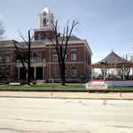
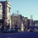
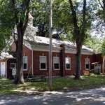
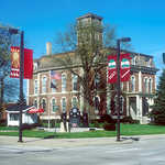
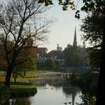
The red brick courthouse stands next to the white washed Marshall Bandstand in Marshall, Illinois.
Public Domain. Lyle Kruger
Download Original (2966 x 1960 pixels, 5664.8 MB)
-
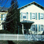
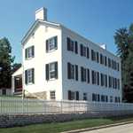
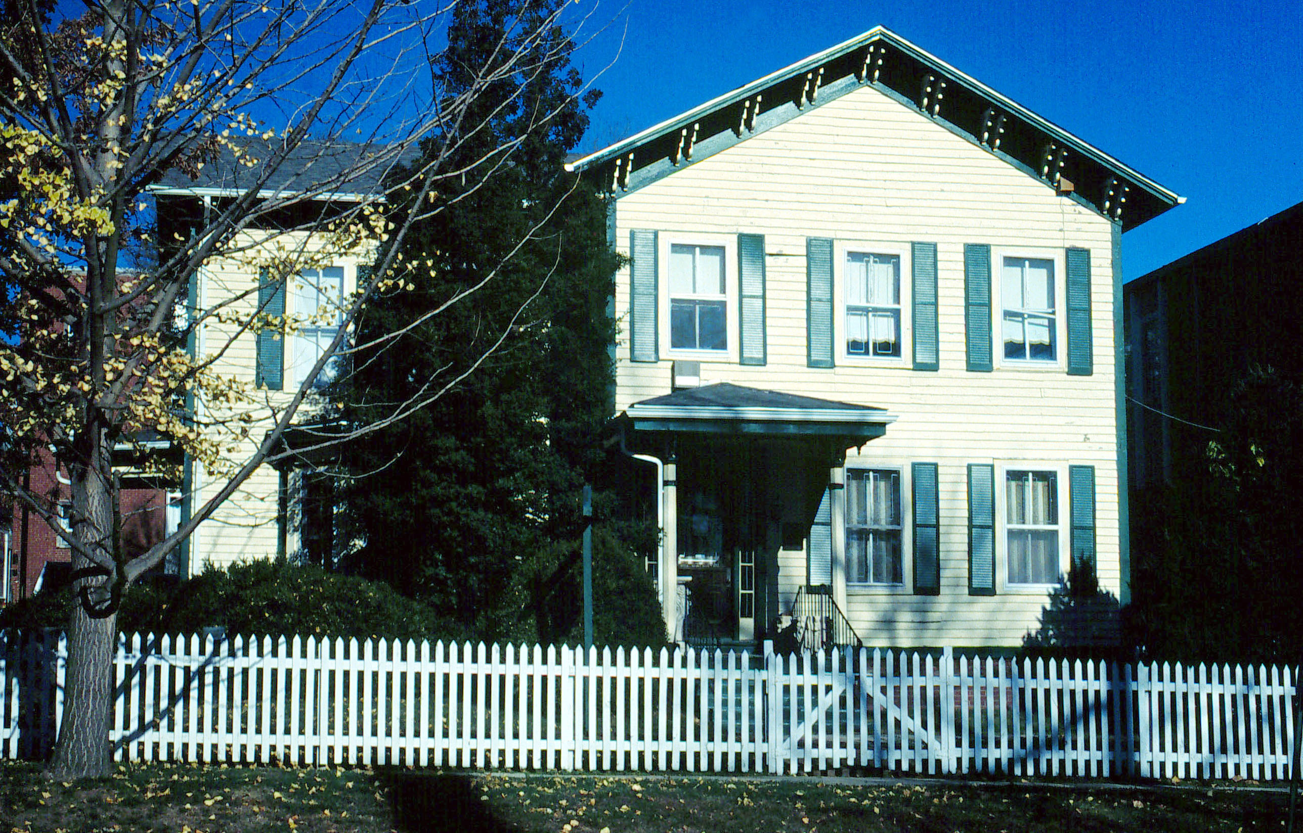
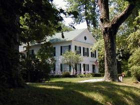
The beige house with green shutters shines in the day light behind a white picket fence.
Public Domain. Lyle Kruger
Download Original (2576 x 1648 pixels, 1017.1 MB)
-
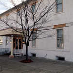
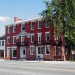
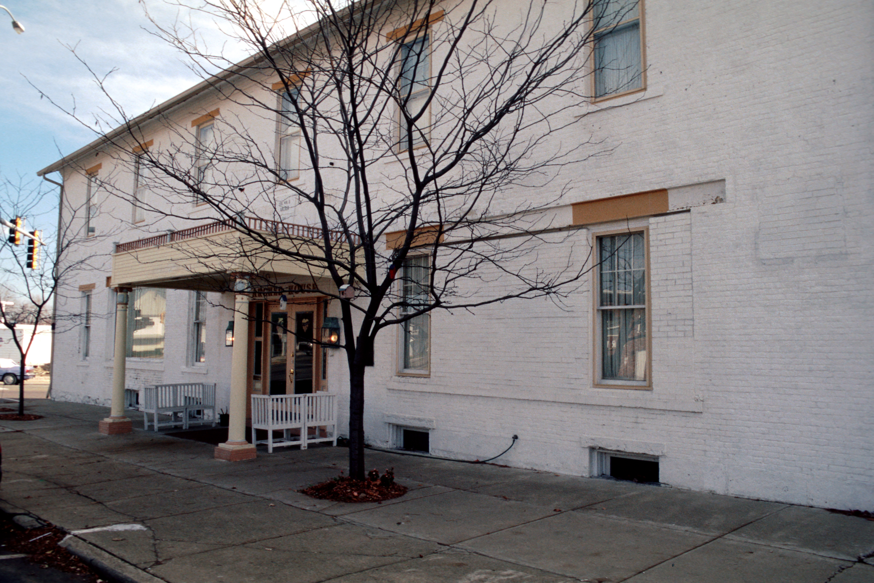
The white-bricked Bed and Breakfast sits beside the road in Marshall, Illinois.
Public Domain. Photo by Lyle Kruger
Download Original (2928 x 1956 pixels, 5202.6 MB)
-
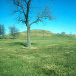
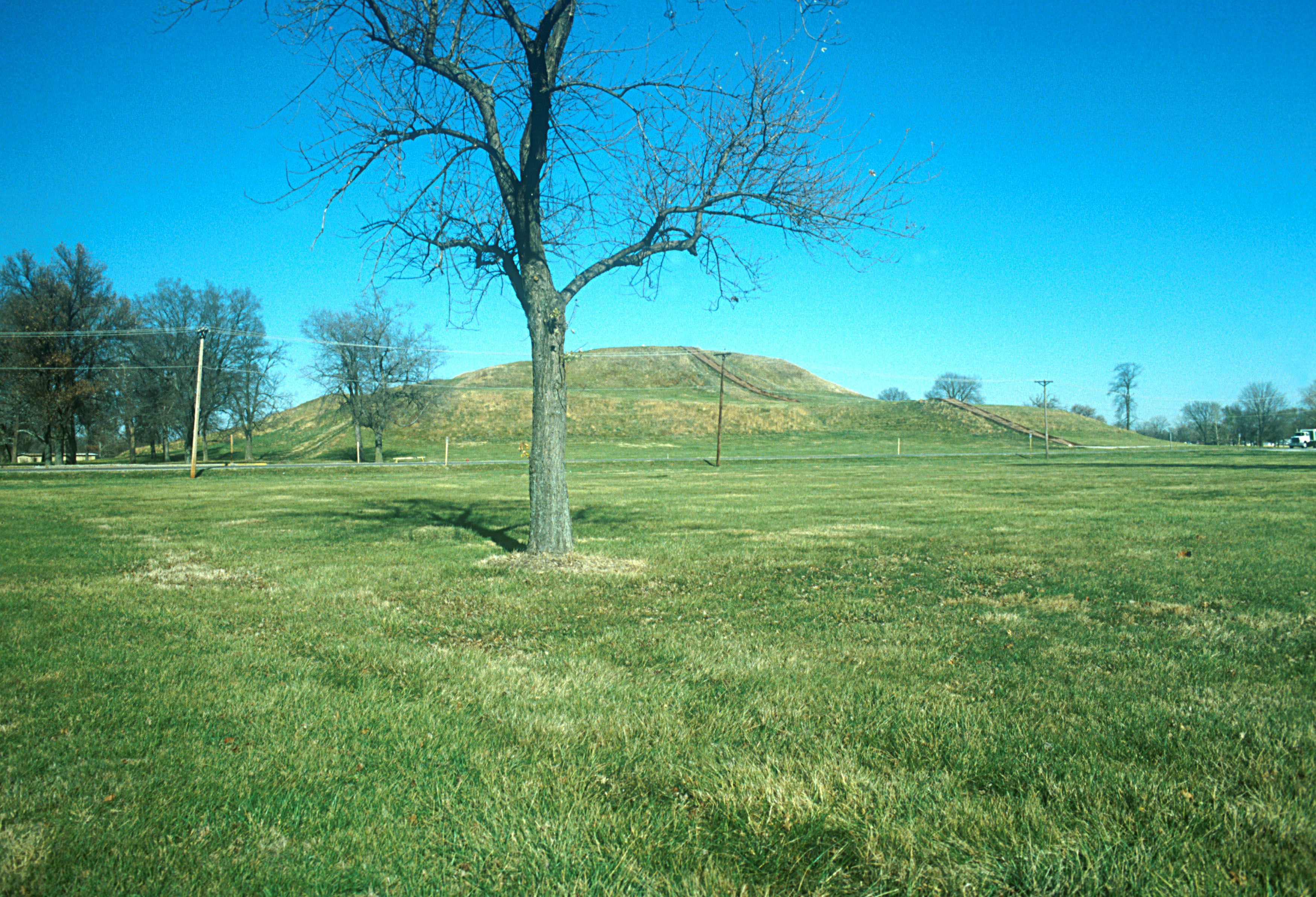
In the distance, the grass covered Monks Mound rises up from the flat surrounding area at Cahokia Mounds State Historic Site.
Public Domain. Photo by Lyle Kruger
Download Original (3498 x 2383 pixels, 1907.3 MB)
-
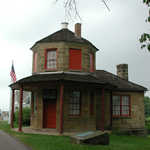
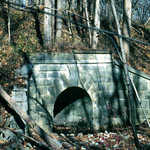
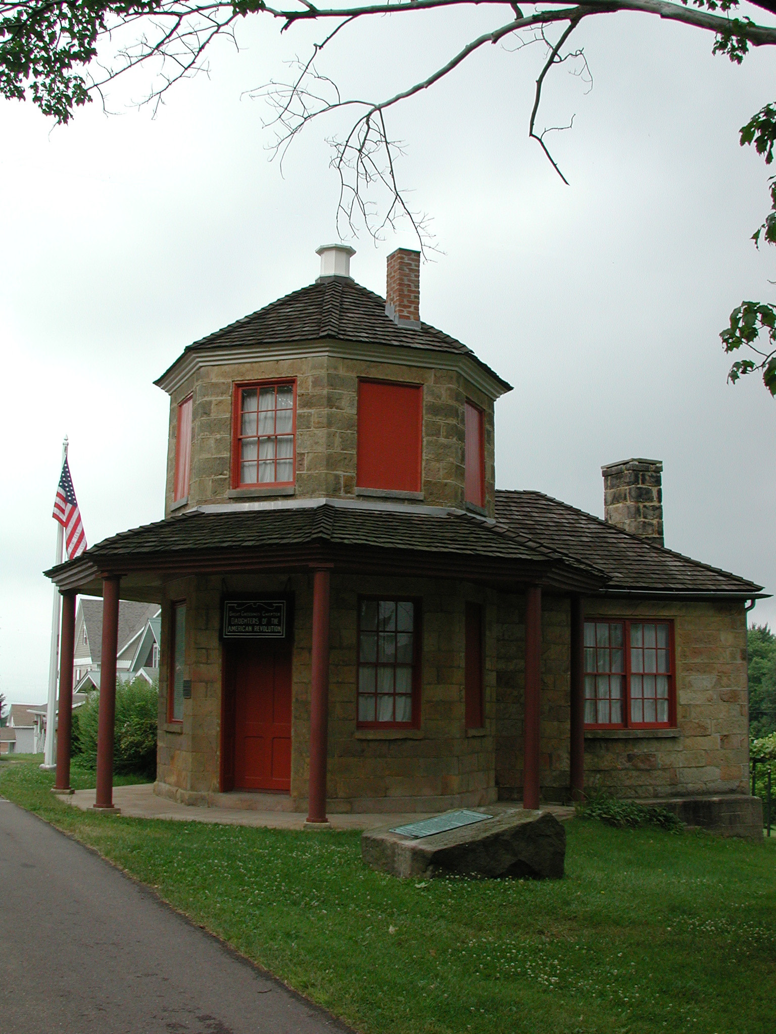
Built of native-cut stone, the Addison Tollhouse stands under an imposing grey sky.
Public Domain. National Road Heritage Corridor
Download Original (1536 x 2048 pixels, 941.8 KB)
-
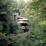
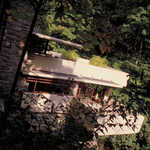
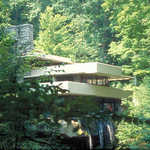
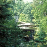
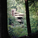
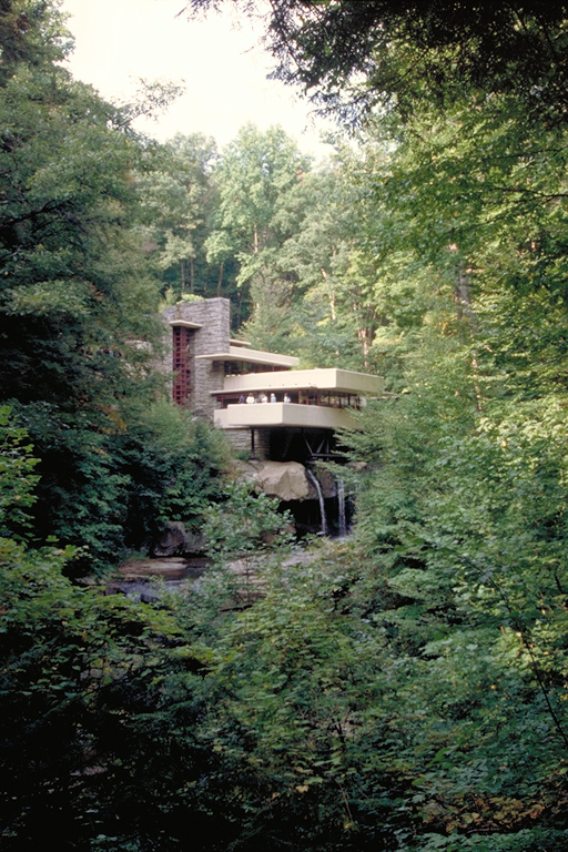
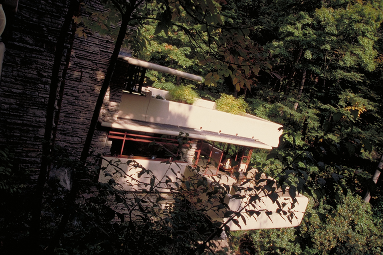
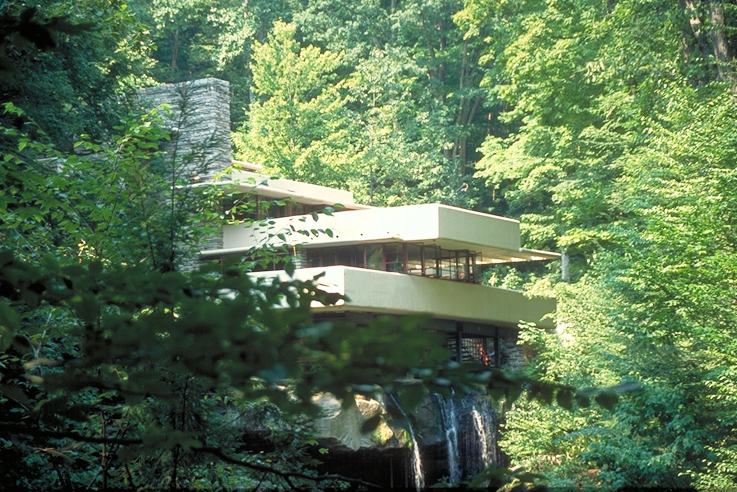
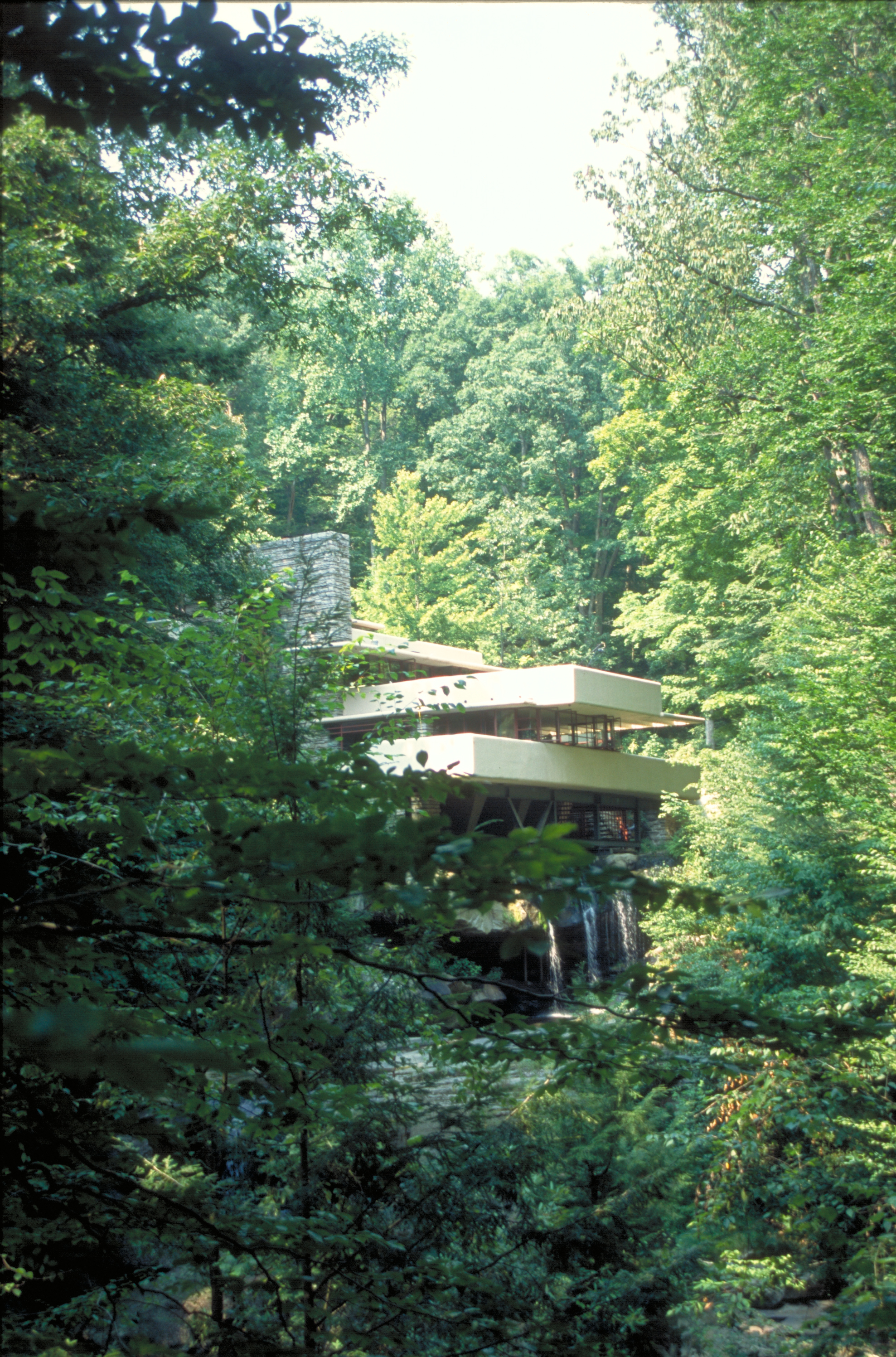
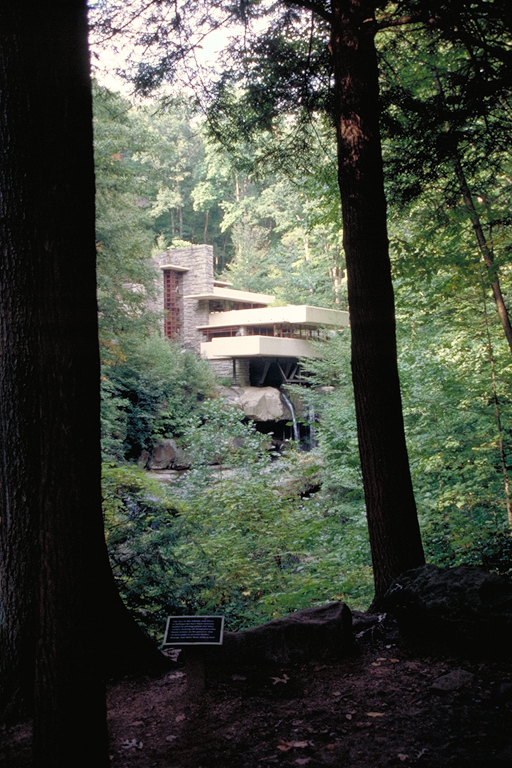
This vertical view shows Fallingwater peeking out of the surrounding foliage.
Public Domain. Photo by Dennis Adams
Download Original (512 x 768 pixels, 510.4 KB)
-
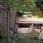
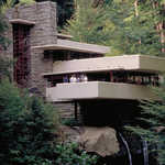
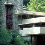
Frank Lloyd Wright's Fallingwater harmonizes with the landscape surrounding it.
Public Domain. Photo by Dennis Adams
Download Original (512 x 768 pixels, 474.8 KB)
-
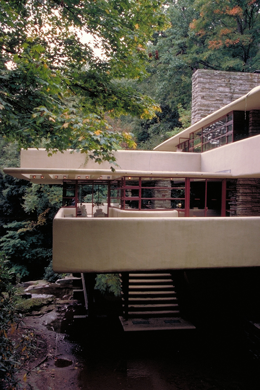
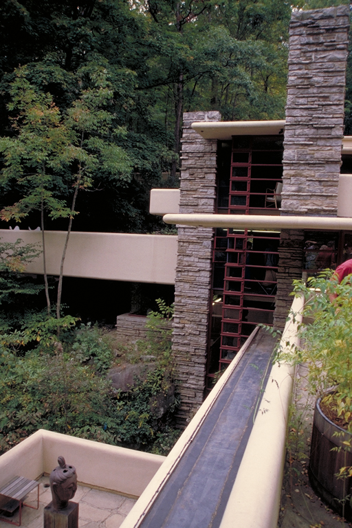
The famous porches of Fallingwater are framed by green leaves and shrubbery.
Public Domain. Photo by Dennis Adams
Download Original (512 x 768 pixels, 458.4 KB)
-
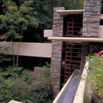
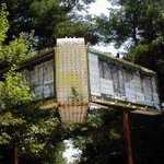
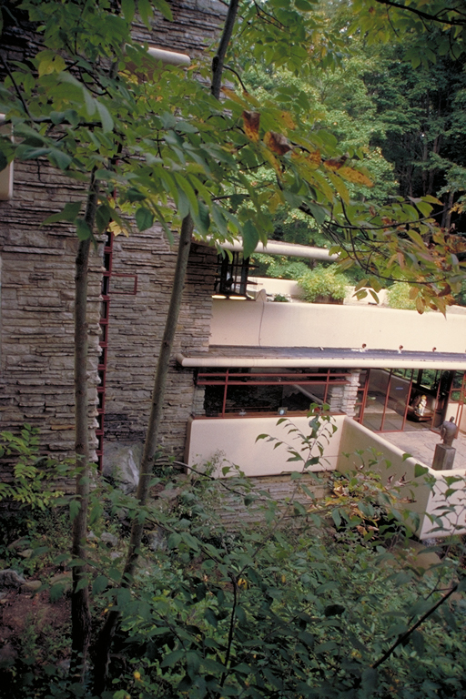
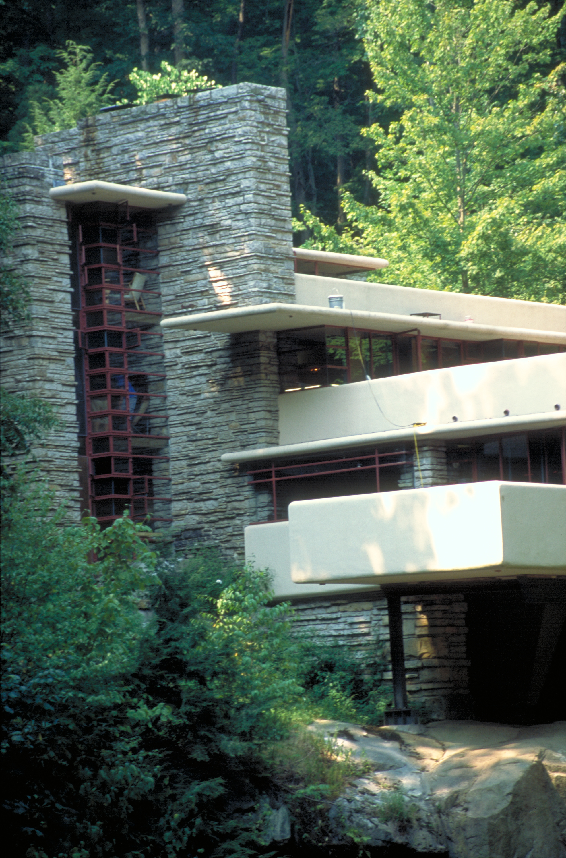
This unique angle shows some of the porches of Fallingwater.
Public Domain. Photo by Dennis Adams
Download Original (768 x 512 pixels, 476.4 KB)
-
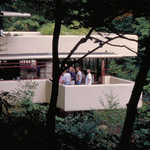
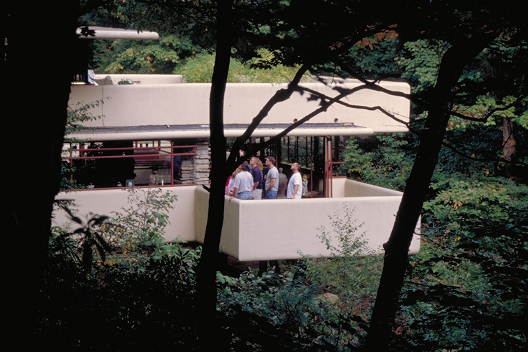
Visitors tour Fallingwater to learn about Wright's architectural designs.
Public Domain. Photo by Dennis Adams
Download Original (768 x 512 pixels, 386.7 KB)
-
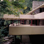
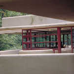
Different levels provide several porches that reach out into the surrounding forest.
Public Domain. Photo by Dennis Adams
Download Original (512 x 768 pixels, 426.7 KB)
-
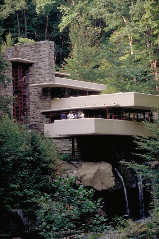
Cantilevers allow the upper stories of the house to reach out of the falling water from which the house gains its name.
Public Domain. Photo by Dennis Adams
Download Original (737 x 492 pixels, 518.3 KB)
-
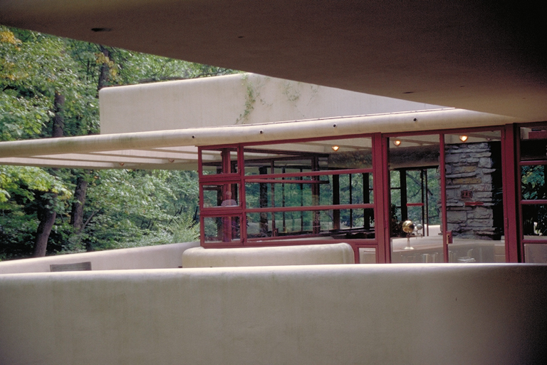
The horizontal and vertical lines of Fallingwater cross at ninety degree angles to give a feeling of balance and harmony. A glimpse of a sculpture on a porch is seen.
Public Domain. Photo by Dennis Adams
Download Original (512 x 768 pixels, 441.5 KB)
-
Wright used horizontal lines throughout Fallingwater to blend with the surroundings and relay a sense of peace and rest.
Public Domain. Photo by Dennis Adams
Download Original (768 x 512 pixels, 342.5 KB)
-
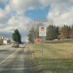
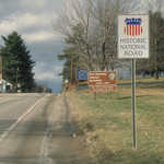
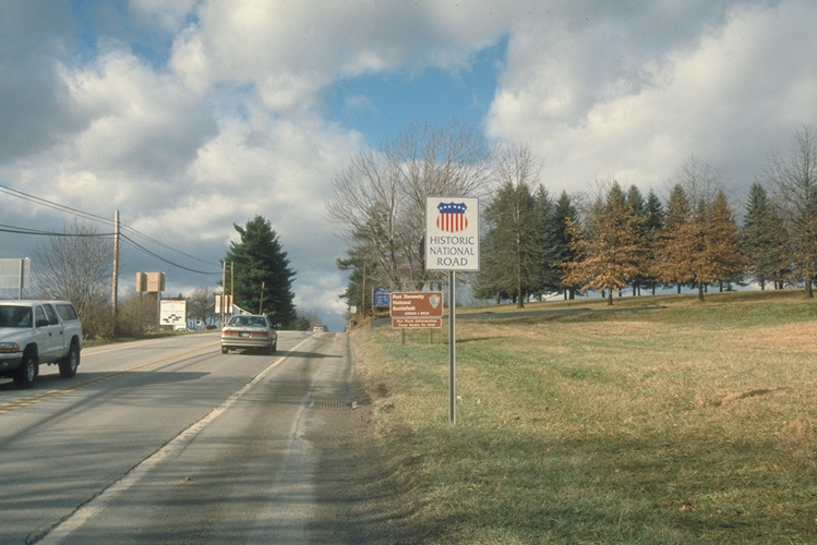
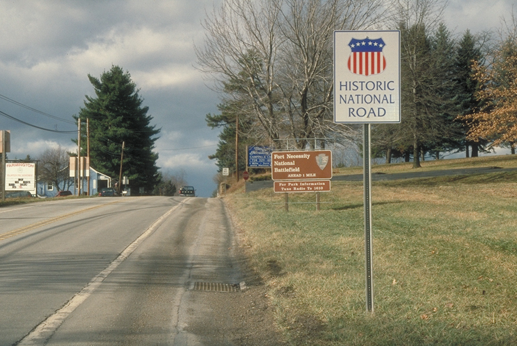
An official sign designates this road as part of the 824-mile Historic National Road.
Public Domain. Photo by Dennis Adams
Download Original (749 x 500 pixels, 346.1 KB)
-
An official sign designates this road as part of the 824-mile Historic National Road.
Public Domain. Photo by Dennis Adams
Download Original (746 x 499 pixels, 390.5 KB)
-
The horizontal lines of Frank Lloyd Wright's Fallingwater peer out from a surrounding forest.
Public Domain. Photo by Dennis Adams
Download Original (1977 x 2994 pixels, 5033.1 MB)
-
Vertical and horizontal lines at Fallingwater create harmony in the forest around them.
Public Domain. Photo by Dennis Adams
Download Original (1972 x 2988 pixels, 4303.5 MB)
-
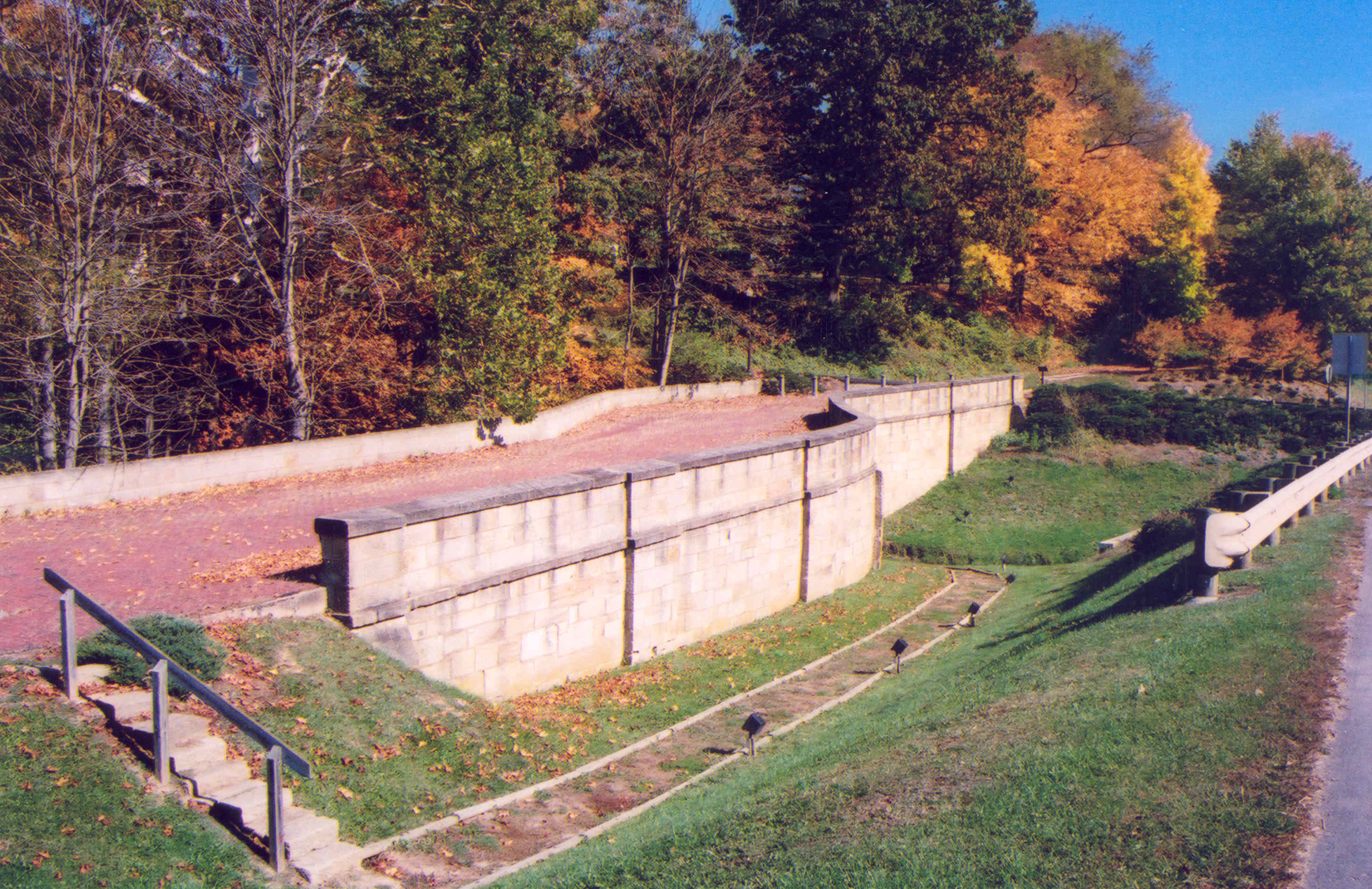
Tourists and autumn leaves linger on the Fox Run S-Bridge which has a restored red brick surface.
Public Domain. Photo by A. E. Crane
Download Original (2942 x 1919 pixels, 5898.2 MB)
-
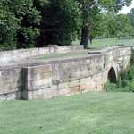
In the distance you can see the Peters Creek S-Bridge, typical of its time period of the mid-1800s. S-Bridges were so built to reduce their resistance to water and lower the cost of construction.
Public Domain. Photo by A. E. Crane
Download Original (2932 x 1919 pixels, 2468.2 MB)
-
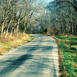
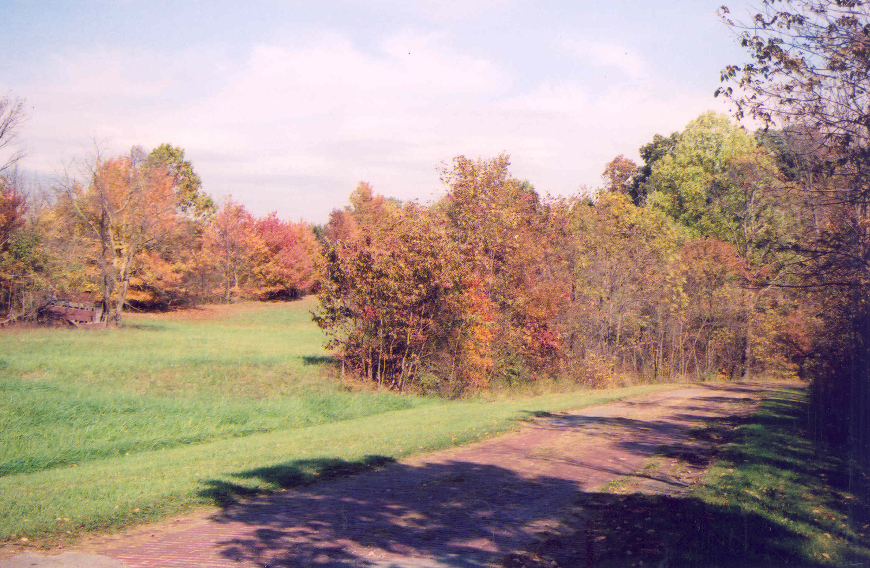
Fall trees cast their shadow across Peacock Road, four miles west of Old Washington.
Public Domain. Photo by A. E. Crane
Download Original (2940 x 1919 pixels, 4608.4 MB)
-
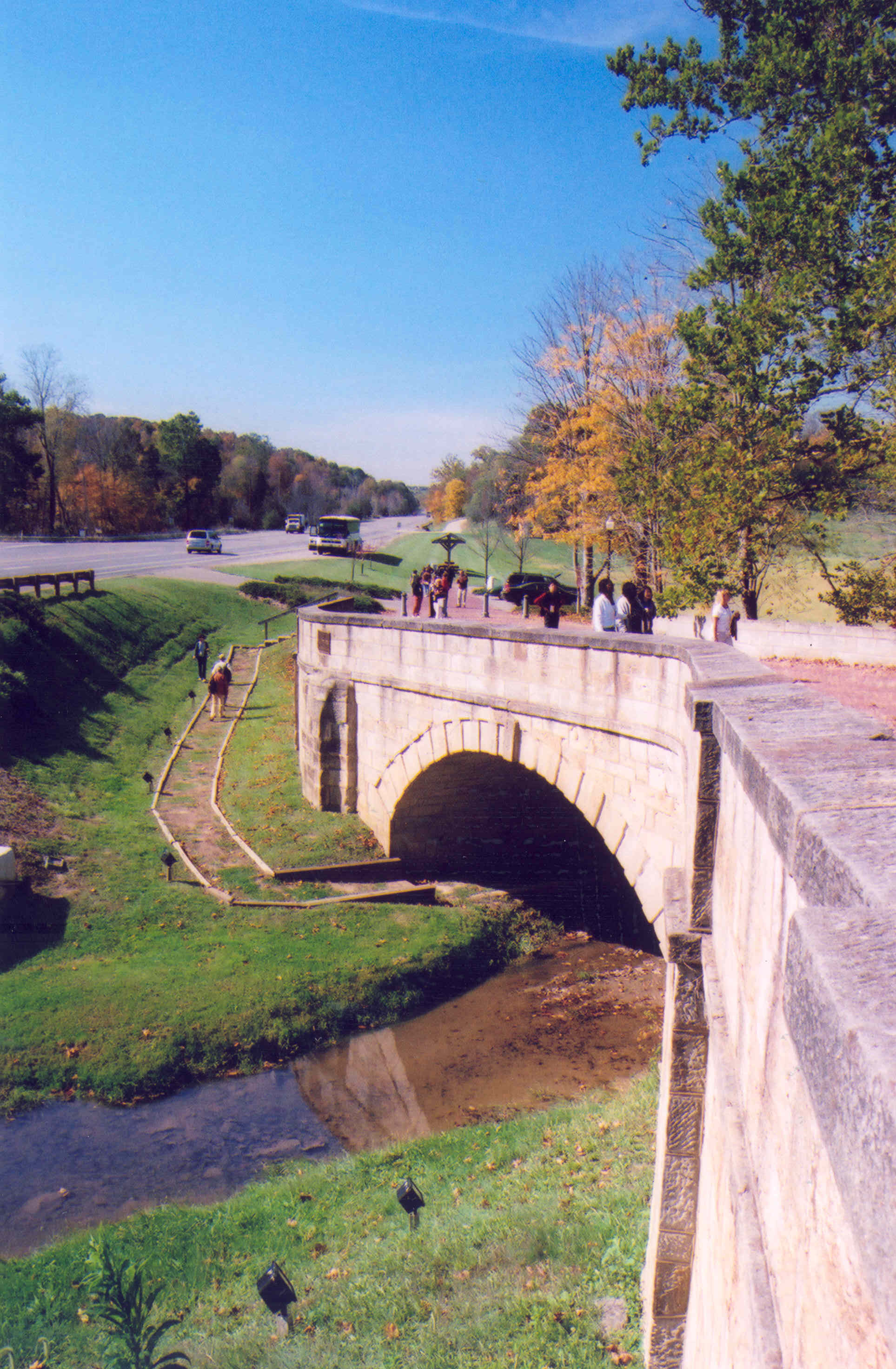
Look west along the Historic National Road at the Fox Run S-Bridge. The angle of the photo affords a look at the unique contour of S-bridges, so built to reduce water erosion and because it was cheaper than building a straight bridge.
Public Domain. Photo by A. E. Crane
Download Original (1927 x 2944 pixels, 1838.0 MB)
-
The Fox Run S-Bridge has been resurfaced with red bricks. It represents an original portion of the Historic National Road.
Public Domain. Photo by A. E. Crane
Download Original (2914 x 1888 pixels, 5990.6 MB)
-
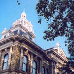
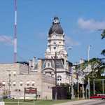
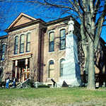
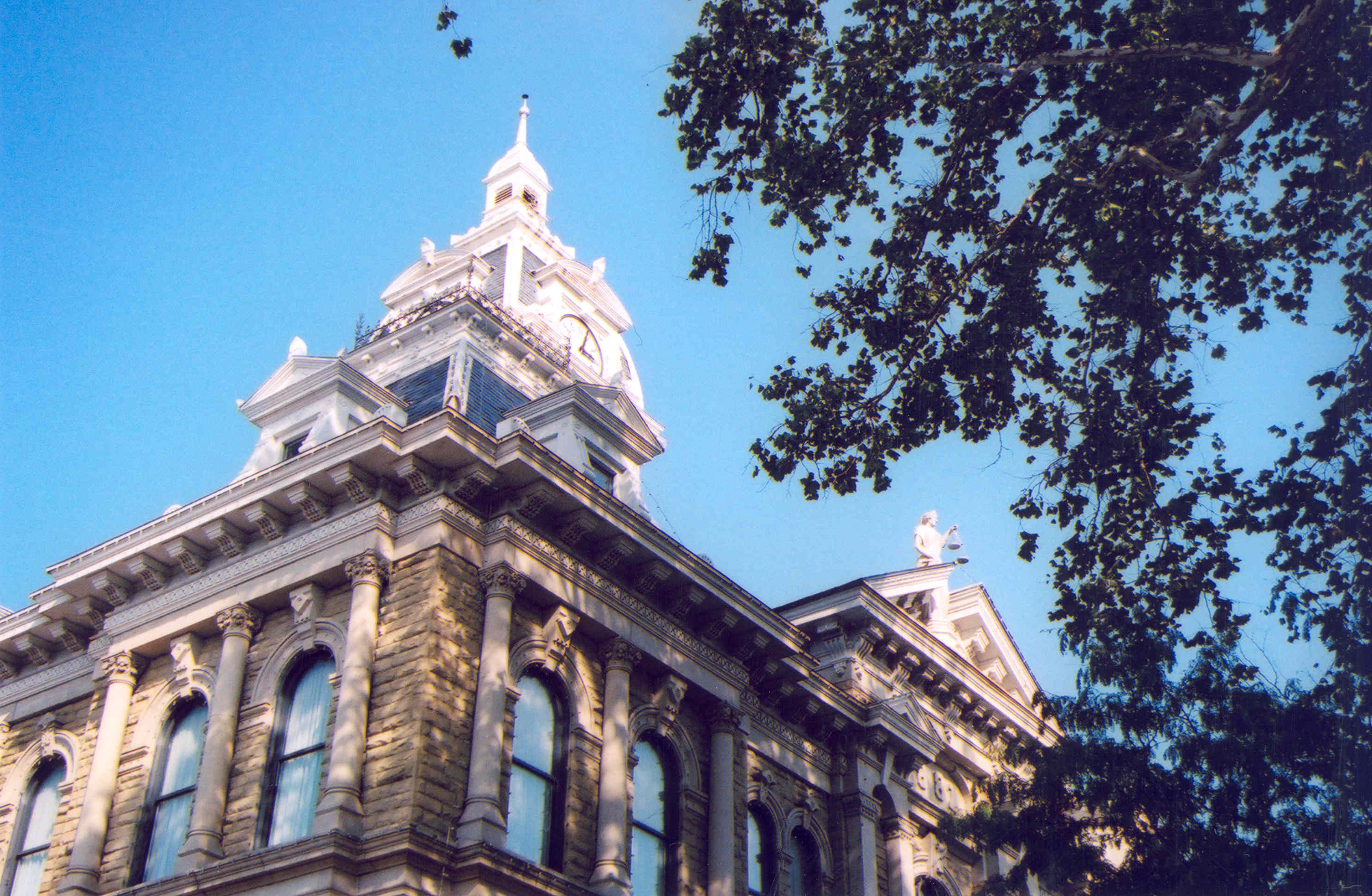
A large tree casts its shadow on the grand Belmont County Courthouse in St. Clairsville, Ohio.
Public Domain. Photo by A. E. Crane
Download Original (2949 x 1927 pixels, 4842.8 MB)
-
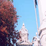
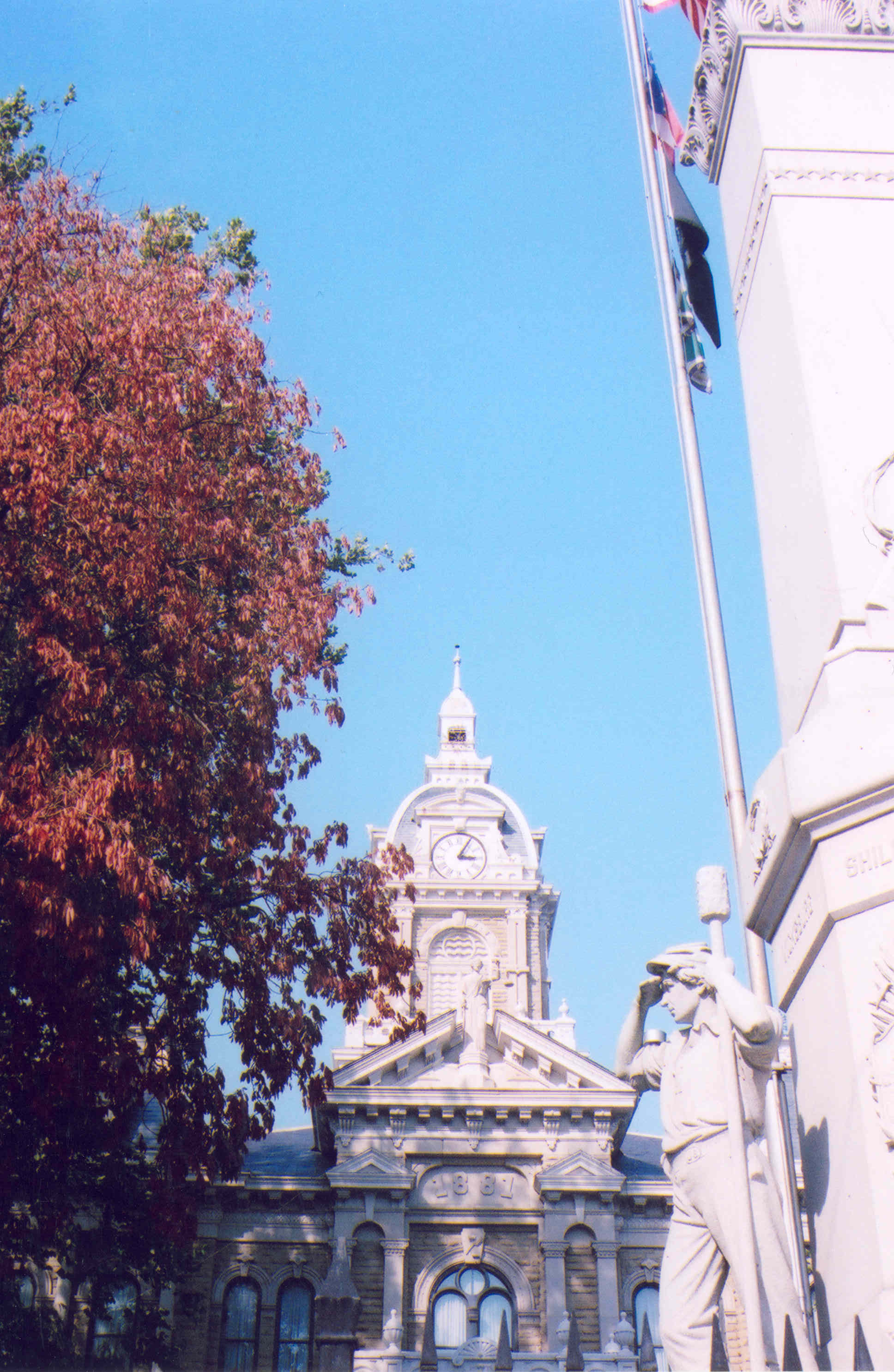
This is a unique view of the Belmont County Courthouse in St. Clairsville, Ohio.
Public Domain. Photo by A. E. Crane
Download Original (1936 x 2972 pixels, 1571.7 MB)
-
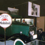
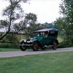
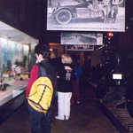
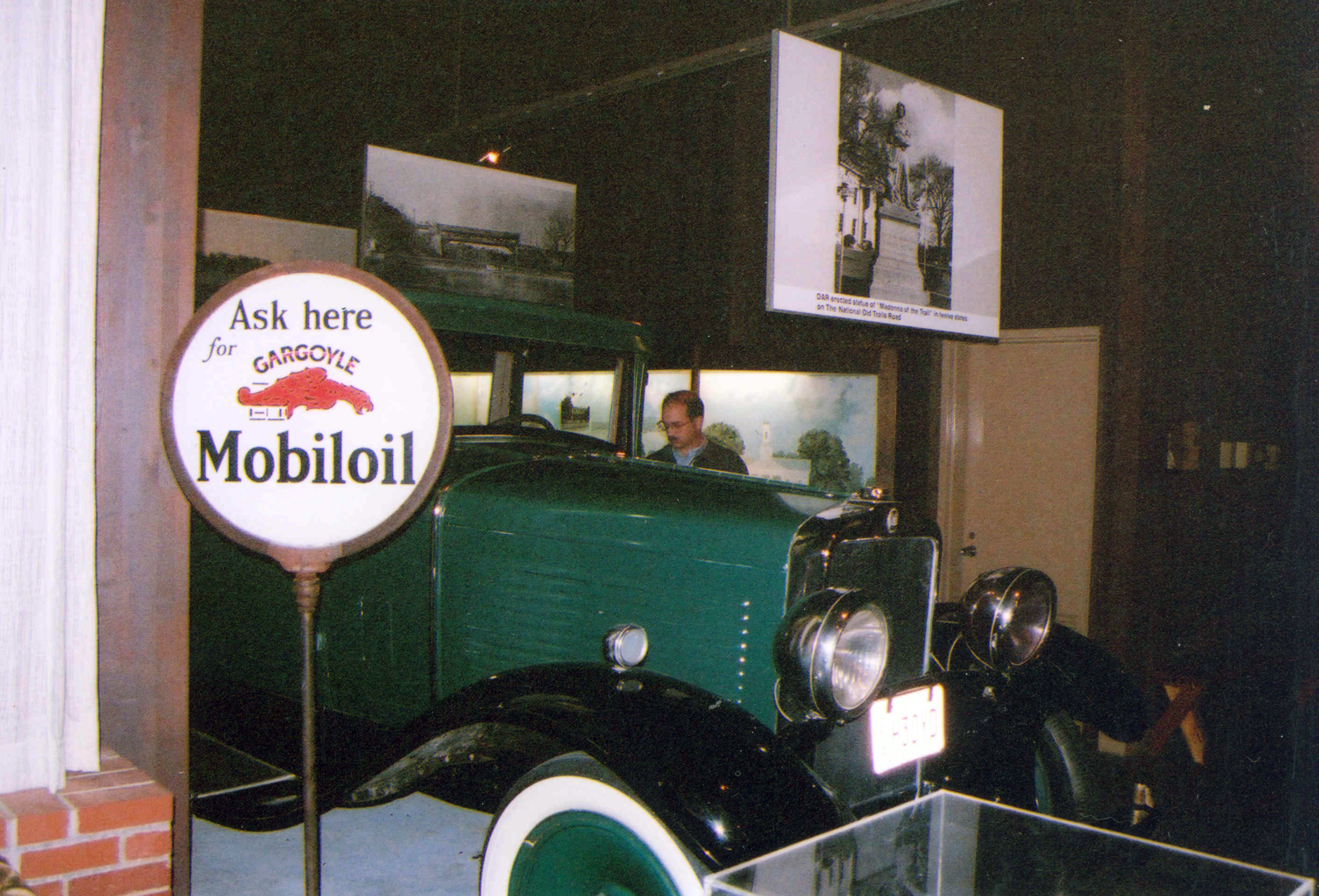
This green vintage car is part of the floor display at the National Road/Zane Grey Museum in Norwich.
Public Domain. Photo by A. E. Crane
Download Original (2824 x 1919 pixels, 3364.1 MB)
-
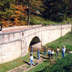
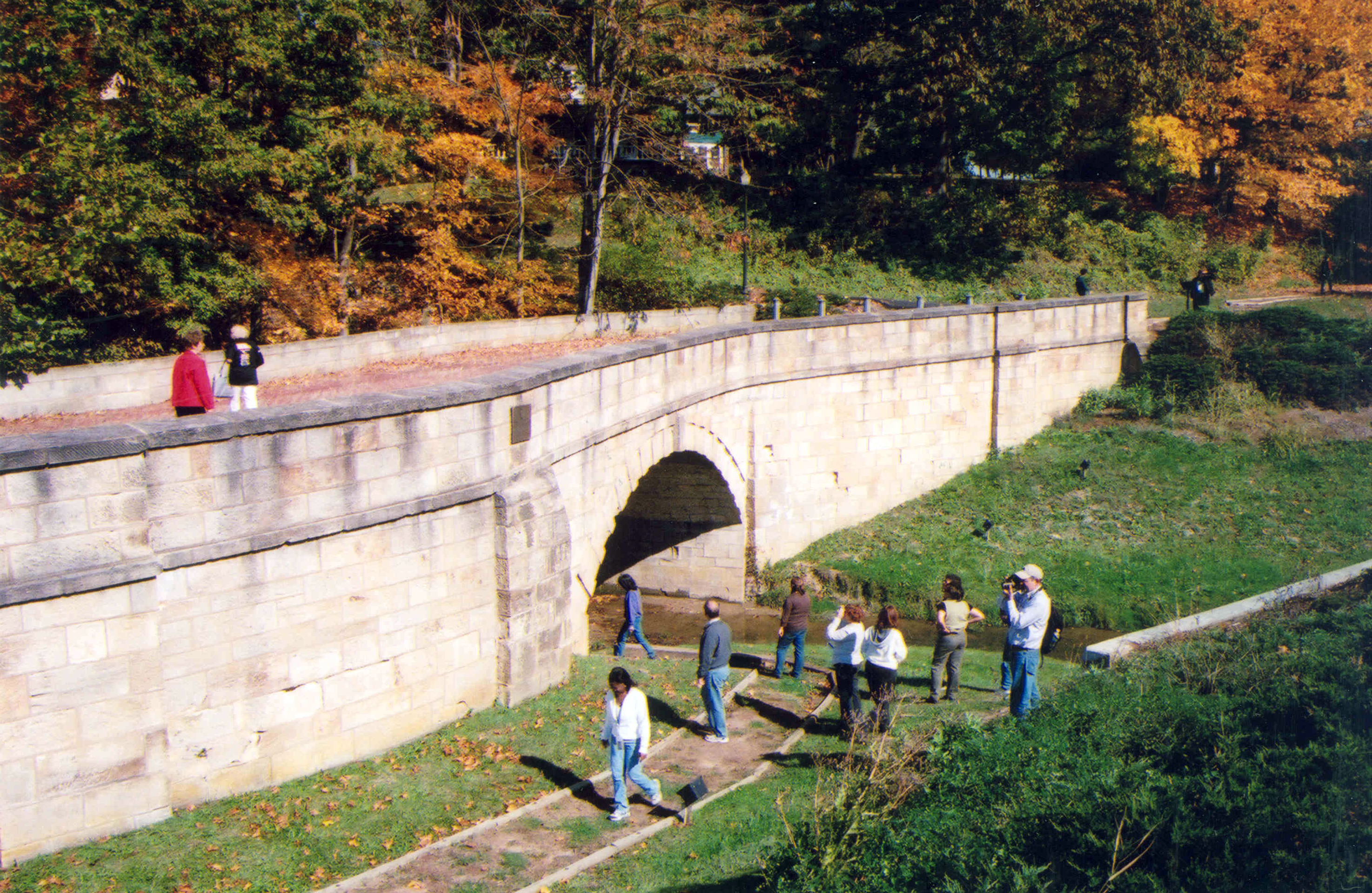
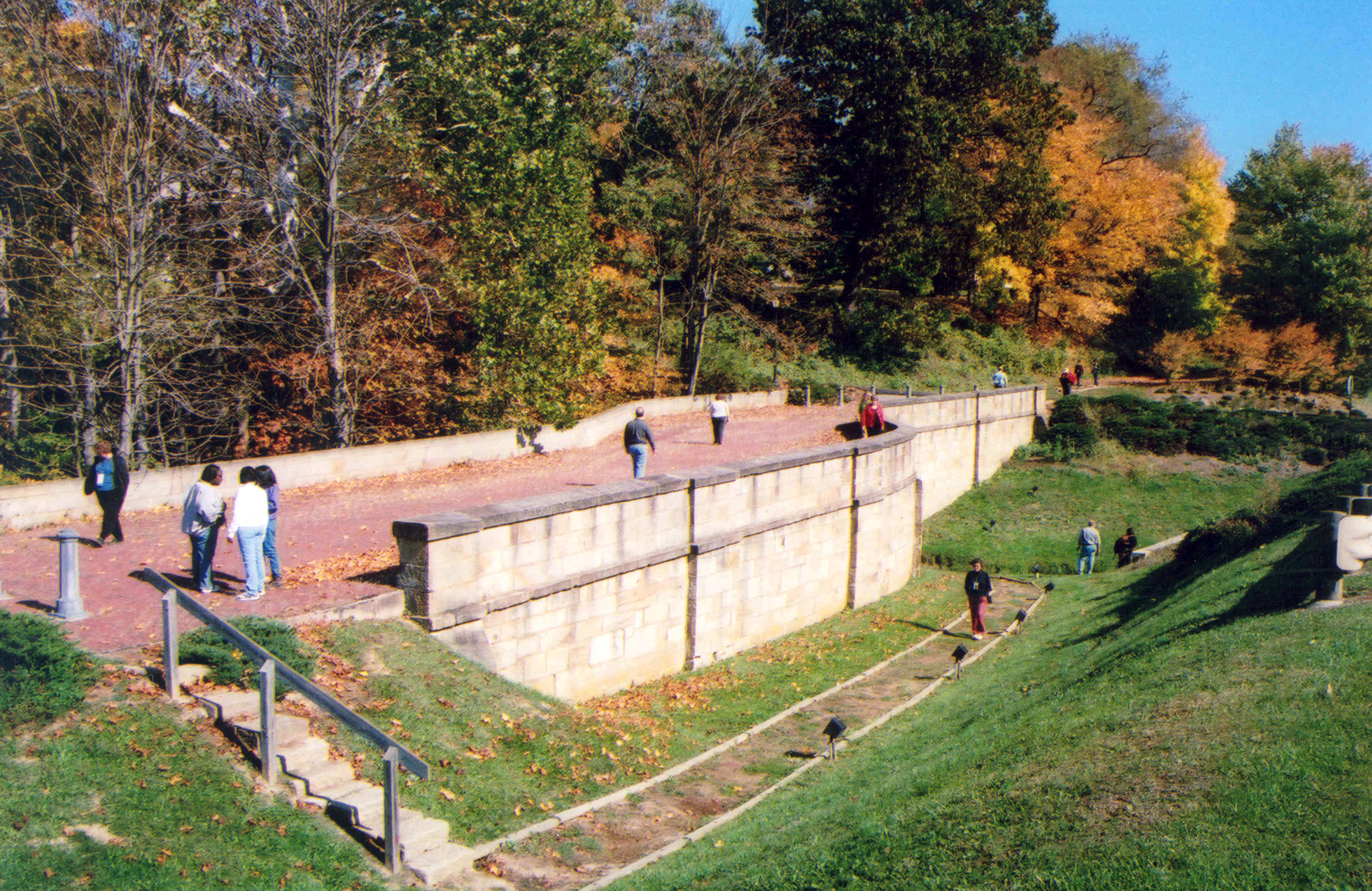
A few visitors check out the Fox Run S-Bridge from the walkway at the water's edge, below the bridge.
Public Domain. Photo by A. E. Crane
Download Original (2949 x 1919 pixels, 5737.0 MB)
-
A few people enjoy the sunny fall day on the restored Fox Creek S-Bridge near New Concord.
Public Domain. Photo by A. E. Crane
Download Original (2955 x 1919 pixels, 2781.3 MB)
-
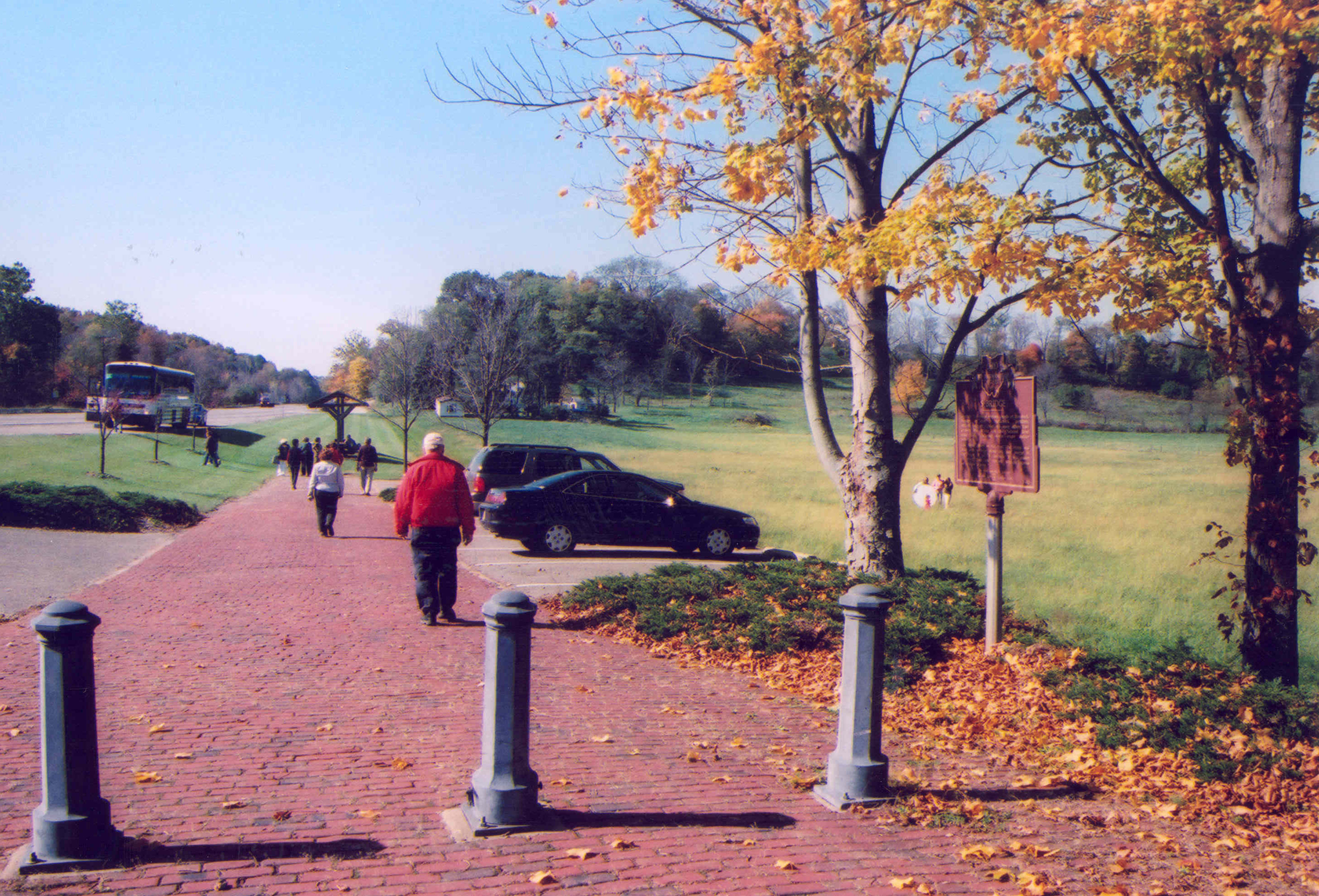
A few people walk west near the Fox Run S-Bridge on the original alignment of the National Road in Ohio.
Public Domain. Photo by A. E. Crane
Download Original (2902 x 1971 pixels, 3999.4 MB)
-
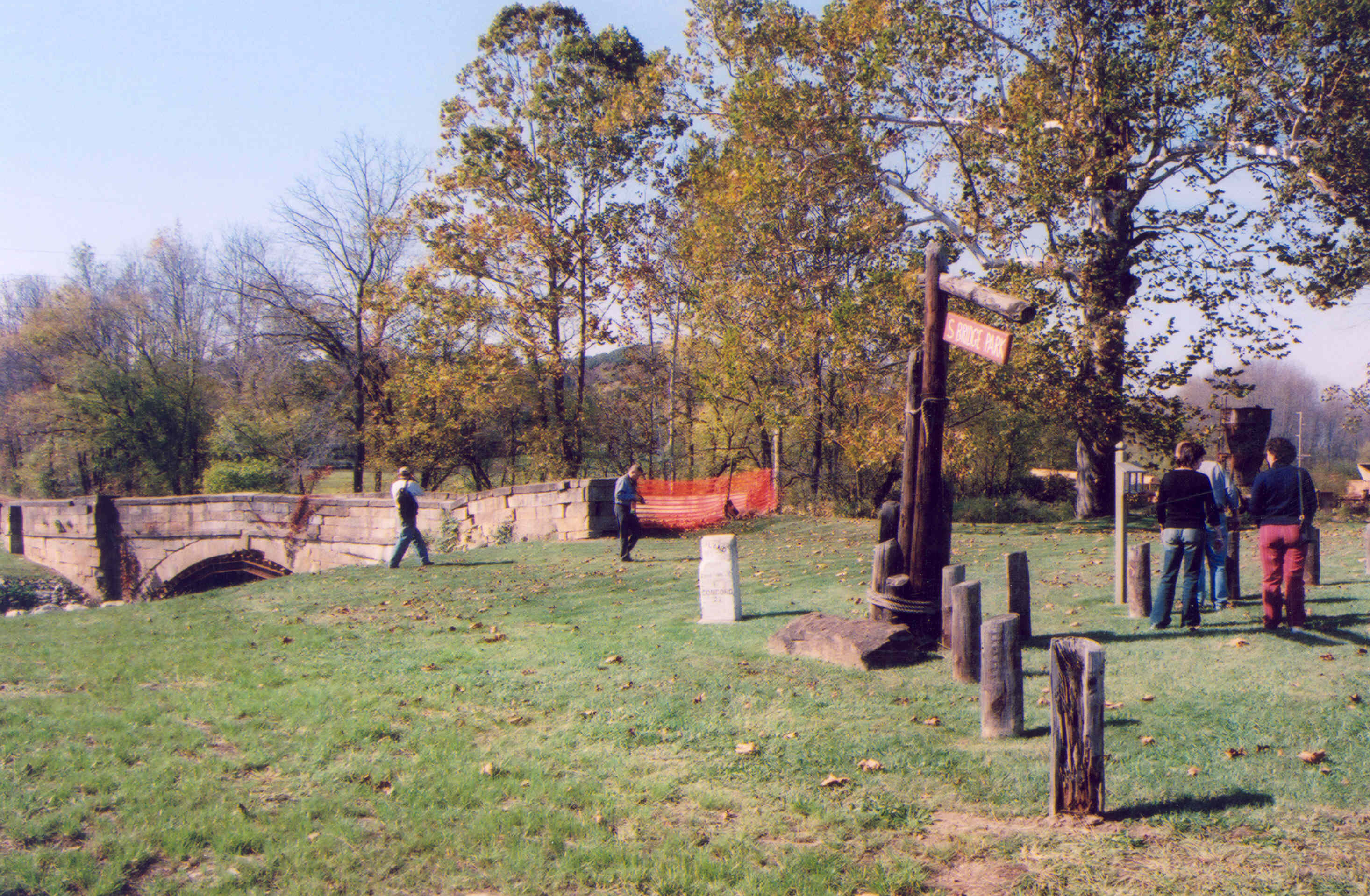
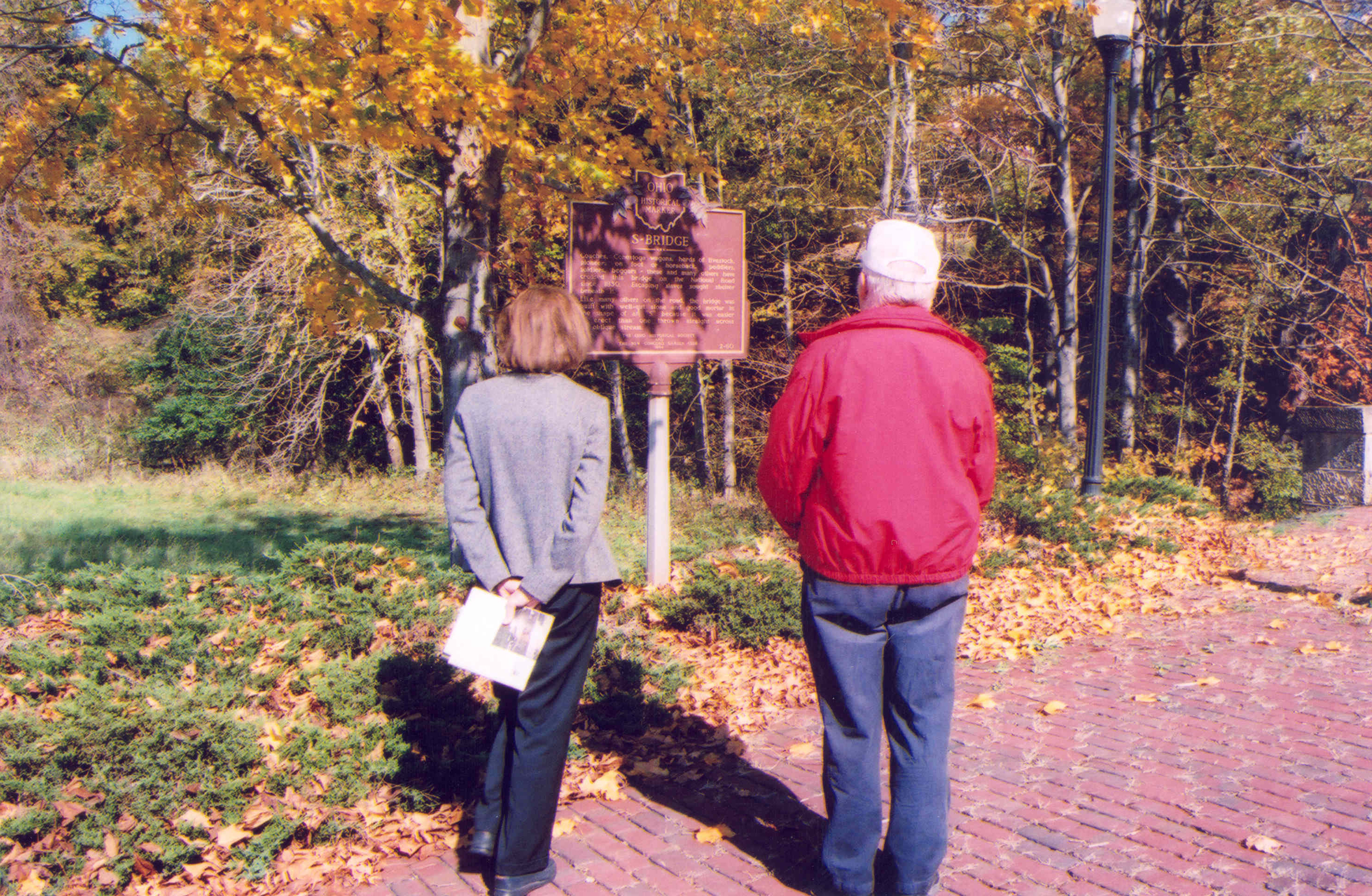
Two visitors read an interpretive sign near the Fox Run S-Bridge on this sunny fall day.
Public Domain. Photo by A. E. Crane
Download Original (2949 x 1927 pixels, 6299.8 MB)
-
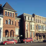
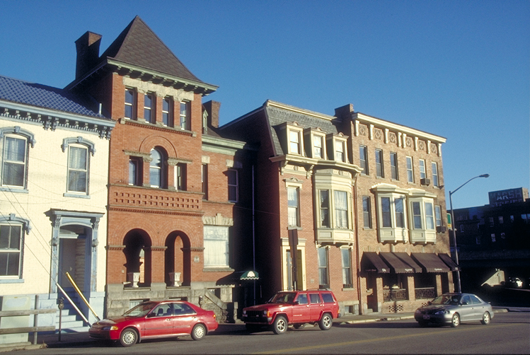
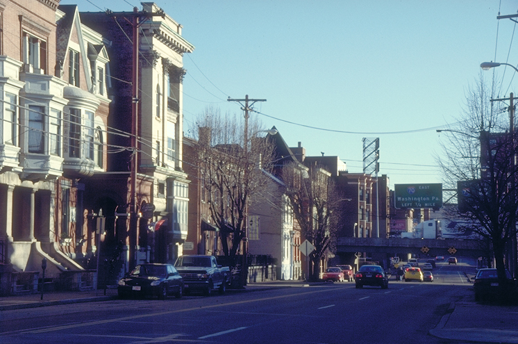
Different architectural styles, from Mansard to Italianate, make up these townhouses in Wheeling on the Historic National Road.
Public Domain. Photo by Dennis Adams
Download Original (749 x 502 pixels, 382.3 KB)
-
A visit to downtown Wheeling will allow the visitor to explore one of the major towns on the Historic National Road.
Public Domain. Photo by Dennis Adams
Download Original (746 x 495 pixels, 380.8 KB)
-
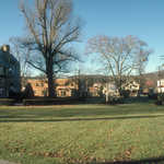
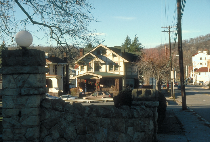
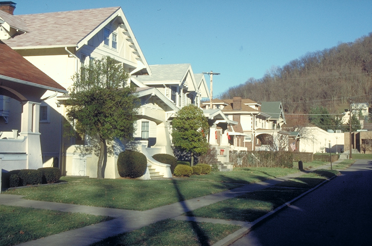
Houses along the Historic National Road near Wheeling, WV, give visitors a look at what it might be like to live there.
Public Domain. Photo by Dennis Adams
Download Original (752 x 501 pixels, 461.9 KB)
-
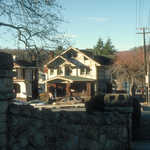
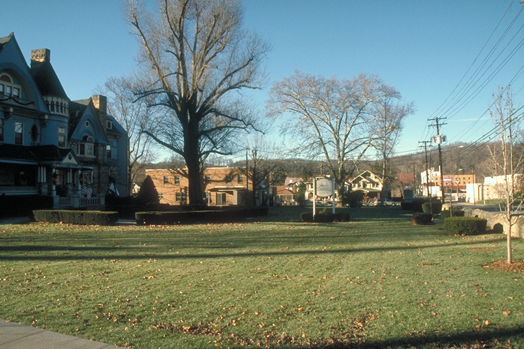
Enjoy quiet communities like this during your visit in Wheeling on the Historic National Road.
Public Domain. Photo by Dennis Adams
Download Original (730 x 494 pixels, 392.7 KB)
-
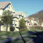
Manicured lawns and views of the hills make this residential area in Wheeling a touch of home on the Historic National Road.
Public Domain. Photo by Dennis Adams
Download Original (746 x 494 pixels, 361.4 KB)
-
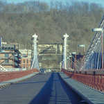
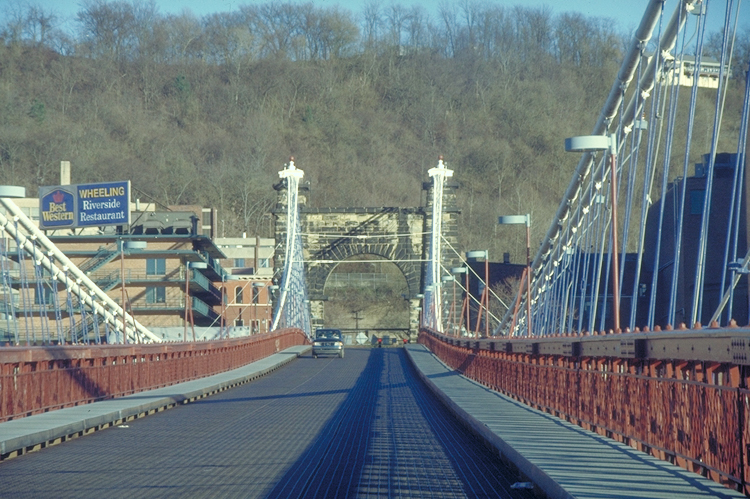
This view gives a different perspective of the Wheeling Suspension Bridge.
Public Domain. Photo by Dennis Adams
Download Original (750 x 499 pixels, 420.5 KB)
-
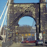
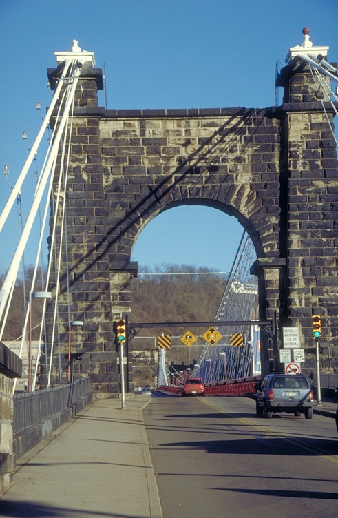
A spacious sidewalk will allow you to walk the Wheeling Suspension Bridge and get a closer look at its design and architecture.
Public Domain. Photo by Dennis Adams
Download Original (491 x 752 pixels, 381.3 KB)
-

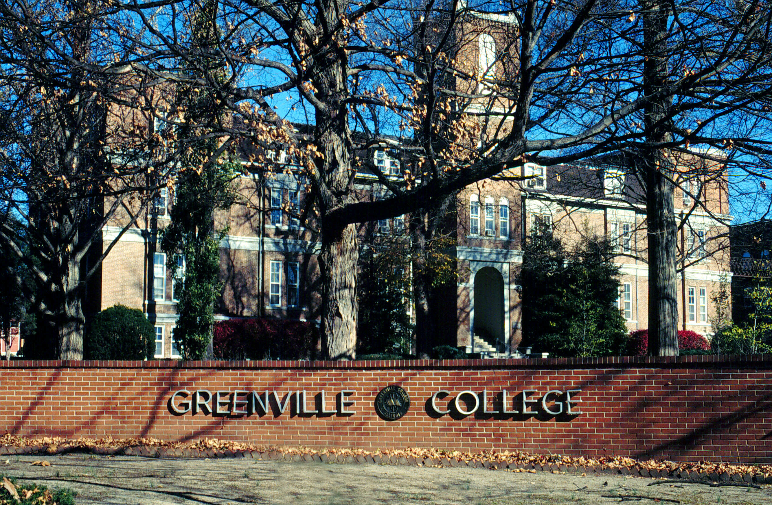
Greenville College is obscured by autumn trees and a red brick fence with the name of the school.
Public Domain. Lyle Kruger
Download Original (2668 x 1748 pixels, 1487.5 MB)
-
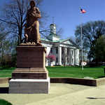
The "Madonna of the Trail" stands before the old state building Vandalia.
Public Domain. Photo by Lyle Kruger
Download Original (2409 x 3520 pixels, 7907.9 MB)
-
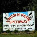
Another automobile hobby is the speedway in Putnamville.
Public Domain. Photo by William Eccles
Download Original (280 x 210 pixels, 32.1 KB)
-
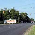
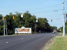
The Clabber Girl billboard has long been a landmark on the east side of Terre Haute, telling the travelers the time.
Public Domain. Photo by William Eccles
Download Original (280 x 210 pixels, 25.3 KB)
-
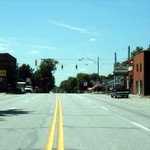
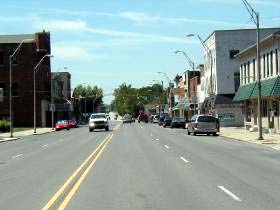
Downtown Plainfield is a viable downtown with businesses along Main Street, the National Road.
Public Domain. Photo by William Eccles
Download Original (280 x 210 pixels, 24.5 KB)
-
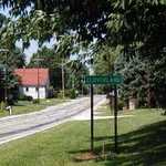
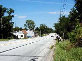
Manhattan is a small town along the Road that has survived as a nice little place to live.
Public Domain. Photo by William Eccles
Download Original (280 x 210 pixels, 29.0 KB)
-
Brazil's downtown street, named National Avenue, still has active businesses along it.
Public Domain. Photo by William Eccles
Download Original (280 x 210 pixels, 26.9 KB)
-
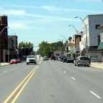
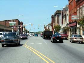
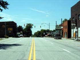
This is downtown Belleville, looking west, one of few towns along the National Road west of Indianapolis.
Public Domain. Photo by William Eccles
Download Original (280 x 210 pixels, 22.9 KB)
-
One purpose of the National Road, when the legislation was passed in 1806, was to carry agricultural products east from the new Northwest Territory.
Public Domain. Photo by William Eccles
Download Original (280 x 210 pixels, 34.5 KB)
-

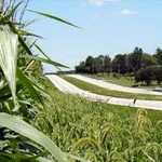
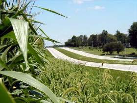
This corn field and many others like it reminds us that Indiana is still very much an agricultural state.
Public Domain. Photo by William Eccles
Download Original (280 x 210 pixels, 23.2 KB)
-
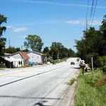
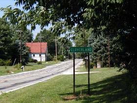
Cloverland is a small settlement along route 340 near Seelyville.
Public Domain. Photo by William Eccles
Download Original (280 x 210 pixels, 36.7 KB)
-
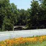
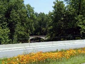
The old bridge over Big Walnut Creek is seen from the new bridge that carries the National Road near Pleasant Gardens.
Public Domain. Photo by William Eccles
Download Original (280 x 210 pixels, 37.7 KB)
-
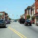
This is downtown Stilesville, looking west, one of few towns along the National Road west of Indianapolis.
Public Domain. Photo by William Eccles
Download Original (280 x 210 pixels, 24.0 KB)
-
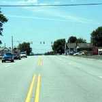
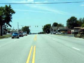
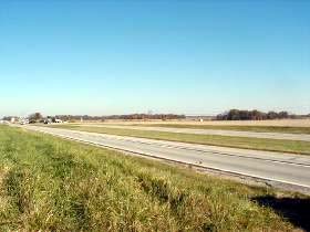
On the National Road looking east from Belleville, you can see downtown Indianapolis on a clear day -- if you look real hard.
Public Domain. Photo by William Eccles
Download Original (280 x 210 pixels, 22.6 KB)
-
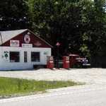
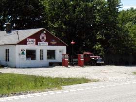
This filling station has met the fate of many small businesses along the National Road.
Public Domain. Photo by William Eccles
Download Original (280 x 210 pixels, 28.4 KB)
-

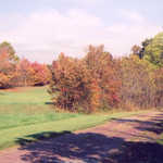
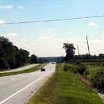
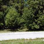
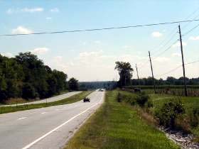
Much of Indiana north of the National Road is very flat, the result of the passage of several glaciers long ago.
Public Domain. Photo by William Eccles
Download Original (280 x 210 pixels, 24.6 KB)
-

Norm and Rosemary Hunt have maintained their home east of Brazil for many years. Eaglesfield (c. 1855) is on the Register of Historic Places.
Public Domain. Photo by William Eccles
Download Original (280 x 210 pixels, 37.0 KB)
-
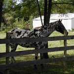
This character is one of our favorite "landmarks" along the Road.
Public Domain. Photo by William Eccles
Download Original (280 x 210 pixels, 33.5 KB)
-

Have you every walked into a corn field? Here's what it looks like -- and you could get lost!
Public Domain. Photo by William Eccles
Download Original (280 x 210 pixels, 42.7 KB)
-
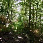
Along the old alignment east of Putnamville is a still older alignment heading down into the woods.
Public Domain. Photo by William Eccles
Download Original (280 x 210 pixels, 45.0 KB)
-
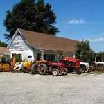
This was a Stuckey's at one time. Now it's surrounded by old tractors and a machine shop.
Public Domain. Photo by William Eccles
Download Original (280 x 210 pixels, 28.0 KB)
-
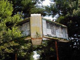
Just west of US-231 are the remains of a drive-in theater, the "passion pit." This sign is about all that remains.
Public Domain. Photo by William Eccles
Download Original (280 x 210 pixels, 39.0 KB)
-

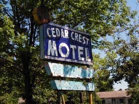
At one time motels were abundant along the road, but with little traffic, they could not survive.
Public Domain. Photo by William Eccles
Download Original (280 x 210 pixels, 45.6 KB)
-

The old post office in Brazil is now the Clay County Museum.
Public Domain. Photo by William Eccles
Download Original (280 x 210 pixels, 26.9 KB)
-
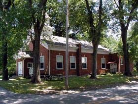
The Putnamville Methodist Church, one of the oldest churches on the Road, was built in 1834. It is listed on the National Register of Historic Places.
Public Domain. Photo by William Eccles
Download Original (280 x 210 pixels, 41.6 KB)
-

The Quakers' Western Yearly Meeting House is the home of the local congregation and the place for the region's annual meeting.
Public Domain. Photo by William Eccles
Download Original (280 x 210 pixels, 31.0 KB)
-
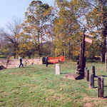
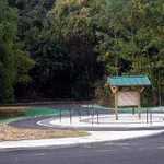
The National Road had rest areas along the way to provide places for travelers to pull off and relax. They are gone now, except Twigg Park.
Public Domain. Photo by William Eccles
Download Original (280 x 210 pixels, 38.4 KB)
-

Walt and June Prosser have restored an 1870 home to pristine condition. Rising Hall is now on the National Register of Historic Places.
Public Domain. Photo by William Eccles
Download Original (280 x 210 pixels, 31.2 KB)
-
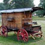
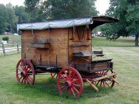
The Littles near Terre Haute own a collection of old wagons, including this reproduction of a rope-maker's wagon.
Public Domain. Photo by William Eccles
Download Original (280 x 210 pixels, 32.0 KB)
-
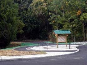
The National Road Heritage Trail is a walking/biking route that will eventually go all the way to the Wabash River.
Public Domain. Photo by William Eccles
Download Original (280 x 210 pixels, 28.3 KB)
-
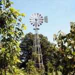
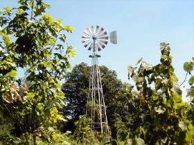
Windmills are a landmark that can be visible far away. They harnessed wind power to do farm work.
Public Domain. Photo by William Eccles
Download Original (280 x 210 pixels, 41.0 KB)
-

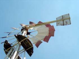
The "tail" on a windmill is not straight out behind the wheel so that a very strong wind will not hit the wheel head on and destroy it.
Public Domain. Photo by William Eccles
Download Original (280 x 210 pixels, 20.5 KB)
-
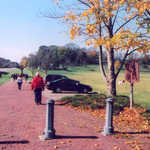
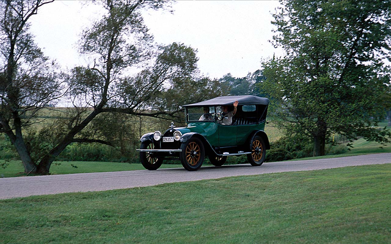
A classic car goes for a drive during the Antique Auto Tour of 2001.
Public Domain. Photo by William Eccles
Download Original (1280 x 800 pixels, 253.6 KB)
-
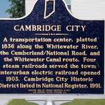
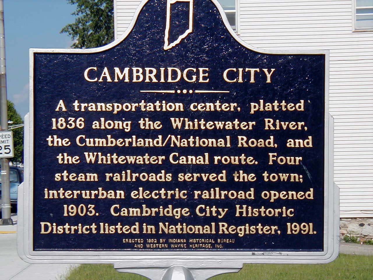
This sign in Cambridge City chronicles the development of transportation and hence of the city itself. Commerce followed the Road, and a city on the routes of other modes of transportation is doubly fortunate--until those modes vanish.
Public Domain. Photo by William Eccles
Download Original (1280 x 960 pixels, 231.5 KB)
-
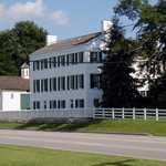
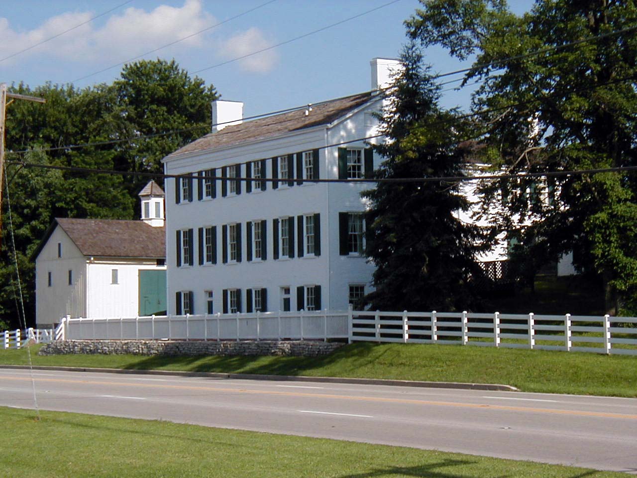
Huddleston Farmhouse on the Road just west of Cambridge City, is a restored inn that was originally part of an operating farm. It has been restored to show a typical inn for tired travelers as well as host to special historical events.
Public Domain. Photo by William Eccles
Download Original (1280 x 960 pixels, 186.2 KB)
-

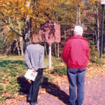
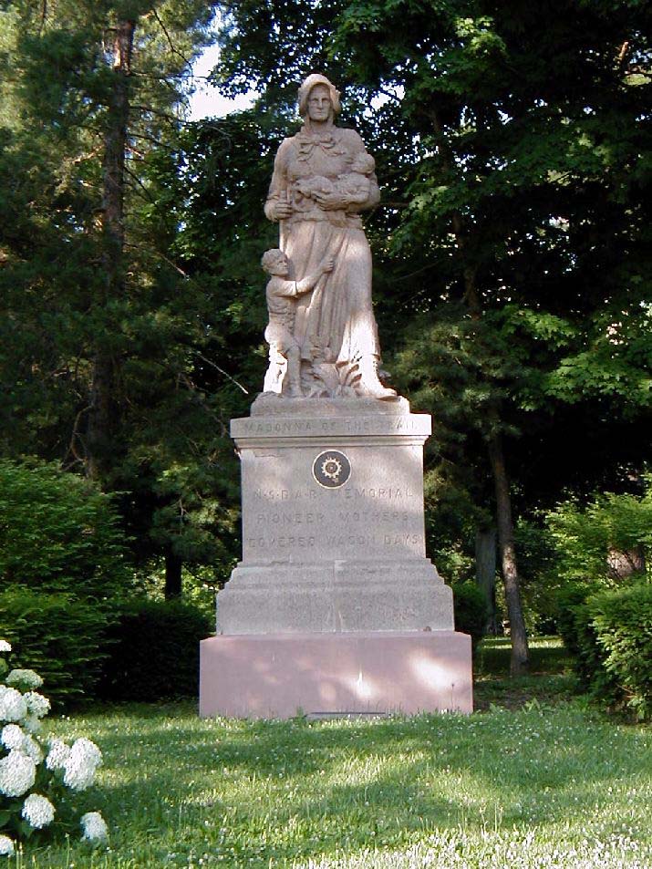
One of these sculptures was placed by the Daughters of the American Revolution in each state along the Old Trails Road, US-40. This one is on the corner of a large park on the east side of Richmond.
Public Domain. Photo by William Eccles
Download Original (715 x 953 pixels, 184.1 KB)
-
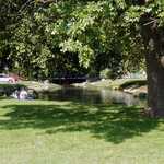
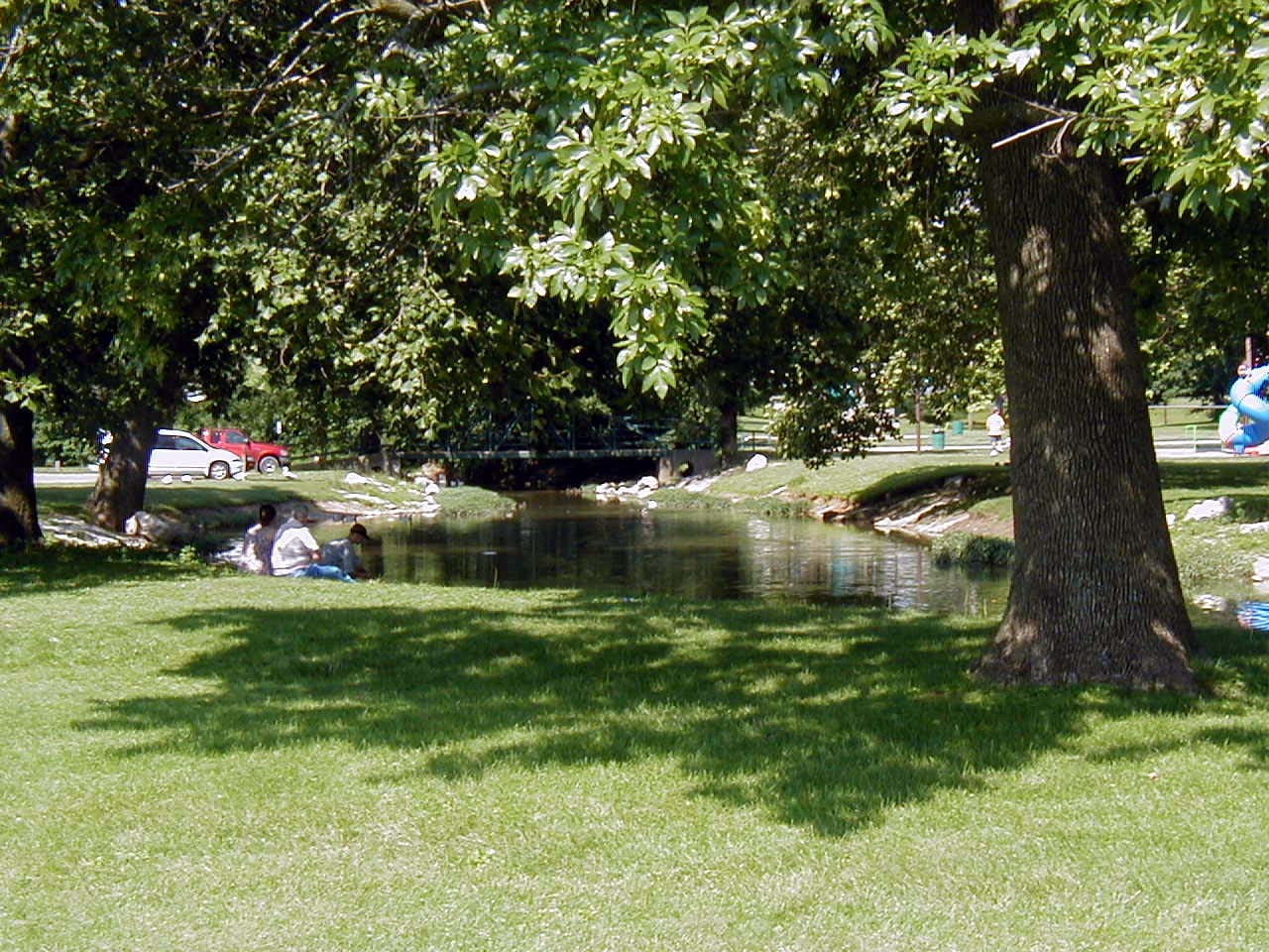
"The Old Swimming Hole" that appears in James Whitcomb Riley's poems is now a large and well-used park on the east side of Greenfield. It is a pleasant stopping place along the Road to play ball, hike, or just sit and relax.
Public Domain. Photo by William Eccles
Download Original (1280 x 960 pixels, 272.7 KB)
-
The Vigo County Courthouse in Terre Haute sits along the Road. At one time, US-40, Wabash Avenue, was along the north side of the building crossing the Wabash on a single bridge. Now the Road is two one-way streets crossing on two bridges.
Public Domain. Photo by William Eccles
Download Original (1280 x 960 pixels, 173.9 KB)
-
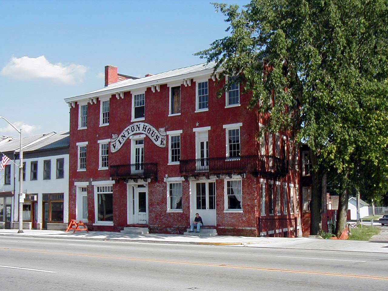
Where there is transportation there are people. Where there are people there are services. One of those along the road was the inns, places for food and rest. Restoration of the Vinton House in Cambridge City started soon after this picture was taken.
Public Domain. Photo by William Eccles
Download Original (1280 x 960 pixels, 204.9 KB)
-
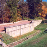
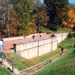
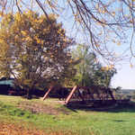
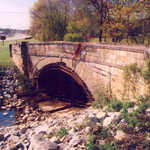
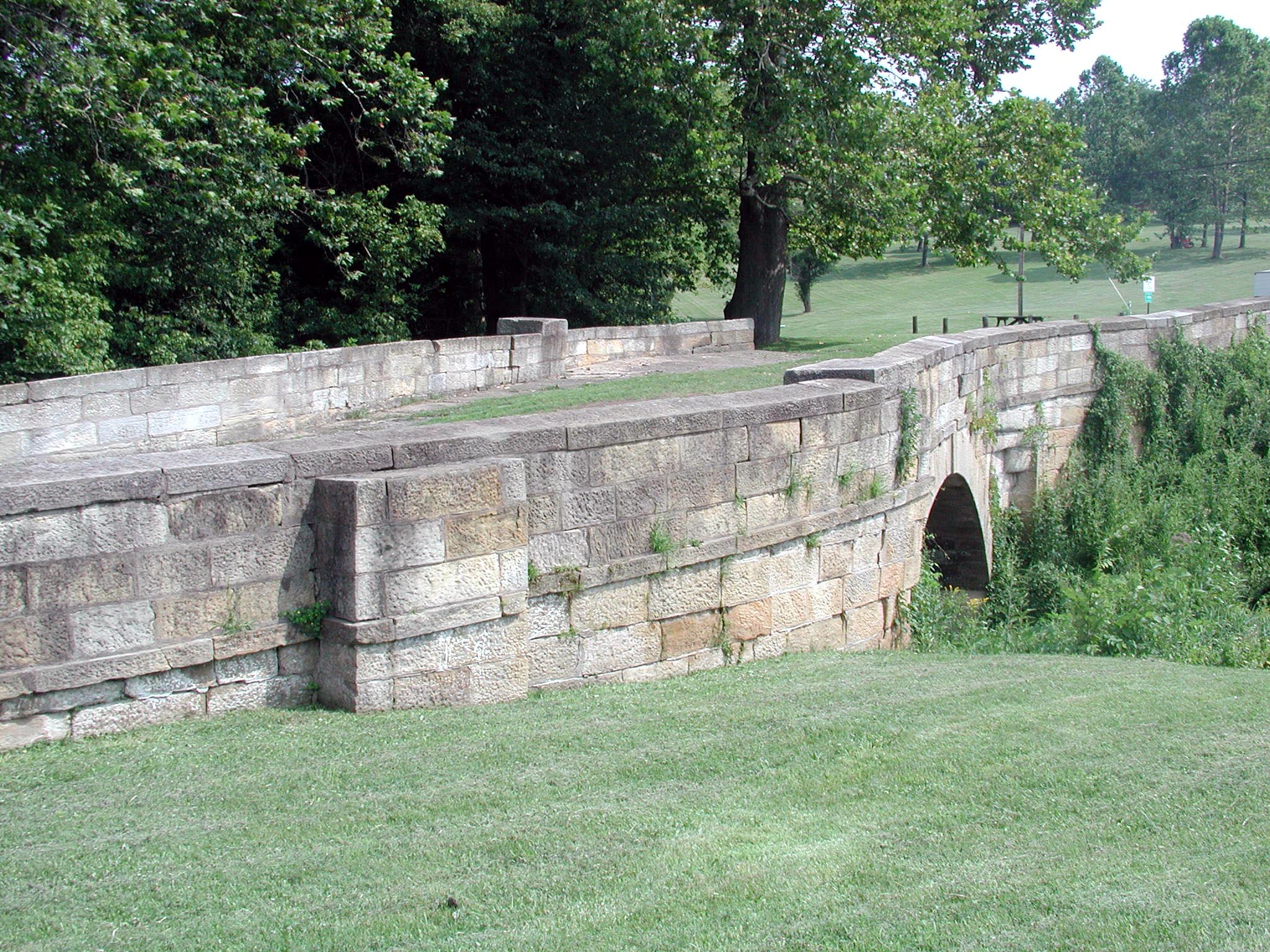
These unusually-shaped bridges were originally constructed to allow stagecoaches to pass each other.
© June 2004 Leslie K. Dellovade.
Download Original (2048 x 1536 pixels, 718.2 KB)
-
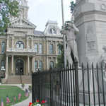
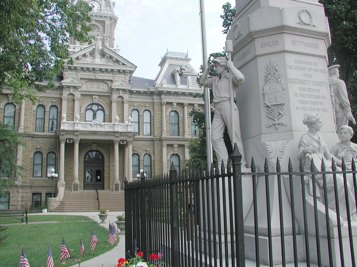
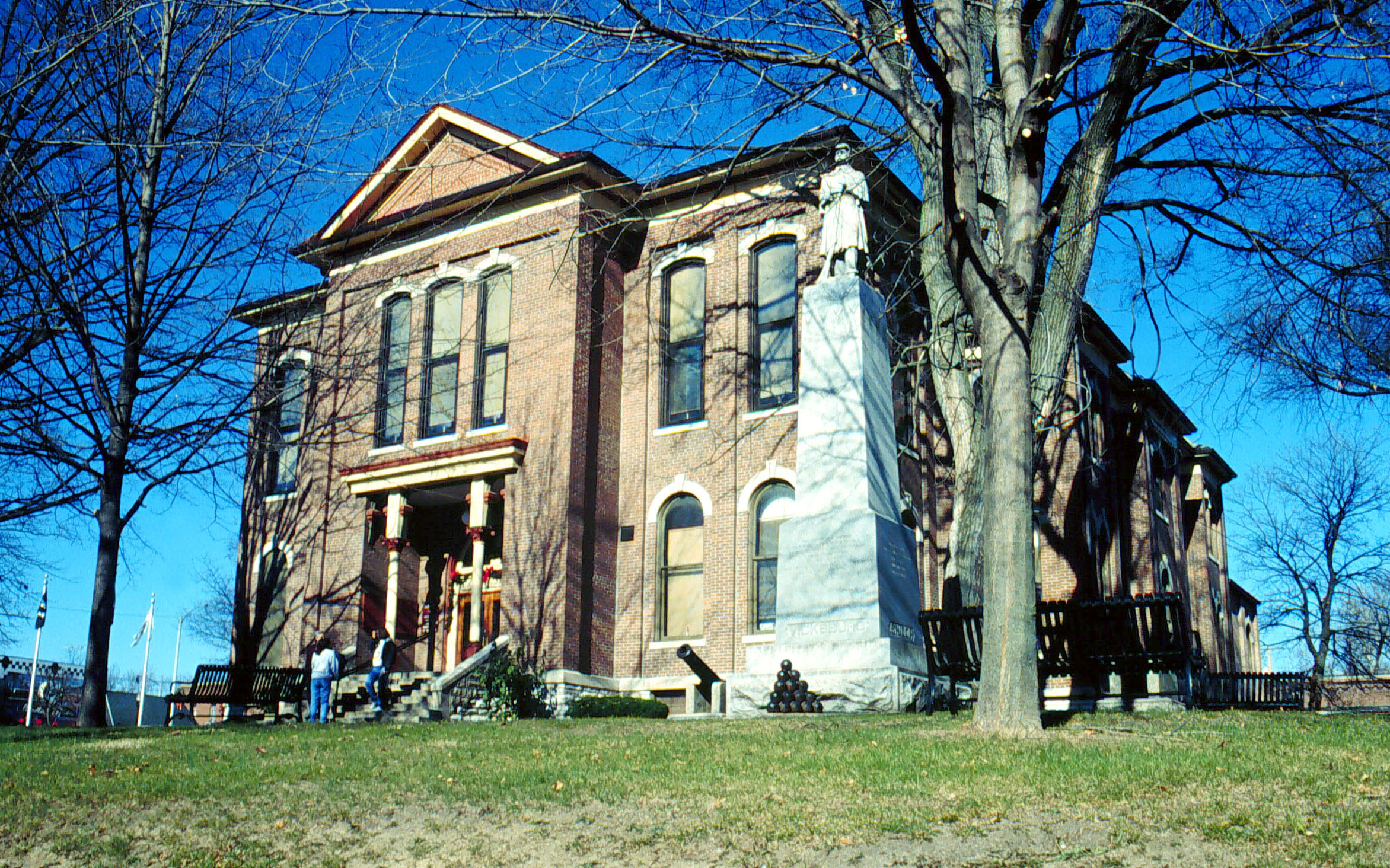
A war memorial stands outside the Guernsey County Courthouse. American flags line the entrance pathway.
© June 2004 Leslie K. Dellovade.
Download Original (1200 x 900 pixels, 400.9 KB)
-
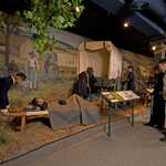
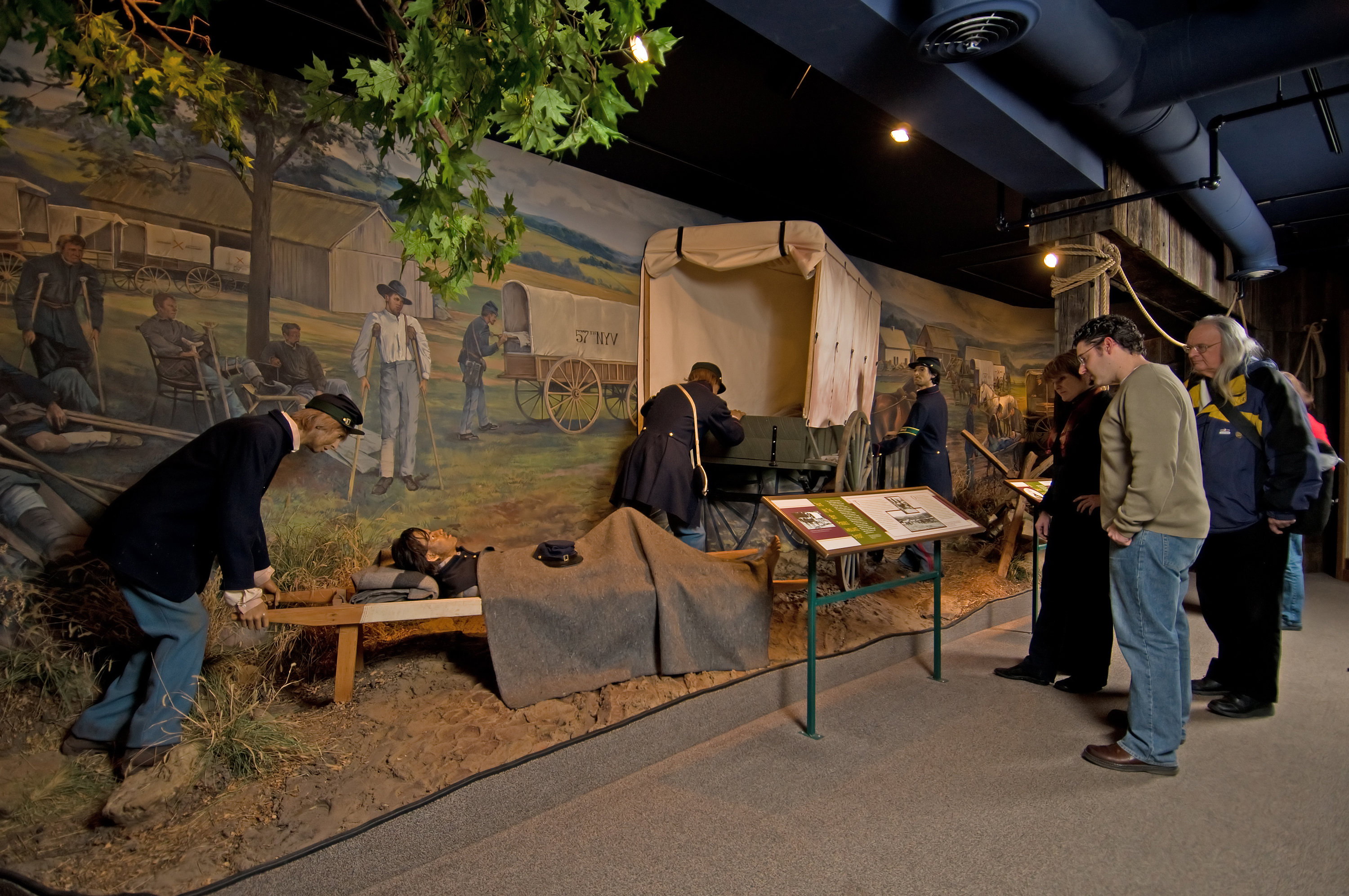
Museum visitors read a plaque before a life-size display of Civil War soldiers treating their injured.
Public Domain. Tourism Council of Frederick County
Download Original (3000 x 1993 pixels, 3941.1 MB)
-
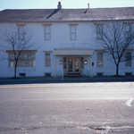
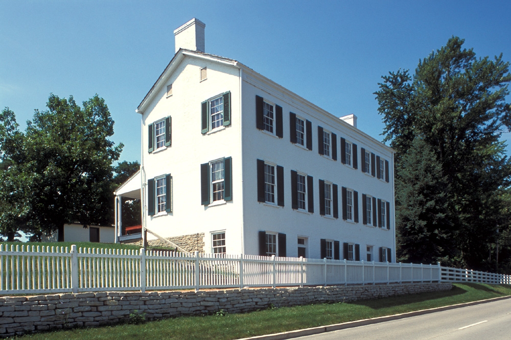
The three story, white farm house stands behind a white picket fence on the Historic National Road.
Public Domain. Historic Landmarks Foundation of Indiana
Download Original (1000 x 666 pixels, 526.8 KB)
-
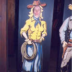
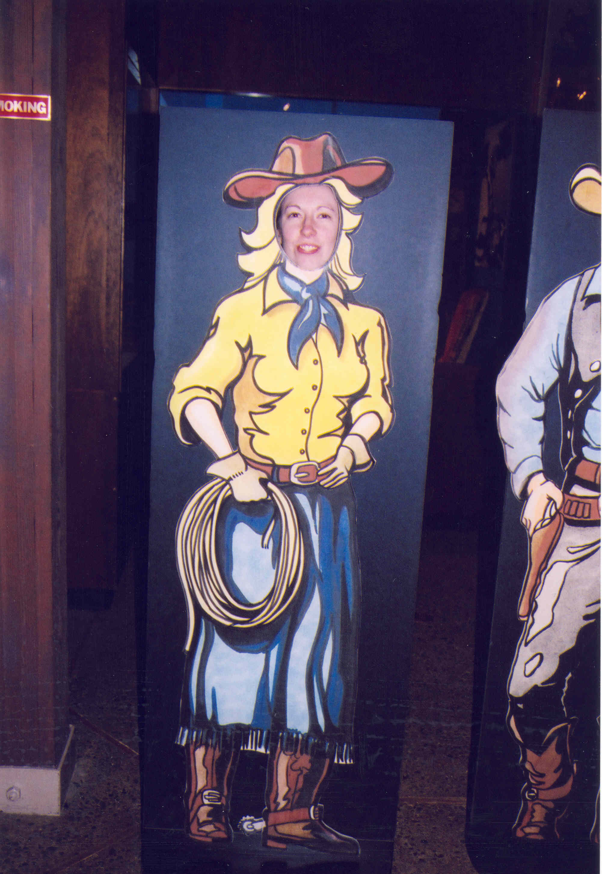
"Cowgirl up!" says Bethany as she becomes blond-haired Calamity Jane of the wild West at a display in the Zane Grey Museum in Zanesville.
Public Domain. Photo by A. E. Crane
Download Original (2002 x 2907 pixels, 355.7 KB)
-
It's a sunny fall day at the Zane Grey Museum in Zanesville, Ohio.
Public Domain. Photo by A. E. Crane
Download Original (2940 x 1886 pixels, 1568.6 MB)
-
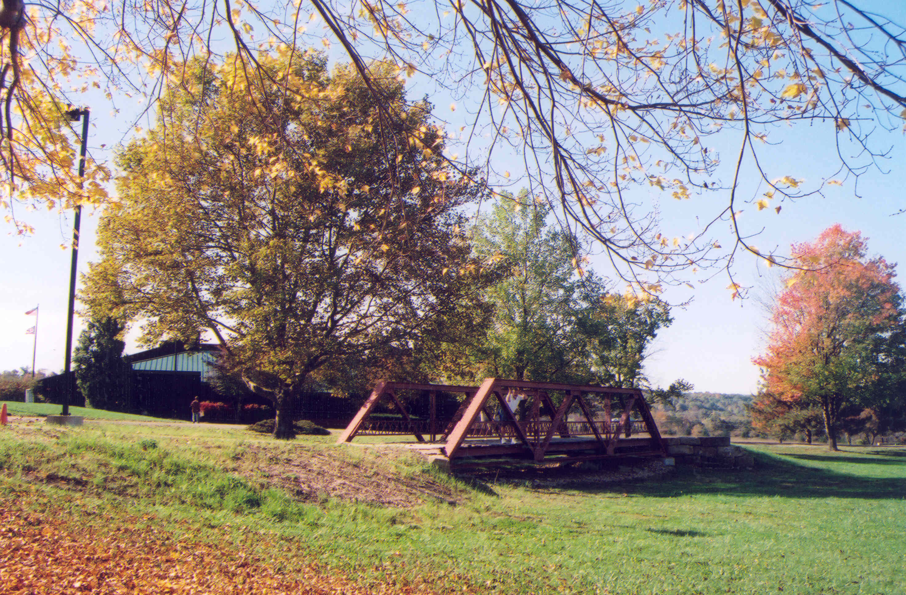
A fall tree conceals the Zane Grey Museum in the background. In the foreground is a small, charming bridge.
Public Domain. Photo by A. E. Crane
Download Original (2942 x 1934 pixels, 2606.4 MB)
-
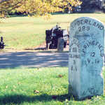
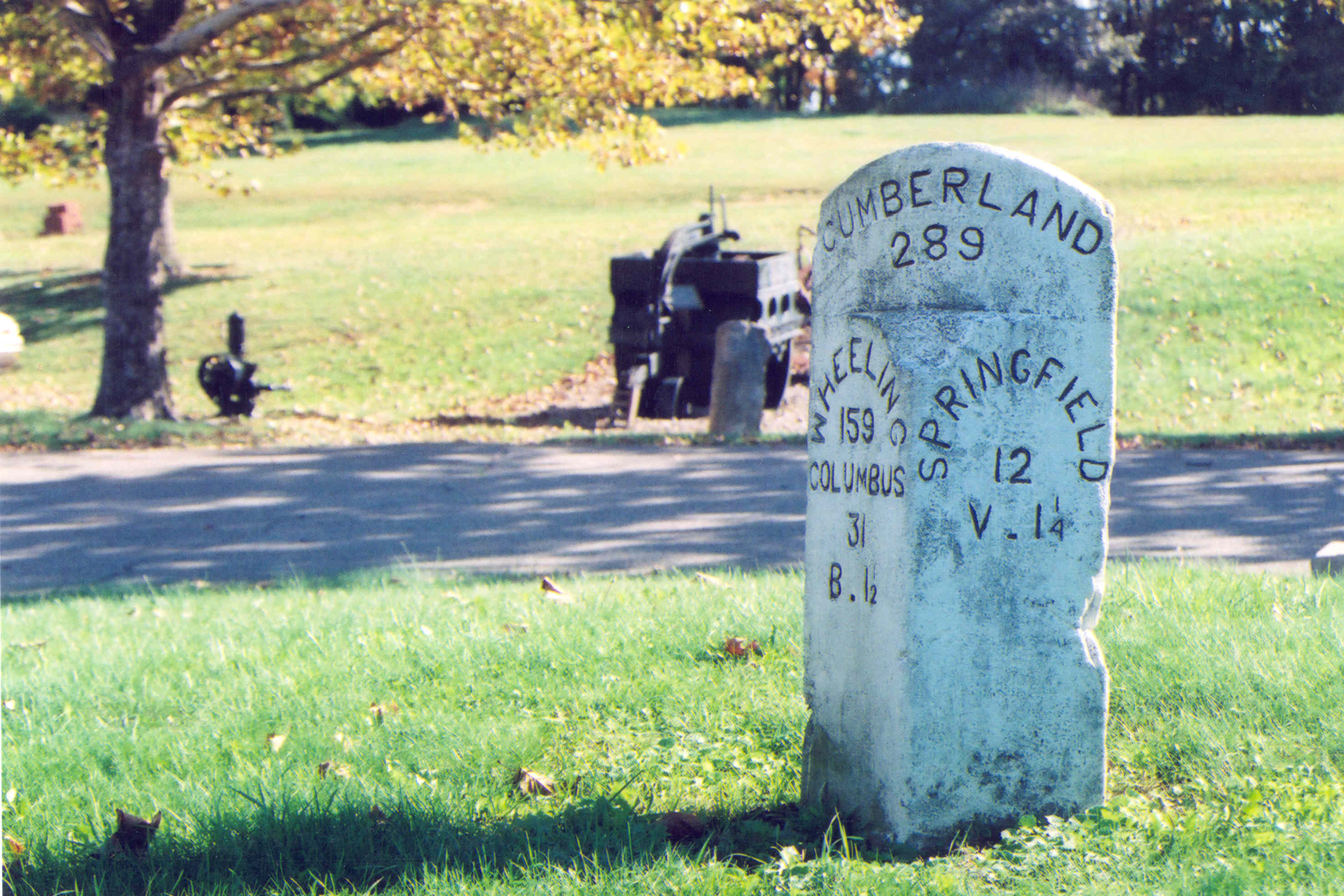
This is an intact, original milepost marker, just outside the Zane Grey Museum in Zanesville, Ohio.
Public Domain. Photo by A. E. Crane
Download Original (2953 x 1969 pixels, 1969.3 MB)
-
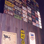
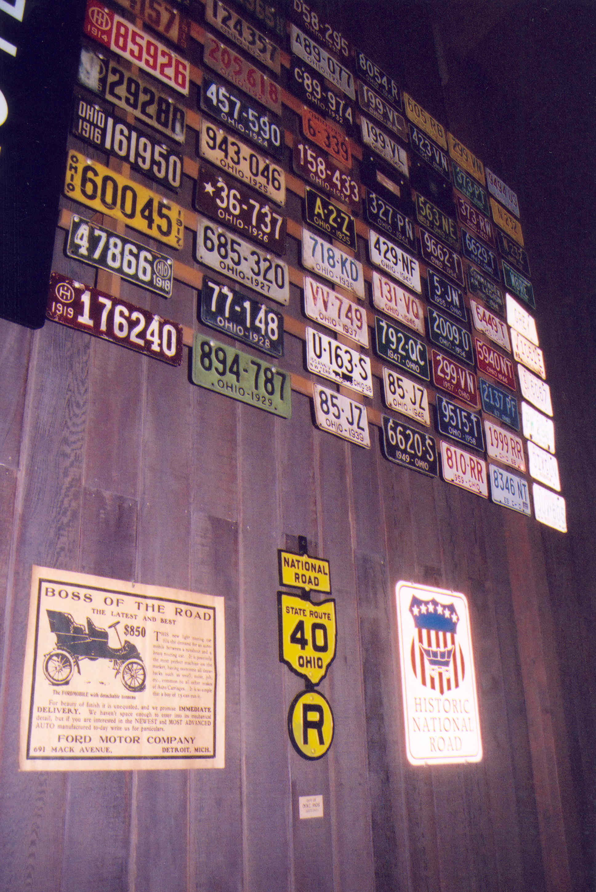
Old license plates decorate this wall of the Zane Grey Museum in Zanesville.
Public Domain. Photo by A. E. Crane
Download Original (1936 x 2898 pixels, 1765.0 MB)
-
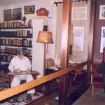
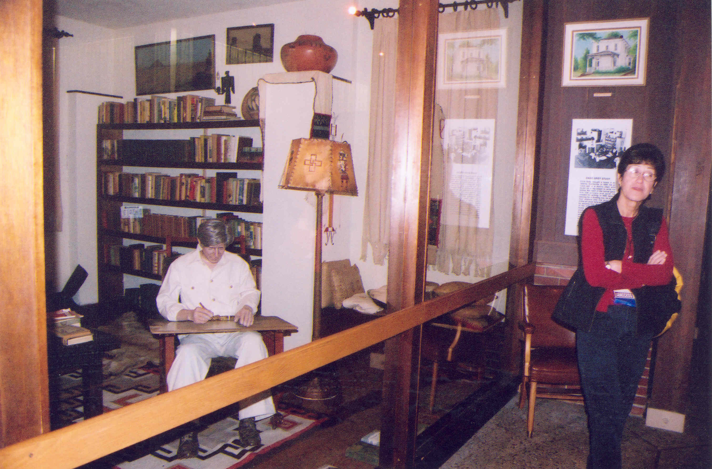
A woman considers this display of Zane Grey in his study at the Zane Grey Museum just outside of Zanesville.
Public Domain. Photo by A. E. Crane
Download Original (2989 x 1969 pixels, 1719.7 MB)
-
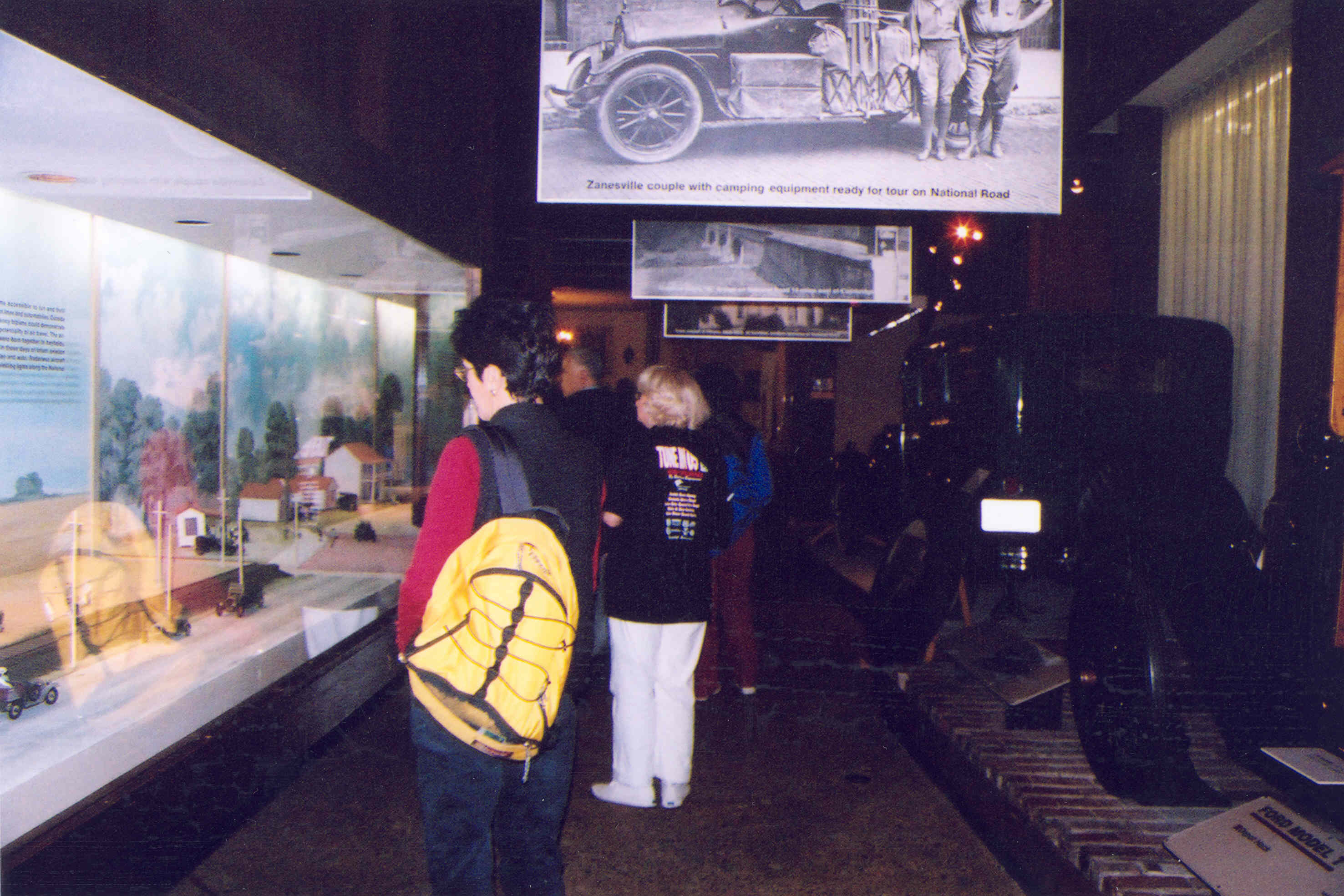
A woman in the Zane Grey Museum examines the dioramas which detail the building of the Historic National Road through the years.
Public Domain. Photo by A. E. Crane
Download Original (2953 x 1969 pixels, 1568.2 MB)
-
The many levels of Fallingwater are seen through trees that make up the surrounding landscape.
Public Domain. Photo by Dennis Adams
Download Original (512 x 768 pixels, 445.9 KB)
-
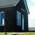
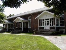
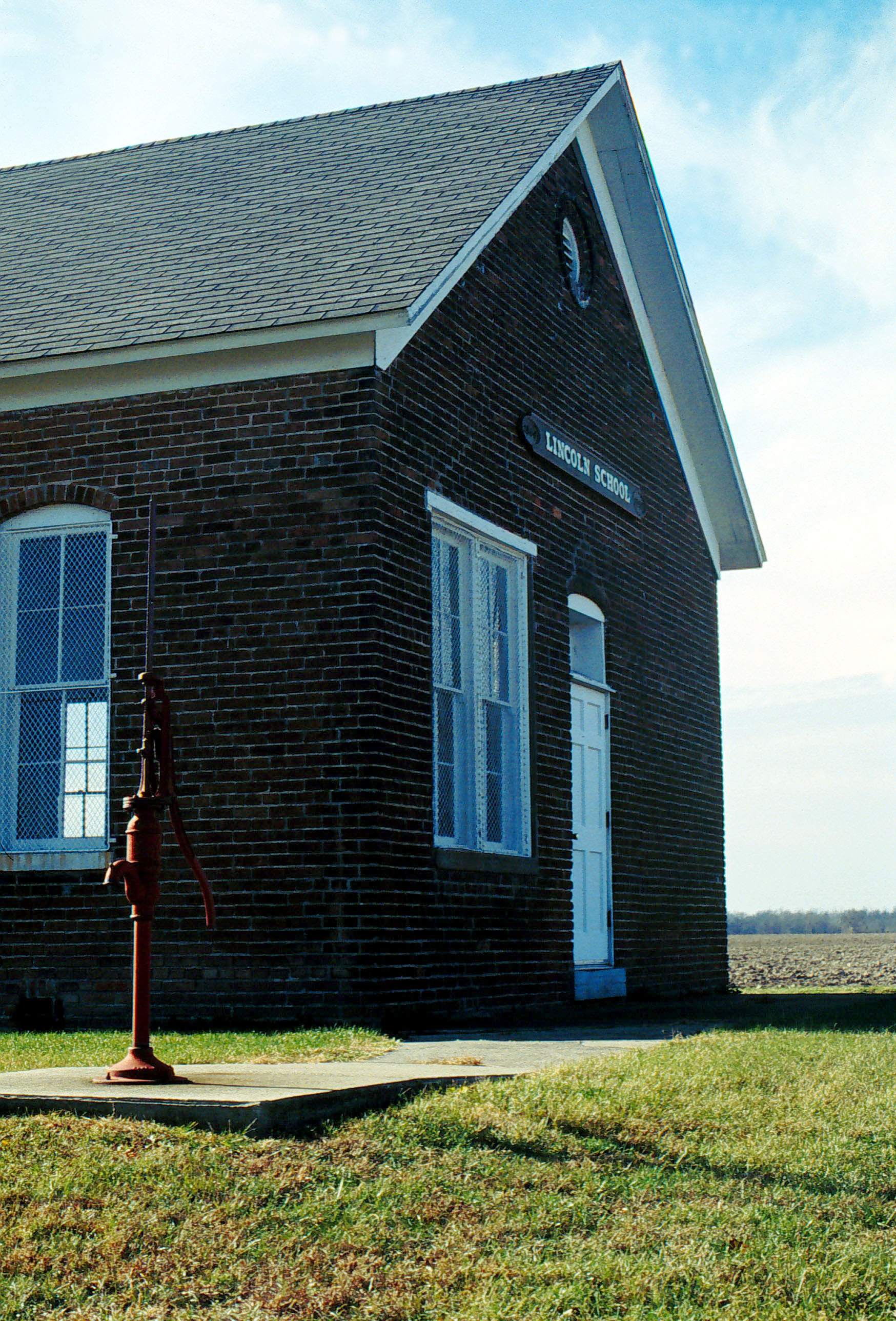
The dark brick, one-room school house stands on a large lawns with a red hand pump to the side.
Public Domain. Lyle Kruger
Download Original (1748 x 2576 pixels, 962.9 KB)
-
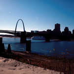
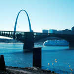
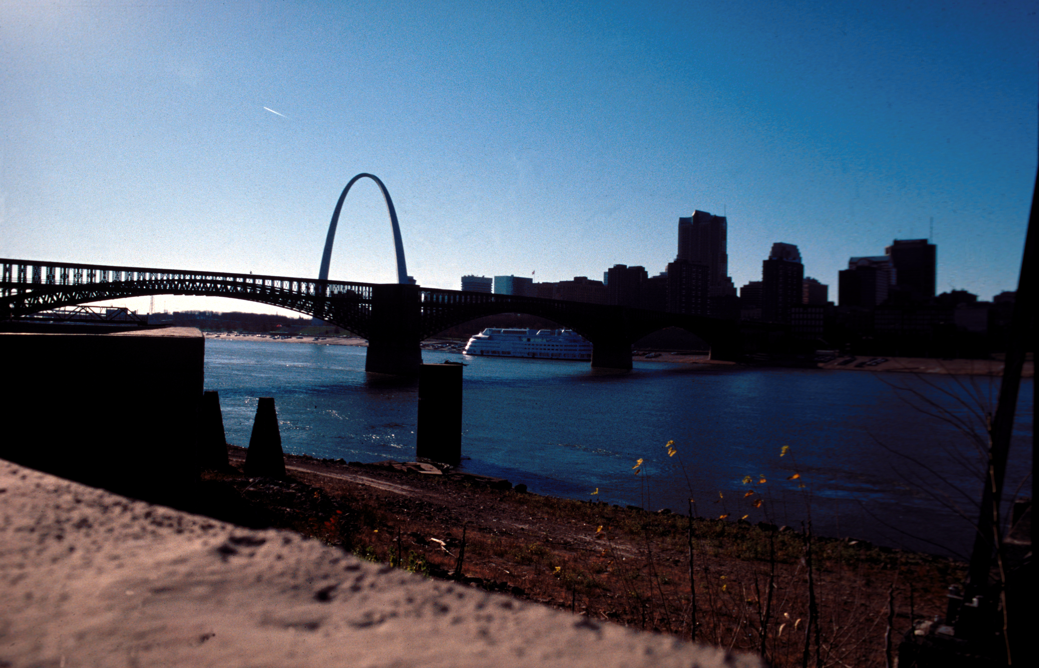
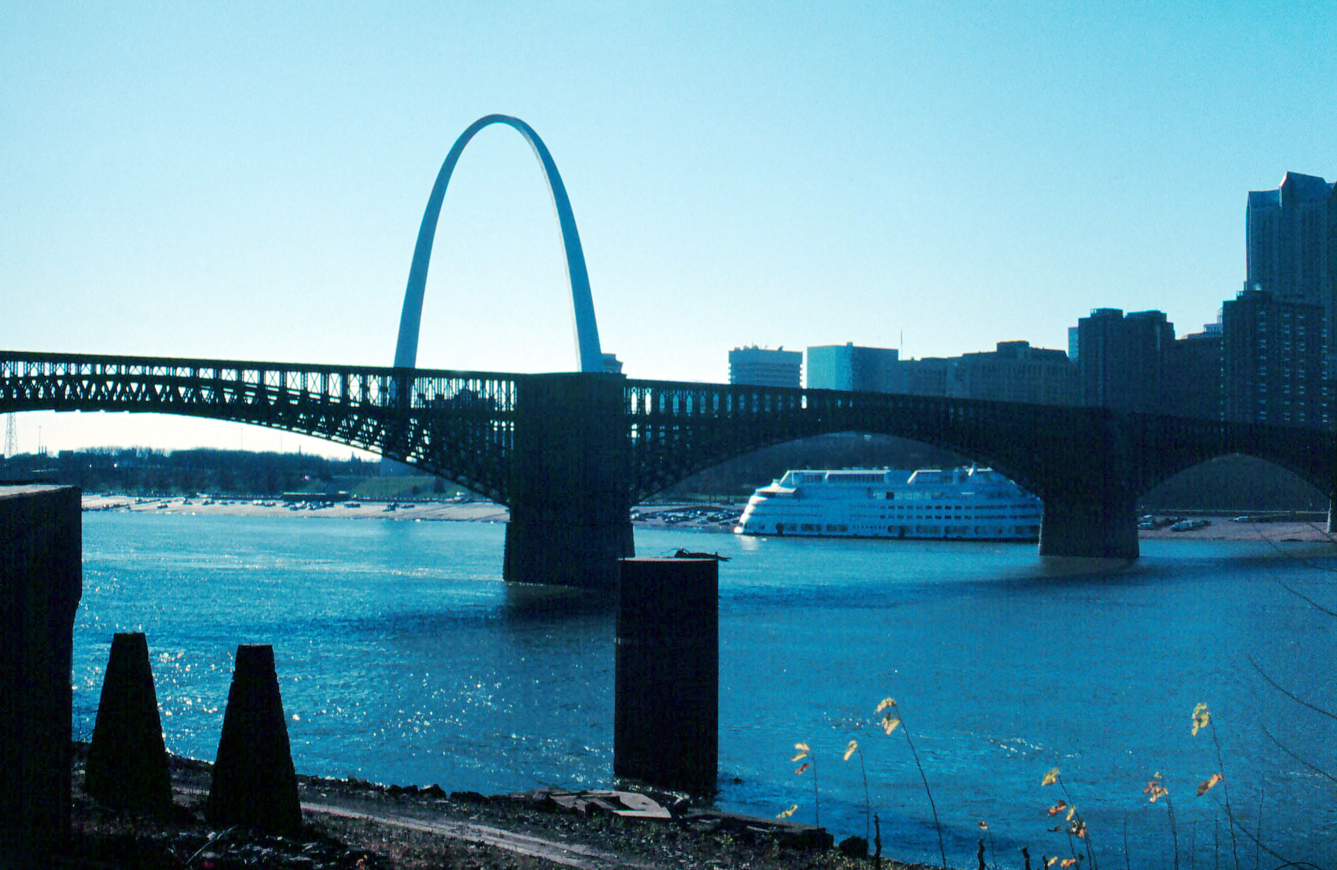
The Eads Bridge, dark against the bright sky, spans the Mississippi River.
Public Domain. Lyle Kruger
Download Original (3536 x 2273 pixels, 6450.3 MB)
-
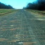
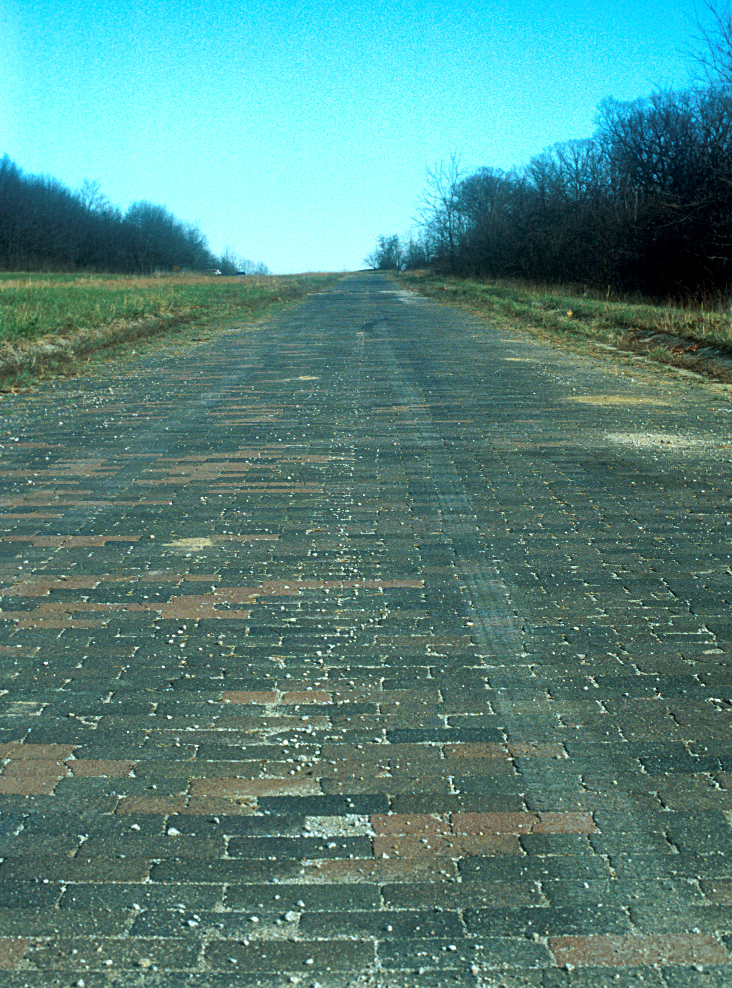
A section of the road with its original paving bricks stretches out to the horizon.
Public Domain. Photo by Lyle Kruger
Download Original (2429 x 3277 pixels, 1684.2 MB)
-
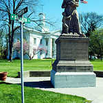
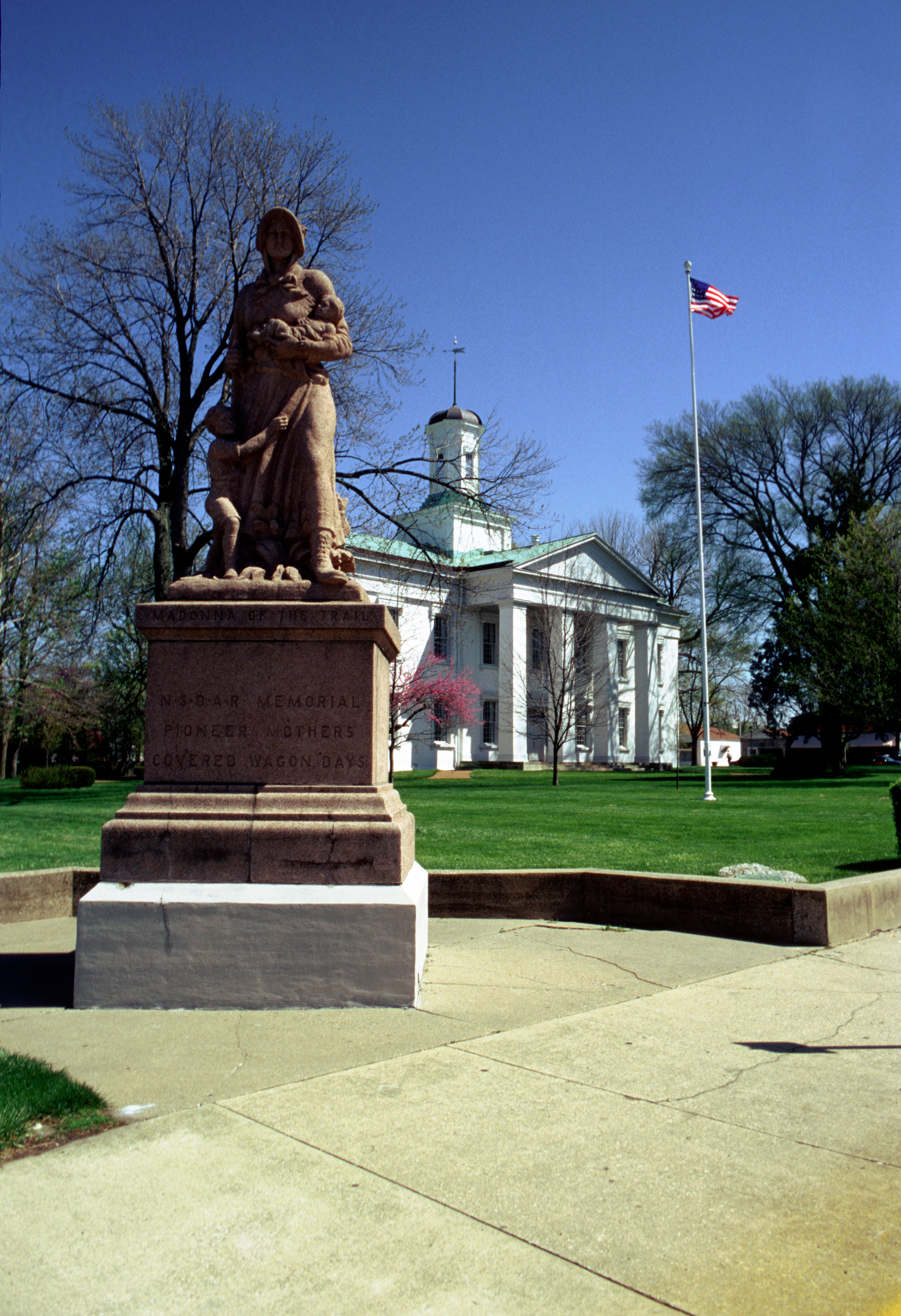
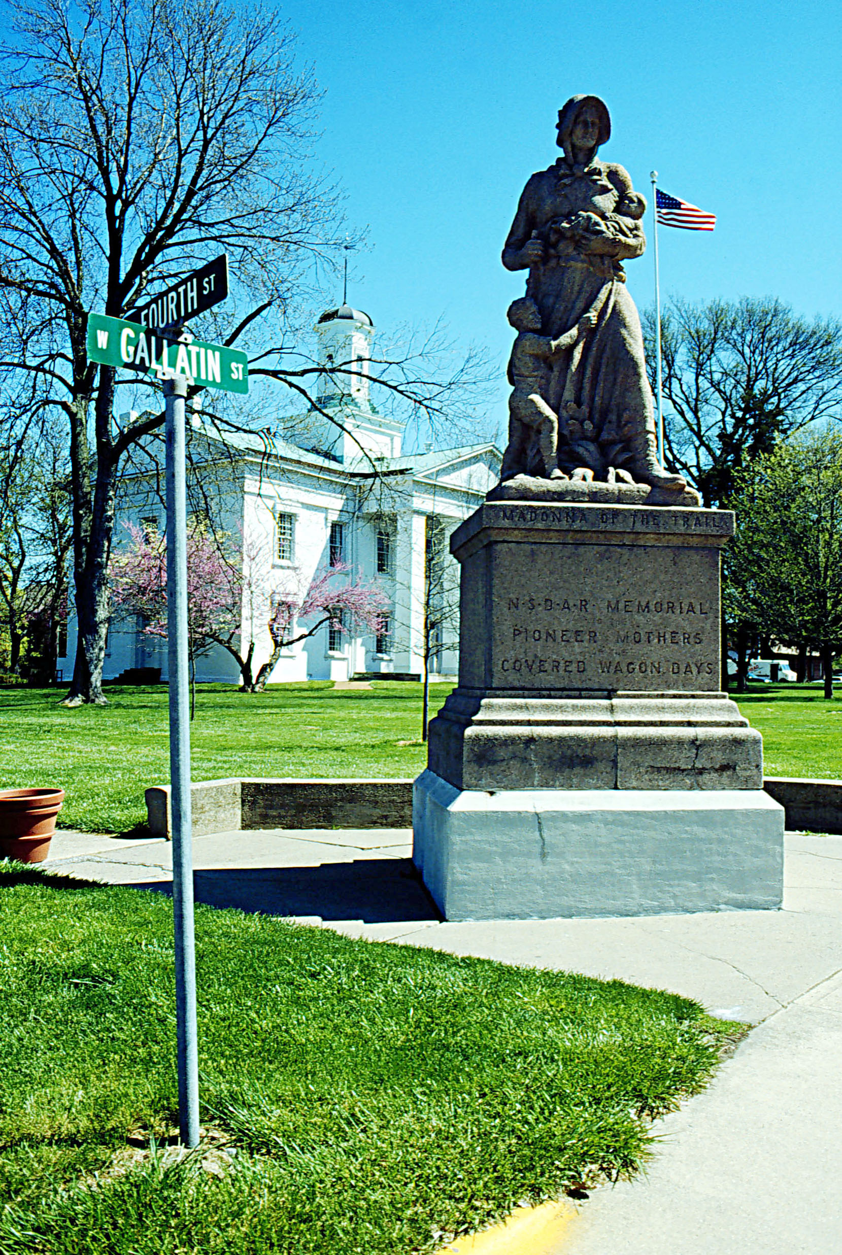
The pure white Statehouse sits in the middle of a green lawn surrounded by budding trees. The Madonna of the Trail stands before it.
Public Domain. Photo by Lyle Kruger
Download Original (1659 x 2473 pixels, 1279.5 MB)
-
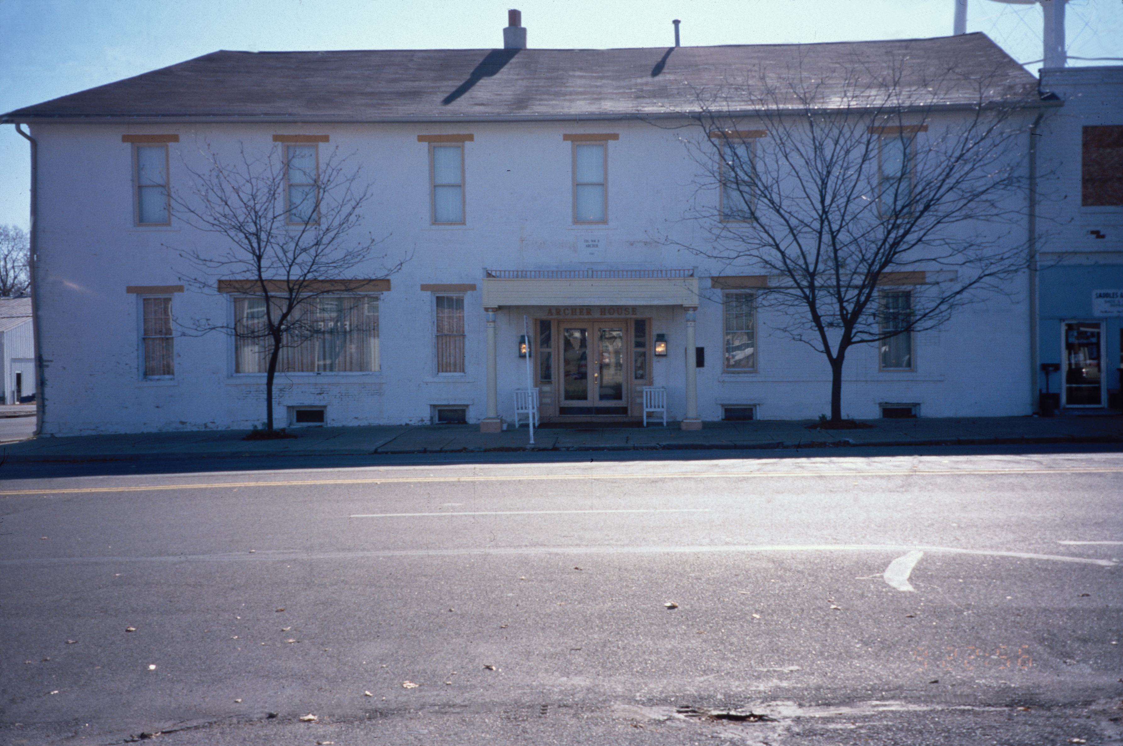
The Archer House with its white washed brick, sits on the side of the road. Two trees, ready for winter, decorate the front.
Public Domain. Gerald Roll
Download Original (3572 x 2371 pixels, 7282.8 MB)
-
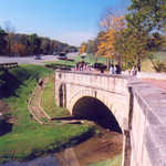
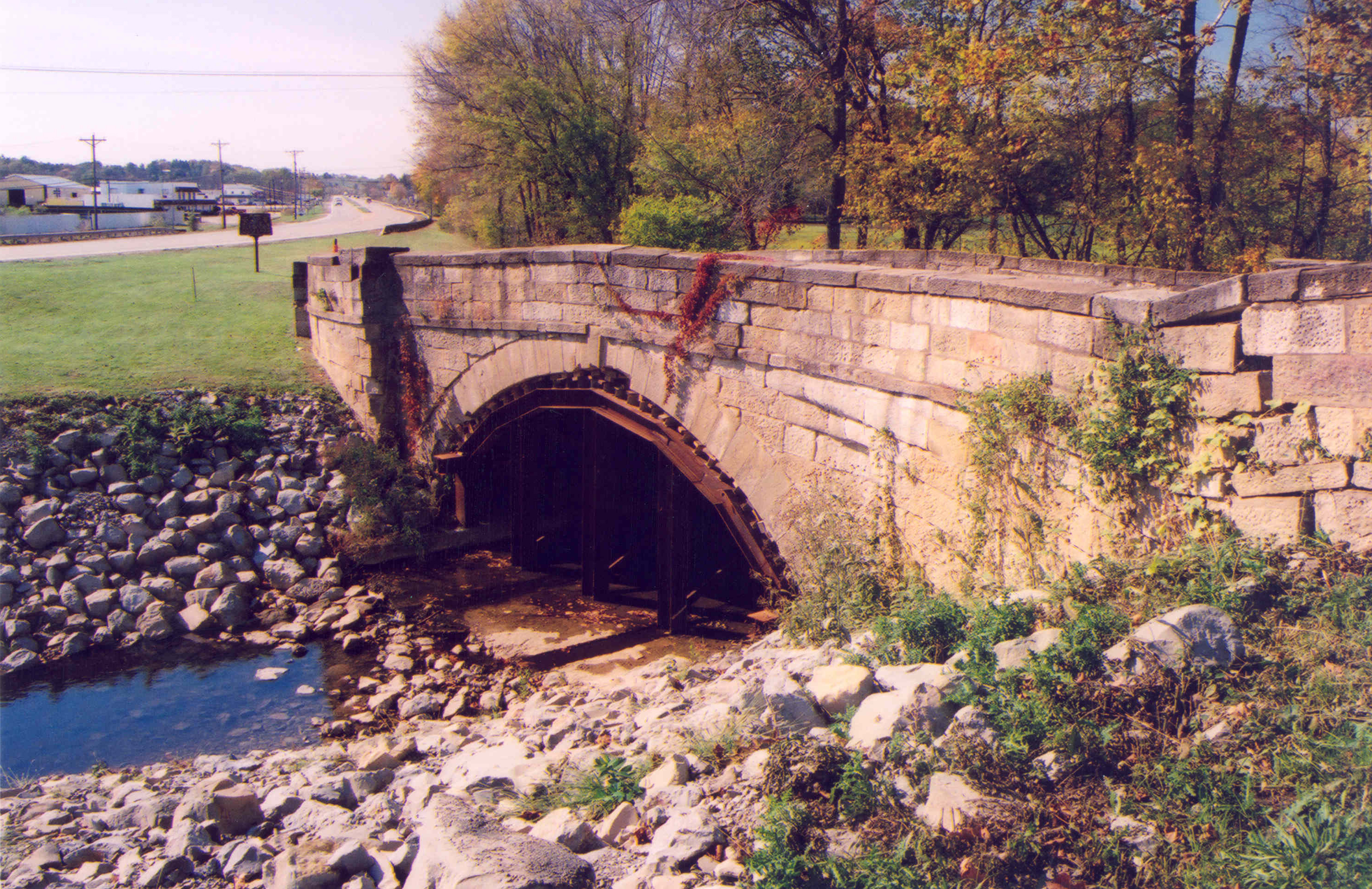
This is a view of the Peters Creek S-Bridge in October 2005. Note the flood damage as well as temporary stabilizing beams, below the arch of the original stone bridge.
Public Domain. Photo by A. E. Crane
Download Original (2972 x 1927 pixels, 6069.9 MB)
-
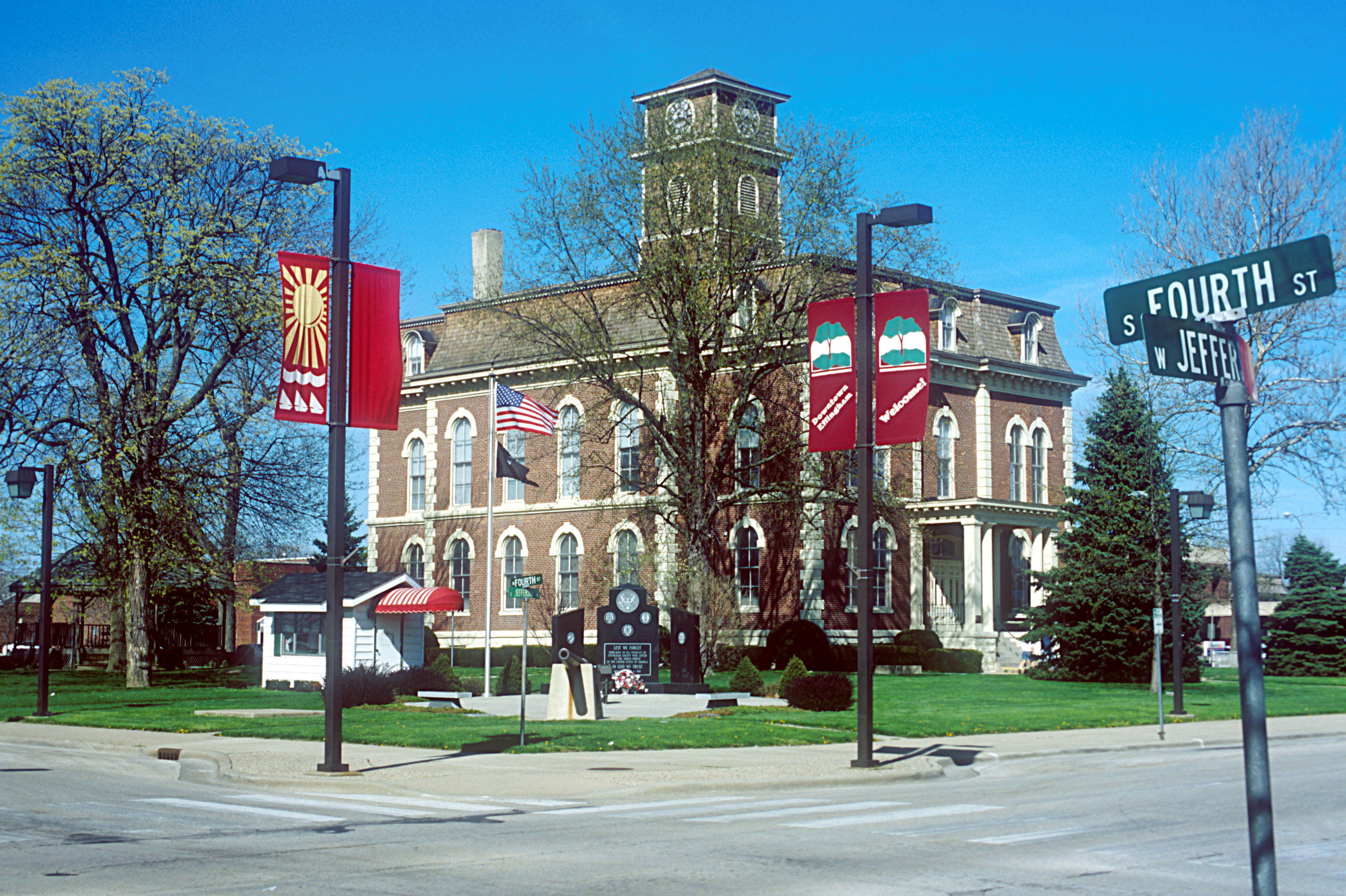
The 19th century Courthouse stands on the corner of the banner covered Fourth and Jefferson. The bright green lawn supports trees and a monument to Lord Effingham.
Public Domain. Lyle Kruger
Download Original (3579 x 2383 pixels, 1771.8 MB)
-

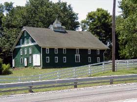
The Hunts' barn was at one time the home of 10,000 chickens.
Public Domain. Photo by William Eccles
Download Original (280 x 210 pixels, 35.4 KB)
-
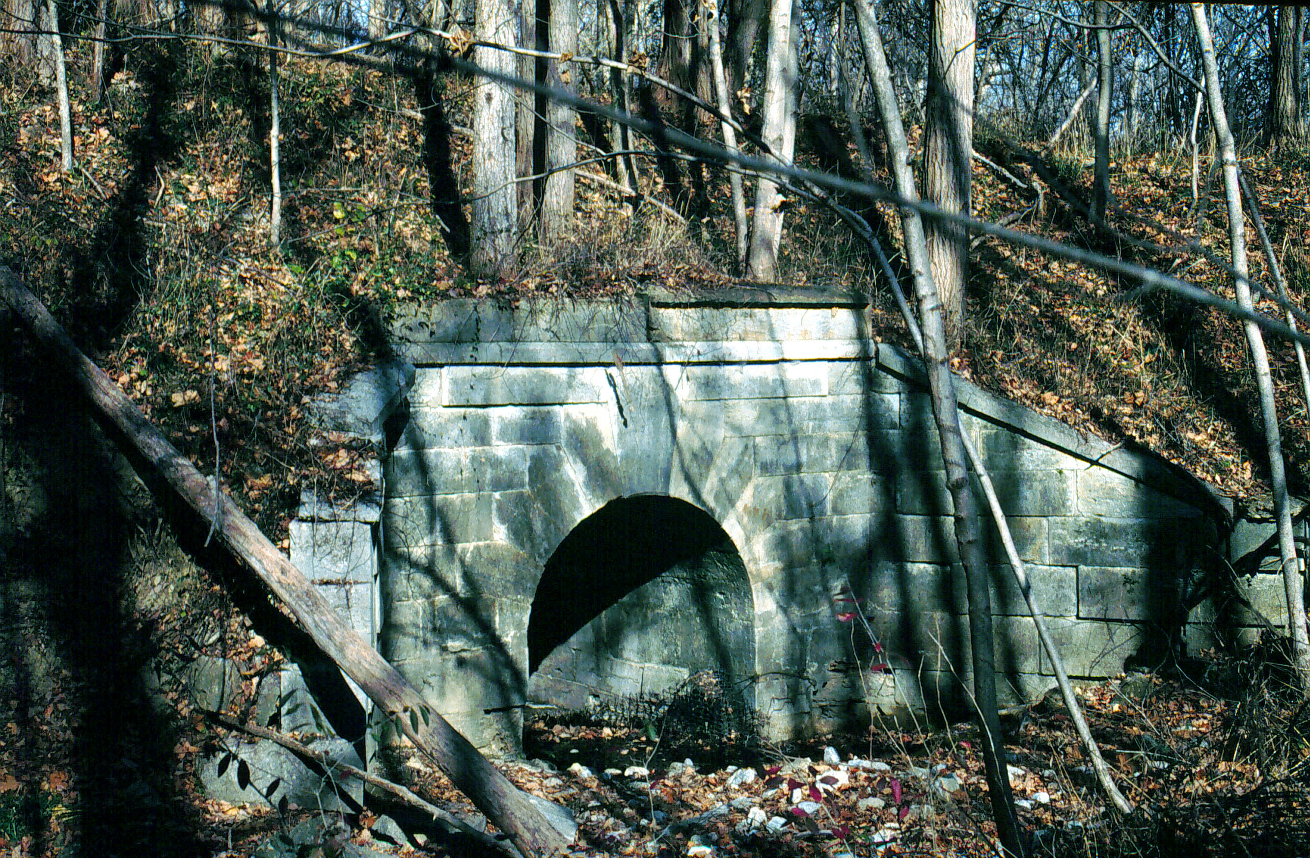
Tall trees have dropped their autumn leaves across an abandoned stretch of the Old National Road. A keystone arch marks where travelers once passed.
Public Domain. Lyle Kruger
Download Original (2668 x 1748 pixels, 1465.4 MB)
-

The Eads Bridge spans darkly across the shimmering blue waters of the Mississippi River. Across the river several buildings and the Gateway to the West Monument reach up to clear skys.
Public Domain. Photo by Lyle Kruger
Download Original (2657 x 1729 pixels, 643.4 KB)
-
Bond County Soldiers and Sailors Monument stands in front of the Bond County Courthouse in Greenville, Illinois. Trees and benches make the surrounding lawn inviting to visitors.
Public Domain. Lyle Kruger
Download Original (2344 x 1464 pixels, 1044.5 MB)
-
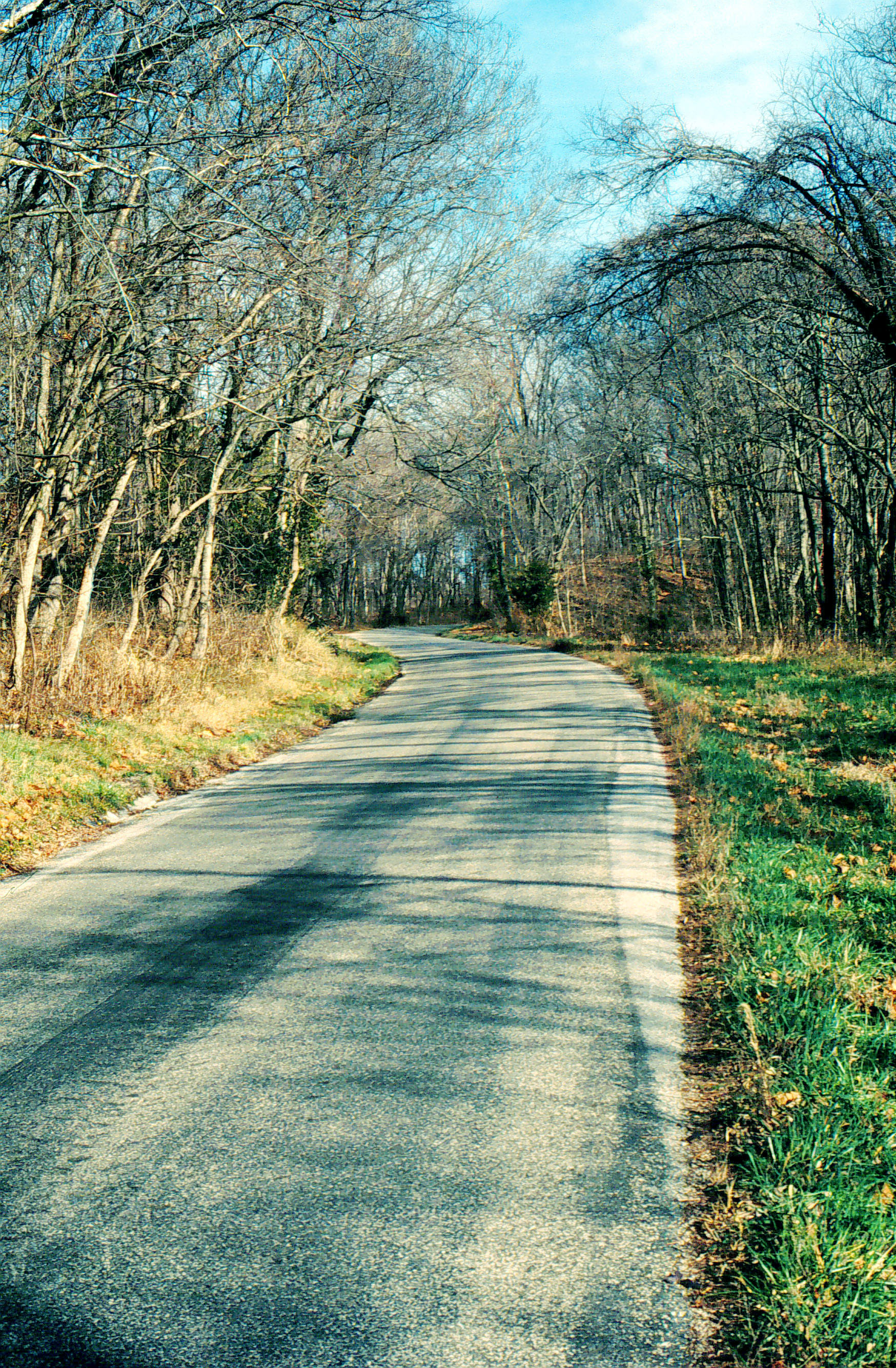
A bit of the original Historic National Road bends around bare trees, redding themselves for winter.
Public Domain. Lyle Kruger
Download Original (1748 x 2668 pixels, 1763.2 MB)
-

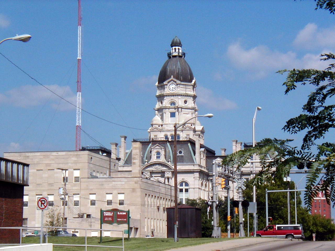
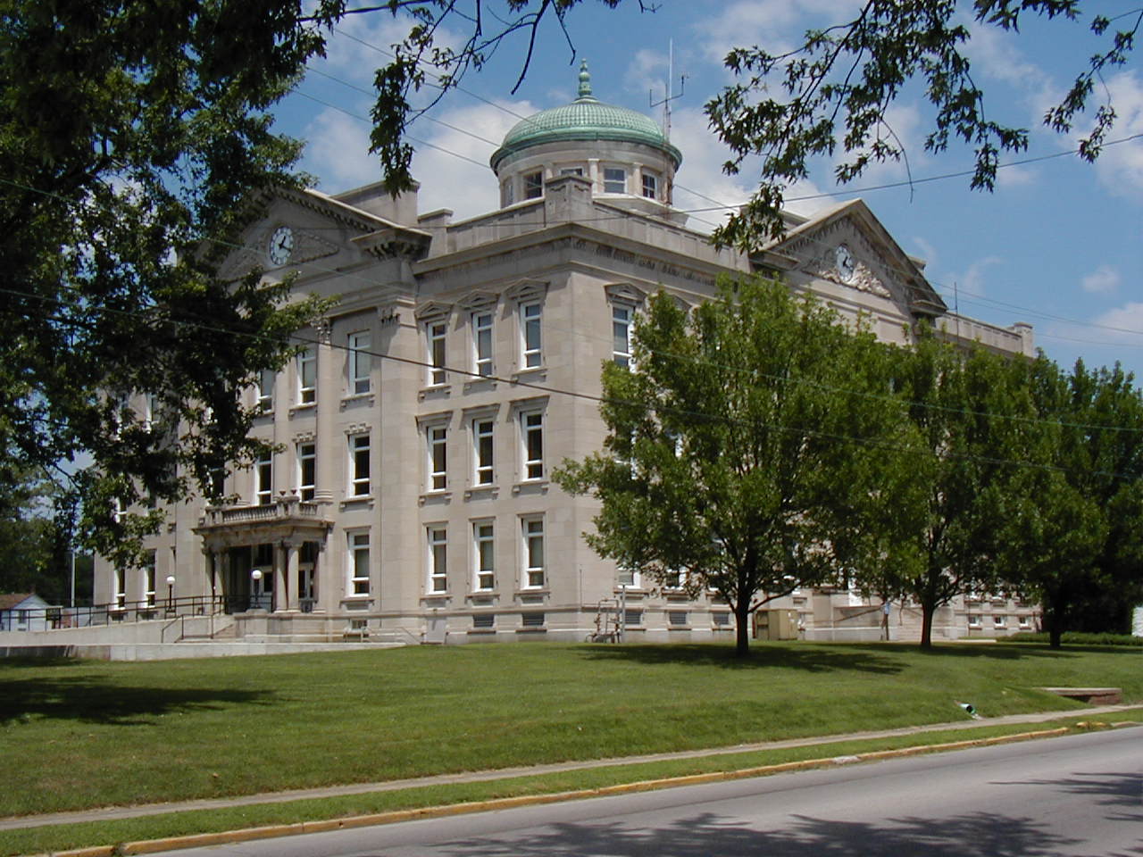
The stone Courthouse has an ornamental bronze cap on the top.
Public Domain. Photo by William Eccles
Download Original (1280 x 960 pixels, 201.4 KB)
-
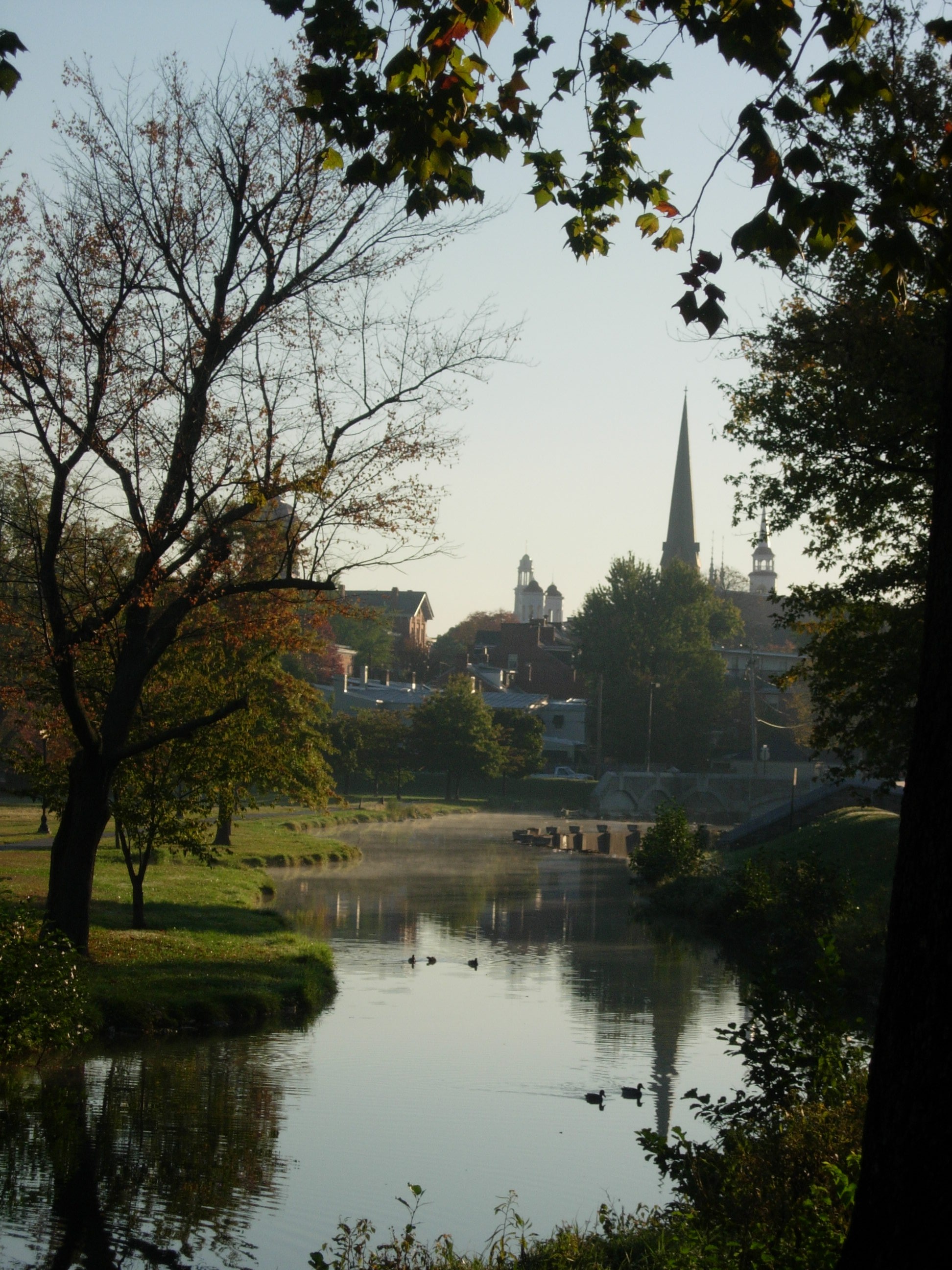
Framed by autumnal trees and the glassy waterway of Baker Park, Fredrick's clustered spires dominate the skyline.
Public Domain. Tourism Council of Frederick County
Download Original (1944 x 2592 pixels, 1038.9 MB)
-

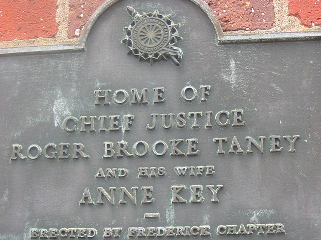
The name plate on the outside of the red brick Roger Brooke Taney House shares information about Chief Justice Taney and his wife Anne Keys.
 © 2007 Joe Polman.
Download Original (640 x 480 pixels, 130.0 KB)