
Newfound Gap Road Byway
All Photos (49)
-

Public Domain.
Download Original (4032 x 3024 pixels, 3236.5 MB)
-

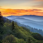
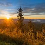
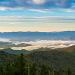
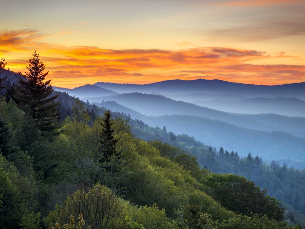
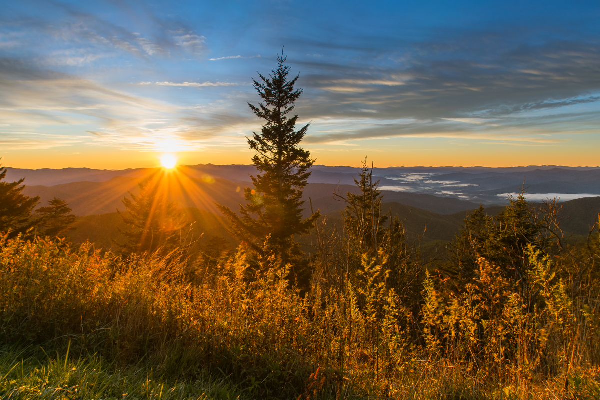
Sunset View toward the mountain ridge at Newfound Gap Overlook.
Public Domain. Unknown
Download Original (1024 x 768 pixels, 156.7 KB)
-
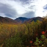
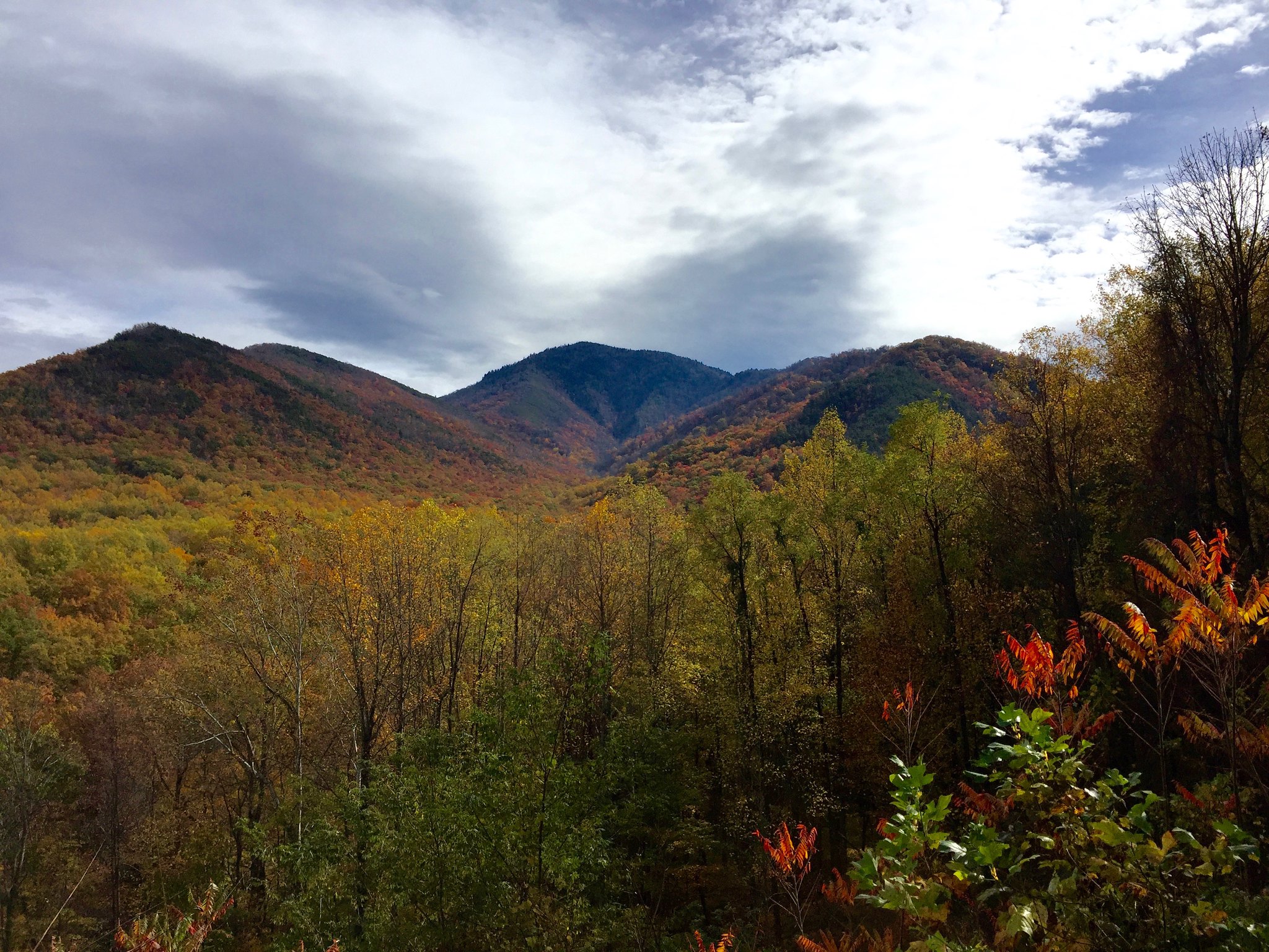
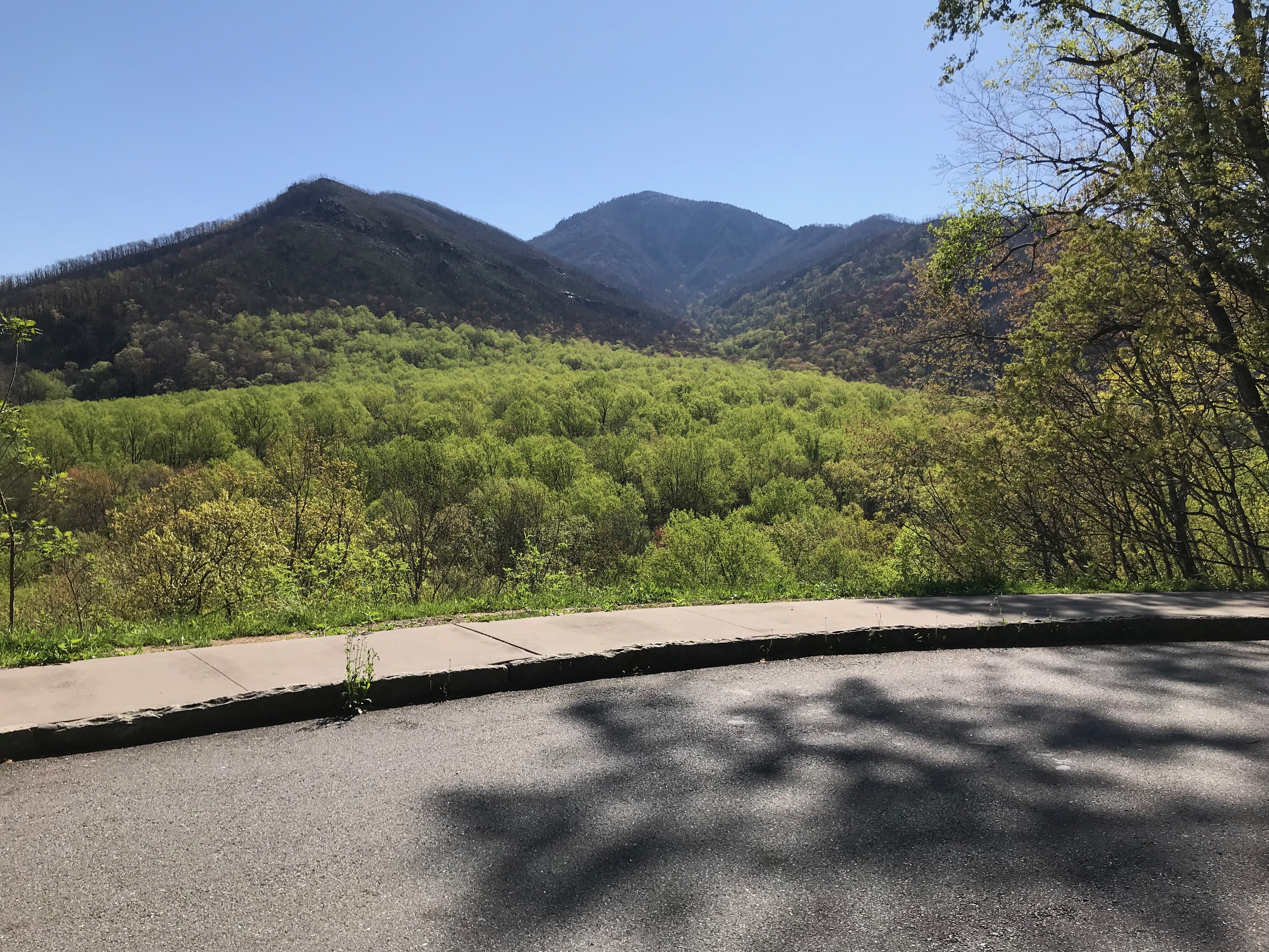
View of the ridge line from the Campbell Overlook Parking Area. The foliage is beginning to show fall color.
Public Domain. Jmar G
Download Original (2048 x 1536 pixels, 794.2 KB)
-

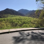
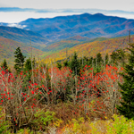
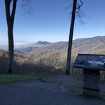
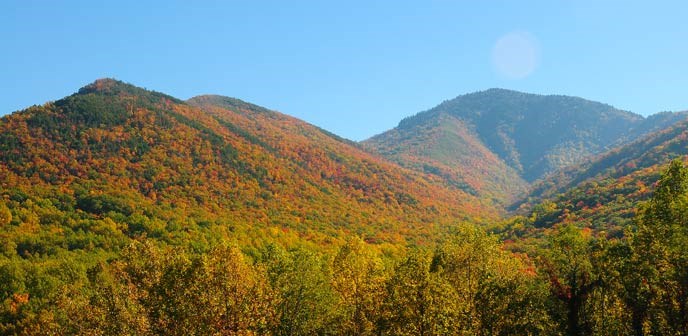
View from the Campbell Overlook Parking Area toward the mountains, during the fall season.
Public Domain. National Park Service
Download Original (688 x 336 pixels, 70.7 KB)
-
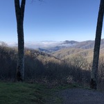
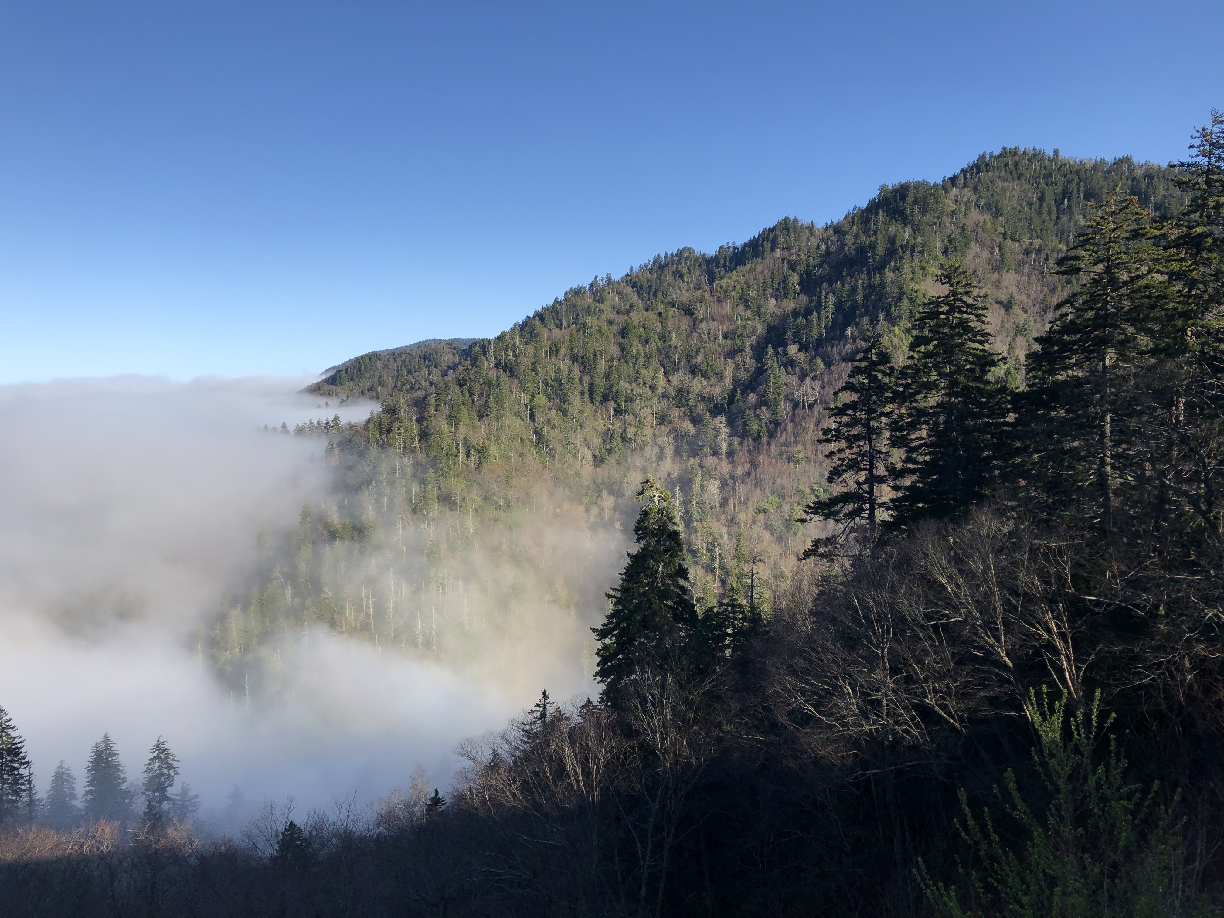
View from the Campbell Overlook Parking Area, across the valley, toward the mountains.
Public Domain. National Park Service
Download Original (4032 x 3024 pixels, 4497.3 MB)
-
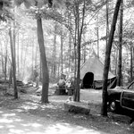
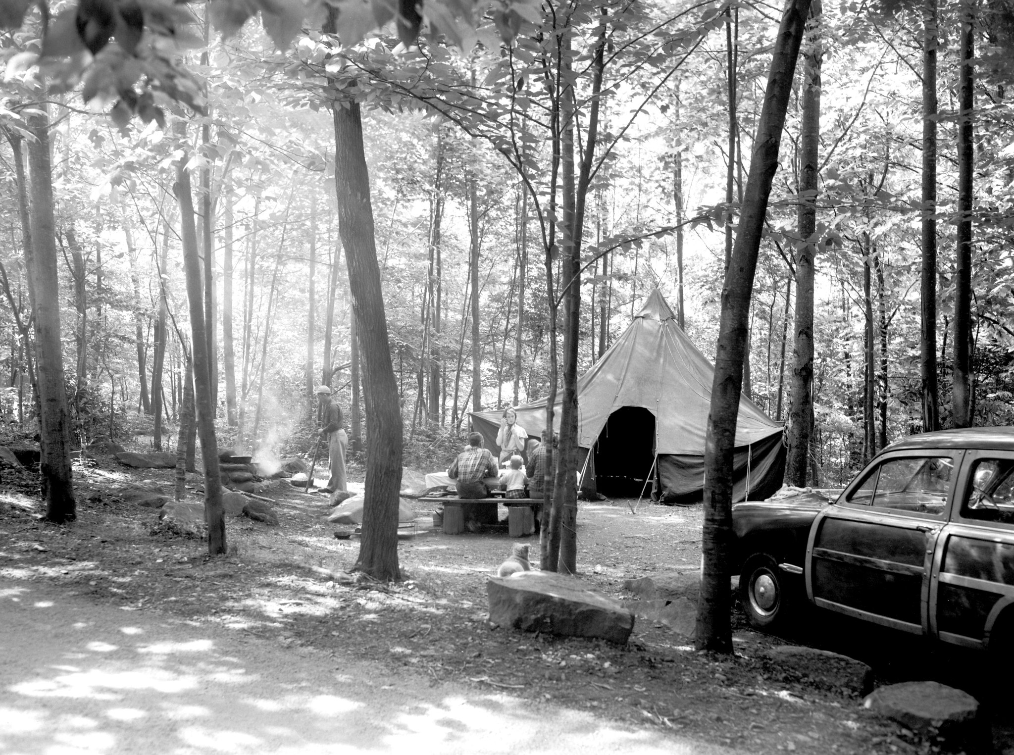
Vintage photo of a family enjoying the picnic area from 1952.
Public Domain. Mike Goad
Download Original (2048 x 1525 pixels, 793.6 KB)
-
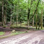
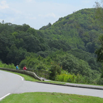
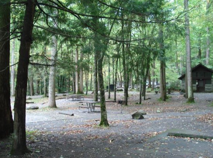
View of the Chimneys Picnic Area Road, Picnic Tables, and Parking Spaces.
Public Domain. National Park Service
Download Original (1024 x 768 pixels, 205.9 KB)
-
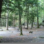
View of Chimneys Picnic Area and Pavilion.
Public Domain. National Park Service
Download Original (729 x 544 pixels, 131.0 KB)
-
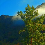
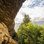
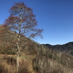
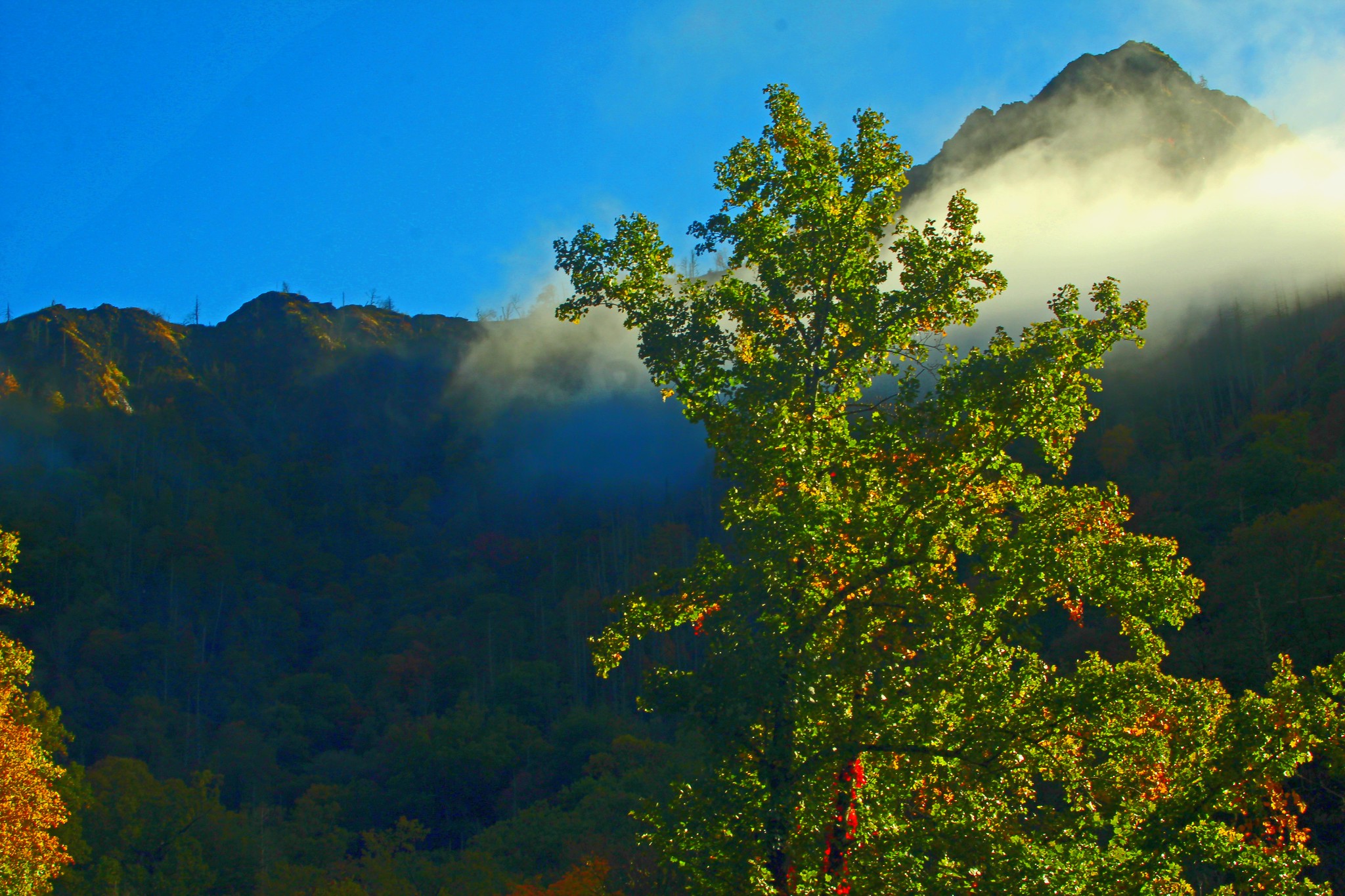
View of Chimney Top peaks and ridges, obscured by clouds, with a tree in the foreground.
Public Domain. Mark Steele
Download Original (2048 x 1365 pixels, 689.0 KB)
-
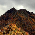
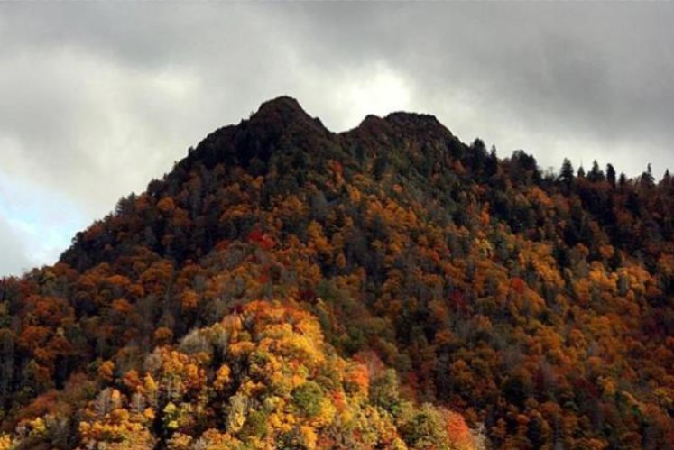
Chimney Tops peaks and ridges with fall foliage.
Public Domain. National Park Service
Download Original (747 x 499 pixels, 82.6 KB)
-
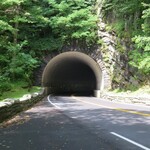
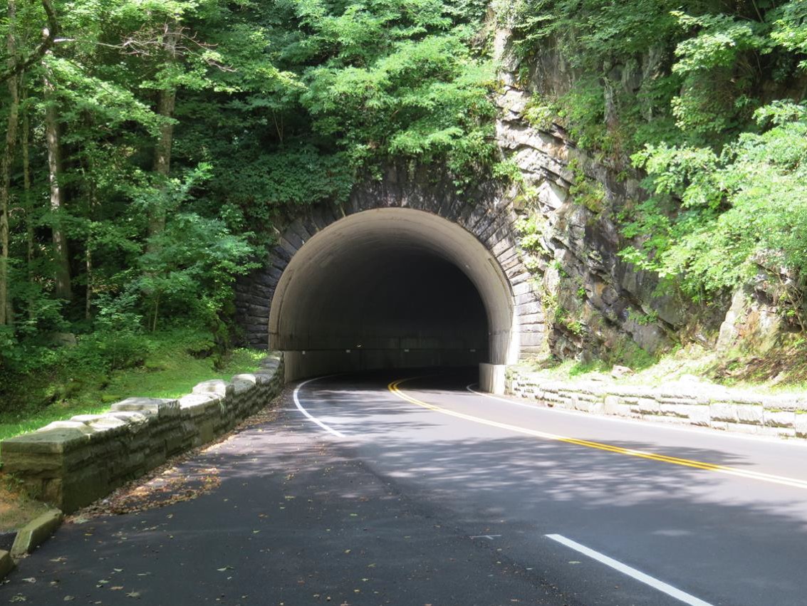
View of the Chimney Tops Tunnel from the other side of The Loop.
Public Domain. National Park Service
Download Original (1133 x 851 pixels, 294.2 KB)
-
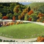
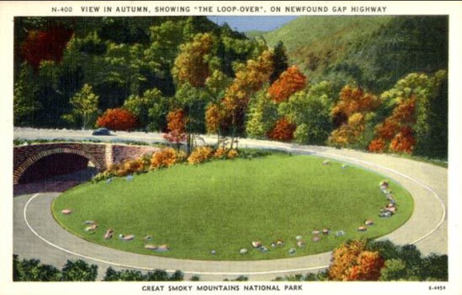
Vintage Postcard of The Loop in Autumn.
Public Domain. Unknown
Download Original (665 x 425 pixels, 83.7 KB)
-
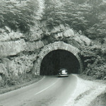
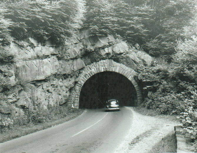
Vintage photo of a car driving into the Chimney Tops Tunnel to start "The Loop".
Public Domain. Unknown
Download Original (670 x 522 pixels, 134.8 KB)
-
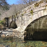
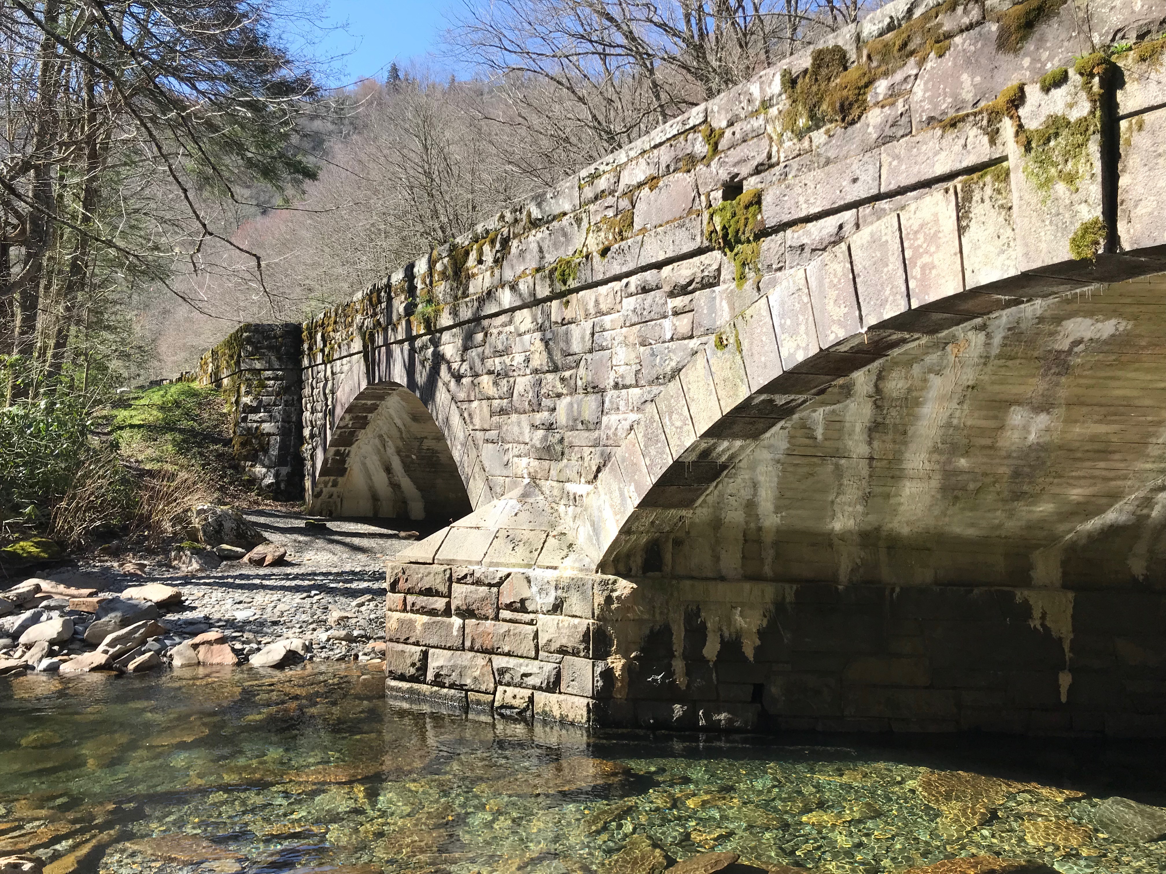
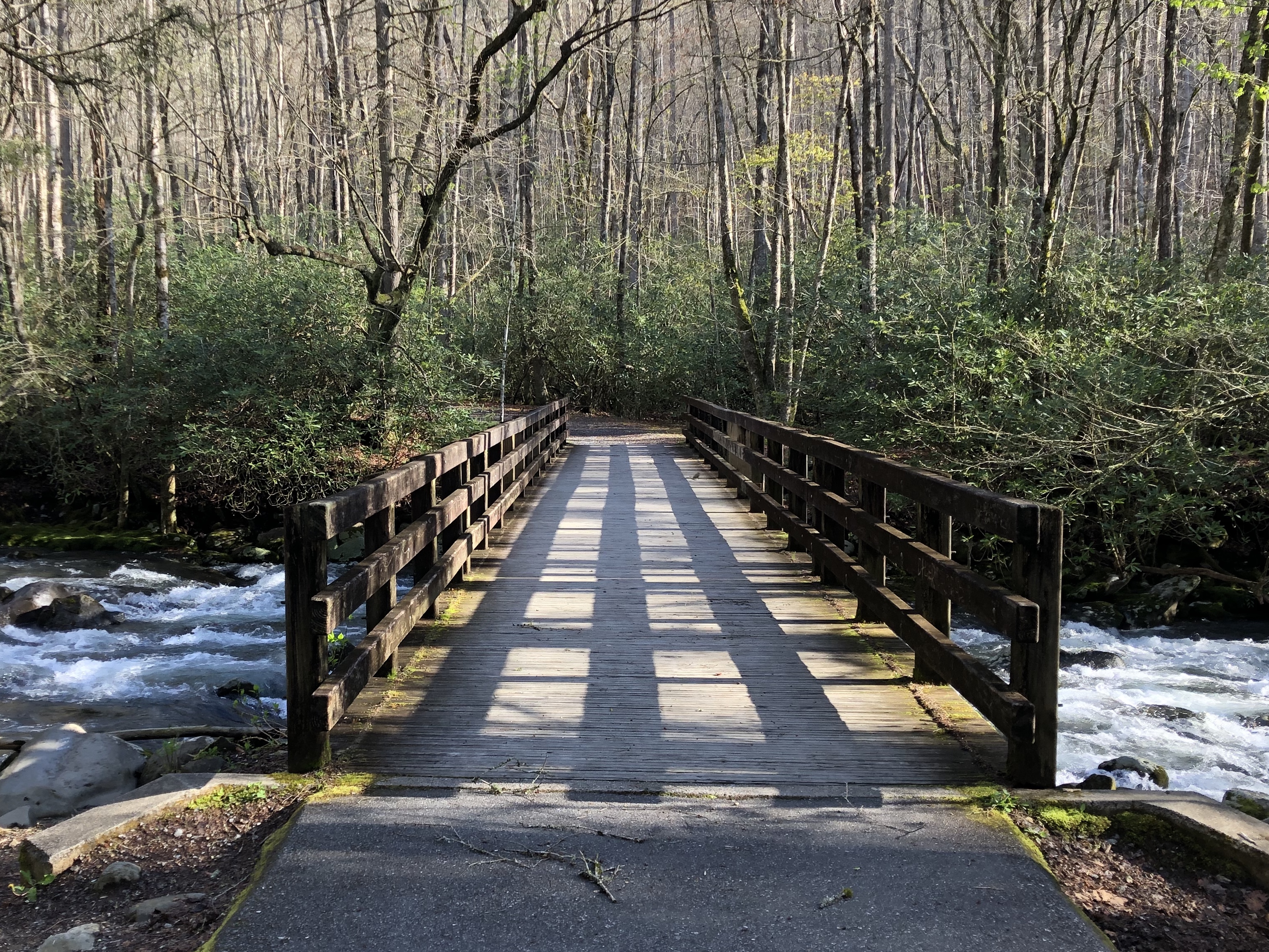
View of the side of the Walker Camp Prong Bridge.
Public Domain. National Park Service
Download Original (4032 x 3024 pixels, 4749.5 MB)
-
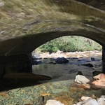
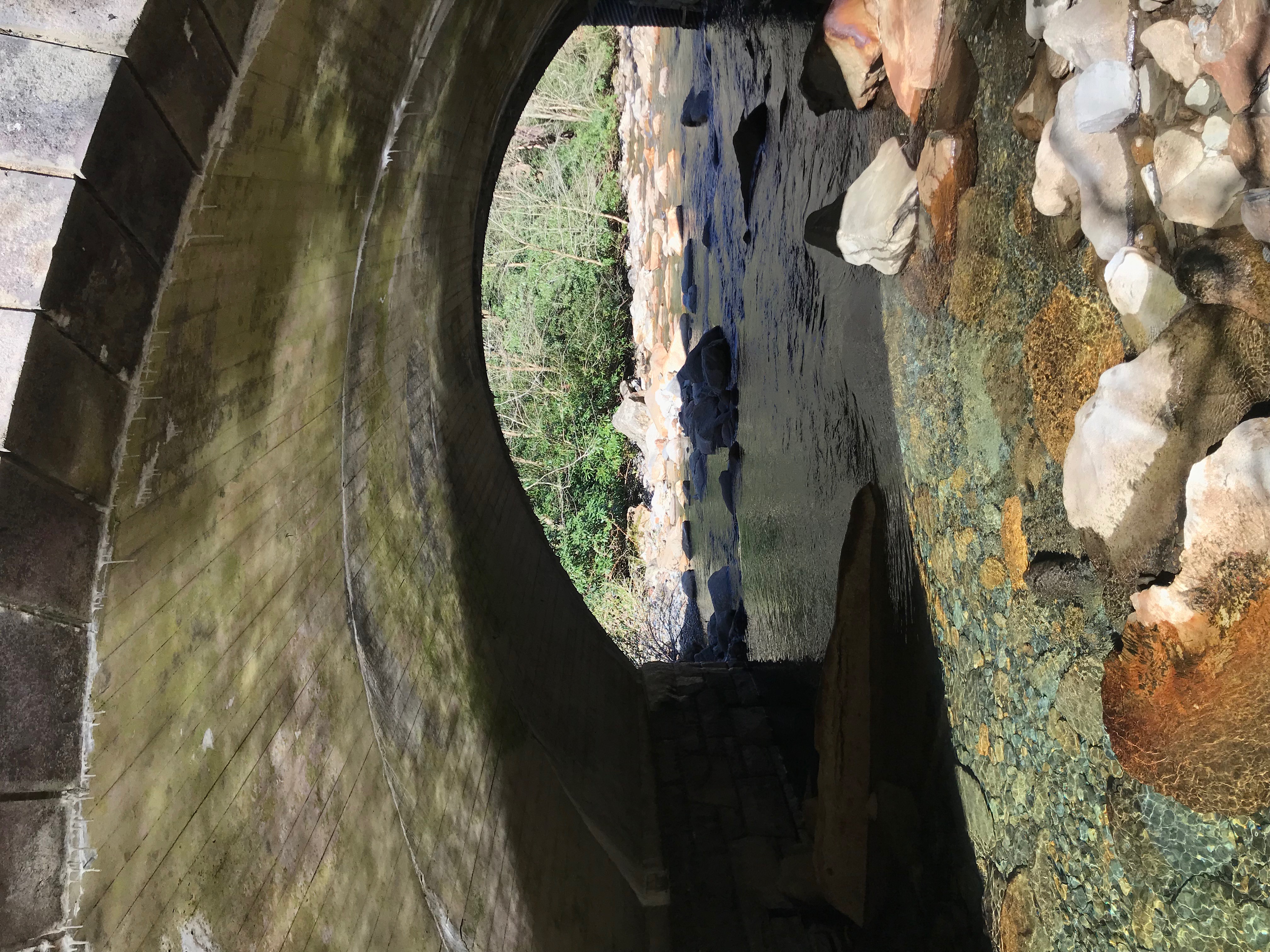
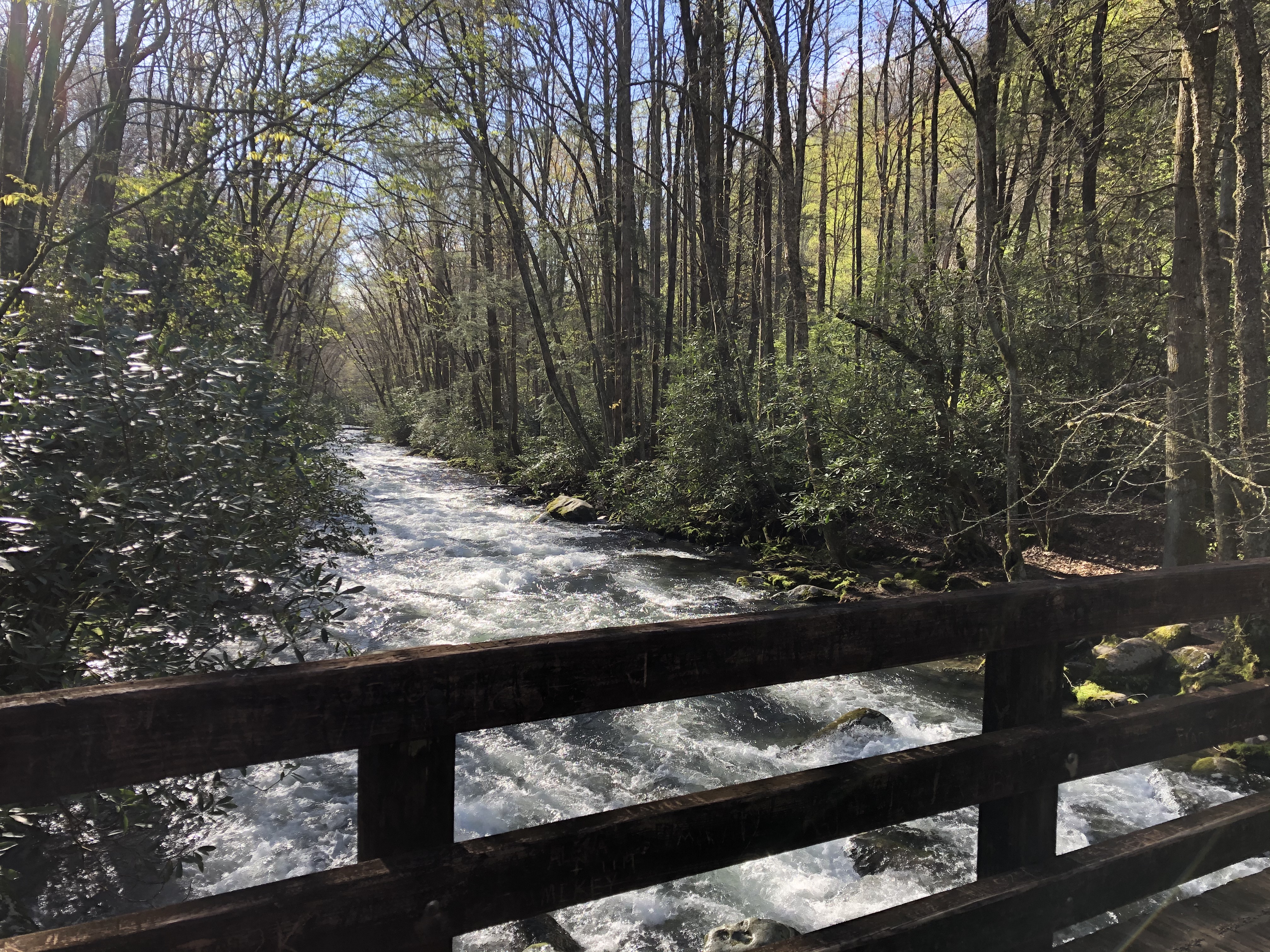
View of the water and rocks underneath the Walker Camp Prong Bridge.
Public Domain. National Park Service
Download Original (4032 x 3024 pixels, 3495.0 MB)
-
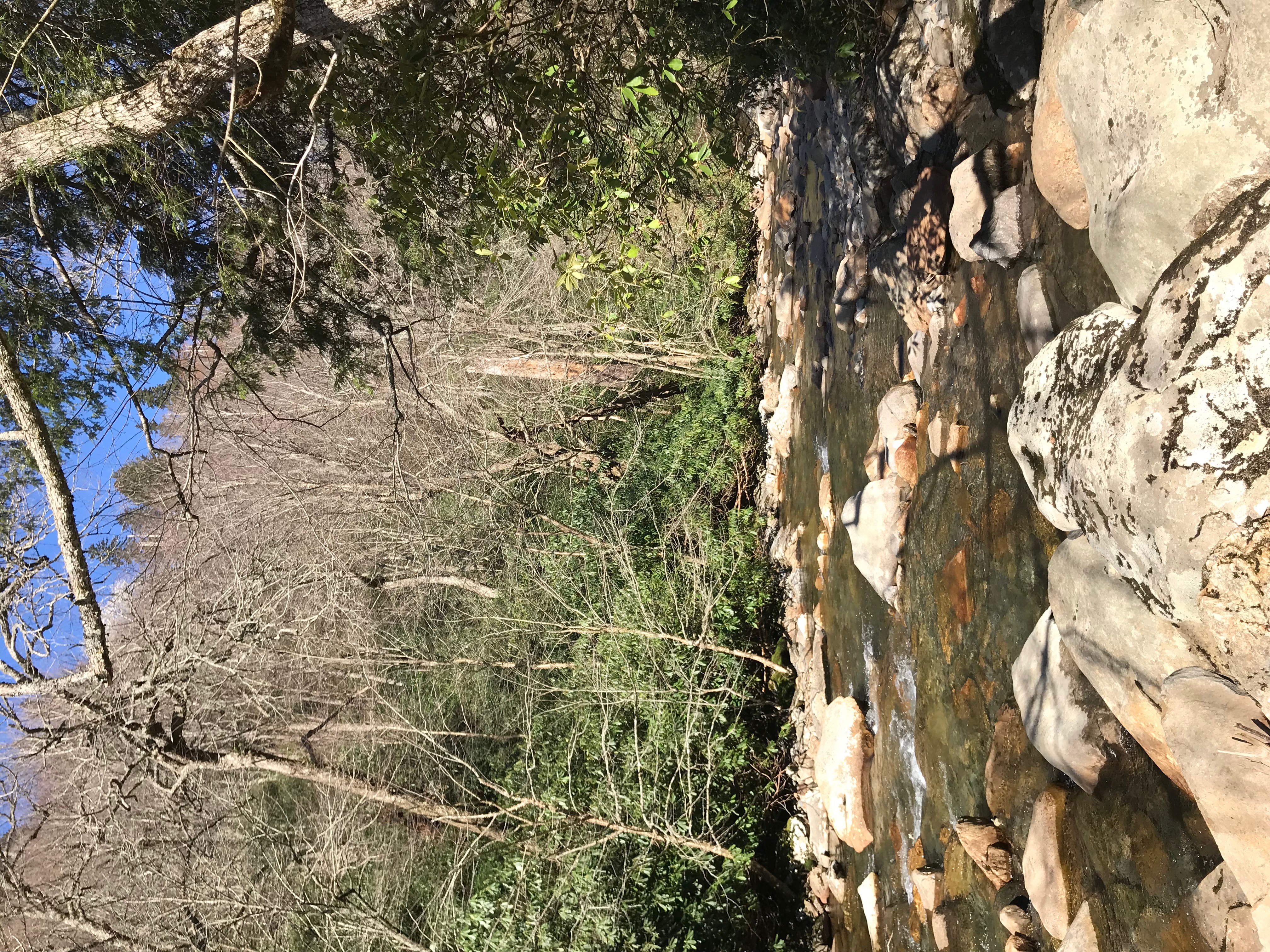
View of the Walker Camp Prong water and
rocks.Public Domain. National Park Service
Download Original (4032 x 3024 pixels, 5525.3 MB)
-
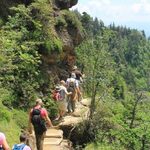
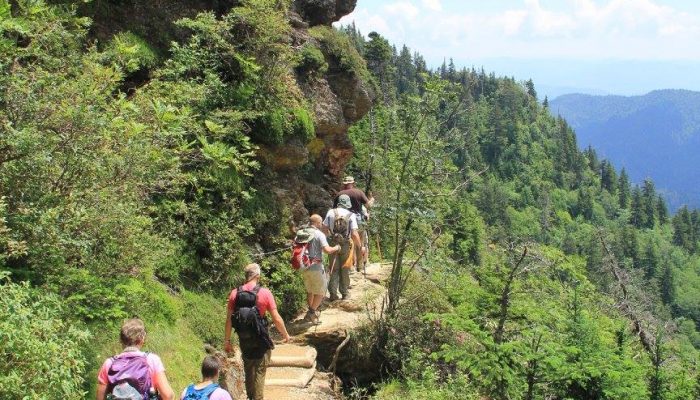
People hiking along Alum Cave Trail.
Public Domain. Friends of the Smokies
Download Original (700 x 400 pixels, 102.2 KB)
-
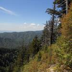
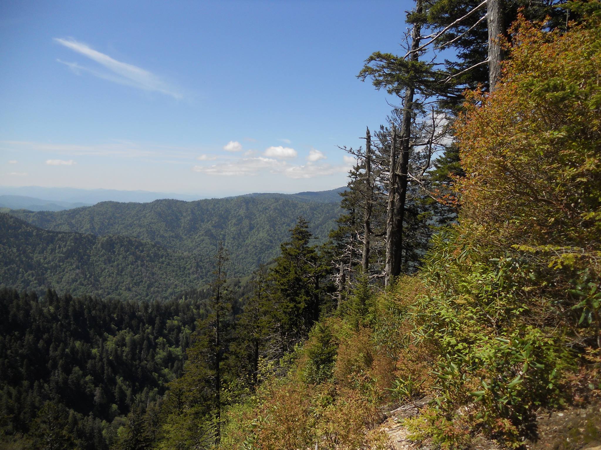
View of the ridge line from the Alum Cave Trail.
Public Domain. National Park Service
Download Original (2048 x 1536 pixels, 508.2 KB)
-
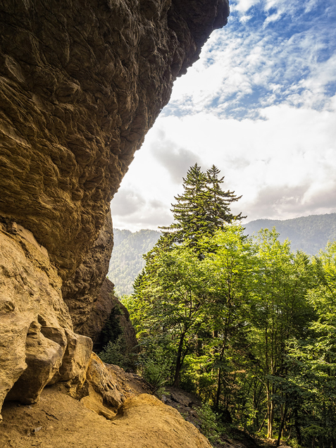
View of the Alum Cave Bluffs with the trees in the middle ground and the ridge line in the distant background.
Public Domain. Bob Carr
Download Original (477 x 636 pixels, 395.8 KB)
-
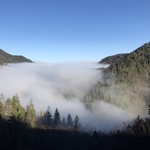
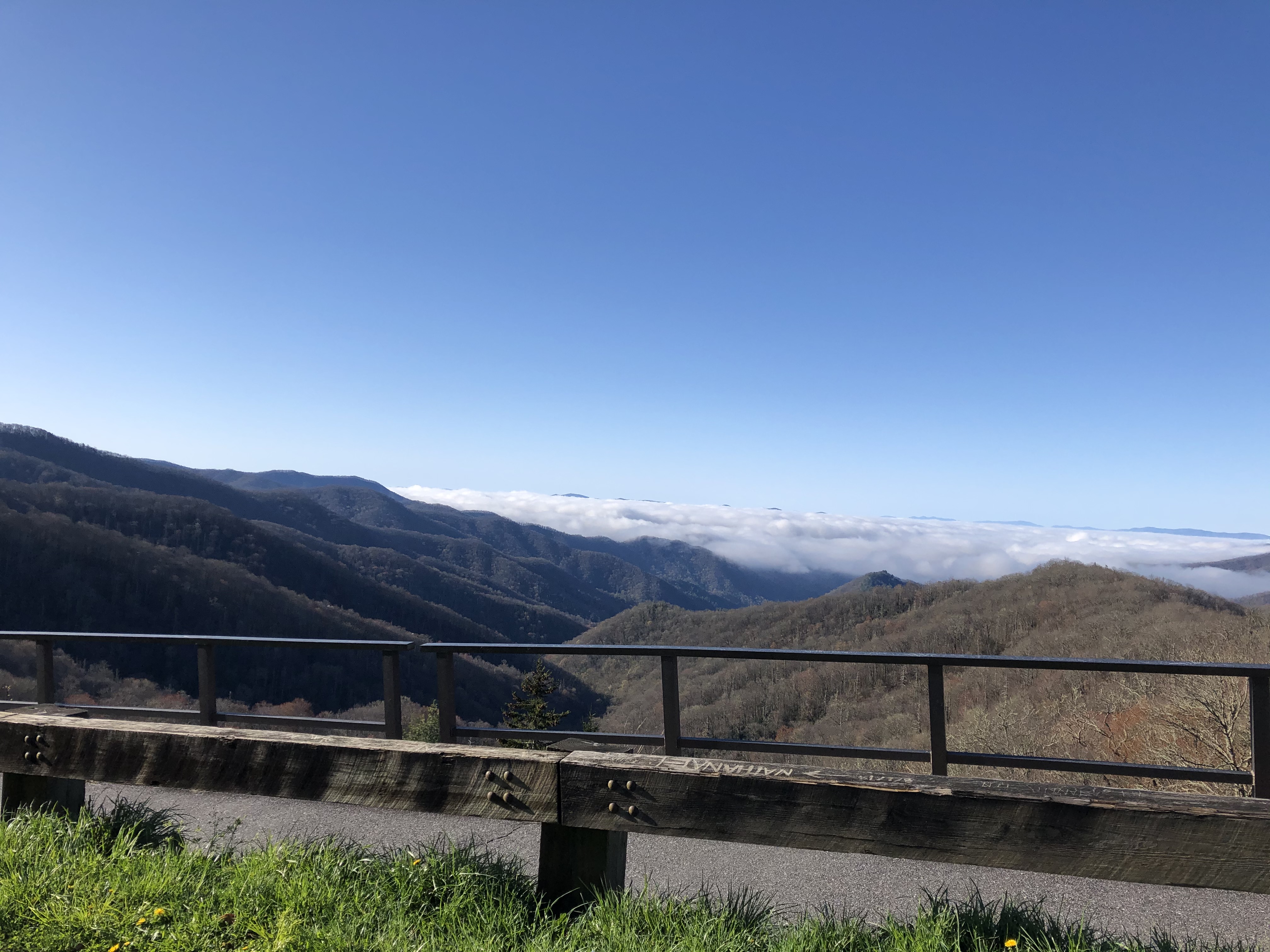
View of Morton Overlook with low clouds hanging over the valley.
Public Domain. National Park Service
Download Original (4032 x 3024 pixels, 1629.8 MB)
-
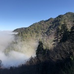
View of Morton Overlook with the peaks in the background and the trees in the foreground. Low clouds hang around the edge of the peaks.
Public Domain. National Park Service
Download Original (4032 x 3024 pixels, 2295.4 MB)
-
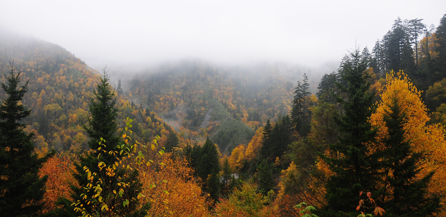
View of Morton Overlook with the ridgeline obscured by fog /clouds.
Trees in the foreground exhibit fall colors.Public Domain. National Park Service
Download Original (1429 x 696 pixels, 885.7 KB)
-
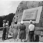
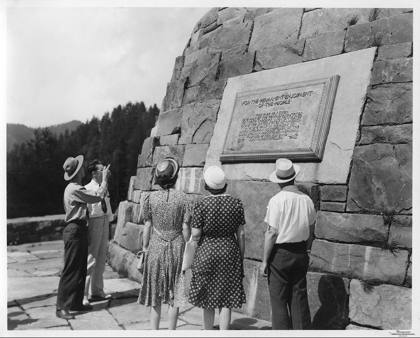
Vintage photo of visitors at the Rockefeller Memorial.
Public Domain. Unknown
Download Original (851 x 685 pixels, 218.4 KB)
-
View from Newfound Gap, as the sun is peaking over the ridge line and filtering through the vegetation.
Public Domain. NCDOT
Download Original (1200 x 800 pixels, 1058.6 MB)
-
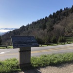
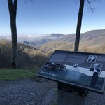
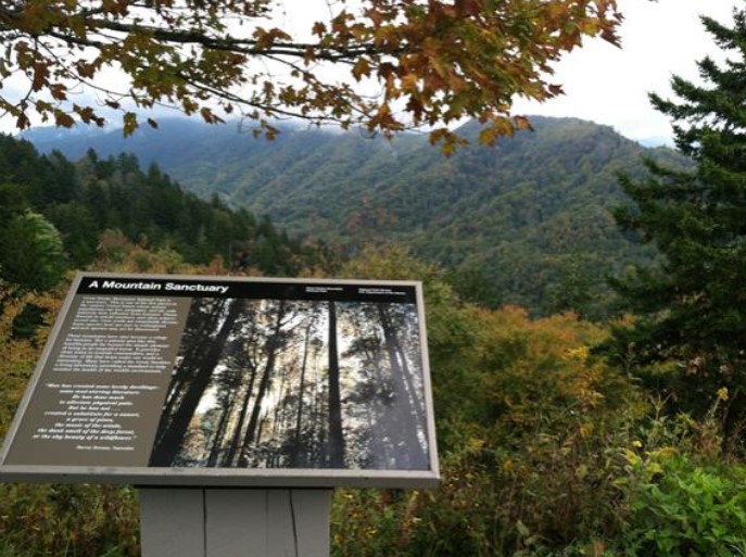
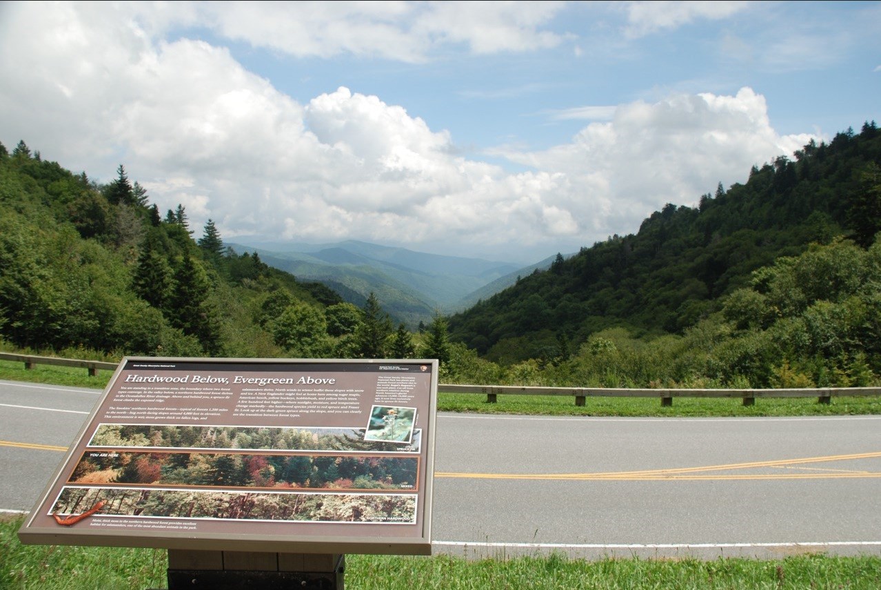
View from Newfound Gap Overlook and wayside interpretive sign.
Public Domain. National Park Service
Download Original (687 x 513 pixels, 113.8 KB)
-
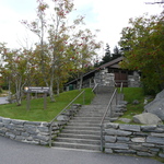
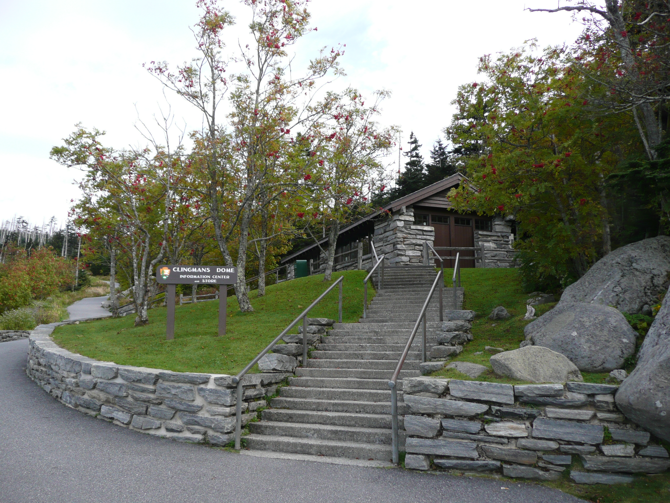
View of the Clingmans Dome Information Center
Public Domain. National Park Service
Download Original (2560 x 1920 pixels, 2355.8 MB)
-
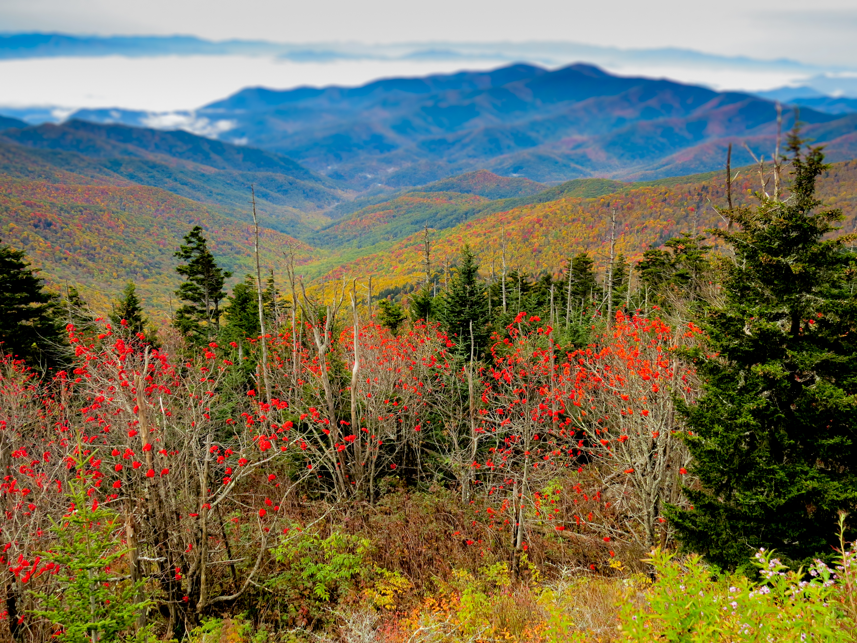
View from the Clingmans Dome Observation Tower, with the fall foliage in the foreground and the peaks and ridges in the background.
Public Domain. Warren Bielenberg
Download Original (2816 x 2112 pixels, 5981.5 MB)
-
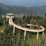
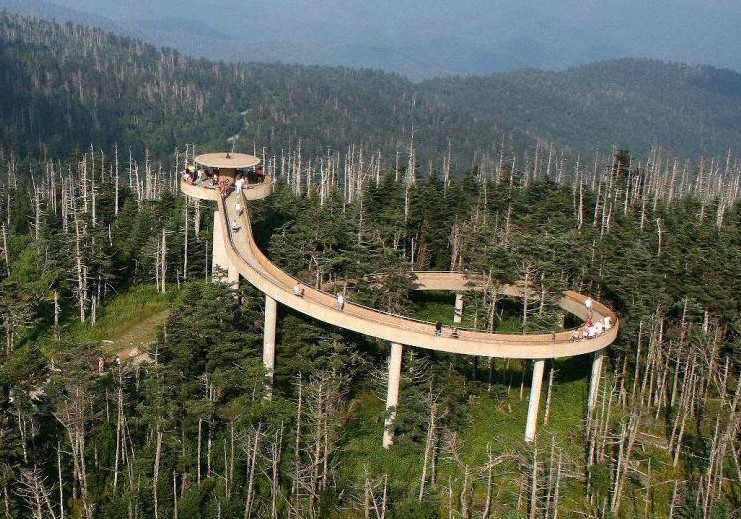
Aerial View of the Clingmans Dome Observation Tower.
Public Domain. National Park Service
Download Original (741 x 519 pixels, 177.8 KB)
-
View from the Luftee Overlook and Newfound Gap Road, with an
interpretive sign in the foreground.Public Domain. National Park Service
Download Original (4032 x 3024 pixels, 3236.5 MB)
-
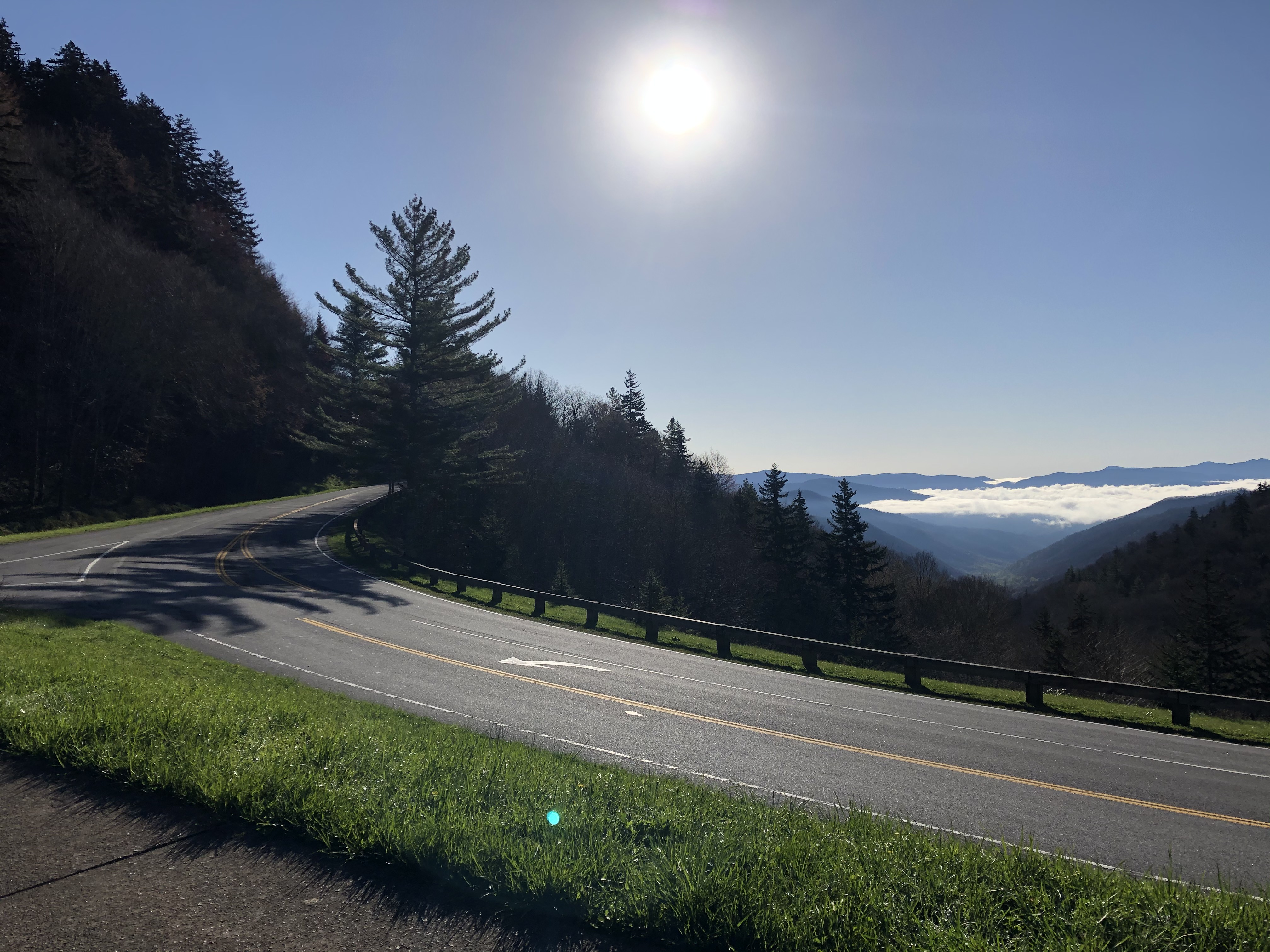
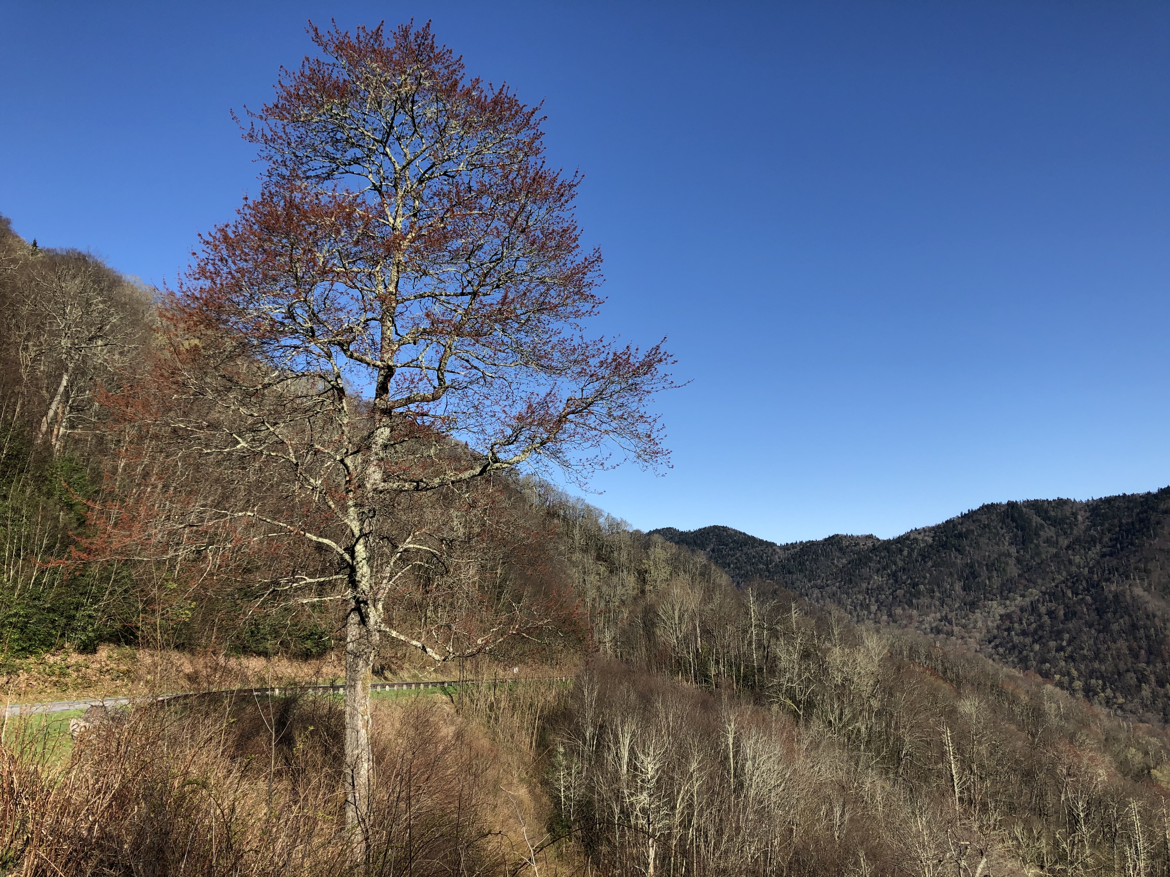
View from the Luftee Overlook with Newfound Gap Road in the foreground and trees and the sloping ridge line in the middle ground.
Public Domain. National Park Service
Download Original (4032 x 3024 pixels, 2424.1 MB)
-

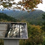
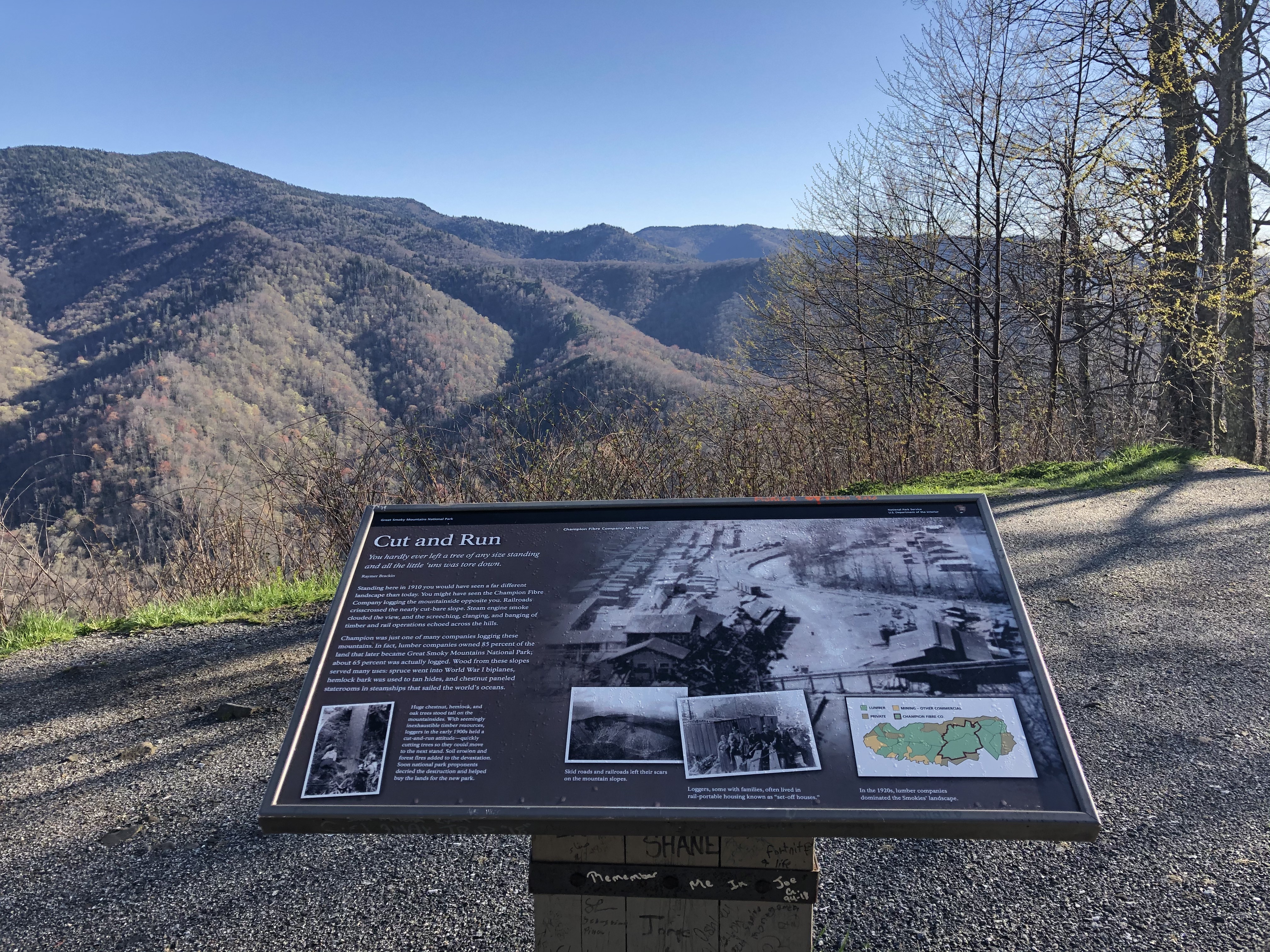
Close up view of the Luftee Overlook interpretive sign with the valley and peaks in the middle ground.
Public Domain. National Park Service
Download Original (1278 x 855 pixels, 272.2 KB)
-
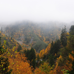
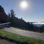
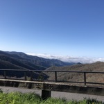
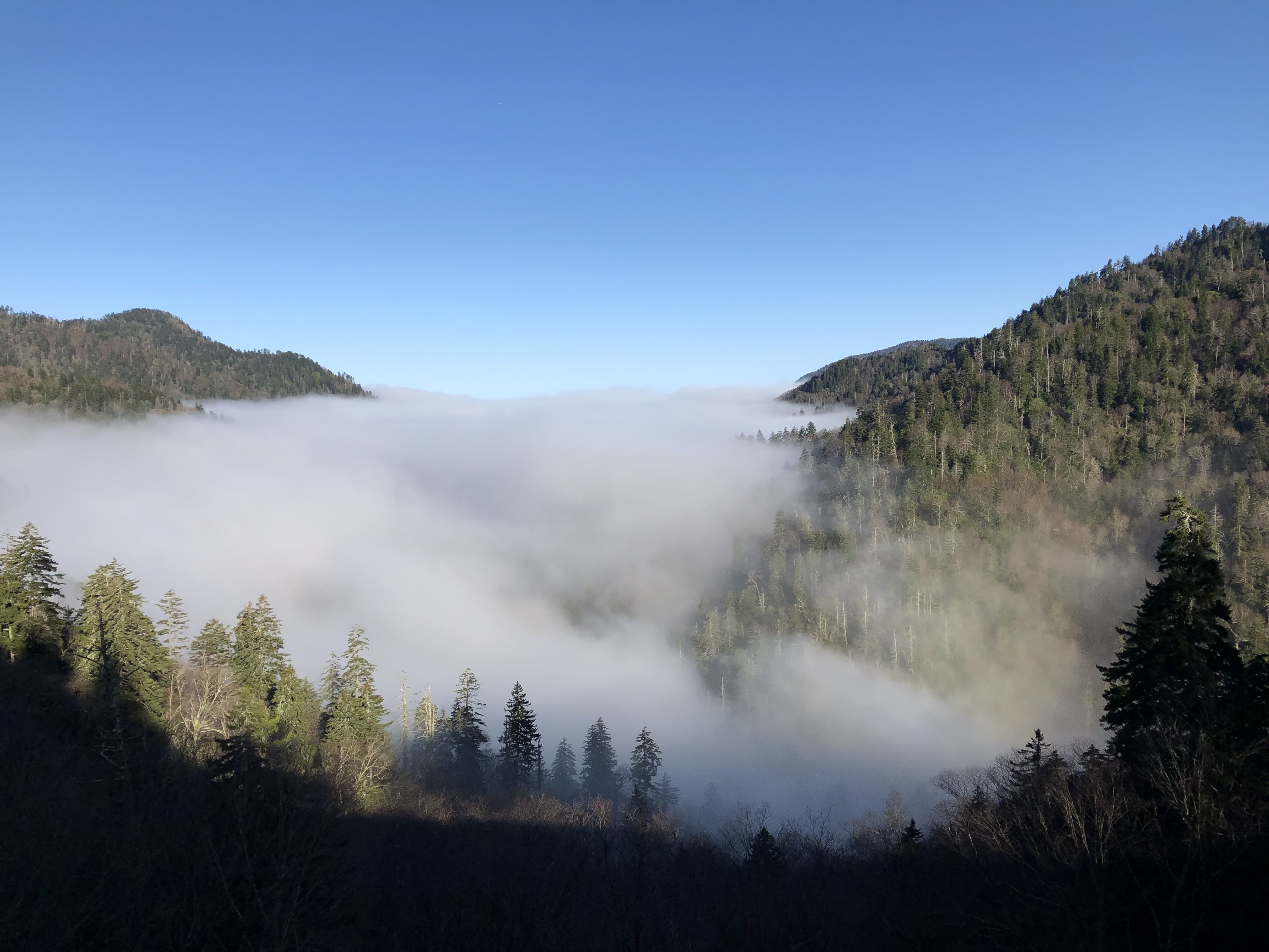
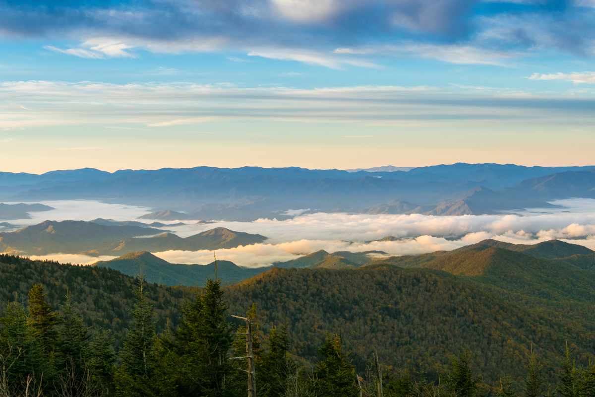
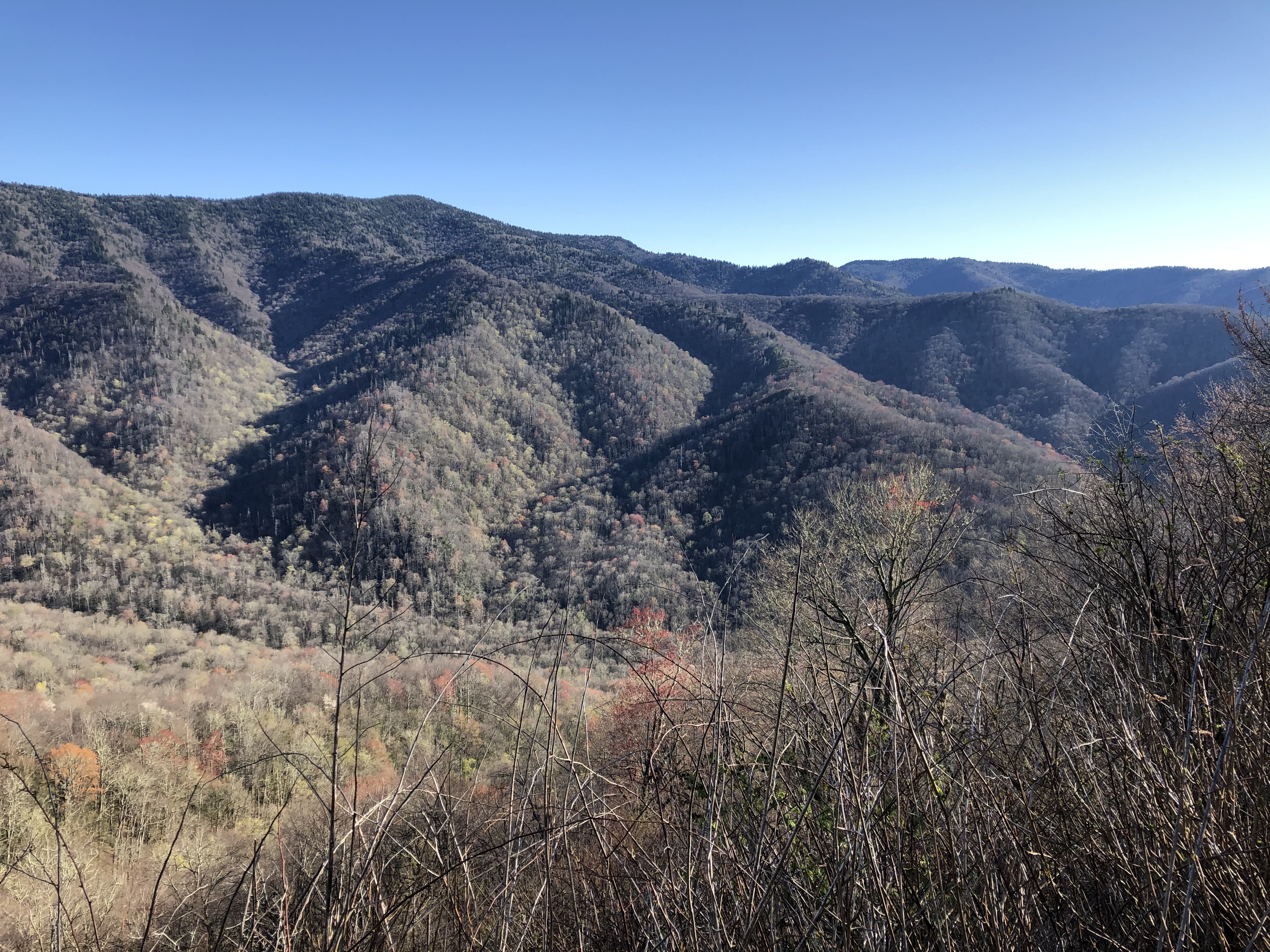
View of the Deep Creek Valley with the ridges peaking through the low hanging clouds.
Public Domain. NCDOT
Download Original (1200 x 800 pixels, 746.2 KB)
-
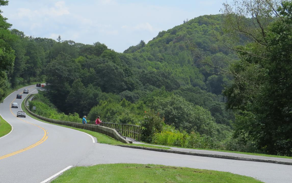
View of one of the Overlook Catwalks in the foreground and the view of the valley in the background.
Public Domain. National Park Service
Download Original (4032 x 3024 pixels, 2240.6 MB)
-
Long View along Newfound Gap Road of the Swinging Bridges Overlooks, Parking Areas, and Catwalks.
Public Domain. National Park Service
Download Original (1146 x 720 pixels, 383.0 KB)
-
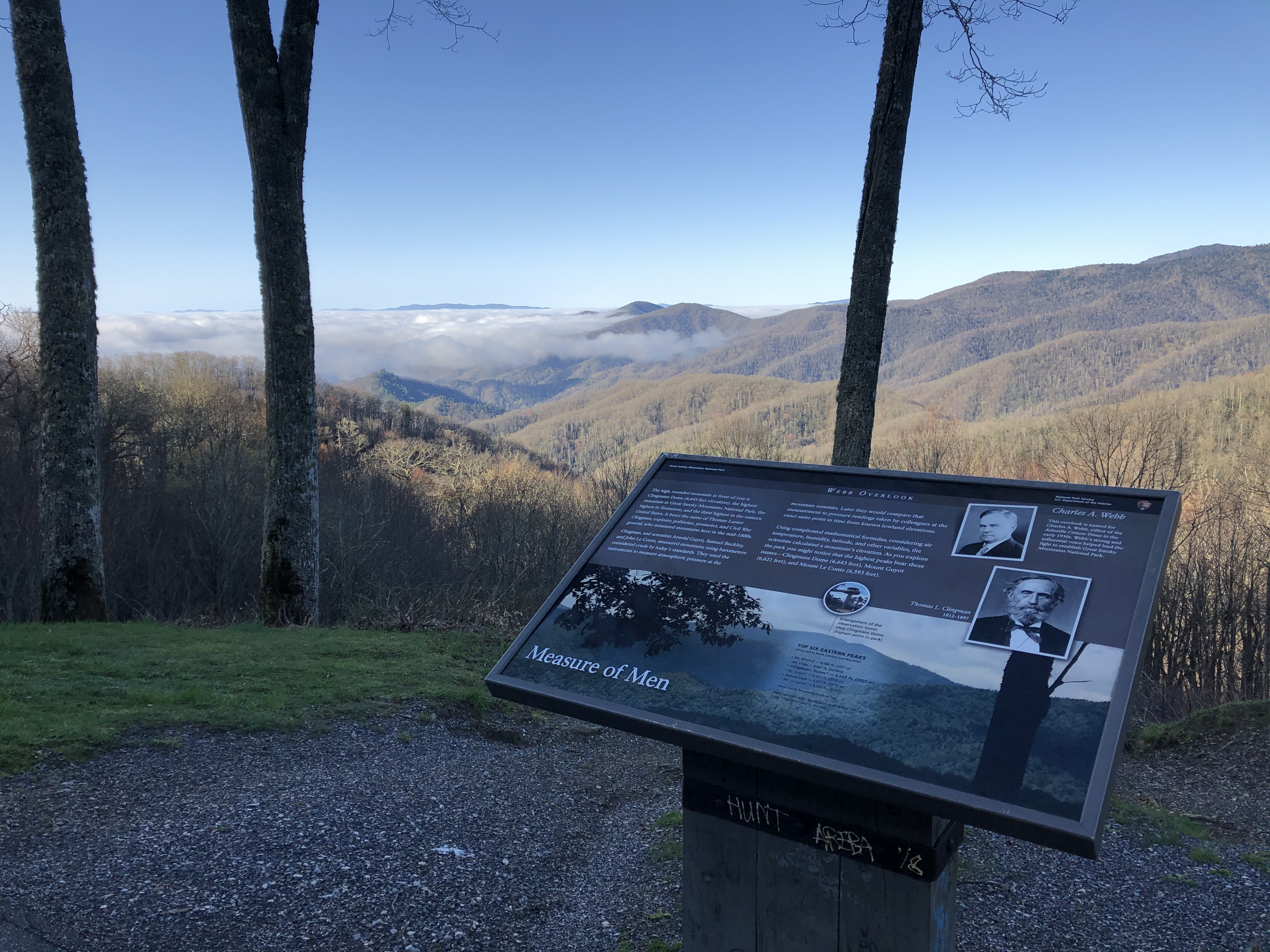
View from the Webb Overlook, with the interpretive sign in the foreground, the trees in the middle ground, and the valley and ridge line in the background.
Public Domain. National Park Service
Download Original (4032 x 3024 pixels, 3011.2 MB)
-
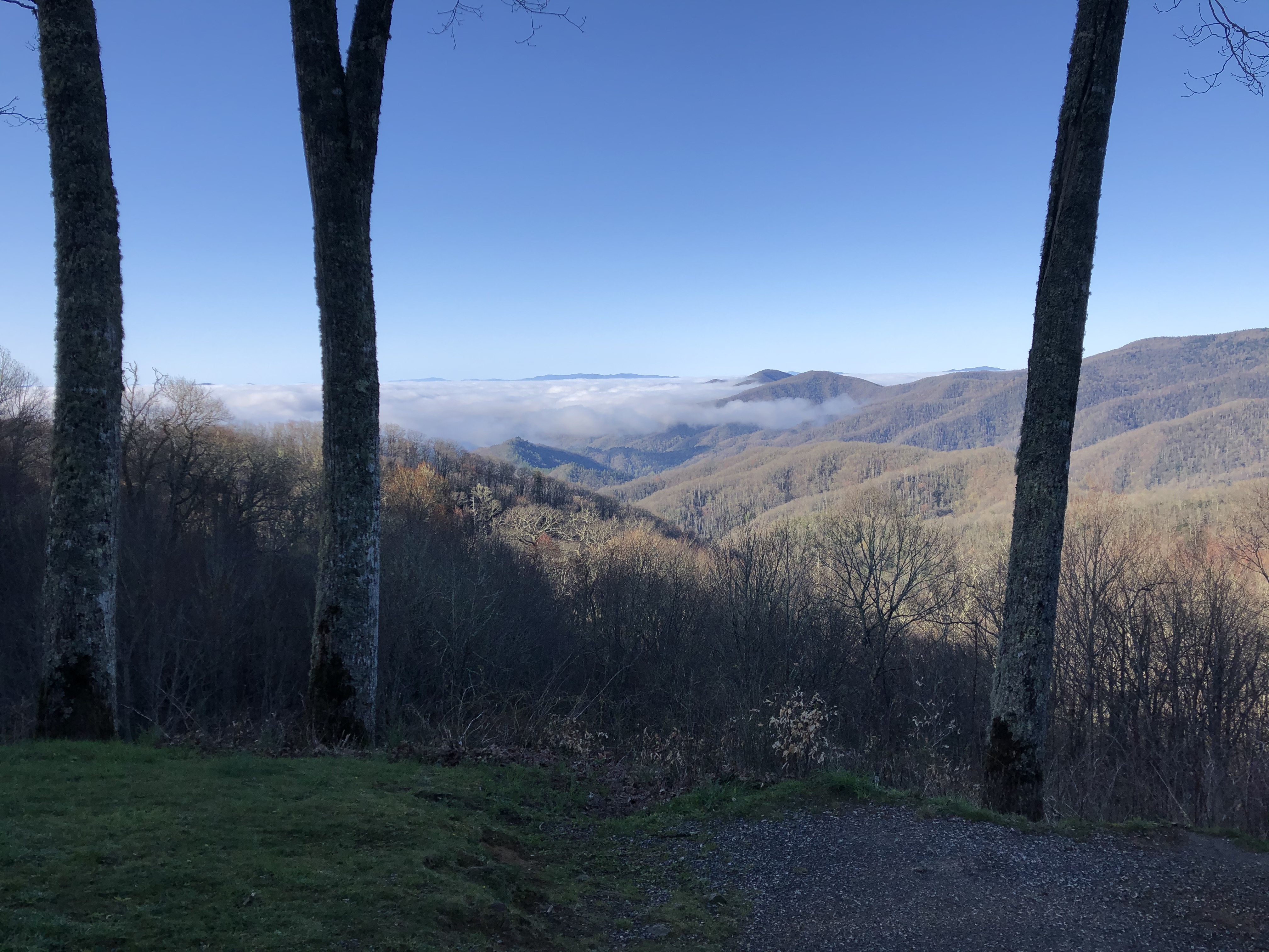
View from the Webb Overlook with the trees in the foreground and the valley in the middle ground.
Public Domain. National Park Service
Download Original (4032 x 3024 pixels, 2452.0 MB)
-
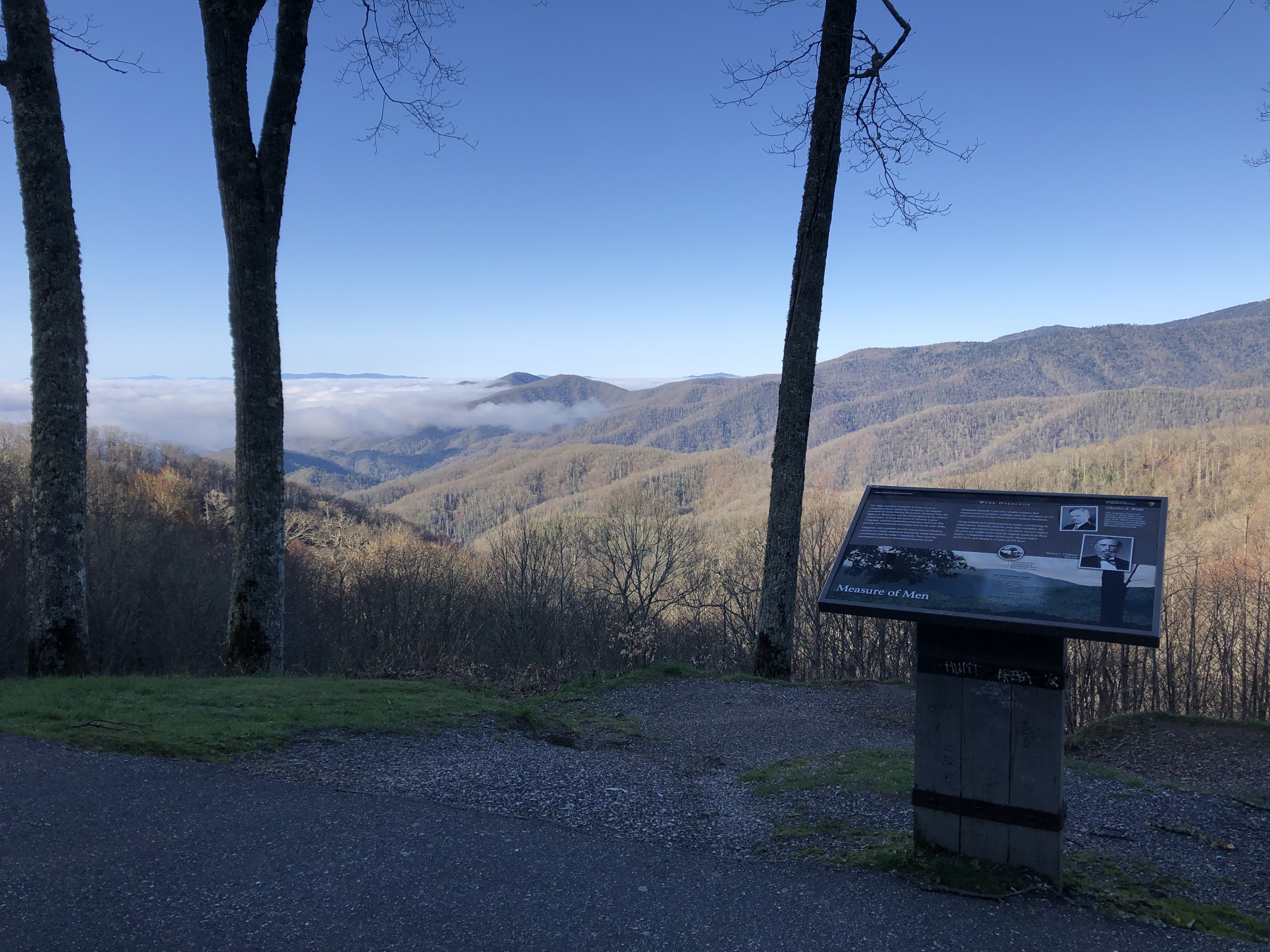
View from Webb Overlook Parking Area toward the valley and ridge line.
Public Domain. National Park Service
Download Original (4032 x 3024 pixels, 2775.5 MB)
-
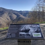
View of the History Exhibit Overlook interpretive sign in the foreground and the ridge line in the background.
Public Domain. National Park Service
Download Original (4032 x 3024 pixels, 4774.0 MB)
-
View from the History Exhibit Overlook toward the nearest peak and slope, with a tree in the middle ground.
Public Domain. National Park Service
Download Original (4032 x 3024 pixels, 4329.9 MB)
-
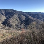
View of the peaks, ridges, and valleys across from the History Exhibit Overlook.
Public Domain. National Park Service
Download Original (4032 x 3024 pixels, 4243.6 MB)
-
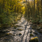
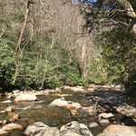
View of the Oconaluftee River as the light filters through the birch trees and dense thickets of doghobble and rhododendron that cover over the riverbanks.
Public Domain. NCDOT
Download Original (800 x 1200 pixels, 1571.2 MB)
-
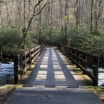
View of the Kephart Prong Trail Bridge over the Oconaluftee River.
Public Domain. National Park Service
Download Original (3058 x 2294 pixels, 3891.3 MB)
-
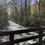
View of the Oconaluftee River from the Kephart Prong Trail Bridge.
Public Domain. National Park Service
Download Original (4032 x 3024 pixels, 4708.9 MB)
-
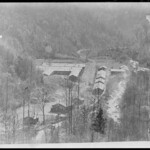
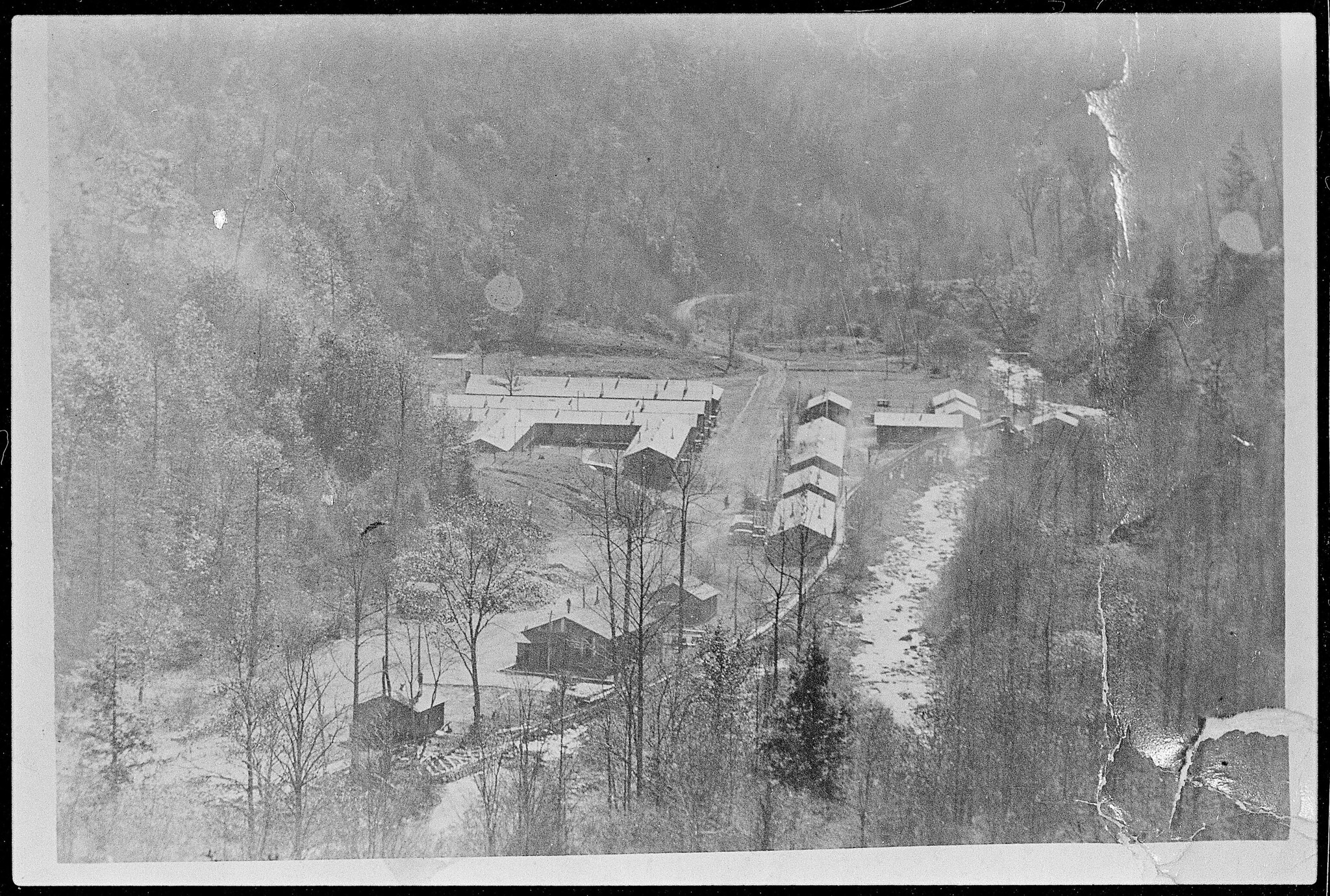
Vintage aerial image of the Smokemont Camp in 1935.
Public Domain. National Park Service
Download Original (2048 x 1380 pixels, 1258.8 MB)
-
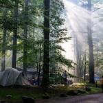
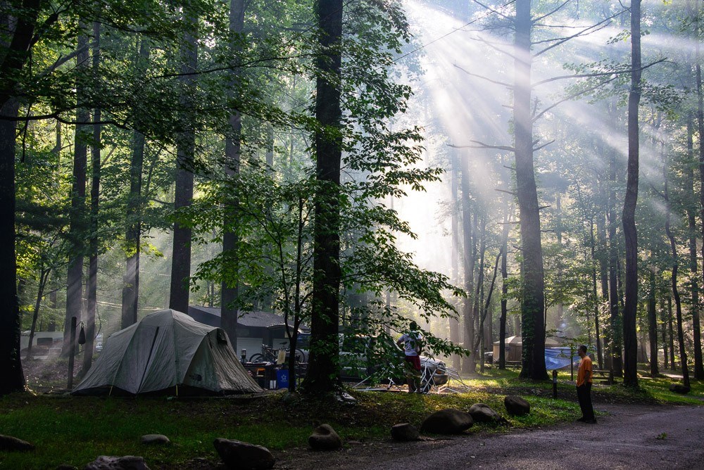
View into Smokemont Campground with the sunpeering through the trees.
Public Domain. National Park Service
Download Original (1000 x 668 pixels, 279.8 KB)
-
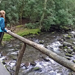
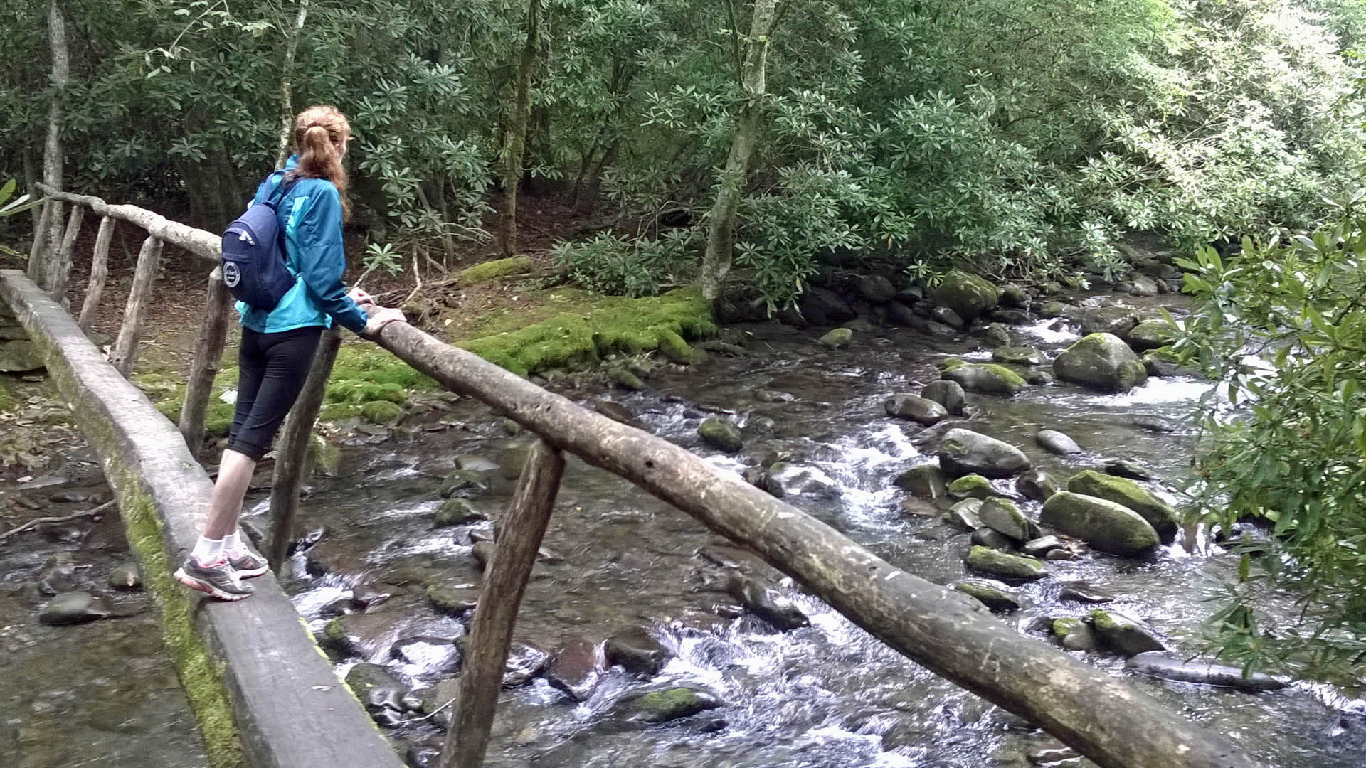
Person standing on the Smokemont Trail bridge looking at the Oconaluftee River.
Public Domain. Lenore Brown
Download Original (1920 x 1080 pixels, 439.4 KB)
-
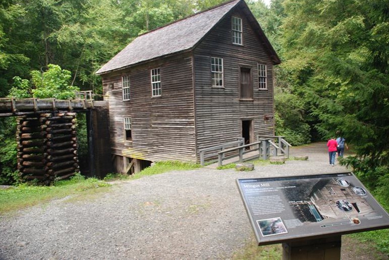
Side view of Mingus Mill with the interpretive sign in the foreground.
Public Domain. National Park Service
Download Original (771 x 516 pixels, 152.1 KB)
-
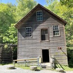
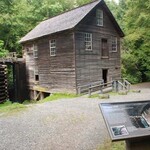
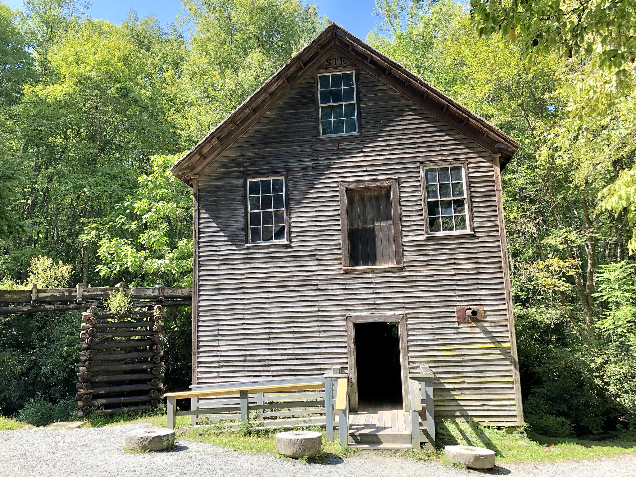
Front View of Mingus Mill.
Public Domain. Warren LeMay
Download Original (2048 x 1536 pixels, 1545.5 MB)
-
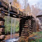
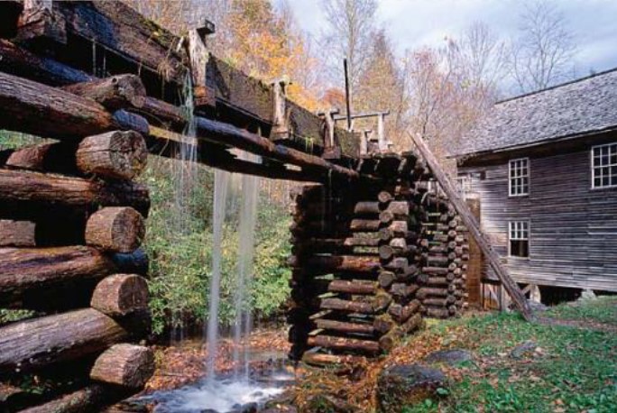
View of the timber frame water run, facing toward Mingus Mill.
Public Domain. National Park Service
Download Original (684 x 458 pixels, 111.4 KB)