
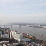
All Photos (480)
-
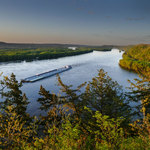
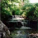
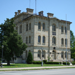
Archaeological resources are plentiful throughout Wisconsin's Great River Road corridor - with 33 archaeological sites currently listed in the National Register.
Public Domain.
Download Original (1724 x 2612 pixels, 660.0 KB)
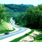
-
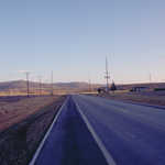
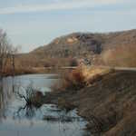
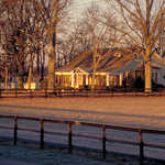
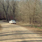
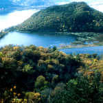
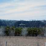
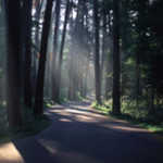
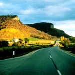
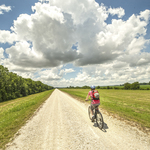
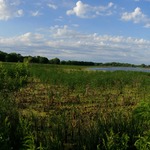
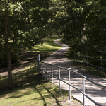
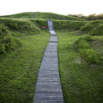
Little Dixie offers open views from each side of the road.
Public Domain. Photo by Dennis Adams
Download Original (3072 x 2048 pixels, 4968.5 MB)
-
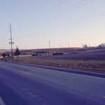
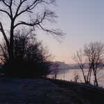
Little Dixie Highway turns a shade of purple in the twilight.
Public Domain. Photo by Dennis Adams
Download Original (3072 x 2048 pixels, 5389.1 MB)
-
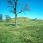
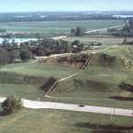
In the distance, the grass covered Monks Mound rises up from the flat surrounding area at Cahokia Mounds State Historic Site.
Public Domain. Photo by Lyle Kruger
Download Original (3498 x 2383 pixels, 1907.3 MB)
-
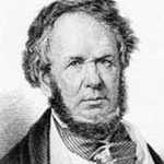
Henry Rowe Schoolcraft was instrumental in discovering the true source of the Mississippi River.
Public Domain.
Download Original (200 x 241 pixels, 37.0 KB)
-
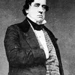
Lewis Cass served as an Army commander, governor of Michigan Territory, and U.S. Senator.
Public Domain.
Download Original (640 x 788 pixels, 410.3 KB)
-
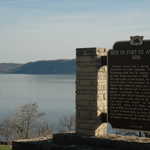
Shadows fall over the historic marker at the Site of Ft. Antoine wayside on the Great River Road in Wisconsin.
Public Domain. Photo by A. E. Crane
Download Original (3008 x 2000 pixels, 2765.3 MB)
-
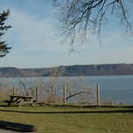
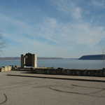
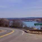
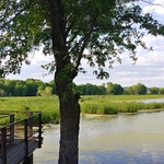
The Site of St. Antoine wayside on Lake Pepin has parking, picnic tables, and a lovely view of the lake and the Minnesota lakeside bluffs.
Public Domain. Photo by A. E. Crane
Download Original (3008 x 2000 pixels, 3081.8 MB)
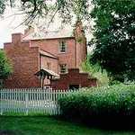
-
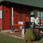
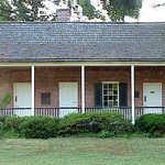
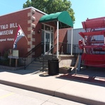
The bright red facade of the Depot Museum in Pepin provides a cheery background to the front yard full of railroad related items.
Public Domain. Photo by A. E. Crane
Download Original (3008 x 2000 pixels, 2871.1 MB)
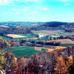
-
Bluffs appear to curl like waves over a small Wisconsin farm between Pepin and Nelson on the Great River Road in Wisconsin.
Public Domain. Photo by A. E. Crane
Download Original (3008 x 2000 pixels, 2614.4 MB)
-
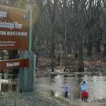
Children play in the waters of the Upper Mississippi River National Wildlife and Fish Refuge between the borders of Minnesota and Wisconsin.
Public Domain. Photo by A. E. Crane
Download Original (3008 x 2000 pixels, 3714.3 MB)
-
A road connects Wisconsin and Minnesota across the Mississippi River at the Upper Mississippi River National Wildlife and Fish Refuge.
Public Domain. Photo by A. E. Crane
Download Original (2000 x 3008 pixels, 2523.4 MB)
-
A historic marker at a wayside on the Great River Road in Wisconsin stands out against Lake Pepin, blue in springtime beneath a cloud-streaked sky.
Public Domain. Photo by S. Clyde
Download Original (3008 x 2000 pixels, 2472.4 MB)
-
Two trees and a stone wall are silhouetted against the spring blue sky and the waters of Lake Pepin on the Wisconsin-Minnesota border.
Public Domain. Photo by S. Clyde
Download Original (3008 x 2000 pixels, 2840.2 MB)
-
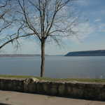
An afternoon traveler looks across Lake Pepin to the bluffs of the Minnesota shoreline.
Public Domain. Photo by S. Clyde
Download Original (3008 x 2000 pixels, 2795.1 MB)
-

The rounded walls of Maiden Rock rise above trees awaiting spring's warmth under a bright afternoon sky on the Great River Road in Wisconsin.
Public Domain. Photo by S. Clyde
Download Original (2000 x 3008 pixels, 3290.3 MB)
-
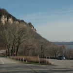
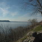
Craggy bluffs overlook the Great River Road in Wisconsin.
Public Domain. Photo by S. Clyde
Download Original (3008 x 2000 pixels, 2532.7 MB)
-
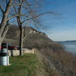
Trees eager for spring warmth, and a well-made low stone wall rim the edge of a scenic overlook's parking lot on the Wisconsin side of Lake Pepin.
Public Domain. Photo by S. Clyde
Download Original (3008 x 2000 pixels, 2992.0 MB)
-
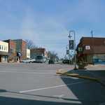
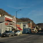
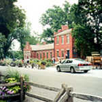
Downtown Prescott is quiet on a Saturday afternoon in early spring.
Public Domain. Photo by A. E. Crane
Download Original (3008 x 2000 pixels, 4044.0 MB)
-
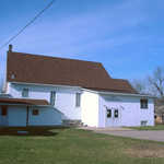
A small white church in Hager City is just off the Great River Road.
Public Domain. Photo by A. E. Crane
Download Original (2910 x 1854 pixels, 3913.7 MB)
-

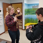
Children and adults will learn about logging at the Forest History Center in Grand Rapids, Minnesota.
© 2001 Minnesota Office of Tourism Library.
Download Original (235 x 360 pixels, 30.2 KB)
-

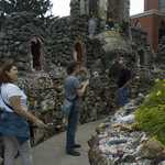
A visitor stands amidst the elaborate mosaic walkways and walls of the Holy Ghost Catholic Church.
Public Domain. Photo by S. Clyde
Download Original (2000 x 3008 pixels, 5019.9 MB)
-
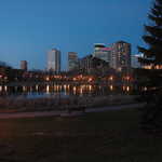
Lights from the Minneapolis skyline reflect in Loring Park's pond as evening falls one April day.
Public Domain.
Download Original (3008 x 2000 pixels, 3140.6 MB)
-
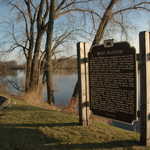
An interpretive sign at a wayside on the Great River Road in Wisconsin explains some history of the area.
Public Domain. Photo by S. Clyde
Download Original (3008 x 2000 pixels, 2975.7 MB)
-
Late afternoon sun casts shadows over the town of Alma on a quiet Saturday afternoon in April.
Public Domain. Photo by S. Clyde
Download Original (3008 x 2000 pixels, 2362.1 MB)
-
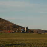
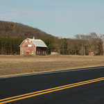
Silos, barns and outbuildings form part of this farm on the edge of a field and gently sloping hill in Wisconsin.
Public Domain. Photo by S. Clyde
Download Original (3008 x 2000 pixels, 2278.8 MB)
-

Reputedly one of John Grisham's favorite bookstores, this mid-American icon is also beloved of bibliophiles across the country.
Public Domain. Photo by Dennis Adams of FHWA
Download Original (512 x 768 pixels, 394.0 KB)
-
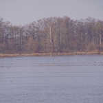
Birds skim the water at this lake on the Great River Road in Arkansas.
Public Domain. Photo by Dennis Adams of FHWA
Download Original (768 x 512 pixels, 301.0 KB)
-
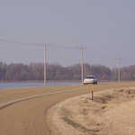
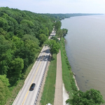
A car passes the blue waters of a lake on the Great River Road on an autumn day.
Public Domain. Photo by Dennis Adams of FHWA
Download Original (768 x 512 pixels, 298.9 KB)
-
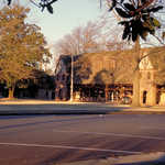
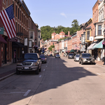
Stop in this Byway town for a breather and to see some classic architecture, like this Tudor building.
Public Domain. Photo by Dennis Adams of FHWA
Download Original (768 x 512 pixels, 471.2 KB)
-
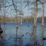
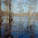
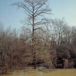
Cypress trees grow out of water in this bog near Helena.
Public Domain. Photo by Dennis Adams of FHWA
Download Original (3072 x 2048 pixels, 4755.9 MB)
-
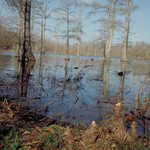
Cypress trees grow out of water in this bog near Helena, Arkansas.
Public Domain. Photo by Dennis Adams of FHWA
Download Original (512 x 768 pixels, 497.1 KB)
-
Cypress trees grow out of water in this bog near Helena.
Public Domain. Photo by Dennis Adams of FHWA
Download Original (768 x 512 pixels, 496.2 KB)
-
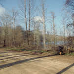
The roadside lends just a peek of the cypress bog beyond.
Public Domain. Photo by Dennis Adams of FHWA
Download Original (768 x 512 pixels, 470.3 KB)
-
A golden sunrise settles on a farmhouse beside the Great River Road in Arkansas.
Public Domain. Photo by Dennis Adams of FHWA
Download Original (768 x 512 pixels, 353.6 KB)
-
A golden sunrise settles on a farmhouse beside the Great River Road in Arkansas.
Public Domain. Photo by Dennis Adams of FHWA
Download Original (768 x 512 pixels, 520.6 KB)
-

A brilliant sunrise coats the Mississippi River in warm hues.
Public Domain. Photo by Dennis Adams of FHWA
Download Original (768 x 512 pixels, 286.0 KB)
-
The rising sun colors the horizon a brilliant tangerine over the Mississippi River.
Public Domain. Photo by Dennis Adams of FHWA
Download Original (768 x 512 pixels, 239.7 KB)
-
A barge drifts along the Mississippi River while a brilliant sunrise coats the river in warm hues.
Public Domain. Photo by Dennis Adams of FHWA
Download Original (768 x 512 pixels, 242.8 KB)
-
A river barge passes by beneath a brilliant sunrise on the Mississippi River.
Public Domain. Photo by Dennis Adams of FHWA
Download Original (768 x 512 pixels, 269.7 KB)
-

A river barge coasts on the Mississippi River in the rising sun near Blytheville.
Public Domain. Photo by Dennis Adams of FHWA
Download Original (768 x 512 pixels, 281.7 KB)
-

A car drives beneath the delicate arch gracing the border of Arkansas and Missouri.
Public Domain. Photo by Dennis Adams of FHWA
Download Original (768 x 512 pixels, 295.1 KB)
-
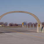
A delicate arch graces the border of Arkansas and Missouri.
Public Domain. Photo by Dennis Adams of FHWA
Download Original (768 x 512 pixels, 292.4 KB)
-
Flooded trees may line the riverbanks beside the Great River Road.
Public Domain. Photo by Dennis Adams of FHWA
Download Original (512 x 768 pixels, 365.7 KB)
-
The blue waters are still inviting in the fall, even if it's just to look at.
Public Domain. Photo by Dennis Adams
Download Original (768 x 512 pixels, 173.3 KB)
-
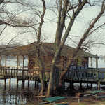
This house built on stilts allows for living directly over the water.
Public Domain. Photo by Dennis Adams of FHWA
Download Original (768 x 512 pixels, 494.9 KB)
-
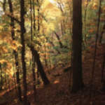
A USFS road delves deep into a forest of fall trees.
Public Domain. Photo by Dennis Adams of FHWA
Download Original (768 x 512 pixels, 457.4 KB)
-
The limbs and branches of bare trees are silhouetted against a backdrop of a dusky Mississippi River.
Public Domain. Photo by Dennis Adams
Download Original (3072 x 2048 pixels, 4502.7 MB)
-
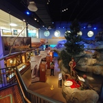
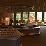
Visitors at the National Mississippi River Museum and Aquarium along the Great River Road learn about the natural features and wildlife Mississippi has to offer.
Public Domain. Photo by S. Clyde
Download Original (2663 x 1695 pixels, 2497.5 MB)
-

A visitor stands in front of the niche in the Holy Ghost Catholic Church.
Public Domain. Photo by S. Clyde
Download Original (2000 x 3008 pixels, 3852.0 MB)
-
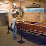
A visitor admires the boats inside the National Mississippi Museum and Aquarium.
Public Domain. Photo by S. Clyde
Download Original (2000 x 3008 pixels, 5690.7 MB)
-

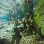
An alligator comes from the water in the National Mississippi Museum and Aquarium located along Great River Road.
Public Domain. Photo by S. Clyde
Download Original (3008 x 2000 pixels, 4839.0 MB)
-
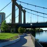
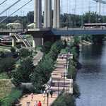
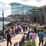
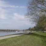
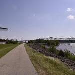
Minneapolis' Riverfront Walkway meanders alongside the river toward the Hennepin Ave. Bridge.
© October 2004 Chuck Kochmann.
Download Original (2136 x 2848 pixels, 1490.7 MB)
-
Contrails streak the sky at sunset over Lake Rebecca Park in Hastings.
© November 2004 Chuck Kochmann.
Download Original (2848 x 2136 pixels, 1582.6 MB)
-
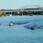
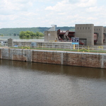
Boats speed toward the Lock & Dam just upstream from Hastings.
© November 2004 Chuck Kochmann.
Download Original (2848 x 2136 pixels, 1551.4 MB)
-
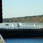
Boats wait for their turn to go through the Lock & Dam near Hastings.
© November 2004 Chuck Kochmann.
Download Original (2848 x 2136 pixels, 1655.5 MB)
-
People stroll on a walkway along the Mississippi River on a beautiful fall day in Hastings.
Public Domain. Photo by Chuck Kochmann
Download Original (2848 x 2136 pixels, 1557.5 MB)
-
Patricia McNally admires the flower-filled courtyard at the Holy Ghost Catholic Church.
Public Domain.
Download Original (2786 x 1930 pixels, 3636.8 MB)
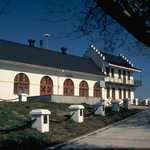
-

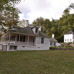
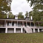
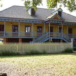
The Antebellum home of Rosemont shows early American architecture.
Public Domain.
Download Original (499 x 269 pixels, 53.2 KB)
-

Sky is orange over the ruffled gray waters of the Mississippi River on the Great River Road.
© 1998 Chalae Cox.
Download Original (300 x 215 pixels, 8.2 KB)
-
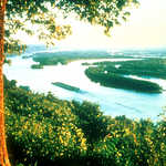
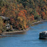
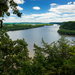
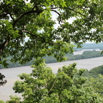
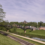
This view from a high level in Pierce County catches it all - the magnificent Mississippi River, the towering forested bluffs with limestone outcropping, and a barge. A Wayside/Scenic Overlook adjacent to the Wisconsin Great River Road gracefully fits in.
Public Domain.
Download Original (2356 x 3497 pixels, 889.4 KB)
-
This slide illustrates the care with which the design of the Wisconsin Great River Road was "fit into" the environmentally sensitive landscape.
Public Domain.
Download Original (3072 x 2289 pixels, 684.7 KB)
-
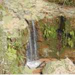
Water cascades over rock ledges near David's Cove on the Great River Road in Illinois.
© 1998 Chalae Cox.
Download Original (209 x 290 pixels, 23.5 KB)
-
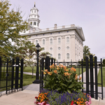
Brigham Young's home in Nauvoo stands as a reminder of the industriousness of the early settlers.
© 1998 Chalae Cox.
Download Original (300 x 215 pixels, 23.7 KB)
-
This is a scene of the coulee region of western Wisconsin. The geological background on the formation of this beautiful landscape is explained on the Marker.
Public Domain.
Download Original (3546 x 2333 pixels, 1264.3 MB)
-
The Wisconsin Great River Road meanders away from the river at times to provide variety in scenery such as the forested hills and valleys of Pierce County.
Public Domain.
Download Original (3497 x 2293 pixels, 1257.8 MB)
-
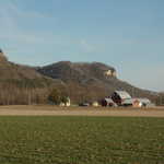
Trempealeau Mountain, which means, " the mountain whose foot is bathed in water," can be seen from the Great River Road in Wisconsin.
Public Domain.
Download Original (3564 x 2240 pixels, 987.5 KB)
-
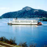
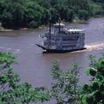
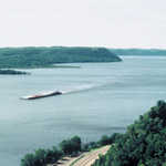
If you are lucky you may see a Riverboat, such as this one near Trempealeau, enhancing the already magnificent scenic splendor.
Public Domain.
Download Original (3517 x 2313 pixels, 1055.7 MB)
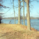
-
Towering trees offer shelter at this recreation site near Helena.
Public Domain. Photo by Dennis Adams of FHWA
Download Original (512 x 768 pixels, 571.9 KB)
-

Sunset - a special time to experience the tranquilty of "Old Man River".
Public Domain.
Download Original (3477 x 2343 pixels, 669.5 KB)
-
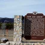
This historic marker beside the Great River Road in Wisconsin discusses the discovery and possible meanings of the unique man-made rock "art" named "Bow and Arrow."
Public Domain. Photo by S. Clyde
Download Original (3008 x 2000 pixels, 4735.8 MB)
-
Whether you think it is a bow or a bird, this arrangement of rocks on a Wisconsin hillside beside the Great River Road is an archaeological curiosity.
Public Domain. Photo by S. Clyde
Download Original (3008 x 2000 pixels, 5769.3 MB)
-

The Mississippi River passes under an arched bridge in Minneapolis, creating a polished reflection of the city.
© 2001 Minnesota Office of Tourism Library.
Download Original (279 x 432 pixels, 39.1 KB)
-

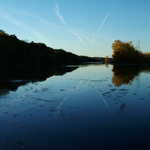
Sunset creates a reddish hue in the Mississippi headwaters.
© 2001 Minnesota Office of Tourism Library.
Download Original (432 x 280 pixels, 29.9 KB)
-

Frosty trees line the the Great River Road in winter.
© 2001 Minnesota Office of Tourism Library.
Download Original (790 x 1218 pixels, 288.2 KB)
-

Clouds surround a hillside at Great Bluffs State Park on the Minnesota Great River Road.
© 2001 Minnesota Office of Tourism Library.
Download Original (148 x 225 pixels, 16.2 KB)
-

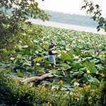
Visitors may catch glimpses of beautiful water lilies on the Great River Road, Illinois.
© 2001 Tony Dutson.
Download Original (2364 x 3466 pixels, 1183.4 MB)
-
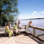
Visitors relax along the water's edge in Clinton County on the Iowa Great River Road.
Public Domain.
Download Original (716 x 491 pixels, 131.4 KB)
-
This scenic road can be found leading out of Nauvoo off the Great River Road in Illinois.
© 2001 Tony Dutson.
Download Original (200 x 136 pixels, 20.0 KB)
-
Visitors and residents alike enjoy a walk along the Mississippi Mile in Minneapolis.
© 2001 Minnesota Office of Tourism Library.
Download Original (271 x 432 pixels, 46.5 KB)
-

Visitors who drive the Great River Road at night may see a dazzling view of St. Paul, Minnesota at night.
© 2001 Minnesota Office of Tourism Library.
Download Original (432 x 280 pixels, 122.3 KB)
-
This tree covered area is located at Lake Itasca State Park on the Minnesota Great River Road.
© 2001 Minnesota Office of Tourism Library.
Download Original (146 x 225 pixels, 19.2 KB)
-

Fishermen take advantage of a beautiful day on the banks of the Great River Road.
© 2001 Minnesota Office of Tourism Library.
Download Original (432 x 288 pixels, 40.9 KB)
-
An old-fashioned riverboat floats on the Mississippi River in Minnesota.
© 2001 Minnesota Office of Tourism Library.
Download Original (251 x 432 pixels, 38.7 KB)
-
The St. Francis National Forest is the smallest national forest in the country and includes the only upland hardwood forest along Arkansas' Great River Road route. It also includes the only unpaved section of the route.
Public Domain. Courtesy of Arkansas Delta Byways and Joe Bonnette
Download Original (3552 x 2417 pixels, 7018.8 MB)
-
The Helena River Reach Park provides a close-up view of the Mighty Mississippi along The Great River Road.
Public Domain. Courtesy of Arkansas Delta Byways and Cranford Johnson Robinson Woods
Download Original (3528 x 2393 pixels, 7407.6 MB)
-
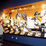
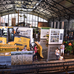
The blues music tradition of the Arkansas Delta is one of the many stories told at the Delta Cultural Center in Helena, a primary interpretive center along The Great River Road. Exhibits also tell a comprehensive story of the land and its people from prehistoric times to the present.
Public Domain. Arkansas Delta Byways: Cranford Johnson Robinson Woods
Download Original (3472 x 2401 pixels, 7260.8 MB)
-
Muscatine is one of the towns on the Iowa Great River Road.
Public Domain.
Download Original (1600 x 1200 pixels, 444.0 KB)
-
A truck approaches the town of Diamond Bluff, driving past the rock formation which gave the town its name.
Public Domain. Photo by S. Clyde
Download Original (3008 x 2000 pixels, 6176.5 MB)
-

Arkansas' Great River Road receives their designation plaque at the Designation 2002 event at Union Station in Washington DC.
 © June 2002 FHWA-NSB.
Download Original (1536 x 1024 pixels, 416.6 KB)
-
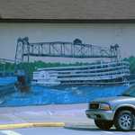
A mural on the side of Scab's Place On & Off Sale depicts a riverboat passing the Prescott Lift Bridge.
Public Domain. Photo by A. E. Crane
Download Original (3008 x 2000 pixels, 3503.4 MB)
-
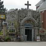
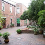
A bizarre building built of concrete faced with millions of shells, glass, rocks and other small items, the Holy Ghost Catholic Church is in Dickeyville, Wisconsin attracts worshippers and curiosity-seekers.
Public Domain. Photo by S. Clyde
Download Original (3008 x 2000 pixels, 3714.8 MB)
-

Visitors admire a mosaic wall that is part of the Holy Ghost Catholic Church.
Public Domain. Photo by S. Clyde
Download Original (2000 x 3008 pixels, 3872.0 MB)
-
A panoramic view of the Mississippi River from a blufftop at Wyalusing State Park.
Public Domain.
Download Original (3585 x 2282 pixels, 1012.7 MB)
-
A typical barn in Wisconsin on the Great River Road stands out on the edge of a field in springtime.
Public Domain. Photo by A. E. Crane
Download Original (3008 x 2000 pixels, 2449.2 MB)
-
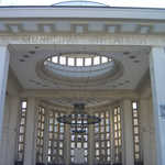
White stone makes up the front of the Opera Municipal Theatre of St. Louis
Public Domain. Daniel Araya
Download Original (1024 x 768 pixels, 341.8 KB)
-
This aerial view reveals the astonishingly large Monks Mound, located at Cahokia Mounds State Historic Site.
Public Domain. Cahokia Mounds State Historic Site
Download Original (4206 x 2496 pixels, 2372.4 MB)
-

Fireworks give off a red tint in the sky and over the Mississippi River during the riverfest at La Crosse, Wisconsin.
Public Domain. dnudson
Download Original (333 x 500 pixels, 111.0 KB)
-
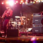
A performer jams on his guitar during River Roots Live in Davenport, Iowa.
Public Domain. BeautyofDavenport
Download Original (500 x 333 pixels, 112.1 KB)
-
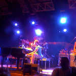
The music group, Jack's Mannequin, plays under blue lights at Riverfest in Little Rock, Arkansas.
Public Domain. Courtesy of xy0x at flickr.com
Download Original (500 x 375 pixels, 131.3 KB)
-
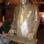
This bronze statue in Music Legends Park is of Antoine Fats Domino, a pianist and song writer for R&B and Rock n' Roll.
Public Domain. Courtesy of wallyg at Flickr.com
Download Original (333 x 500 pixels, 156.6 KB)
-
A group of hikers ends their hike at the parking lot at the end one of the summer trails mowed in the tall grass in the hills of Frontenac State Park.
Public Domain. Photo by A. E. Crane
Download Original (3008 x 2000 pixels, 1225.1 MB)
-
A cross-country trail in winter becomes a hiking trail in summer simply by mowing a path in the tall grass at Frontenac State Park.
Public Domain. Photo by A. E. Crane
Download Original (3008 x 2000 pixels, 2832.9 MB)
-
Framed by two stout oaks at Kentucky’s Columbus-Belmont State Park, the Mississippi River rolls south below the commanding bluffs of Fort DeRussey, Confederate General Leonides Polk’s “Gibralter of the South”.
Public Domain. Photo by Amy Williams HNTB
Download Original (3300 x 2200 pixels, 2474.1 MB)
-
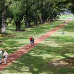
People enjoy the brick pathway that meanders through the Oak Alley Plantation grounds.
Public Domain.
Download Original (2896 x 1944 pixels, 1378.2 MB)
-

Visit Oak Alley Plantation home along the Great River Road in Vacherie, Louisiana for a taste of the antebellum South.
© March 2005 Guillermo J. Rosas.
Download Original (2848 x 2136 pixels, 1525.7 MB)
-

A foggy morning at the Oak Alley Plantation gives an eerie appearance to this restored antebellum plantation home. Live oaks—300 years old—bend over the walkway, making a pathway to the front of the home.
Public Domain.
Download Original (2048 x 1366 pixels, 782.8 KB)
-

A path of 300-year-old live oaks creates an archway to the front of Oak Alley Plantation—one of many restored antebellum homes on the Louisiana Great River Road.
Public Domain.
Download Original (2022 x 1200 pixels, 615.0 KB)
-
The Plaquemine Lock State Historic Site features the restored lockmasters structure—a two-story white building with arched windows and a walkway on the right of the building.
Public Domain.
Download Original (1800 x 1204 pixels, 1053.4 MB)
-
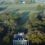
A bird’s eye view of Oak Alley shows the expansive amount of trees surrounding the plantation and the Mississippi River in the background.
Public Domain.
Download Original (1001 x 1500 pixels, 444.7 KB)
-
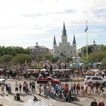
Hundreds of people, interspersed with horse-drawn carriages and vehicles, gather in Jackson Square—the heart of the French Quarter in New Orleans—to celebrate a festival. The St. Louis Cathedral looms in the distance against a sheath of cloudy sky.
Public Domain. Patrick Salisbury
Download Original (3504 x 2336 pixels, 3062.4 MB)
-

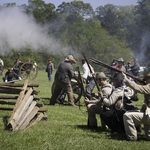
As part of a Civil War reenactment at Port Hudson State Historic Site, soldiers fire cannons across the site as spectators look on in the distance.
Public Domain. Patrick Salisbury
Download Original (1800 x 1203 pixels, 734.7 KB)
-
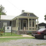
The River Road African American Museum is a one-story pewter blue home with ivory woodwork trimming the building. The museum is located in historic Donaldsonville, Louisiana.
Public Domain. David L. Dahlquist
Download Original (2016 x 1512 pixels, 1104.1 MB)
-

Two women look at interpretive exhibits at the Chalmette Battlefield and National Cemetery against a backdrop of numerous headstones, many dating back to the Civil War.
Public Domain. David L. Dahlquist
Download Original (3264 x 2448 pixels, 1968.2 MB)
-
The courtyard garden of the Jean Lafitte National Historic Park and Preserve in the French Quarter of New Orleans features a brick pathway that is sprinkled with potted plants and trees in full bloom.
Public Domain. David L. Dahlquist
Download Original (3264 x 2448 pixels, 2184.2 MB)
-
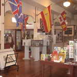
The restored West Feliciana Historical Society Museum’s gift shop displays numerous country and state flags as well as paintings of national and local artists on the wall. Information about the history of the Great River Road and visitor guides are also available.
Public Domain. Courtesy of David L. Dahlquist
Download Original (2016 x 1512 pixels, 1284.2 MB)
-
With trees hanging in the foreground, the two-story Houmas House Plantation sits majestically on a well-manicured lawn. Its columned Greek Revival exterior is topped by a belvedere that overlooks the oak-bordered yards.
Public Domain. Patrick Salisbury
Download Original (3744 x 5616 pixels, 12895.4 MB)
-

The Louisiana State Capitol stands majestically against green grass, a bright blue sky, and a few white, fluffy clouds typical of late fall weather in southern Louisiana.
Public Domain. Patrick Salisbury
Download Original (3744 x 5616 pixels, 12043.5 MB)
-
The entry to the Laura Plantation features live oak trees, plantings typical of a past era, and brightly painted details on the plantation house.
Public Domain. Patrick Salisbury
Download Original (5616 x 3744 pixels, 18500.1 MB)
-

The Old Louisiana State Capitol, known as a Gothic architectural treasure, stands surrounded by green trees and grass as the Mississippi River flows in the distance. The four-story white building was built to look and function like a castle.
Public Domain. Patrick Salisbury
Download Original (5616 x 3744 pixels, 9662.0 MB)
-
Destrehan Plantation features landscaped lawns, large broad-spreading Live Oak trees, and a beautifully restored antebellum home.
Public Domain.
Download Original (5616 x 3744 pixels, 12633.4 MB)
-

The Louisiana State Capitol Complex with its 34-story Art Deco Statehouse stands stoic against a stark blue sky, while a sign with the Great River Road Pilot Wheel logo stands in the shadows before the building.
Public Domain.
Download Original (2472 x 3296 pixels, 1011.0 MB)
-

Driving west on Liberty Street means leaving Covington town square. When Liberty Street crosses U.S. Highway 51, it becomes TN Highway 59 West.
Public Domain. Amie Vanderford
Download Original (3300 x 2200 pixels, 4101.1 MB)
-
The ramp exit to the TN Highway 88 takes visitors to Halls, TN or the Mississippi River from U.S. Highway 51 North.
Public Domain. Amie Vanderford
Download Original (3300 x 2200 pixels, 4658.1 MB)
-
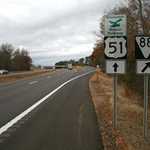
The TN Highway 88 West can be seen while driving over U.S. Highway 51.
Public Domain. Amie Vanderford
Download Original (3300 x 2200 pixels, 4453.7 MB)
-
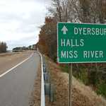
This sign for Dyersburg, Halls, and the Mississippi River can be seen driving North on U.S. Highway 51.
Public Domain. Amie Vanderford
Download Original (3300 x 2200 pixels, 5456.9 MB)
-

A view of Ft. Pillow/Henning/TN Highway 87 signage can be seen while driving north on U.S. Highway 51.
Public Domain. Amie Vanderford
Download Original (3300 x 2200 pixels, 3491.6 MB)
-
Approaching Henning, TN, on Highway 51 North, you see the exit for TN Highway 209 North and the first sign for the Alex Haley Museum.
Public Domain. Amie Vanderford
Download Original (3300 x 2200 pixels, 3905.4 MB)
-
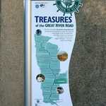
The “Treasures of the Great River Road” sign can be seen on the grounds of the Chucalissa Museum in Memphis, TN.
Public Domain. Amie Vanderford
Download Original (2200 x 3300 pixels, 5494.5 MB)
-

The U.S. Highway 51 North & TN Highway 78 North signs can be seen from U.S. Highway 51 North in Dyersburg, TN.
Public Domain. Amie Vanderford
Download Original (3300 x 2200 pixels, 3989.5 MB)
-
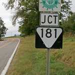
The Great River Road Tennessee Highway 181 Sign can be seen from Tennessee Highway 88 West.
Public Domain. Amie Vanderford
Download Original (2087 x 3300 pixels, 6135.3 MB)
-
The Old State Capitol sign sits next to an ornate iron fence. The Old State Capitol sits near the fence but is partially hidden by trees.
Public Domain. Patrick Salisbury
Download Original (3744 x 5616 pixels, 9985.6 MB)
-
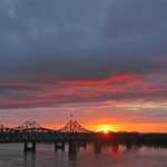
The sun sets dramatically over the Mississippi River along Mississippi’s Great River Road.
Public Domain.
Download Original (640 x 435 pixels, 95.5 KB)
-

The sun sets, creating a piercing-red blanket of clouds along the Mississippi River on Mississippi’s Great River Road.
Public Domain.
Download Original (2000 x 3008 pixels, 4110.1 MB)
-
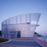
From the Tunica Riverpark’s architecturally stunning new overlook, you’ll enjoy a view of “America’s River” up close.
Public Domain.
Download Original (1800 x 1404 pixels, 450.0 KB)
-

A crowd gathers at Winterville Mounds, which is one of the largest Indian Mound groups in the Mississippi Valley.
Public Domain.
Download Original (3072 x 2048 pixels, 732.6 KB)
-

The Old Courthouse Museum, surrounded by dense, bright-green trees, houses thousands of artifacts detailing the region’s history.
Public Domain.
Download Original (1600 x 1200 pixels, 416.8 KB)
-
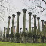
Tall pillars with ornate caps form the remains of the largest Antebellum mansion built in Mississippi.
Public Domain.
Download Original (3008 x 2000 pixels, 5145.5 MB)
-
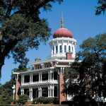
Longwood, the largest octagonal house in North America, stands grandly with captivating architecture in picturesque Natchez, Mississippi.
Public Domain.
Download Original (1152 x 1536 pixels, 495.6 KB)
-

Gumbo is a traditional dish in both Cajun and Creole cuisine. Here it is made with shrimp, smoked sausage and traditional vegetables served over rice.
© 2009 benfrank.
Download Original (1000 x 669 pixels, 426.4 KB)
-

Po' boys are a traditional Louisiana food that take their name from unemployed customers in the Great Depression who could afford little else.
 © Gail Evans.
Download Original (500 x 332 pixels, 129.3 KB)
-

Shops in New Orleans often serve this chicory coffee with milk and traditional French-style doughnut with powdered sugar.
© New Orleans Tourism Marketing Corporation.
Download Original (1573 x 1018 pixels, 238.5 KB)
-

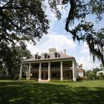
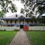
Fronted by tall white columns, Nottoway Plantation House sits beneath a canopy of thick clouds.
© 2010 Kay Gaensler.
Download Original (1500 x 999 pixels, 977.0 KB)
-
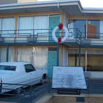
A wreath on the balcony of the Lorraine Motel marks the spot where Dr. Martin Luther King, Jr., was shot and killed on April 4th, 1968. The motel has been preserved and now stands as part of the National Civil Rights Museum.
Public Domain. Courtesy of the National Civil Rights Museum
Download Original (806 x 605 pixels, 414.3 KB)
-

Indoors at the National Civil Rights Museum stands a recreation of the bright yellow Montgomery city bus where Rosa Parks defied the city's segregated bus transport policy.
Public Domain. Courtesy of the National Civil Rights Museum
Download Original (720 x 573 pixels, 436.6 KB)
-
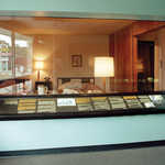
A window looks into Room 306, the motel room where Dr. Martin Luther King, Jr. was staying. Interpretive panels before the window describe the events of that day.
Public Domain. Courtesy of the National Civil Rights Museum
Download Original (1500 x 1158 pixels, 1808.6 MB)
-

A life-sized display shows four African-American college students sitting at a Woolworth's lunch counter, in a peaceful protest against being denied service due to segregation policies.
Public Domain. Courtesy of the National Civil Rights Museum
Download Original (2550 x 1620 pixels, 1347.1 MB)
-

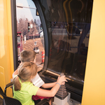
Two kids examine the bright red sweet peppers on a table at a farmer's market in St. Paul, Minnesota.
© August 2003 Kenneth Duril.
Download Original (1024 x 768 pixels, 201.9 KB)
-

A flock of pelicans wade in the calm waters of the Great River National Wildlife Refuge.
 © February 2012 U.S. Fish & Wildlife Service.
Download Original (640 x 427 pixels, 135.7 KB)
-
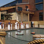
Model boats float in the water before visitors in an outdoor pond.
© 2008 Iowa Tourism Office.
Download Original (1200 x 1619 pixels, 1125.9 MB)
-
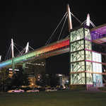
A brightly lit sky bridge stands over River Drive in Davenport, IA.
© 2010 Iowa Tourism Office.
Download Original (1200 x 800 pixels, 842.7 KB)
-
Hikers zig zag on their way up the winding trail of Snake Alley.
© 2007 Iowa Tourism Office.
Download Original (1385 x 1588 pixels, 3413.5 MB)
-
A bridge spans across the Mississippi River during late sunset.
© 2003 Iowa Tourism Office.
Download Original (3072 x 2048 pixels, 2537.9 MB)
-

A delicious burger and fries sit on a wrapper from the famous Muscatine Maid-Rite Restaurant.
© 2008 Iowa Tourism Office.
Download Original (2832 x 2128 pixels, 3010.8 MB)
-

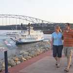
Travelers stand happily on the Pearl Button Boat at dusk awaiting their ride on the river.
© 2011 Iowa Tourism Office.
Download Original (2100 x 1383 pixels, 1712.3 MB)
-
A trail overlooks the valley below and is covered by fall leaves.
© 2007 Iowa Tourism Office.
Download Original (2048 x 1360 pixels, 3350.0 MB)
-

Kayakers race across the water of the Mississippi River in their colorful life-jackets.
© 2012 Quad Cities Convention and Visitors Bureau.
Download Original (2530 x 2024 pixels, 3000.8 MB)
-
The Mississippi River runs through the town of Lansing, IA flocked by colorful trees.
© 2007 Iowa Tourism Office.
Download Original (2589 x 1717 pixels, 6252.4 MB)
-

The comfortable lobby of a hotel in Dubuque, IA welcomes visitors to its spacious interior.
© 2009 Dubuque Convention and Visitors Bureau .
Download Original (3456 x 2304 pixels, 4980.6 MB)
-
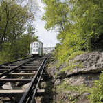
Traveling up the tracks, the Fenelon Place Elevator taxis passengers up the hill.
© 2007 Iowa Tourism Office.
Download Original (2400 x 1607 pixels, 4885.4 MB)
-
A couple walks arm in arm on the boardwalk along the Mississippi River.
© 2010 Iowa Tourism Office.
Download Original (1747 x 1162 pixels, 1302.0 MB)
-
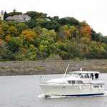
A boat cruises past a hill covered with colorful autumn trees.
© 2009 Iowa Tourism Office.
Download Original (2592 x 1944 pixels, 2644.8 MB)
-
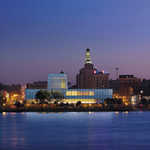
The city of Dubuque sits peacefully across the Mississippi River flanked by the lit up Figge Art Museum.
© 2009 Iowa Tourism Office.
Download Original (1200 x 900 pixels, 363.5 KB)
-

Children play in the water of an indoor fun park.
© 2010 Iowa Tourism Office.
Download Original (2848 x 2136 pixels, 3111.9 MB)
-

Quaint businesses in historic houses line Bluff Street in Dubuque, Iowa.
© 2009 Dubuque Convention and Visitors Bureau.
Download Original (4992 x 3320 pixels, 7279.9 MB)
-

The glamorous hotel room of a Burlington Hotel beckons to tourists and travelers alike.
© 2008 Iowa Tourism Office.
Download Original (2560 x 1920 pixels, 3382.4 MB)
-
Crowds line the boardwalk at the Americans River Festival along the Mississippi River.
© 2011 Dubuque Convention and Visitors Bureau.
Download Original (2592 x 1944 pixels, 3651.1 MB)
-
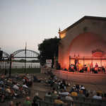
Crowds gather around a stage to listen to the music of the Bix Festival
© 2011 Iowa Tourism Office.
Download Original (1200 x 800 pixels, 898.8 KB)
-

Two friends receive a relaxing massage.
© 2008 Iowa Tourism Office.
Download Original (1920 x 2560 pixels, 3687.8 MB)
-
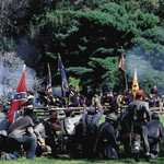
Civil War re-enactors recreate a battle scene amidst cannon smoke in Keokuk, IA.
© 2007 Iowa Tourism Office.
Download Original (1876 x 1249 pixels, 2498.3 MB)
-
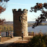
A tower stands as a remnant of the early 18th century fur trade.
© 2007 Iowa Tourism Office.
Download Original (2231 x 3347 pixels, 4440.1 MB)
-
This is a photograph of the Samuel Gibson House, home to the Port Gibson-Claiborne County Chamber of Commerce.
Public Domain.
Download Original (903 x 591 pixels, 356.4 KB)
-

The Old Warren County Courthouse built in the Greek Revival style in the 19th century, is now the home of the Eva Davis Museum.
Public Domain.
Download Original (270 x 360 pixels, 111.2 KB)
-
This image shows one of the many interesting features of the Clarks Creek Natural Area.
Public Domain.
Download Original (322 x 243 pixels, 23.6 KB)
-
A visitor wades out among waist high water lilies on the Great River Road in Illinois.
© 2001 Tony Dutson.
Download Original (200 x 153 pixels, 26.0 KB)
-
When touring Nauvoo, visitors will find inviting streets with historic buildings and places. This picture displays Jonathan Browning's home and gun shop.
© 2001 Tony Dutson.
Download Original (200 x 136 pixels, 21.8 KB)
-
Evidence of the craftmanship of the Latter Day Saint culture can be found throughout Nauvoo.
© 2001 Tony Dutson.
Download Original (200 x 136 pixels, 17.8 KB)
-
Visitors sit inside Nauvoo's Blacksmith shop to listen to a volunteer give information about tools and procedures.
© 2001 Tony Dutson.
Download Original (200 x 136 pixels, 18.6 KB)
-

A view of the Mississippi River from the Great River Road.
© 2001 Minnesota Office of Tourism Library.
Download Original (432 x 281 pixels, 32.9 KB)
-
Docked boats on the banks of the river in Redwing, Minnesota.
© 2001 Minnesota Office of Tourism Library.
Download Original (432 x 283 pixels, 42.7 KB)
-
Orange maples line the banks of the Mississippi River near Minneapolis during the fall.
© 2001 Minnesota Office of Tourism Library.
Download Original (388 x 254 pixels, 34.3 KB)
-
Fall creates a scenic illumination at Great Bluffs State Park on the Minnesota Great Rive Road.
© 2001 Minnesota Office of Tourism Library.
Download Original (144 x 225 pixels, 28.3 KB)
-
The River Walk in Guttenberg, IA, lies surrounded by the calm waters of the Mississippi, green grass, and trees.
Public Domain.
Download Original (1600 x 1200 pixels, 403.5 KB)
-
A riverboat provides an alternative way of viewing the amazing fall foliage.
Public Domain.
Download Original (404 x 265 pixels, 87.7 KB)
-

A byway informamtion center that might be in Alton, Illinios.
Public Domain.
Download Original (200 x 133 pixels, 19.4 KB)
-

Historic Fort Snelling is located in Minneapolis on the Great River Road.
© 2001 Minnesota Office of Tourism Library.
Download Original (360 x 297 pixels, 34.5 KB)
-
The byway passes along the side of the pale blue river.
Public Domain.
Download Original (447 x 344 pixels, 68.0 KB)
-
Limestone Bluffs are prominent along the Wisconsin Great River Road.
Public Domain.
Download Original (2548 x 1719 pixels, 484.4 KB)
-
A barge drives past Diamond Bluff on the Mississippi River.
Public Domain. Photo by S. Clyde
Download Original (3008 x 2000 pixels, 4742.5 MB)
-
This gravel road leading off into the distance takes tourists on a short, scenic drive to see the different types of forests and wetlands on the Wapanocca National Wildlife Refuge.
Public Domain. Photo submitted by Mary Beth Seibert
Download Original (640 x 480 pixels, 45.0 KB)
-
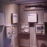
This is one of the exhibits available at the Wapanocca Visitor Center at Wapanocca National Wildlife Refuge.
Public Domain. Photo submitted by Mary Beth Seibert
Download Original (640 x 480 pixels, 31.3 KB)
-
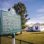
The original Cash home in Dyess has been fully restored
as it was when the family arrived in 1935. The home is
surrounded by agricultural crops. The 5-room house was
home to Johnny Cash from the ages of 3 to 18.© Arkansas Tourism.
Download Original (2100 x 1575 pixels, 2541.7 MB)
-
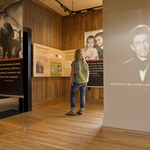
Historic Dyess Colony: Johnny Cash Boyhood Home
features exhibits of the Arkansas native's early life and
career© Arkansas Tourism.
Download Original (2100 x 1398 pixels, 1603.3 MB)
-
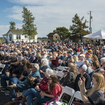
The Johnny Cash Heritage Festival is held every October
in Dyess, featuring a concert held in the cotton field beside
The Man in Black's childhood home.© Arkansas Tourism.
Download Original (2100 x 1402 pixels, 2424.5 MB)
-

Wilson's beautiful downtown square features Tudor architecture
© Arkansas Tourism.
Download Original (2100 x 1402 pixels, 2478.8 MB)
-
Hampson Archeological Museum State Park
maintains an amazing collection of artifacts from the
Nodena Site, a former Native American village on the
Mississippi River between 1400 and 1650Public Domain.
Download Original (2100 x 1402 pixels, 2139.7 MB)
-

Wilson Cafe features a variety of Southern specialties
daily as well as mouth-watering homemade desserts.© Arkansas Tourism.
Download Original (2100 x 1402 pixels, 1886.4 MB)
-
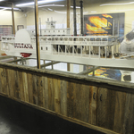
The Sultana Disaster Museum's
centerpiece is a scale model of the
historic ship© Arkansas Tourism.
Download Original (2100 x 1395 pixels, 1697.4 MB)
-
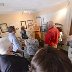
Visitors to the Sultana Disaster
Museum learn about America's
worst maritime disaster from
knowledgeable docents© Arkansas Tourism.
Download Original (2100 x 1402 pixels, 1689.3 MB)
-
The Big River Crossing is the country’s longest active
rail/bicycle/pedestrian bridge spanning the Mighty Mississippi
River, connecting West Memphis to downtown Memphis.© Arkansas Tourism.
Download Original (2100 x 1398 pixels, 3096.8 MB)
-
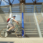
Walk, jog or bike across the Mississippi River on the Big River
Crossing, taking in views of the mighty stream most have never
seen before.© Arkansas Tourism.
Download Original (2100 x 1398 pixels, 3311.1 MB)
-
For bicyclists, ride the Mississippi River Levee from West
Memphis to Marianna on the Big River Trail.© Arkansas Tourism.
Download Original (2100 x 1398 pixels, 2669.0 MB)
-
Arkansas's Great River Road gives travelers the opportunity to experience the history and
culture of the Arkansas Delta. At Lakeport Plantation, visitors can experience the past at Arkansas's only remaining
plantation on the river. In the background is the Greenville Bridge, one of the longest cable-stayed bridges in North
America.© Arkansas Tourism.
Download Original (3600 x 2400 pixels, 8727.1 MB)
-

Marianna's downtown in on the National Register
of Historic Places and includes part of the town's
original brick streets and the beautiful county
courthouse. The courthouse, built in 1890 and
expanded in 1936, features Colonial Revival and
Art Deco stylings.© Arkansas Tourism.
Download Original (3600 x 2403 pixels, 2172.6 MB)
-

Jones Bar-B-Q diner in Marianna is Arkansas's
first James Beard award-winning restaurant and
the oldest continuously operated African American
restaurant in the South.Their barbecue
sandwiches feature smoked pork on fresh white
bread with tangy vinegar sauce and their "secret
recipe" coleslaw.© Arkansas Tourism.
Download Original (4256 x 2832 pixels, 7930.8 MB)
-
Picturesque Bear Creek Lake is located within the
Mississippi River State Park and the St. Francis
National Forest. The 625-acre lake draws anglers
from across the region.© Arkansas Tourism.
Download Original (2100 x 1398 pixels, 3241.0 MB)
-

Gunsmoke and the sounds of cannon blasts, rifle fire, hoofbeats, clashing swords and marching Union and Confederate soldiers rise into the autumn sky as the Battle of Belmont is reenacted at Columbus-Belmont State Park. This battle initiated the opening of the Union campaign to win the strategic Mississippi River.
Public Domain. Mississippi River Parkway Commission
Download Original (1000 x 667 pixels, 161.4 KB)
-

A Native American village once occupied the site of Wickliffe Mounds, about A.D. 1100 to 1350. Here, people of
the Mississippian culture built earthen mounds and permanent houses around a central plaza overlooking the
Mississippi River.Public Domain. Kentucky Tourism, Arts and Heritage Cabinet
Download Original (1000 x 228 pixels, 85.9 KB)
-
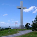
The Wickliffe Cross is 95 feet tall metal cross that is perched on a bluff overlooking the confluence of the Ohio and Mississippi Rivers.
Public Domain. Kentucky Mississippi River Parkway Commission
Download Original (1080 x 765 pixels, 139.5 KB)
-

Gunsmoke and the sounds of cannon blasts, rifle fire, hoofbeats, clashing swords and marching Union
and Confederate soldiers rise into the autumn sky as the Battle of Belmont is reenacted at Columbus-
Belmont State Park. This battle initiated the opening of the Union campaign to win the strategic Mississippi River.Public Domain. Kentucky Mississippi River Parkway Commission
Download Original (1000 x 667 pixels, 161.4 KB)
-

Abundant over most of the northern hemisphere, the Mallard is the most familiar wild duck to many people, and the ancestor of most strains of domesticated ducks. The ancestral wild Mallard is a trim, elegant, wary, and fast-flying bird.
Public Domain. Kentucky Mississippi River Parkway Commission
Download Original (1080 x 608 pixels, 150.9 KB)
-

The Interior Least Tern (Sternula antillarum) is the smallest of the terns found in North America. Meriwether Lewis and William Clark recorded their first observation of an Interior Least Tern on August 5, 1804 along the Missouri River, near present day Omaha, Nebraska while on their 1803—1805 “Voyage of Discovery” across North America.
Public Domain. Royalty Free
Download Original (725 x 544 pixels, 25.1 KB)
-

During the winter months, waterfowl can be seen daily. An astonishing amount of mallards can be viewed, along with a variety of other species, such as blue and green-winged teal, pintail, gadwall, widgeon. Other waterfowl can be seen in the more open areas of the lake, such as the bufflehead, lesser scaup, ringnecked duck and common goldeneye.
Public Domain. US Fish and Wildlife Service
-

Beautiful color and depth of the Mississippi from Fire Point at Effigy Mounds National Monument.
Public Domain. NPS photo by Eaton Coté
Download Original (5472 x 3648 pixels, 13214.4 MB)
-
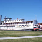
George M Verity Paddle Boat view from the side looking toward the Mississippi
Public Domain. George M Verity
-
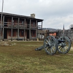
Living History Living
Quarters Old Fort MadisonPublic Domain. Paula Mayer
Download Original (4656 x 3492 pixels, 6282.2 MB)
-
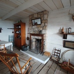
Old Fort Madison Living History Inside Quarters
Public Domain. Paula Mayer
Download Original (4160 x 3120 pixels, 3637.9 MB)
-

Heritage Center Museum in Burlington Iowa
Public Domain. Heritage Center Museum
Download Original (1481 x 968 pixels, 258.9 KB)
-
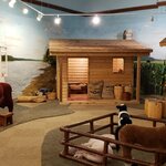
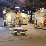
Interactive Center log cabins and animals Heritage Center Museum life on the Mississippi in the early days
Public Domain. Heritage Center Museum
Download Original (2016 x 980 pixels, 334.3 KB)
-
View of the Mississippi downtown Burlington
Public Domain. Heritage Center Museum
Download Original (2016 x 1512 pixels, 306.0 KB)
-
Toolesboro Welcome Center and entrance to Hopewellian Indian Mounds
Public Domain. Toolesboro Indian Mounds
-
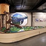
Muscatine History and Industry Center finished products of beautiful buttons
Public Domain. Paula Mayer
Download Original (4656 x 3492 pixels, 6286.5 MB)
-
Muscatine History and Industry Center used shells used in button making
Public Domain. Paula Mayer
Download Original (4656 x 3492 pixels, 5844.6 MB)
-
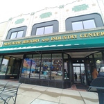
Muscatine History and Industry Center Building
Public Domain. Paula Mayer
Download Original (4160 x 3120 pixels, 3816.4 MB)
-
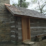
Original Log Cabin from the 1800s at Wildcat Den State Park
Public Domain. Friends of the Mill | Tom Hanifan
Download Original (3264 x 2448 pixels, 3078.8 MB)
-
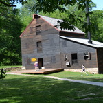
Pine Creek Grist Mill one of two working mills between the Mississippi and the Rockies circa 1800s
Public Domain. Friends of the Mill | Tom Hanifan
Download Original (4608 x 3072 pixels, 3664.3 MB)
-
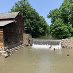
Swimmers enjoying Summer Fun at Pine Creek Grist Mill
Public Domain. Friends of the Mill | Tom Hanifan
Download Original (4032 x 3024 pixels, 5495.5 MB)
-
Nahant Marsh offers hands on experience and programs for all ages
Public Domain. Paula Mayer
Download Original (4656 x 3492 pixels, 5361.7 MB)
-
Panoramic View of Nahant Marsh
Public Domain. Paula Mayer
Download Original (6848 x 3776 pixels, 6479.2 MB)
-
The beauty of Nahant Marsh off the site pier
Public Domain. Paula Mayer
Download Original (4656 x 3492 pixels, 6606.5 MB)
-

Exterior of the Putnam Museum and Science Center featuring history and natural science, and science center
Public Domain. Paula Mayer
Download Original (4656 x 3492 pixels, 4666.6 MB)
-
Buffalo Bill Regional History Museum entrance featuring paddle wheel
Public Domain. Robert Schiffke
Download Original (3264 x 2448 pixels, 2632.5 MB)
-
_sq.jpg)
Buffalo Bill Regional History Museum offers wild west history, period attire, artifacts, The Lone Star boat, and school room replica
Public Domain. Robert Schiffke
Download Original (3264 x 2448 pixels, 2603.9 MB)
-
The Lone Star Stern Wheeler is the only surviving example in the United States of a wooden-hulled boat built in the 1800s
Public Domain. Robert Schiffke
Download Original (3264 x 2448 pixels, 2008.3 MB)
-
Mississippi River Eco Tourism Center entrance to river wonders
Public Domain. Paula Mayer
Download Original (4160 x 3120 pixels, 4180.8 MB)
-
River view from the Mississippi River Eco Tourism Center
Public Domain. Paula Mayer
Download Original (4160 x 3120 pixels, 3446.2 MB)
-
Sawmill Museum History and Art
Public Domain. Sawmill Museum
Download Original (4032 x 3024 pixels, 3160.5 MB)
-
Sawmill Museum offers interactive log cabins that mimic those used during the logging days.
Public Domain.
Download Original (4032 x 3024 pixels, 4583.3 MB)
-

Sawmill Museum offers interactive log cabins that mimic those used during the logging days.
Public Domain. Sawmill Museum
Download Original (4032 x 3024 pixels, 4583.3 MB)
-
Sawmill Museum's interactive water feature showcasing how logs traveled down river.
Public Domain. Sawmill Museum
Download Original (4032 x 3024 pixels, 2907.9 MB)
-
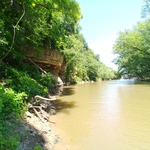
Beautiful view of Catfish Creek just east of launch dock
Public Domain. Paula Mayer
Download Original (4160 x 3120 pixels, 6004.9 MB)
-
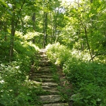
Hiking trail incline one half mile from Julien Dubuque Monument
Public Domain. Paula Mayer
Download Original (4656 x 3492 pixels, 9032.4 MB)
-
The Julien Dubuque Monument overlooking the banks of the Mississippi River at Catfish Creek
Public Domain. Paula Mayer
Download Original (4160 x 3120 pixels, 5462.7 MB)
-
From beginning to end is explained about the history and significance of the Mississippi River
Public Domain. Paula Mayer
Download Original (4160 x 3120 pixels, 3655.2 MB)
-
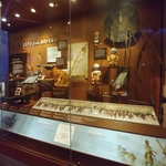
Life from Rivers exhibit at the National Mississippi River Museum & Aquarium
Public Domain. Paula Mayer
Download Original (4160 x 3120 pixels, 3702.2 MB)
-
Mississippi River indigenous fish and wildlife for all visitors to view
Public Domain. Paula Mayer
Download Original (4160 x 3120 pixels, 4397.1 MB)
-
Guttenberg_Fish Hatchery View of Lock and Dam 10
Public Domain. Guttenberg Fish Hatchery
Download Original (2256 x 1504 pixels, 1832.5 MB)
-
The Guttenberg Fish Hatchery The Landing
Public Domain. Guttenberg Fish Hatchery
Download Original (4032 x 3024 pixels, 1107.0 MB)
-
The Guttenberg Fish Hatchery The Landing
Public Domain. Guttenberg Fish Hatchery
Download Original (4032 x 3024 pixels, 3291.7 MB)
-
Mississippi River view from Effigy Mounds National Monument at Fire Point
Public Domain. NPS photo by Eaton Coté
Download Original (3600 x 2372 pixels, 7201.6 MB)
-
View of the Mighty Mississippi through June foliage
Public Domain. Effigy Mounds
Download Original (2256 x 1504 pixels, 2734.6 MB)
-
Tangled tree along the trail at Effigy Mounds makes for interesting views
Public Domain. Effigy Mounds
Download Original (2256 x 1504 pixels, 2573.0 MB)
-
On the trail after a hard rain.
Public Domain. Driftless Education Center
-
Driftless Education Center | Allamakee County
Public Domain. Driftless Education Center
Download Original (1165 x 746 pixels, 202.6 KB)
-

Kayaking on the Mississippi
Public Domain. Travel Iowa
Download Original (2127 x 1400 pixels, 3064.5 MB)
-
A visitor takes in the expansive river view as they drive the Great River Road. Winding along the Mississippi River for the entire 557-mile western border of Illinois, the vast reaching shores of the river are set against a backdrop of forested bluffs.
Public Domain. Great Rivers Country
Download Original (2704 x 1520 pixels, 2193.3 MB)
-

Jail Hill Inn, Tripadvisor’s #1 Bed and Breakfast in the U.S. and #2 in the world in 2019, is a 135-year-old building which served as the county jail for almost 100 years. The renovation preserved elements like the original curved brick ceiling and 9-foot-tall windows.
Public Domain. Great Rivers Country
Download Original (3147 x 2100 pixels, 4961.2 MB)
-
A pedestrian bridge over the Galena River connects Main Street with Grant Park. The brick homes and storefronts of Galena look much as they did between 1820 and 1930, when it was a booming lead mining town and one of the largest steamboat hubs on the Mississippi River.
Public Domain. Great Rivers Country
Download Original (3147 x 2100 pixels, 5485.9 MB)
-
Historic Main Street Galena, curving into the surrounding hills, is filled with more than 100 red brick storefronts which look much like they did during the Civil War. Today those storefronts have been repurposed as boutique shops and restaurants.
Public Domain. Great Rivers Country
Download Original (3147 x 2100 pixels, 4966.4 MB)
-
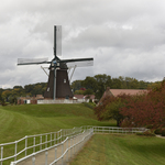
De Immigrant Windmill, standing atop the levee in Fulton with the Mark Morris Bridge and Clinton, IA, in the distance. It stands sentinel over the Mississippi River and the Great River Trail, which bikers and pedestrians can travel between Savanna and the Quad Cities.
Public Domain. Great Rivers Country
Download Original (3147 x 2100 pixels, 4987.0 MB)
-
De Immigrant Windmill, an authentic Dutch windmill, stands atop the levee with the Windmill Cultural Center behind it. Visitors can explore the windmill and purchase flours ground by the mill and view more than 20 model windmills in the Windmill Cultural Center.
Public Domain. Great Rivers Country
Download Original (3147 x 2100 pixels, 4235.1 MB)
-
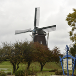
De Immigrant Windmill is an authentic Dutch Windmill which was assembled in the Netherlands then transported and reassembled in Fulton. It stands atop the levee amid ornamental trees showing a bounty of early fall color.
Public Domain. Great Rivers Country
Download Original (3147 x 2100 pixels, 5003.9 MB)
-
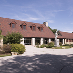
Exterior of Watch Tower Lodge, built from large timbers and native limestone, which houses the John Hauberg Indian Museum that tells the story of the Sauk and Meskwaki people and Sauk warrior Black Hawk.
Public Domain. Great Rivers Country
Download Original (3147 x 2100 pixels, 5836.5 MB)
-
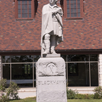
This 1892 stone statue of Sauk warrior Black Hawk is prominently placed in front of the Watch Tower Lodge at Black Hawk State Historic Site.
Public Domain. Great Rivers Country
Download Original (2100 x 3147 pixels, 6015.7 MB)
-
A winding, tree lined trail through Black Hawk State Historic Site allows visitors to explore the nature preserve and Rock River.
Public Domain. Great Rivers Country
Download Original (2100 x 3147 pixels, 6317.6 MB)
-
At the John Deere Pavilion visitors test their skills in a state-of-the-art simulator like the ones customers train in before tackling projects at the job site.
Public Domain. Great Rivers Country
Download Original (2100 x 3147 pixels, 3386.6 MB)
-

More than 180 years of John Deere history are represented at the John Deere Pavilion. John Deere, who used his skills as a blacksmith to change the face of farming with his self-scouring steel plow, turned his invention into one of the most successful manufacturing companies in the world.
Public Domain. Great Rivers Country
Download Original (3147 x 2100 pixels, 4998.8 MB)
-
Inside John Deere Pavilion visitors can sit in the cab of a giant combine or bulldozer, and view historic tractors alongside ideas for the future.
Public Domain. Great Rivers Country
Download Original (3147 x 2100 pixels, 5232.8 MB)
-
The reconstructed Nauvoo Temple sits in the center of town atop a bluff overlooking the mighty Mississippi River. The building’s all white exterior contains hand carved sunstones and moonstones, each one distinctly unique, displayed at the top and bottom of the pilasters.
Public Domain. Great Rivers Country
Download Original (3150 x 2100 pixels, 5529.7 MB)
-
The Historic Nauvoo Visitors Center honors the faith, courage, and industry of Mormon pioneers. Exhibits include a carved sunstone, a relief map of Nauvoo, and displays on the history of Nauvoo and the exodus.
Public Domain. Great Rivers Country
Download Original (3147 x 2100 pixels, 4157.8 MB)
-
The Browning Home and Gunsmith Shop is one of the many reconstructed historic buildings in Nauvoo. Tour the site to learn about the humble beginnings of the Browning Arms Corporation and see rifles, handguns, and shotguns from the early 1800s.
Public Domain. Great Rivers Country
Download Original (3147 x 2100 pixels, 6020.4 MB)
-
Villa Kathrine, a Mediterranean style home built in 1900 on the bluffs overlooking the Mississippi River, is surrounded by flowering shrubs in the summer months.
Public Domain. Great Rivers Country
Download Original (3147 x 2100 pixels, 4665.5 MB)
-
The John Wood Mansion, festooned with red, white and blue bunting, is one of the Midwest’s finest examples of Greek revival architecture. The four large Doric columns in front were lathed by John Wood, Illinois’ 12th Governor, specifically for incorporation in the home.
Public Domain. Great Rivers Country
Download Original (2100 x 3137 pixels, 4661.0 MB)
-

The Quincy Museum, also known as the Newcomb-Stillwell Mansion, was built in the Richardson Romanesque Revival Style. The buff colored Berea Sandstone contains extensive ornamental carvings. The seven pillars supporting the porch roof each have a capital with a unique design.
Public Domain. Great Rivers Country
Download Original (3137 x 2100 pixels, 5141.9 MB)
-
A white and green lighthouse is situated on the natural banks of the Mississippi River near Elsah. It stands in front of one of the limestone bluffs it would have warned riverboat captains to avoid when the town was a thriving steamboat stop along the Mississippi River.
Public Domain. Great Rivers Country
Download Original (3147 x 2100 pixels, 6132.7 MB)
-
The Village of Elsah Museum is in the old Elsah Village Hall, built in 1887. It houses exhibits on the history of Elsah, its residents, and businesses, along with photos of the architectural styles common throughout the town.
Public Domain. Great Rivers Country
Download Original (2940 x 2100 pixels, 5897.2 MB)
-

The village of Elsah was established to support a nearby stone quarry. Lots in Elsah were offered for free to anyone who would build a home in stone. The irregular shaped stones, used in the houses in Elsah, were rubble or discarded pieces and add to the town’s rustic charm.
Public Domain. Great Rivers Country
Download Original (3147 x 2100 pixels, 7245.9 MB)
-
The Lewis & Clark State Historic Site Interpretive Center focuses on the expedition’s winter encampment at Camp River Dubois and the departure of the Corps of Discovery. The exhibits contain excerpts from Lewis & Clark’s journals and statue of Captains Clark & Lewis with Lewis’s Newfoundland, Seaman.
Public Domain. Great Rivers Country
Download Original (3147 x 2100 pixels, 3888.7 MB)
-
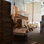
The highlight of Lewis & Clark State Historic Site, the first stop on the Lewis & Clark National Historic Trail, is the magnificent, 55-foot, full scale replica of the expedition’s keelboat. The cutaway shows what conditions would have been like aboard, with containers of supplies stored throughout.
Public Domain. Great Rivers Country
Download Original (3147 x 2100 pixels, 3854.1 MB)
-
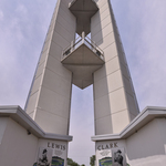
Built to celebrate the bicentennial of the Lewis & Clark Expedition, the Lewis & Clark Confluence Tower offers 3 viewing platforms and magnificent views of Hartford, the confluence of the Mississippi and Missouri rivers, and the launch point of the Corps of Discovery’s expedition.
Public Domain. Great Rivers Country
Download Original (2100 x 3996 pixels, 5011.2 MB)
-
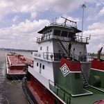
More than 6,500 boats lock through Melvin Price Locks and Dam each year. Barges, carry more than 55 million tons of goods up and down the Mississippi River. Each barge can carry the equivalent of 225 train cars or 870 semitrailers.
Public Domain. Great Rivers Country
Download Original (2100 x 3147 pixels, 3926.8 MB)
-
Exhibits in the National Great Rivers Museum discuss the history of the Mississippi River and its impact on civilization, from early Native Americans to steamboat captains, and the present day lives of those who live and work near the river.
Public Domain. Great Rivers Country
Download Original (3147 x 2100 pixels, 4575.6 MB)
-
The National Great Rivers Museum, at Melvin Price Locks and Dam, is dedicated to telling the story of the Mississippi River, from her grand history and cultural significance, to her ecological importance and role as a transportation corridor.
Public Domain. Great Rivers Country
Download Original (3147 x 2100 pixels, 5291.3 MB)
-

The exterior of the Cahokia Mounds Interpretive Center, which houses the museum exhibits depicting the largest pre-Columbian settlement north of Mexico, a life-size village recreation, an orientation theater, auditorium, and museum gift shop.
Public Domain. Great Rivers Country
Download Original (3137 x 2100 pixels, 4184.8 MB)
-
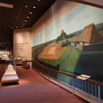
The interior of the Cahokia Mounds museum contains a large mural depicting what Monks Mound and the plaza may have looked like during Cahokia’s height between 700 and 1400 A.D.
Public Domain. Great Rivers Country
Download Original (2800 x 2100 pixels, 3610.2 MB)
-
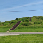
Monks Mound, the largest prehistoric earthen mound in the Americas, is one of 70 of the original 120 earthen mounds built by the prehistoric Native Americans who lived at Cahokia. Visitors can climb the staircase to the top of the terraced mound, almost 100 feet high.
Public Domain. Great Rivers Country
Download Original (2800 x 2100 pixels, 3483.9 MB)
-
A sign sits in front of Cahokia Courthouse that describes the courthouse as one of the region’s oldest buildings and its unusual, upright, hewn log construction. Called post-on-sill, this technique was characteristic of French Colonial era timber construction.
Public Domain. Great Rivers Country
Download Original (3137 x 2100 pixels, 5347.8 MB)
-
Cahokia Courthouse, built using upright, hewn logs typical of French Colonial timber construction, was a courthouse from 1790-1814 and is now home to a museum.
Public Domain. Great Rivers Country
Download Original (3137 x 2100 pixels, 5459.2 MB)
-
An exhibit found inside Cahokia Courthouse describes the rise of the U.S. Postal Service as settlers spread across North America.
Public Domain. Great Rivers Country
Download Original (3137 x 2100 pixels, 3429.8 MB)
-
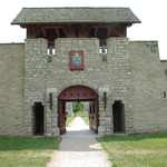
The reconstructed stone gatehouse of the last of three French forts named “de Chartres” built here, stands tall along with a portion of the 15- foot walls. Originally erected in the 1750s it was used by the French, followed by the British, until 1772. The gate was rebuilt in the 1920s.
Public Domain. Great Rivers Country
Download Original (3137 x 2100 pixels, 3752.4 MB)
-
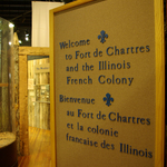
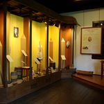
A sign inside the Fort de Chartres museum which welcomes visitors to Fort de Chartres and the Illinois French Colony in English and French. Built on the foundation of an original fort building, the museum depicts French life at Fort de Chartres.
Public Domain. Great Rivers Country
Download Original (2100 x 3137 pixels, 3923.8 MB)
-
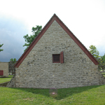
The restored powder magazine at Fort de Chartres is thought to be the oldest standing building in Illinois.
Public Domain. Great Rivers Country
Download Original (3137 x 2100 pixels, 3979.1 MB)
-
The Pierre Menard Home, built in the Creole style, is characterized by gable ends and a galerie along the front façade. Also visible is the historic herb and vegetable garden.
Public Domain. Great Rivers Country
Download Original (3150 x 2100 pixels, 6556.0 MB)
-
The Pierre Menard Home is an example of the Southern French Colonial or Creole style and is characterized by the galerie, or porch, that runs along the front façade. Pierre Menard was the first lieutenant governor of Illinois.
Public Domain. Great Rivers Country
Download Original (3150 x 2100 pixels, 6357.4 MB)
-
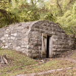
The stone springhouse, on the grounds of the Pierre Menard Home, would have originally been used to keep the spring water clear of fallen leaves and animals. The building would also have been used for refrigeration, as the spring would keep the structure a constantly cool temperature throughout the year.
Public Domain. Great Rivers Country
Download Original (3150 x 2100 pixels, 7399.5 MB)
-
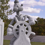
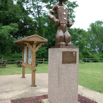
Chester is home to Popeye creator Elzie Segar. To celebrate its status as the home of Popeye, Chester has created the Popeye Character Trail, which includes stone statues of various Popeye characters, including this one of Poopdeck Pappy.
Public Domain. Great Rivers Country
Download Original (2100 x 3150 pixels, 4601.5 MB)
-

The first statue on the Popeye Character Trail is Popeye, located at the Chester Welcome Center. The Welcome Center is located next to the Chester Bridge, has a viewing deck overlooking the Mississippi River, and offers visitors information on the Popeye Character Trail and the Great River Road.
Public Domain. Great Rivers Country
Download Original (2100 x 3147 pixels, 6857.7 MB)
-
A bronze statue of Popeye the Sailor Man sits in Segar Park, named after Popeye creator Elzie Segar. For 30 years the statue has stood overlooking the Mississippi River, serving as a gateway to Segar's hometown. It is one of many statues on the Popeye Character Trail.
Public Domain. Great Rivers Country
Download Original (2100 x 3137 pixels, 5123.2 MB)
-
Thebes Courthouse has been standing on the bluffs overlooking the Mississippi River for more than 170 years. It was built of local sandstone in the Southern Greek Revival style and features a four pillar, white two-story porch on the back. It served as the Alexander County seat for 15 years.
Public Domain. Great Rivers Country
Download Original (2800 x 2100 pixels, 2846.5 MB)
-
Thebes Courthouse overlooks the Mississippi River and offers sweeping views of the waterway. In front of the courthouse is a hand-hewn pier block that was once part of the Mississippi River Bridge at Thebes, which was built in 1905.
Public Domain. Great Rivers Country
Download Original (2100 x 2800 pixels, 4696.9 MB)
-
Thebes Courthouse sits atop the bluff with the Mississippi River in the background. A sign in front describes the imprisonment of Dred Scott, a fugitive slave, whose fight for freedom went to the U.S. Supreme Court.
Public Domain. Great Rivers Country
Download Original (2800 x 2100 pixels, 4614.6 MB)
-
The U.S. Custom House was built in 1872 and served as a port of entry into the country. Duties and tariffs on international imports were collected. It was constructed in the Italianate style with a bracketed cornice and rounded windows.
Public Domain. Great Rivers Country
Download Original (3150 x 2100 pixels, 3988.5 MB)
-
The A.B. Safford Memorial Building, which houses the Cairo Public Library, was built as a monument to one of Cairo’s civic-minded residents. Two niches flank the door to the red brick, Queen Anne structure, containing statues of Clio, the Greek muse of history, and Concordia, the Roman goddess of peace.
Public Domain. Great Rivers Country
Download Original (3150 x 2100 pixels, 6466.0 MB)
-

A foggy morning at the Oak Alley Plantation gives an eerie appearance to this restored Antebellum plantation home. Live oaks - 300-years-old - create a canopy over the walkway making a pathway to the front of the home.
Public Domain. Louisiana Office of Tourism
-
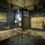
Exhibits show artifacts, pottery, jewelry and arrowheads found at Poverty Point.
Public Domain. Louisiana Office of Tourism
-
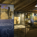
Exhibits describe the life and times of the Ancient Indian Mound builders that called Poverty Point home over 3500-years-ago.
Public Domain. Louisiana Office of Tourism
-
One of the main features at Poverty Point World Heritage Site is the large bird mound. The bird mound has hundreds of steps leading to the top. There visitors have a panoramic view of the site and the shape of the bird mound, like a bird in flight.
Public Domain. Louisiana Office of Tourism
-
Panoramic view of the Port Hudson Battlefield with field tents set up for the reenactment of the longest siege in US military history. Louisiana
Public Domain. Louisiana Office of Tourism
-
Re-enactors are poised to attack on the hilly terrain of Port Hudson State Historic Site. Every year re-enactors portray the Battle of Port Hudson, the longest siege in American military history.
Public Domain. Louisiana Office of Tourism
-
Exhibits at the Port Hudson State Historic Site display American Civil War battle flags, artifacts found on the site and exhibits on ways in which soldiers survived during the attacks on the Mississippi River and the siege at Port Hudson.
Public Domain. Louisiana Office of Tourism
-

The Louisiana State Capitol stands tall, dwarfing everything else in view. The manicured grounds show azaleas in bloom.
Public Domain. Louisiana Office of Tourism
-

In the formal garden of the Louisiana State Capitol lies the remains of Louisiana Governor and United State Senator Huey Long. A life-sized bronze statue stands on a high pedestal facing the Louisiana State Capitol seen in the background. Huey Long built the State Capitol, was assassinated at the State Capitol and is buried on the State Capitol grounds.
Public Domain. Louisiana Office of Tourism
-
From the Observation Deck on the top of the Louisiana State Capitol, visitors see magnificent views of the Louisiana Great River Road, the Mississippi River, the top of the levee system and the Mississippi River bridge.
Public Domain. Louisiana Office of Tourism
-

A view of the Old Governor's Mansion that shows the front fountain and the room on the second floor (right) where photos of presidents has been taken through the window at the White House in Washington, DC.
Public Domain. Louisiana Office of Tourism
-

A view of the black and white checkered floor and the marble semi-circular staircase inside of the Old Governor's Mansion in Louisiana.
Public Domain. Louisiana Office of Tourism
-

The Old Governor's Mansion is a Classical Revival Architectural style and is reported to be a duplicate of the White House in Washington, DC as it was originally designed by Thomas Jefferson. It includes the front semi-circular drive, pillared entrance and a fountain on the front lawn.
Public Domain. Louisiana Office of Tourism
-

Tiger Stadium seats over 100,000 and is always filled to capacity with cheering fans during every home game.
Public Domain. LSU permission to use
-

Mike the Tiger taking a swim in his habitat pool.
Public Domain. LSU permission to use
-

Outside of LSU Tiger Stadium, a visitor can still see the windows of the dormitories that were built in the round to accommodate additional seating.
Public Domain. LSU permission to use
-
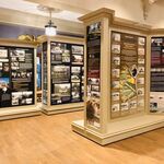
F6a The Louisiana Great River Road Museum and Interpretive Center is a 28,000 square foot facility with many exhibits telling the story of life along the Louisiana Great River Road and commerce on the Mississippi River. This exhibit, pictured here, interprets the culture and ways in which it evolved on the Louisiana Great River Road.
Public Domain. Louisiana Office of Tourism
-
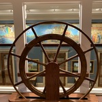
One of the themes interpreted at the Louisiana Great River Road Museum and Interpretive Center is steamboats. Shown here is a large pilot's wheel with pictures and drawings of various steam boats.
Public Domain. Louisiana Office of Tourism
-
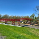
A pedestrian bridge from the Louisiana Great River Road Museum and Interpretive Center to the Mississippi River levee. Shown here is the pedestrian bridge facing the Louisiana Great River Road with the Louisiana Great River Road Museum and Interpretive Center in the background.
Public Domain. Louisiana Office of Tourism
-
Laura: A Creole Plantation is called a Creole Plantation because of its architectural style and the tradition of painting a Creole Plantation in brighter colors. Depicted here is Laura Plantation with its yellow, mauve, blue and red colors.
Public Domain. Louisiana Office of Tourism
-

F8a Oak Alley is shown with its alley of oaks draped in an early morning fog that is coming off of the Mississippi River. Louisiana (iconic photo)
Public Domain. Louisiana Office of Tourism
-

Oak Alley, named for its 300-year-old allee' of majestic oak trees, is pictured here as the trees create a canopy over the walkway to the house from the river.
Public Domain. Louisiana Office of Tourism
-

The National World War II Museum prides itself on having World War II military veterans greet visitors and tell first-hand accounts of their experiences in the war. This photo shows a WWII veteran standing next to a I was there poster, where he is talking to a couple about being a WWII veteran paratrooper.
Public Domain. Louisiana Office of Tourism
-

The National World War II Museum has many life-sized exhibits. This picture showcases a section of the aviation exhibit with WWII-era planes suspended from the ceiling like they are flying overhead.
Public Domain. Louisiana Office of Tourism
-

The National World War II Museum occupies five pavilions that house historical exhibits, on-site restoration work, a period dinner theater and other restaurants. This picture shows the outside of the main museum building, concrete and glass, an aviation exhibit can be seen from the outside.
Public Domain. Louisiana Office of Tourism
-

Part of the mission of the New Orleans Jazz Historical Park is to sponsor Jazz events. This picture shows a woman leading a Jazz band on a second-line march through the park.
Public Domain. Louisiana Office of Tourism
-

This statute of Louis Armstrong, one of the most famous musicians of the Jazz age, stands at the center of New Orleans Congo Square, home to the New Orleans Jazz Historical Park.
Public Domain. Louisiana Office of Tourism
-
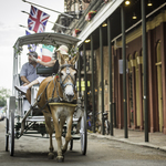
The New Orleans French quarter offers carriage ride tours. Pictured here is a carriage driver pointing out a place of interest during a French Quarter tour.
Public Domain. Louisiana Office of Tourism
-
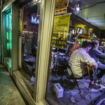
New Orleans is known for its music and night clubs. Pictured here is a sidewalk glimpse into a French Quarter bar where live musicians are playing.
Public Domain. Louisiana Office of Tourism
-

One of the most iconic places to visit in the New Orleans French Quarter is Cafe Du Monde, a 24-hour sidewalk cafe. Pictured here is a table set with a cup of cafe au lait and a plate of beignets, little fried doughnuts shaped in a square and covered with powdered sugar, pictured here.
Public Domain. Louisiana Office of Tourism
-
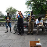
Jackson Square is an open park where painters, palm readers and musicians play to entertain visitors. Pictured is a group of musicians playing instruments in Jackson Square. The wrought iron fence that surrounds the Jackson Square Park, can be seen in the background.
Public Domain. Louisiana Office of Tourism
-
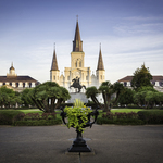
The most popular view of Jackson Square is pictured here. Through the wrought iron fence is the central view of the Andrew Jackson on his horse statue with St. Louis Cathedral in the middle, flanked by the Cabildo to the left and the Presbytere to the right.
Public Domain. Louisiana Office of Tourism
-
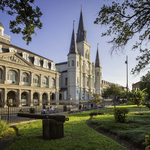
The Cabildo was a governmental building during the time of the Louisiana Purchase. It is now a state museum. It is pictured here on a corner of Jackson Square in the New Orleans French Quarter. Situated next to the Cabildo is St. Louis Cathedral.
Public Domain. Louisiana Office of Tourism
-
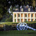
An up close view of the Rene Beauregard House, showing its columned front porch with earthworks, canon and moss-draped oak tree in the foreground.
Public Domain. Louisiana Office of Tourism
-
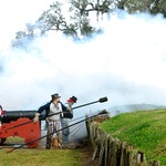
A re-enctment of the Battle of New Orleans. Costumed American rag-tag reenactors under the command of Brevet Major General Andrew Jackson are firing a canon at the approaching British army.
Public Domain. Louisiana Office of Tourism
-
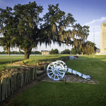
Chalmette Battlefield is a National Park Service site and it commemorates the last battle fought during the War of 1812, the Battle of New Orleans. Pictured here is the battlefield with a canon and mossdraped oak tree. Overlooking the battlefield is the Chalmette monument, a 100-foot-tall obelisk, built to commemorate the American victory here. In the far background is the Rene Beauregard House, a 1830s porticoed mansion in French-Louisiana architecture.
Public Domain. Louisiana Office of Tourism
-
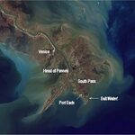
Satellite view of the Great River Road and the entrance to the mouth of the Mississippi River and the inter-coastal waters leading to the Gulf of Mexico
Public Domain. USACE, New Orleans
-
Map showing the location of the end of Highway 23 at Venice, Louisiana, the end of the Great River Road.
Public Domain. None
-

Reaching for beads and trinkets thrown from costumed riders on Mardi Gras floats. Mardi Gras is one of the largest festivals in the United States.
Public Domain. Louisiana Office of Tourism
-
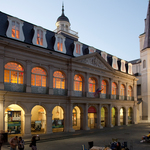
An evening view of the Cabildo, flanked by St. Louis Cathedral, on the corner of Jackson Square with people milling about in the New Orleans French Quarter.
Public Domain. Louisiana Office of Tourism
-
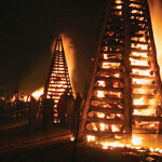
Something different in Louisiana...On December 24 each year - 20-foot-high structures are built by families on top of the Mississippi River levee and set on fire to light the way for Papa Noel or Santa Claus to ensure he visits every boy and girl.
Public Domain. Louisiana Office of Tourism
-

A sea of people listen to music at the New Orleans Jazz and Heritage Festival. Hundreds of thousands up to one-million visitors travel to New Orleans during Jazz Fest.
Public Domain. Louisiana Office of Tourism
-
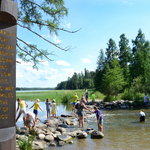
Bucket list: Great River Road travelers find delight crossing America’s Mississippi River headwaters atop stepping stones! Countless pictures capturing the moment include the wood post sign “Here 1475 Ft above the ocean the mighty Mississippi begins to flow on its winding way 2552 miles to the Gulf of Mexico”.
© MN Department of Natural Resources/Deb Rose..
-

People enjoy walking across the mighty Mississippi River in Minnesota's Itasca State Park as it starts its winding journey 2,552 miles to the Gulf of Mexico.
© MN Department of Natural Resources/Deb Rose..
-
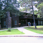
Completed in 1905, Douglas Lodge is one of the premier historic structures within Itasca State Park. Visitors today can experience history while enjoying a meal or overnight stay in this iconic building
Public Domain. National Park Service
Download Original (1536 x 862 pixels, 1237.1 MB)
-
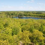
You can climb the fire tower at Itasca State Park and take in a panoramic view of the forests and lakes of the Mississippi River headwaters around Minnesota’s oldest state park.
© MN Department of Natural Resources/Deb Rose..
-
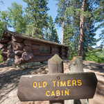
The Civilian Conservation Corps (CCC) constructed Itasca State Park’s Old Timer’s Cabin. Itasca State Park itself is designated as a National Register Historic District. There are many historic sites within the park.
© MN Department of Natural Resources/Deb Rose..
-
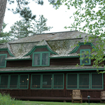
Itasca State Park’s Clubhouse is a two-story log structure built in 1913 and is the park’s premier lodging facility, great for family gatherings and celebrations.
© MN Department of Natural Resources/Deb Rose..
-
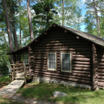
Itasca State Park has numerous CCC era log cabins that are available for rental including this cabin located near the historic Douglas Lodge Restaurant.
© MN Department of Natural Resources/Deb Rose..
-
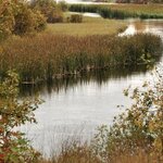
The serpentine reach of the Mississippi River winds serenely through a landscape of fall colors.
Public Domain. Mississippi Headwaters Board
Download Original (341 x 512 pixels, 140.2 KB)
-
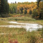
The narrow northern sections of the Mississippi River near her birthplace bear little resemblance to the mighty reaches further south but hold a charm all their own.
Public Domain. Mississippi Headwaters Board
Download Original (512 x 341 pixels, 146.6 KB)
-
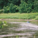
A kayaker peacefully floats the Mississippi River as it twists and turns, meandering south.
Public Domain. Mississippi River Parkway Commission of Minnesota
Download Original (611 x 408 pixels, 71.1 KB)
-
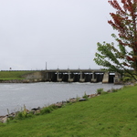
Winnibigoshish Dam, or “Winnie” as it’s locally known, transforms the Mississippi River into one of the largest lakes in Minnesota.
Public Domain. US Army Corps of Engineers
Download Original (5472 x 3648 pixels, 6977.0 MB)
-
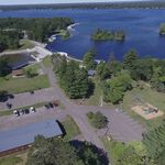
The United States Army Corps of Engineers maintains a system of headwaters dams in Minnesota, creating beautiful lakes in the pines with recreational facilities to help visitors experience and enjoy the area.
Public Domain. US Army Corps of Engineers
Download Original (5700 x 3900 pixels, 623.0 KB)
-

This aerial view of the Crosslake Dam shows both sides of a site within the headwaters dam system. A “before and after” if you will.
Public Domain. US Army Corps of Engineers
Download Original (3300 x 2550 pixels, 527.6 KB)
-
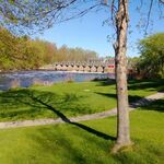
Pokegama Dam just outside Grand Rapids, Minnesota in the stunning Northwoods, provides an up close view of the river and also a recreation area for those wishing to spend a little more time here. And who wouldn’t?
Public Domain. MN Mississippi River Parkway Commission
Download Original (666 x 375 pixels, 72.3 KB)
-
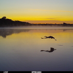
Sartell, Minnesota’s river dam backs up the water to form a shallow lake used by wildlife like this heron, captured on film by a trail cam.
© MN Department of Natural Resources/Eric Altena..
-
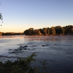
The Mississippi River at Dayton retains a prairie river quality, calling for quiet reflection.
Public Domain. National Park Service
Download Original (3264 x 2448 pixels, 2003.3 MB)
-
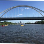
Kayakers paddle their colorful watercraft on the Mississippi River in Minneapolis with the spectacular Lowry Avenue Bridge and Minneapolis skyline as a backdrop.
Public Domain. National Park Service
Download Original (1036 x 785 pixels, 181.5 KB)
-

Visitors can tour the 1906 family home of Charles A Lindbergh, furnished with original Lindbergh family objects.
Public Domain. Minnesota Historical Society
Download Original (2100 x 1500 pixels, 1502.8 MB)
-

The Charles A Lindbergh House and Museum sits on the banks of the Mississippi River in Little Falls, Minnesota. The property includes prime spots for river viewing – both to enjoy the beauty and contemplate the accomplishments that began to take flight here.
Public Domain. Minnesota Historical Society
Download Original (2100 x 1500 pixels, 959.2 KB)
-

Visitors to the Charles Lindbergh House discover how his life along the Mississippi River influenced his future as an environmental activist, inventor, and aviation pioneer.
Public Domain. Minnesota Historical Society
Download Original (2100 x 1500 pixels, 719.7 KB)
-
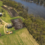
An aerial view of the original 1860s historic homestead on the banks on the banks of the Mississippi River. People come to experience the story of farming, food and agriculture — past and present.
Public Domain. Minnesota Historical Society
Download Original (2100 x 1500 pixels, 1070.6 MB)
-

The Farm Lab barn, where kids of all ages can meet Minnesota raised livestock that provide our meat, dairy, eggs, and wool, and learn about the modern livestock industry.
Public Domain. Minnesota Historical Society
Download Original (2100 x 1500 pixels, 1229.9 MB)
-
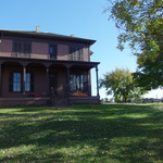
Visitors are invited inside this large Italianate-style house to help with household chores, from sewing to preparing a 19th century meal. This is the second Kelley home, built in 1876.
Public Domain. Minnesota Historical Society
Download Original (4000 x 3000 pixels, 4916.8 MB)
-
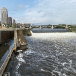
St. Anthony Falls, the birthplace of Minneapolis, draws visitors and residents alike to its power and beauty.
Public Domain. National Park Service
Download Original (1280 x 960 pixels, 449.5 KB)
-
A modern day painter sets up studio at the National Park Service-run Lock and Dam overlook to capture the perfect subject, St. Anthony Falls
Public Domain. National Park Service
Download Original (1280 x 960 pixels, 351.1 KB)
-
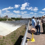
A National Park Service Ranger from the Mississippi National River and Recreation Area tells the story of the St. Anthony Falls area to a small group of visitors, while viewing the falls and both the east and west banks of the river.
Public Domain. National Park Service
Download Original (3495 x 2694 pixels, 3507.1 MB)
-
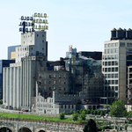
The buildings that developed Minneapolis into a milling and trade center remain in what is designated as the St. Anthony Falls Historic District.
Public Domain. John Cross courtesy Minnesota Historical Society
Download Original (5568 x 3712 pixels, 9142.9 MB)
-
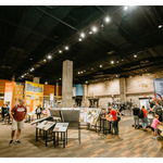
At Mill City Museum, see 19th-century flour milling machines, view vintage advertising, sit at a huge dinner table outfitted to feed a wheat harvest crew, trace the journey of wheat from farm to market, design your own cereal box, and meet a history player from the city's past.
Public Domain. Minnesota Historical Society
Download Original (2100 x 1500 pixels, 1101.1 MB)
-
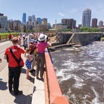
Visitors on the Stone Arch Bridge flock to the St. Anthony Falls area of Minneapolis to take photographs and take in the spray of the water as they overlook the scene below and around them.
Public Domain. Minnesota Historical Society
Download Original (2100 x 1500 pixels, 978.5 KB)
-
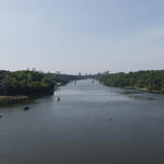
The Gorge area of the Mississippi River has much to offer the visitor throughout the year. Hiking, paddling, bird watching, and photography are all popular activities in the Gorge.
Public Domain. National Park Service
Download Original (2240 x 1680 pixels, 357.9 KB)
-
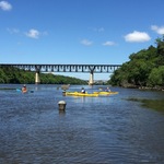
Meeker Island was the site of the first and northernmost lock and dam on the Mississippi River. Modern day water enthusiasts enjoy the river in its current form
Public Domain. National Park Service
Download Original (1280 x 960 pixels, 360.1 KB)
-
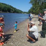
Shore fishing opportunities abound in Gorge area of Minneapolis and St. Paul’s Mississippi National River Recreation Area. Hidden Falls Park is a popular place to picnic and launch boats, as well as fish
© MN Department of Natural Resources/Gina Bonsignore.
Download Original (2576 x 1932 pixels, 2593.3 MB)
-
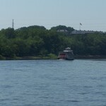
The Jonathan Padelford, a classic paddlewheel riverboat, approaches Fort Snelling at its historic and important location at the confluence of the Mississippi and Minnesota rivers.
Public Domain. National Park Service
Download Original (2576 x 1716 pixels, 683.0 KB)
-
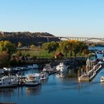
Clear skies, calm blue water and a variety of boats standing ready at a marina are visible from the Wabasha Street Bridge in downtown St. Paul.
Public Domain. Explore Minnesota
Download Original (611 x 409 pixels, 44.0 KB)
-

Ice and snow provide a storybook winterscape along the Mississippi River at Fort Snelling State Park.
© MN Department of Natural Resources/Deb Rose..
-
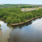
The confluence of the Minnesota and Mississippi rivers is one of the most historically significant landscapes in Minnesota, known to many Dakota people as Bdote. It is a place where rivers and people have come together for at least 10,000 years.
Public Domain. Minnesota Historical Society
Download Original (2100 x 1500 pixels, 869.8 KB)
-
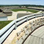
Historic Fort Snelling is managed by the Minnesota Historical Society and was designated in 1960 as Minnesota's first National Historic Landmark.
Public Domain. Minnesota Historical Society
Download Original (2100 x 1500 pixels, 977.3 KB)
-
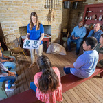
Within Historic Fort Snelling, a variety of programs and presentations showcase this unique place’s deep and diverse history.
Public Domain. Minnesota Historical Society
Download Original (2100 x 1500 pixels, 1339.8 MB)
-

Children sit in view of the sacred burial mounds at aptly named Mounds Park in Saint Paul.
Public Domain. National Park Service
Download Original (3218 x 2150 pixels, 1721.1 MB)
-
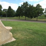
A Native statue reminds visitors of the peoples who were here in the Daytons Bluff area thousands of years ago, with their presence still felt here today.
Public Domain. National Park Service
Download Original (1280 x 960 pixels, 452.0 KB)
-

Mounds Park provides the perfect view of downtown Saint Paul upstream on the Mississippi River.
Public Domain. National Park Service
Download Original (3504 x 2336 pixels, 4578.7 MB)
-
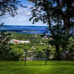
The Driftless Area boasts many overlook spots like this one, inviting visitors to take a seat and view the charming town and river below.
Public Domain. Explore Minnesota
Download Original (612 x 408 pixels, 82.0 KB)
-

Barn Bluff is a popular hiking spot and worth the effort needed to reach the top of the 340-foot bluff. The cliff showcases a spectacular view of the Mississippi River on one side and Red Wing on the other.
Public Domain. Explore Minnesota
Download Original (612 x 408 pixels, 54.5 KB)
-
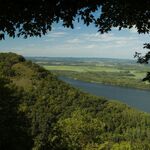
Wide span views of the Driftless Area abound from blufftops like this one showcasing the majesty of the Mississippi River.
Public Domain. Explore Minnesota
Download Original (613 x 407 pixels, 59.3 KB)
-
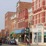
Historic downtown Winona includes nearly a dozen blocks lovingly preserved and on the National Historic Register.
Public Domain. Visit Winona
Download Original (612 x 408 pixels, 60.4 KB)
-

Built between 1869 and 1871, Hastings City Hall was originally the Dakota County Courthouse and was renovated in 1912. This is just one example of a River Town historic jewel that travelers encounter on their journeys.
Public Domain. David Youngren
Download Original (585 x 427 pixels, 49.2 KB)
-
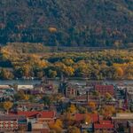
A birds eye view of historic downtown Winona and the magical Mississippi River provides fall season inspiration.
Public Domain. Explore Minnesota
Download Original (619 x 403 pixels, 66.5 KB)
-

Evening along the Great River Road is special. This image of the famous 'M' bridge at twilight is south of Memphis, and crosses the Mississippi River between Tennessee and Arkansas. The Great River Road is all about connecting to the river, which is stylistically symbolized in this picture.
Public Domain. Tennessee Department of Transportation
Download Original (3072 x 2304 pixels, 863.2 KB)
-

This roadside Tennessee Historical Society marker interprets the battle for Island No. 10 and related historical sites that still exist today.
Public Domain. Google Maps
Download Original (1600 x 1200 pixels, 469.1 KB)
-
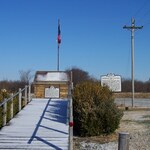
This wintertime scene depicts the Daughters of the Confederacy marker and Tennessee Historical Society marker of the Battle for Island Number 10.
Public Domain. Tennessee State Library and Archives
Download Original (1024 x 768 pixels, 200.7 KB)
-

This image is of a bald eagle perched and hunting atop a dead bald cypress tree in the lake. Eagles and other raptors are prevalent in the lake area
Public Domain. Tennessee State Parks
Download Original (1356 x 1800 pixels, 312.7 KB)
-

This picture is of Reelfoot Lake in evening. Reelfoot Lake is a flooded forest, and boasts many tall bald cypress trees with roots raised above the lake level.
Public Domain. Tennessee Department of Tourism Development
Download Original (1023 x 521 pixels, 246.7 KB)
-
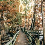
This image is of a boardwalk extending between trees along the shore of Reelfoot Lake.
Public Domain. Tennessee Department of Tourism Development
Download Original (2998 x 2000 pixels, 1825.4 MB)
-

This is a view of the Mississippi River at historic Heloise, TN, looking across to Cottonwood Point, MO.
Public Domain. Tennessee Department of Tourism Development
Download Original (1920 x 575 pixels, 124.4 KB)
-
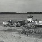
Historic photo of the Cottonwood, MO to Heloise, TN ferry.
Public Domain. Tennessee State Library and Archives
Download Original (281 x 180 pixels, 7.0 KB)
-

Current day roadside view of the Heloise Loop in Finley, TN
Public Domain. Tennessee Department of Tourism Development
Download Original (1536 x 1536 pixels, 663.3 KB)
-

This is a picture of the Alex Haley home and property.
Public Domain. Tennessee Department of Transportation
Download Original (960 x 555 pixels, 147.8 KB)
-

This is a picture of the on-site interpretive center at Alex Haley State Historic Site.
Public Domain. Tennessee Department of Tourism Development
Download Original (1600 x 800 pixels, 287.5 KB)
-
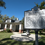
This is a picture of the Tennessee Historical Society roadside marker at the Alex Haley site. The home is in the background.
Public Domain. Tennessee Department of Tourism Development
Download Original (3000 x 1996 pixels, 2197.5 MB)
-
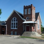
This is the road-front view of the Canaan Baptist Church, including front entrance and stained glass window.
Public Domain. Tennessee Department of Transportation
Download Original (2304 x 1296 pixels, 1163.8 MB)
-
This historic photo features the inside of the church, including pews and the pulpit.
Public Domain. Tipton County Historical Society
Download Original (748 x 537 pixels, 140.5 KB)
-
This is the keystone dedication to the church, dating back to the 1916.
Public Domain. Tennessee Department of Transportation
Download Original (2304 x 1296 pixels, 1064.5 MB)
-
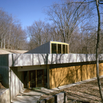
This is a picture of the interpretive center at the Ft. Pillow State Historic Site
Public Domain. Tennessee State Parks
Download Original (1006 x 678 pixels, 1355.0 MB)
-
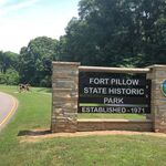
This is the entry sign to Ft. Pillow State Historic Park.
Public Domain. Tennessee State Parks
Download Original (2048 x 1536 pixels, 704.5 KB)
-
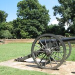
This image is from inside Ft. Pillow and includes replica cannon and fort walls.
Public Domain. Tennessee Department of Tourism Development
Download Original (2667 x 2000 pixels, 1991.3 MB)
-

This image is the Beale Street Music Festival main stage and crowd during the Memphis in May festival
Public Domain. Tennessee Department of Tourism Development
Download Original (960 x 640 pixels, 142.5 KB)
-

This image is an overhead view of the Beale Street Music Festival during evening. The Mississippi River, Memphis skyline and Pyramid are all in the distance.
Public Domain. Memphis in May International Festival
Download Original (2048 x 1536 pixels, 1224.5 MB)
-

This image is of beef brisket being chopped and prepared for judging at the World Championship BBQ Competition.
Public Domain. Tennessee Department of Tourism Development
Download Original (2750 x 2000 pixels, 2044.1 MB)
-

This image is of the façade and marquis for the Arcade Restaurant in Memphis.
Public Domain. Tennessee Department of Tourism Development
Download Original (960 x 641 pixels, 169.2 KB)
-

This image depicts the famous Memphis trolley embarking down South Main Street.
Public Domain. Memphis Area Chamber of Commerce
Download Original (814 x 540 pixels, 73.9 KB)
-

This image depicts a sidewalk art sale at a storefront along South Main in Memphis.
Public Domain. Tennessee Department of Tourism Development
Download Original (660 x 440 pixels, 88.8 KB)
-
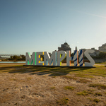
This image depicts the artistic 'Memphis' sculpture facing the Mississippi River. It announces arrival to the city to those boating.
Public Domain. Tennessee Department of Tourism Development
Download Original (3000 x 2000 pixels, 3267.4 MB)
-
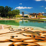
This image depicts the Mud Island river walk and Mississippi River Museum entrance.
Public Domain. Memphis Area Chamber of Commerce
Download Original (1080 x 1080 pixels, 279.7 KB)
-
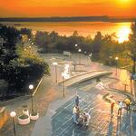
This image depicts the Mud Island river park during evening.
Public Domain. Tennessee Department of Tourism Development
Download Original (1200 x 675 pixels, 121.9 KB)
-

This image shows the Lorraine Motel and marquis, with the National Civil Rights Museum and Memphis skyline in the background.
Public Domain. Tennessee Department of Tourism Development
Download Original (1920 x 1280 pixels, 199.4 KB)
-

This image depicts an exhibit of the Montgomery Bus Boycott inside the National Civil Rights Museum.
Public Domain. National Civil Rights Museum
Download Original (1800 x 1200 pixels, 303.8 KB)
-

This image depicts the front of the National Civil Rights Museum, with the Lorraine Hotel immediately to the right of the picture.
Public Domain. Tennessee Department of Tourism Development
Download Original (1380 x 1080 pixels, 195.3 KB)
-
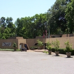
This image depicts the C.H. Nash museum at Chucalissa.
Public Domain. University of Memphis
Download Original (1024 x 773 pixels, 715.4 KB)
-
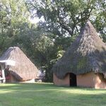
This image depicts the replica mound-top Native American dwellings which at one time inhabited Chucalissa.
Public Domain. University of Memphis
Download Original (550 x 411 pixels, 72.7 KB)
-

This image depicts a large replica Native American meeting house atop a mound at Chucalissa.
Public Domain. University of Memphis
Download Original (550 x 366 pixels, 45.8 KB)
-
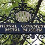
This image depicts the ornate rod-iron gate entrance to the National Ornamental Metal Museum property.
Public Domain. National Ornamental Metal Museum
Download Original (2048 x 1361 pixels, 483.4 KB)
-
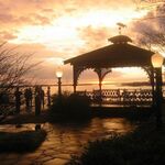
This image depicts the metal gazebo overlooking the Mississippi River at the National Ornamental Metal Museum.
Public Domain. National Ornamental Metal Museum
Download Original (604 x 453 pixels, 58.1 KB)
-
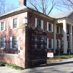
This image is of the main building and museum hall at the National Ornamental Metal Museum
Public Domain. National Ornamental Metal Museum
Download Original (1024 x 773 pixels, 713.3 KB)
-

This image depicts a Beale Street Steppers looking down Beale Street as evening approaches. Colorful marquis and storefronts adorn the street.
Public Domain. Tennessee Department of Tourism Development
Download Original (3000 x 2000 pixels, 2520.9 MB)
-

This image depicts the front of Graceland Mansion in springtime.
Public Domain. Tennessee Department of Tourism Development
Download Original (2000 x 917 pixels, 686.1 KB)
-
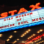
This image depicts the neon lit marquis as Stax Records with the message "The Museum of American Soul Music".
Public Domain. Tennessee Department of Tourism Development
Download Original (2829 x 2000 pixels, 5407.0 MB)
-
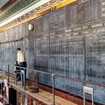
This image depicts the large cotton exchange trading board used onsite in the early 1900's.
Public Domain. Cotton Museum at the Cotton Exchange
Download Original (700 x 420 pixels, 172.8 KB)
-
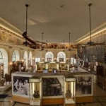
This image depicts the main exhibit hall of the Cotton Museum. Cotton products, agricultural implements and interpretive panels are present.
Public Domain. Cotton Museum at the Cotton Exchange
Download Original (276 x 183 pixels, 95.1 KB)
-
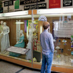
This image is of a visitor enjoying an interpretive panel at the Cotton Museum.
Public Domain. Cotton Museum at the Cotton Exchange
Download Original (660 x 440 pixels, 97.7 KB)
-
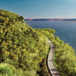
Breathtaking panoramic view from the towering bluff top overlooking the Wisconsin Great River Road to see the mighty Mississippi River and valley for miles looking North, South and West.
Public Domain. Jay Olson-Goude
Download Original (1024 x 671 pixels, 322.9 KB)
-

Welcome to the Upper Mississippi River Wildlife Refuge and the 240,000 acres of river and bluff lands to explore. The adventures are endless and places to explore are abundant in all seasons of the year. This is The Driftless.
Public Domain. US Fish and Wildlife Service
Download Original (1280 x 960 pixels, 342.4 KB)
-
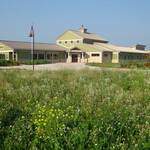
Brice Prairie Visitor Center is the Upper Mississippi River Wildlife Center Headquarters. It is the place to see exhibits of wildlife, trek over trails located on this restored prairie and along the shores of Lake Onalaska.
Public Domain. US Fish and Wildlife Service
Download Original (1069 x 802 pixels, 155.4 KB)
-
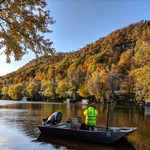
Get out and cruise on the churning Mississippi River, especially in the Fall Season, to enjoy fishing and seeing the soaring bluffs as these boaters are doing. Take in the birds using the Mississippi River Flyway as their highway south and to warm winter habitats.
Public Domain. US Fish and Wildlife Service
Download Original (1097 x 1079 pixels, 492.1 KB)
-

Visitors enjoy standing on the patio to see the vista at the Freedom Park Visitor and Learning Center
Public Domain. GRR Visitor & Learning Center
Download Original (782 x 520 pixels, 94.2 KB)
-
_sq.jpg)
The GRR Interpretive Center signage tells you about the Visitor Center as you look ahead to the picnic area and building entrance
Public Domain. GRR Visitor & Learning Center
Download Original (3264 x 2448 pixels, 3420.0 MB)
-

Butterflies flit over the coneflowers of the gardens at the entrance to the GRR Visitor and Learning Center - Freedom Park
Public Domain. GRR Visitor & Learning Center
Download Original (200 x 200 pixels, 13.3 KB)
-

Stockholm Pie and General Store is a must stop in a historic building with huge windows and home made Swedish pies, great coffee, gifts and surprises. You feel like family.
Public Domain. Alan Nugent
Download Original (200 x 200 pixels, 13.8 KB)
-
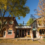
The Flyway Film Festival theater made of red brick and white clapboard construction with a gabled entrance is the cornerstone of this event that that attracts people from Minneapolis/St. Paul and the region. Film artists from all over the world compete for awards and honors while their work is showcased to a broad audience.
Public Domain. Andrew Nussbaum
Download Original (3806 x 2538 pixels, 4604.4 MB)
-
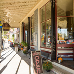
Abode Art Gallery on Stockholm's Main Street is located in a warm historic building with big windows, much sunlight and wonderful, stimulating art. It is a step back in time to enter this shop and enjoy the collections of work from local artists.
Public Domain. Andrew Nussbaum
Download Original (5184 x 3456 pixels, 6796.2 MB)
-
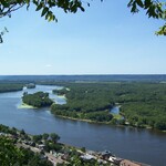
Buena Vista Overlook in Alma is a city park with a stunning overlook of the Mississippi River, hiking, and a picnic area. Largest natural balcony overlooking the Mississippi River. Visitors can enjoy watching barges traveling up the river and locking through Lock & Dam #4, along with views of the sand islands and backwater areas
Public Domain. Sherry Quamme
Download Original (2304 x 1536 pixels, 748.0 KB)
-
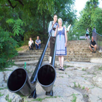
The Swiss Alphorn is music to the ears played by these two ladies costumed in traditional Swiss garments from the historic downtown.
Public Domain. Travel Wisconsin
Download Original (350 x 350 pixels, 233.3 KB)
-
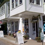
Sitting on a bench outside of great shops and eating ice cream locally made is a great way to enjoy the sunshine and reset your energy meter. Art & Soul and the local ice cream shop of Alma are part of the historic district for all to enjoy.
Public Domain. Sherry Quamme
Download Original (2304 x 1536 pixels, 900.5 KB)
-
 tw_sq.jpg)
Perrot State Park is a place for the visitor to hike, bike, kayak and explore this vast area and connect with nature in new ways. Travel to Trempealeau Mountain and walk the trails of the forefathers and Native Americans just as they did when visiting this sacred place.
Public Domain. Andrew Nussbaum
Download Original (5067 x 3359 pixels, 7983.3 MB)
-
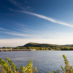
Lock and Dam #6 is operated by the US Army Corps of Engineers and is located on the Mississippi River and GRR in Trempealeau. It is a great place to fish plus you can tour the facility to see how it works in controlling the water level of the Mighty Mississippi River. It is vital to barge traffic and commerce on this national waterway.
Public Domain. Andrew Nussbaum
Download Original (5184 x 3456 pixels, 7215.1 MB)
-
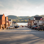
Downtown Trempealeau is the gateway to Perrot State Park, Lock & Dam Number 6, fishing access to the Mississippi River. It is the heart of the music scene of the region and where you find walnutburgers at the Trempealeau Hotel.
Public Domain. Andrew Nussbaum
Download Original (5184 x 3456 pixels, 6052.8 MB)
-
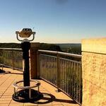
Grandad Bluff Park and overlook is a unique bluff and point to view the massive Mississippi River Valley in all directions. Gaze out in all directions to see Iowa, Minnesota and Wisconsin. Hike, bike or drive to this amazing destination where the views reward you at every season.
Public Domain. Travel Wisconsin
Download Original (640 x 398 pixels, 46.1 KB)
-

People of all ages celebrate Oktoberfest in La Crosse with dancing in the streets wearing their German lederhosen and frocks to show their German Heritage. The Polka is the dance enjoyed by most and cheers roar when the Golden keg of beer is tapped.
Public Domain. Travel Wisconsin
Download Original (1947 x 1298 pixels, 585.3 KB)
-
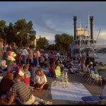
Paddle boats have returned to the docks of La Crosse and Riverside Park. Riverfest is a celebration that brings vistors to the historic downtown and port for the music, arts and culture.
Public Domain. Andrew Nussbaum
Download Original (3072 x 2048 pixels, 1552.8 MB)
-
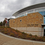
The Genoa Fish Hatchery Great River Road Interpretive Center sits beautifully on the GRR and showcases exhibits both inside and outside to inform about the wildlife, landscape, Mississippi River,fishing resource and history of the region.
Public Domain. Jerry Weigel
Download Original (3576 x 2384 pixels, 2625.9 MB)
-

The Welcome Exhibit at the GRR Interpretive Center shows a full map of the WI GRR, Pilot Wheel emblem and information that explains what the GRR is and why it is important to our nation shown here with Congressman Ron Kind who helped open the Center.
Public Domain. Sherry Quamme
Download Original (4608 x 3456 pixels, 4473.7 MB)
-
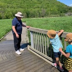
Outside exhibits at the Genoa GRR Interpretive Center and Genoa Fish Hatchery offer grandparents and grandchildren alike opportunities to use the boardwalk out into the marsh, hear frogs, see waterbugs and other wildlife for real, just as this grandpa and twin granddaughters are doing.
Public Domain. Sherry Quamme
Download Original (640 x 480 pixels, 176.5 KB)
-

Lock & Dam #8 is seen along the GRR at Genoa. The Lock spans the Mississippi River to control the water depth and flow between Pools 8 & 9, making it possible for large tow boats with 15 barges to transport cargo.
Public Domain. Sherry Quamme
Download Original (4032 x 3024 pixels, 1778.7 MB)
-
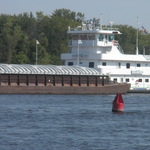
A towboat with 15 barges waits south of Lock #8 along the shore of the Mississippi River to enter the chute and lock through on the journey north to the Port of Minneapolis/St. Paul.
Public Domain. Sherry Quamme
Download Original (4000 x 3000 pixels, 2599.6 MB)
-

The privately owned and operated Clements Fishing Barge is located adjacent to Lock & Dam #8 and on the opposite side from the GRR. It is a popular place for people of all ages who love to fish and where one is likely to take home walleye, sunfish, sturgeon, catfish and many more species with a catch big enough to brag about.
Public Domain. Sherry Quamme
Download Original (4000 x 3000 pixels, 2732.5 MB)
-

The Travel Wisconsin Welcome Center - Prairie du Chien is located on the GRR just at the Wisconsin border of the Mississippi River and is a crossroads for East & West bound travelers. The landscaping is worth the visit alone with flowering plants from Spring to Fall and the butterfly garden is a real treat.
Public Domain. Sherry Quamme
Download Original (4032 x 3024 pixels, 3523.3 MB)
-

Prairie du Chien is known for its history and one of those gems is Pete's Hamburger Stand. It operates on Blackhawk Ave. in the heart of the Mainstreet District from May to Oct. When it is open, the lines are long, folks never cranky and food is fabulous
Public Domain. Prairie du Chien Chamber of Commerce
Download Original (700 x 394 pixels, 61.1 KB)
-
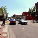
The downtown of Prairie du Chien has a wonderful feel with bench seating on every block, historic buildings that have been preserved and street lighting designed true to the early period of the community. It is a warm, friendly and fun place.
Public Domain. Prairie du Chien Chamber of Commerce
Download Original (474 x 313 pixels, 37.4 KB)
-
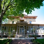
The Hercules Dousman Mansion, known as the Villa Louis has expansive grounds and opulent furnishings inside that take visitors back to the mid 19th Century when the Dousman family made this their home.
Public Domain. Andrew Nussbaum
Download Original (3293 x 2195 pixels, 3141.3 MB)
-

Each September the Carriage Classic is held on the grounds of the Villa Louis mansion. It brings the regions finest horses and carriages to this competition that celebrates the culture and lifestyle of the 19th century Victorian lifestyle.
Public Domain. Lori Schoengard
Download Original (1936 x 1296 pixels, 688.6 KB)
-
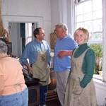
The Villa Louis Historic Site is a place of living history conducting a class each May titled "Cooking Breakfast - Like the Servants did for the Dousmans". A "cooking class" of 12 uses the wood stove, cast iron skillet and food from the garden and chicken coop to do the preparations
Public Domain. Sherry Quamme
Download Original (2304 x 1728 pixels, 734.2 KB)
-
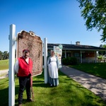
Fort Crawford is both a Medical Museum and Military Museum. Two tour guides in period dress prepare for a group arriving to see the exhibits and hear the stories.
Public Domain. Travel Wisconsin
Download Original (3360 x 2240 pixels, 2681.4 MB)
-
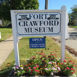
The Fort Crawford Museum is located on the GRR and the signage welcomes visitors as a GRR Interpretive Center
Public Domain. Sherry Quamme
Download Original (4608 x 3456 pixels, 6131.2 MB)
-
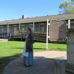
The Ft. Crawford Medical Museum was the hospital where soldiers were treated for Civil War injuries by Dr. William Beaumont, a ground-breaking researcher of digestive health whose instruments and reports are on exhibit in the museum. A school group is about to tour with the guide.
Public Domain. Sherry Quamme
Download Original (4608 x 3456 pixels, 4692.6 MB)
-

Wyalusing State Park is not only expansive by size but also by its views. A group looks out to the southwest at the confluence of the Wisconsin and Mississippi Rivers to take in this breathtaking view at over 500 feet above the rivers below.
Public Domain. Gary Knowles
Download Original (2151 x 1434 pixels, 560.4 KB)
-

Hikers at Wyalusing State Park come from other countries as well as the USA and appreciate the spiritual nature of this National Archaeological treasure and read the interpretive displays to understand what they will see and where to hike.
Public Domain. Andrew Nussbaum
Download Original (4032 x 3024 pixels, 5319.7 MB)
-
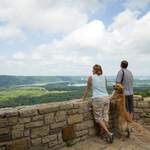
Wyalusing State Park offers several overlooks for those who explore the trails as this couple is doing. Hikers can appreciate the vast area of the park and the beauty of the expansive views in front of them.
Public Domain. Travel Wisconsin
Download Original (5184 x 3456 pixels, 5580.8 MB)
-
Stonefield Historic Site welcomes the visitor by immediately utilizing a hay rake from the early to mid 1900's as a signpost. You know you have arrived by seeing this unique Welcome to Stonefield.
Public Domain. Andrew Nussbaum
Download Original (4032 x 3024 pixels, 6371.1 MB)
-
The grounds and buildings of Stonefield Agricultural Historical site show the way farm families lived and conducted their business in the late 1800's and early 1900's to the advent of tractors and modernization. This site has a home, machine sheds, repair shop, barn and barn equipment and many exhibits to experience.
Public Domain. Andrew Nussbaum
Download Original (764 x 573 pixels, 250.8 KB)
-
Nelson Dewey State Park is directly across the road from Stonefield Historic Site and is open to camping, hiking, exploring and enjoying nature. The vistas are exceptional and it is also on the Mississippi River Flyway for bird migration both in the Spring and Fall.
Public Domain. Andrew Nussbaum
Download Original (4032 x 3024 pixels, 5494.9 MB)
-
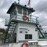
The Cassville Car Ferry launches from Cassville's Riverside Park and travels from the Wisconsin shore to the Iowa shore with the distinction of being the only car ferry on the WI GRR. It is well maintained and bicycles, pedestrians and motorcycles utilize this convenient Ferry as well.
Public Domain. Andrew Nussbaum
Download Original (4032 x 3024 pixels, 2891.0 MB)
-

Riverside Park is a gathering place for the community and rest stop for visitors in addition to being the home of the very popular Cassville Car Ferry - the only Ferry on Wisconsin's GRR.
Public Domain. Andrew Nussbaum
Download Original (4032 x 3024 pixels, 4857.2 MB)
-
_sq.png)
As a vibrant small river town, Cassville also showcases a lively downtown and a great swimming & waterpark play area for the community. These 3 boys are ready to chill and have a great time on a warm summer day.
Public Domain. Village of Cassville
Download Original (1428 x 811 pixels, 1692.3 MB)
-

The Potosi Brewery and National Brewery Museum is located in the heart of the Village and the sense of history is evident as you drive up to the front door. You know you will be seeing exhibits from all over the USA that show the story of brewing beer through lots of interesting times.
Public Domain. Potosi Brewery Foundation
Download Original (900 x 599 pixels, 567.3 KB)
-
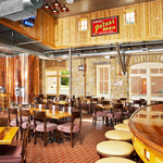
The Potosi Brewery Pub and Restaurant is famous for chef meals and classic Potosi brews. Seasonal brews and foods are on the menu as well. The dining room is antique bar decor with craftsmanship to amaze. It is worth a special trip and the food and drink is a true reward.
Public Domain. Potosi Brewery Foundation
Download Original (900 x 612 pixels, 698.1 KB)
-
Frank Fiorenza, the former Mayor of Potosi, provides tours of the Museum and Brewery as a volunteer. He handles the "sampling" for the brewery tours and can explain all of the recipes for making a great Potosi brew.
Public Domain. Sherry Quamme
Download Original (640 x 480 pixels, 165.5 KB)
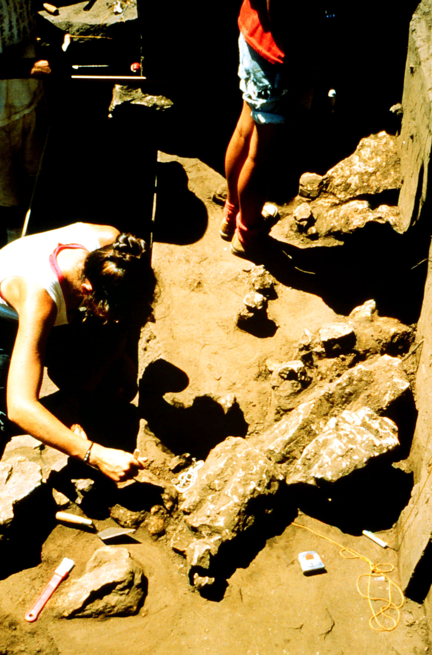
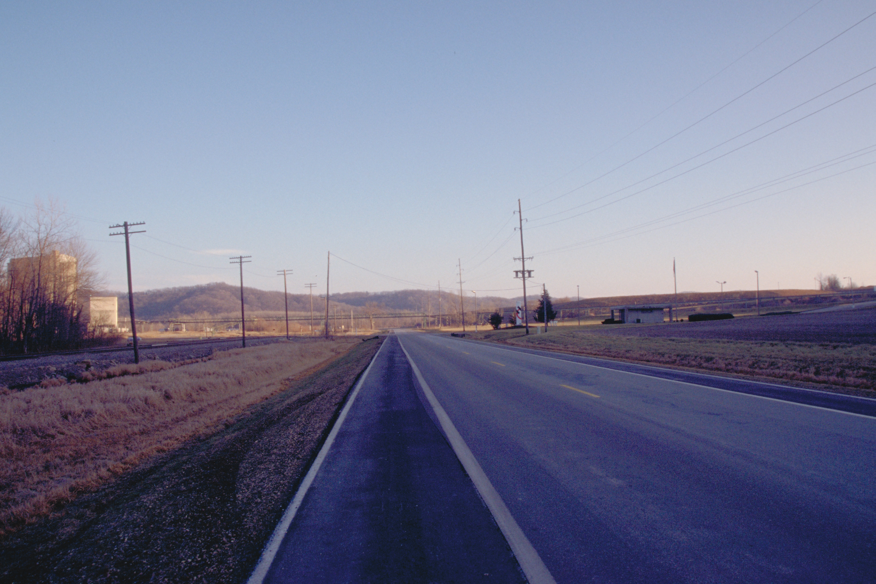
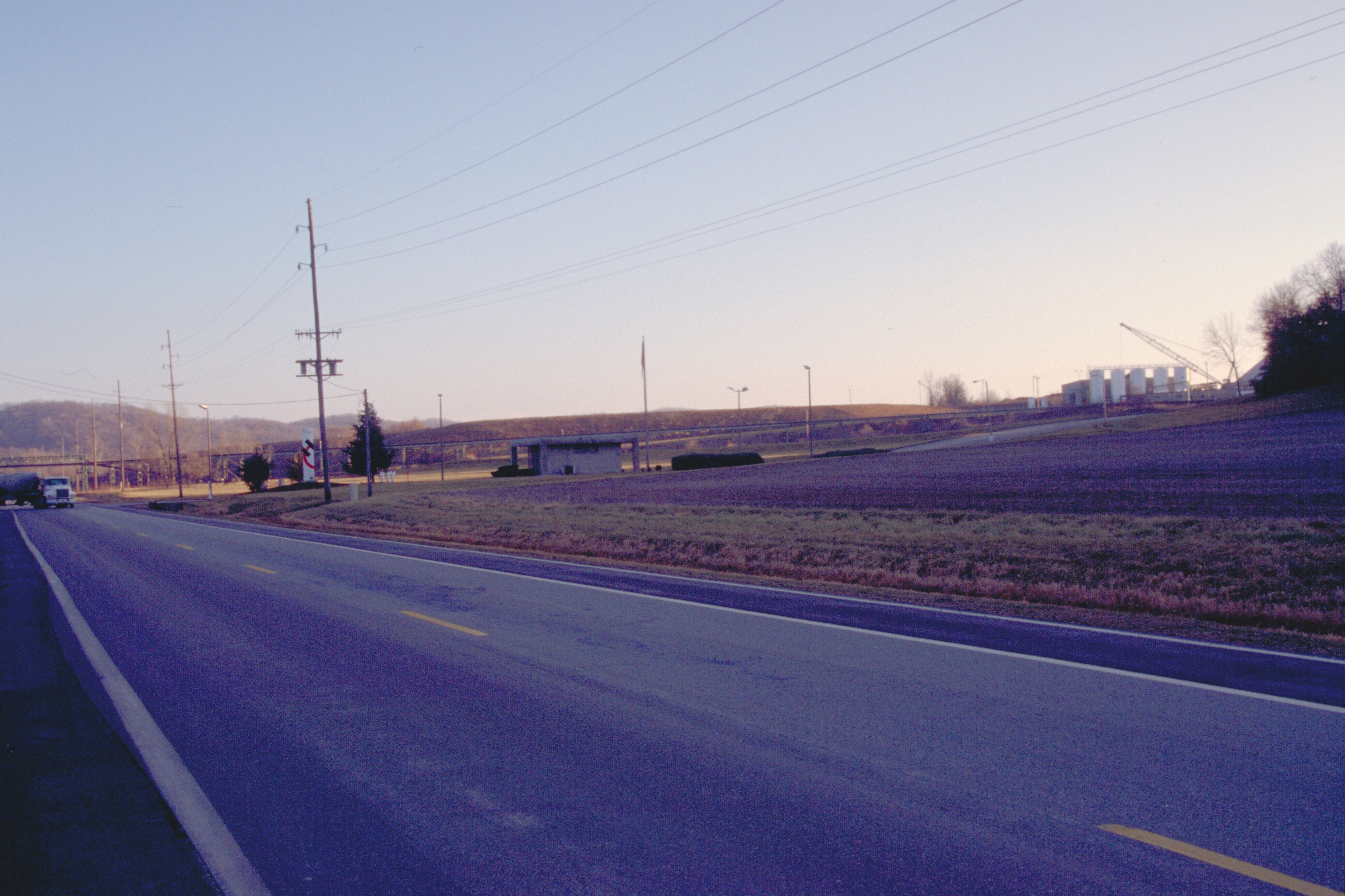
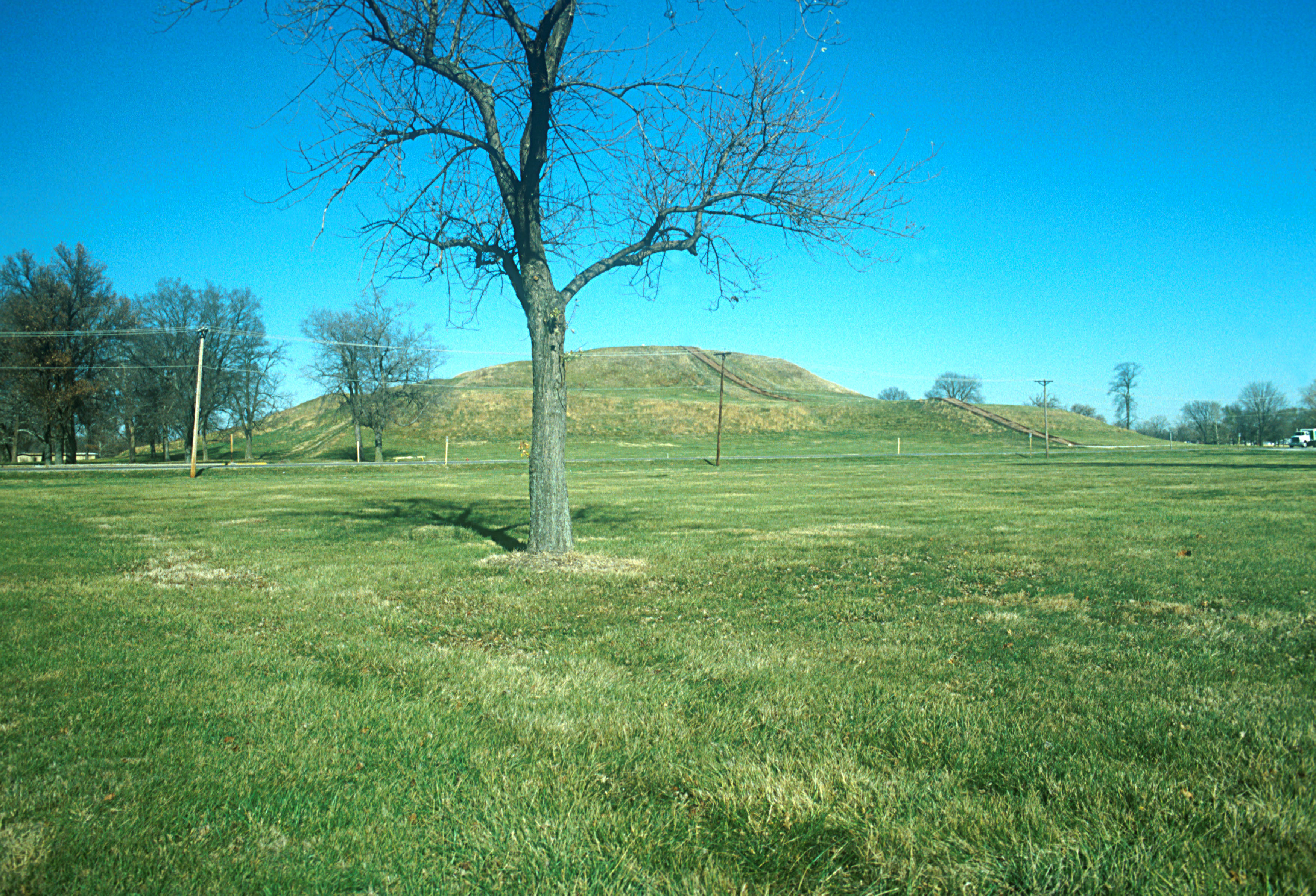
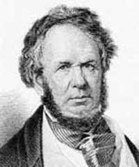
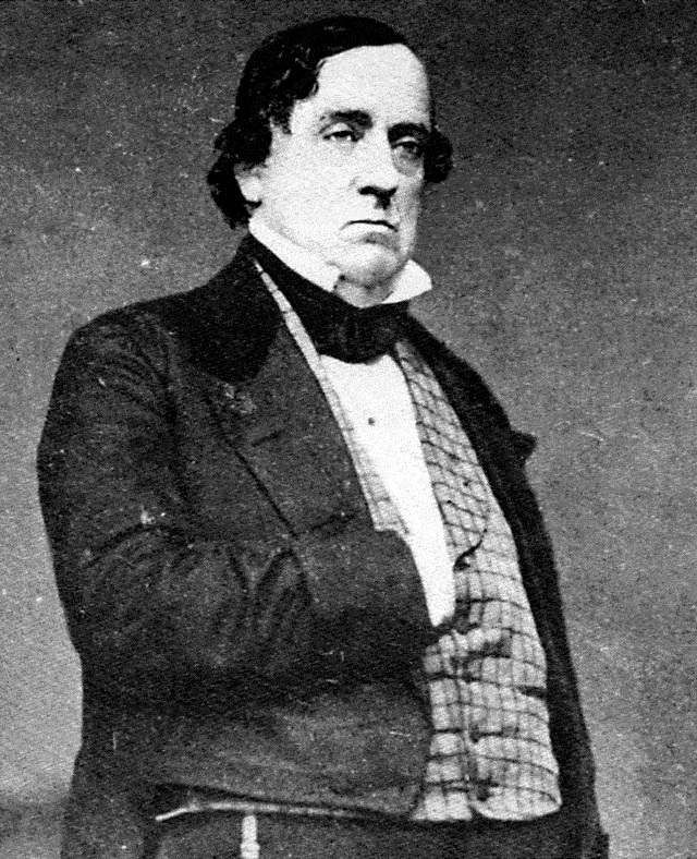
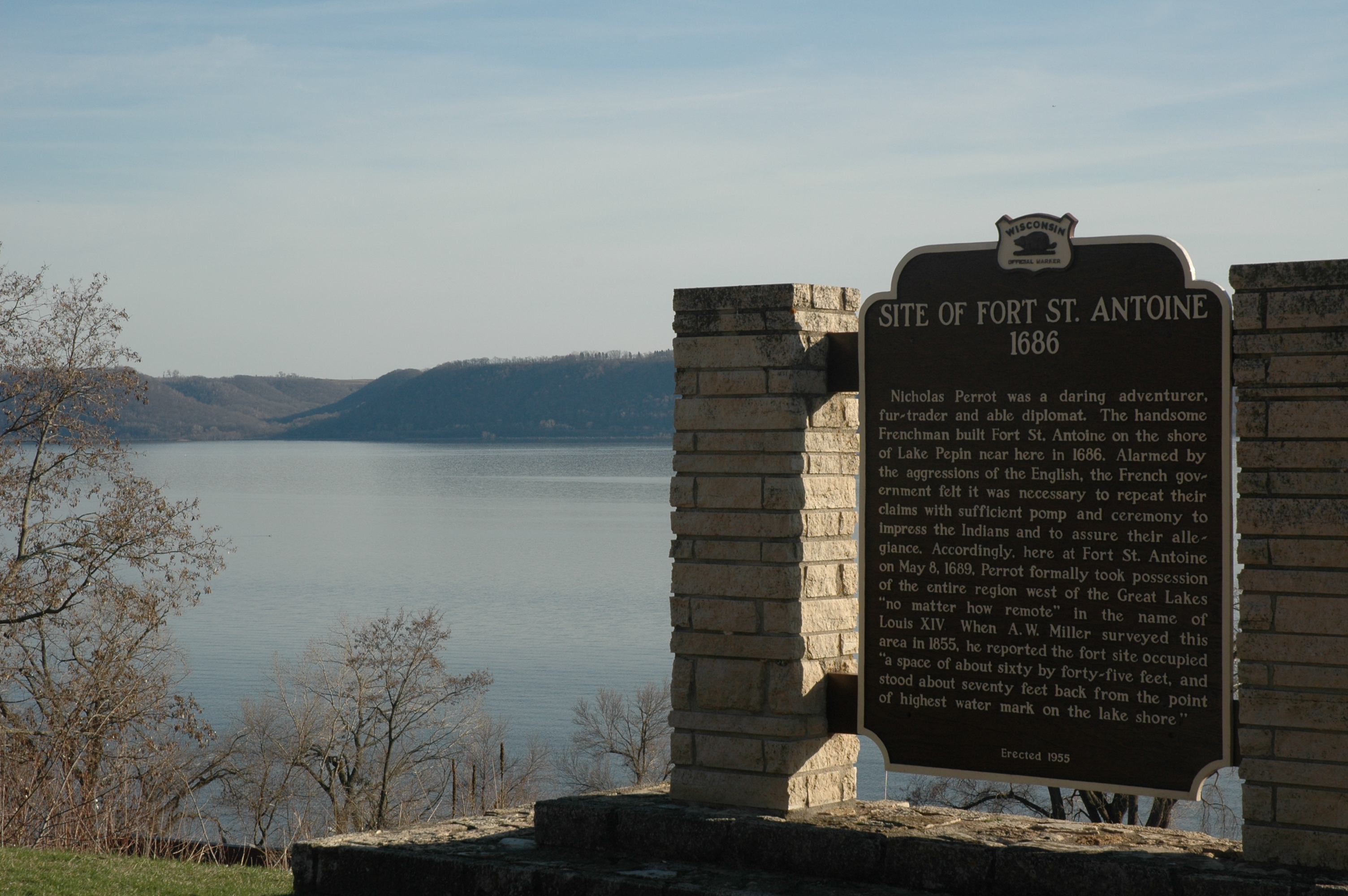
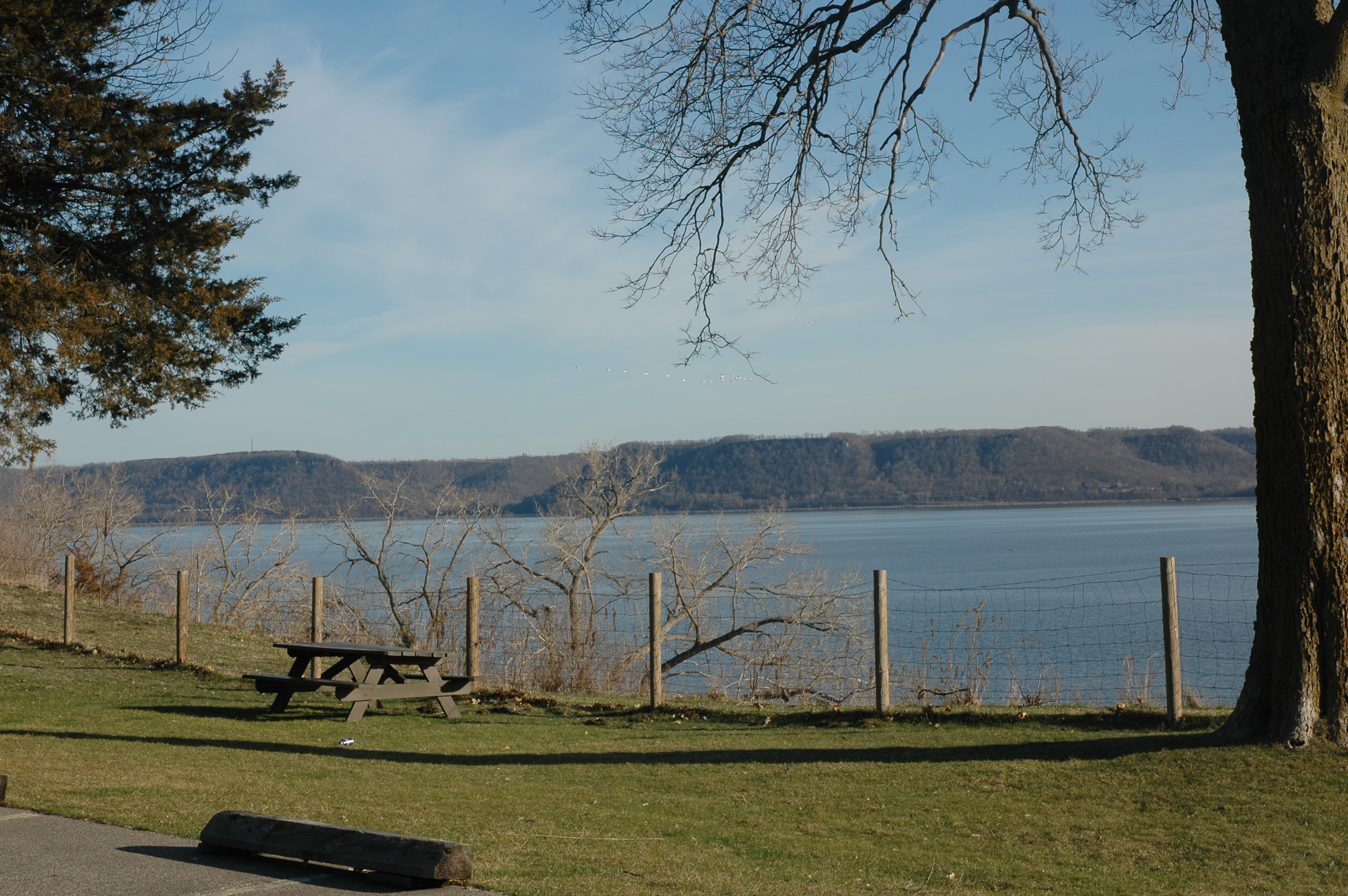
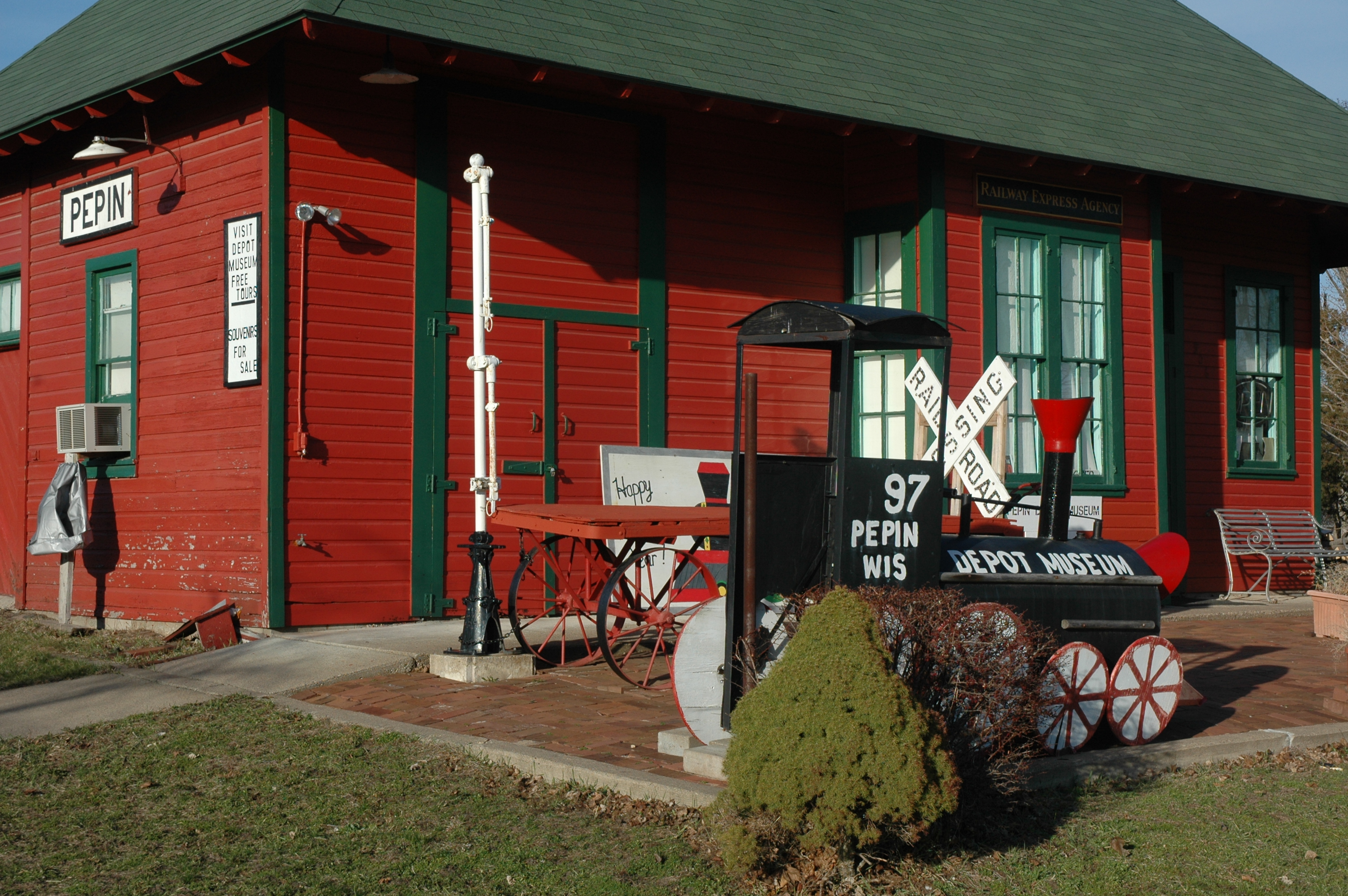
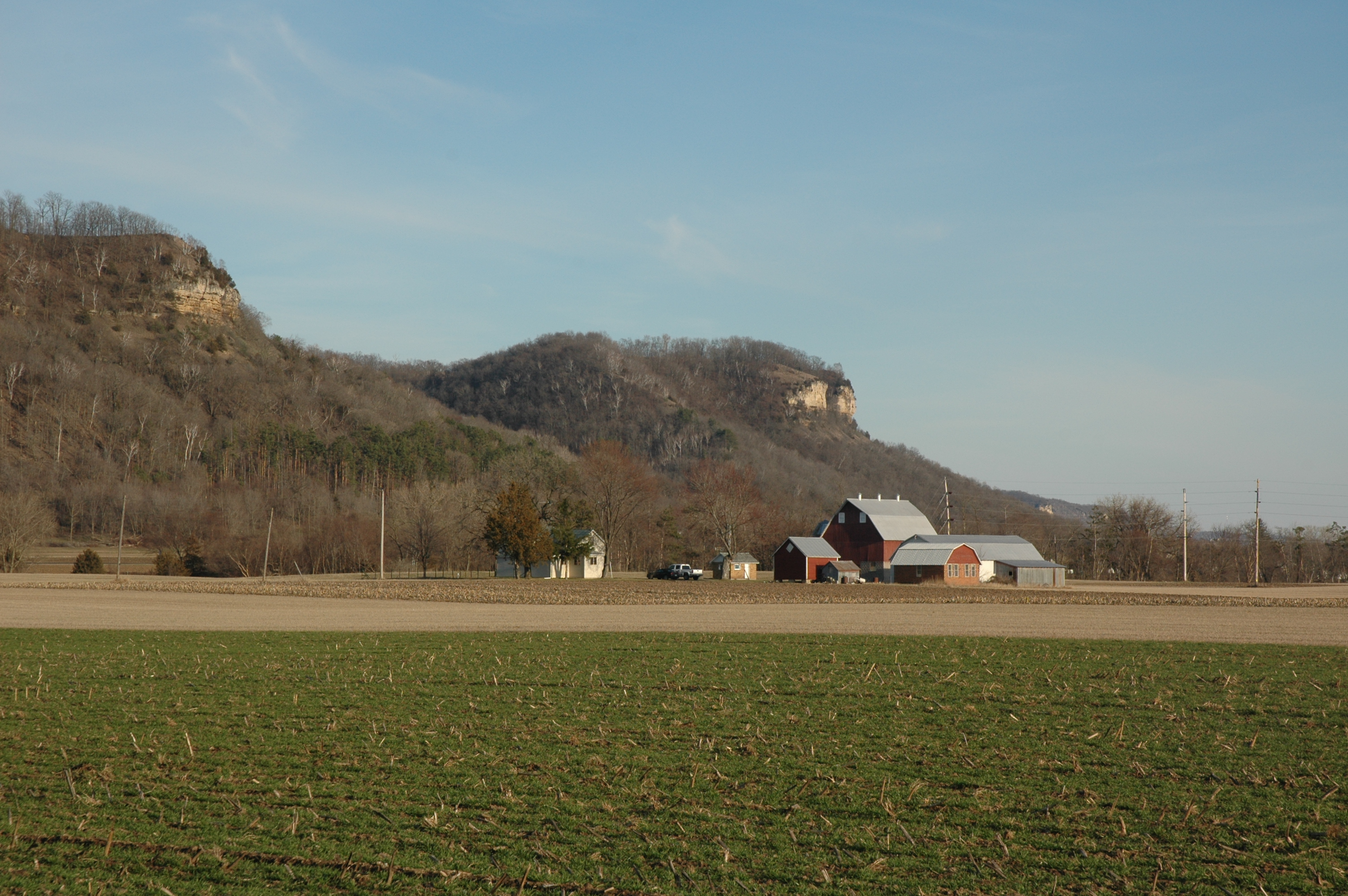
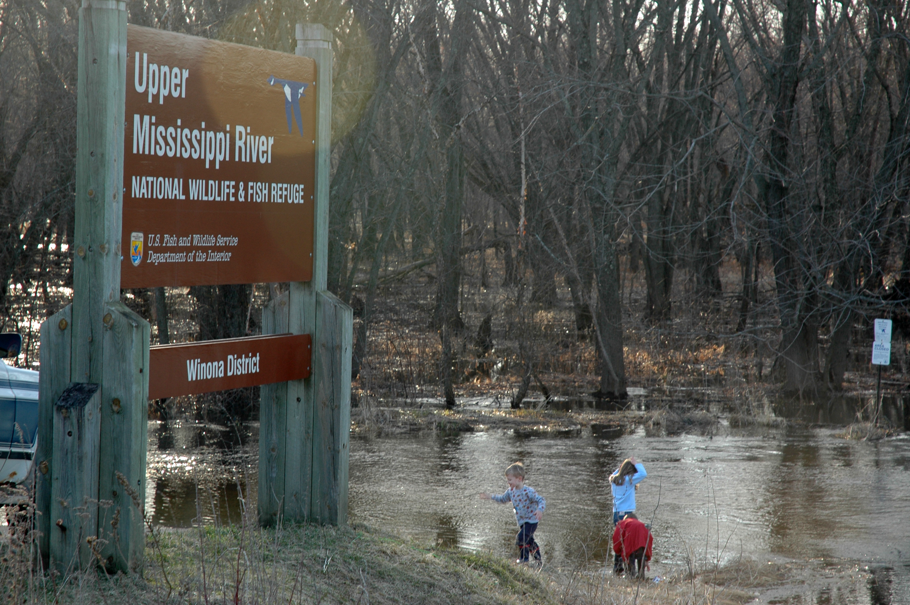
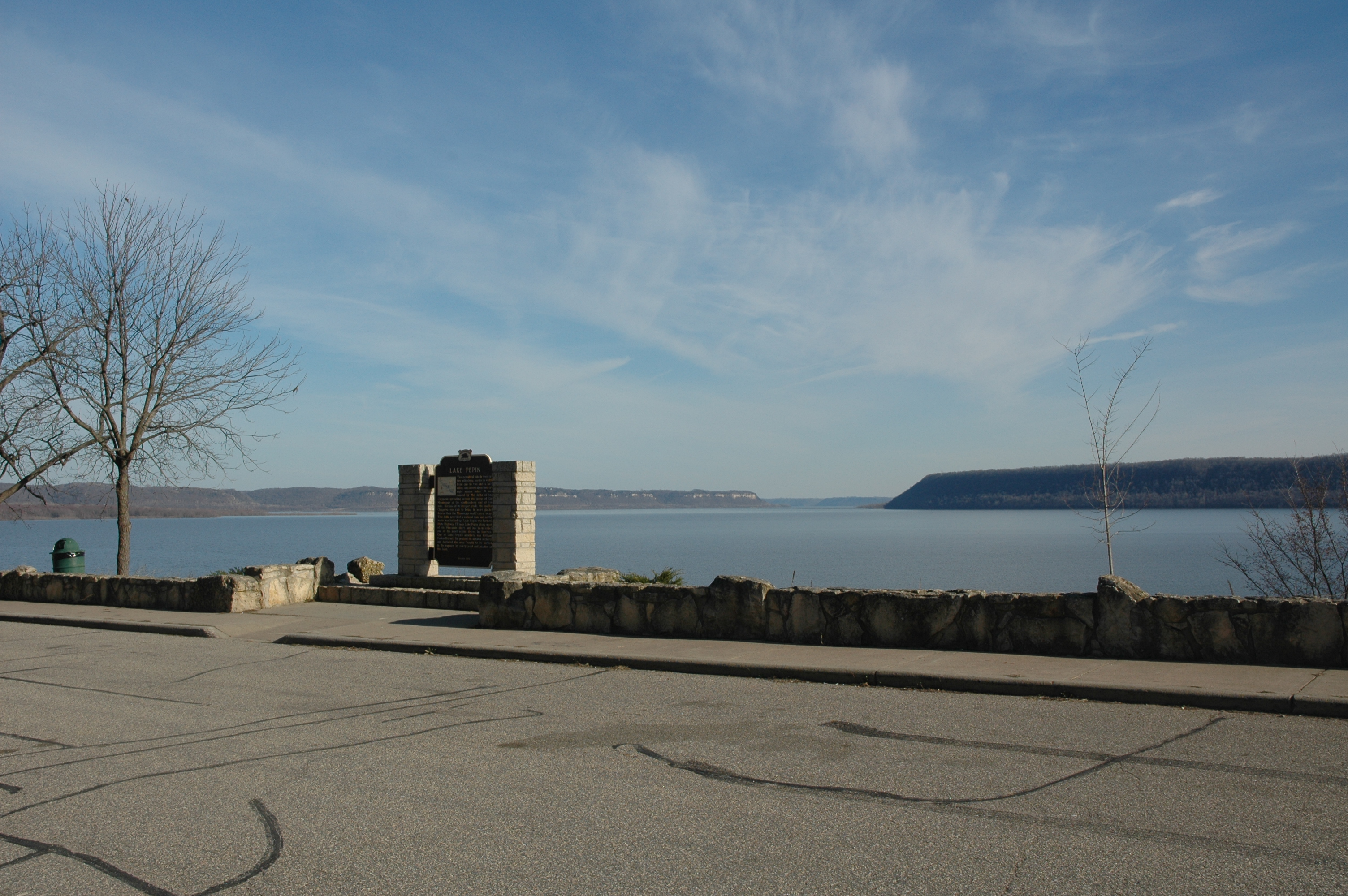
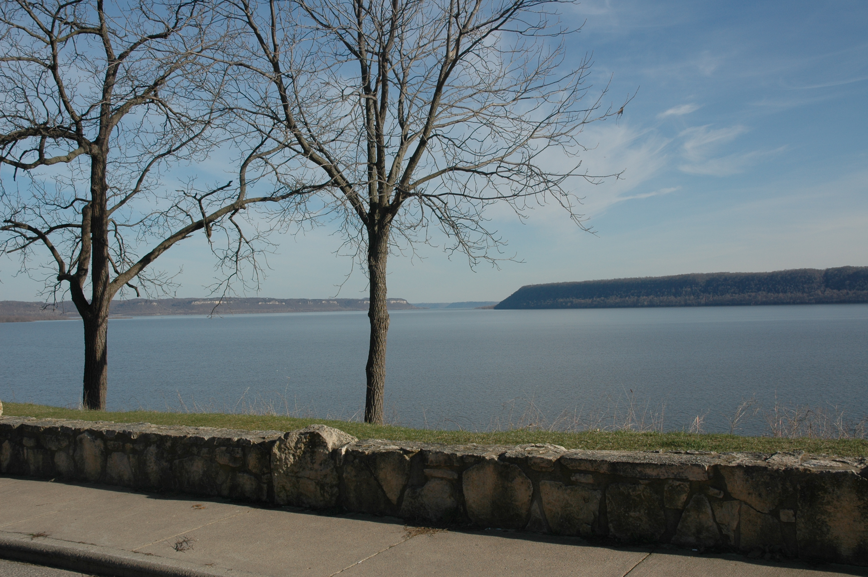
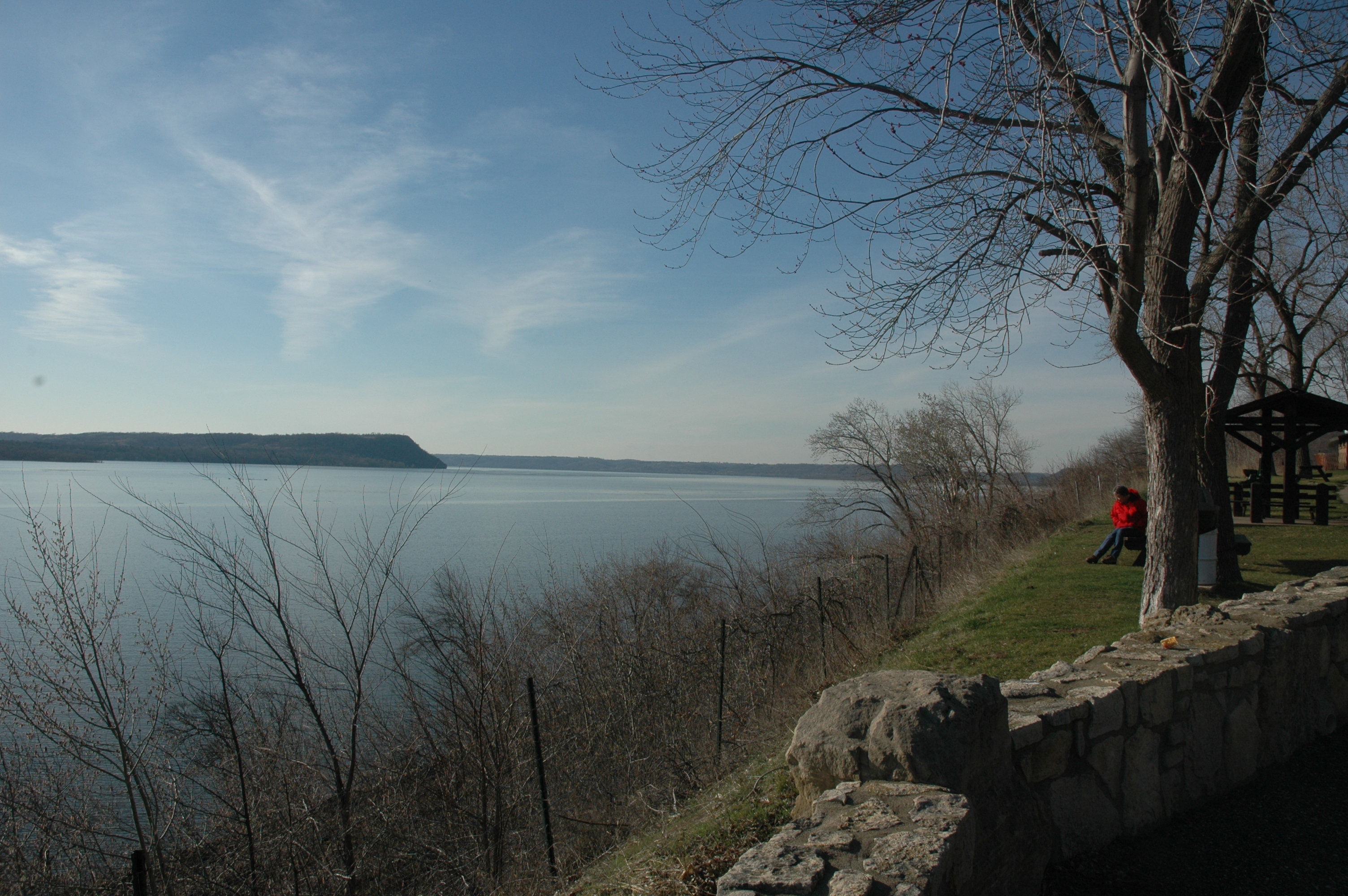
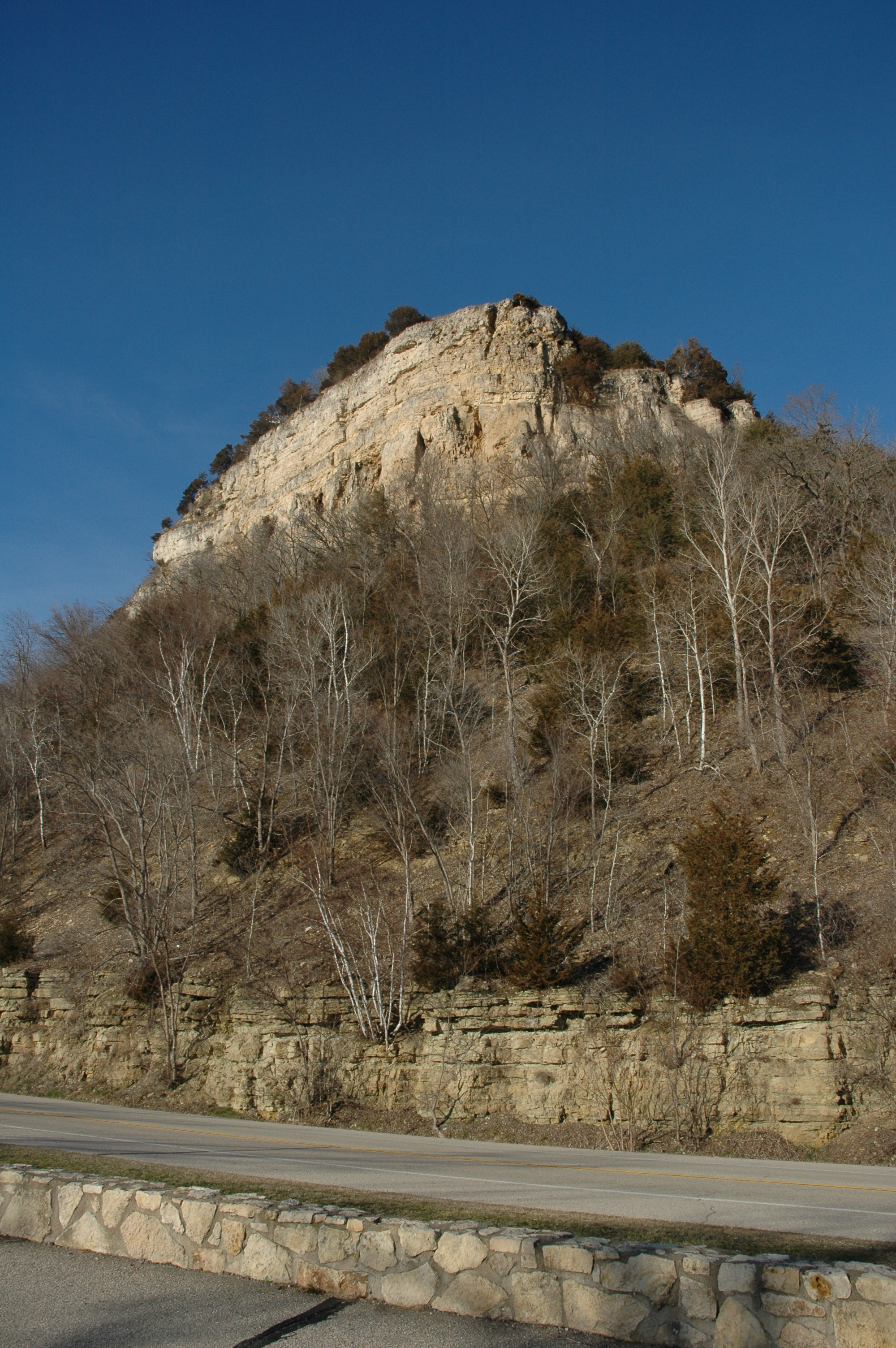
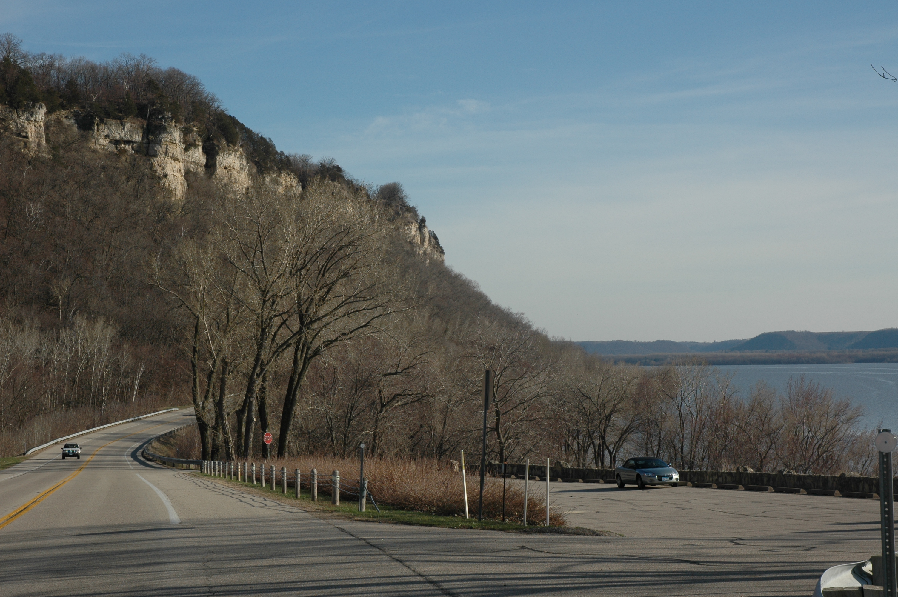
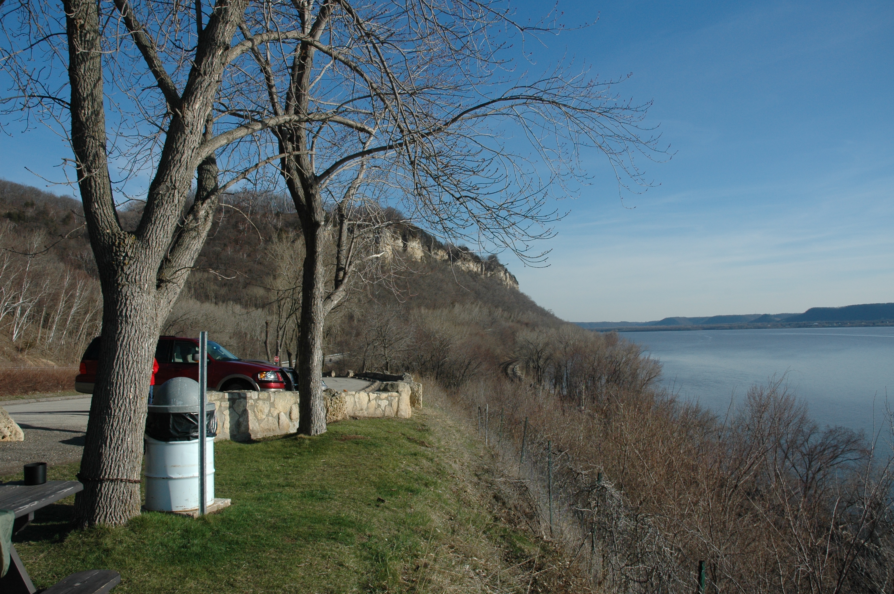
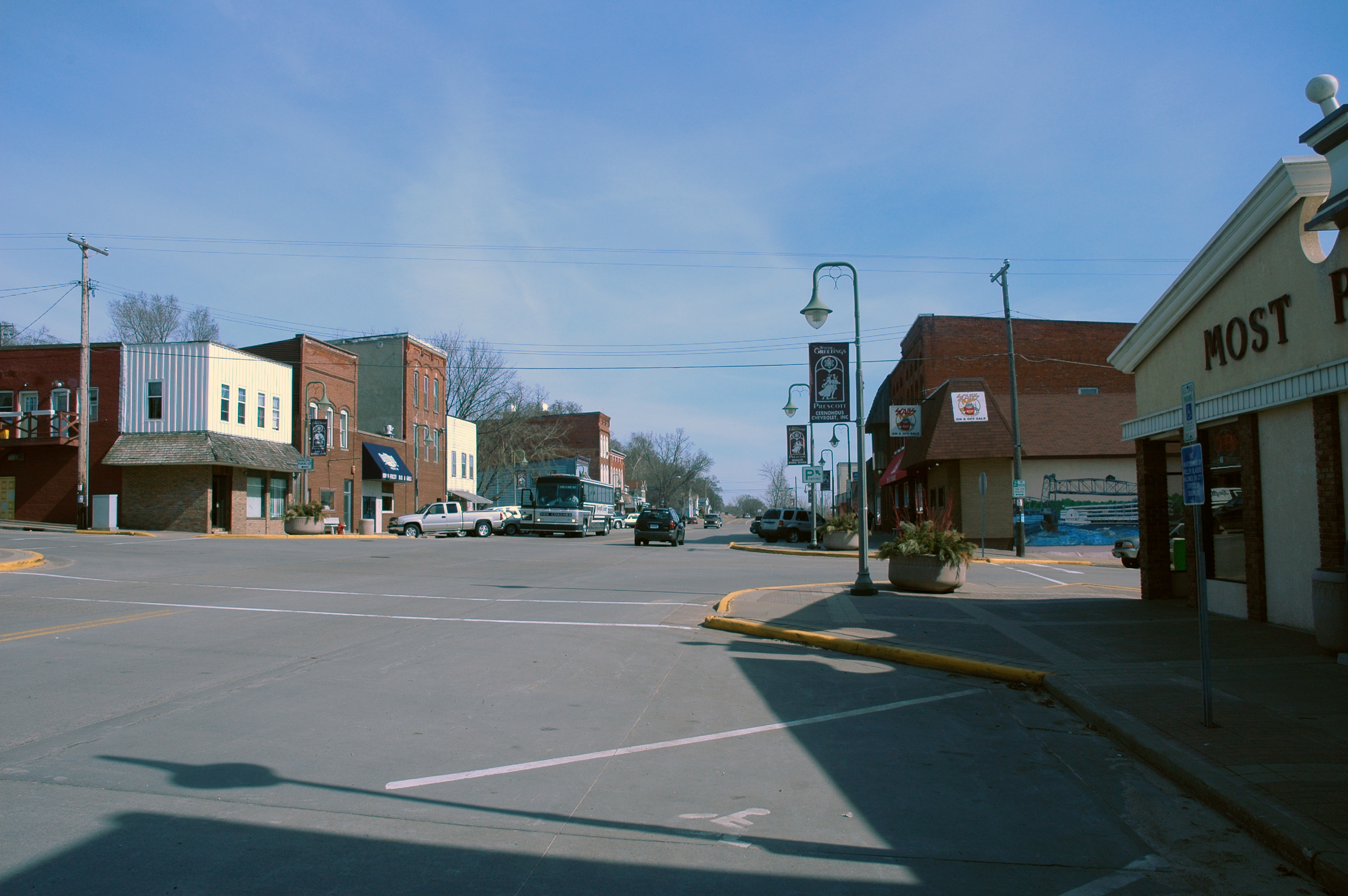
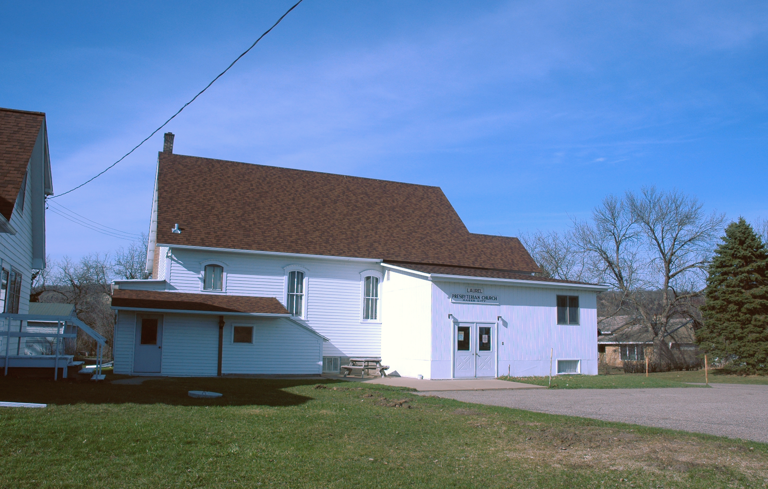
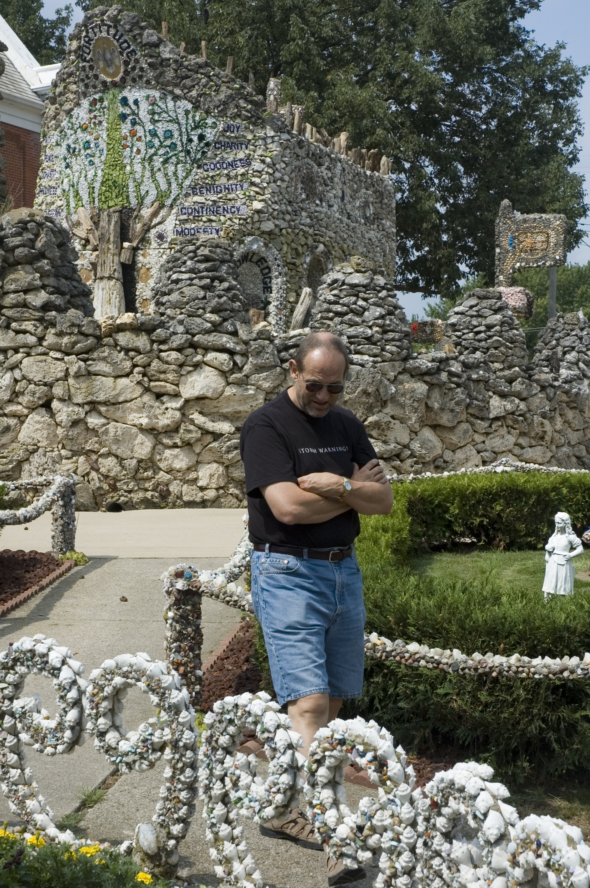
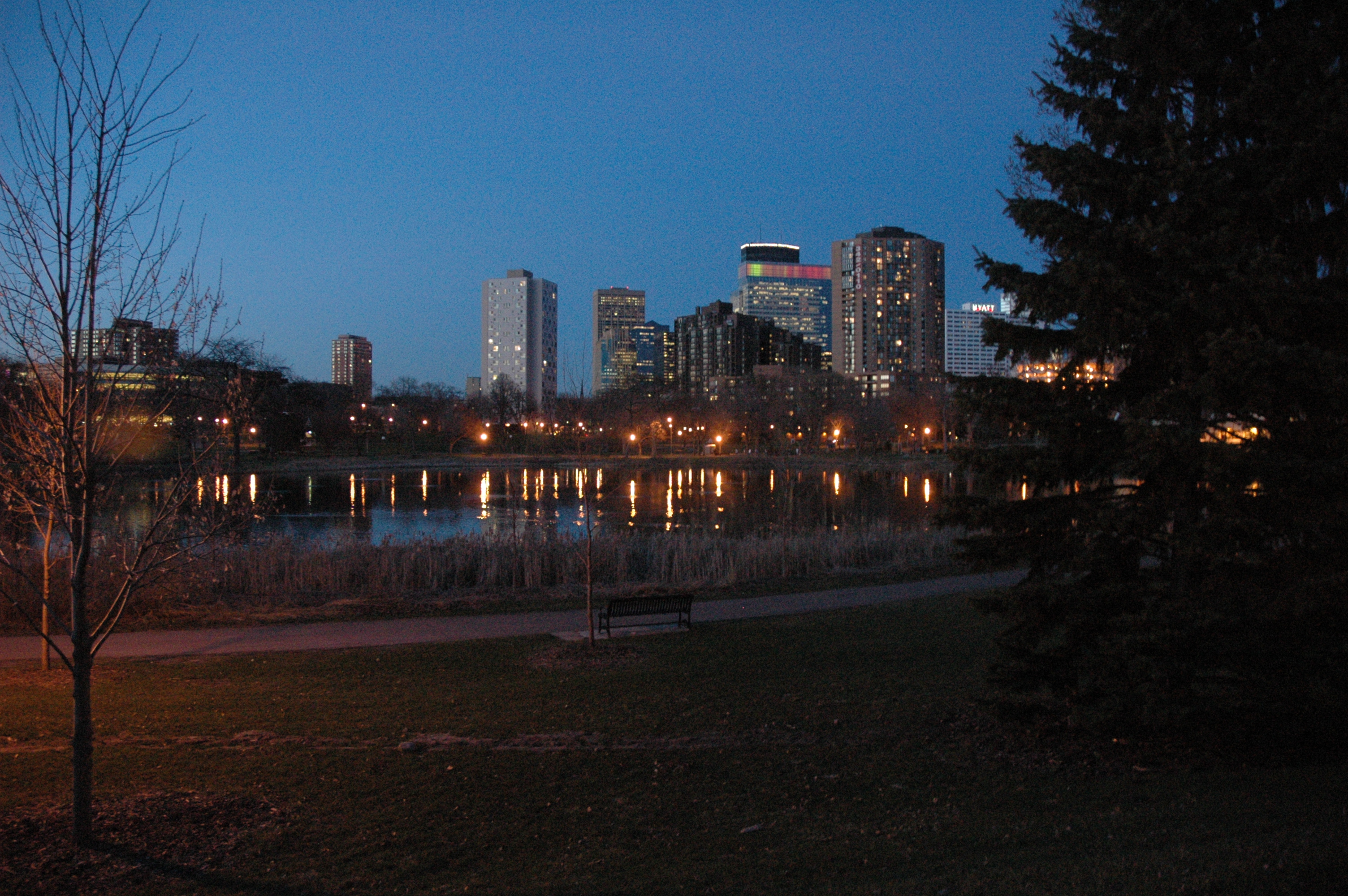
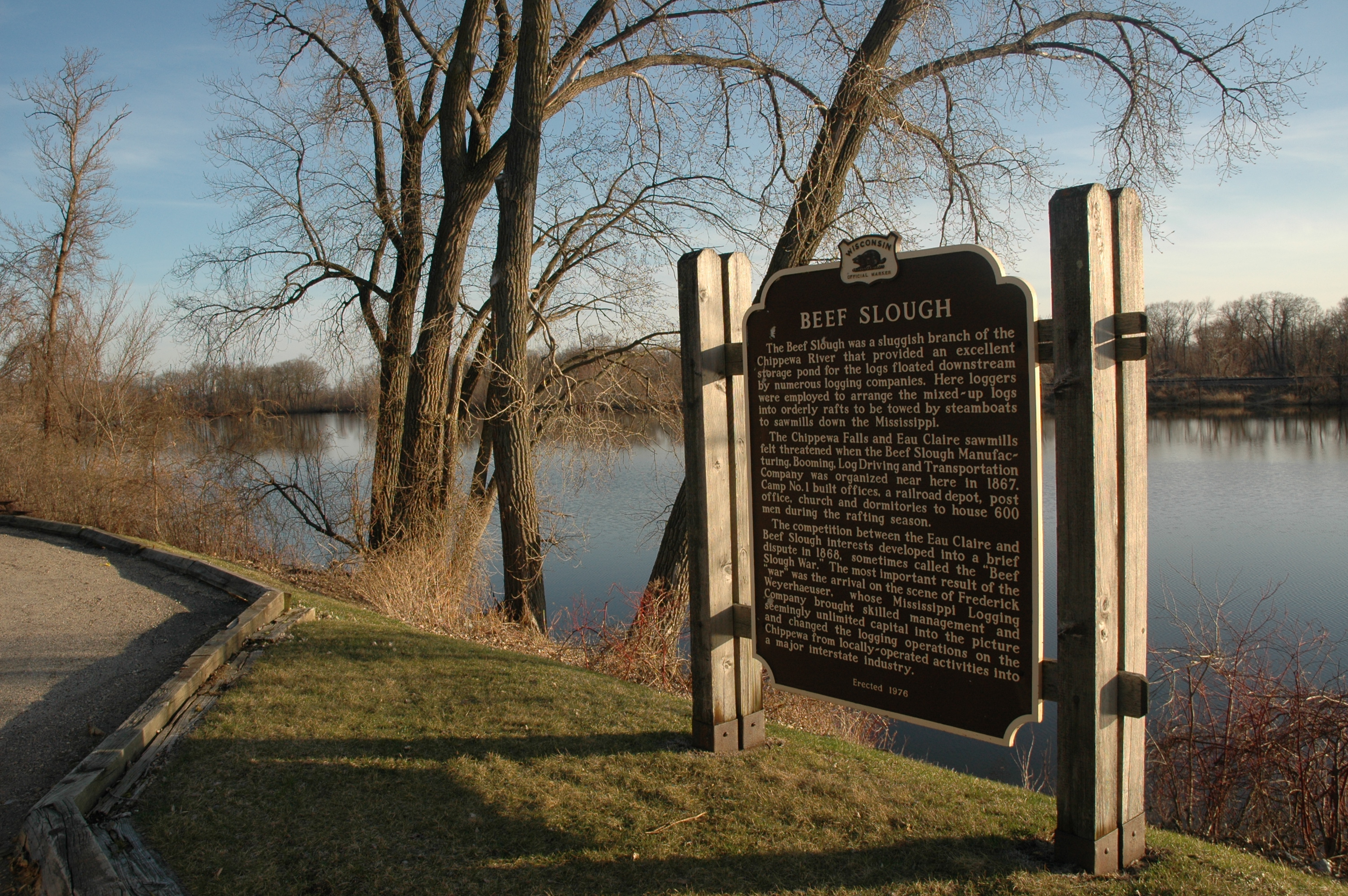
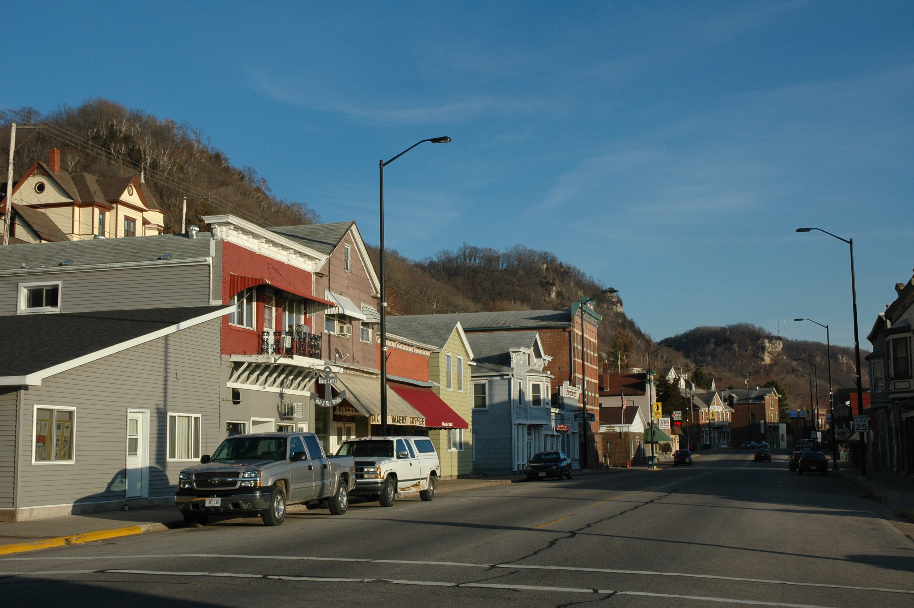
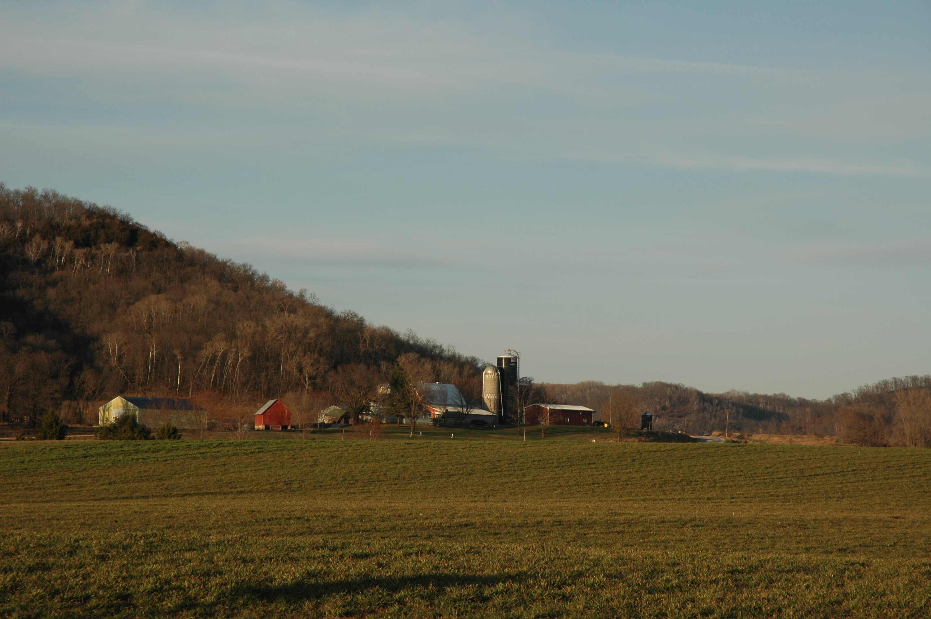
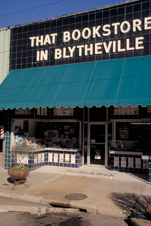
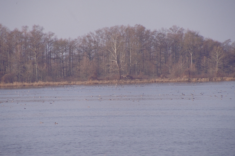
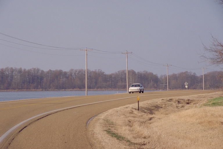
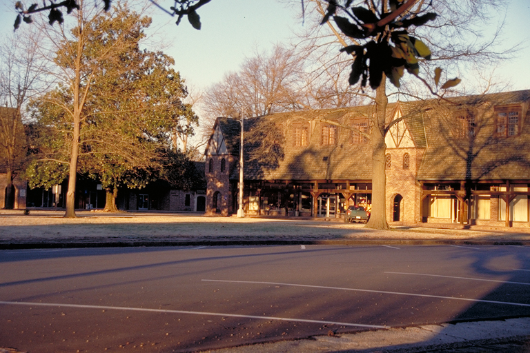
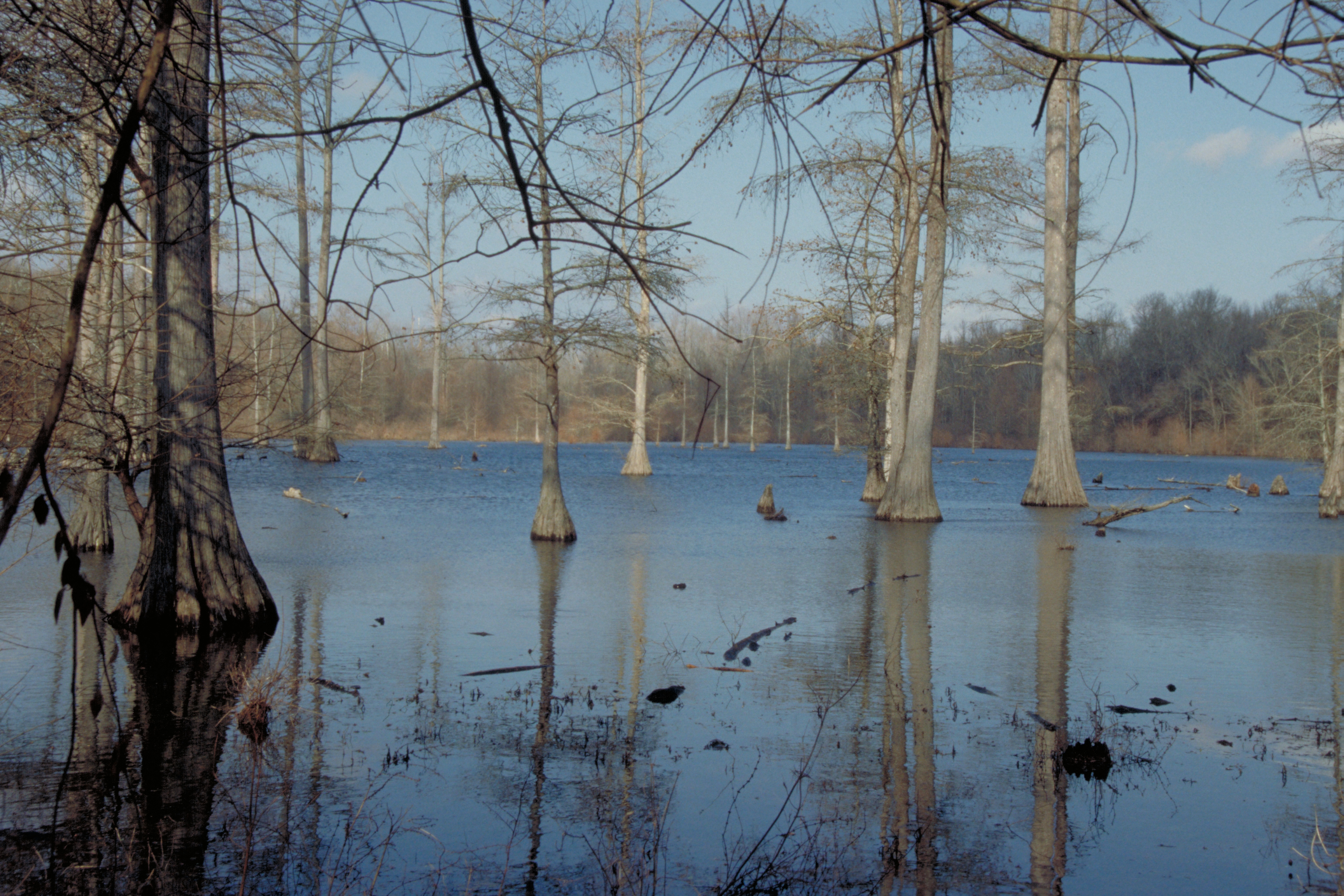
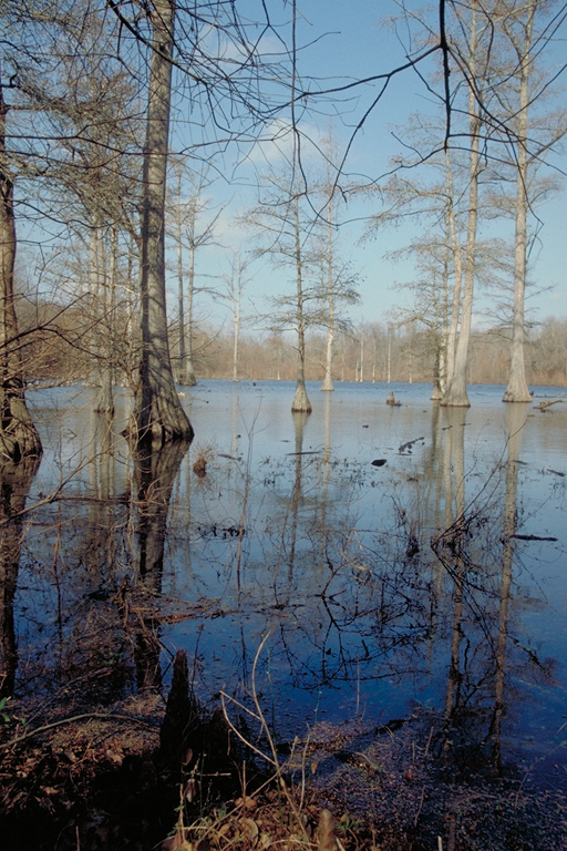
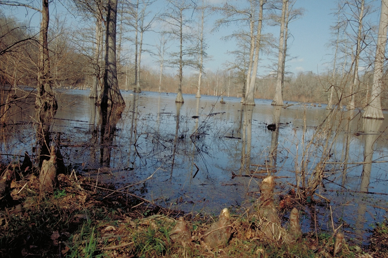
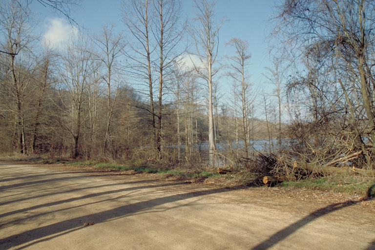
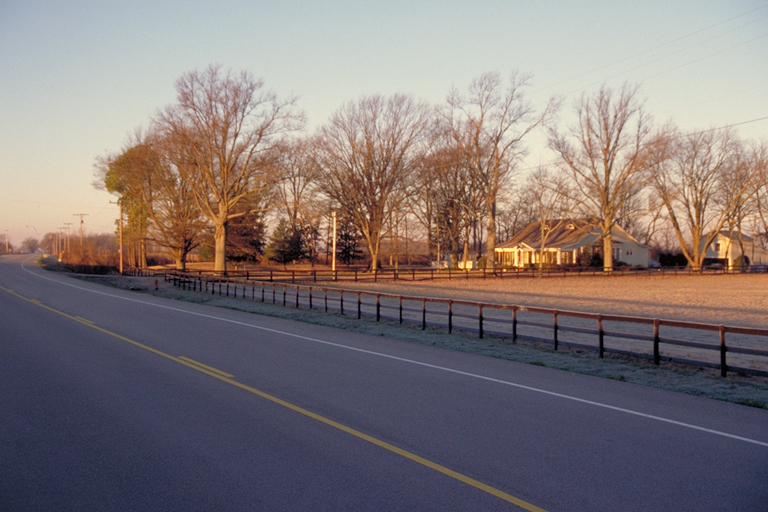
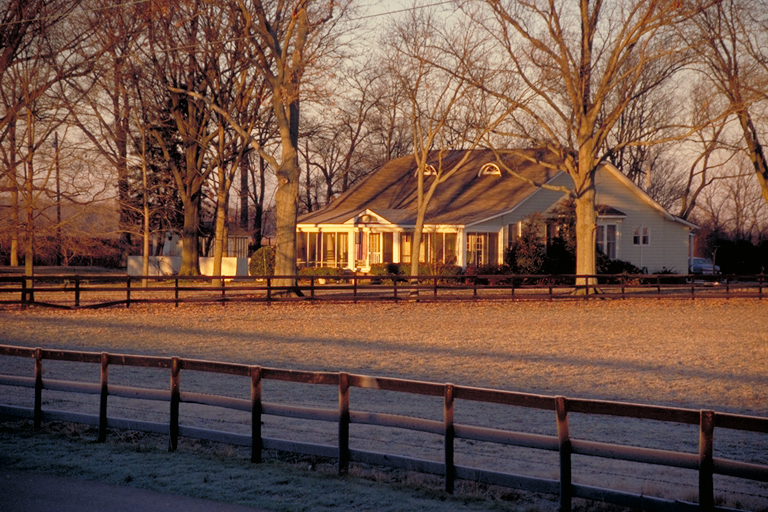
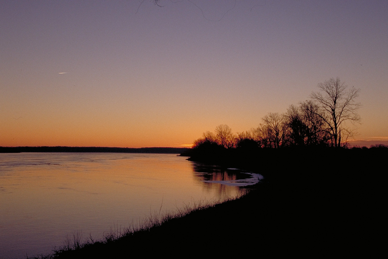
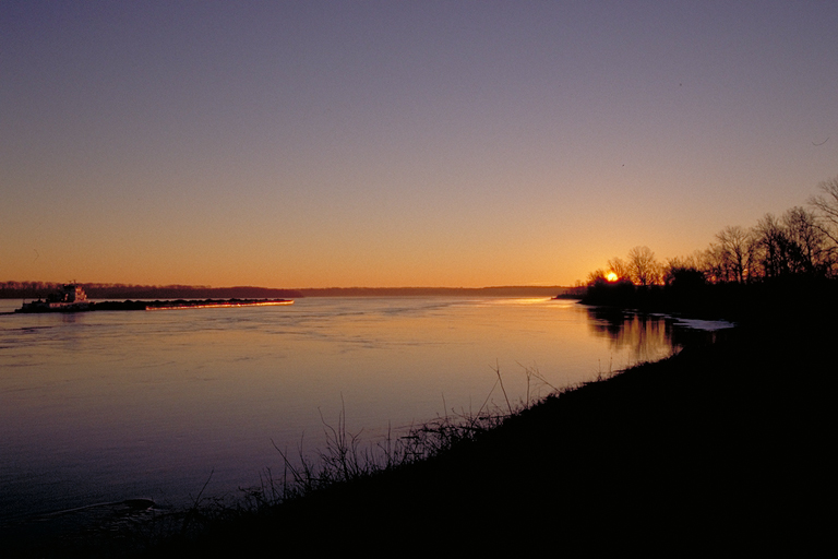
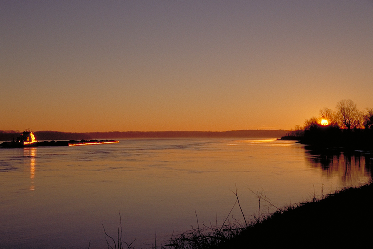
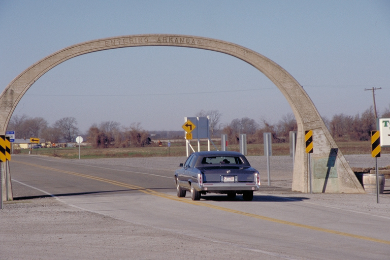
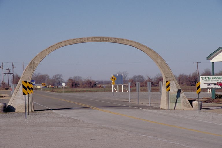
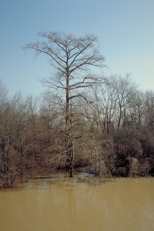
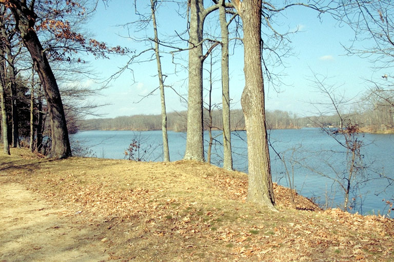
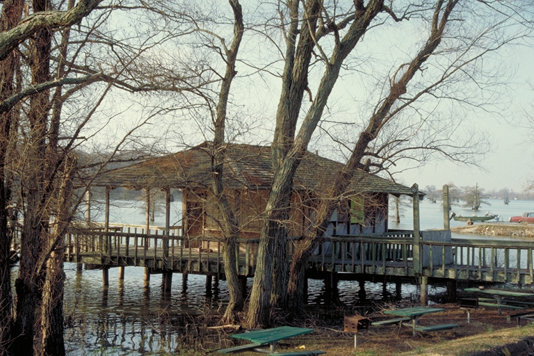
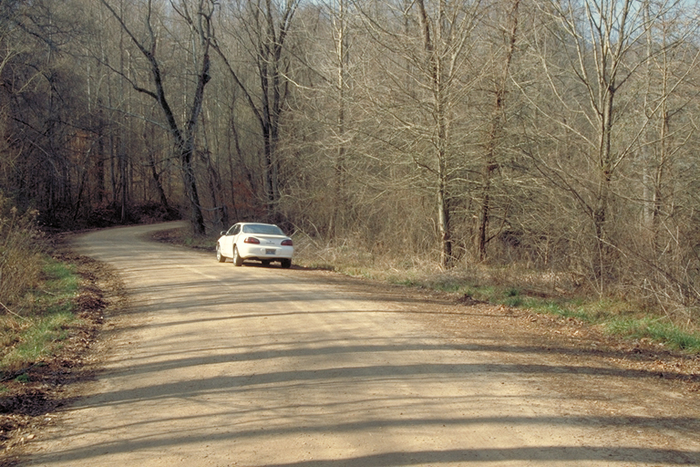
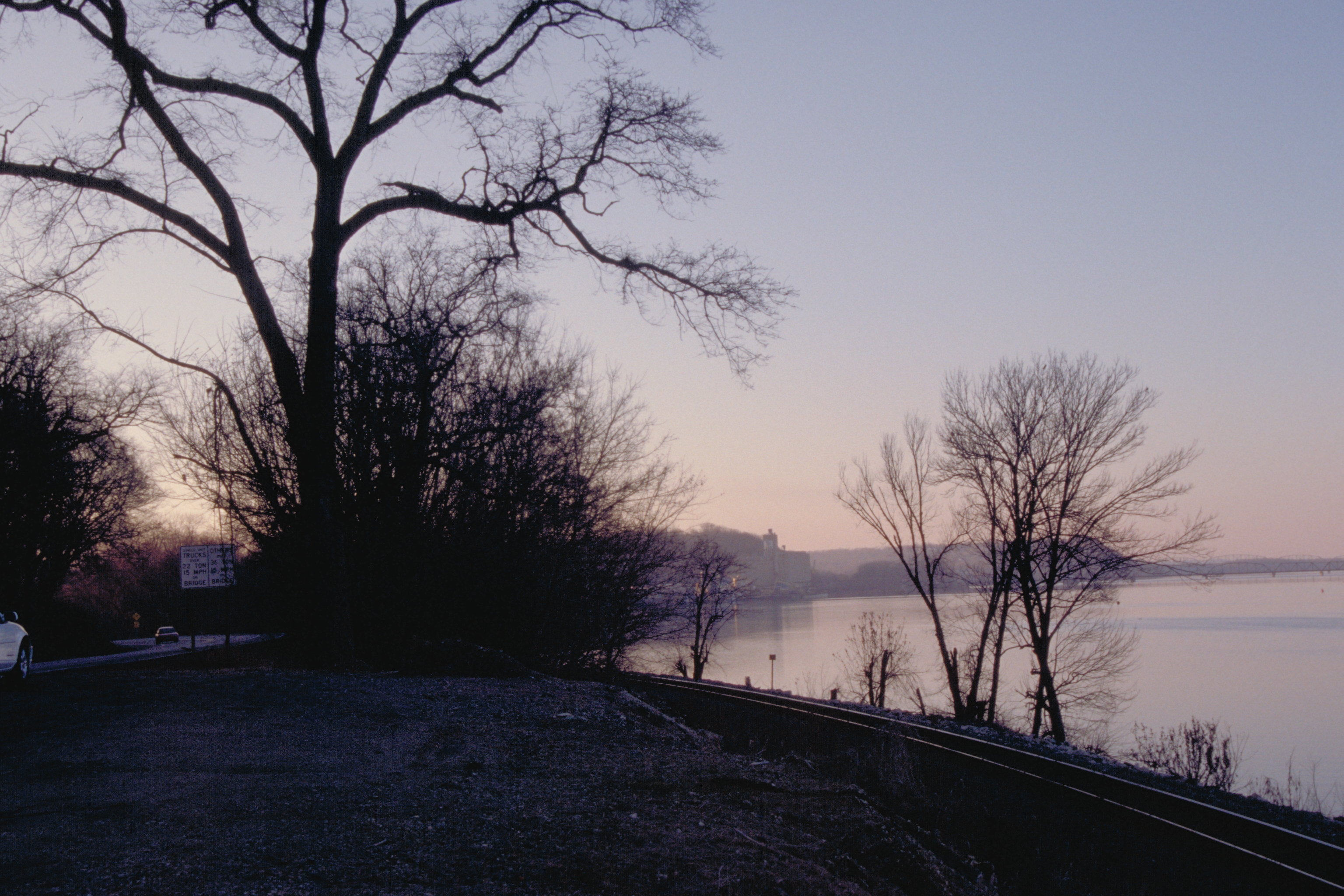
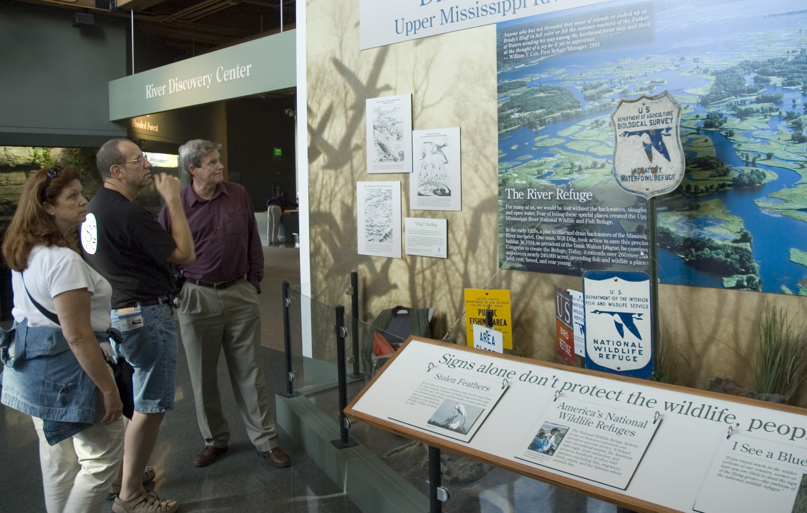
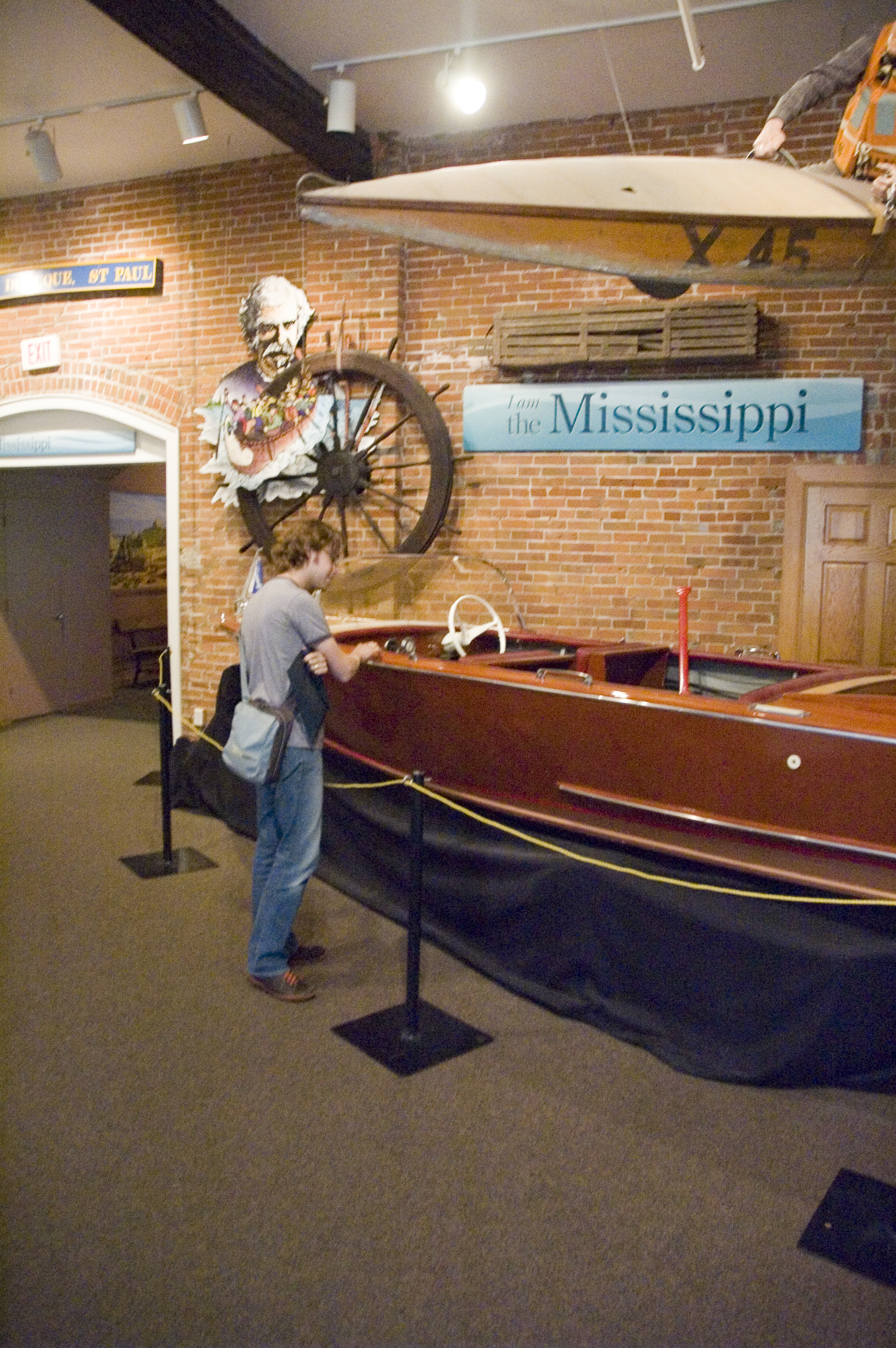
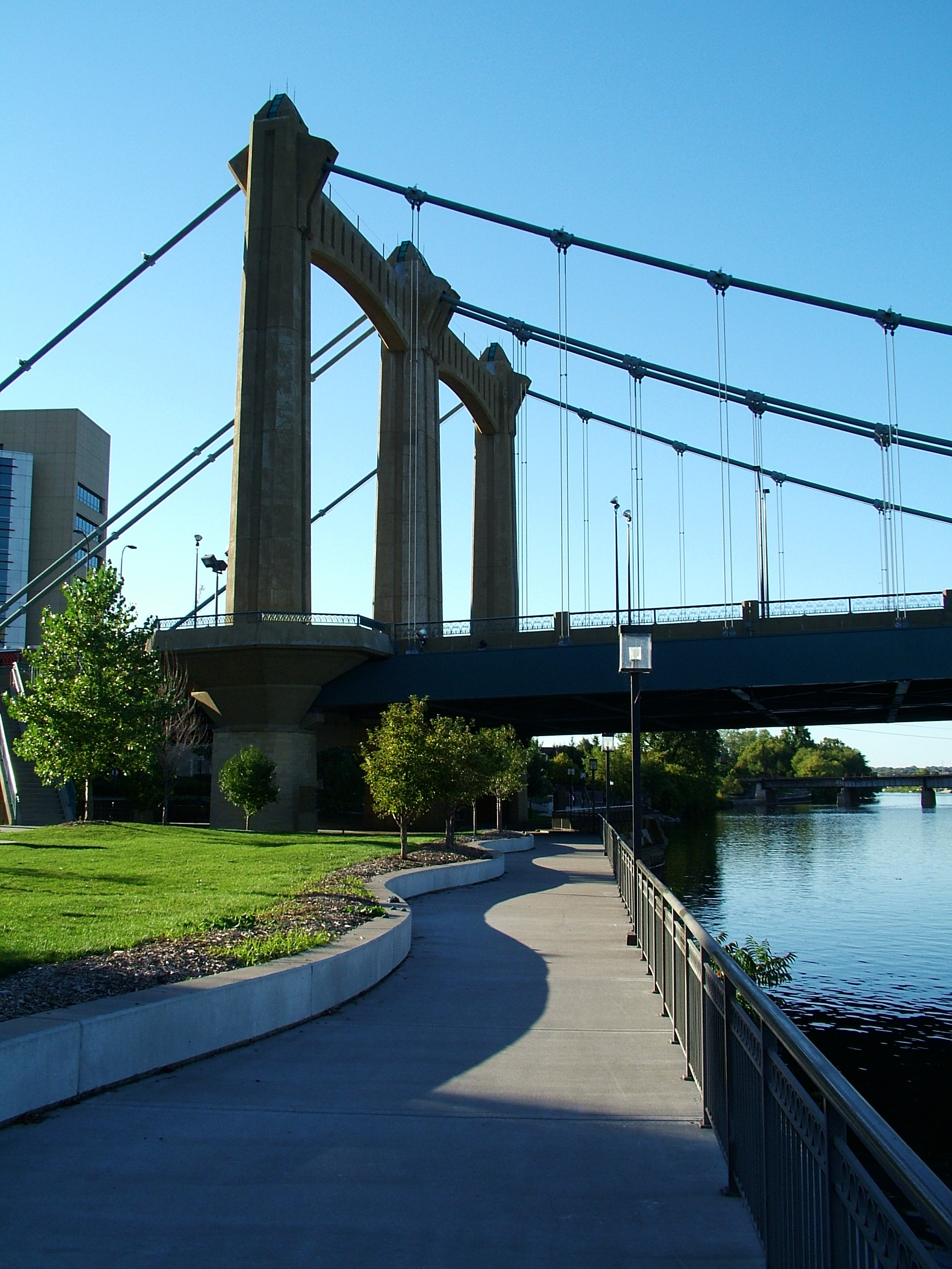
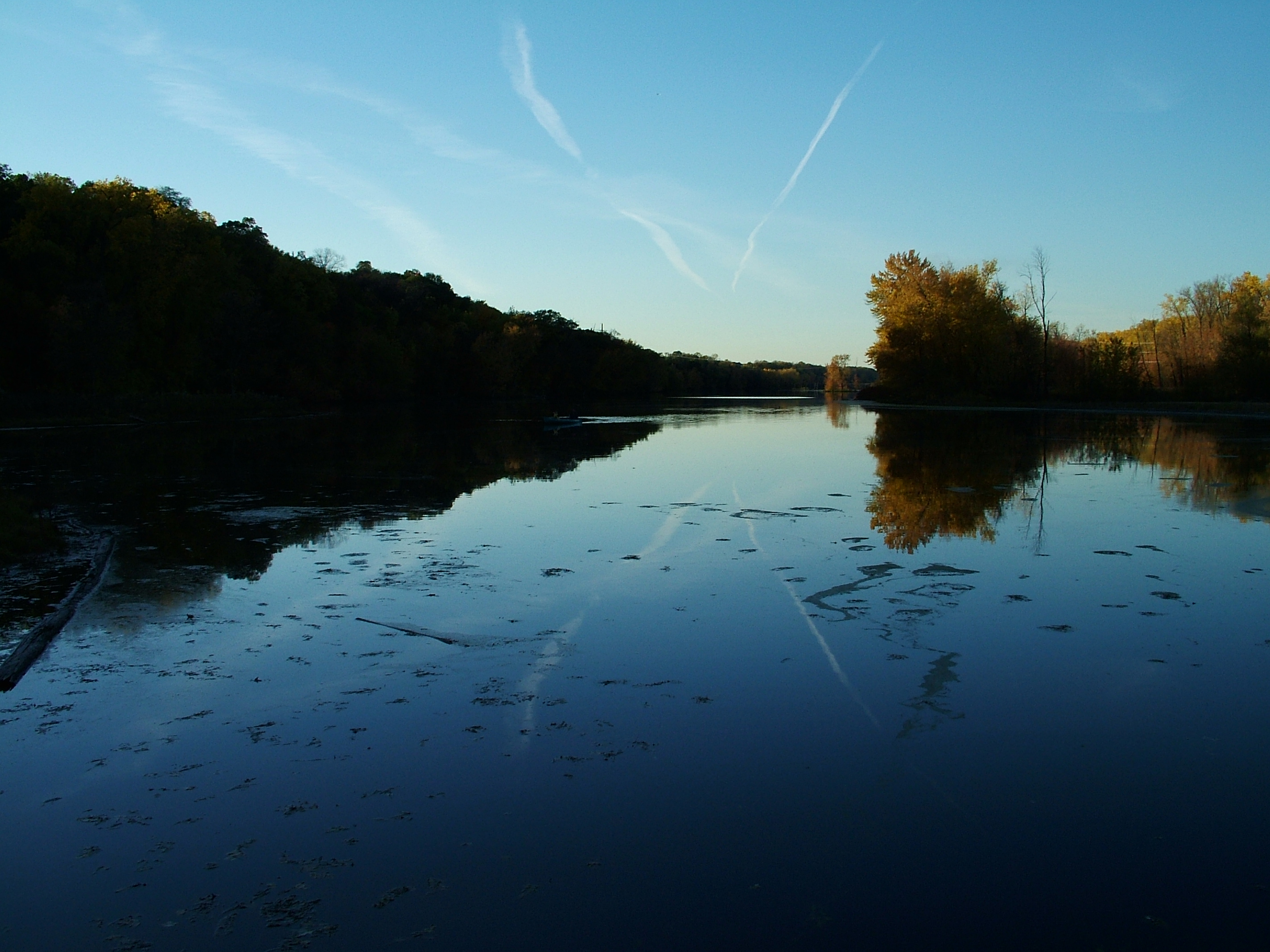
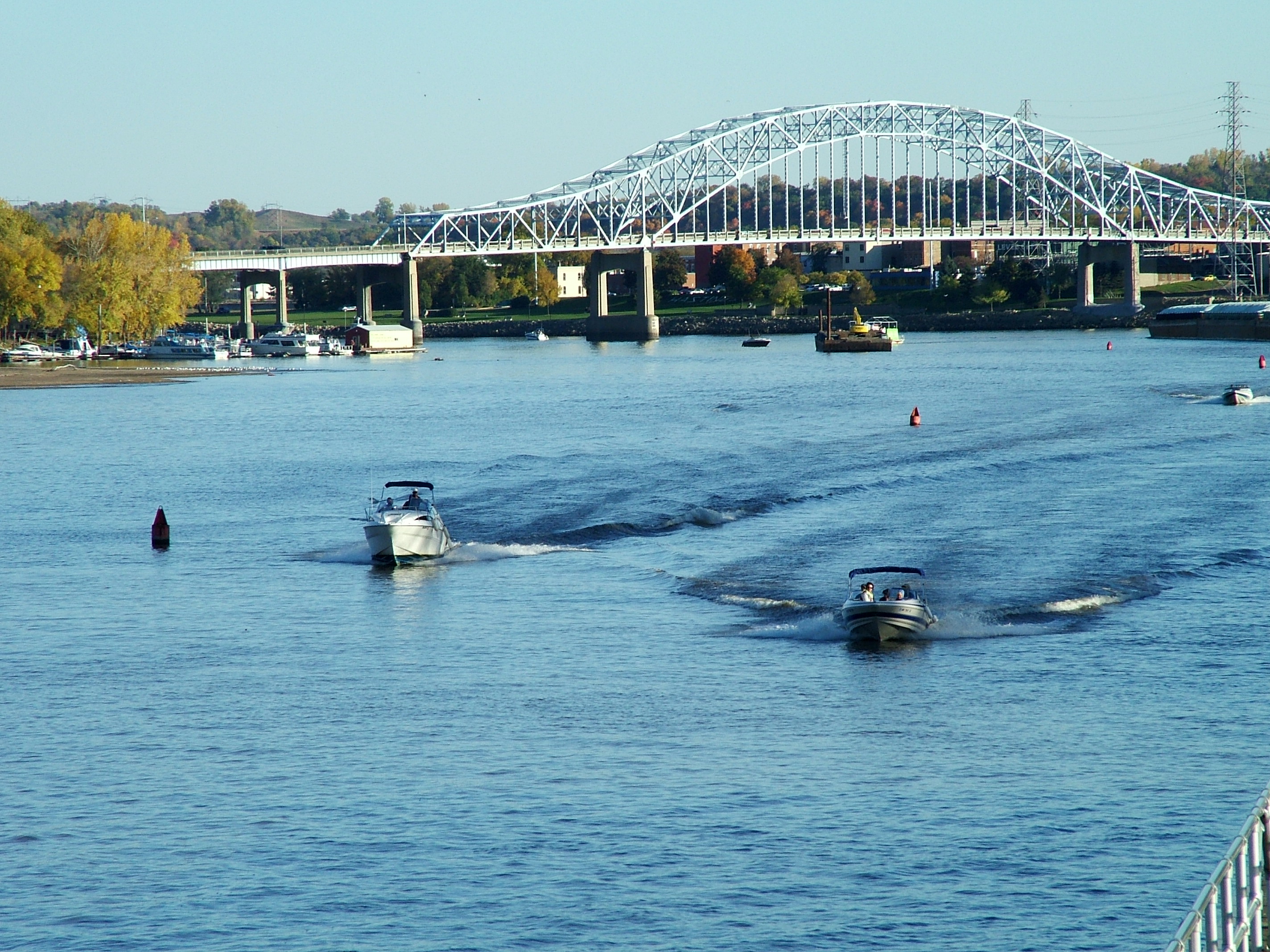
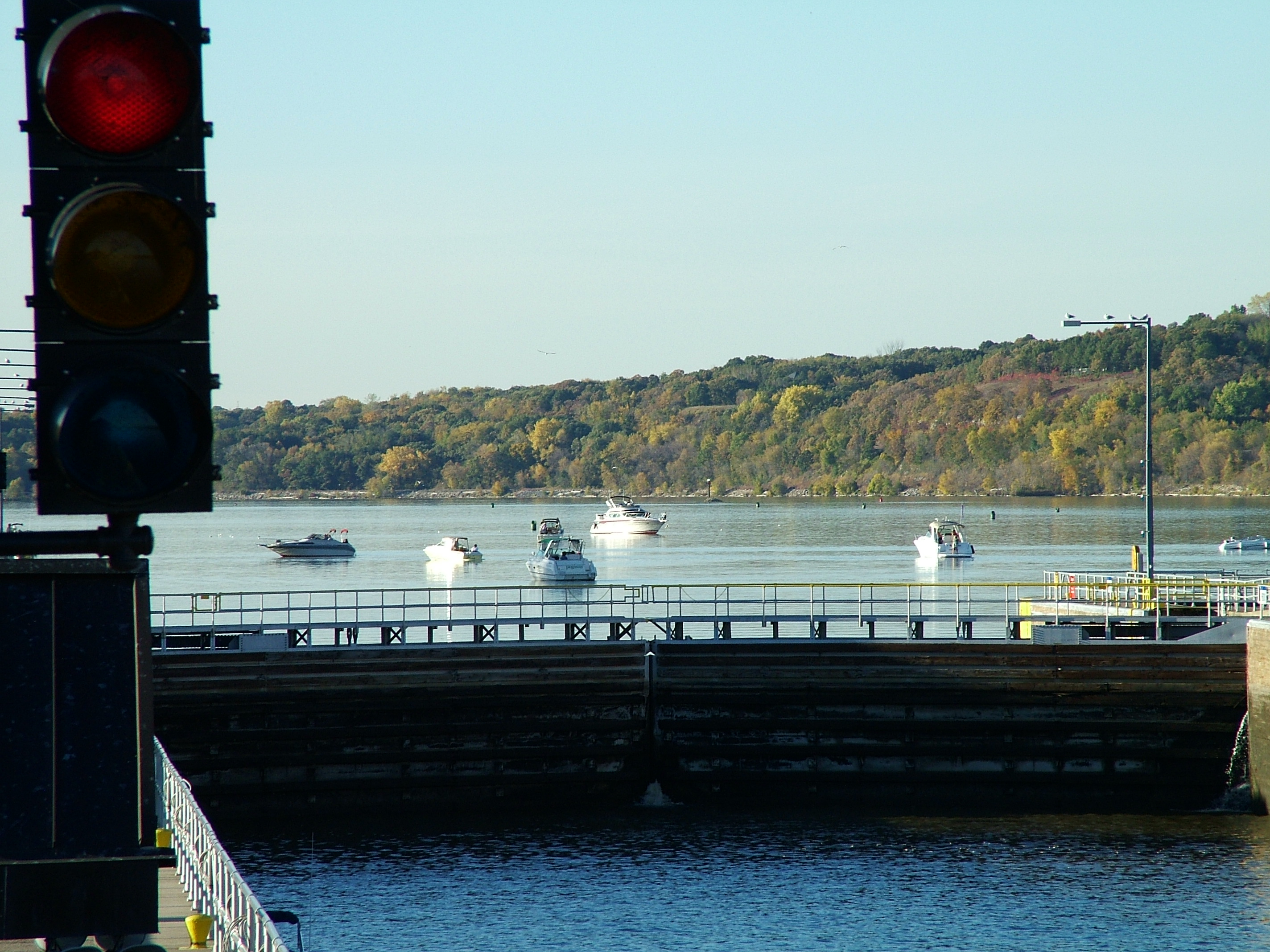
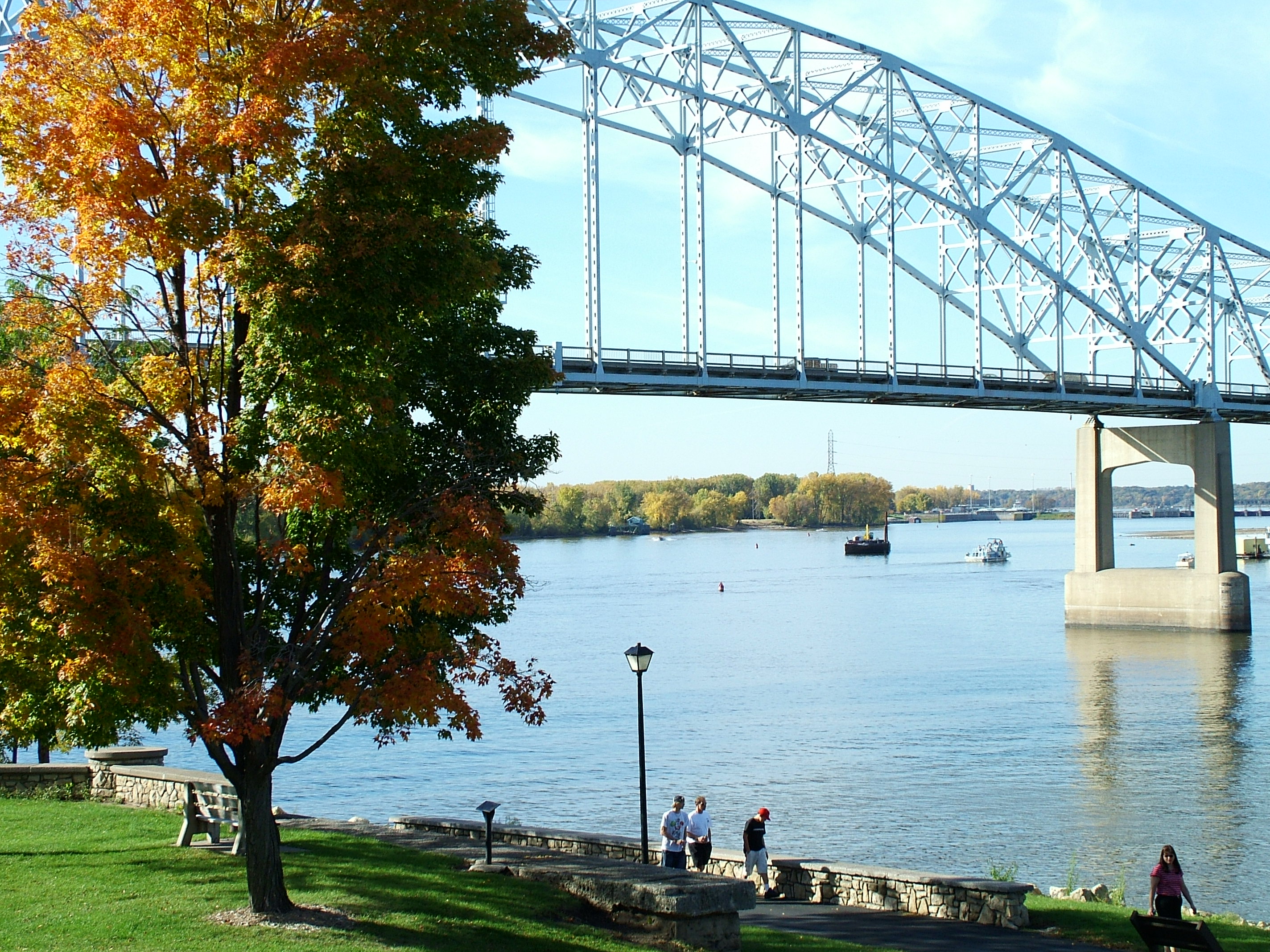
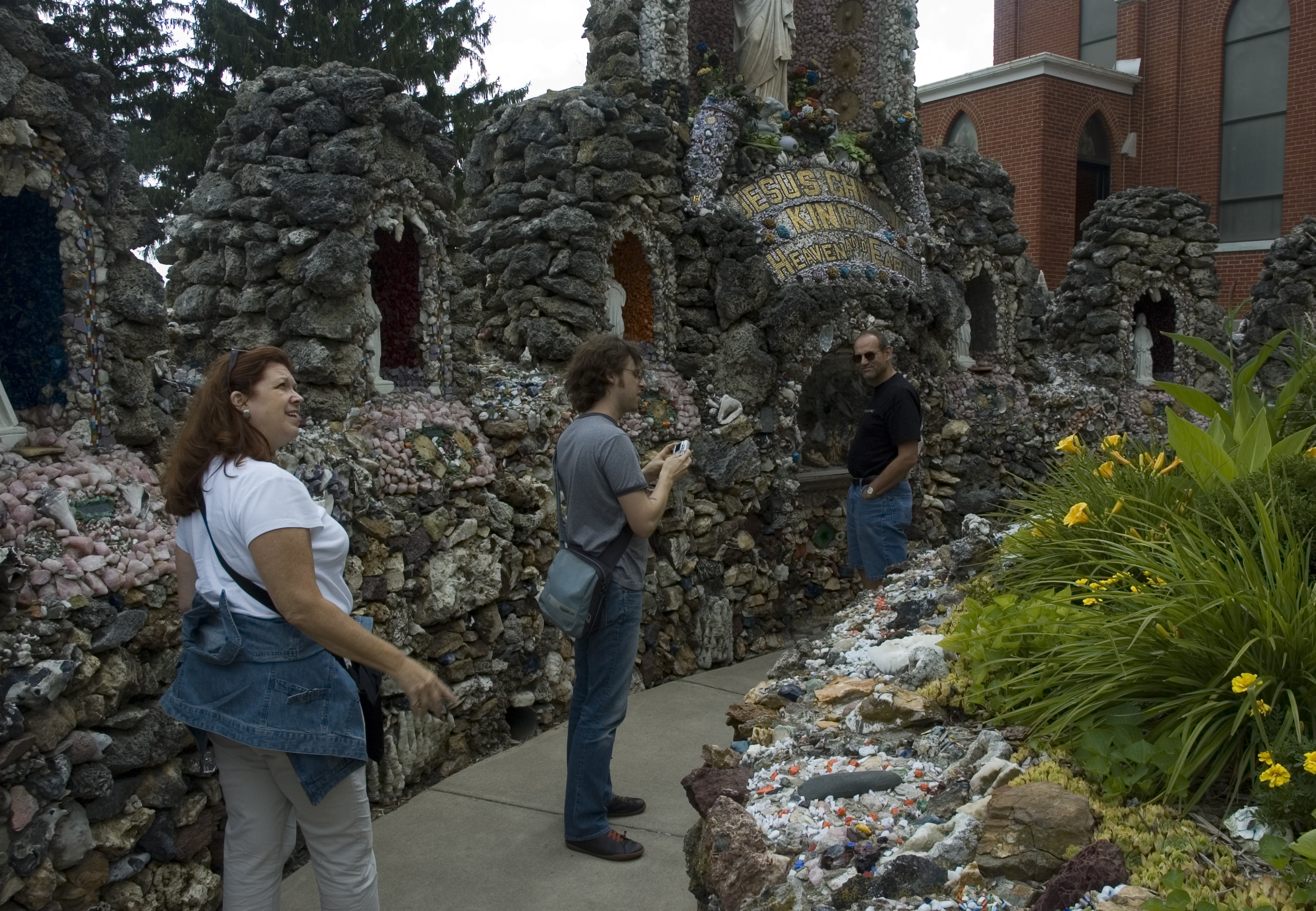
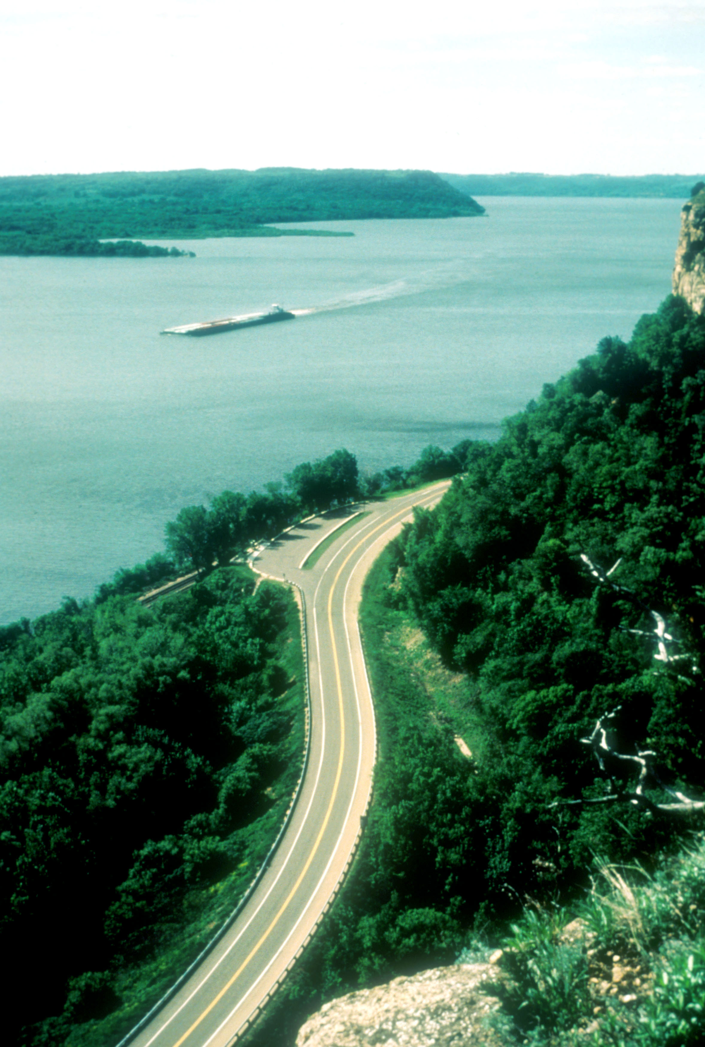
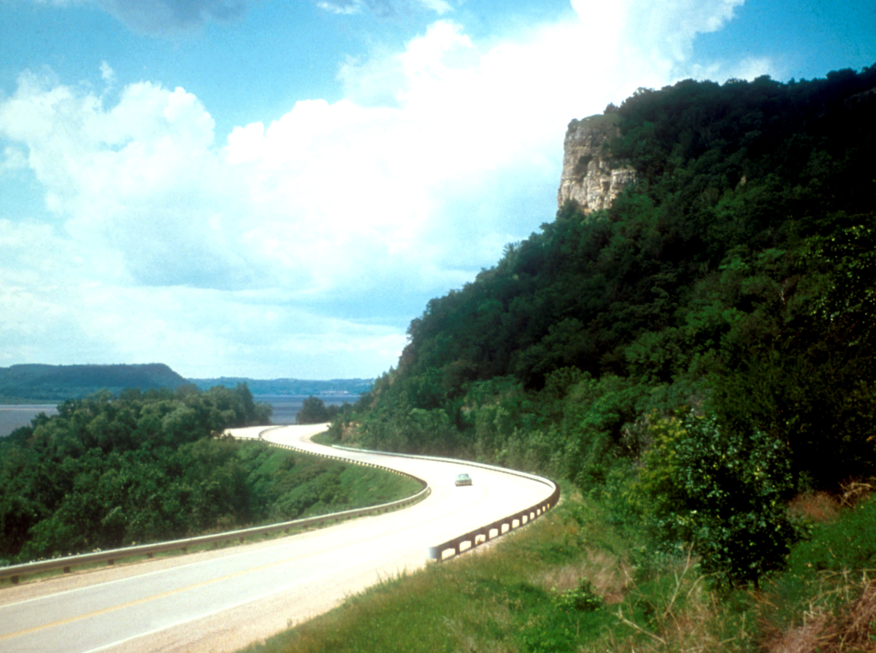
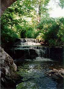
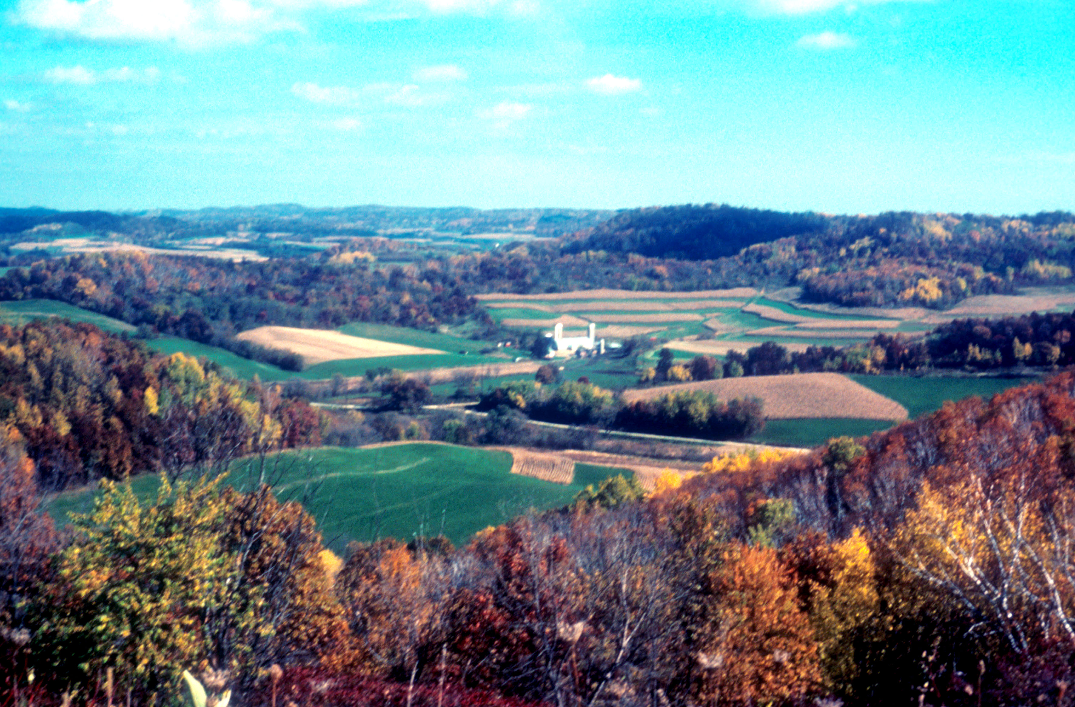
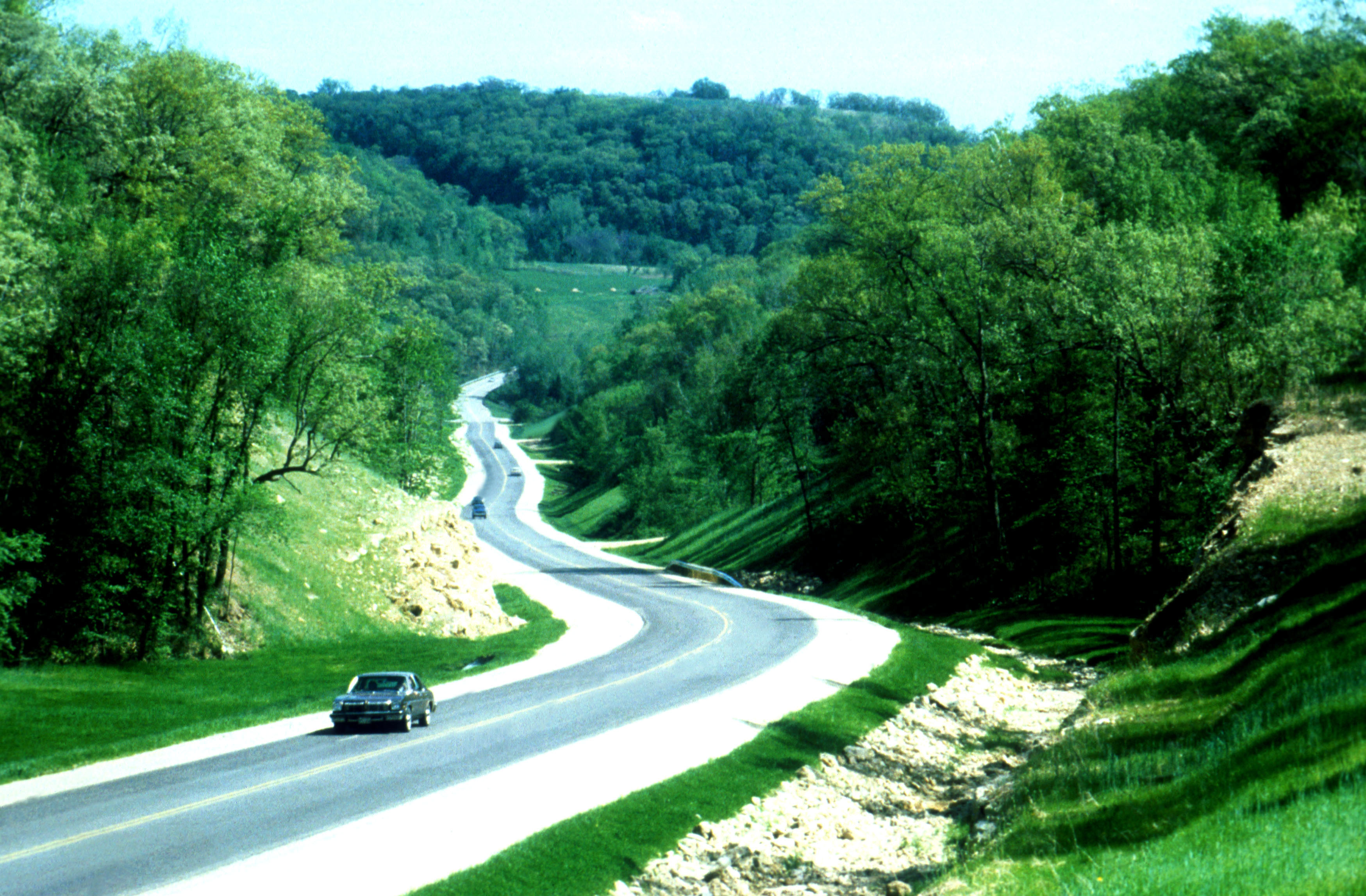
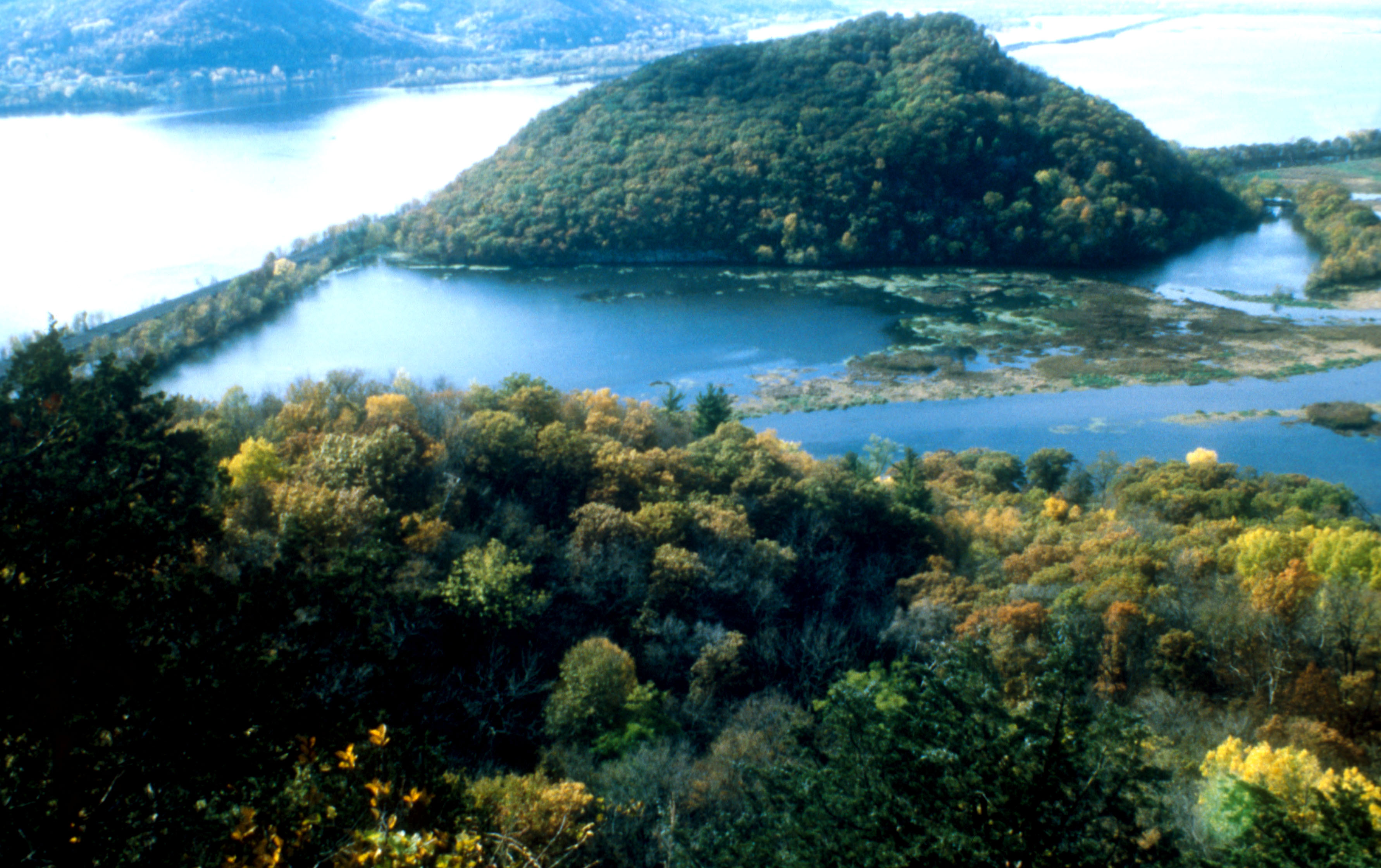
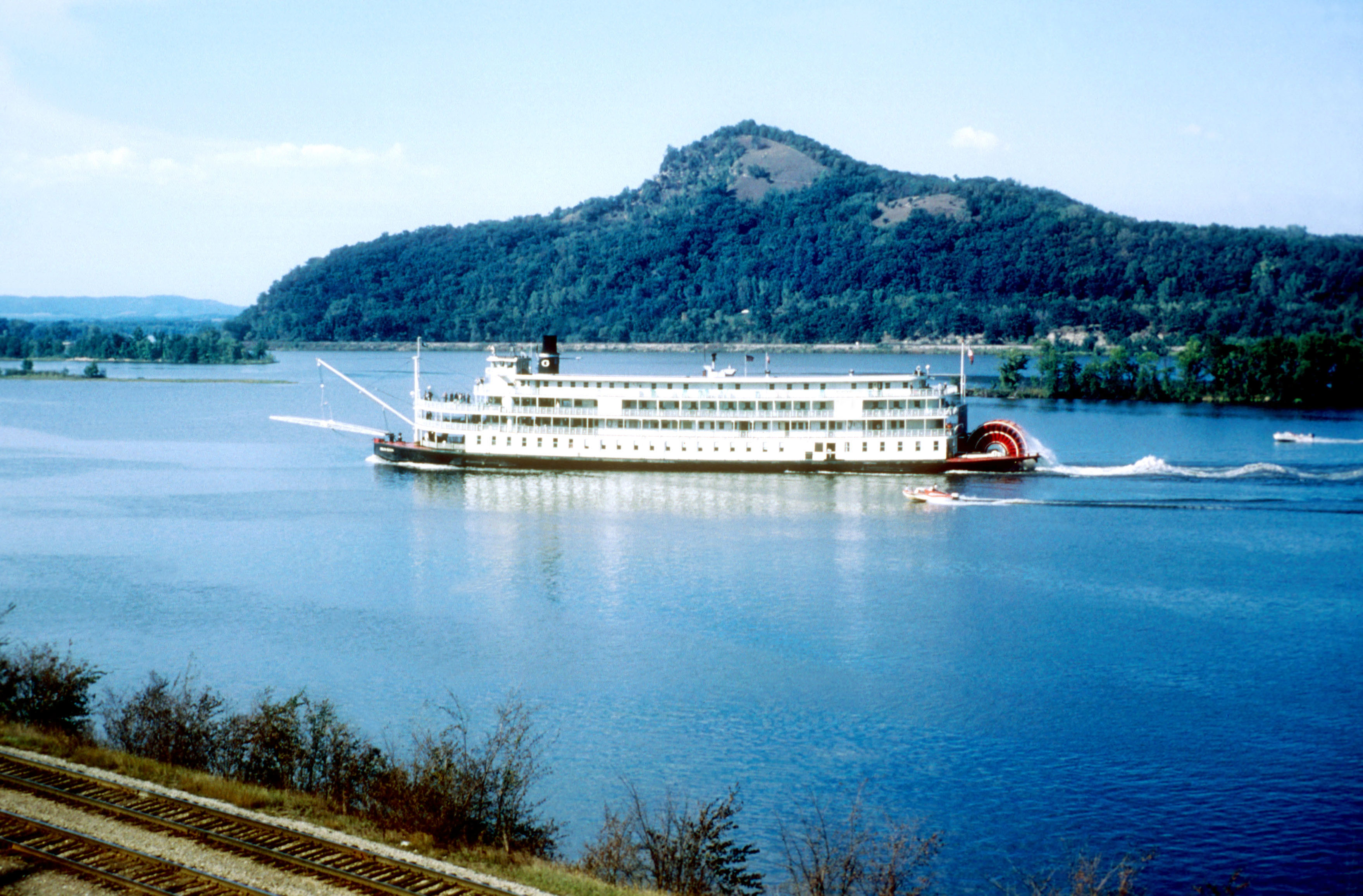
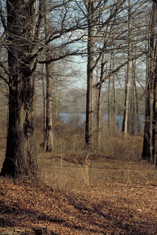
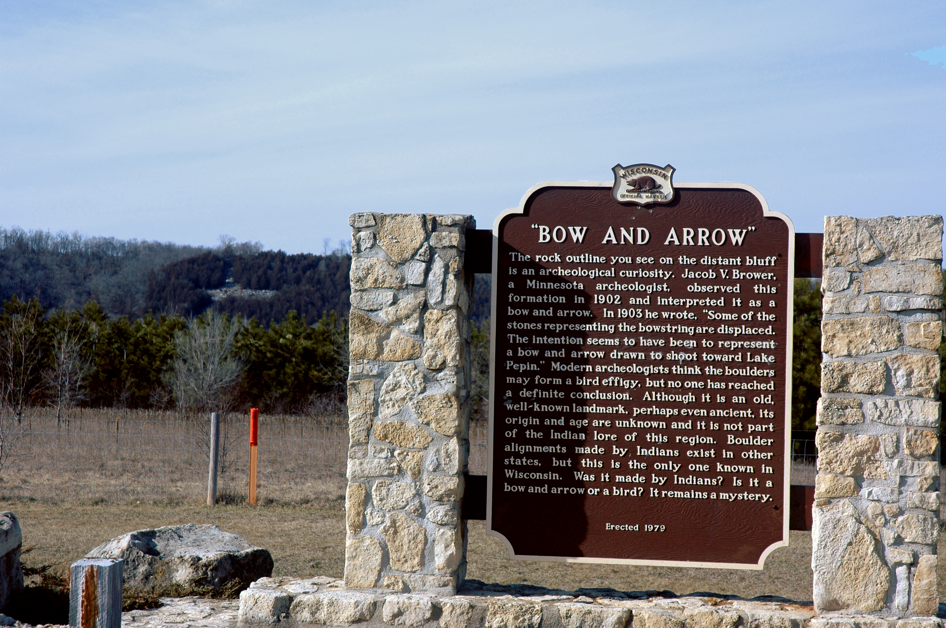
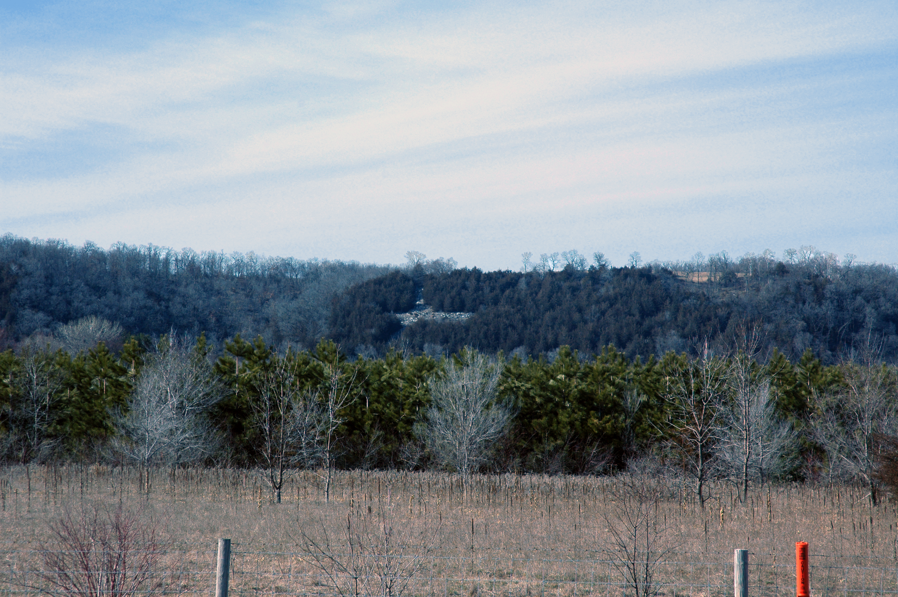
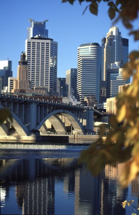
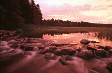
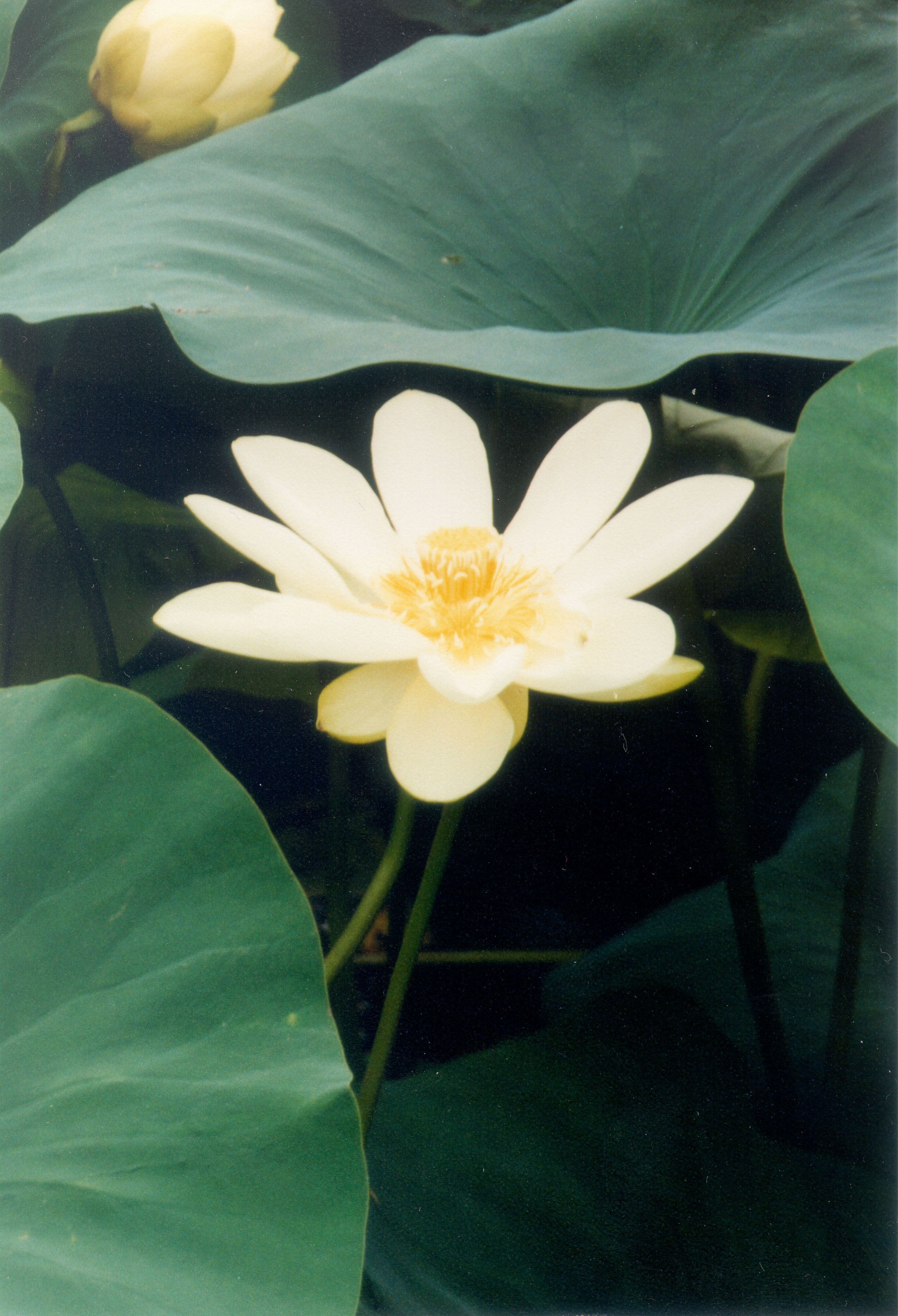
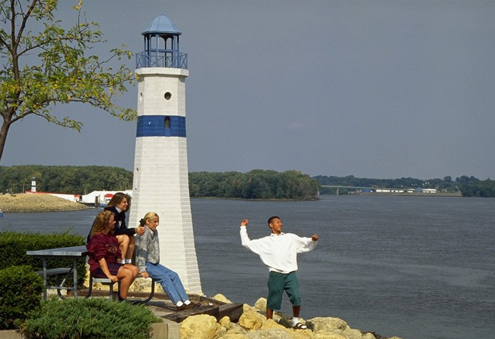
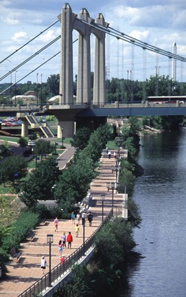
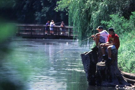
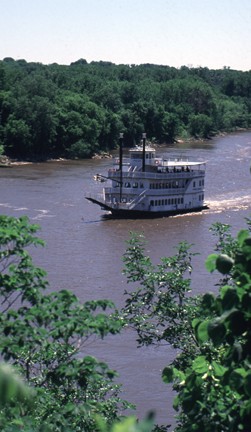
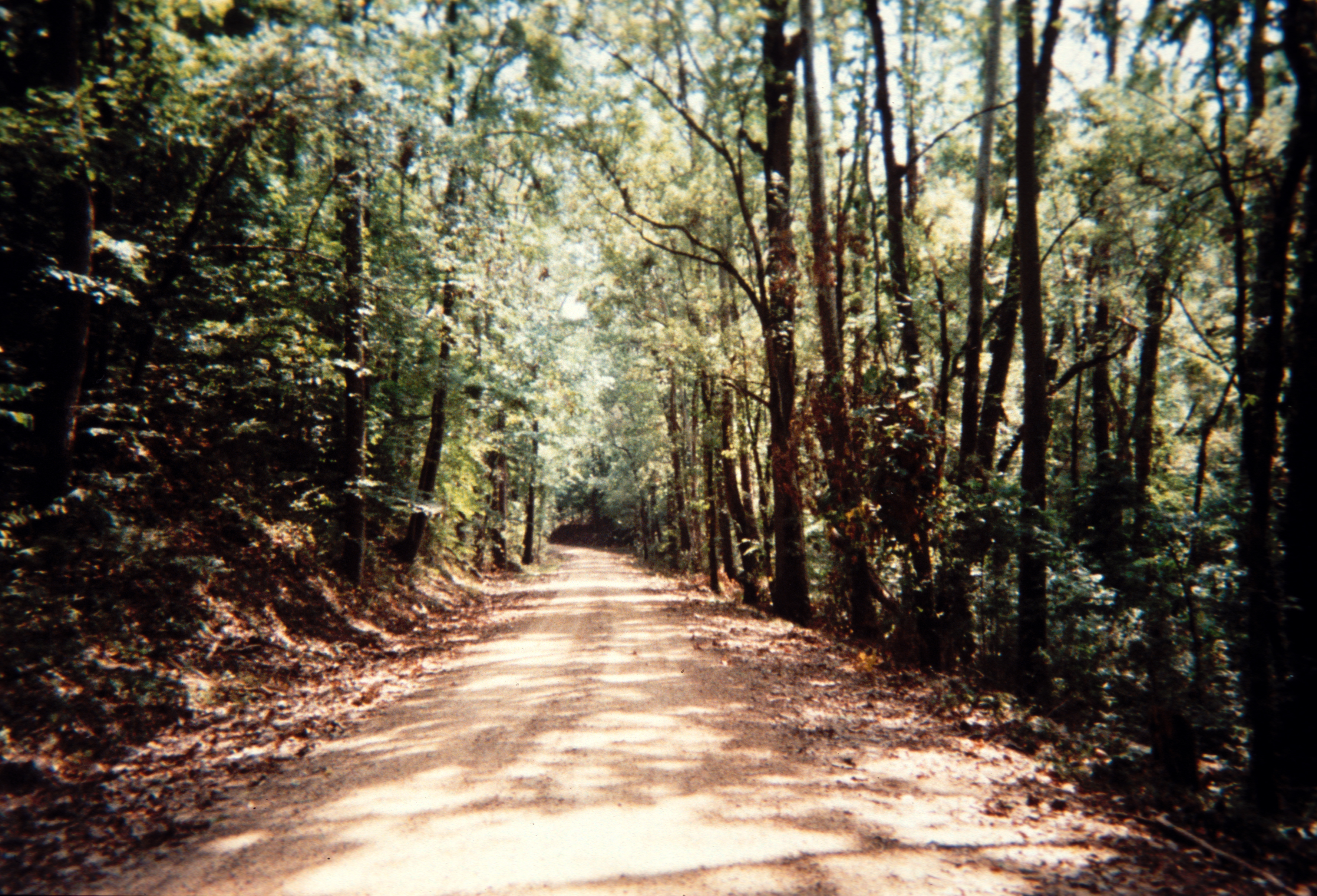
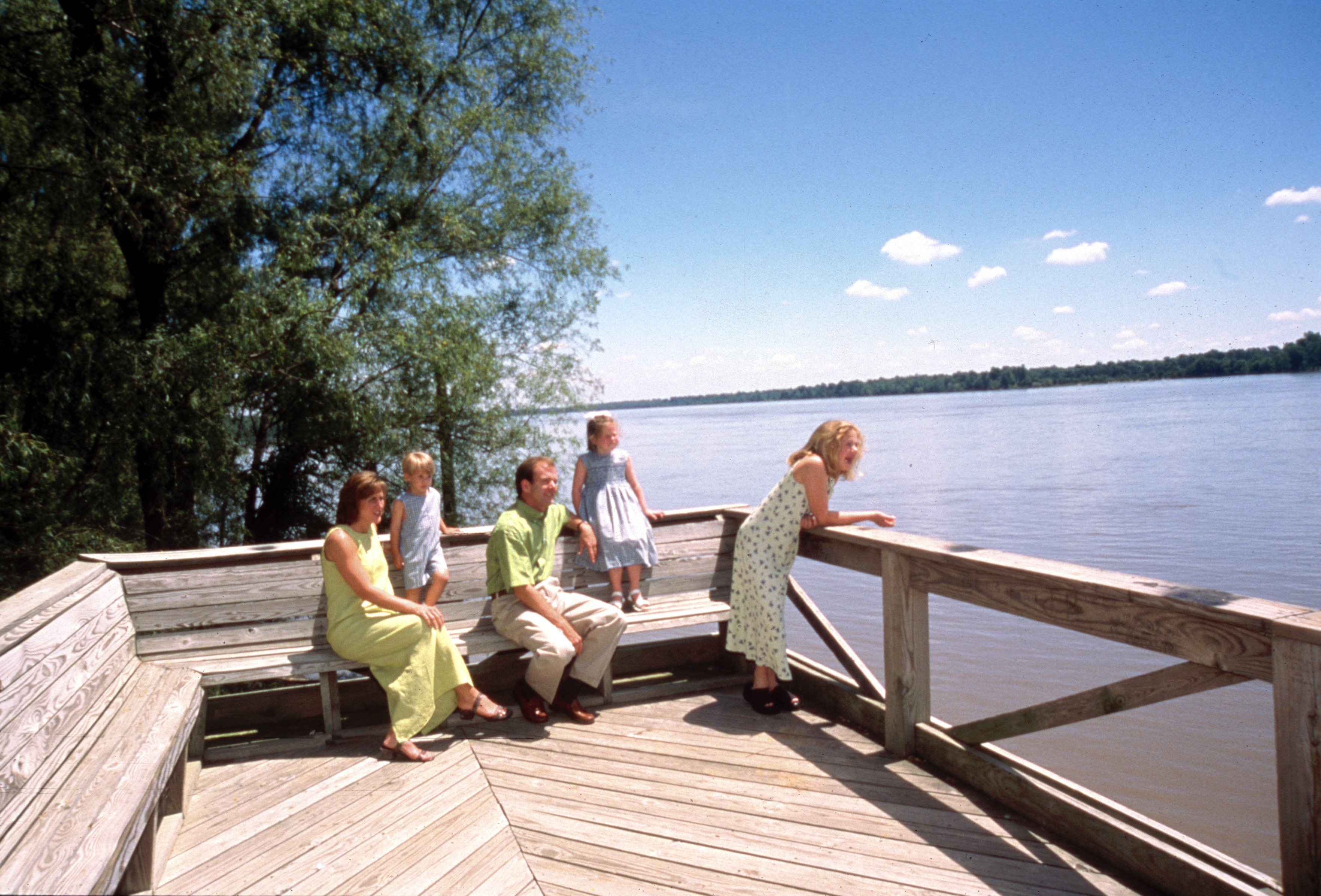
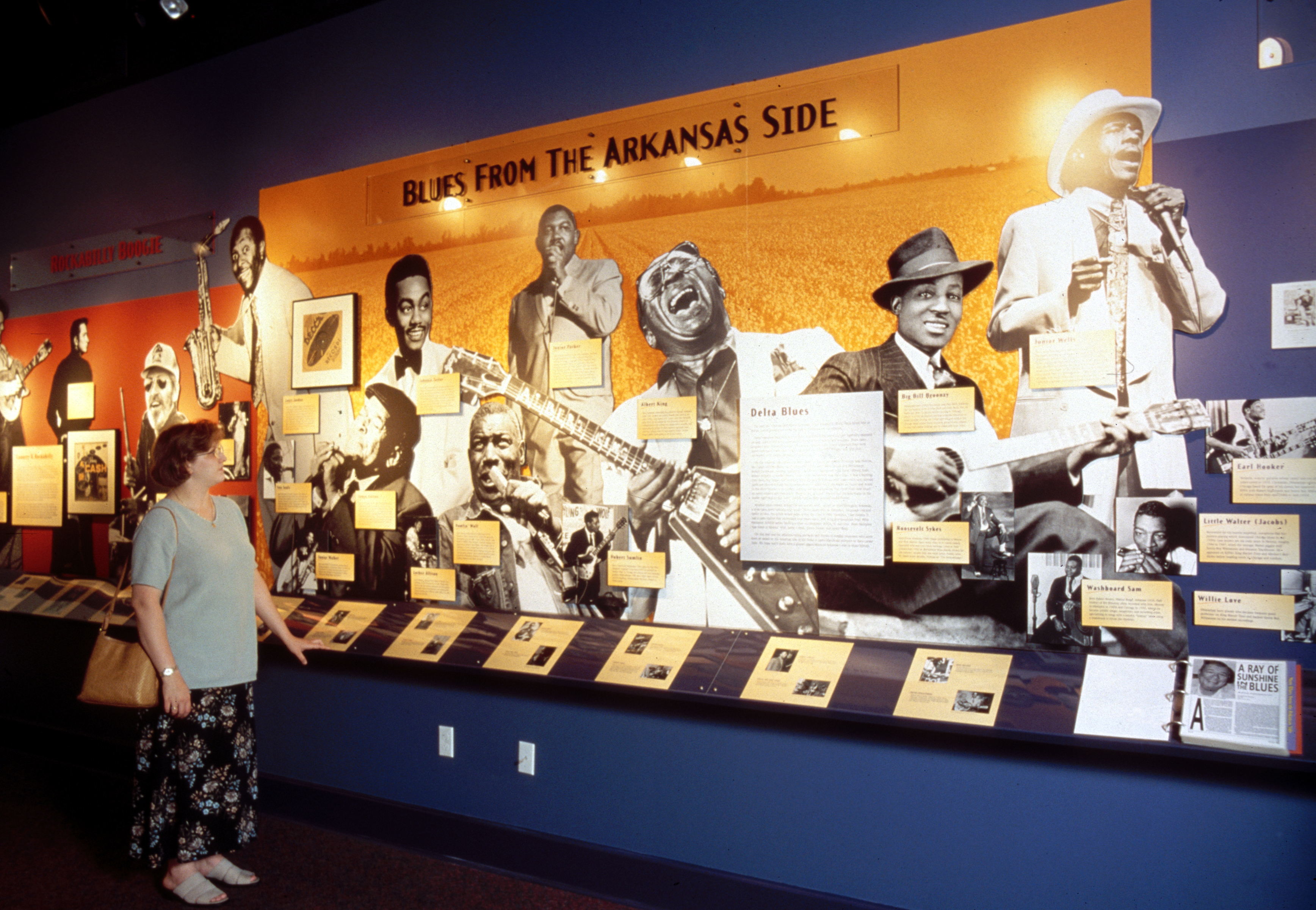
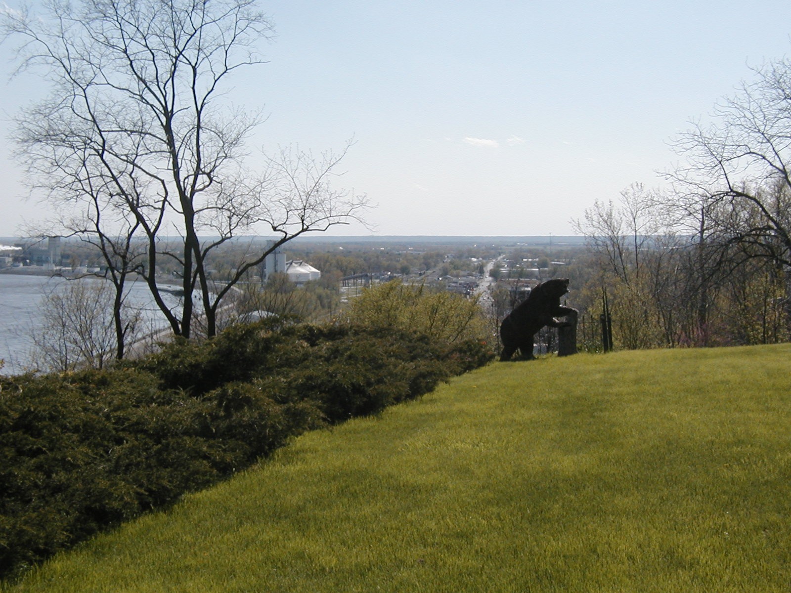
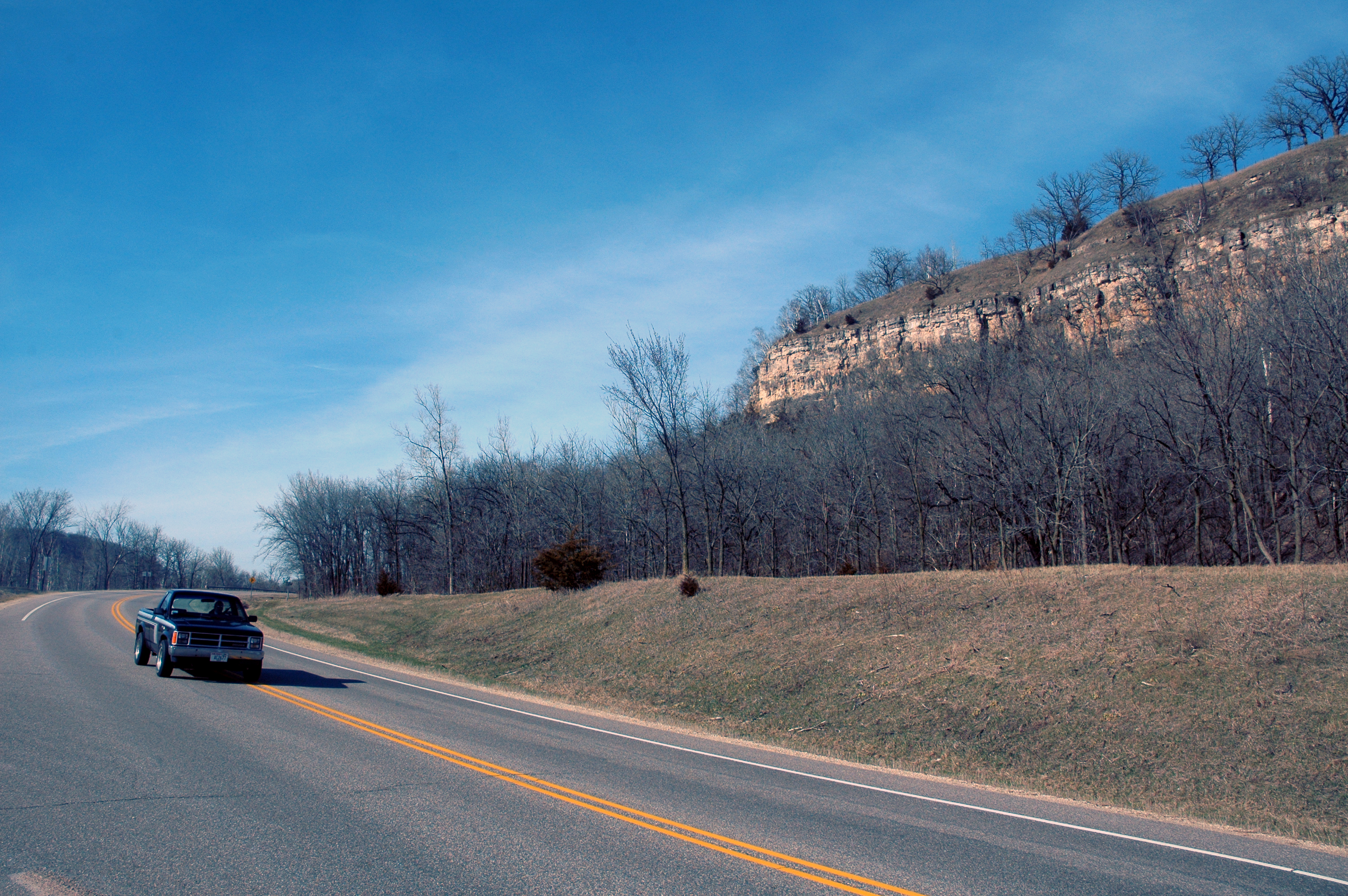
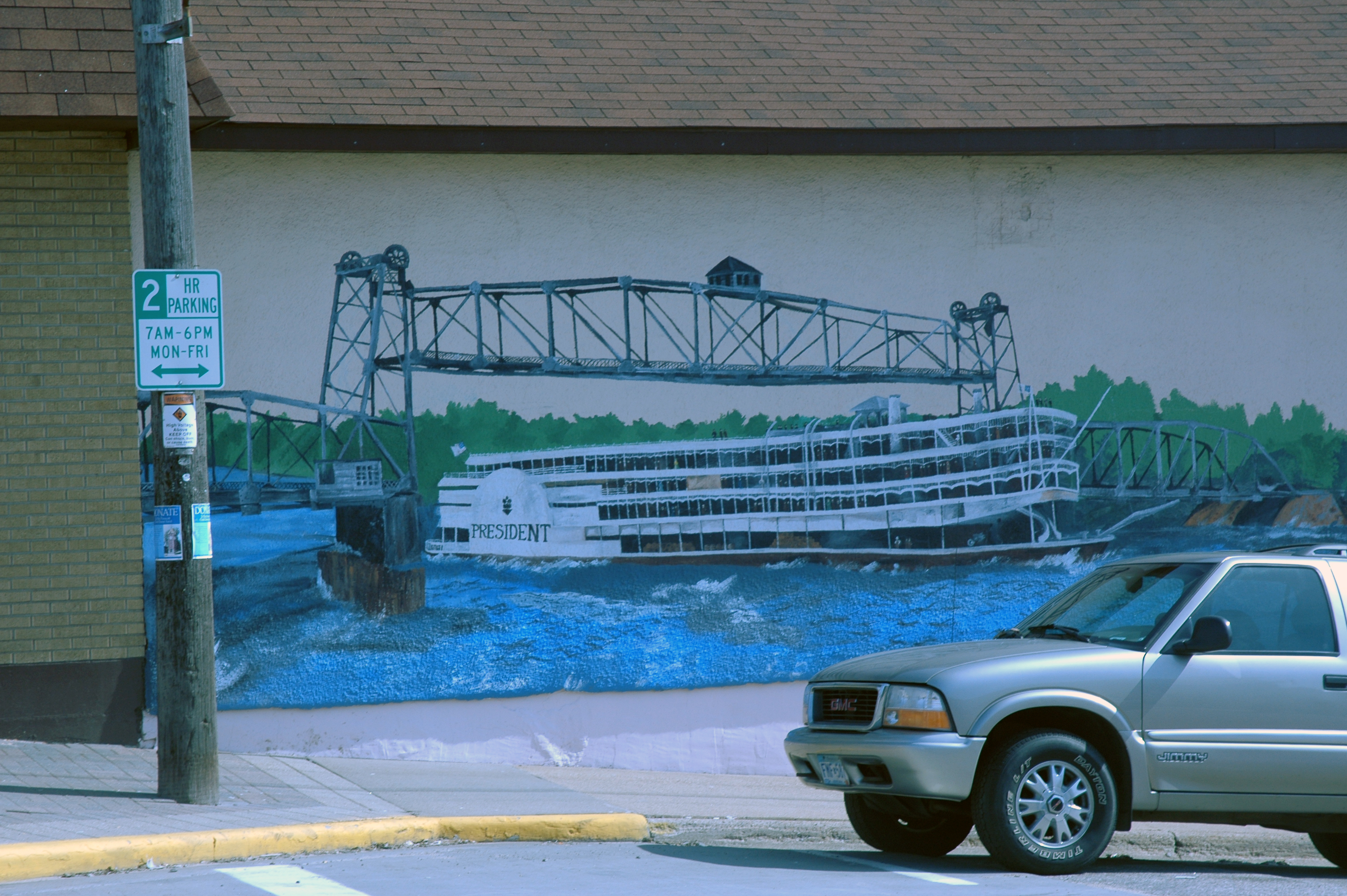
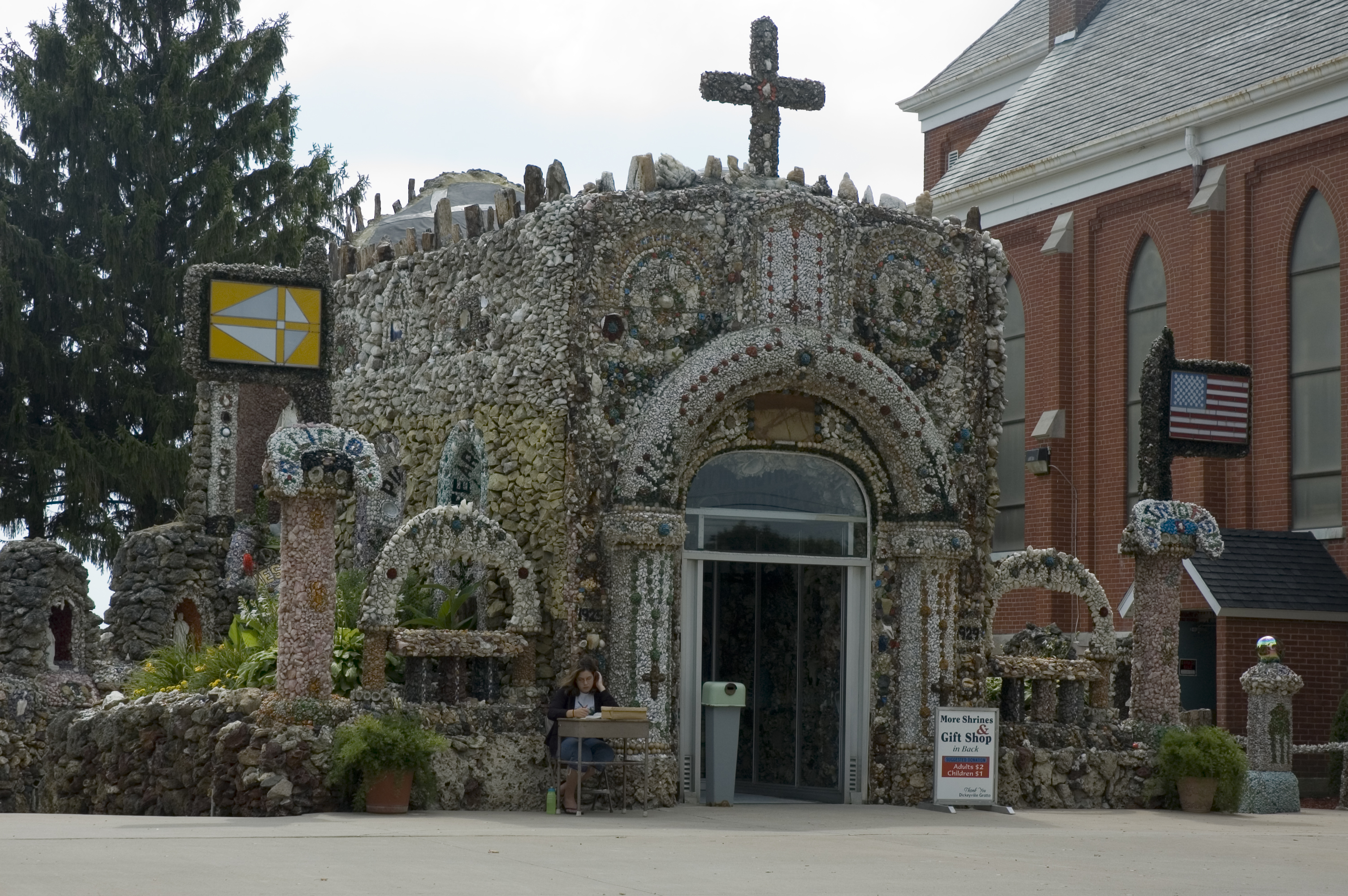
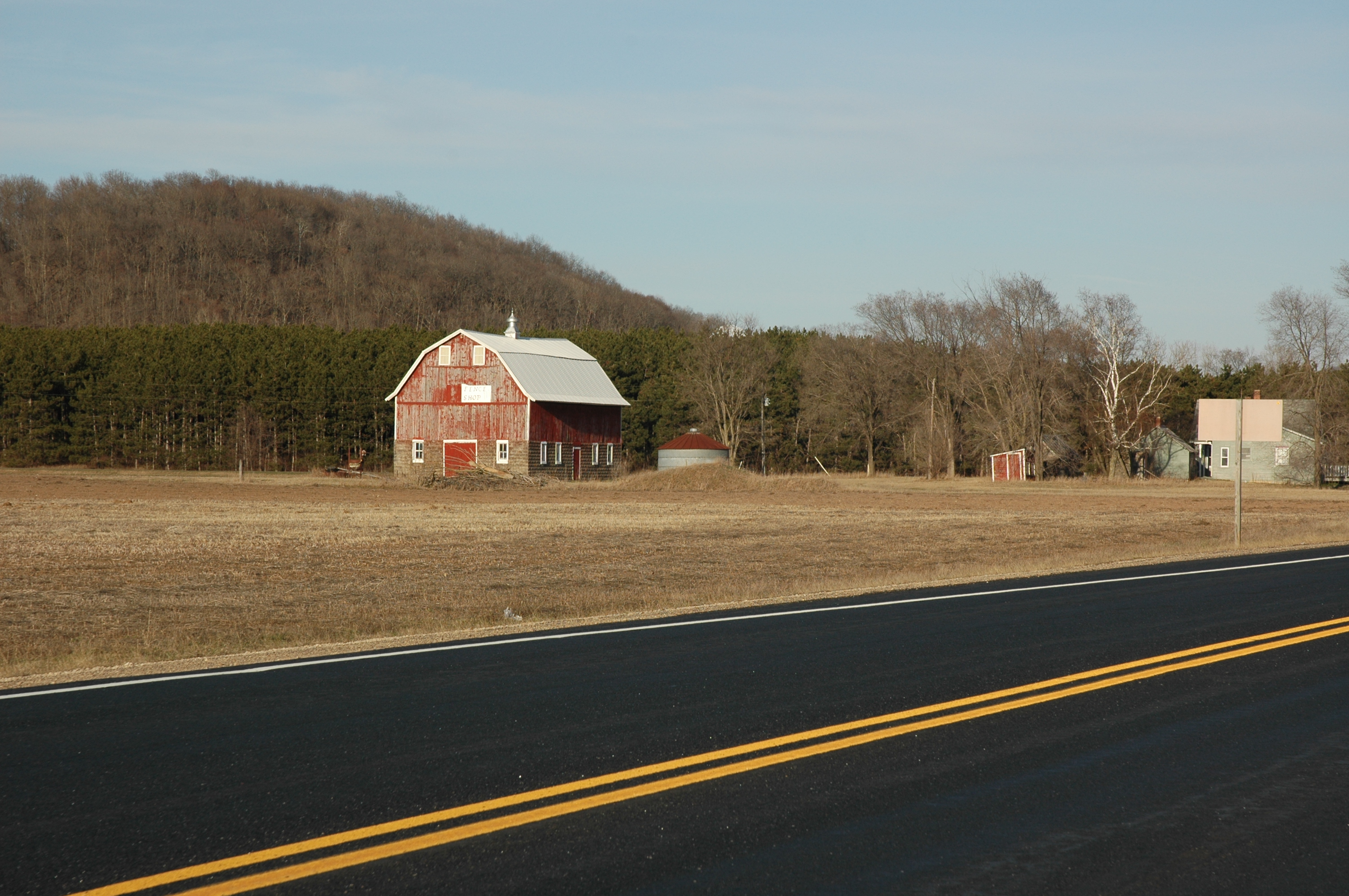
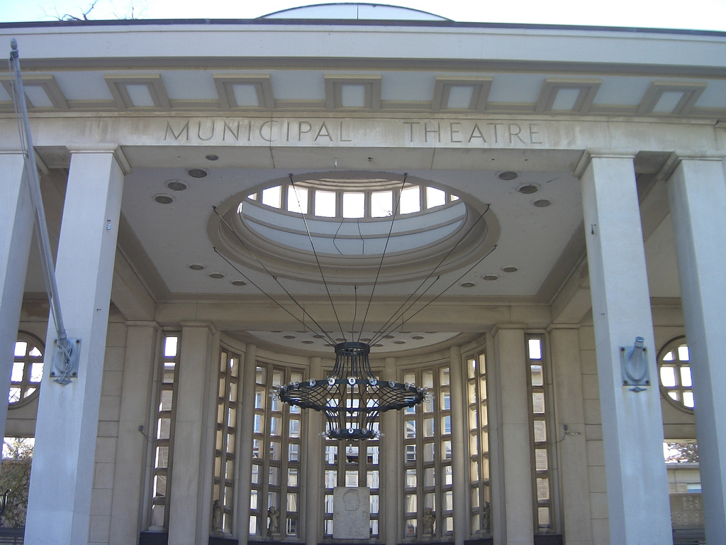
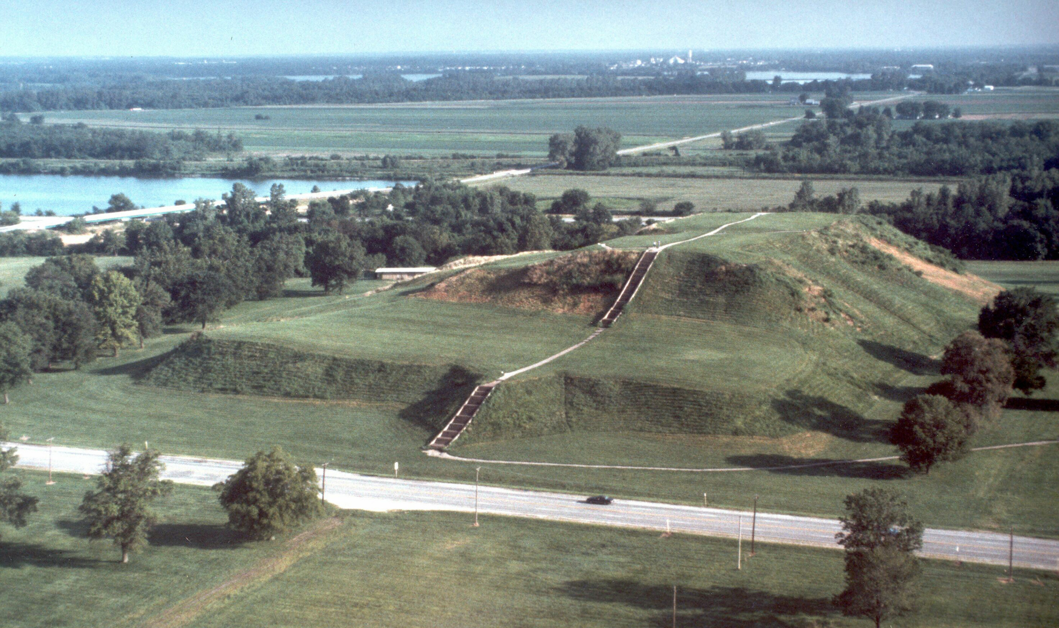
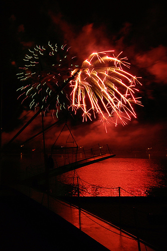
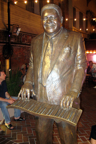
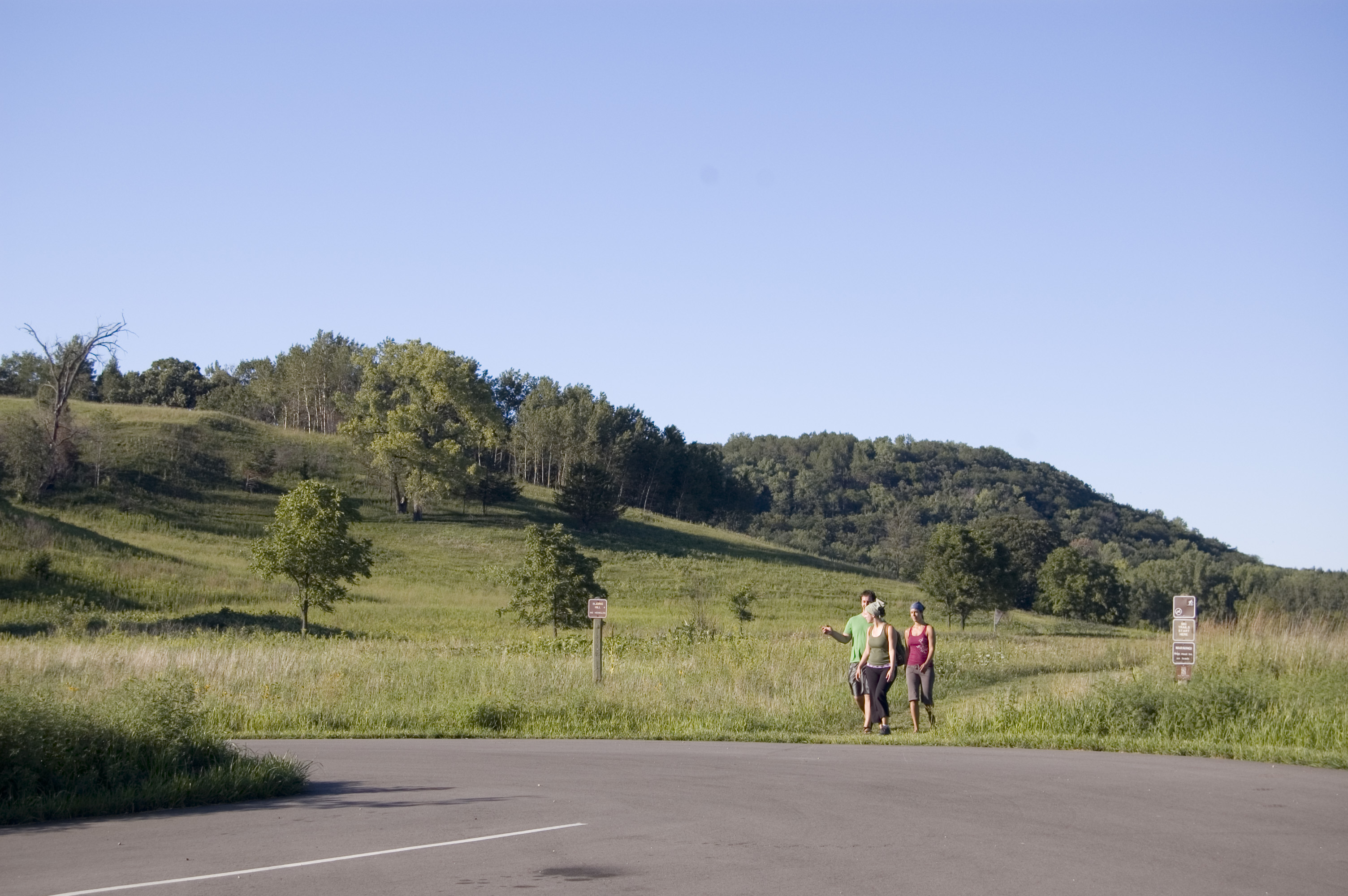
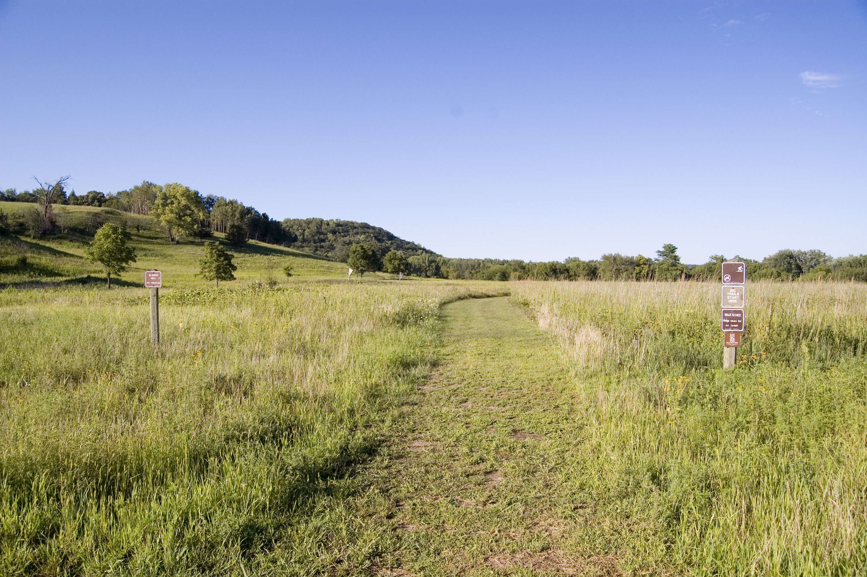
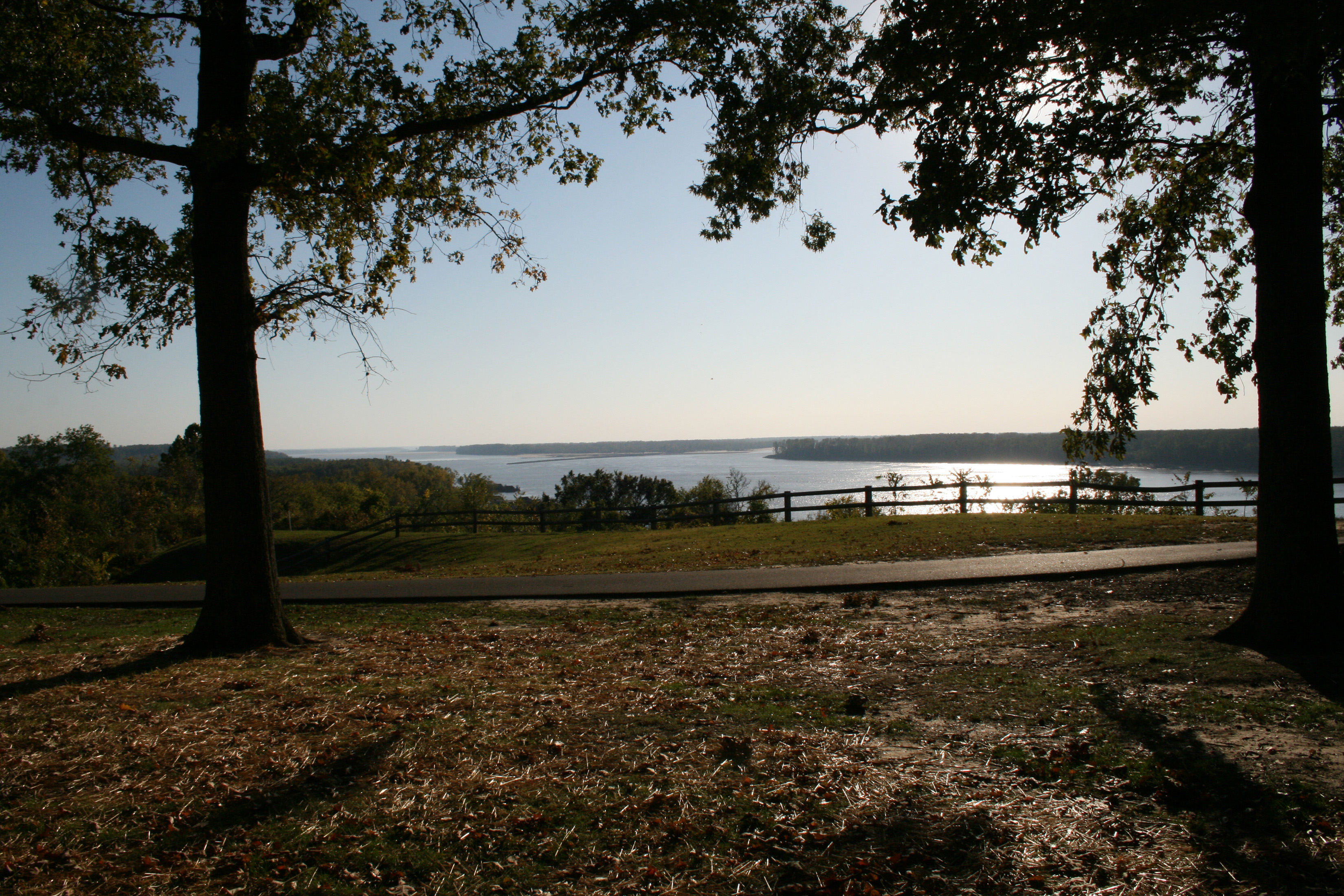
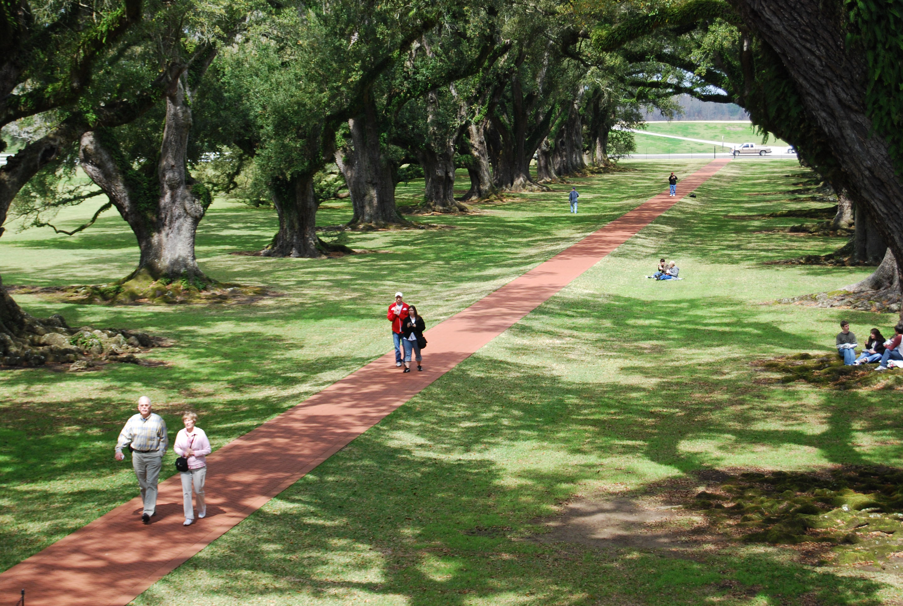
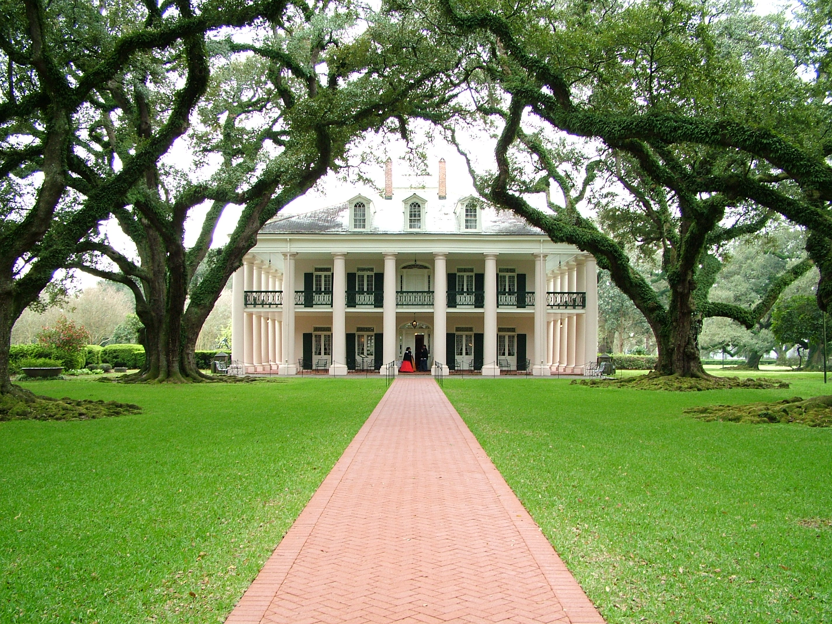
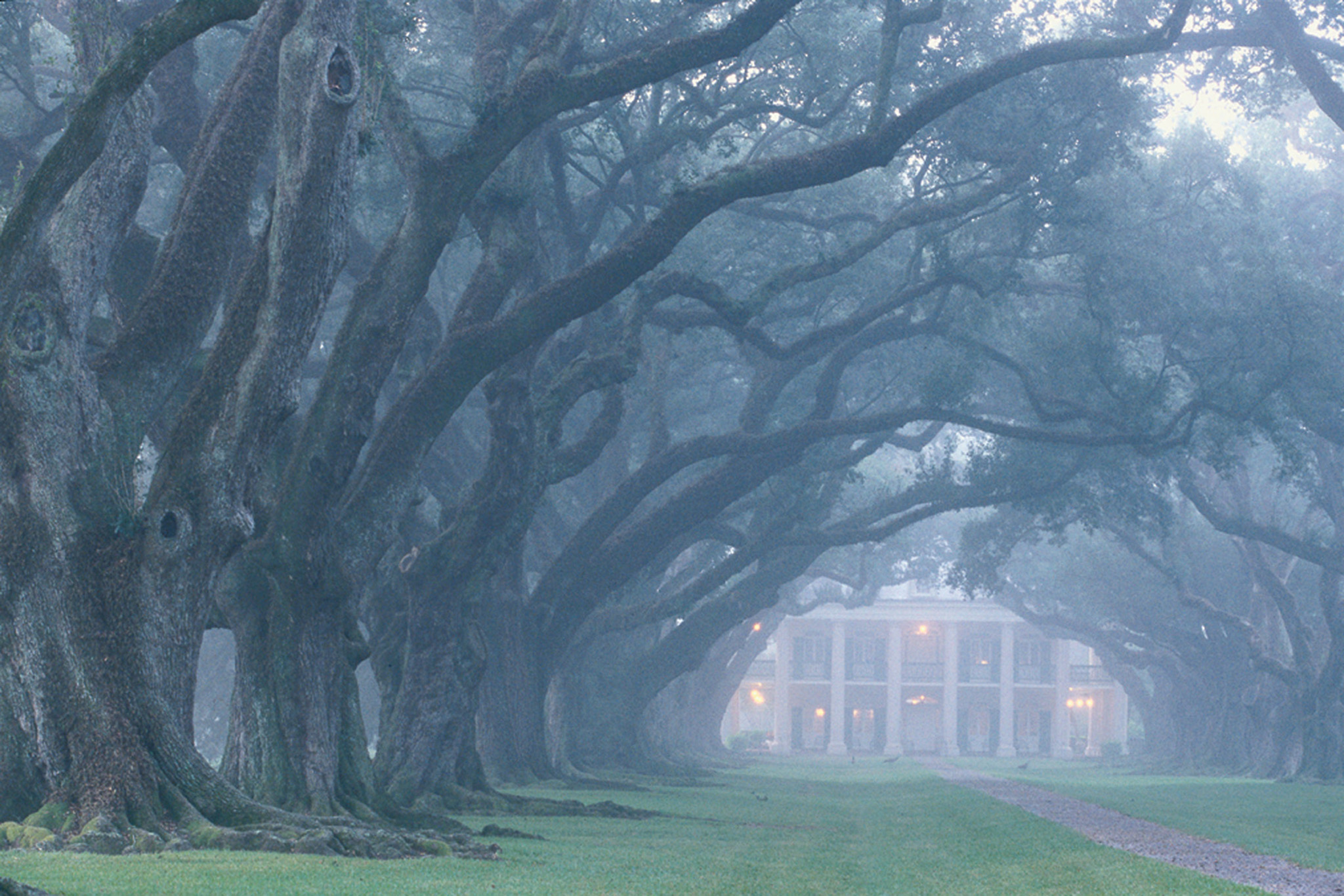
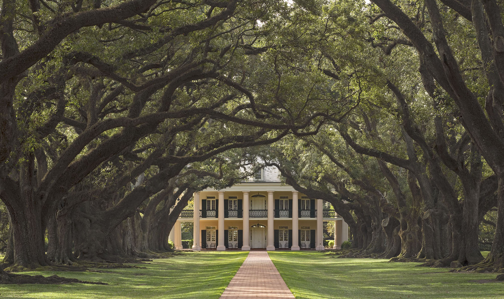
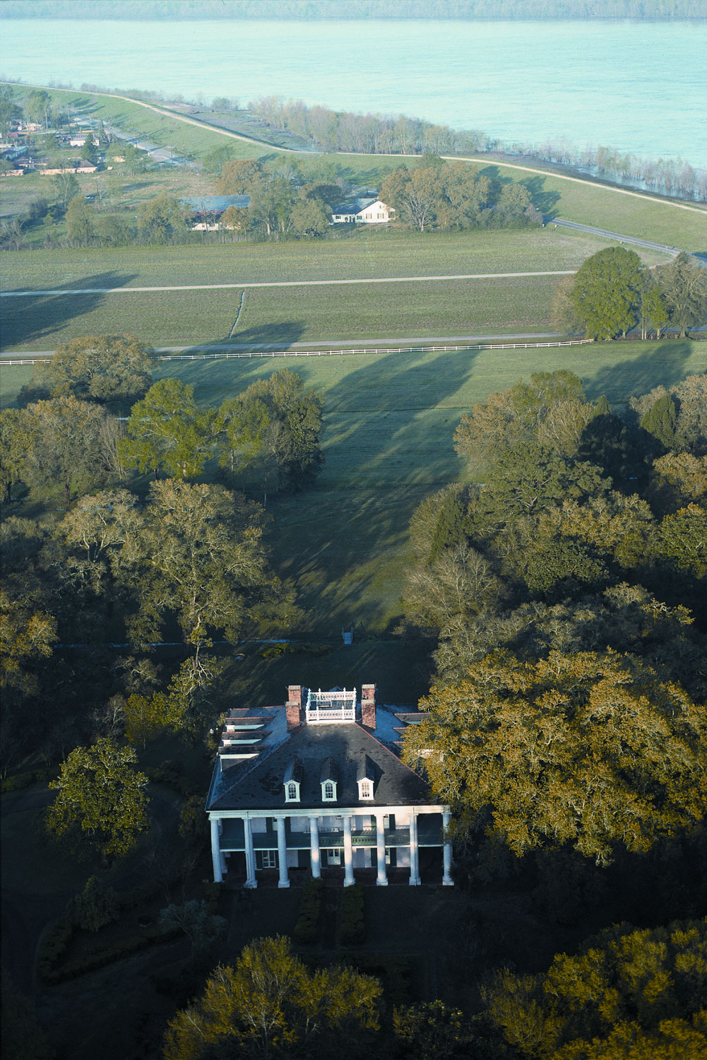
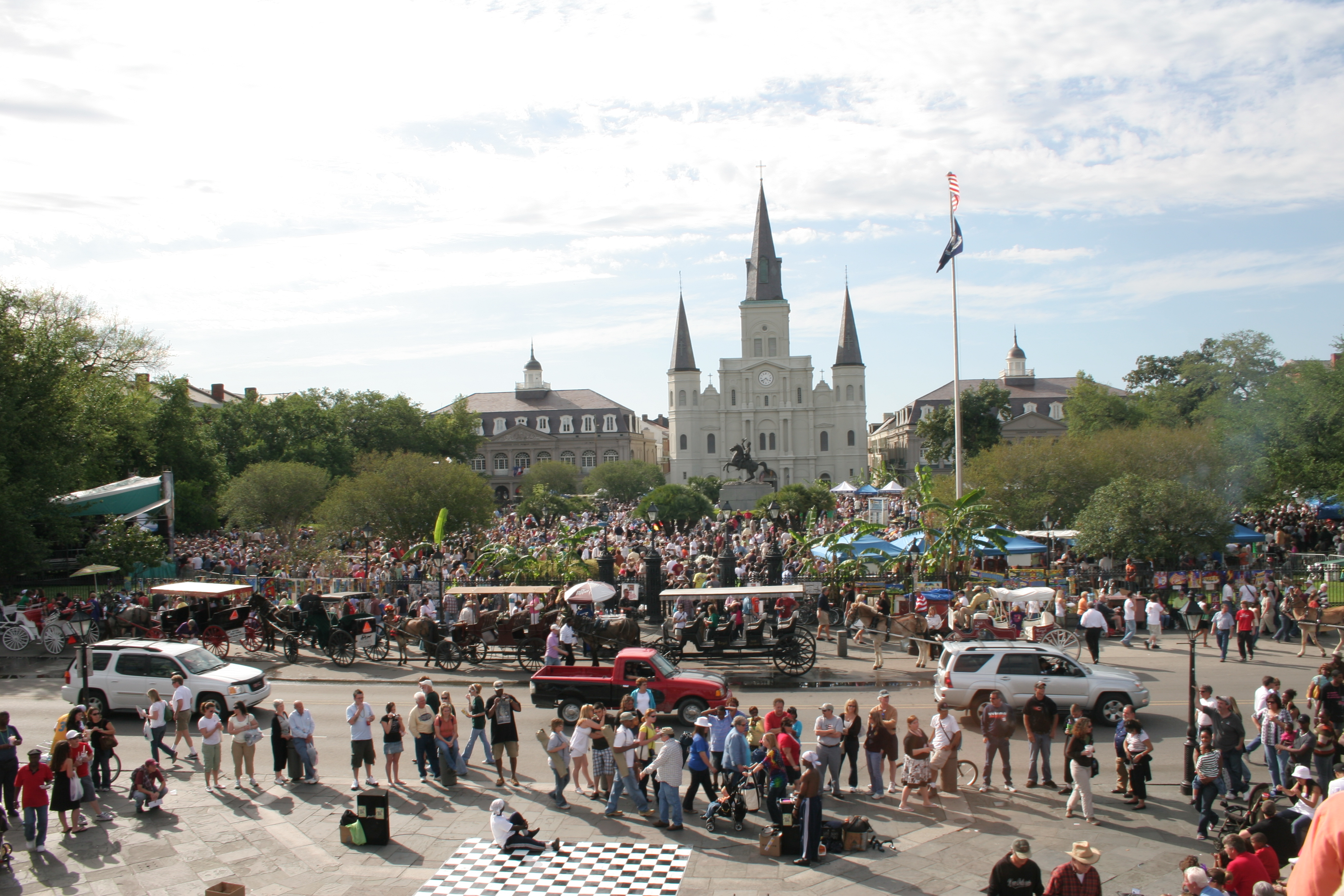
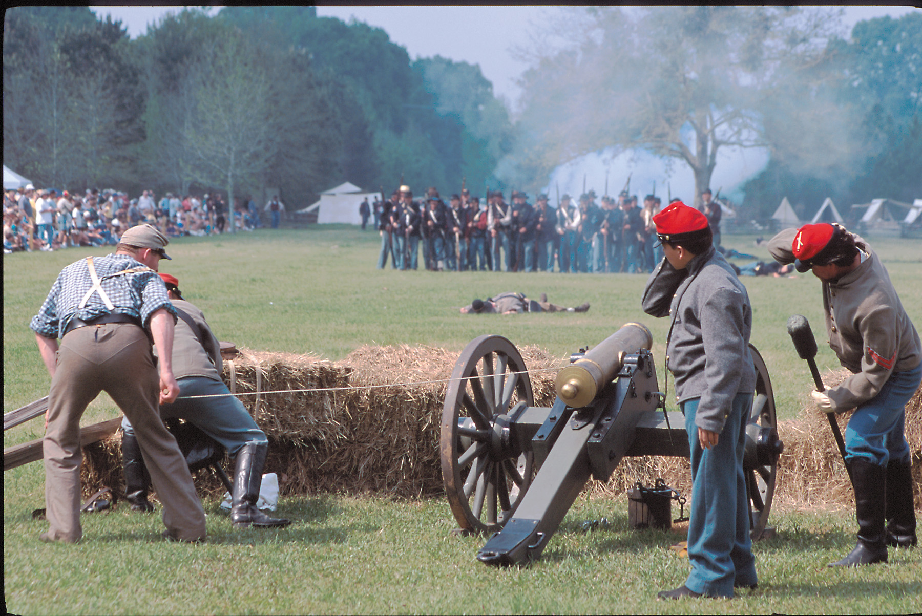
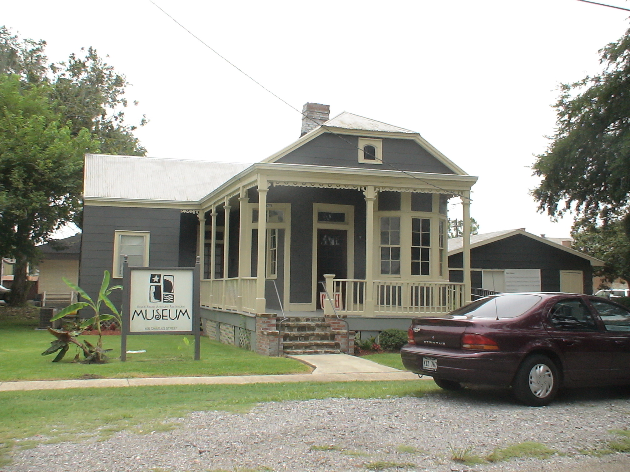
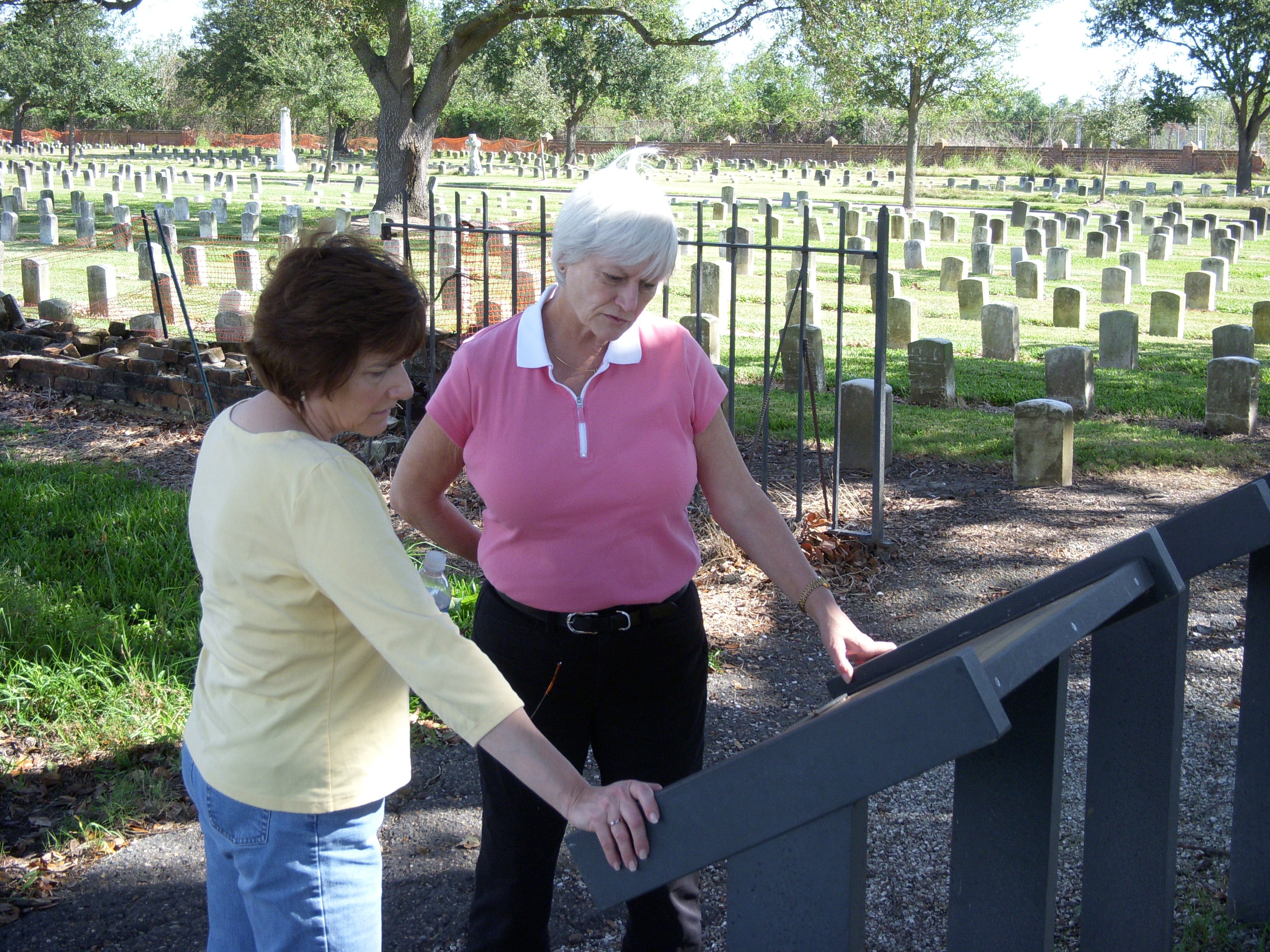
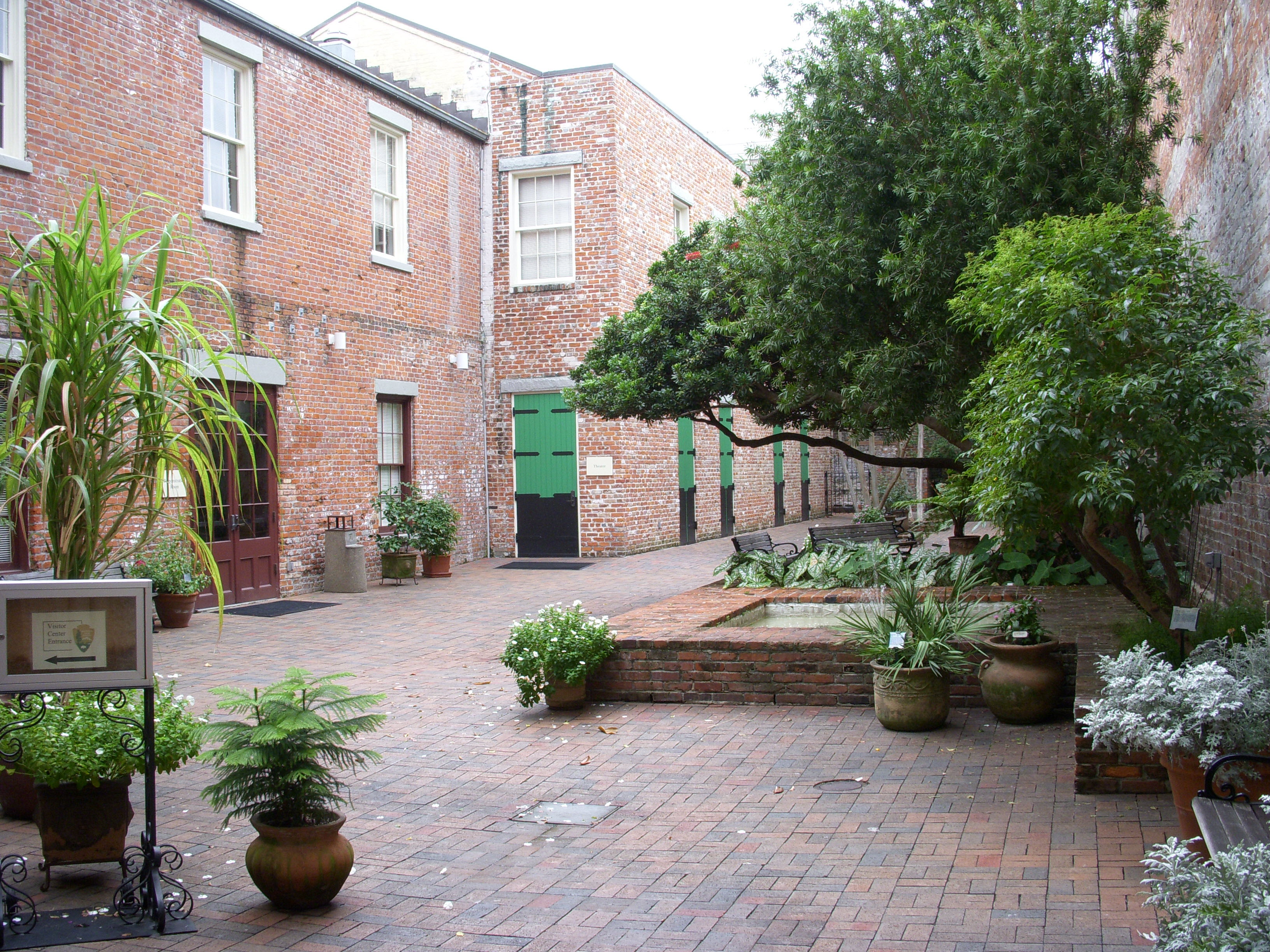
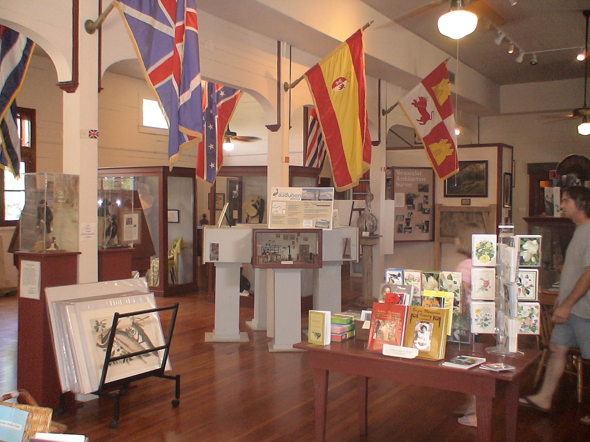
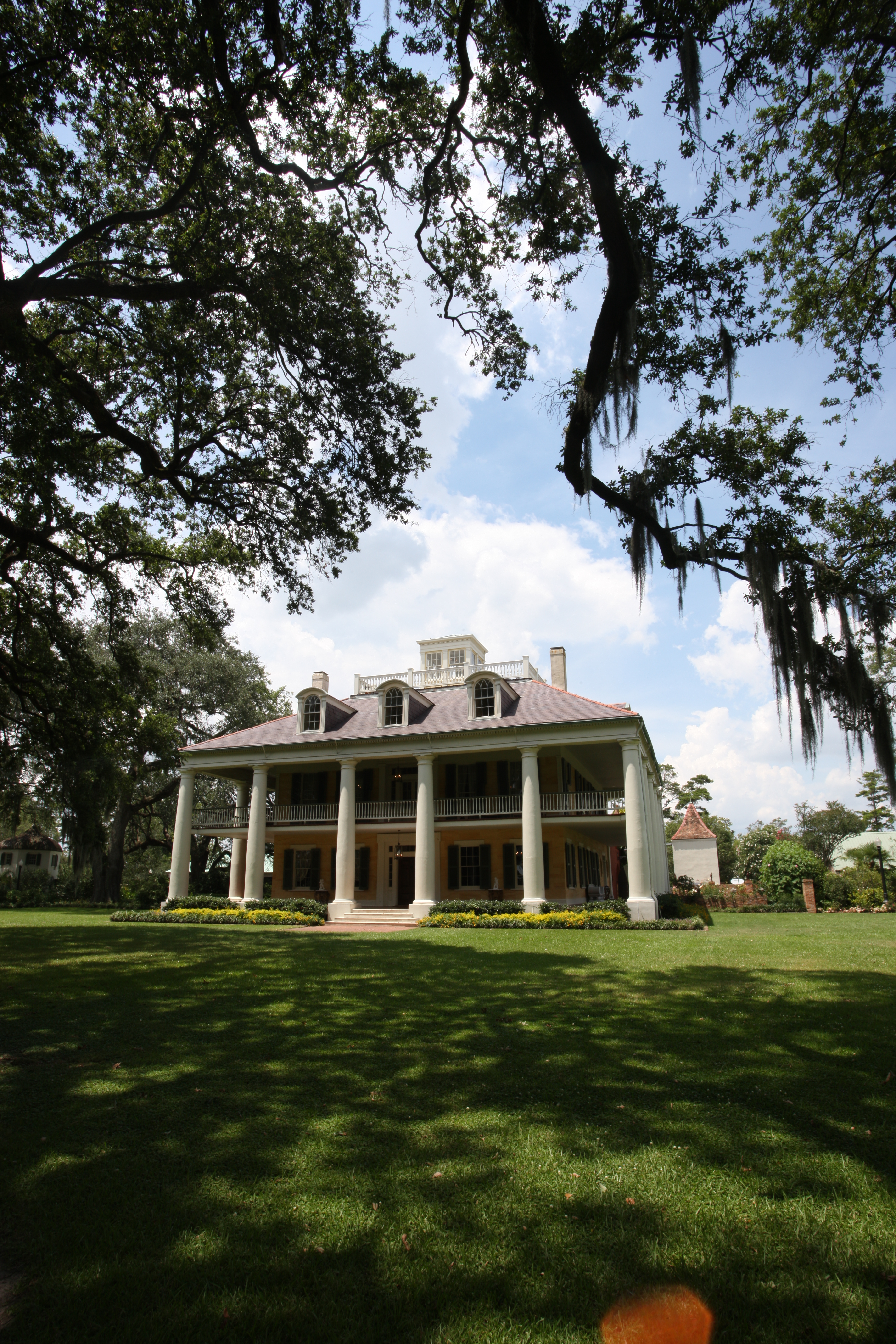
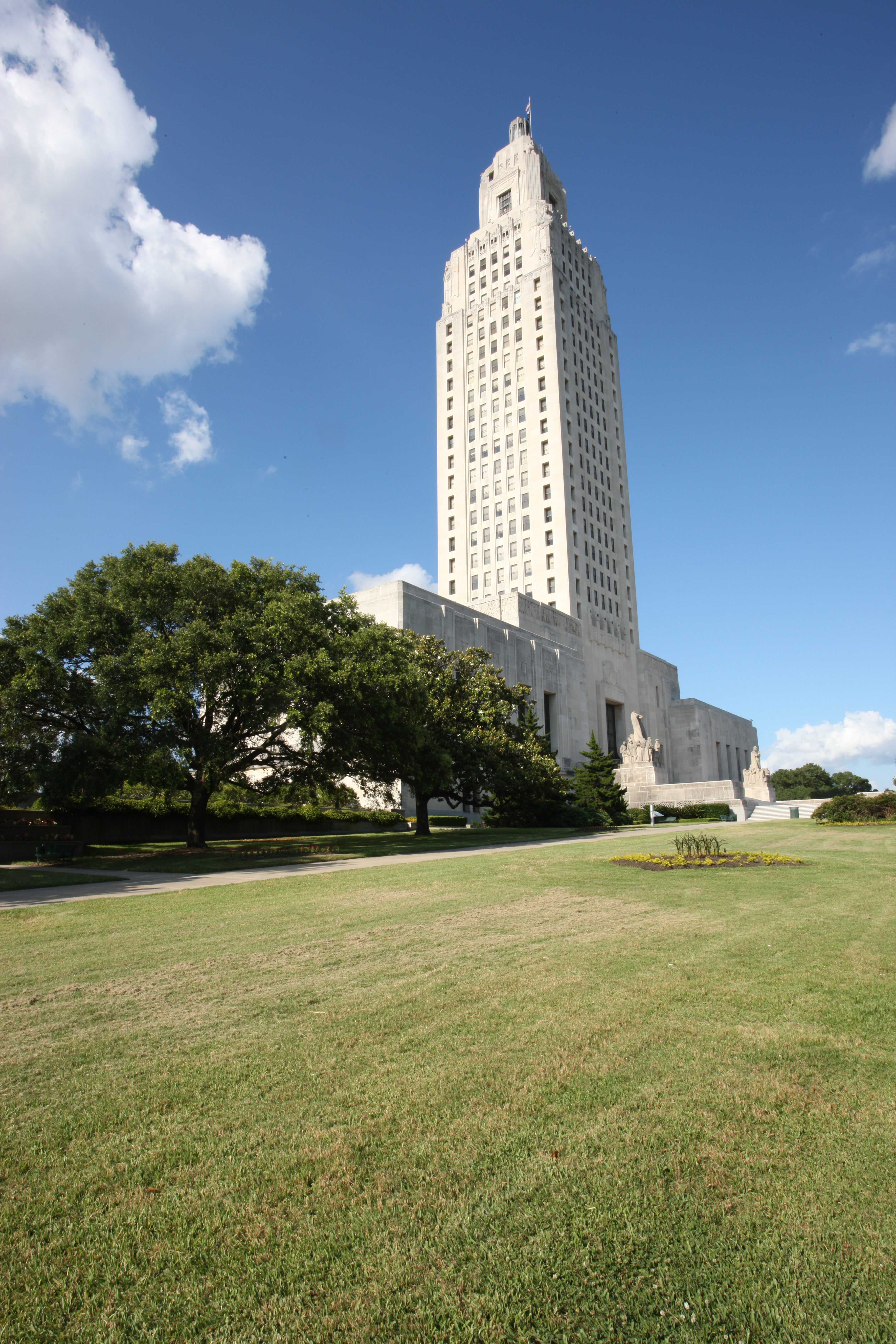
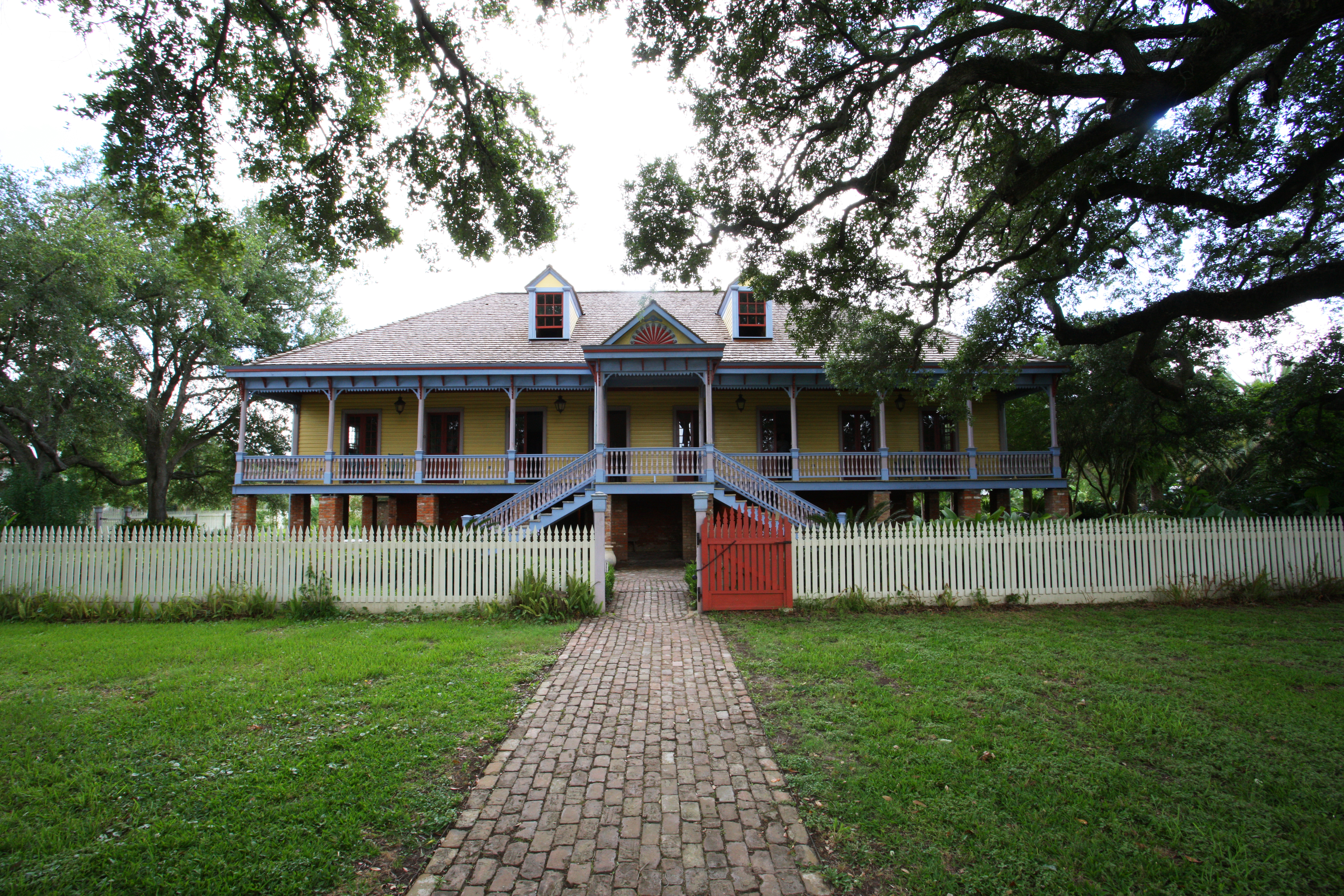
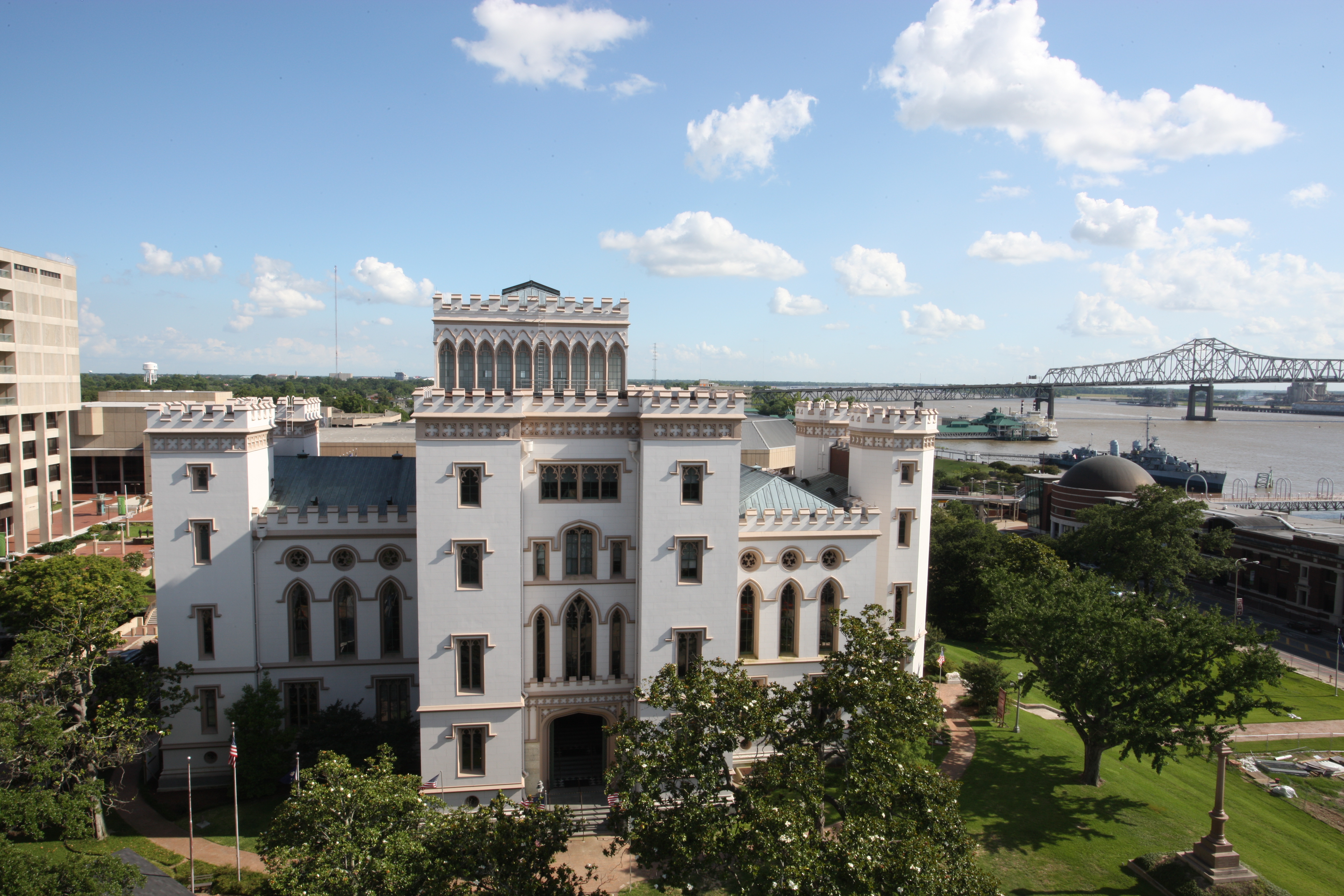
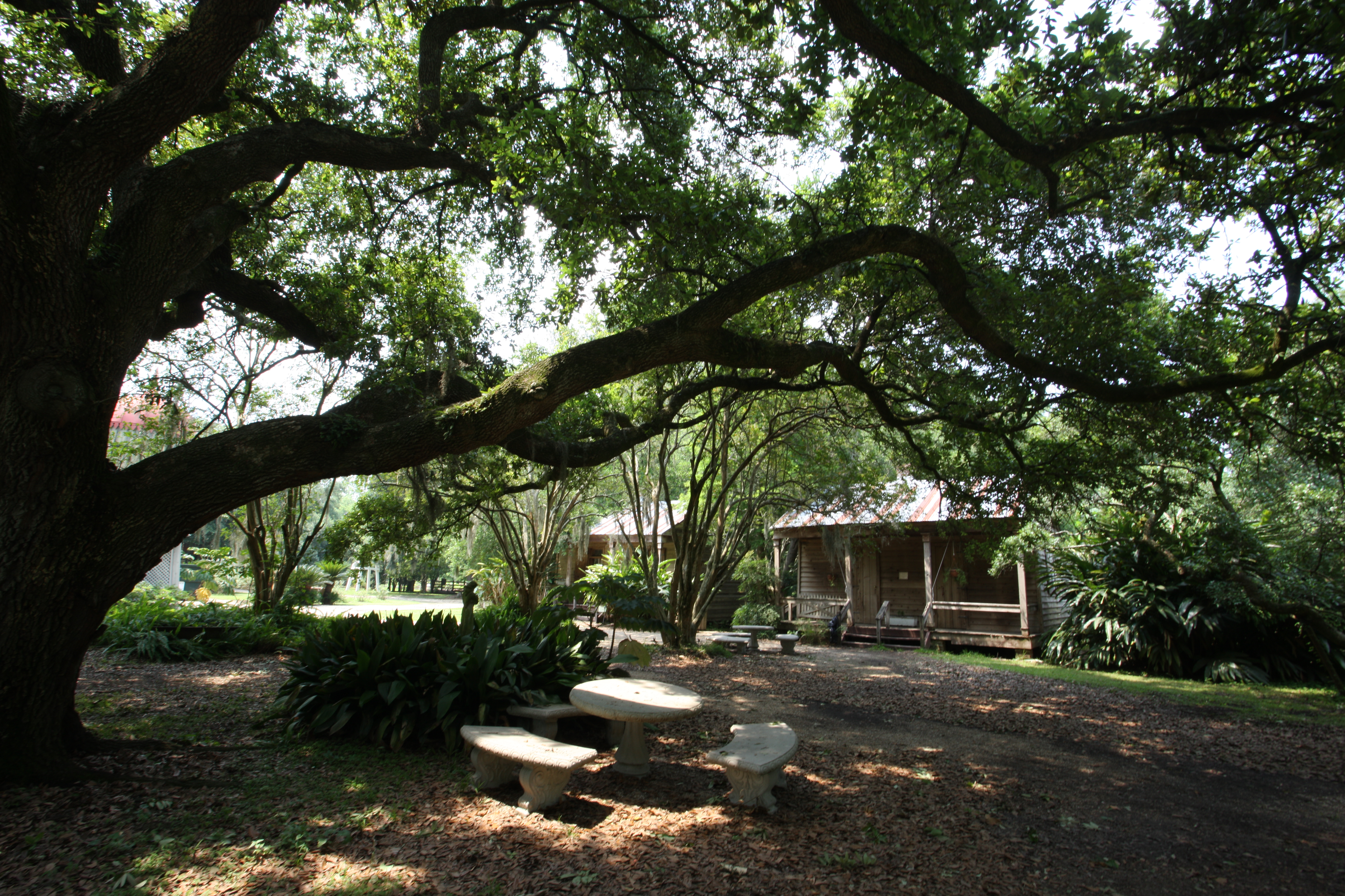
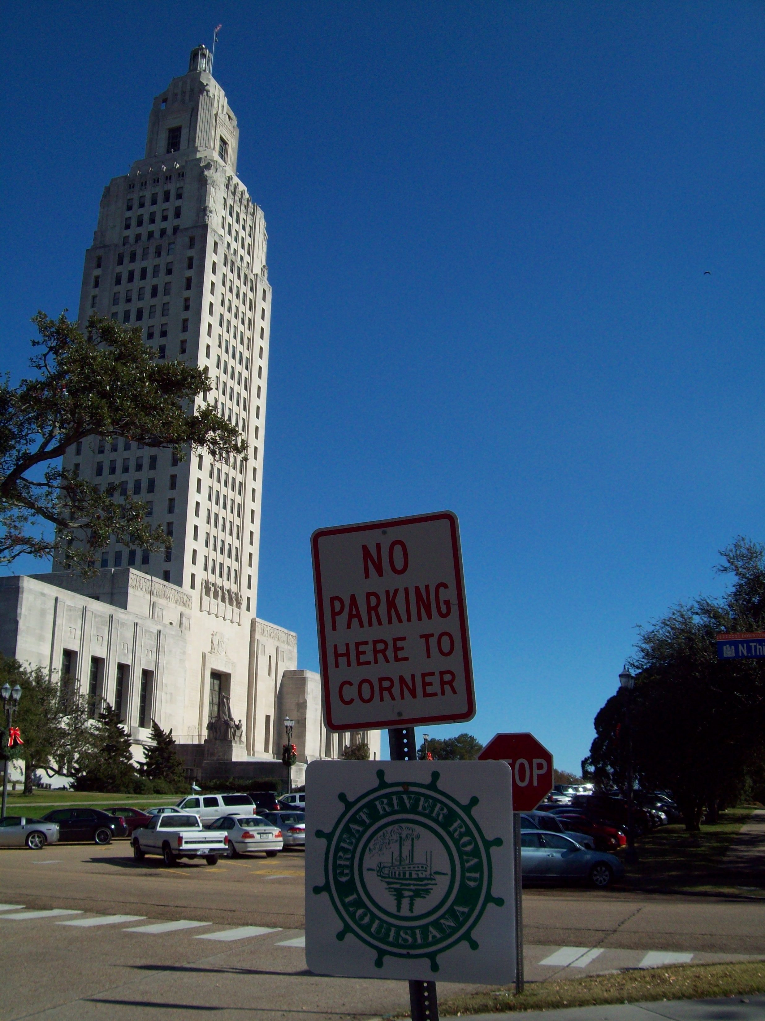
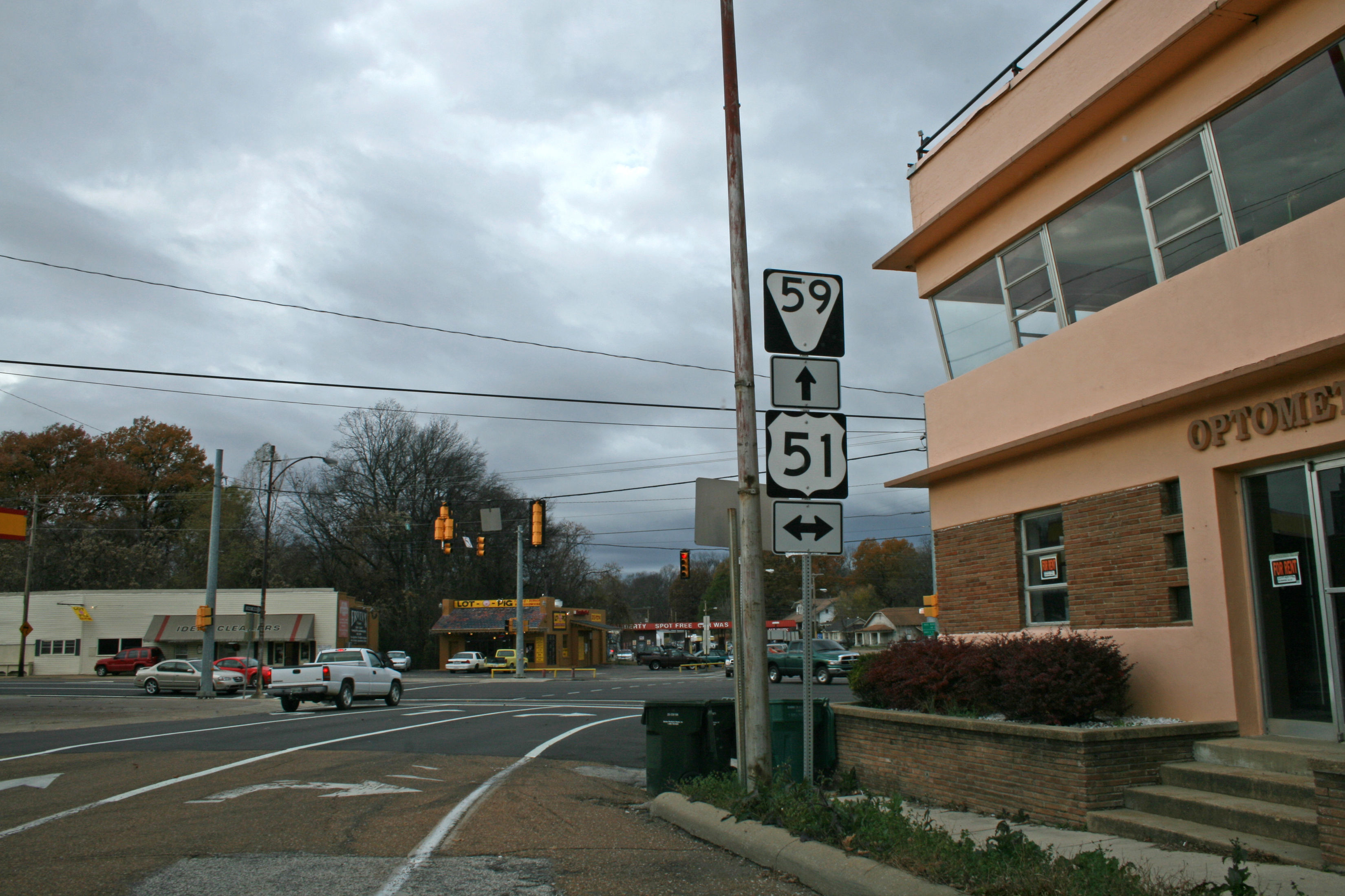
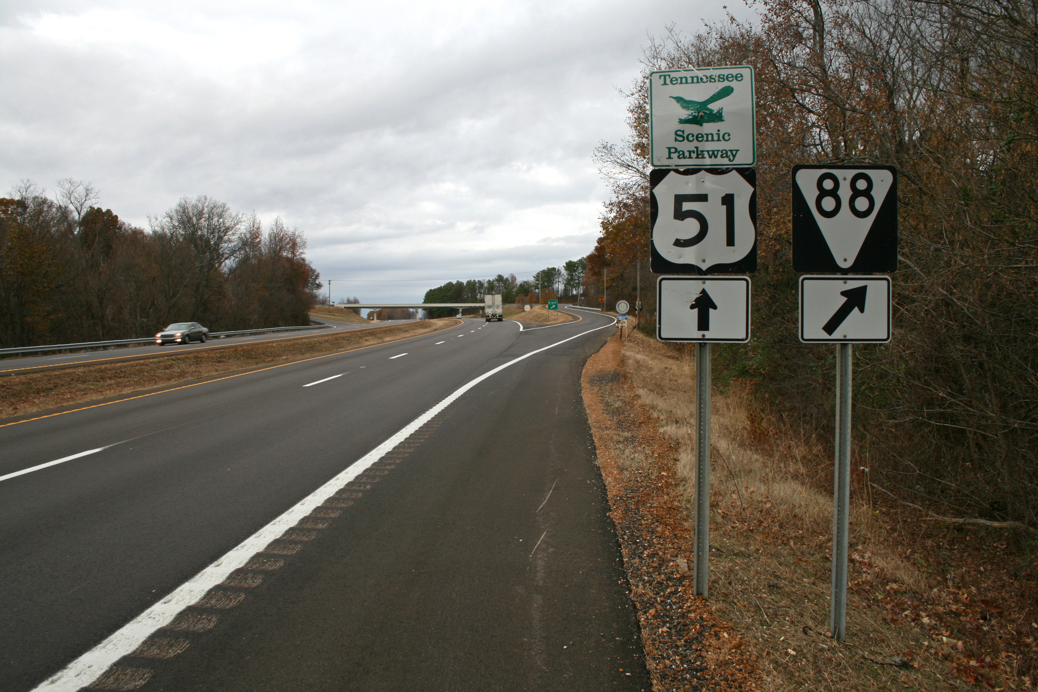
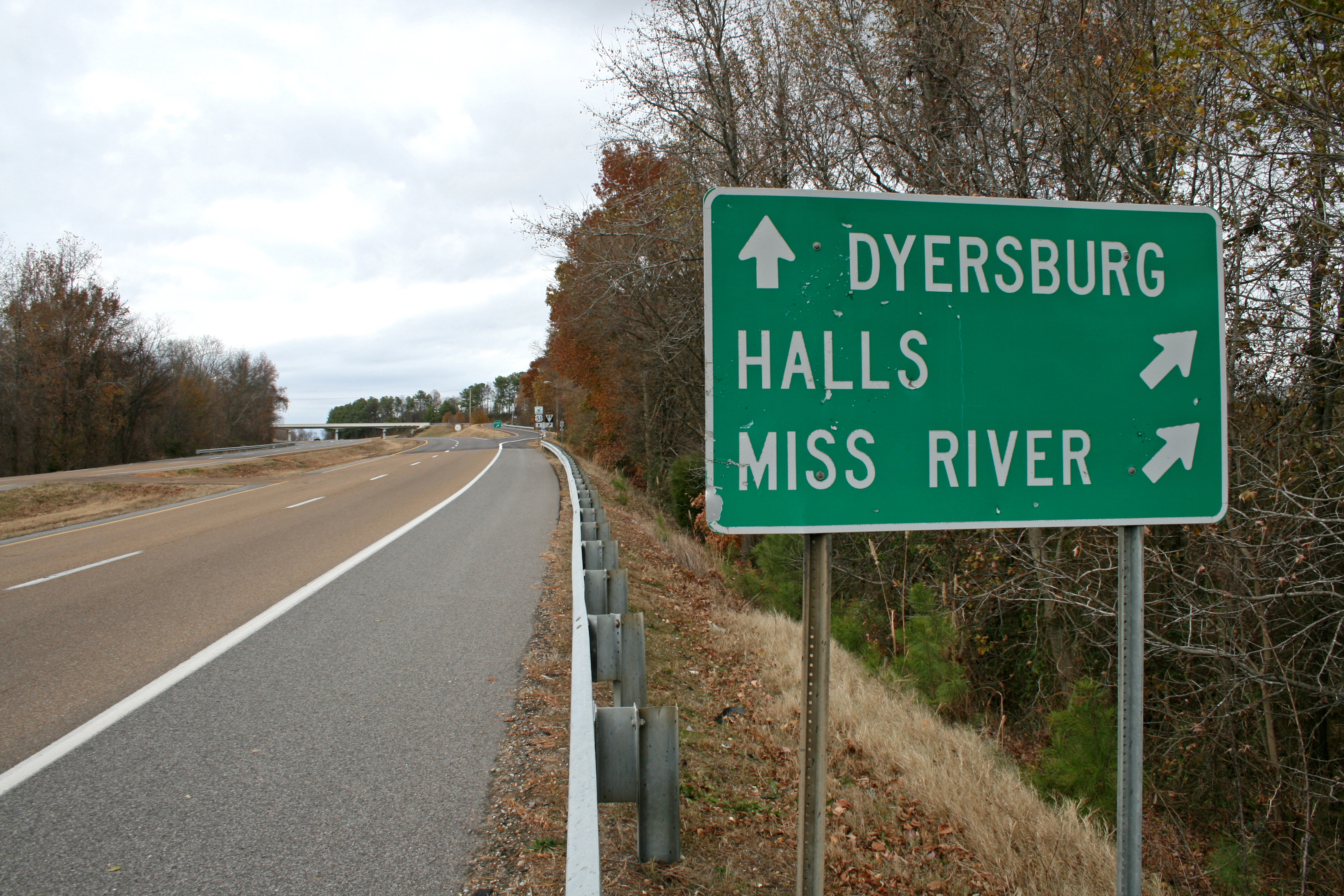
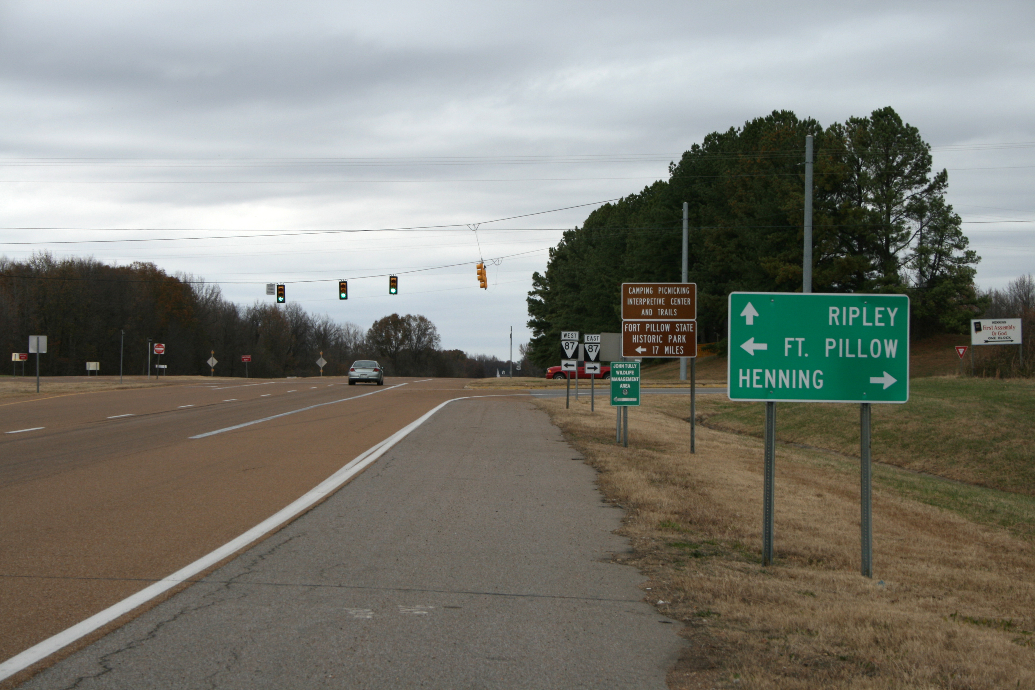
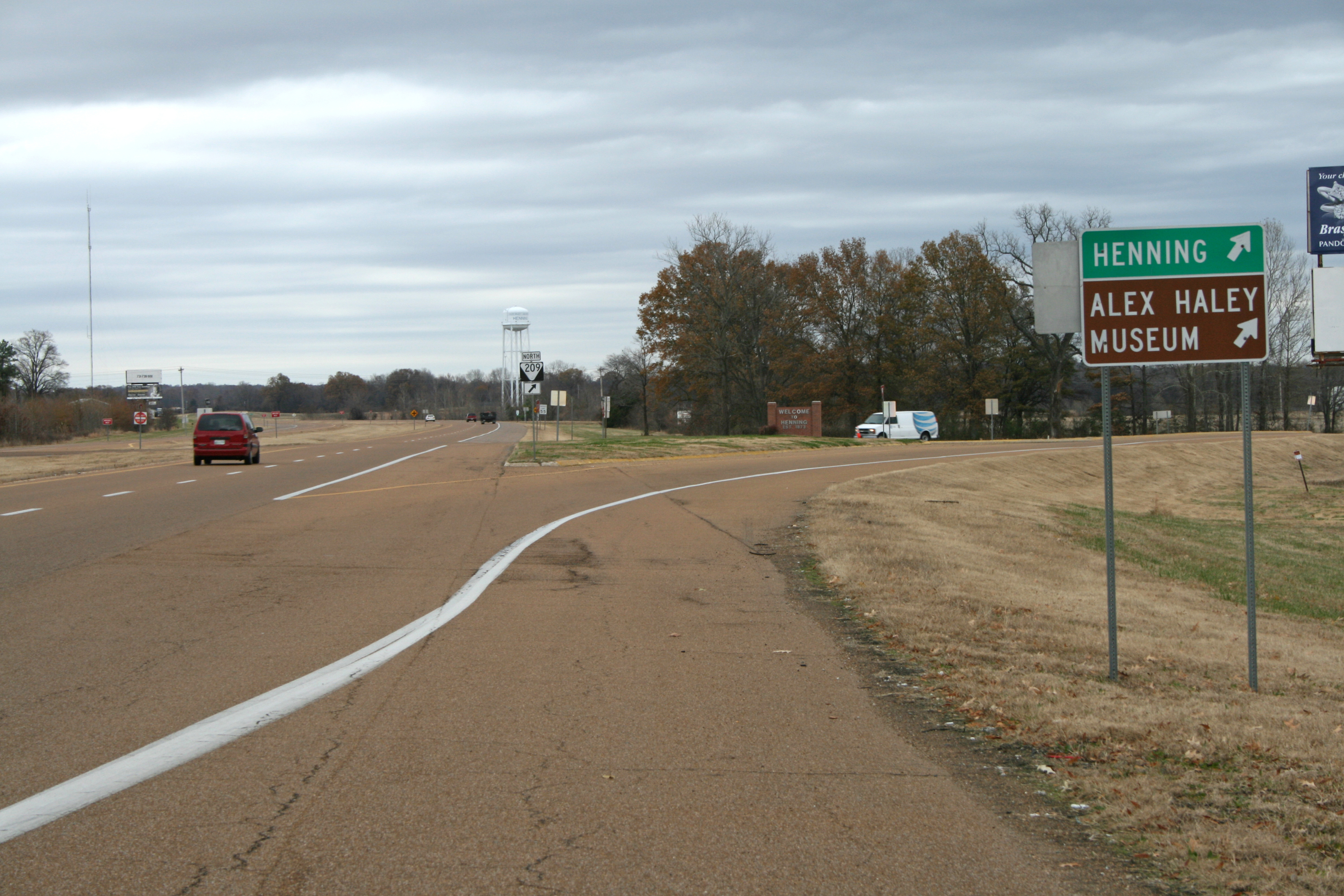
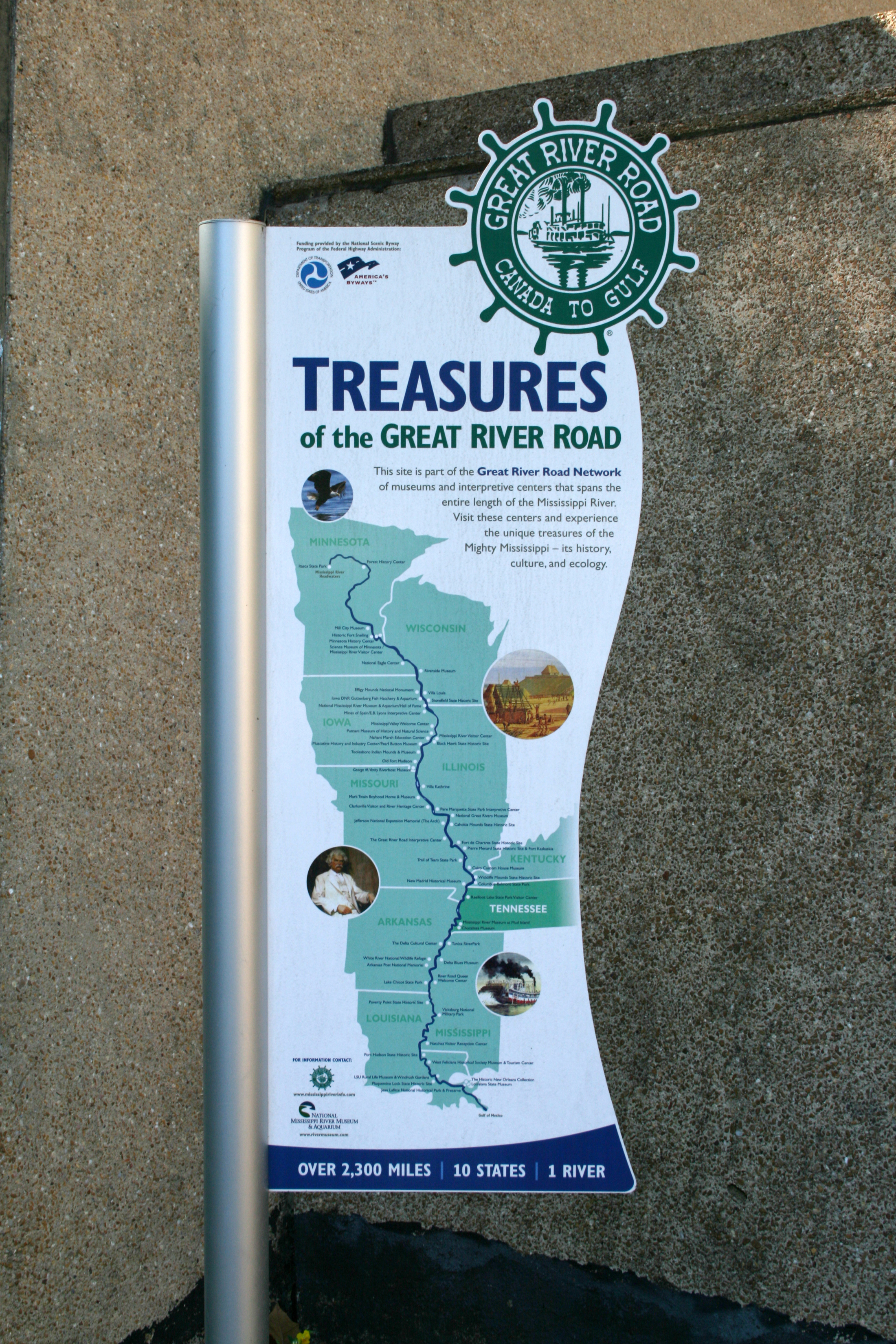
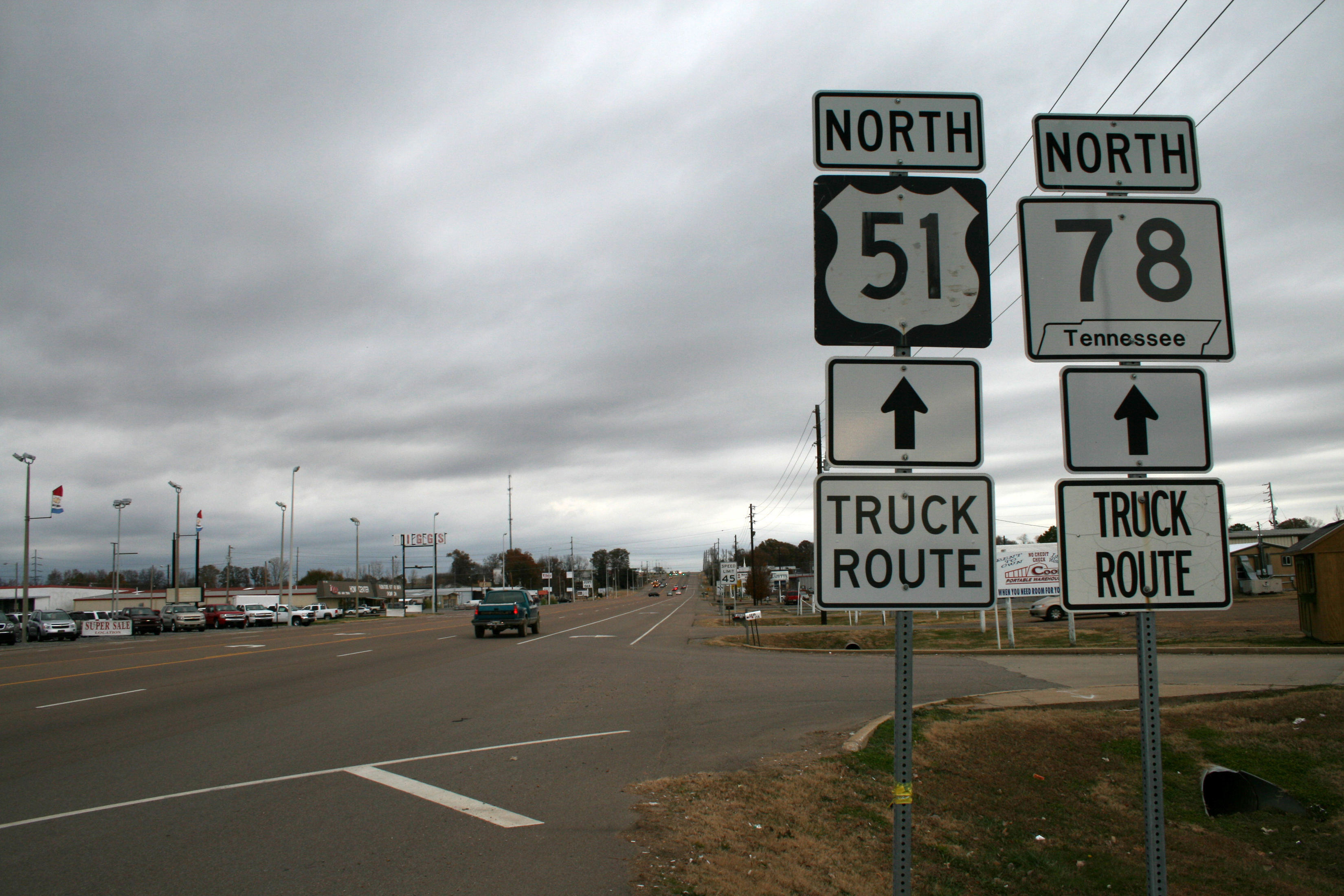
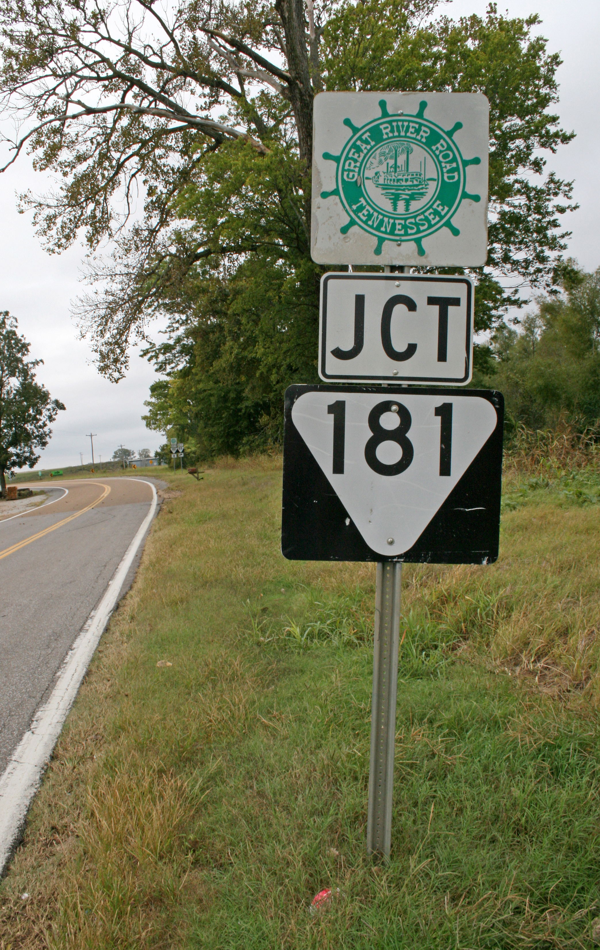
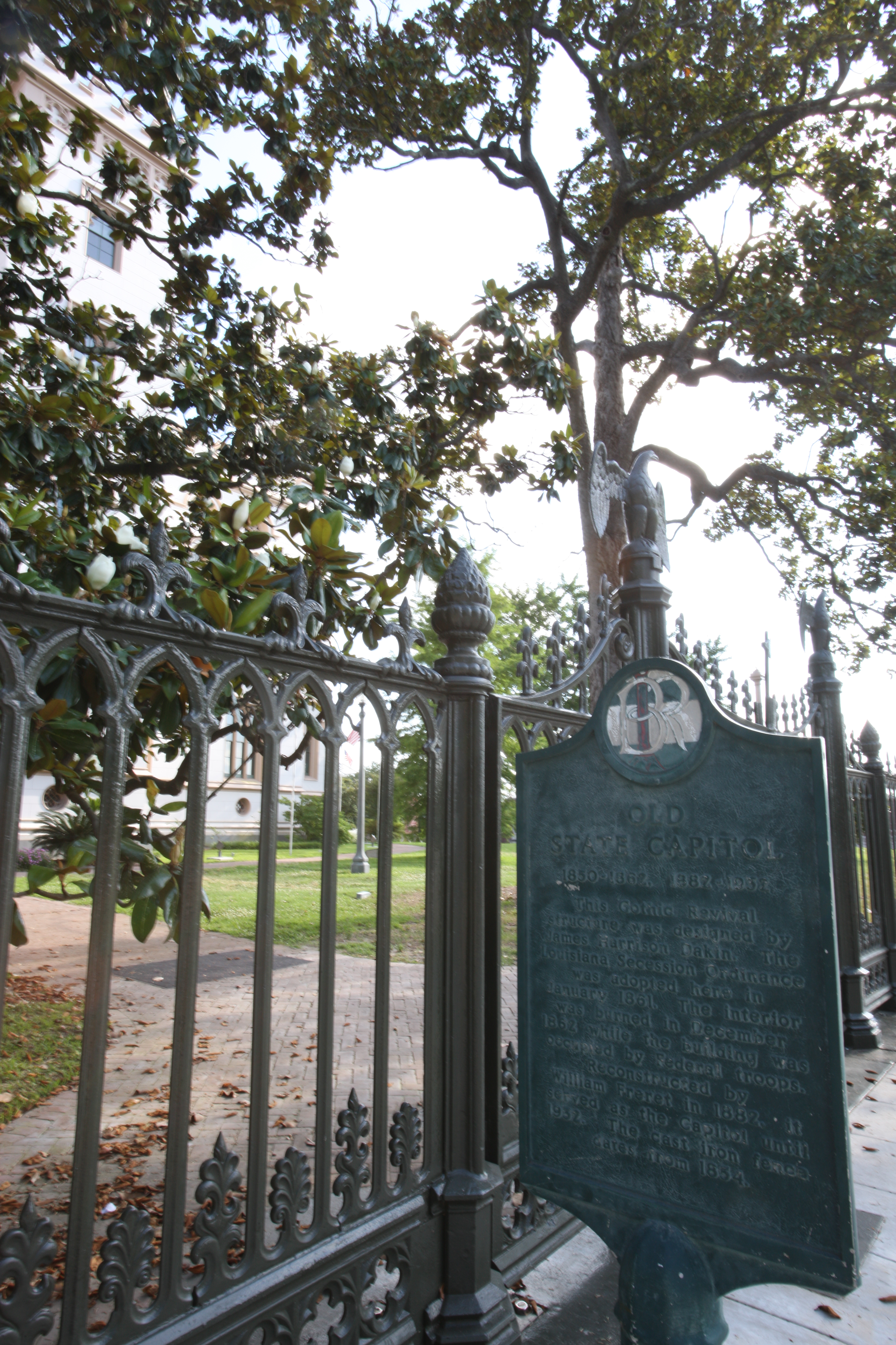
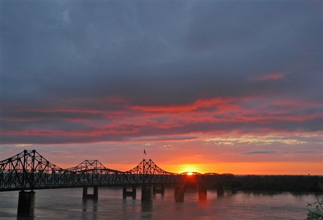
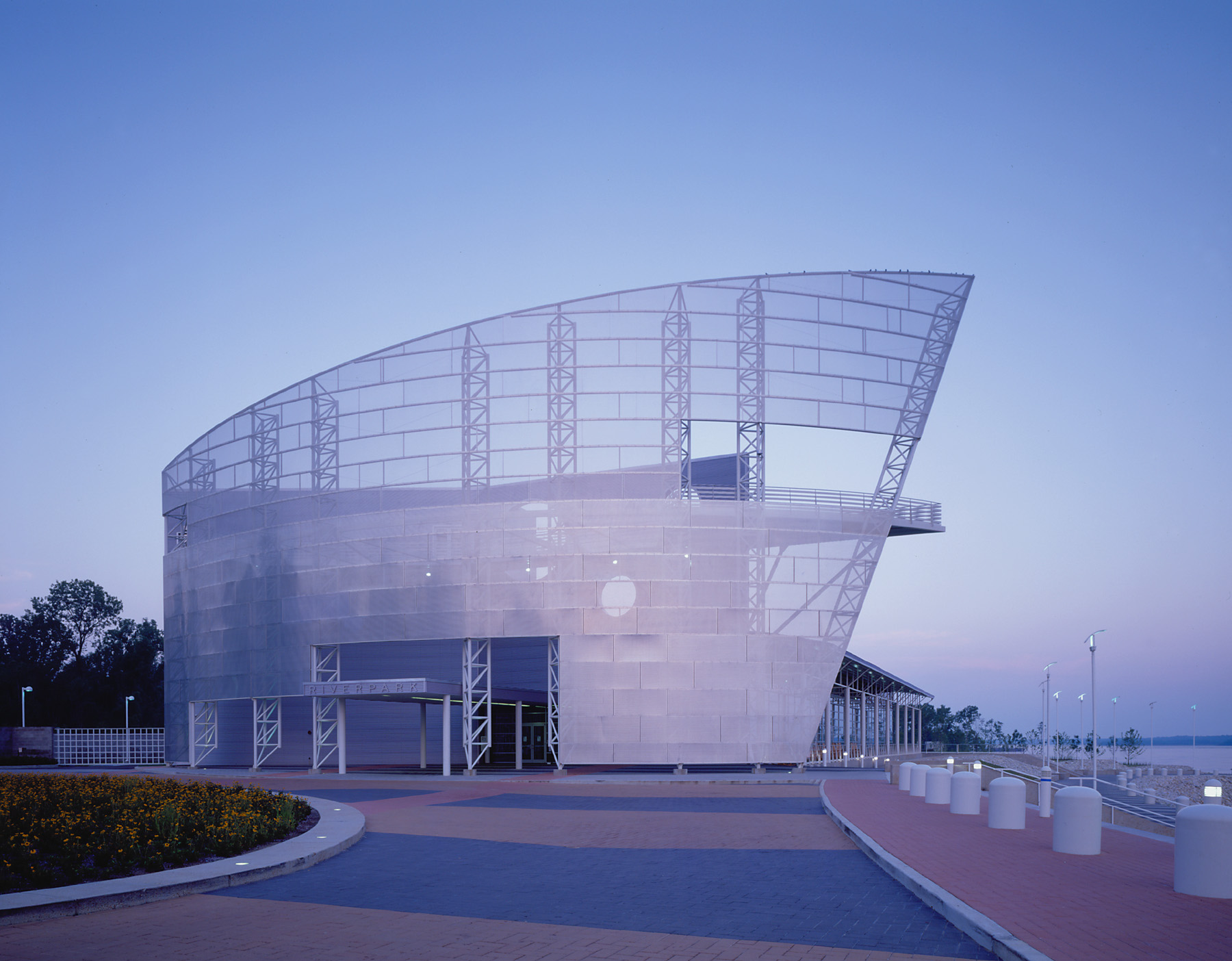
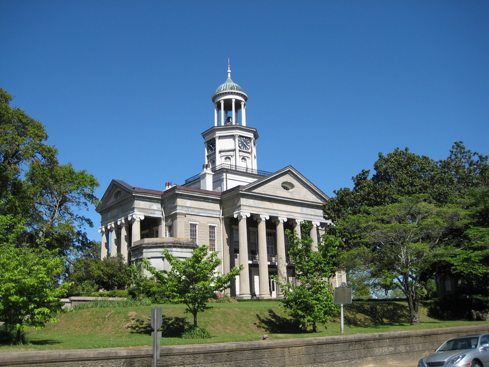
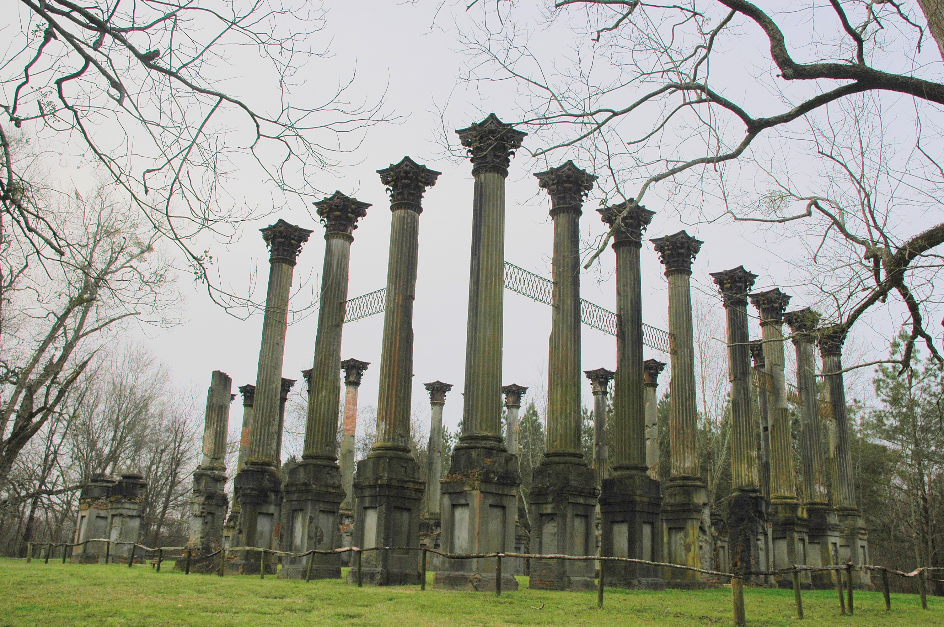
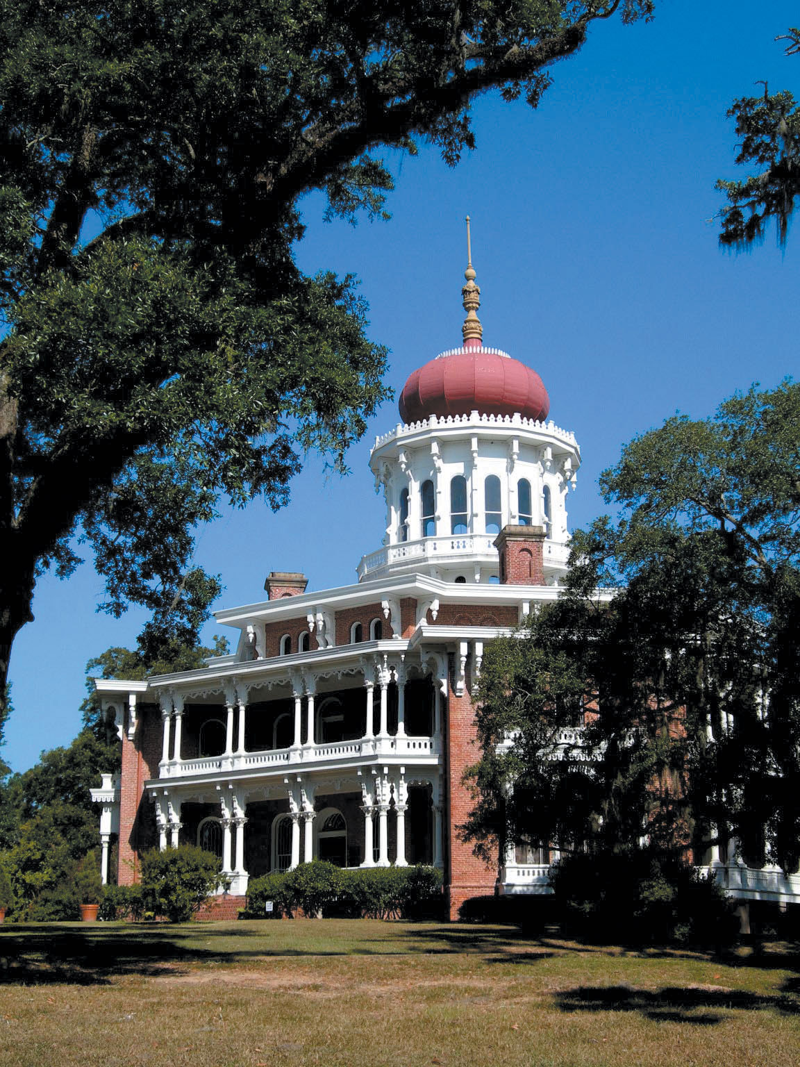
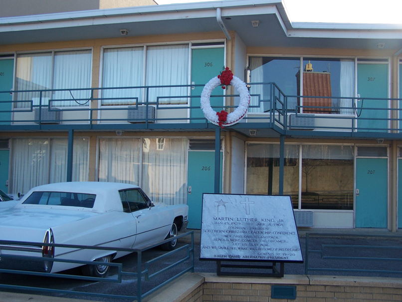
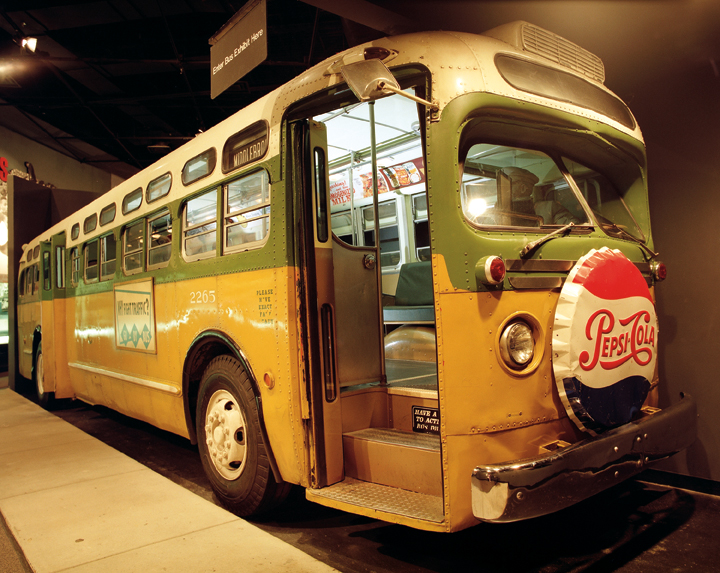
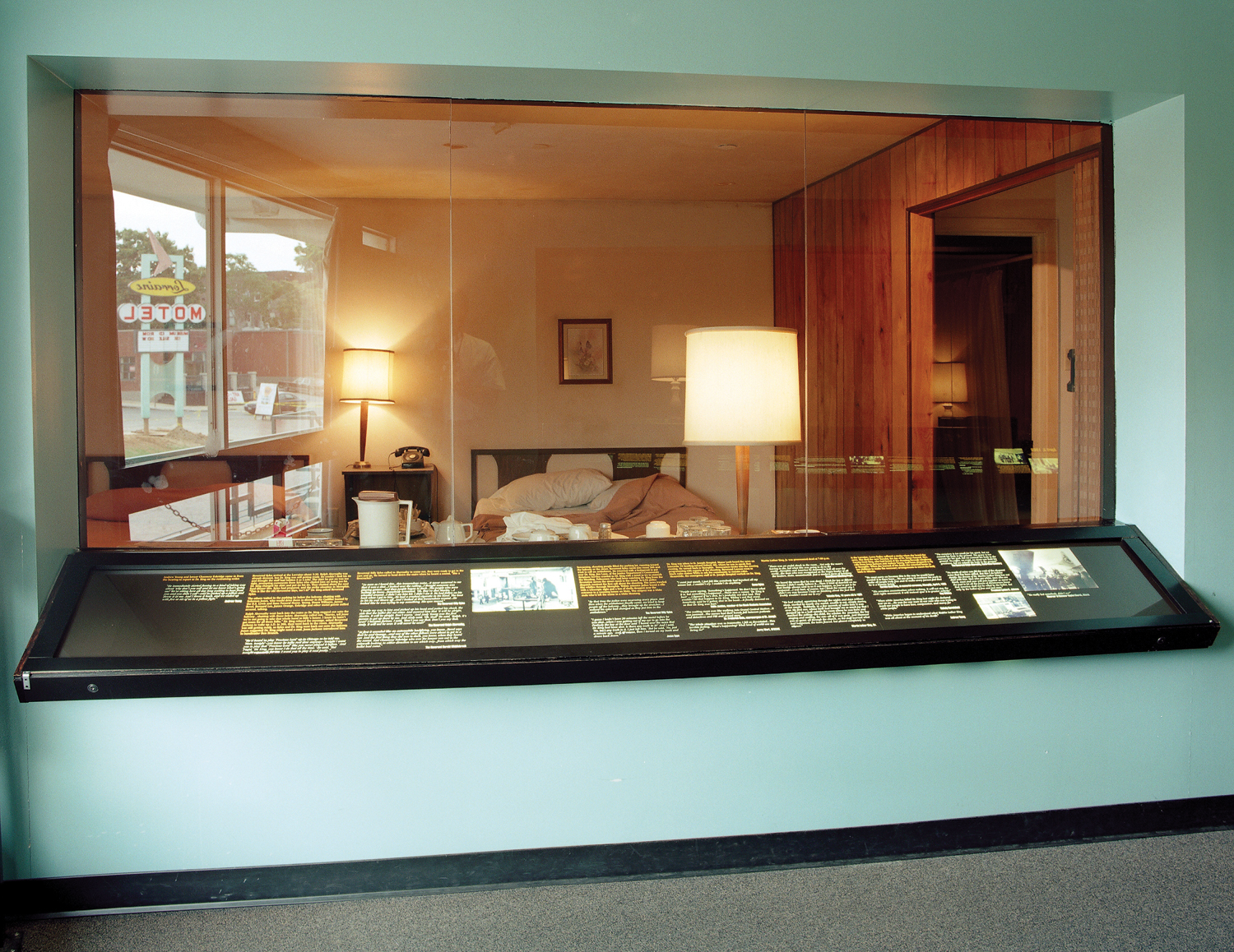
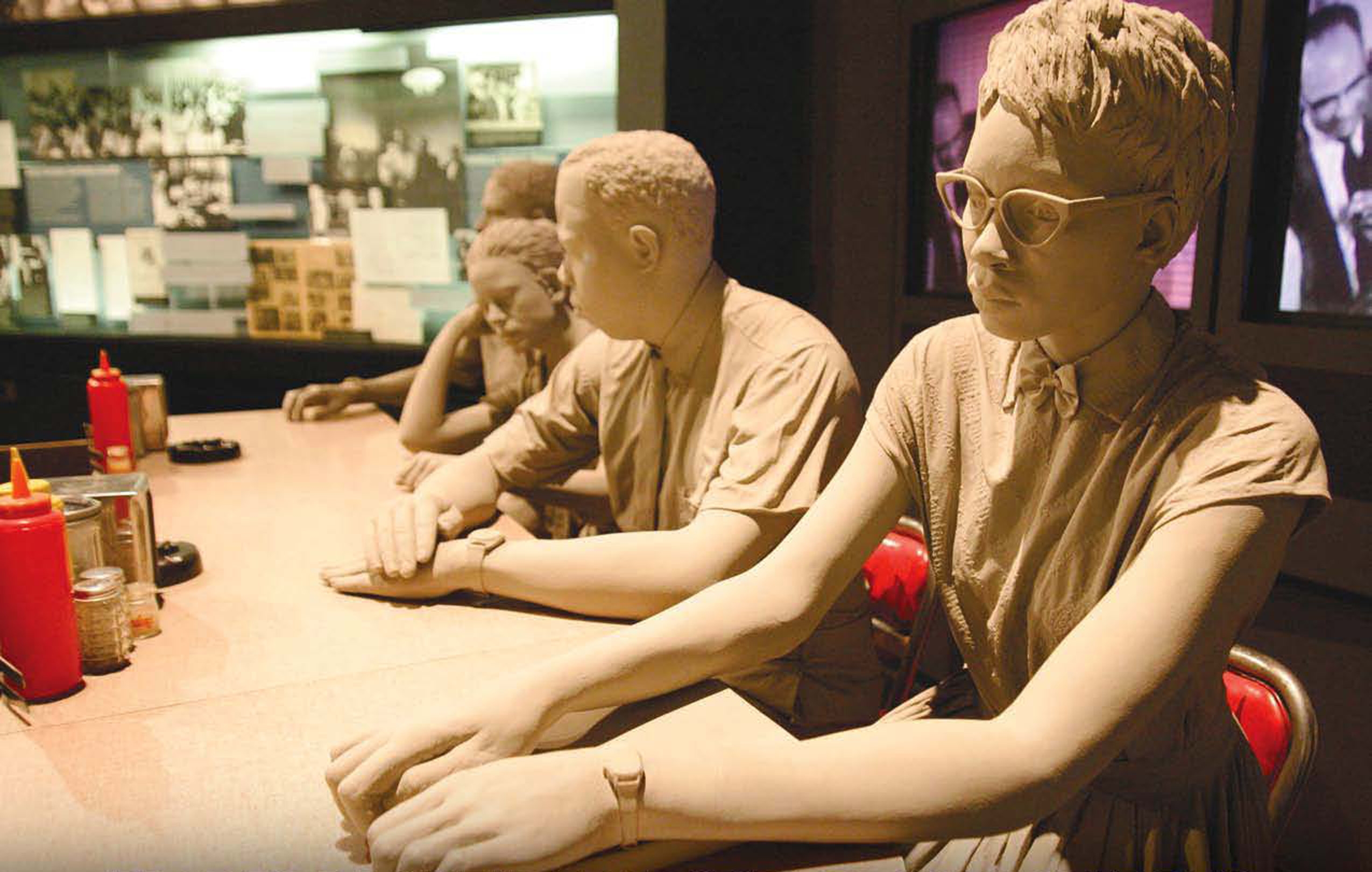
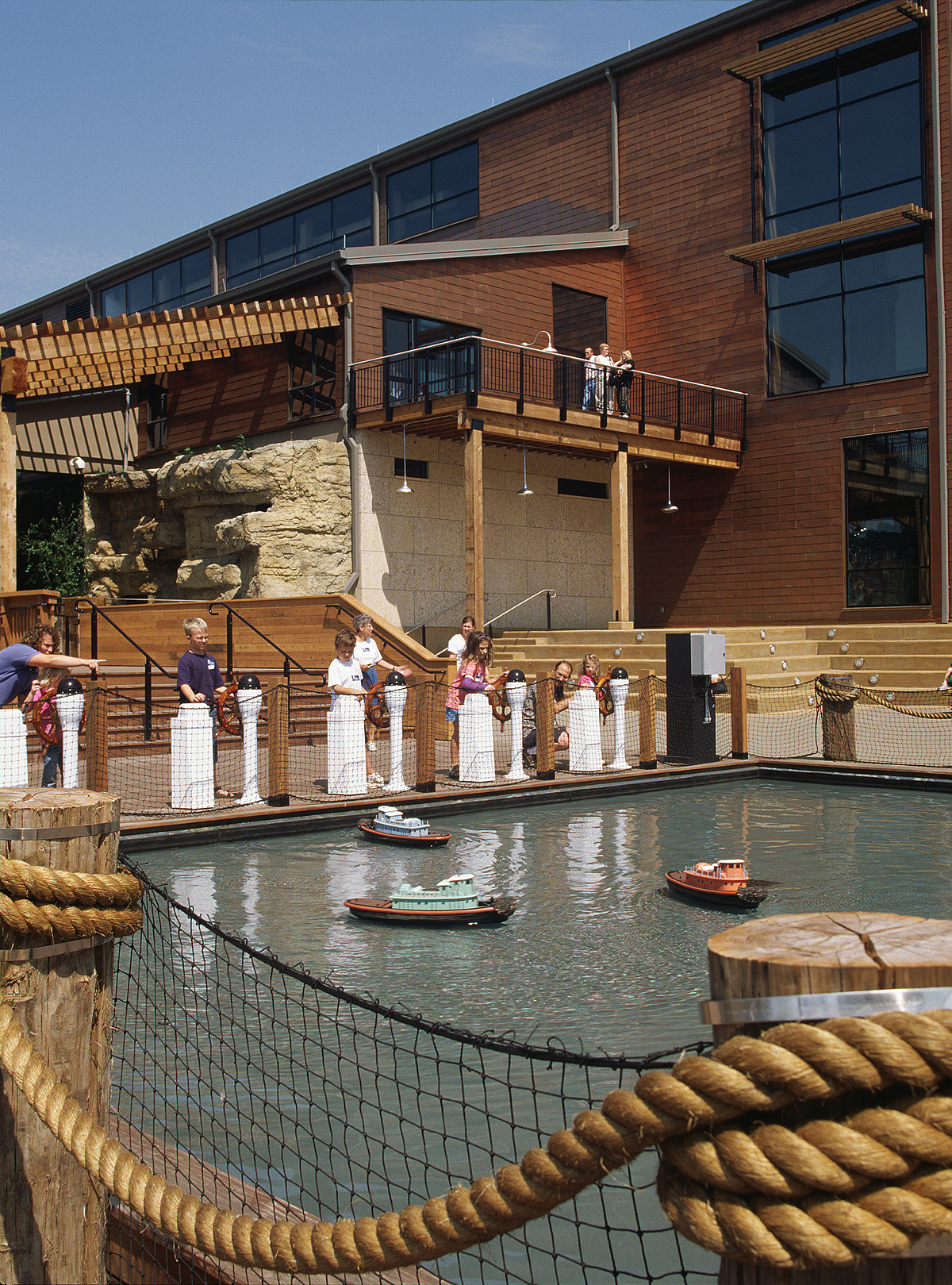
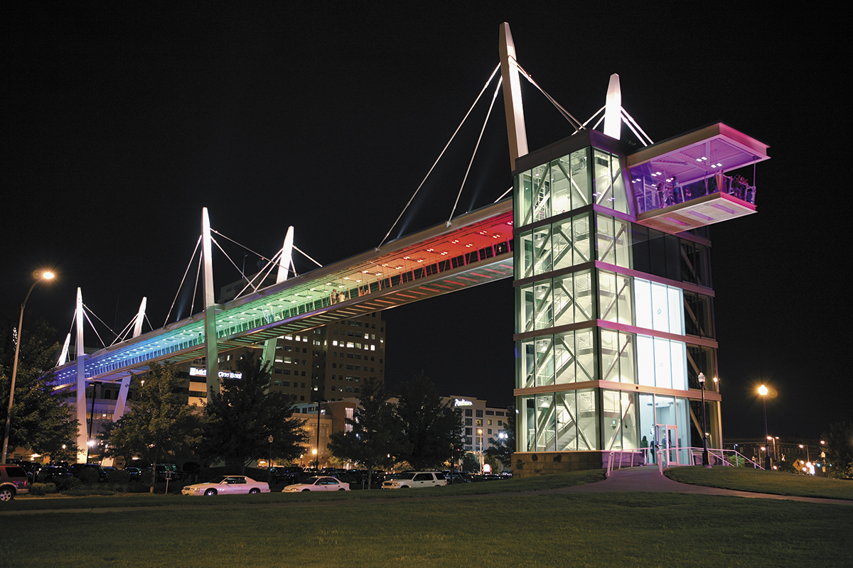
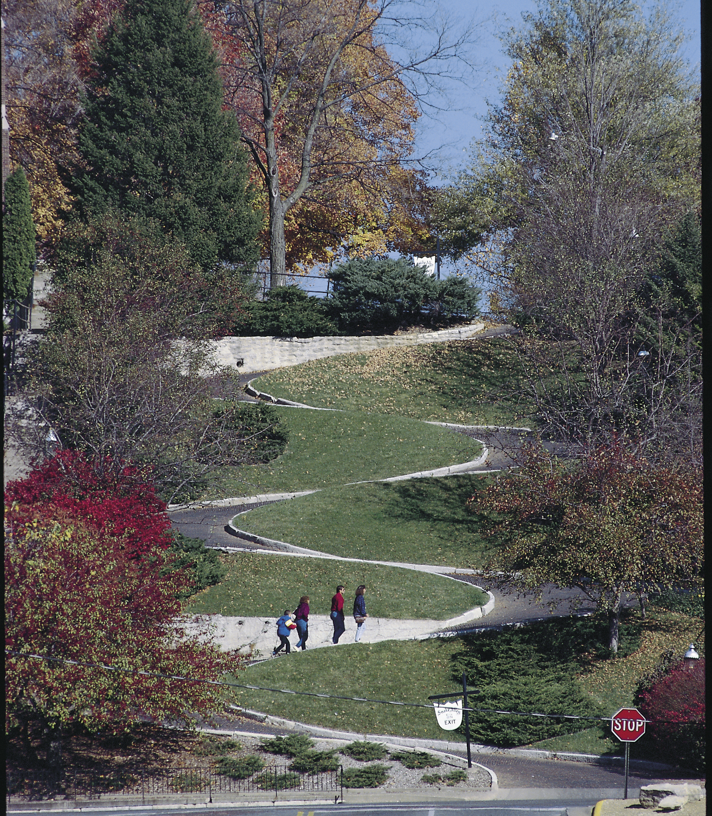
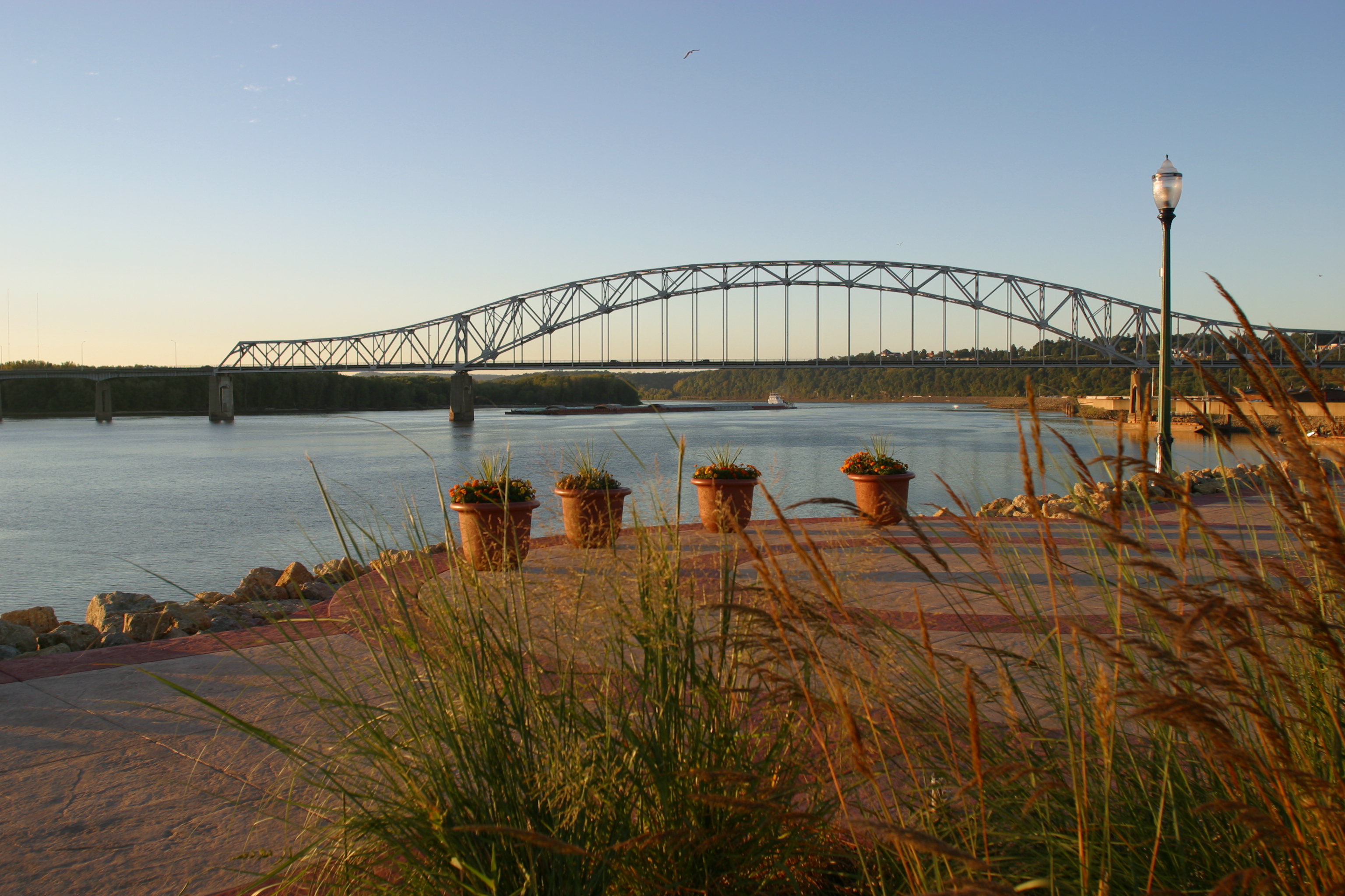
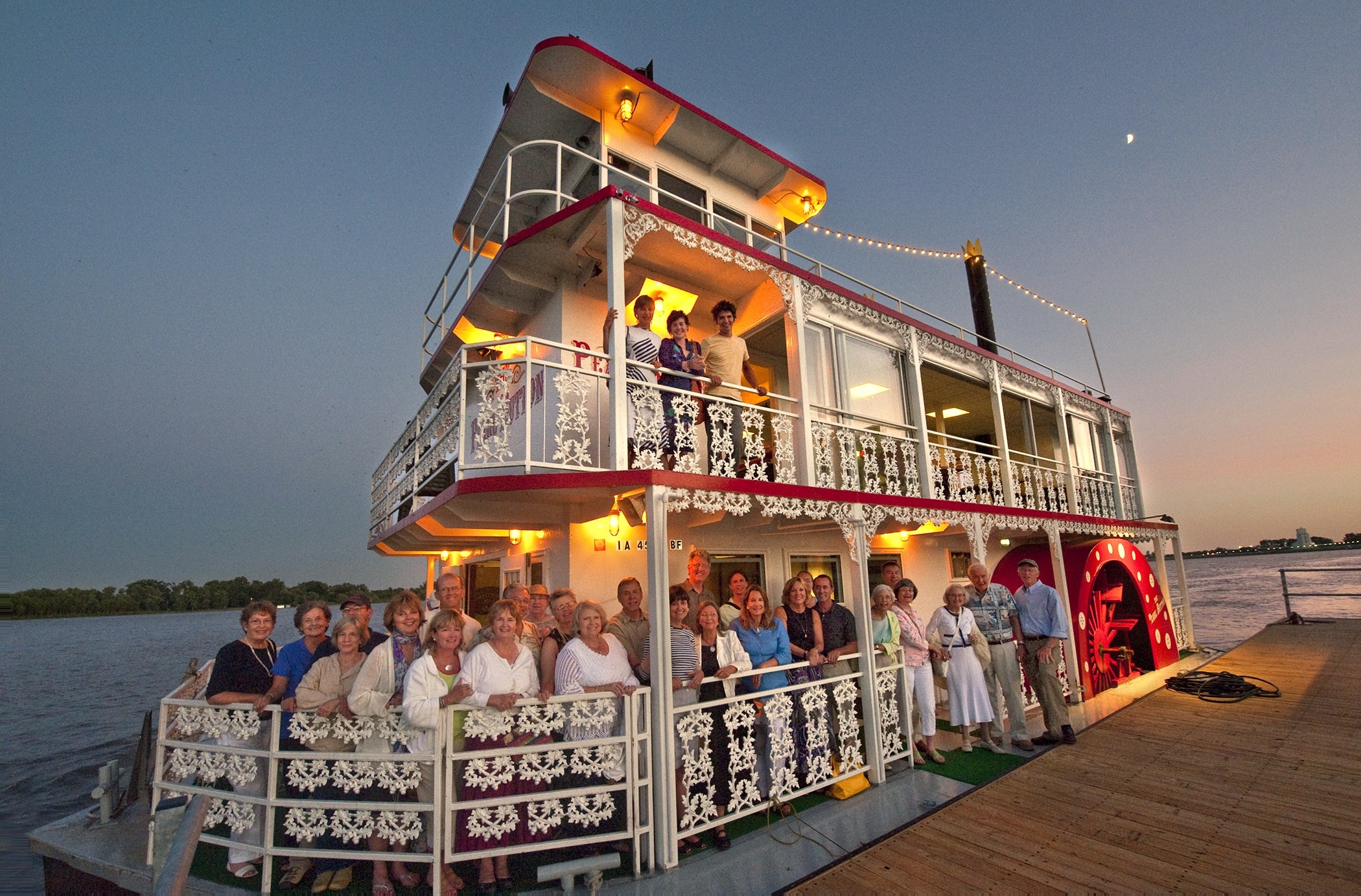
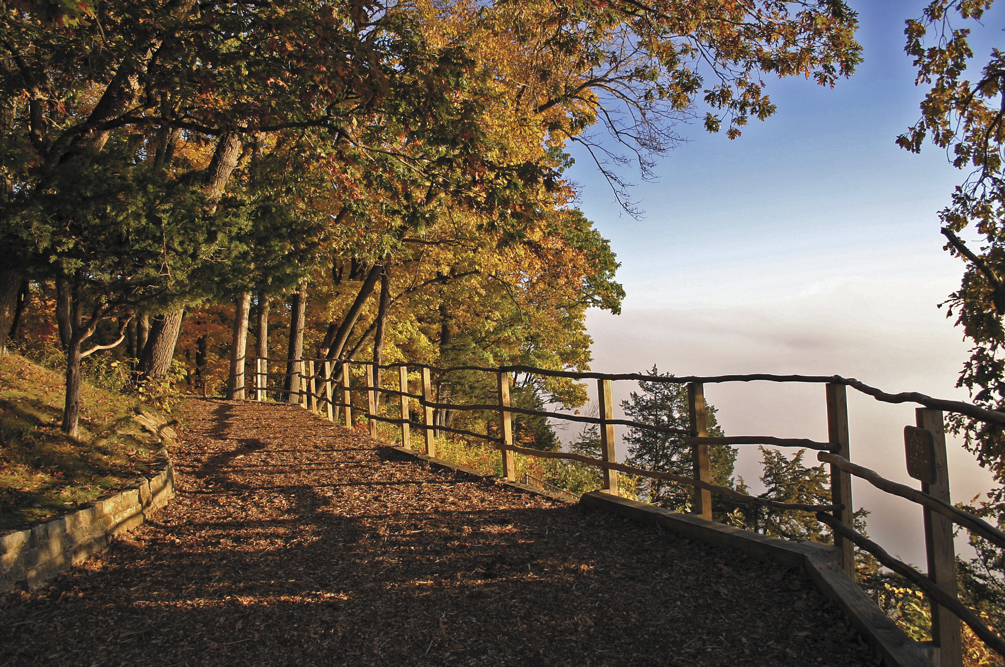
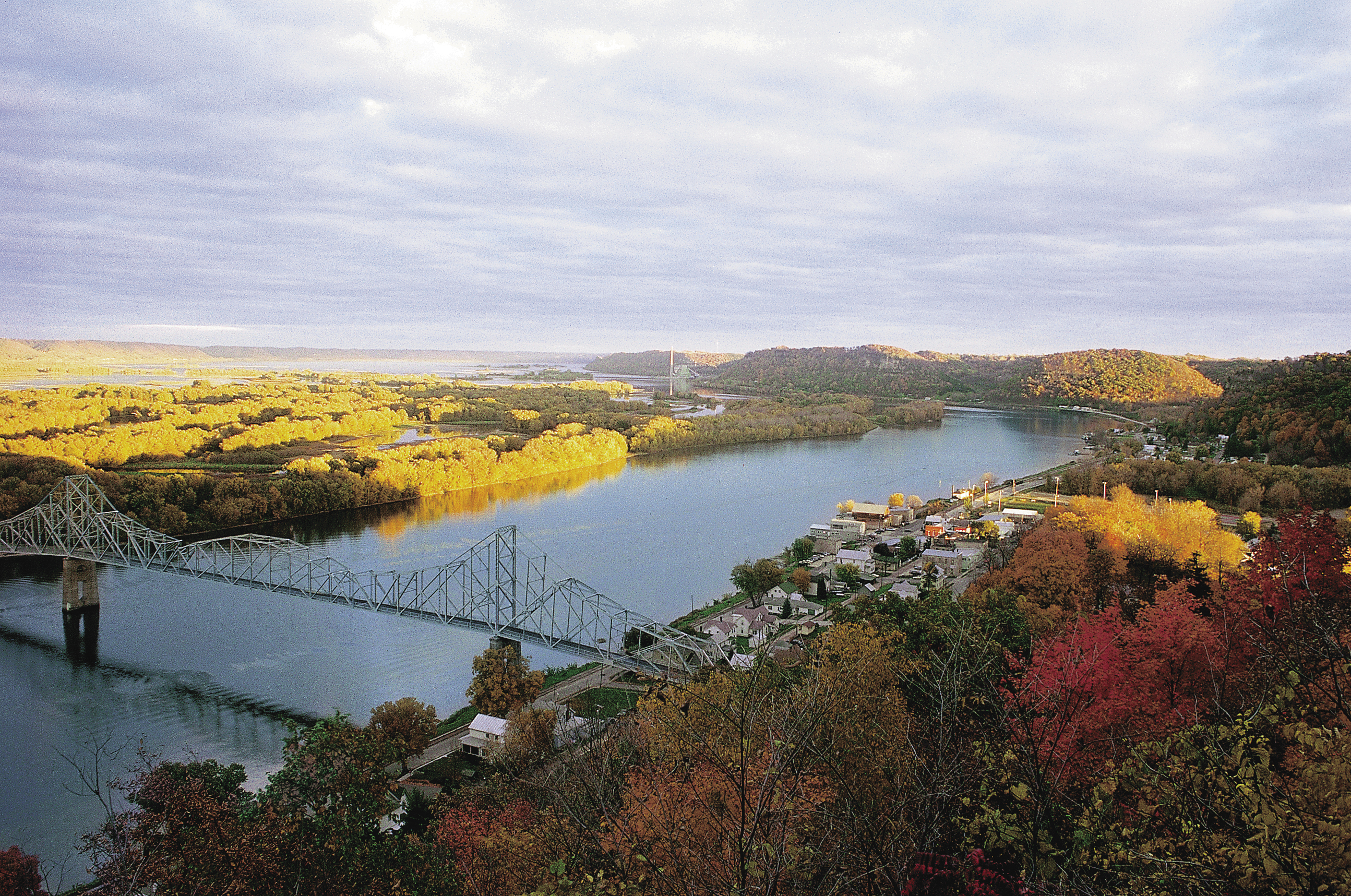
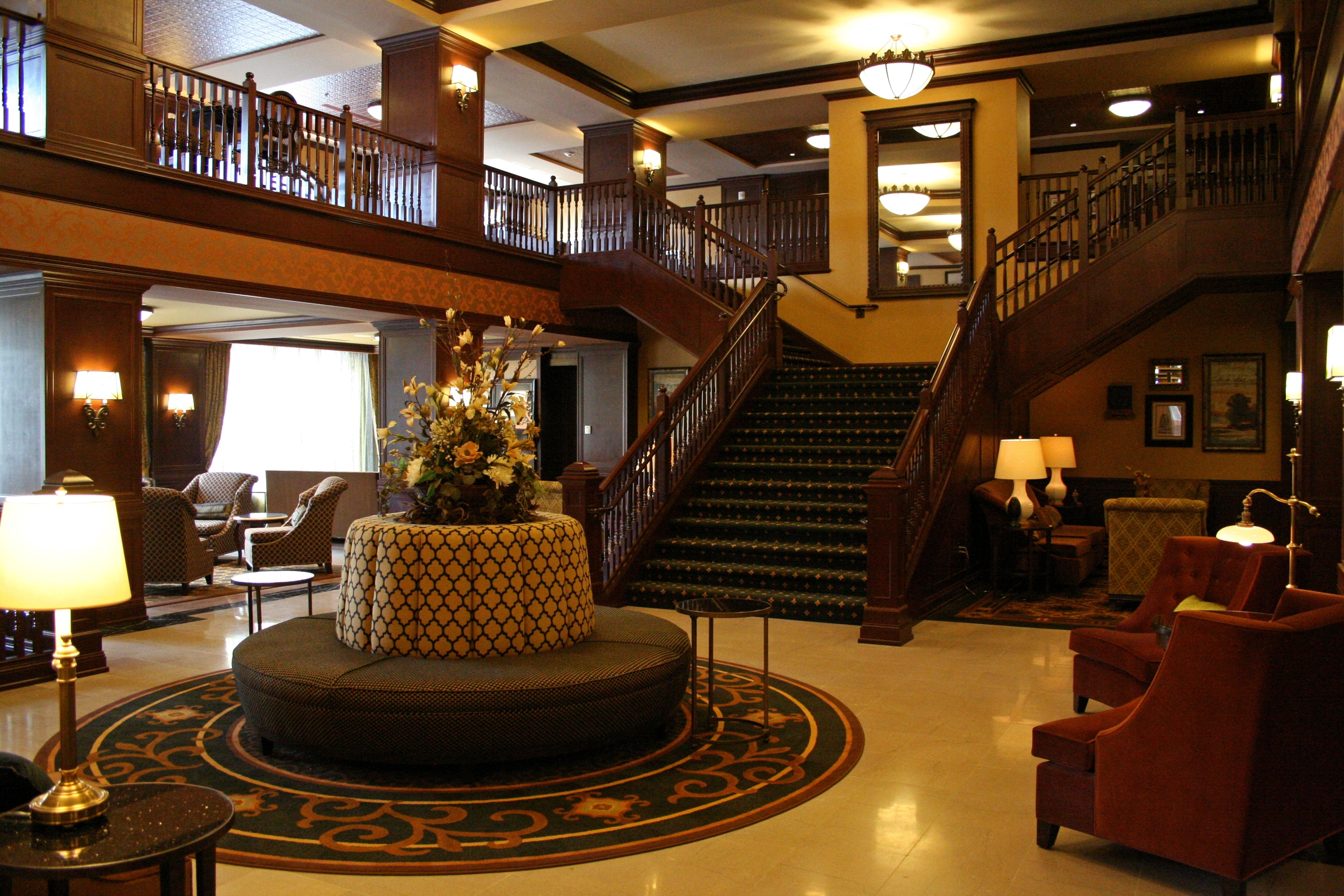
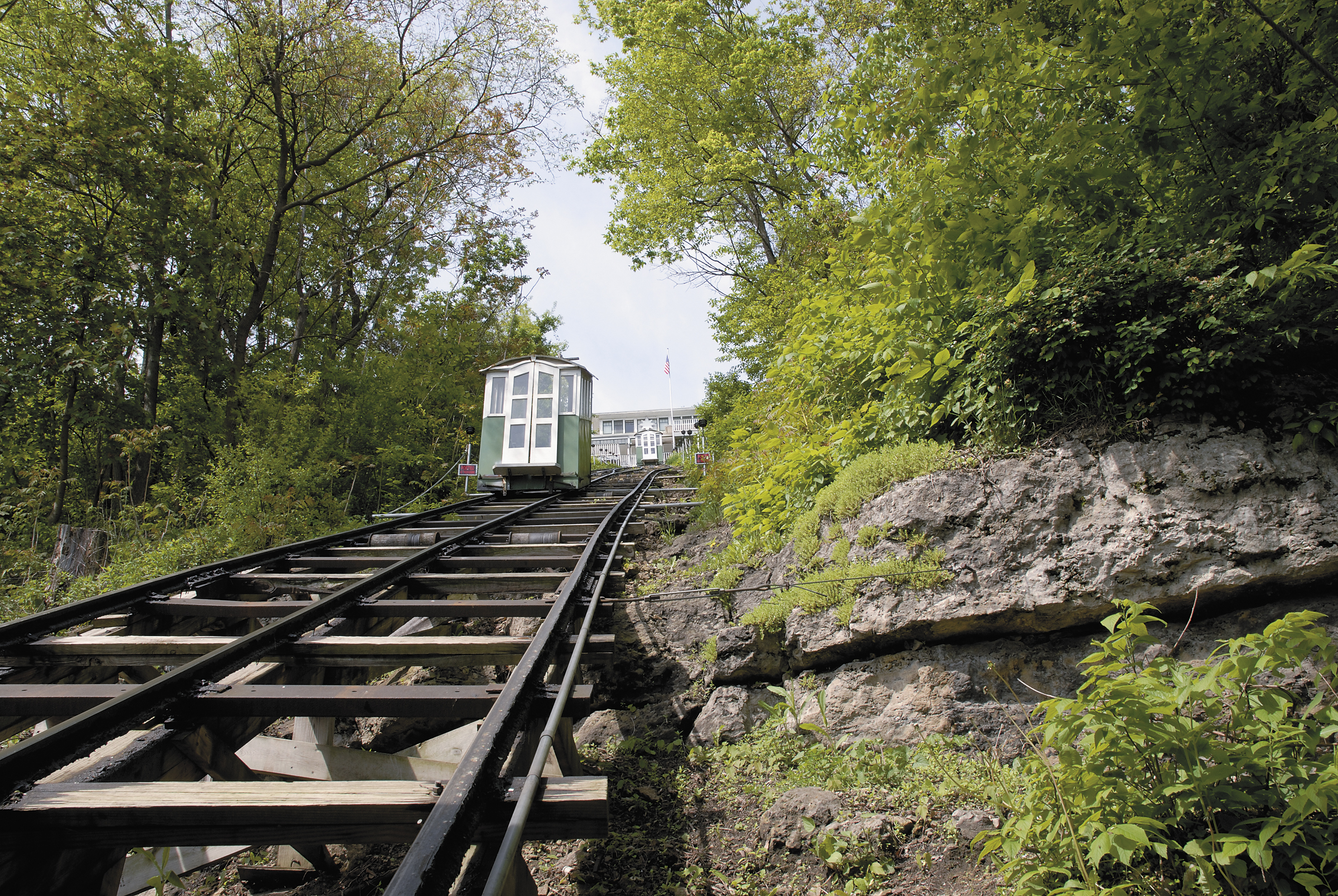
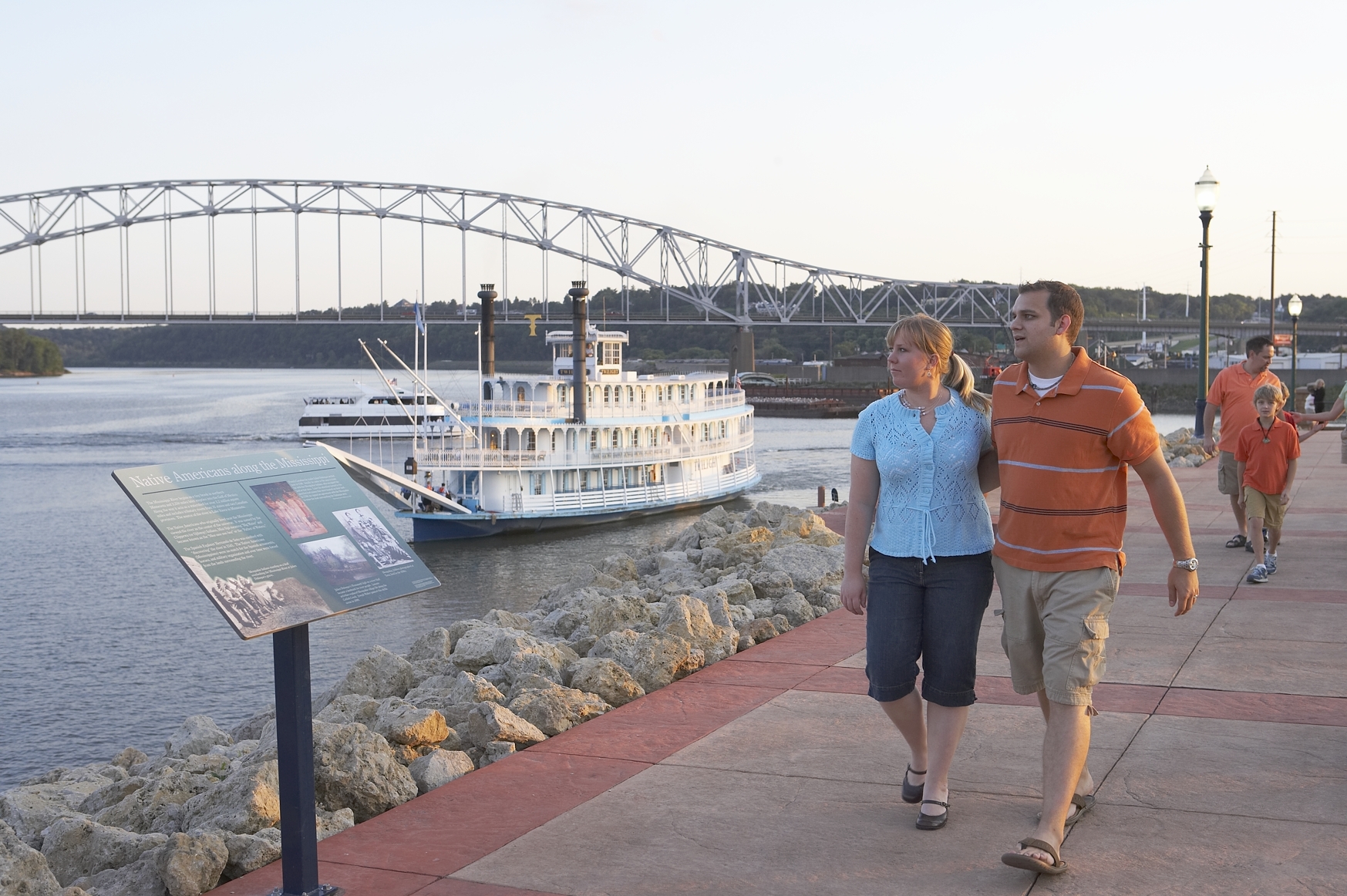
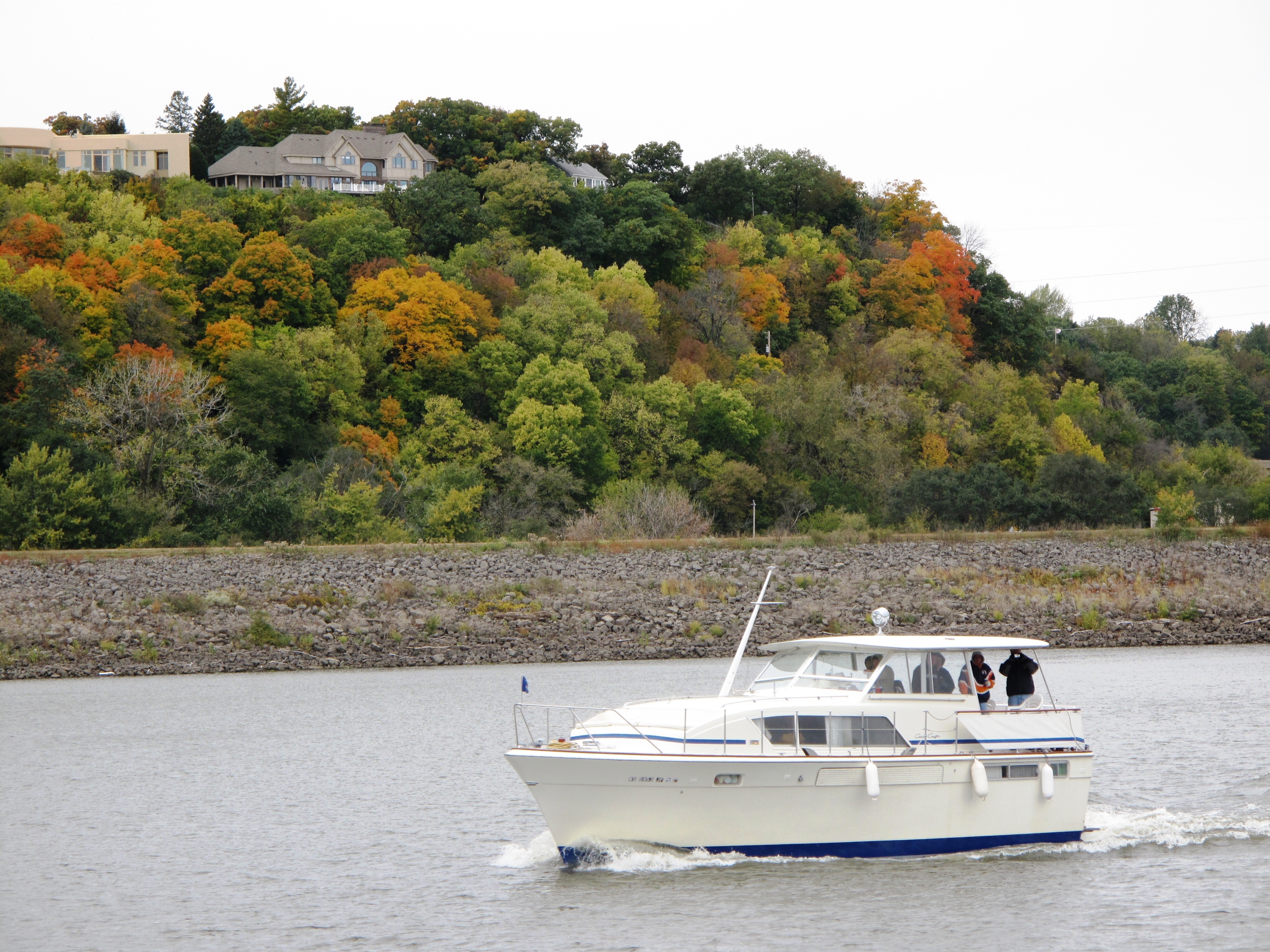
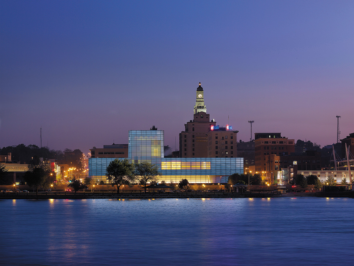
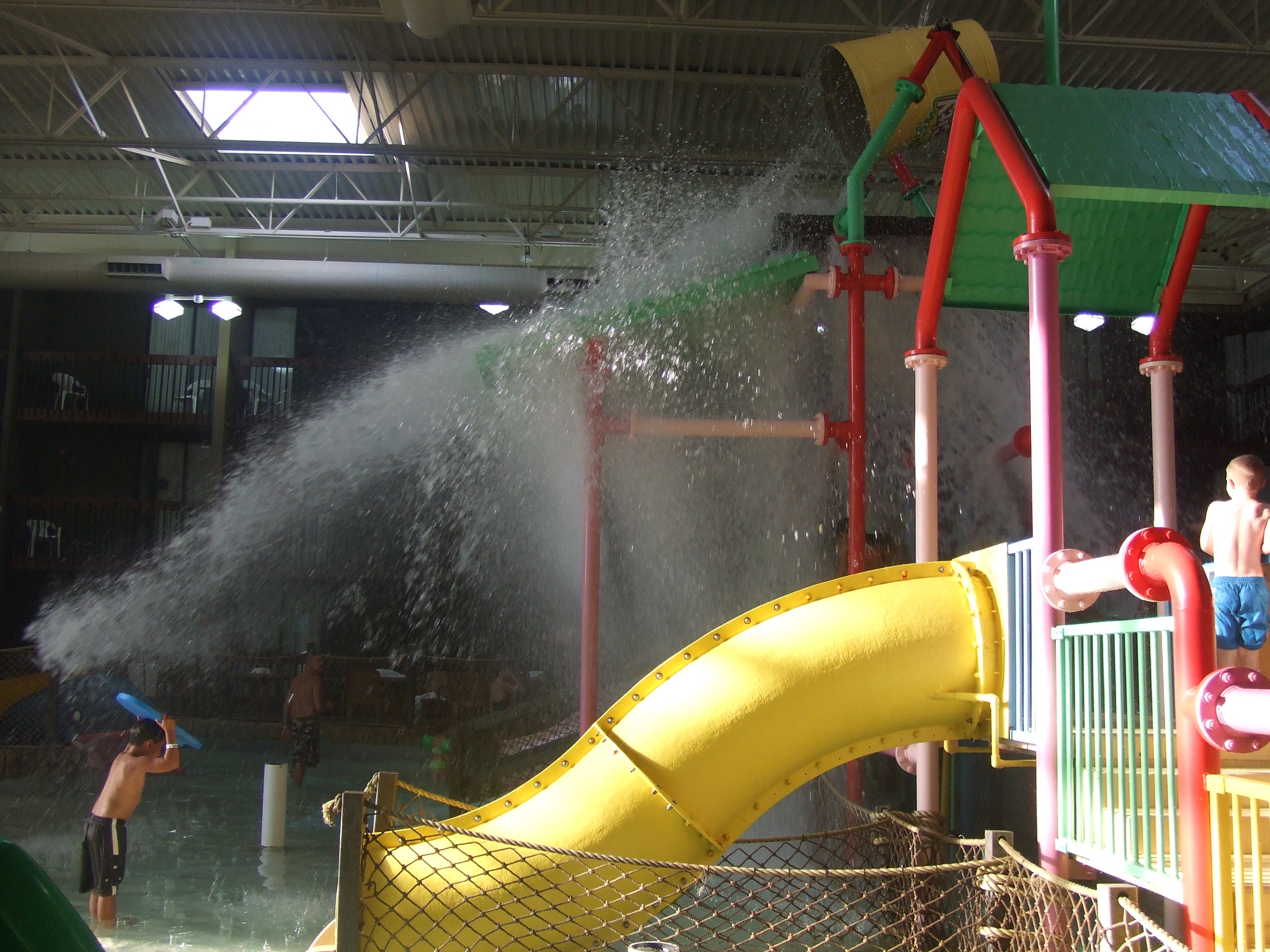
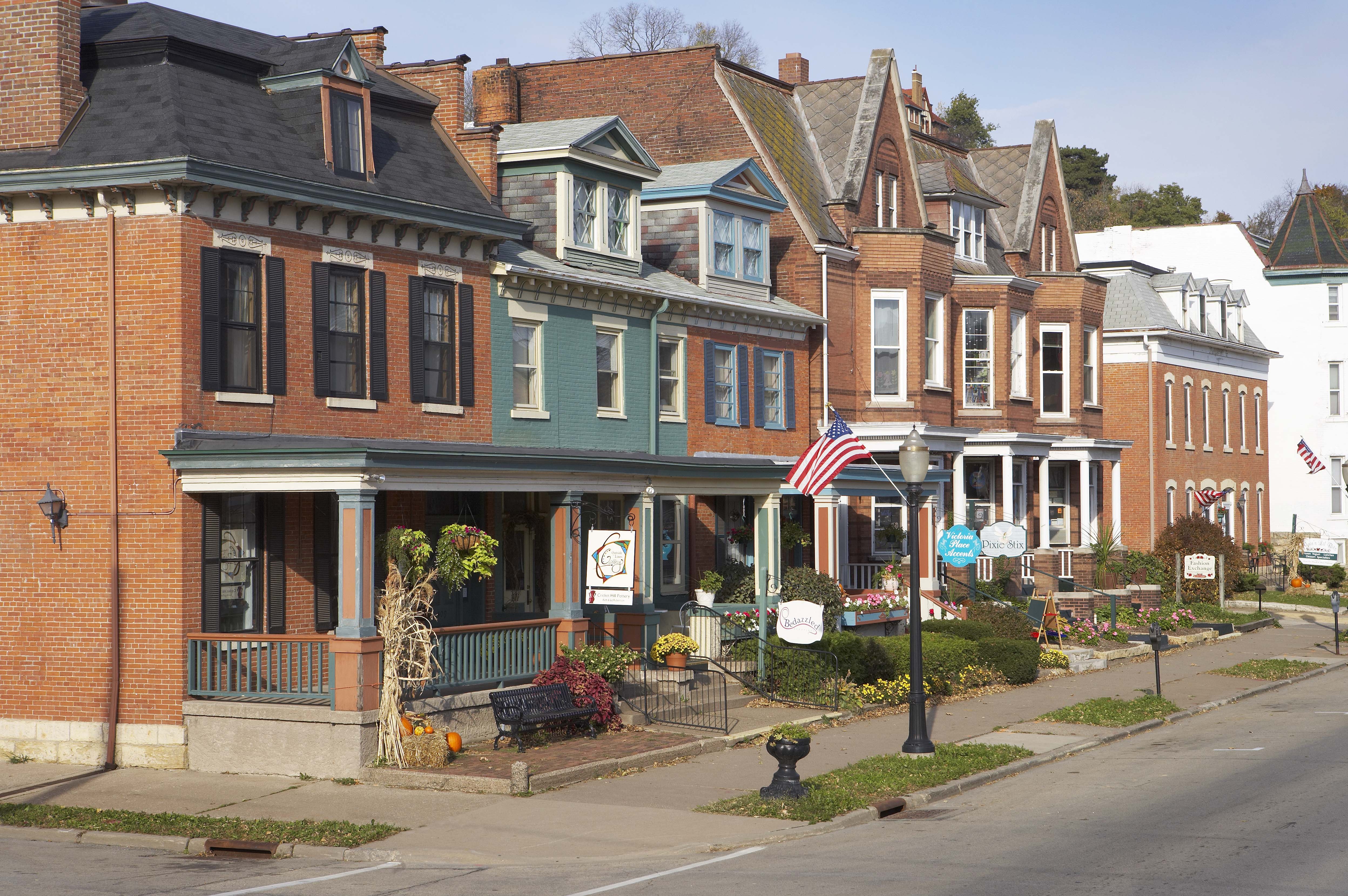
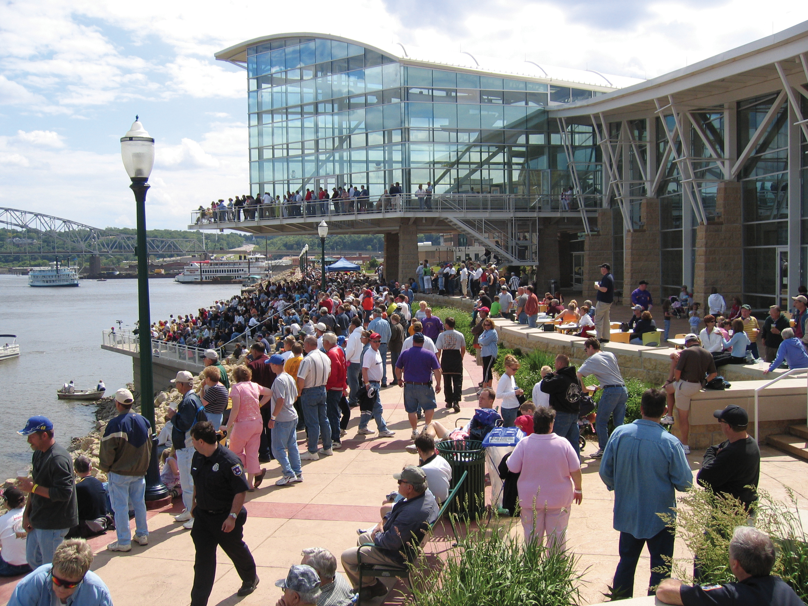
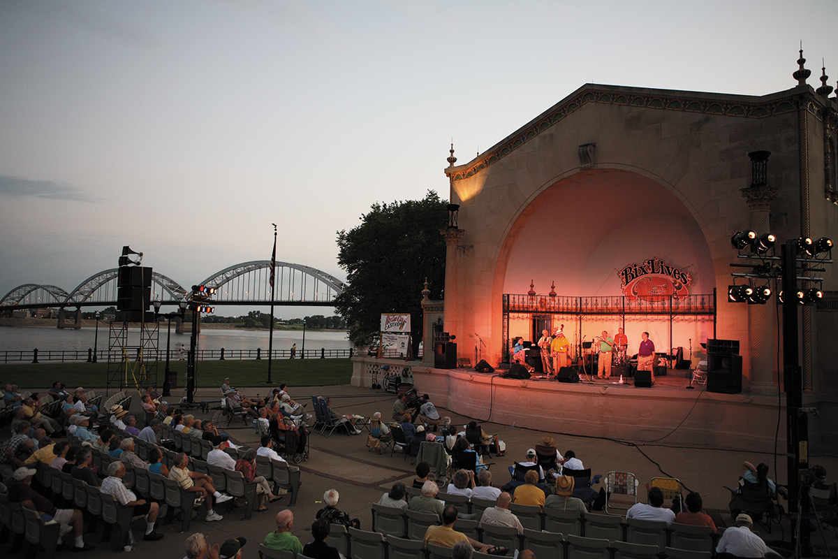
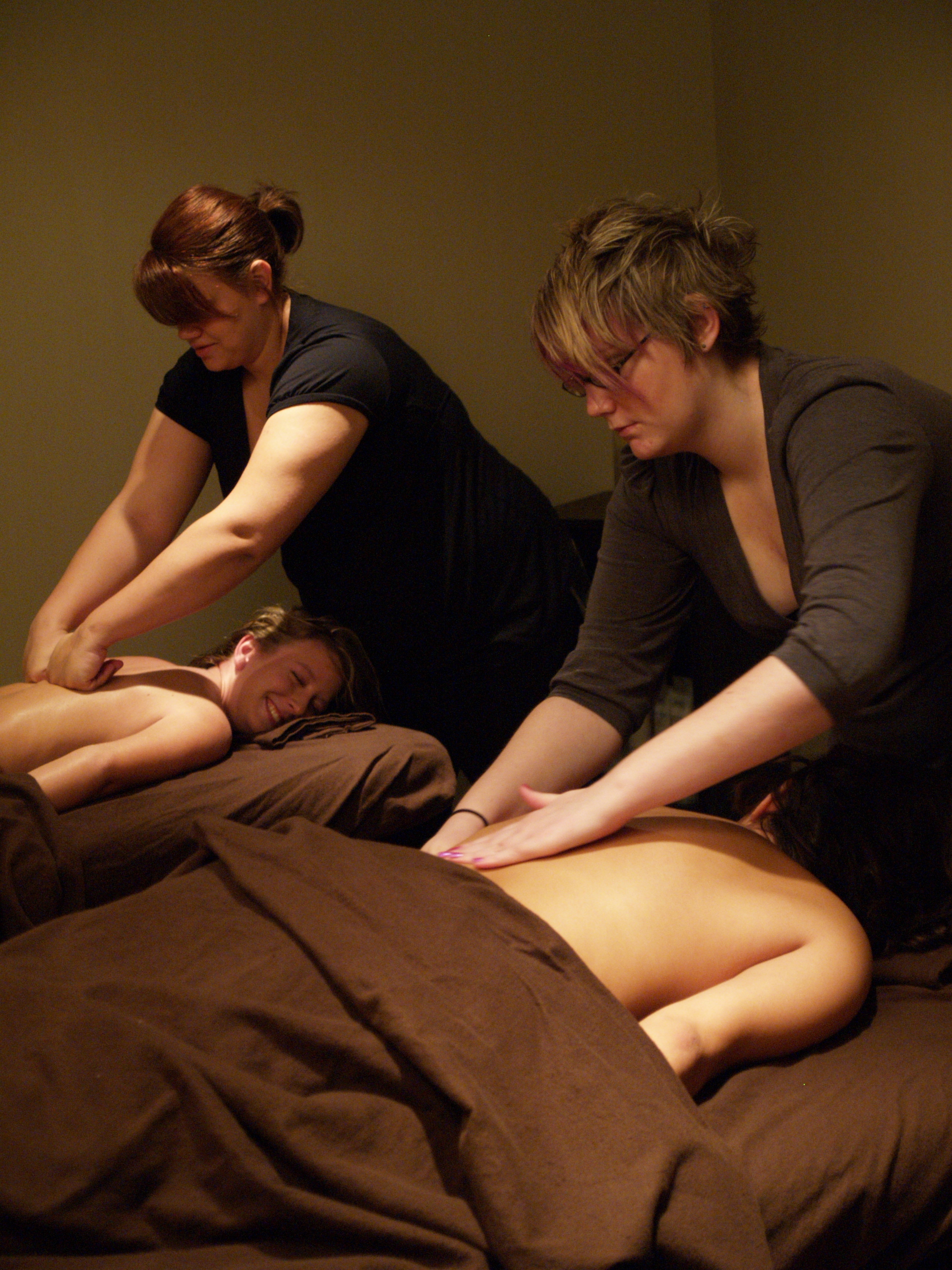
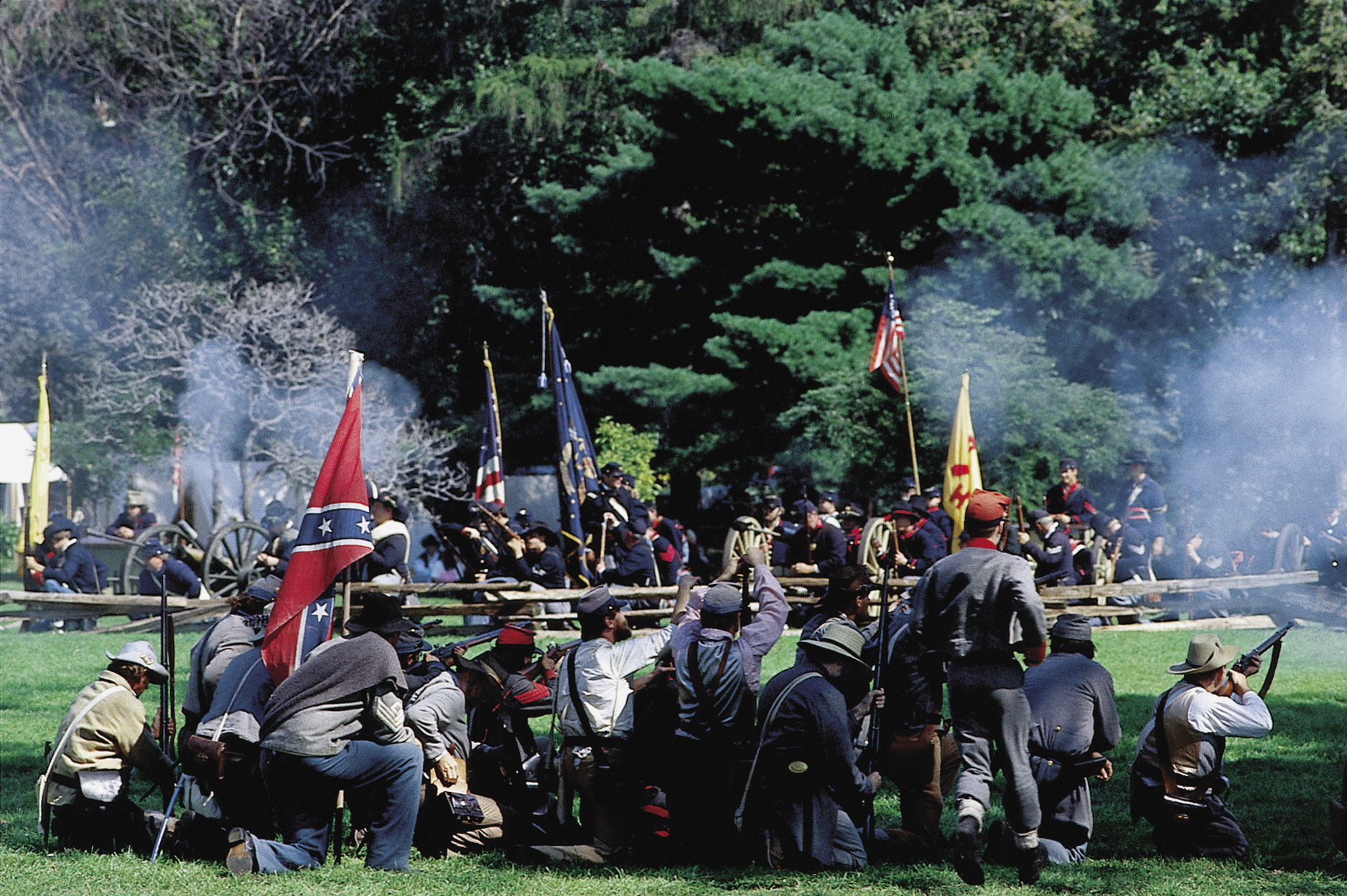
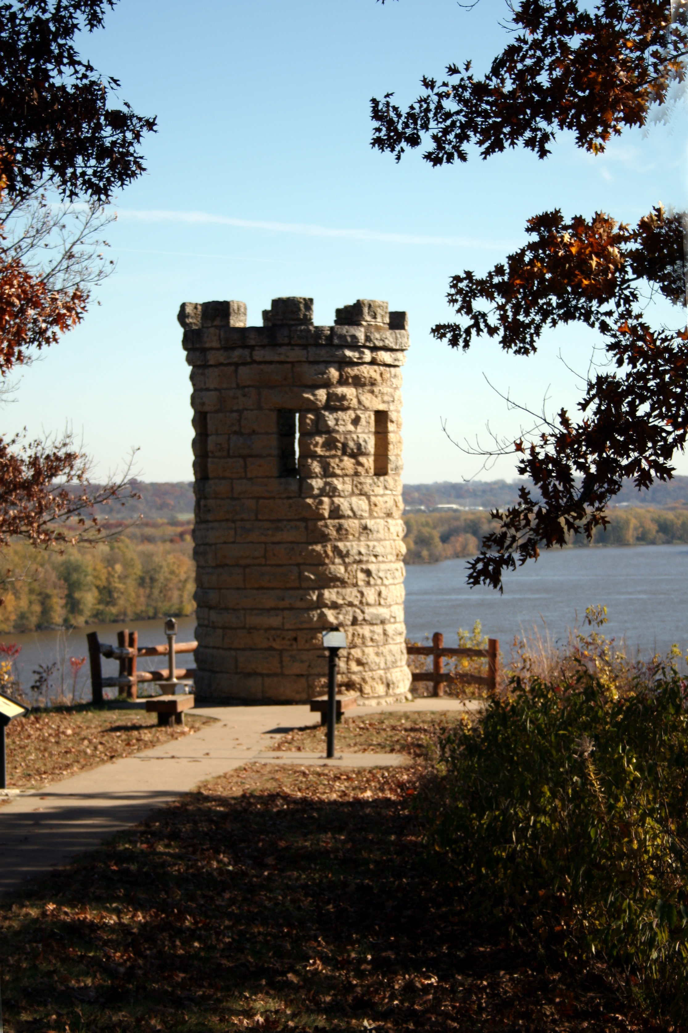
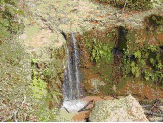
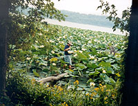
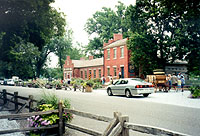
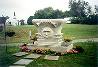
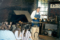
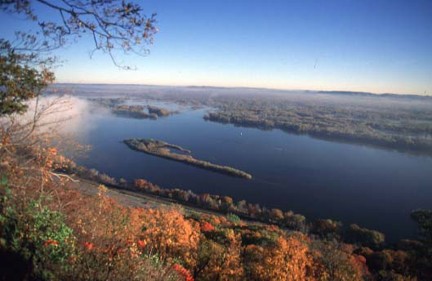
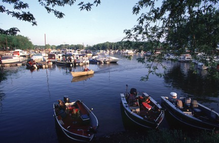
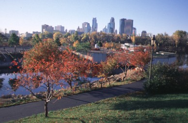
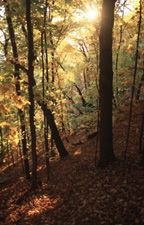
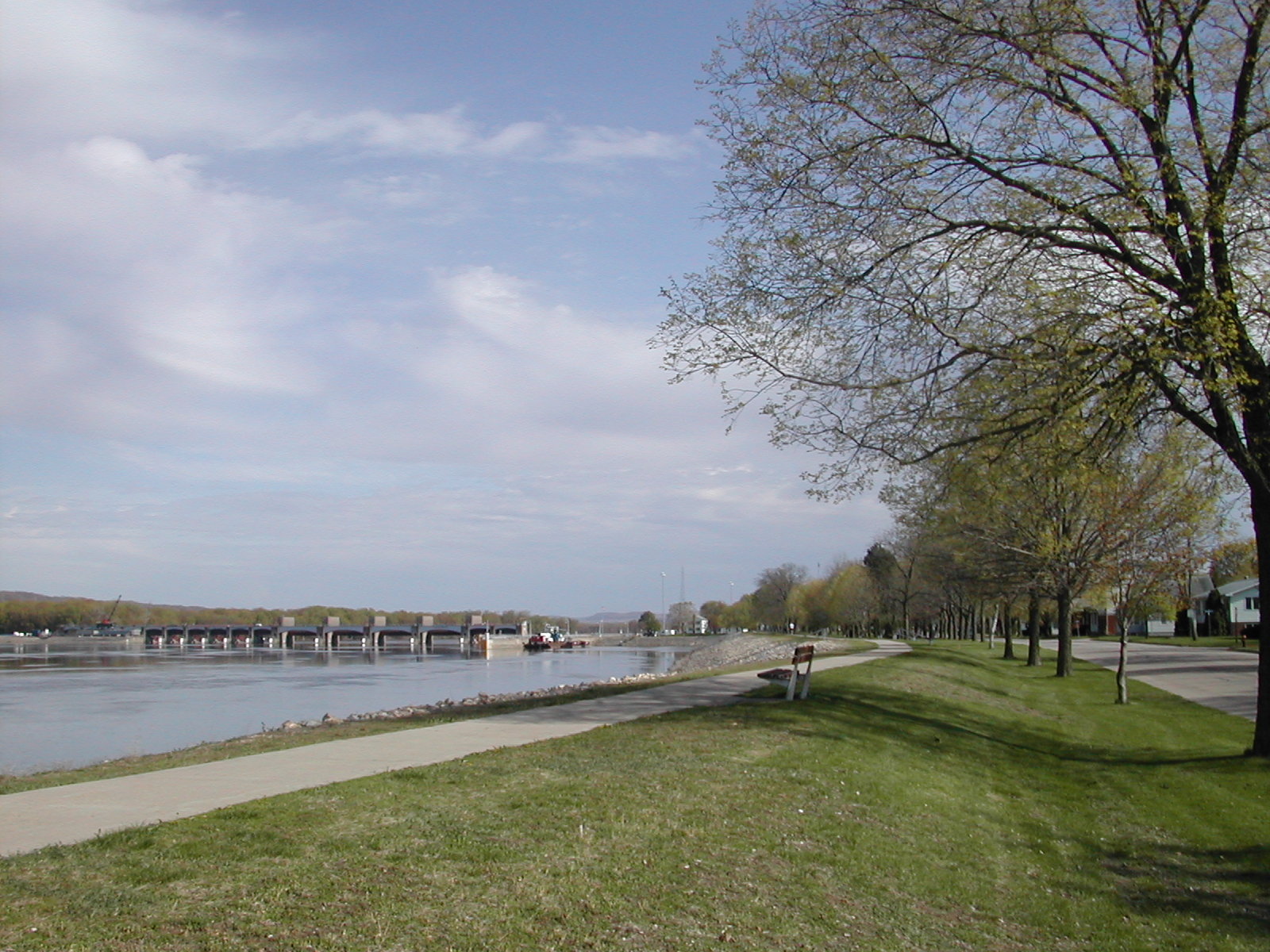
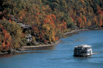
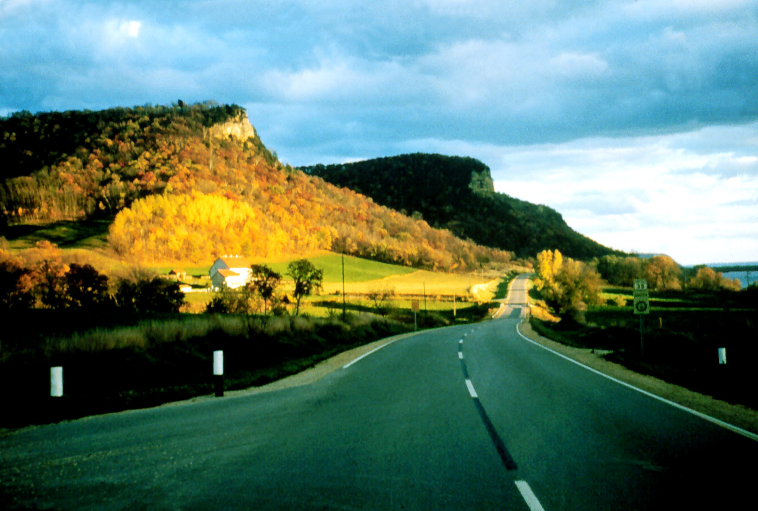
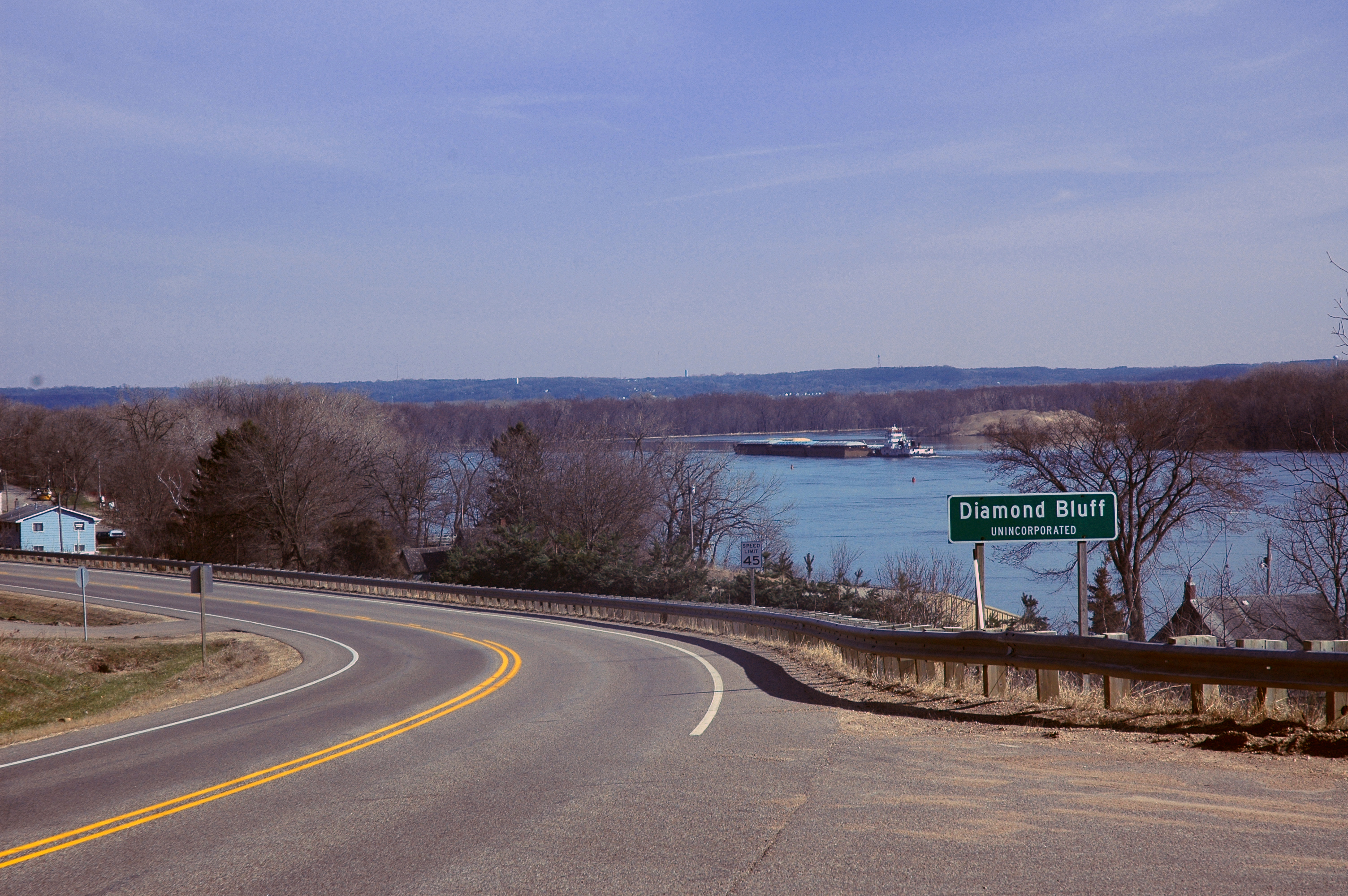
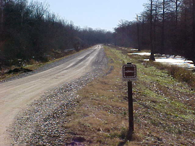
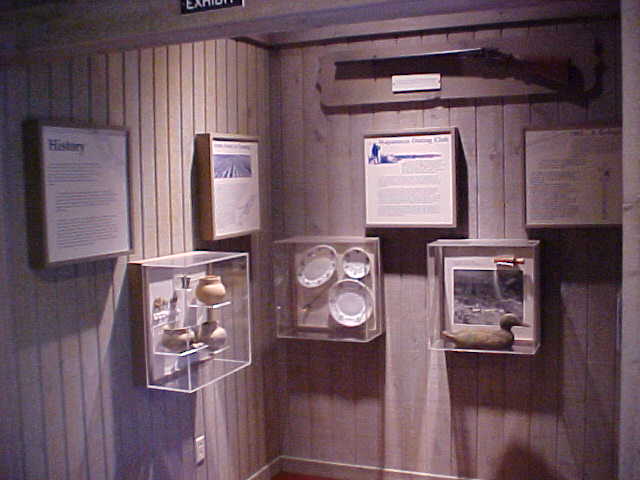
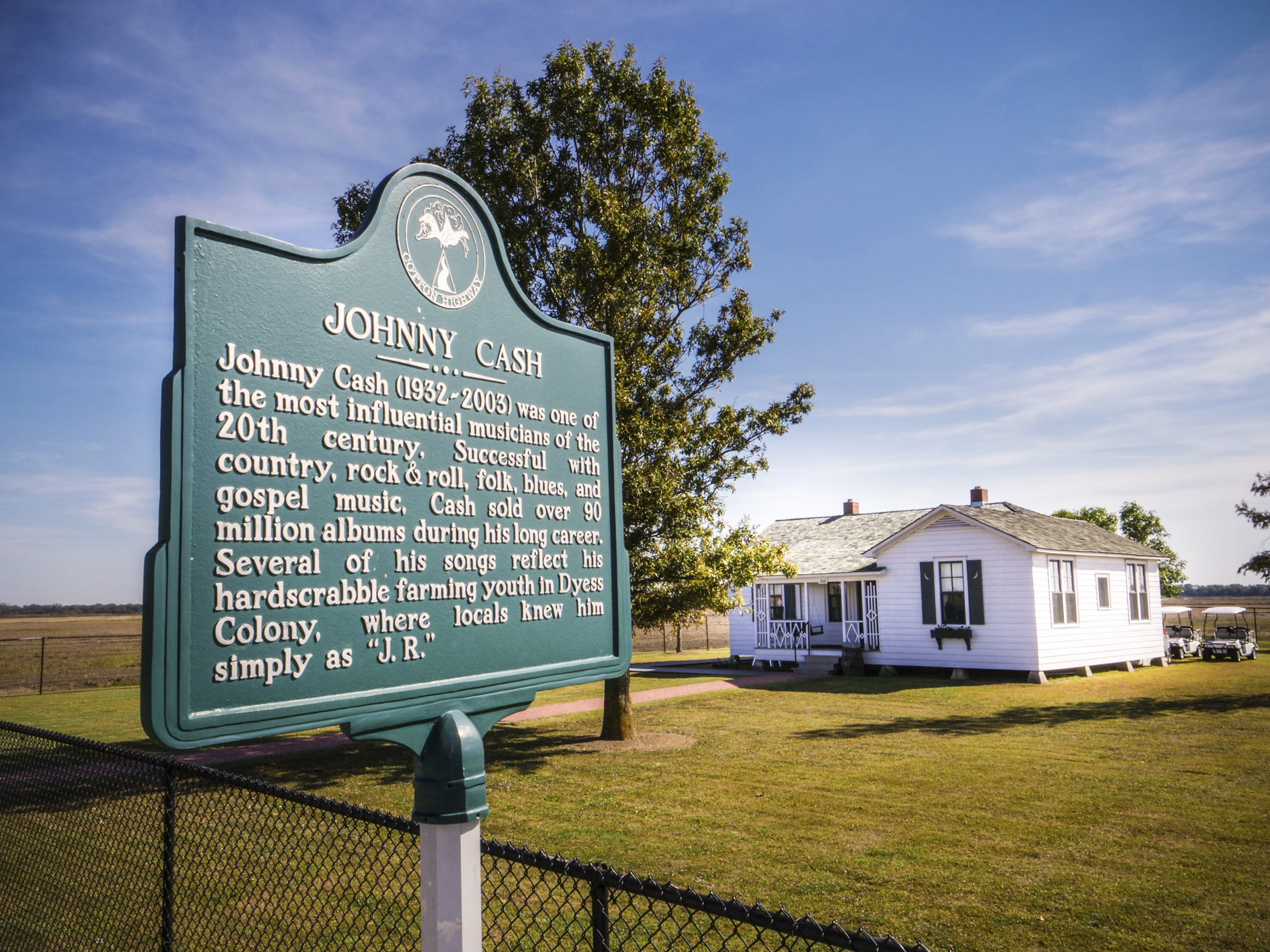
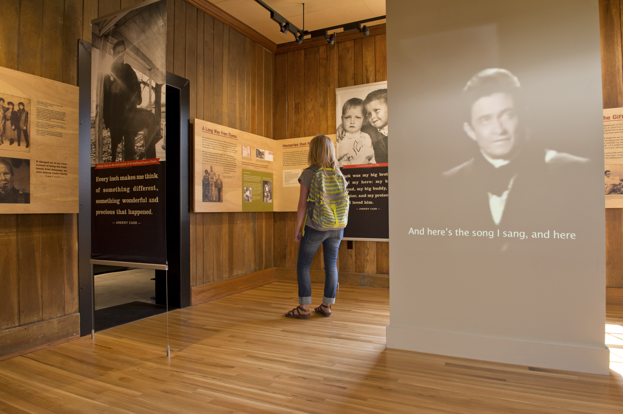
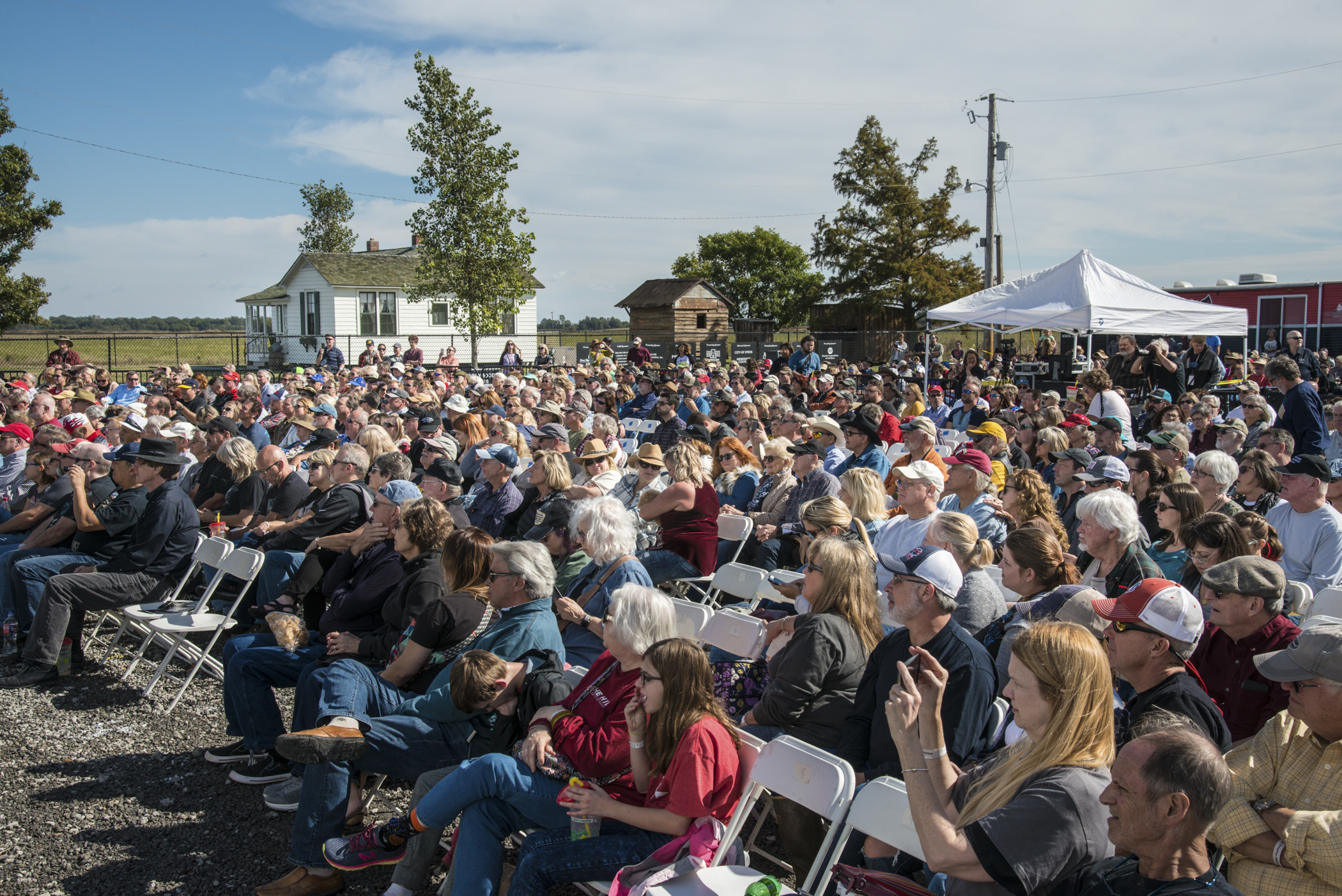
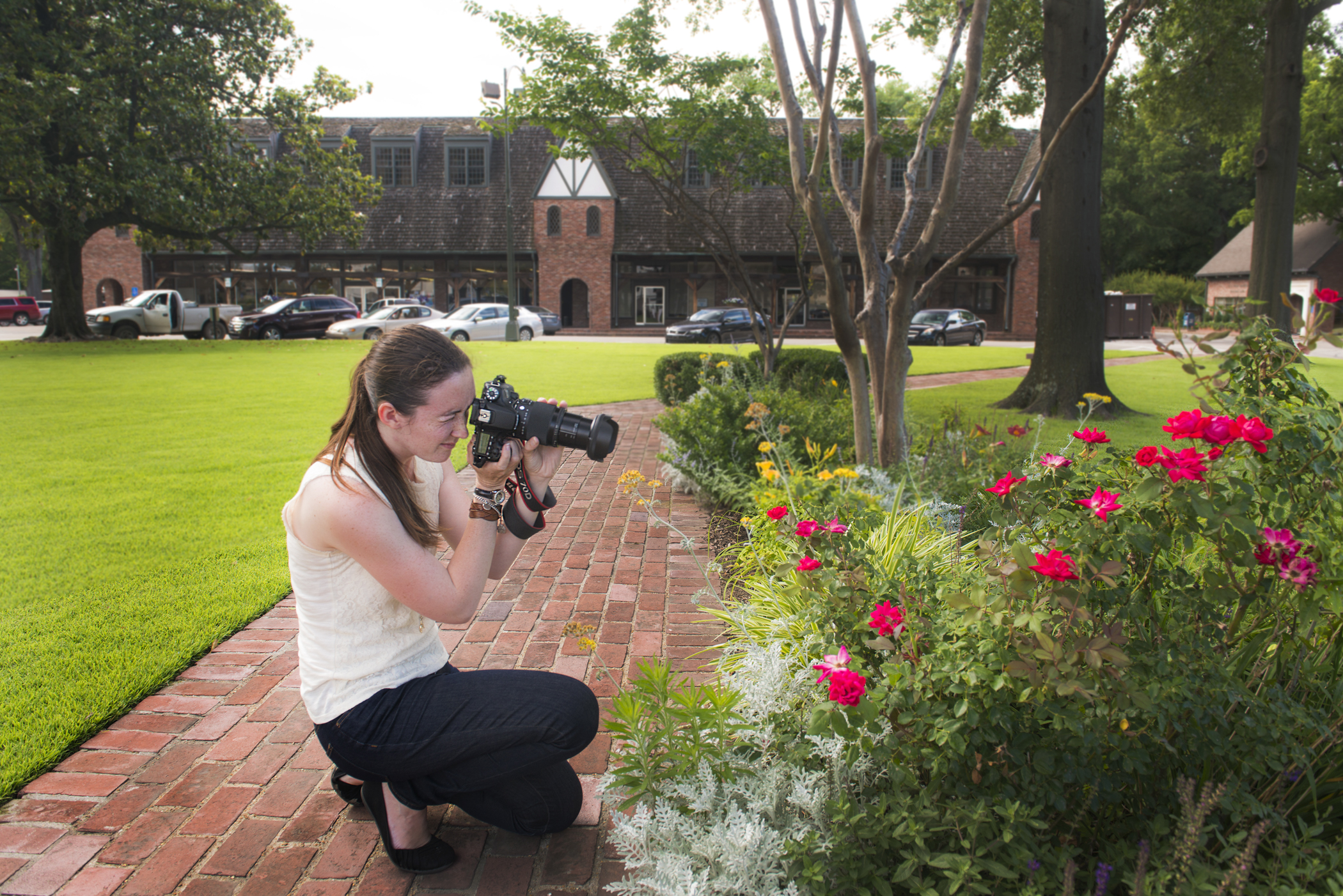
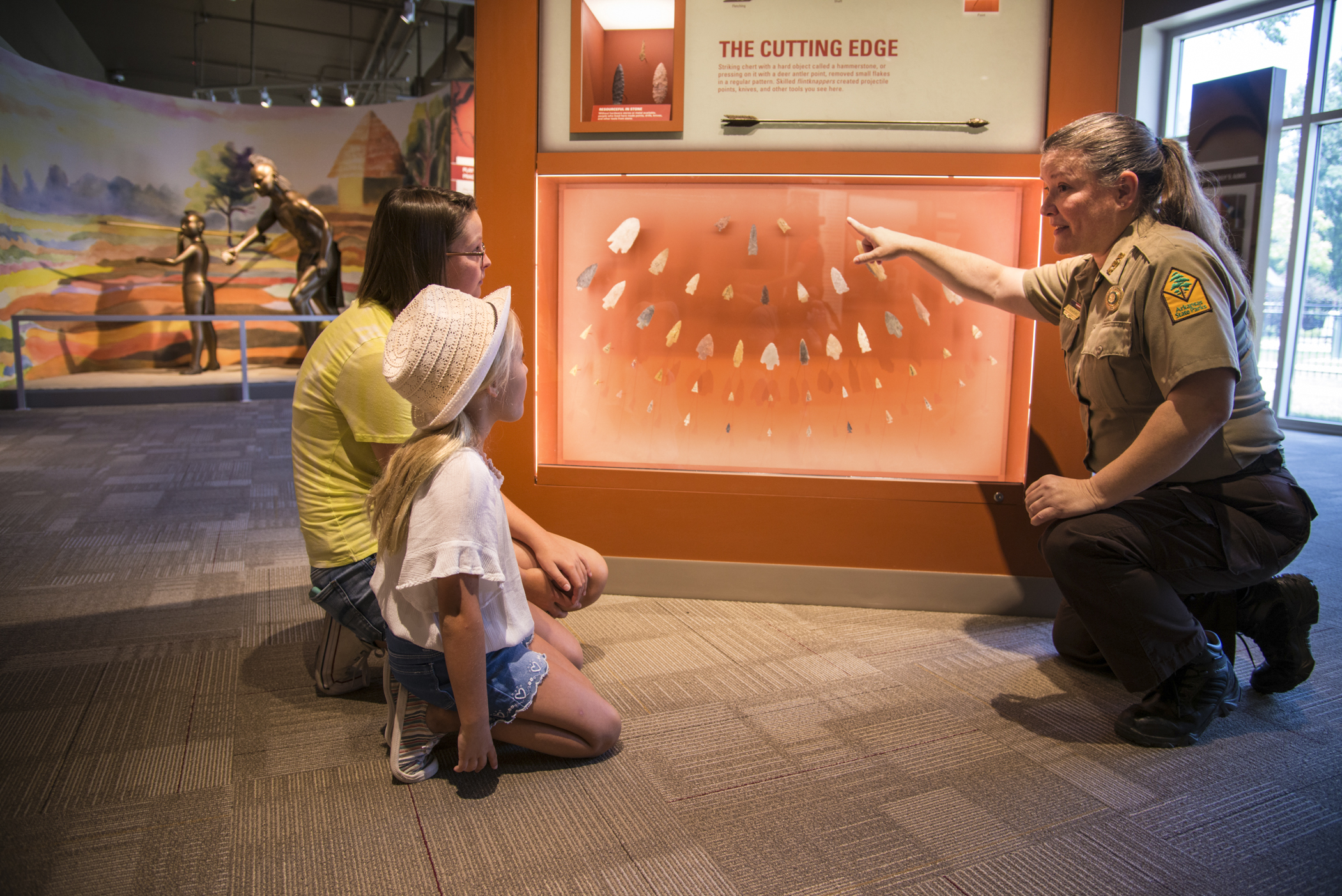
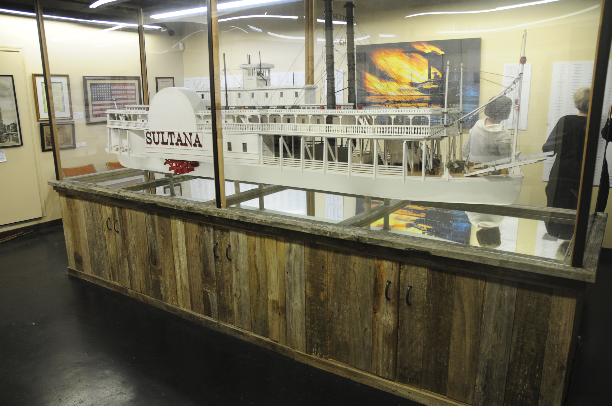
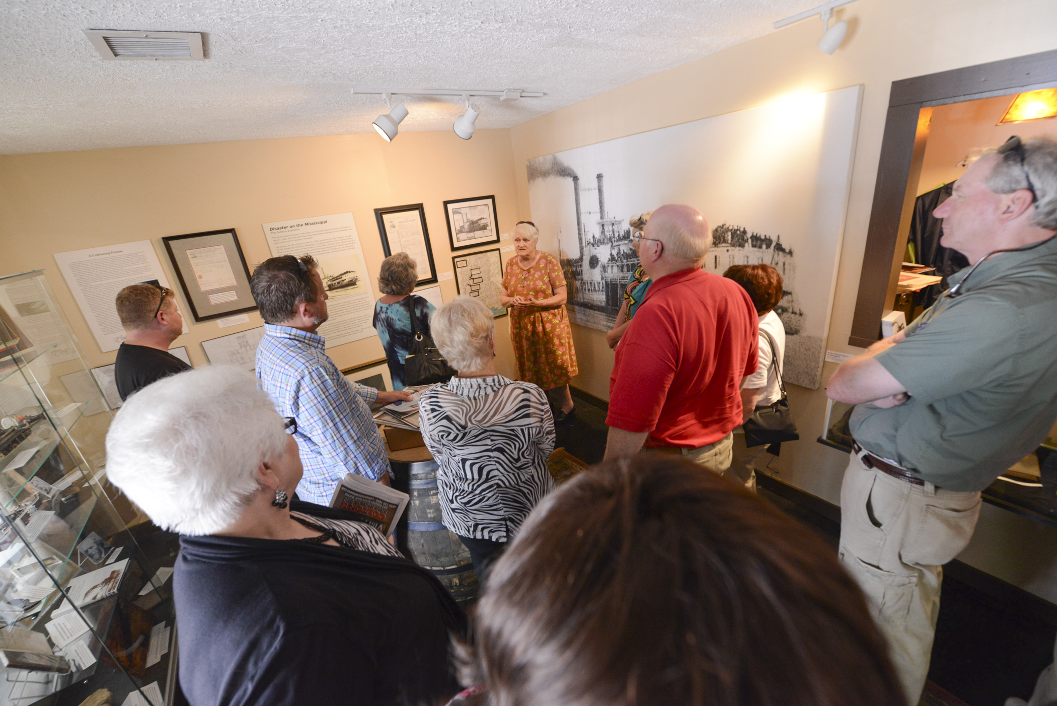
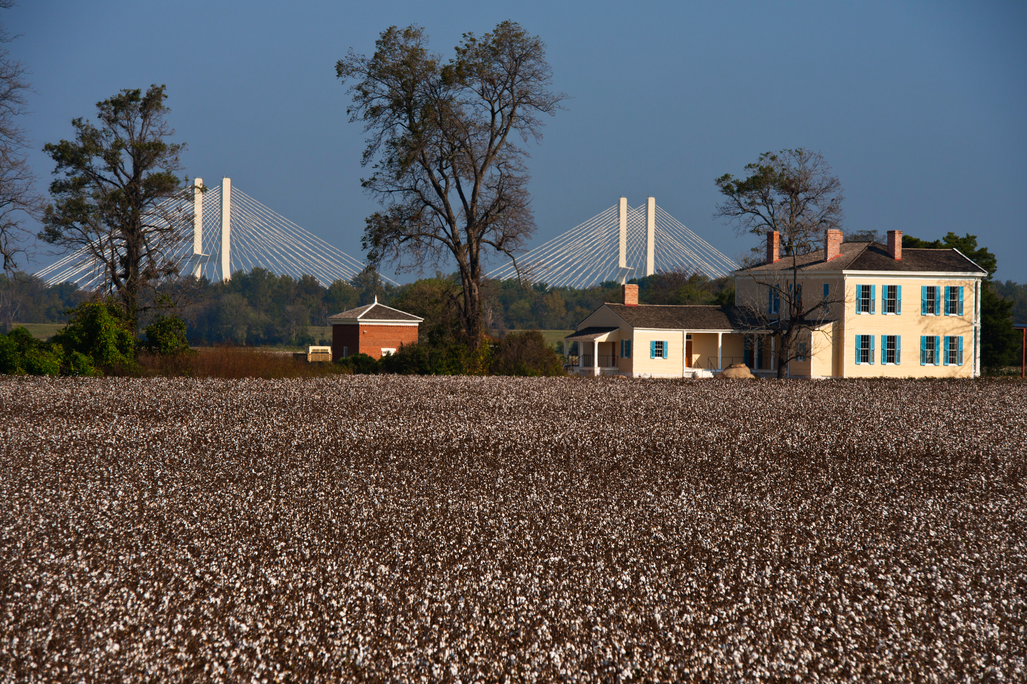
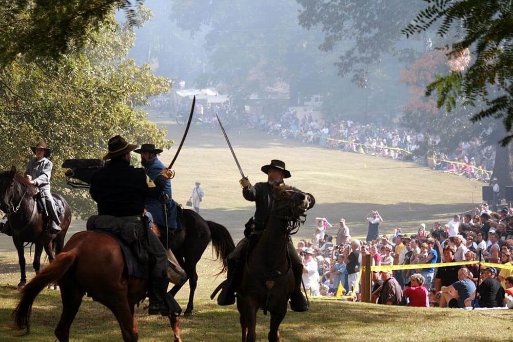
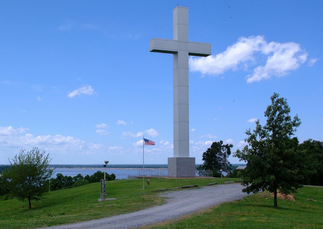
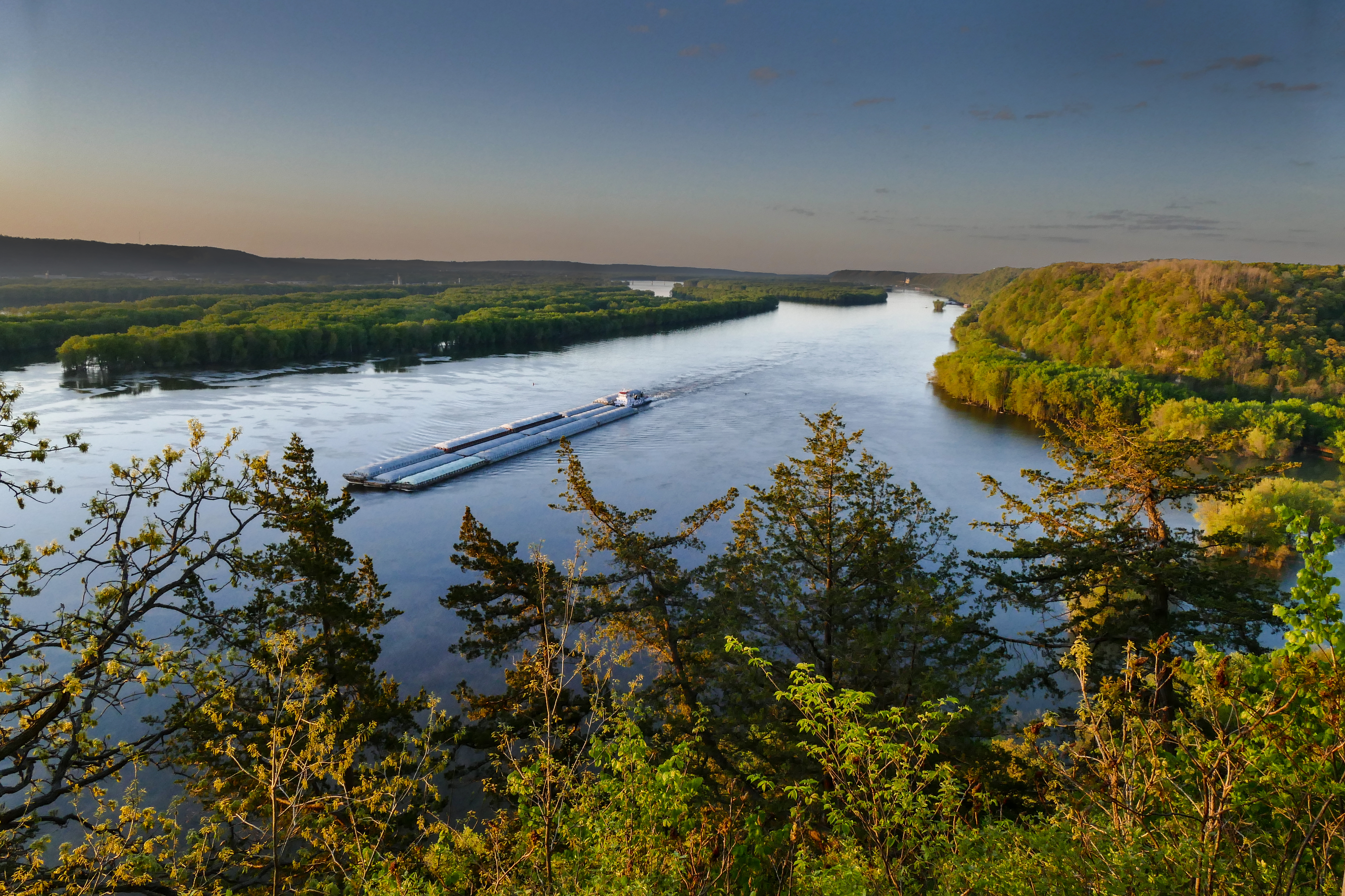
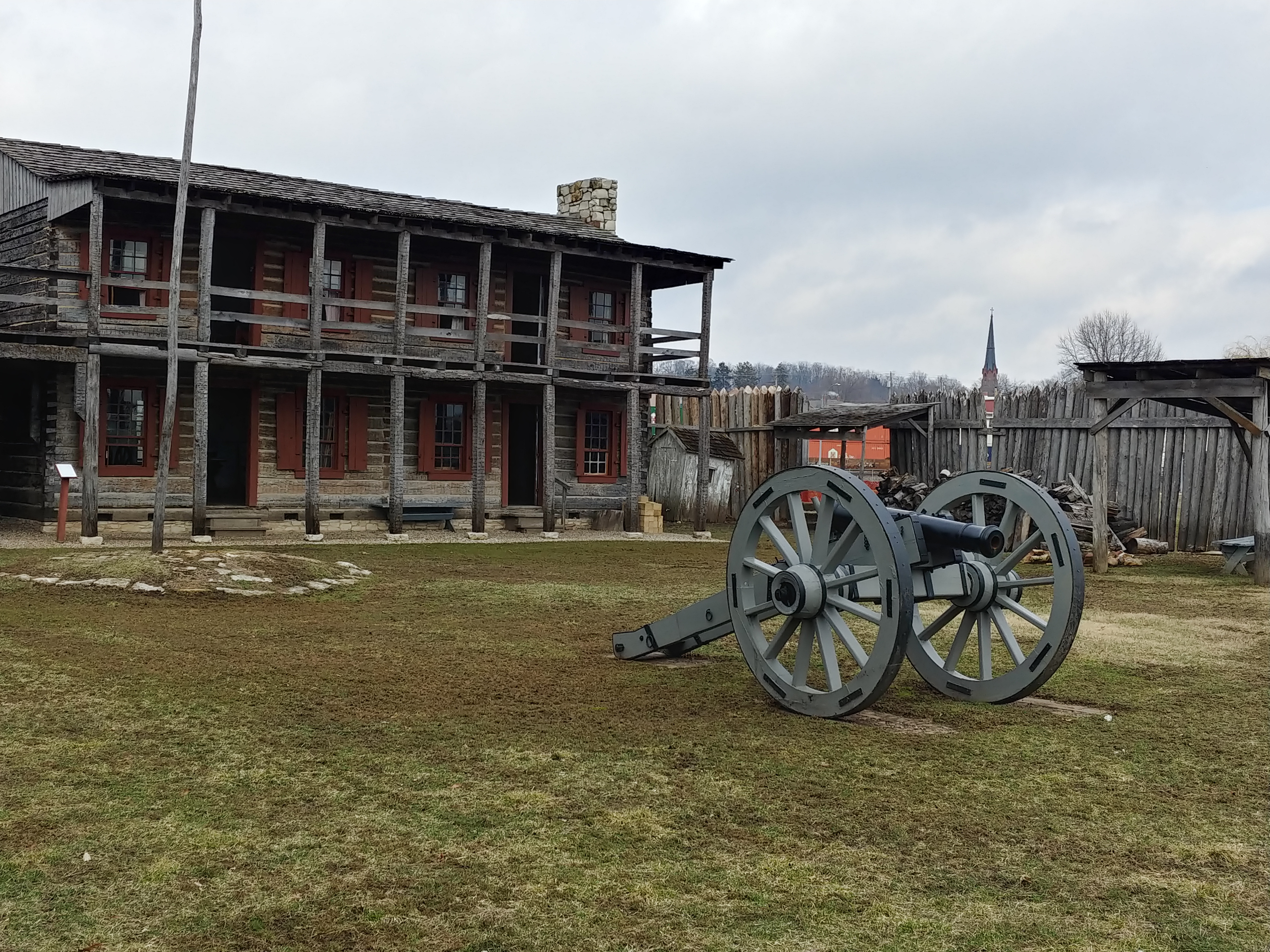
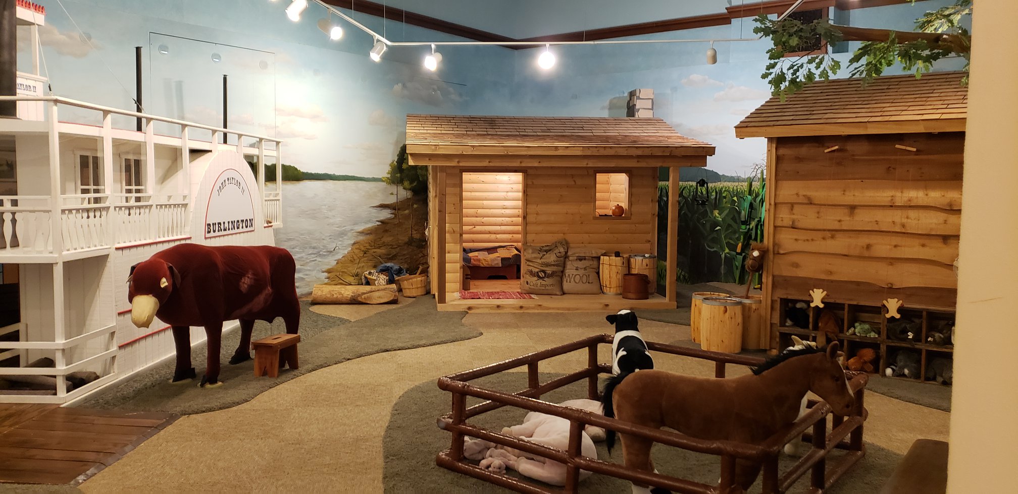
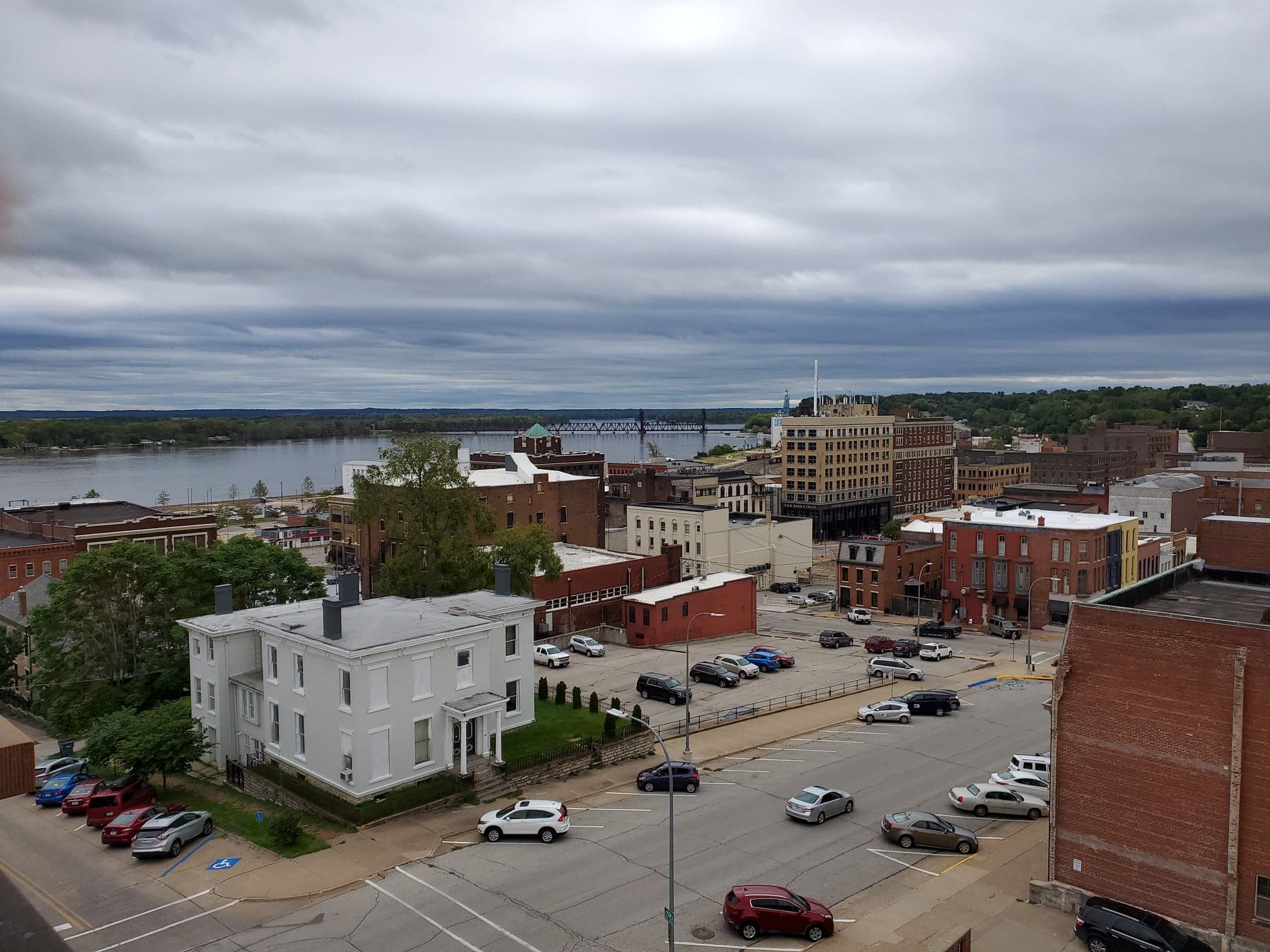
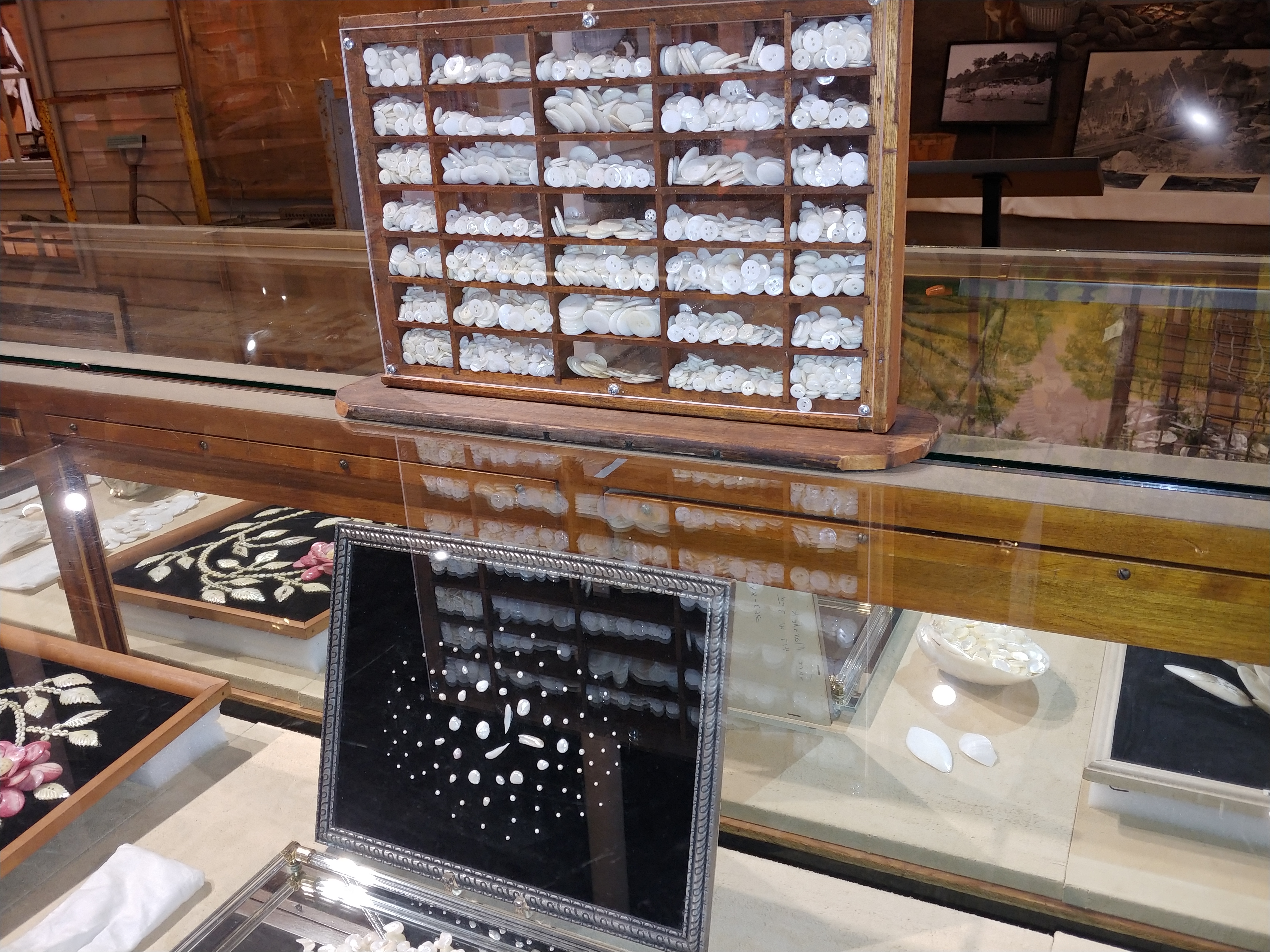
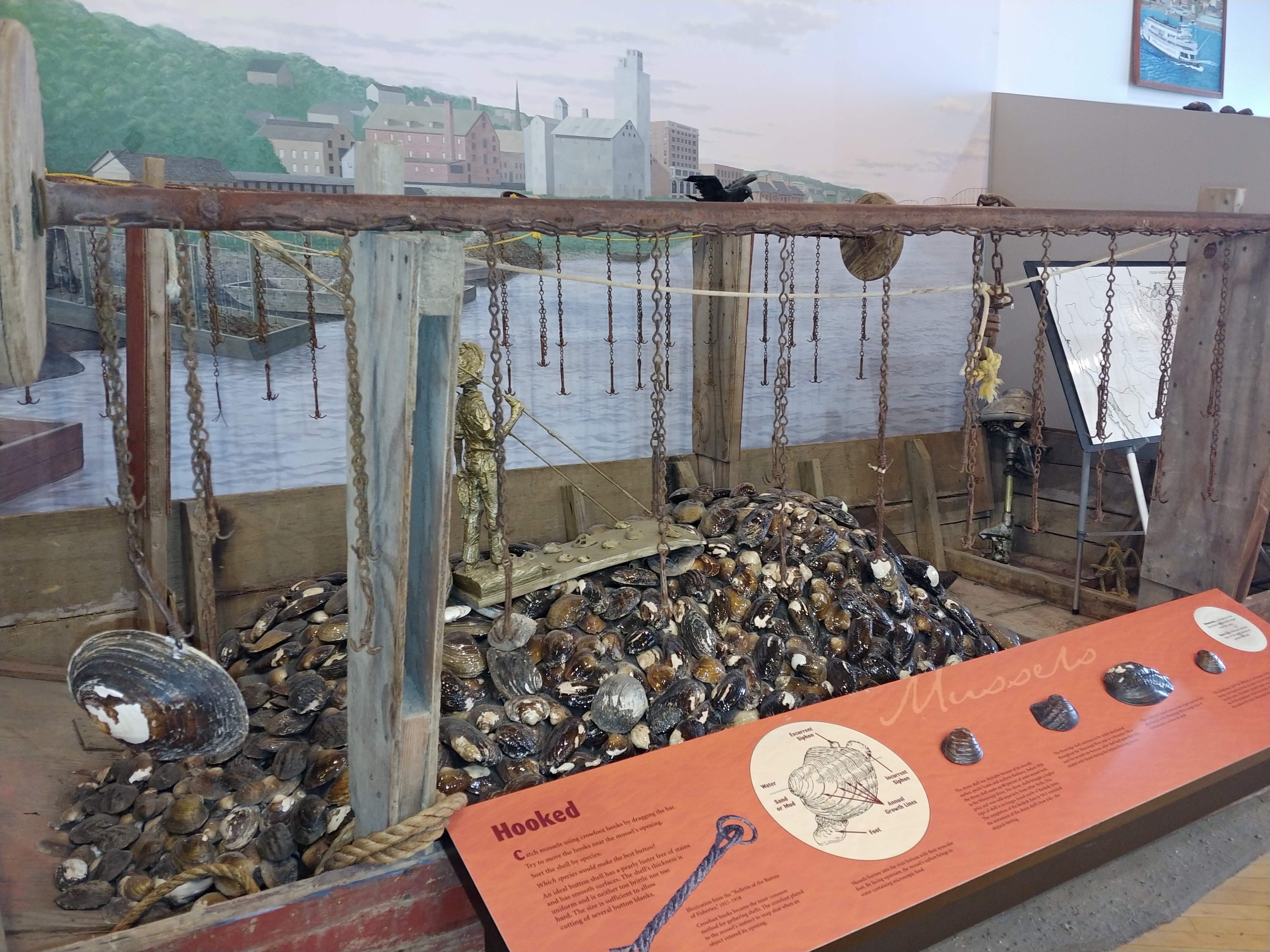
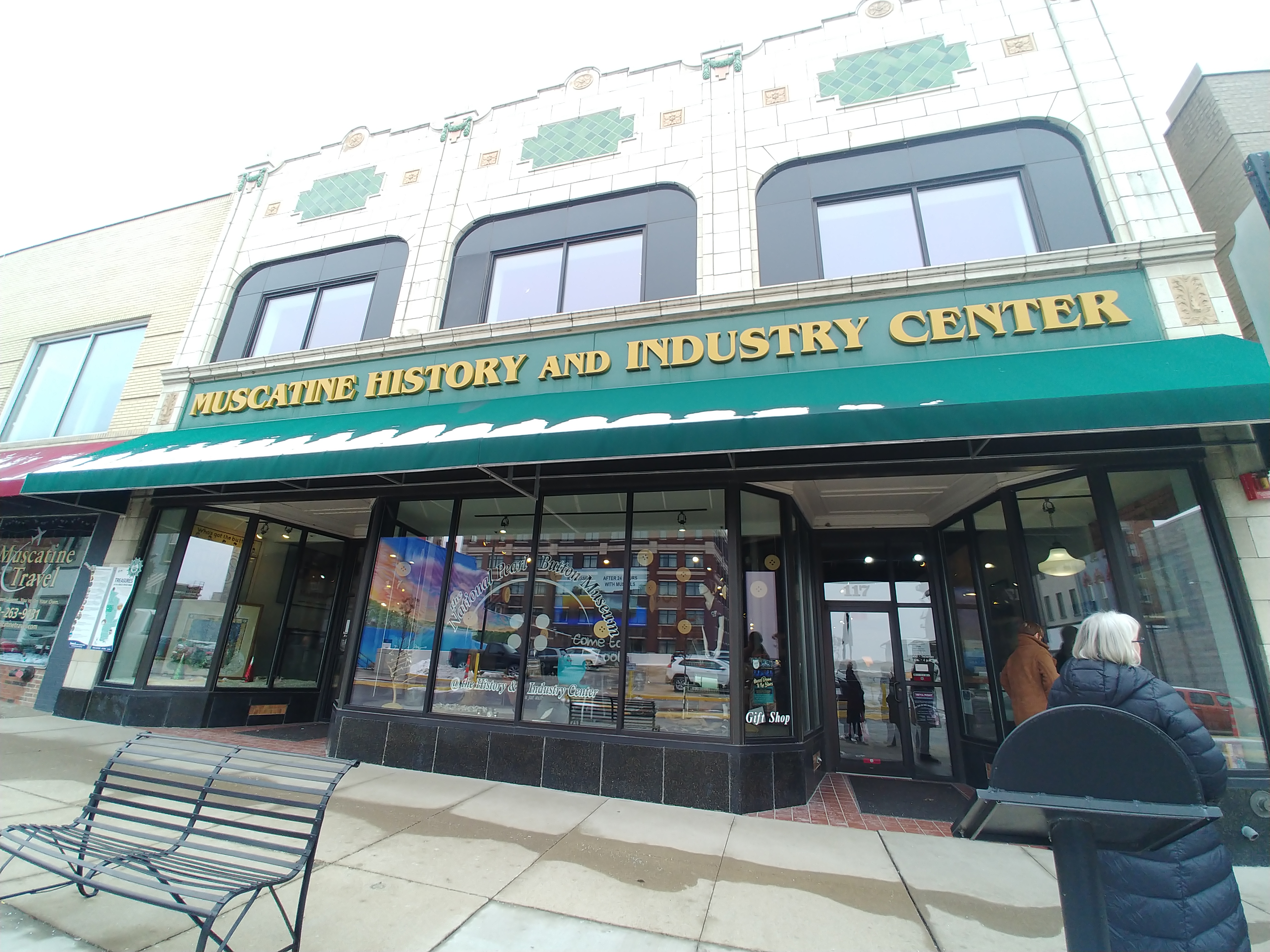
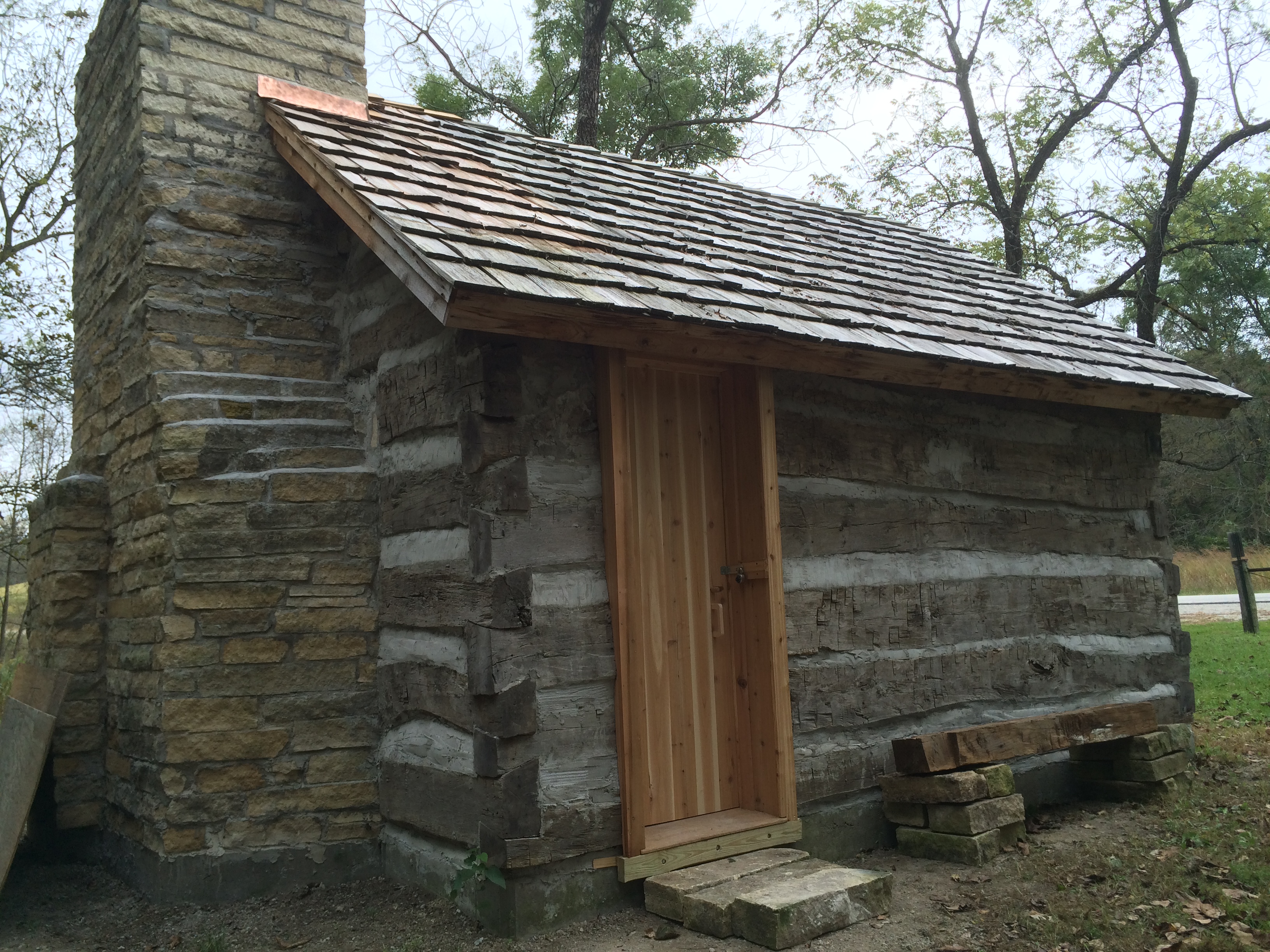
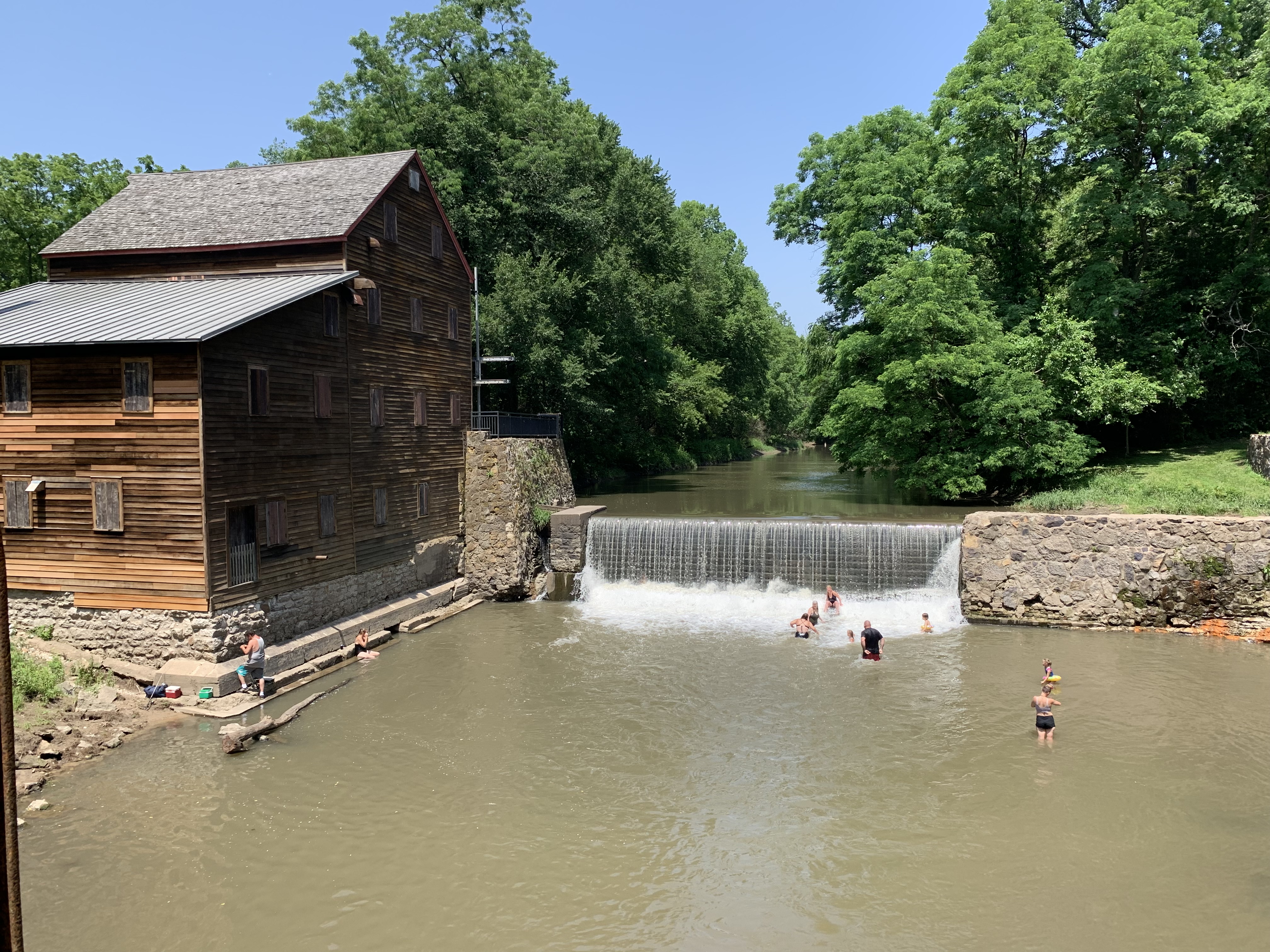
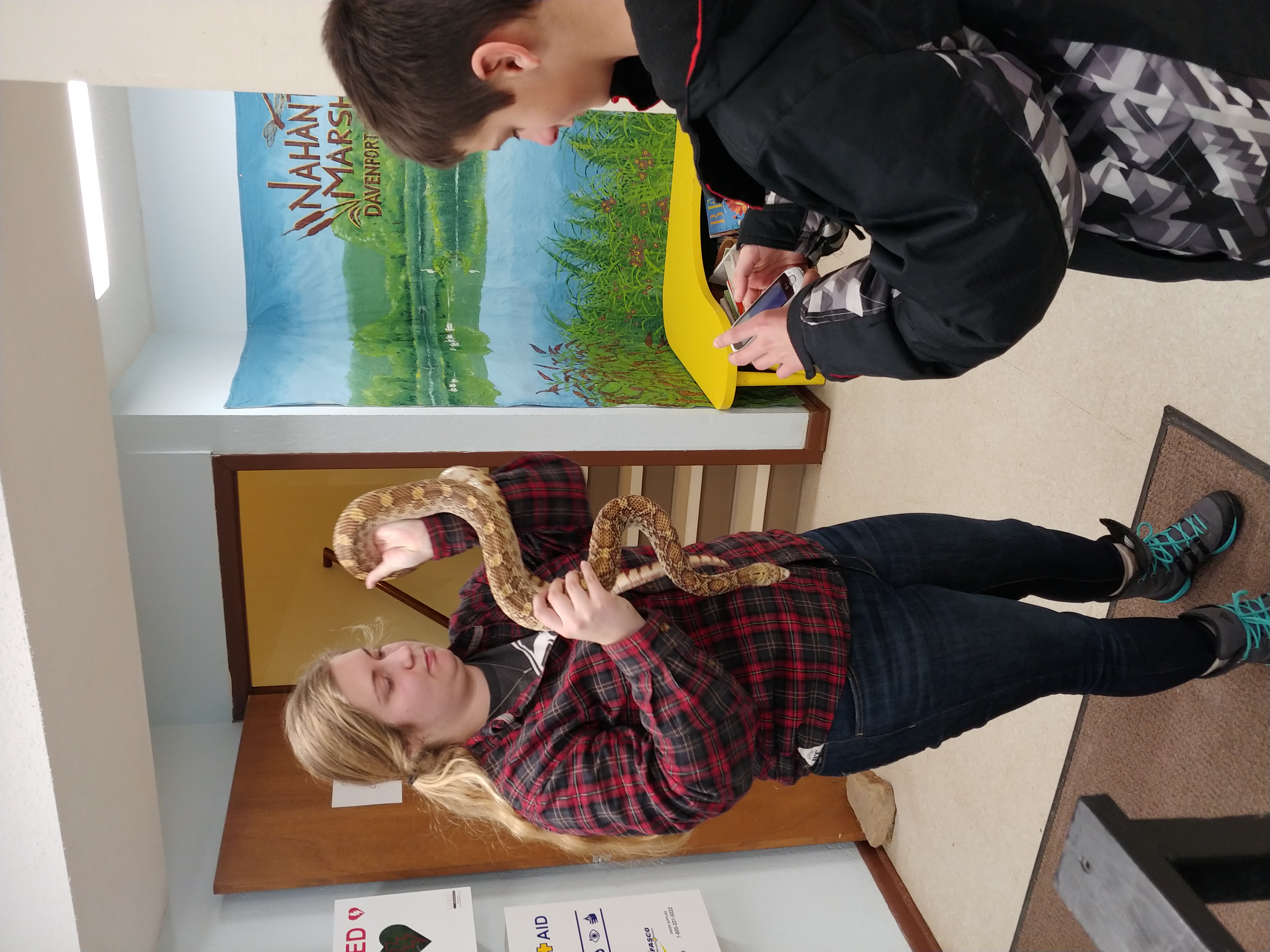
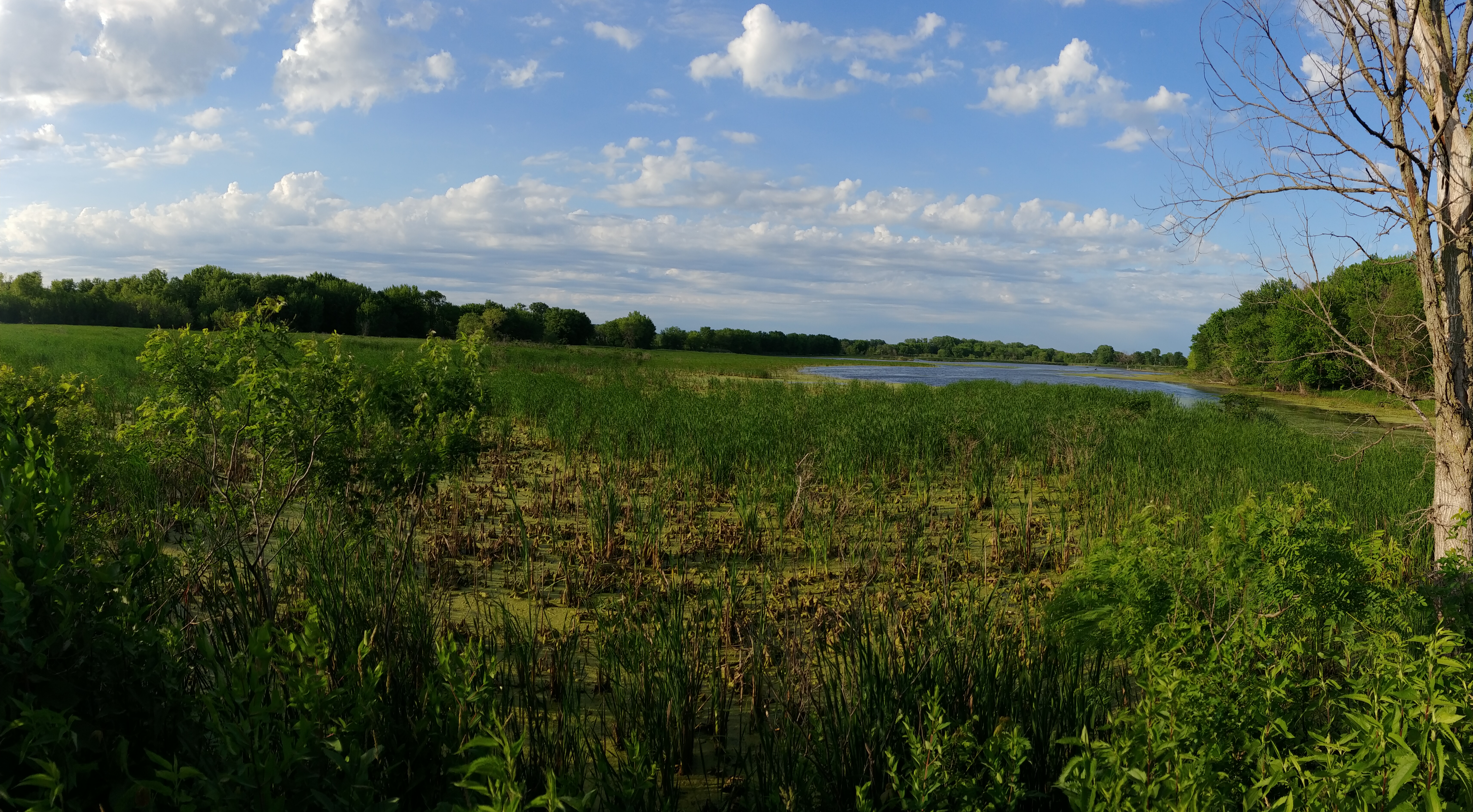
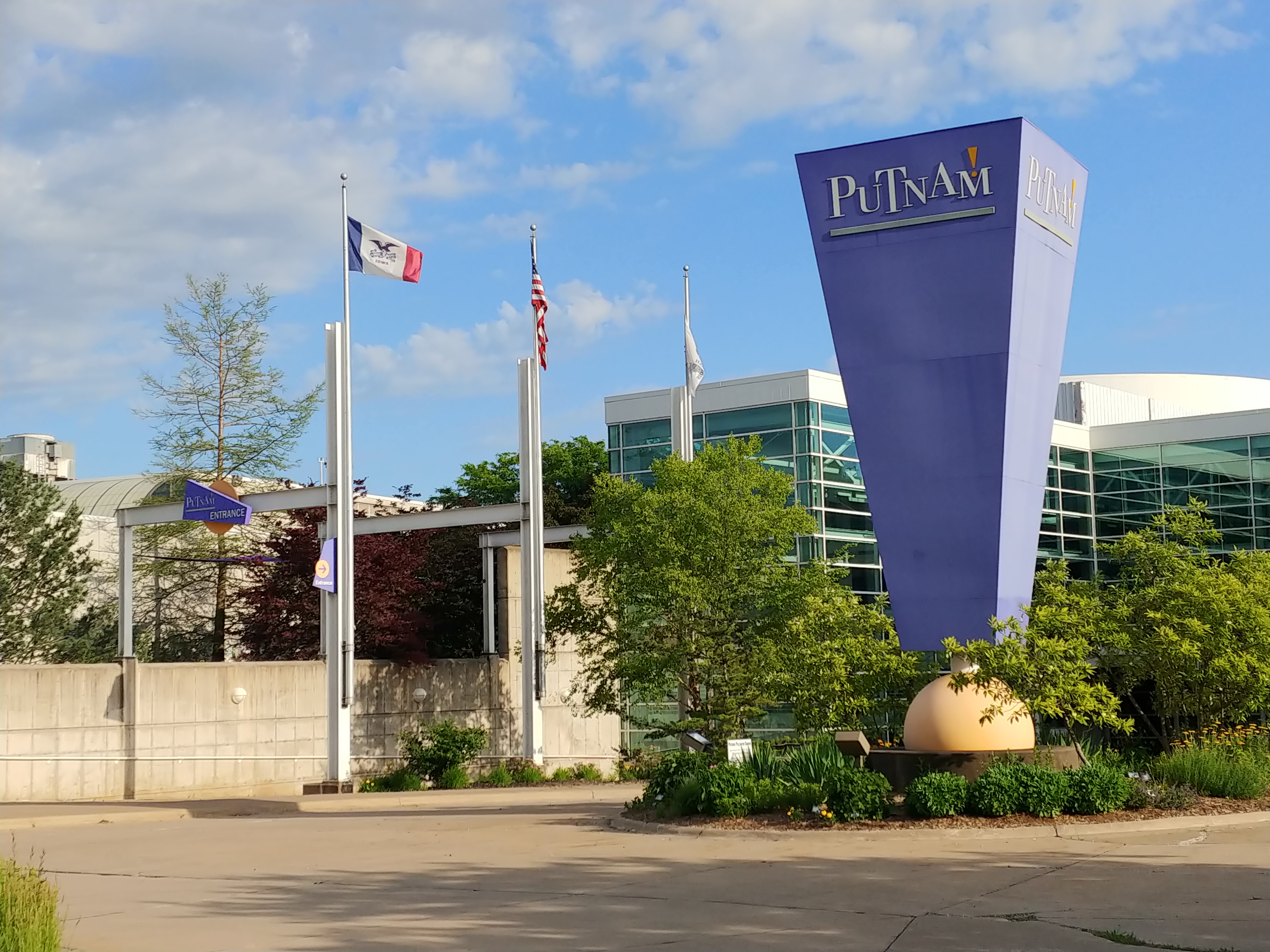
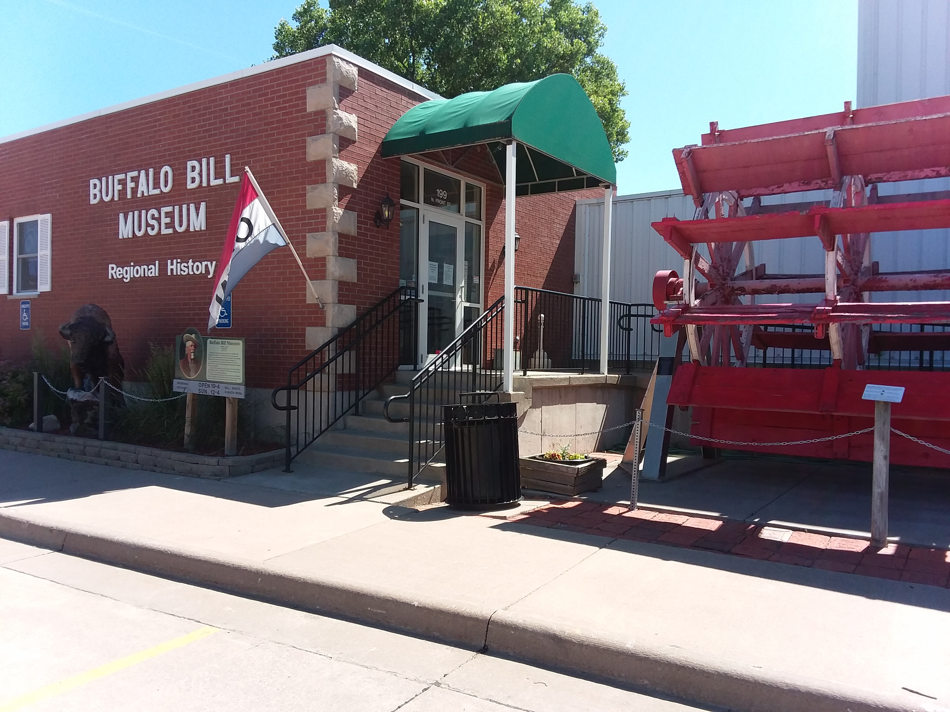
.jpg)
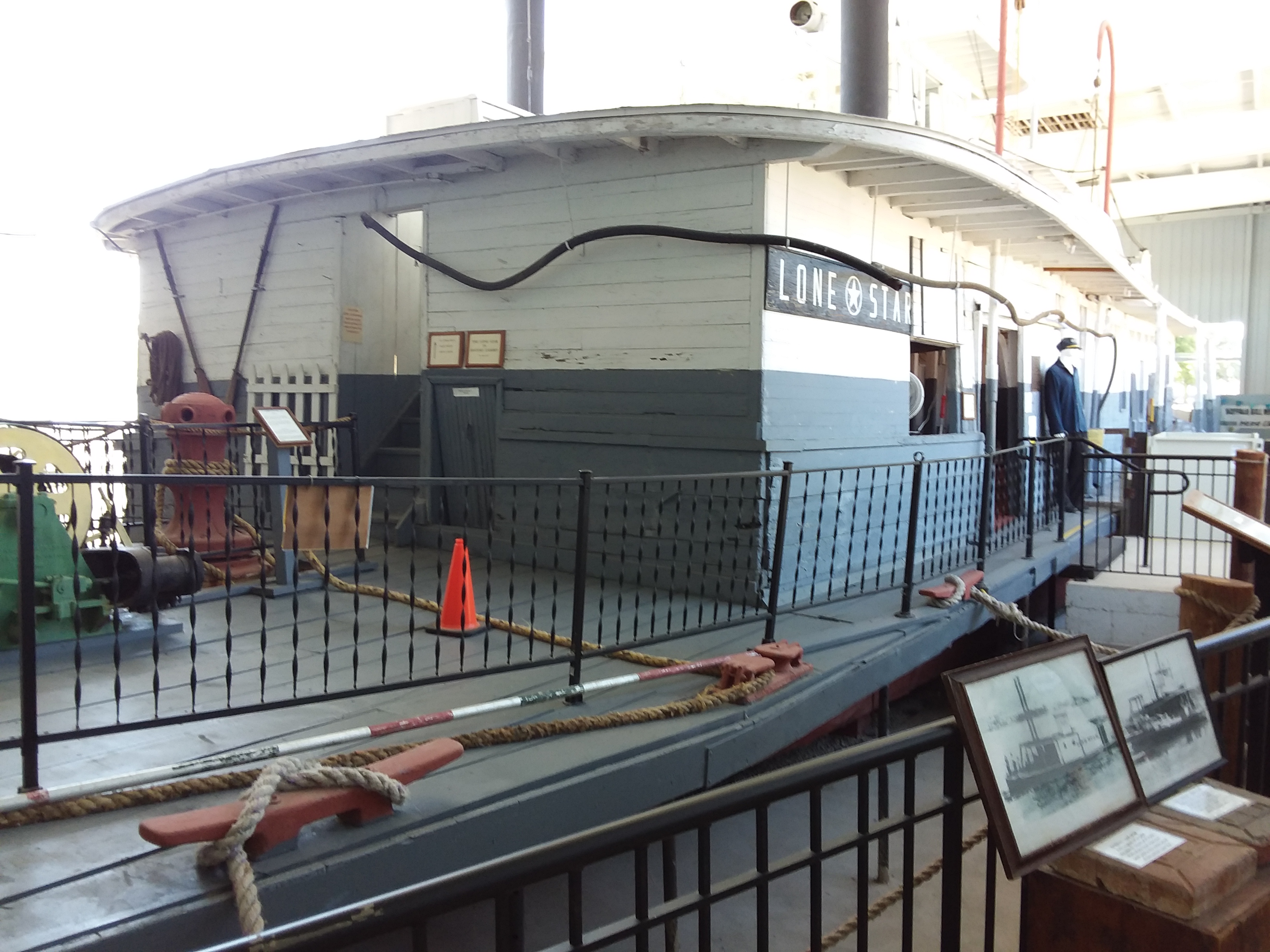
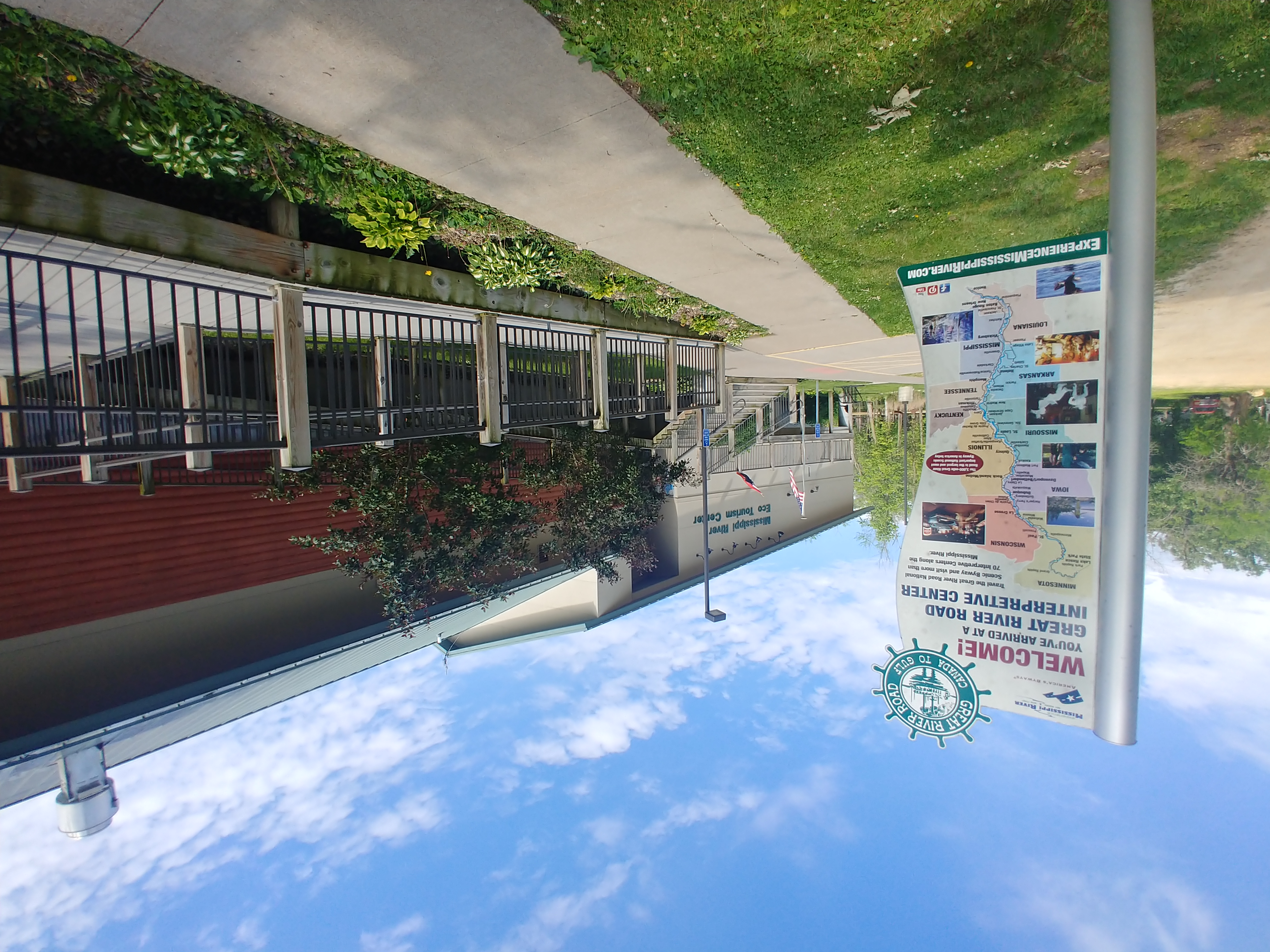
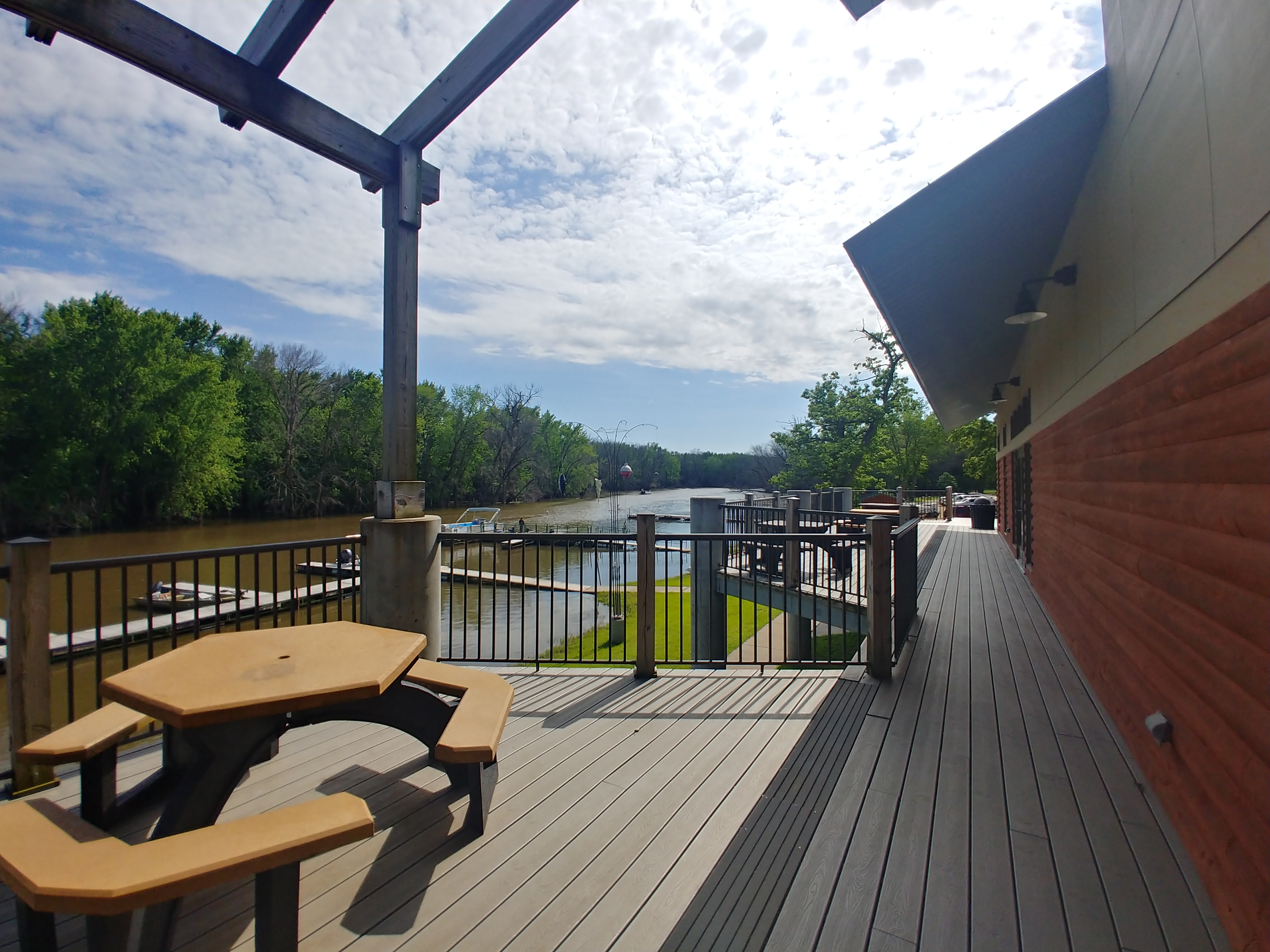
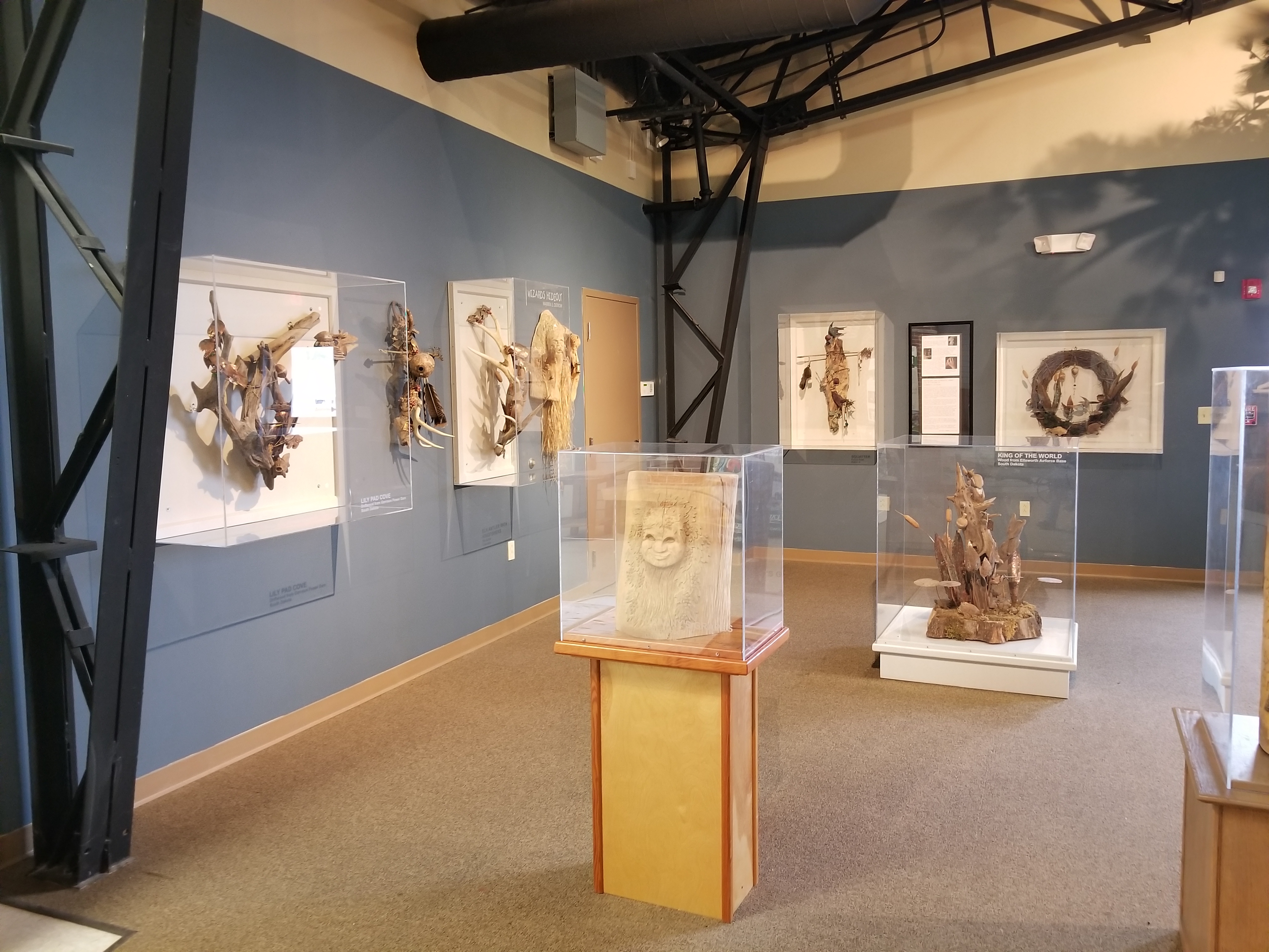
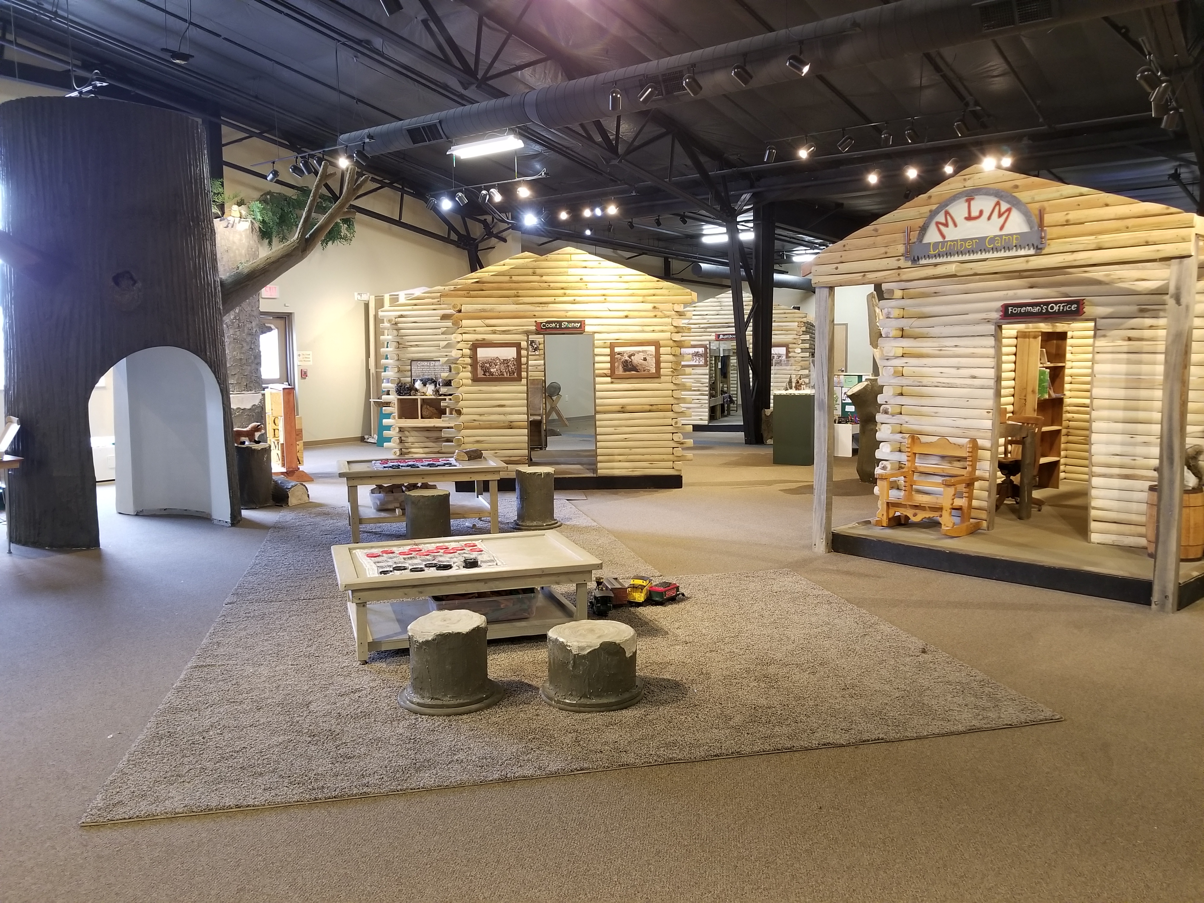
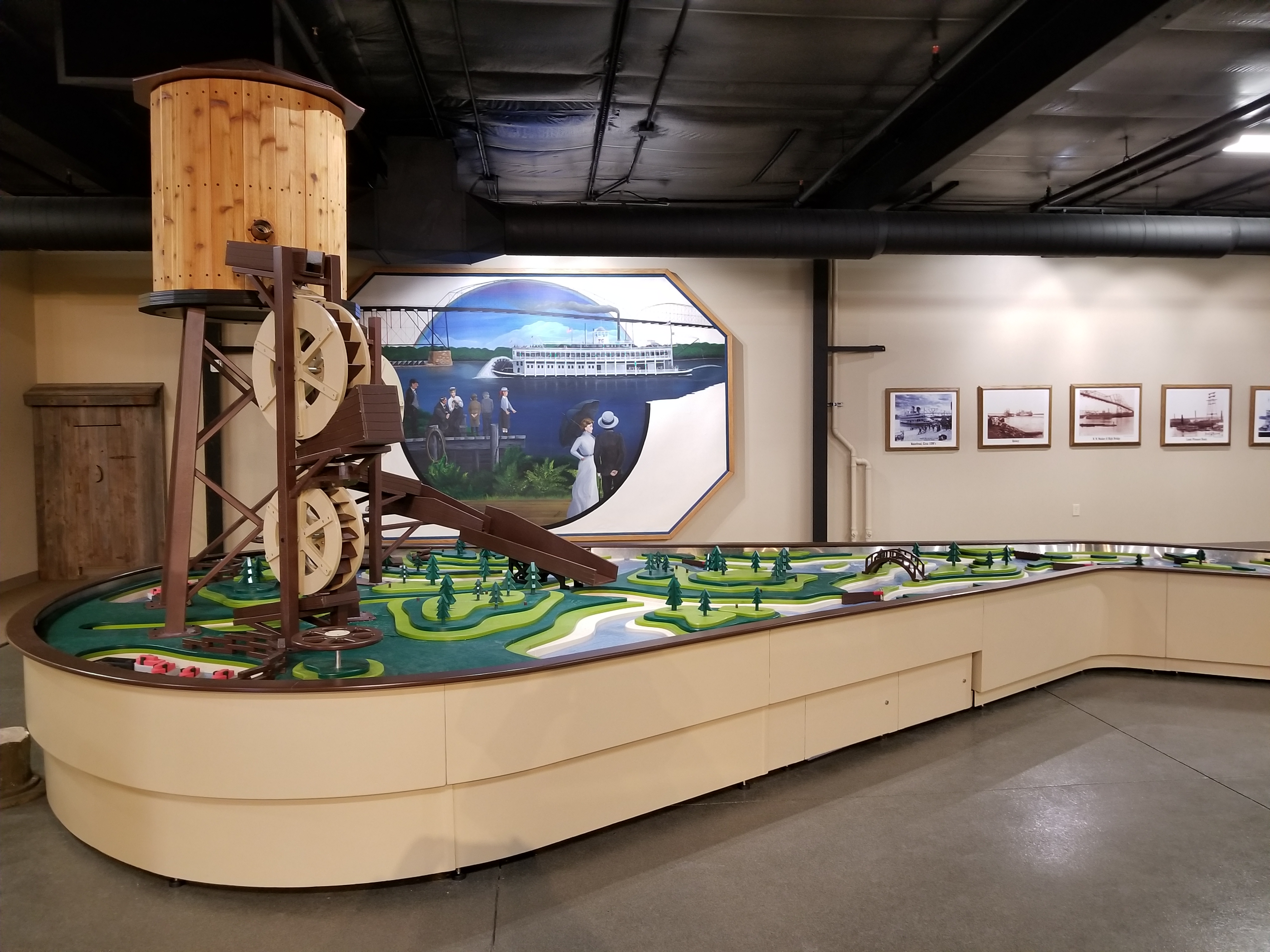
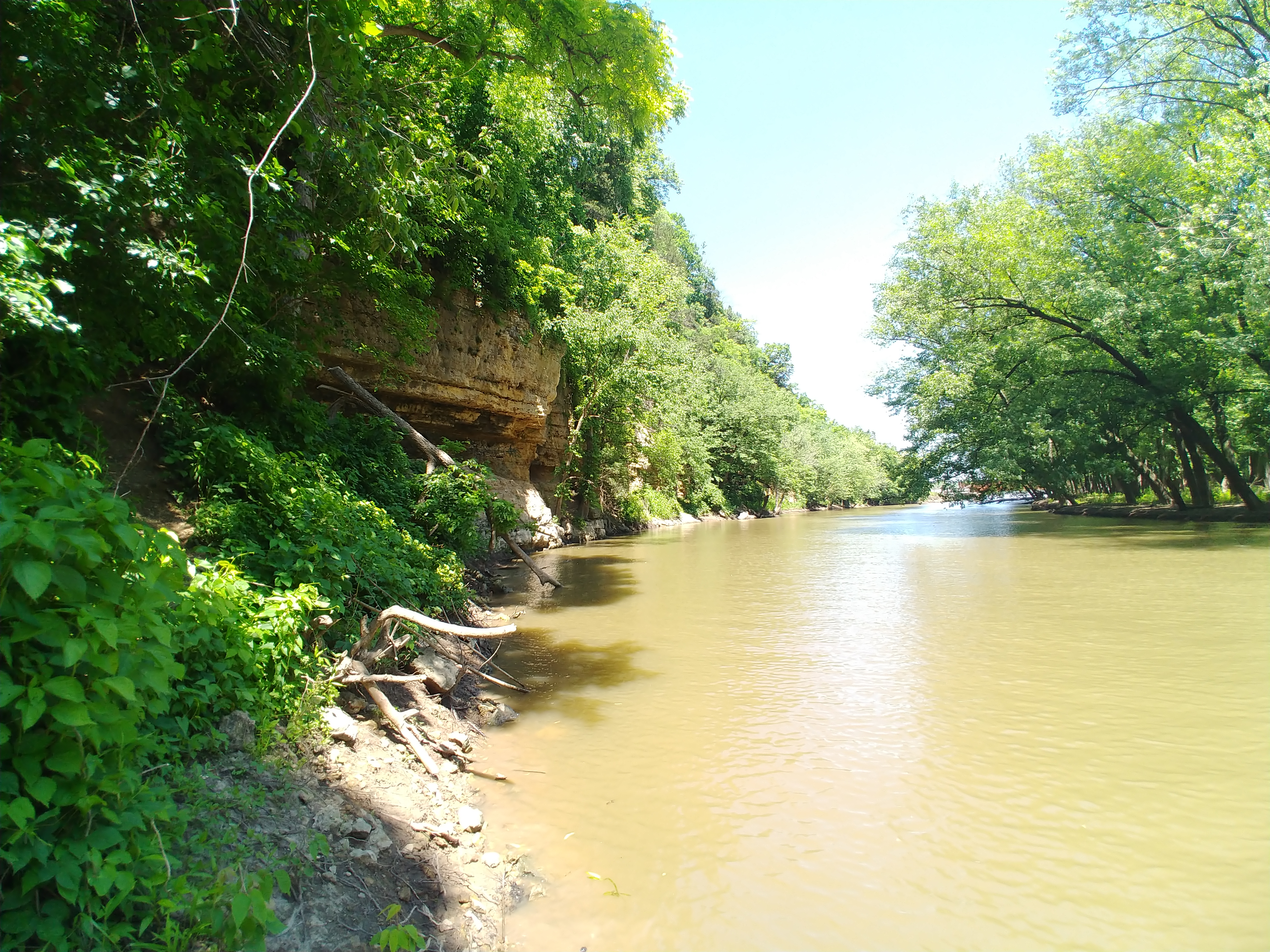
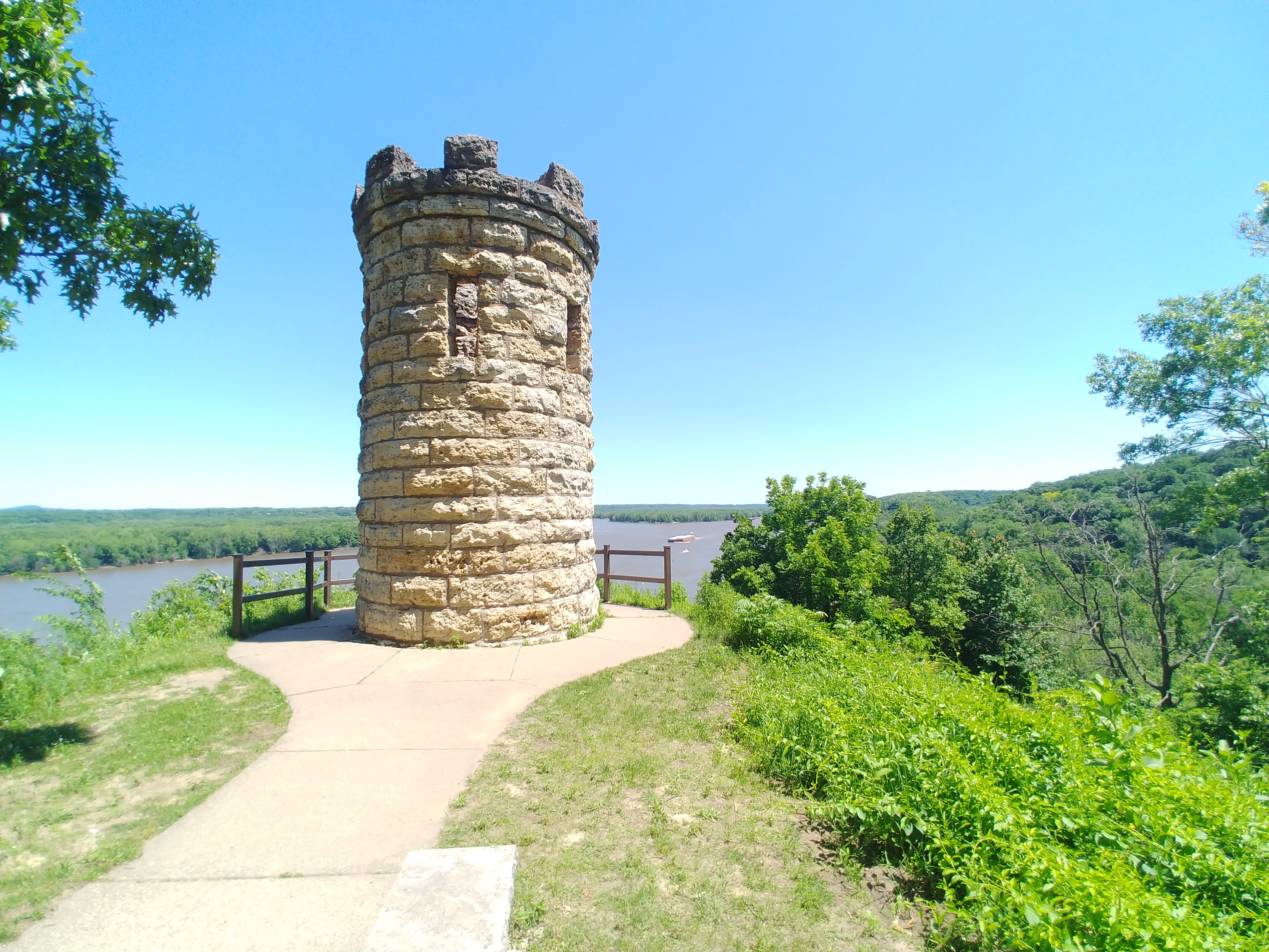
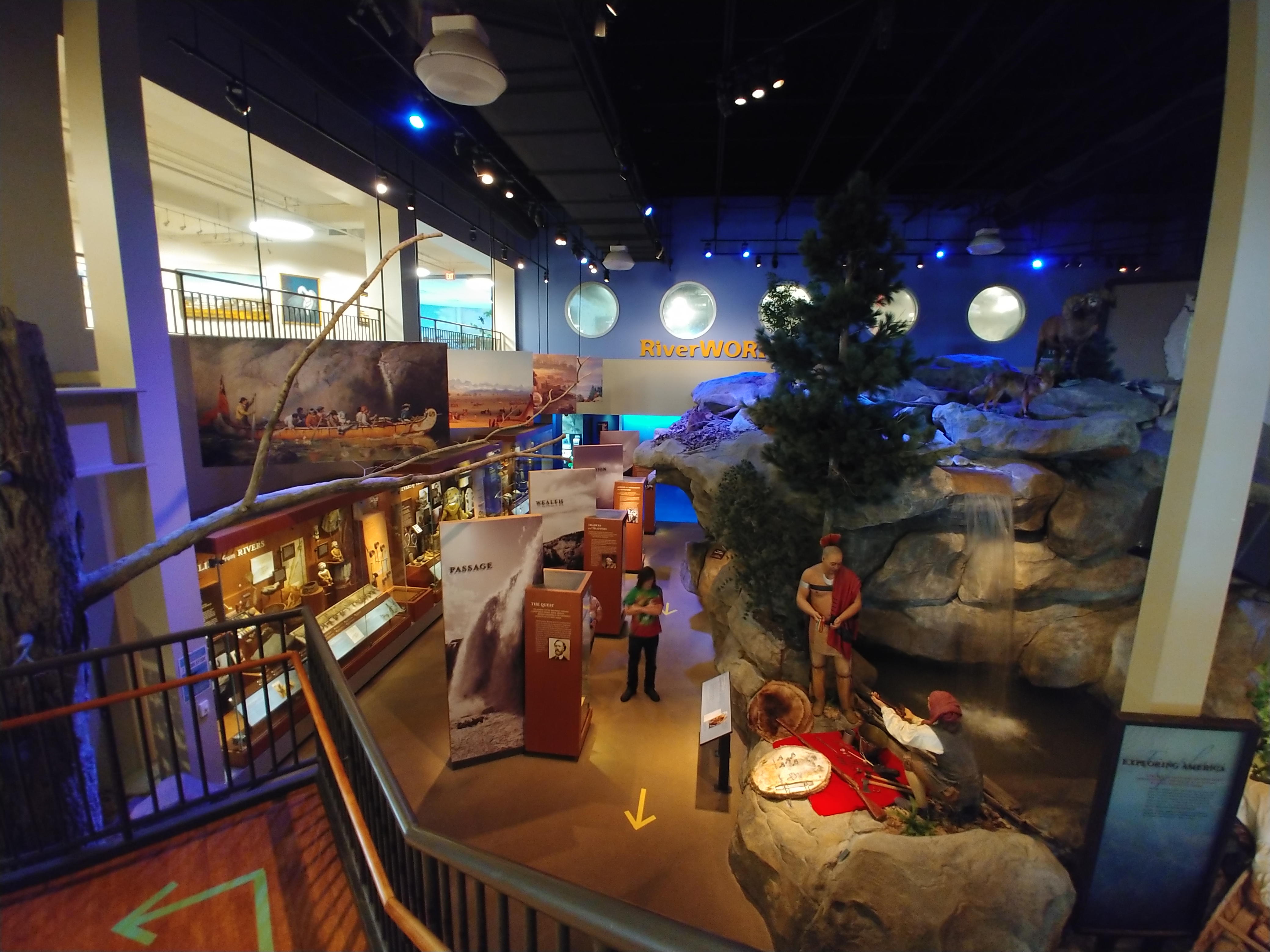
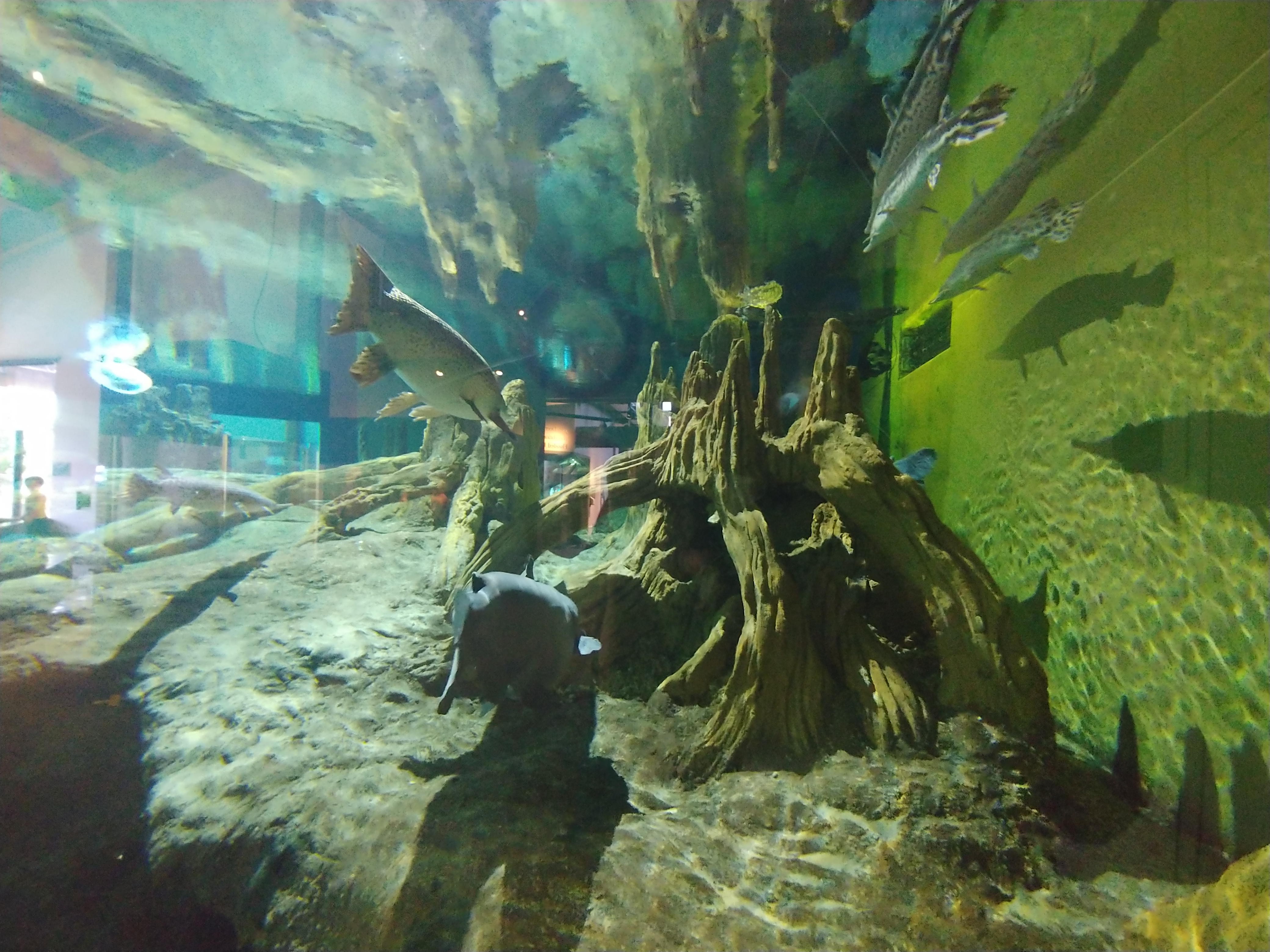
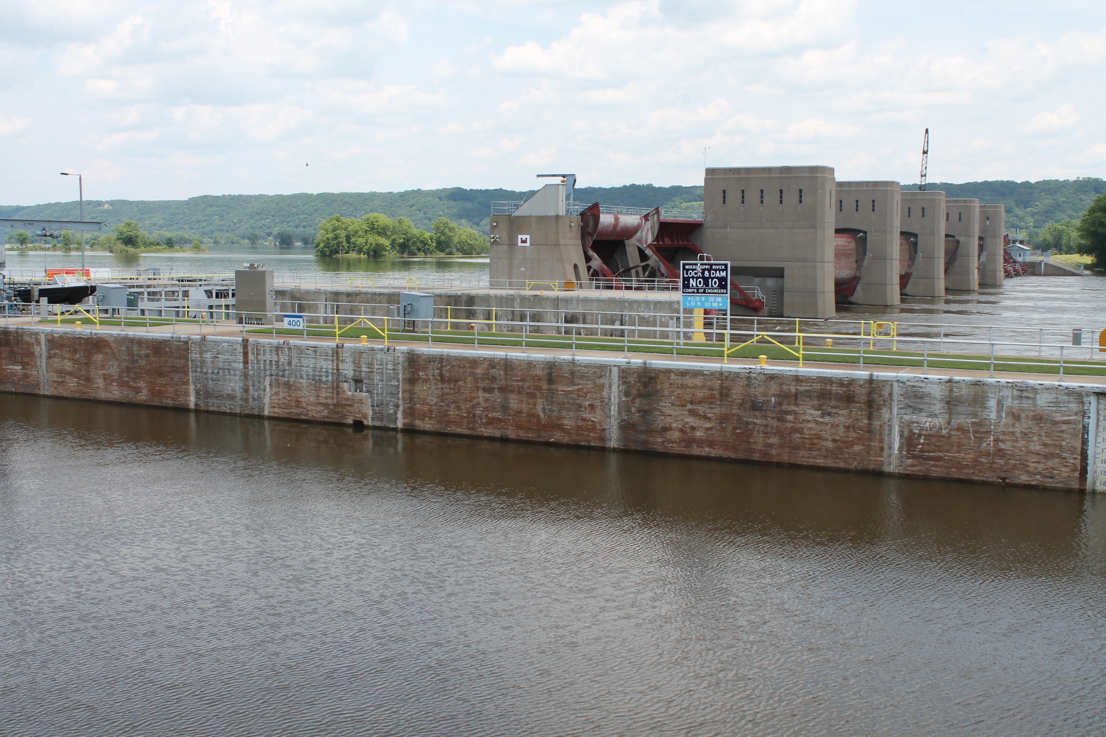
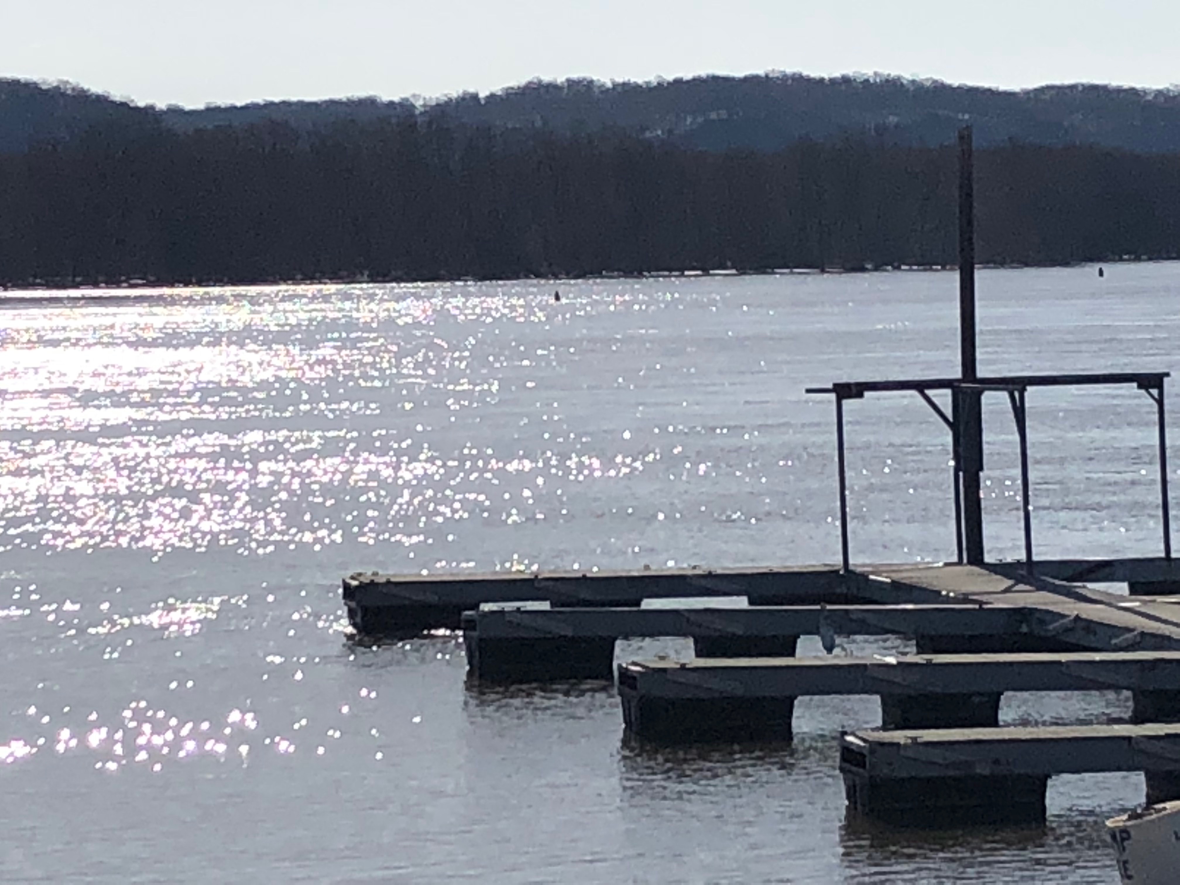
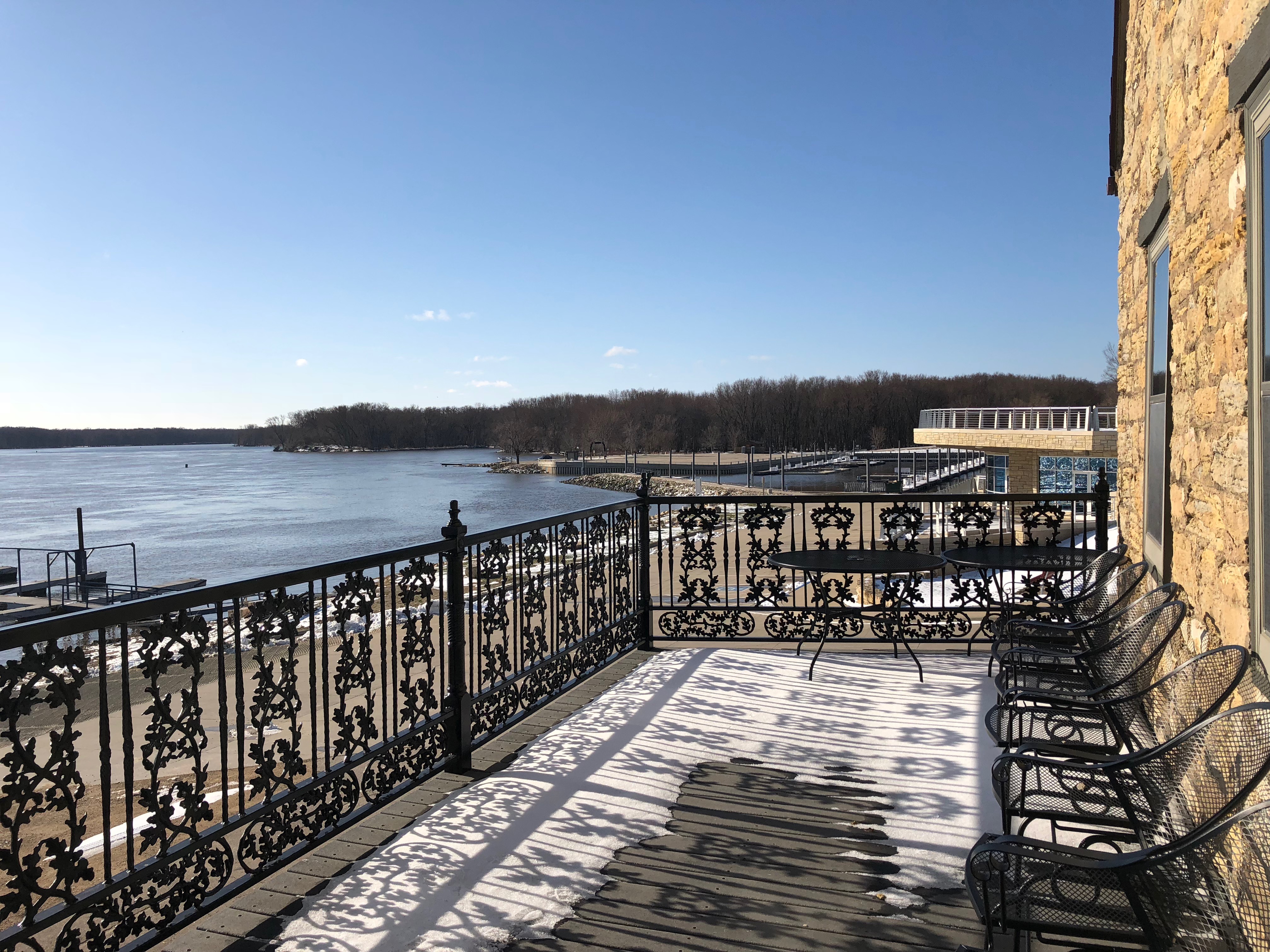
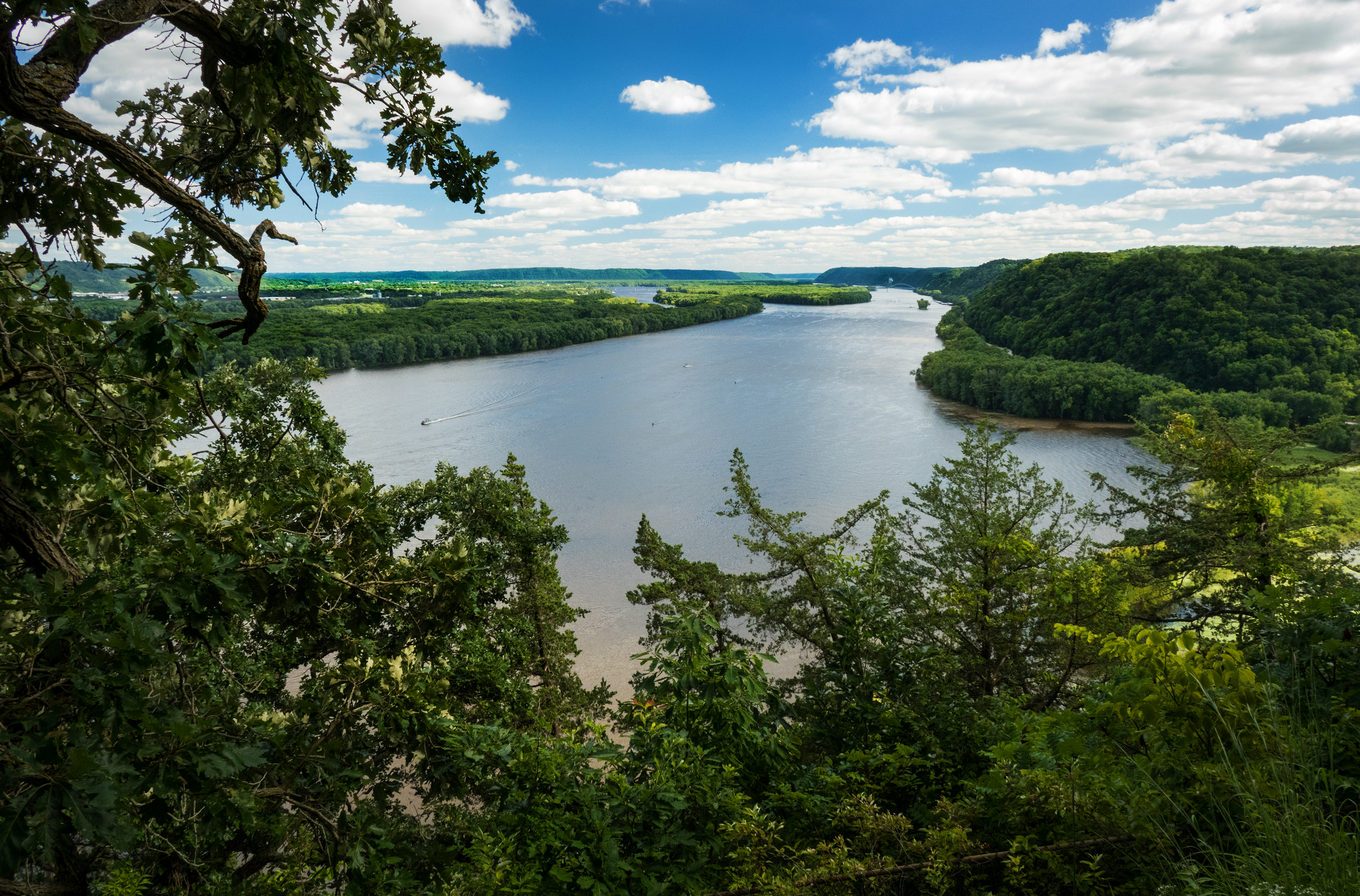
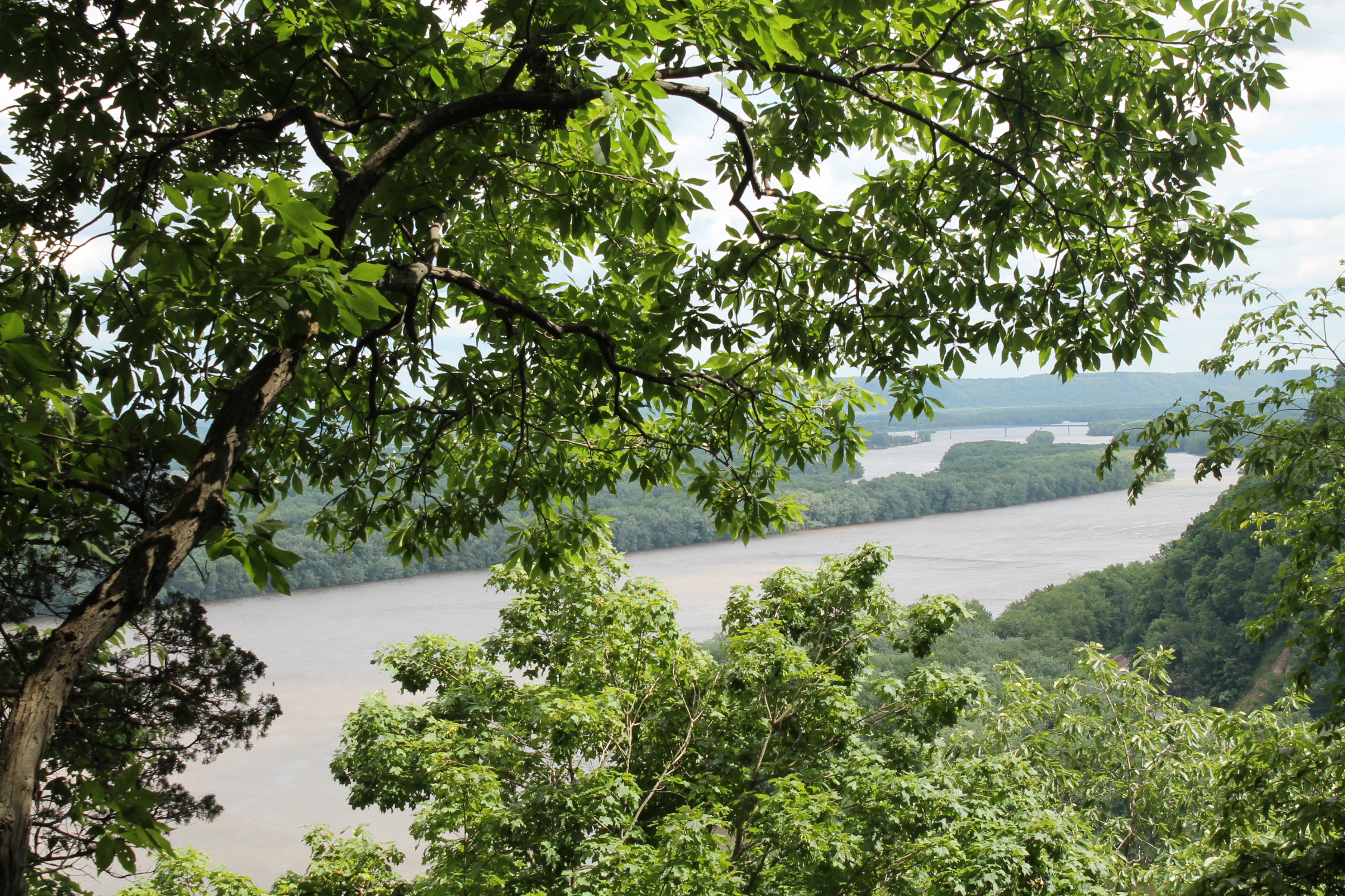
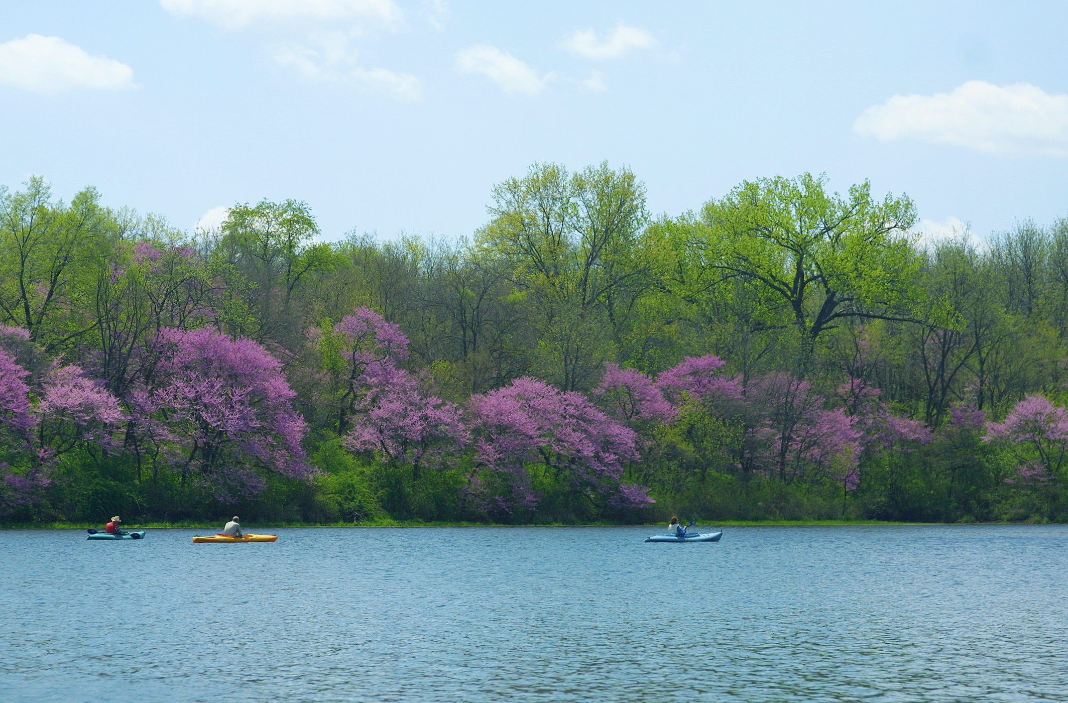
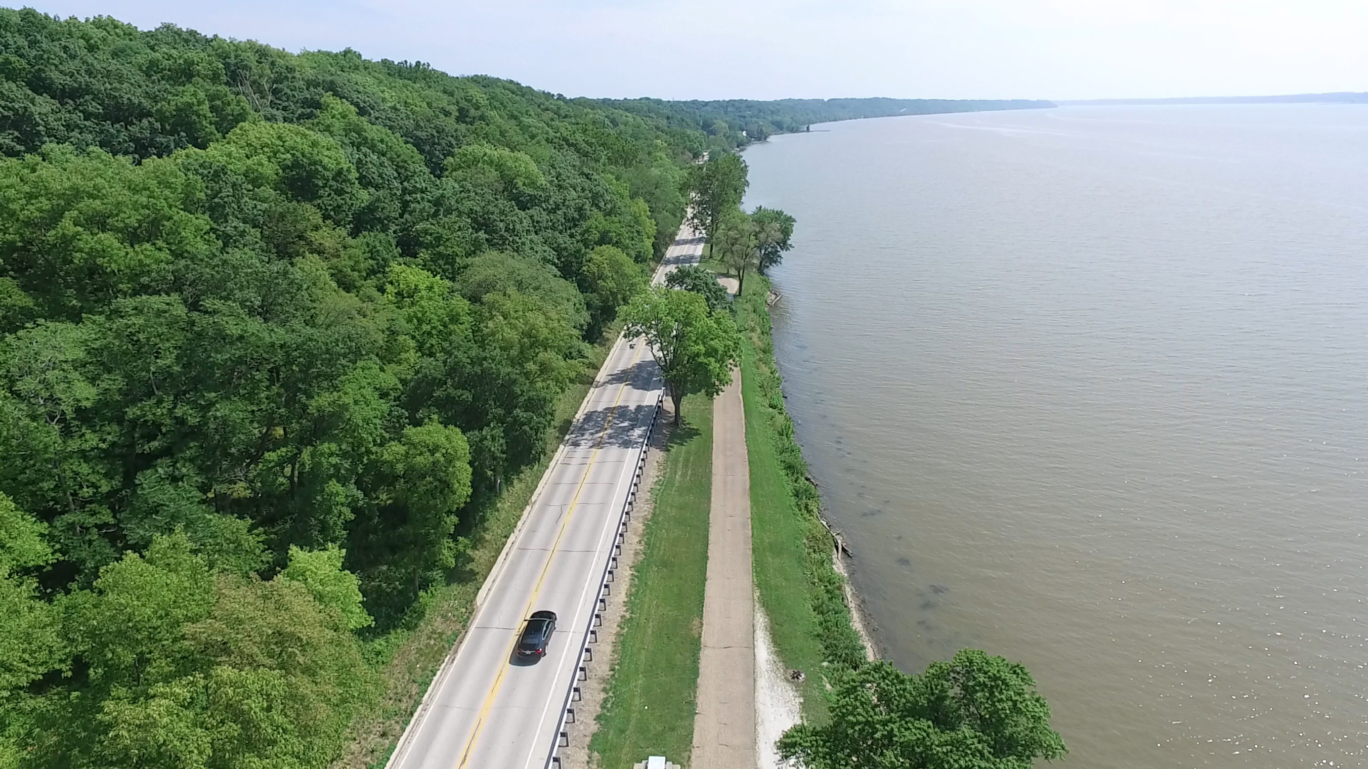
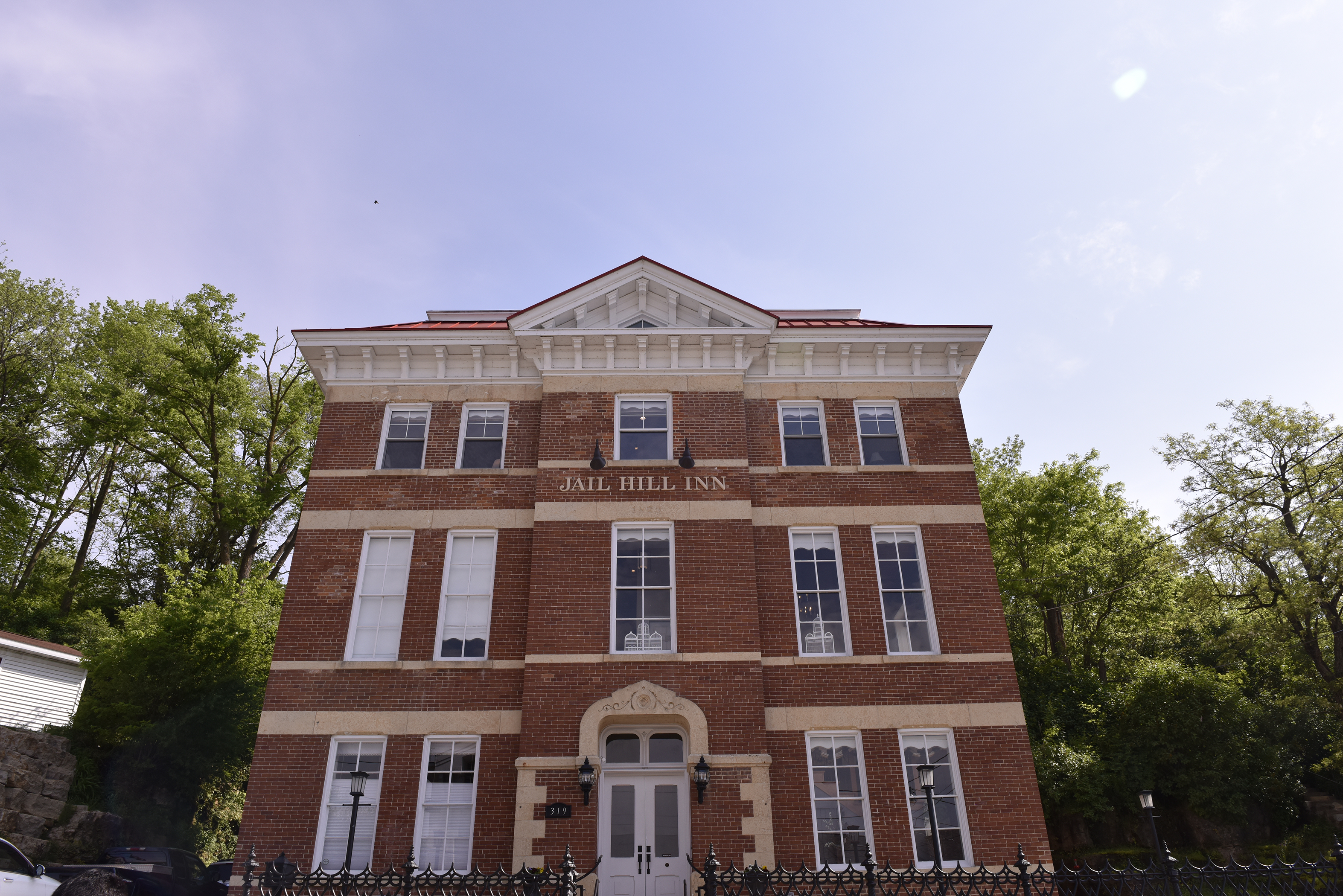
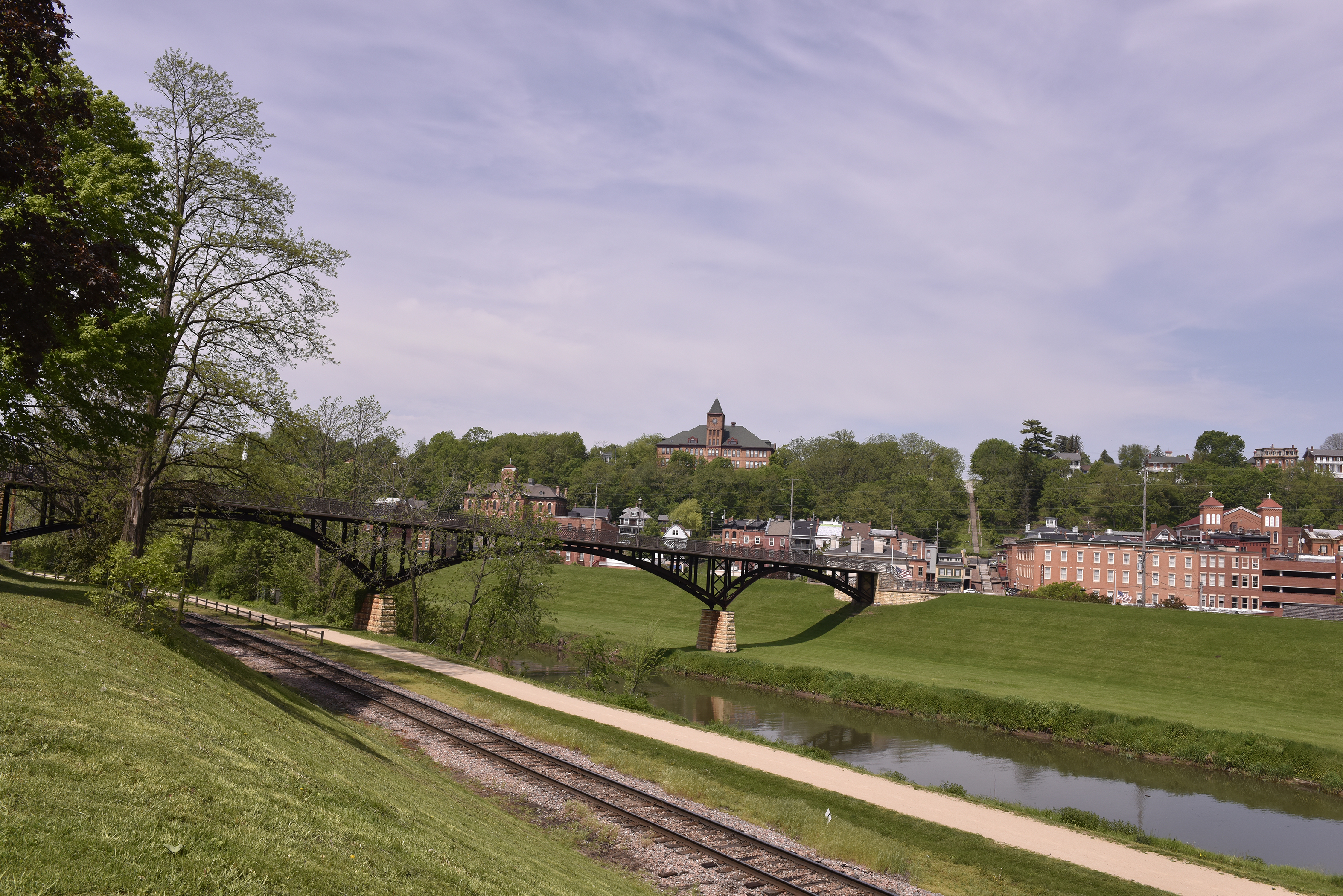
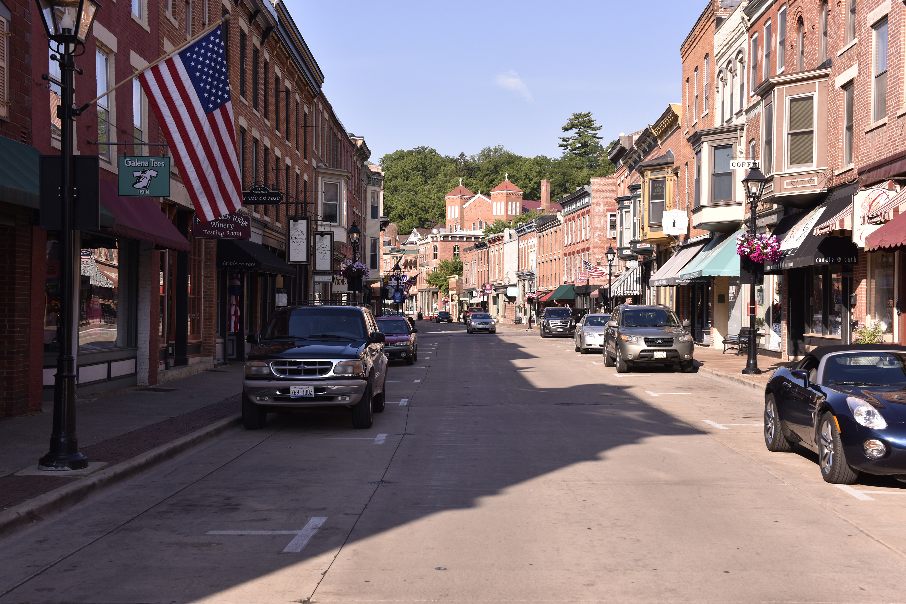
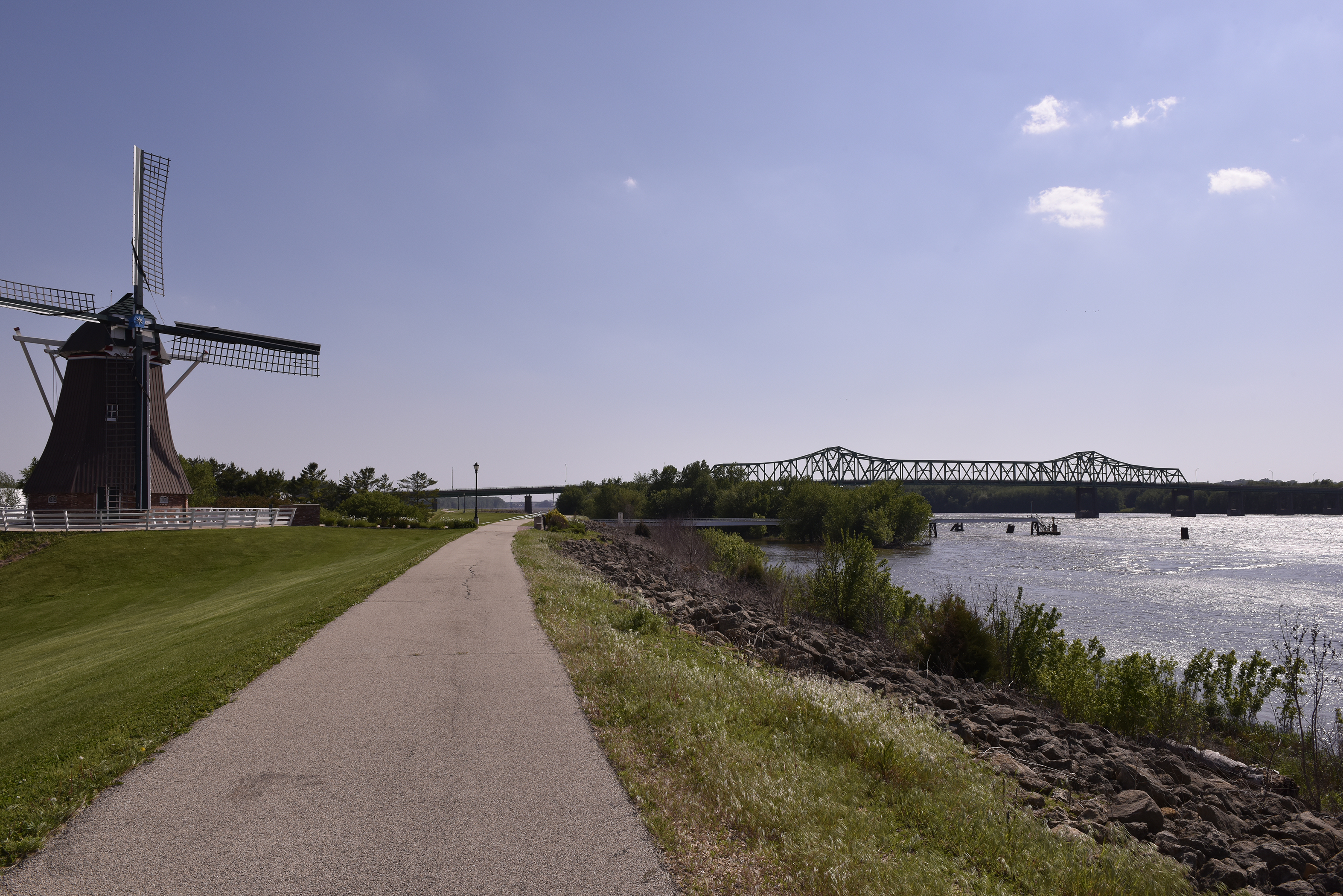
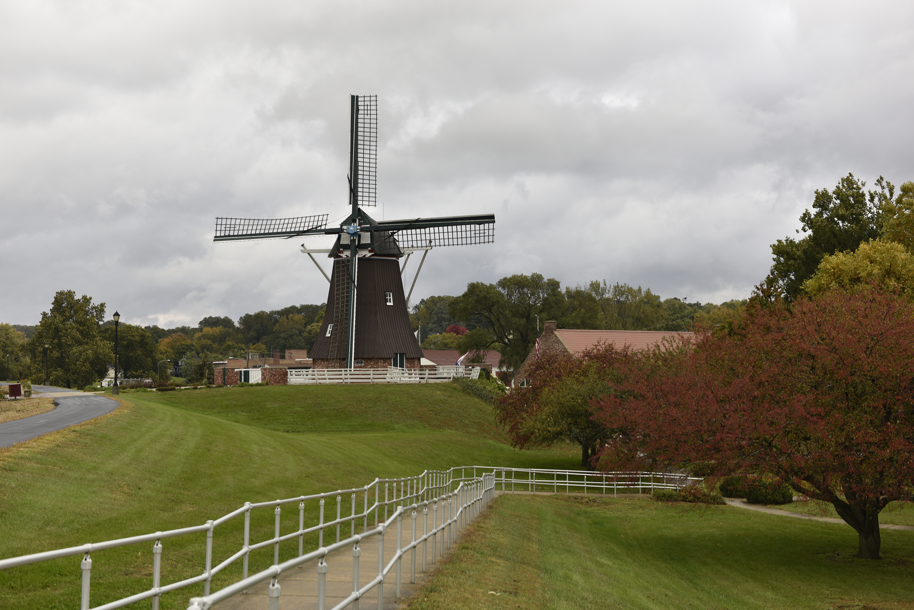
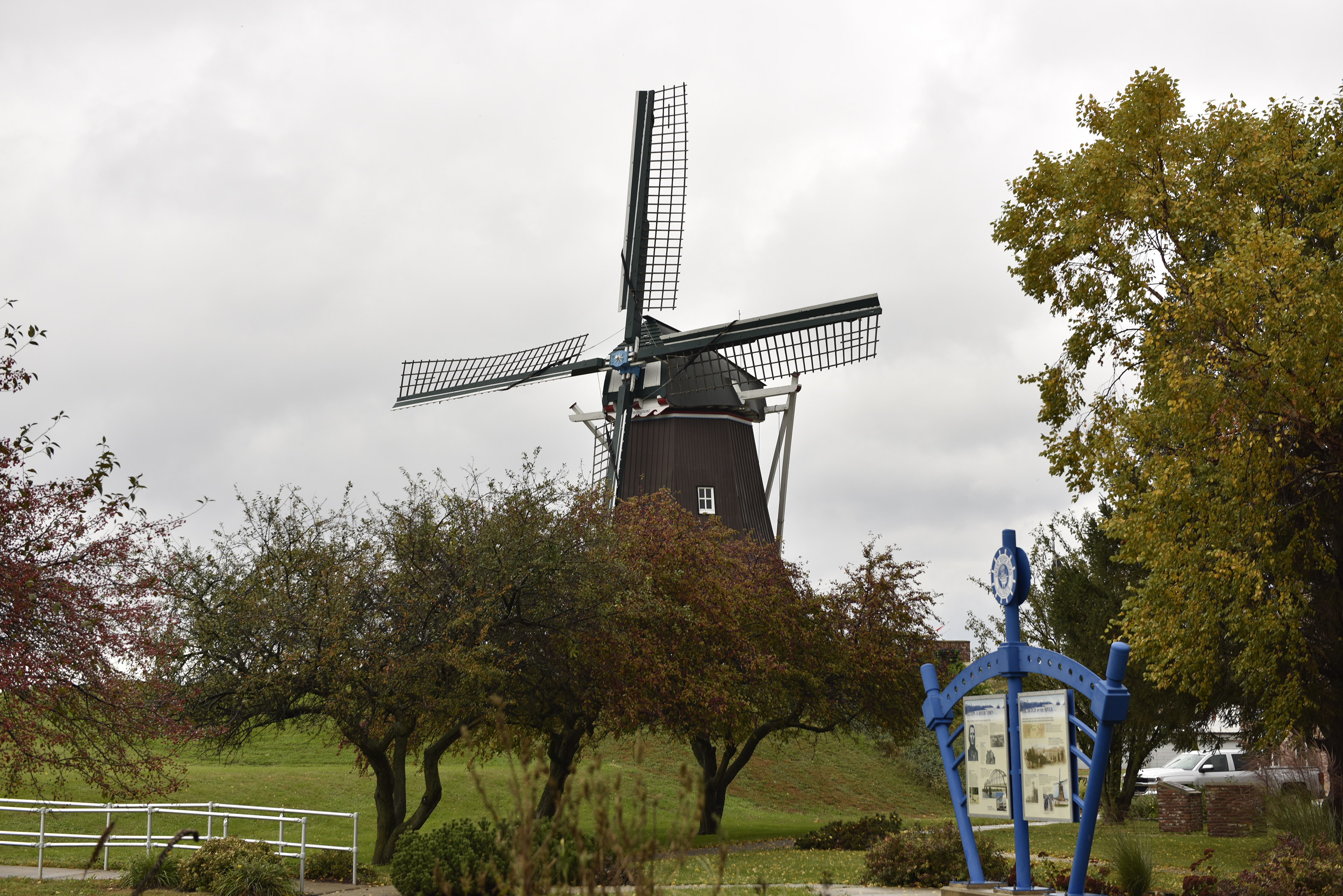
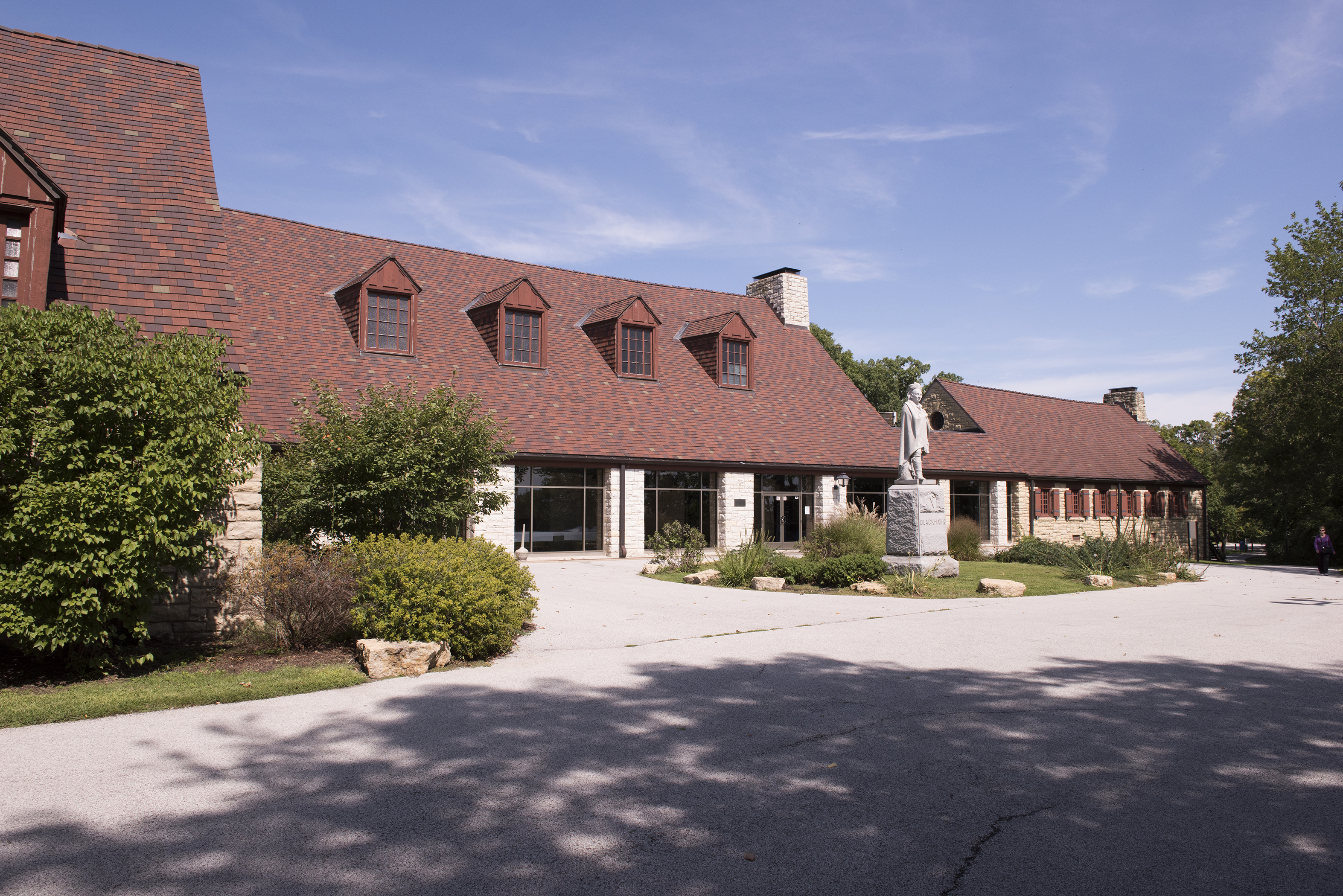
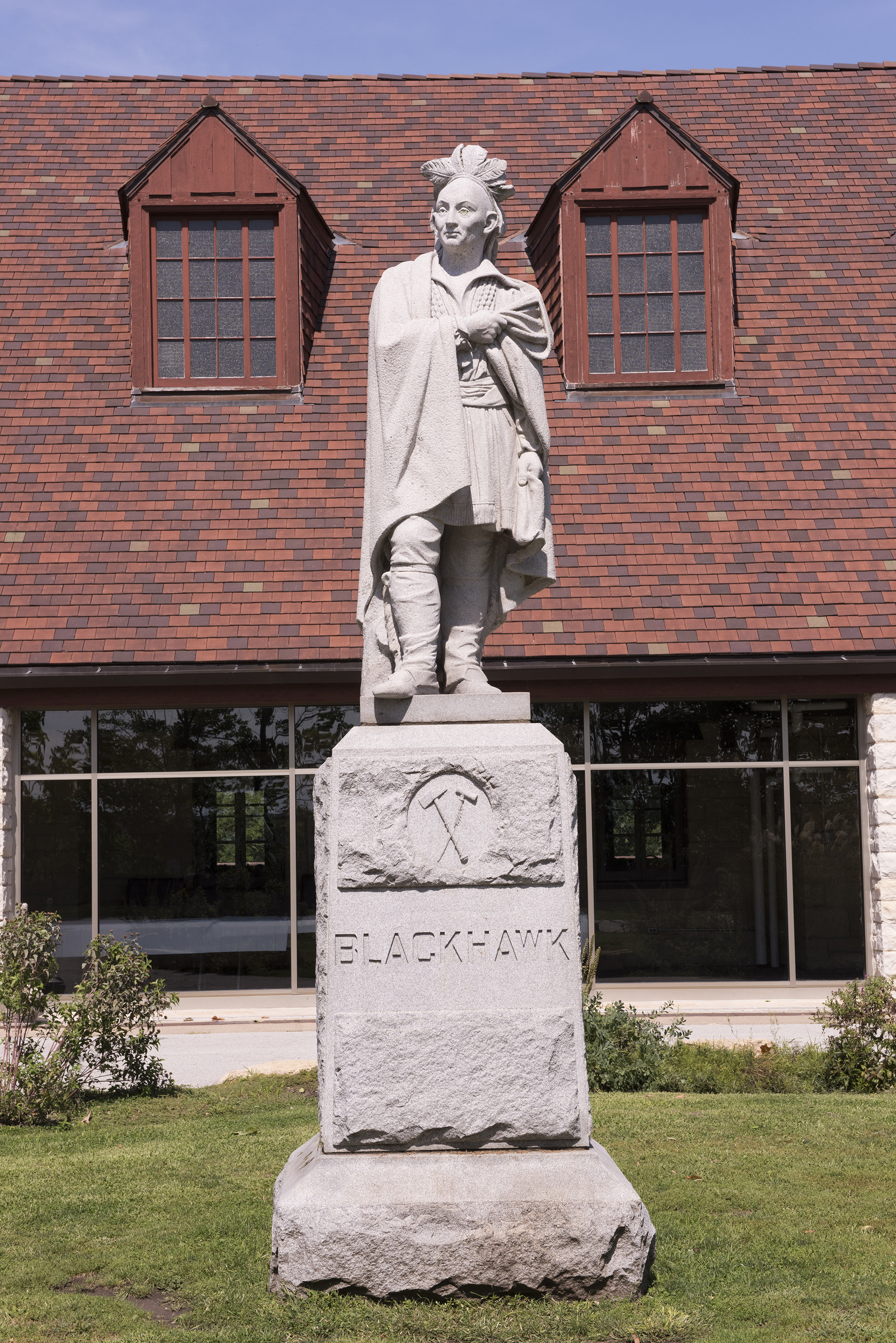
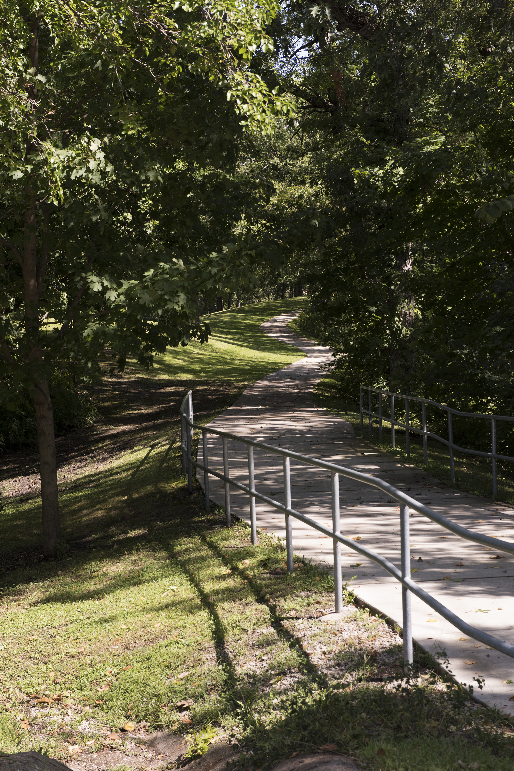
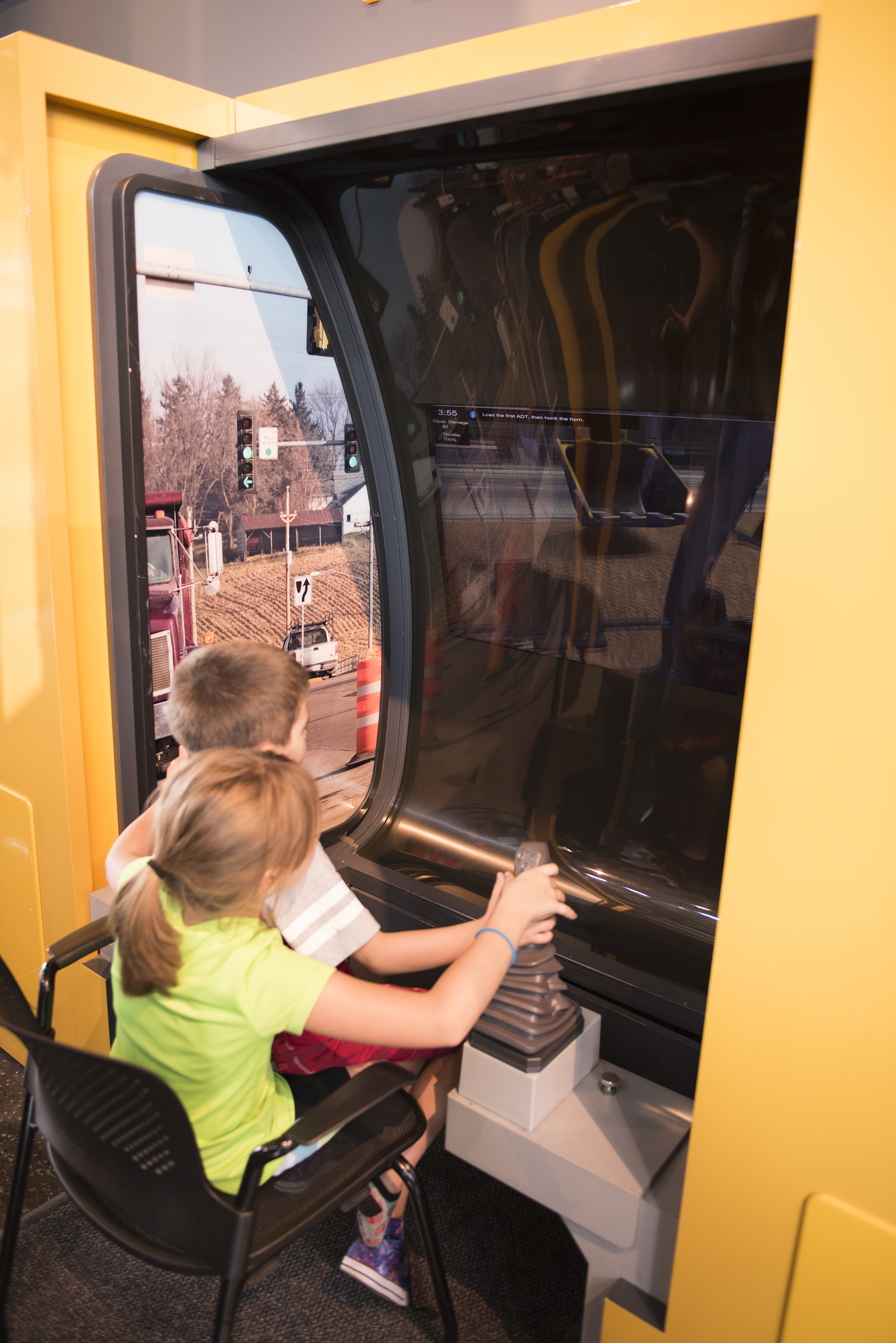
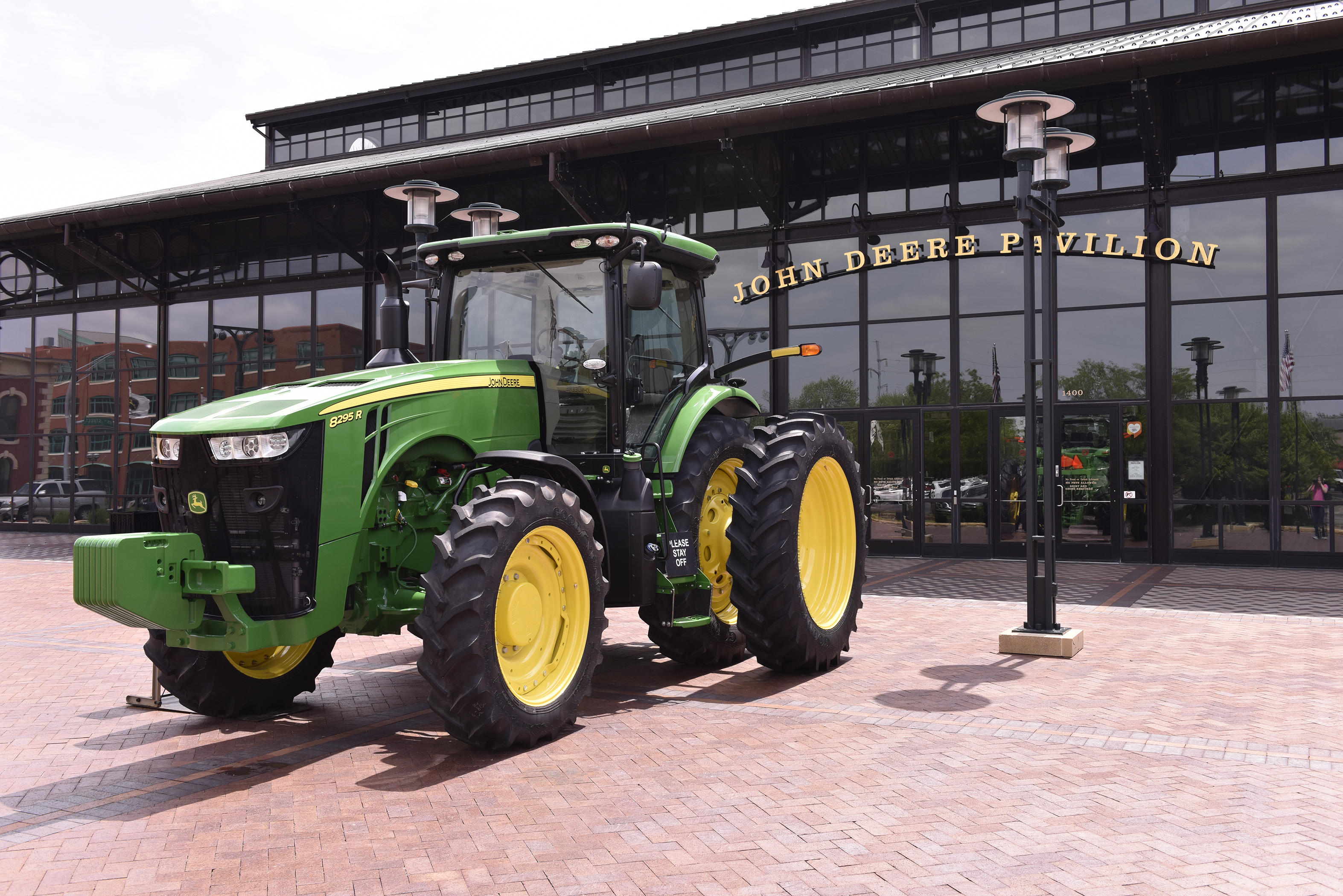
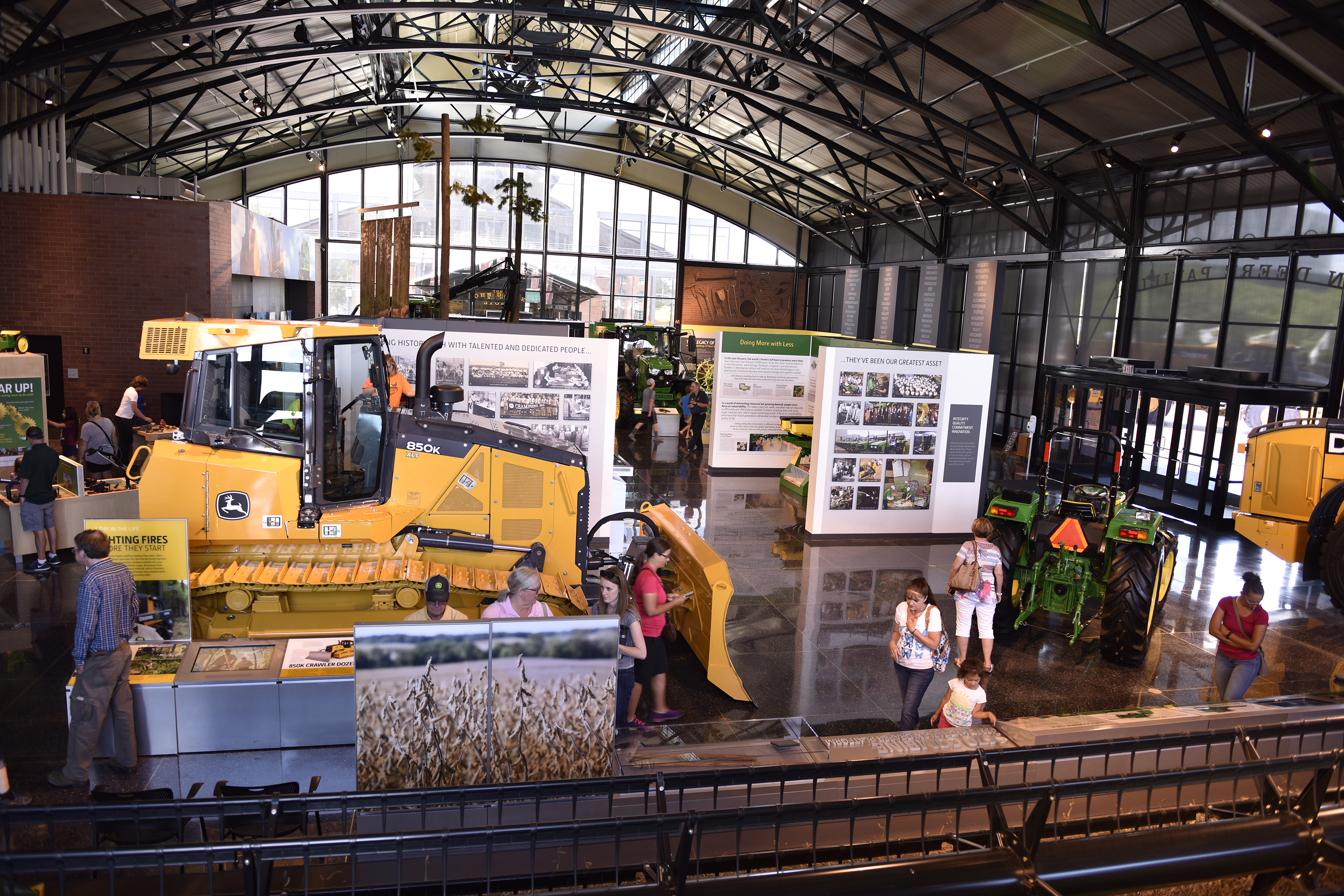
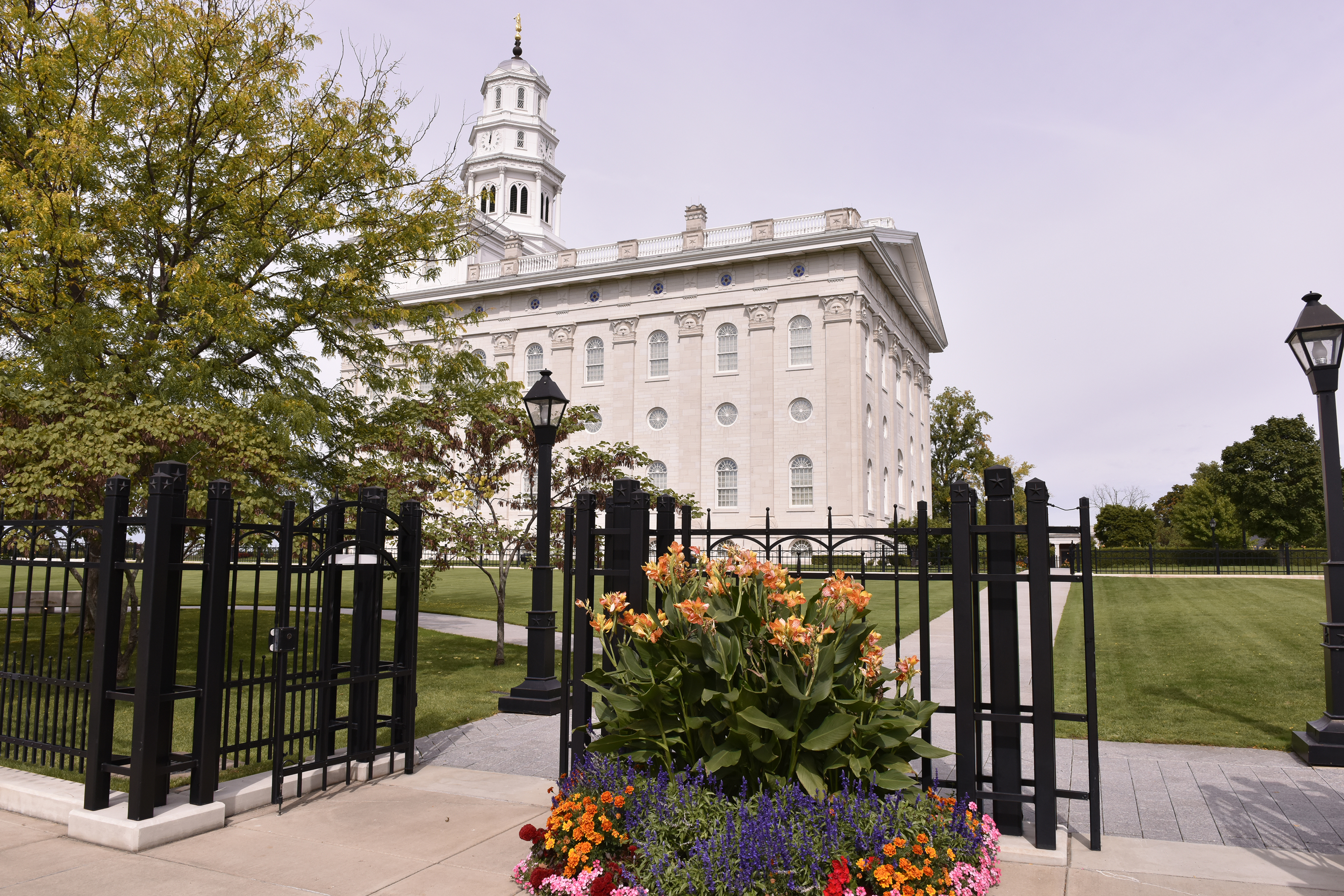
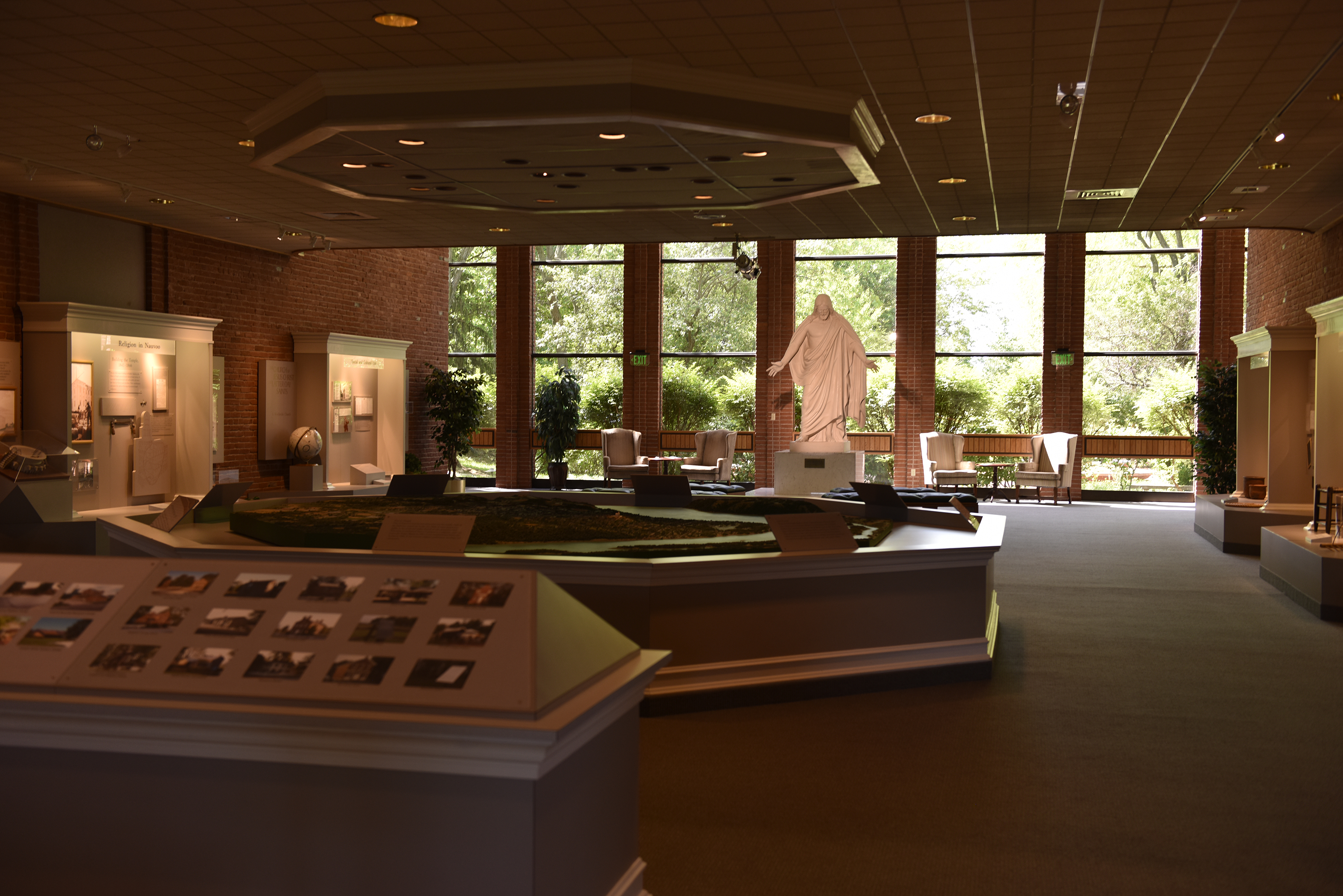
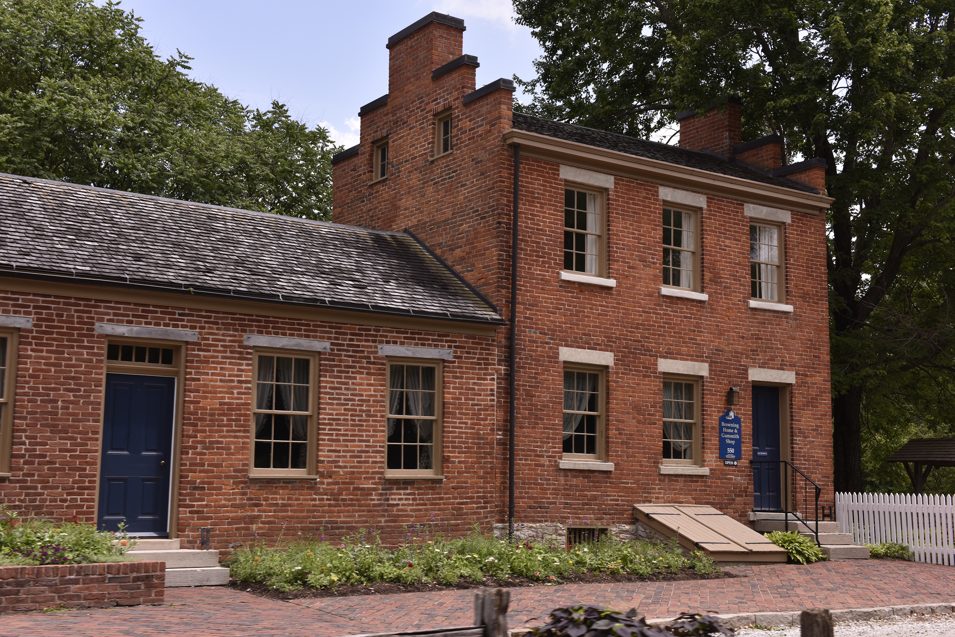
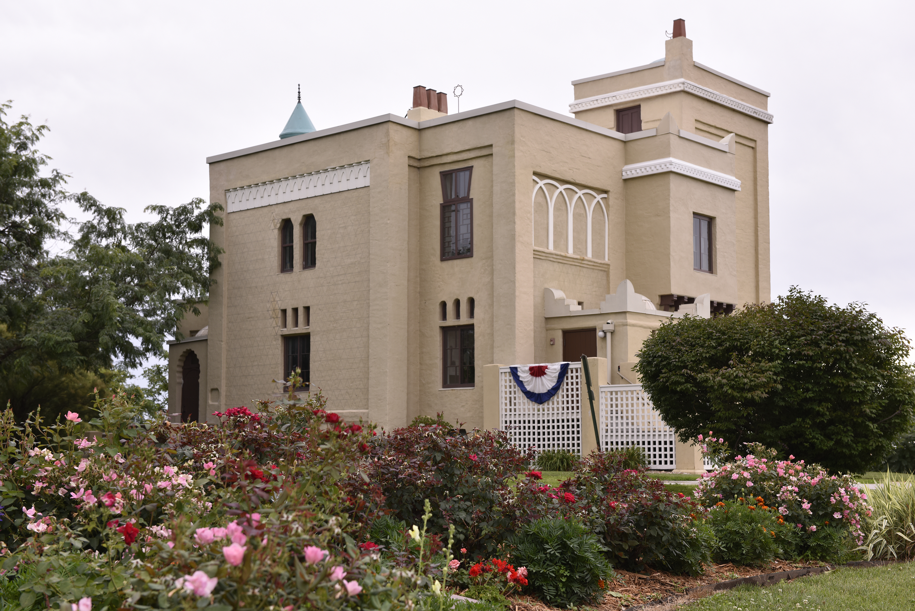
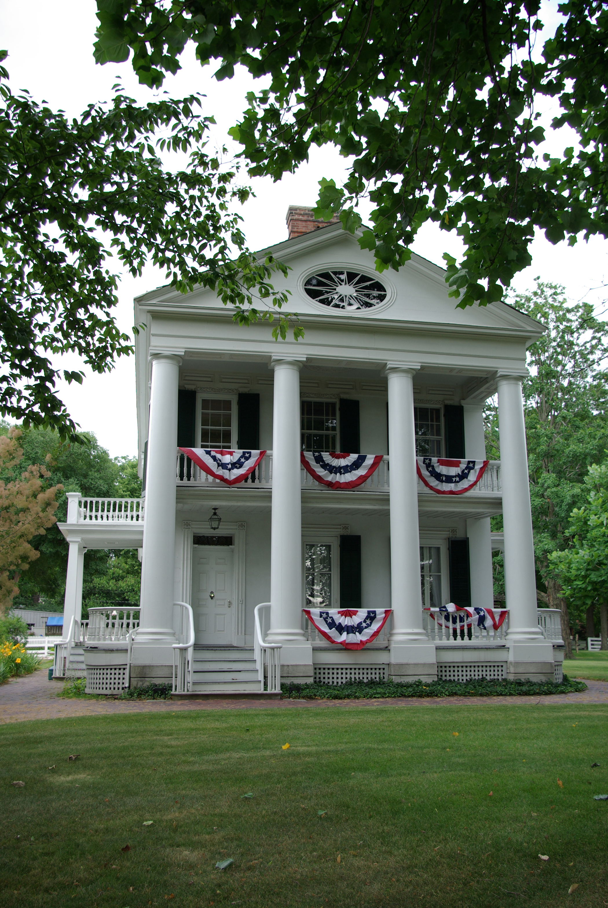
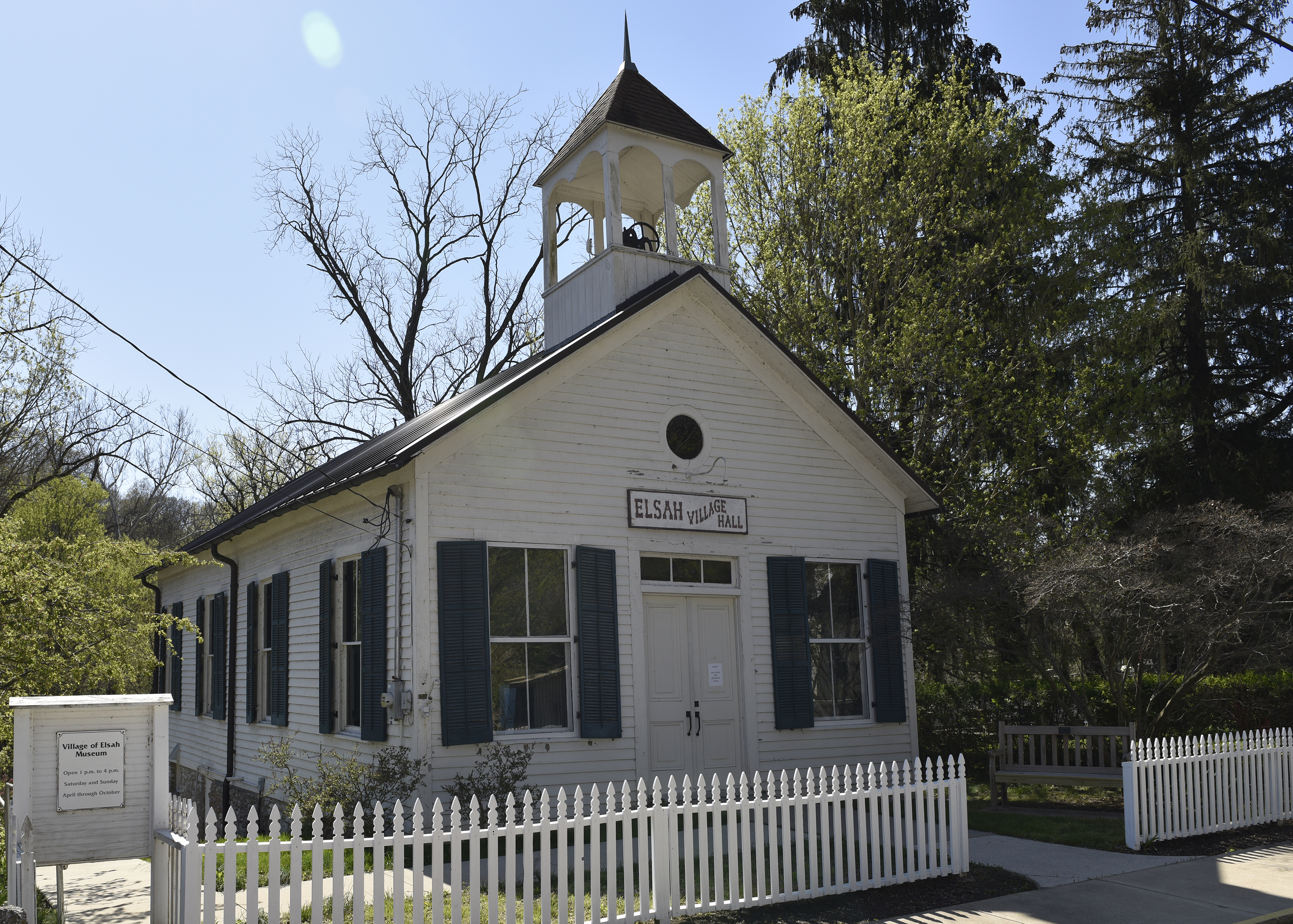
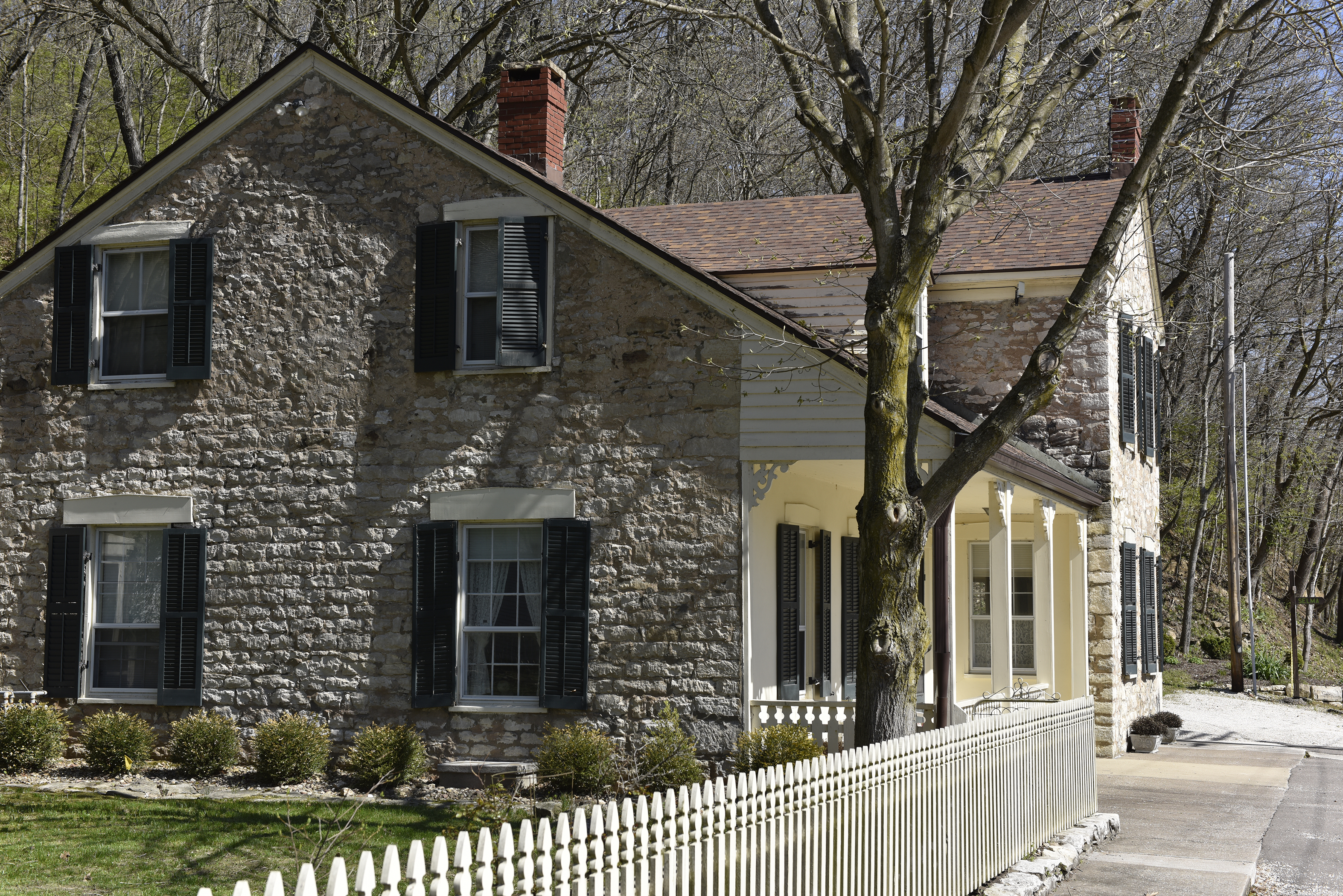
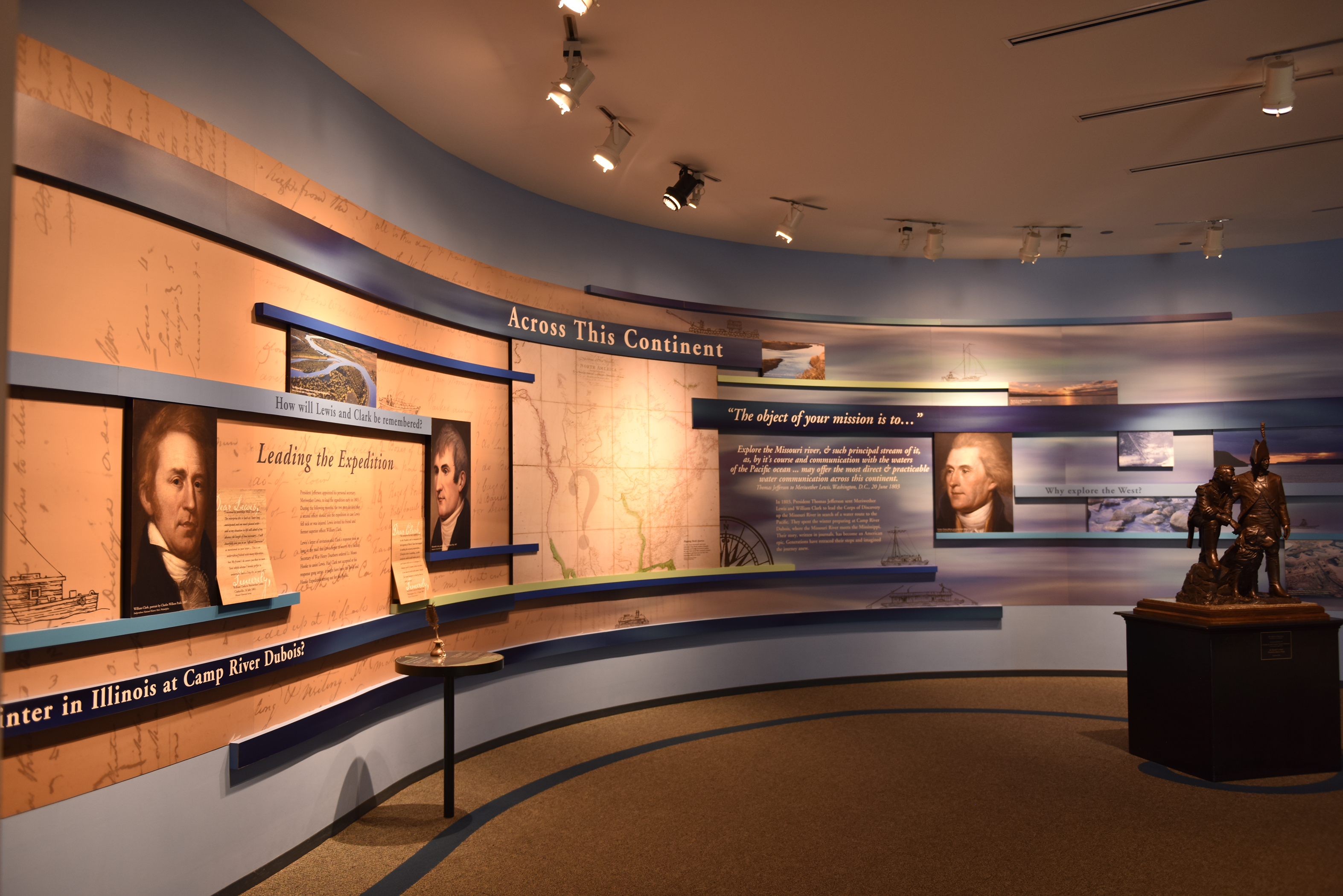
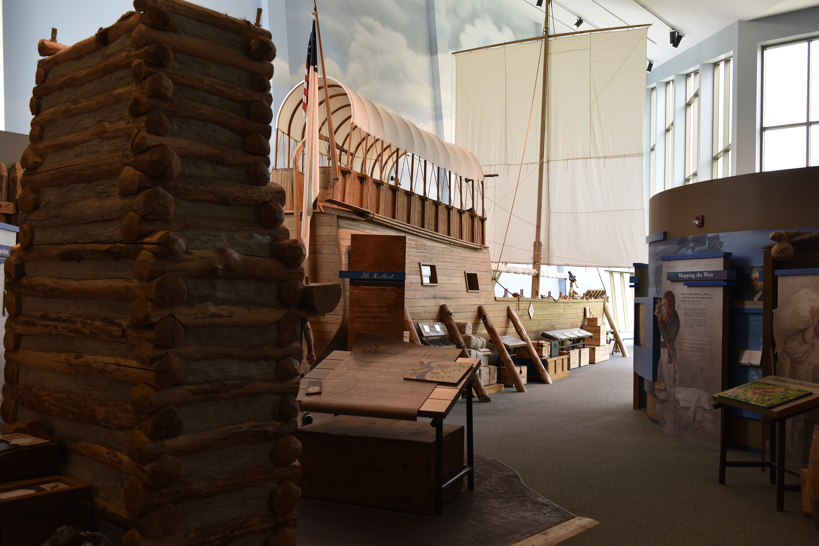
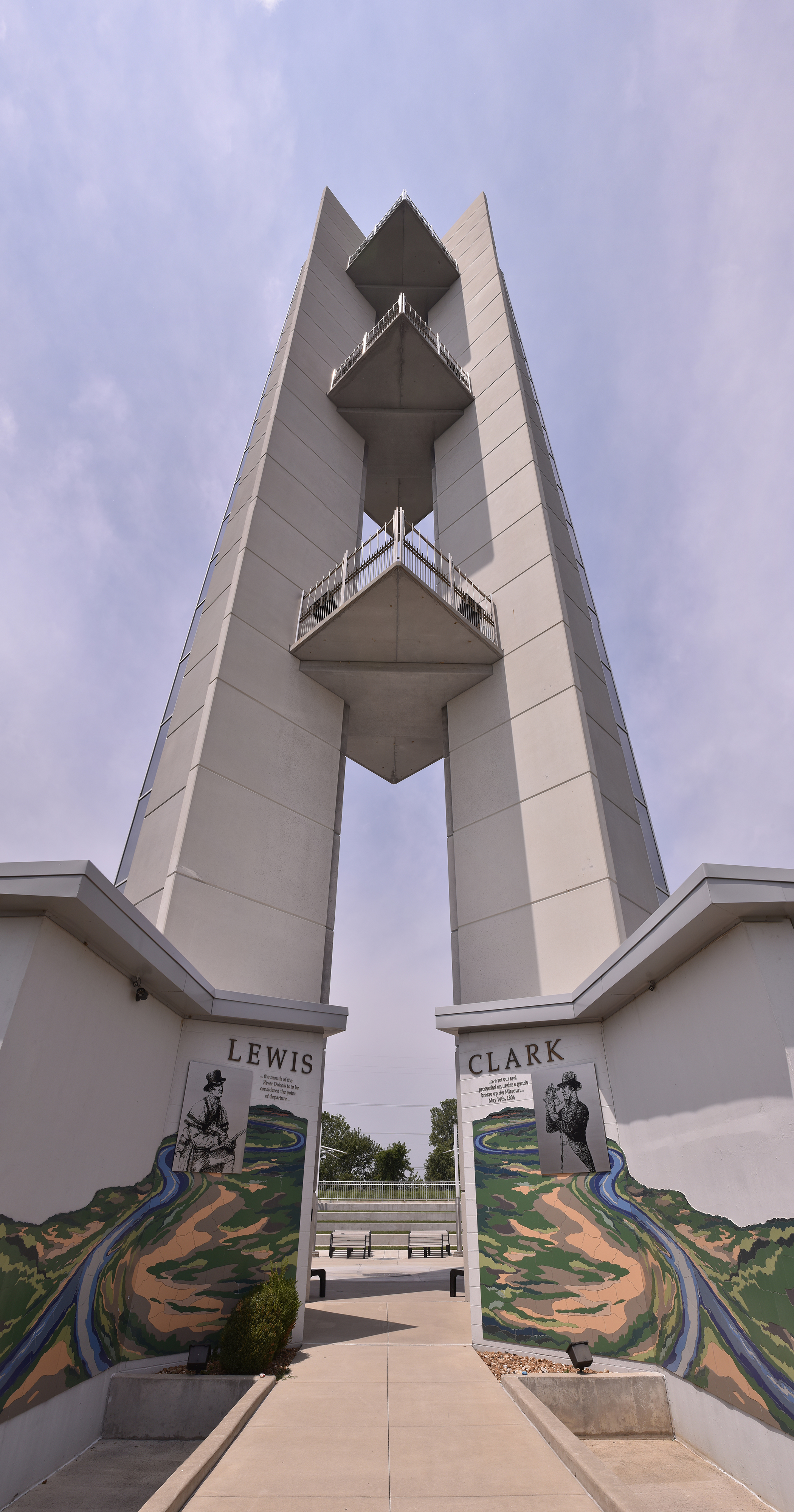
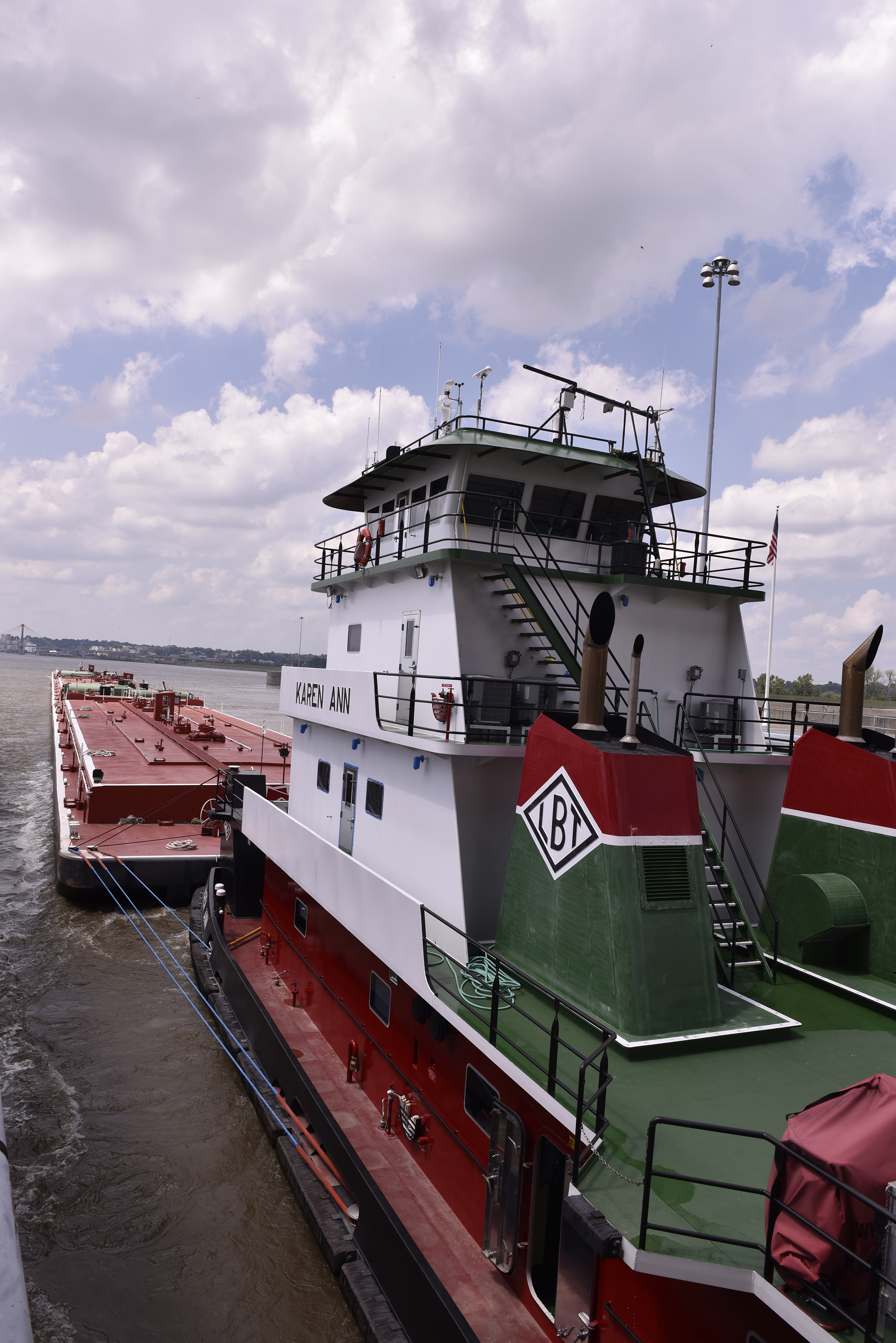
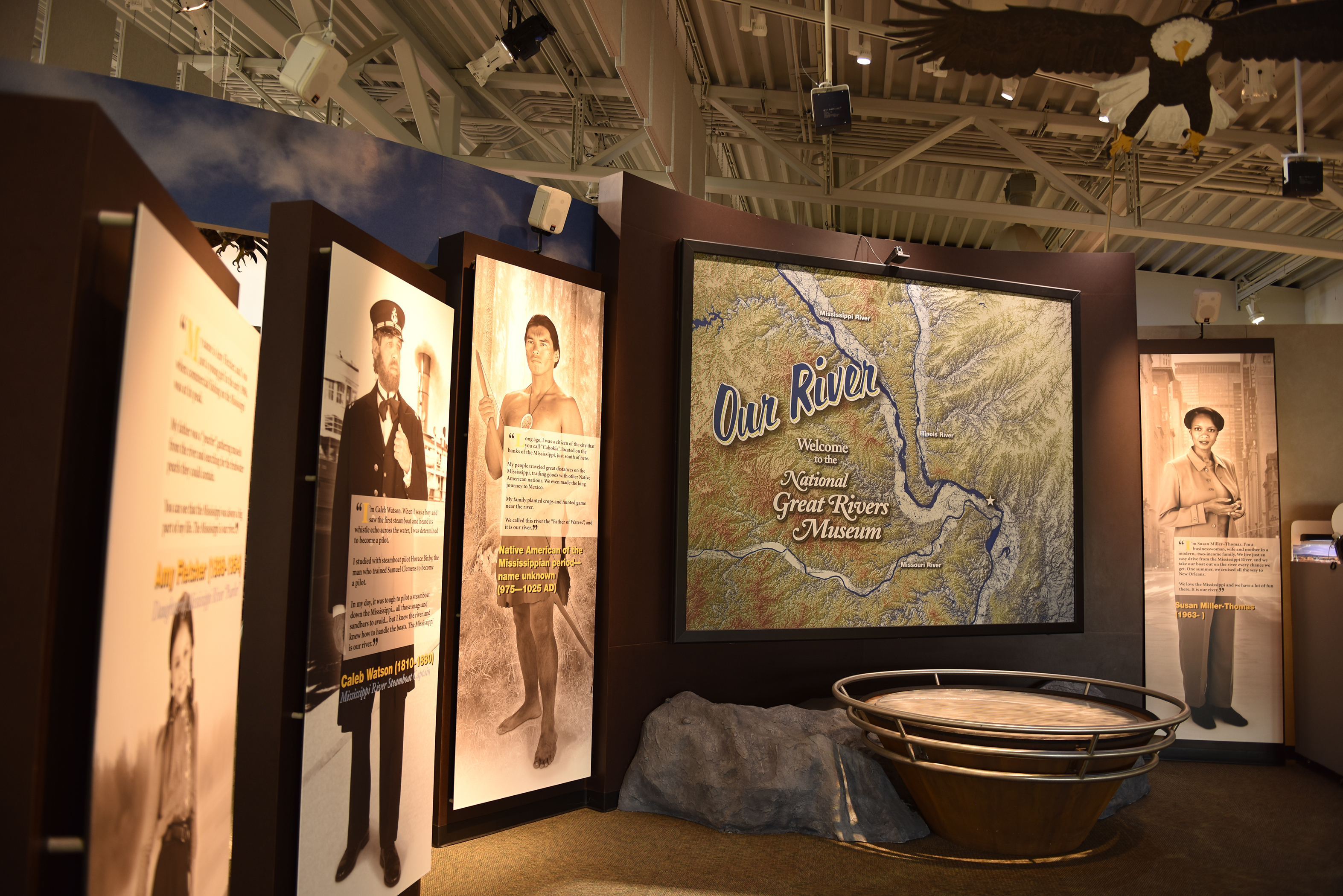
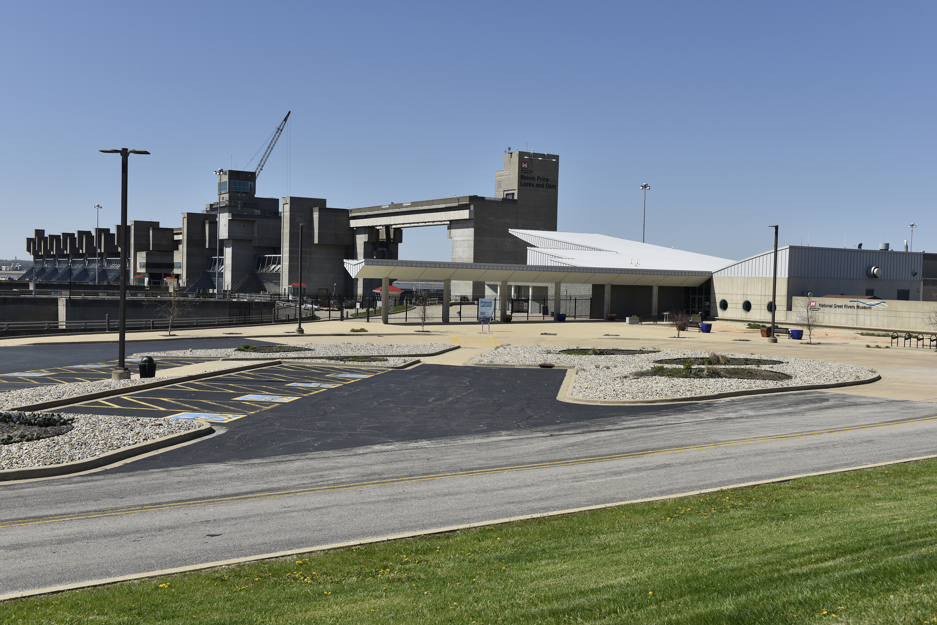
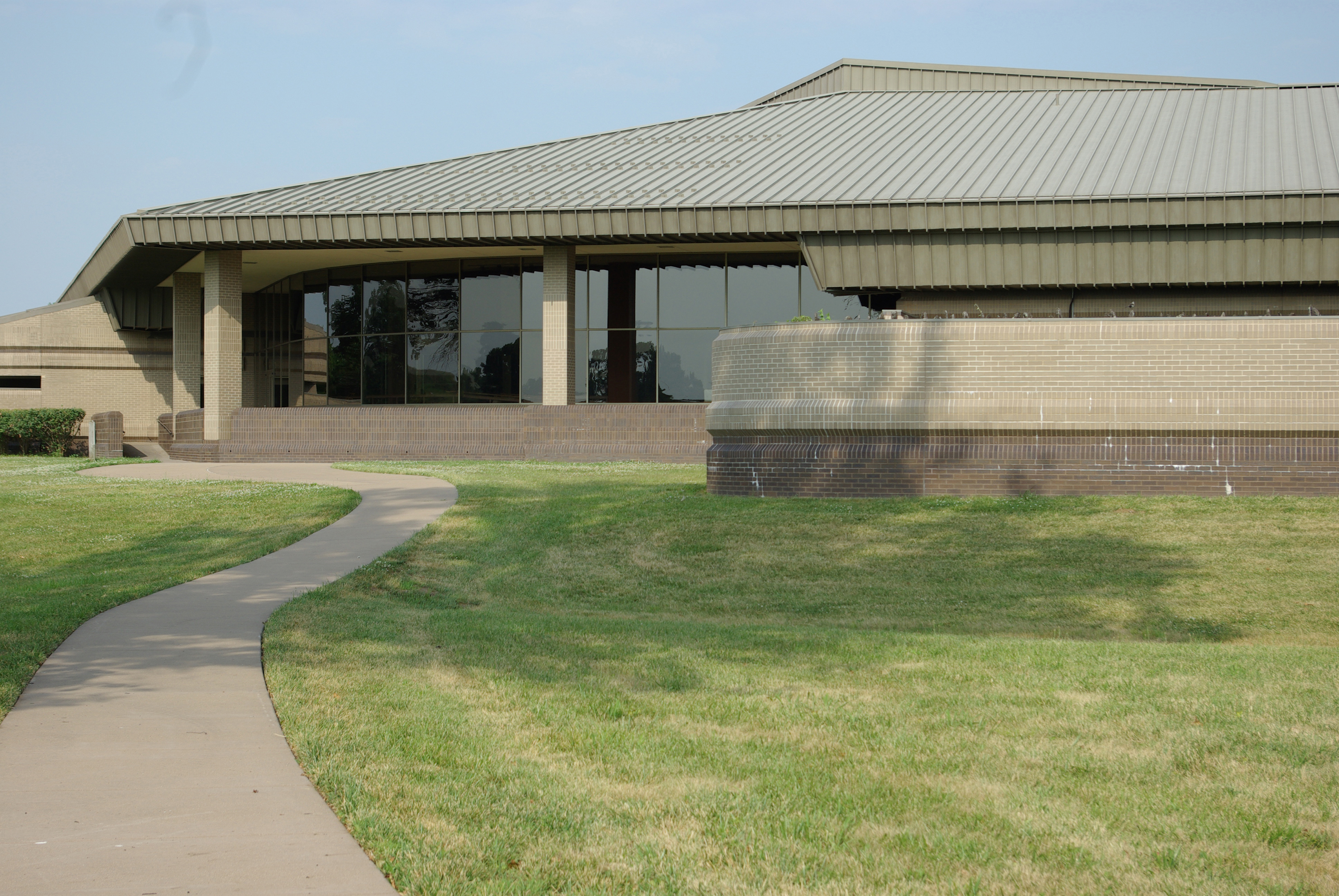
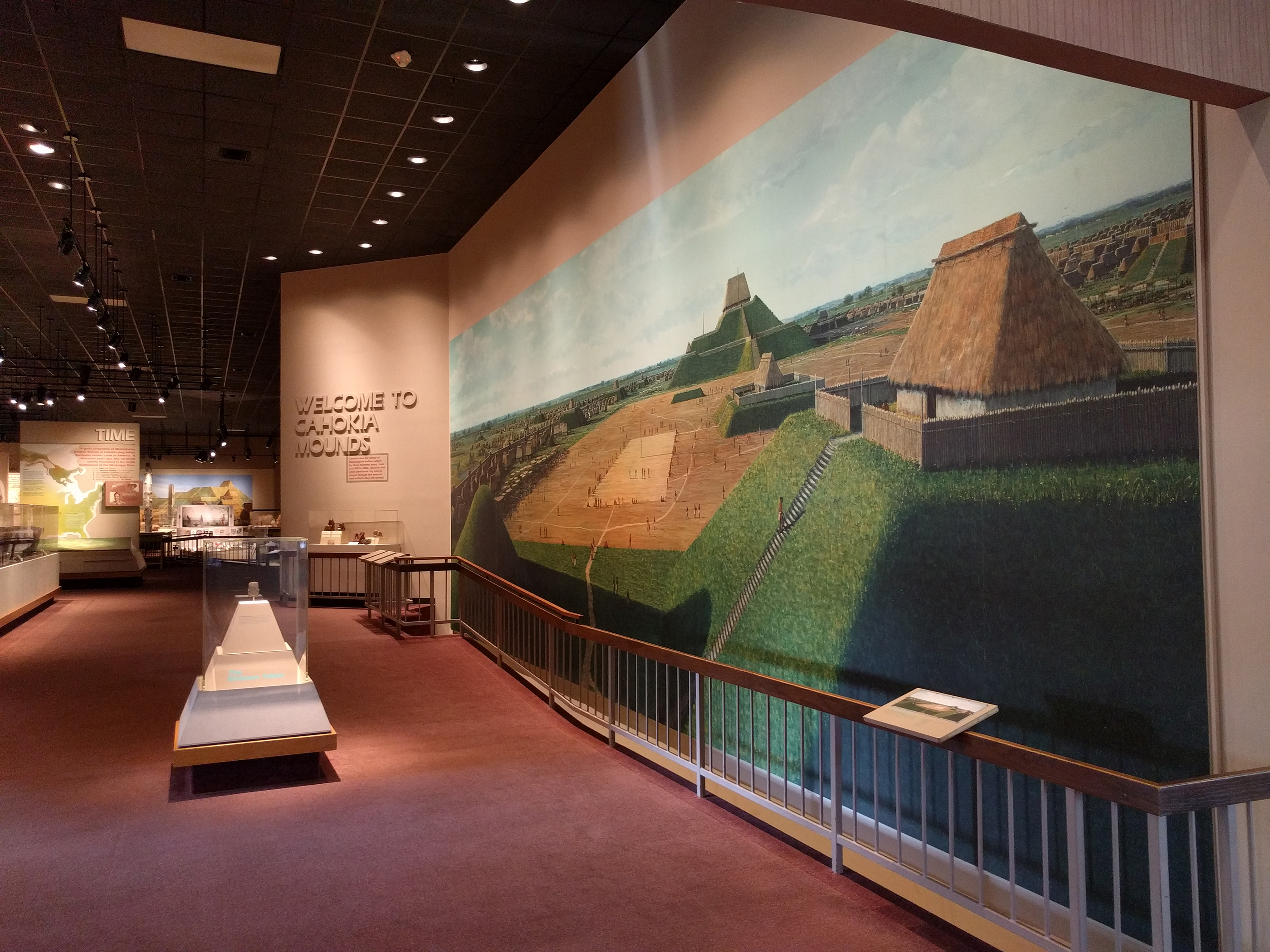
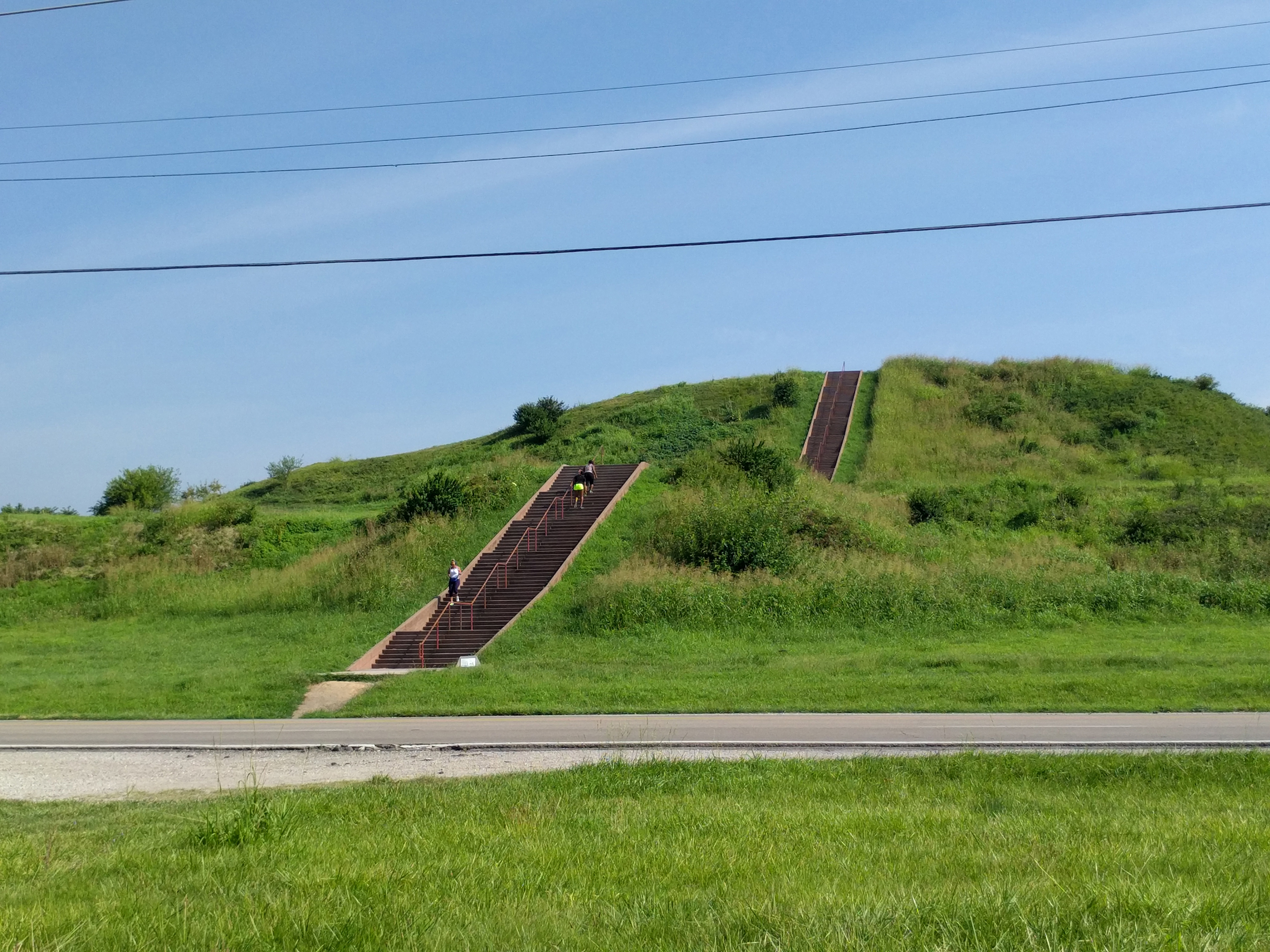
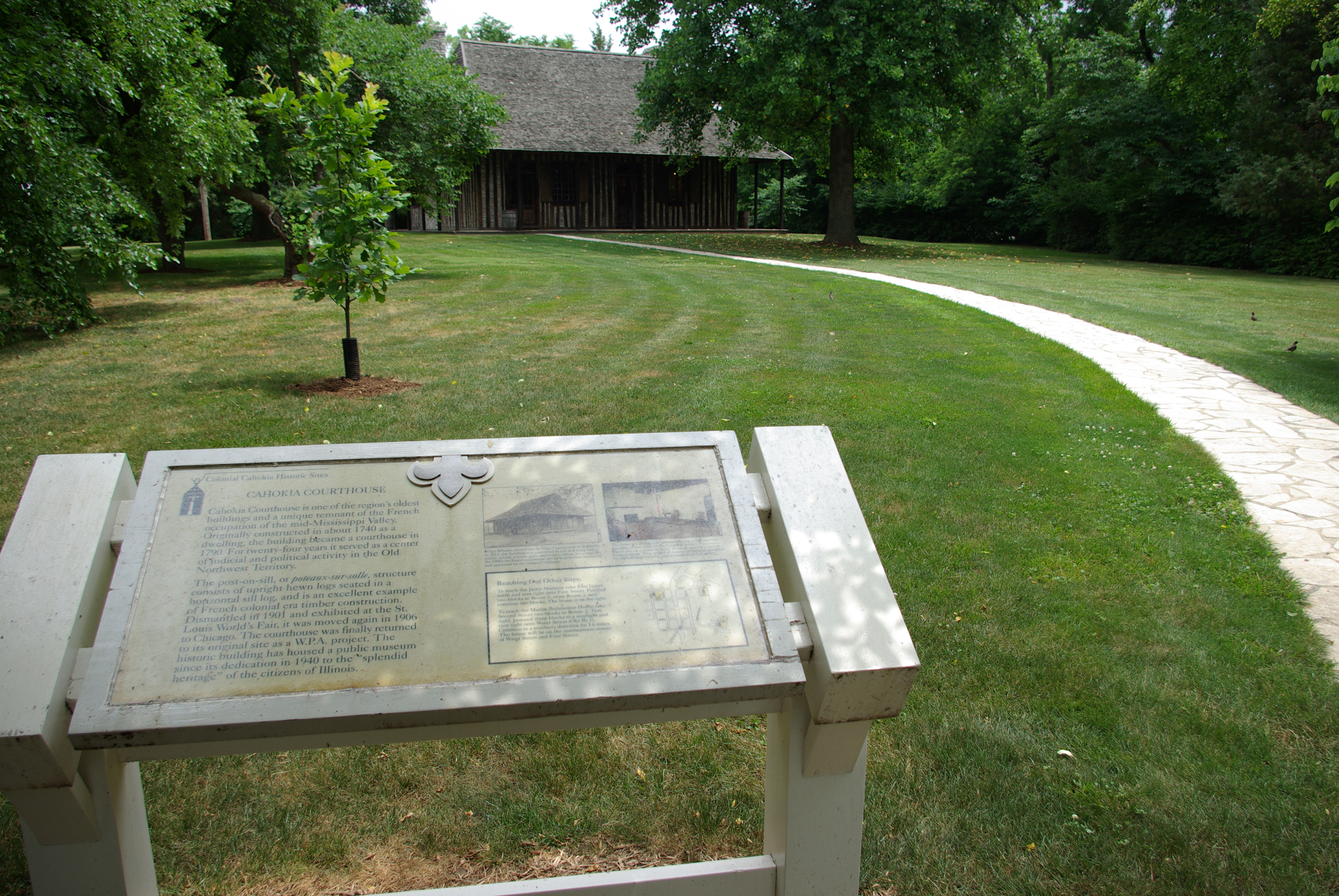
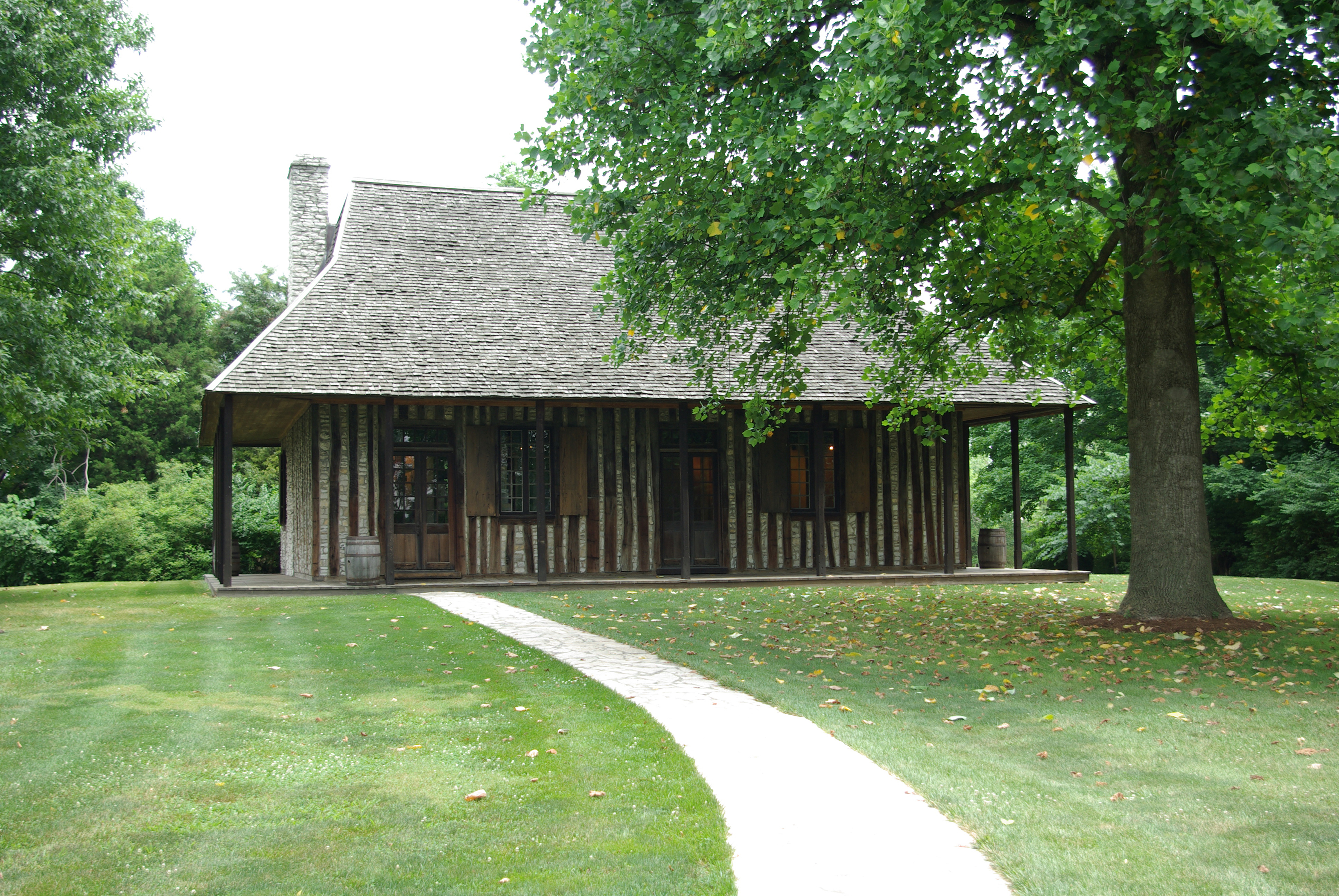
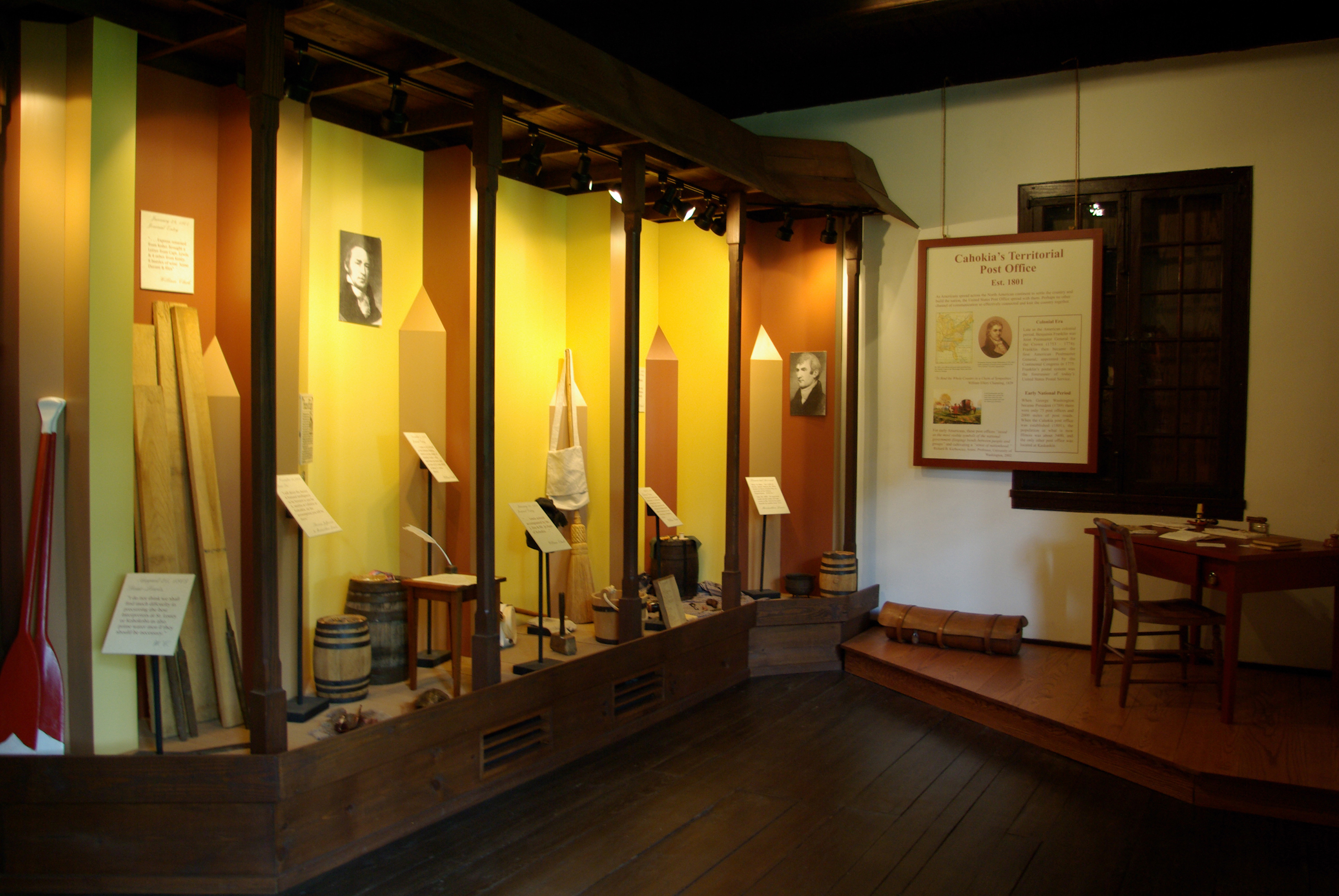
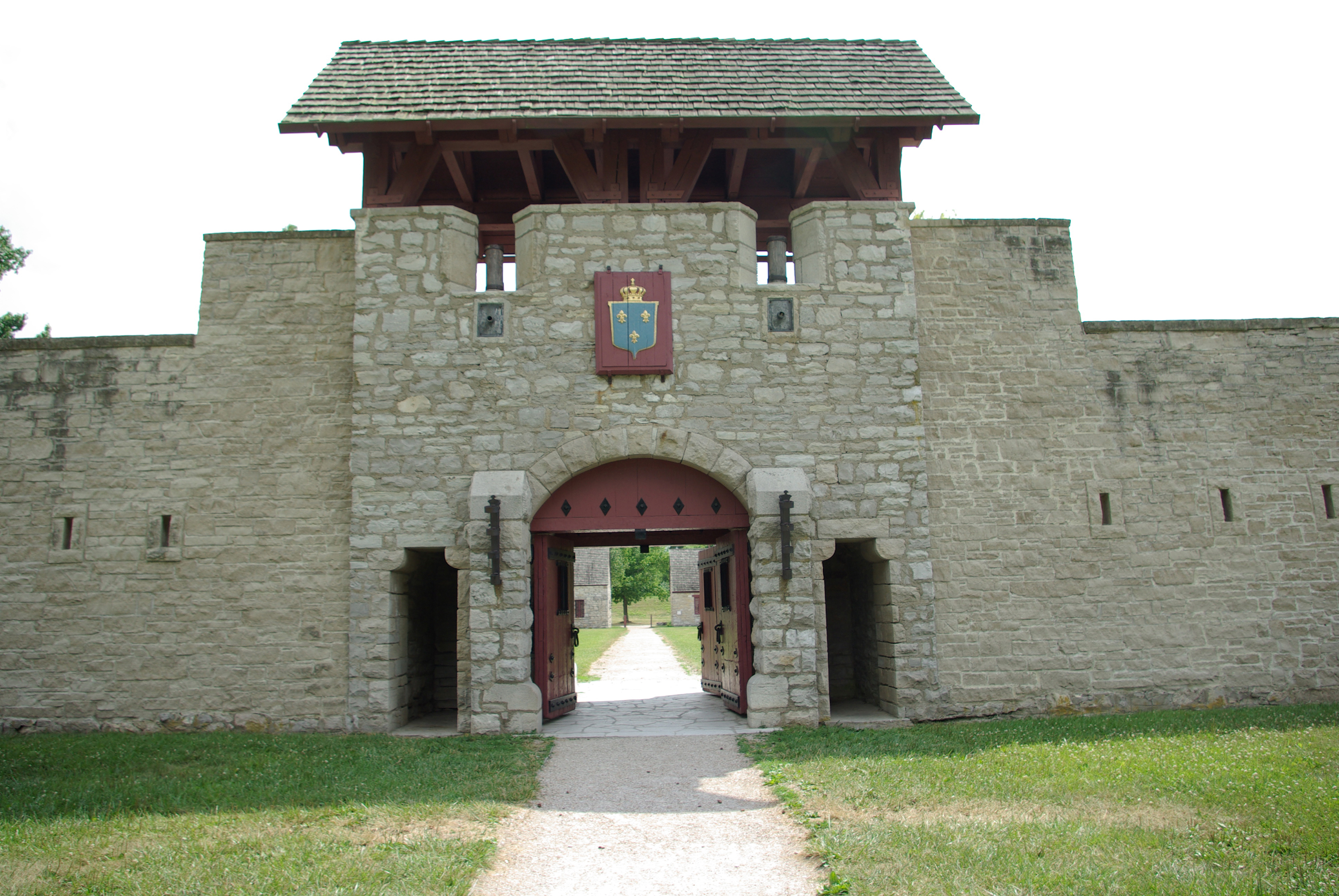
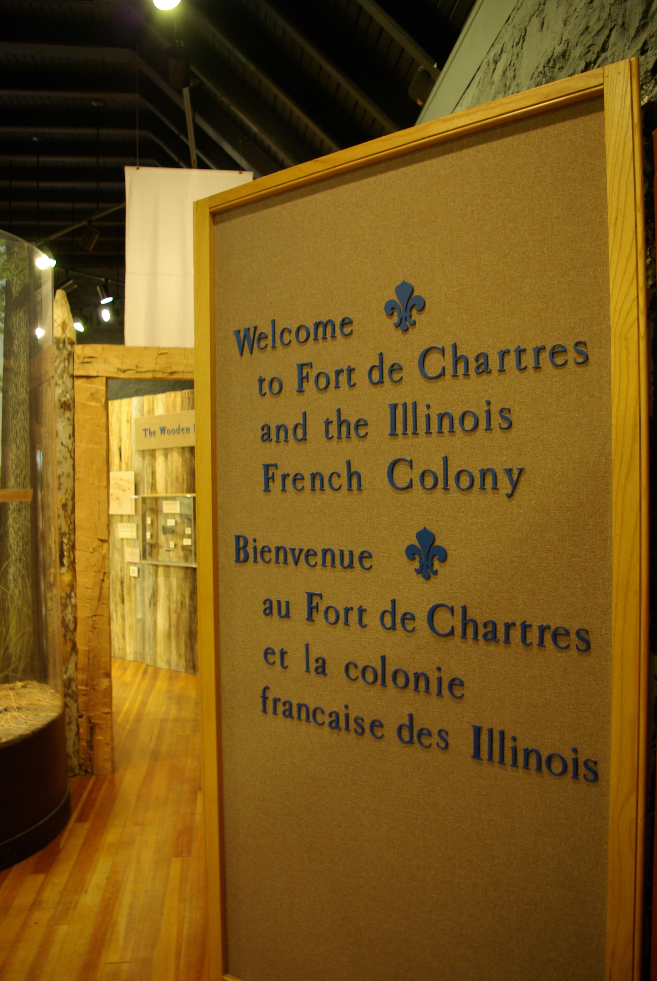
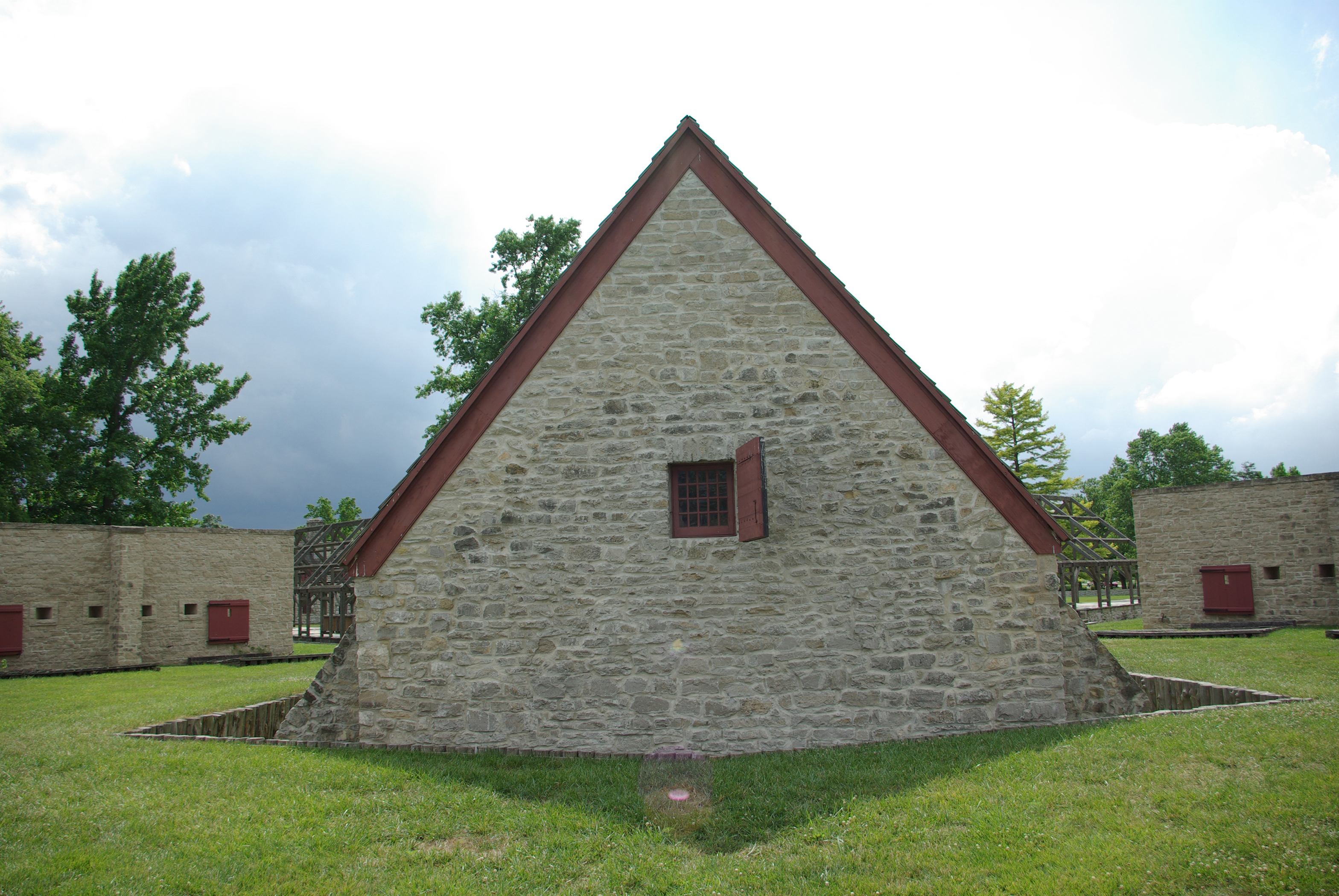
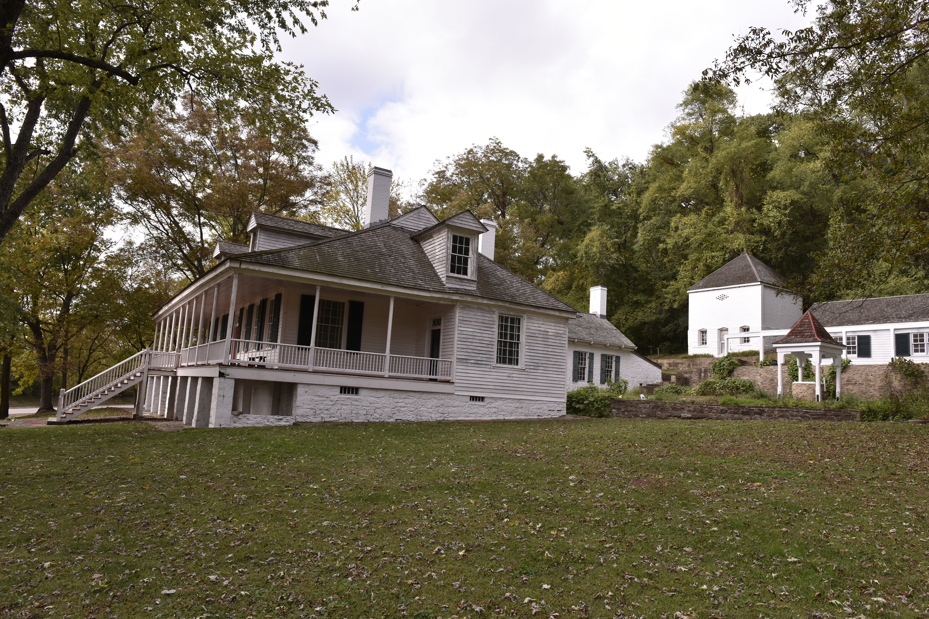
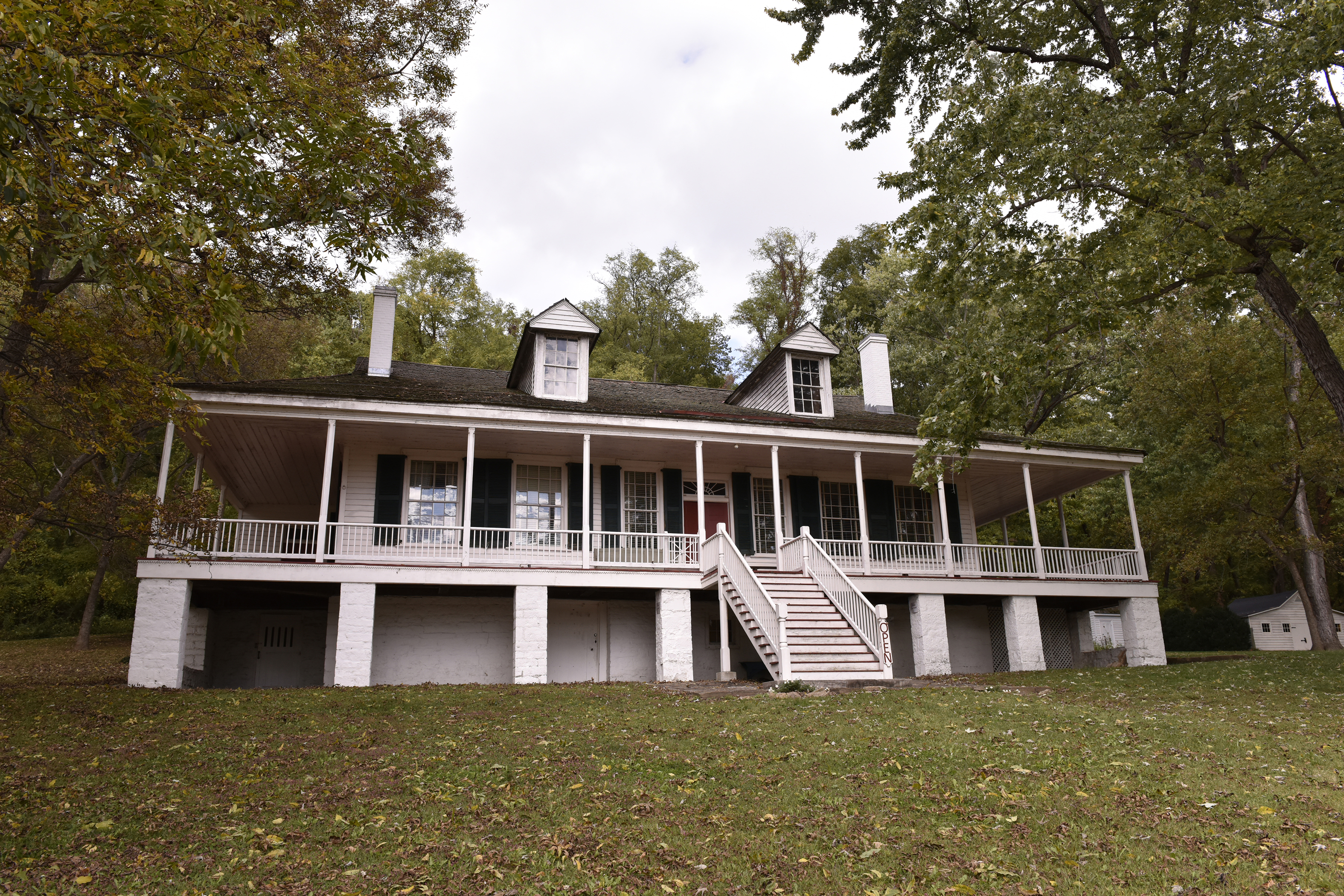
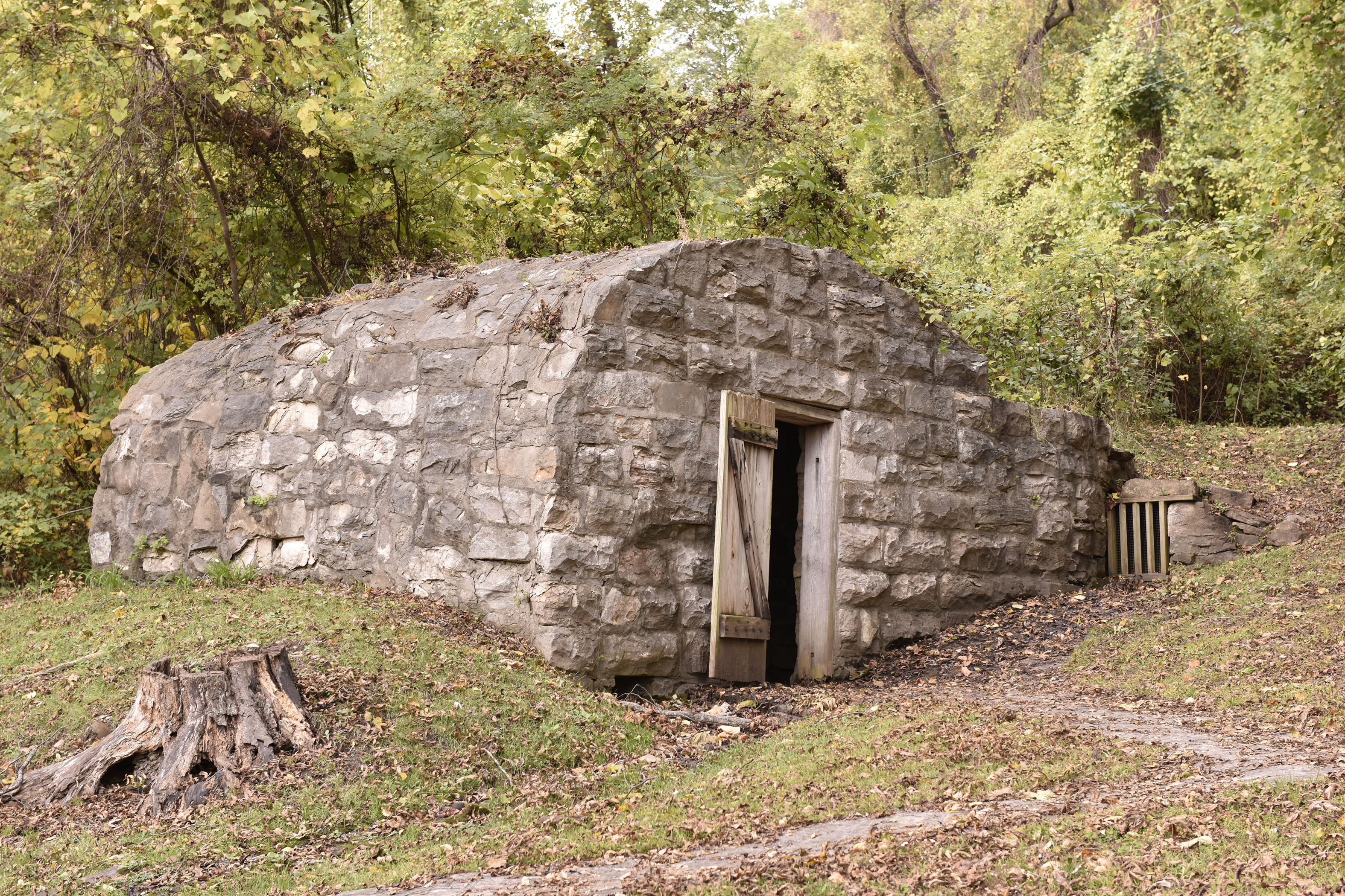
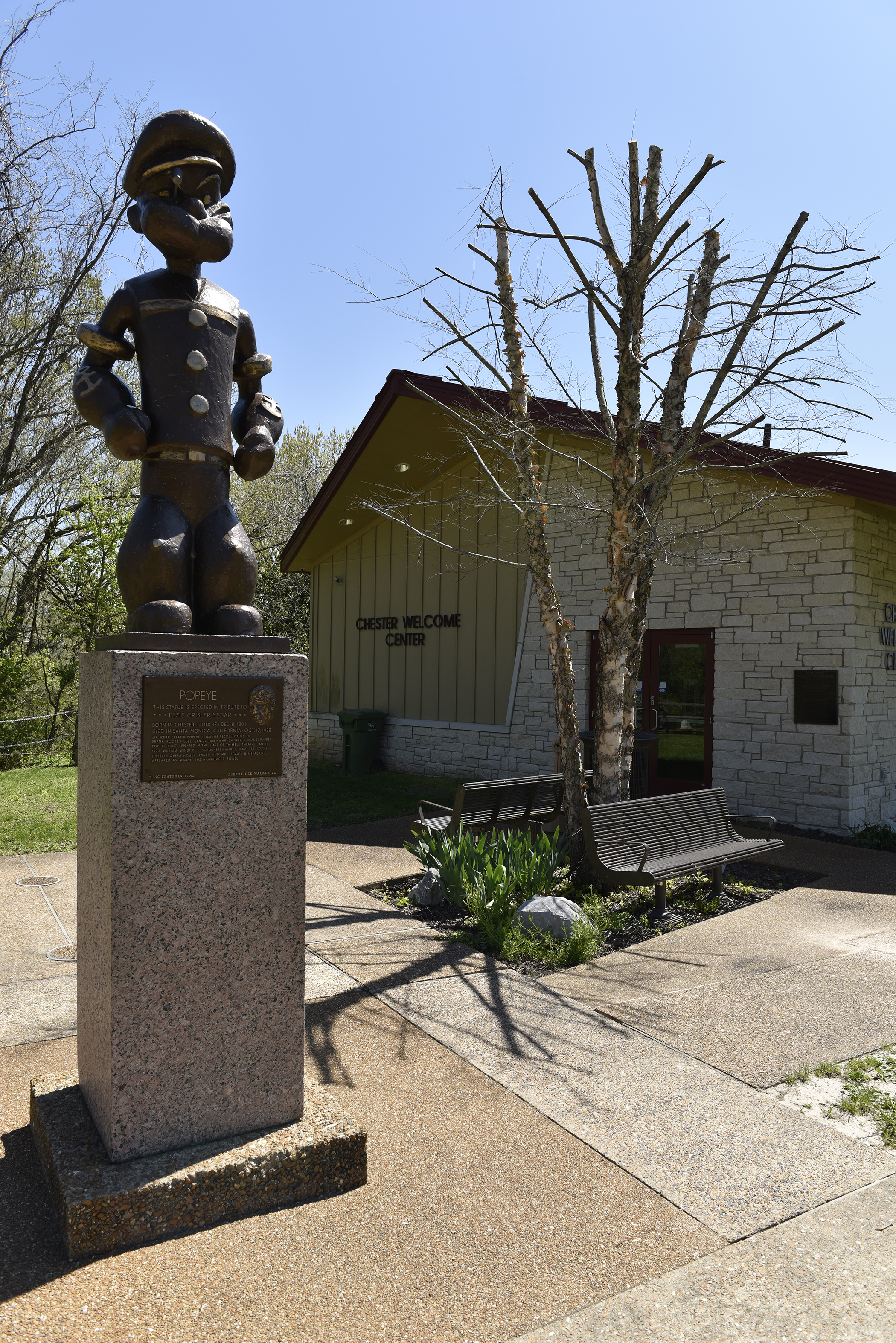
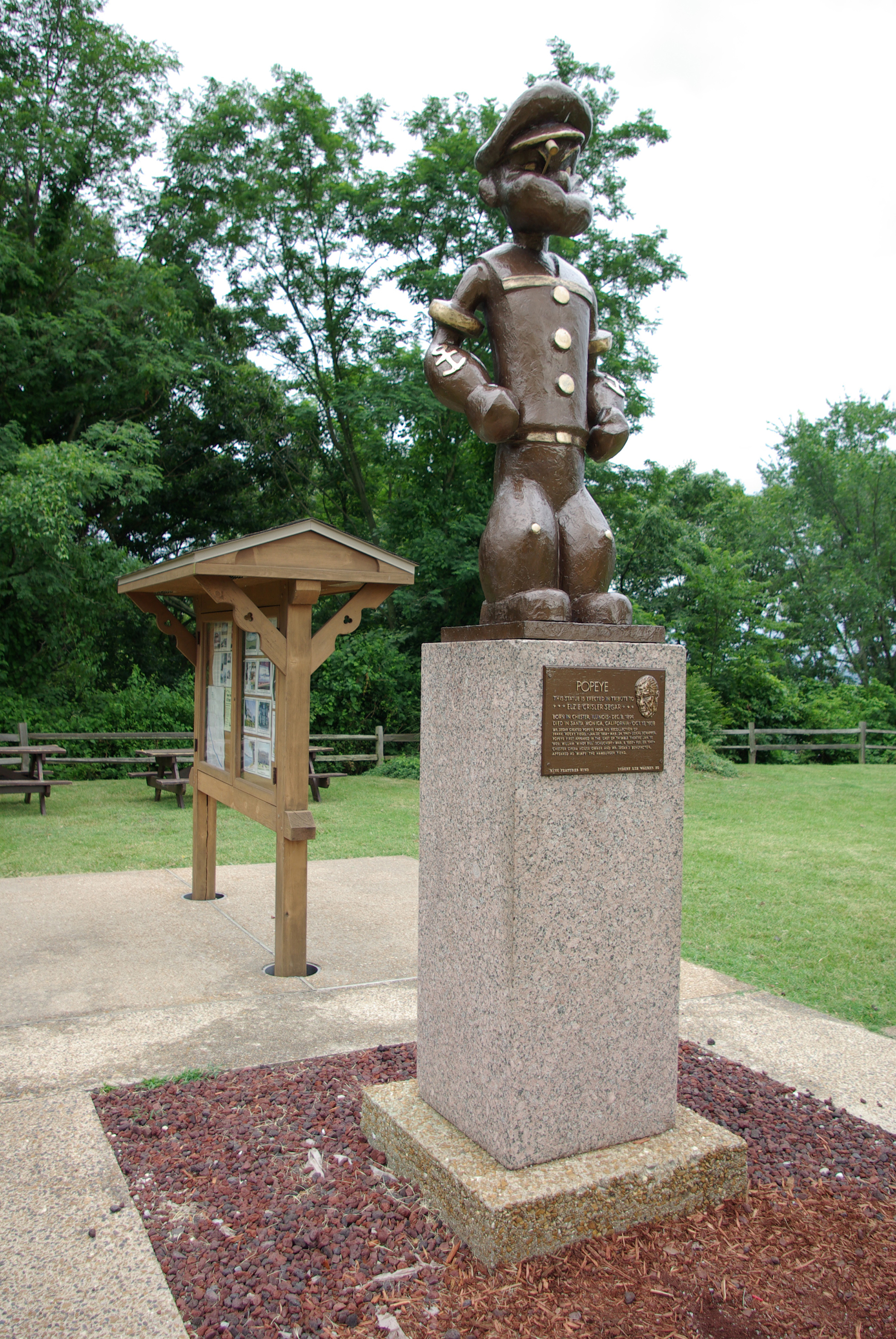
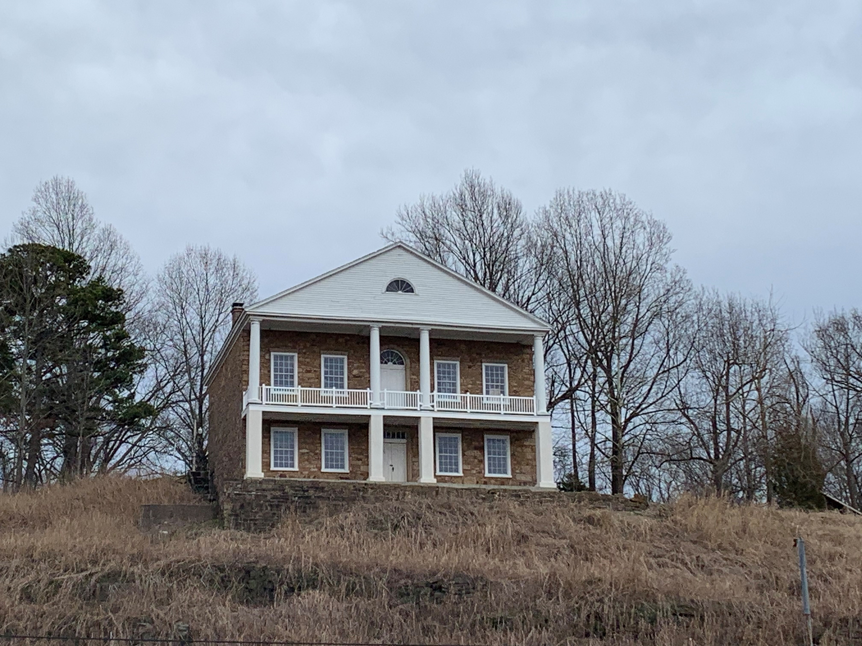
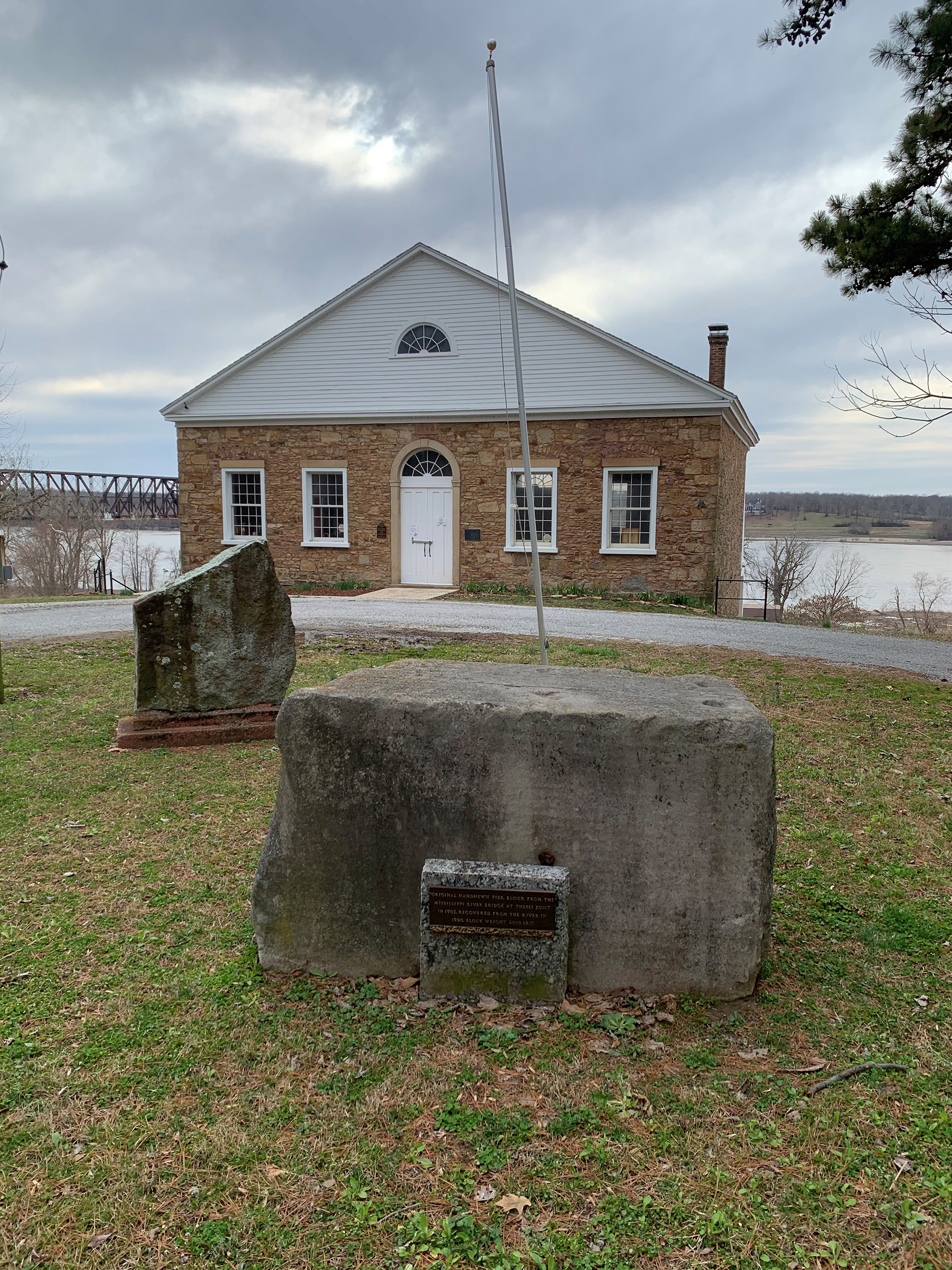
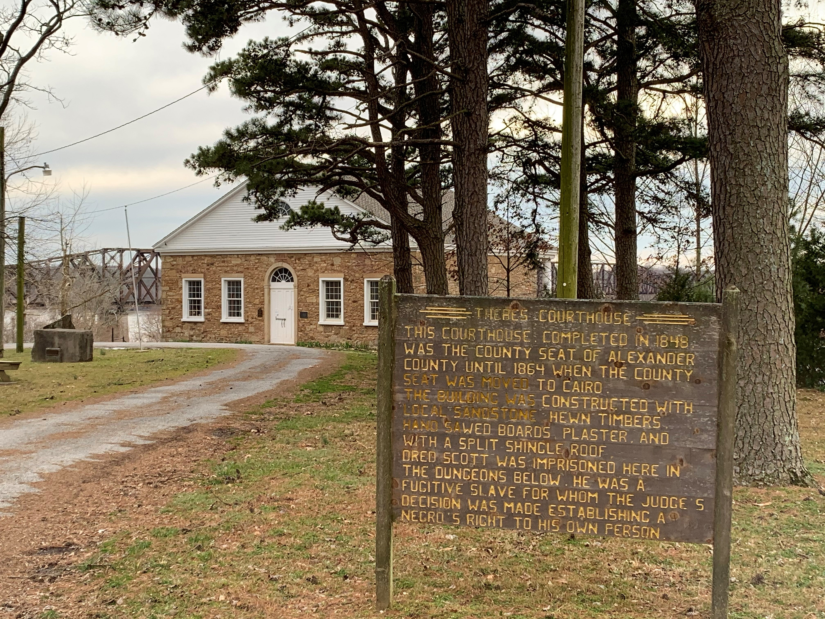
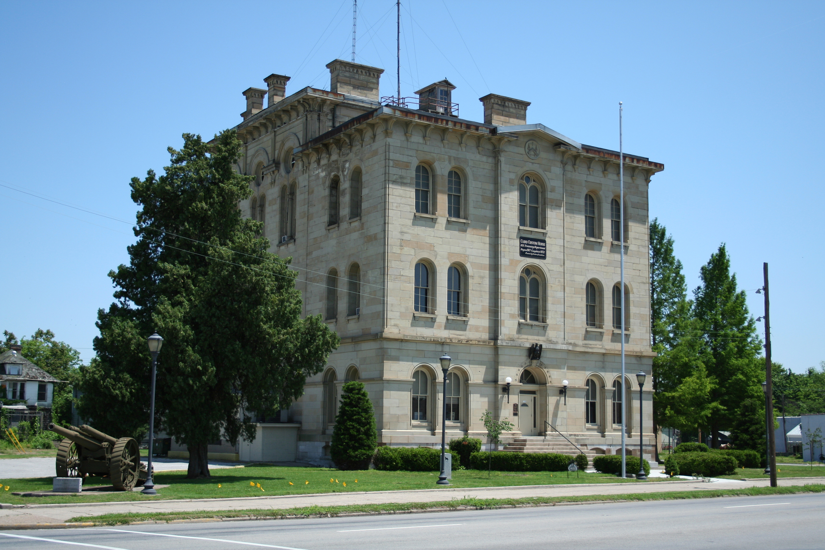
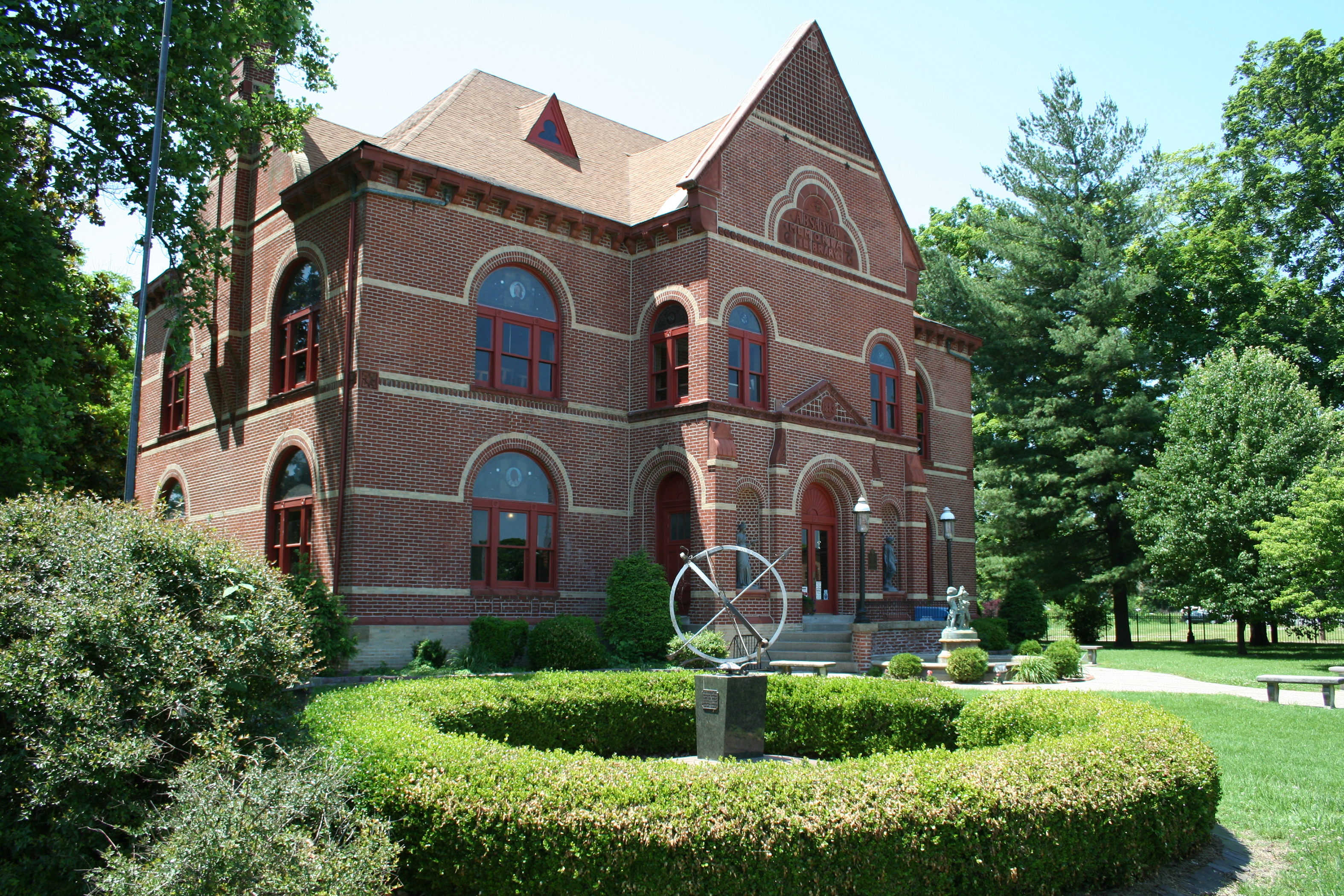
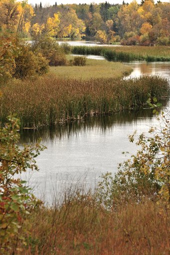
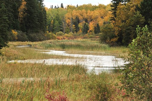
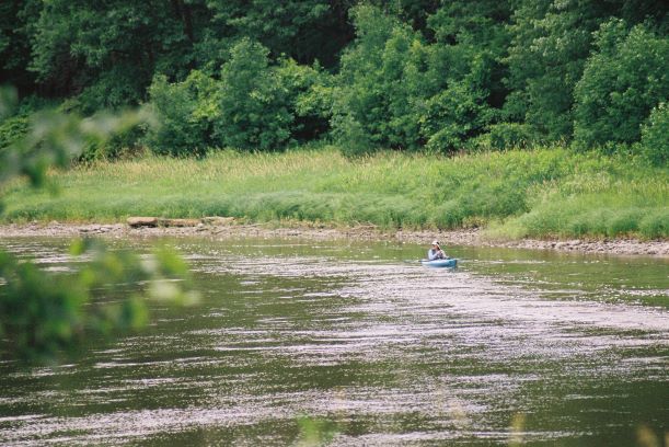
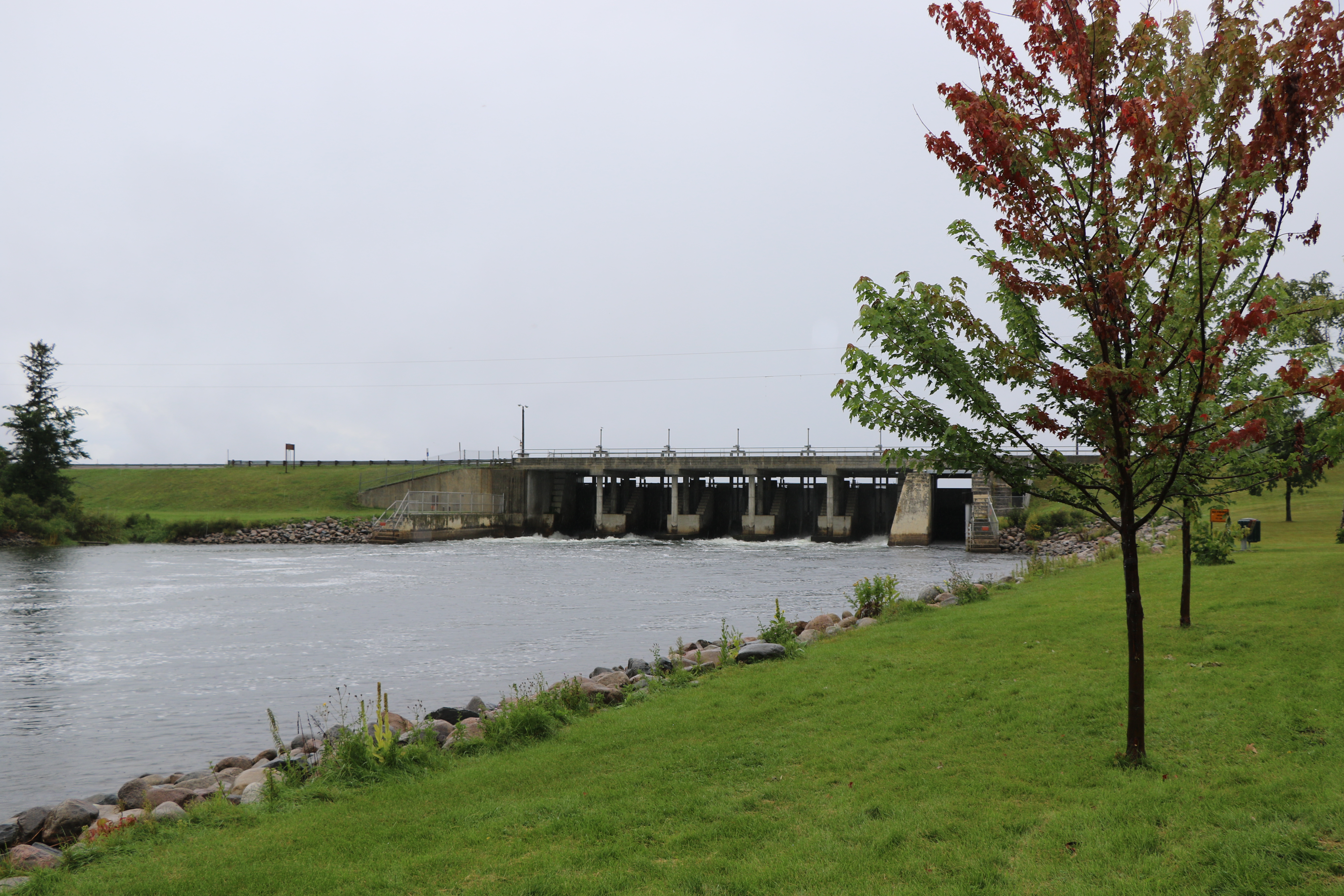
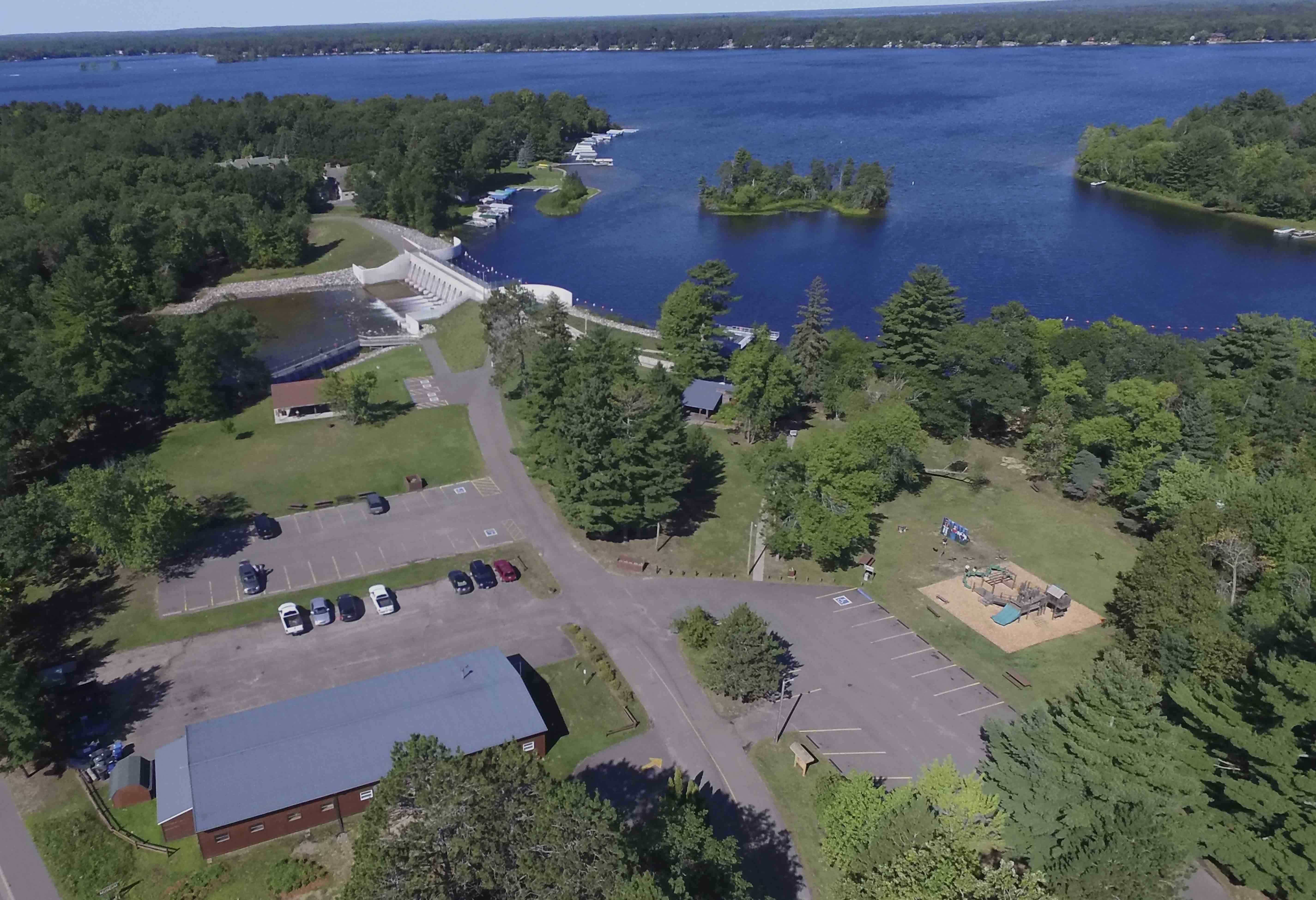
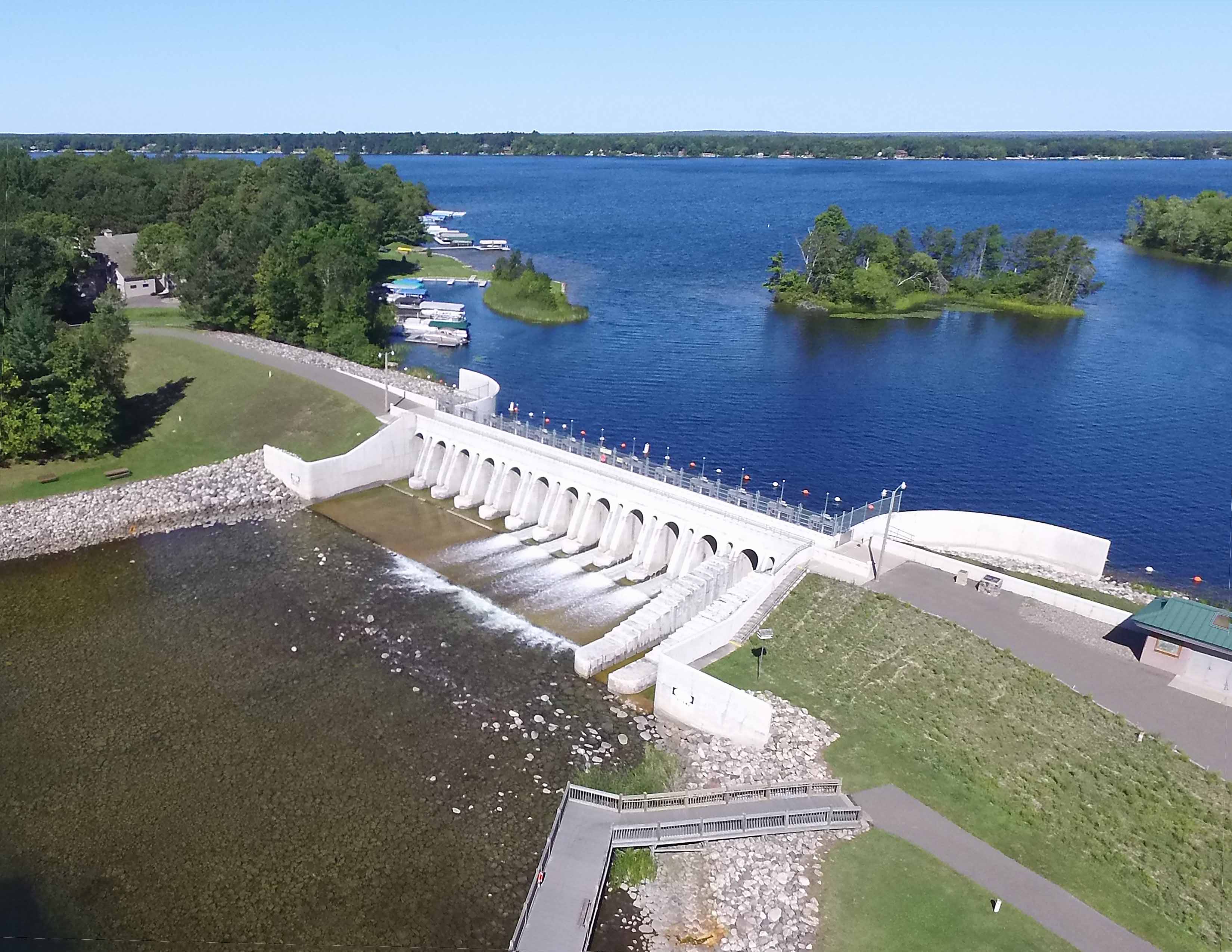
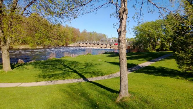
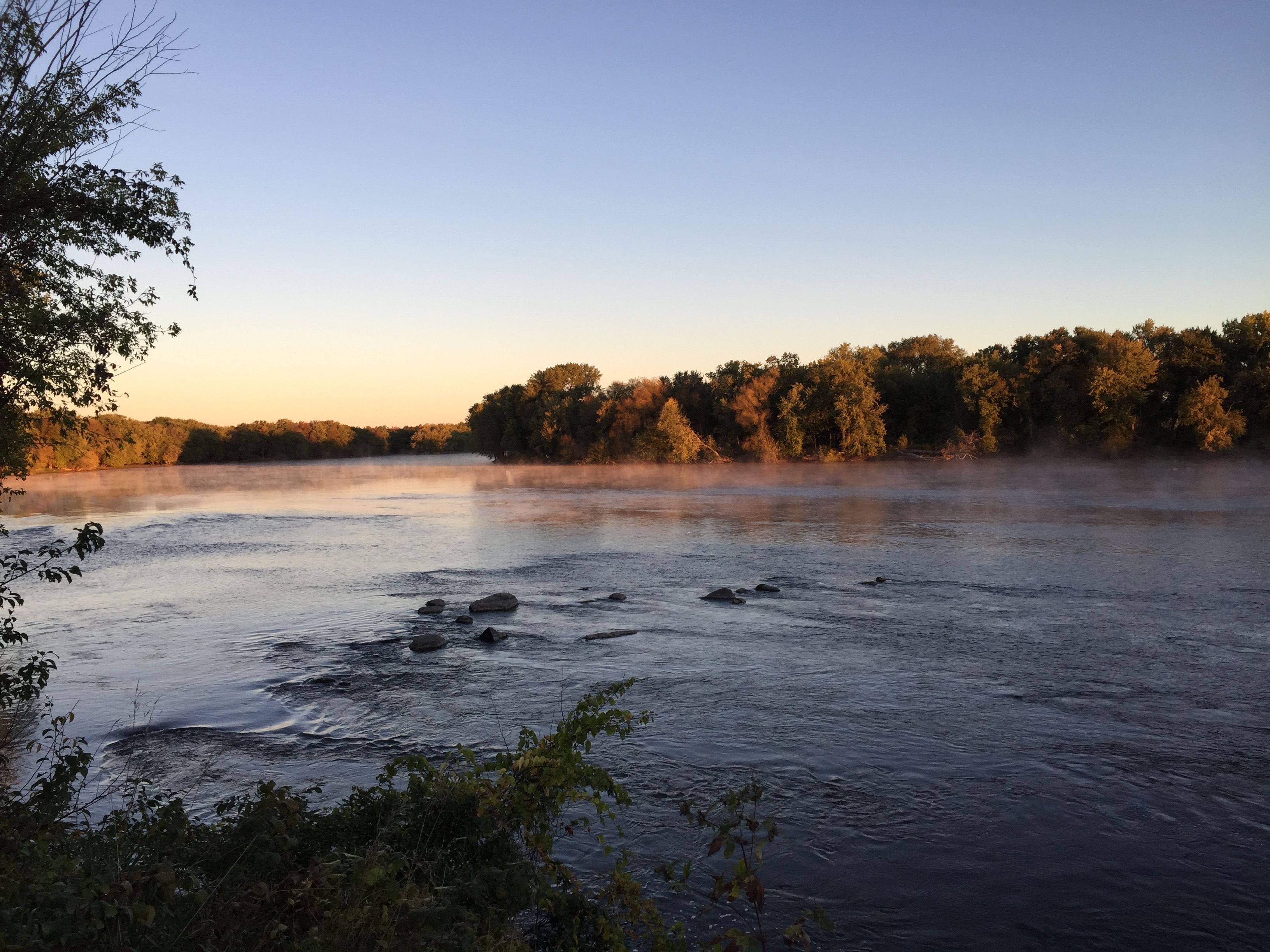
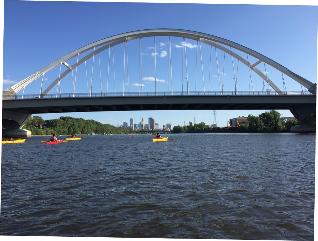
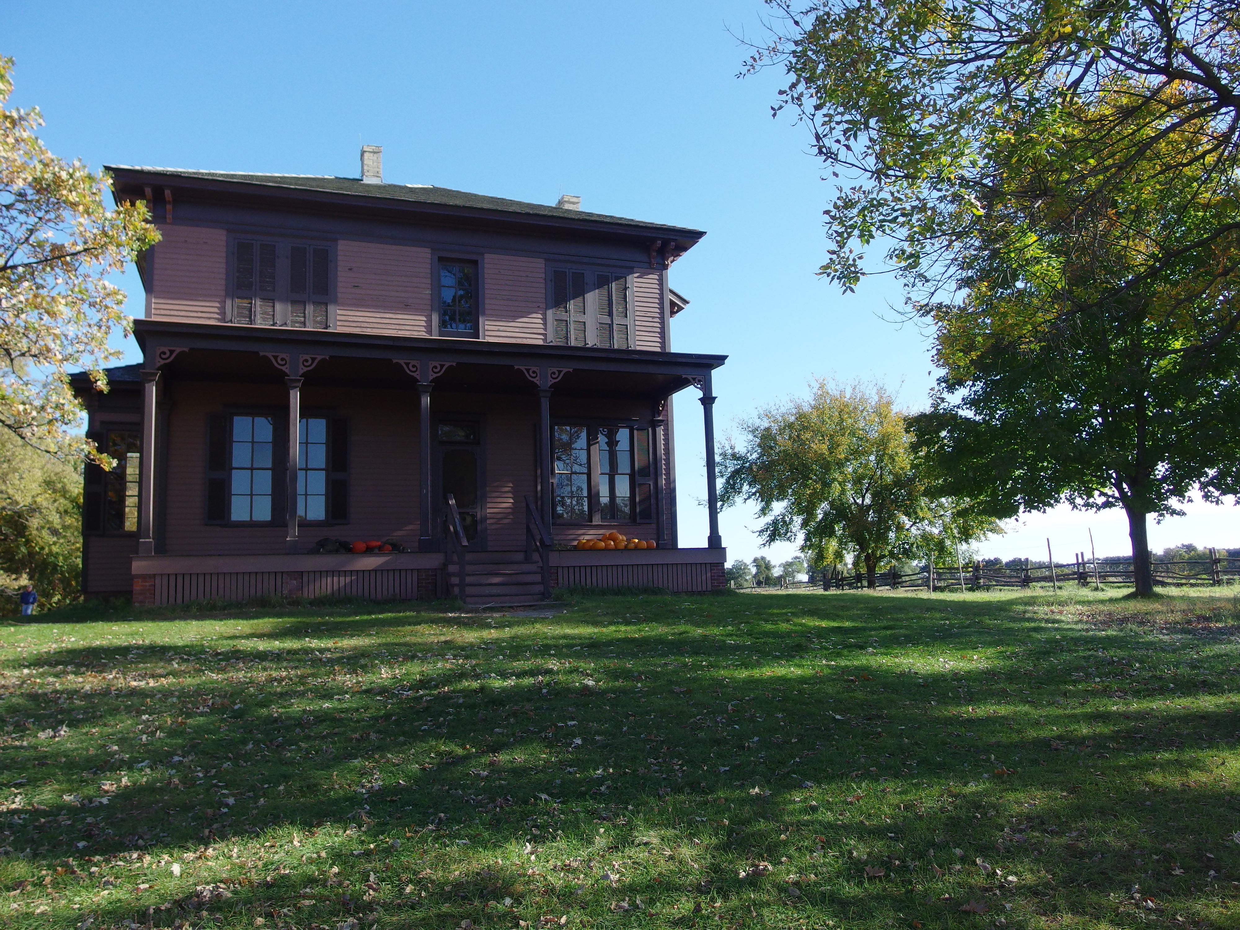
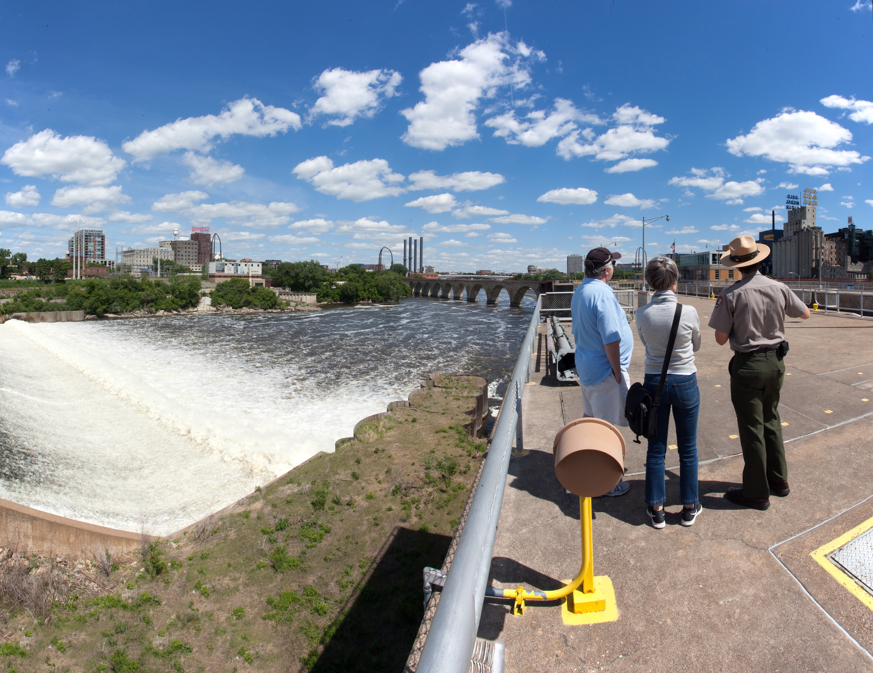
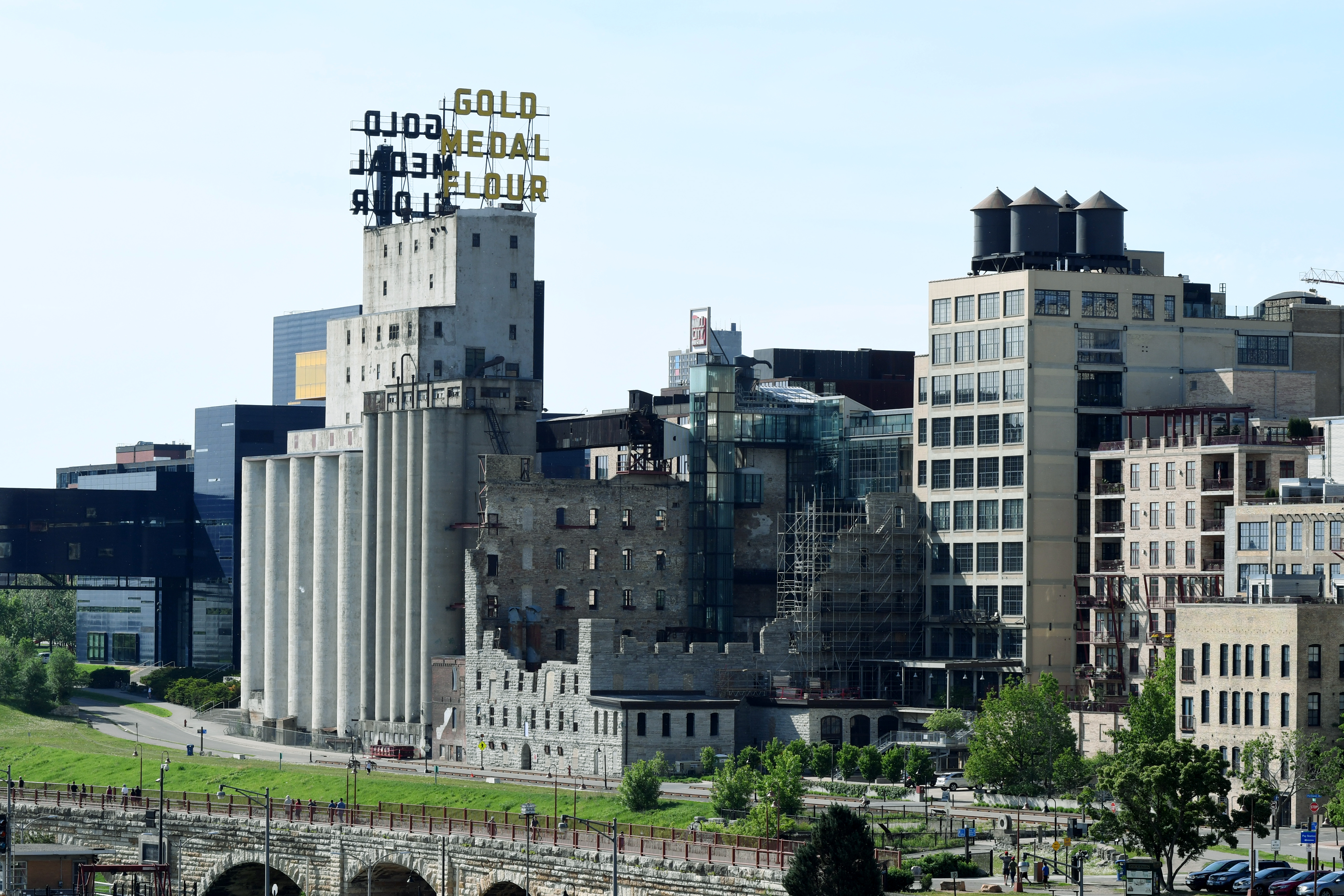
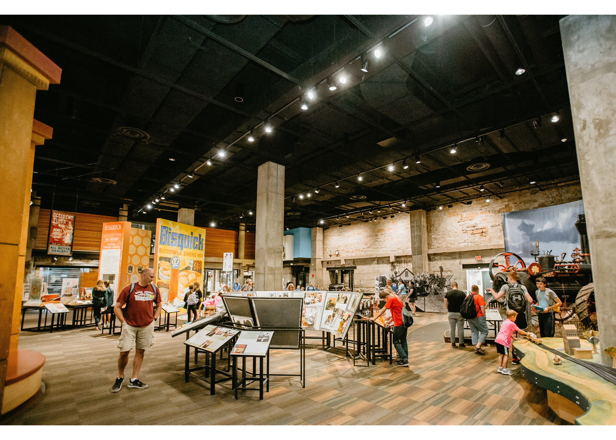
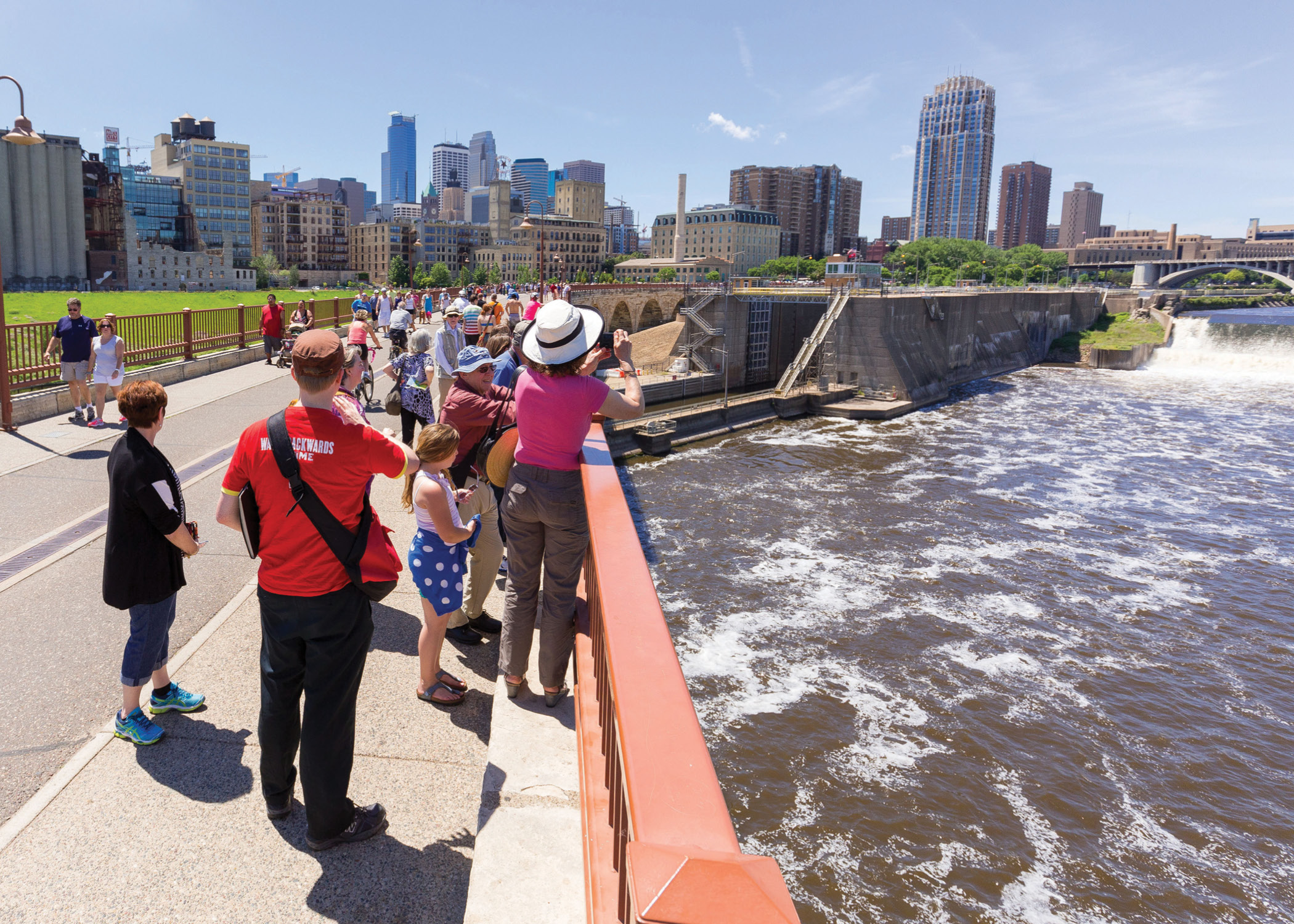
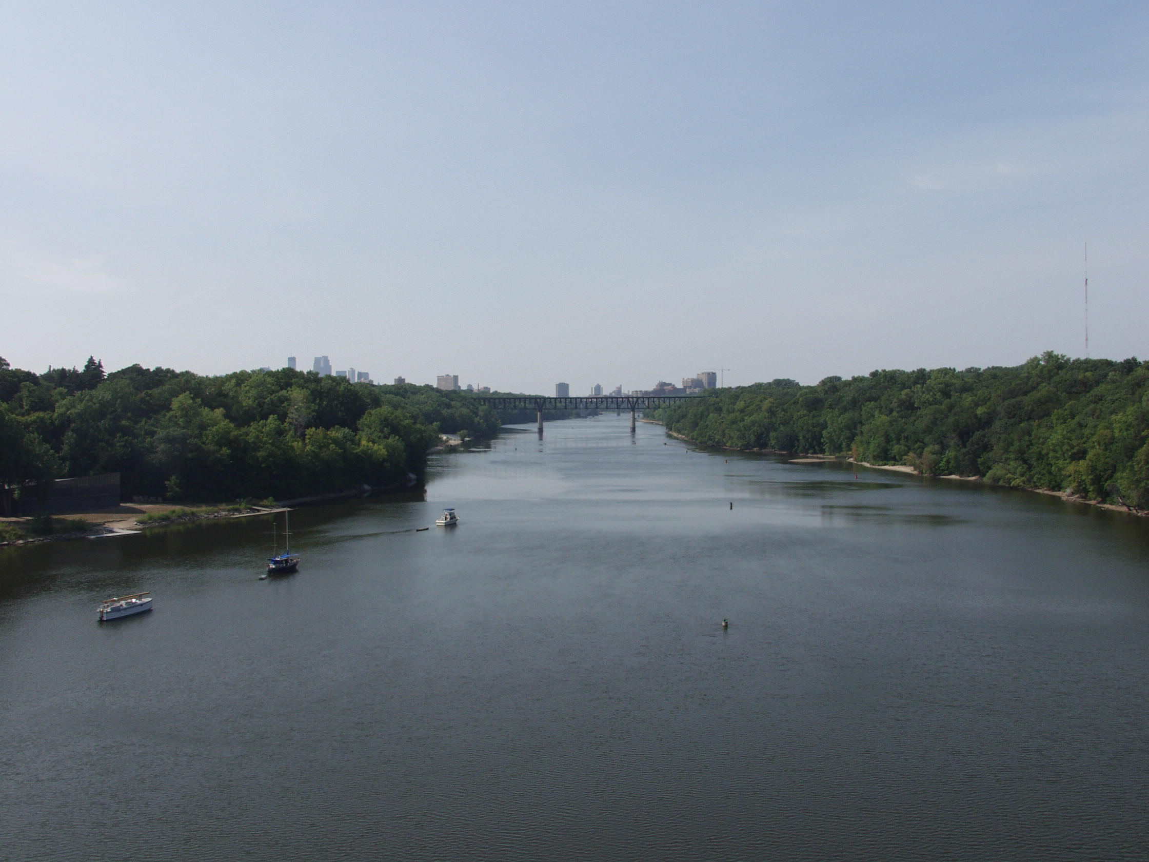
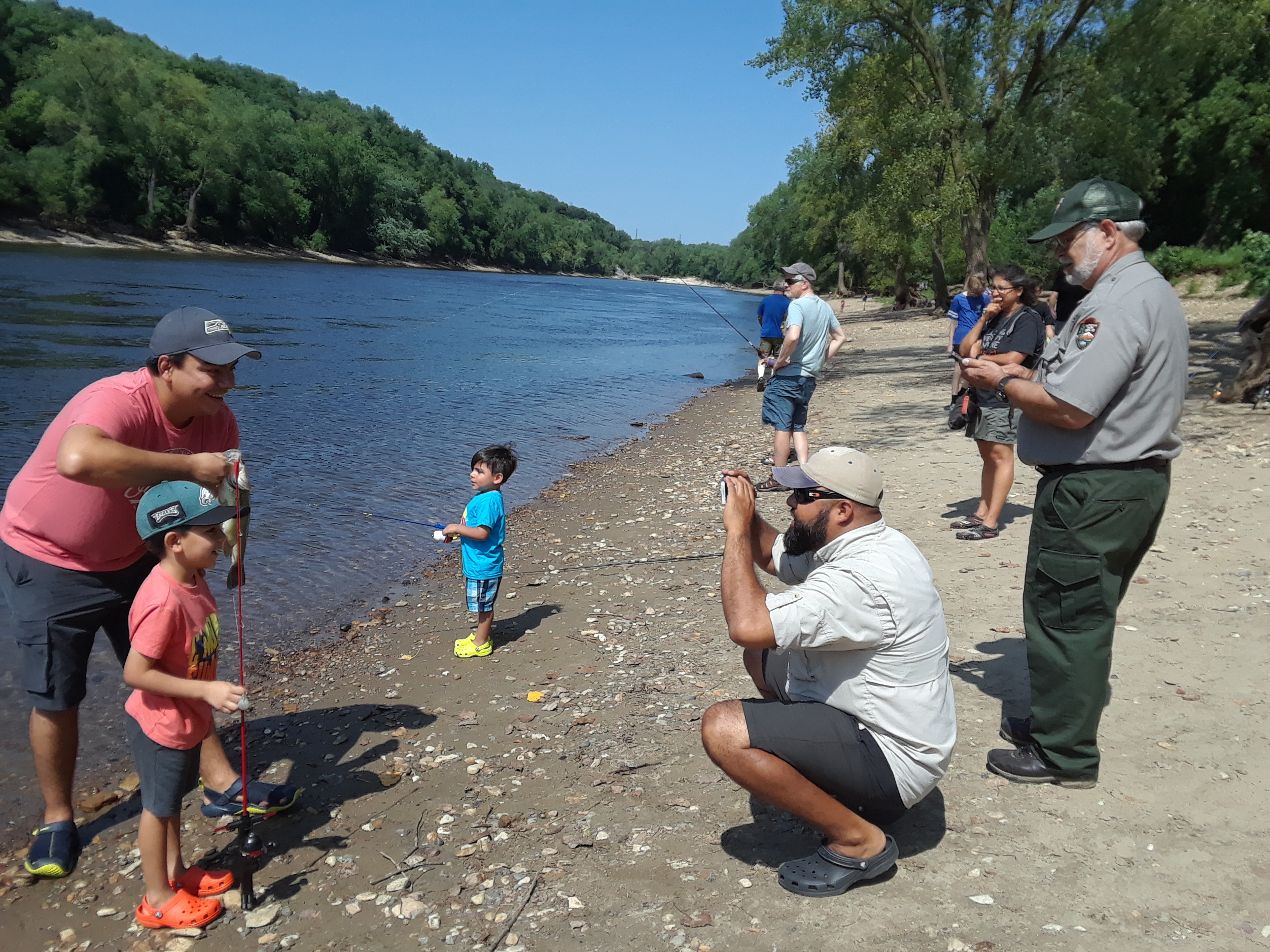
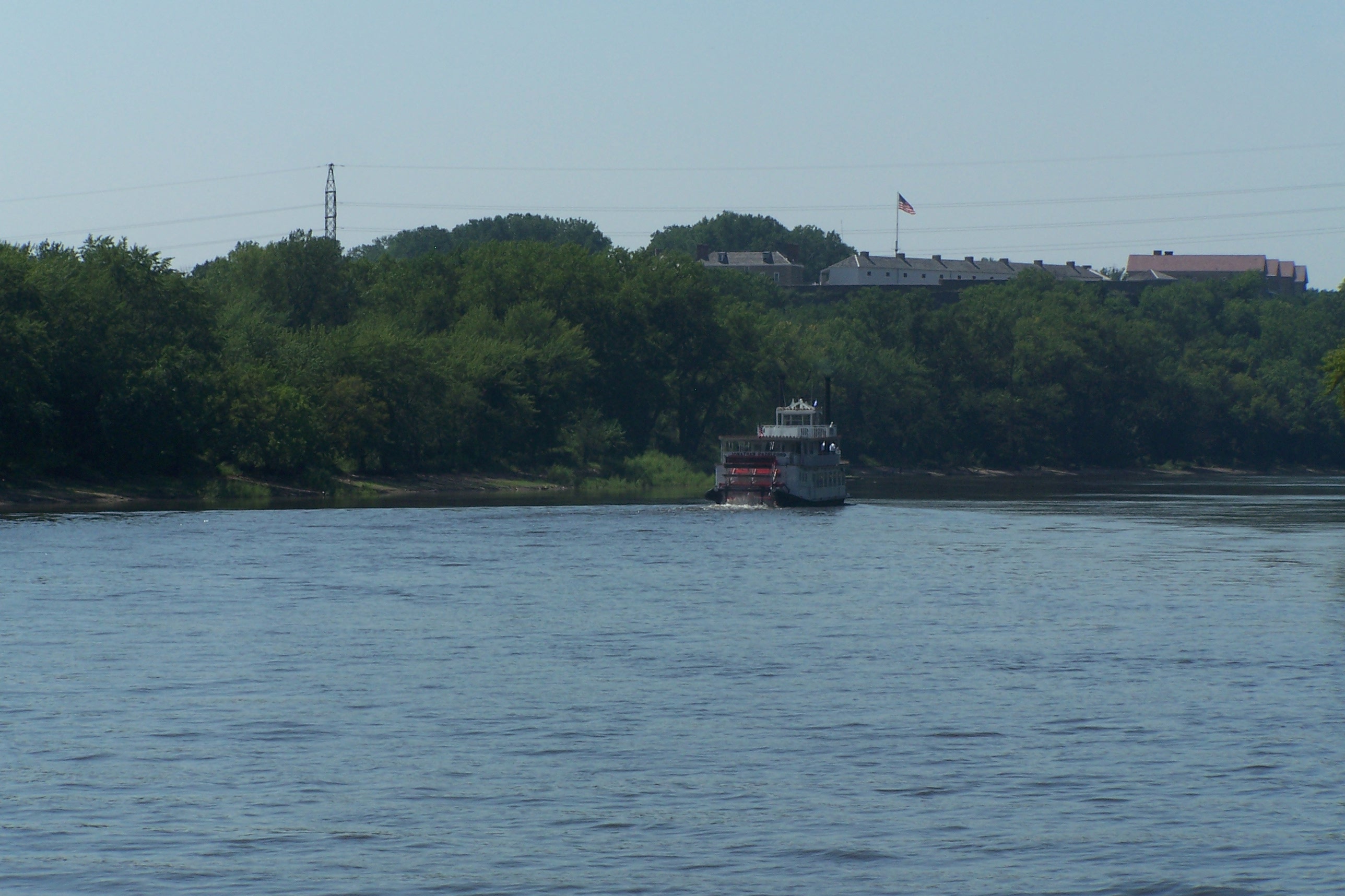
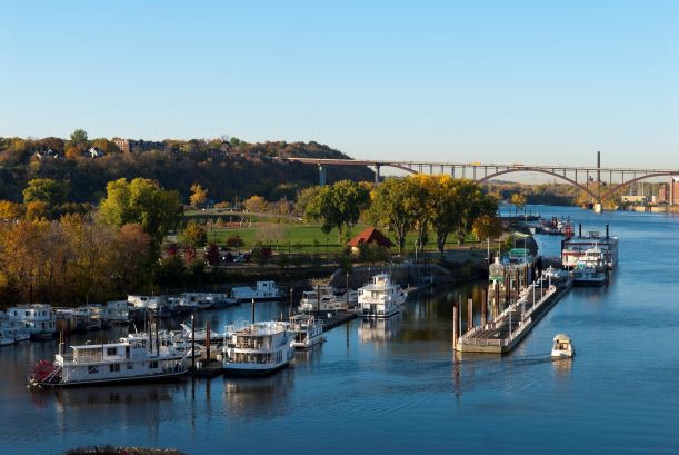
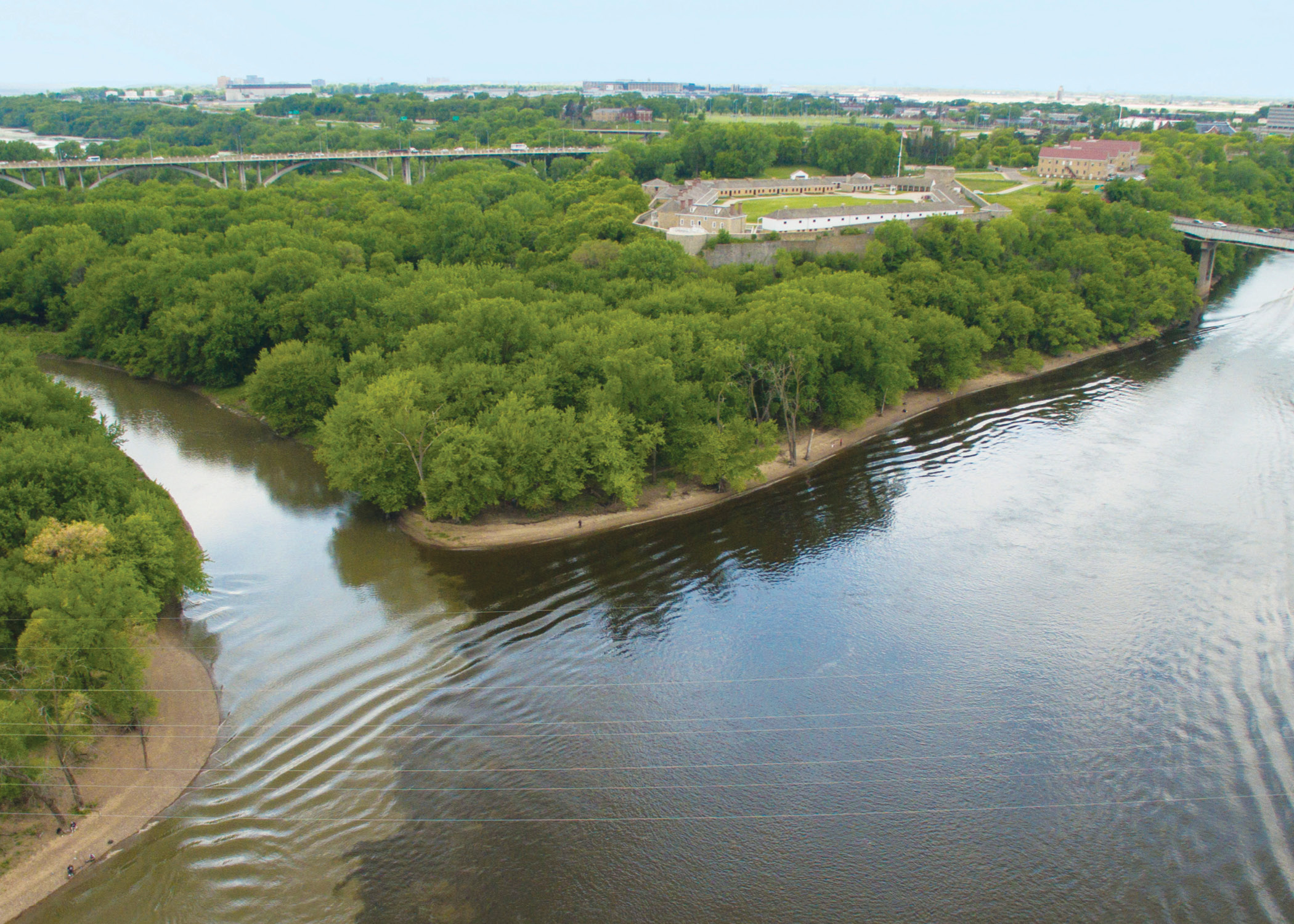
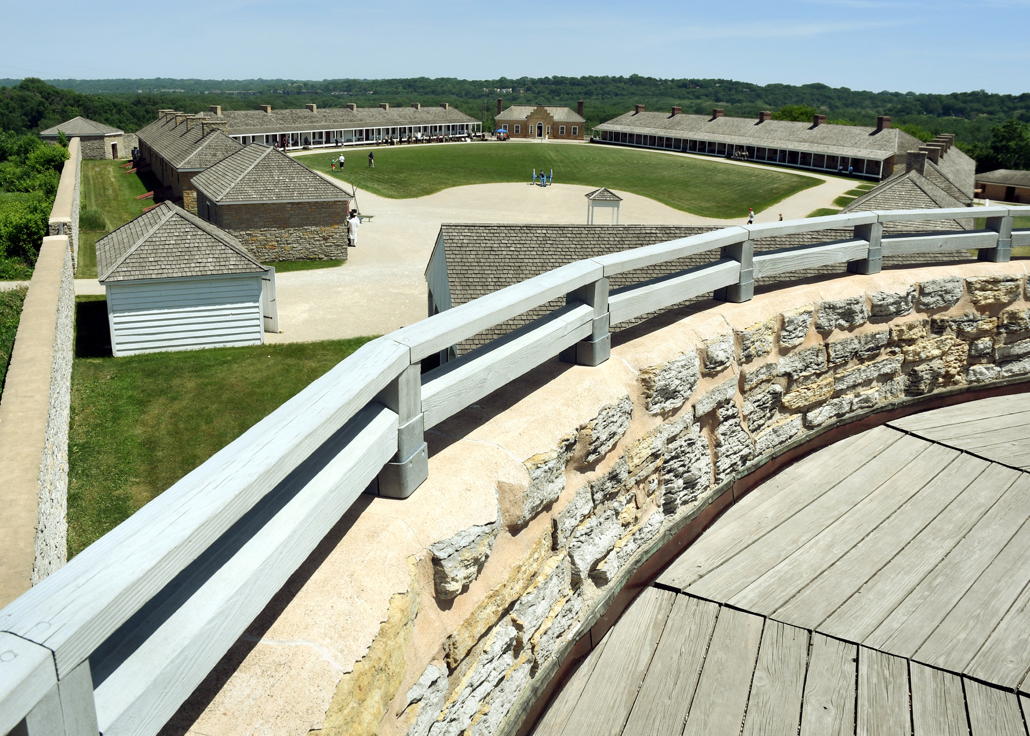
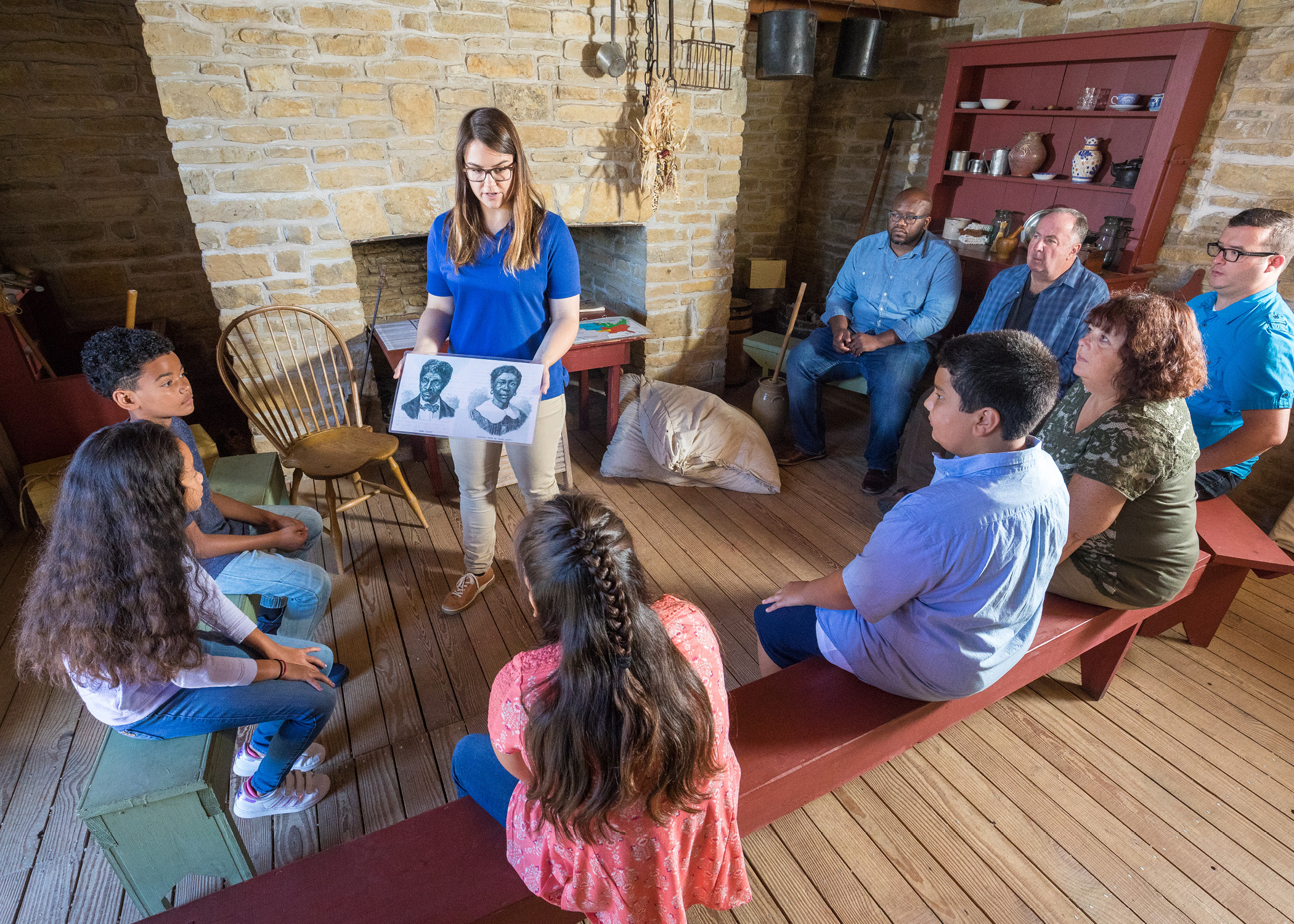
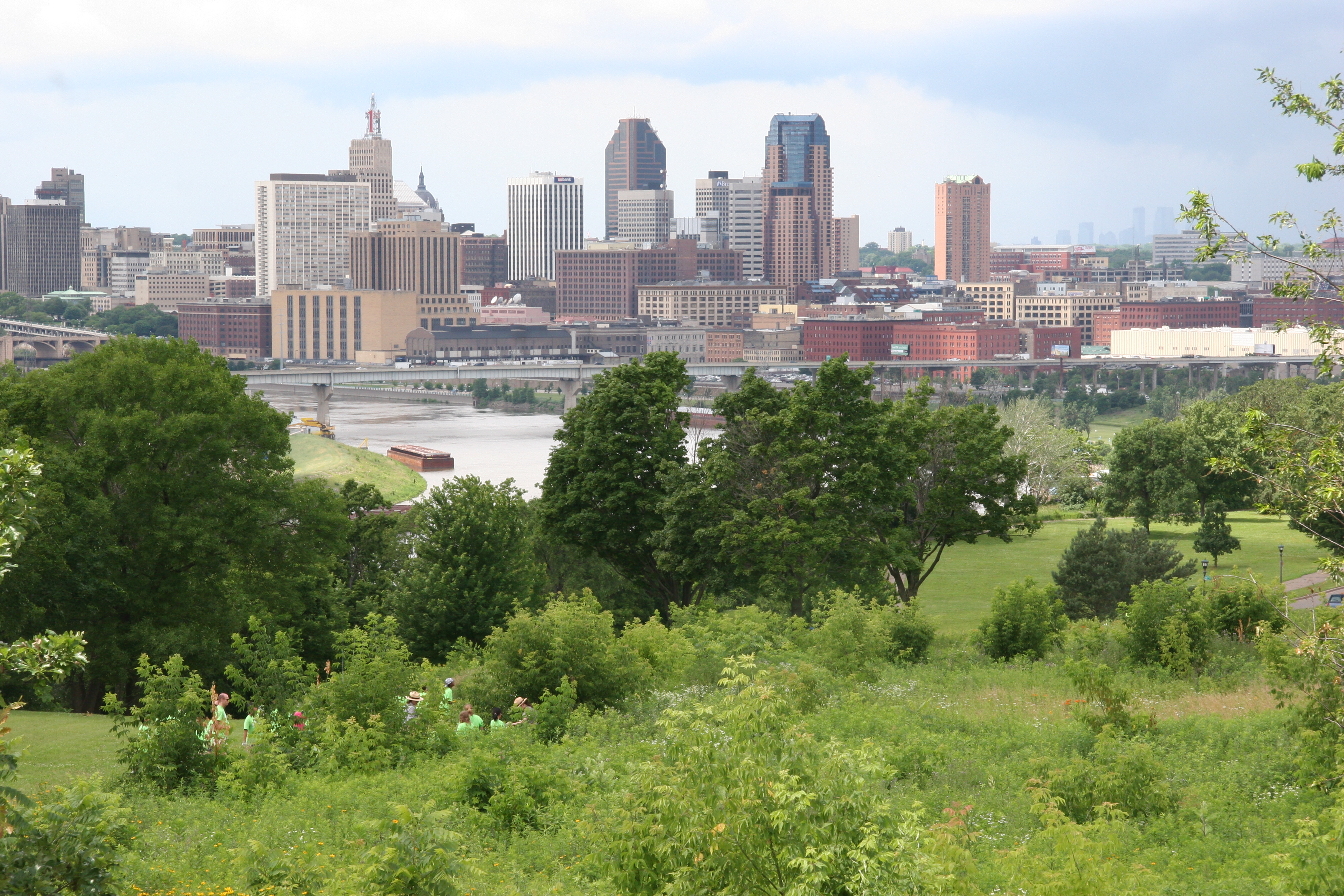
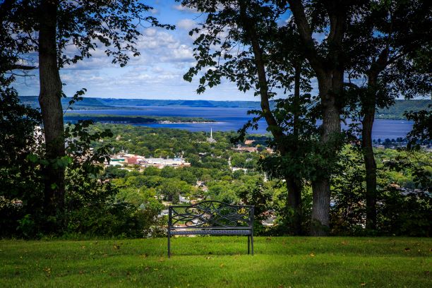
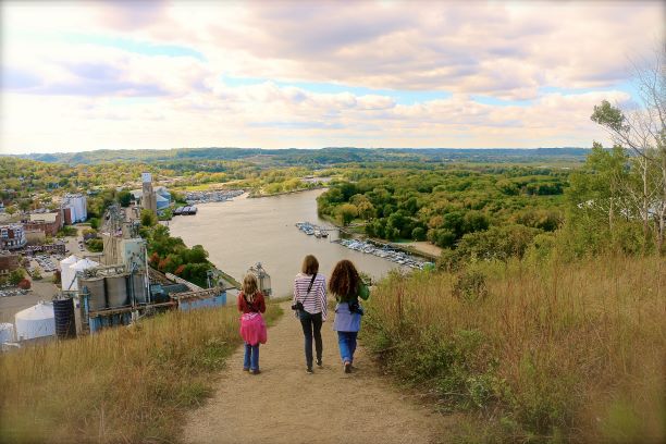
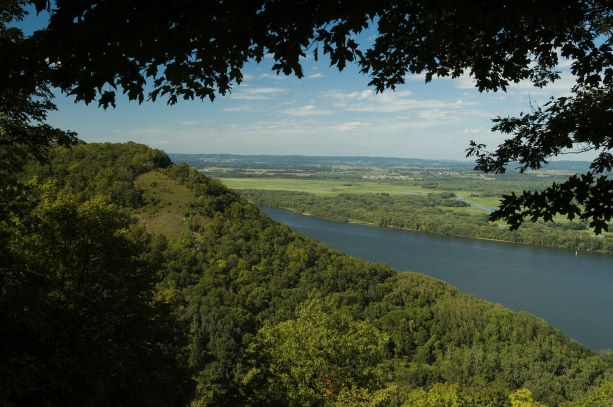
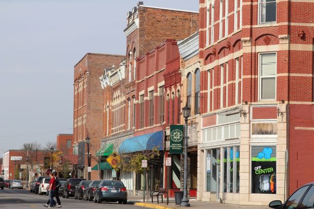
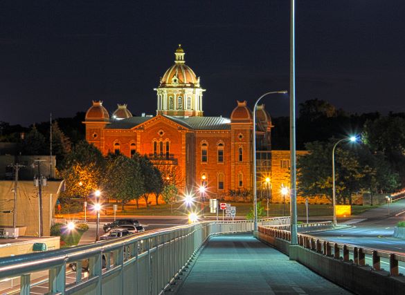
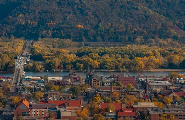
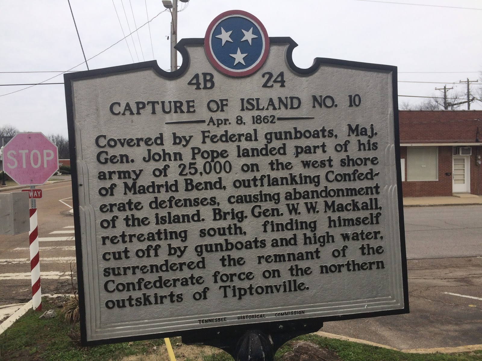
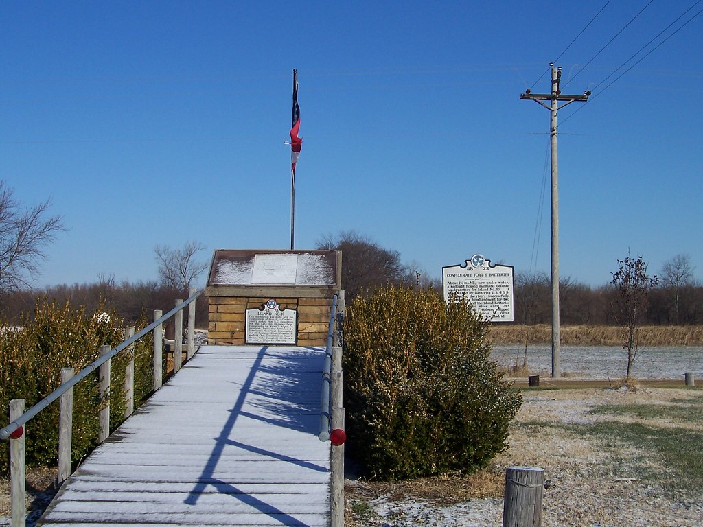
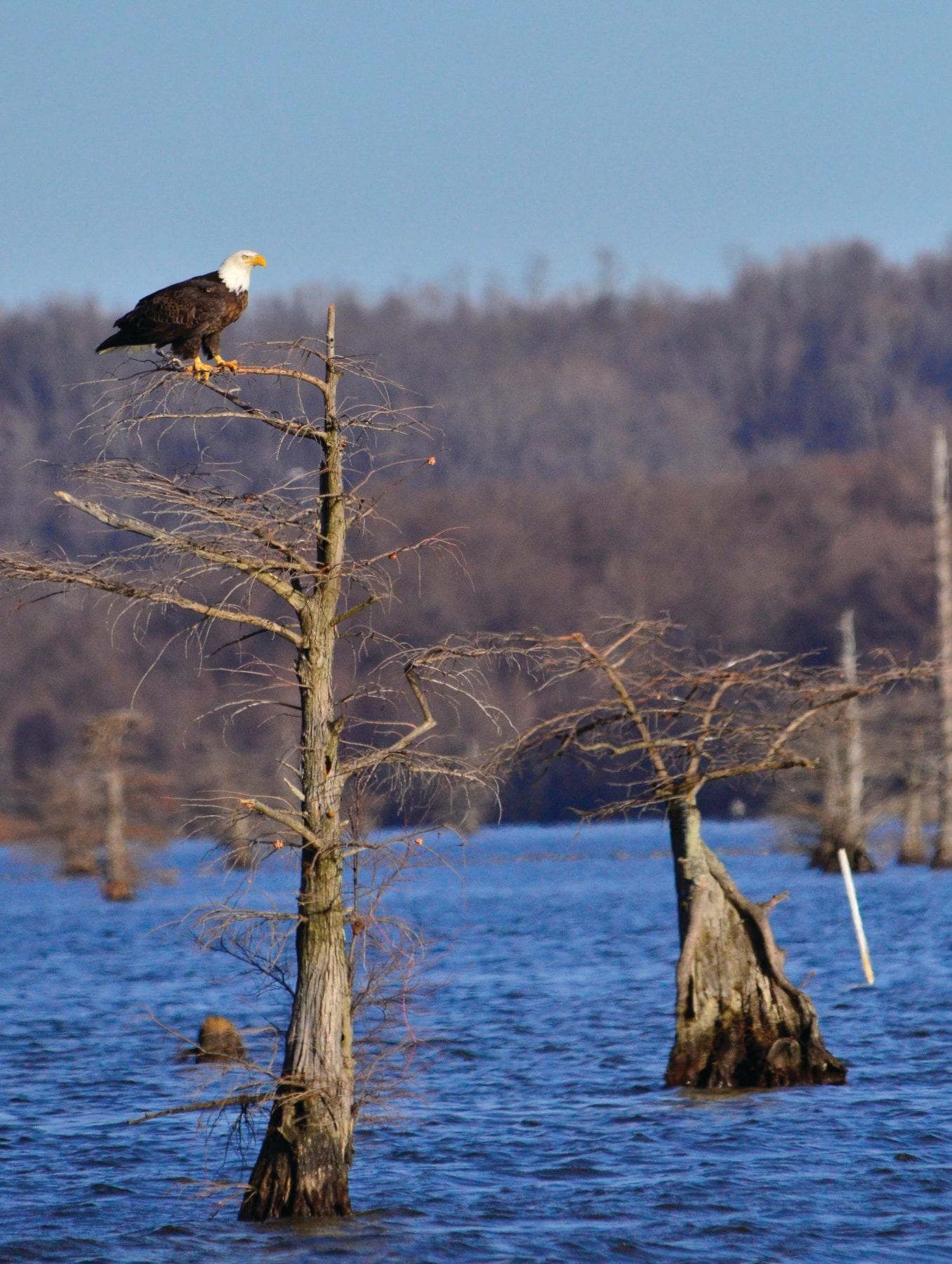
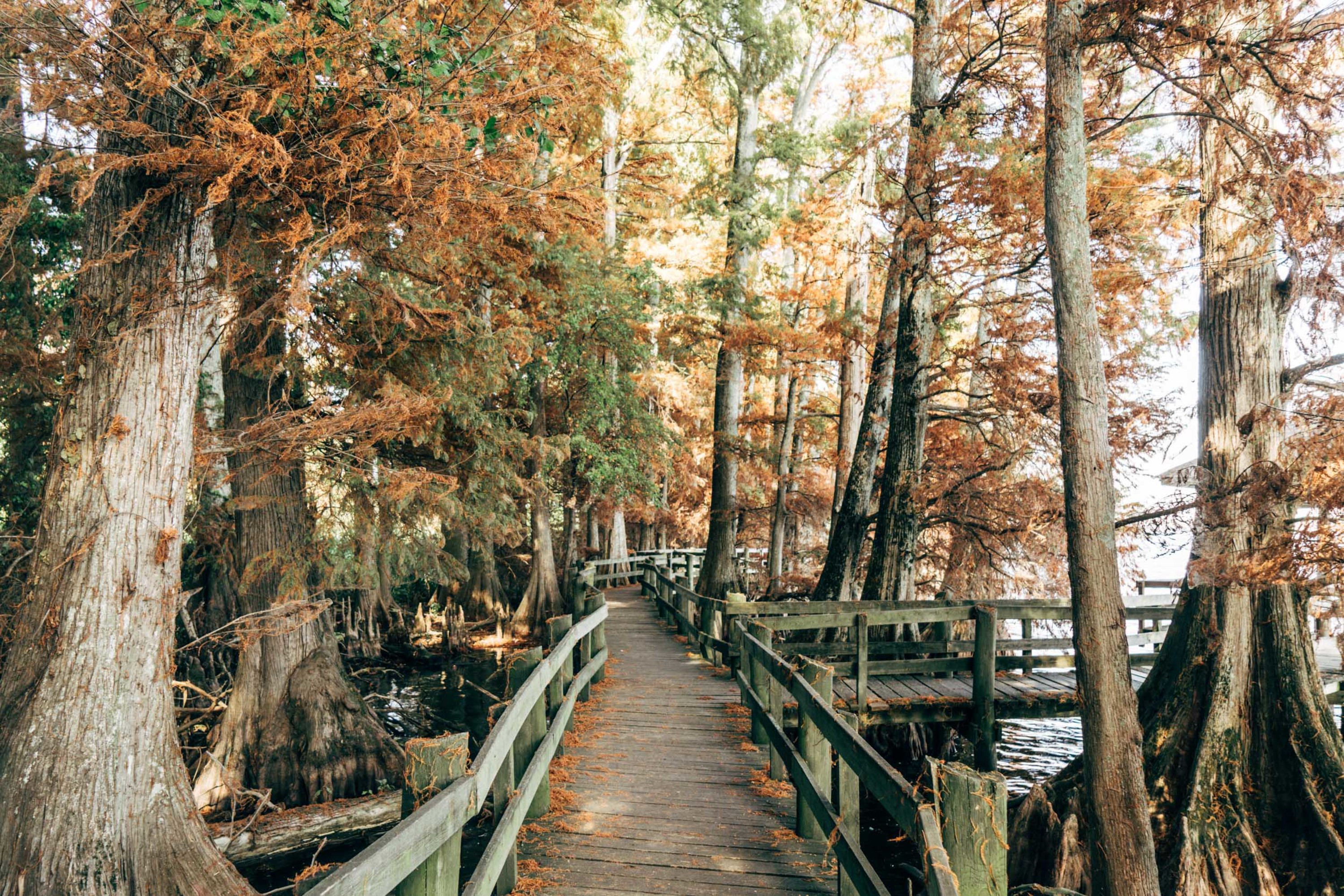
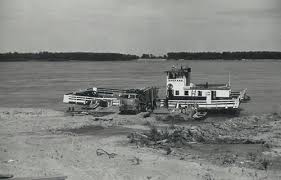
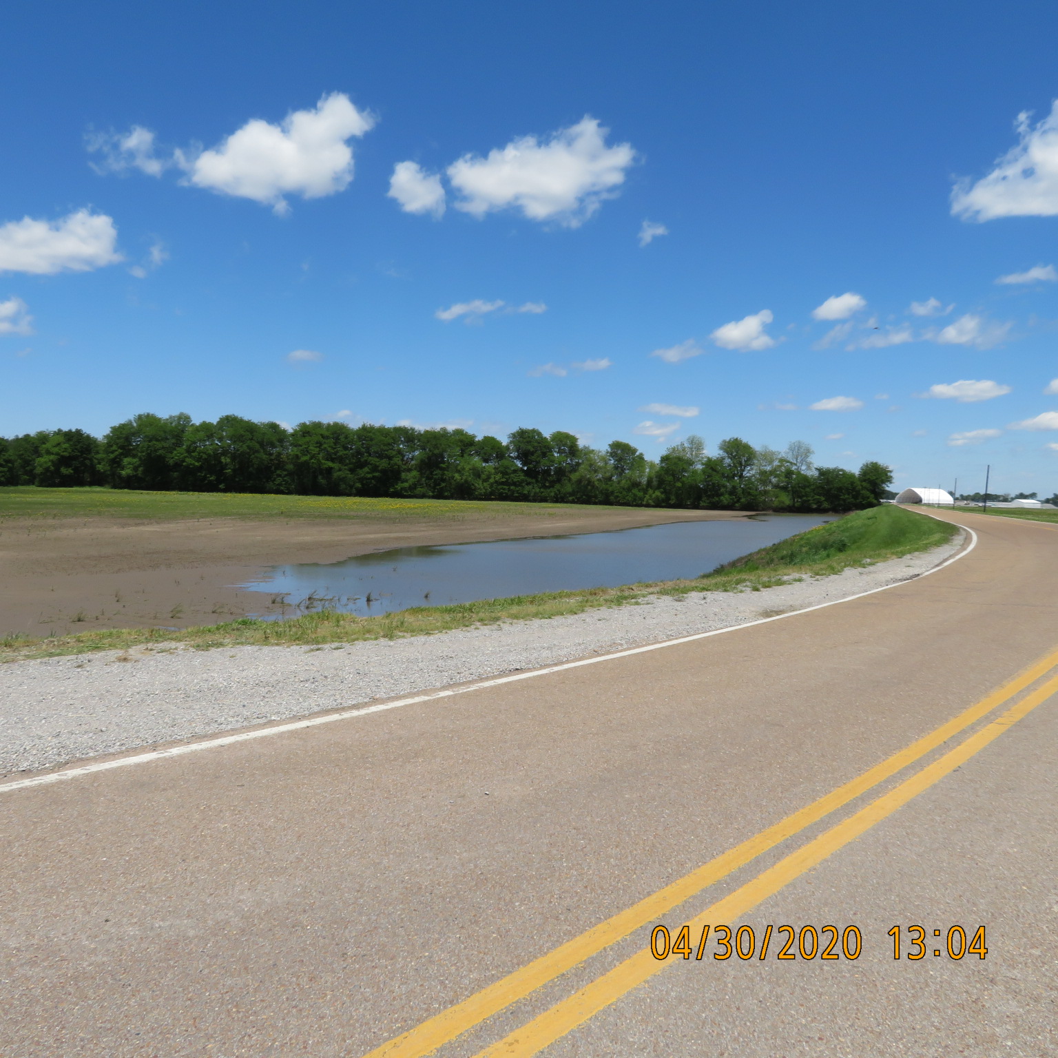
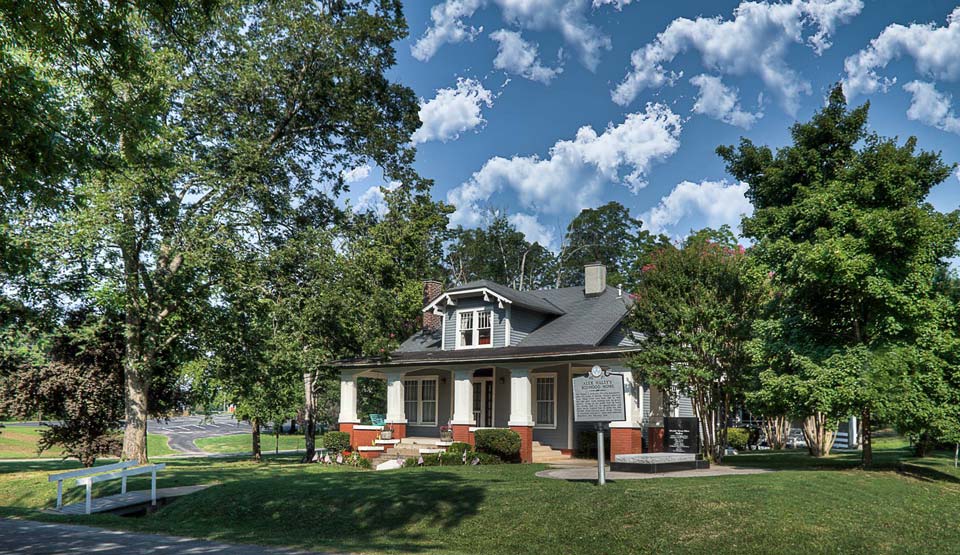
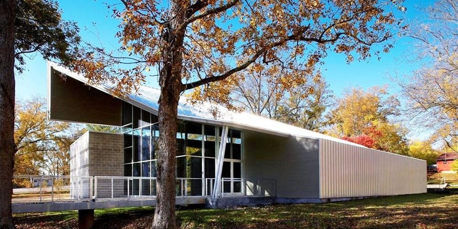
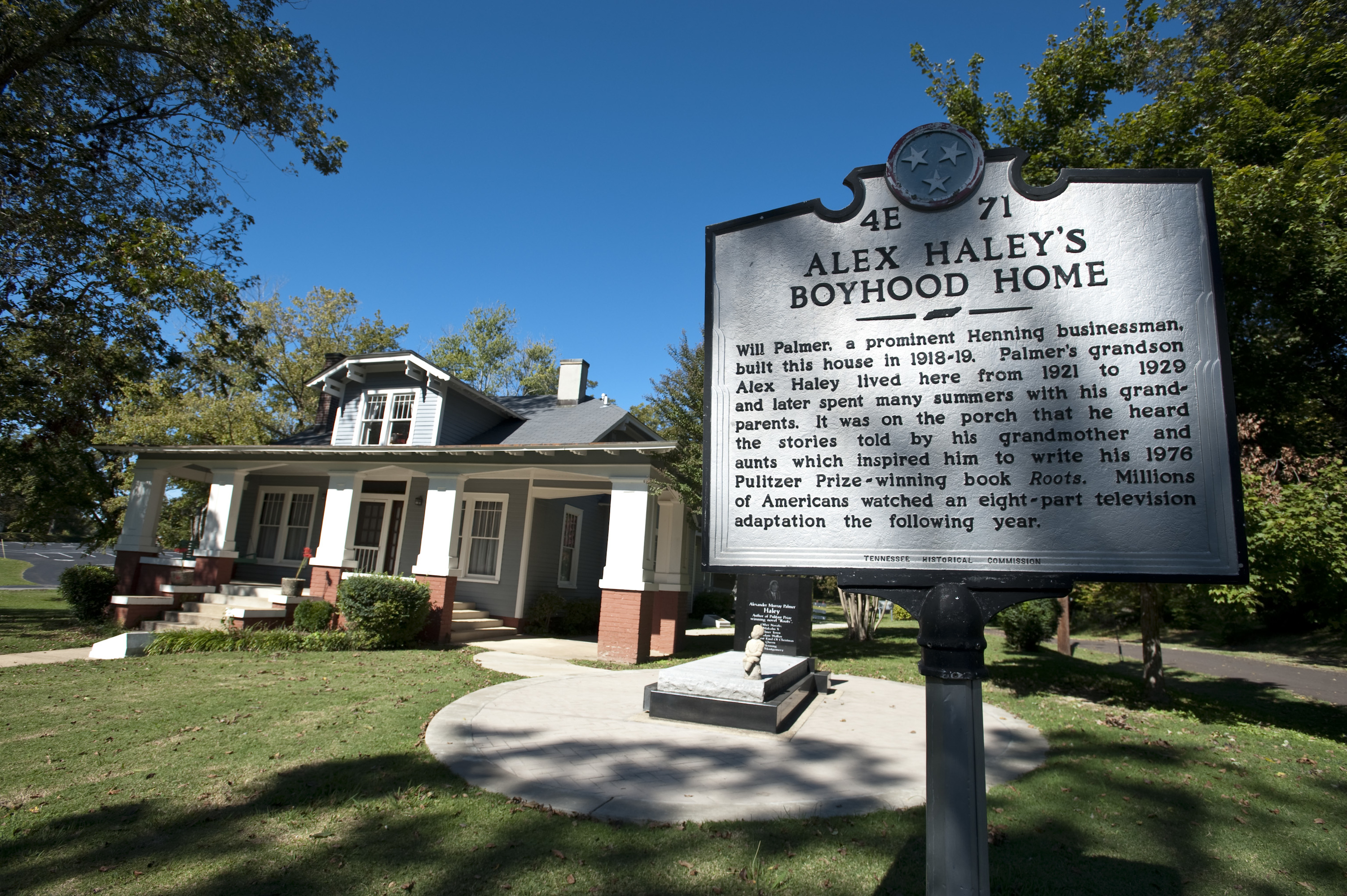
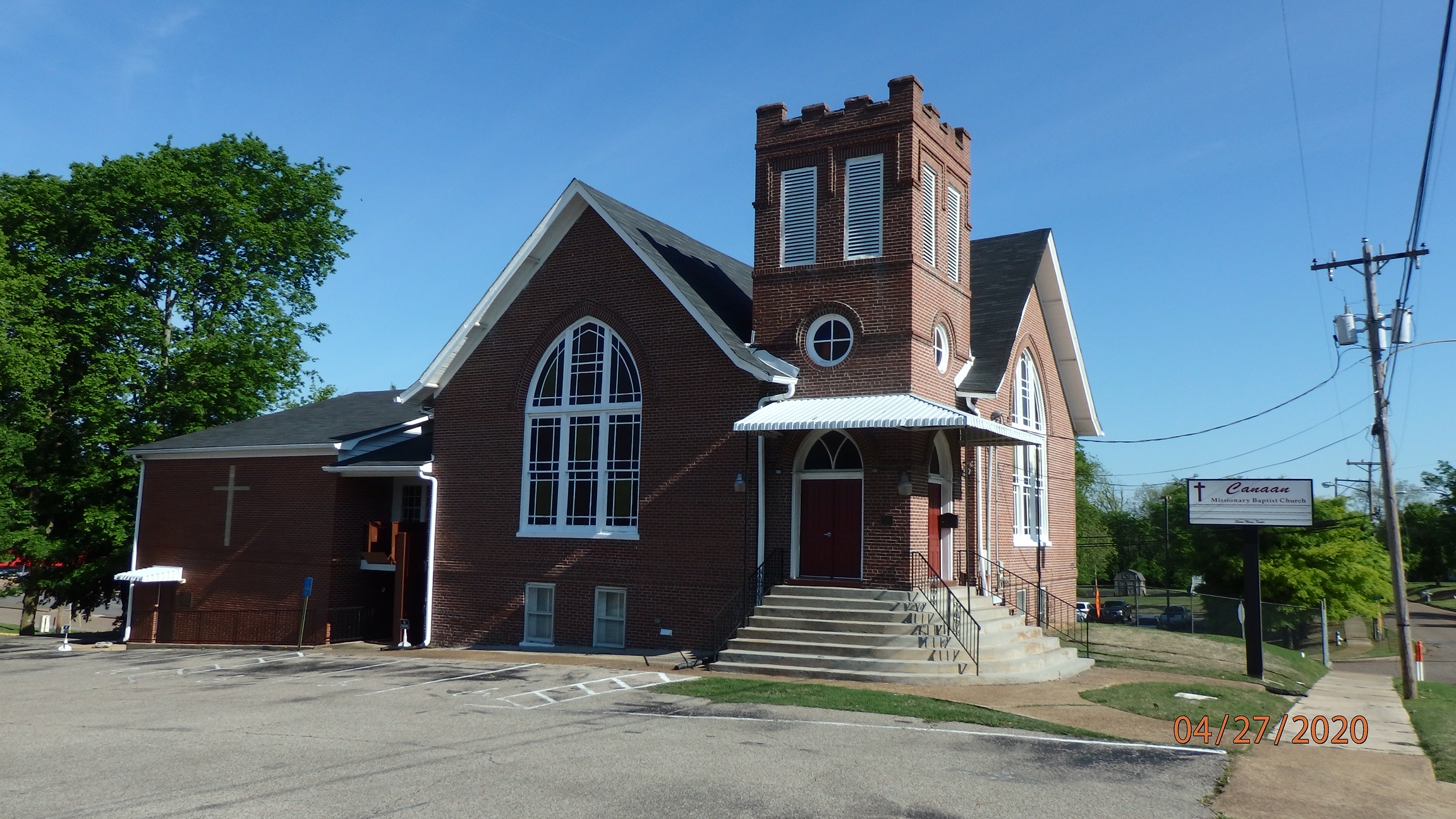
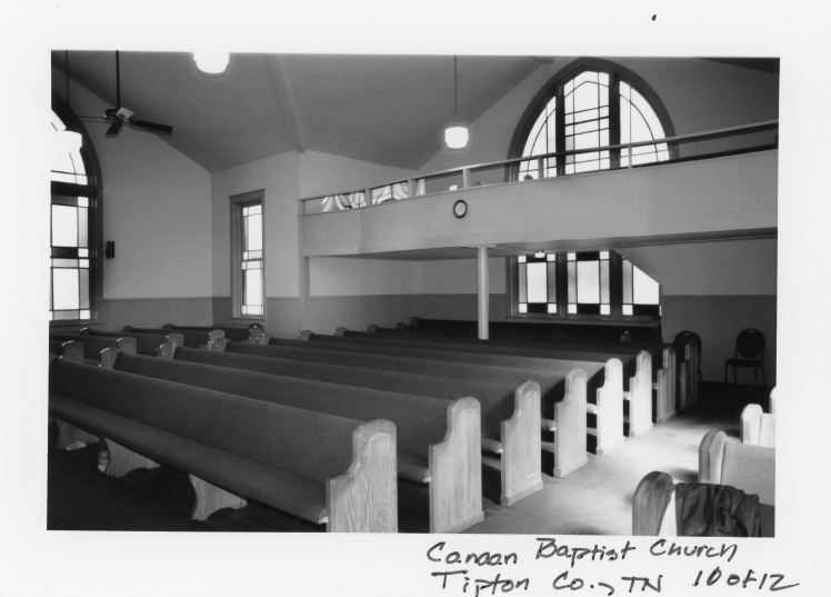
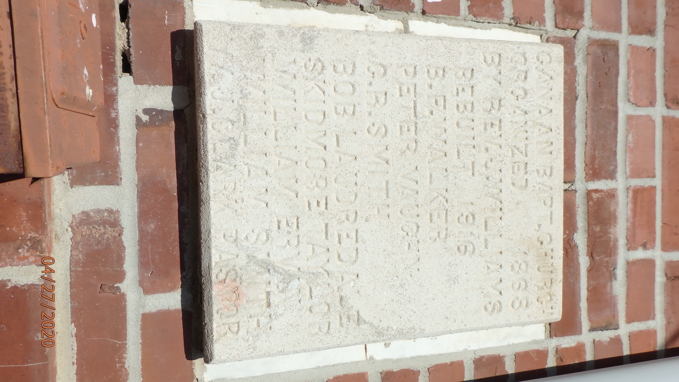
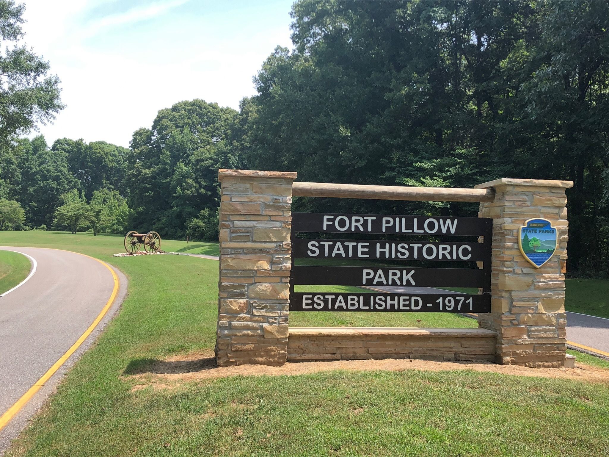
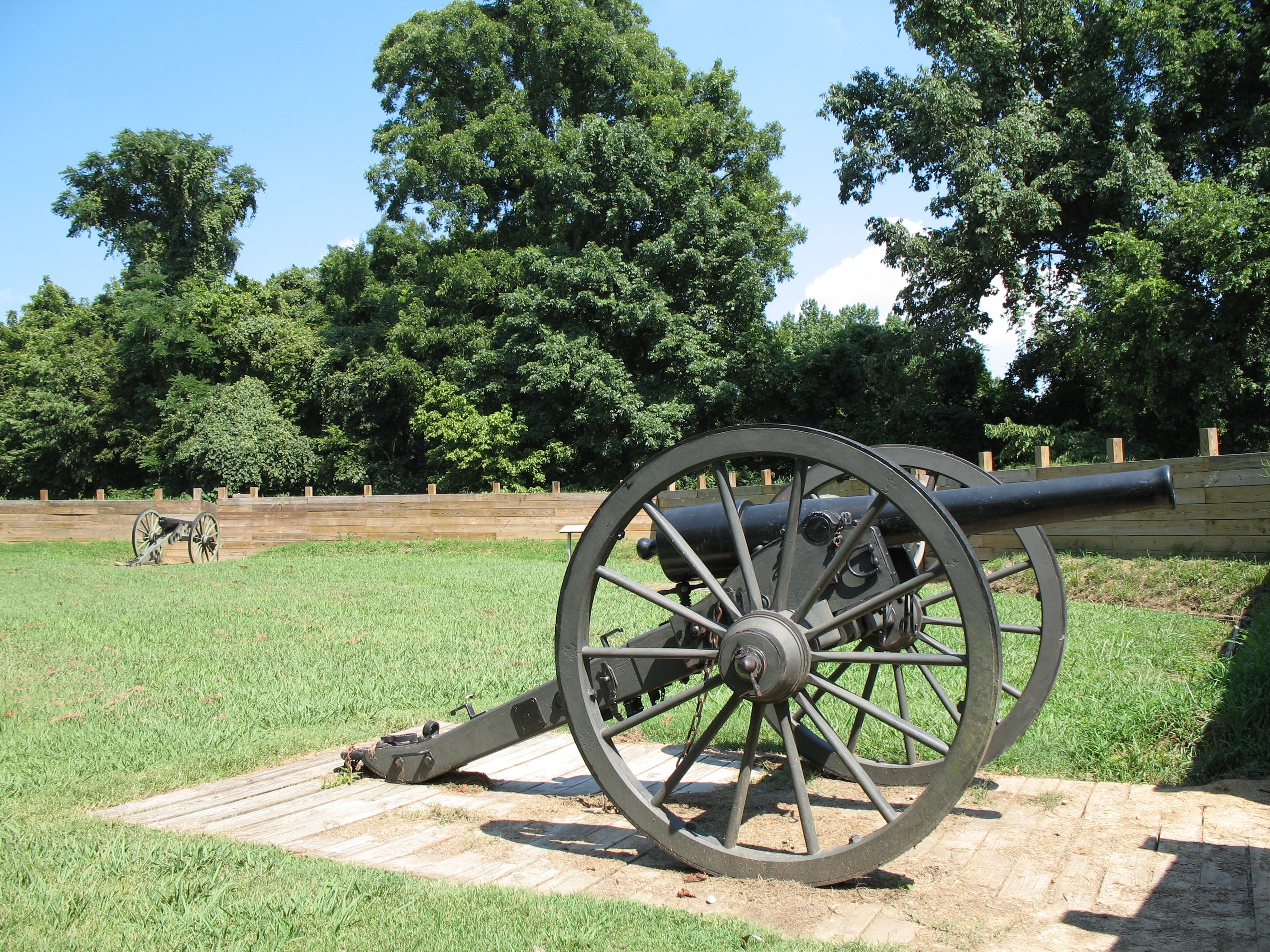
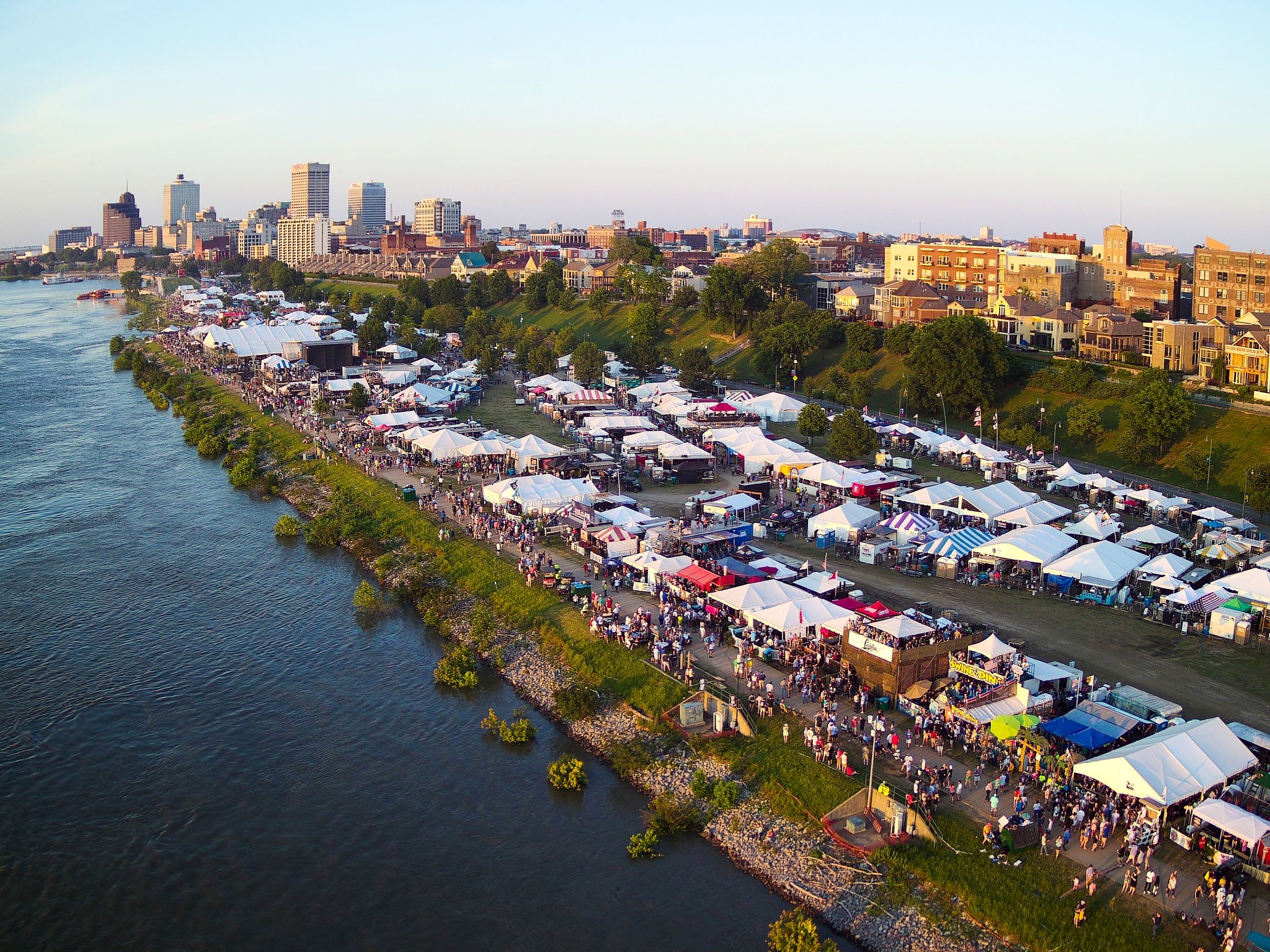
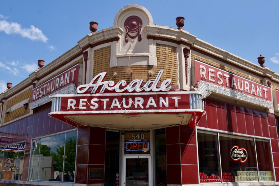
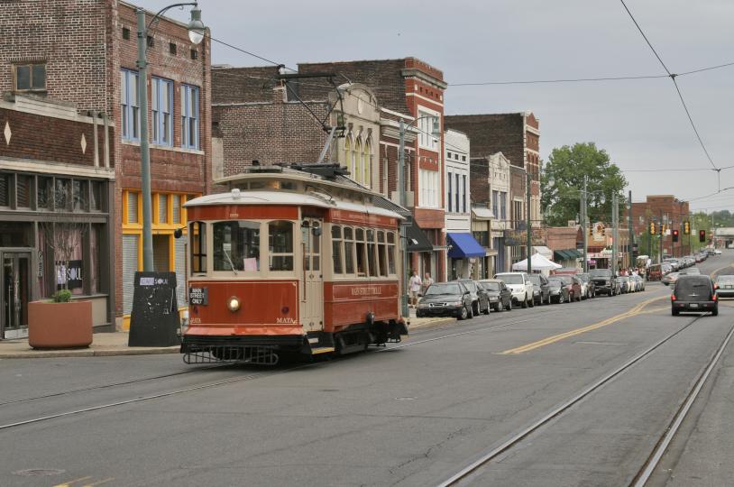
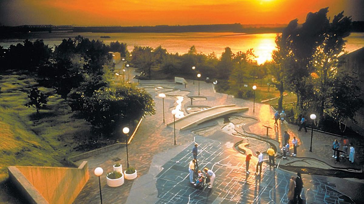
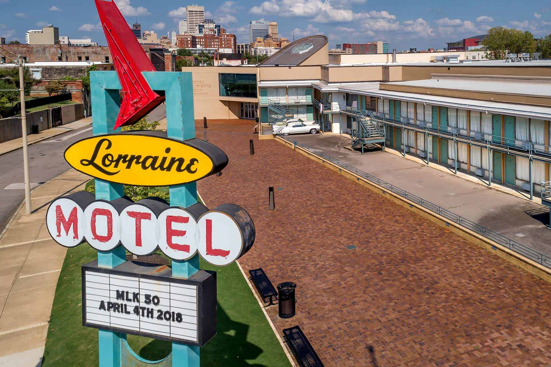
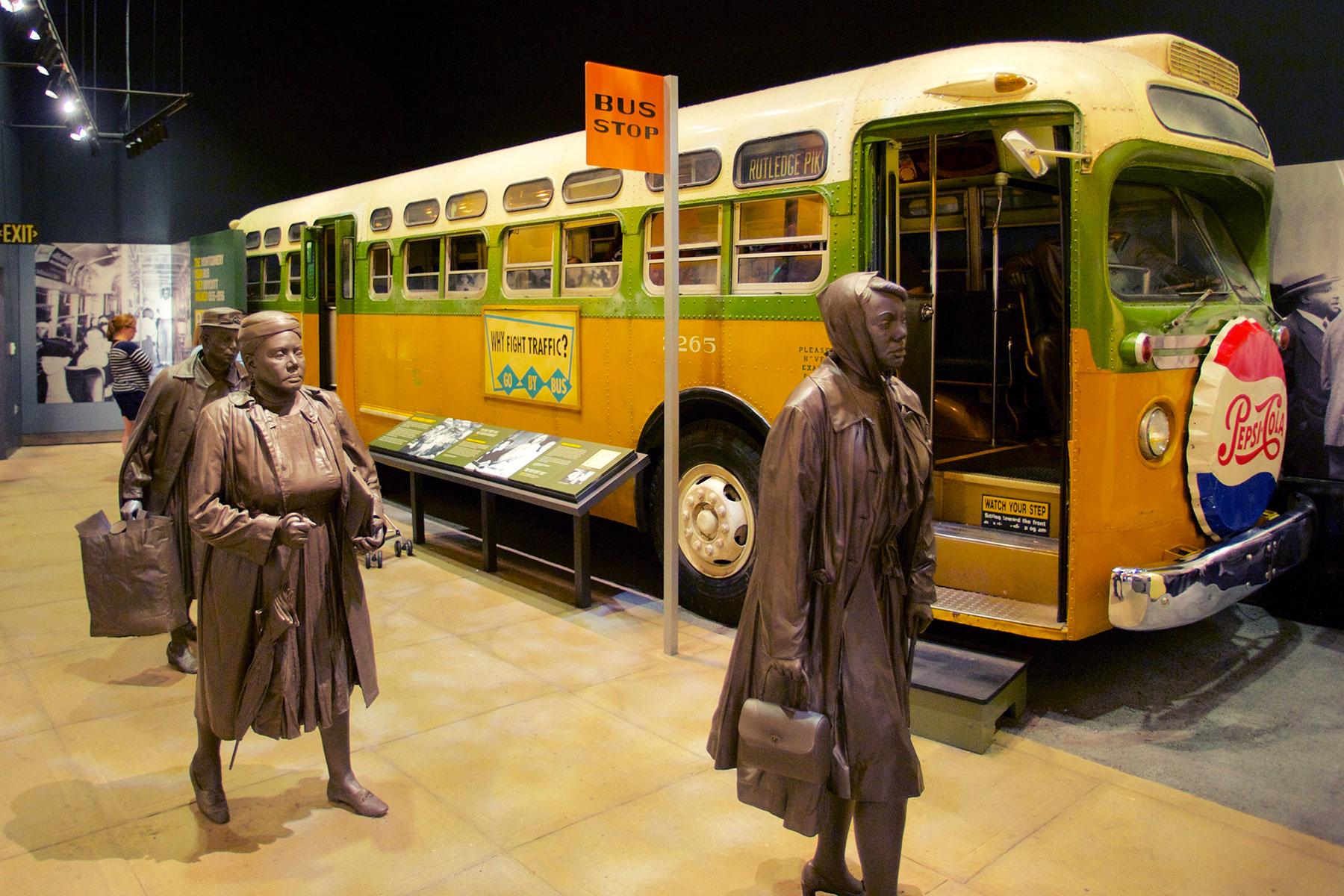
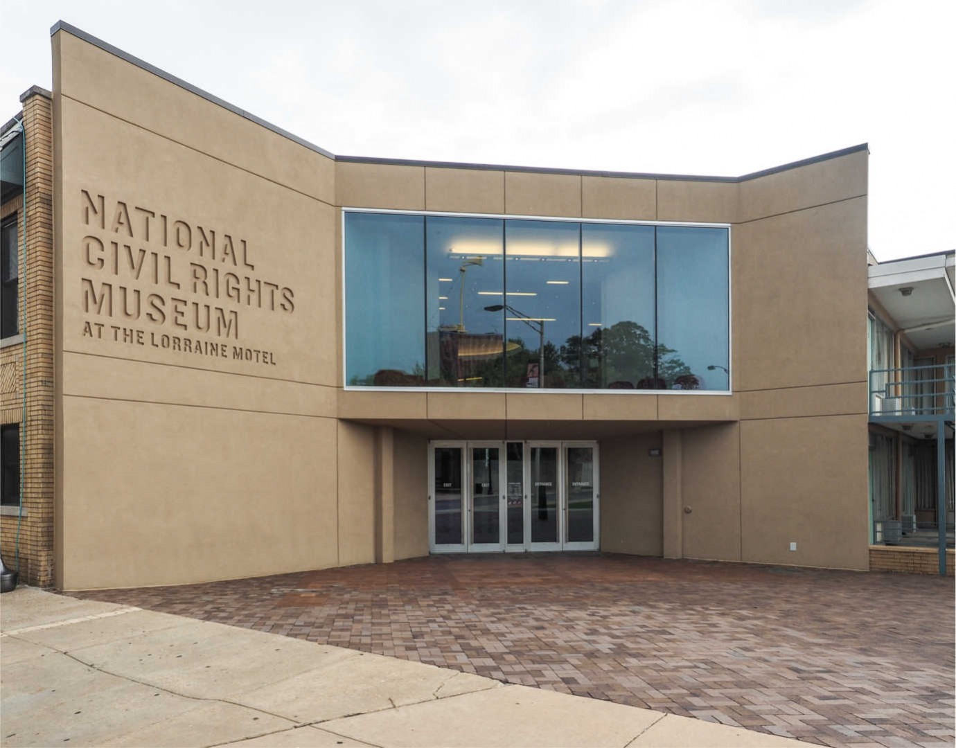
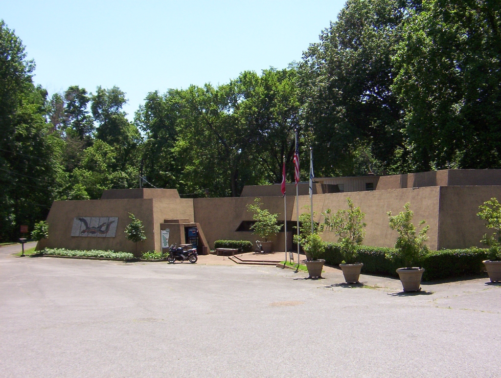
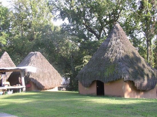
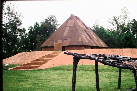
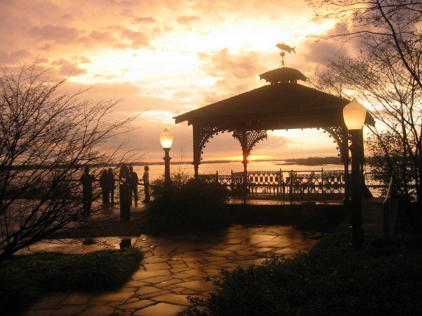
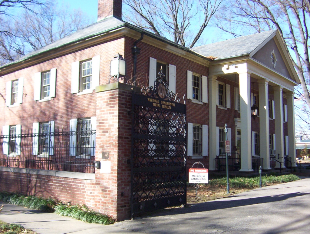
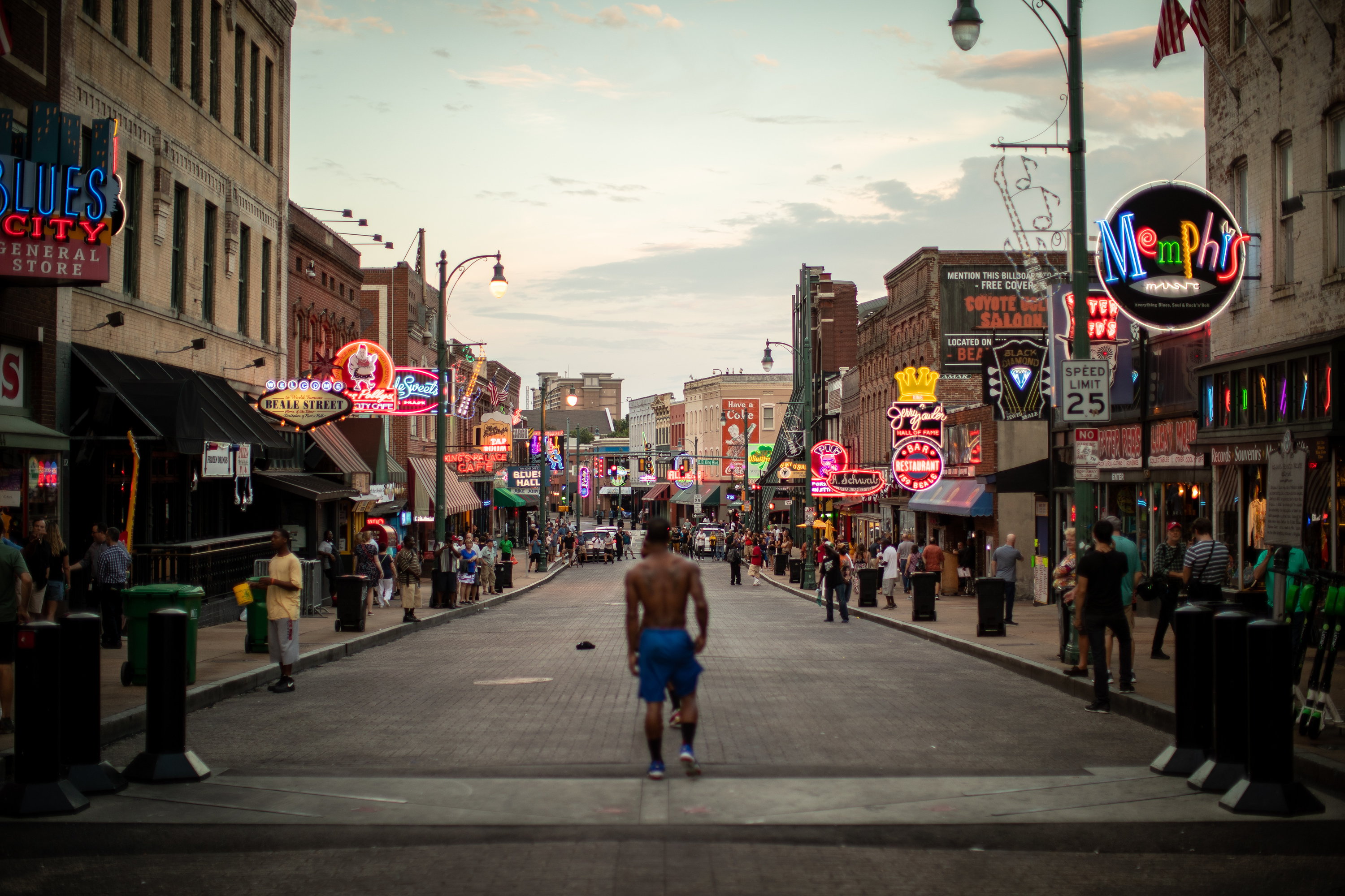
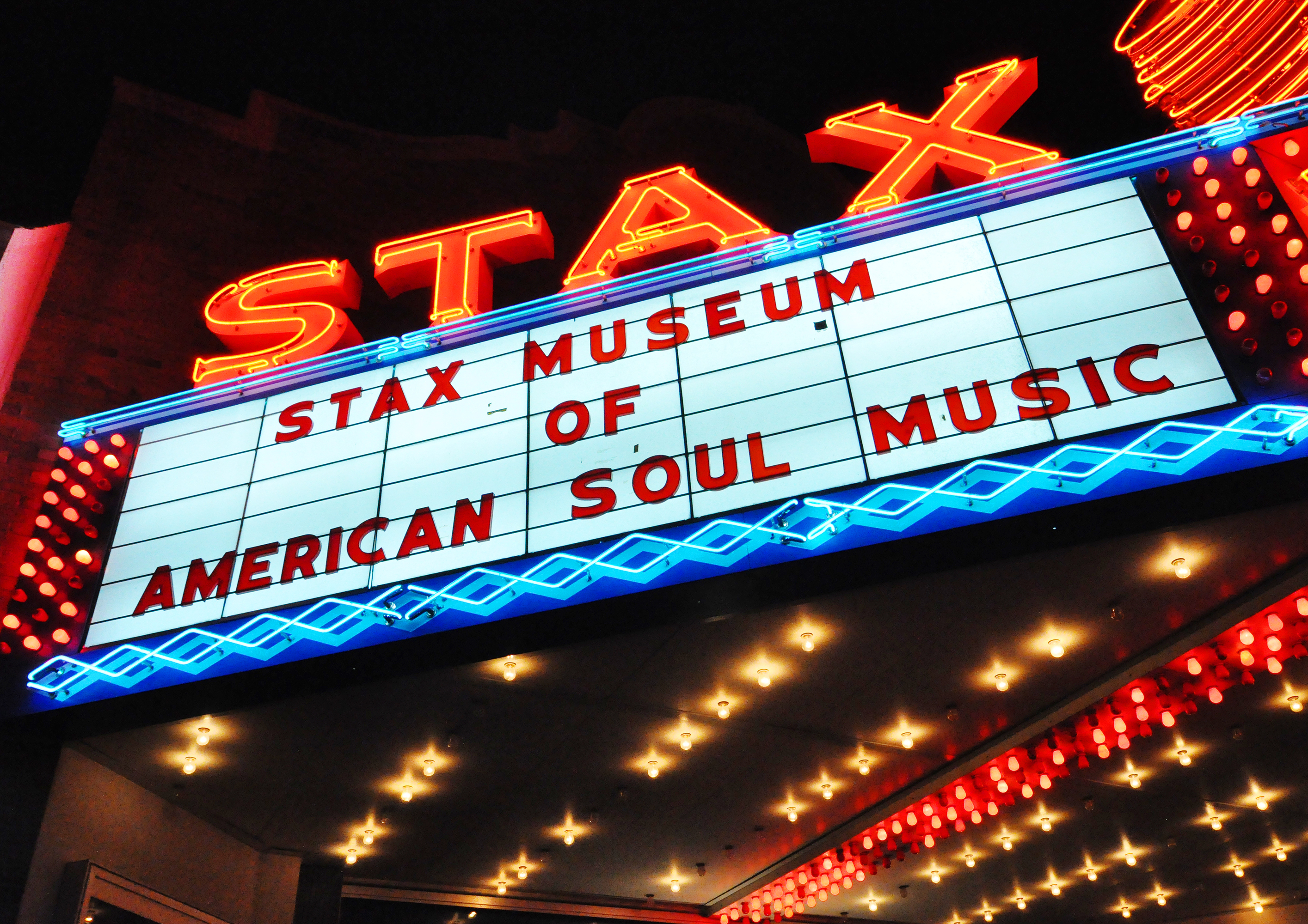
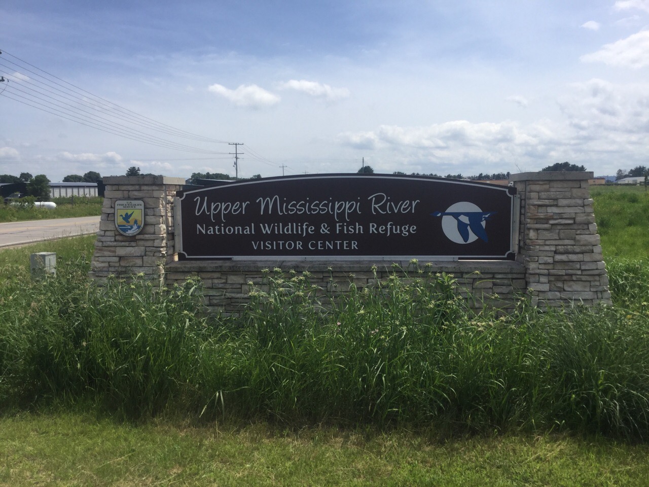
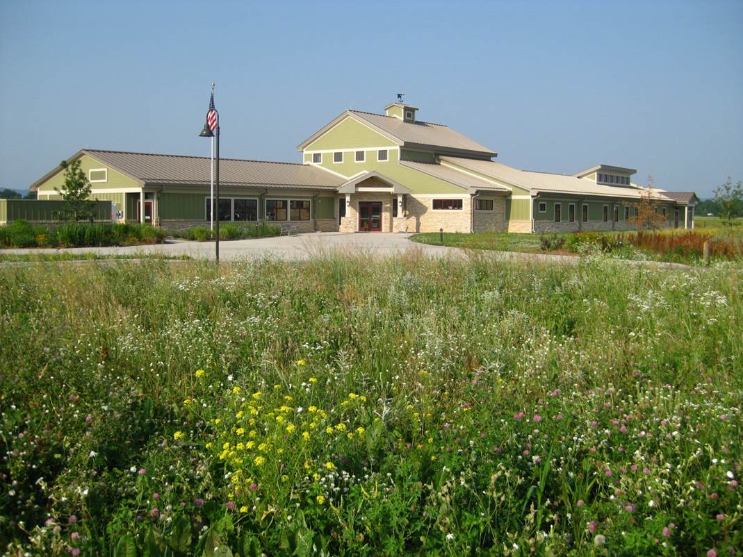
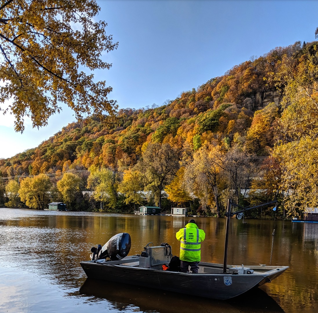
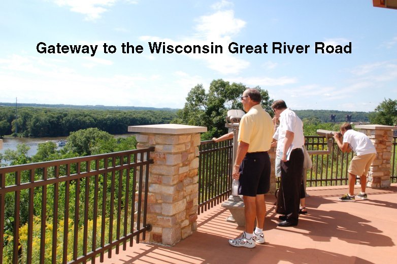
.jpg)
 tw.jpg)
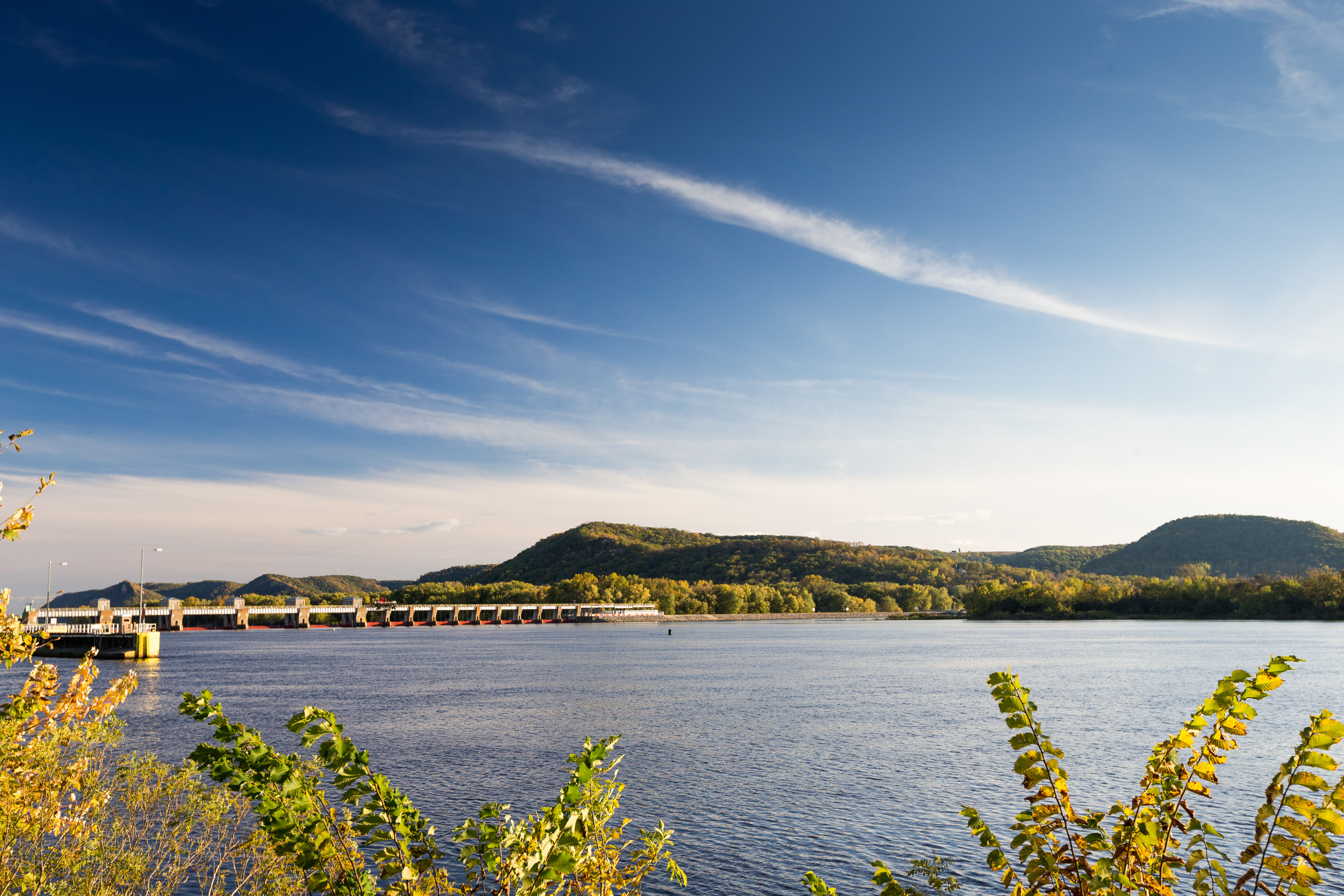
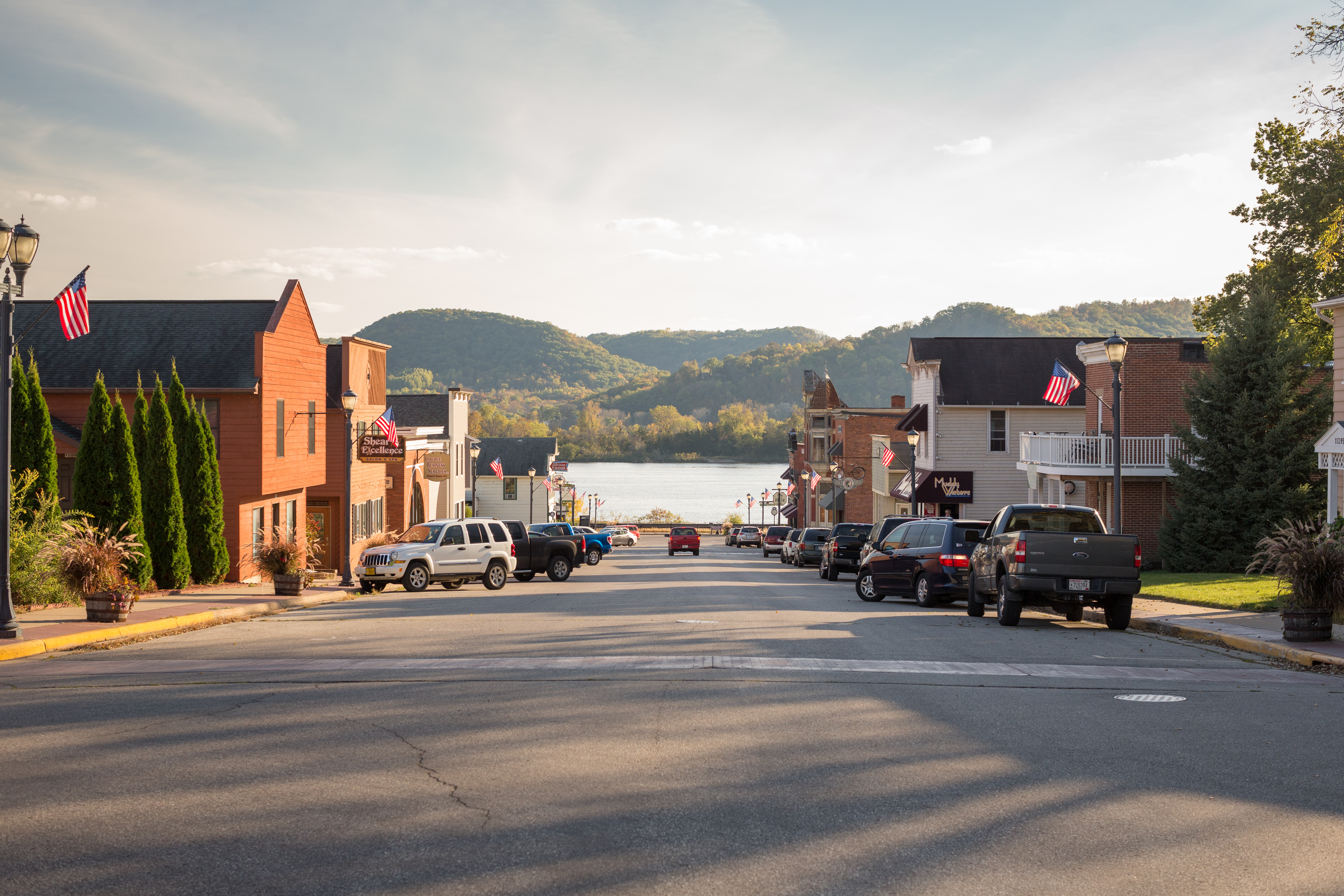
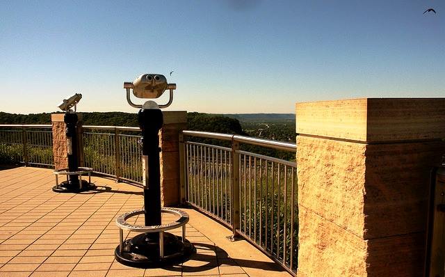
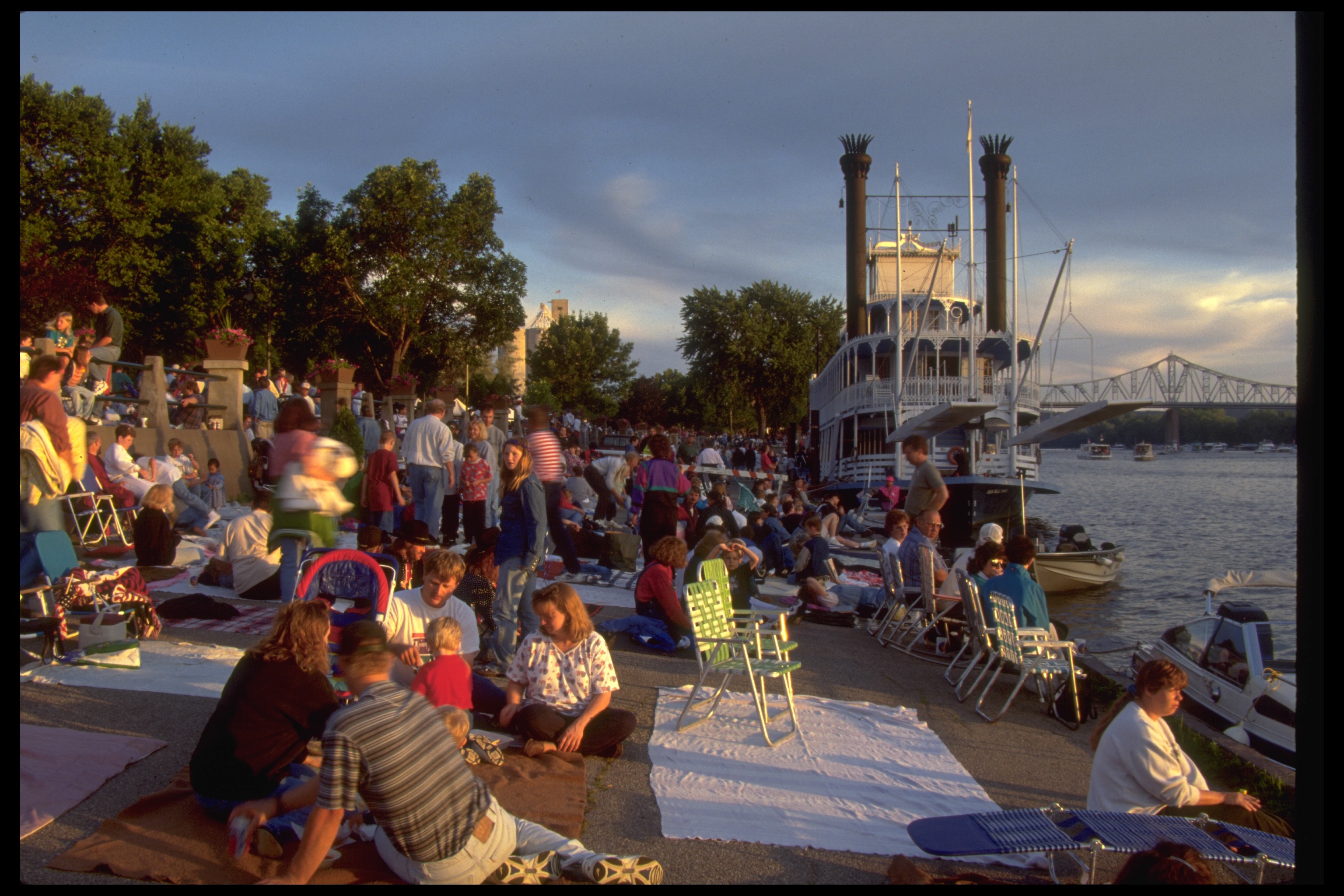
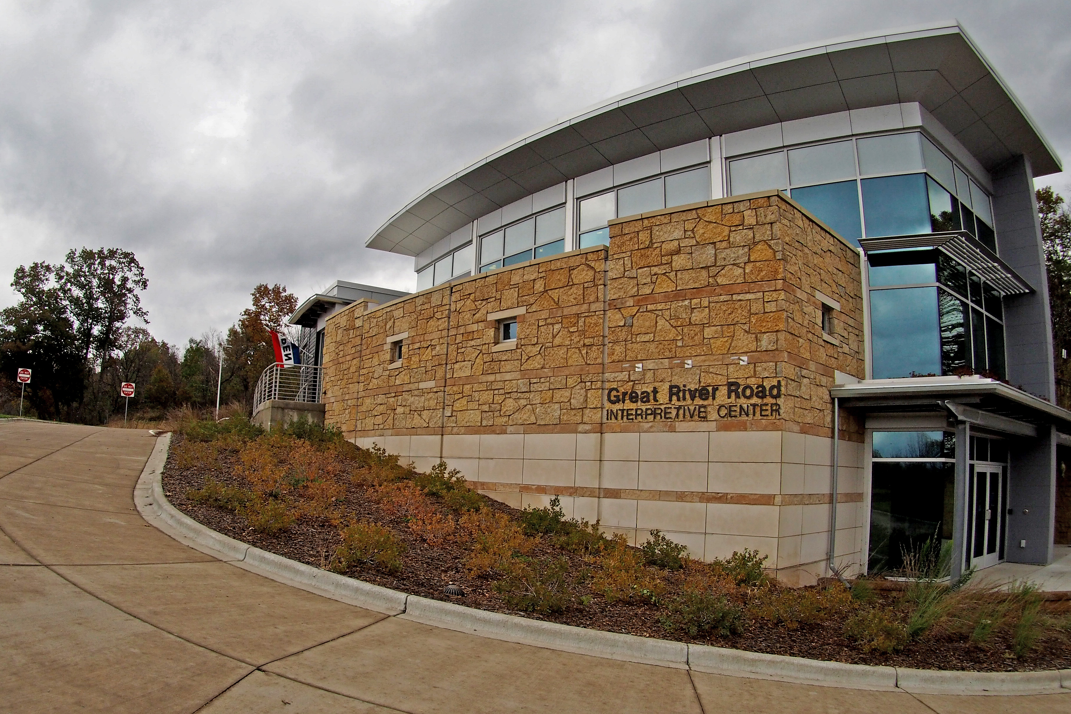
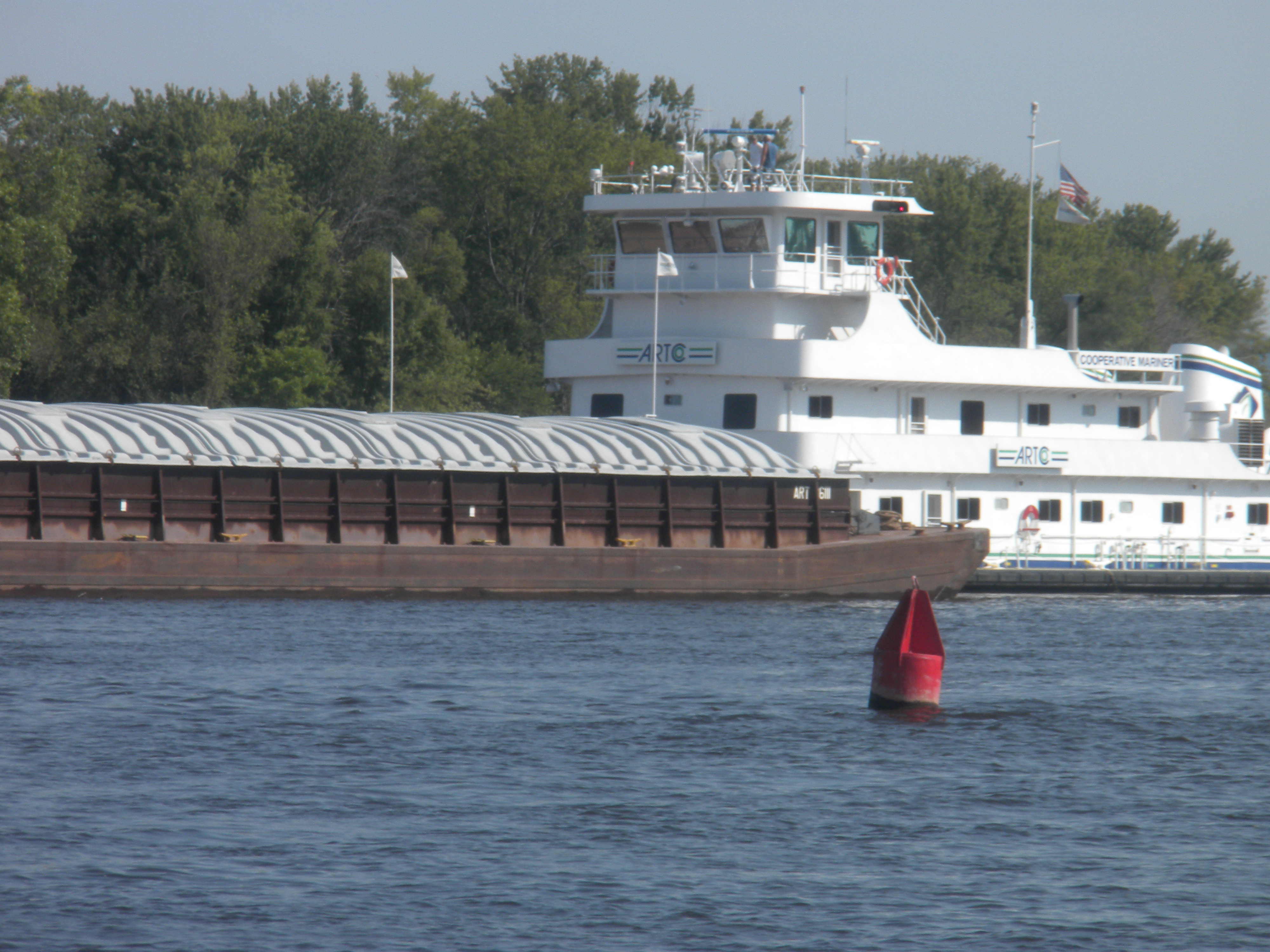
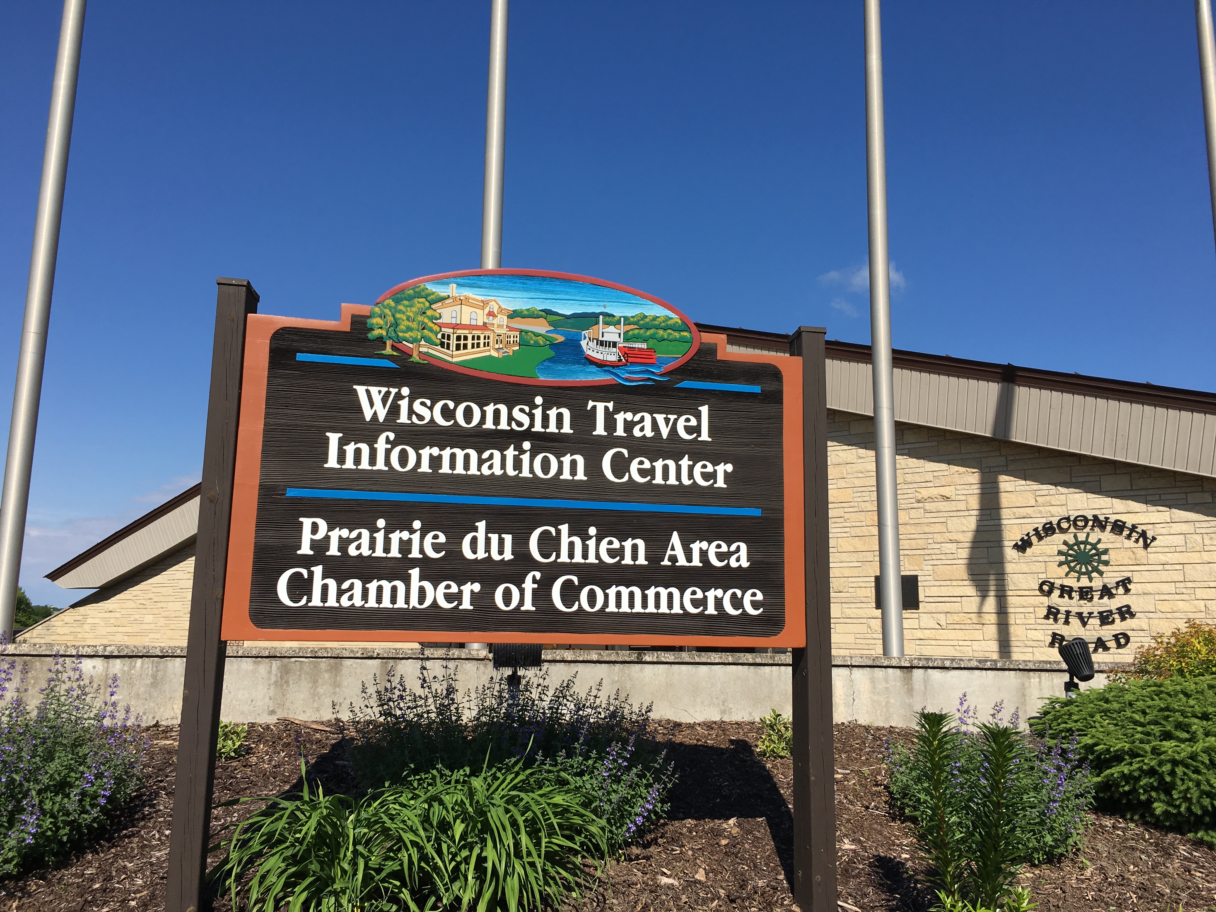
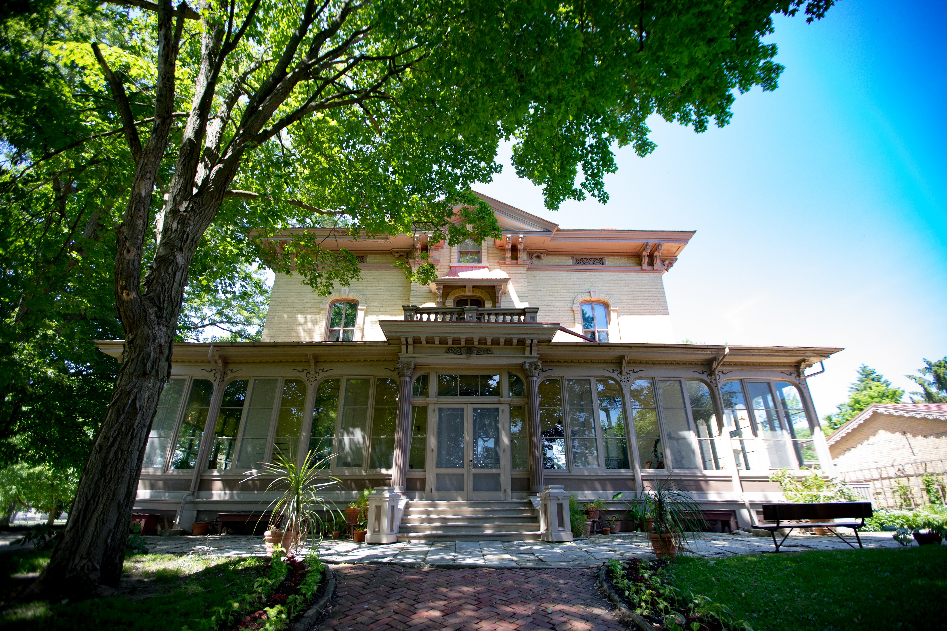
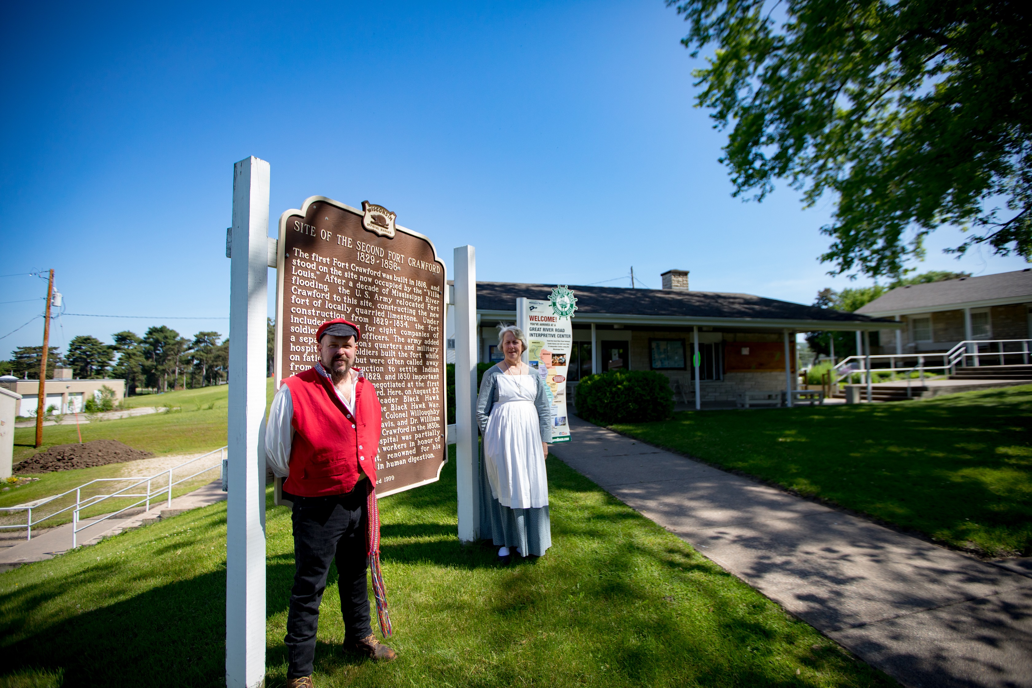
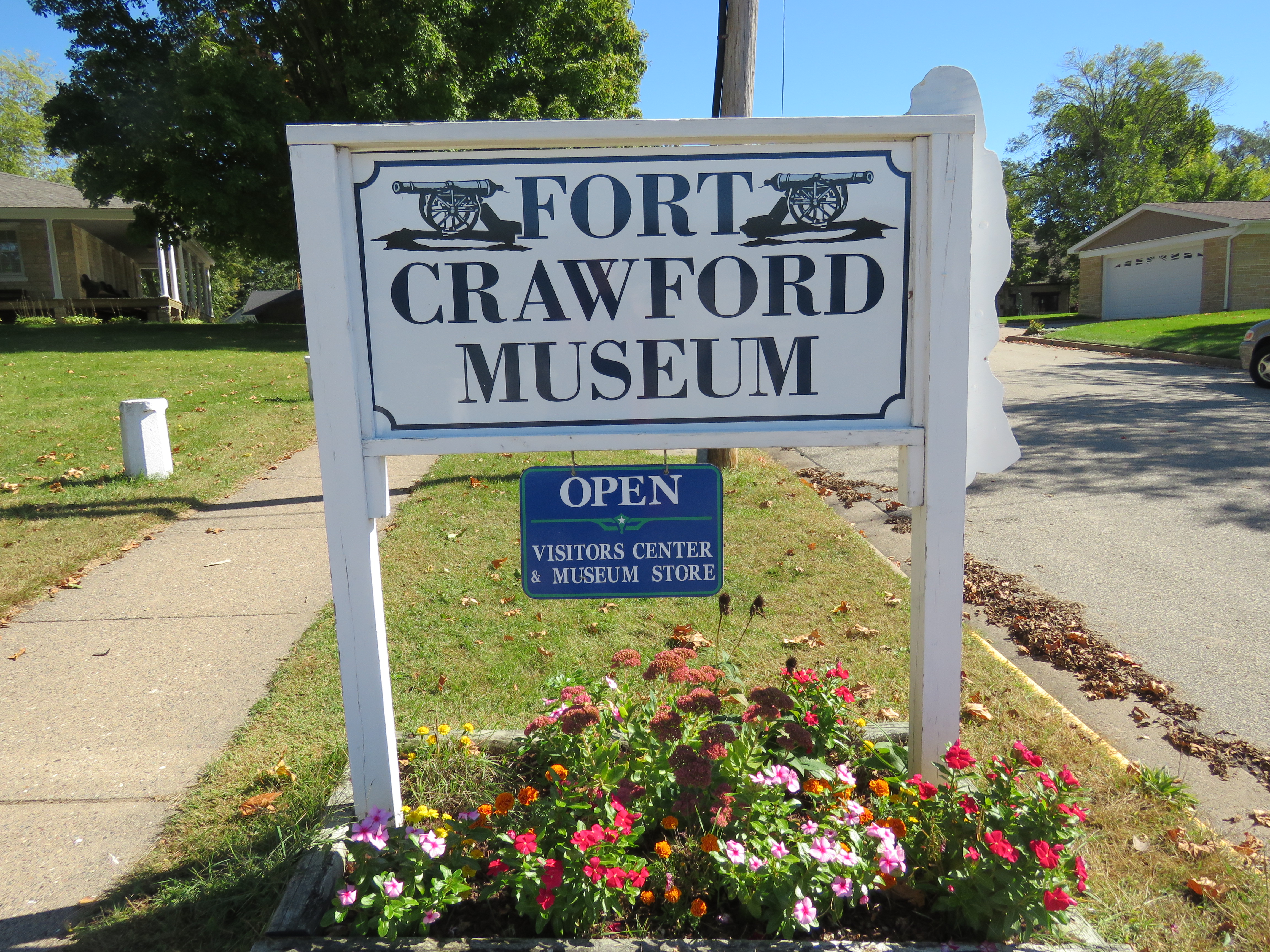
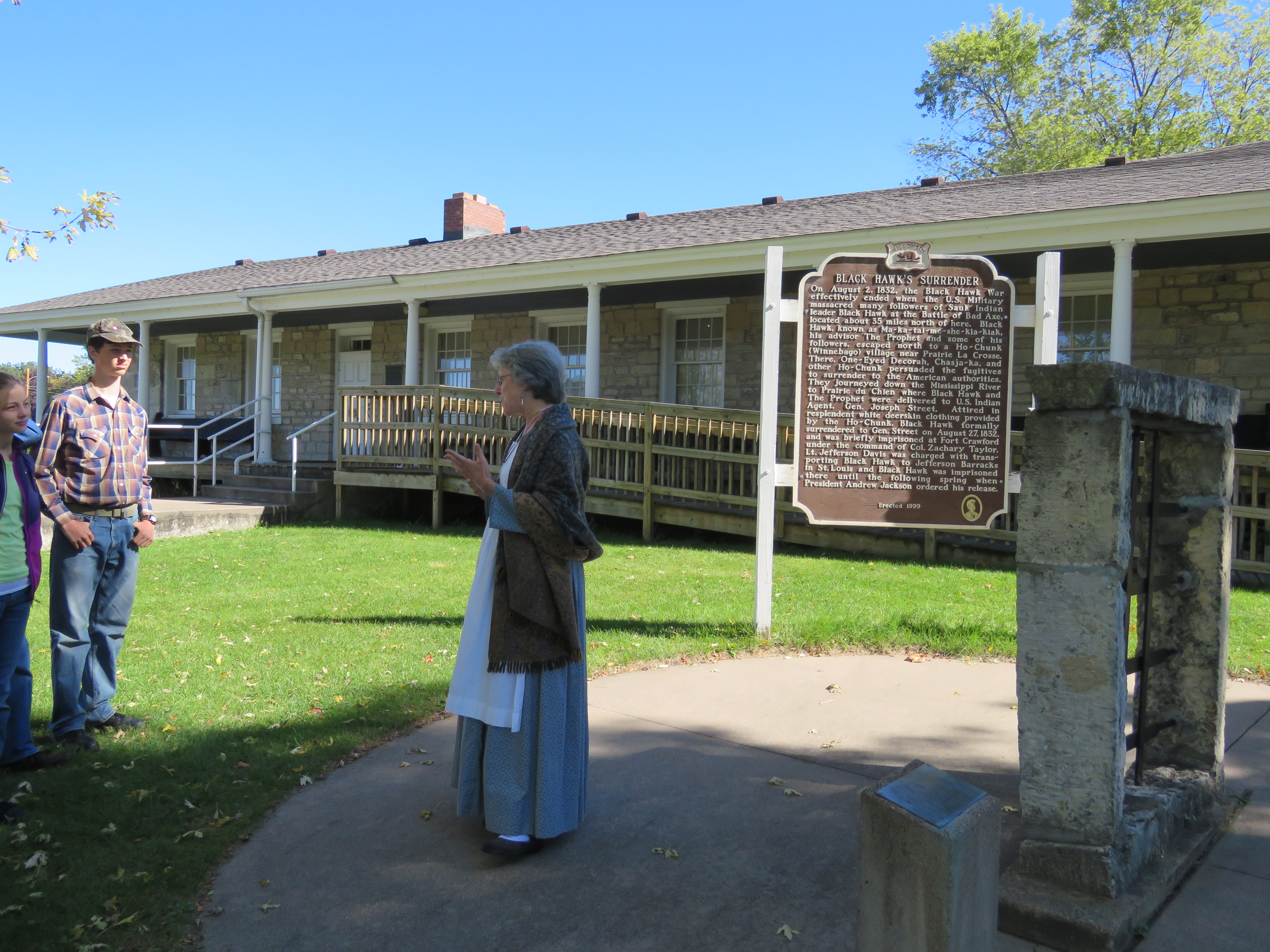
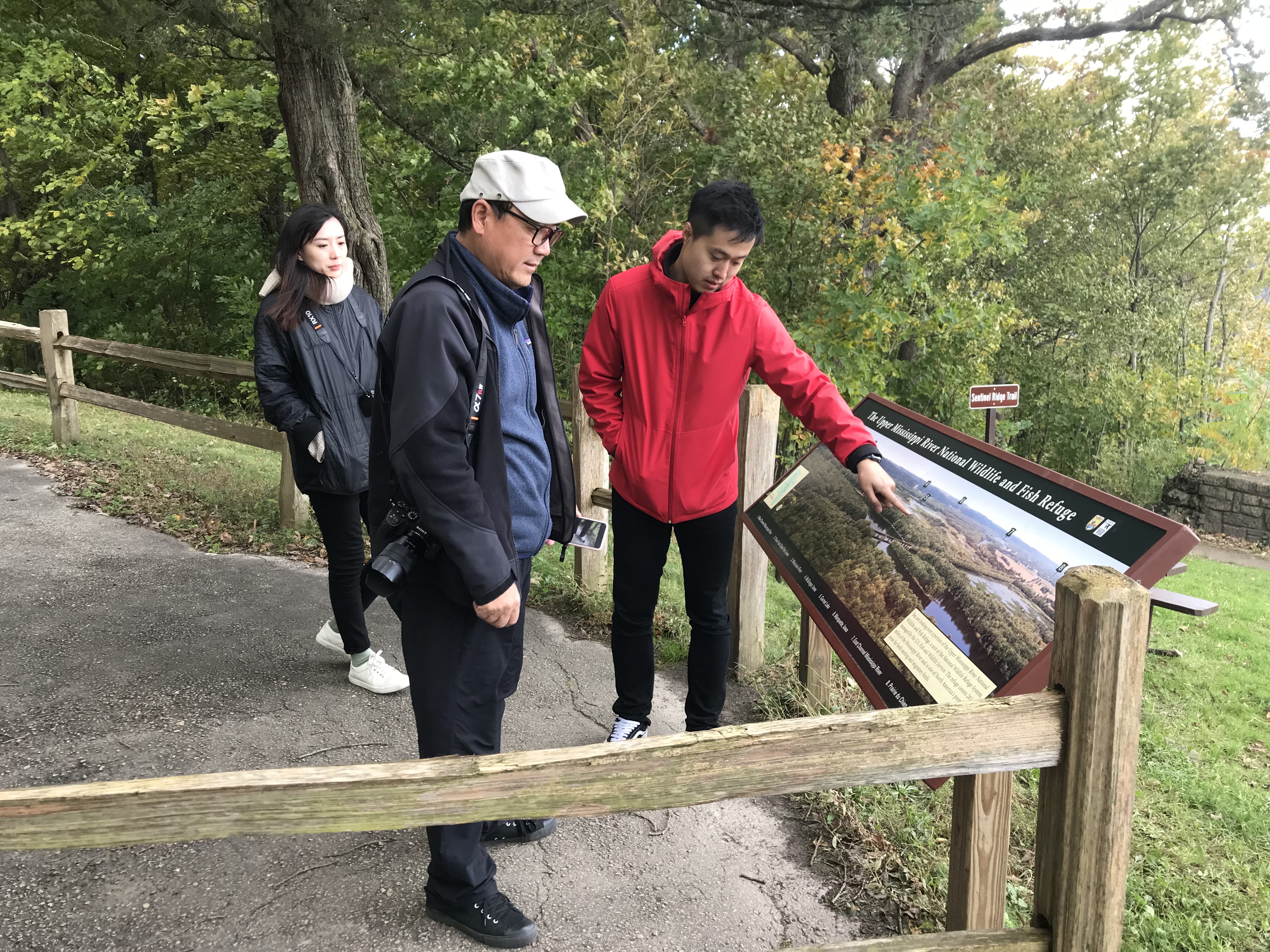
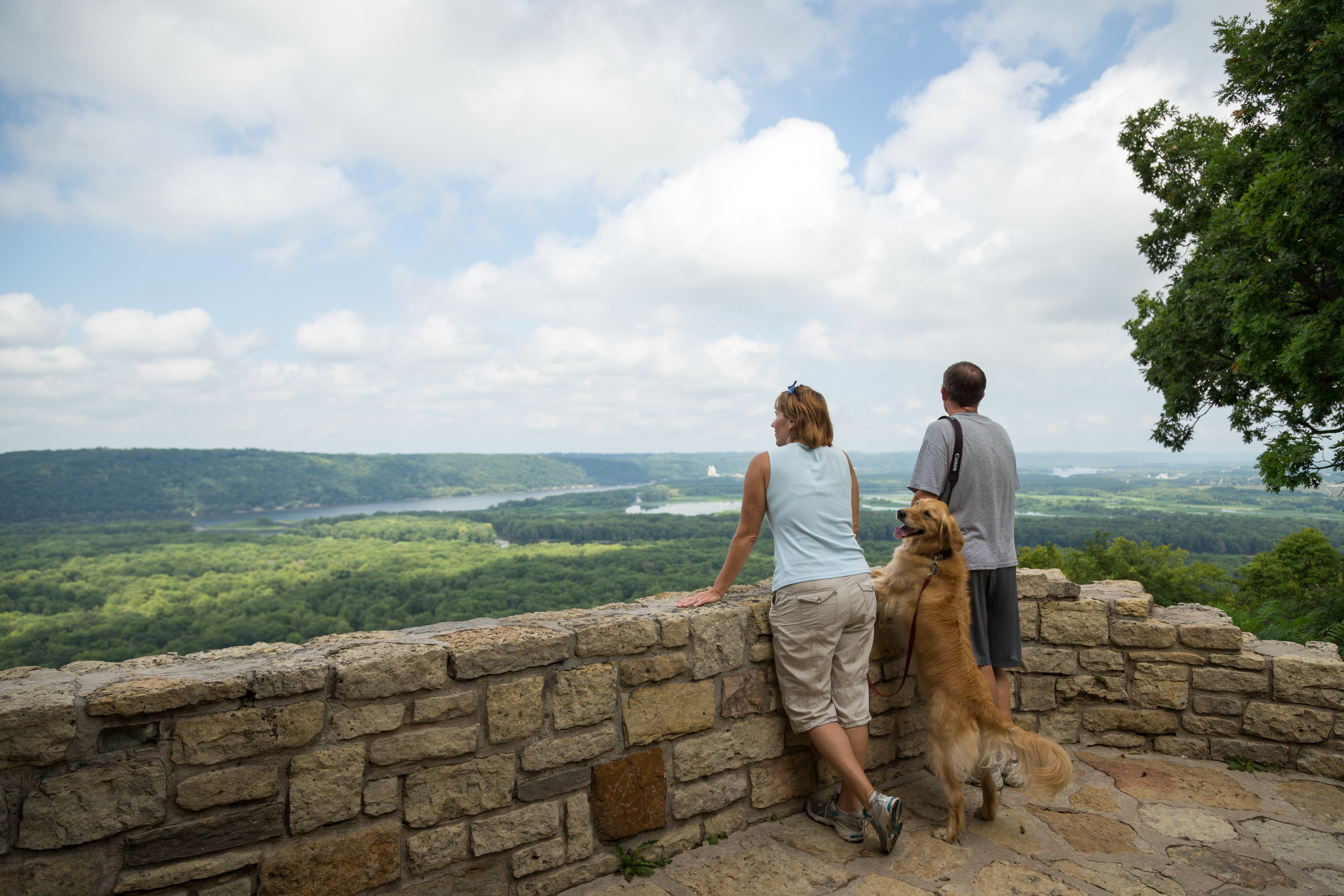
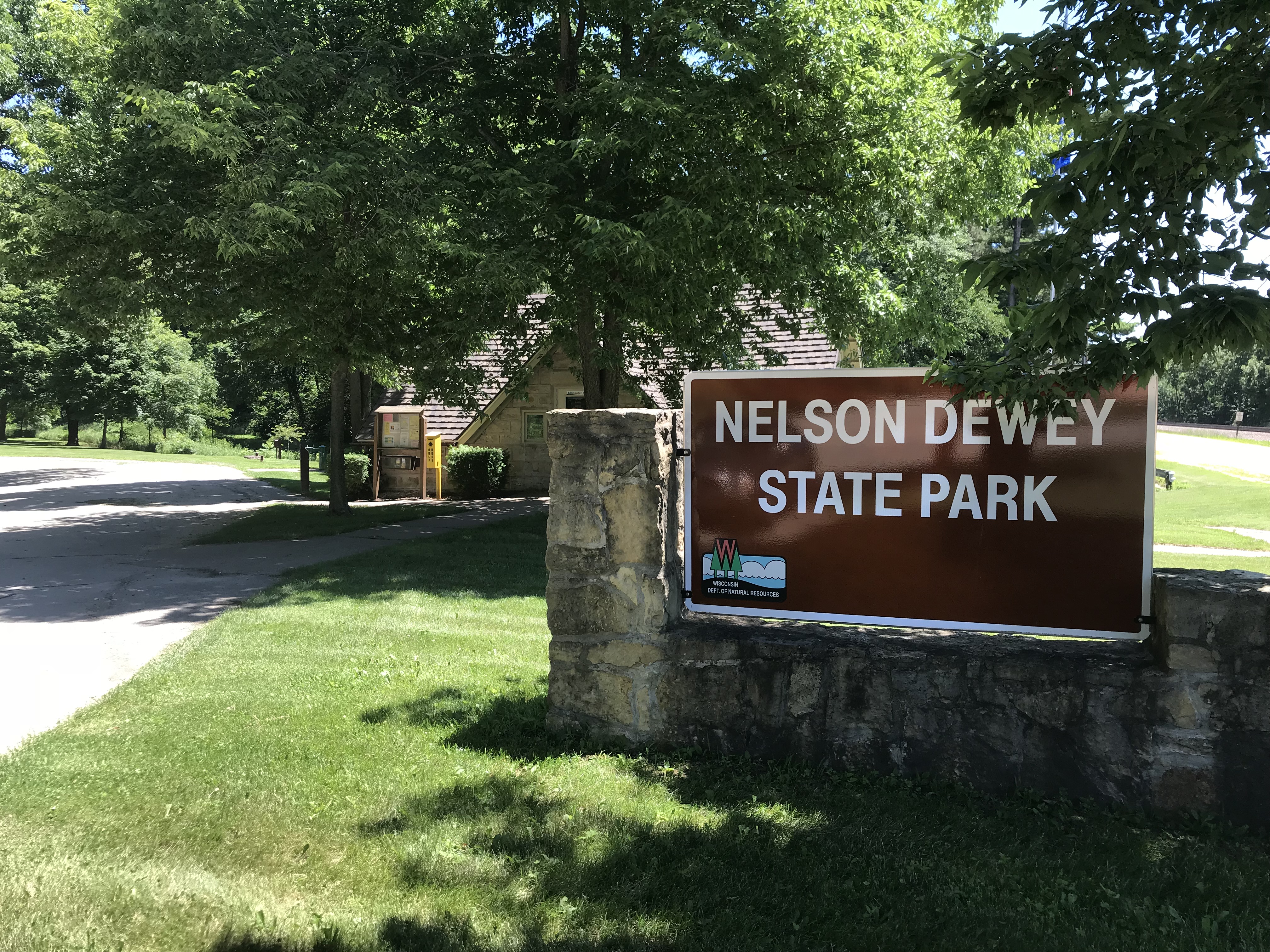
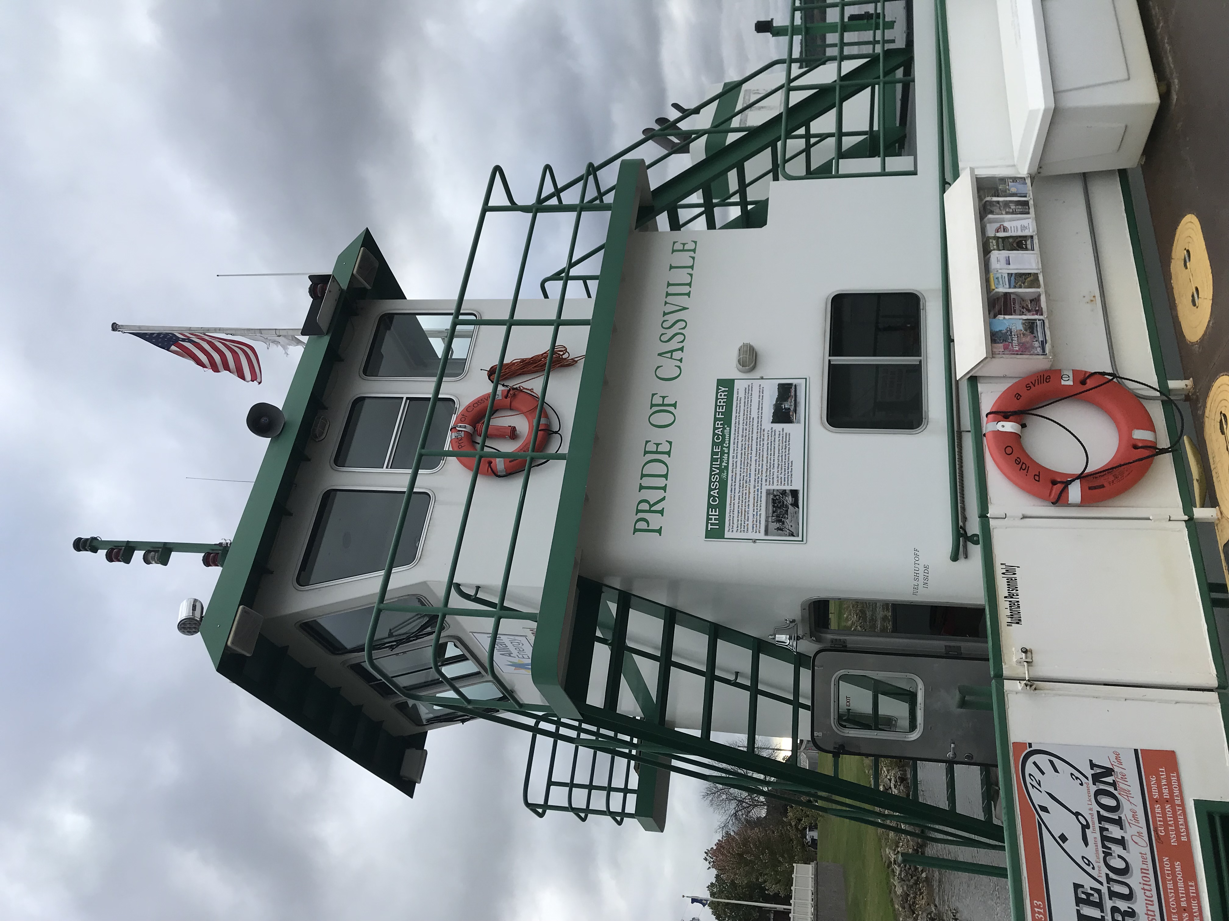
.png)
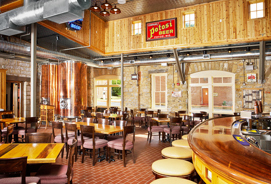
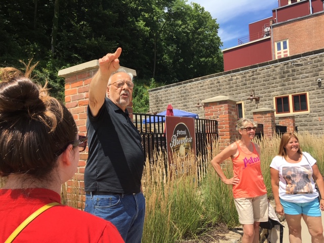