
Rangeley Lakes Scenic Byway
All Photos (17)
-
A beautiful cloudy sky invites this snowmobile rider to enjoy a great, snowy day in Maine.
Public Domain. North Country Rivers Bingham ME
Download Original (2272 x 1704 pixels, 421.1 KB)
-
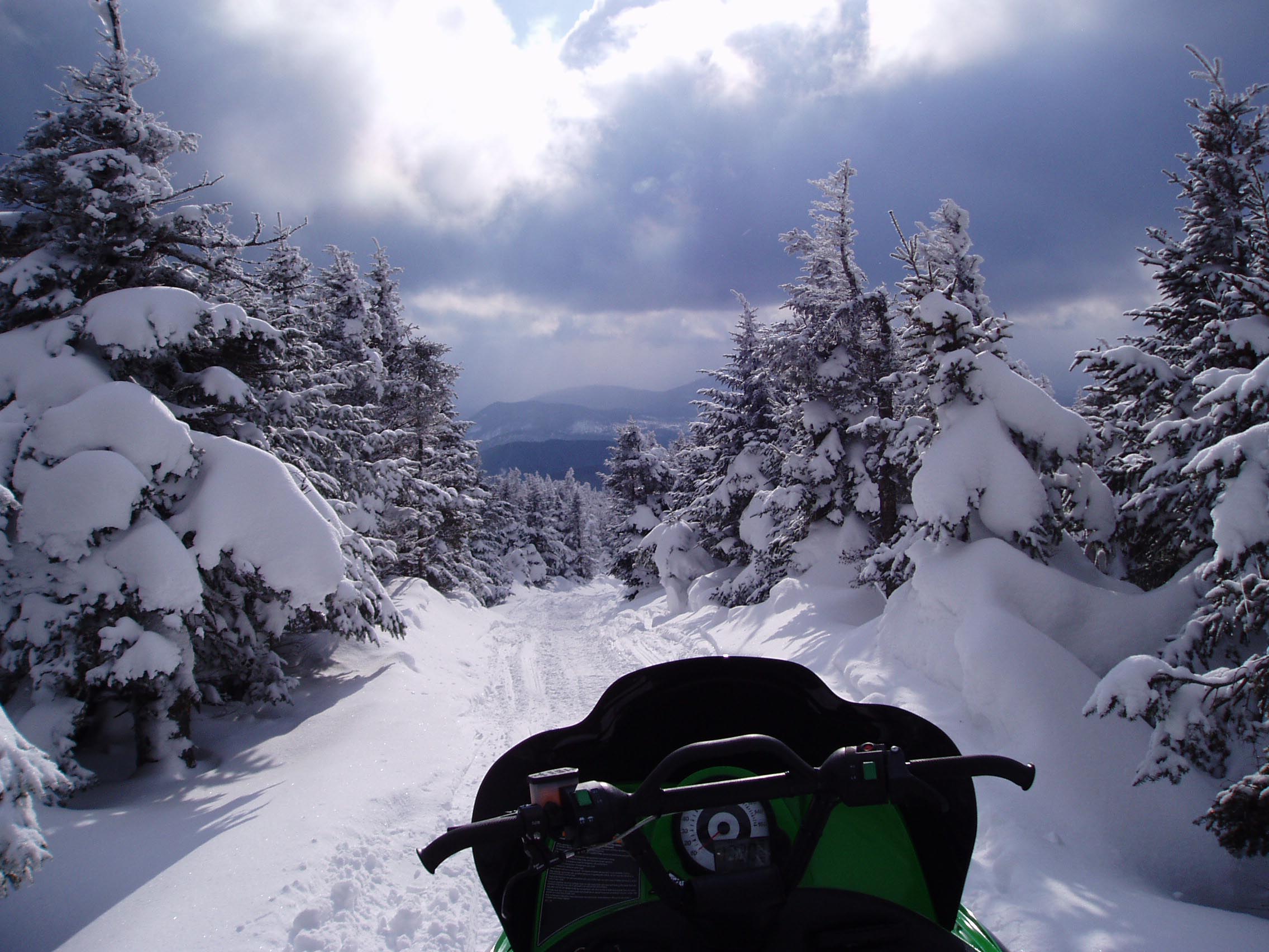
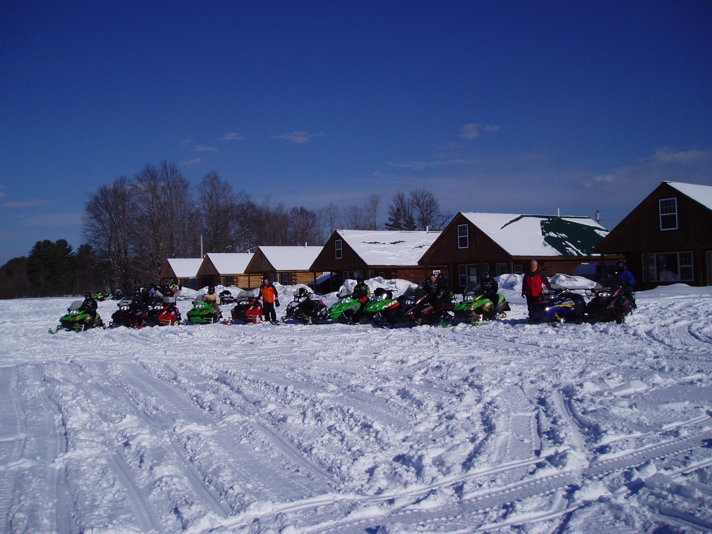
A line of snowmobiles lie among a network of tracks across excellent snow.
Public Domain. North Country Rivers Bingham ME
Download Original (2272 x 1704 pixels, 454.5 KB)
-

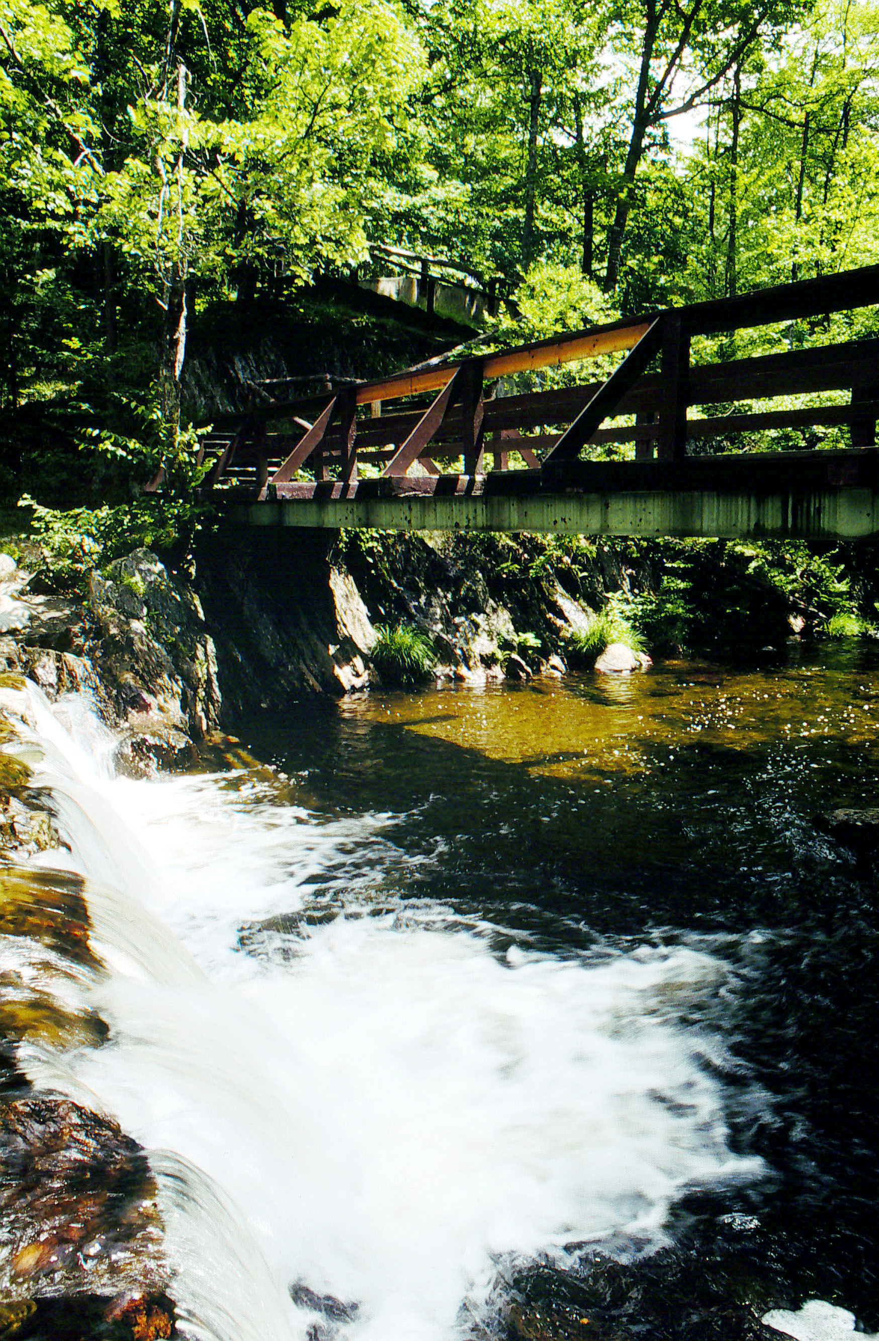
The rushing fall provides a beautiful view for travelers to take in as they relax.
© July 1999 Maine Department of Transportation.
Download Original (1748 x 2668 pixels, 1152.3 MB)
-
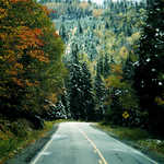
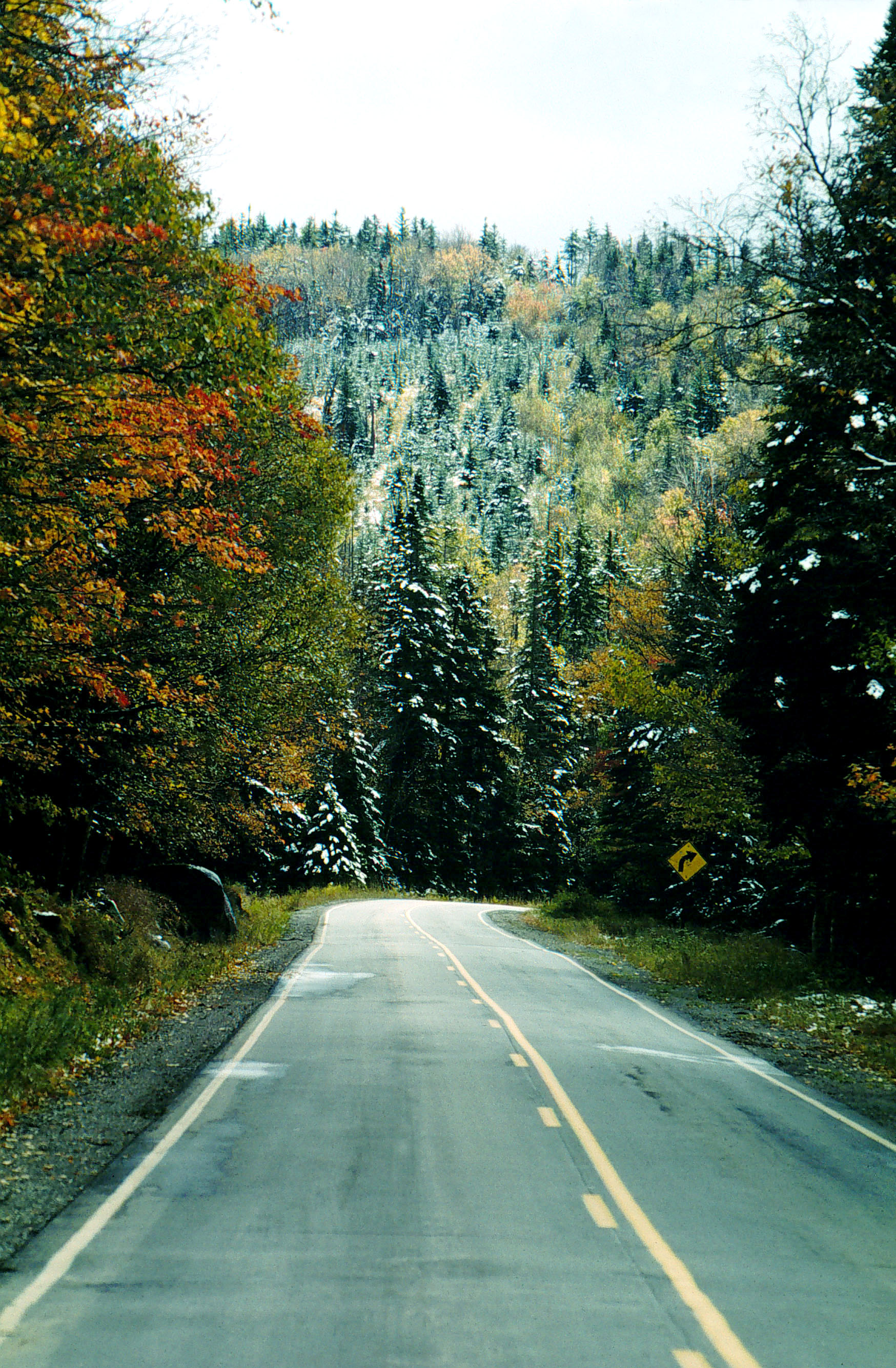
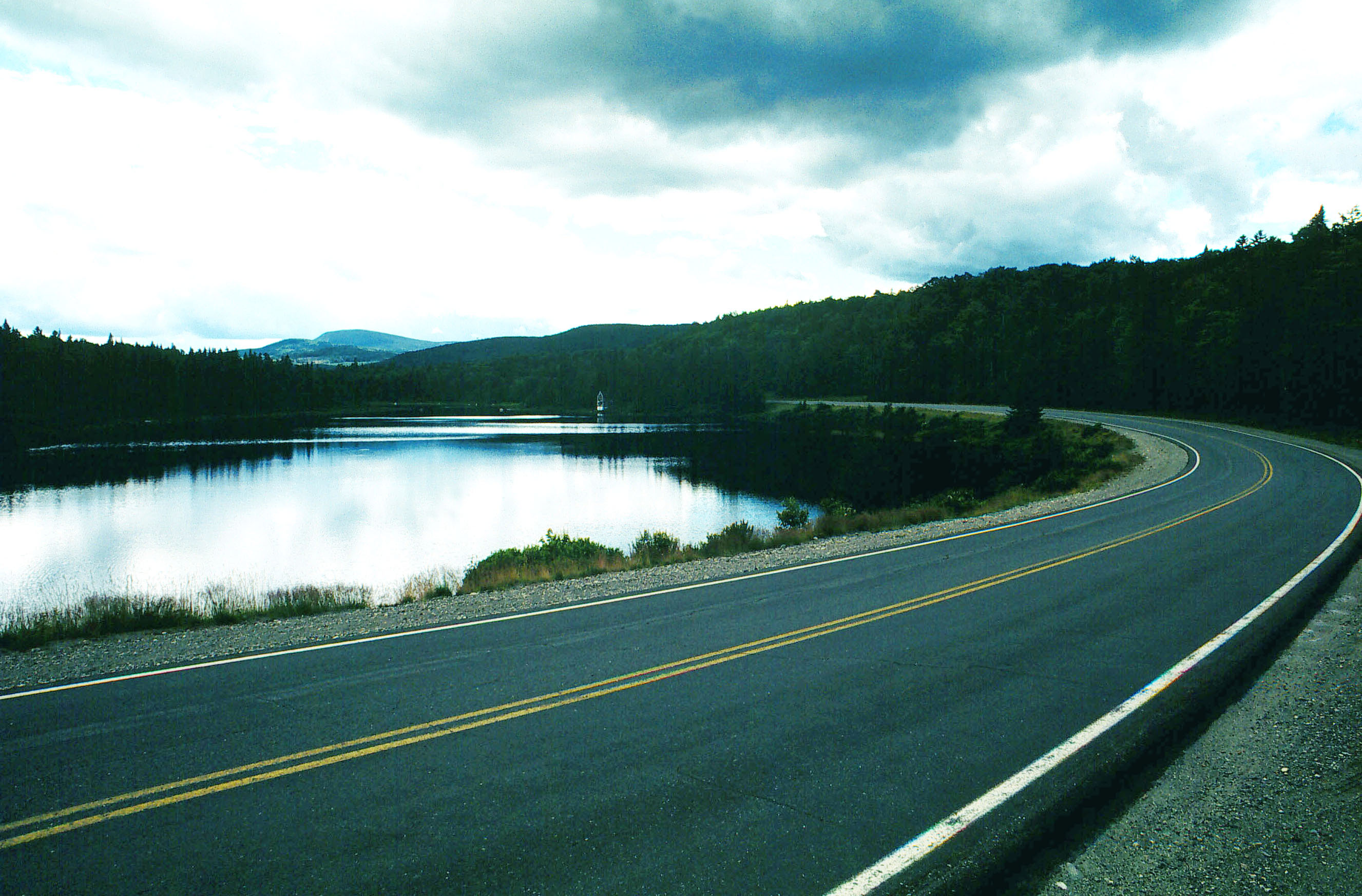
Typical Rangeley Lakes Scenic Byway corridor view during the fall season with snow highlights.
© November 1999 Maine Department of Transportation.
Download Original (1748 x 2668 pixels, 1102.1 MB)
-
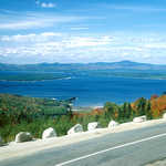
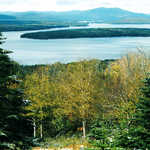
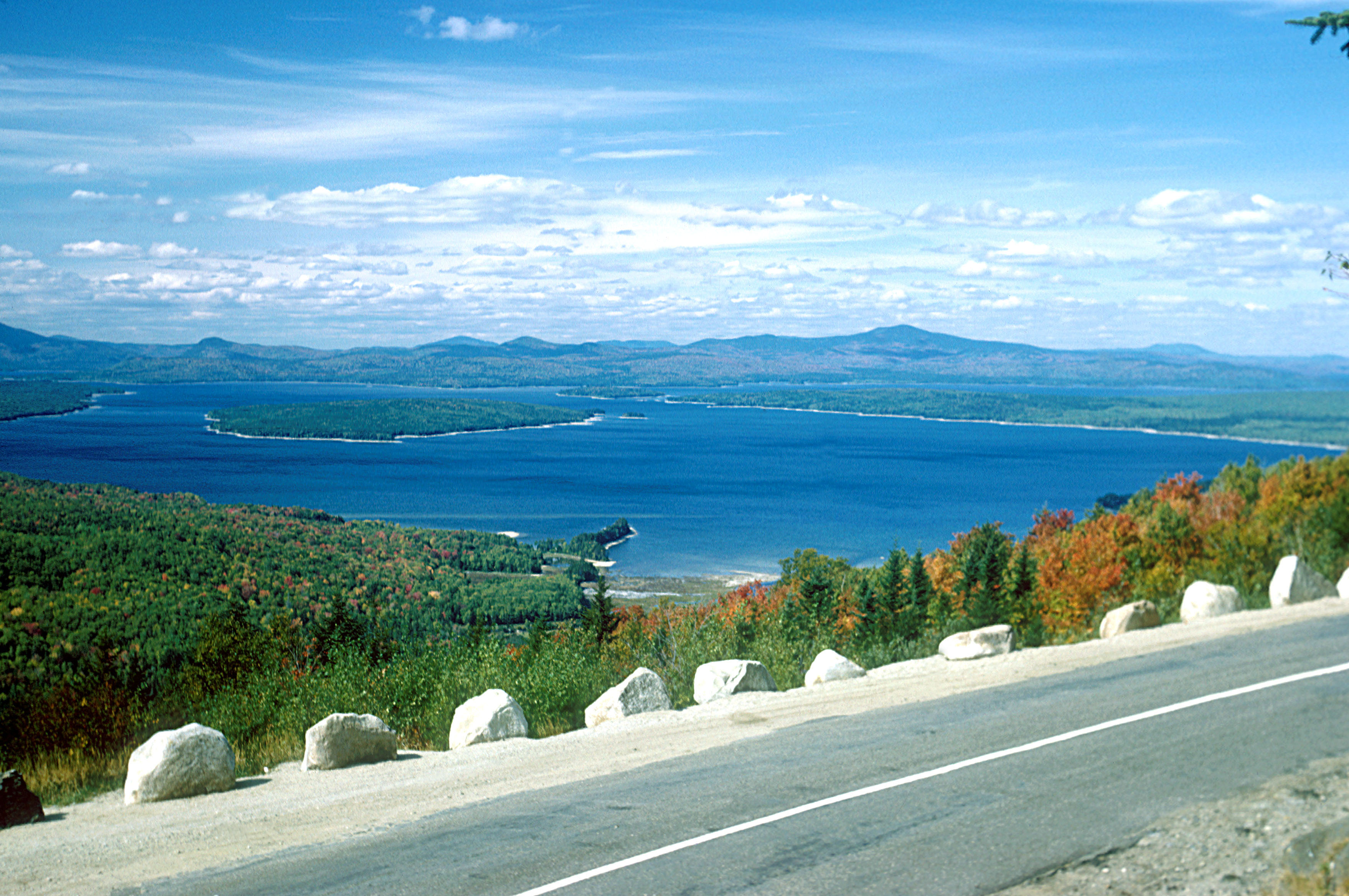
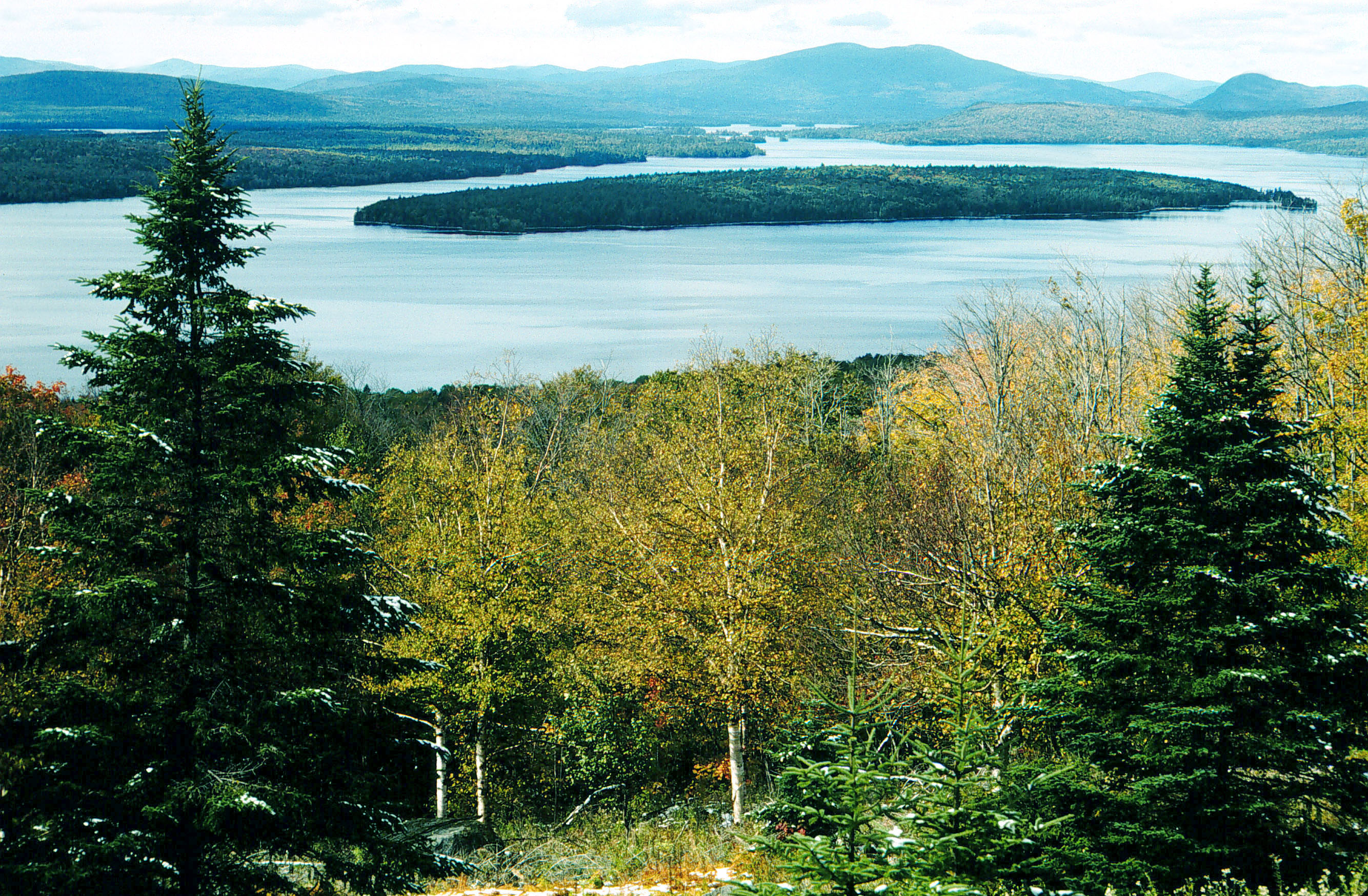
Spectacular panoramic views of the Mooselookmeguntic Basin, Toothaker Island, upper and lower Richardson Lake and the White Mountain chain.
© September 1979 Maine Department of Transportation.
Download Original (3516 x 2336 pixels, 1236.6 MB)
-
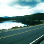
This remote mountain pond captures the Brimstone Mountain watershed and is home to an outstanding bass fishery.
© July 1999 Maine Department of Transportation.
Download Original (2653 x 1745 pixels, 670.4 KB)
-
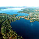
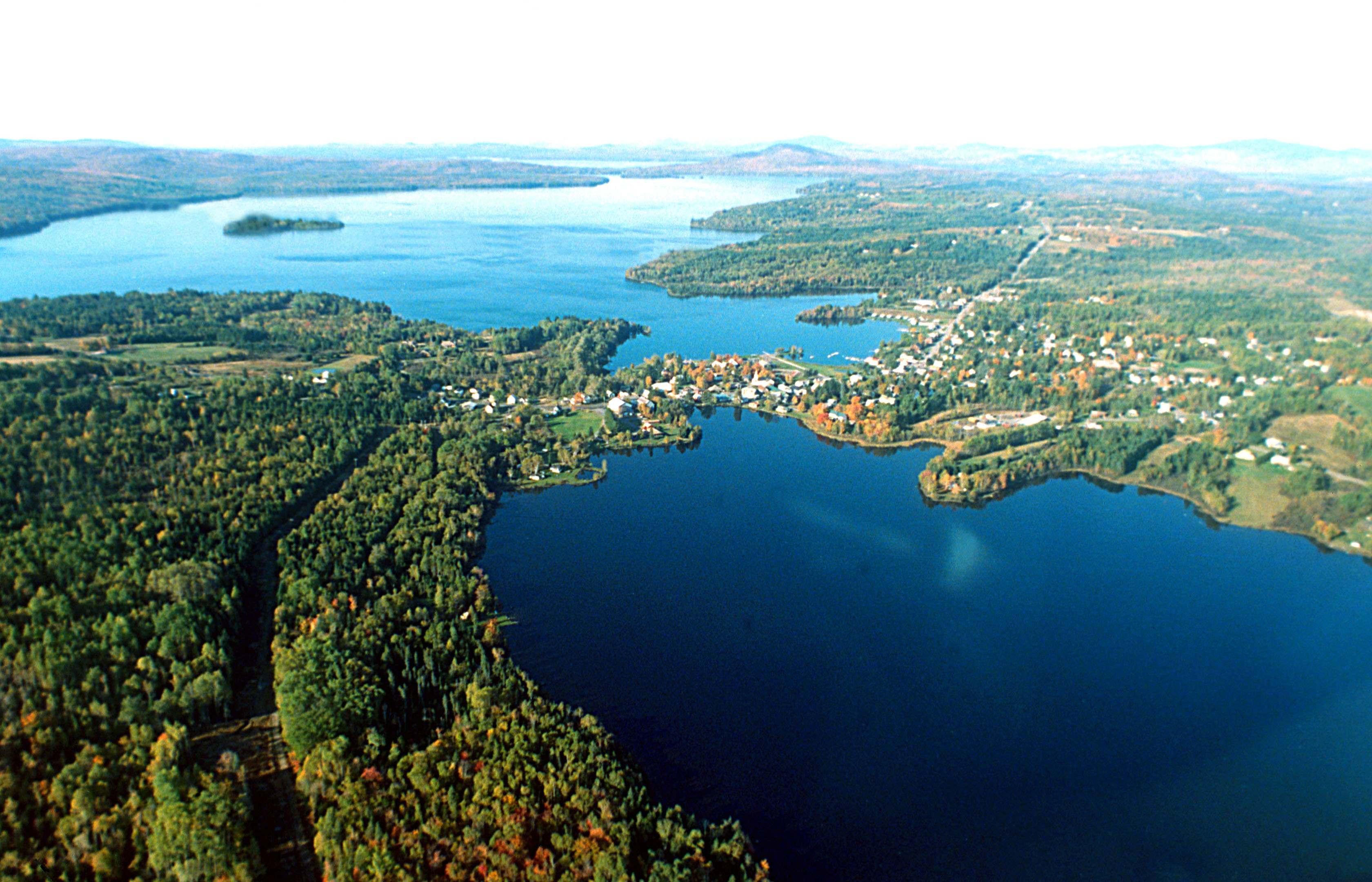
This aerial shows Rangeley Village with Haley Pond in the foreground and Rangeley Lake with Maneskootuk Island in the distance.
© September 1999 Maine Department of Transportation.
Download Original (3361 x 2161 pixels, 1119.0 MB)
-
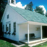
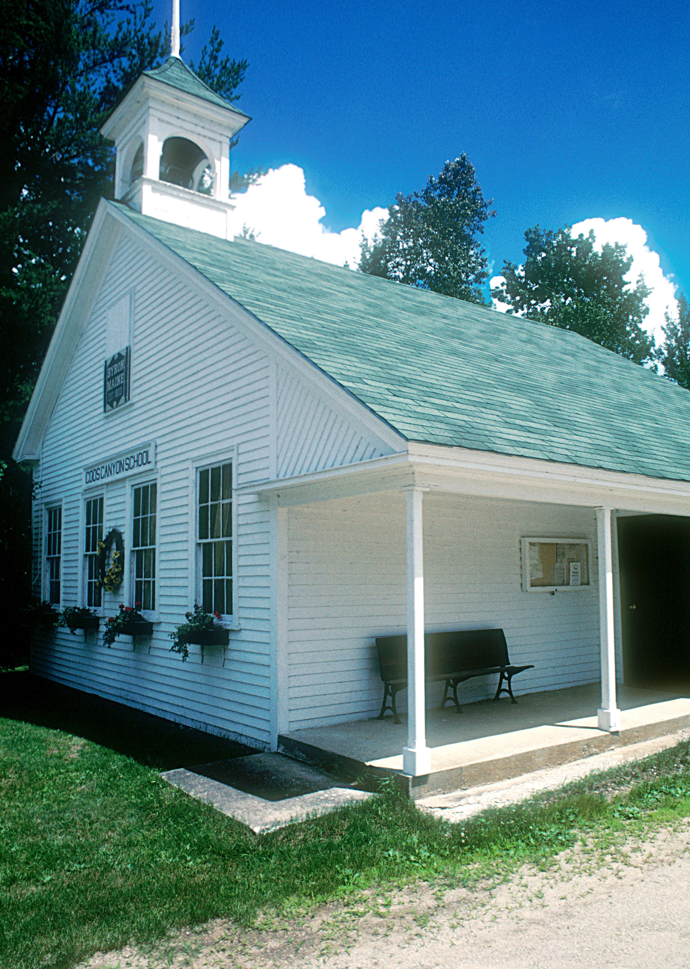
Maine's Western Mountain Region has a tremendous historical archive of vernacular architecture present in the many towns and hamlets of the area.
© May 1999 Maine Department of Transportation.
Download Original (2310 x 3243 pixels, 1407.7 MB)
-
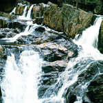
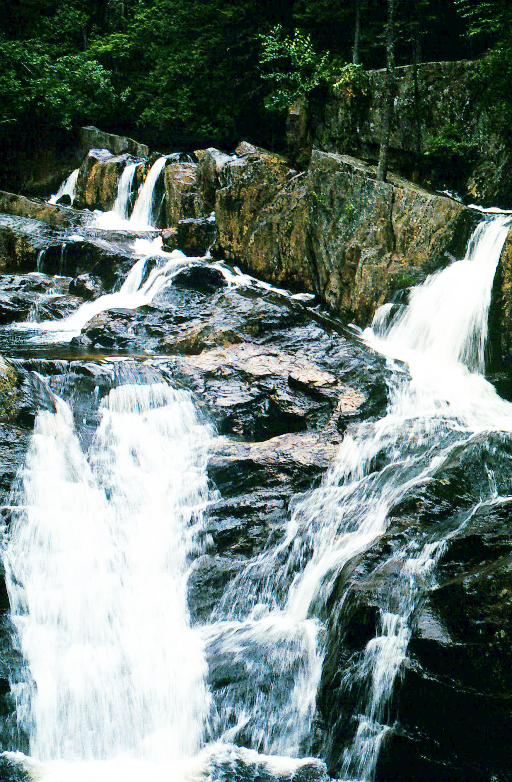
One of the Sandy River falls entices travelers at the Small's Falls rest area.
© July 1999 Maine Department of Transportation.
Download Original (1748 x 2668 pixels, 936.2 KB)
-

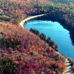
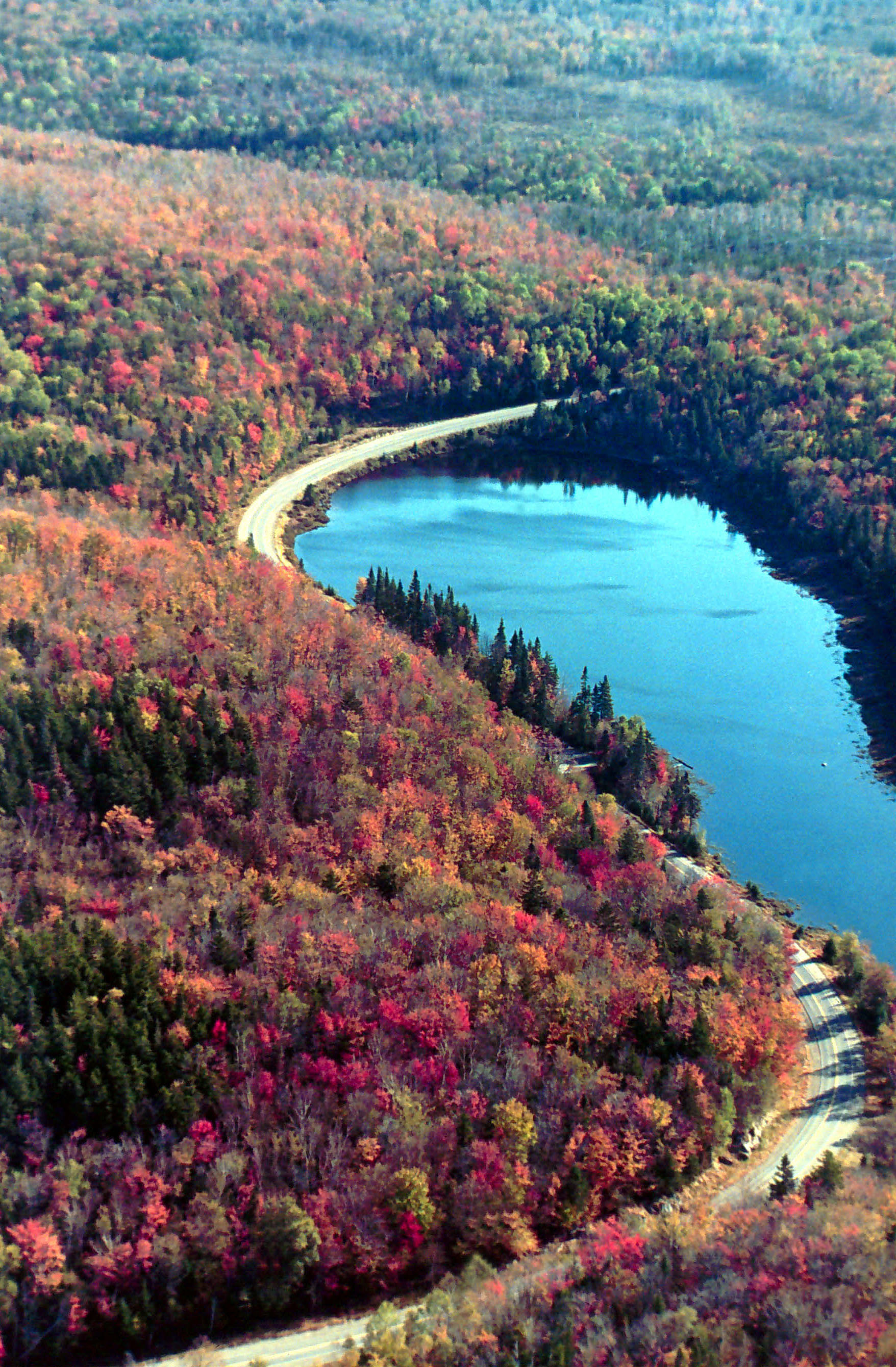
This aerial view of Route 17 shows the Rangeley Lakes Scenic Byway as it winds around Beaver Pond amidst a forest bright with autumn color.
© September 1999 Maine Department of Transportation.
Download Original (1756 x 2676 pixels, 1006.4 MB)
-
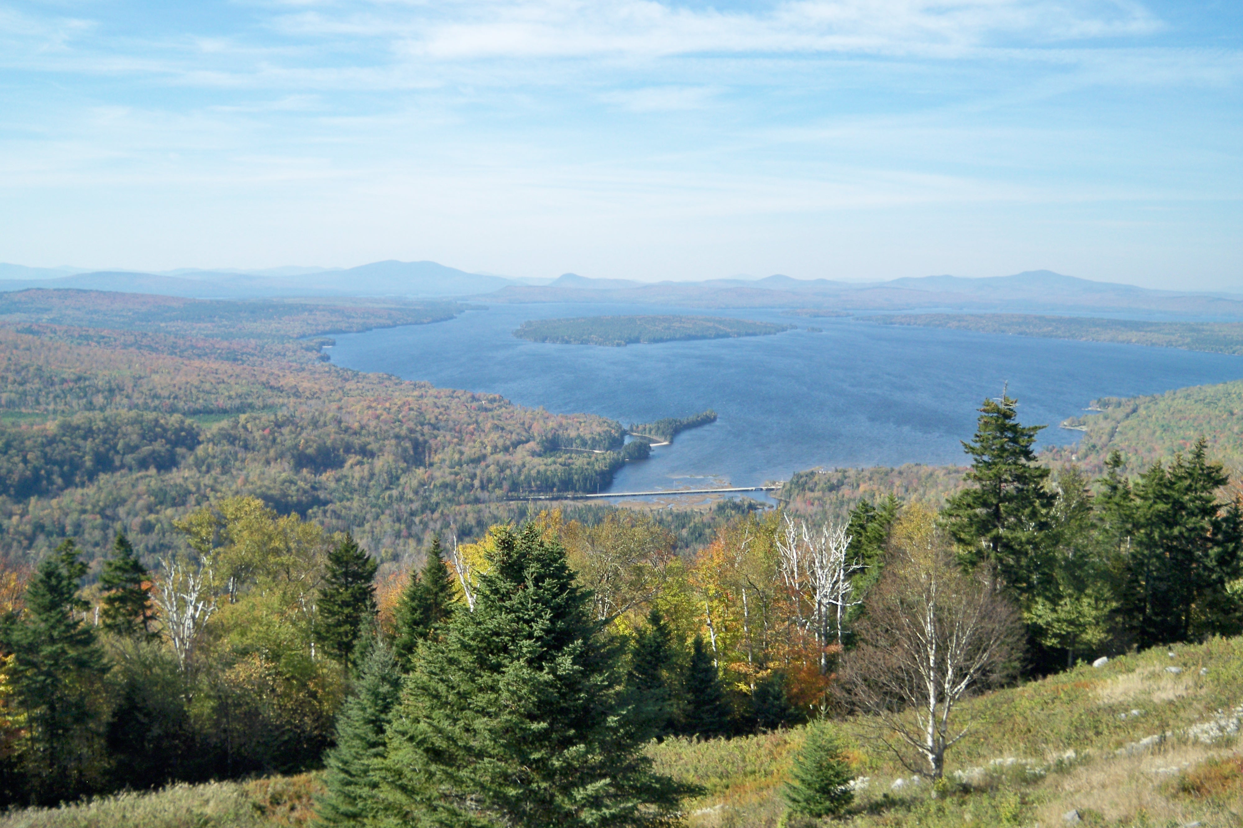
Toothaker Island sits in the middle of Mooselookmeguntic Lake.
© November 1999 Maine Department of Transportation.
Download Original (2668 x 1748 pixels, 1438.6 MB)
-
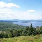
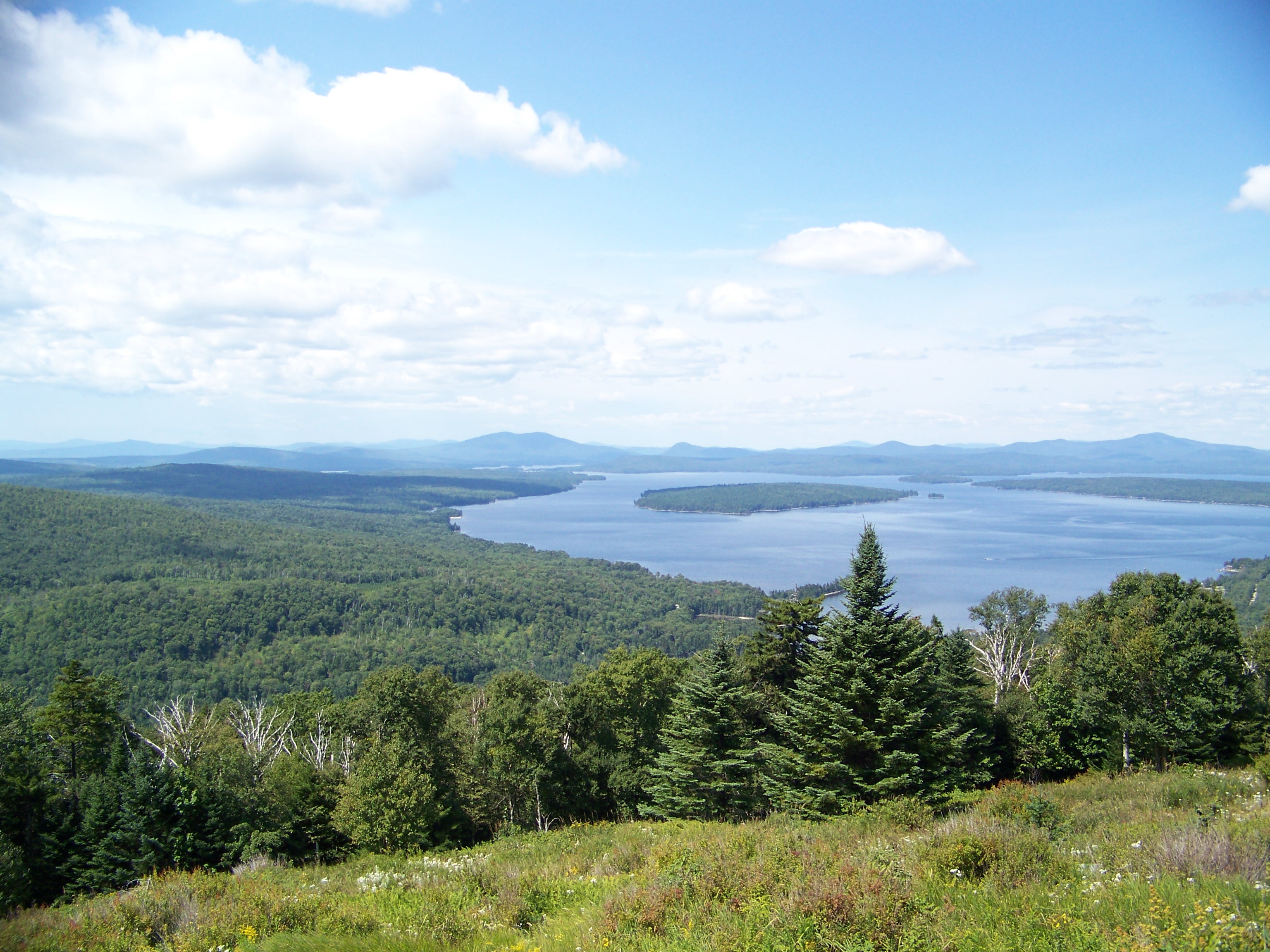
The Height of Land provides summer visitors with a stunning view of Maine's forest and Mooselookmeguntic Lake.
Public Domain. Photo by Thomas A. Pearl
Download Original (3072 x 2304 pixels, 1591.8 MB)
-
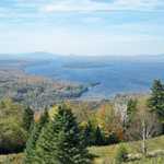
An autumn view from the Height of Land shows evergreen trees among the orange, yellow, and red trees surrounding Mooselookmeguntic Lake.
Public Domain. Photo by Thomas A. Pearl
Download Original (4000 x 2664 pixels, 1830.3 MB)
-
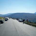
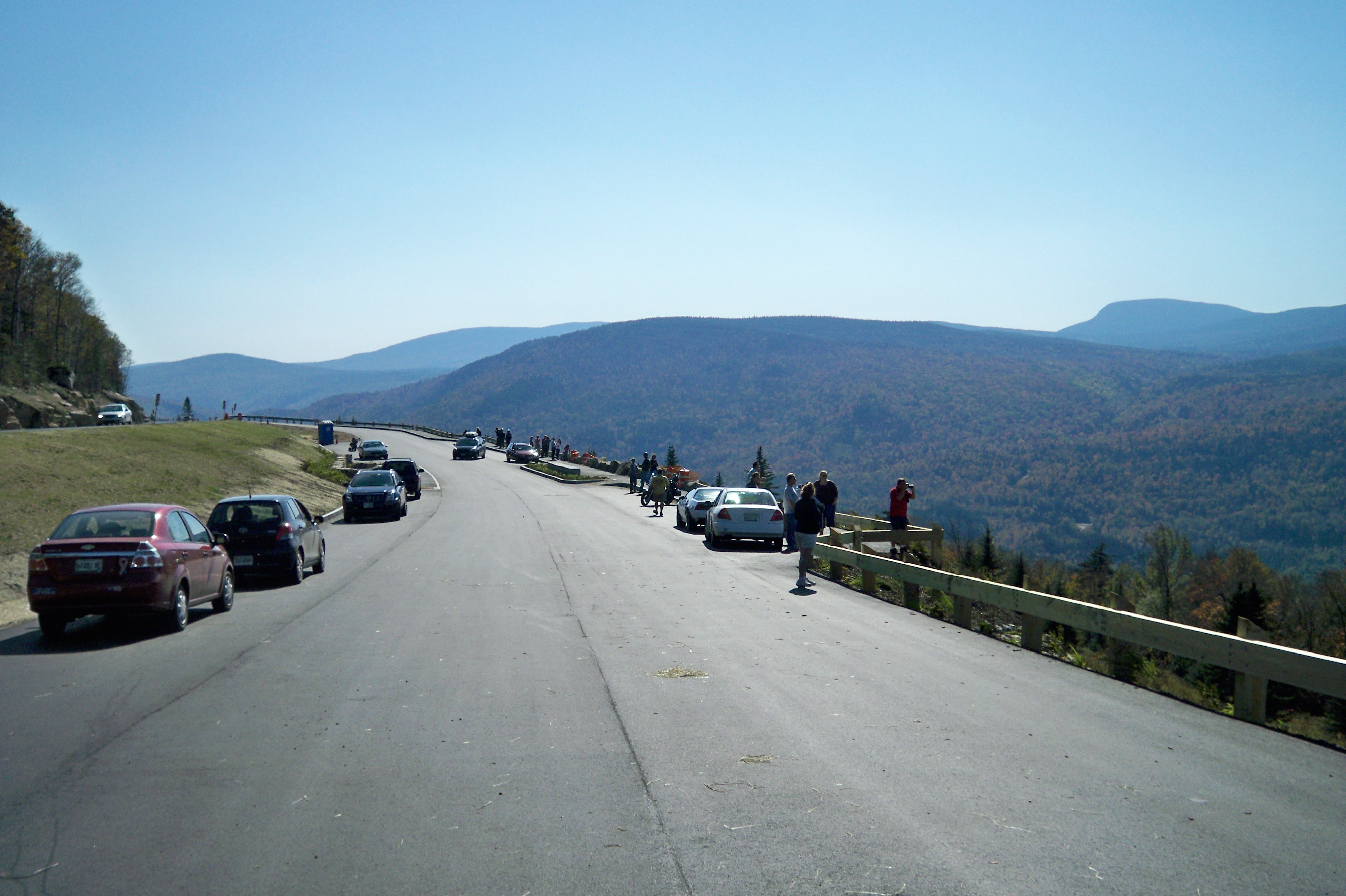
Tourists gather at the Height of Land Lookout to enjoy the view of Maine's natural beauty.
Public Domain. Photo by Thomas A. Pearl
Download Original (4000 x 2664 pixels, 1407.0 MB)
-
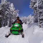
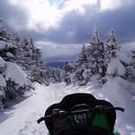
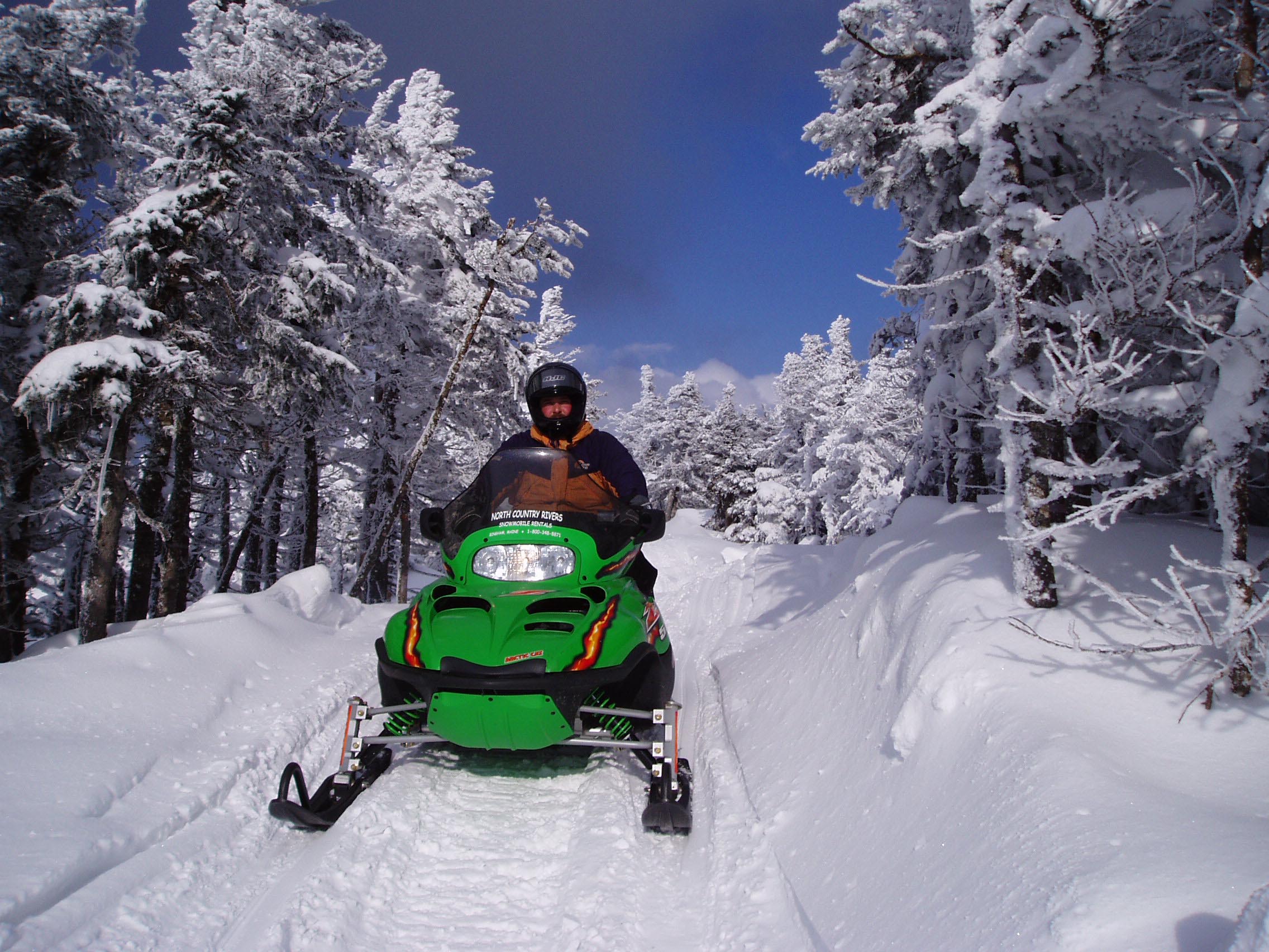
A rider in a bright green sled takes to a narrow trail near Rangeley Lakes Scenic Byway.
Public Domain. North Country Rivers Bingham ME
Download Original (2272 x 1704 pixels, 571.4 KB)
-
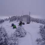
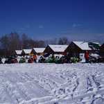
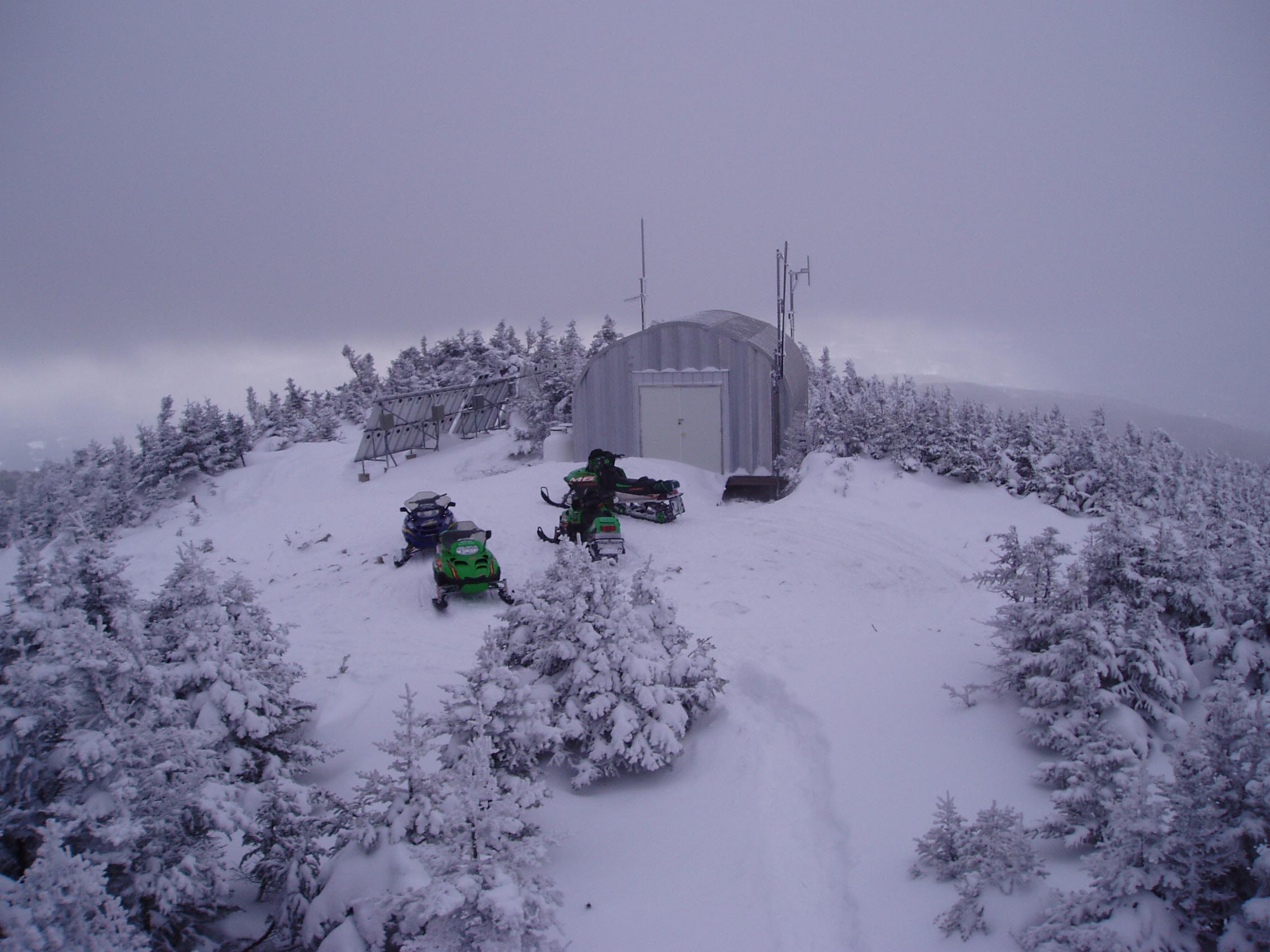
A small cluster of snowmobiles wait near a shed among snow-blanketed conifers.
Public Domain. North Country Rivers Bingham ME
Download Original (2272 x 1704 pixels, 316.1 KB)
-

This circular image shows the cool, vivid colors of wild lupine along the Rangeley Lakes Scenic Byway.
© June 2006 Sandra Roseberry.
Download Original (1320 x 1232 pixels, 394.5 KB)