
Haines Highway - Valley of the Eagles
All Photos (19)
-
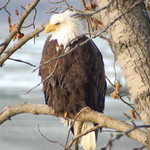
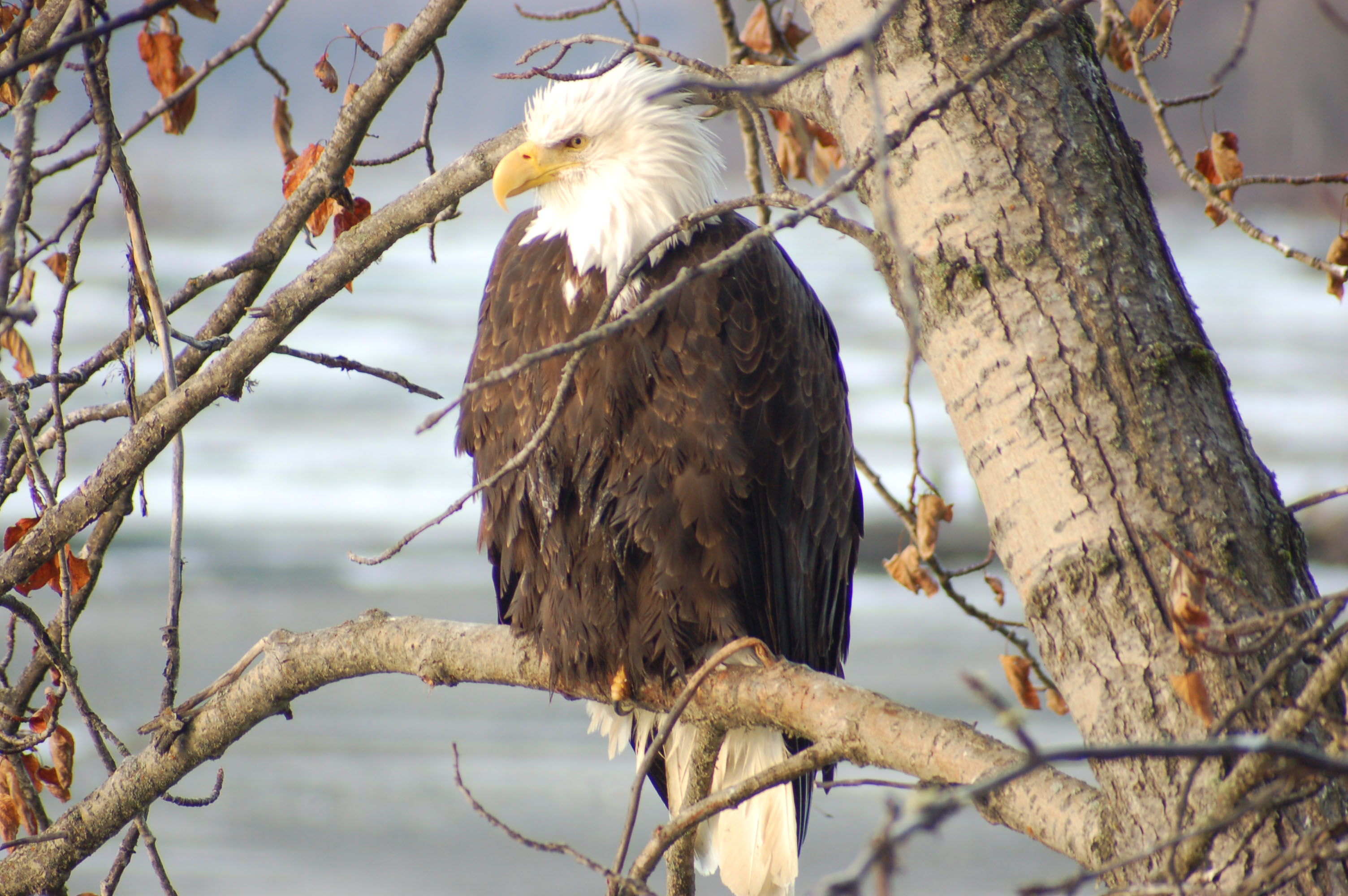
Morning sunlight illuminates a Bald Eagle as it sits in a tree in the Alaska Chilkat Bald Eagle Preserve.
Public Domain. Photo by Lori Stepansky
Download Original (3008 x 2000 pixels, 801.9 KB)
-
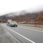
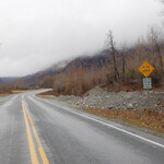
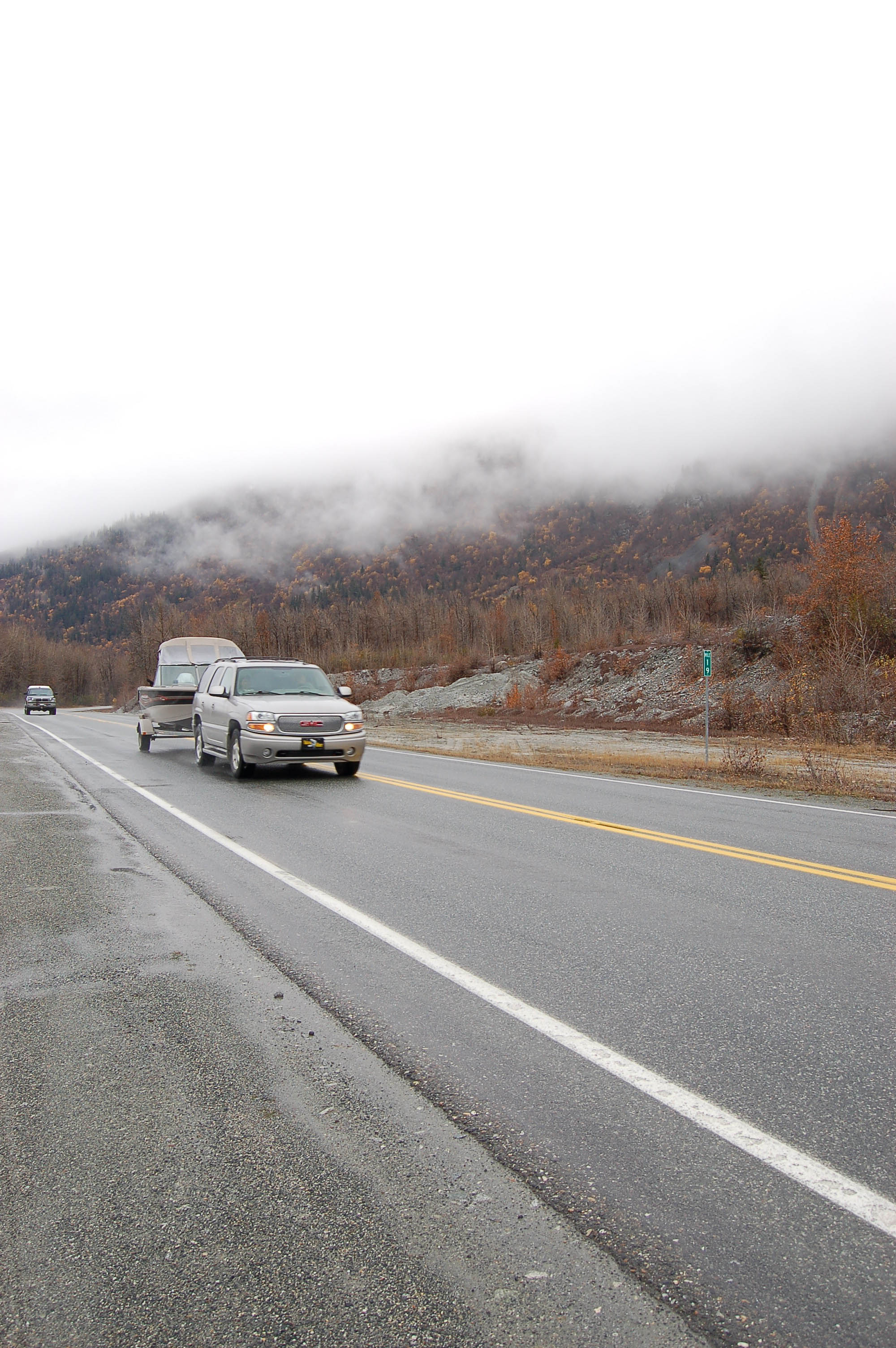
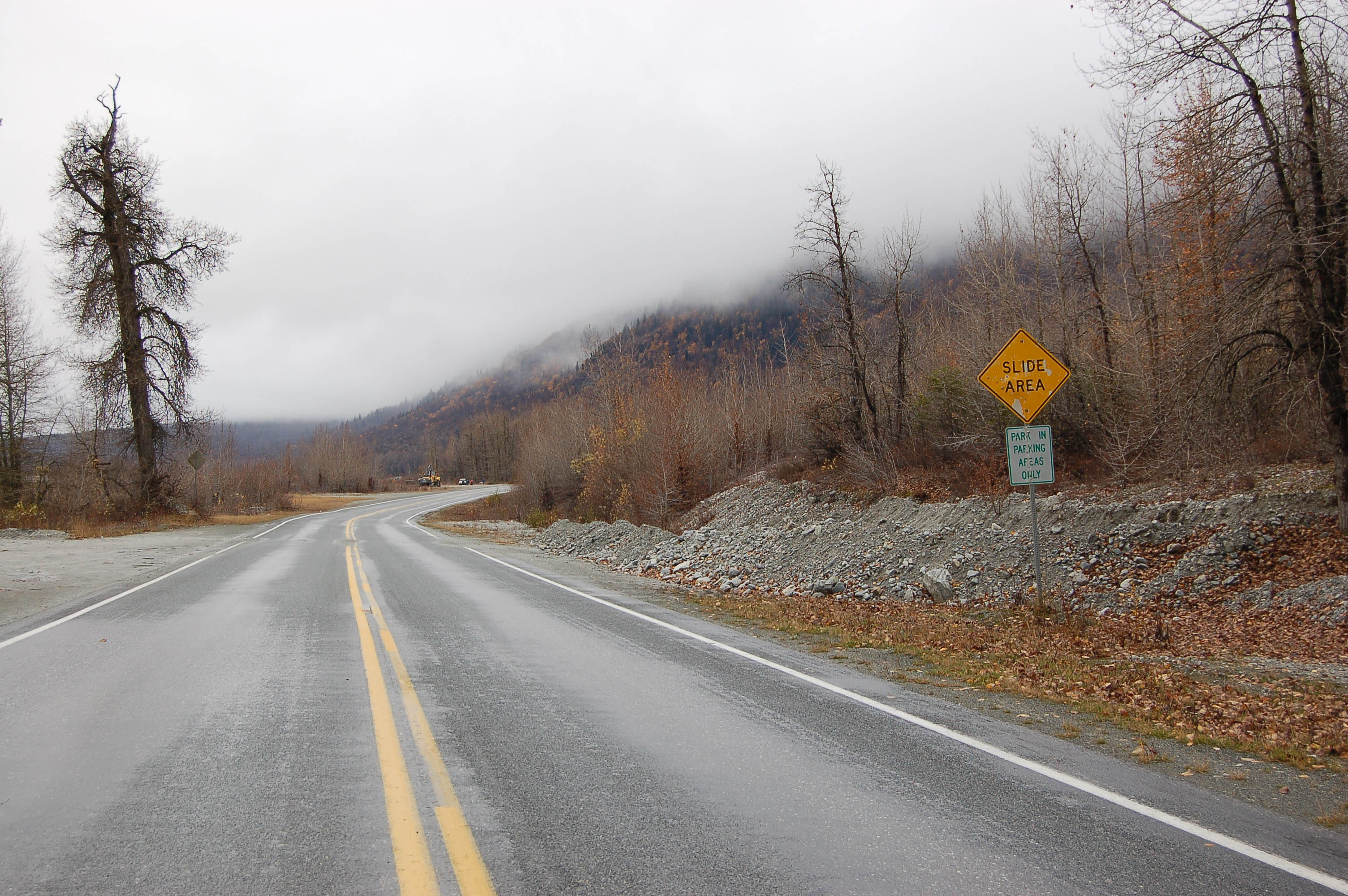
Clouds hang low over a russet-colored mountainside as a vehicle passes by one of the green mile markers on the Haines Highway at the Kluktoo Slide area.
Public Domain. Lori Stepansky
Download Original (2000 x 3008 pixels, 820.4 KB)
-
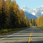
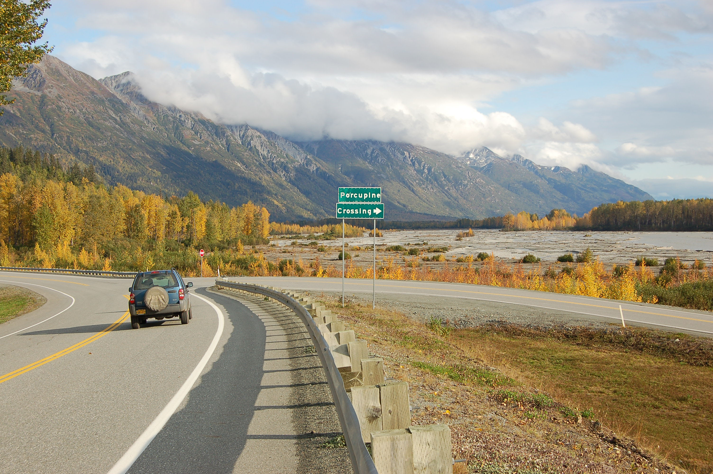
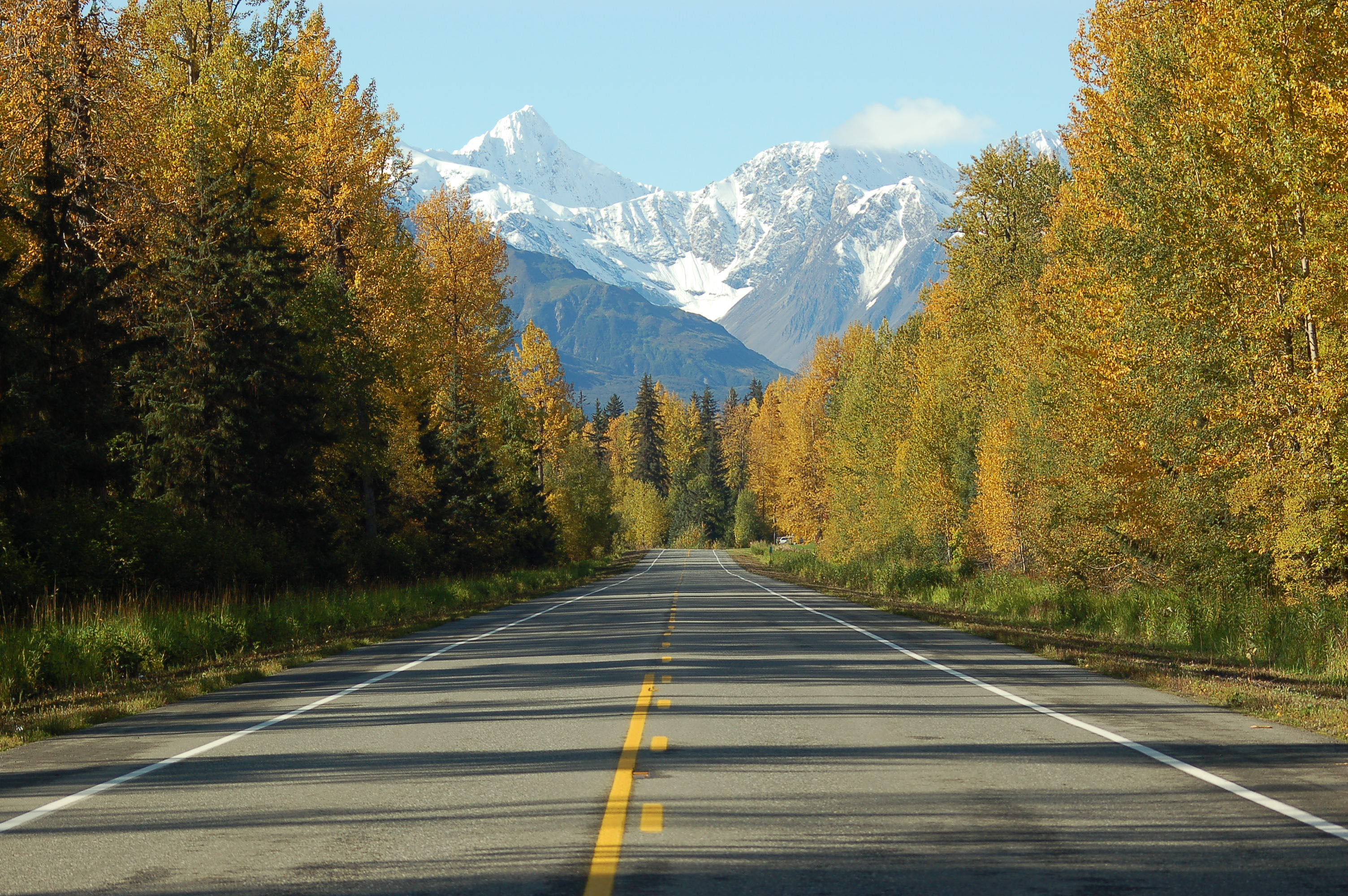
A car headed south on the Haines Highway approaches the Porcupine Crossing turnoff. Clouds spill over the mountain range ahead and the trees by the roadside are colored gold for autumn.
Public Domain. Lori Stepansky
Download Original (3008 x 2000 pixels, 1344.7 MB)
-

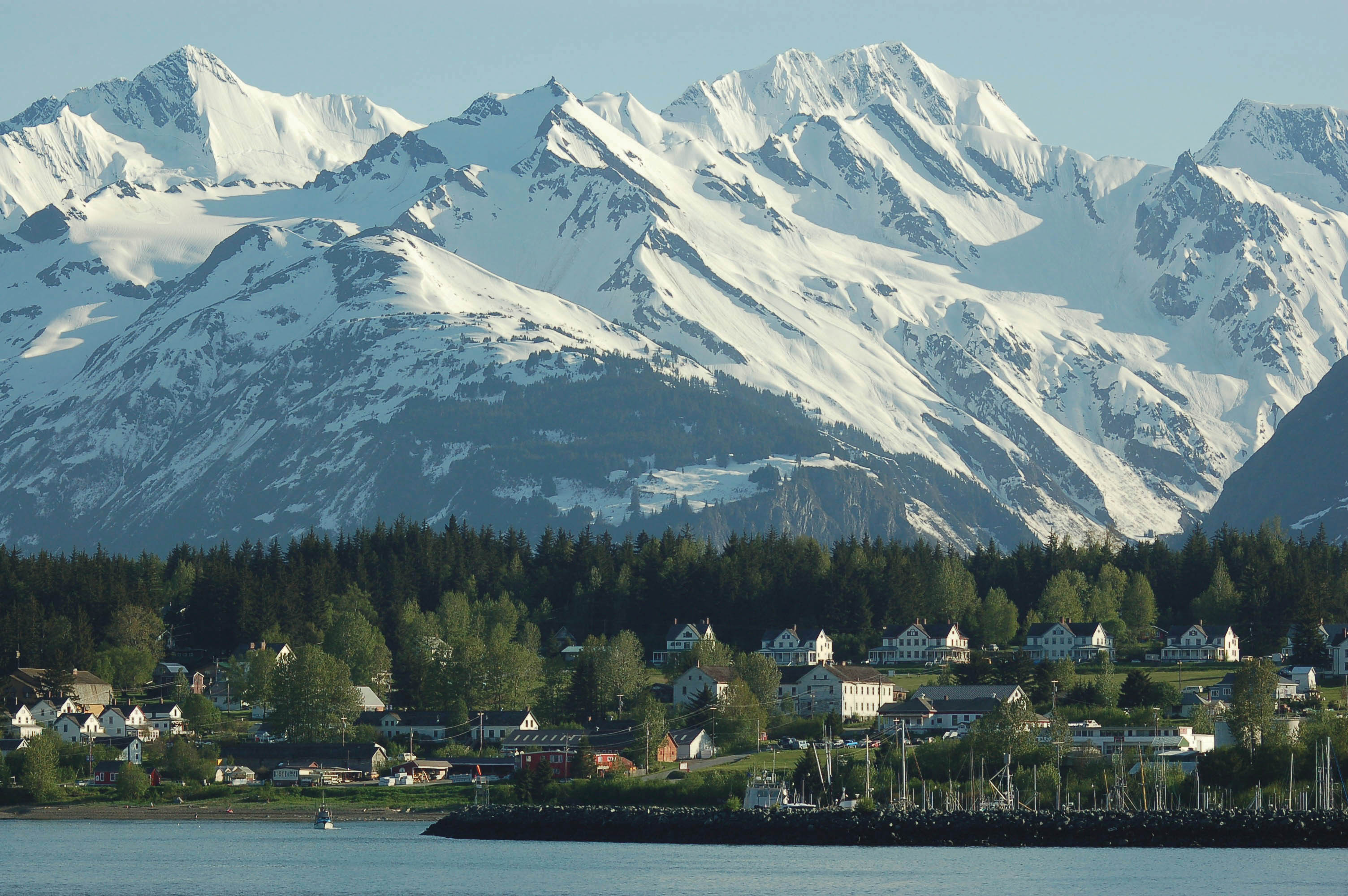
Snowcovered with the backdrop of the Chilkat Mountains form a backdrop to a picturesque view of the white buildings of Historical Fort William H. Seward on a drive towards downtown Haines from the Ferry Terminal.
Public Domain. Lori Stepansky
Download Original (3008 x 2000 pixels, 756.4 KB)
-
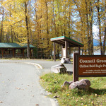
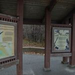
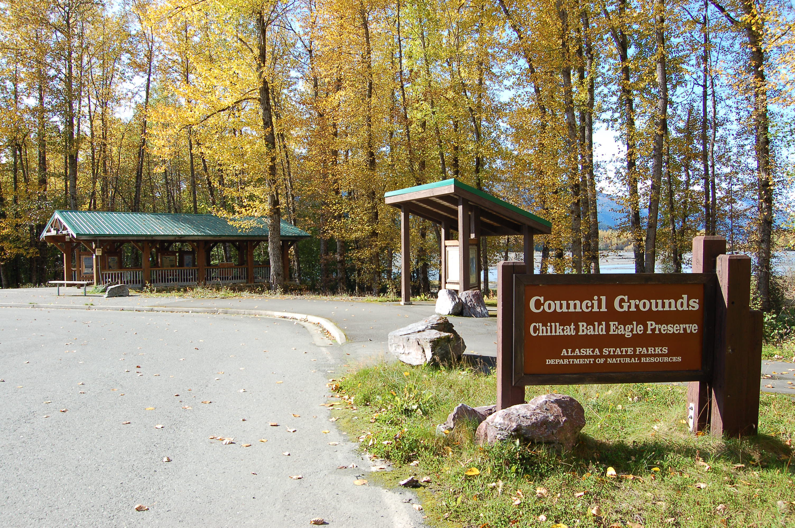
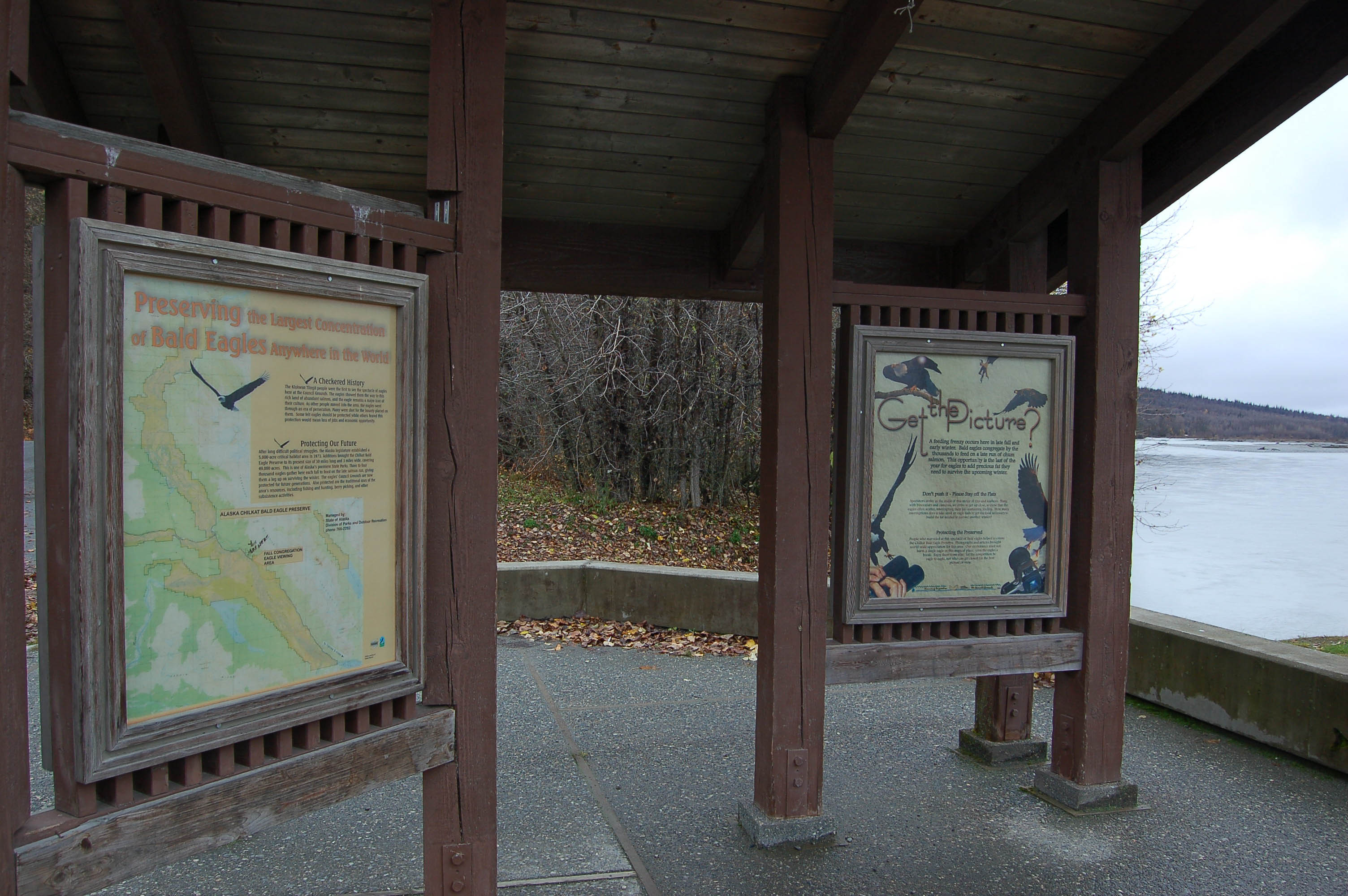
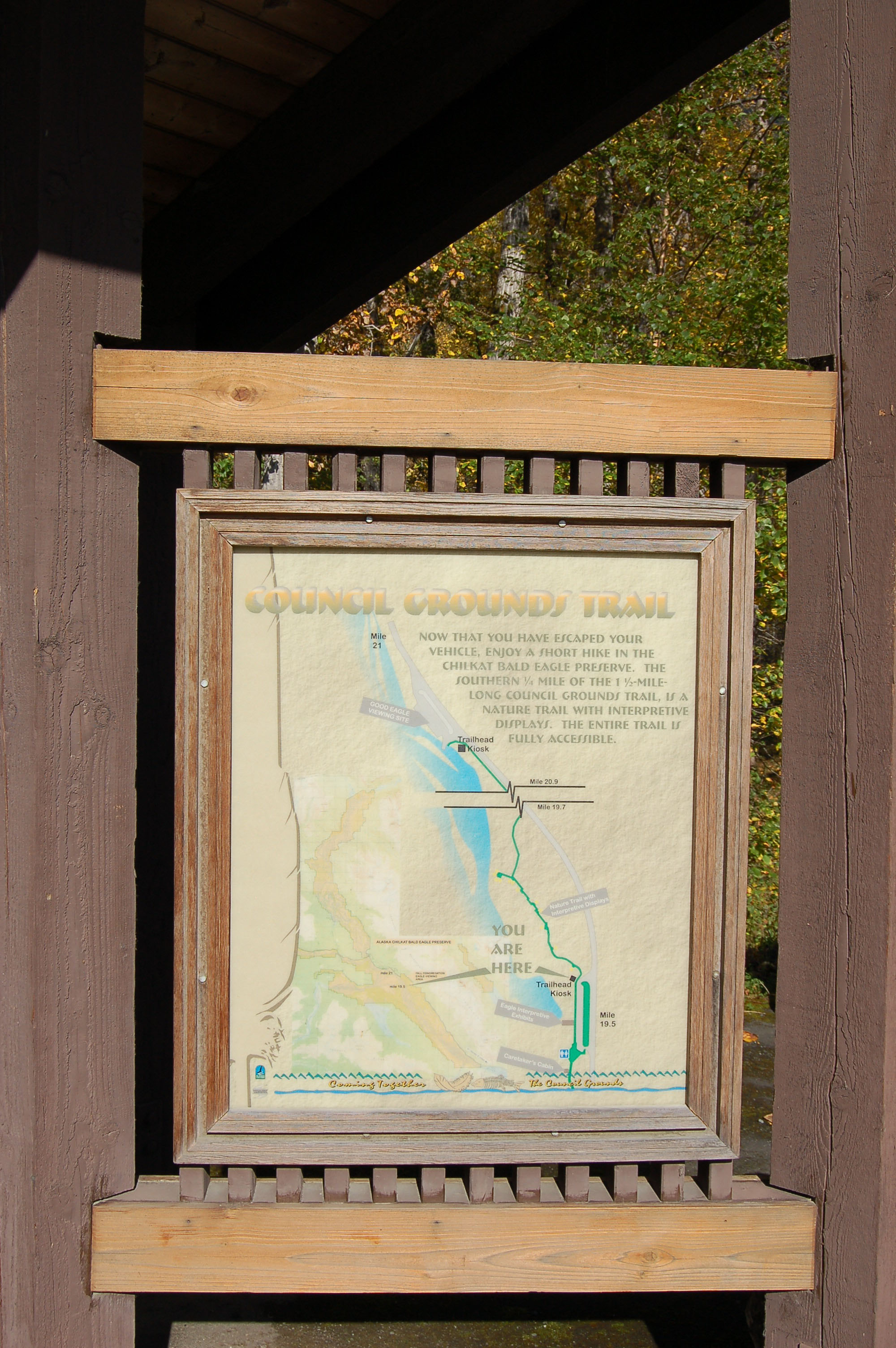
The Council Grounds informational pullout has information kiosks where visitors can learn more about the Alaska Chilkat Bald Eagle Preserve.
Public Domain. Lori Stepansky
Download Original (3008 x 2000 pixels, 2026.0 MB)
-
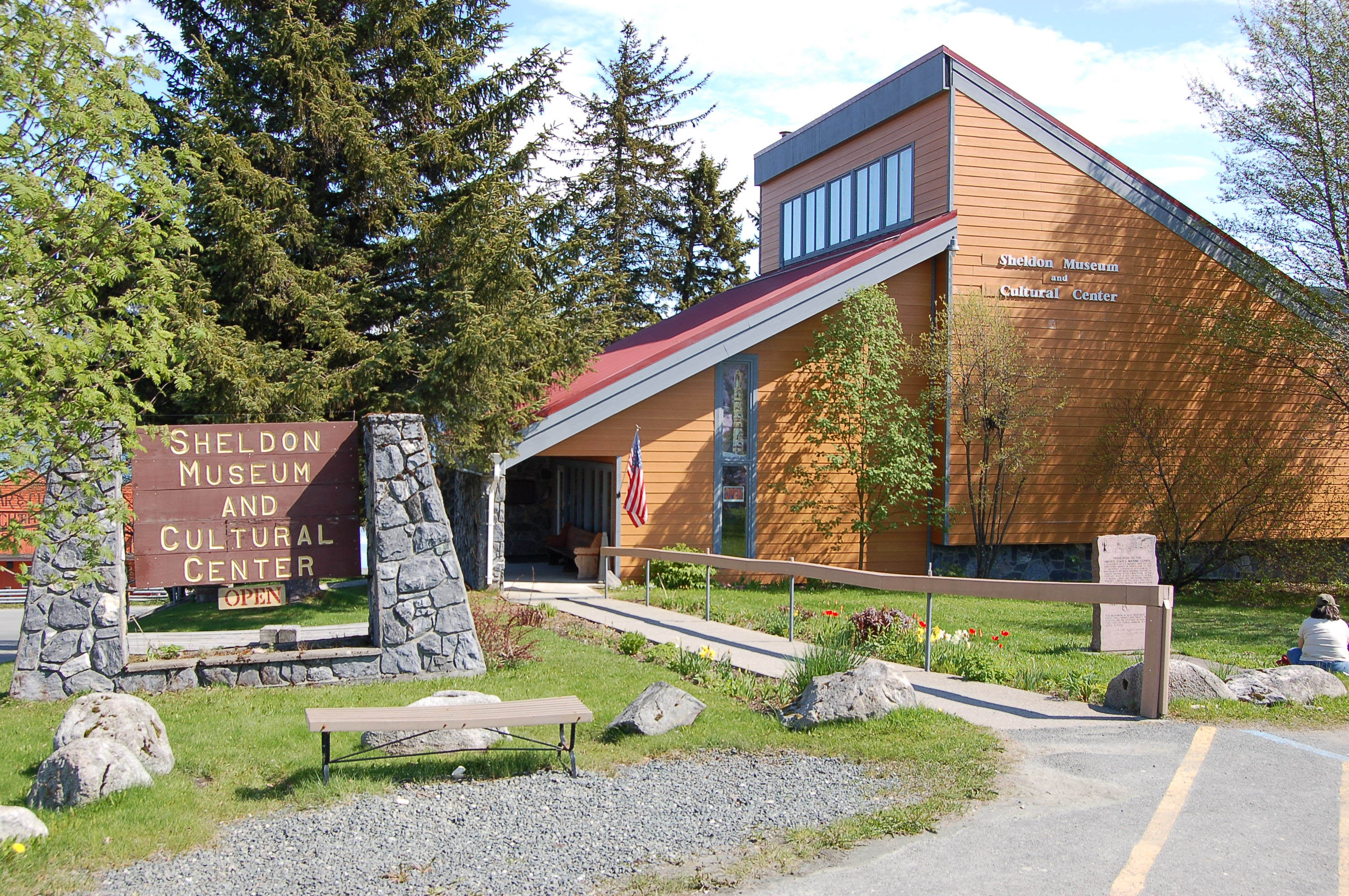
The Sheldon Museum and Cultural Center, on Main Street in Haines, is an orange-tan building with striking, triangular architecture.
Public Domain. Lori Stepansky
Download Original (3008 x 2000 pixels, 1410.5 MB)
-
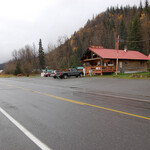
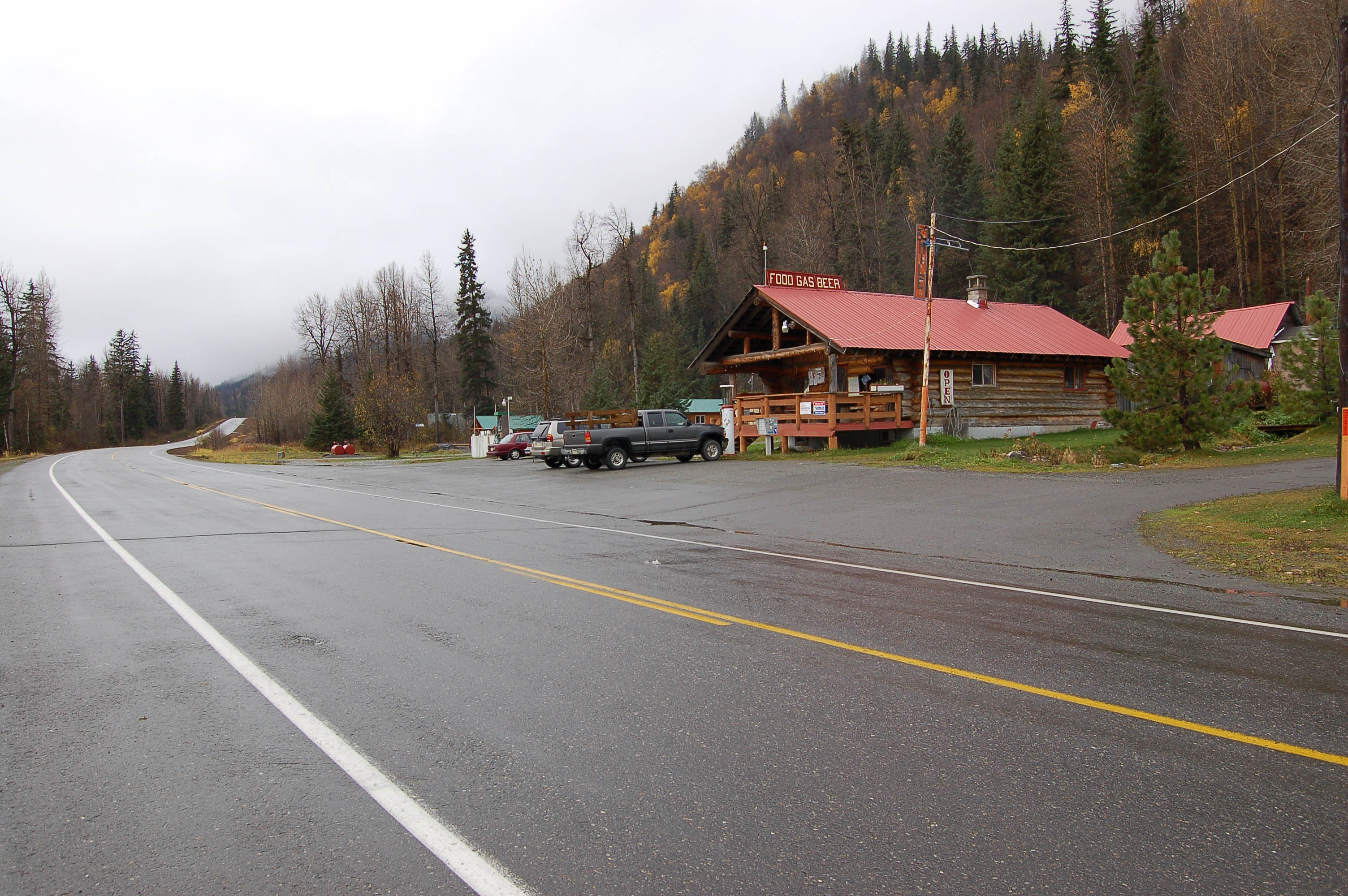
The 33-Mile Roadhouse along the Haines Highway is a small haven known for its specialty hamburgers. Fuel services are also available.
Public Domain. Lori Stepansky
Download Original (3008 x 2000 pixels, 857.7 KB)
-
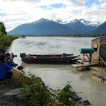
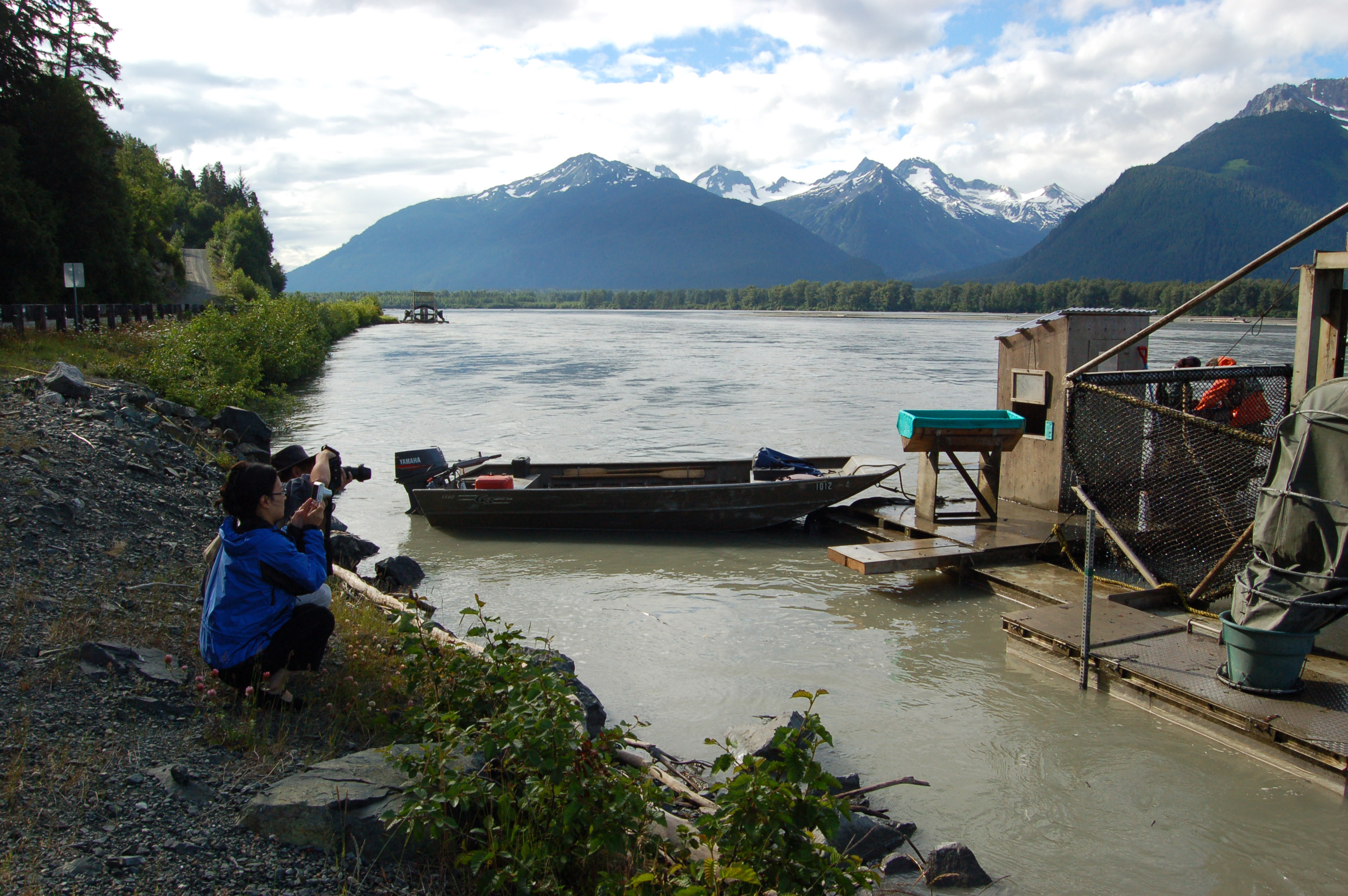
Two Chinese visitors photograph the fish wheel in action while another fish wheel can be seen in place down river in the background.
Public Domain. Lori Stepansky
Download Original (3008 x 2000 pixels, 1261.7 MB)
-
Interpretive panels about eagles stand under shelters at North Council Grounds, where visitors can see views of the river valley.
Public Domain. Lori Stepansky
Download Original (3008 x 2000 pixels, 724.3 KB)
-
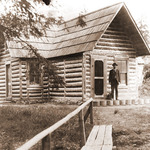
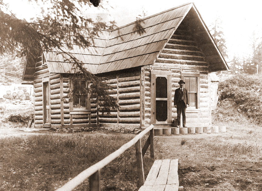
In this vintage photo, founder and owner Charles Anway stands by his home, today known as the Anway Homestead House.
Public Domain. Courtesy of Sheldon Museum
Download Original (853 x 621 pixels, 236.3 KB)
-
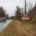
The northbound Haines Highway approaches the area of an old slide which devastated the Tlingit village of Kluktoo.
Public Domain. Lori Stepansky
Download Original (3008 x 2000 pixels, 883.4 KB)
-
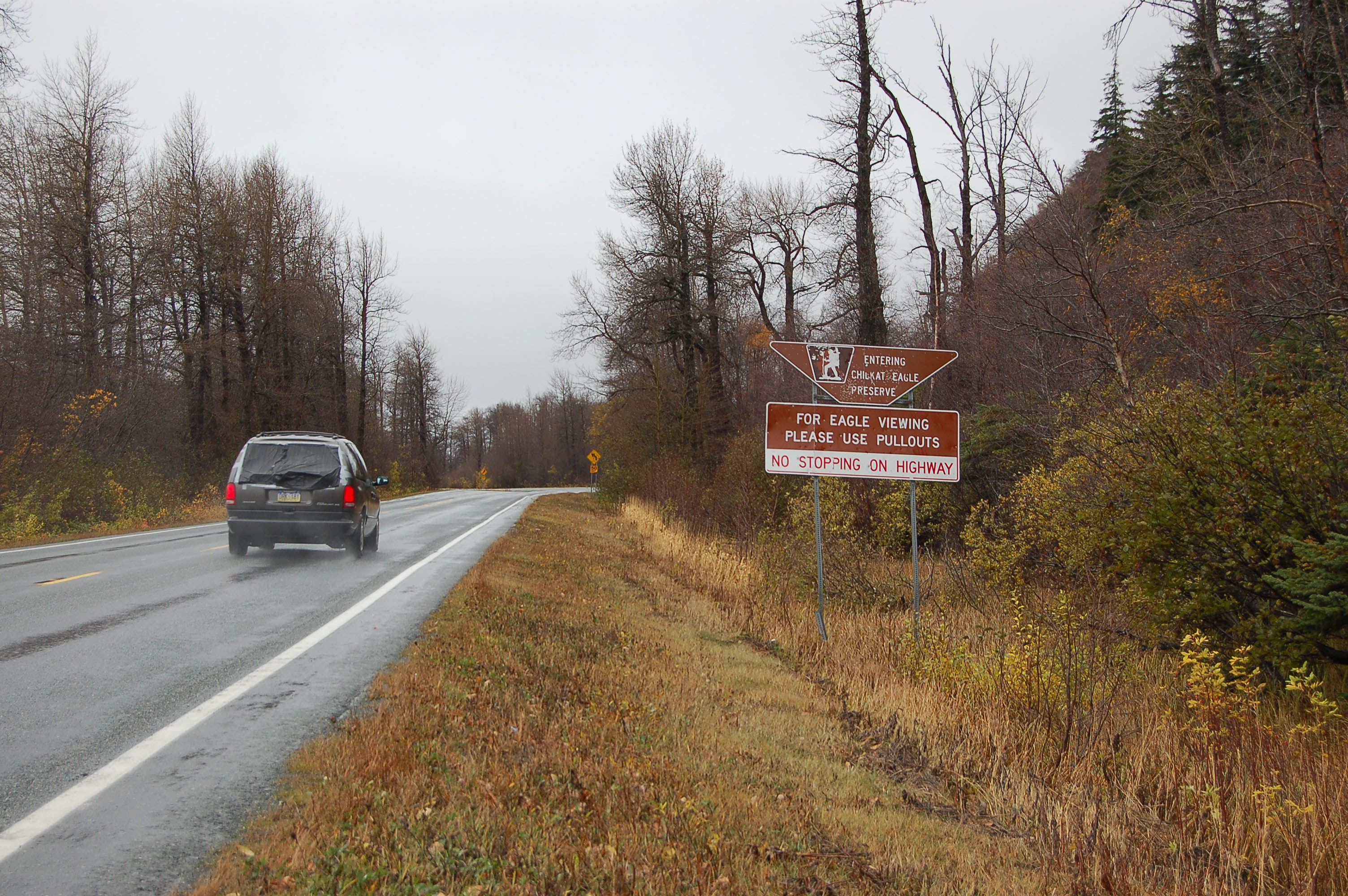
Driving up the Haines Highway, you know you are entering the Alaska Chilkat Bald Eagle Preserve from the sign on the right.
Public Domain. Lori Stepansky
Download Original (3008 x 2000 pixels, 1037.1 MB)
-

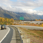
At Mile Point 32, the driver sees the road heading directly north with the mountains of Alaska and Canada on the horizon and catches his or her breath knowing the only connection between them and this untouched, natural setting is the Haines Highway itself.
Public Domain. Lori Stepansky
Download Original (3008 x 2000 pixels, 1672.3 MB)
-
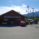
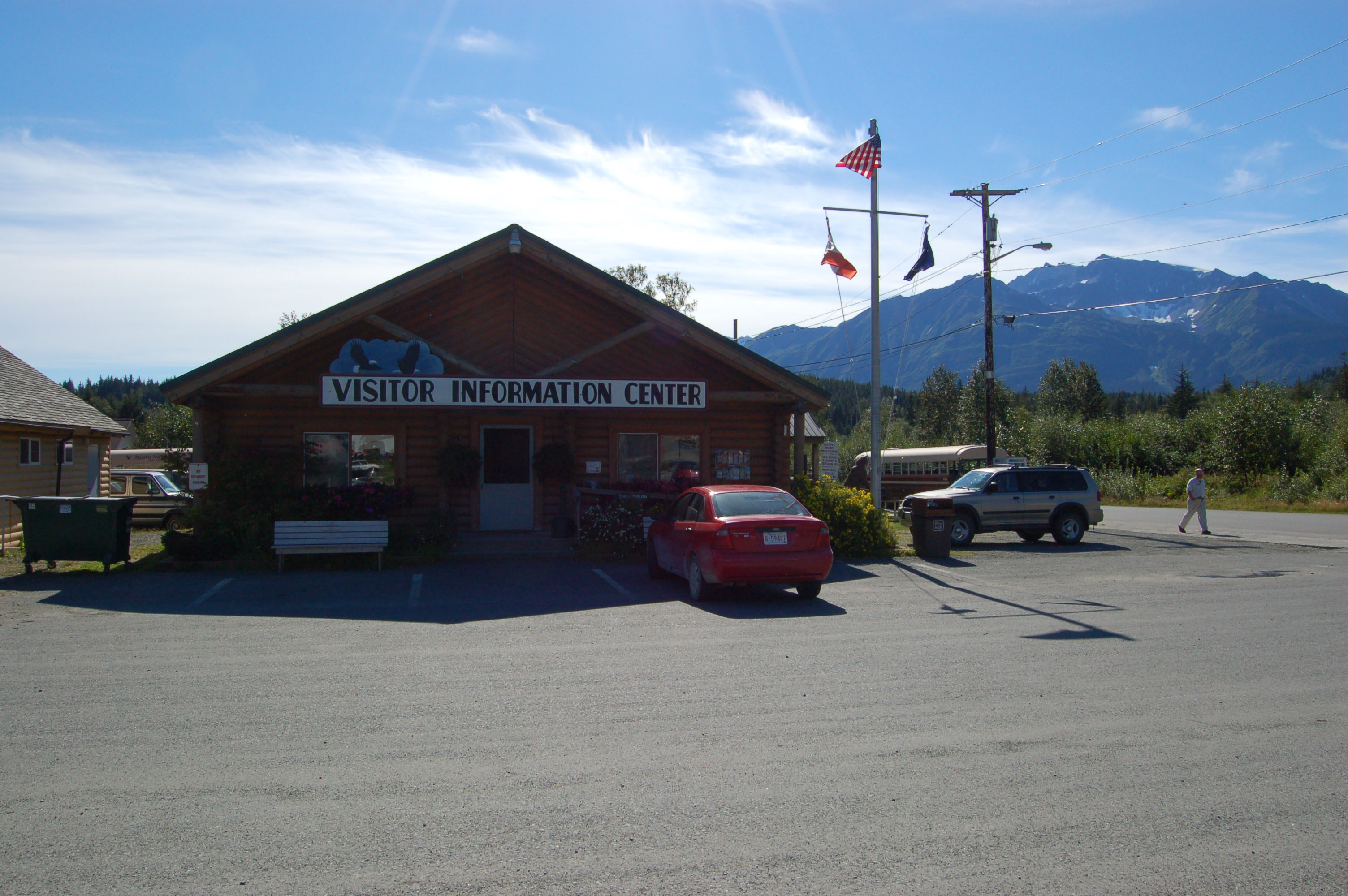
Haines Highway drivers park in front of the log cabin Haines Visitor Center while enjoying the backdrop view of the Chilkat Mountains.
Public Domain. Lori Stepansky
Download Original (3008 x 2000 pixels, 818.3 KB)
-
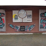
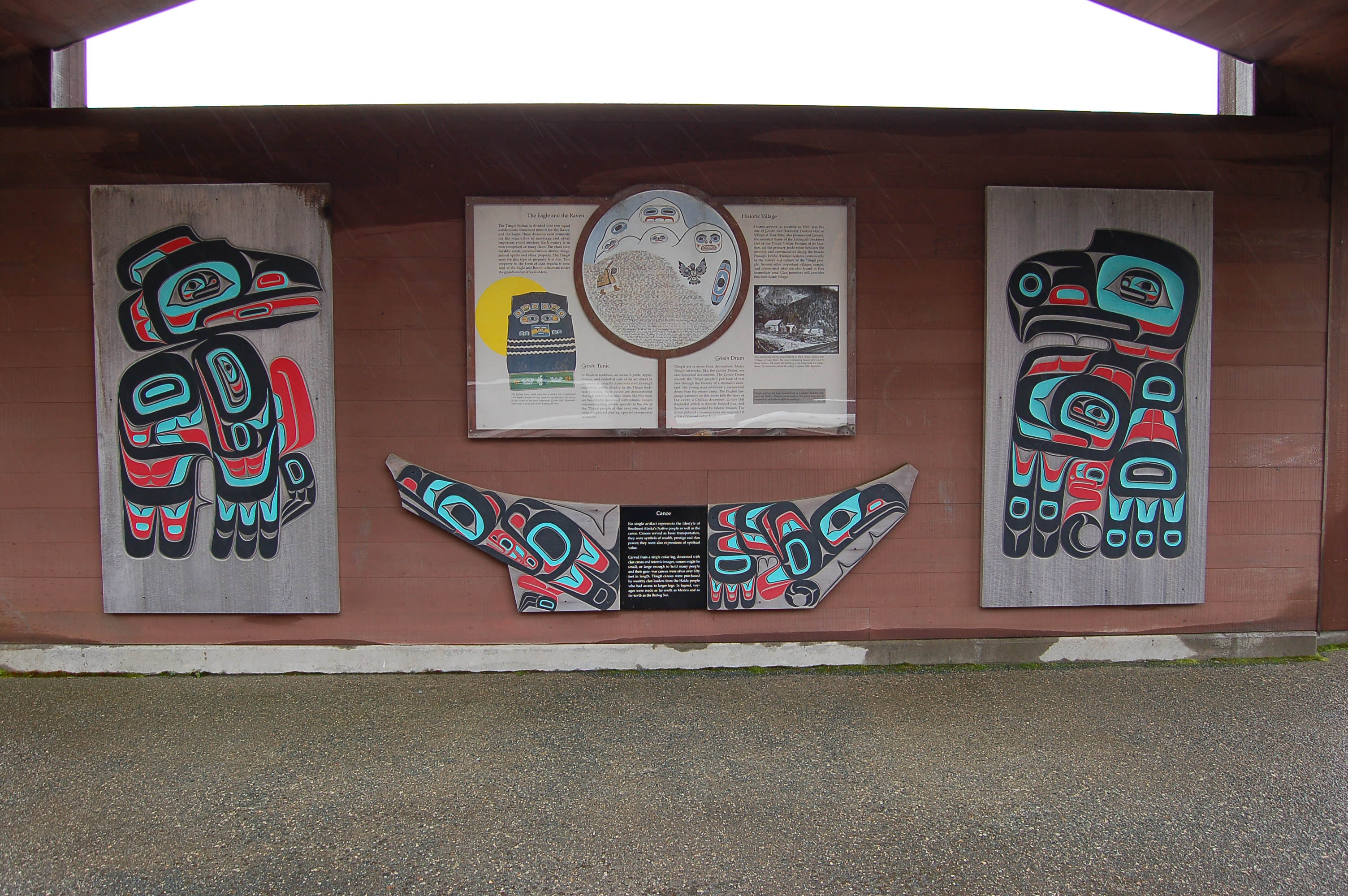
A large interpretive area with colorful images and panels telling about the Tlingit Culture can be seen in the Haines Airport's parking area.
Public Domain. Lori Stepansky
Download Original (3008 x 2000 pixels, 876.8 KB)
-
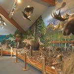
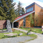
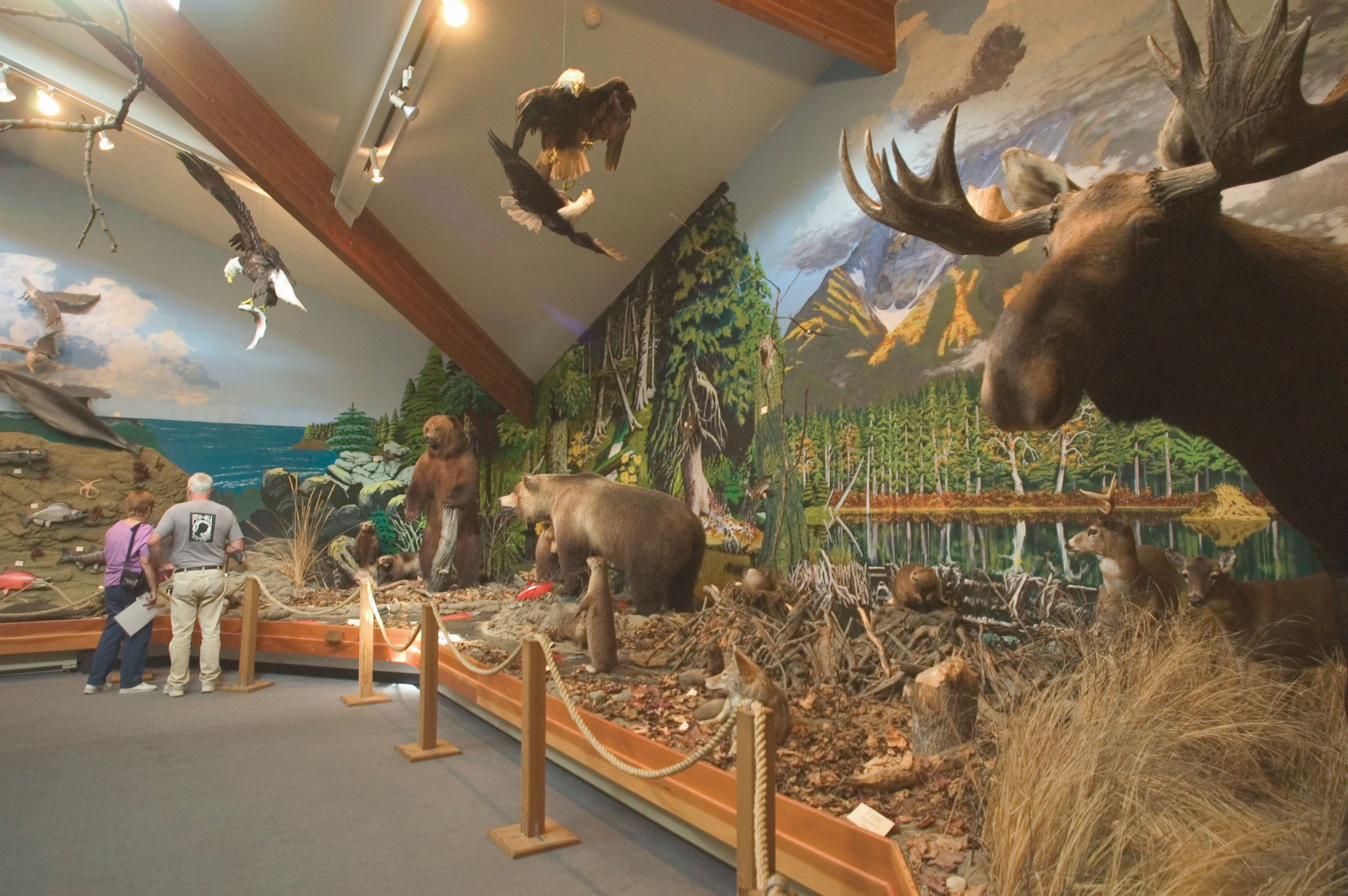
Visitors view the diorama of eagles and animals indigenous to the Haines area at the American Bald Eagle Foundation.
Public Domain. Photo by Matt Hage
Download Original (3008 x 2000 pixels, 826.5 KB)
-
A map and interpretive panel at the Council Grounds information area shows a trail that takes off into the woods.
Public Domain. Lori Stepansky
Download Original (2000 x 3008 pixels, 983.3 KB)
-
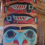
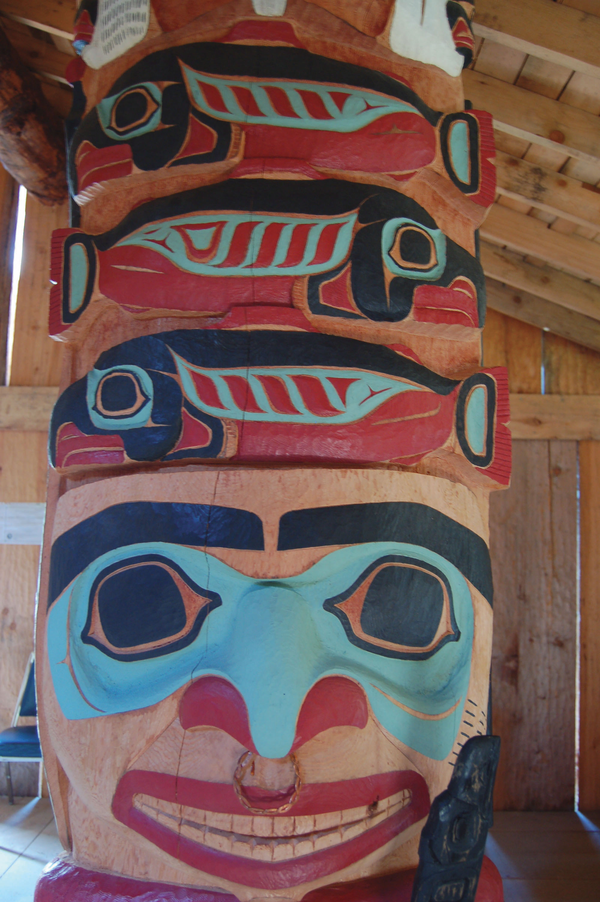
A totem within the legendary walls of the Tlingit's Long House smiles at visitors, encouraging them on their journey.
Public Domain. Lori Stepansky
Download Original (2000 x 3008 pixels, 659.3 KB)
-
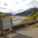
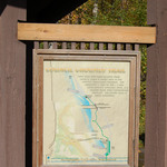
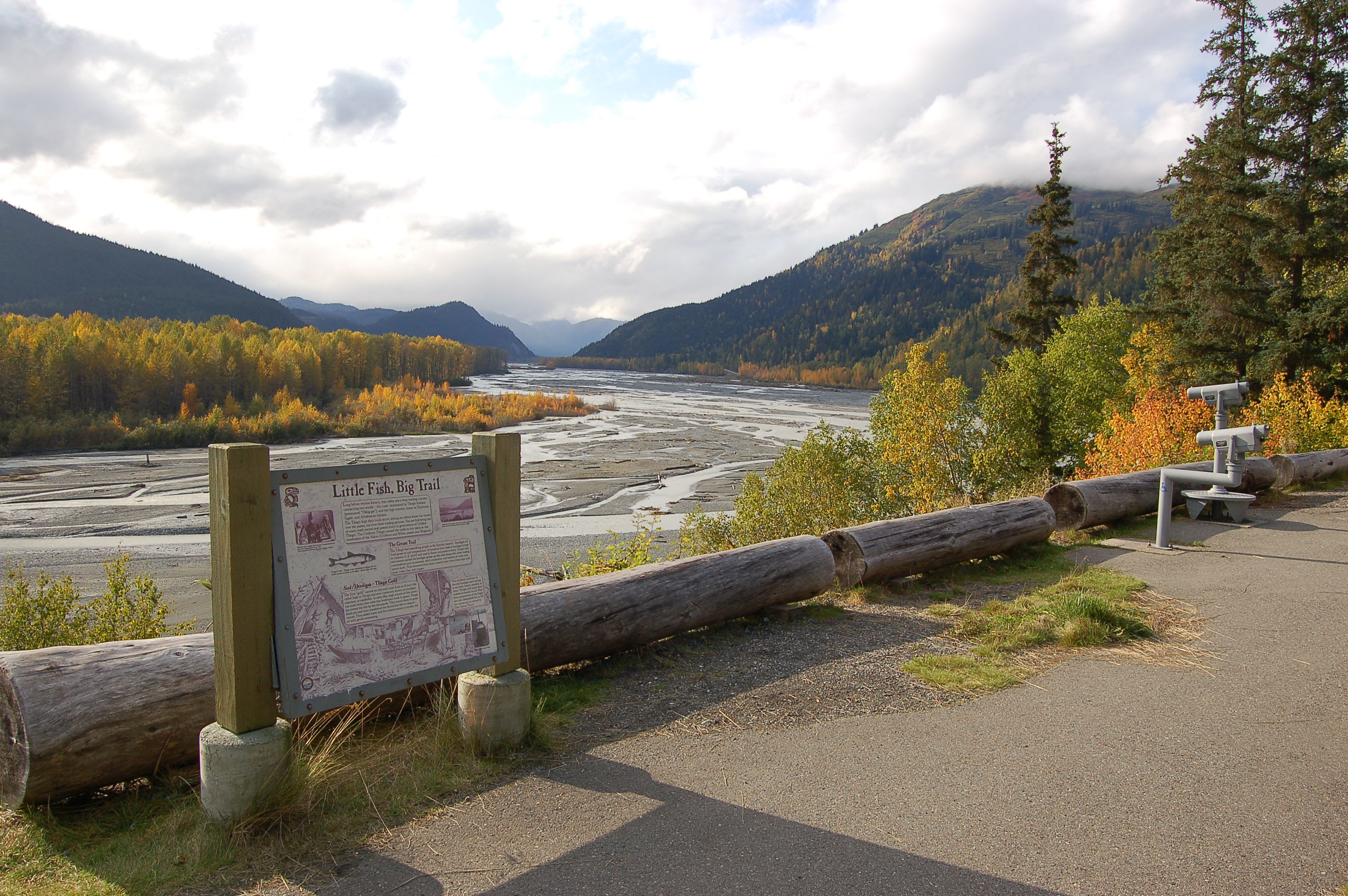
An interpretive panel at the Klehini River Scenic Viewing Area describes the history of expanse of the Chilkat River Valley. The area also provides scopes to look for wildlife along the banks of the river and eagles in the trees.
Public Domain. Lori Stepansky
Download Original (3008 x 2000 pixels, 1391.9 MB)