Wisconsin Lake Superior Scenic Byway

Wisconsin Lake Superior Scenic Byway

National Scenic BywayWisconsin

All Photos (11)

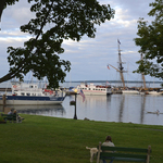
  • 1-BayfieldShoreline

    People relaxing in the park overlooking the Bayfield city dock and Madeline Island.

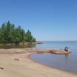
  • F10QuarryBeach

    People at Quarry Beach in the Port Wing Boreal Forest.

    Download Original (5312 x 2988 pixels, 3932.5 MB)

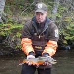
  • F1WhittleseyCreek

    Fish and Wildlife Service staff holds a coaster brook trout at the Whittlesey Creek National Wildlife Refuge.

    Download Original (624 x 468 pixels, 145.1 KB)

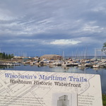
  • F2WalkingTrail

    Interpretive signage along the trail with marina in the background.

    Download Original (5312 x 2988 pixels, 4173.4 MB)

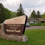
  • F3WashburnRangerStation

    The exterior of the Washburn Ranger District office.

    Download Original (4032 x 1960 pixels, 1888.2 MB)

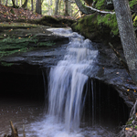
  • F4HoughtonFalls

    Water flowing at Houghton Falls.

    Download Original (2848 x 4288 pixels, 4944.3 MB)

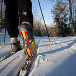
  • F5Ashwabay

    Nordic skier on trail at Mt. Ashwabay.

    Download Original (4368 x 2912 pixels, 3248.0 MB)

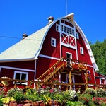
  • F6HauserBarn

    Exterior of historic barn at Hauser's Superior View Farm.

    Download Original (3699 x 4184 pixels, 4176.6 MB)

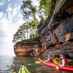
  • F7KayakingToSeaCaves

    Kayakers paddling to the sea caves.

    Download Original (4167 x 6250 pixels, 12419.2 MB)

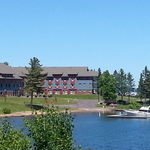
  • F8LegendaryWaters

    Hotel exterior and marina.

    Download Original (3264 x 2448 pixels, 1466.3 MB)

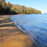
  • F9FrogBay

    The beach at Frog Bay.

    Download Original (979 x 1110 pixels, 511.3 KB)