
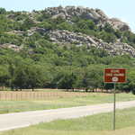
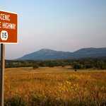
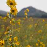
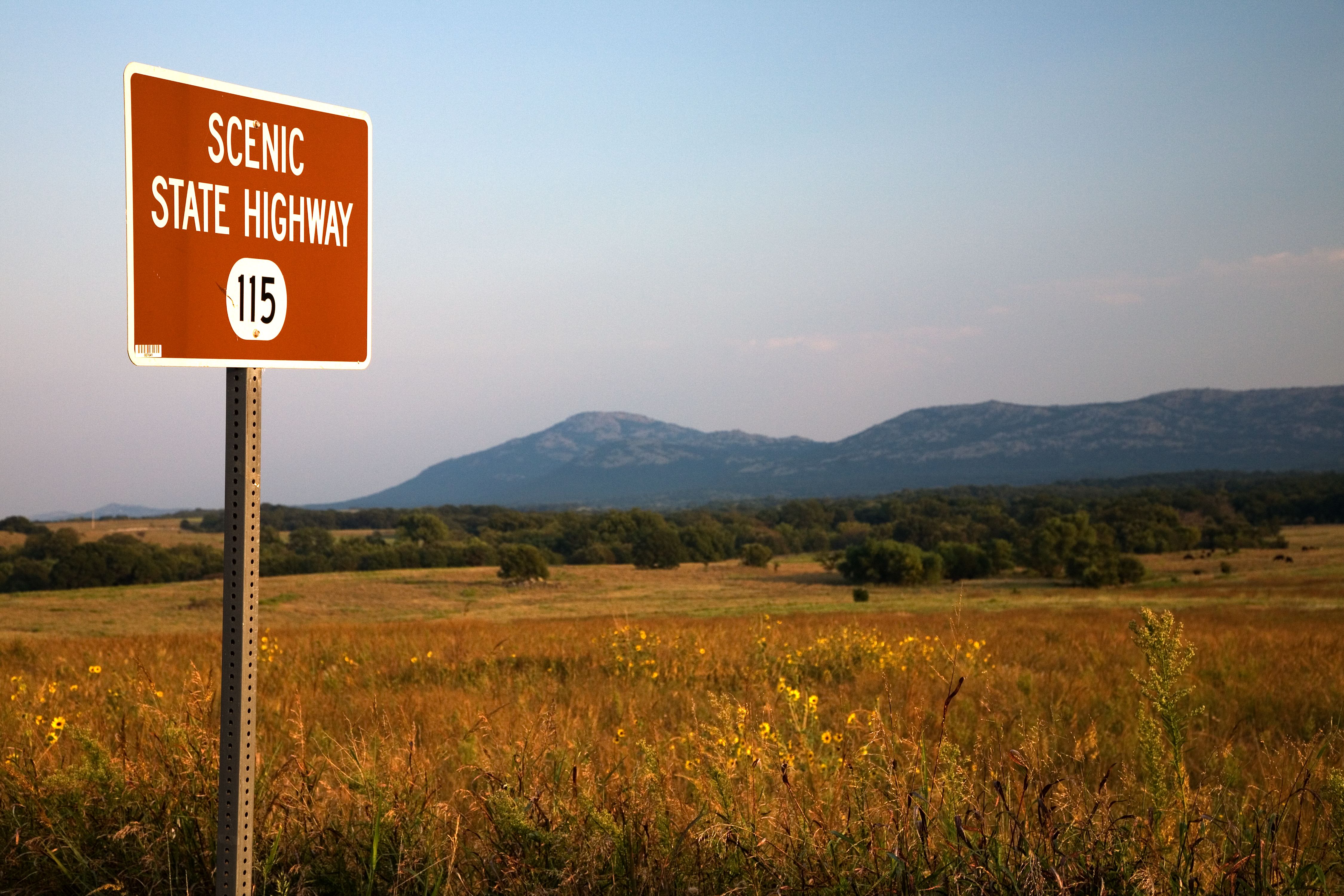
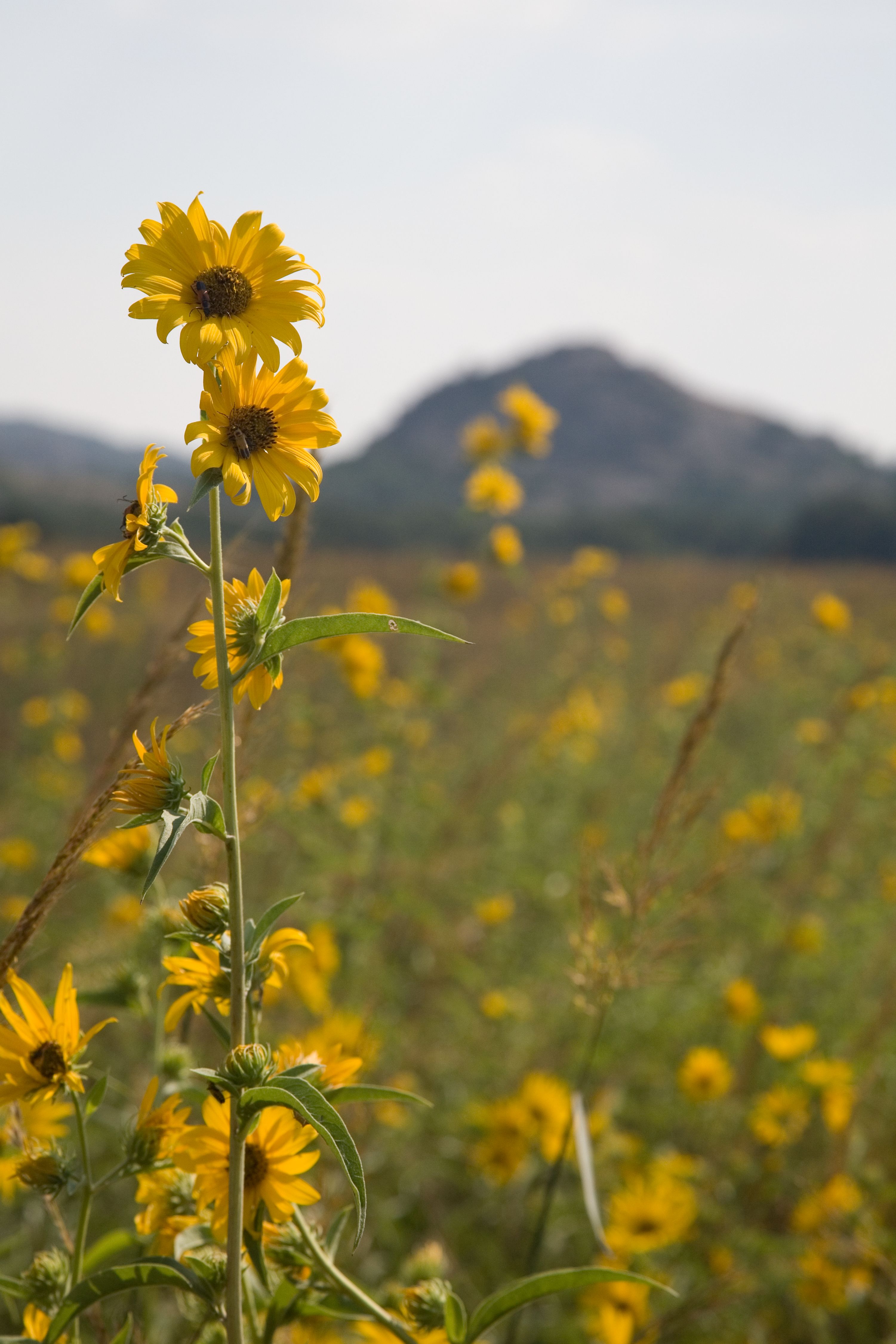
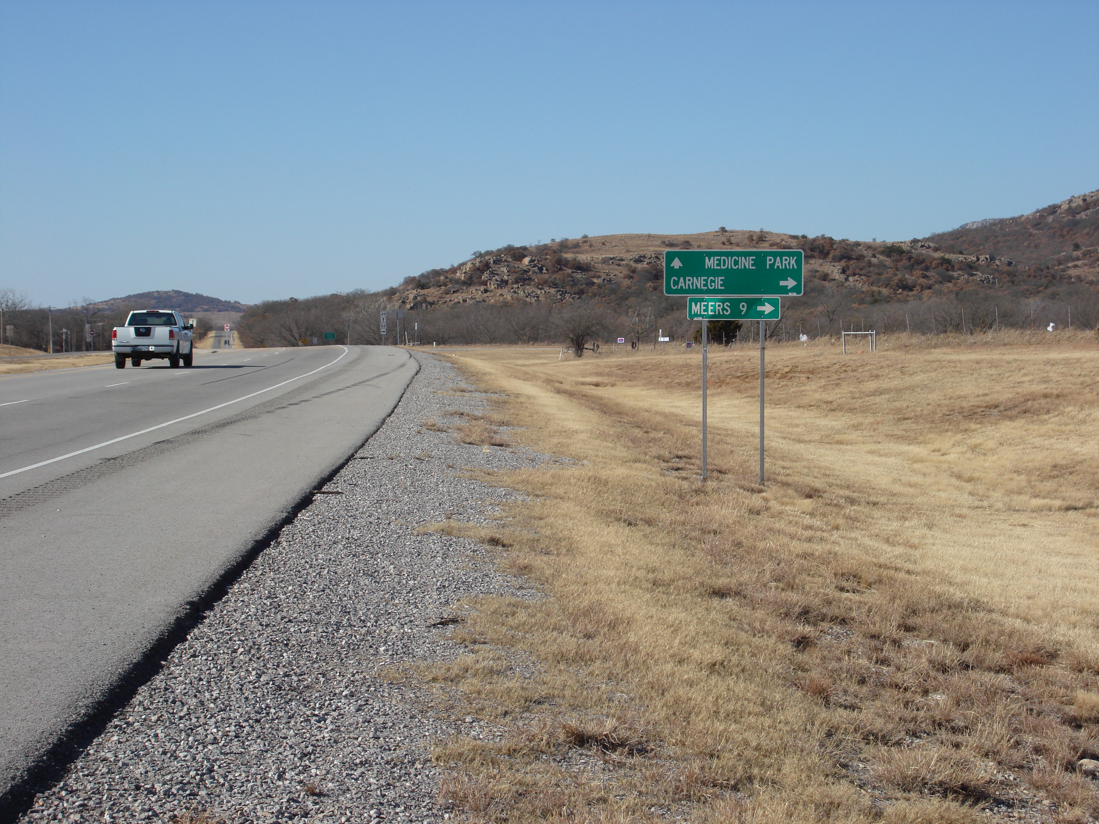
Wichita Mountains Byway
All Photos (18)
-
-
-

-
-
-
-
-

-
-
-
-
-
-

-

-
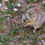
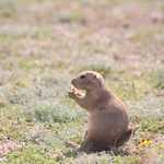
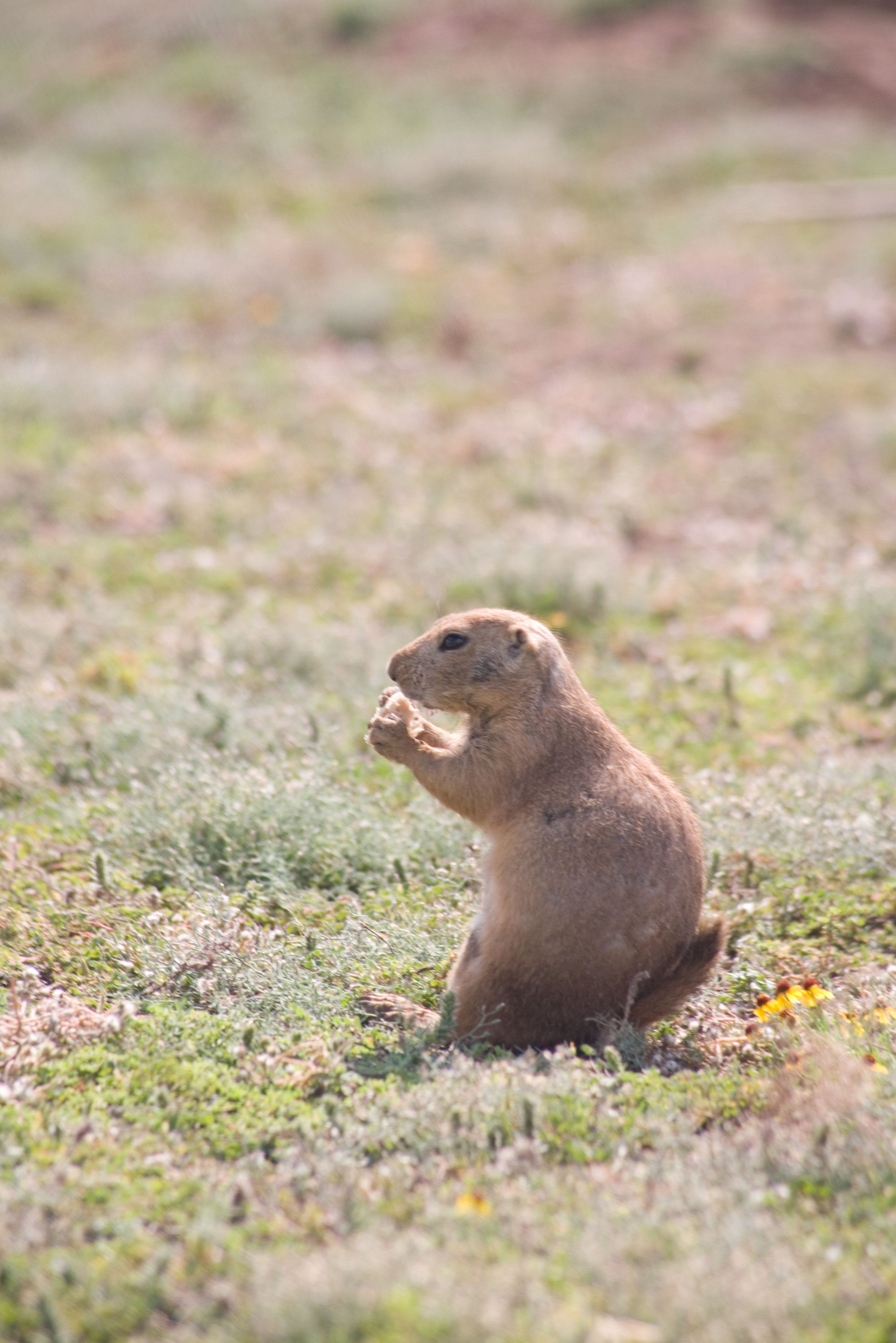
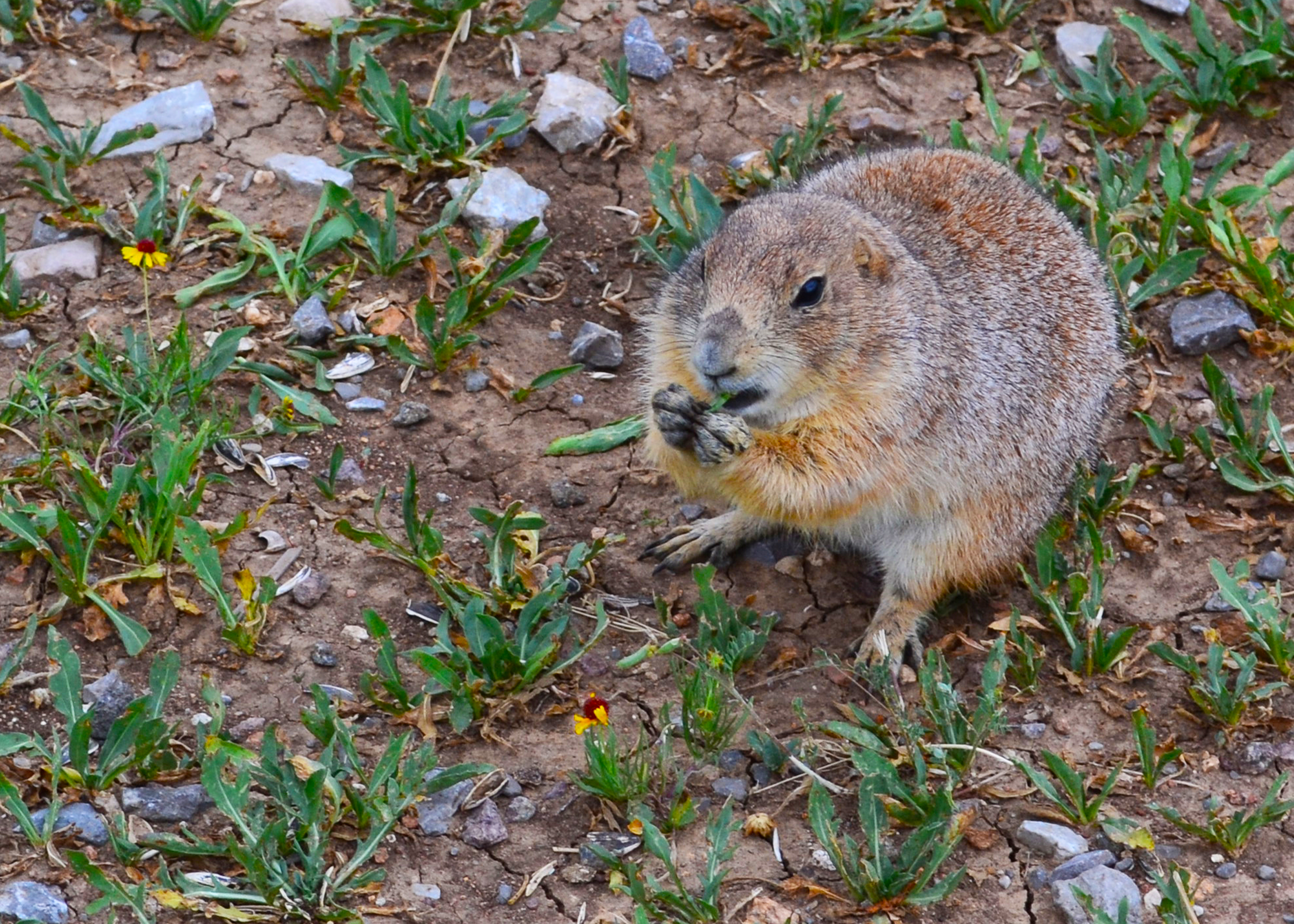
A prairie dog nibbles on some green leaves while sitting in the cracked soil of Oklahoma.
 © May 2012 amy_b of flickr.com.
Download Original (4450 x 3178 pixels, 7757.9 MB)
-
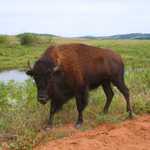
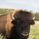
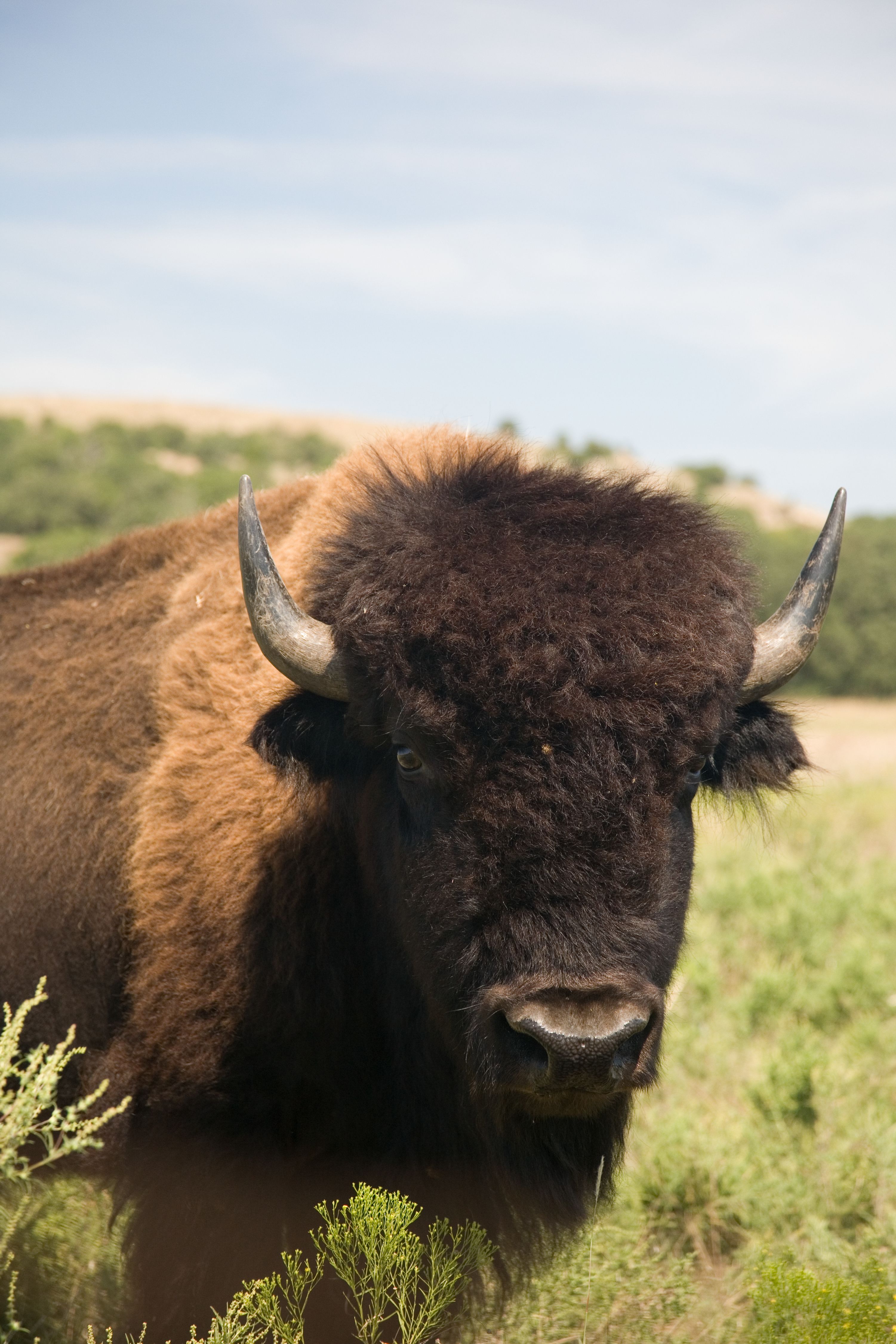
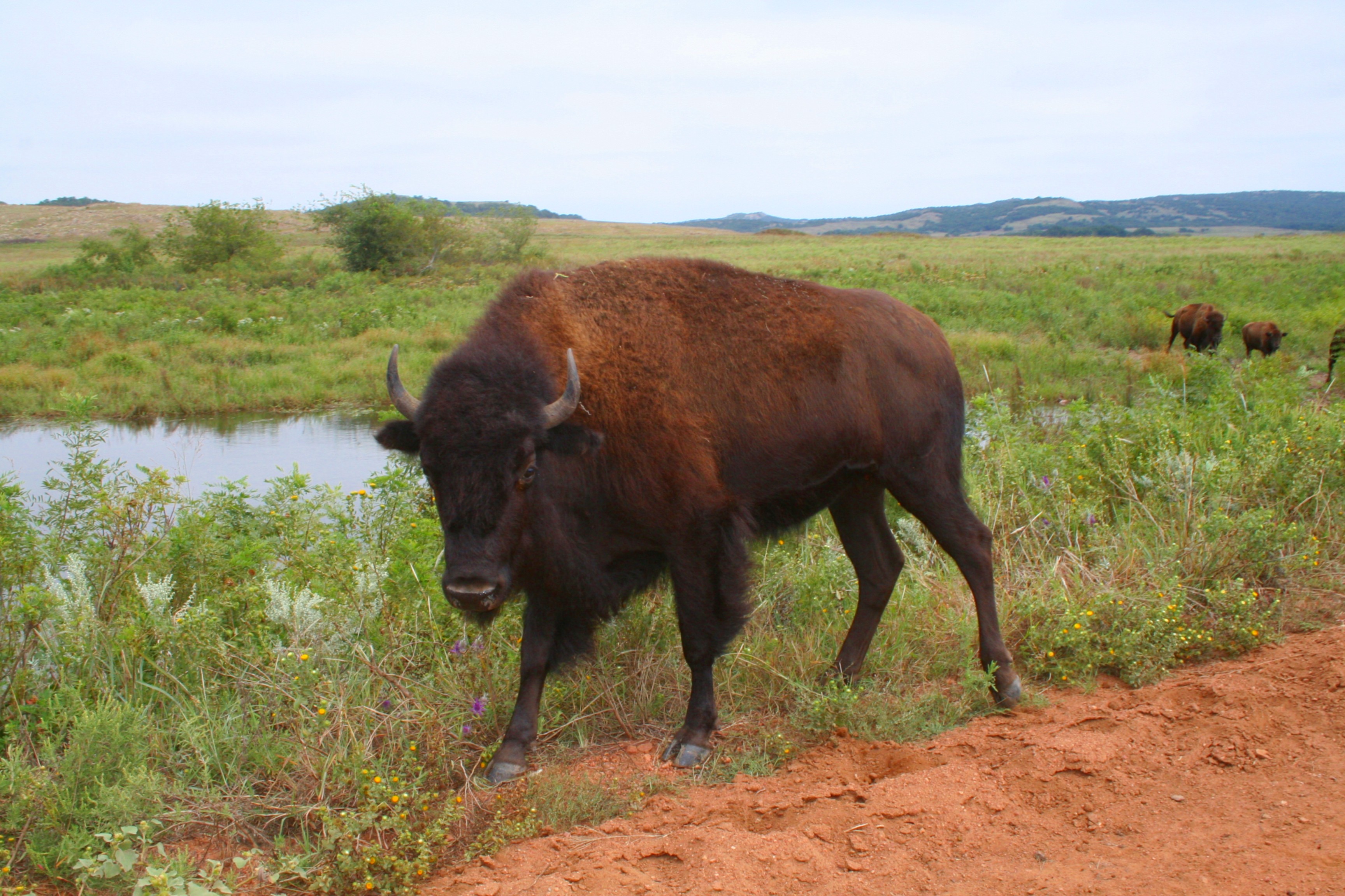
A bison walks by a grassy watering hole along a red-dirt trail in Wichita Mountains National Wildlife Refuge.
© September 2007 amy_b of flickr.com.
Download Original (3456 x 2304 pixels, 4016.3 MB)
-
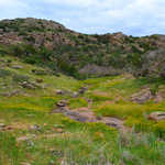
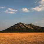
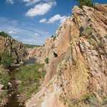
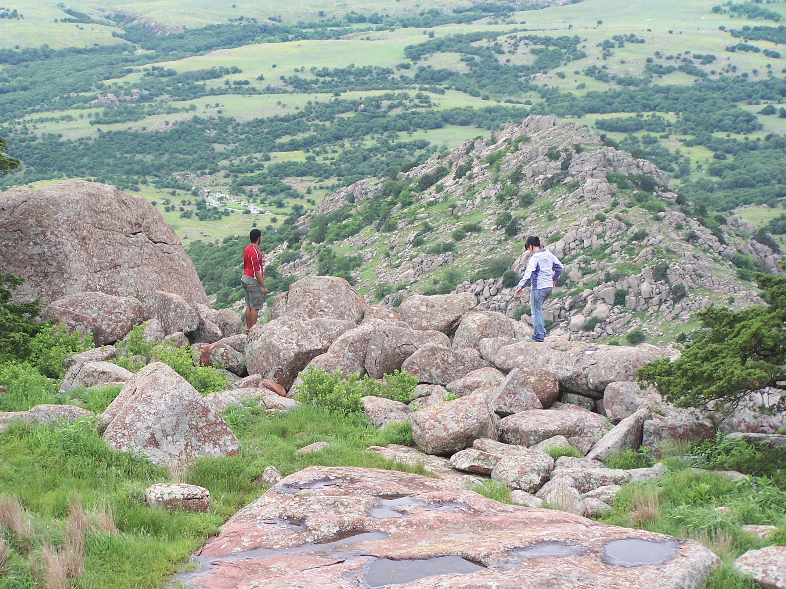
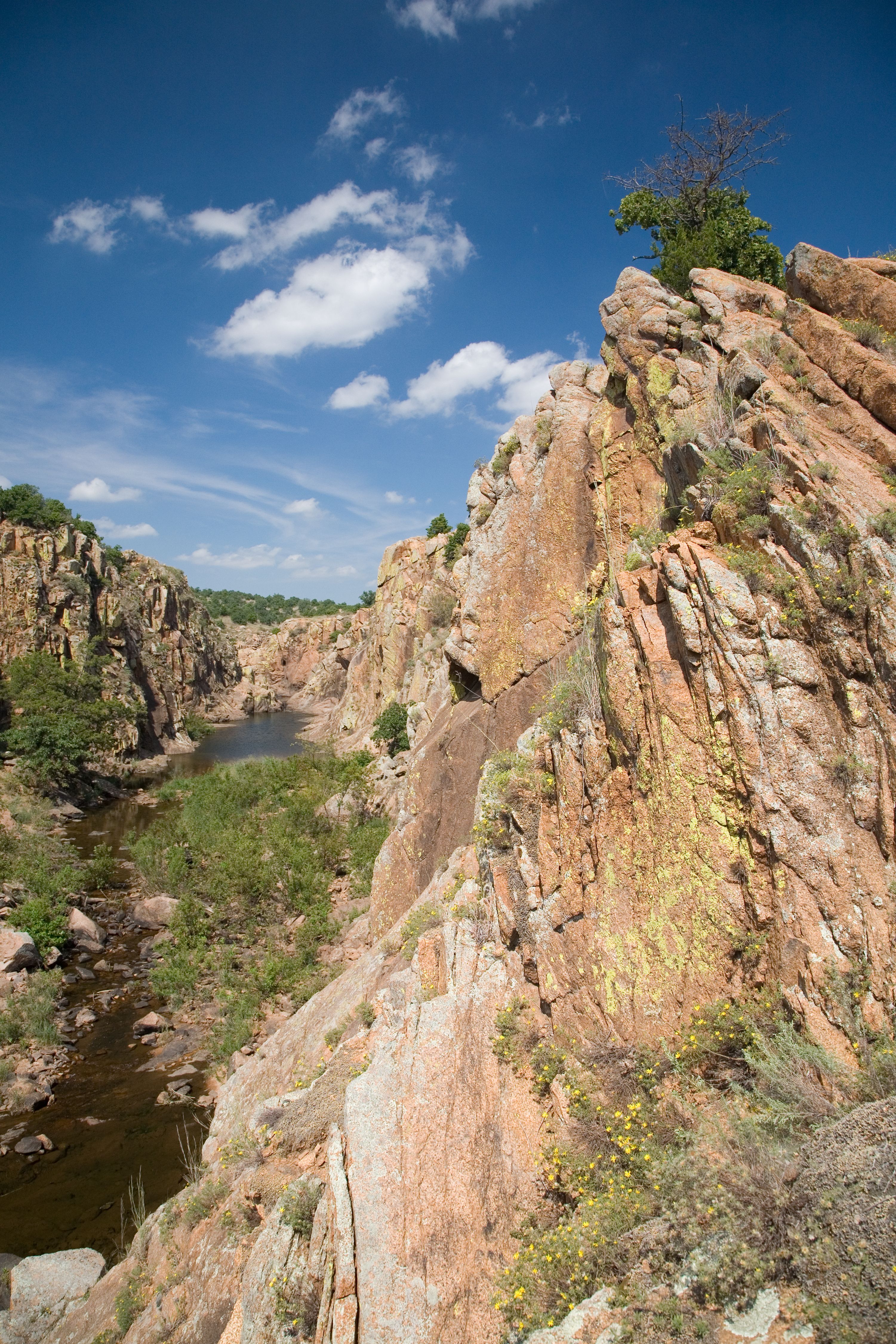
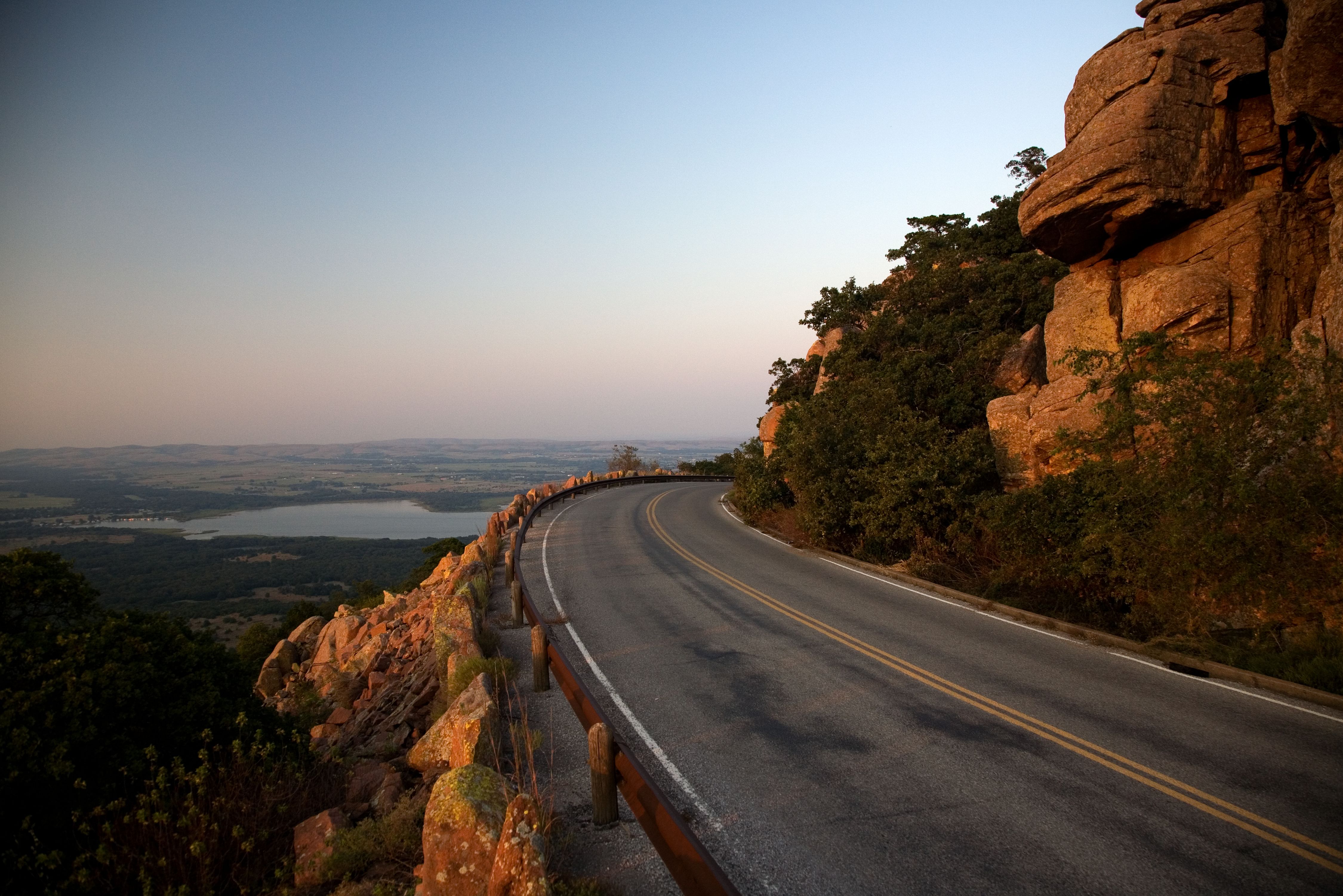
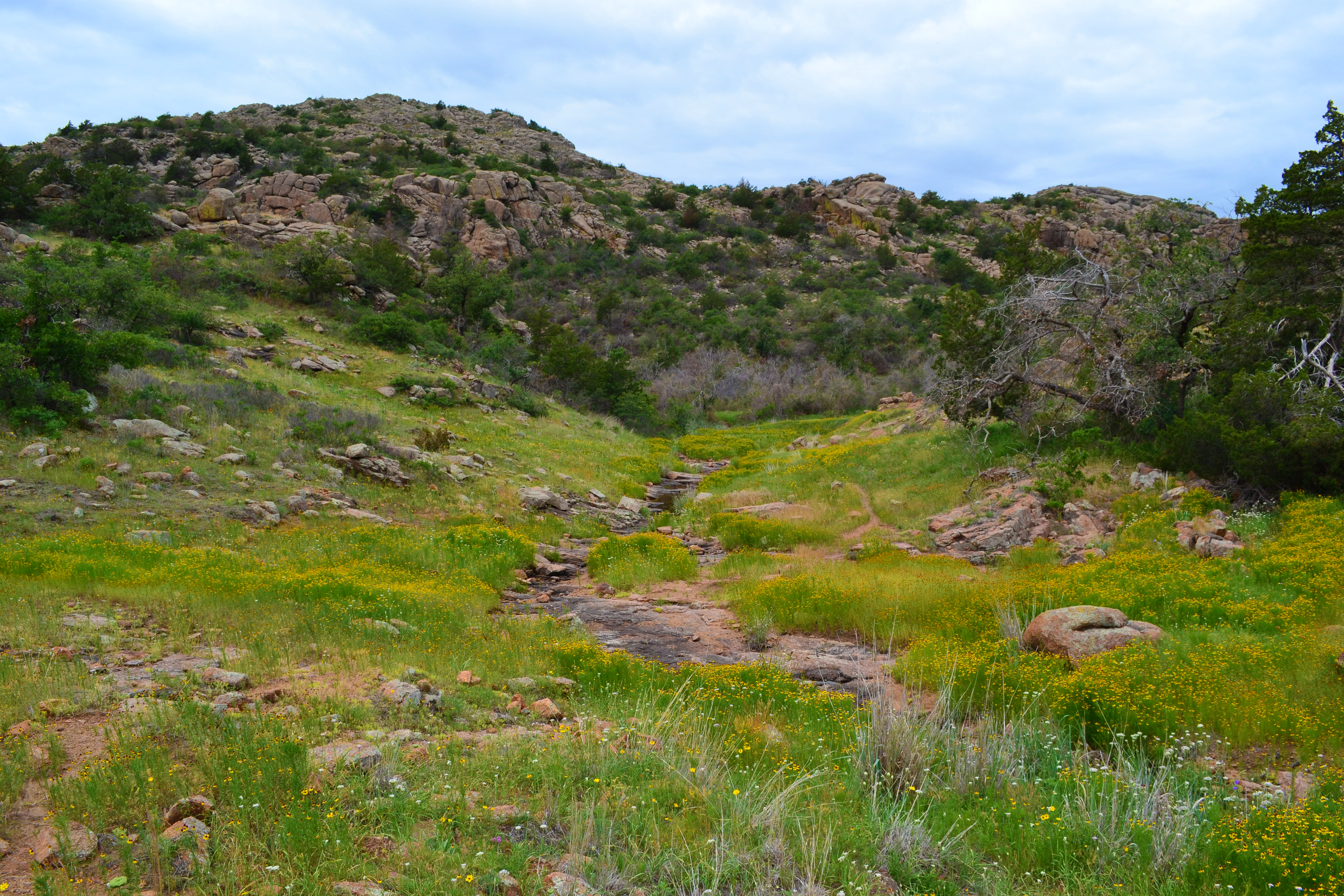
Covered in vibrant green grass, the rocky terrain of Charon Gardens makes for an excellent wildlife habitat.
© May 2012 amy_b of flickr.com.
Download Original (4608 x 3072 pixels, 8547.6 MB)