
All Photos (39)
-
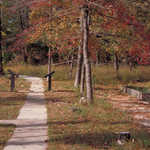
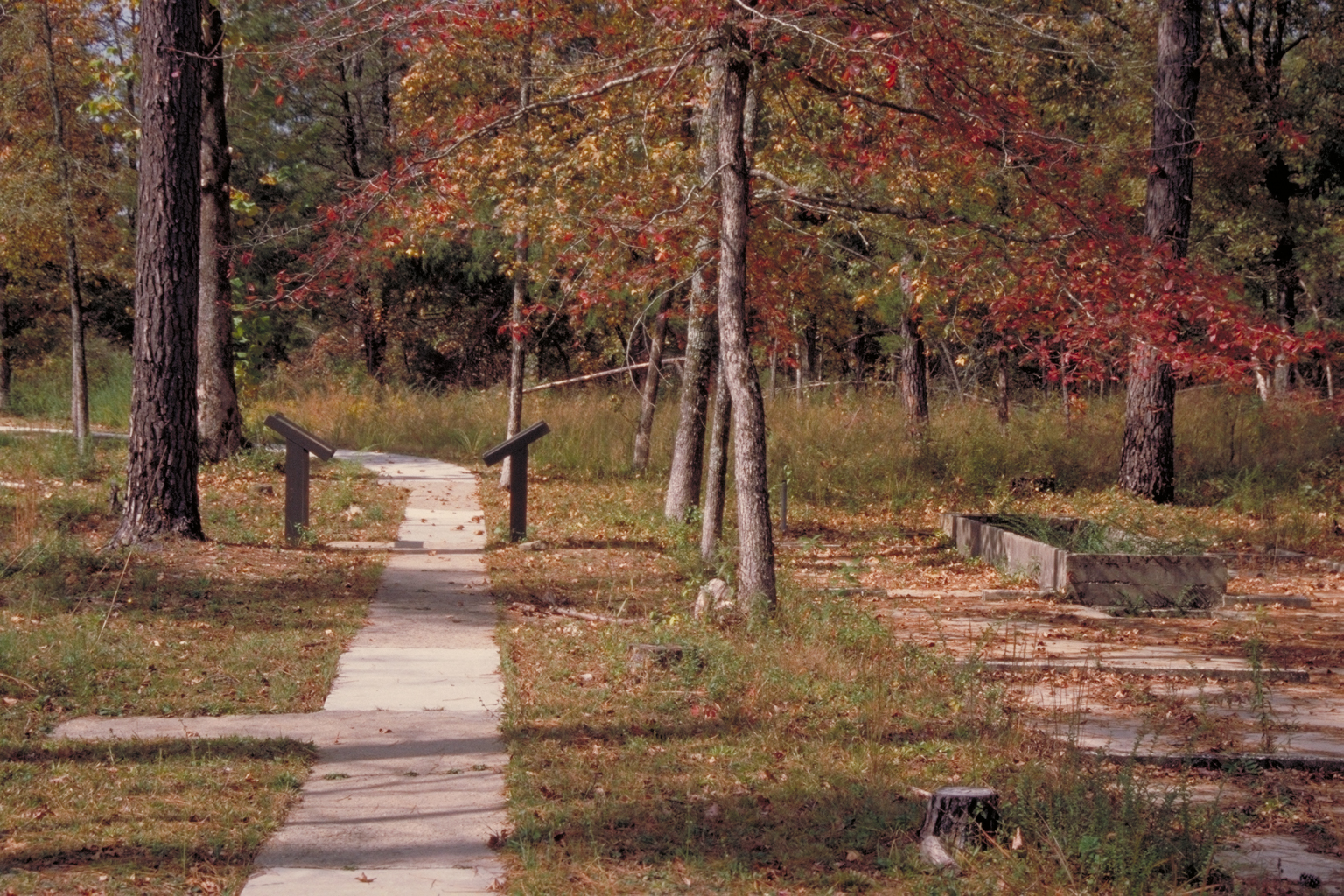
Travelers can exercise their legs on this pathway in the forest.
Public Domain. Photo by Dennis Adams
Download Original (1536 x 1024 pixels, 1703.5 MB)
-
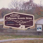
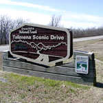
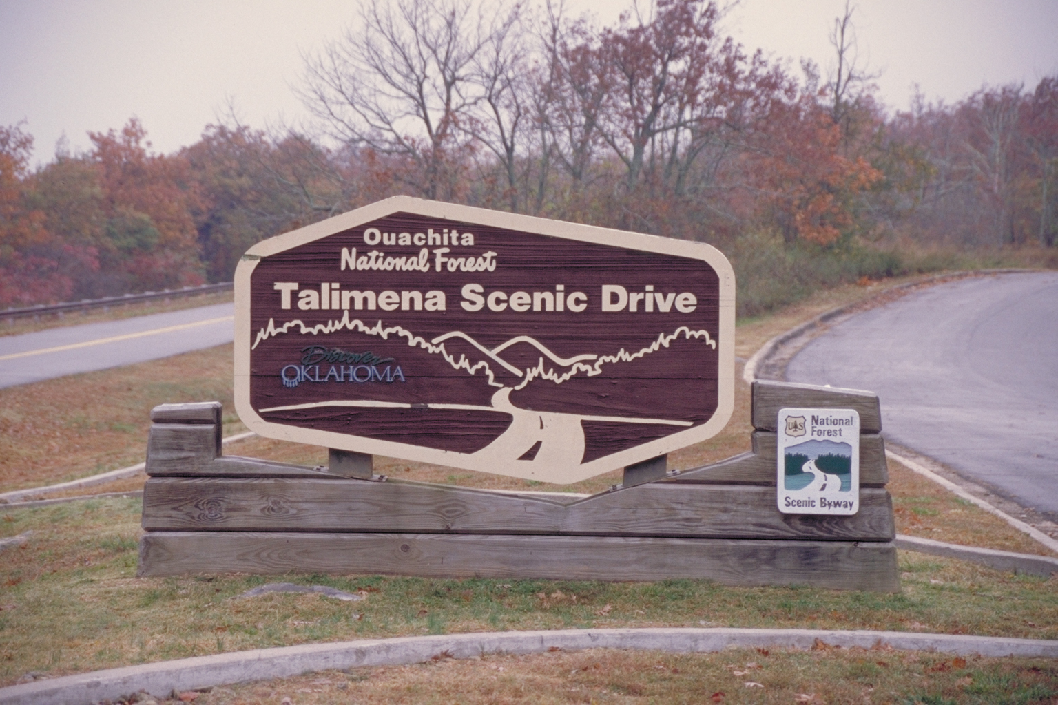
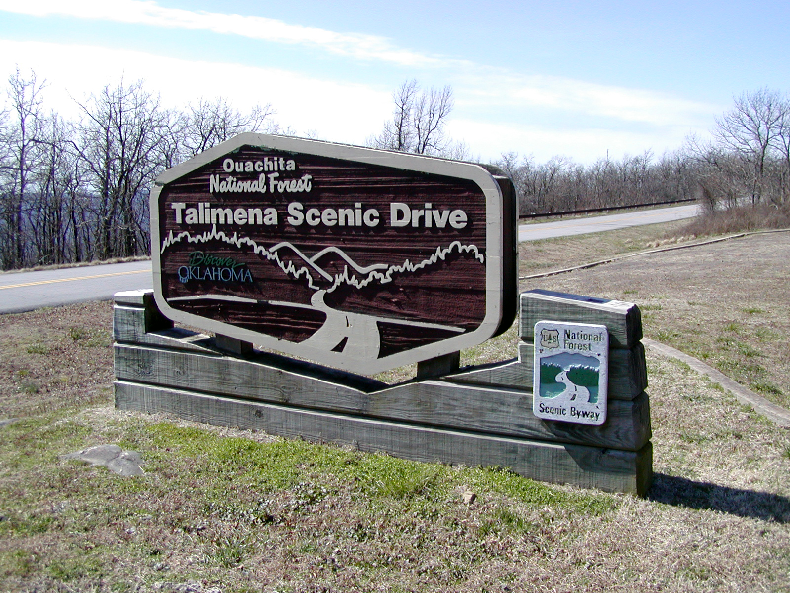
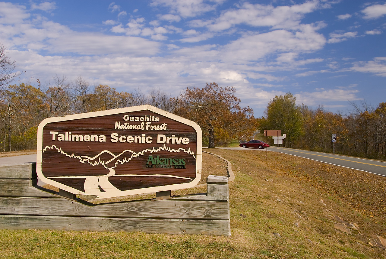
A carved wooden sign welcomes travelers on the Talimena Scenic Drive.
Public Domain. Photo by Dennis Adams
Download Original (1536 x 1024 pixels, 1085.3 MB)
-
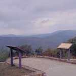
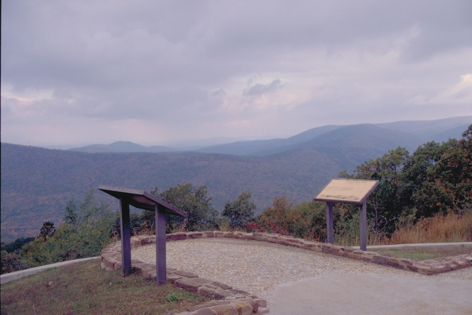
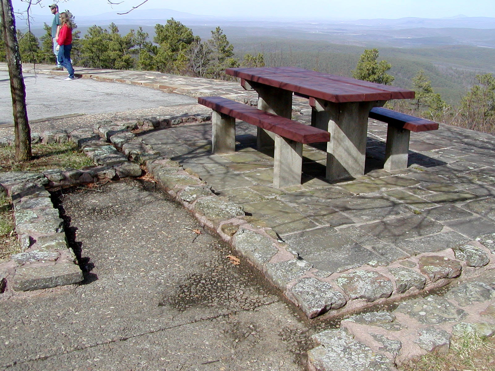
Visitors to the Talimena Scenic Byway can step onto this overlook and feel a part of the world around them.
Public Domain. Photo by Dennis Adams
Download Original (1536 x 1024 pixels, 967.4 KB)
-
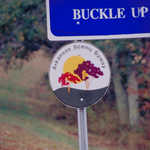
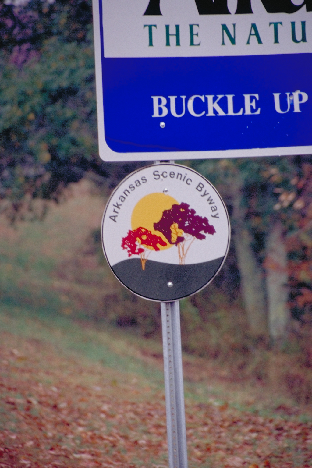
Along with greeting visitors to Arkansas, this roadsign acknowledges the road as an Arkansas Scenic Byway.
Public Domain. Photo by Dennis Adams
Download Original (1024 x 1536 pixels, 1097.8 MB)
-

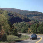
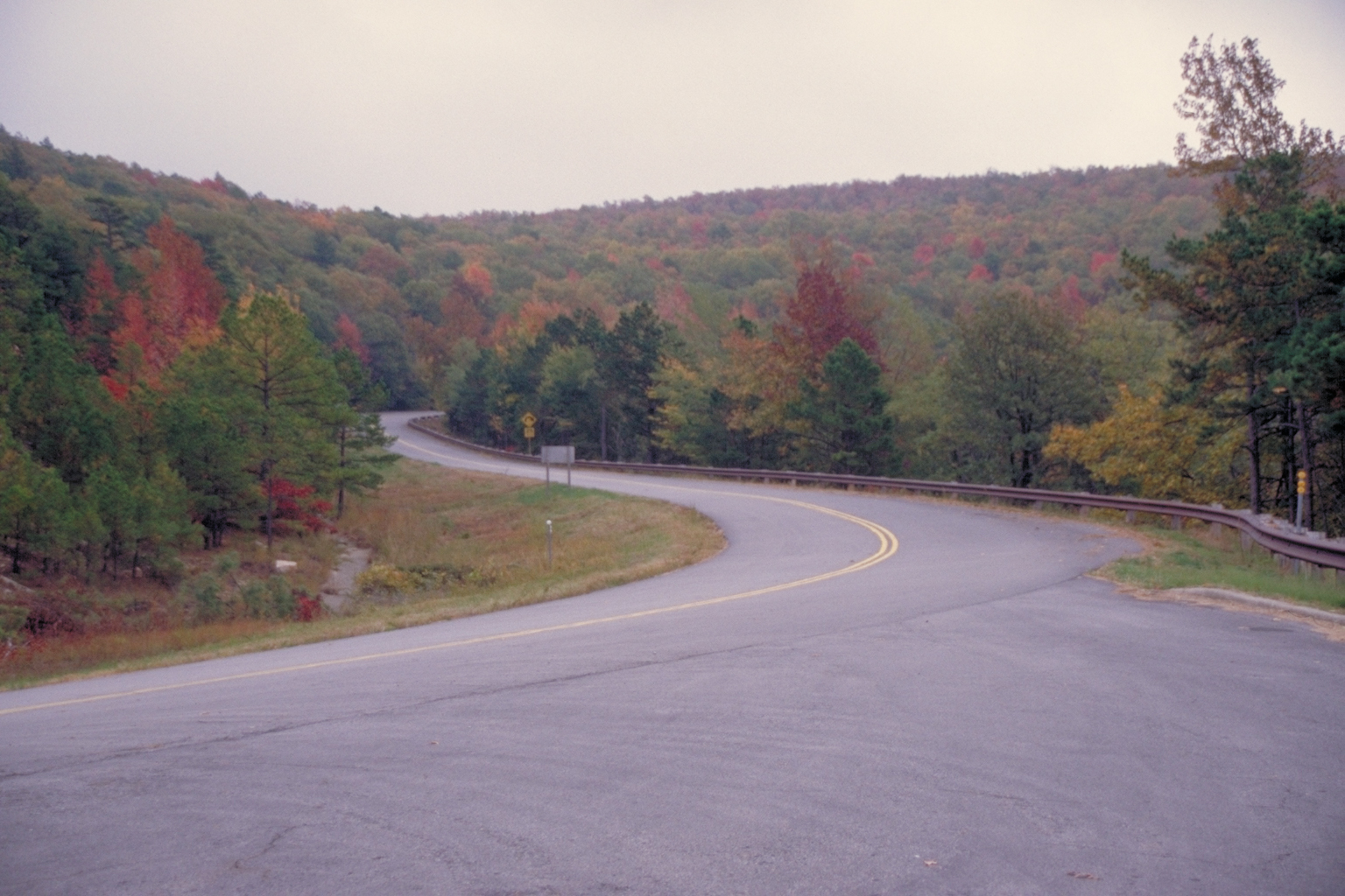
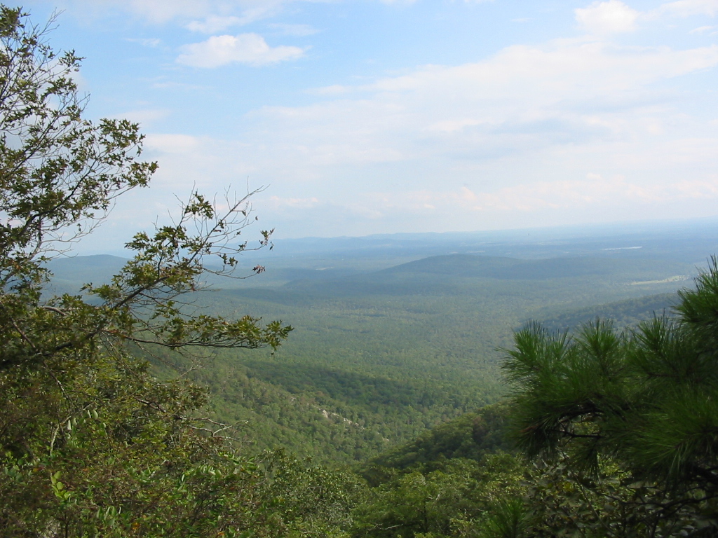
Forests tipped with fall color spread over the hills on the Talimena Scenic Byway.
Public Domain. Photo by Dennis Adams
Download Original (1536 x 1024 pixels, 956.0 KB)
-
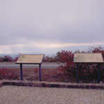
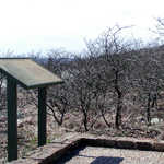
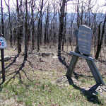
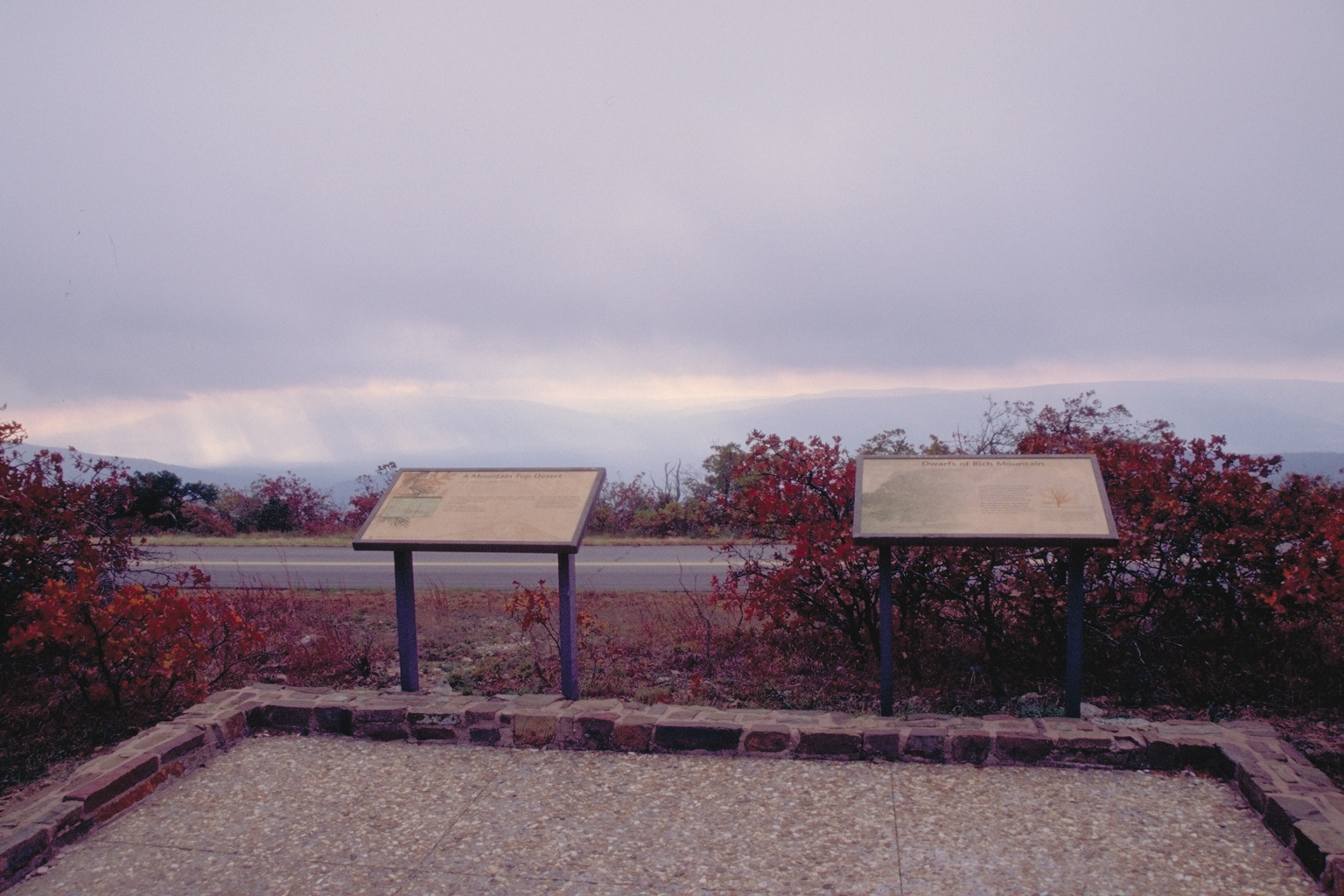
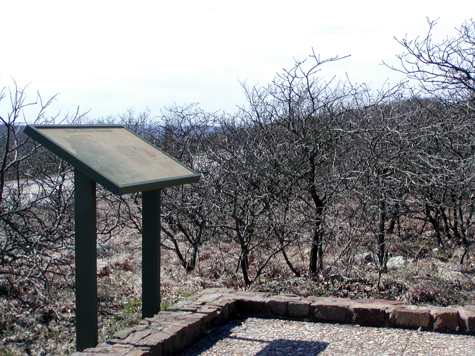
Informative plaques on the side of the road allow visitors to learn more about the Talimena Scenic Byway .
Public Domain. Photo by Dennis Adams
Download Original (1536 x 1024 pixels, 1076.4 MB)
-

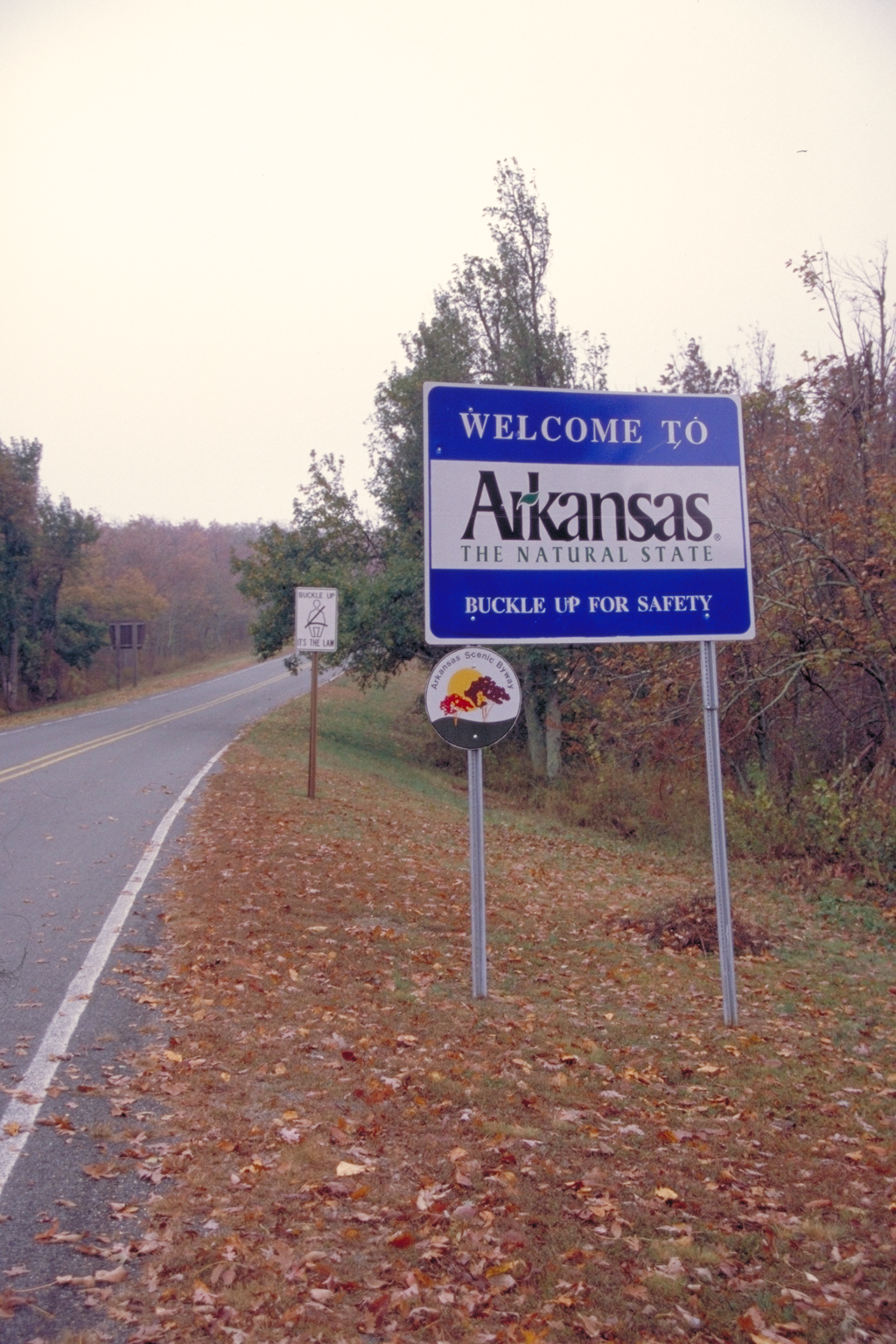
A sign on the roadside welcomes visitors the Arkansas, nicknamed the Natural State.
Public Domain. Photo by Dennis Adams
Download Original (1024 x 1536 pixels, 1118.9 MB)
-
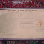
Stop by this informative plaque to learn more about the vegetation of the area.
Public Domain. Photo by Dennis Adams
Download Original (1536 x 1024 pixels, 1120.2 MB)
-
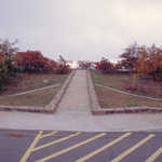
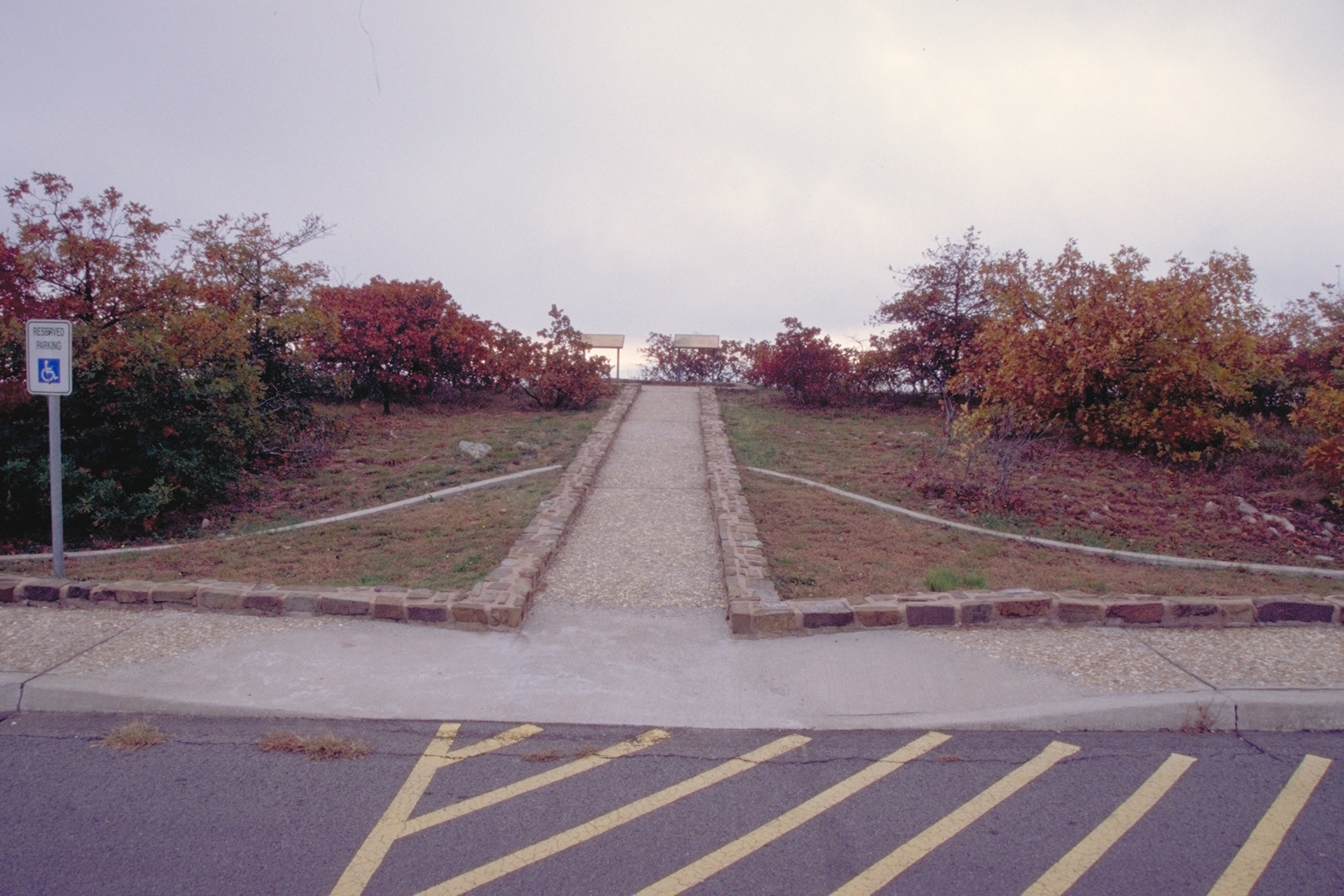
This neatly stone-lined path near the Talimena Scenic Byway leads visitors to an overlook with interpretive kiosks.
Public Domain. Photo by Dennis Adams
Download Original (1536 x 1024 pixels, 1133.5 MB)
-
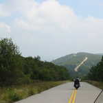
A motorcyclist leads the way on Talimena Scenic Drive up Winding Stair Mountain.
Public Domain. Photo by P. Hicks
Download Original (1024 x 768 pixels, 257.6 KB)
-
Trees frame the gently sloping hills of the Rich Mountain Valley on Lover's Leap hiking trail, near the Queen Wilhelmina Lodge.
Public Domain. Photo by P. Hicks
Download Original (1024 x 768 pixels, 425.9 KB)
-
Both trucks and motorcycles find a home on the spacious Talimena Scenic Byway.
Public Domain. Photo by Dennis Adams
Download Original (1024 x 1536 pixels, 1127.4 MB)
-
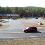
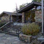
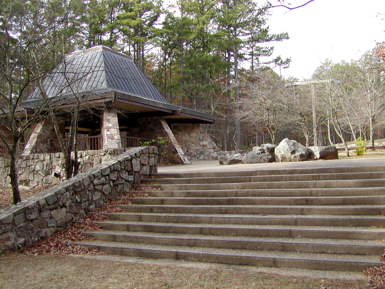
Set among the green of the Ouachita Forest, the visitor center is a great place to stretch your legs.
Public Domain.
Download Original (1600 x 1200 pixels, 1107.2 MB)
-
Weave along this amazing mighty dwarf oak on an interpretative trial at this vista.
Public Domain.
Download Original (1600 x 1200 pixels, 1302.3 MB)
-

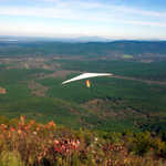
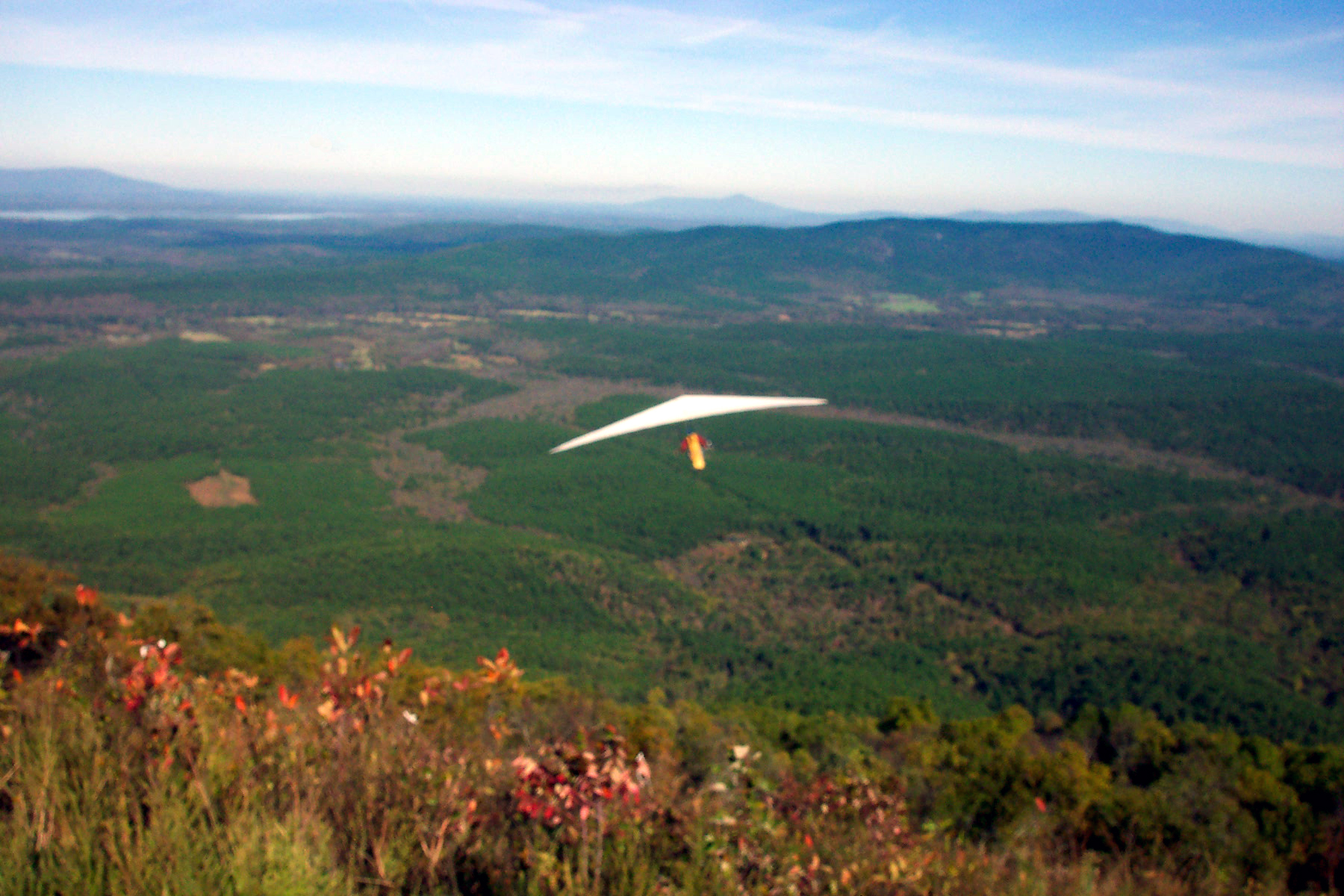
A white hang glide sails over a green field beneath Panorama Vista.
Public Domain.
Download Original (1800 x 1200 pixels, 1386.6 MB)
-
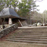
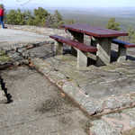
This stone plaza is the hub for all the center's interpretive trails.
Public Domain.
Download Original (1600 x 1200 pixels, 1284.2 MB)
-
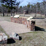
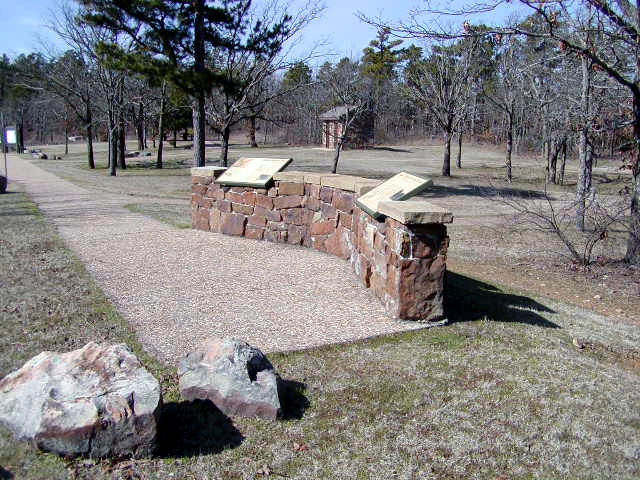
These interpretative signs greet visitors at this dual picnic site.
Public Domain.
Download Original (640 x 480 pixels, 277.6 KB)
-
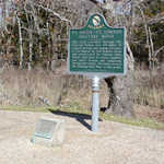
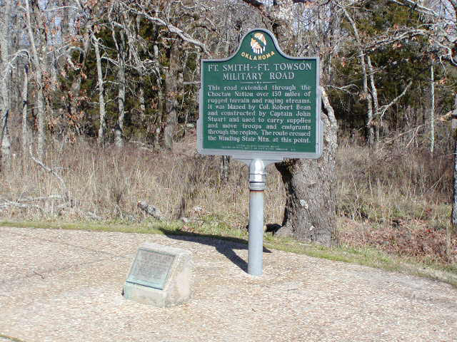
This stone sign and plaque commemorate the military road that extended 150 miles from Fort Smith to Fort Towson.
Public Domain.
Download Original (640 x 480 pixels, 228.9 KB)
-
Travelers pass this sign made of wood and stone as they cross the border into Arkansas.
Public Domain.
Download Original (1600 x 1200 pixels, 1649.5 MB)
-
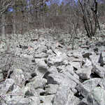
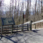
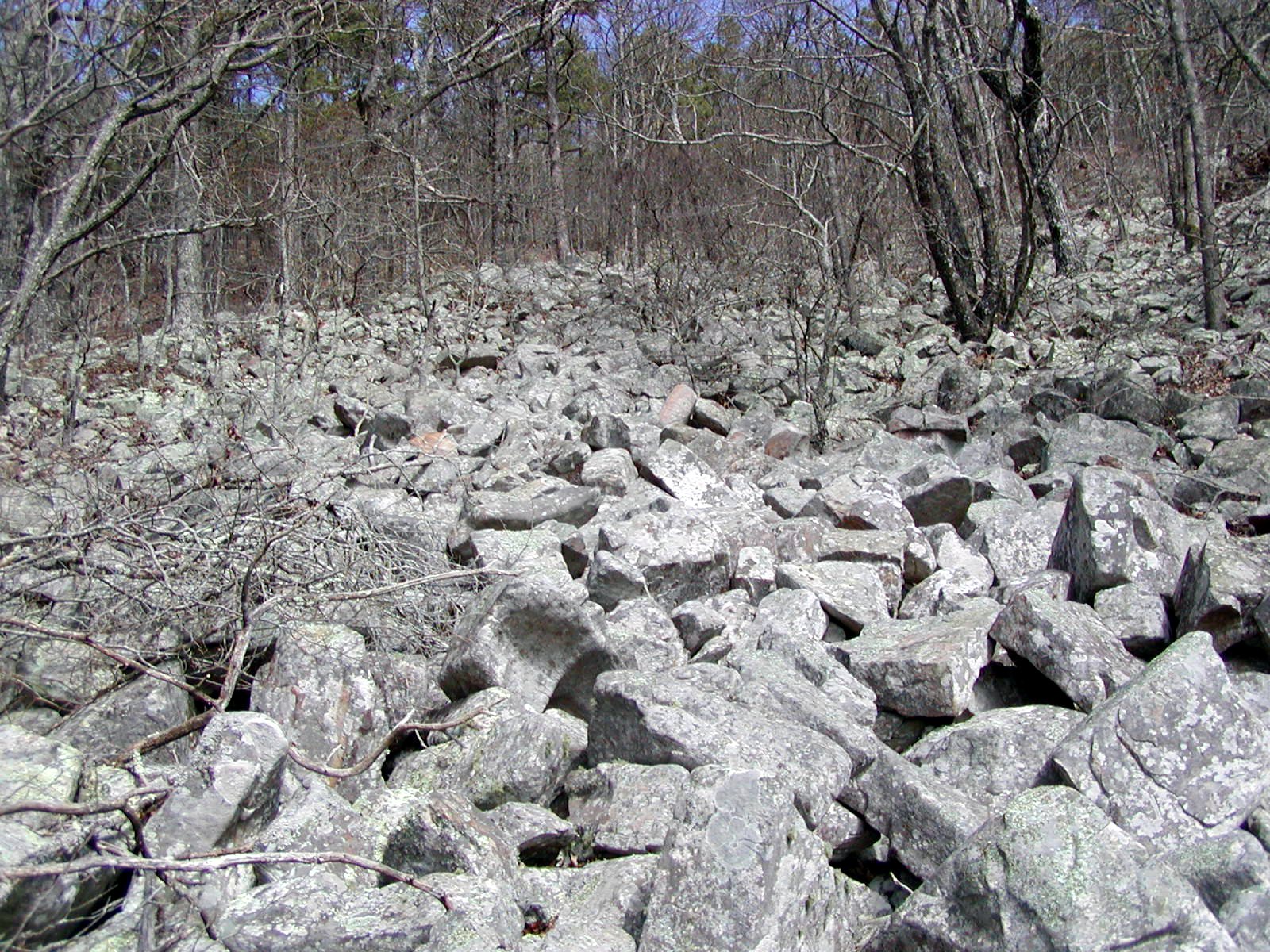
This trailhead leads into a forest of leaf-bereft trees.
Public Domain.
Download Original (1600 x 1200 pixels, 1582.7 MB)
-
Picnickers can appreciate Emerald Point's stunning vista while enjoying a mid-day meal.
Public Domain.
Download Original (1600 x 1200 pixels, 1222.3 MB)
-
Explore Talimena's geological history at Sunset Vista.
Public Domain.
Download Original (1600 x 1200 pixels, 1395.9 MB)
-
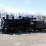
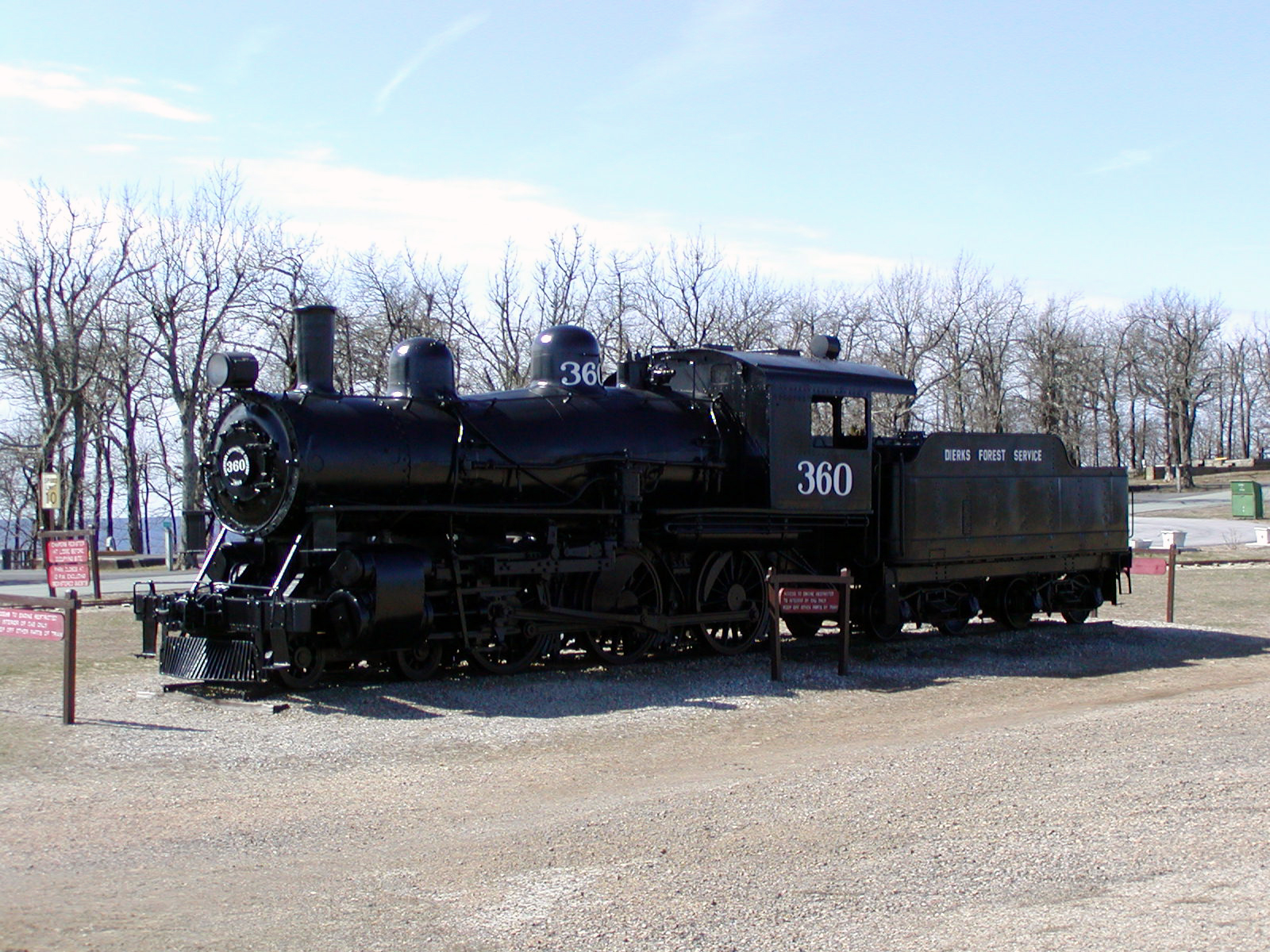
This is one of the last steam locomotives used on the Kansas City, Pittsburg, and Gulf rail line located north of Rich Mountain.
Public Domain.
Download Original (1600 x 1200 pixels, 1128.7 MB)
-
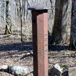
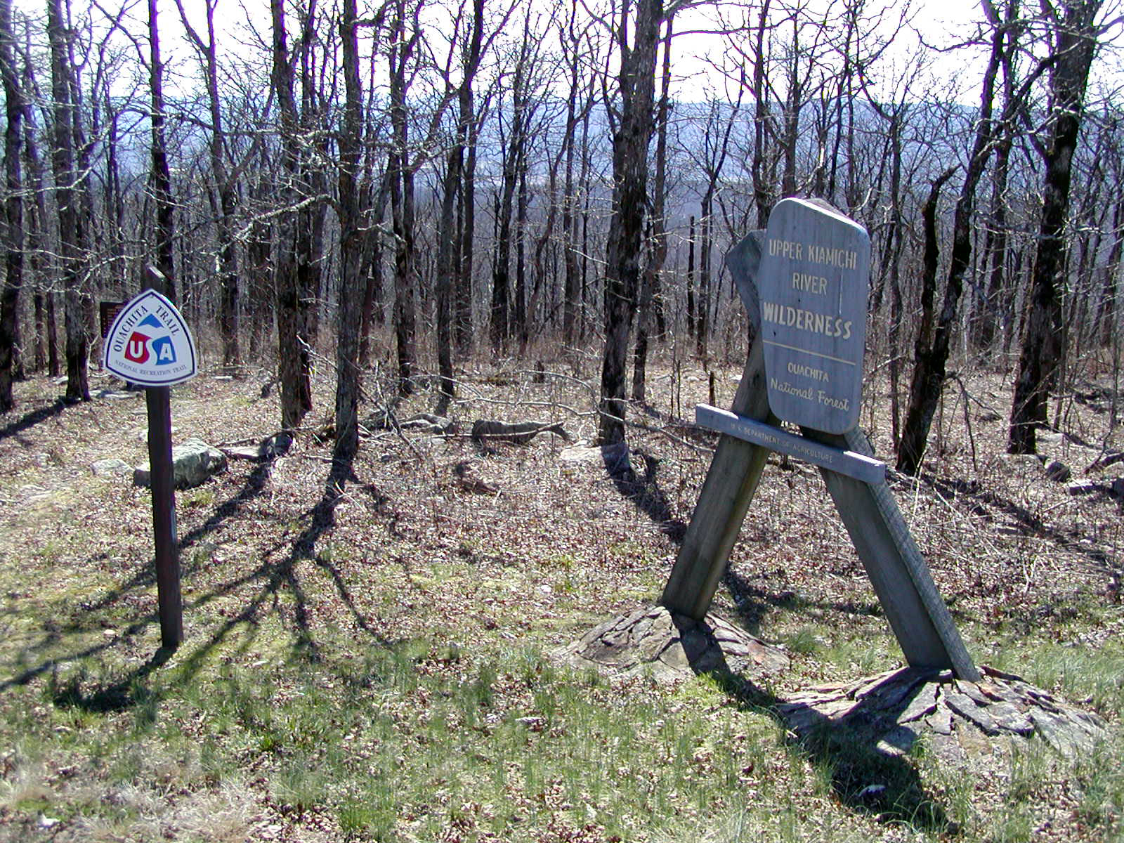
This five-foot iron marker delineates the historical boundaries between the State of Arkansas and the Choctaw Nation.
Public Domain.
Download Original (1600 x 1200 pixels, 1459.8 MB)
-
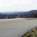
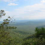
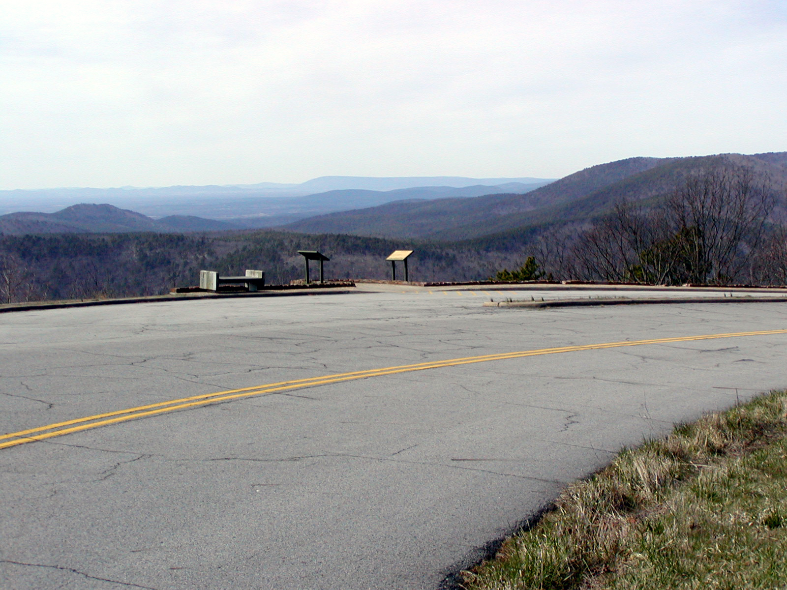
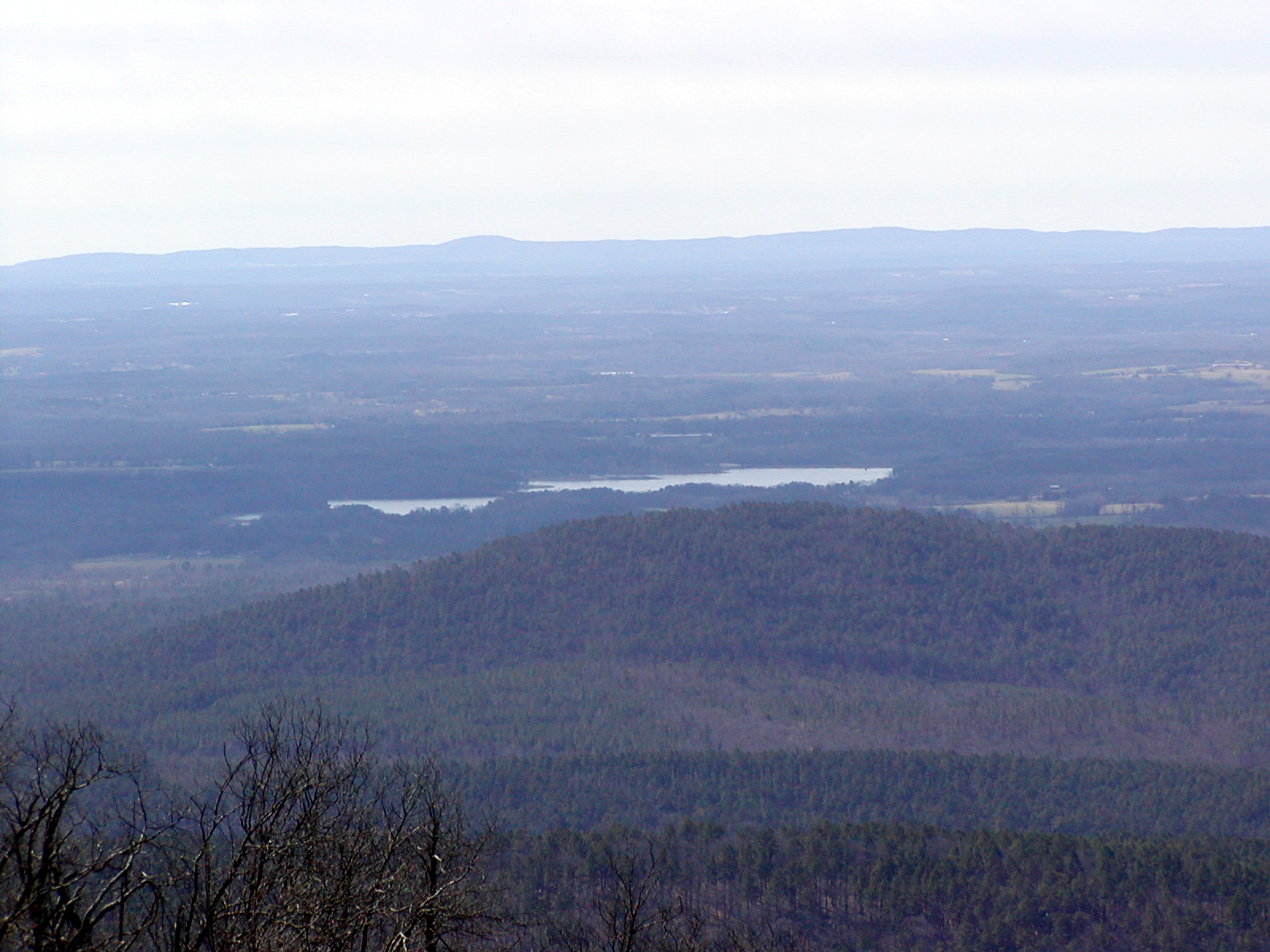
Visitors can spy the valley and the distant horizon at Sunset Vista.
Public Domain.
Download Original (1600 x 1200 pixels, 1133.3 MB)
-
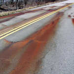
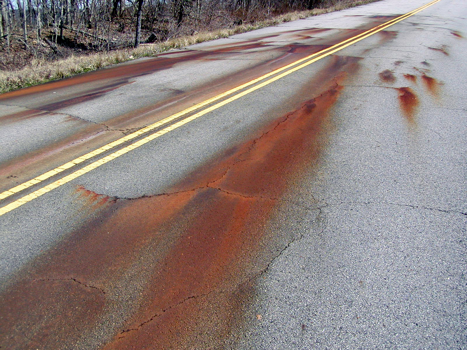
Iron-rich water bubbling out through the pavement seems to turn red as the open air oxidizes the water on the surface.
Public Domain.
Download Original (1600 x 1200 pixels, 1646.2 MB)
-
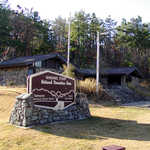
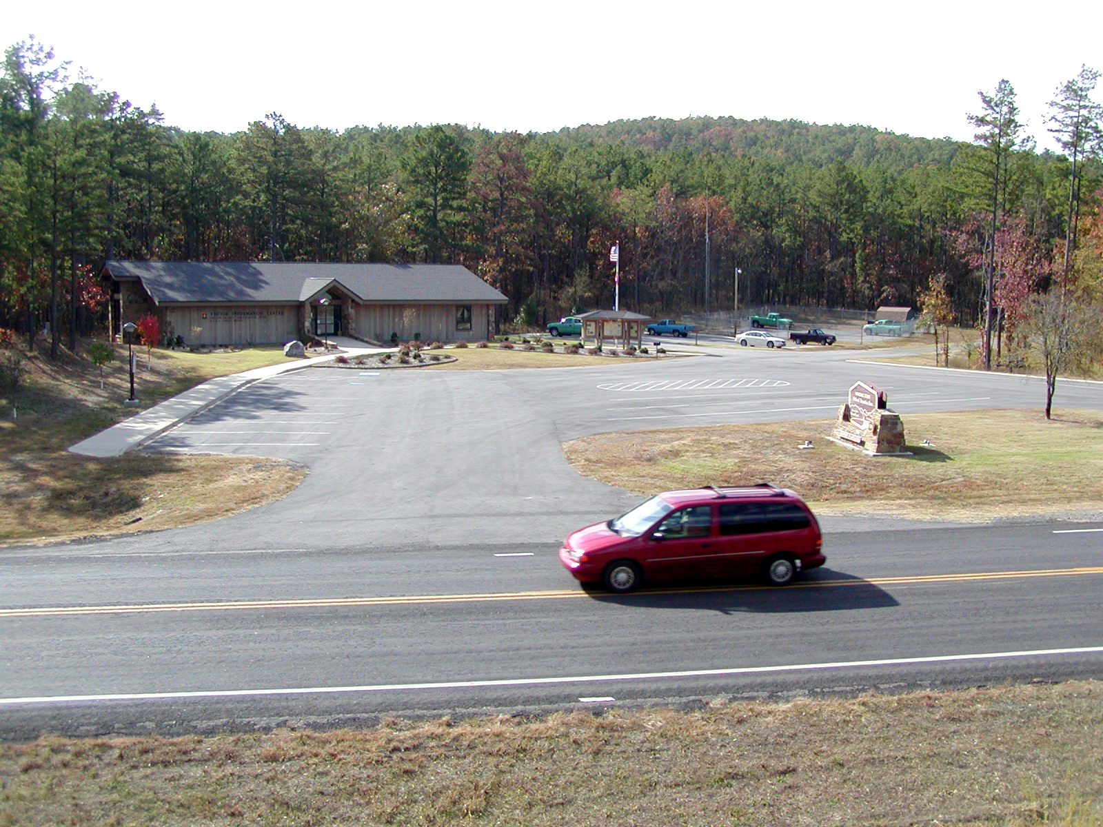
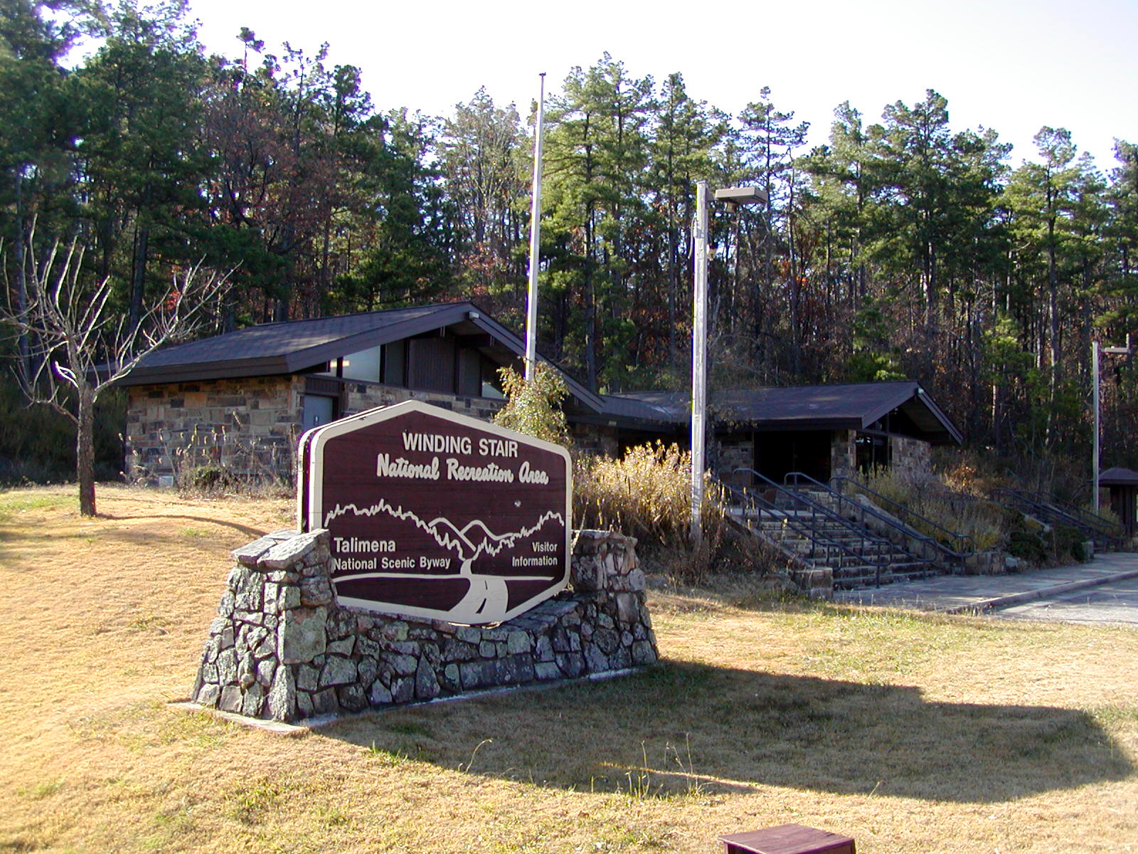
This sign made of stone and wood heralds the West End Visitor Information Center.
Public Domain.
Download Original (1600 x 1200 pixels, 1410.3 MB)
-
Native plants complement the stone facings of the visitor information station outside in several areas.
Public Domain.
Download Original (1600 x 1200 pixels, 1148.8 MB)
-
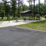
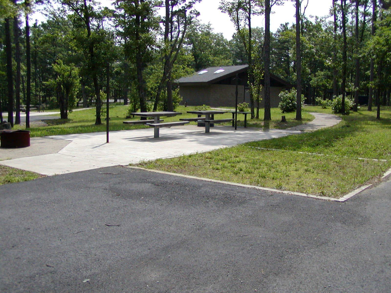
Adorned with all shades of green, the Winding Stair Campground is a relaxing spot to pitch a tent or picnic.
Public Domain.
Download Original (1600 x 1200 pixels, 1160.5 MB)
-
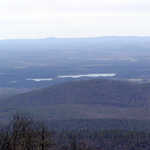
Queen Wilhelmina Lake reflects the sun's light on hazy afternoon.
Public Domain.
Download Original (1600 x 1200 pixels, 972.5 KB)
-
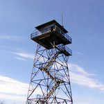
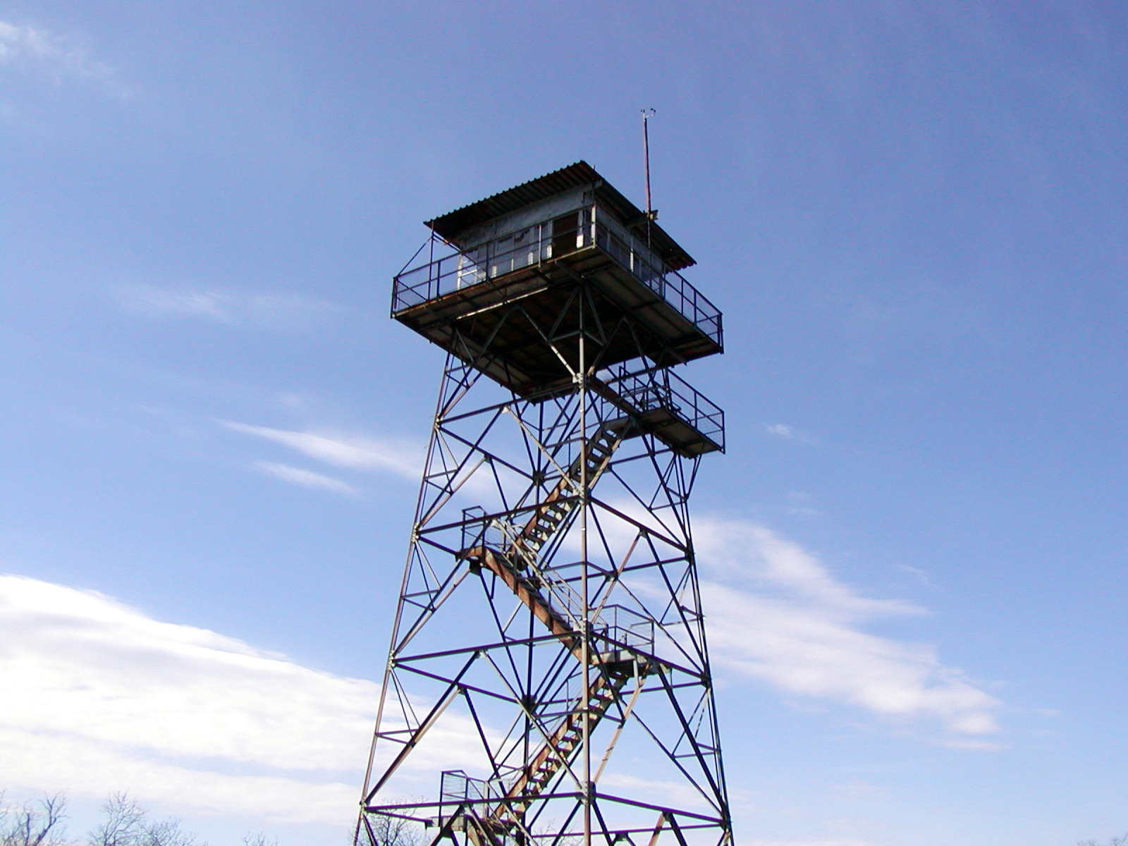
This steel structure dominates the skies around Rich Mountain.
Public Domain.
Download Original (1600 x 1200 pixels, 993.7 KB)
-
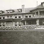
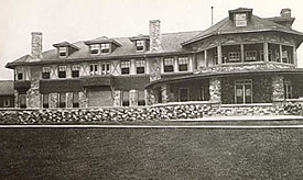
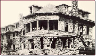
The original Queen Wilhelmina Lodge stands beautifully in its heyday in 1898.
Public Domain. Courtesy of http://www.queenwilhelmina.com
Download Original (275 x 164 pixels, 54.3 KB)
-
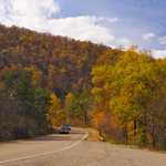
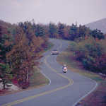
Two cars drive through glorious fall color on the Talimena Scenic Drive.
© November 2006 Neil Li.
Download Original (1280 x 845 pixels, 627.9 KB)
-
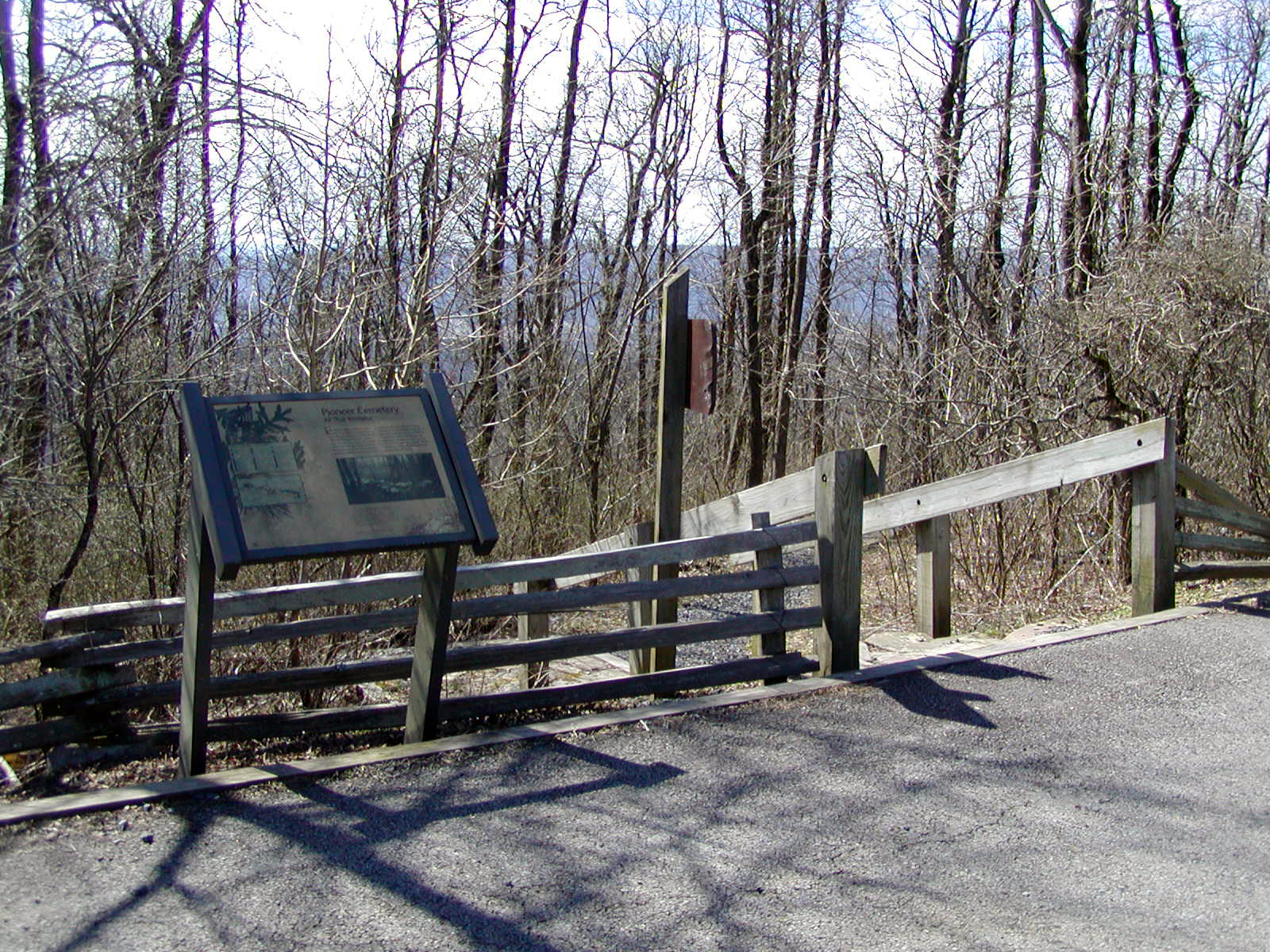
Near the pathway leading to the cemetery, an intrepretative sign introduces travelers to some Rich Mountain history.
Public Domain.
Download Original (1600 x 1200 pixels, 1412.9 MB)
-
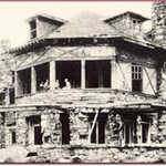
The original Queen Wilhelmina Lodge stands in ruins after being open for only 12 years.
Public Domain. Courtesy of http://www.queenwilhelmina.com
Download Original (307 x 181 pixels, 21.6 KB)
-

The Talimena Scenic Drive welcome sign greets visitors to the byway.
© November 2006 Neil Li.
Download Original (1280 x 857 pixels, 602.2 KB)
-
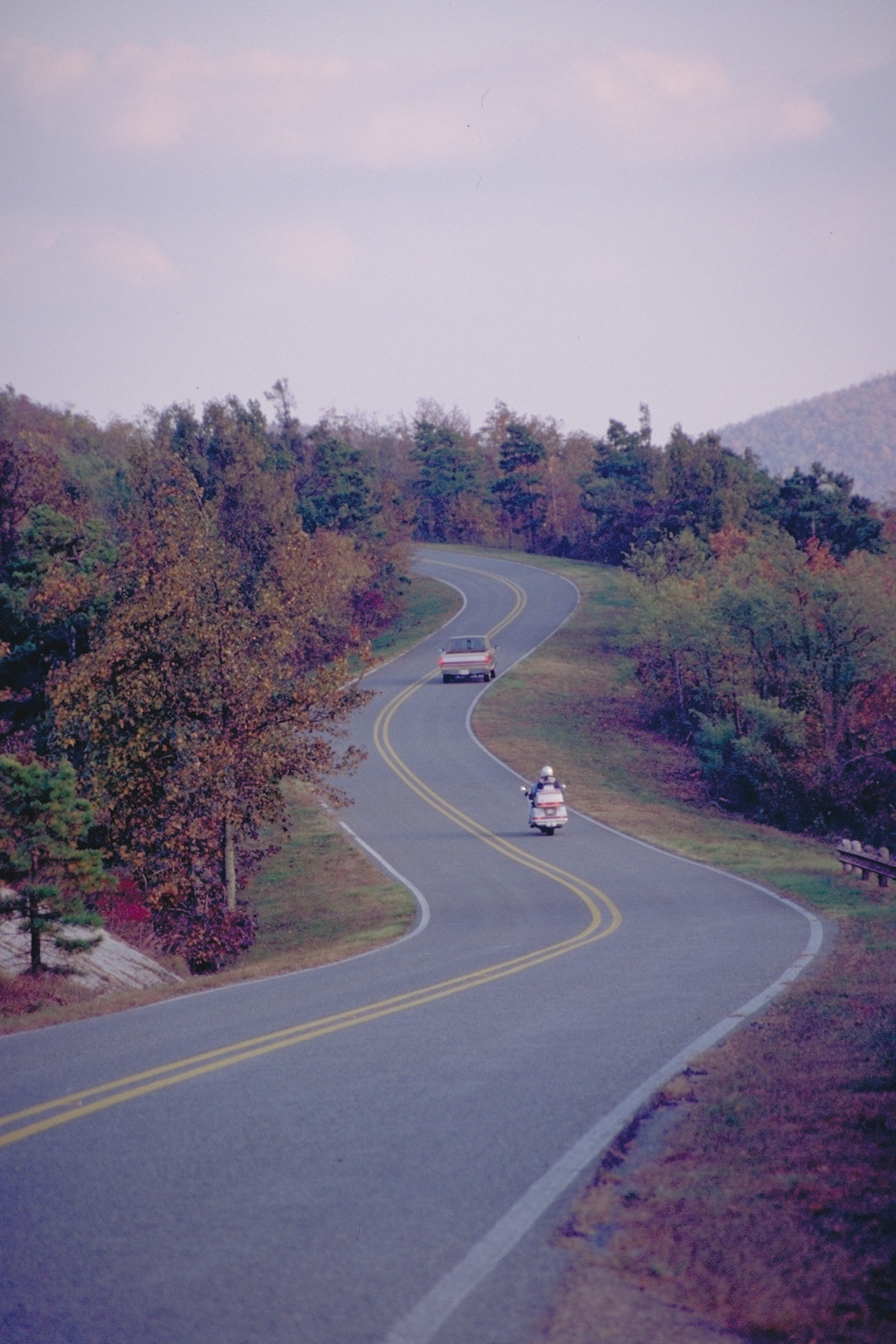
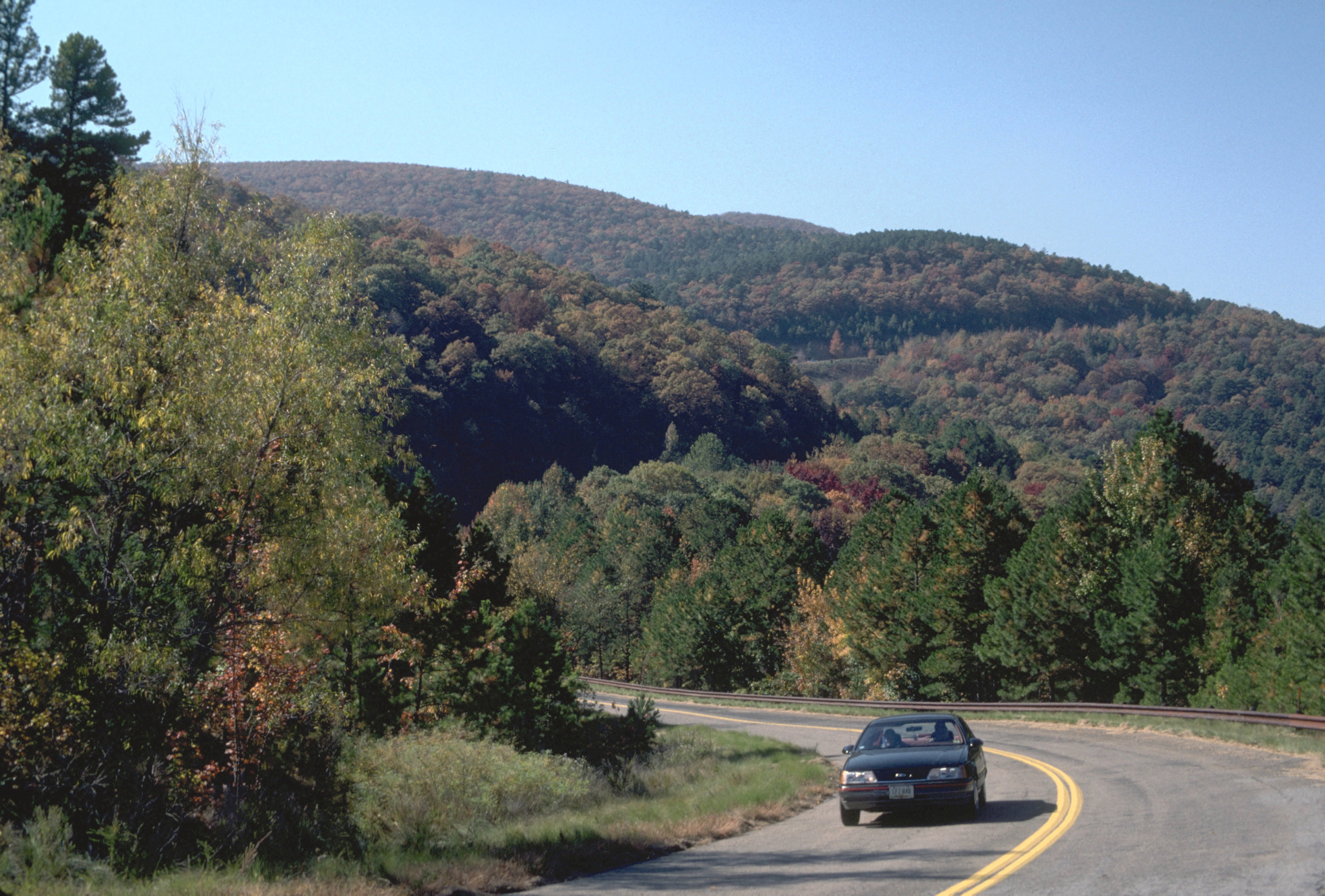
A lone vehicle winds its way around Winding Stair and Rich Mountains.
Public Domain.
Download Original (2920 x 1976 pixels, 3740.4 MB)
-
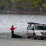
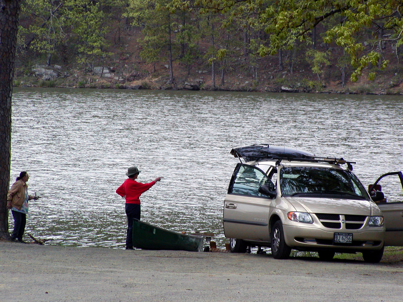
Visitors prepare to launch a canoe onto Cedar Lake.
Public Domain.
Download Original (1600 x 1200 pixels, 1418.3 MB)
-
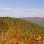
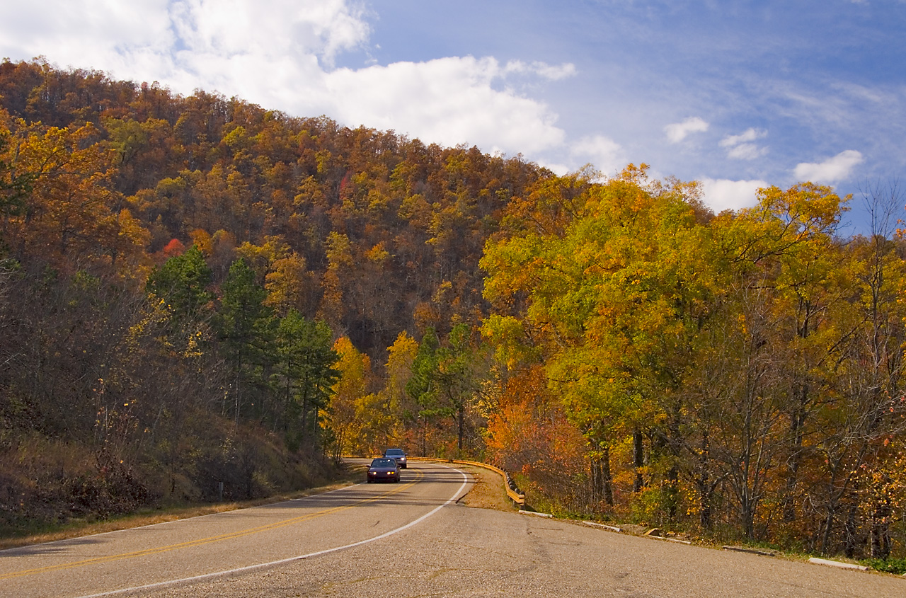
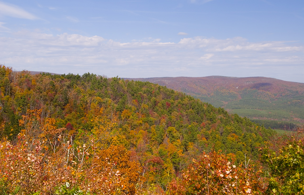
The mountains surrounding Talimena Scenic Drive in the Ouachita National Forest pronounce their beauty with the fall foliage on a beautiful, sunny autumn day.
© November 2006 Neil Li.
Download Original (1280 x 819 pixels, 592.4 KB)