
Dinosaur Diamond Prehistoric Highway
All Photos (144)
-
-
-
-
-
-
-
-
-
-
-
-
-
-
-
-
-
-
-
-
-
-
-
-
-
-
-
-
-

-

-
-
-
-
-
-
-
-

-
-
-
-
-
-
-
-
-
-
-
-
-
-
-
-
-
-
-
-
-
-
-
-
-
-
-
-
-
-
-

-
-
-
-
-
-

-
-
-
-
-
-
-
-
-
-
-
-
-
-

-
-
-
-
-
-
-
-
-
-
-
-
-
-
-
-
-
-
-
-
-
-
-
-
-
-
-
-
-
-
-
-
-
-
-
-
-
-
-

-
-
-
-
-
-
-
-
-
-
-
-
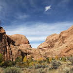
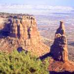
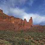
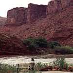
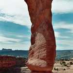
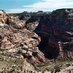
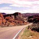
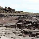
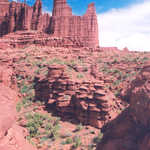
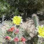
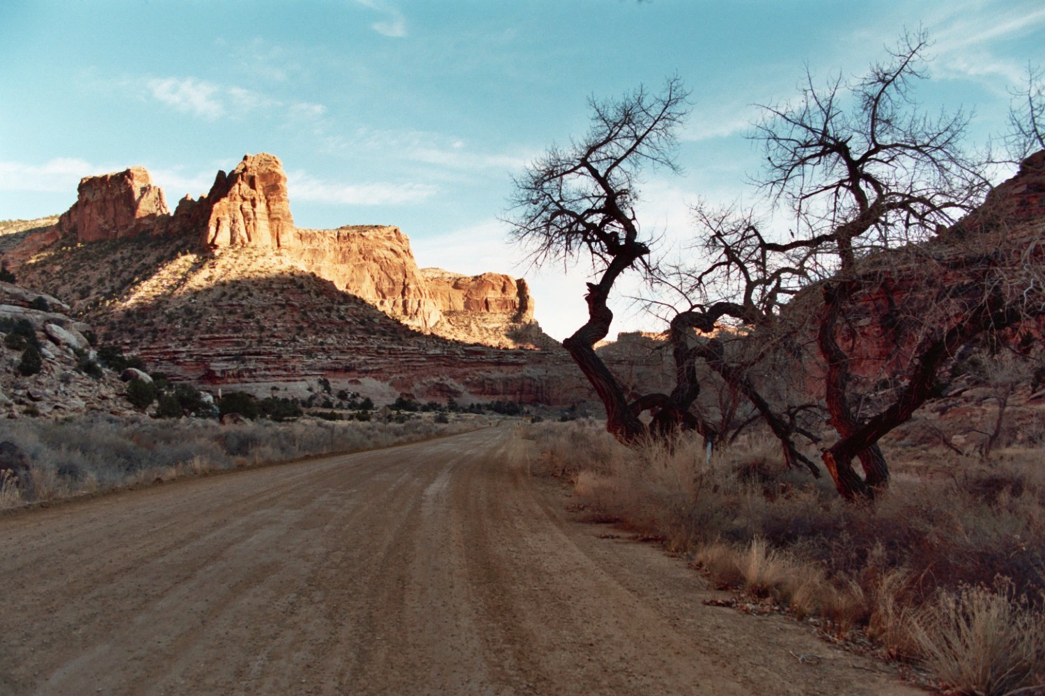
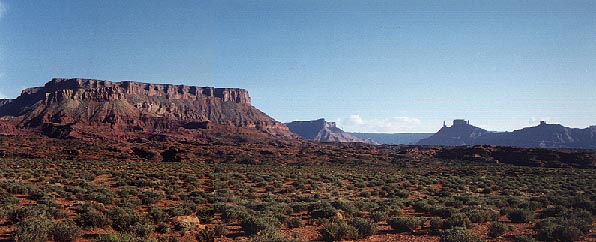
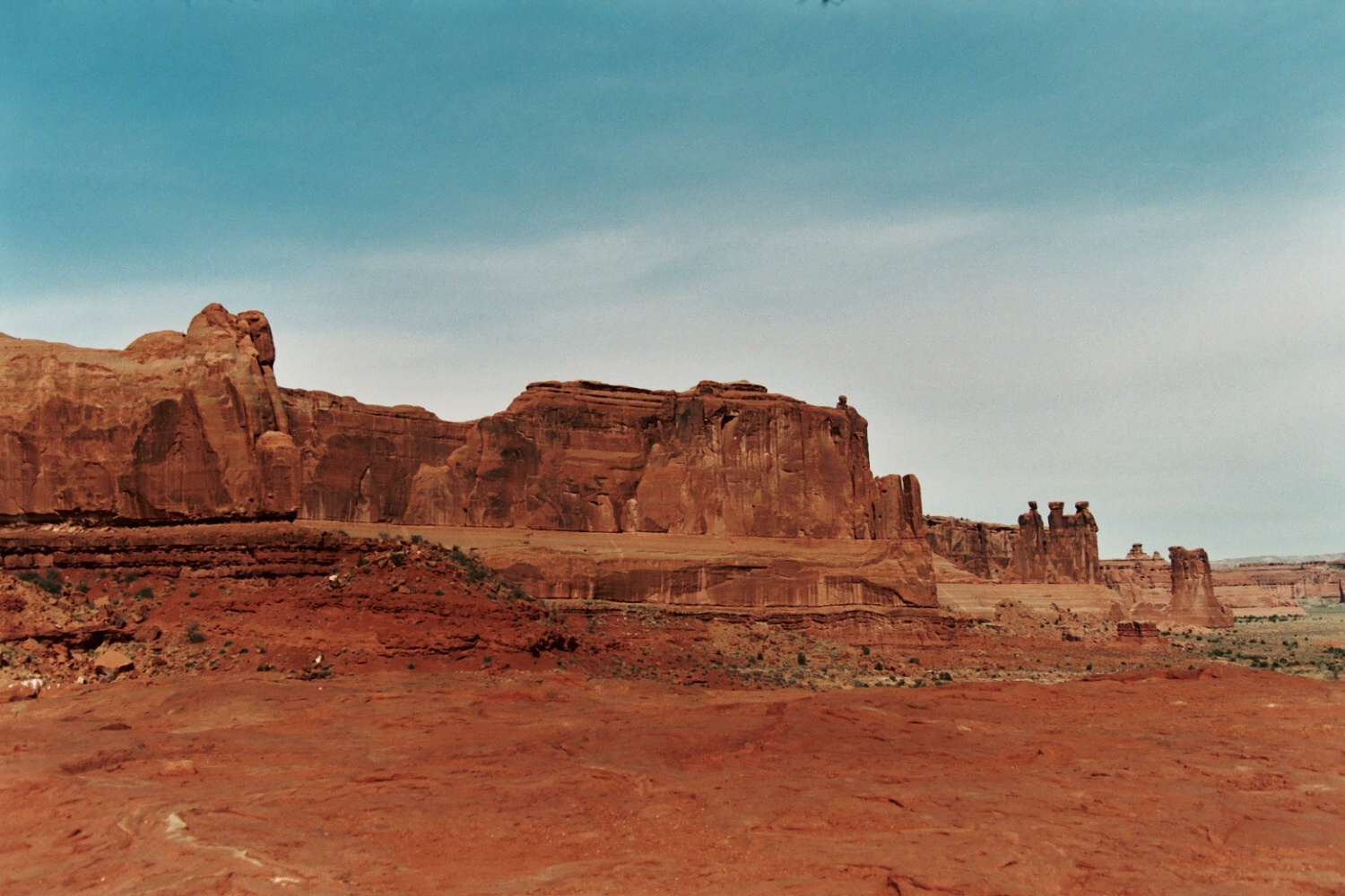
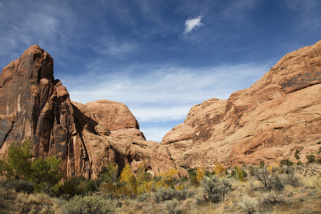
Colorful vegetation grows at the base of the signature red rocks of Mill Canyon, located just north of Moab, Utah.
 © October 13, 2009 Jared Tarbell.
Download Original (640 x 427 pixels, 166.6 KB)
-
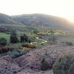
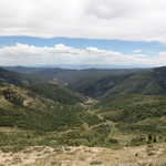
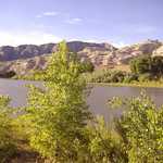
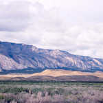
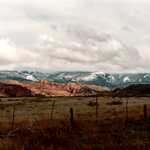
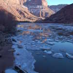
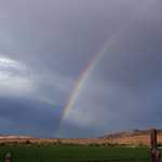
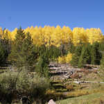
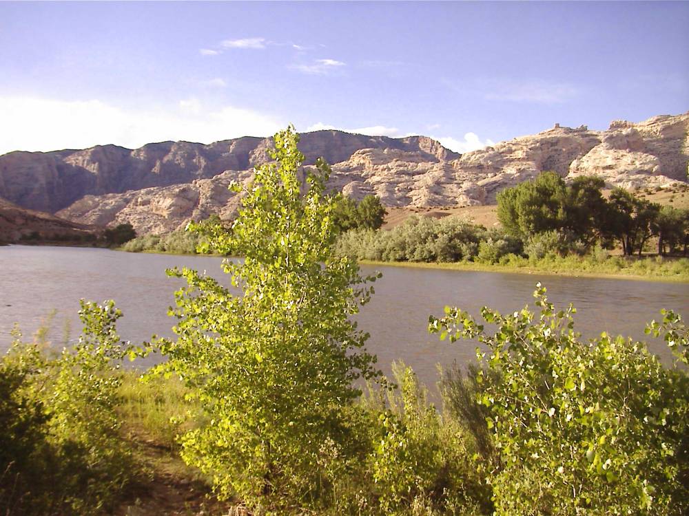
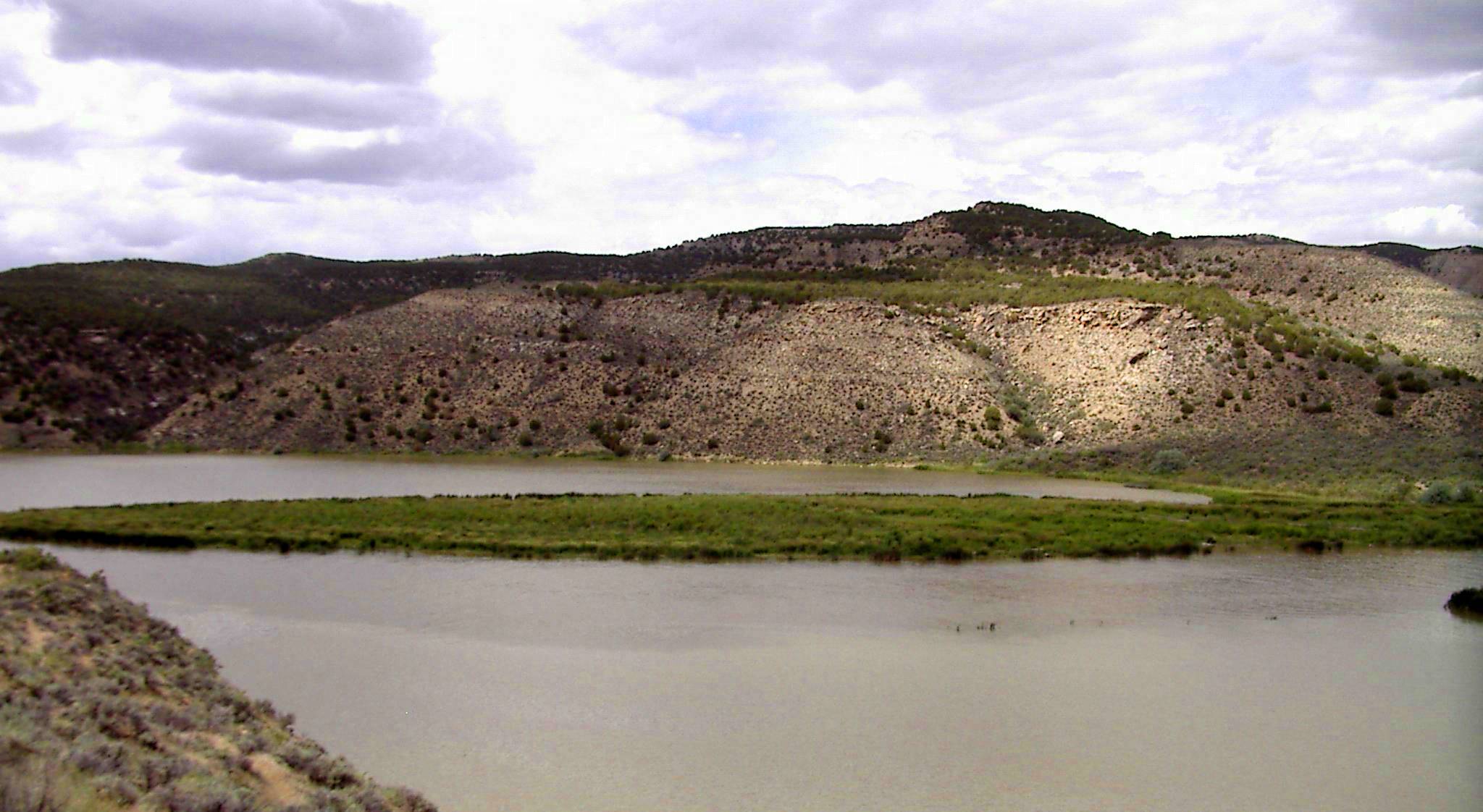
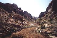
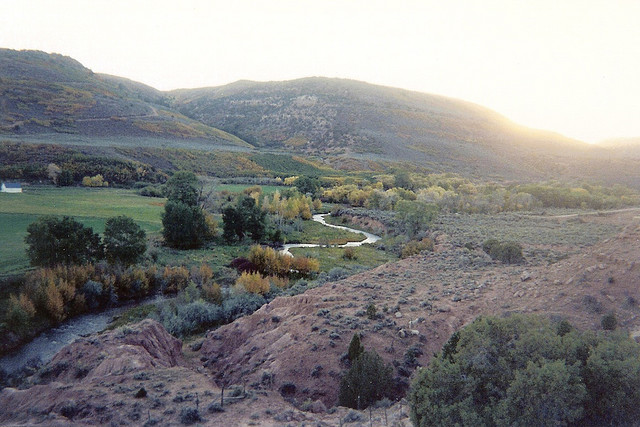
A shining stream winds through the rugged hills and green valleys of autumn-tinted Duchesne County.
 © October 15, 2000 Ken Lund.
Download Original (640 x 427 pixels, 107.2 KB)
-
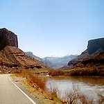
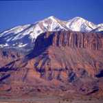
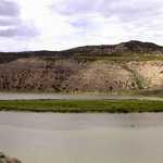
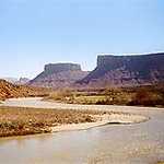
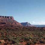
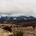
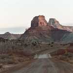
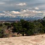
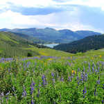
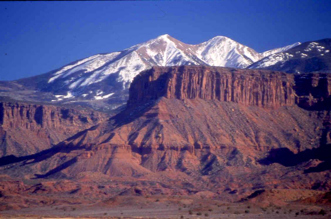
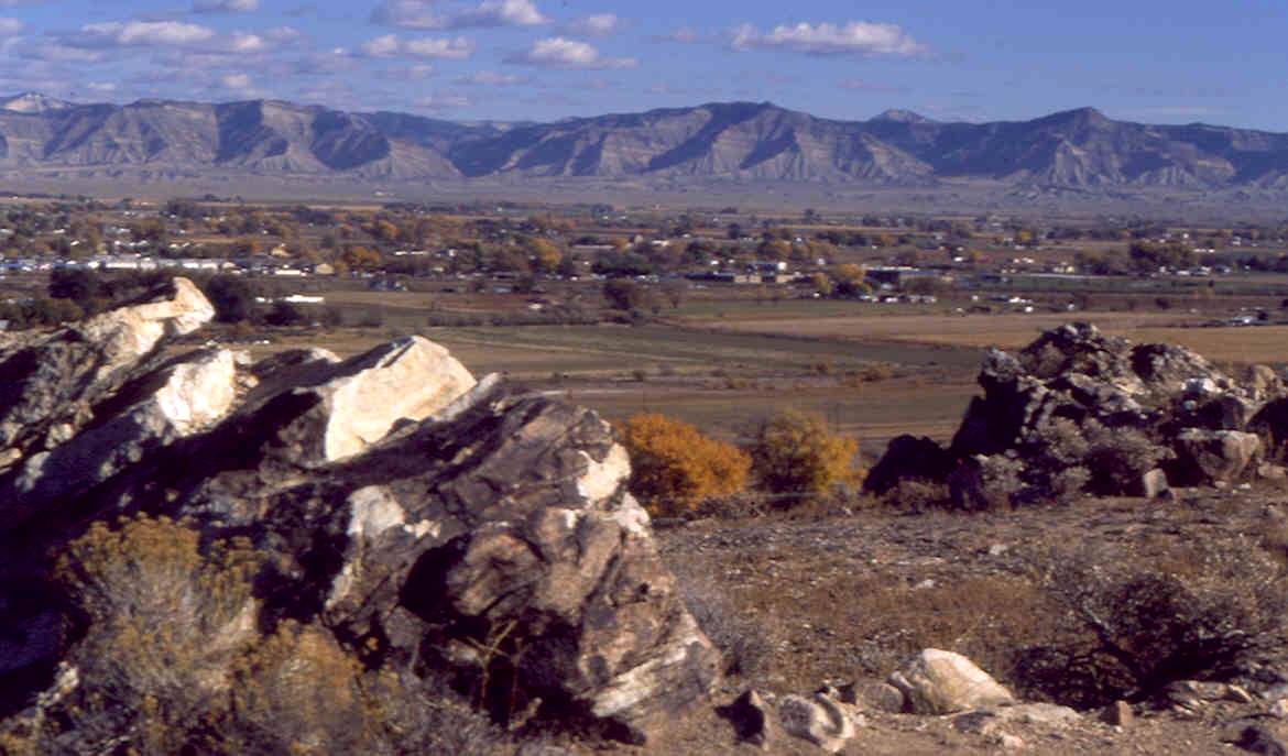
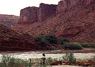
La Sal Mountains from Colorado River Gorge lies under a clear blue sky in very early spring before things started greening up.
© March 1996 A. E. Crane.
Download Original (200 x 169 pixels, 11.9 KB)
-
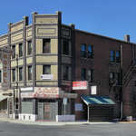
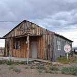
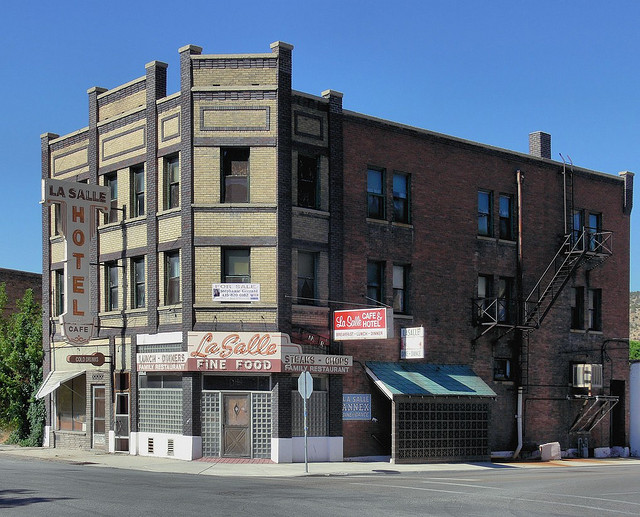
The old LaSalle Hotel stands against a clear blue sky in Helper, Utah.
 © July 14, 2006 Joe Tordiff.
Download Original (640 x 517 pixels, 137.1 KB)
-
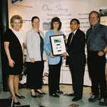
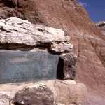
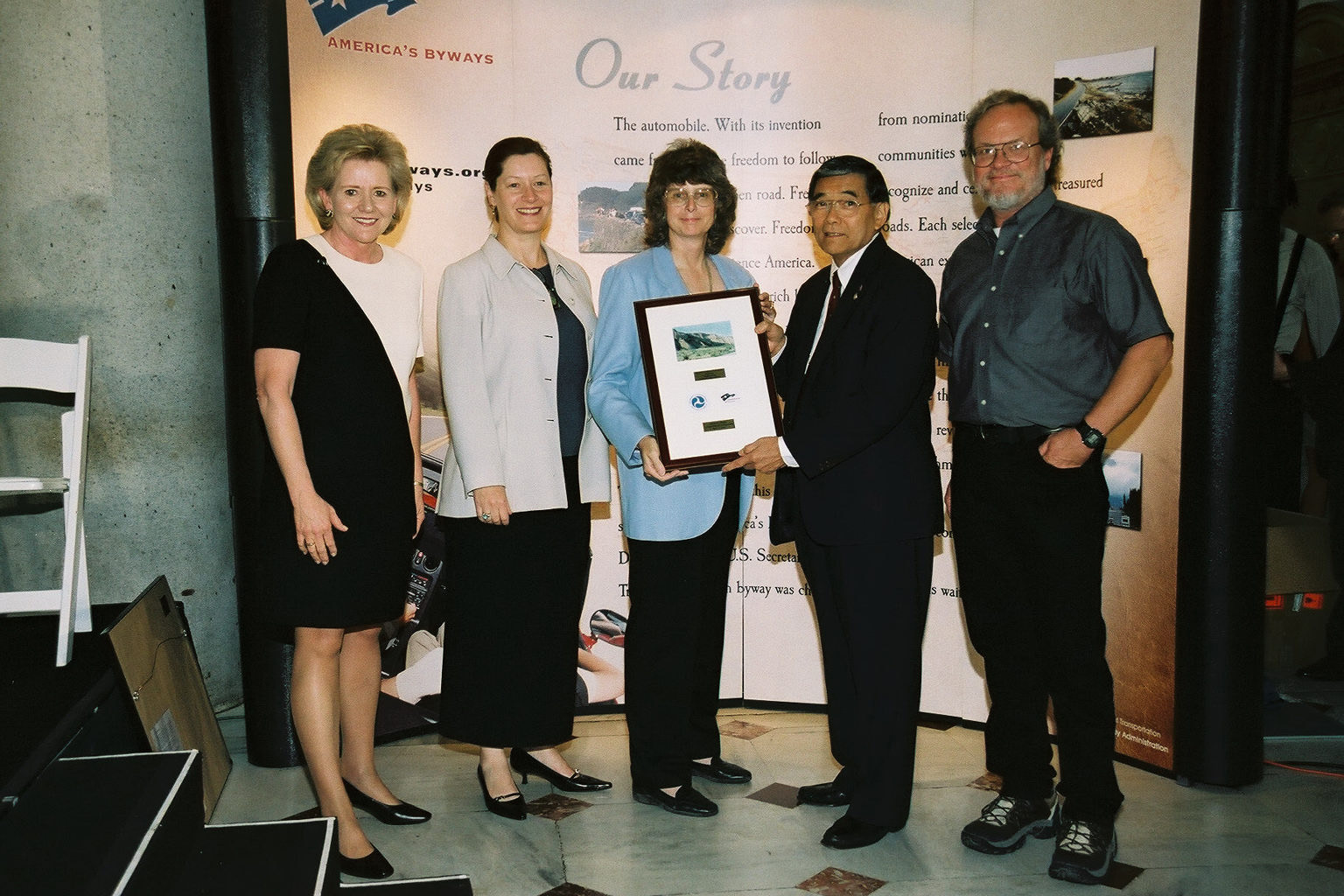
Dinosaur Diamond Prehistoric Highway receives their designation plaque at the Designation 2002 event at Union Station in Washington DC.
 © June 2002 FHWA-NSB.
Download Original (1536 x 1024 pixels, 414.4 KB)