
Edge of the Wilderness
All Photos (135)
-
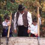
Children and adults will learn about logging at the Forest History Center in Grand Rapids, Minnesota.
© 2001 Minnesota Office of Tourism Library.
Download Original (235 x 360 pixels, 30.2 KB)
-
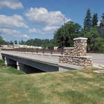
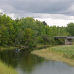
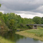
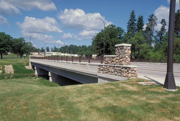
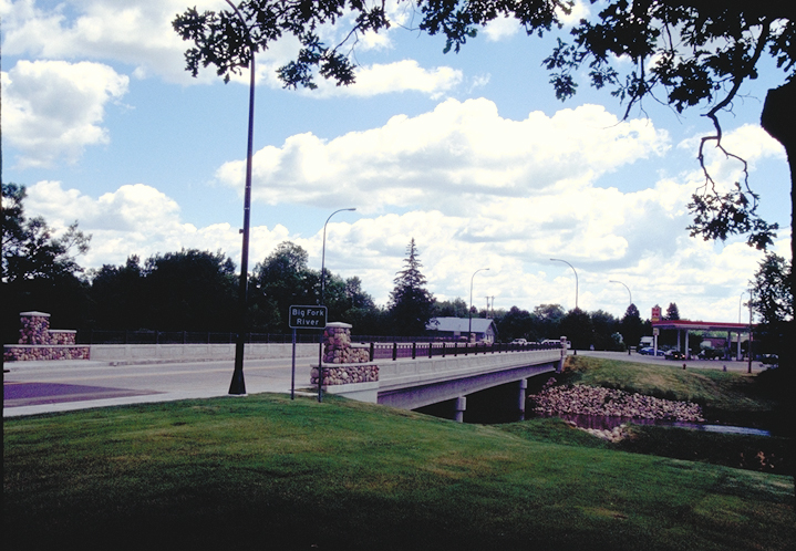
Bigfork Bridge blends into the landscape on the Edge of the Wilderness.
Public Domain. Photo by Dennis Adams
Download Original (743 x 501 pixels, 413.6 KB)
-
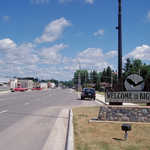
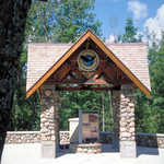
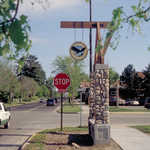
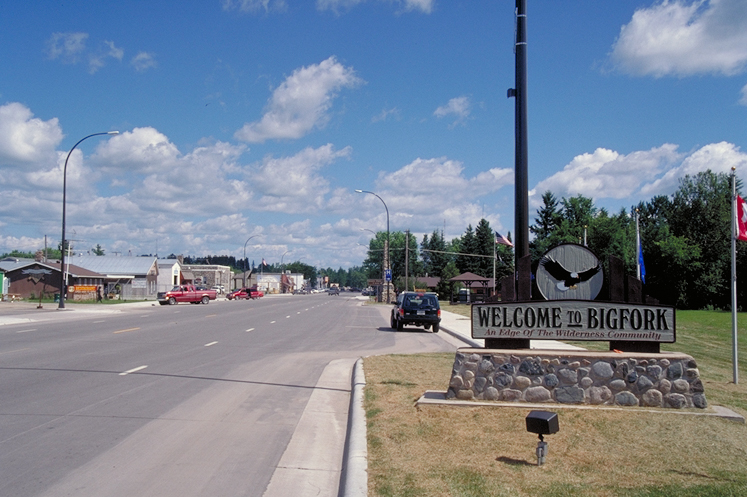
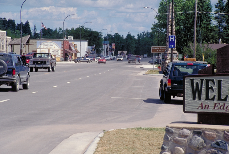
An attractive sign welcomes travelers to Bigfork, an Edge of the Wilderness community.
Public Domain. Photo by Dennis Adams
Download Original (747 x 497 pixels, 340.7 KB)
-
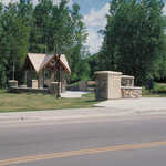
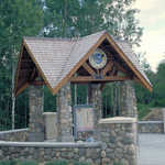
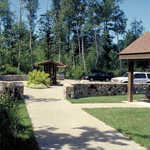
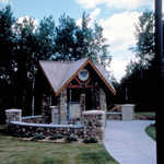
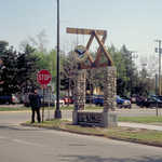
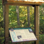
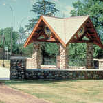
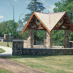
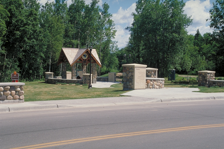
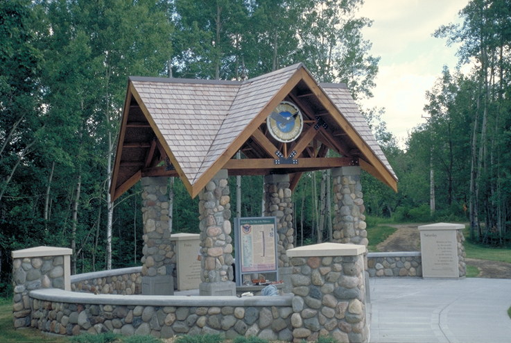
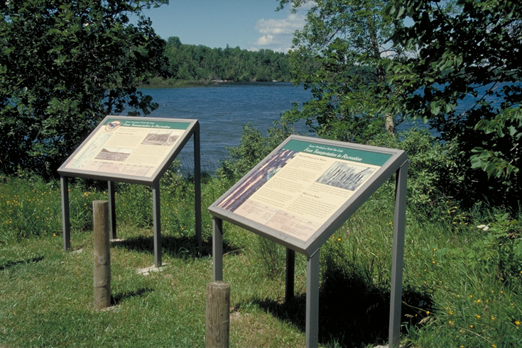
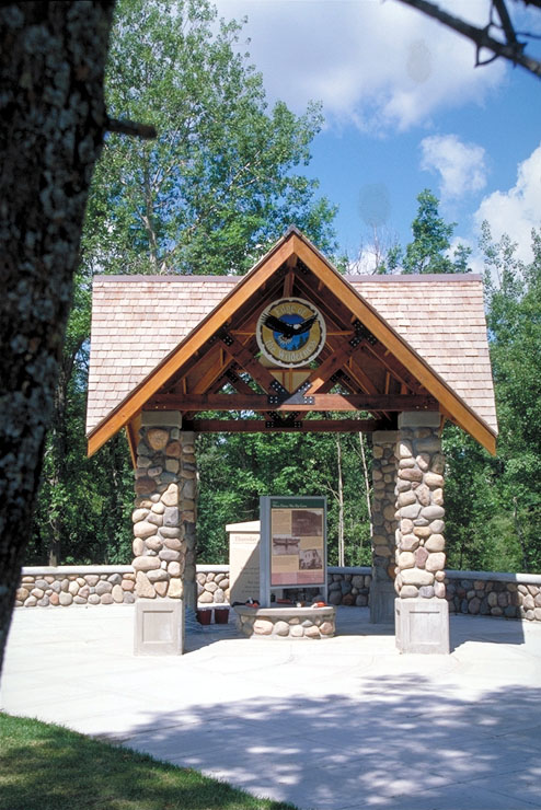
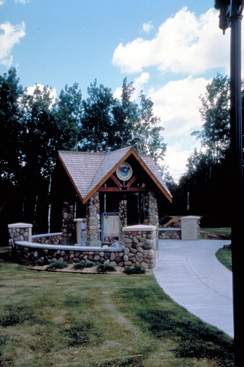
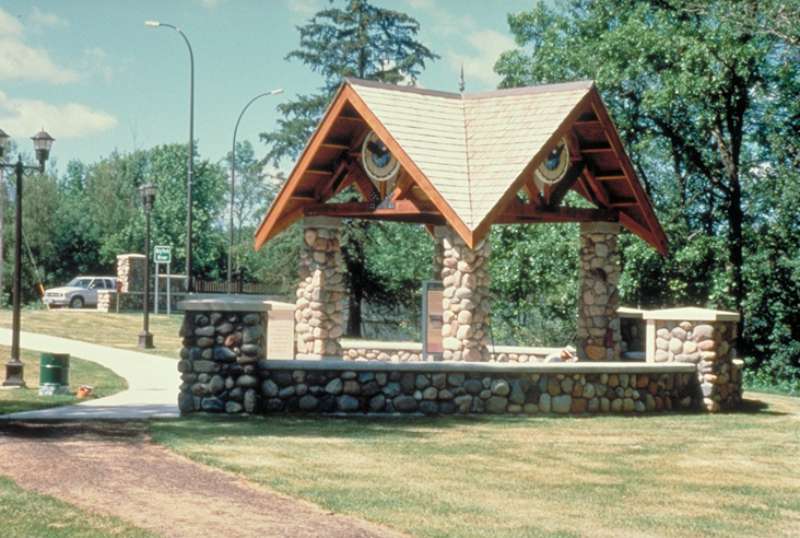
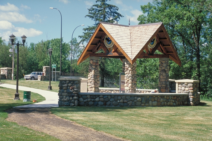
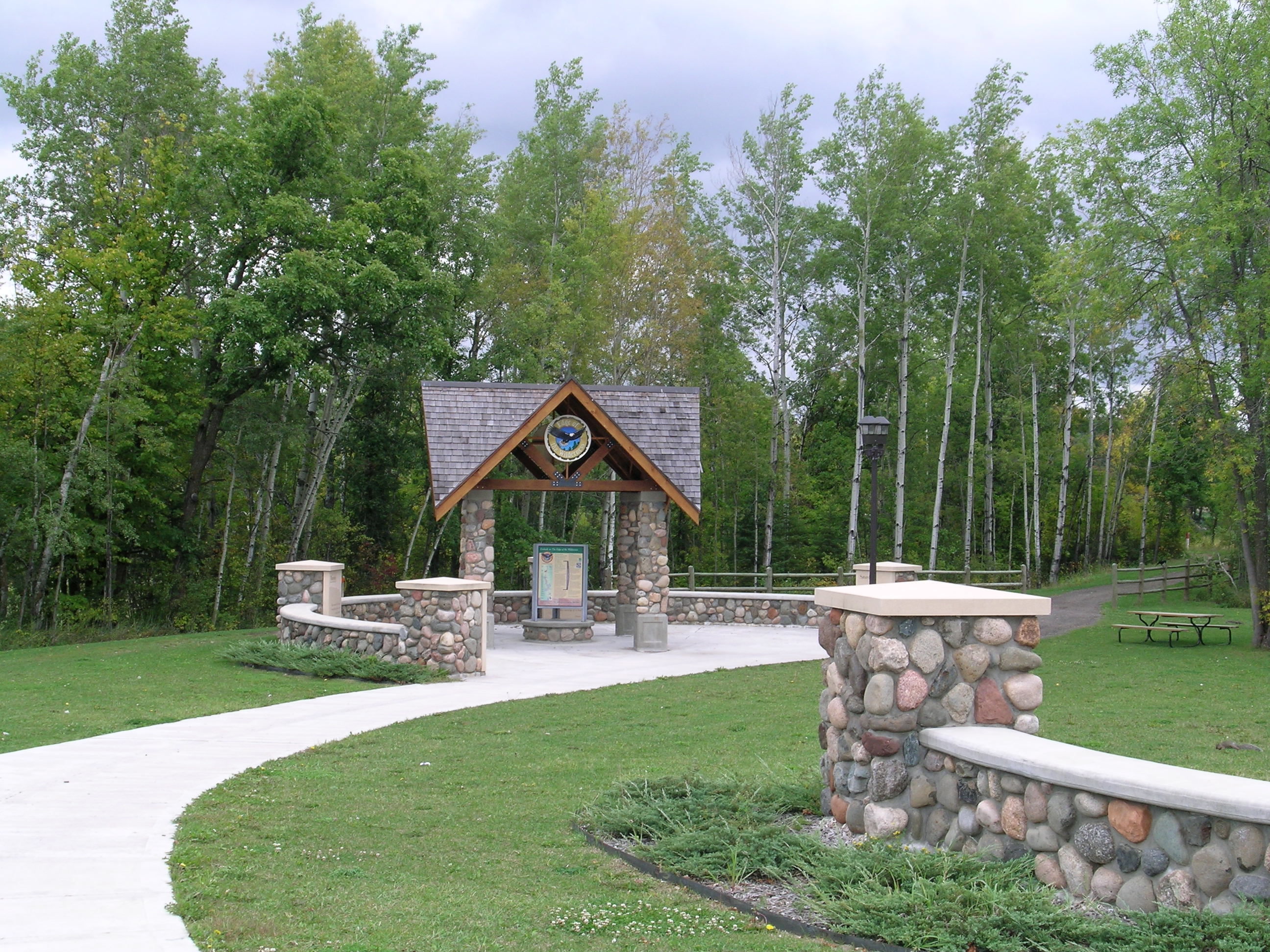
A covered interpretive site in Bigfork offers visitors a chance to stretch their legs and become oriented with the area.
Public Domain. Photo by Dennis Adams
Download Original (742 x 492 pixels, 401.5 KB)
-
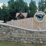
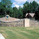
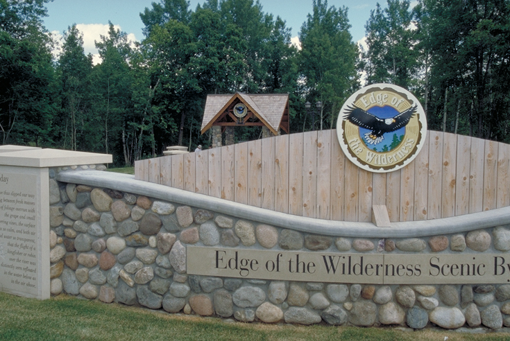
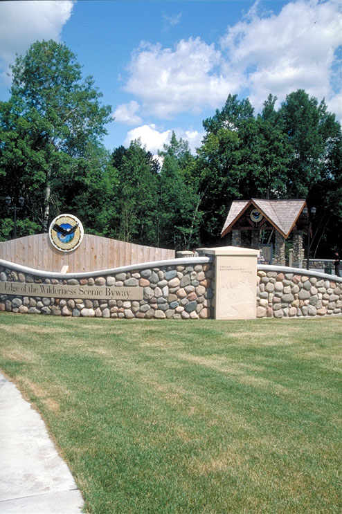
A beautifully designed wood and river rock sign welcomes travelers to the Edge of the Wilderness Scenic Byway in Big Fork, MN.
Public Domain. Photo by Dennis Adams
Download Original (735 x 492 pixels, 401.2 KB)
-
A covered interpretive site in Bigfork offers visitors a chance to stretch their legs and become oriented with the area.
Public Domain. Photo by Dennis Adams
Download Original (737 x 494 pixels, 420.4 KB)
-
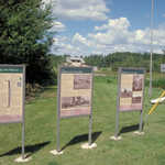
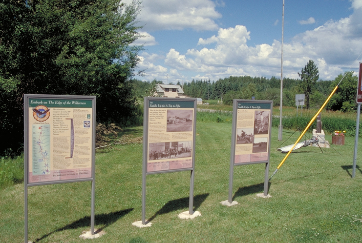
Interpretive plaques line the gateway to the Edge of the Wilderness Scenic Byway, beginning in Effie, MN.
Public Domain. Photo by Dennis Adams of FHWA
Download Original (741 x 498 pixels, 418.9 KB)
-
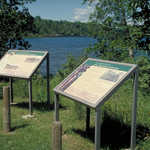
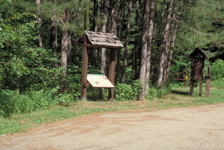
Interpretive signs overlook Pughole Lake.
Public Domain. Photo by Dennis Adams of FHWA
Download Original (735 x 491 pixels, 489.4 KB)
-
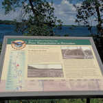
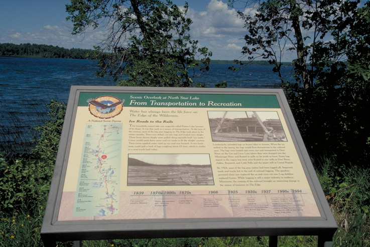
This interpretive sign discusses how the lake went from being used for transportation to a recreational site.
Public Domain. Photo by Dennis Adams of FHWA
Download Original (737 x 493 pixels, 409.1 KB)
-
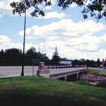
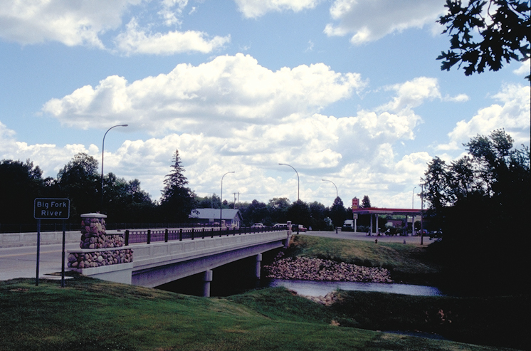
Bigfork Bridge leads travelers over the river to the interpretive site.
Public Domain. Photo by Dennis Adams
Download Original (719 x 498 pixels, 373.9 KB)
-
Bigfork Bridge leads travelers over the river to the interpretive site.
Public Domain. Photo by Dennis Adams
Download Original (746 x 493 pixels, 343.6 KB)
-
The Bigfork Interpretive Site is situated at the end of the Bigfork Bridge.
Public Domain. Photo by Dennis Adams
Download Original (745 x 498 pixels, 398.2 KB)
-
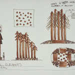
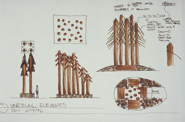
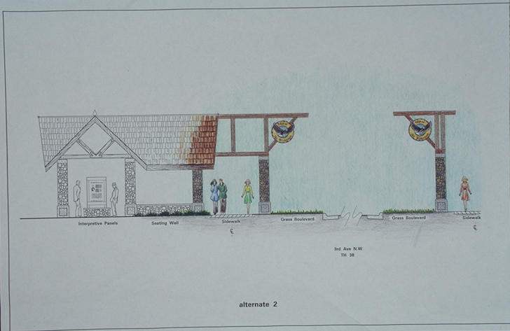
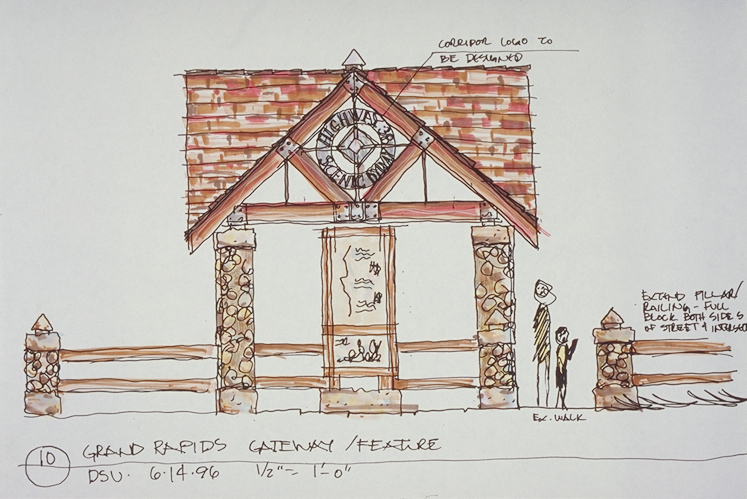
This illustration shows concept designs for the gateway to Edge of the Wilderness.
Public Domain. Photo by Dennis Adams
Download Original (742 x 491 pixels, 314.7 KB)
-
This illustration shows concept designs for the gateway to Edge of the Wilderness.
Public Domain. Photo by Dennis Adams
Download Original (750 x 499 pixels, 260.5 KB)
-
This illustration shows concept designs for the gateway to Edge of the Wilderness.
Public Domain. Photo by Dennis Adams
Download Original (728 x 473 pixels, 239.1 KB)
-
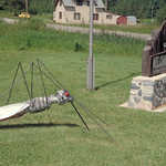
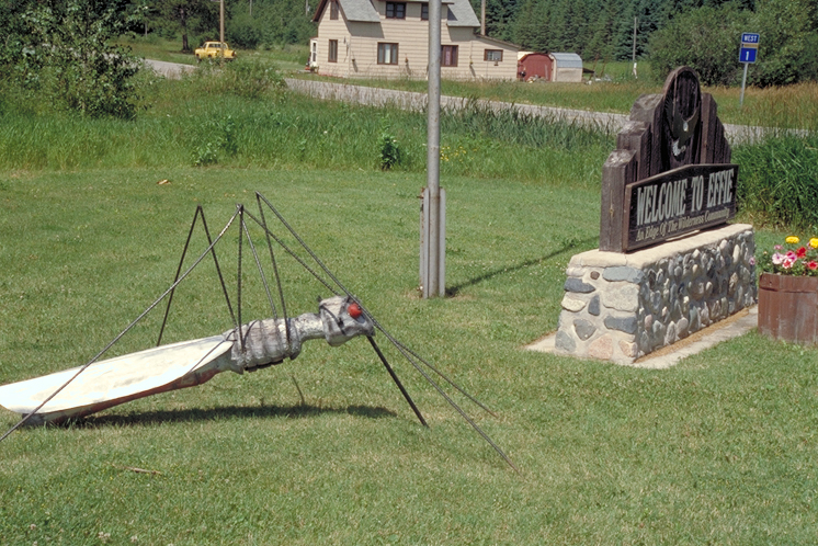
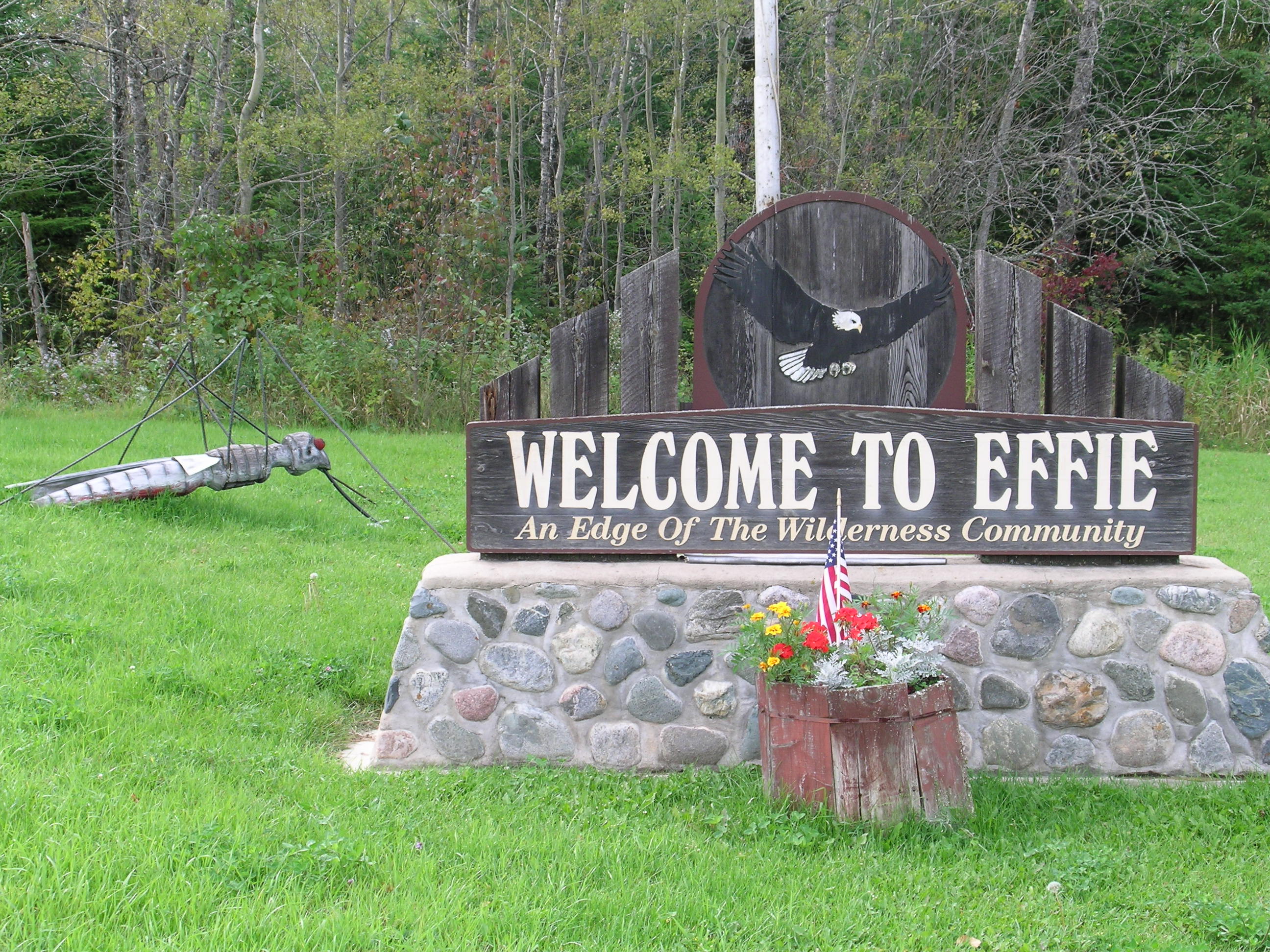
Have gigantic mosquitoes invaded Effie? Nope, but there is a sculpture of one near the Welcome to Effie sign.
Public Domain. Photo by Dennis Adams
Download Original (746 x 498 pixels, 464.6 KB)
-
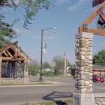
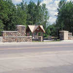
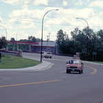
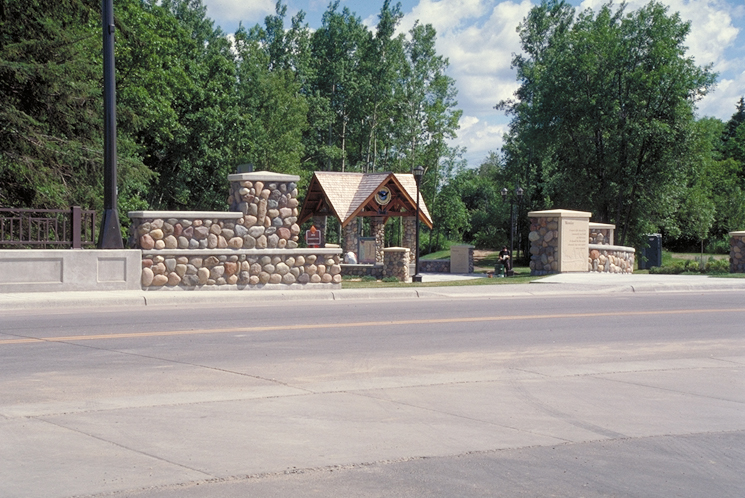
The gateway to the Edge of the Wilderness Scenic Byway in Grand Rapids welcomes visitors to one of the terminus towns of the Byway.
Public Domain. Photo by Dennis Adams
Download Original (725 x 485 pixels, 376.6 KB)
-
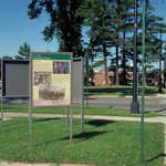
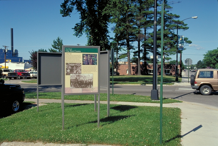
Interpretive signs in Grand Rapids offer more information about the Edge of the Wilderness Scenic Byway.
Public Domain. Photo by Dennis Adams
Download Original (749 x 501 pixels, 435.9 KB)
-
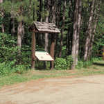
An interpretive sign blends into the landscape on the wayside of the Edge of the Wilderness Scenic Byway.
Public Domain. Photo by Dennis Adams
Download Original (734 x 494 pixels, 483.9 KB)
-

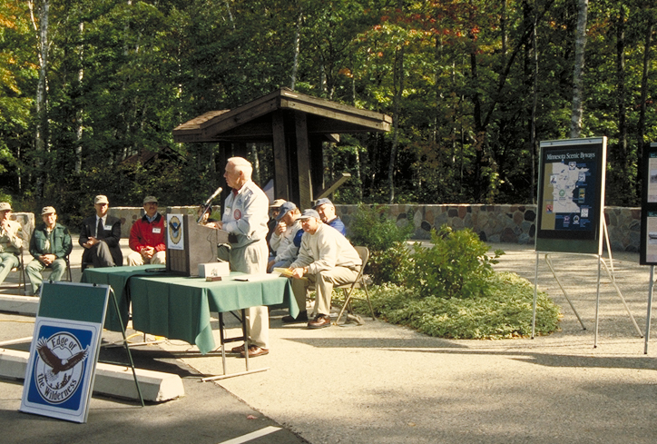
The USFS dedicates an interpretive sign on at the Laurentian Divide wayside of the Edge of the Wilderness Scenic Byway.
Public Domain. Photo by Dennis Adams
Download Original (724 x 489 pixels, 464.8 KB)
-
Interpretive signs are located near a boat ramp.
Public Domain. Photo by Dennis Adams
Download Original (748 x 497 pixels, 423.5 KB)
-

A road sign marks the Edge of the Wilderness Scenic Byway.
Public Domain. Photo by Dennis Adams
Download Original (734 x 488 pixels, 494.6 KB)
-
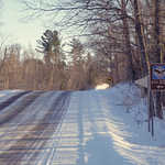
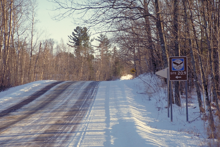
The roadside byway sign for Edge of the Wilderness Scenic Byway shows up clearly, even on snowy days.
Public Domain. Photo by Dennis Adams
Download Original (731 x 490 pixels, 435.8 KB)
-
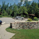
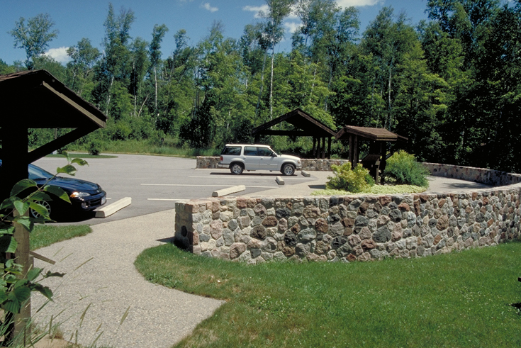
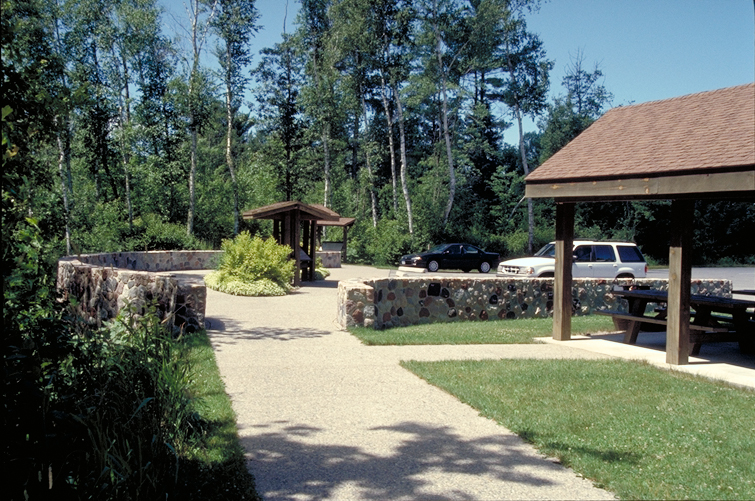
A nicely kept USFS wayside doubles as a rest stop on the Edge of the Wilderness Scenic Byway.
Public Domain. Photo by Dennis Adams
Download Original (735 x 491 pixels, 451.9 KB)
-
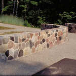
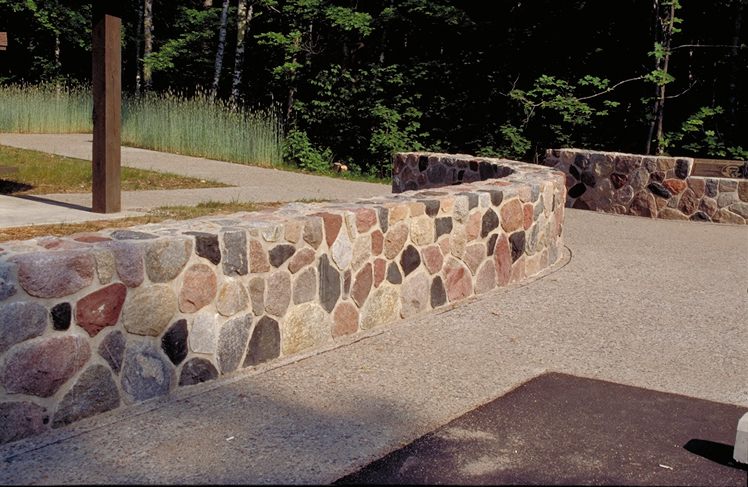
Lovely stonework lines a walkway at a nicely kept wayside on the Edge of the Wilderness Scenic Byway.
Public Domain. Photo by Dennis Adams
Download Original (748 x 487 pixels, 413.4 KB)
-
A nicely kept USFS wayside doubles as a rest stop on the Edge of the Wilderness Scenic Byway.
Public Domain. Photo by Dennis Adams
Download Original (755 x 501 pixels, 495.3 KB)
-
The Bigfork Interpretive Site welcomes travelers to the Edge of the Wilderness.
Public Domain. Photo by Dennis Adams
Download Original (494 x 743 pixels, 144.9 KB)
-
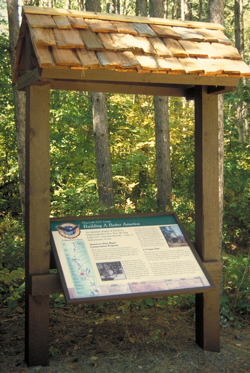
A covered interpretive panel offers information for travelers of the Edge of the Wilderness.
Public Domain. Photo by Dennis Adams
Download Original (494 x 740 pixels, 140.1 KB)
-
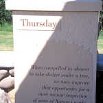
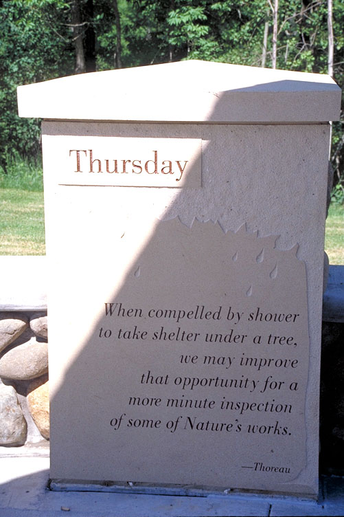
Thoreau advises that we make use of our time caught in a rainshower by making a closer inspection of Nature's works.
Public Domain. Photo by Dennis Adams of FHWA
Download Original (501 x 752 pixels, 102.3 KB)
-

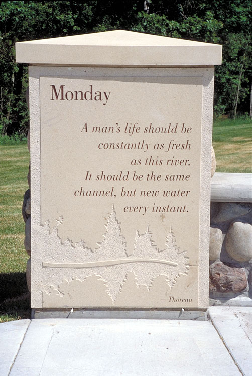
Monday's piece of advice from Thoreau encourages us to constantly refresh our lives.
Public Domain. Photo by Dennis Adams of FHWA
Download Original (502 x 749 pixels, 117.7 KB)
-
A covered interpretive panel offers information for travelers of the Edge of the Wilderness.
Public Domain. Photo by Dennis Adams of FHWA
Download Original (493 x 740 pixels, 109.6 KB)
-
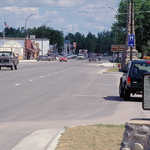
Welcome to Bigfork, an Edge of the Wilderness community!
Public Domain. Photo by Dennis Adams of FHWA
Download Original (743 x 499 pixels, 365.0 KB)
-
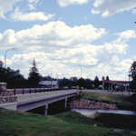
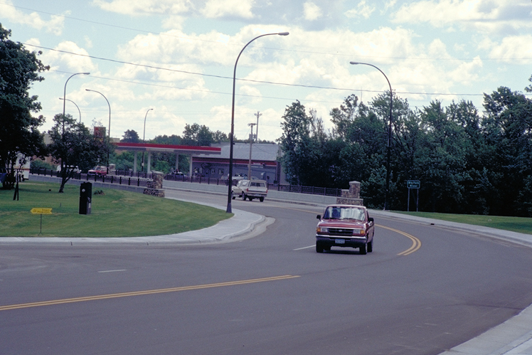
Drivers cross a bridge in Bigfork, which is near a major byway interpretive station.
Public Domain. Photo by Dennis Adams of FHWA
Download Original (748 x 499 pixels, 340.4 KB)
-
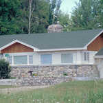
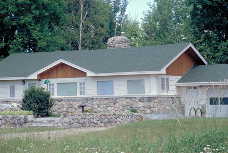
This building has stone worked in a way which was used in some Edge of the Wilderness byway features.
Public Domain. Photo by Dennis Adams of FHWA
Download Original (744 x 499 pixels, 431.2 KB)
-
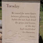
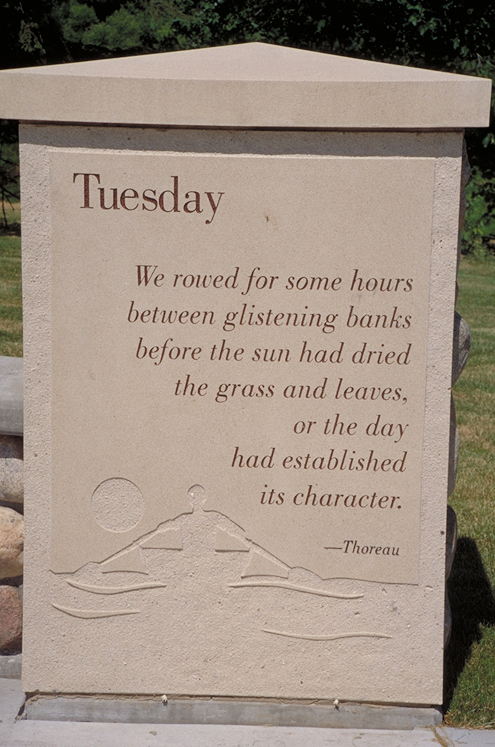
The "Tuesday" verse from Thoreau's poem is etched on this pillar at the Bigfork Interpretive site.
Public Domain. Photo by Dennis Adams of FHWA
Download Original (495 x 747 pixels, 341.8 KB)
-
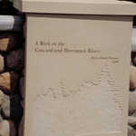
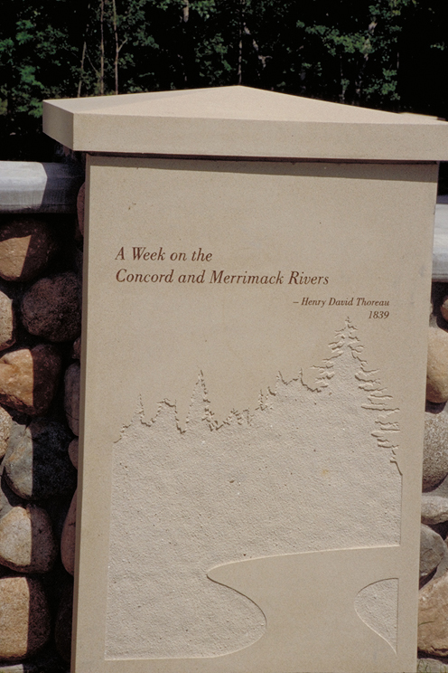
The title of Thoreau's poem, "A Walk on the Concord and Merrimack Rivers," is etched on this pillar at the Bigfork Interpretive site.
Public Domain. Photo by Dennis Adams of FHWA
Download Original (496 x 744 pixels, 309.4 KB)
-

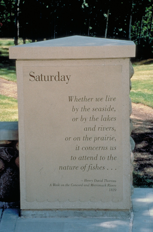
The "Saturday" verse from Thoreau's poem is etched on this pillar at the Bigfork Interpretive site.
Public Domain. Photo by Dennis Adams of FHWA
Download Original (491 x 742 pixels, 280.7 KB)
-
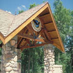
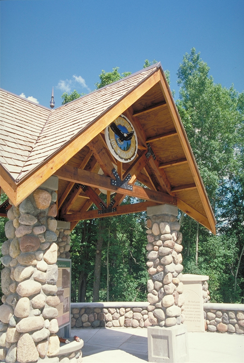
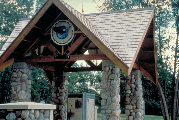
Stone and wood set off this splendid interpretive center for the Edge of the Wilderness in Bigfork.
Public Domain. Photo by Dennis Adams of FHWA
Download Original (495 x 738 pixels, 409.3 KB)
-
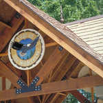
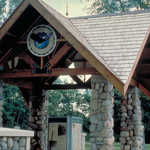
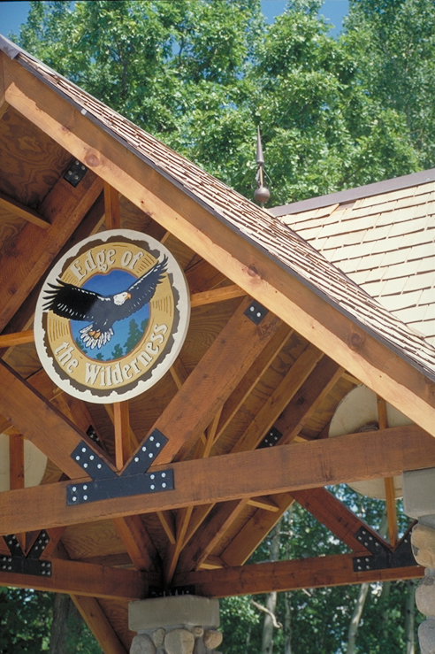
The Edge of the Wilderness logo is prominently displayed against the rafters of the Bigfork wayside.
Public Domain. Photo by Dennis Adams of FHWA
Download Original (492 x 739 pixels, 423.9 KB)
-
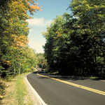
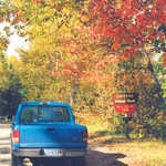
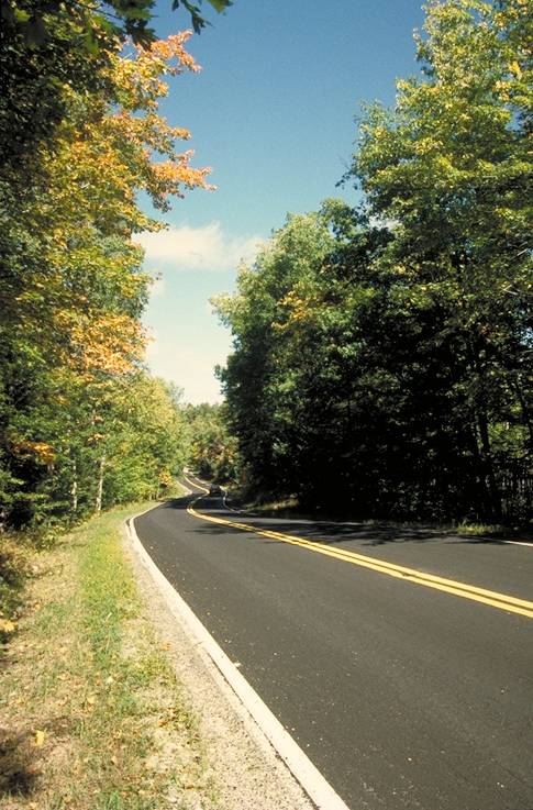
Autumn tints a roadside tree on the Edge of the Wilderness Scenic Byway.
Public Domain. Photo by Dennis Adams of FHWA
Download Original (485 x 737 pixels, 475.1 KB)
-
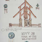
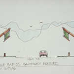
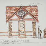
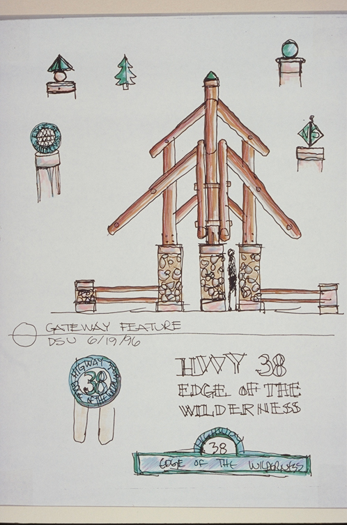
This is a sketch of one gateway concept design for the Edge of the Wilderness Scenic Byway.
Public Domain. Photo by Dennis Adams of FHWA
Download Original (498 x 753 pixels, 295.7 KB)
-
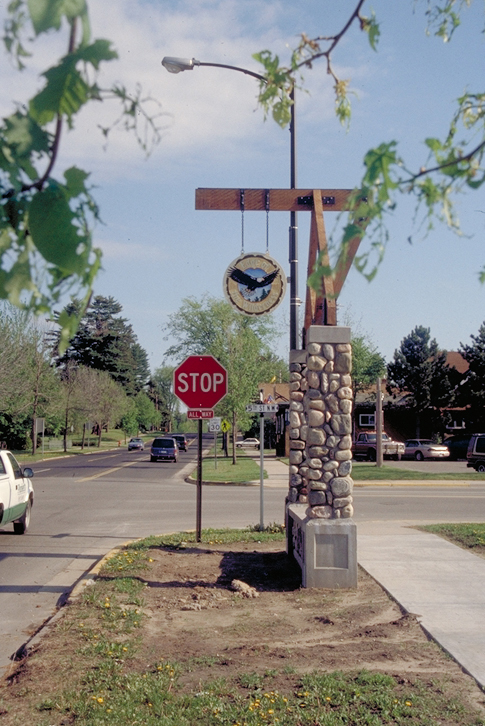
Byway travelers know they have entered the Edge of the Wilderness Scenic Byway when they see this stone and wood gateway sign.
Public Domain. Photo by Dennis Adams of FHWA
Download Original (485 x 726 pixels, 355.1 KB)
-
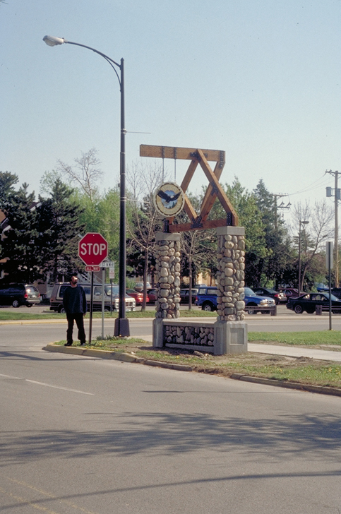
Byway travelers know they have entered the Edge of the Wilderness Scenic Byway when they see this stone and wood gateway sign.
Public Domain. Photo by Dennis Adams of FHWA
Download Original (483 x 728 pixels, 307.5 KB)
-
The Edge of the Wilderness logo is used on an interpretive sign at a USFS wayside.
Public Domain. Photo by Dennis Adams of FHWA
Download Original (491 x 733 pixels, 450.3 KB)
-
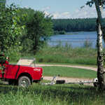
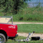
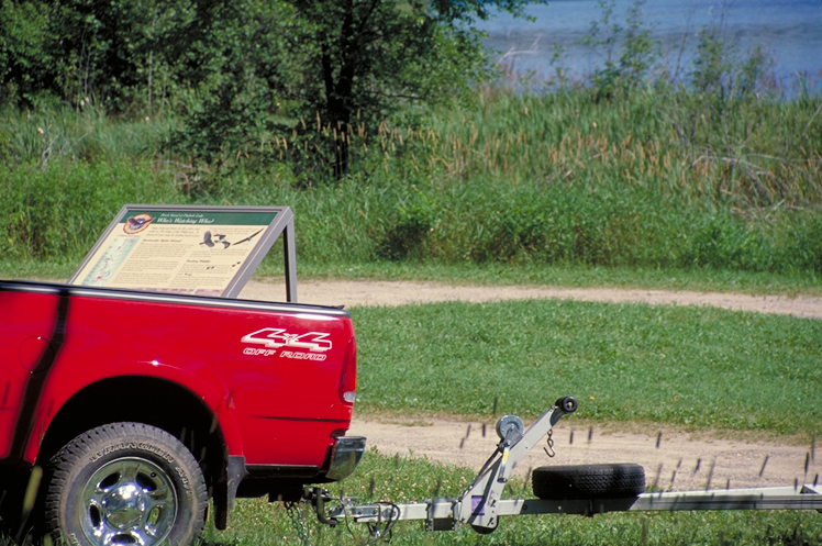
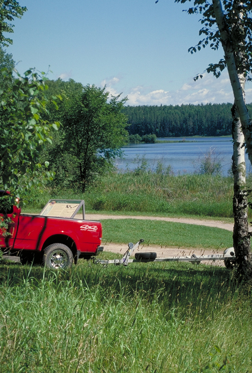
A red truck parks next to an interpretive sign at Pughole Lake.
Public Domain. Photo by Dennis Adams of FHWA
Download Original (495 x 734 pixels, 462.6 KB)
-
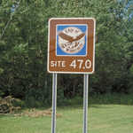
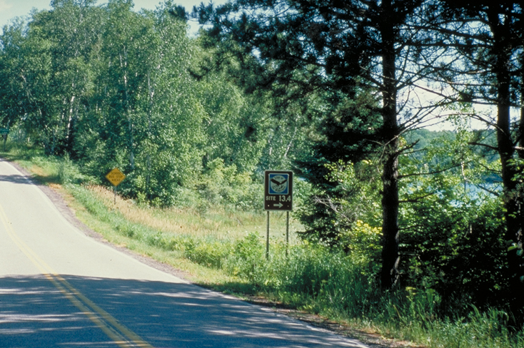
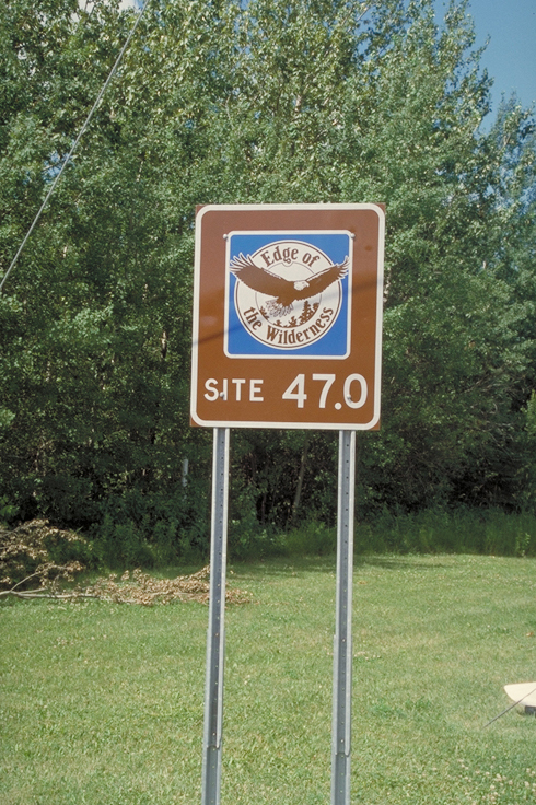
The sites are indicated at mile marker signs along the byway. This one is at mile marker 47.0.
Public Domain. Photo by Dennis Adams of FHWA
Download Original (490 x 736 pixels, 470.8 KB)
-
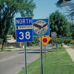
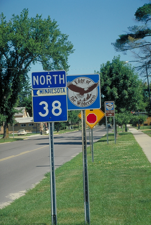
The State Highway 38 and Edge of the Wilderness roadsigns coexist quite nicely beside the road.
Public Domain. Photo by Dennis Adams of FHWA
Download Original (494 x 737 pixels, 438.0 KB)
-
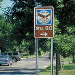
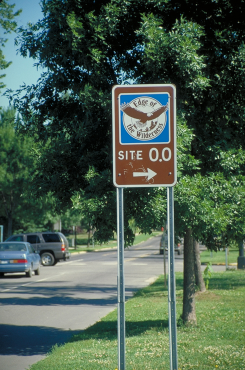
The sites are indicated at mile marker signs along the byway. This one is the first (mile 0.0)
Public Domain. Photo by Dennis Adams of FHWA
Download Original (490 x 740 pixels, 452.7 KB)
-

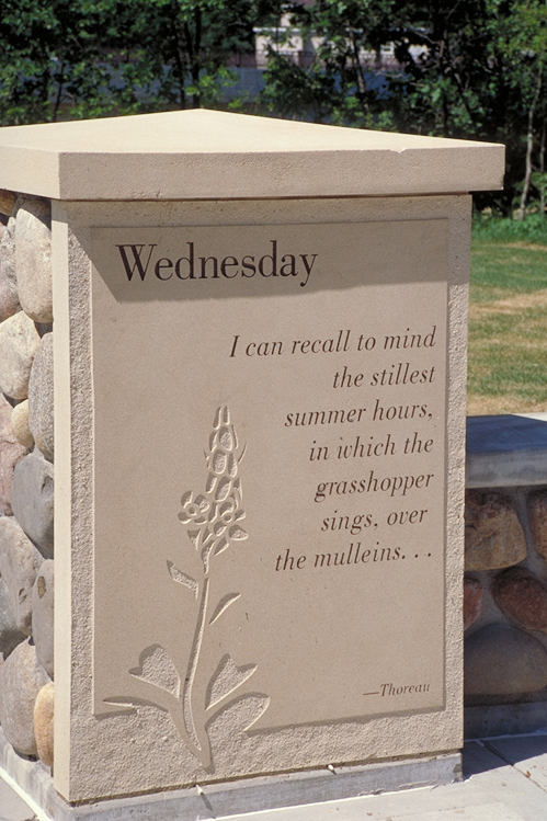
The "Wednesday" verse from Thoreau's poem is etched on this pillar at the Bigfork Interpretive site.
Public Domain. Photo by Dennis Adams of FHWA
Download Original (499 x 749 pixels, 358.5 KB)
-

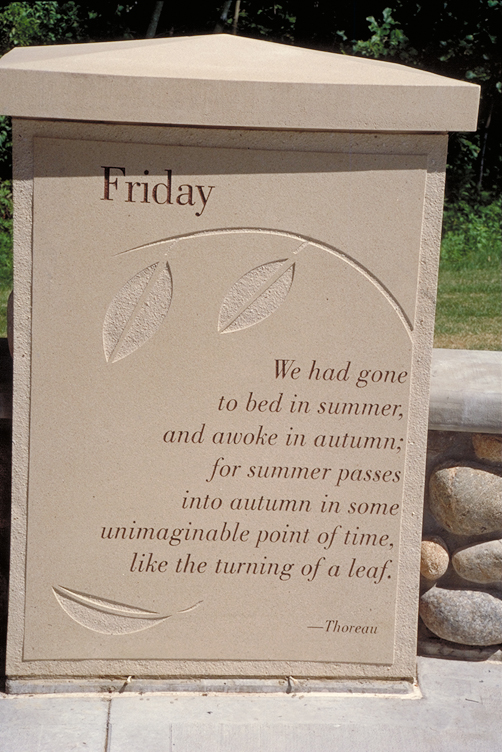
A quote by Thoreau is inscribed on a marker at the Bigfork Interpretive Site.
Public Domain. Photo by Dennis Adams
Download Original (502 x 752 pixels, 359.2 KB)
-
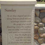
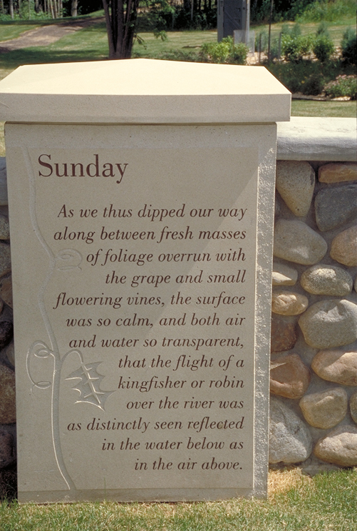
Inscriptions covering each day of the week are taken from Thoreau's short essay, "A Week on the Concord and Merrimack Rivers."
Public Domain. Photo by Dennis Adams of FHWA
Download Original (501 x 744 pixels, 365.6 KB)
-
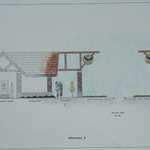
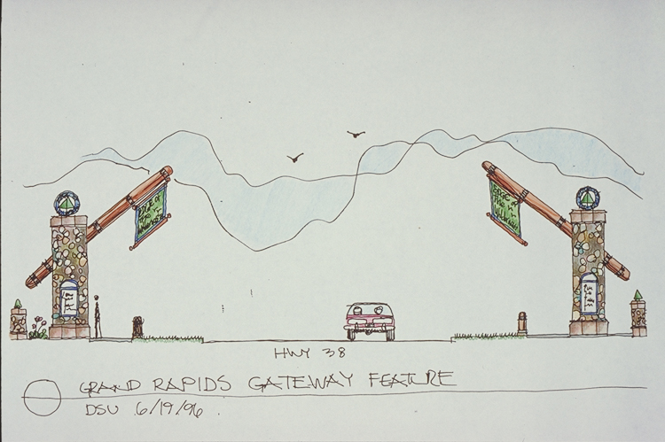
This illustration shows concept designs for the Grand Rapids gateway to Edge of the Wilderness.
Public Domain. Photo by Dennis Adams of FHWA
Download Original (747 x 499 pixels, 335.2 KB)
-
A covered interpretive site in Bigfork offers visitors a chance to stretch their legs and become oriented with the area.
Public Domain. Photo by Dennis Adams
Download Original (732 x 492 pixels, 424.2 KB)
-
A covered interpretive site in Bigfork offers visitors a chance to stretch their legs and become oriented with the area.
Public Domain. Photo by Dennis Adams
Download Original (738 x 492 pixels, 446.5 KB)
-
A covered interpretive site in Bigfork offers visitors a chance to stretch their legs and become oriented with the area.
Public Domain. Photo by Dennis Adams
Download Original (736 x 494 pixels, 396.1 KB)
-
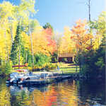
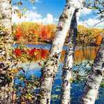
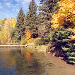
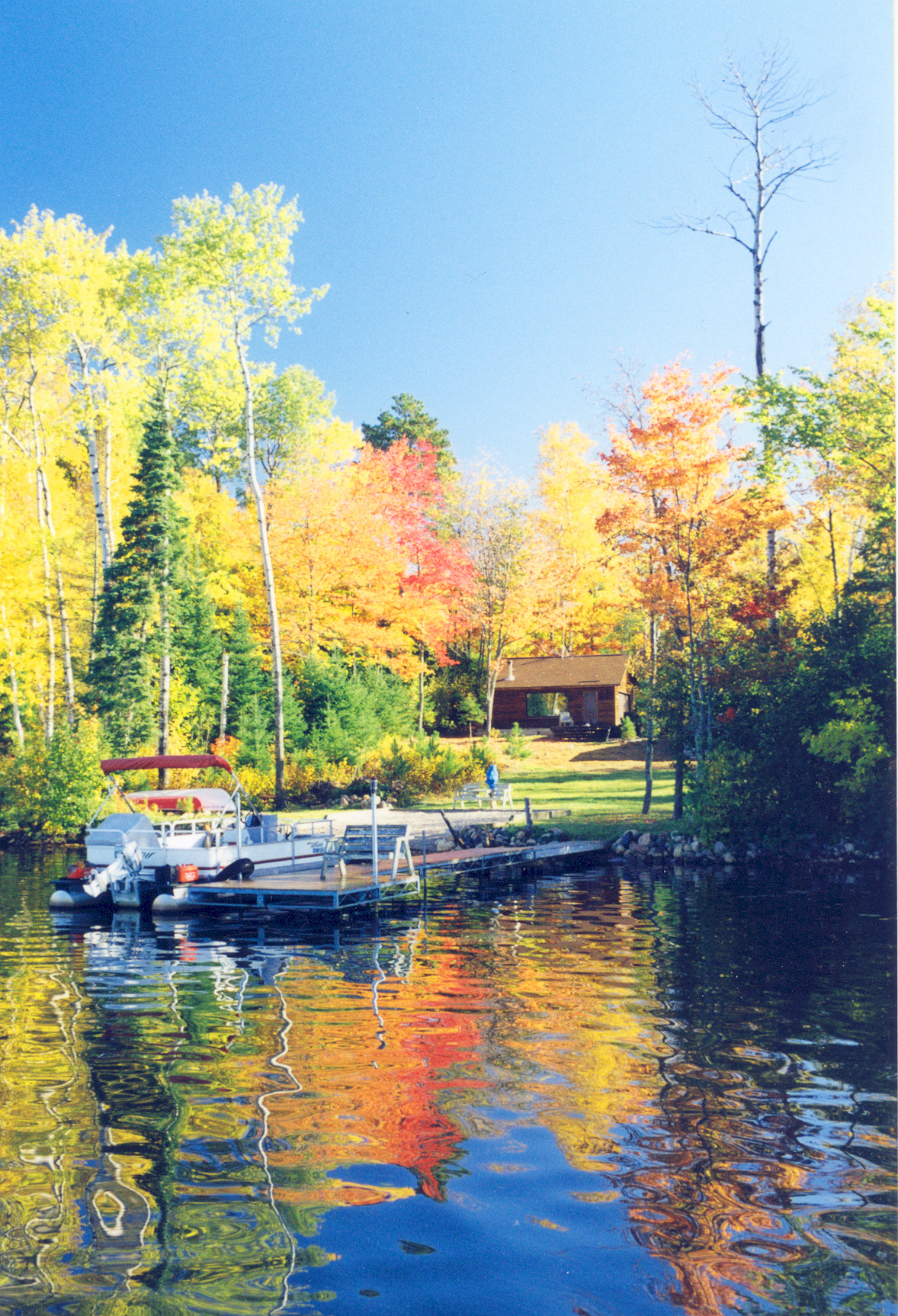
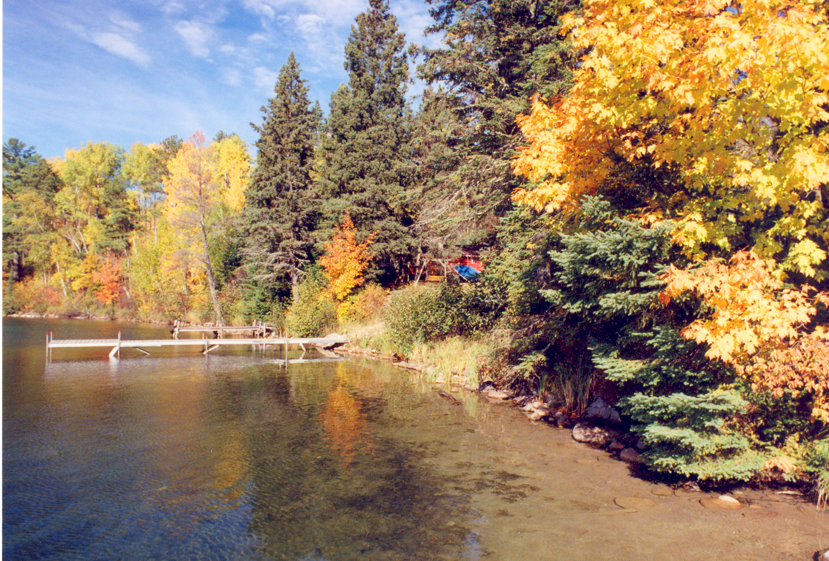
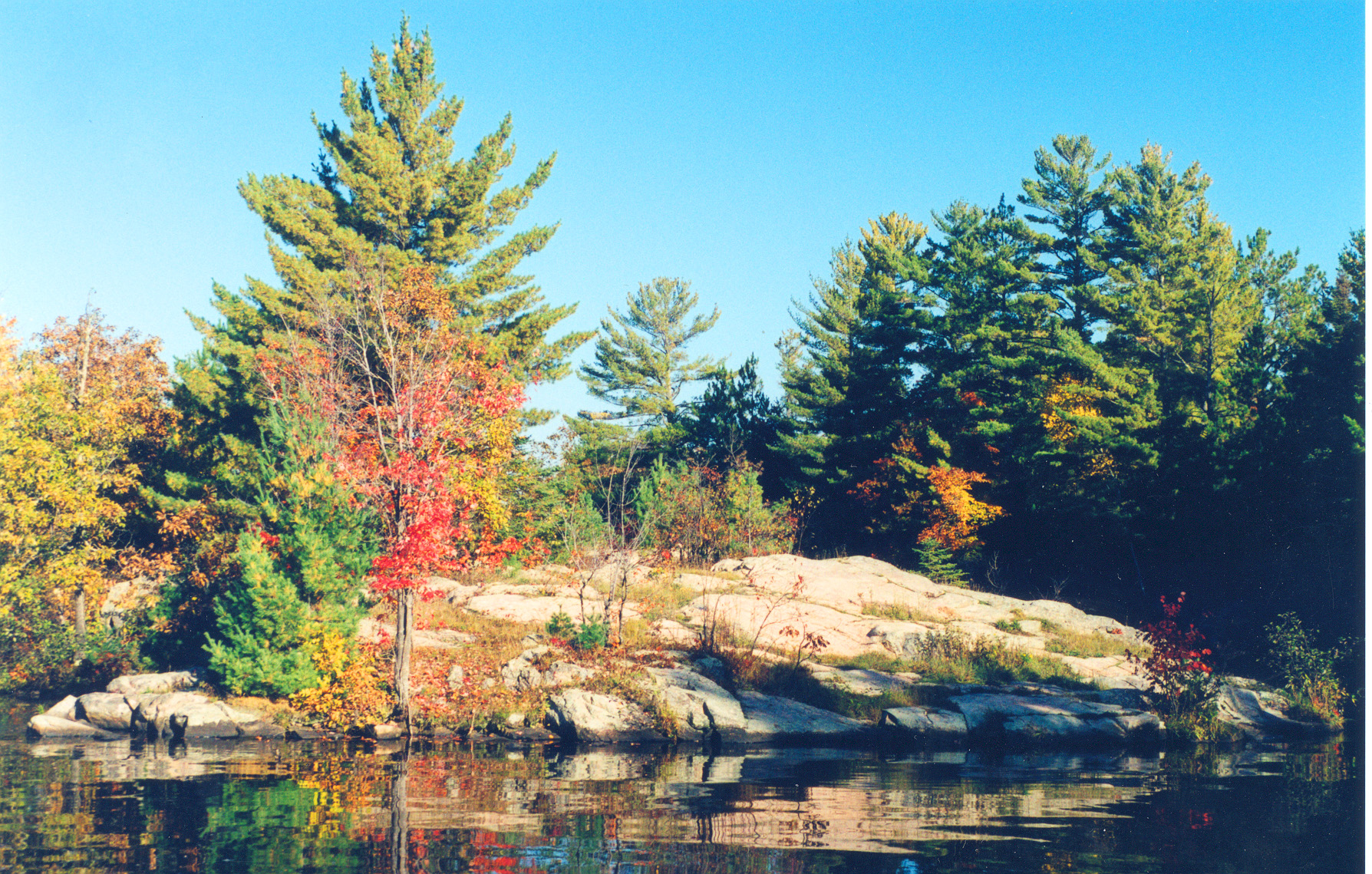
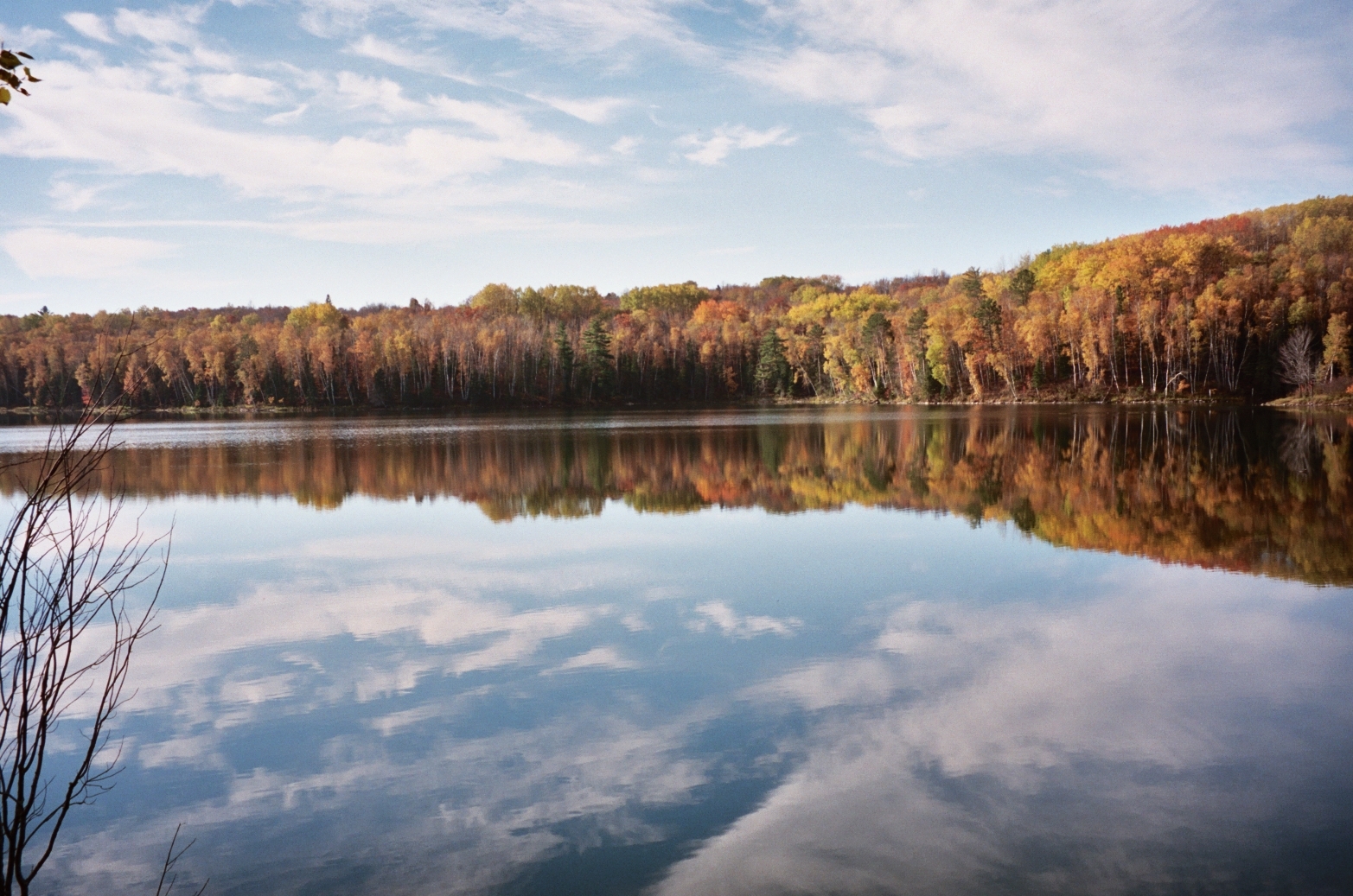
The glassy waters of Prairie Lake reflect fall colors, with cabin in the background on the Edge of the Wilderness.
Public Domain. Photo by Richard Faulkner
Download Original (1178 x 1726 pixels, 1172.8 MB)
-
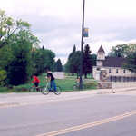
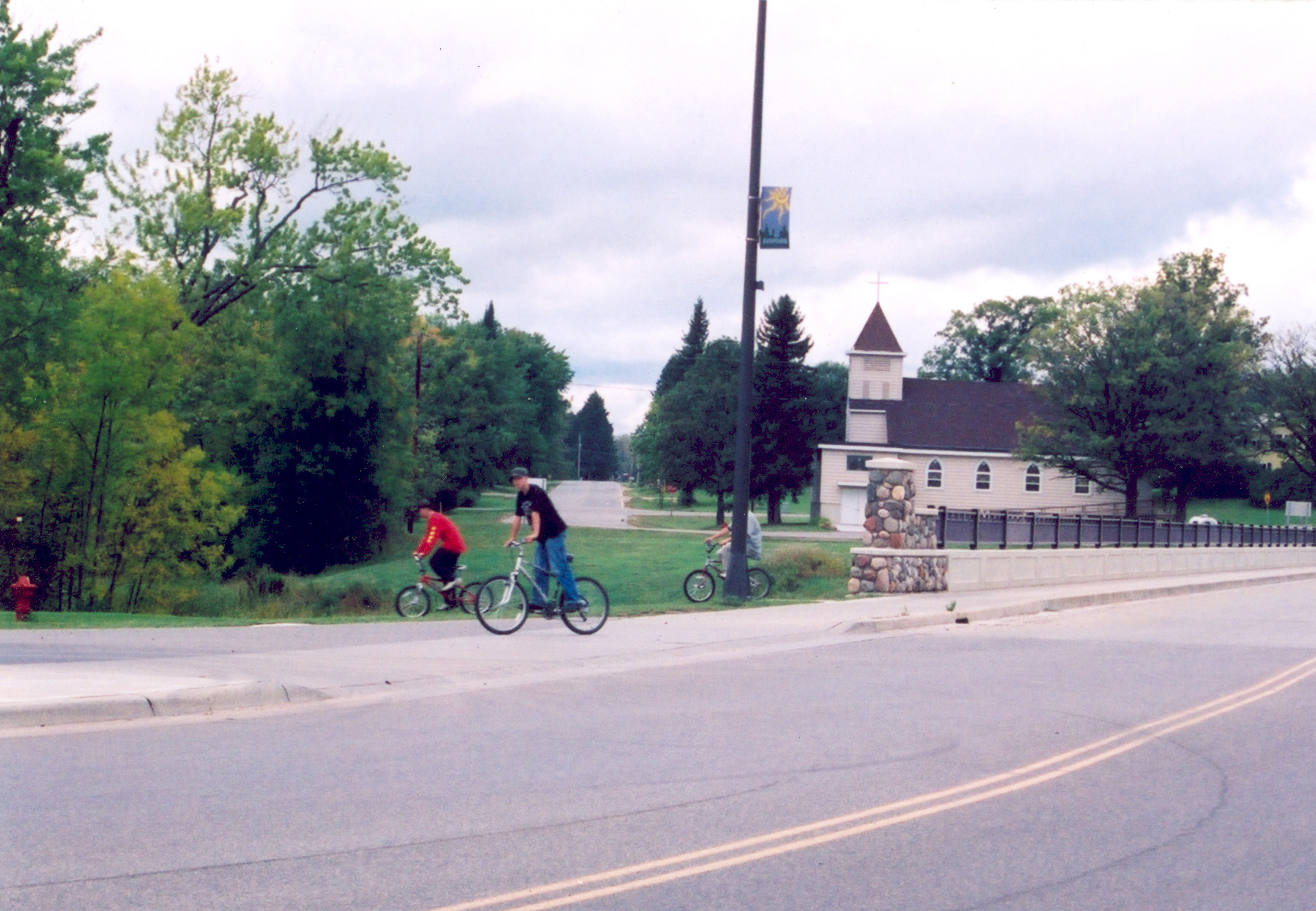
Young bikers enjoy a day in Bigfork on the Edge of the Wilderness Scenic Byway.
Public Domain. Photo by A. E. Crane
Download Original (3115 x 2157 pixels, 1684.5 MB)
-
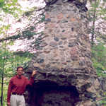
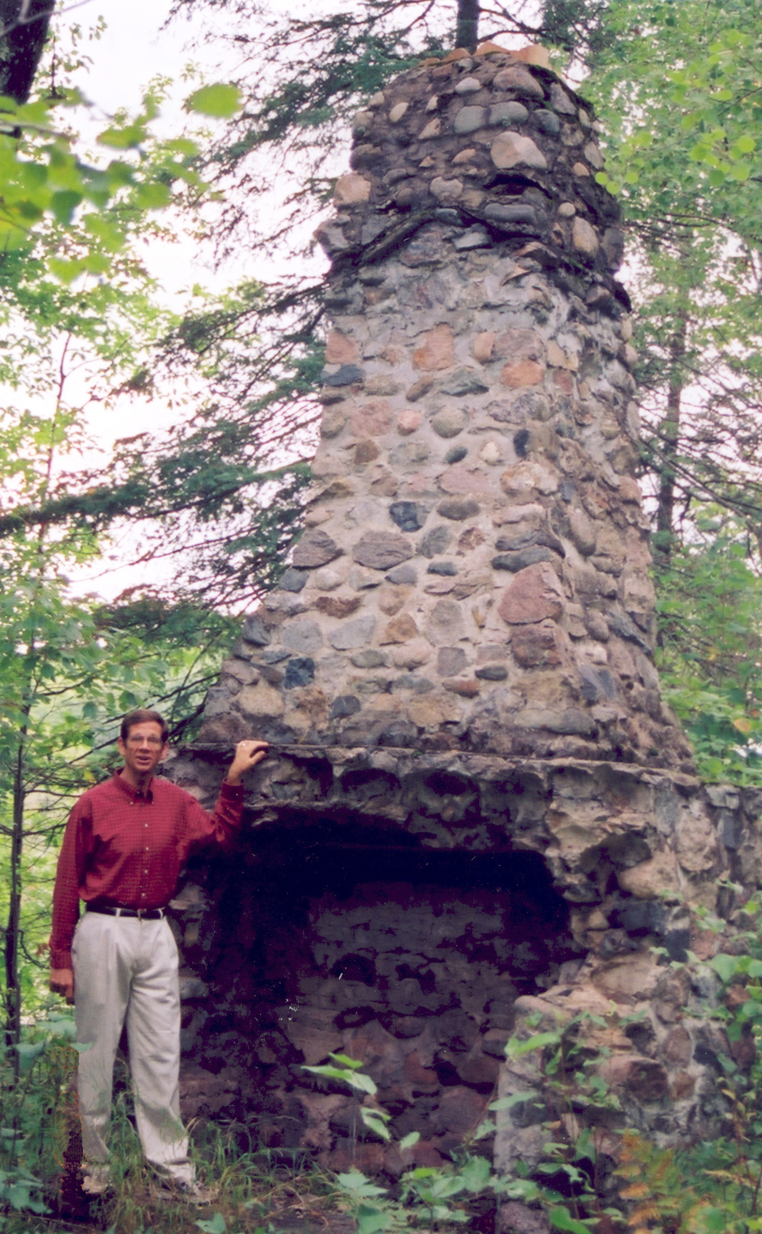
A traveler stands near the ruins of this chimney.
Public Domain. Photo by A. E. Crane
Download Original (1544 x 2500 pixels, 1210.3 MB)
-
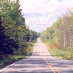
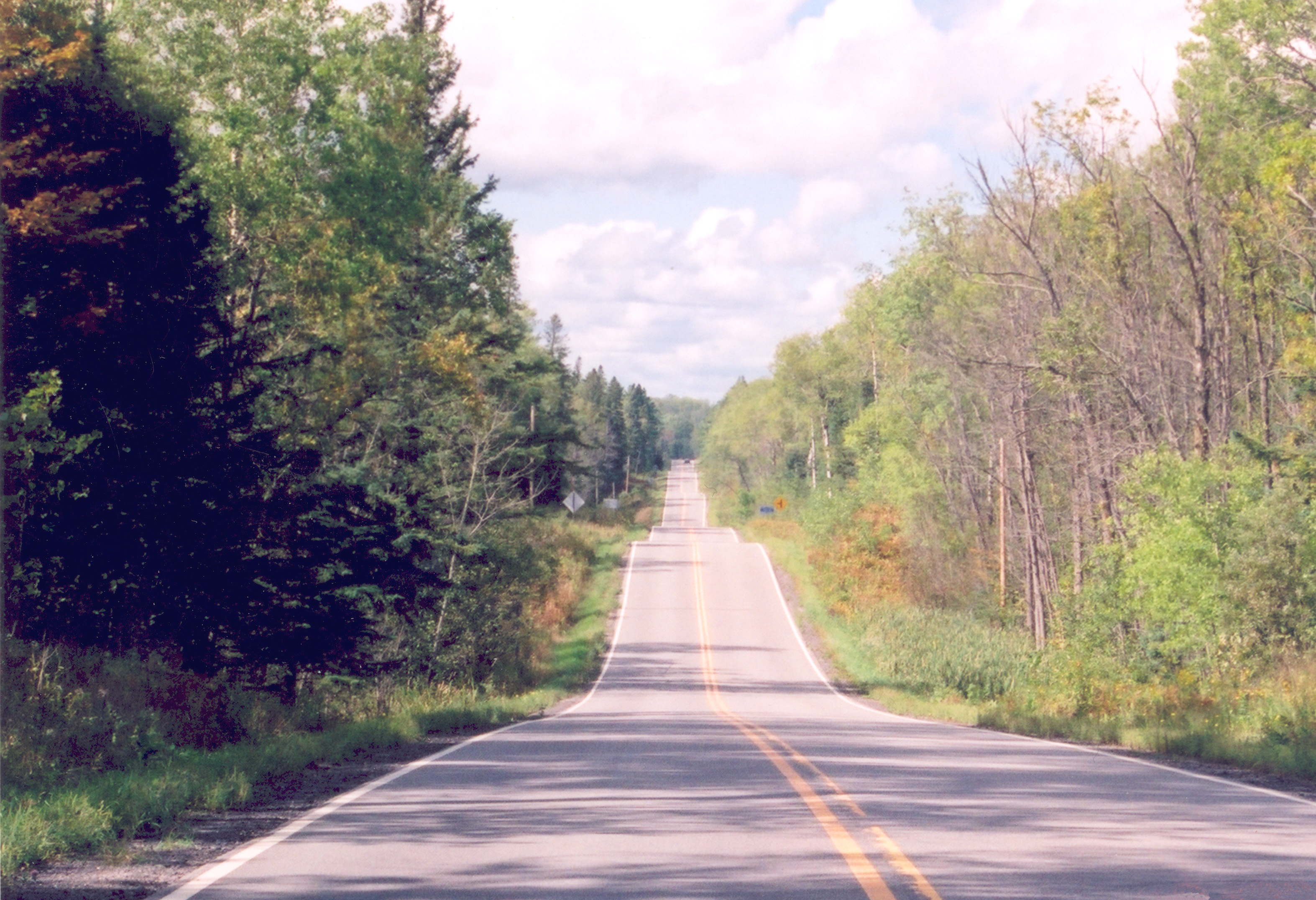
The Byway undulates along the natural curves and surface of the landscape.
Public Domain. Photo by A. E. Crane
Download Original (3147 x 2152 pixels, 2068.2 MB)
-
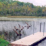
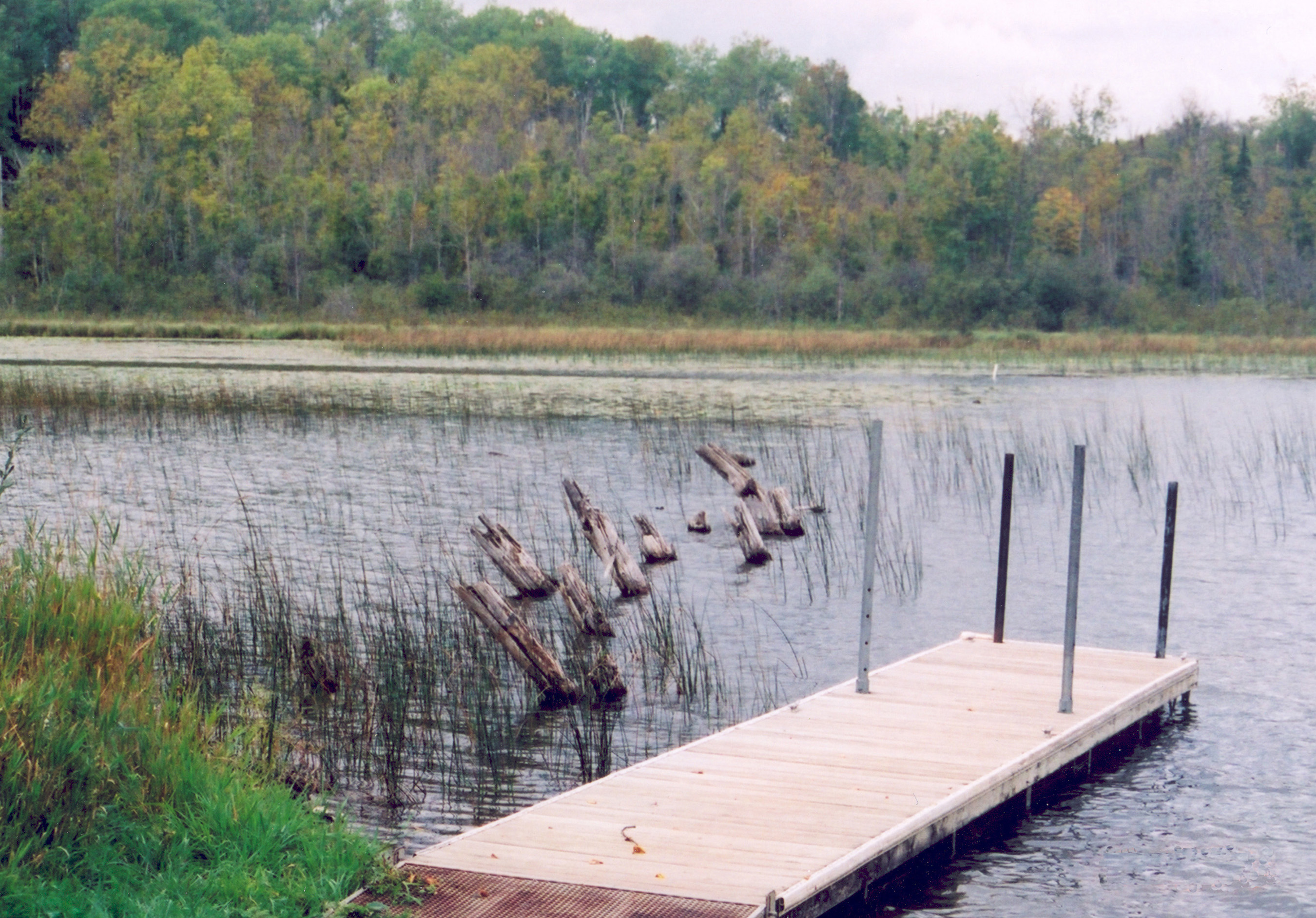
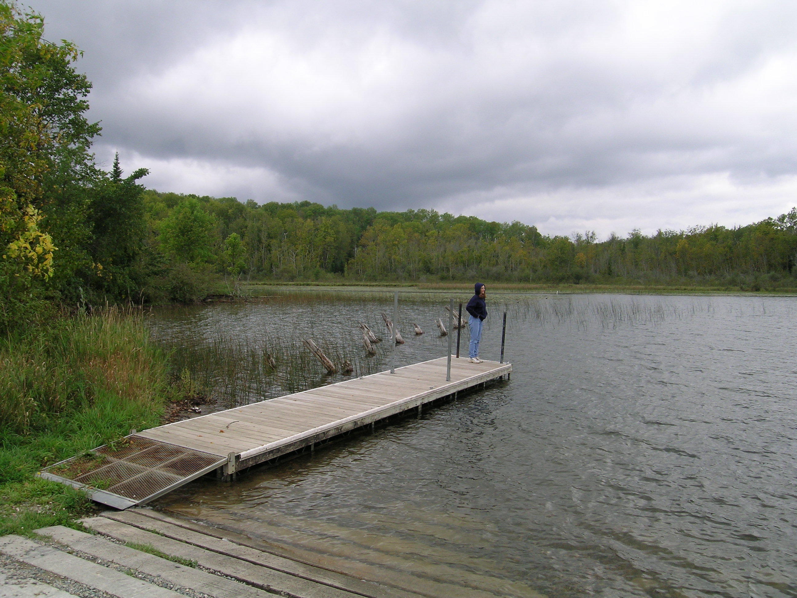
This dock at North Star Lake allows visitors to dip a fishing line into the water.
Public Domain. Photo by A. E. Crane
Download Original (2700 x 1883 pixels, 1331.2 MB)
-
Motorists enjoy the Fall Color Tour at the Chippewa National Forest.
Public Domain. Courtesy of Edge of the Wilderness Scenic Byway
Download Original (1170 x 1749 pixels, 1546.7 MB)
-
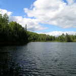
A slight breeze ripples the surface of Pughole Lake.
Public Domain. Courtesy of Edge of the Wilderness Scenic Byway
Download Original (1192 x 760 pixels, 617.7 KB)
-
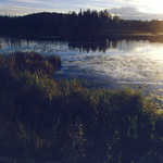
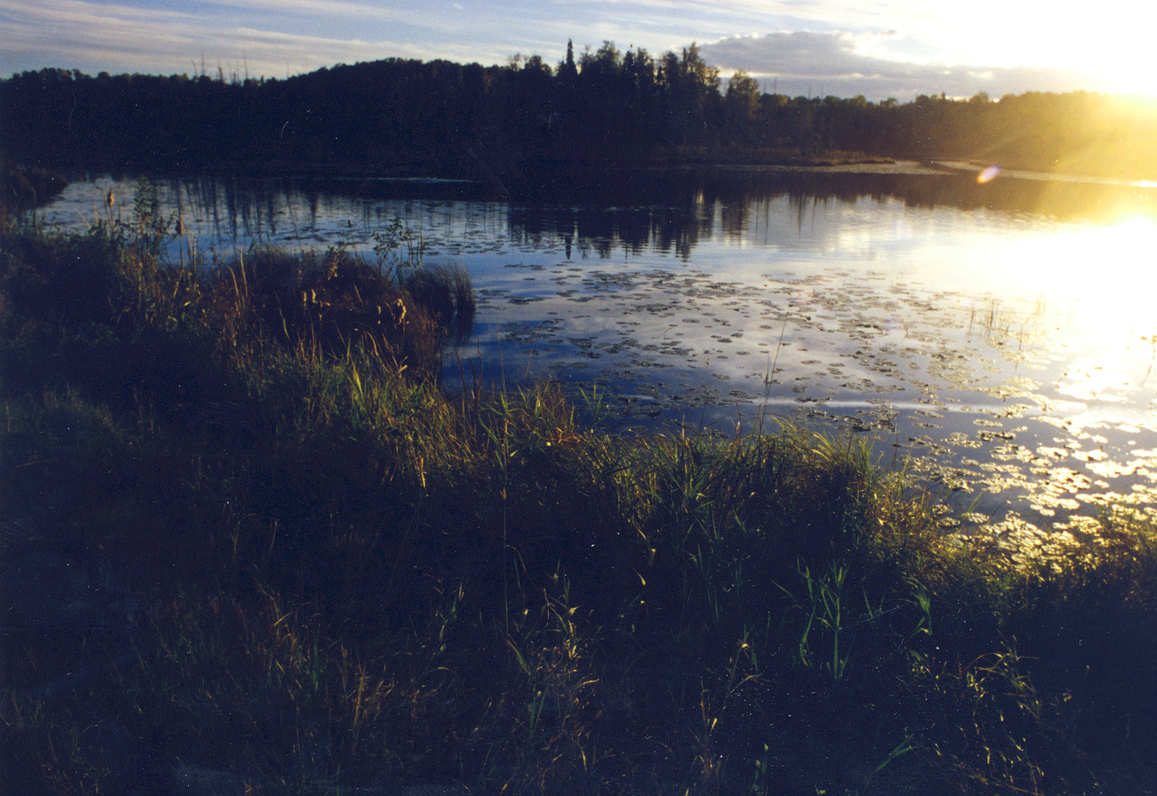
The setting sun reflects off the surface of Pughole Lake.
Public Domain. Courtesy of Edge of the Wilderness Scenic Byway
Download Original (1655 x 1139 pixels, 1014.6 MB)
-
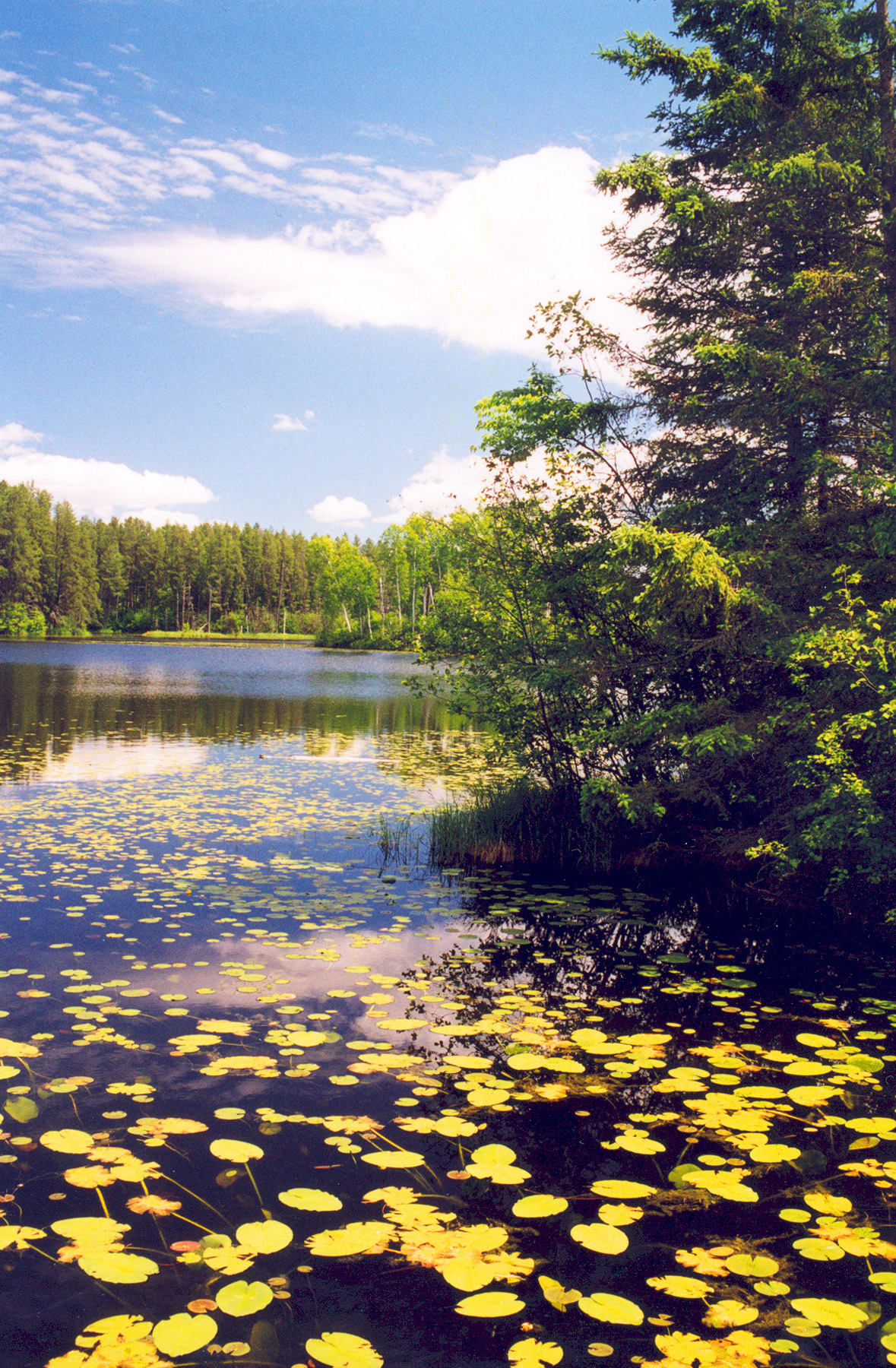
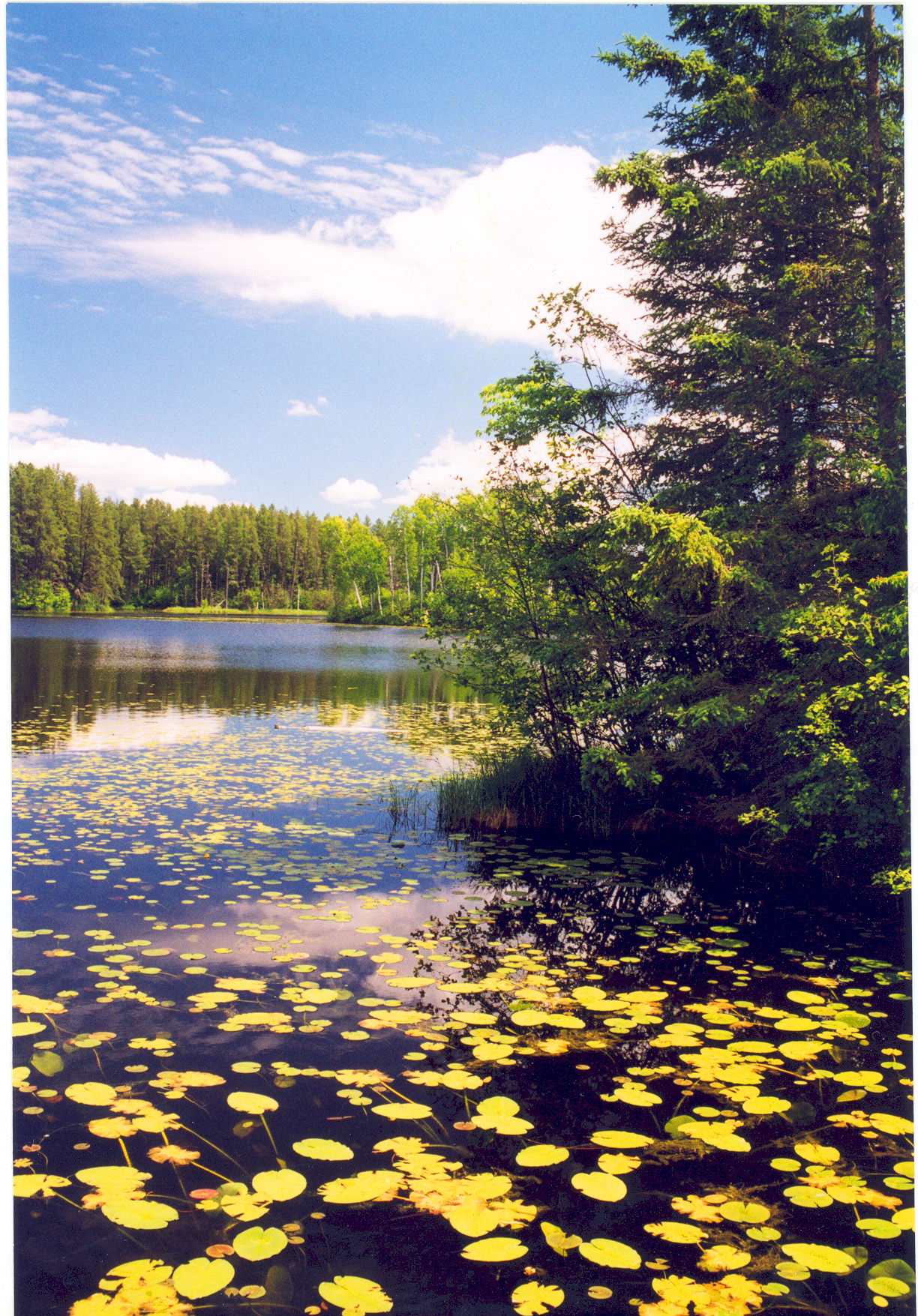
Lilypads occupy the surface of Pughole Lake.
Public Domain. Courtesy of Edge of the Wilderness Scenic Byway
Download Original (1192 x 764 pixels, 594.7 KB)
-
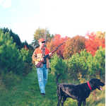
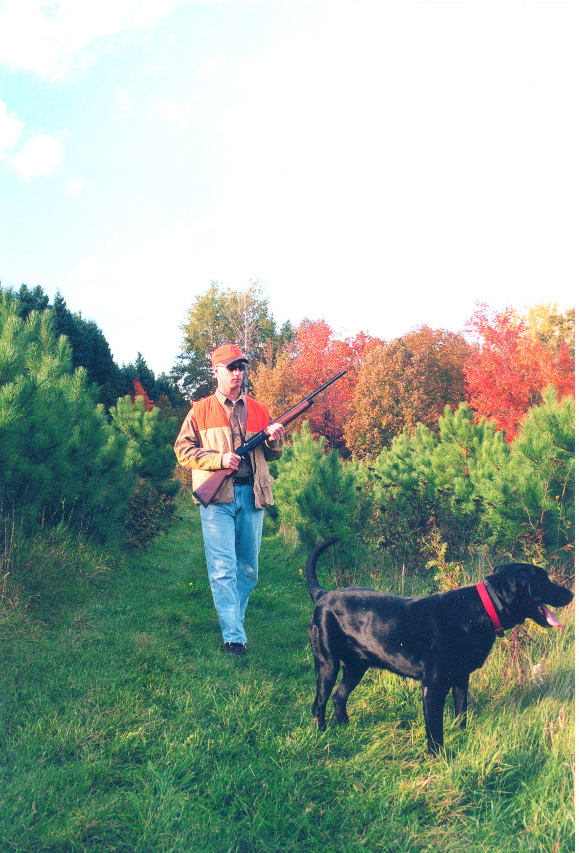
A hunter and his dog enjoy the season on the Edge of the Wilderness Scenic Byway.
Public Domain. Courtesy of Edge of the Wilderness Scenic Byway
Download Original (1184 x 1744 pixels, 1055.4 MB)
-
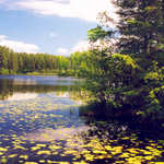
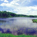
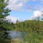
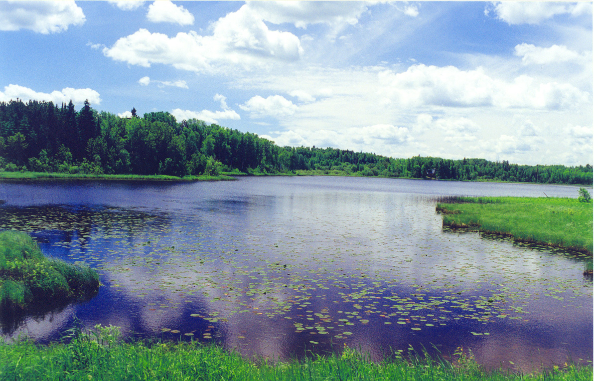
Lush forest and wild grass surround Pughole Lake.
Public Domain. Courtesy of Edge of the Wilderness Scenic Byway
Download Original (1179 x 1800 pixels, 1310.6 MB)
-
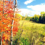
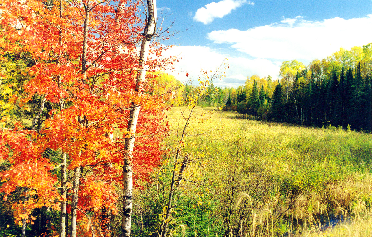
Orange folliage is contrasted by green grass and pines in early fall.
Public Domain. Courtesy of Edge of the Wilderness Scenic Byway
Download Original (1192 x 760 pixels, 1001.1 MB)
-
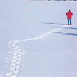
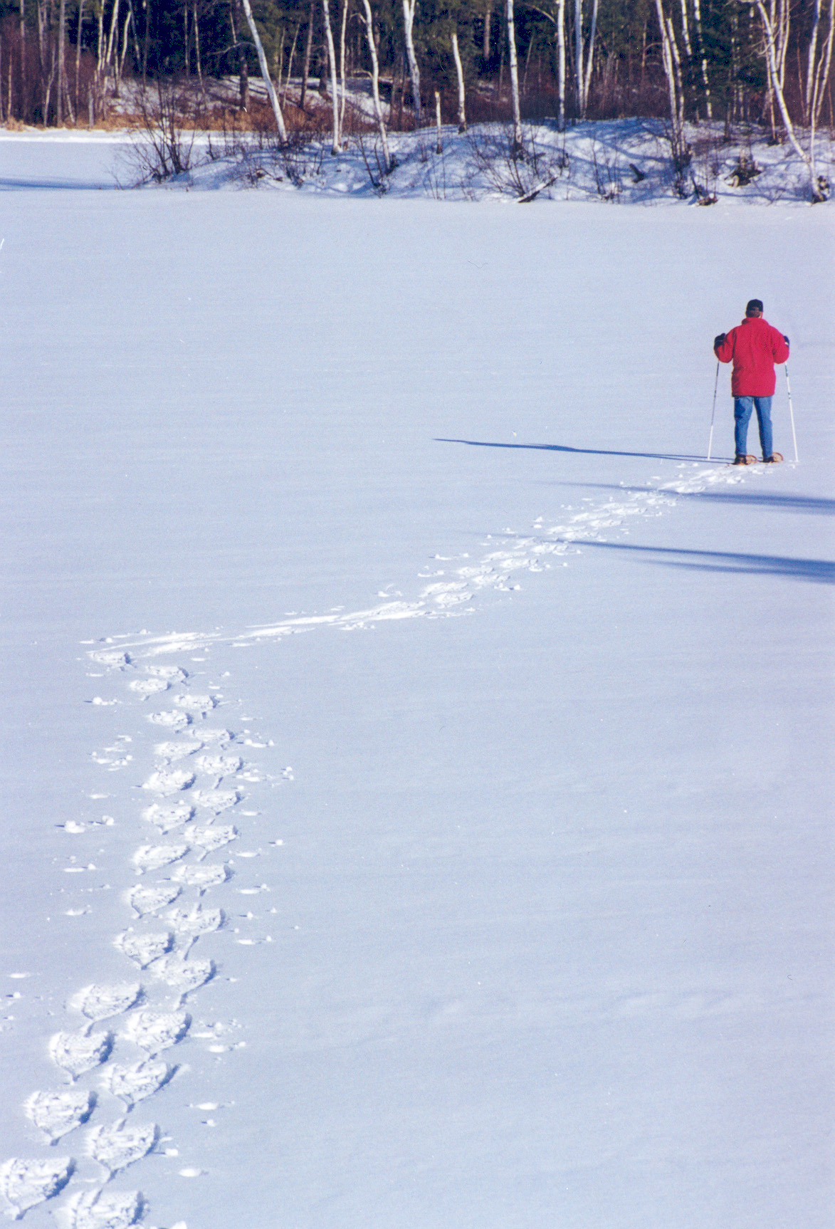
A snowshoer treks across the newly fallen snow on a frozen lake on Edge of the Wilderness Scenic Byway.
Public Domain. Courtesy of Edge of the Wilderness Scenic Byway
Download Original (1173 x 1726 pixels, 643.8 KB)
-
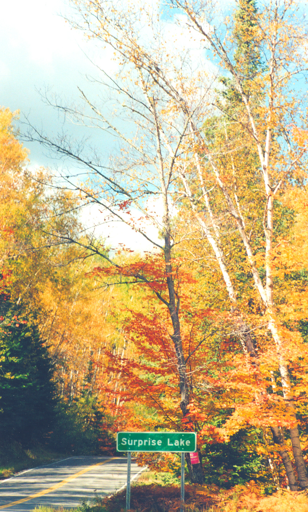
A sign marks Surprise Lake.
Public Domain. Courtesy of Edge of the Wilderness Scenic Byway
Download Original (1046 x 1738 pixels, 1148.5 MB)
-
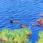
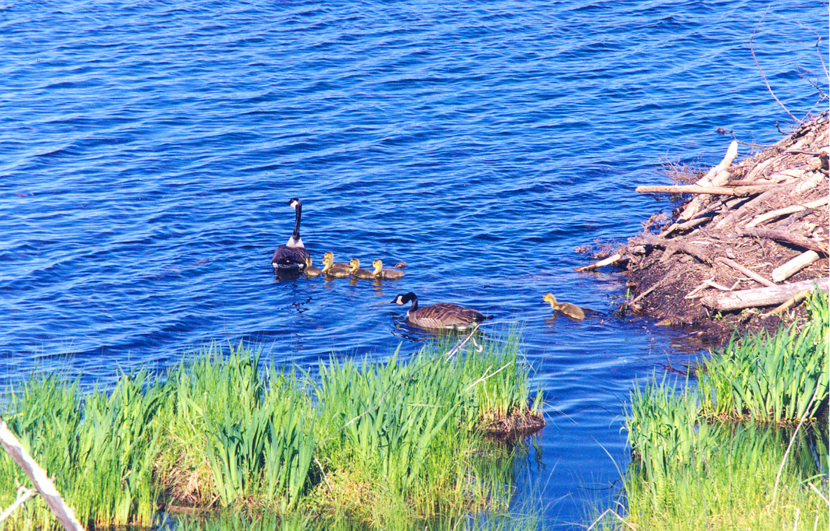
A family of ducks enjoy the Edge of the Wilderness Scenic Byway.
Public Domain. Courtesy of Edge of the Wilderness Scenic Byway
Download Original (1188 x 760 pixels, 870.9 KB)
-
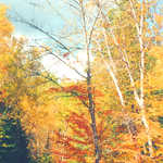
Trees turn vibrant fall hues in Northern Minnesota
Public Domain. Courtesy of Edge of the Wilderness Scenic Byway
Download Original (1667 x 1128 pixels, 1291.9 MB)
-
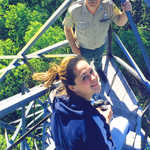
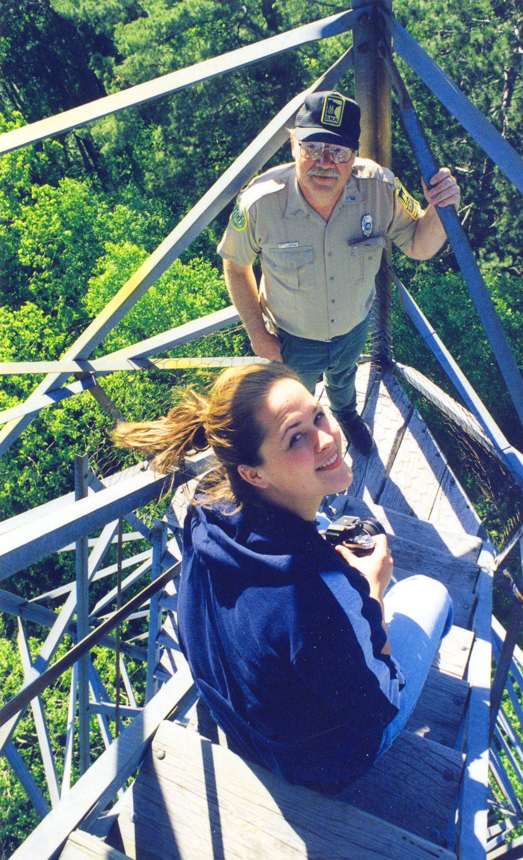
A Byway visitor meets with an employee from the Minnesota Department of Natural Resources.
Public Domain. Courtesy of Edge of the Wilderness Scenic Byway
Download Original (1058 x 1738 pixels, 1220.1 MB)
-
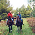
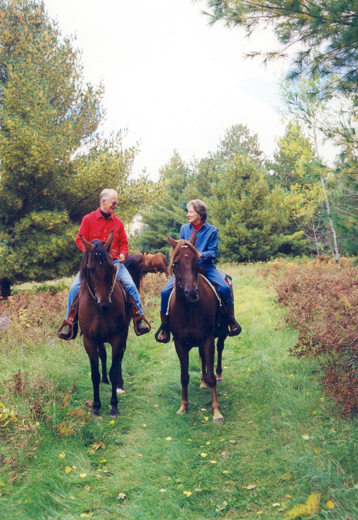
A couple enjoys the scenery of the Byway on horseback.
Public Domain. Courtesy of Edge of the Wilderness Scenic Byway
Download Original (1139 x 1655 pixels, 990.2 KB)
-
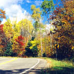
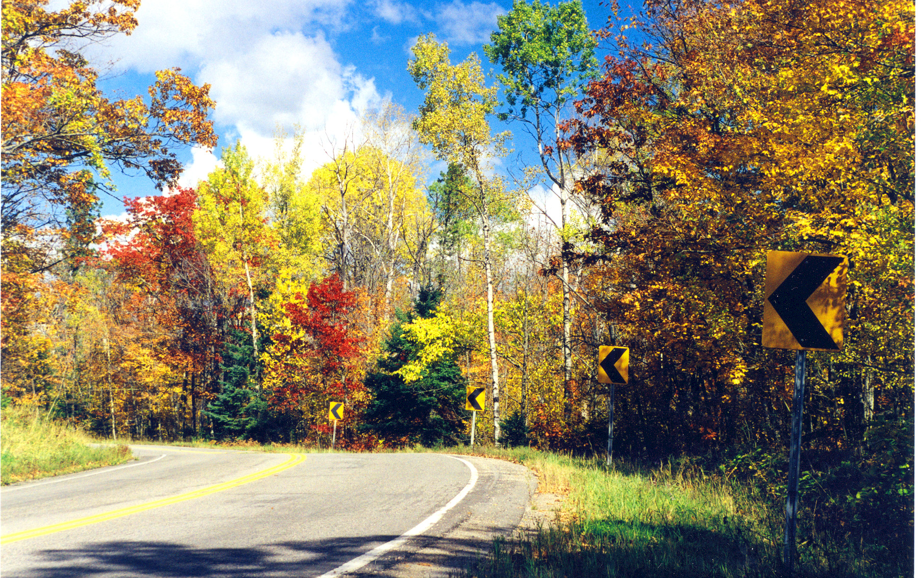
A curve in the road reveals more fall color around the bend.
Public Domain. Courtesy of Edge of the Wilderness Scenic Byway
Download Original (1806 x 1133 pixels, 1837.6 MB)
-
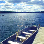
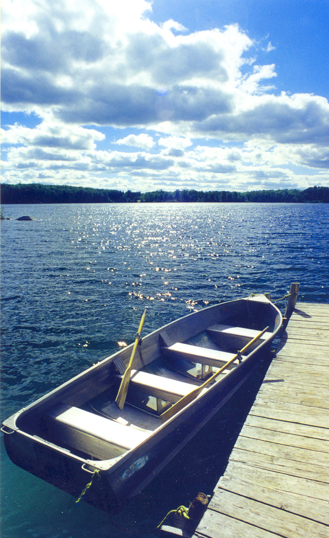
A rowboat drifts close to a dock at Pughole Lake.
Public Domain. Courtesy of Edge of the Wilderness Scenic Byway
Download Original (1058 x 1727 pixels, 1007.3 MB)
-
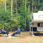
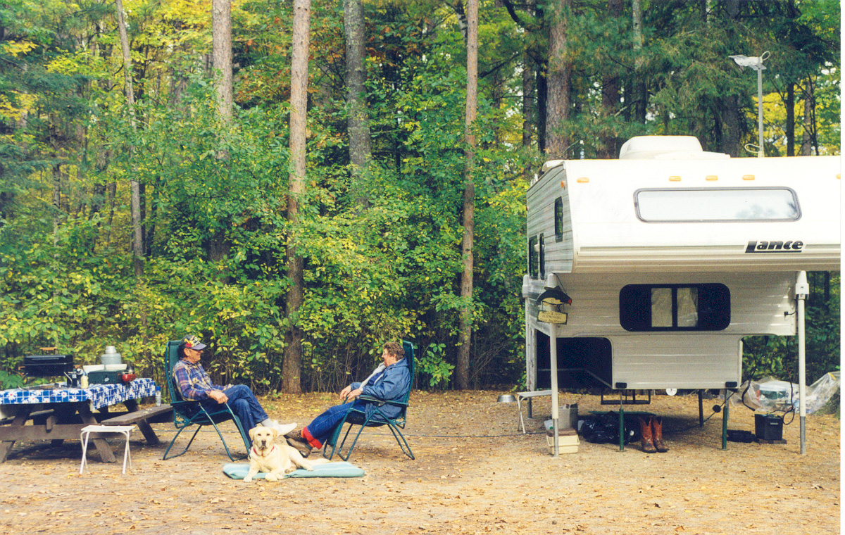
Campers relax at one of the many campsites located on the Edge of the Wilderness Scenic Byway.
Public Domain. Courtesy of Edge of the Wilderness Scenic Byway
Download Original (1200 x 760 pixels, 747.7 KB)
-
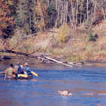
Visitors take advantage of the crisp fall weather along the Edge of the Wilderness Scenic Byway.
Public Domain. Courtesy of Edge of the Wilderness Scenic Byway
Download Original (1794 x 1133 pixels, 1131.5 MB)
-
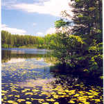
Lilypads float on the surface of Pughole Lake.
Public Domain. Courtesy of Edge of the Wilderness Scenic Byway
Download Original (1224 x 1755 pixels, 1503.6 MB)
-
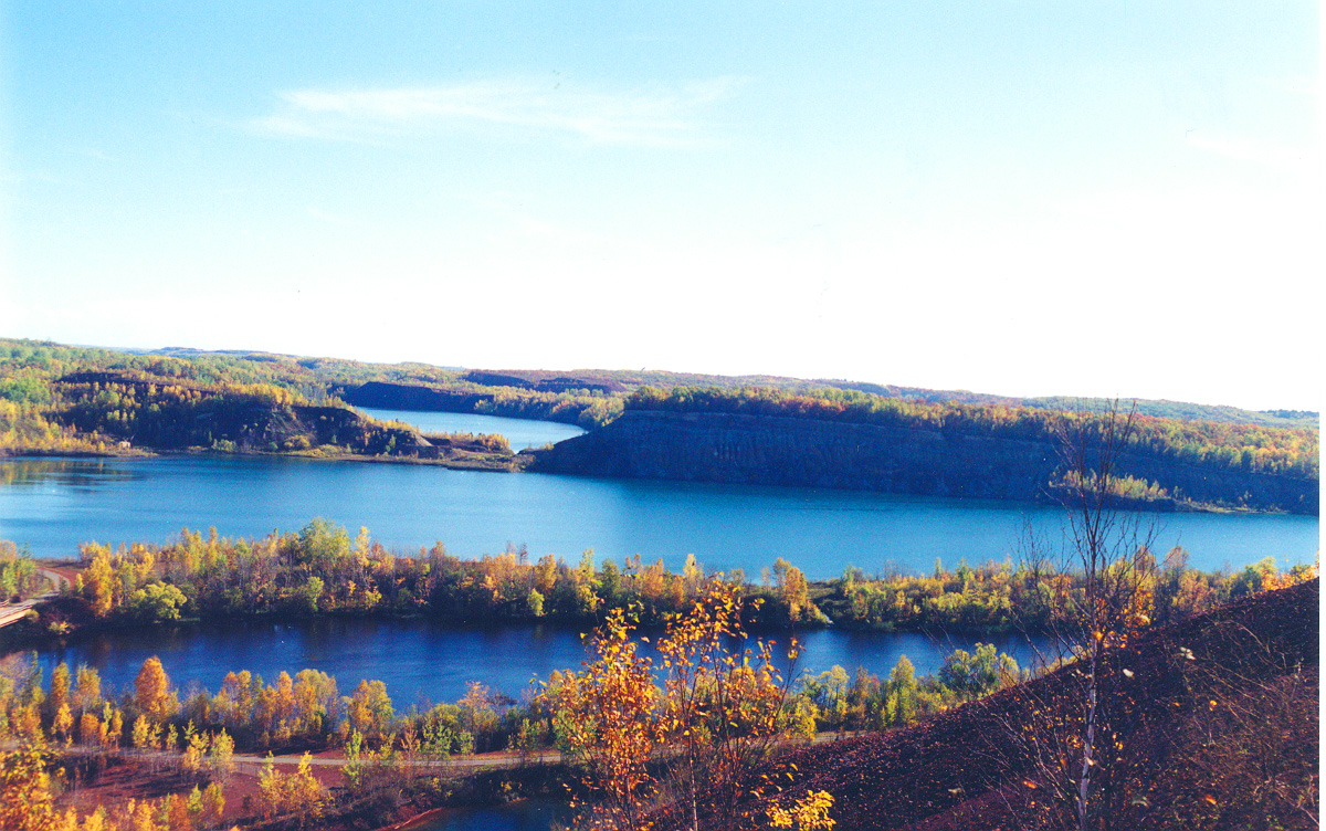
The Lind-Greenway Mine is a reminder of the area's economic history.
Public Domain. Courtesy of the Edge of the Wilderness Scenic Byway
Download Original (1200 x 752 pixels, 502.4 KB)
-
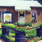
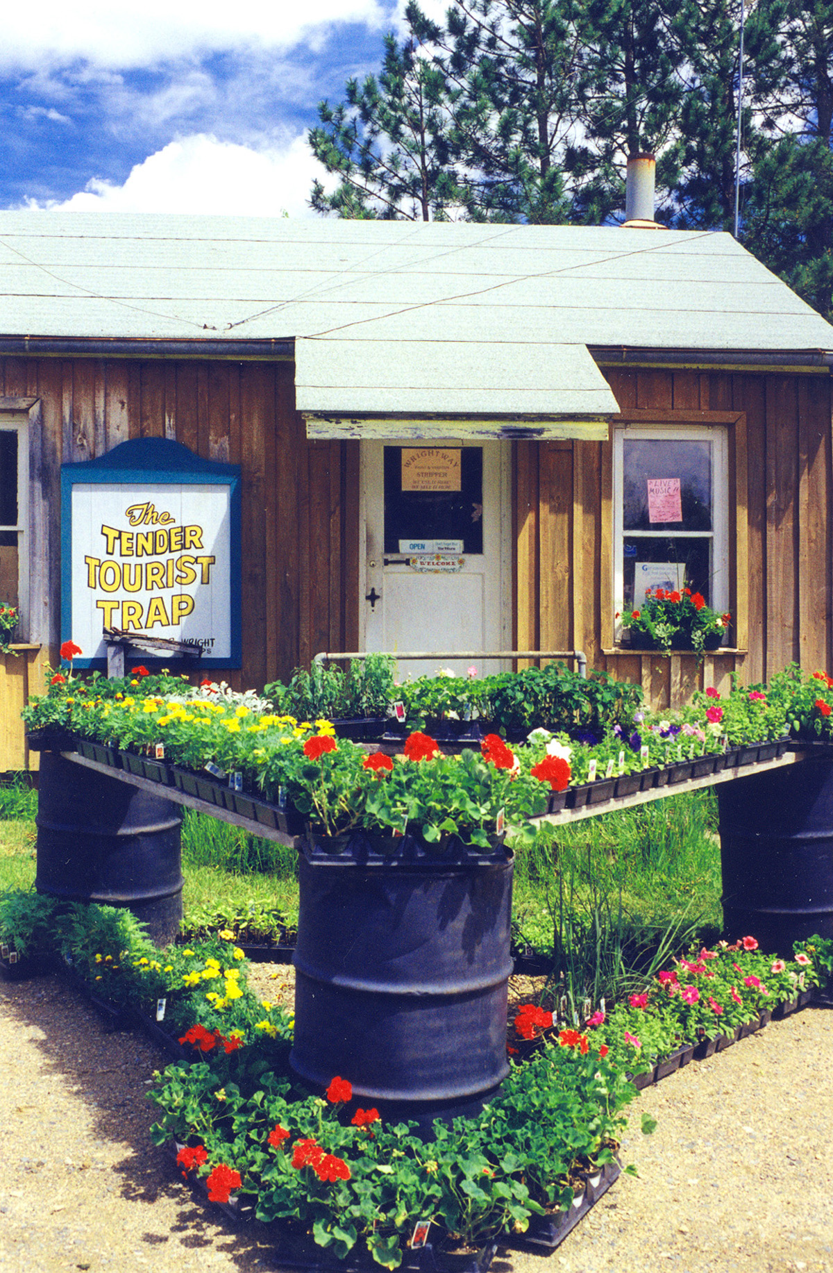
Flats of perennials greet visitors at the Tender Tourist Trap in Marcell, MN.
Public Domain. Courtesy of the Edge of the Wilderness Scenic Byway
Download Original (1200 x 1833 pixels, 1157.8 MB)
-
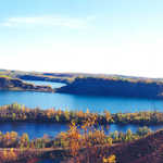
Vivid autumn colors are reflected on the surface of Prairie Lake.
Public Domain. Courtesy of the Edge of the Wilderness Scenic Byway
Download Original (1788 x 1139 pixels, 1361.0 MB)
-
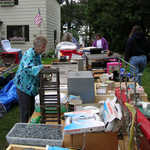
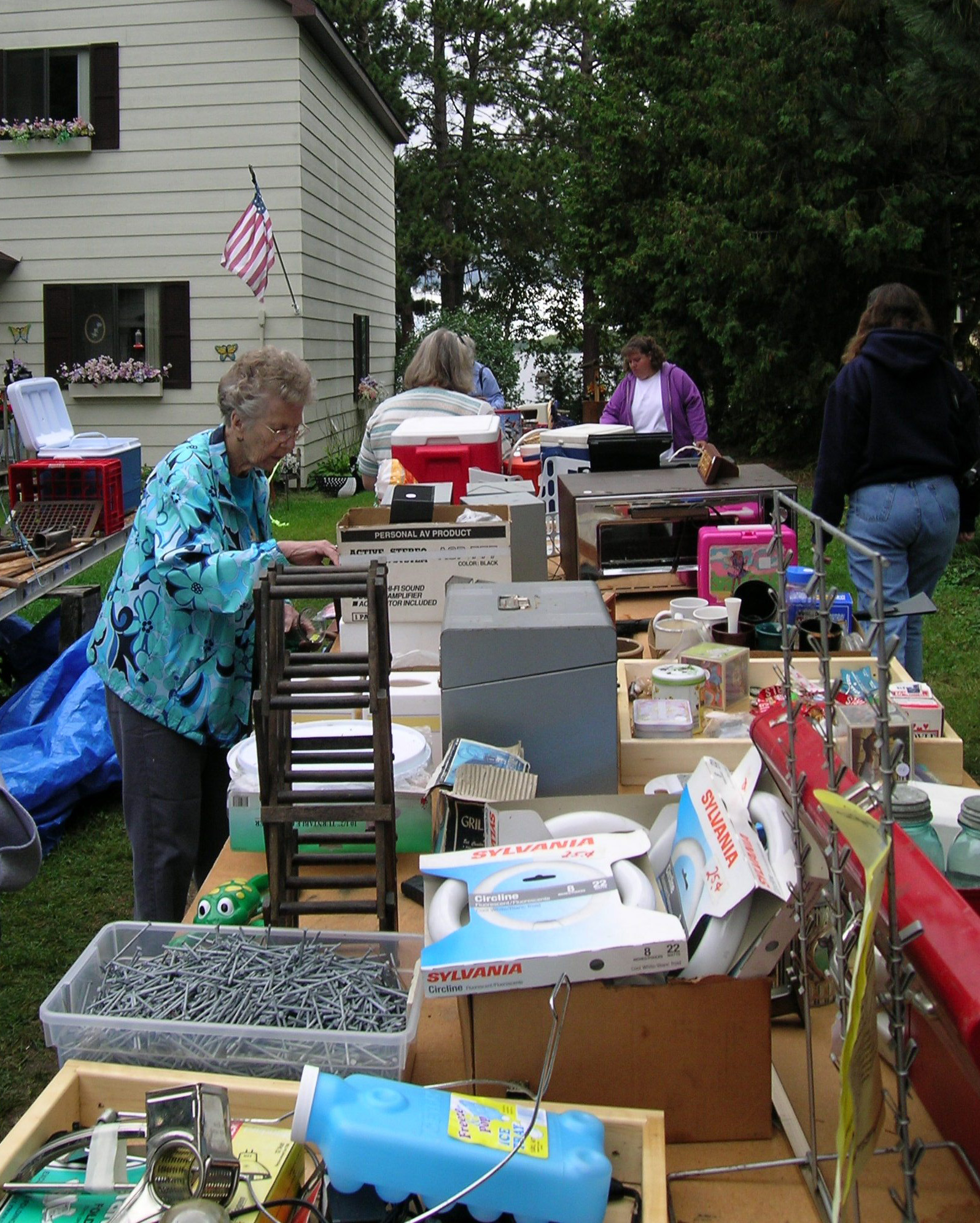
Folks check out the bargains at Edge of the Wilderness' Byway-long garage sale, because 'Bargains are Great on Hwy 38'.
Public Domain. Photo by S. Clyde
Download Original (1596 x 1992 pixels, 963.6 KB)
-
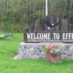
Giant mosquito (and welcome sign) welcomes byway travelers to Effie at the north entrance gateway to the Edge of the Wilderness.
Public Domain. Photo by S. Clyde
Download Original (2592 x 1944 pixels, 1125.0 MB)
-
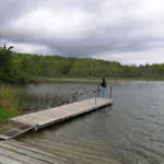
A visitor stands on the boat launch.
Public Domain. Photo by S. Clyde
Download Original (2592 x 1944 pixels, 934.8 KB)
-
Byway gateway welcomes travelers.
Public Domain. Photo by S. Clyde
Download Original (2592 x 1944 pixels, 1093.2 MB)
-
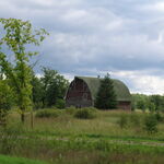
A big red barn sits in the background of this picturesque scene by the roadside of the Edge of the Wilderness Scenic Byway in Minnesota.
Public Domain. Photo by S. Clyde
Download Original (2592 x 1944 pixels, 926.5 KB)
-
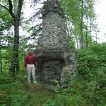
A Byway traveler stands next to an old chimney on the Edge of the Wilderness Scenic Byway.
Public Domain. Photo by S. Clyde
Download Original (1944 x 2592 pixels, 1014.3 MB)
-
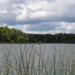
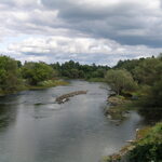
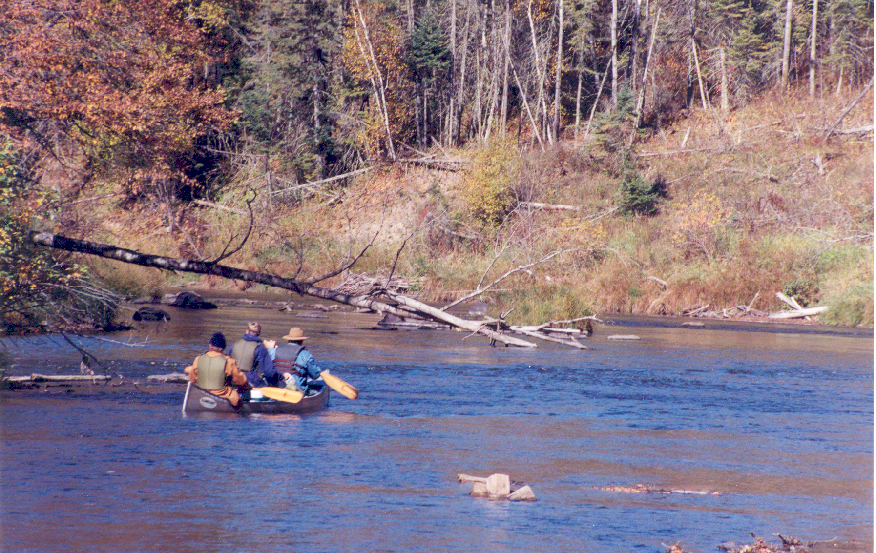
Some fishermen travel up the river in Bigfork.
Public Domain. Photo by S. Clyde
Download Original (2592 x 1944 pixels, 975.8 KB)
-
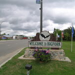
Sign welcomes out-of-towners to Bigfork.
Public Domain. Photo by S. Clyde
Download Original (2592 x 1944 pixels, 952.5 KB)
-
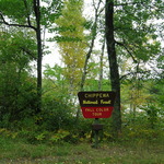
Signs like this mark the Fall Color Tour.
Public Domain. Photo by S. Clyde
Download Original (2592 x 1944 pixels, 1169.0 MB)
-
Fishermen motor up the river on a lovely fall day.
Public Domain. Photo by S. Clyde
Download Original (2592 x 1944 pixels, 963.9 KB)
-
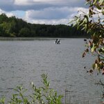
Fishermen take advantage of a beautiful day on North Star Lake.
Public Domain. Photo by S. Clyde
Download Original (1944 x 2592 pixels, 883.0 KB)
-
This gateway in Bigfork marks the beginning of the Byway.
Public Domain. Photo by S. Clyde
Download Original (2592 x 1944 pixels, 935.1 KB)
-
Travelers fish from a rowboat on North Star Lake.
Public Domain. Photo by S. Clyde
Download Original (2592 x 1944 pixels, 945.8 KB)
-
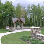
This stately gate provides access to the Byway.
Public Domain. Photo by S. Clyde
Download Original (2592 x 1944 pixels, 1069.2 MB)
-
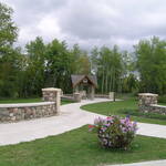
This park and gate are located at the beginning of the Edge of the Wilderness Scenic Byway.
Public Domain. Photo by S. Clyde
Download Original (2592 x 1944 pixels, 1015.2 MB)
-
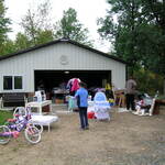
Shoppers hunt for bargains at a garage sale.
Public Domain. Photo by S. Clyde
Download Original (2592 x 1944 pixels, 1012.7 MB)
-
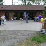
Garage sales bring the community together.
Public Domain. Photo by S. Clyde
Download Original (2592 x 1944 pixels, 1026.8 MB)
-
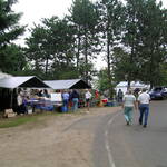
Bargain shoppers find treasures along the Edge of the Wilderness Scenic Byway.
Public Domain. Photo by S. Clyde
Download Original (2592 x 1944 pixels, 1020.0 MB)
-
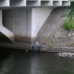
A father and son fish near a bridge on the Mississippi.
Public Domain. Photo by S. Clyde
Download Original (2592 x 1944 pixels, 994.9 KB)
-
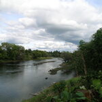
Clouds float by on a beautiful day on the Mississippi.
Public Domain. Photo by S. Clyde
Download Original (2592 x 1944 pixels, 899.1 KB)
-
Dense foliage lines the Mississippi River.
Public Domain. Photo by S. Clyde
Download Original (2592 x 1944 pixels, 942.2 KB)
-
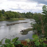
The Mississippi River glistens in the afternoon sunlight.
Public Domain. Photo by S. Clyde
Download Original (2592 x 1944 pixels, 965.4 KB)
-
This lake is located behind the Ranger Station in Marcell.
Public Domain. Photo by S. Clyde
Download Original (2592 x 1944 pixels, 1030.5 MB)
-
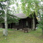
A log building sits nestled in the trees near the ranger station in Marcell, MN.
Public Domain. Photo by S. Clyde
Download Original (2592 x 1944 pixels, 1136.6 MB)
-
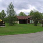
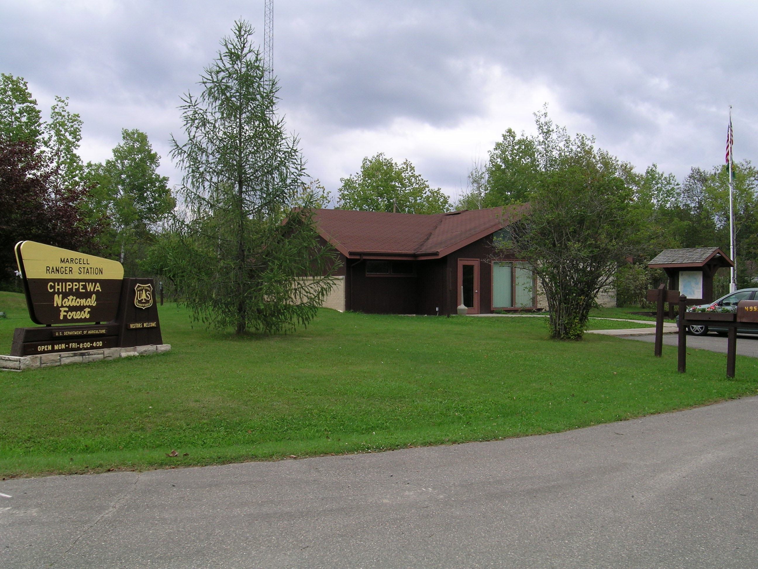
This ranger station in Marcell is located in the Chippewa National Forest.
Public Domain. Photo by S. Clyde
Download Original (2592 x 1944 pixels, 1019.5 MB)
-
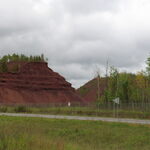
Relics of the Lind-Greenway Mine are still visible.
Public Domain. Photo by S. Clyde
Download Original (2592 x 1944 pixels, 918.0 KB)
-
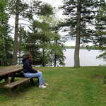
A visitor relaxes at a picnic bench at the Marcell Ranger Station.
Public Domain. Photo by S. Clyde
Download Original (2592 x 1944 pixels, 1140.8 MB)
-
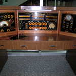
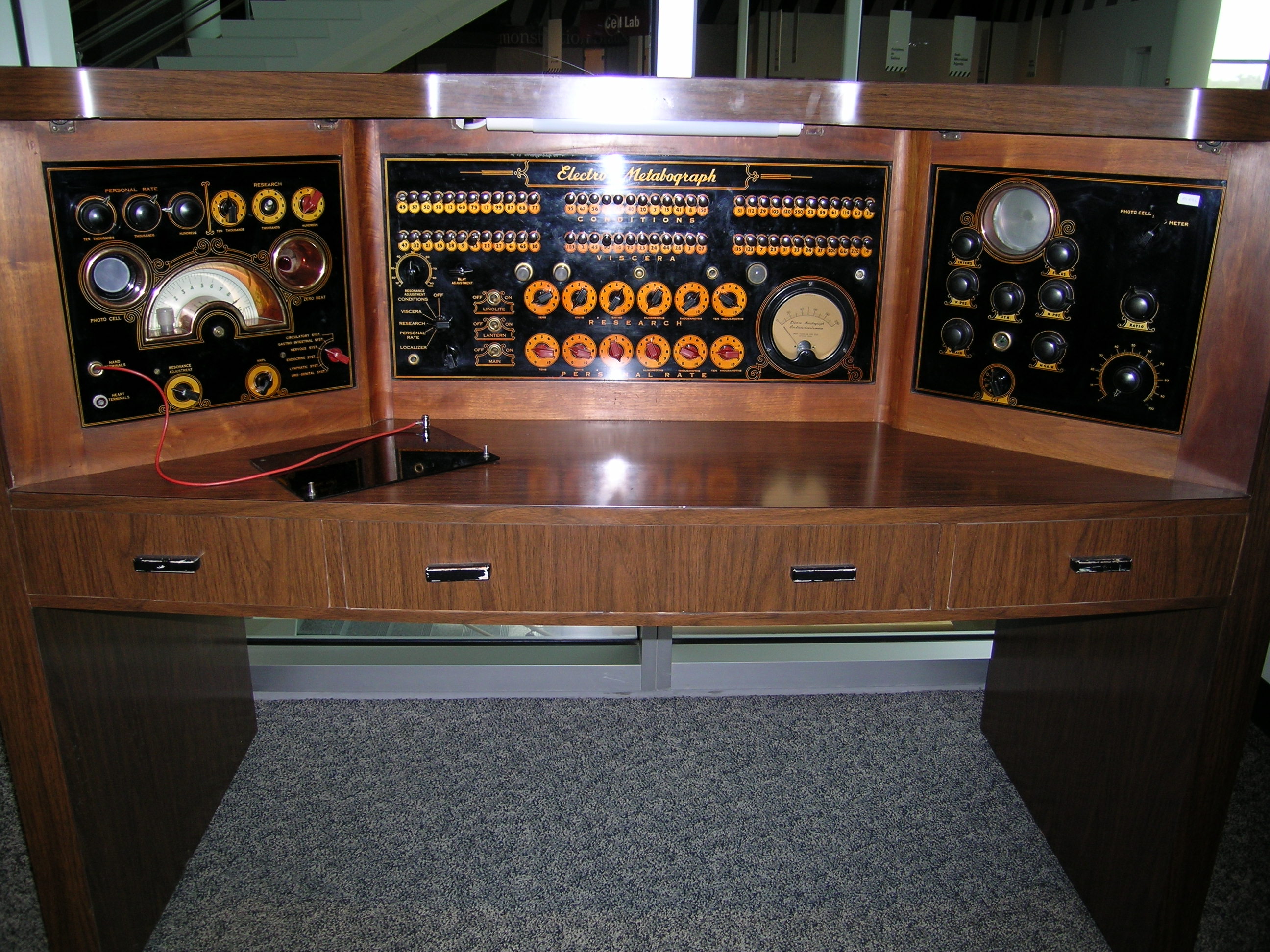
This impressive-looking but completely useless contraption is part of the "Quackery Hall of Fame" in the Science Museum in St. Paul, Minnesota.
Public Domain. Photo by S. Clyde
Download Original (2592 x 1944 pixels, 1048.1 MB)
-
The Edge of the Wilderness Scenic Byway curves through the Chippewa National Forest.
Public Domain. Photo by S. Clyde
Download Original (2592 x 1944 pixels, 1074.0 MB)
-
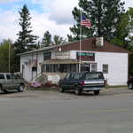
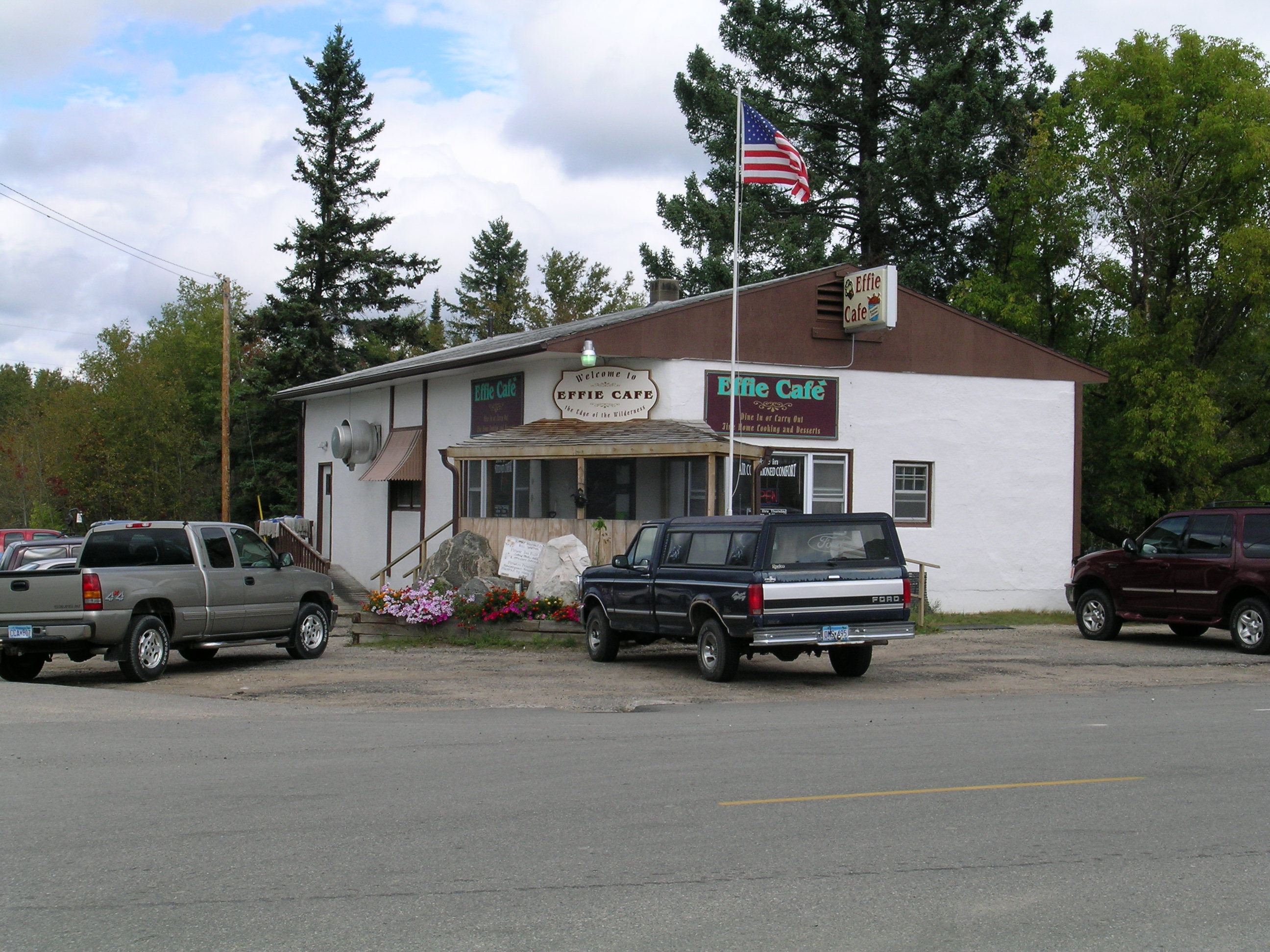
Locals meet at a small cafe in Effie, Minnesota.
Public Domain. Photo by S. Clyde
Download Original (2592 x 1944 pixels, 978.0 KB)
-
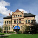
The Old Central School offers classes in floral design and stained glass among others, in the many shops now housed inside this school converted to a mall and civic center.
Public Domain. Photo by S. Clyde
Download Original (2592 x 1944 pixels, 988.8 KB)
-
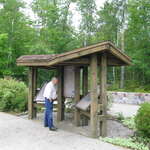
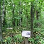
Visitors read about the Laurentian Divide at an informative kiosk at the rest area.
Public Domain. Photo by S. Clyde
Download Original (2592 x 1944 pixels, 1115.9 MB)
-
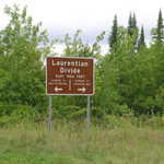
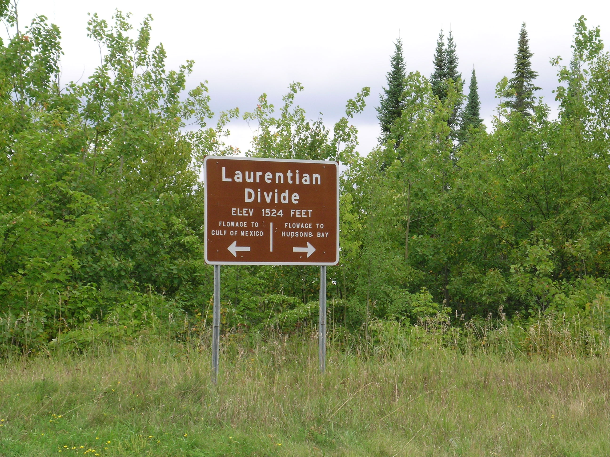
This sign visible from the roadside at the turnoff to the rest area marks the Laurentian Divide.
Public Domain. Photo by S. Clyde
Download Original (2592 x 1944 pixels, 1054.9 MB)
-
This sign is on a small interpretive trail at the Laurentian Divide rest area. However, it sure doesn't look like much of an "overlook" to me!
Public Domain. Photo by S. Clyde
Download Original (1944 x 2592 pixels, 1019.3 MB)
-
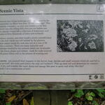
This sign at the "Scenic Overlook" point on the interpretive loop trail at the rest area explains to visitors the history and features of the Laurentian Divide.
Public Domain. Photo by S. Clyde
Download Original (2592 x 1944 pixels, 959.2 KB)
-
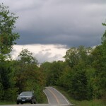
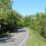
This view of the road near the Laurentian Divide is typical of the Edge of the Wilderness Scenic Byway.
Public Domain. Photo by S. Clyde
Download Original (1944 x 2592 pixels, 832.9 KB)
-
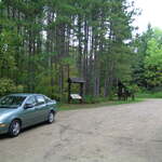
A car parks by the northern trail head in Suomi Hills.
Public Domain. Photo by S. Clyde
Download Original (2592 x 1944 pixels, 1063.3 MB)
-
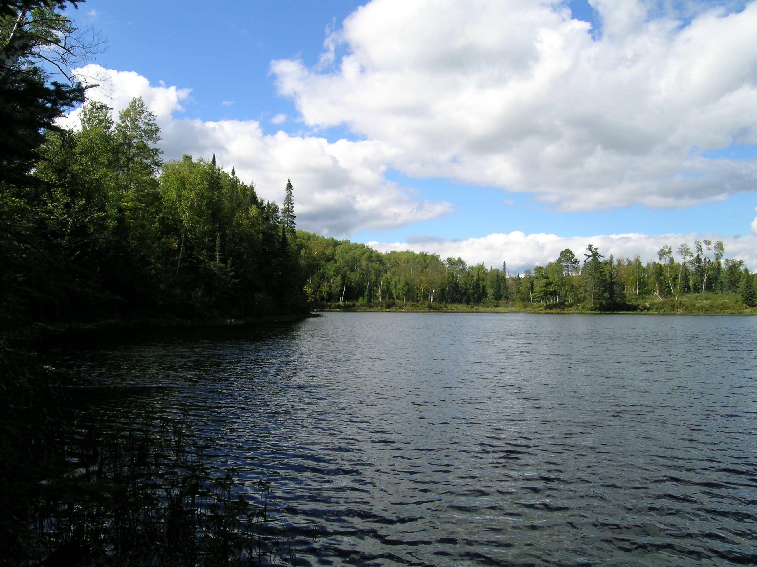
The surface of Surprise Lake ripples slightly.
Public Domain. Photo by S. Clyde
Download Original (2592 x 1944 pixels, 952.9 KB)
-
The trees along Surprise Lake extend all the way to the water.
Public Domain. Photo by S. Clyde
Download Original (2592 x 1944 pixels, 915.3 KB)
-
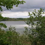
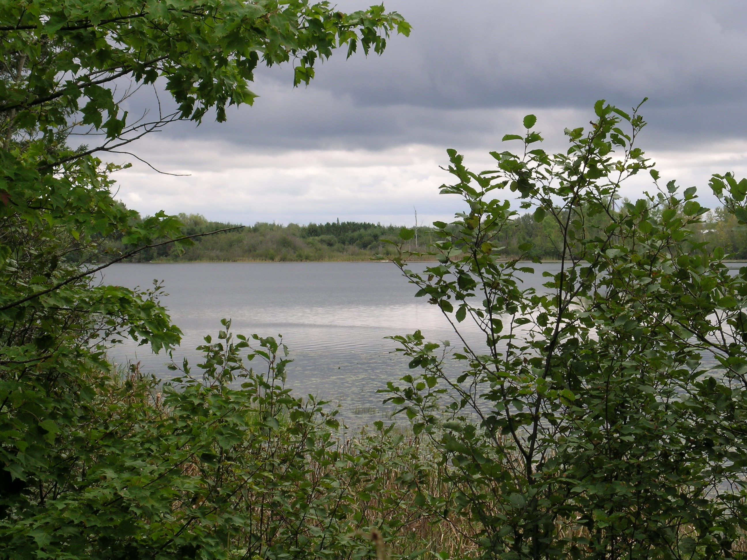
A glimpse of the lake can be seen through the trees.
Public Domain. Photo by S. Clyde
Download Original (2592 x 1944 pixels, 1035.5 MB)
-
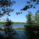
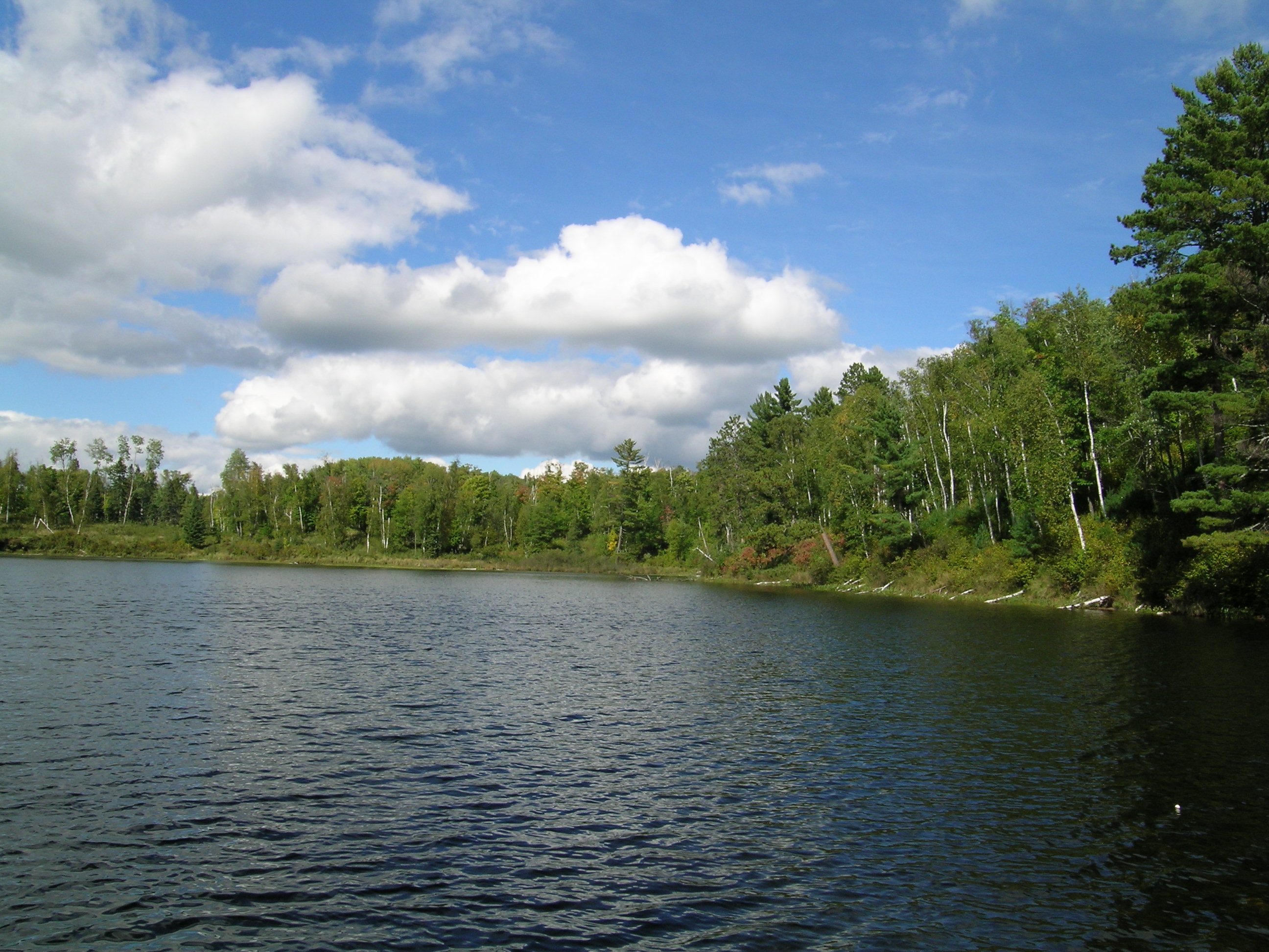
Foliage frames this sunny view of Pughole Lake.
Public Domain. Photo by S. Clyde
Download Original (2592 x 1944 pixels, 1041.4 MB)
-
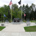
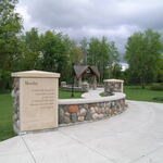
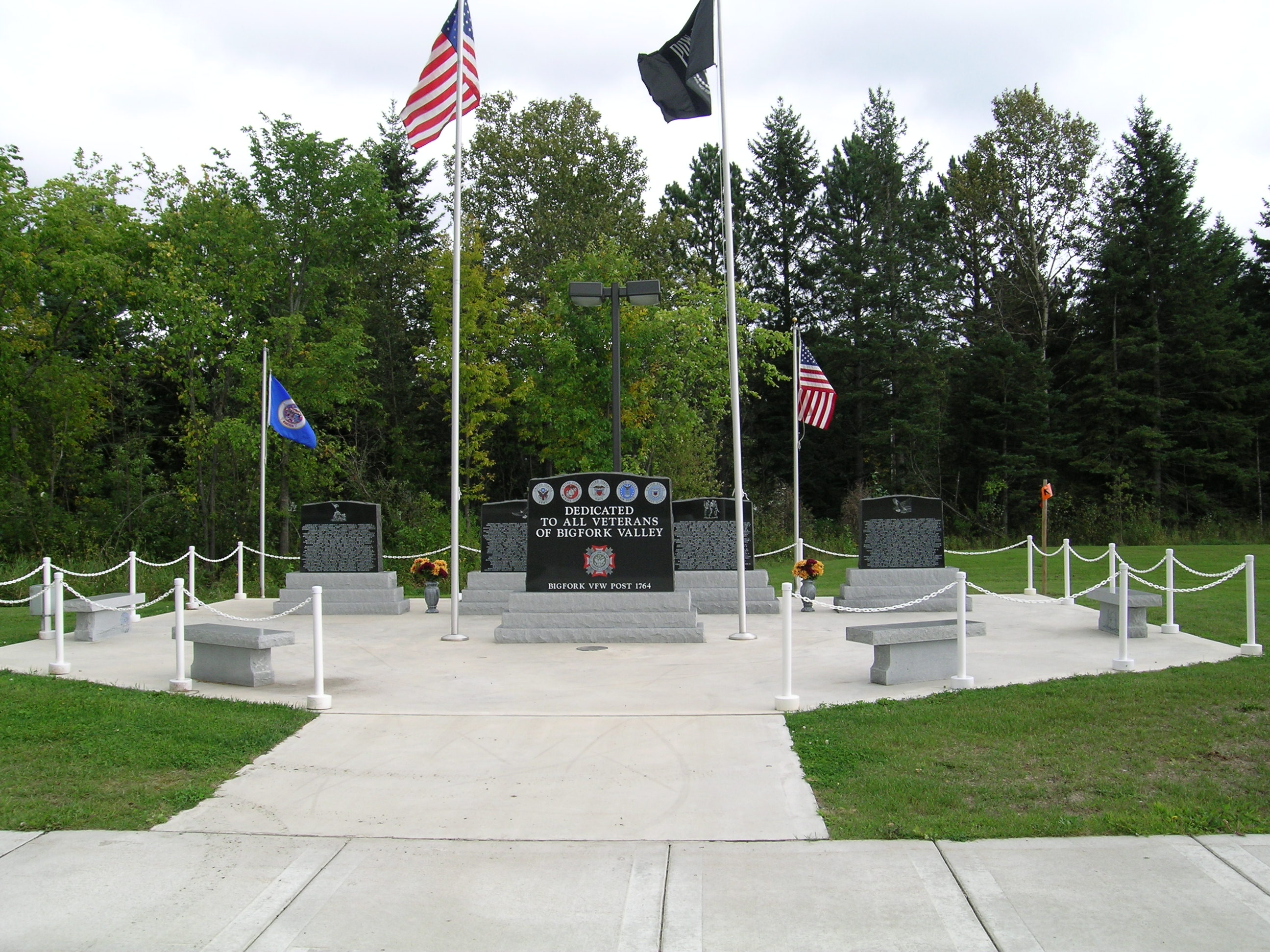
This memorial in Big Fork pays tribute to veterans of past wars.
Public Domain. Photo by S. Clyde
Download Original (2592 x 1944 pixels, 1022.1 MB)
-
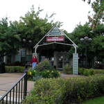
A visitor finds some useful information about Grand Rapids at this Visitor Center built in a restored train depot near the center of town, and right off of Hwy 38.
Public Domain. Photo by S. Clyde
Download Original (2592 x 1944 pixels, 1046.4 MB)
-
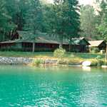
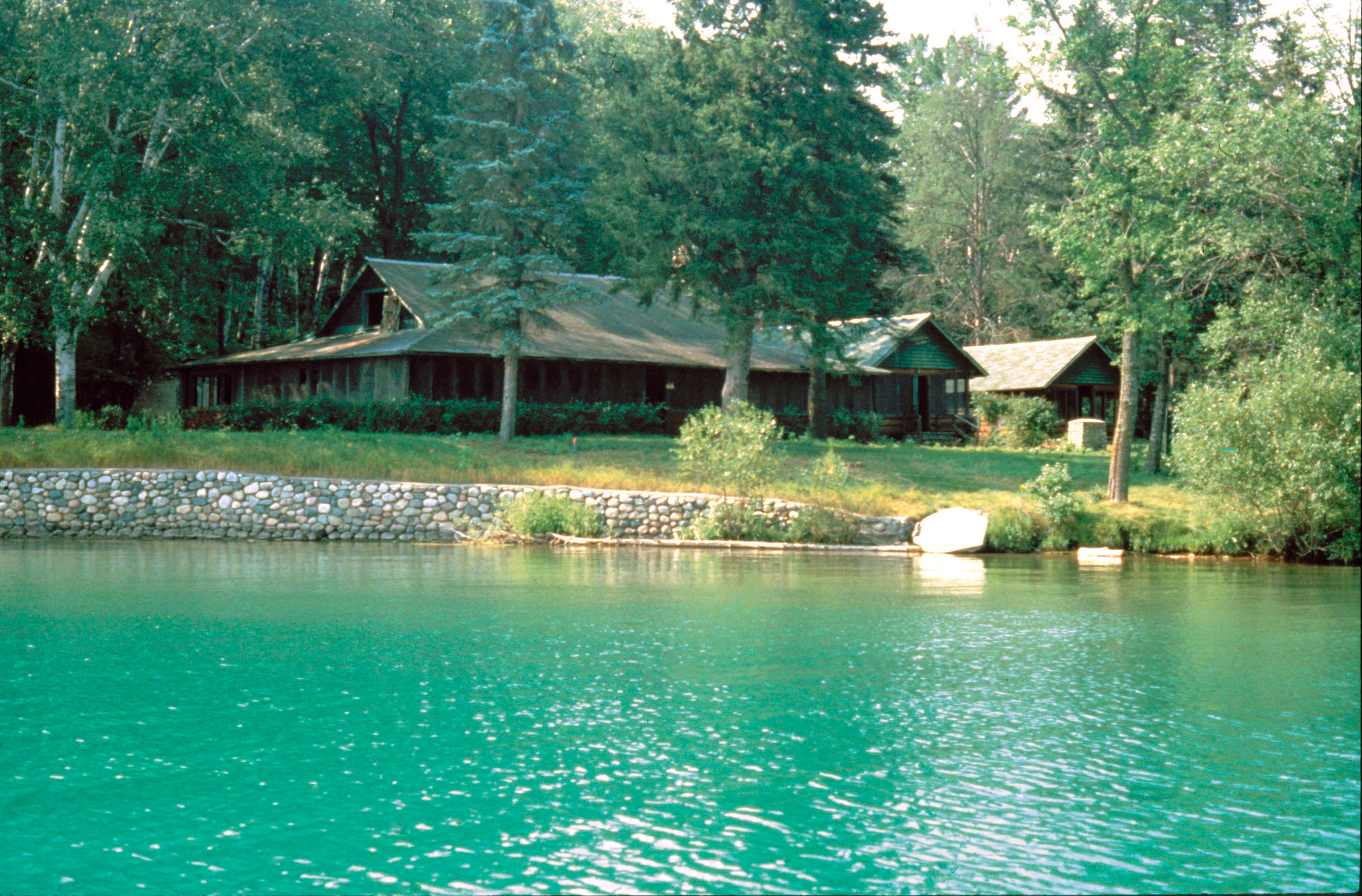
Joyce Estate Lodge Cabin on the shore of Trout Lake. A green forest surrounds the cabin to the back, and a small boat sits by the lake in the foreground.
Public Domain.
Download Original (2400 x 1580 pixels, 3247.4 MB)
-
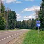
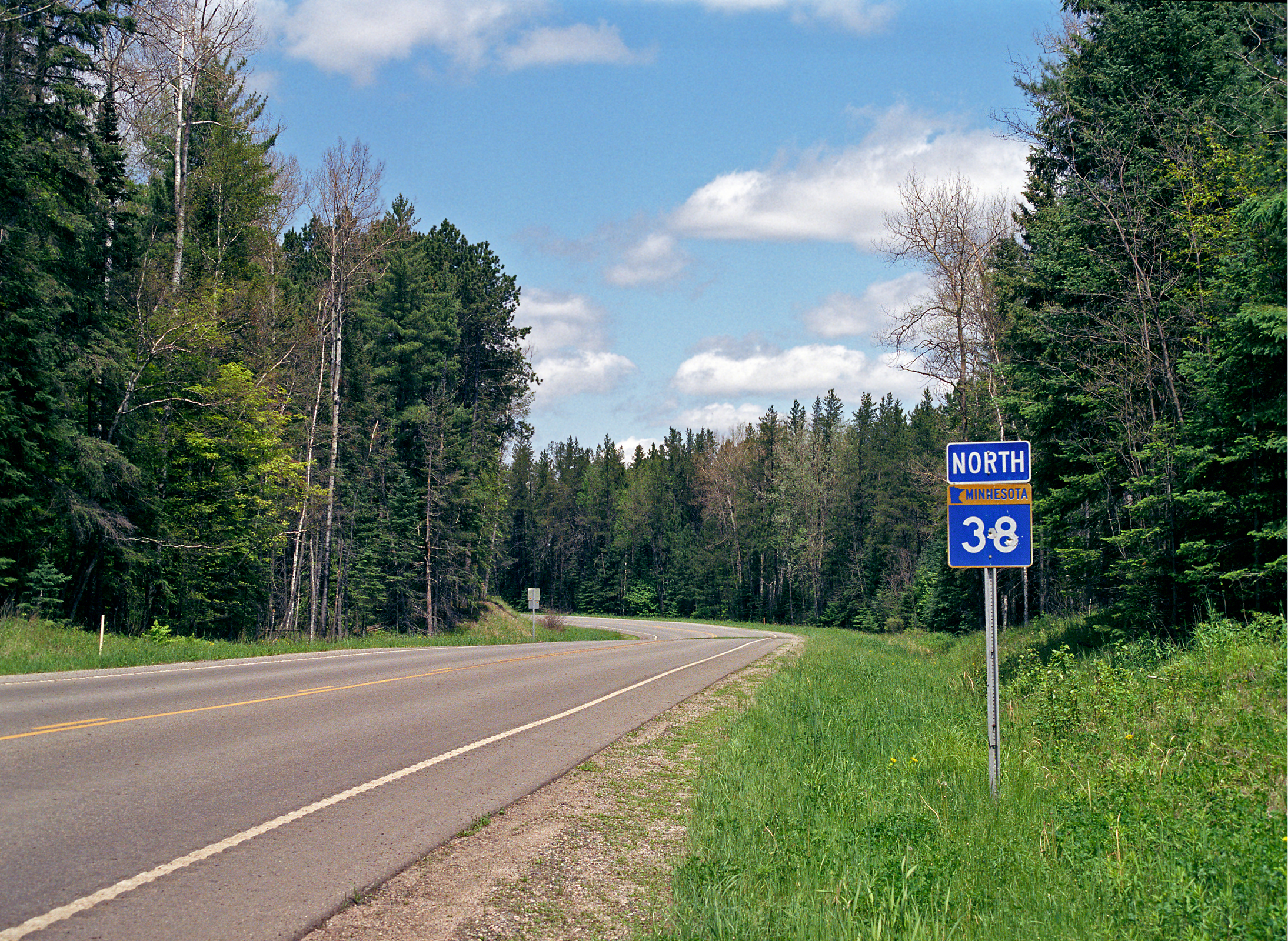
The Edge of the Wilderness Scenic Byway curves by a highway road sign that stands beside the road in the forest. Evergreens and birches crowd close to the road.
Public Domain.
Download Original (2189 x 1600 pixels, 5202.2 MB)
-
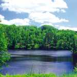
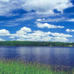
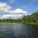
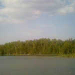
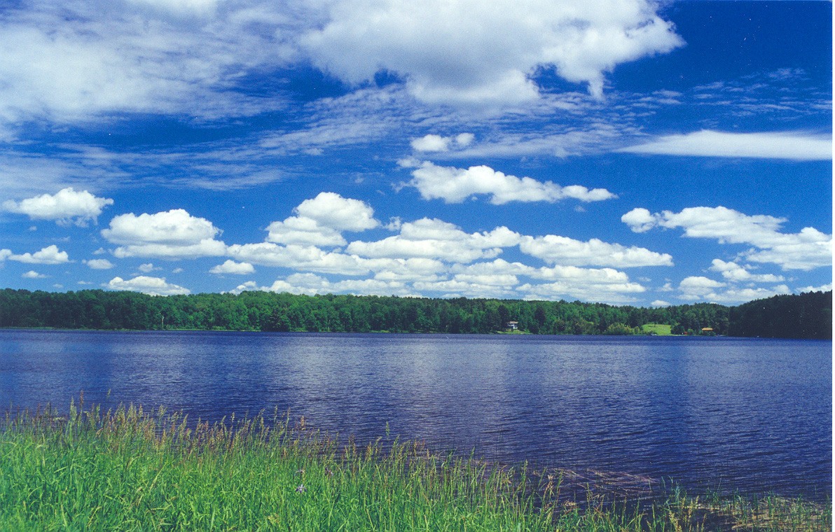
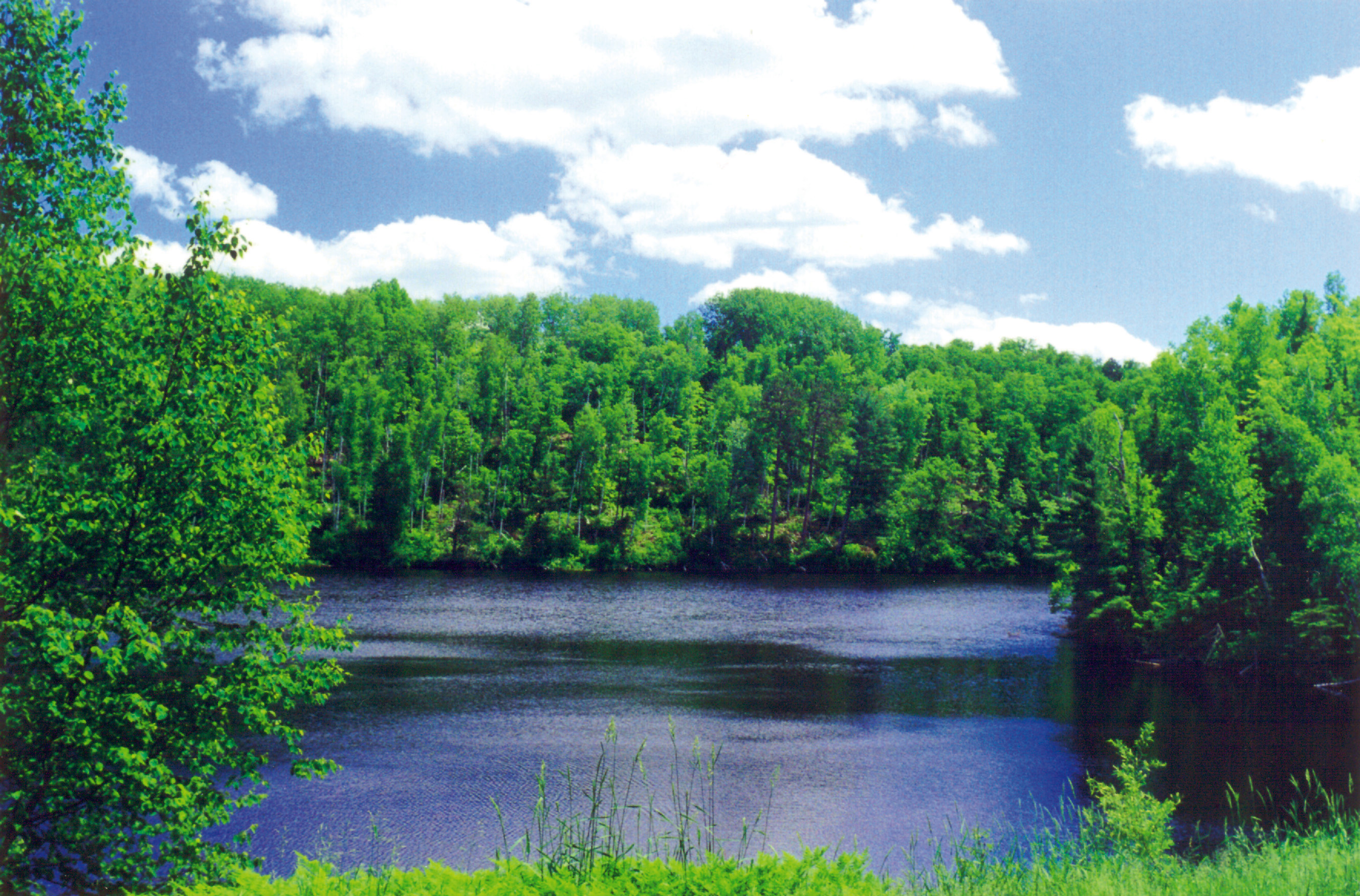
Evergreens line a lake on a bright day with fluffy clouds.
Public Domain.
Download Original (2658 x 1751 pixels, 1721.9 MB)
-
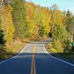
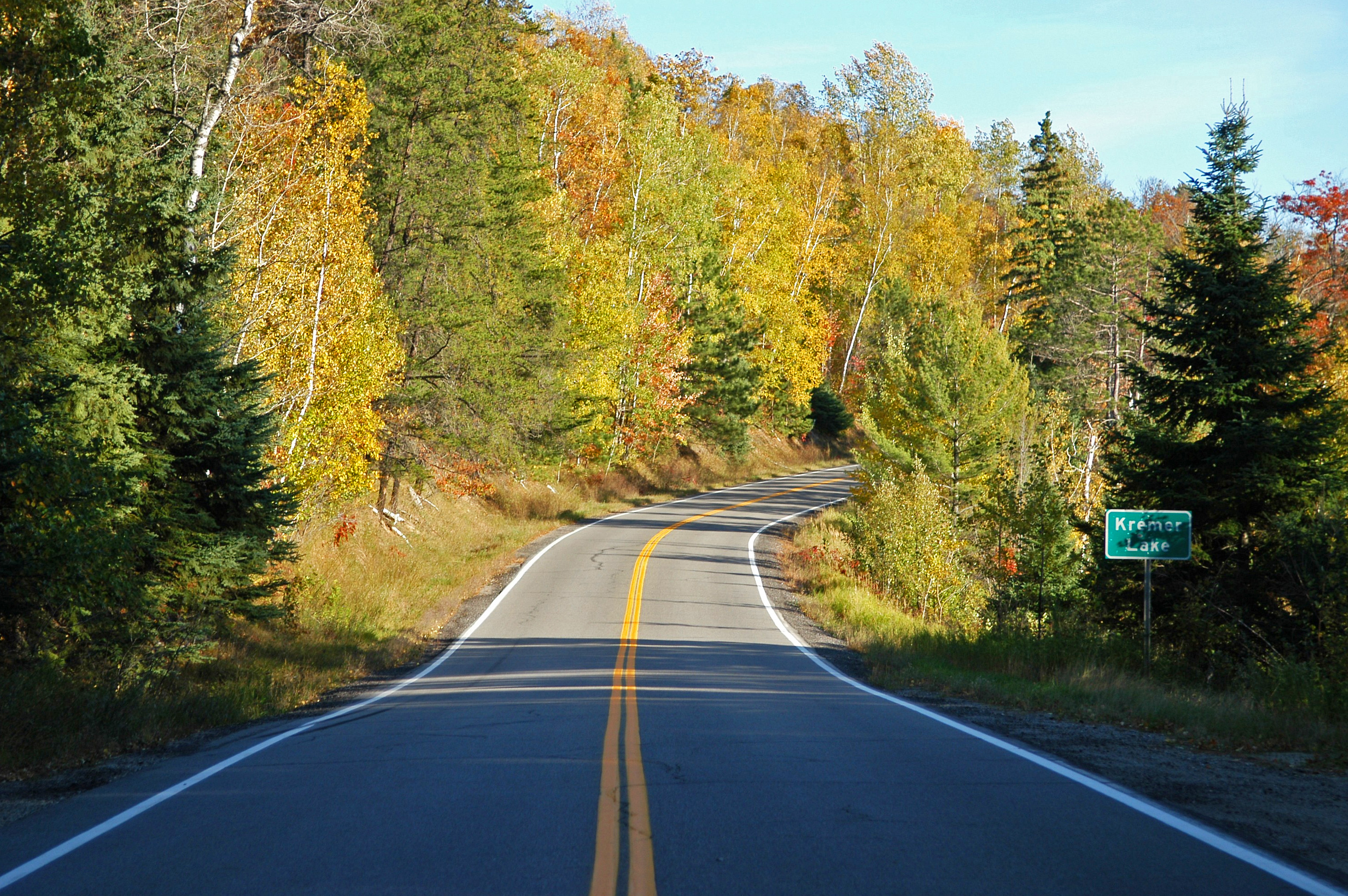
Trees in their autumnal yellow and orange colors line the Edge of the Wilderness Scenic Byway. A Kremor Lake road sign stands beside the road.
Public Domain.
Download Original (2979 x 1980 pixels, 4162.2 MB)
-
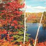
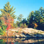
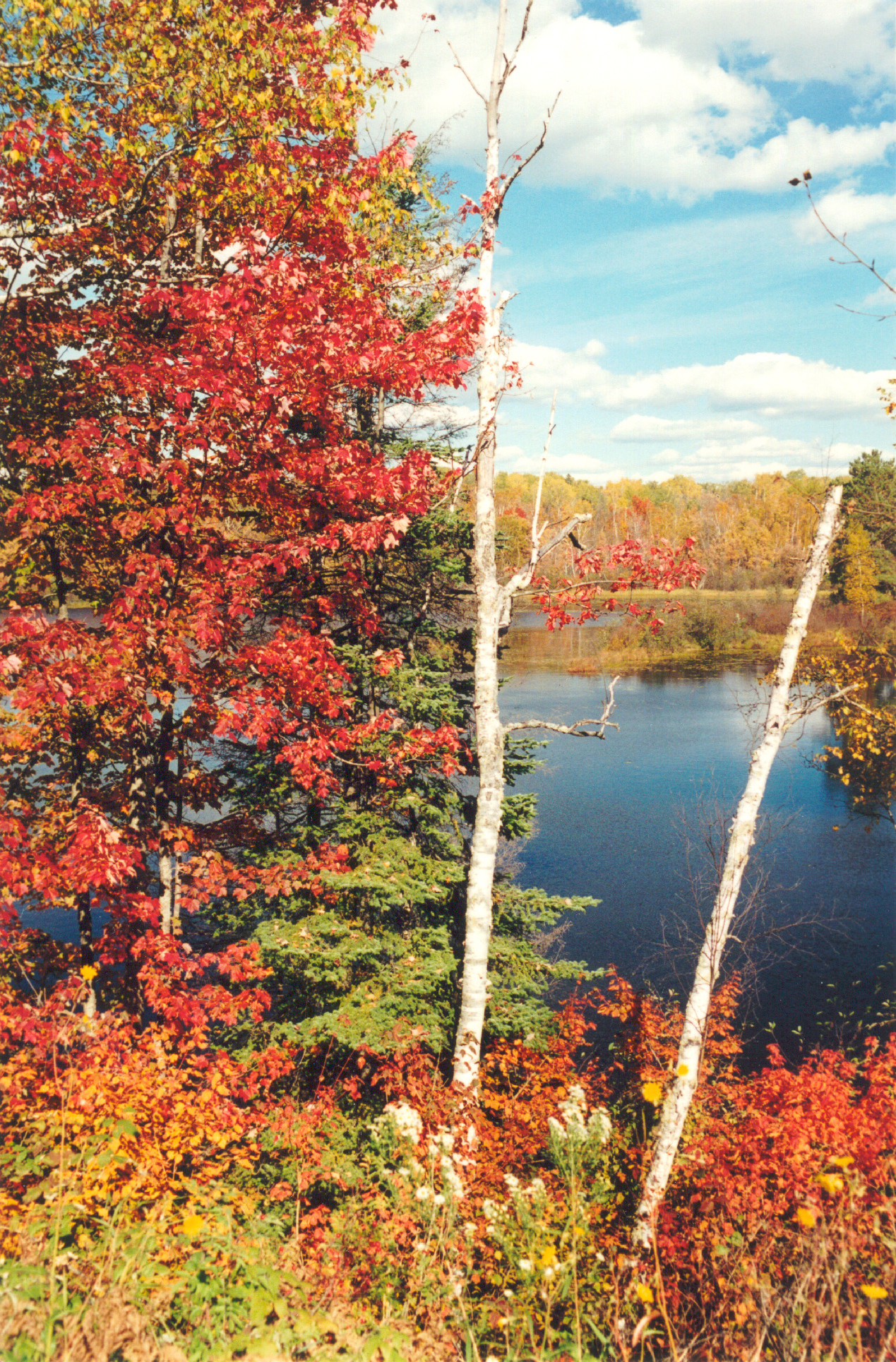
Vivid reds leaves on maples contrast against the deep blue waters of a lake on the Edge of the Wilderness Scenic Byway. White clouds dapple the clear autumn sky.
Public Domain.
Download Original (1269 x 1929 pixels, 3229.4 MB)
-
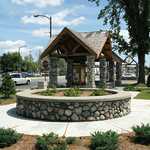
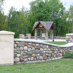
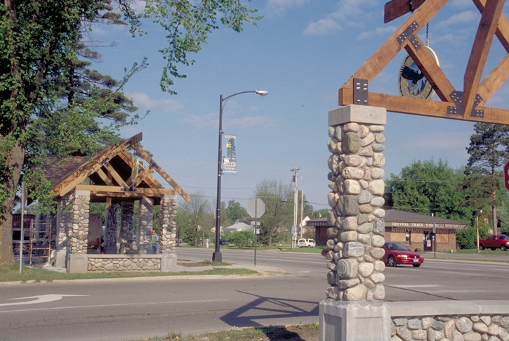
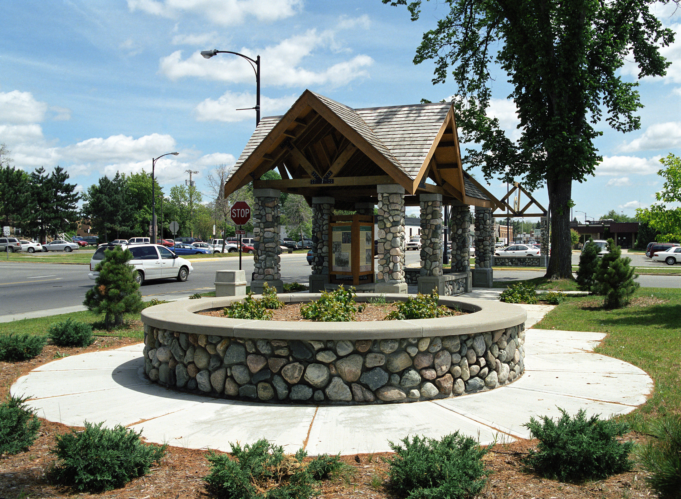
A roofed kiosk built of round river rocks resembles a well in this small town on the Edge of the Wilderness Scenic Byway.
Public Domain.
Download Original (2183 x 1600 pixels, 4738.3 MB)
-
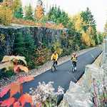
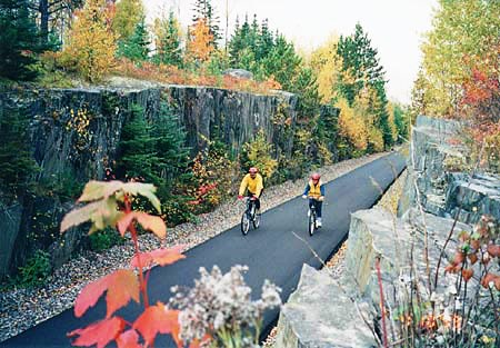
Two bikers peddle along the legendary Mesabi Trail amidst beautiful fall foliage.
Public Domain. Photo courtesy of the Minnesota Department of Tourism
Download Original (450 x 313 pixels, 65.4 KB)
-
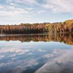
A crystal clear lake mirrors a party cloudy sky on a beautiful fall day on the Edge of the Wilderness Scenic Byway.
© October 2005 Taimur Malik.
Download Original (1565 x 1037 pixels, 1231.4 MB)
-
A stand of birch trees in winter offers a beautiful winter backdrop.
Public Domain.
Download Original (180 x 123 pixels, 22.0 KB)
-
Turtle Lake is one of several scenic aspects of the Edge of the Wilderness Scenic Byway.
Public Domain.
Download Original (180 x 136 pixels, 8.6 KB)
-
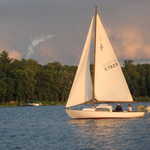
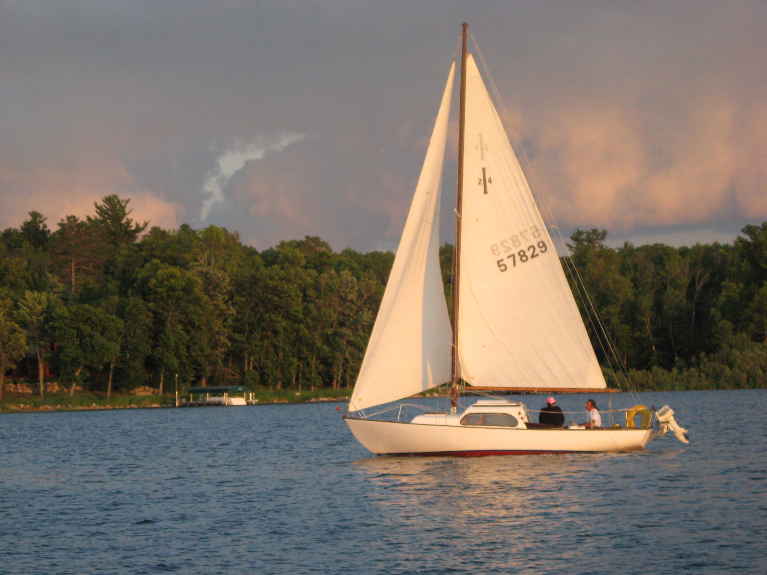
Boaters enjoy a tranquil sailing trip on Leech Lake.
 © 2007 Bill McChesney.
Download Original (2592 x 1944 pixels, 1148.6 MB)