
Historic Bluff Country Scenic Byway
All Photos (83)
-
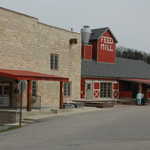
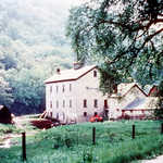
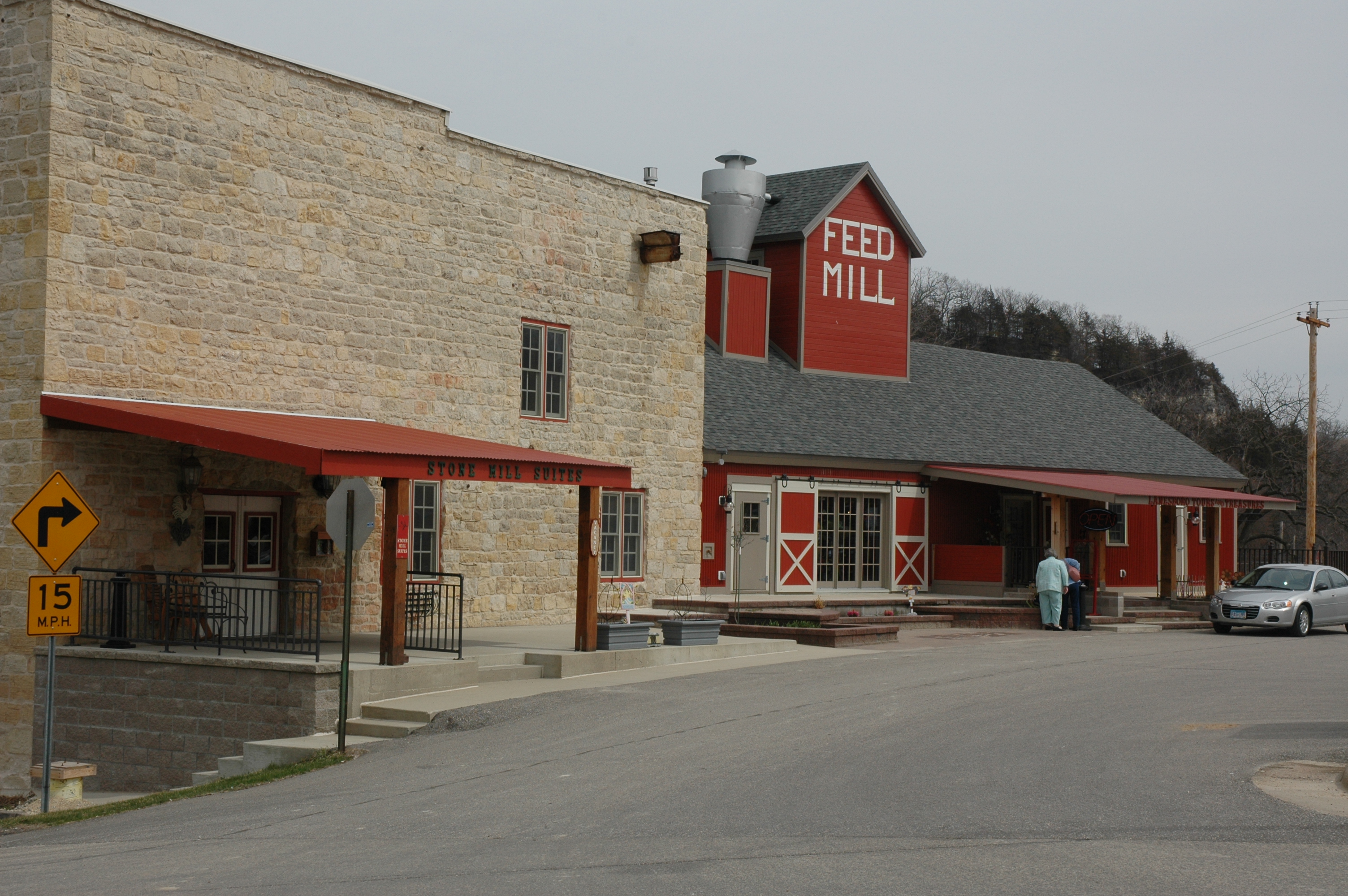
This restored old mill in Lanesboro now houses a gift shop, among other things.
Public Domain. Photo by S. Clyde
Download Original (3008 x 2000 pixels, 2557.1 MB)
-
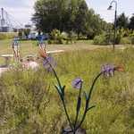
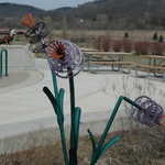
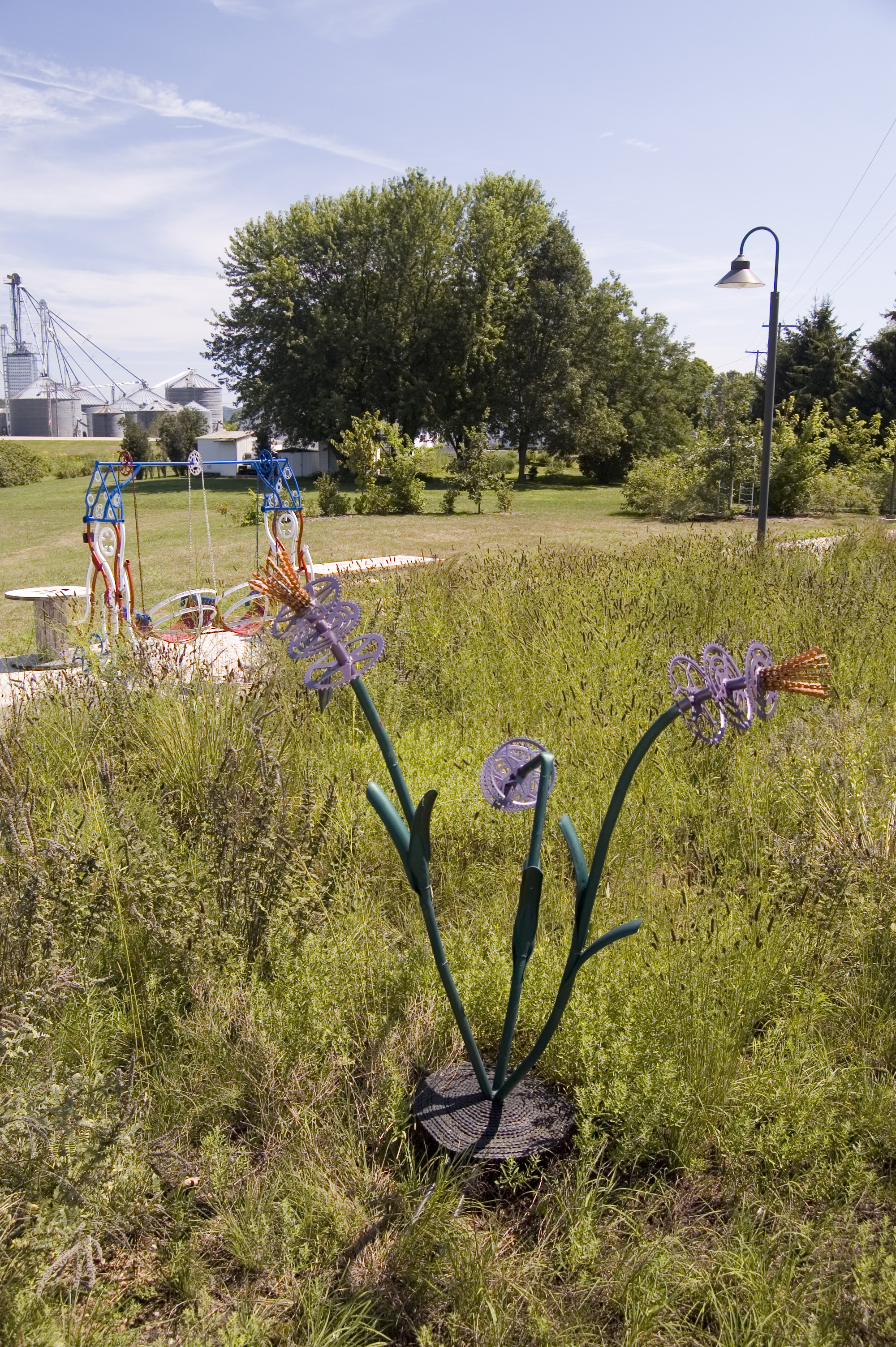
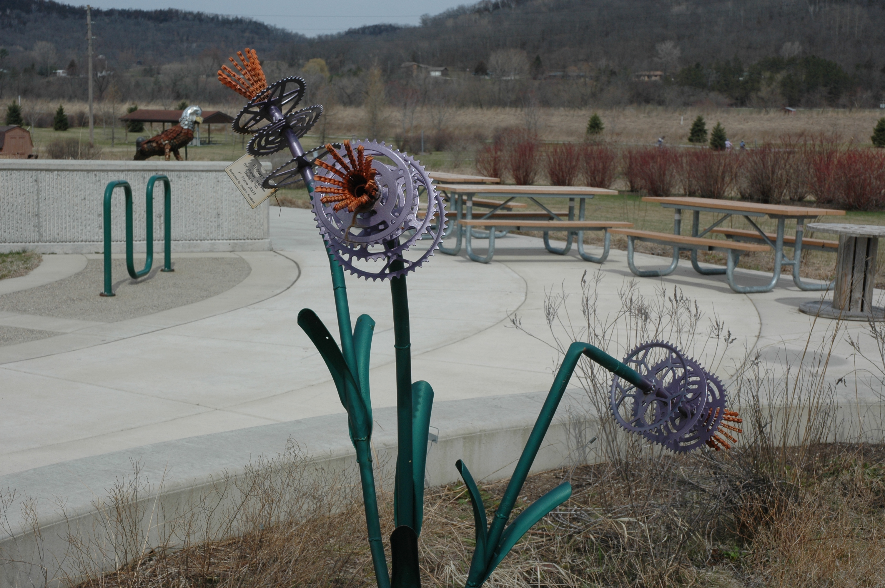
One of the outdoor sculptures at the Houston Nature Center on the Root River Trail resembles a bouquet of flowers, if flowers were made of bicycle parts.
Public Domain. Photo by A. E. Crane
Download Original (2000 x 3008 pixels, 3287.6 MB)
-
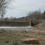
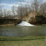
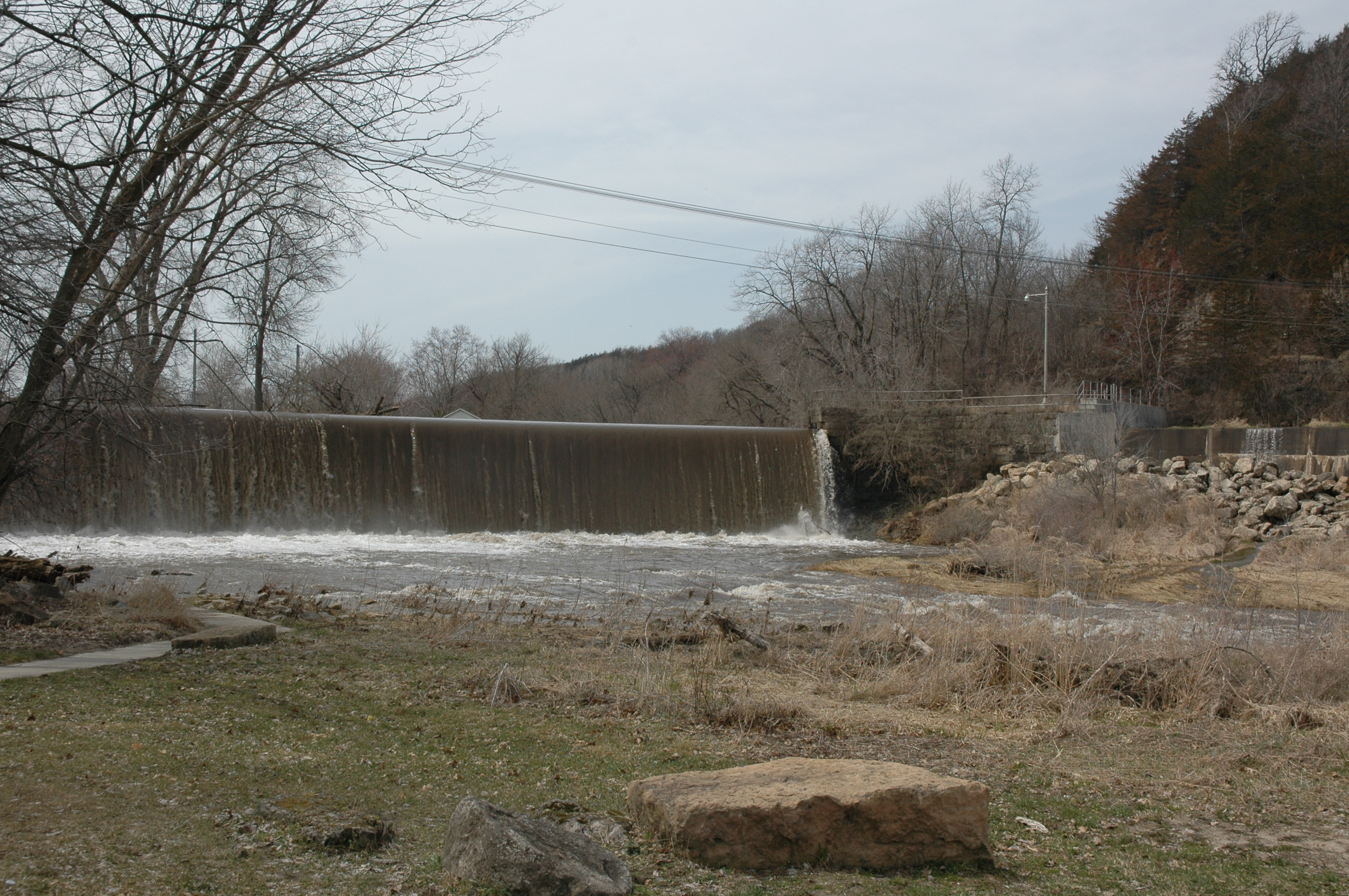
Waters swollen with spring snowmelt and rainfall spill over the old stone dam in Lanesboro.
Public Domain. Photo by S. Clyde
Download Original (3008 x 2000 pixels, 3294.0 MB)
-
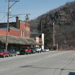
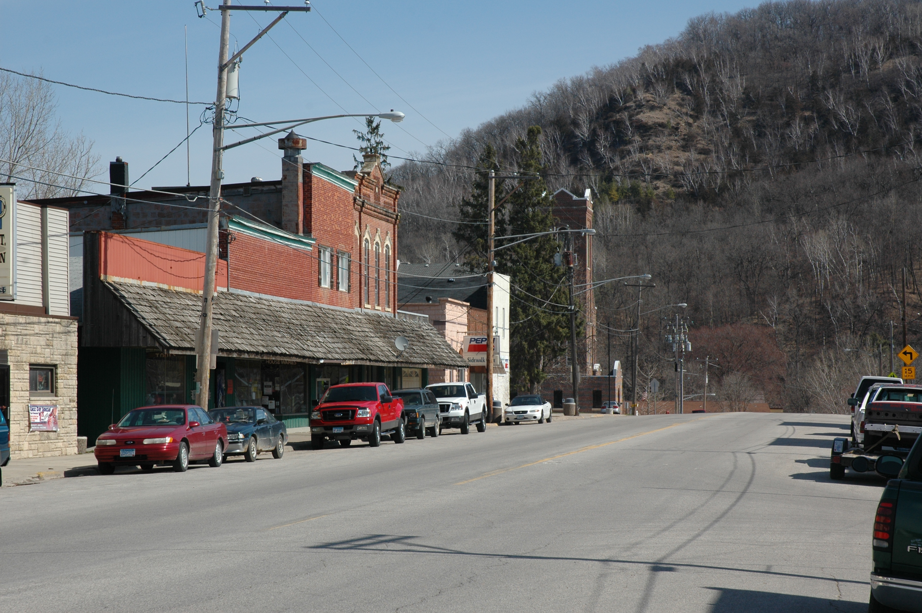
Downtown Hokah is quiet on a sunny Sunday morning in early April.
Public Domain. Photo by A. E. Crane
Download Original (3008 x 2000 pixels, 2822.2 MB)
-
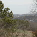
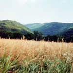
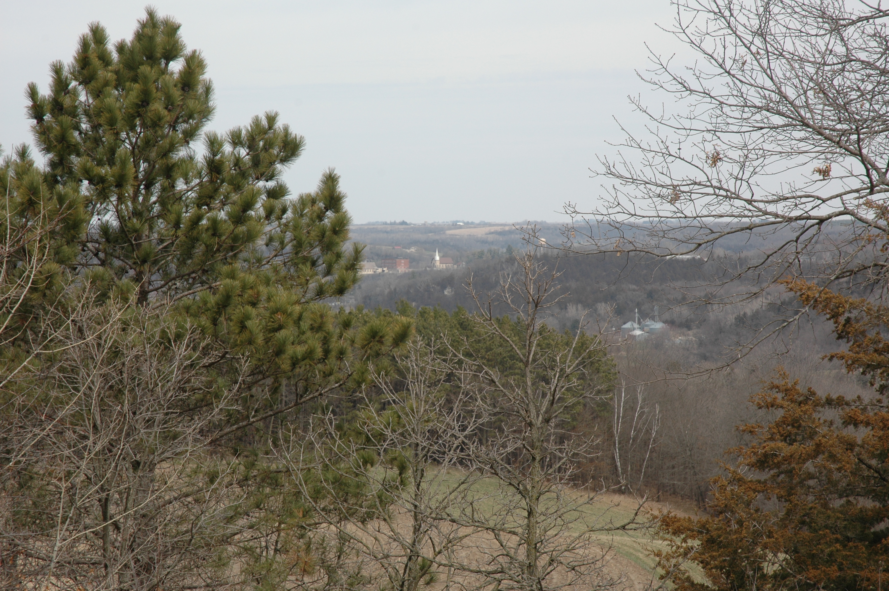
Even though the hills aren't laden with their summer green yet, the view is still worth seeing from Inspiration Point west of Lanesboro.
Public Domain. Photo by S. Clyde
Download Original (3008 x 2000 pixels, 3130.2 MB)
-
Bike parts make creative art at an outdoor sculpture display at the Houston Nature Center.
Public Domain. Photo by A. E. Crane
Download Original (3008 x 2000 pixels, 2409.8 MB)
-
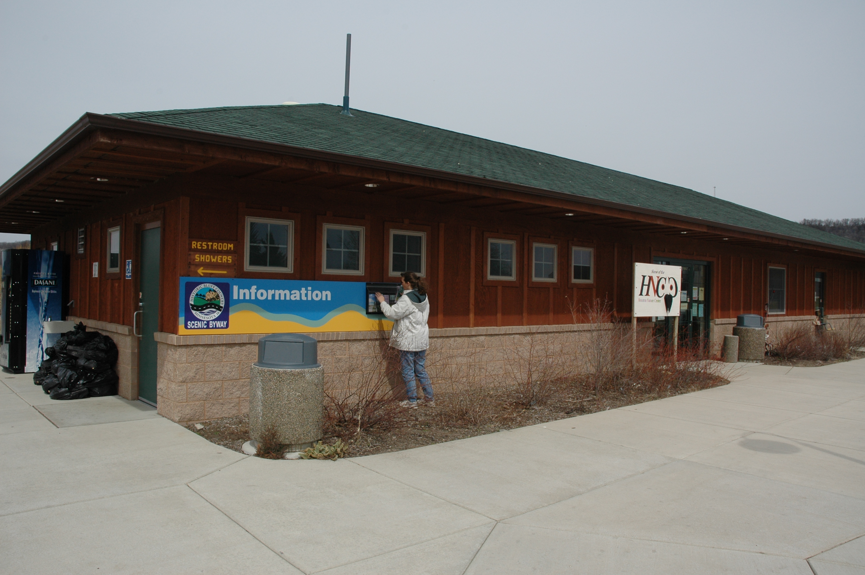
A visitor checks out the free biking materials at the Houston Nature Center.
Public Domain. Photo by A. E. Crane
Download Original (3008 x 2000 pixels, 2741.1 MB)
-
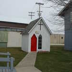
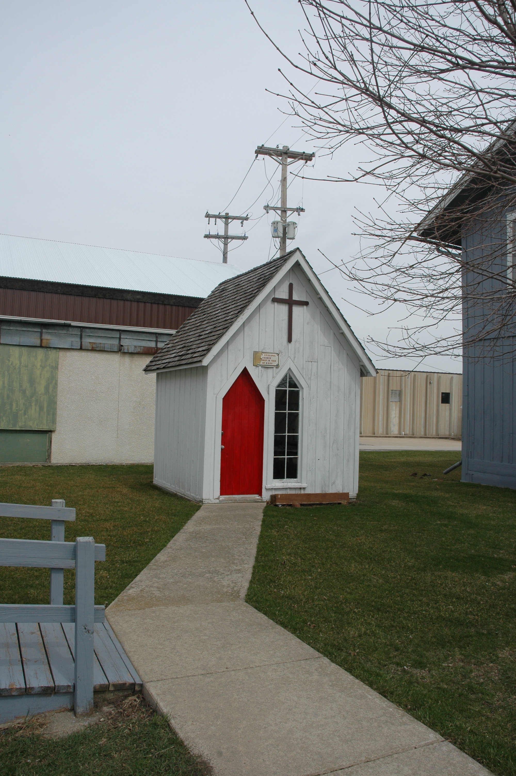
One room is all you need to worship at this little white church with a red door in Rushford.
Public Domain. Photo by S. Clyde
Download Original (2000 x 3008 pixels, 2731.2 MB)
-
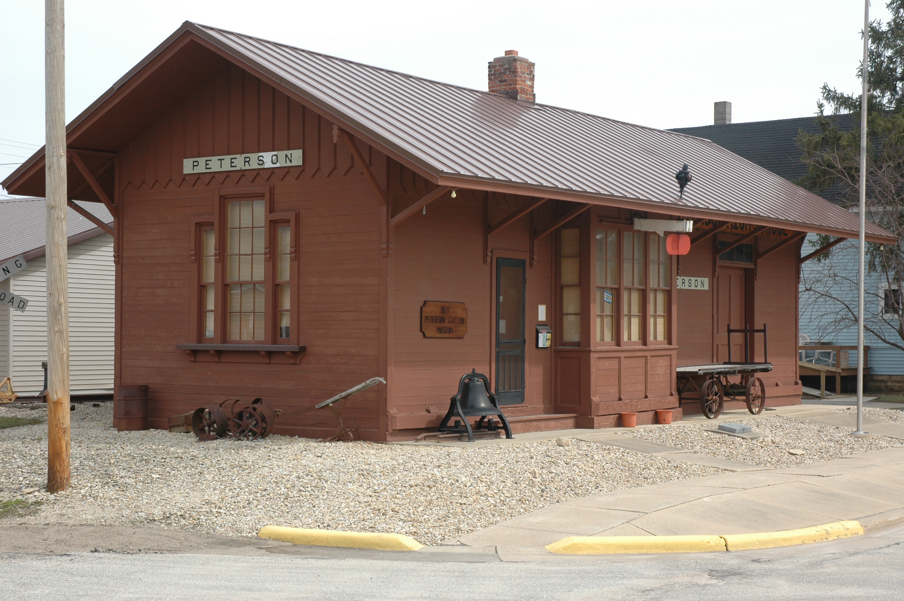
The Peterson Station Museum stands at a corner in Peterson, Minnesota.
Public Domain. Photo by S. Clyde
Download Original (3008 x 2000 pixels, 2703.4 MB)
-

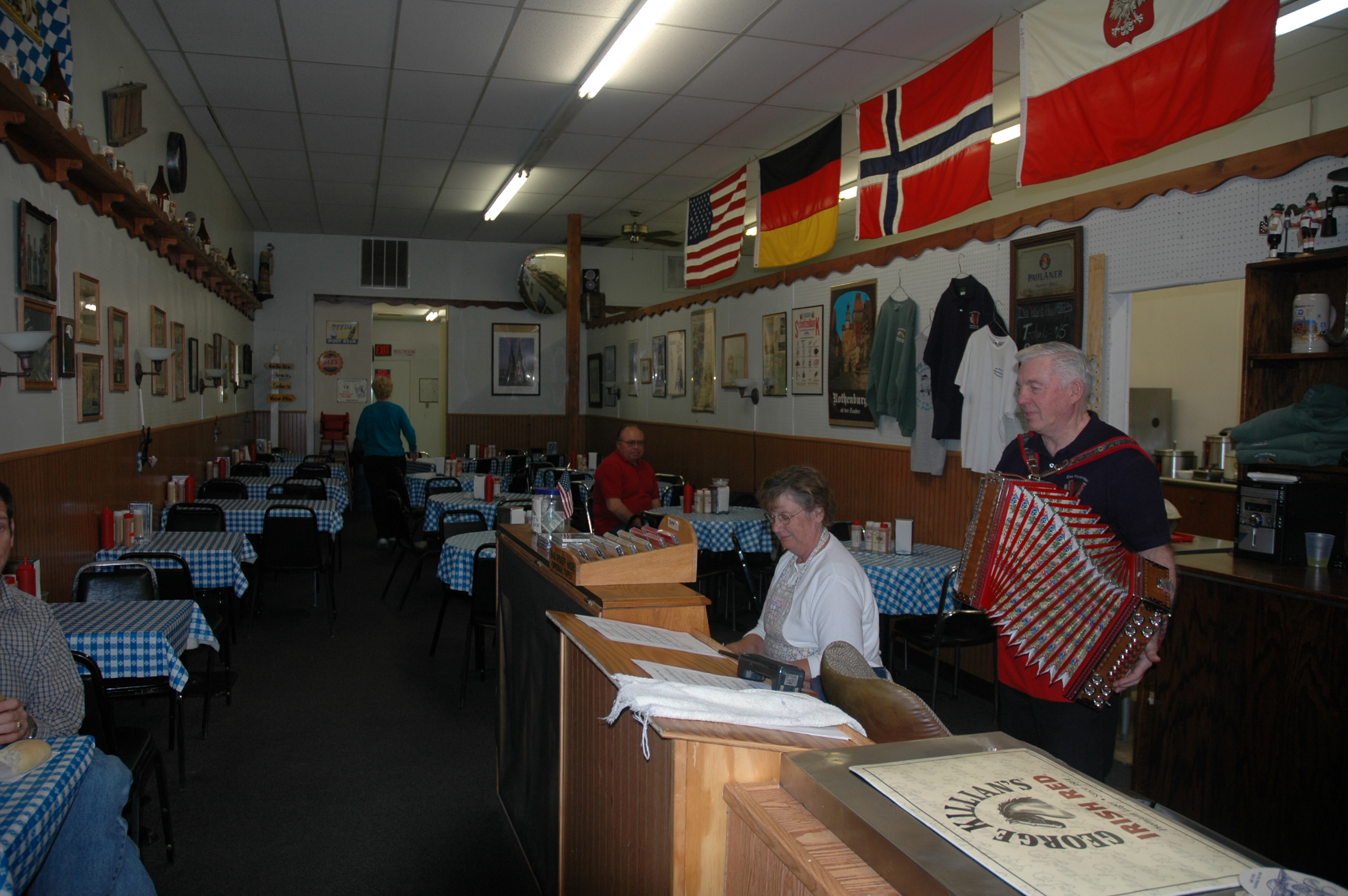
Live polka and piano music is a fun feature of lunchtime at Das Wurst Haus in Lanesboro.
Public Domain. Photo by S. Clyde
Download Original (3008 x 2000 pixels, 2534.4 MB)
-

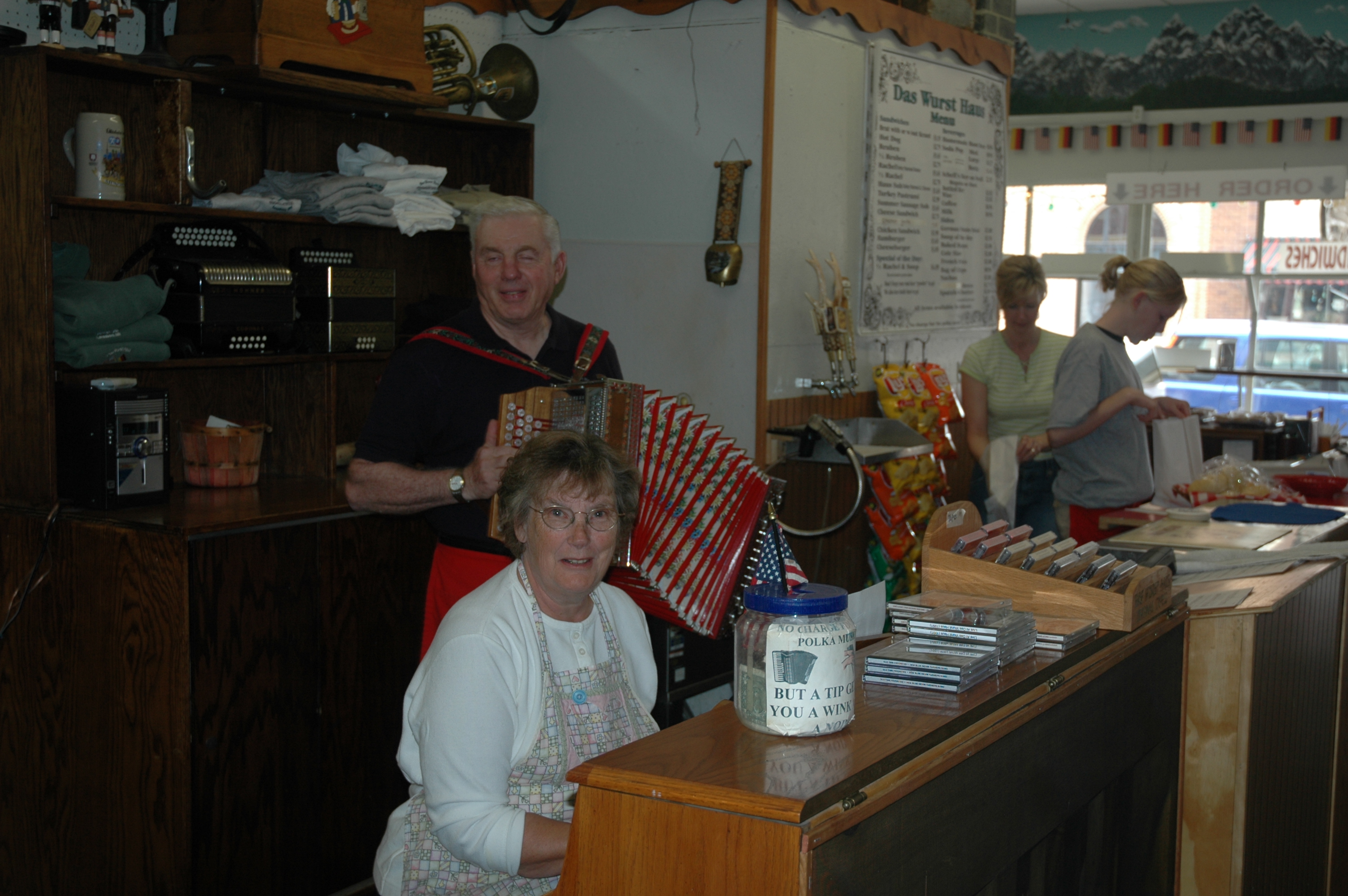
A piano player and an accordian player entertain some Sunday lunchers at Das Wurst Haus in Lanesboro.
Public Domain. Photo by S. Clyde
Download Original (3008 x 2000 pixels, 2758.8 MB)
-
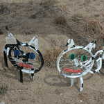
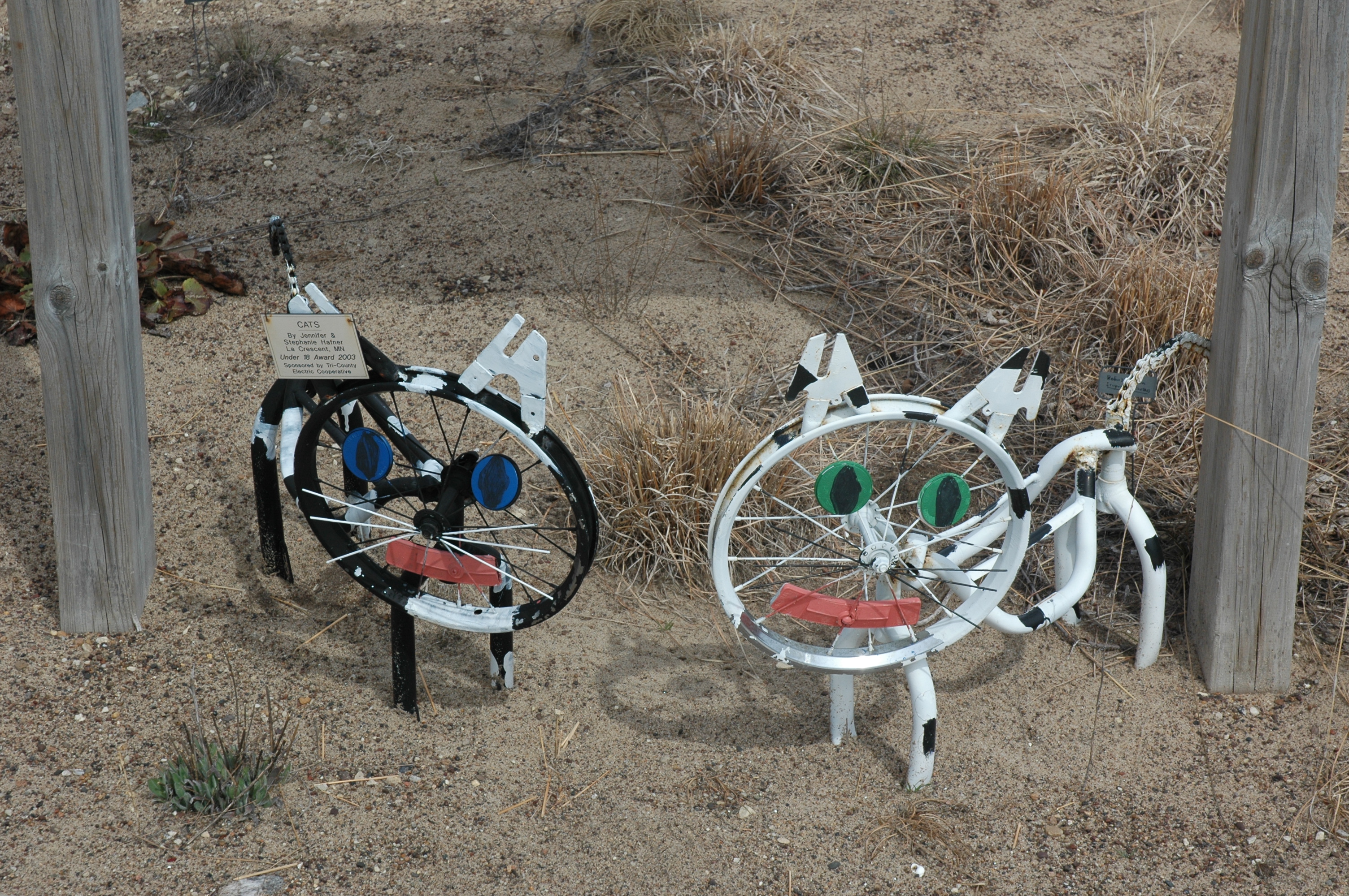
Bike parts form two sculptures of cats at an outdoor display on the grounds of the Houston Nature Center.
Public Domain. Photo by A. E. Crane
Download Original (3008 x 2000 pixels, 2994.3 MB)
-
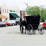
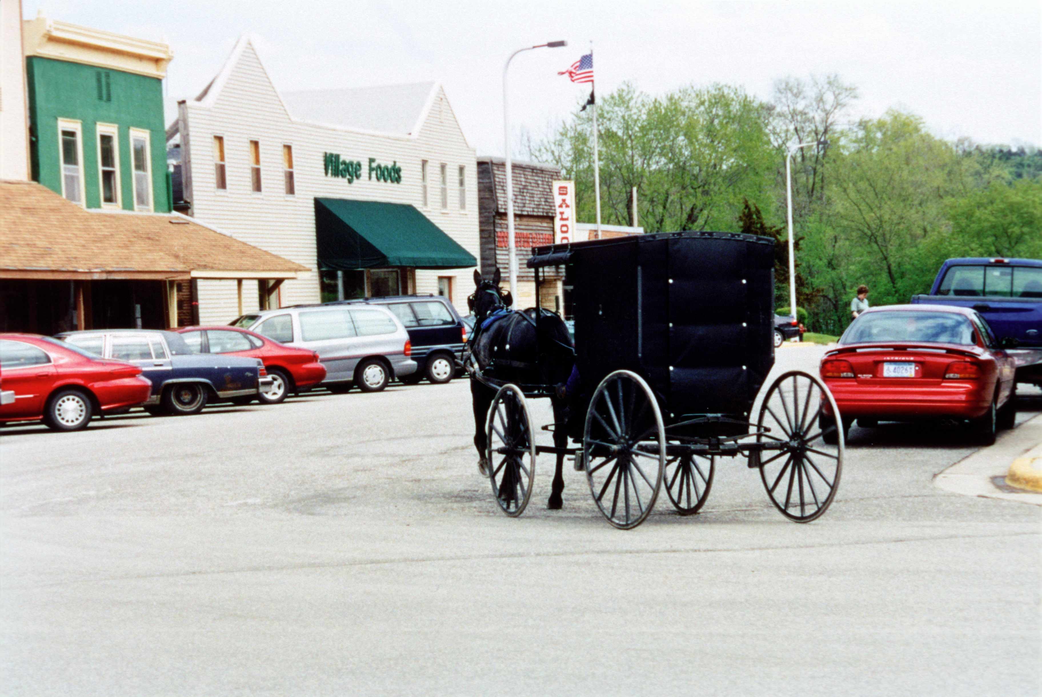
The Byway corridor includes a large community of Old Order Amish, who demonstrate a unique lifestyle and are often seen on the highways and in the communities, especially Harmony, Preston, Lanesboro, and Canton.
Public Domain.
Download Original (3648 x 2442 pixels, 7916.4 MB)
-

A Laura Ingalls Wilder site, the museum is in a church that the Wilder family attended.
Public Domain.
Download Original (2443 x 3625 pixels, 9338.9 MB)
-
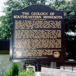
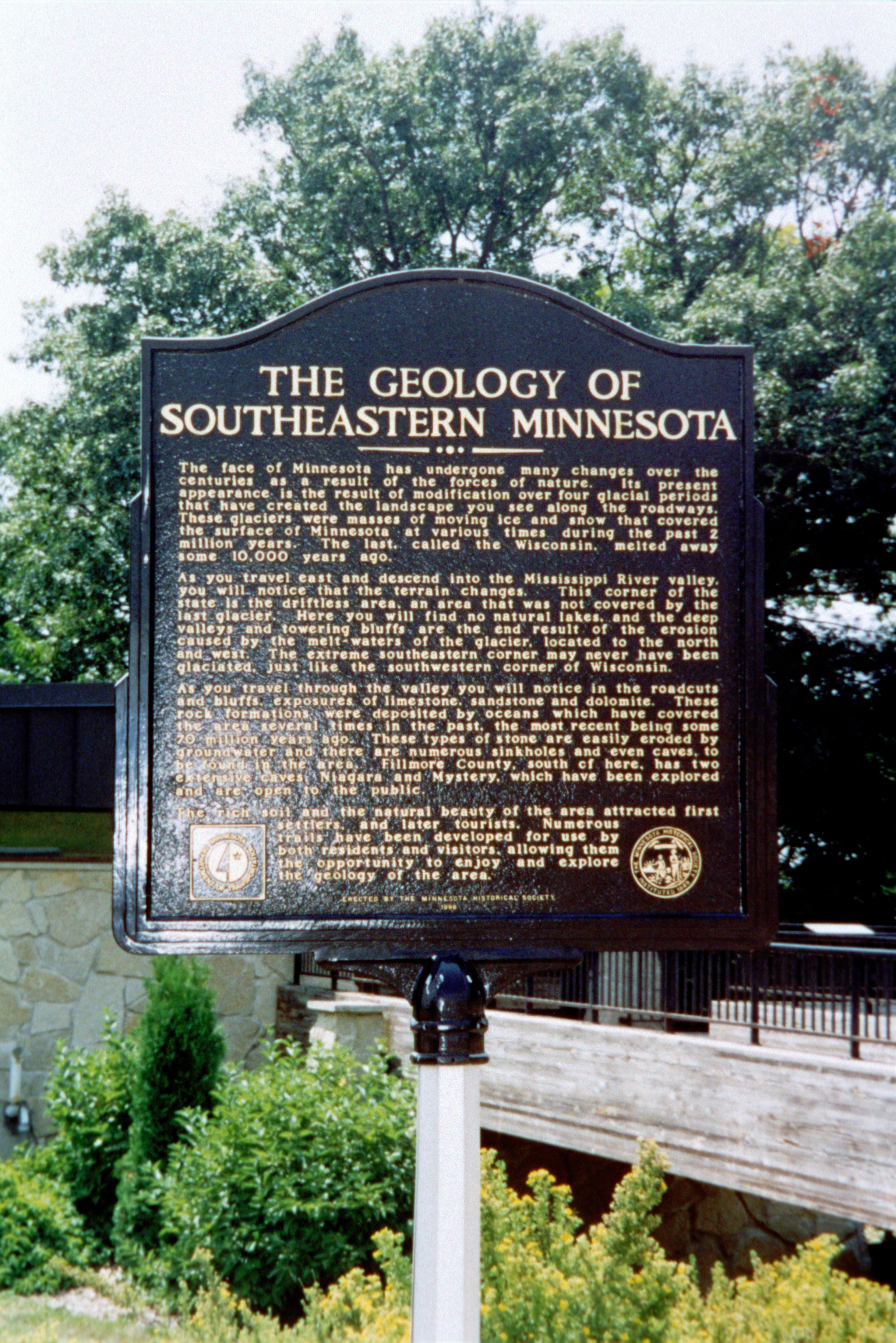
The karst topography of Southeastern Minnesota is unique and a curiosity to visitors.
Public Domain.
Download Original (2434 x 3647 pixels, 8749.8 MB)
-
An old WPA construction project, the Wayside near Preston gives visitors a place to pull off the highway and enjoy the view out over the city, the county fairgrounds, and the South Branch of the Root River.
Public Domain.
Download Original (2432 x 3631 pixels, 8502.0 MB)
-
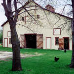
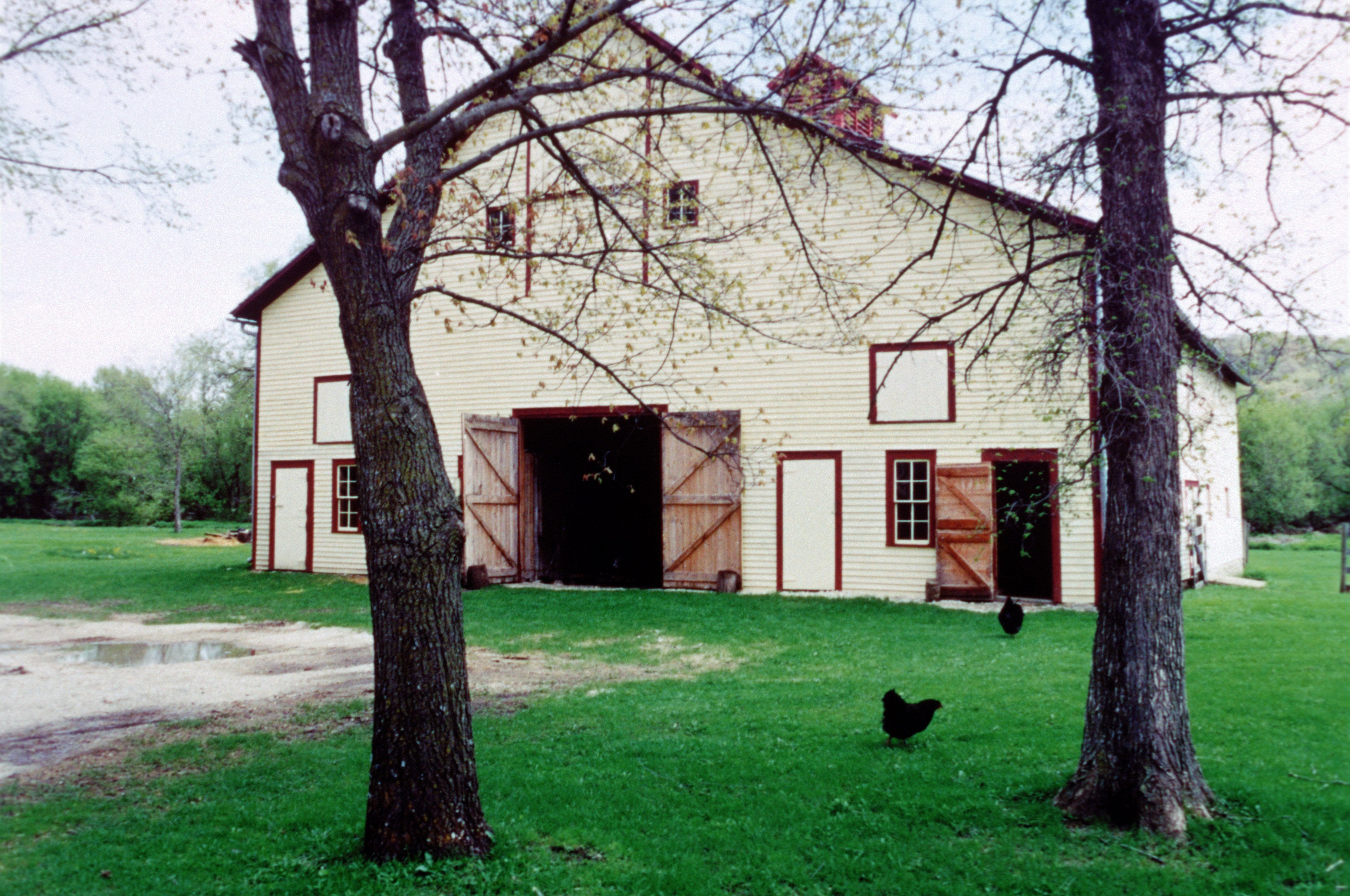
This barn is part of Historic Forestville, a state historic site, where costumed guides portray actual residents in their daily activities and assist visitors to imagine what life was like in this small town.
Public Domain.
Download Original (3640 x 2417 pixels, 8306.5 MB)
-
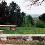
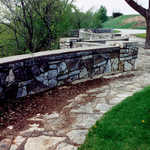
Built by the WPA, Inspiration Point provides a place with tables and benches where travelers can stop and enjoy the sweeping vistas of farmland, bluffs, and river valley.
Public Domain.
Download Original (3648 x 2434 pixels, 8270.9 MB)
-
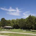
The Root River State Trail provides a scenic and safe place for biking, hiking, skating, and cross-country skiing.
Public Domain.
Download Original (3648 x 2437 pixels, 8583.4 MB)
-
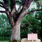
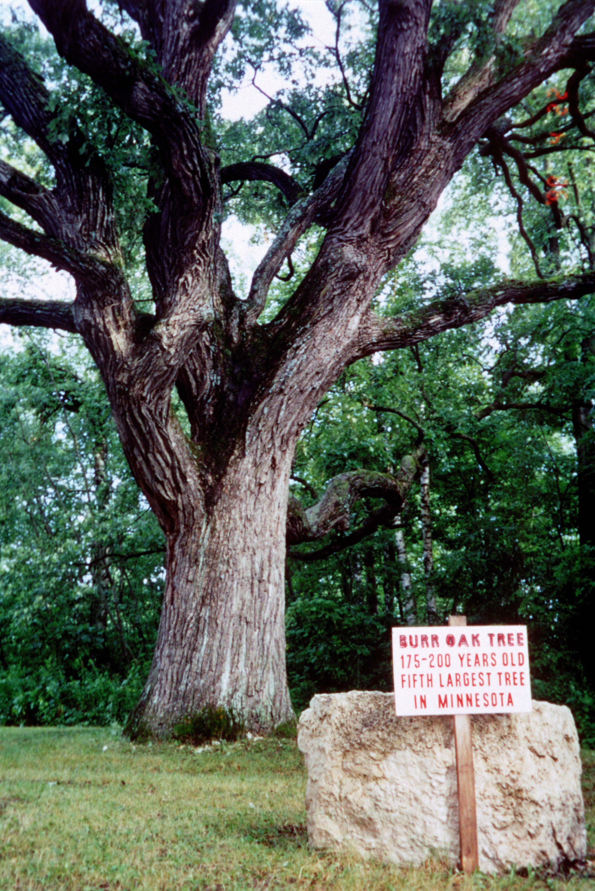
High on a bluff over the city of Rushford is a burr oak tree approximately 200 years old and the fifth largest tree in the State of Minnesota.
Public Domain.
Download Original (2439 x 3648 pixels, 8373.8 MB)
-
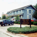
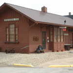
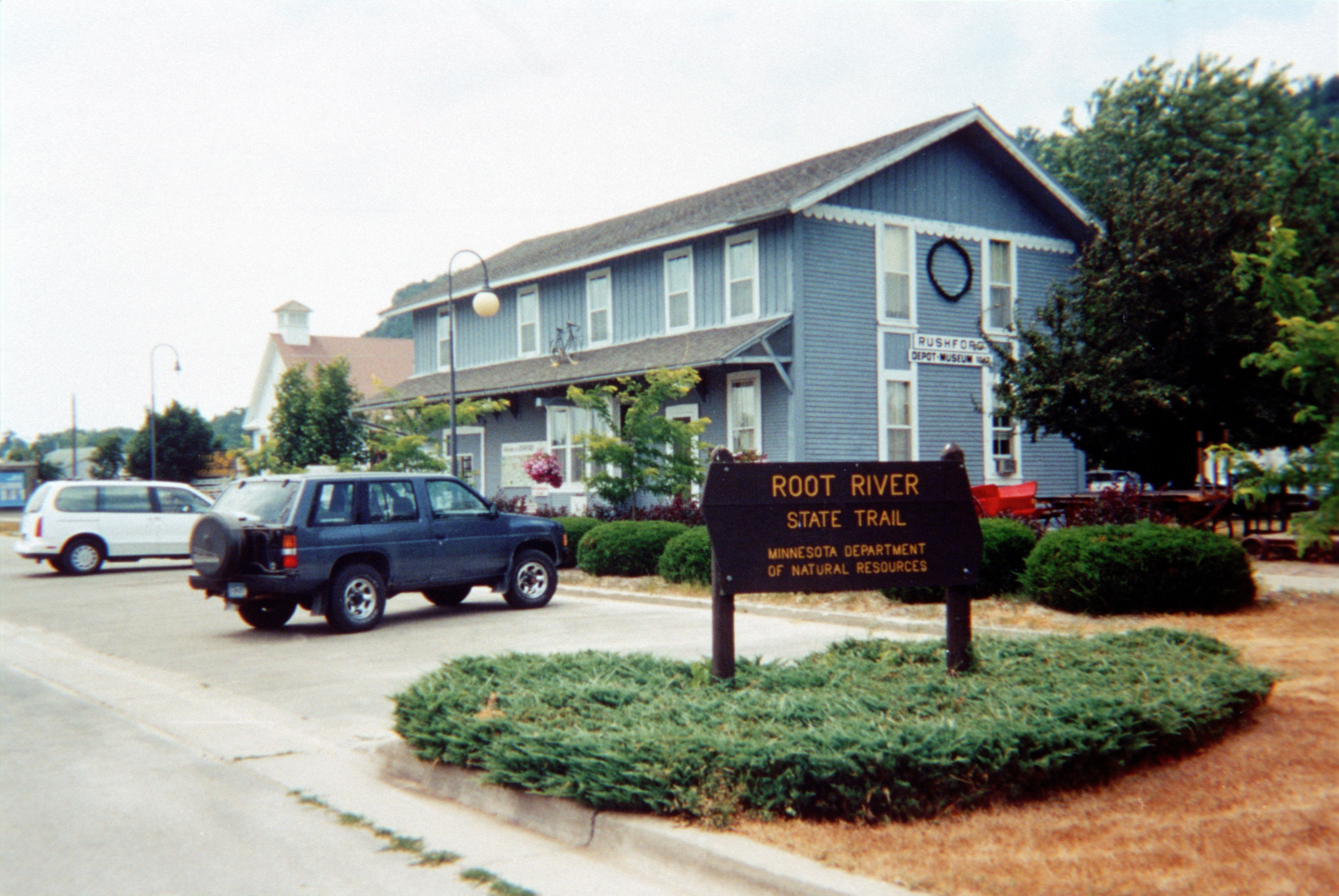
The oldest railroad depot in Minnesota that is still on its original site, it now serves as a trail head for the Root River State Trail and a museum of local history as well as a tourist information center.
Public Domain.
Download Original (3648 x 2442 pixels, 7863.1 MB)
-
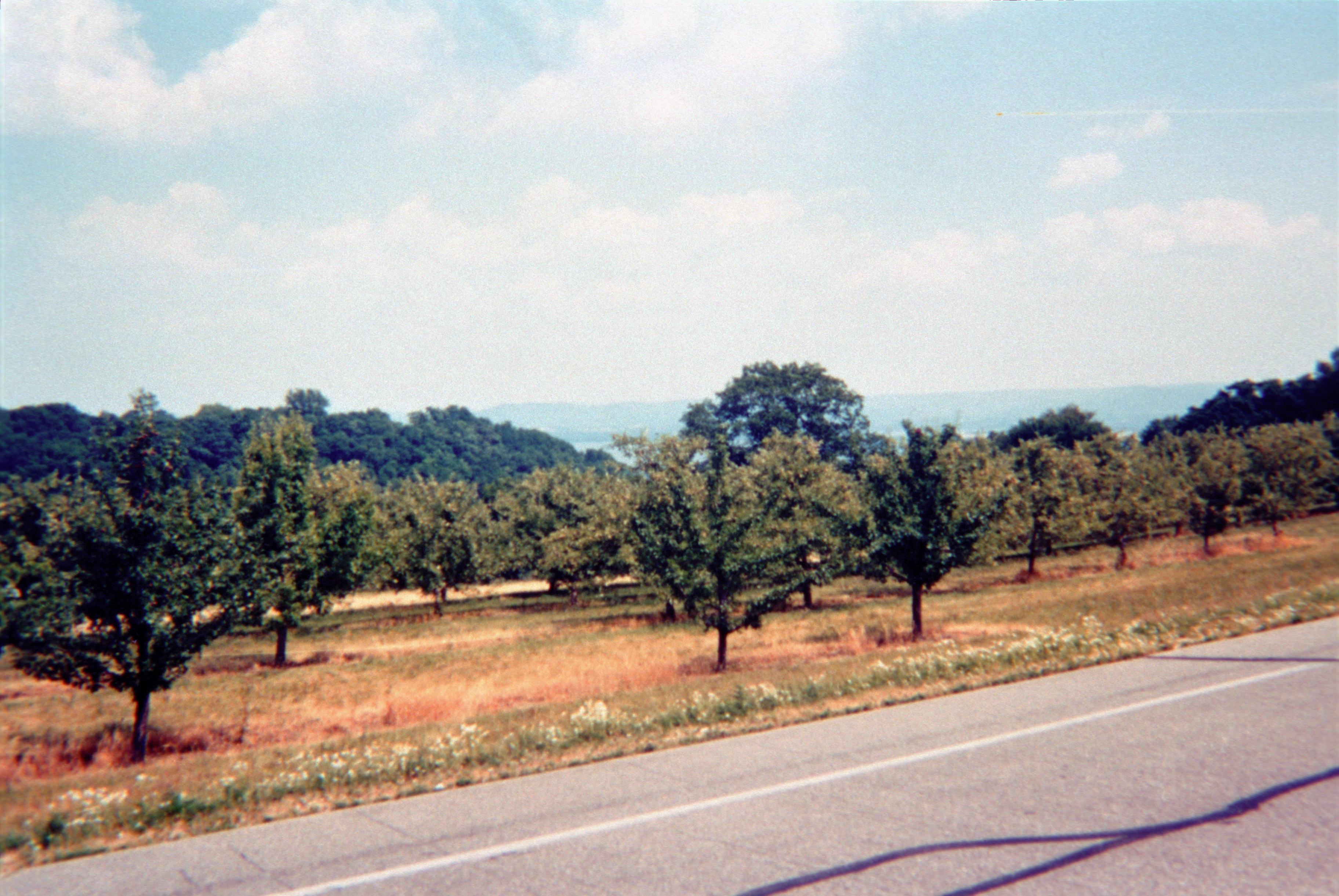
Travelers can enjoy the fruits of the harvest along with the glorious colors of the hardwoods when they visit in the fall.
Public Domain.
Download Original (3648 x 2442 pixels, 9434.2 MB)
-
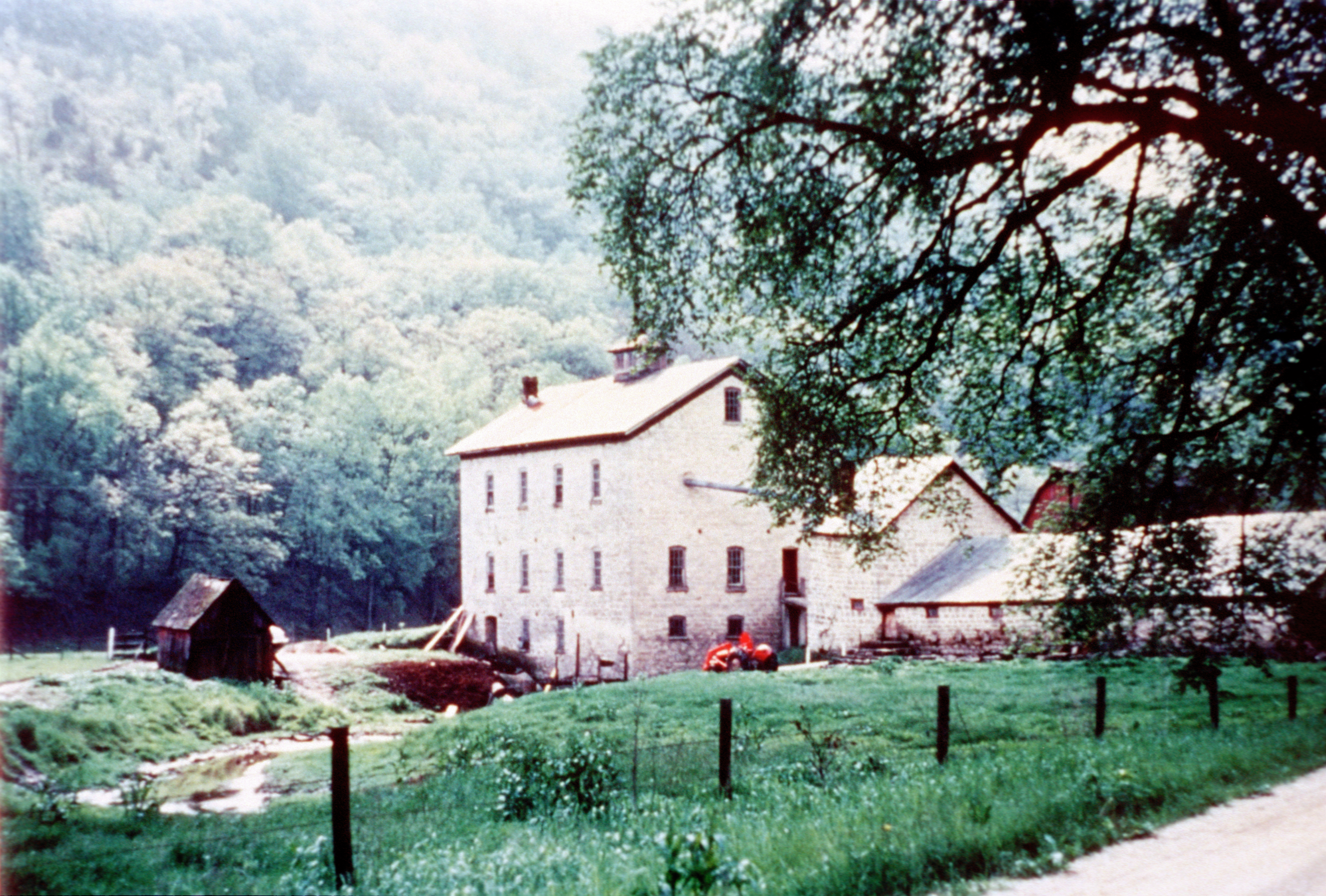
Schech's Mill is a hidden treasure -- Minnesota's only water-powered flour mill still in operation -- located next to Beaver Creek Valley State Park. It is still in operation and available for tours by appointment.
Public Domain.
Download Original (3624 x 2449 pixels, 8544.6 MB)
-
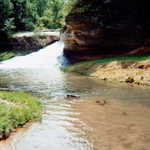
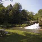
A waterfall located in a quiet park on the edge of Hokah, Como Falls is located near Mount Tom and the scenic bluffs of the Root and Mississippi Rivers.
Public Domain.
Download Original (2437 x 3648 pixels, 7628.1 MB)
-
The scene along the road into Forestville State Park shows the rolling landscape that invites visitors to enjoy the scenic views.
Public Domain.
Download Original (3640 x 2441 pixels, 8173.0 MB)
-
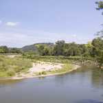
The byway follows the Root River for much of its length, providing visitors with many opportunities for enjoyment of the striking scenery.
Public Domain.
Download Original (3651 x 2428 pixels, 8413.5 MB)
-
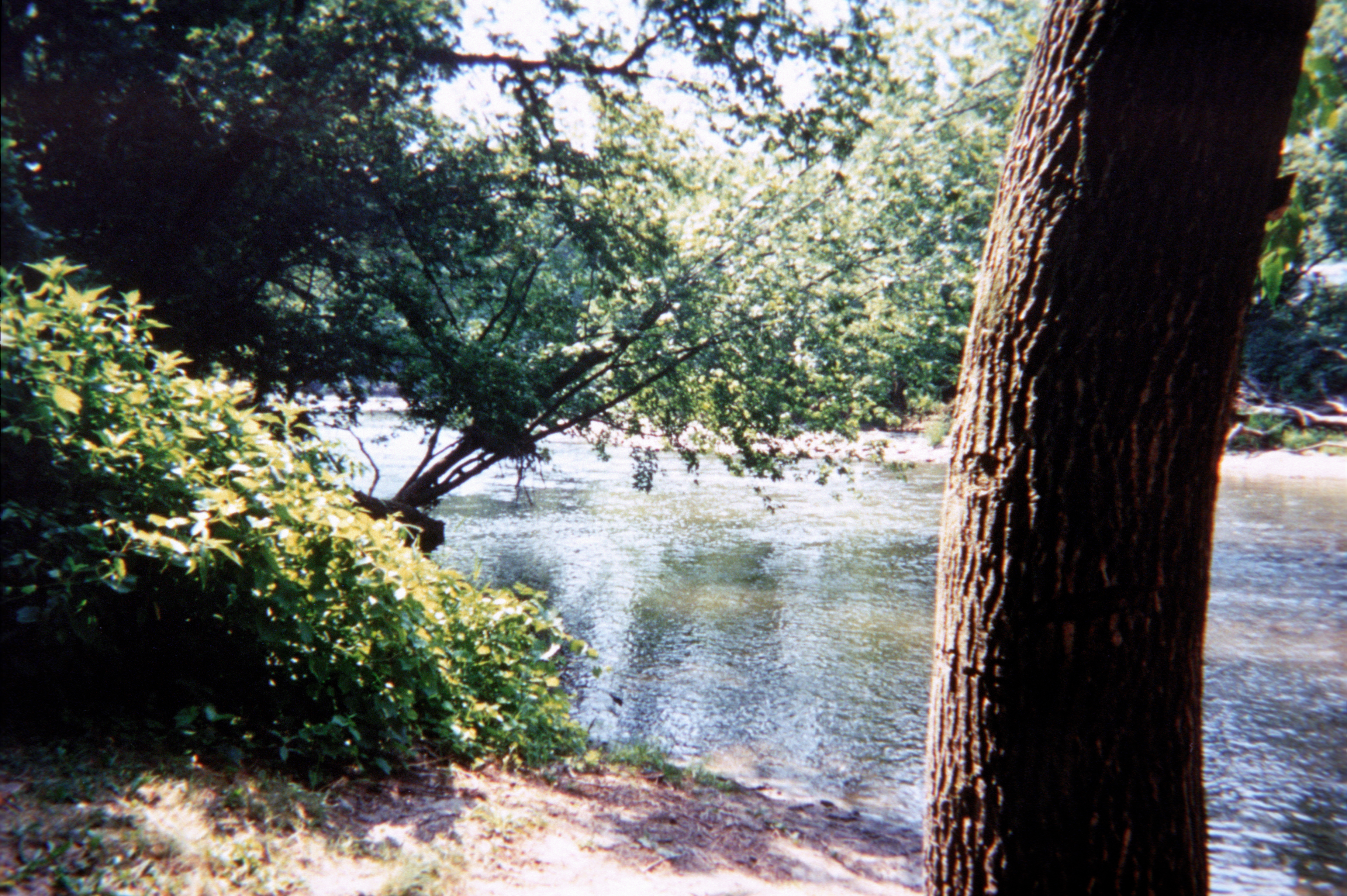
The Root River, which winds through the byway area, offers excellent canoeing, kayaking and fishing, as well as contributing to the scenic beauty of the region.
Public Domain.
Download Original (2425 x 3655 pixels, 7603.3 MB)
-
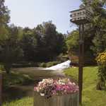
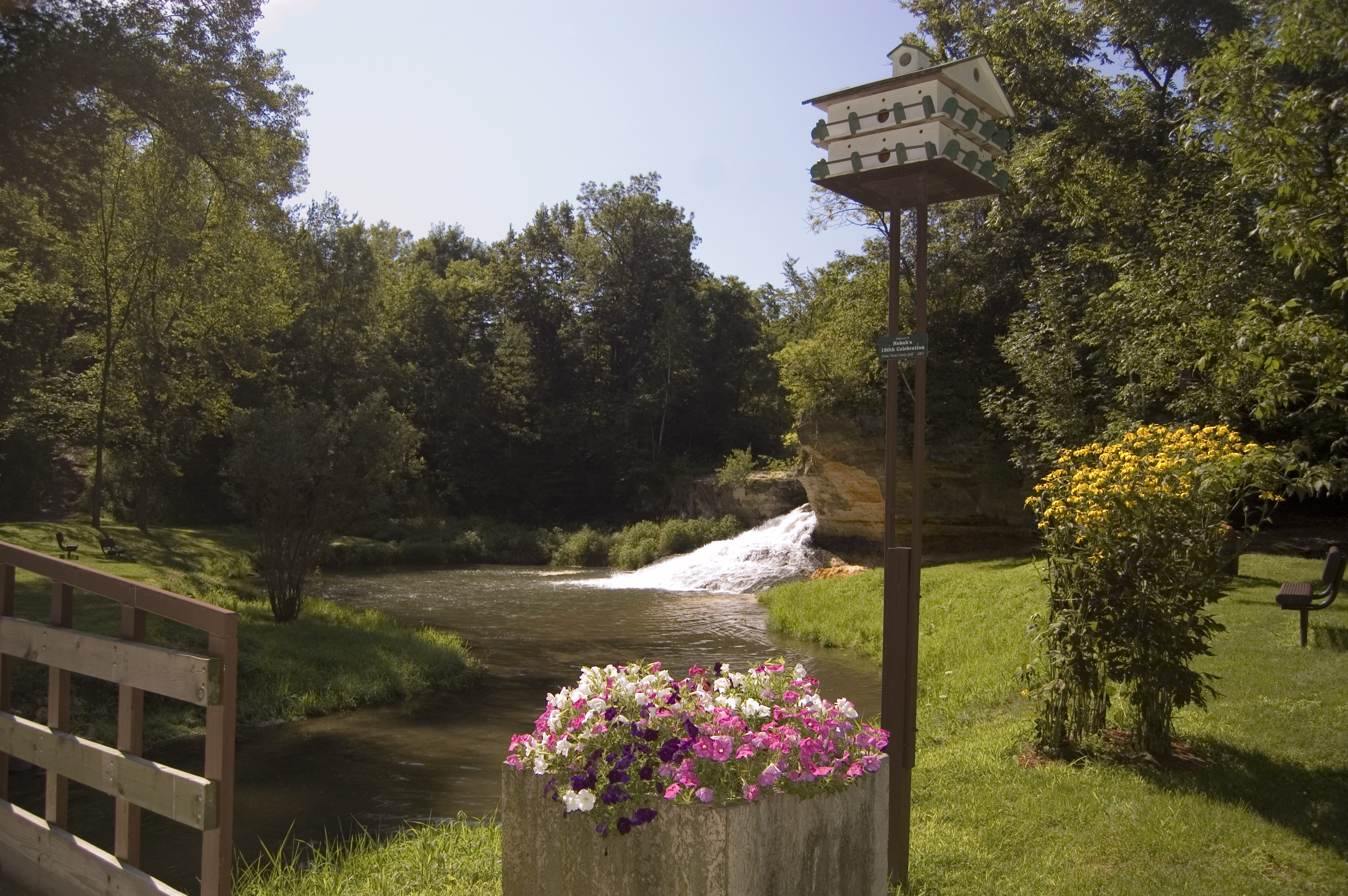
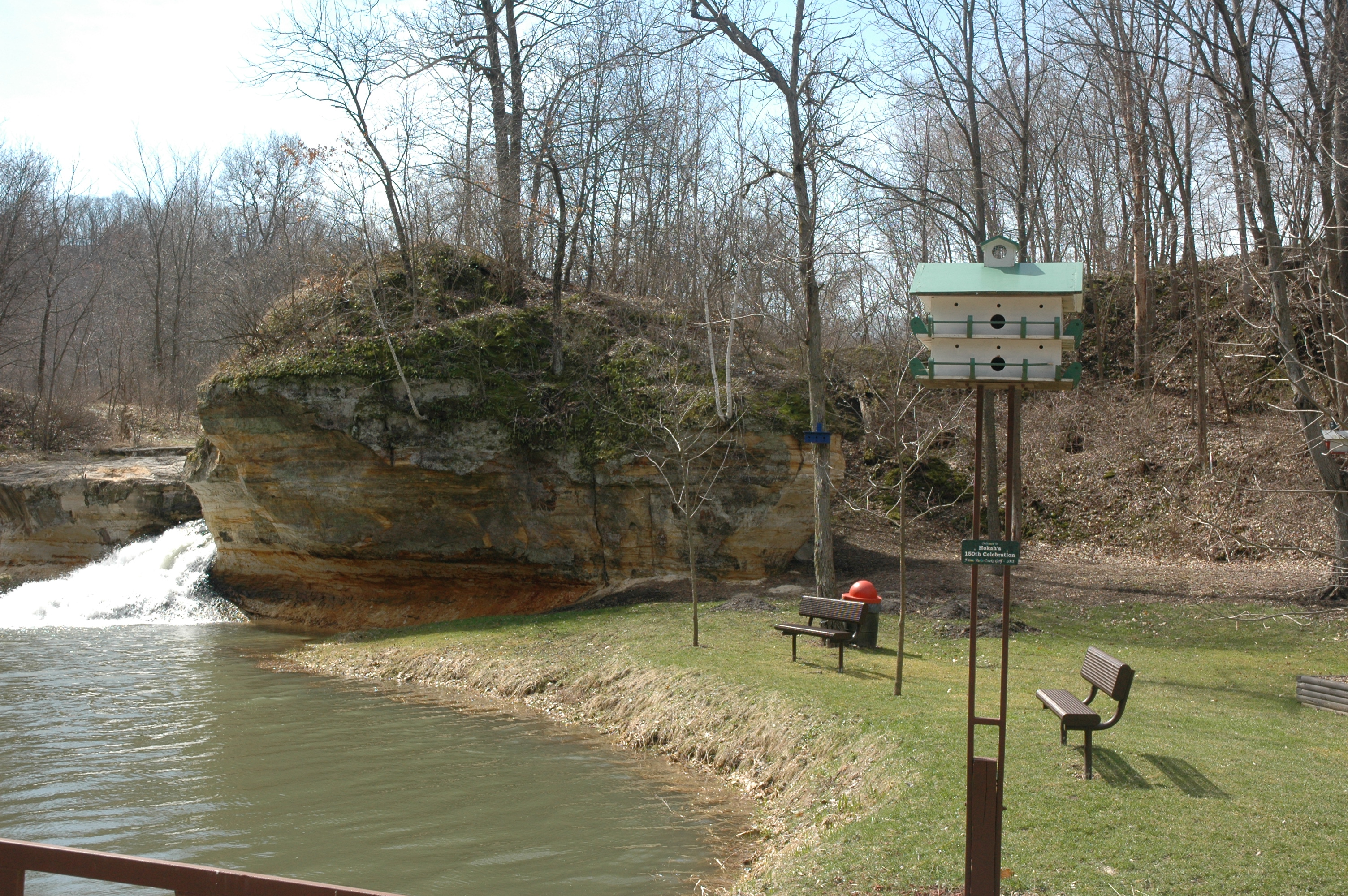
Pink and white petunias and other flowers complement the elaborate birdhouse standing on the shores of Thompson Creek that runs through Como Falls Park in Hokah.
Public Domain. Photo by A. E. Crane
Download Original (3008 x 2000 pixels, 2027.2 MB)
-
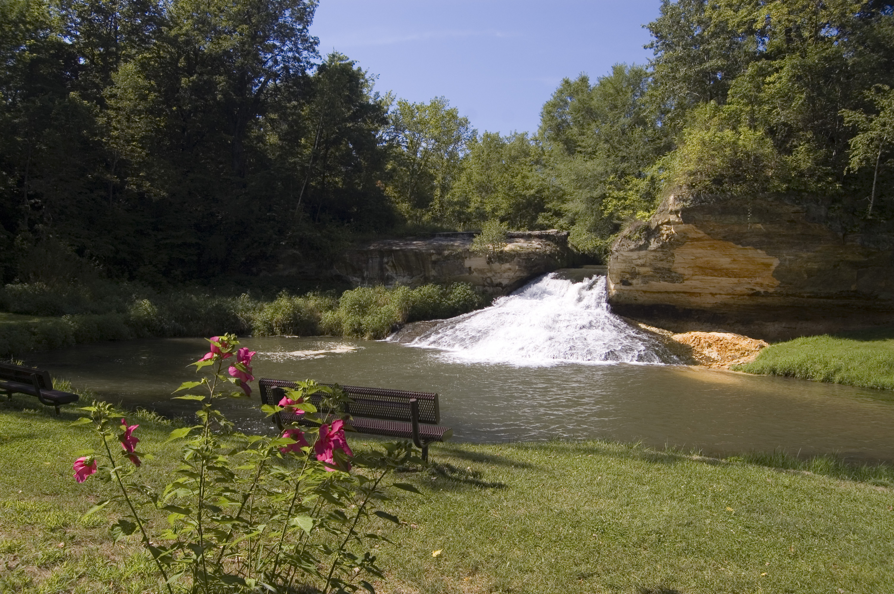
Pink hibiscus flowers bloom before Como Falls in summertime.
Public Domain. Photo by A. E. Crane
Download Original (3008 x 2000 pixels, 2387.3 MB)
-
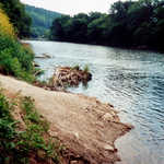
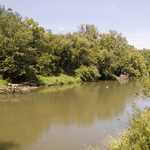
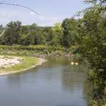
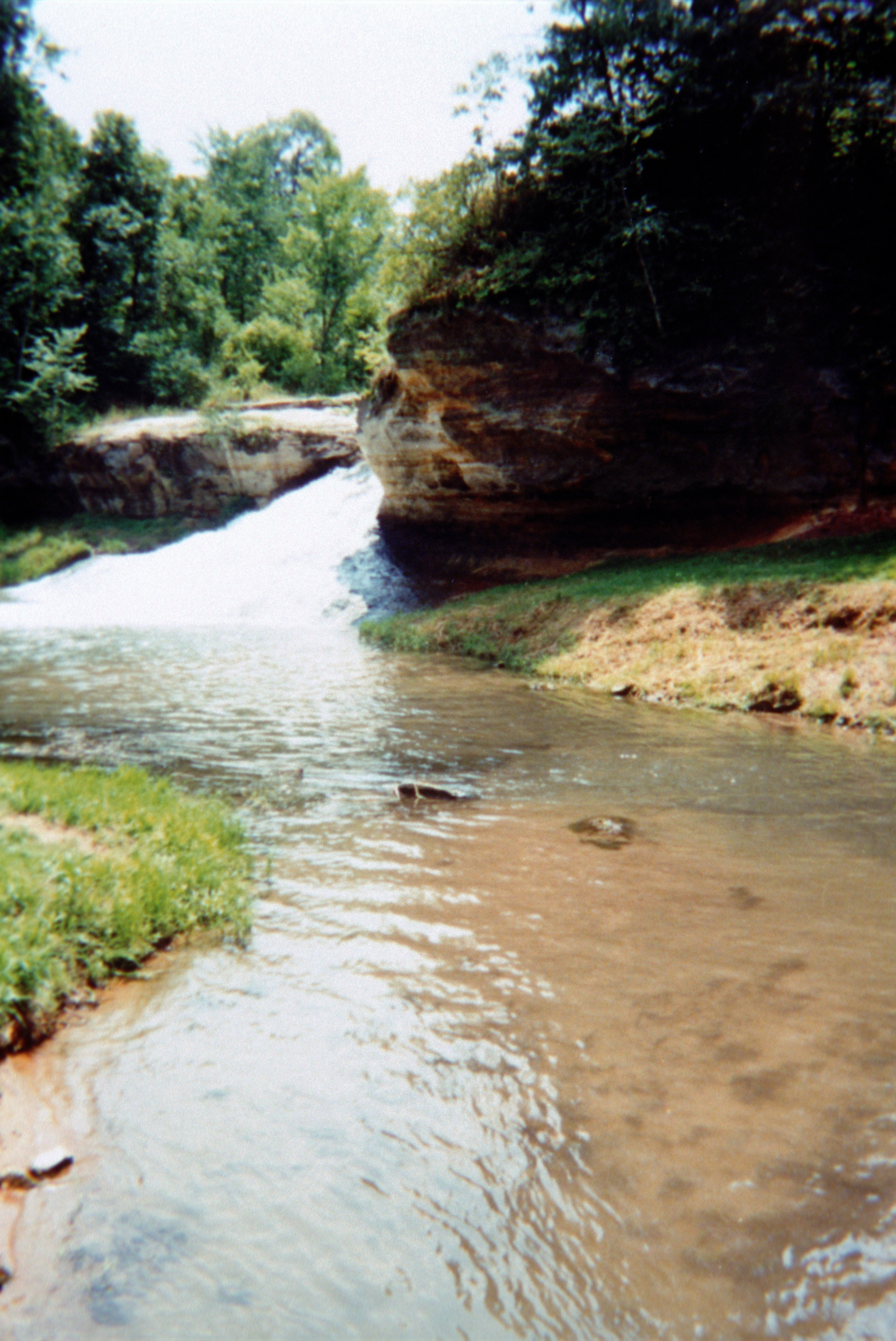
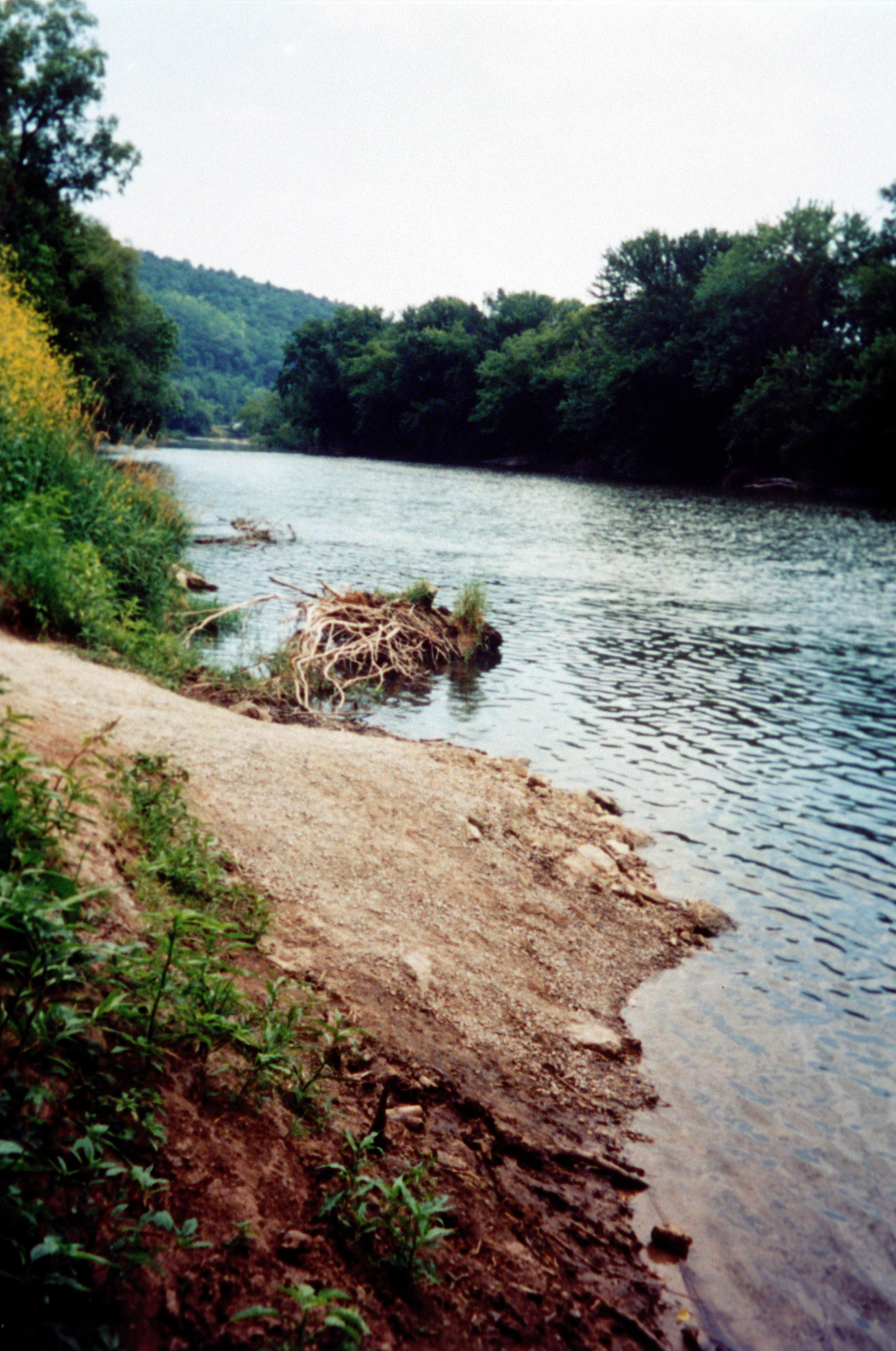
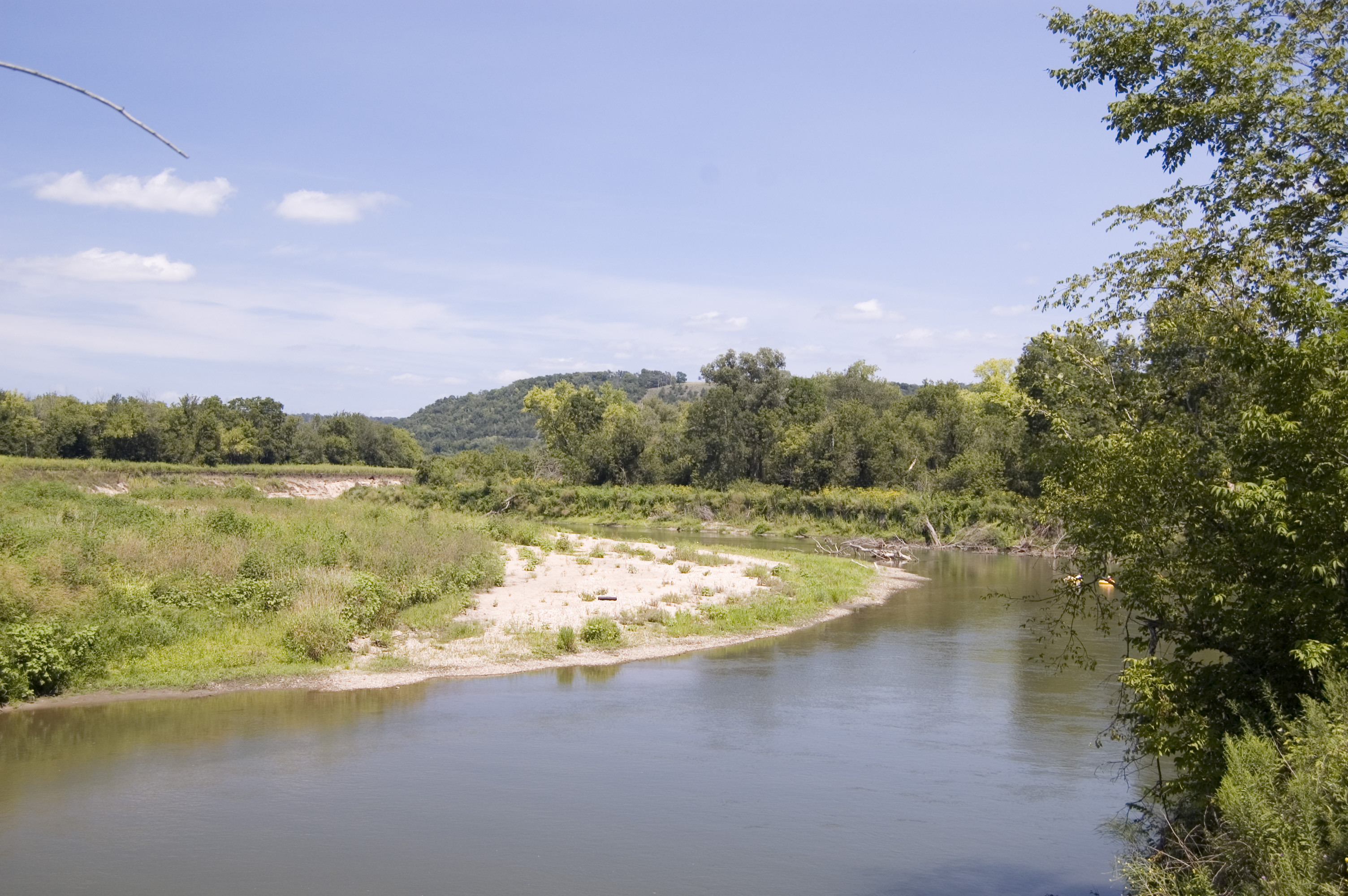
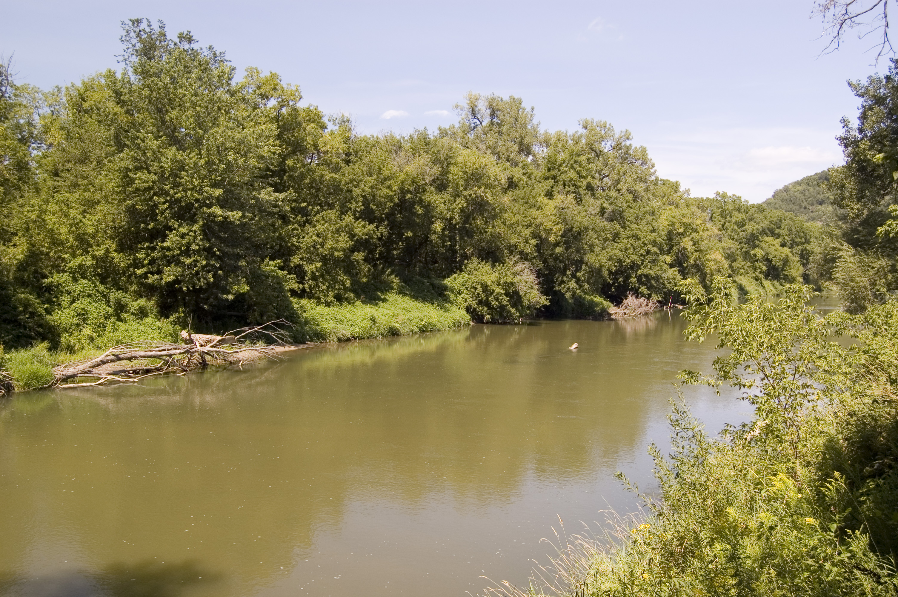
The Root River curves past a sandy area near SR 16.
Public Domain. Photo by A. E. Crane
Download Original (3008 x 2000 pixels, 1619.0 MB)
-
Green bluffs of the Root River Valley form a northern edge to a field in a wilderness management area in the Richard J. Dorer Memorial Forest just north of Hokah.
Public Domain. Photo by A. E. Crane
Download Original (3008 x 2000 pixels, 1985.4 MB)
-
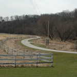
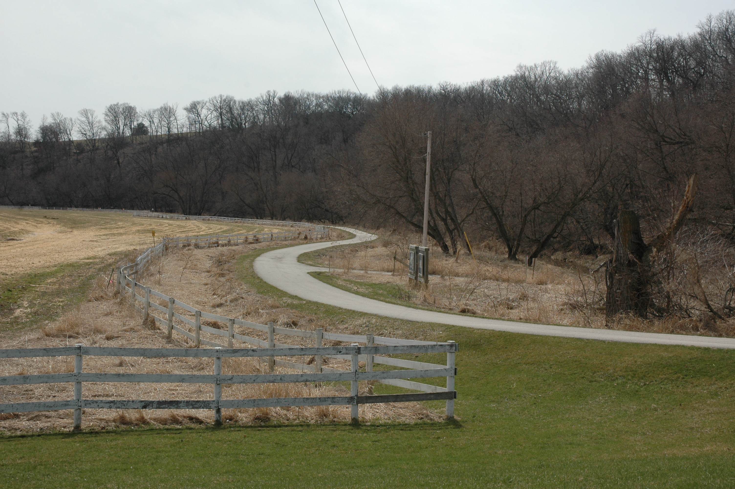
The grass is a little greener on the near side of the Harmony-Preston Trail by Preston, Minnesota.
Public Domain. Photo by A. E. Crane
Download Original (3008 x 2000 pixels, 2980.8 MB)
-
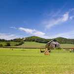
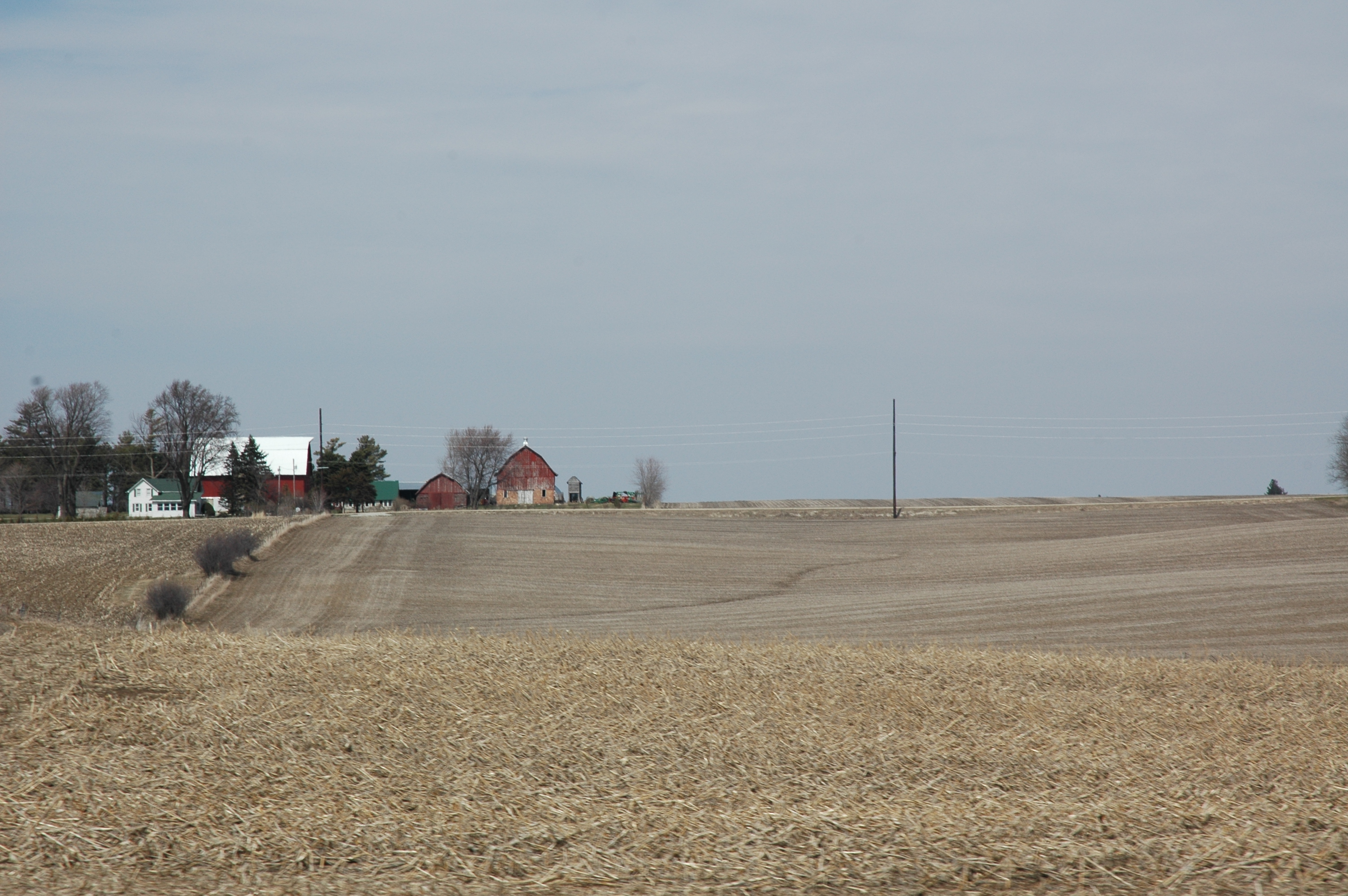
A well-kept farm is silhouetted against the skyline, along with trees still waiting for spring to come, on the hillside above the Harmony-Preston Trail near Preston, Minnesota.
Public Domain. Photo by A. E. Crane
Download Original (3008 x 2000 pixels, 2470.0 MB)
-
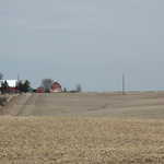
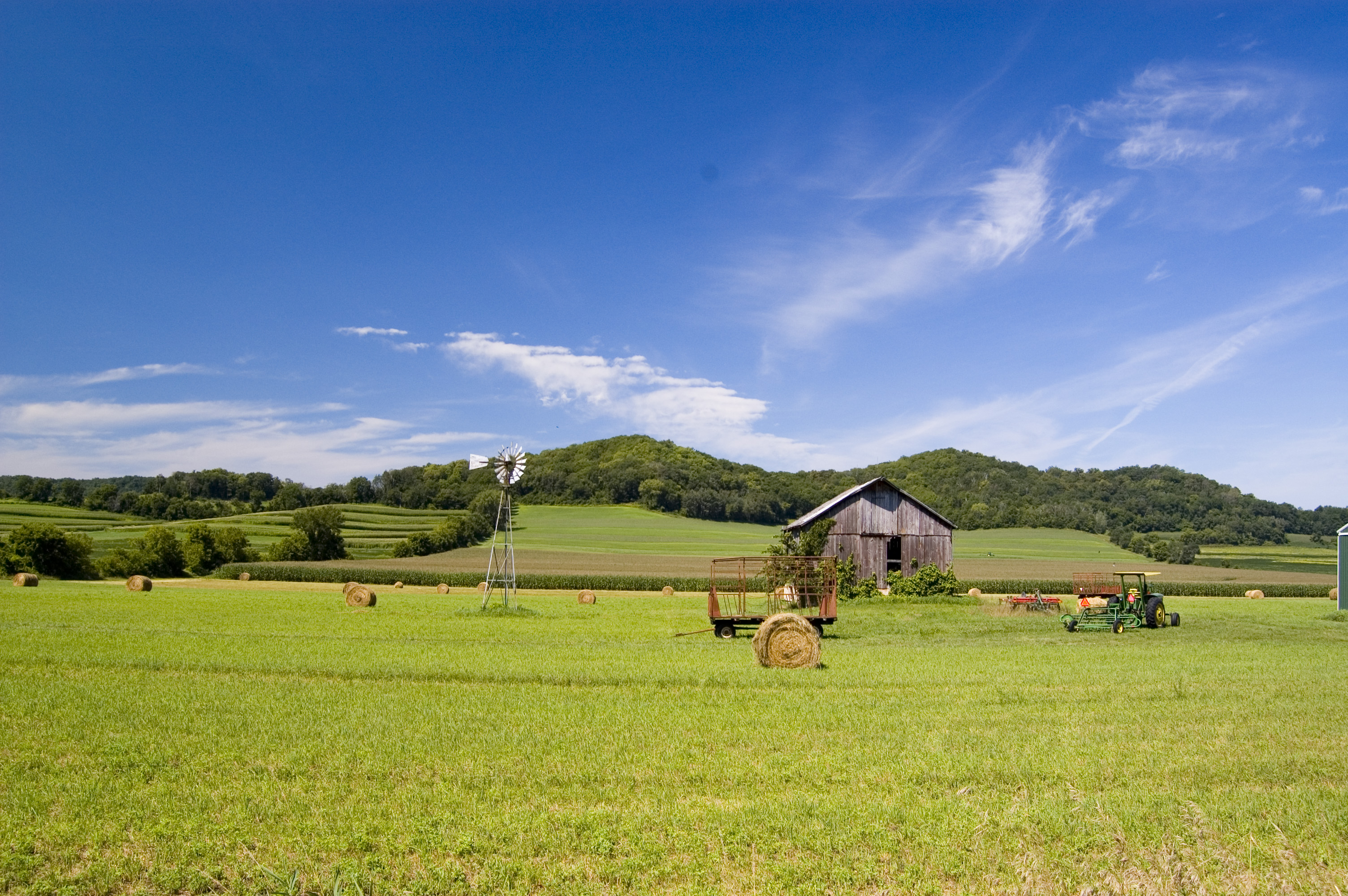
Attractive farms and fields waiting to be plowed for spring planting can be seen everywhere on the Historic Bluff Country Scenic Byway.
Public Domain. Photo by A. E. Crane
Download Original (3008 x 2000 pixels, 2375.4 MB)
-

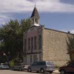
The Exchange State Bank is an architecturally significant building in the little town of Grand Meadow.
Public Domain. Photo by A. E. Crane
Download Original (3008 x 2000 pixels, 2496 MB)
-
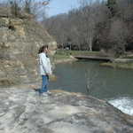
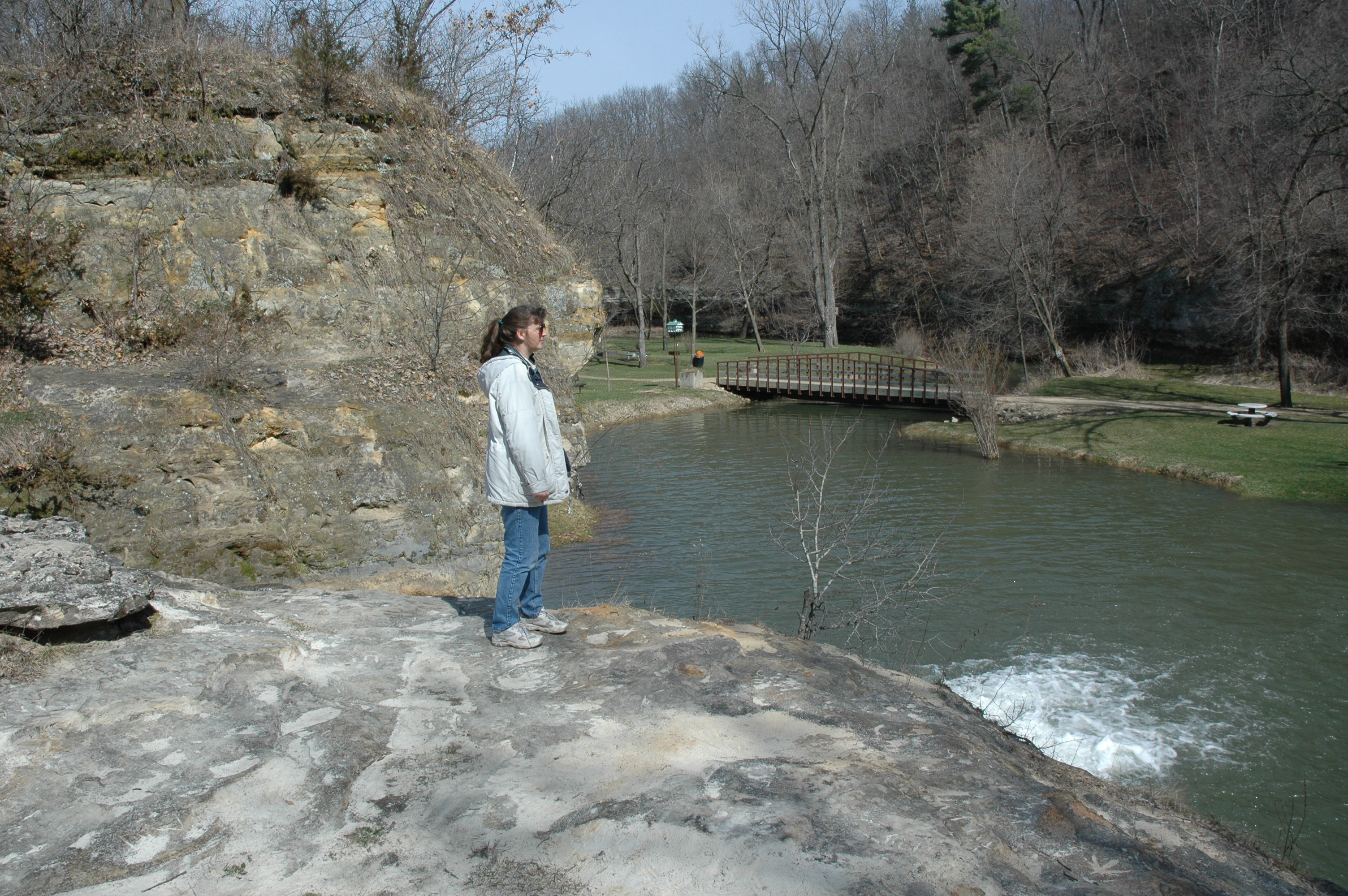
A visitor stands on the rocks over which Como Falls falls, looking down at the water and the small park.
Public Domain. Photo by A. E. Crane
Download Original (3008 x 2000 pixels, 2955.7 MB)
-
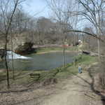
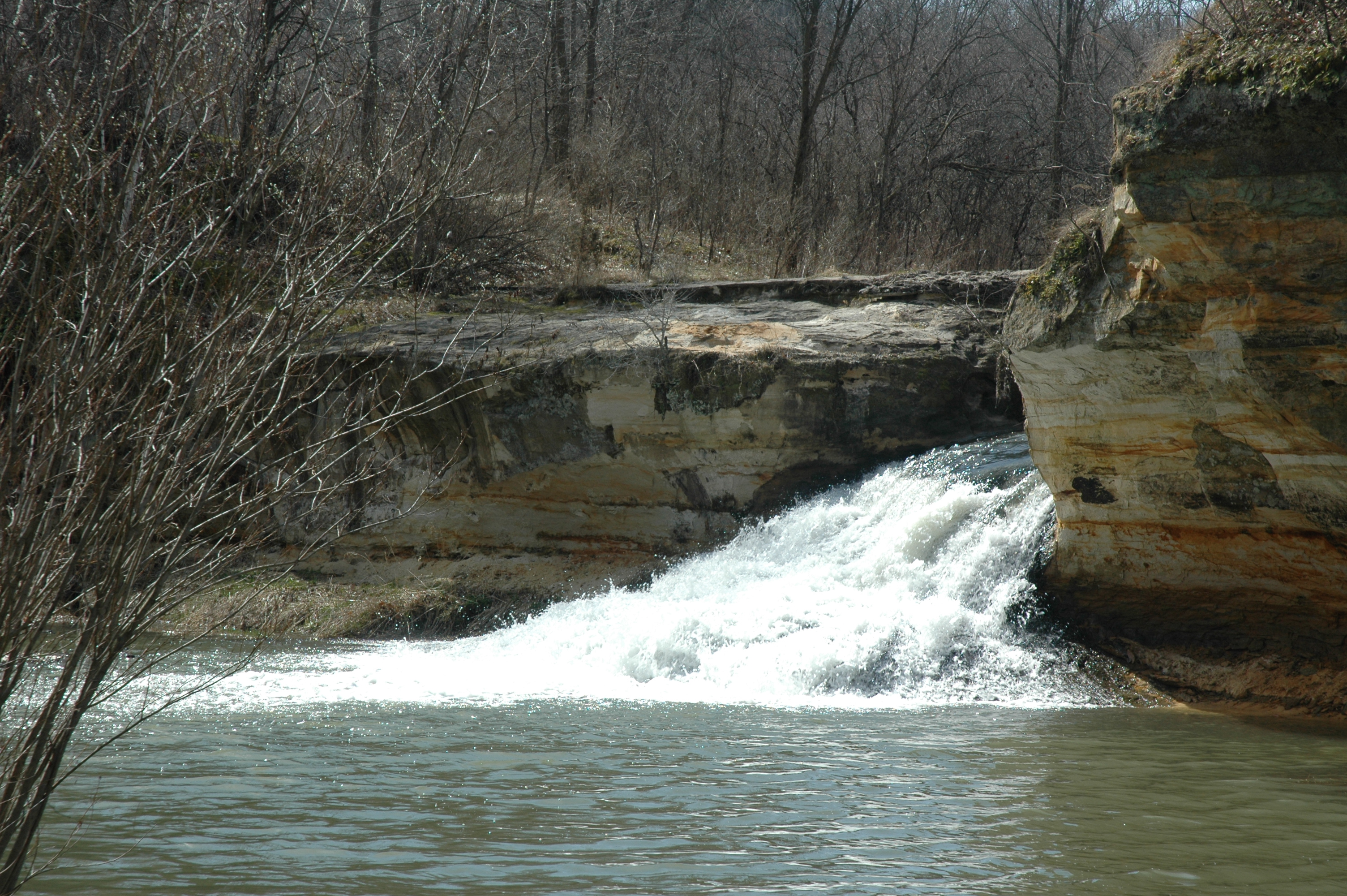
The white froth of Como Falls spills into a wide pond behind the road which descends into Como Falls Park in Hokah.
Public Domain. Photo by A. E. Crane
Download Original (3008 x 2000 pixels, 2947.7 MB)
-
A visitor enjoys a mild April morning at Como Falls State Park in Hokah.
Public Domain. Photo by A. E. Crane
Download Original (3008 x 2000 pixels, 2955.1 MB)
-
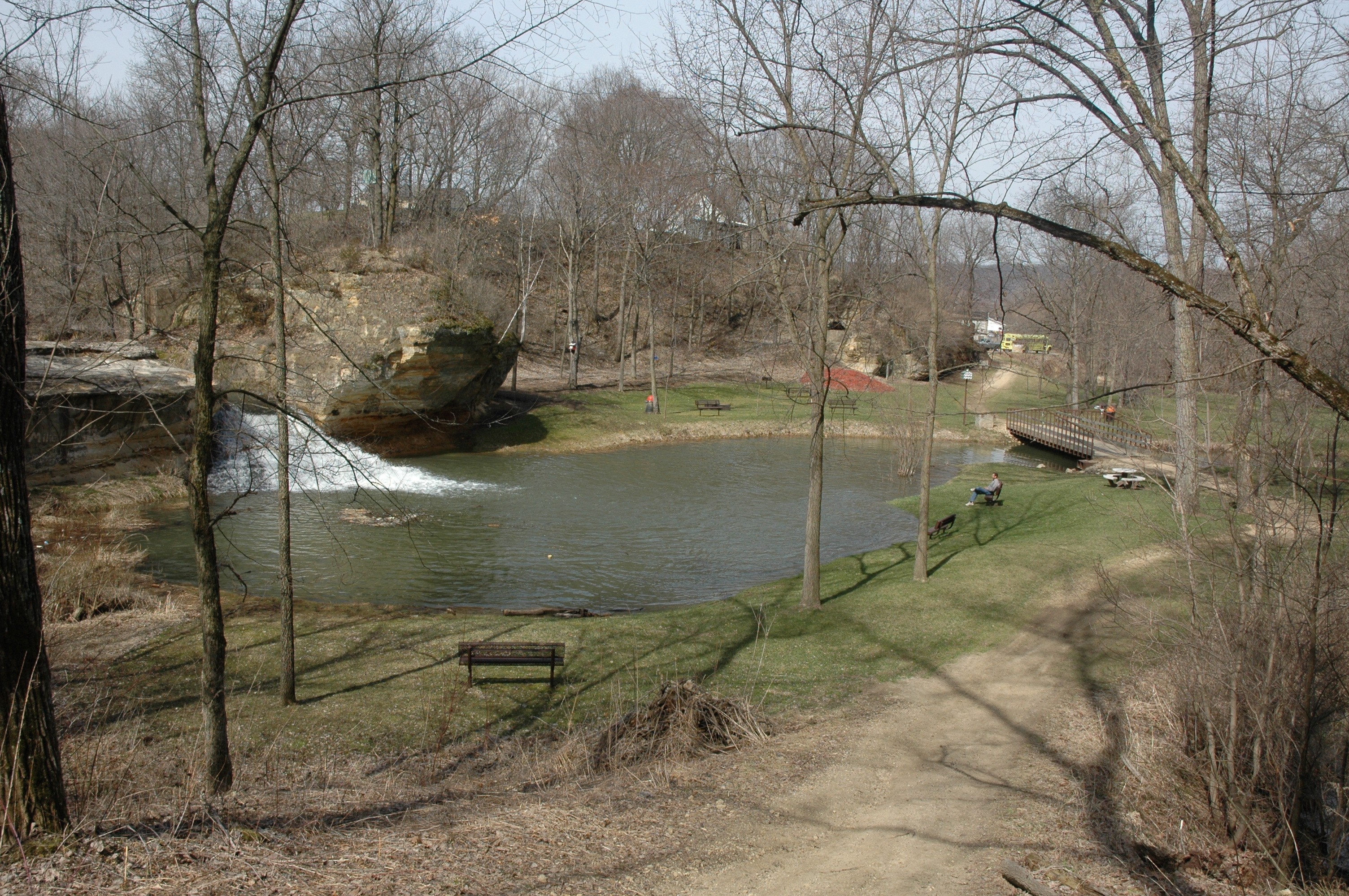
A visitor watches the white froth of Como Falls spill into a wide pond at Como Falls Park in Hokah.
Public Domain. Photo by A. E. Crane
Download Original (3008 x 2000 pixels, 2941.9 MB)
-
Como Falls in springtime before the trees and grass are green is still a pretty sight.
Public Domain. Photo by A. E. Crane
Download Original (3008 x 2000 pixels, 2976.6 MB)
-
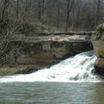
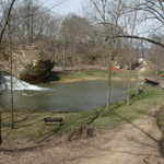
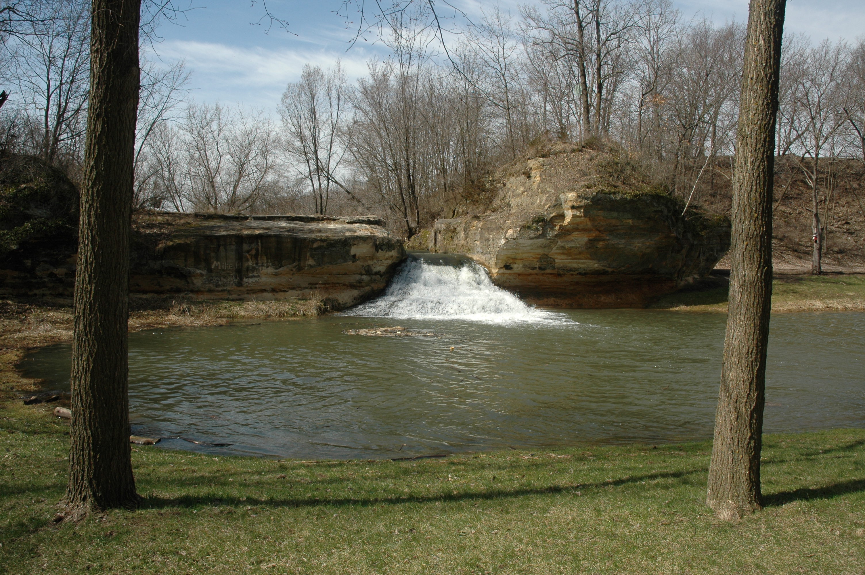
Como Falls is flush with spring runoff in early April, and flows strongly between the rounded bluffs of the park.
Public Domain. Photo by A. E. Crane
Download Original (3008 x 2000 pixels, 3316.1 MB)
-
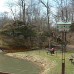
This elaborate white birdhouse with a green roof was placed in Como Falls Park in honor of the 150th anniversary of the town of Hokah. The park has at least a dozen birdhouses dangling from various trees in the park.
Public Domain. Photo by A. E. Crane
Download Original (3008 x 2000 pixels, 2935.1 MB)
-
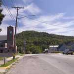
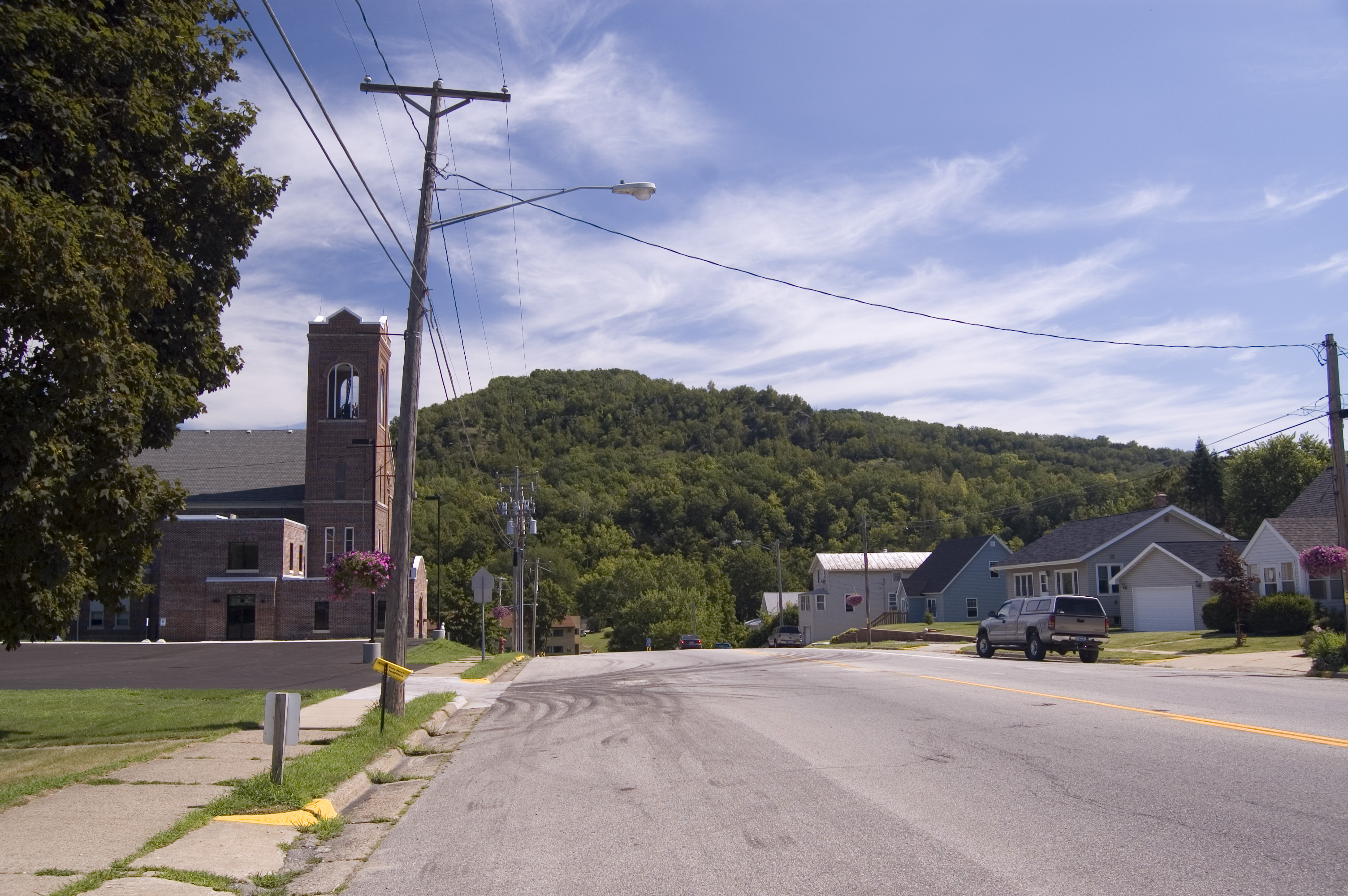
Mt. Tom stands at the end of Main Street in Hokah.
Public Domain. Photo by A. E. Crane
Download Original (3008 x 2000 pixels, 1538.9 MB)
-
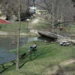
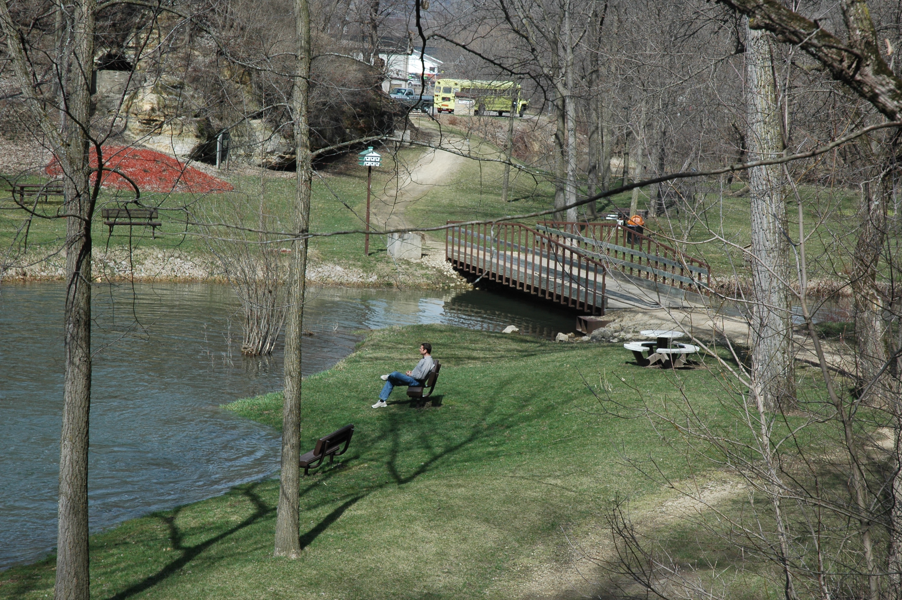
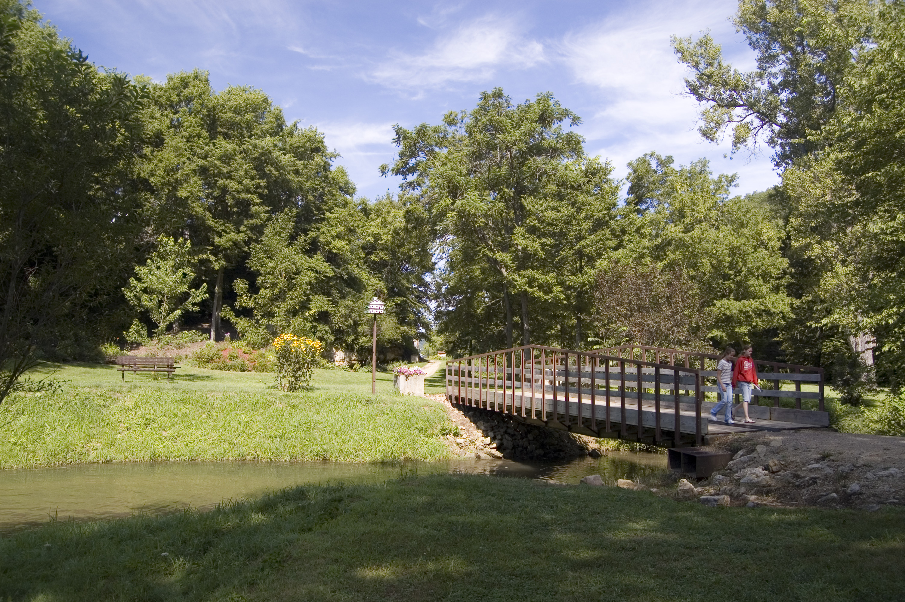
Two visitor to Como Falls walk over the Thompson Creek Bridge.
Public Domain. Photo by A. E. Crane
Download Original (3008 x 2000 pixels, 2537.1 MB)
-
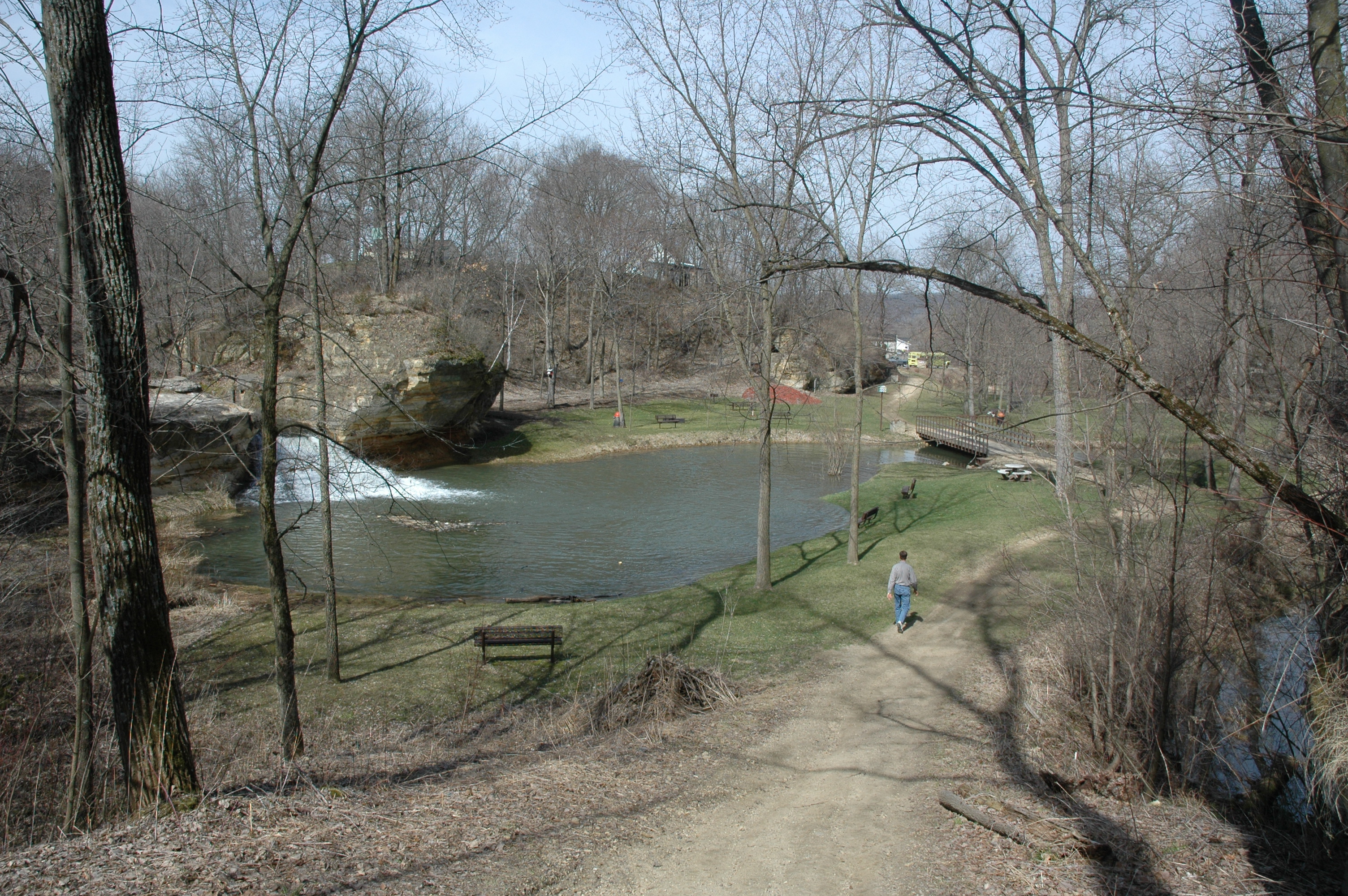
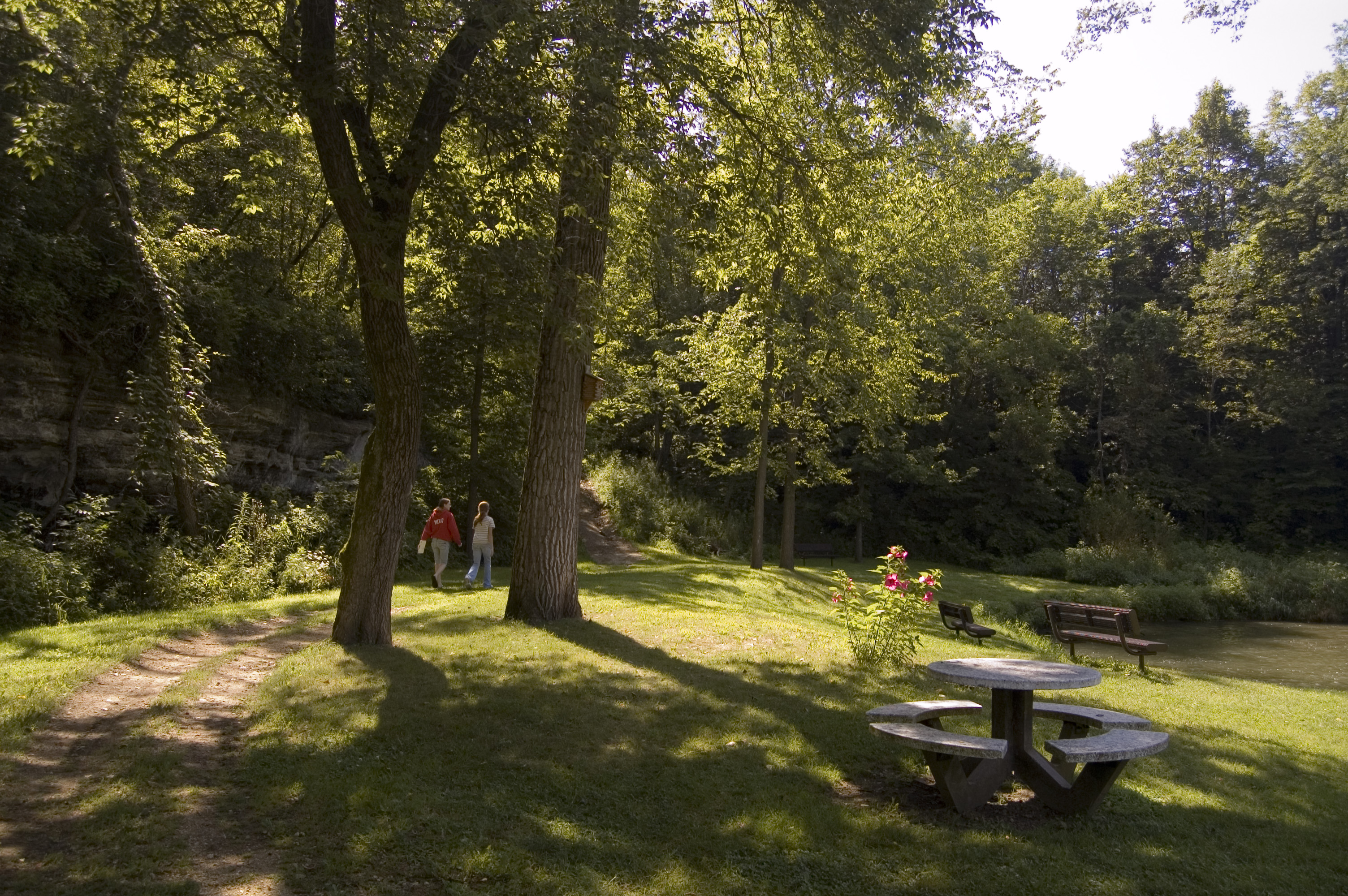
Hikers take the southern path out of Como Falls Park in summer.
Public Domain. Photo by A. E. Crane
Download Original (3008 x 2000 pixels, 2538.2 MB)
-
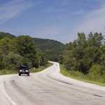
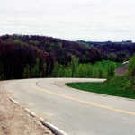
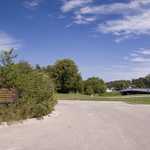
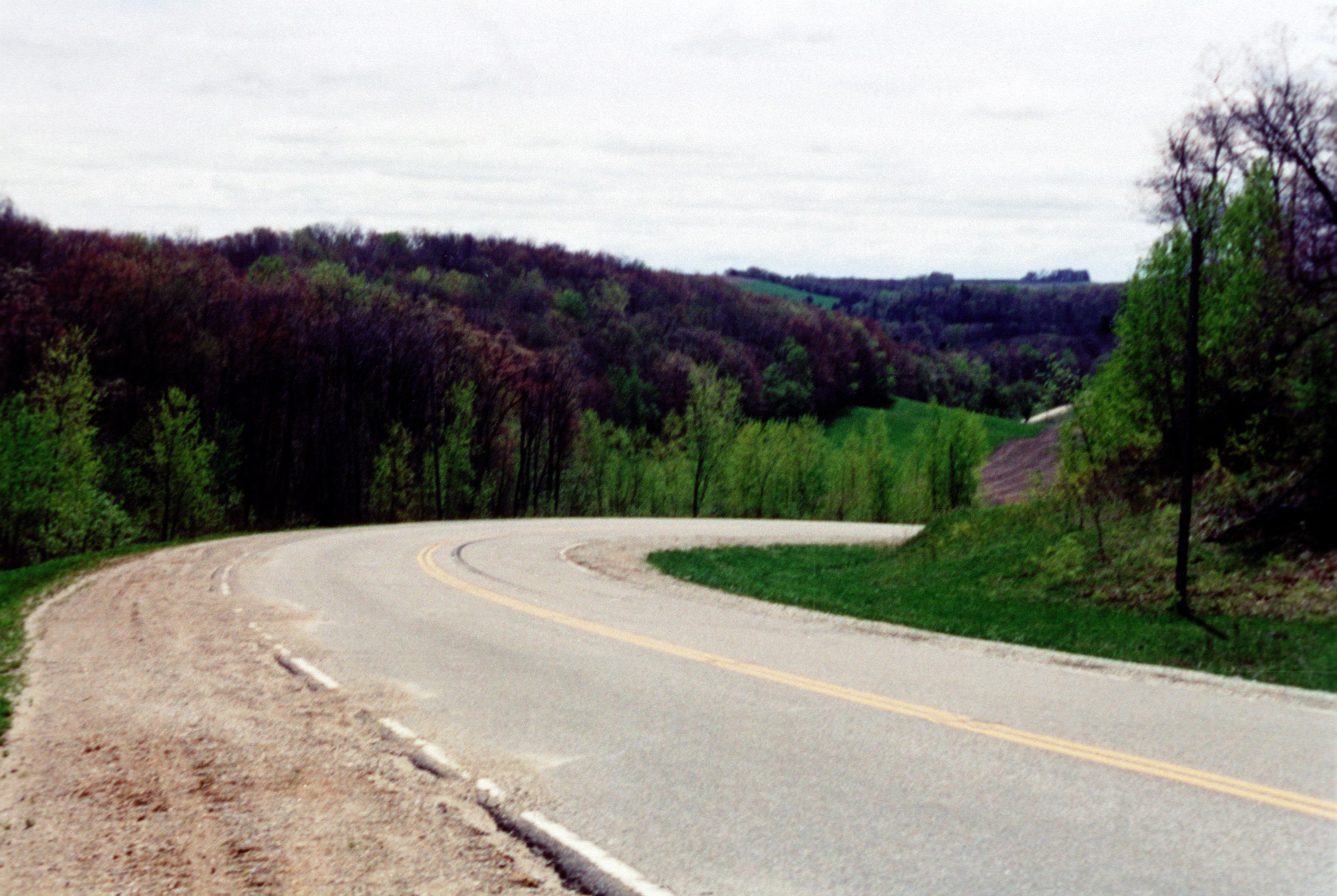
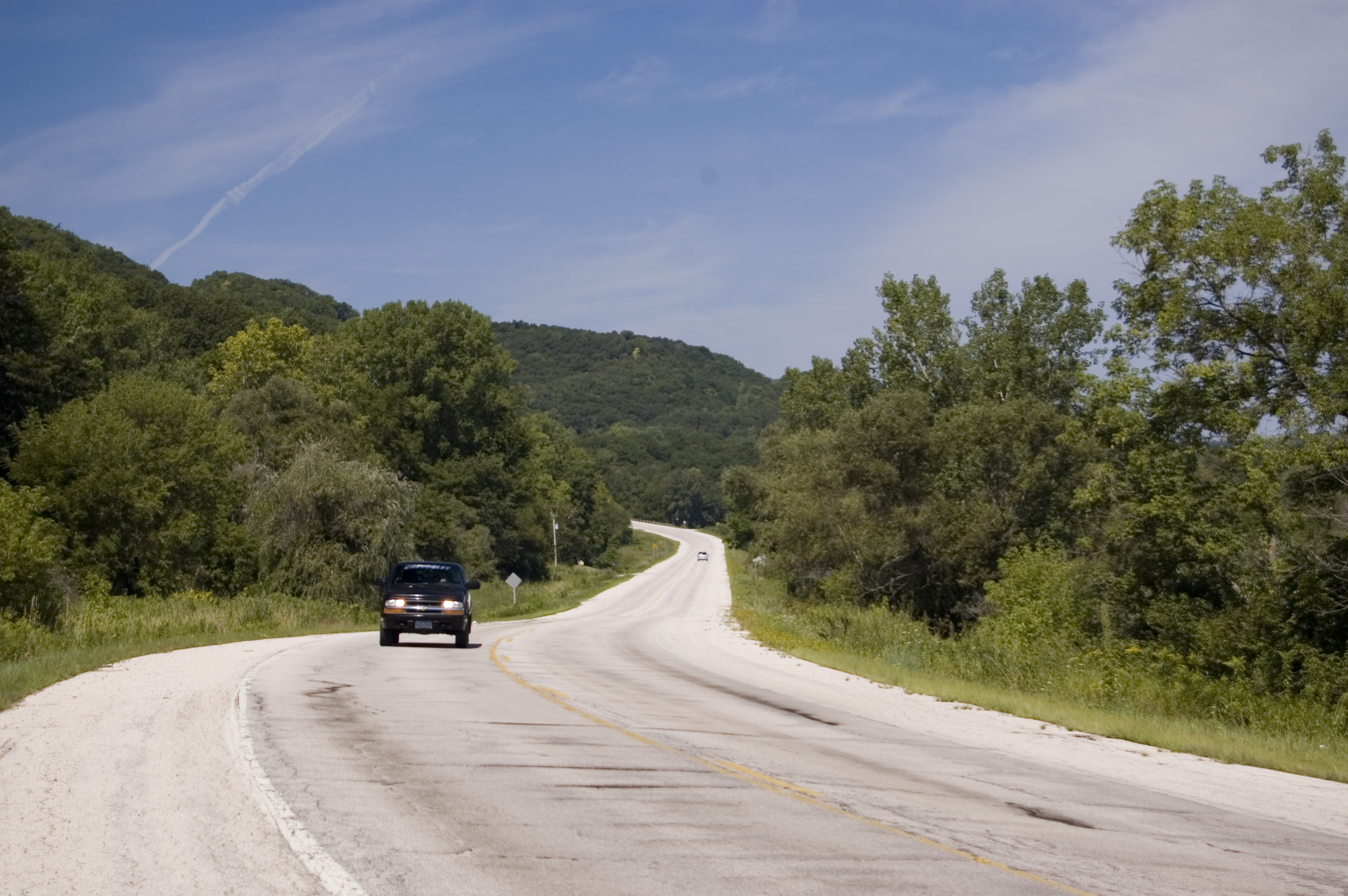
A car approaches on the Historic Bluff Country Scenic Byway near the Mound Prairie Scientific and Natural Area.
Public Domain. Photo by A. E. Crane
Download Original (3008 x 2000 pixels, 1181.6 MB)
-
Garden areas present a natural setting for art of a cycling persuasion outside the Nature Center on the Root River Trail in Houston.
Public Domain. Photo by A. E. Crane
Download Original (3008 x 2000 pixels, 1695.6 MB)
-

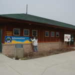
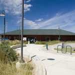
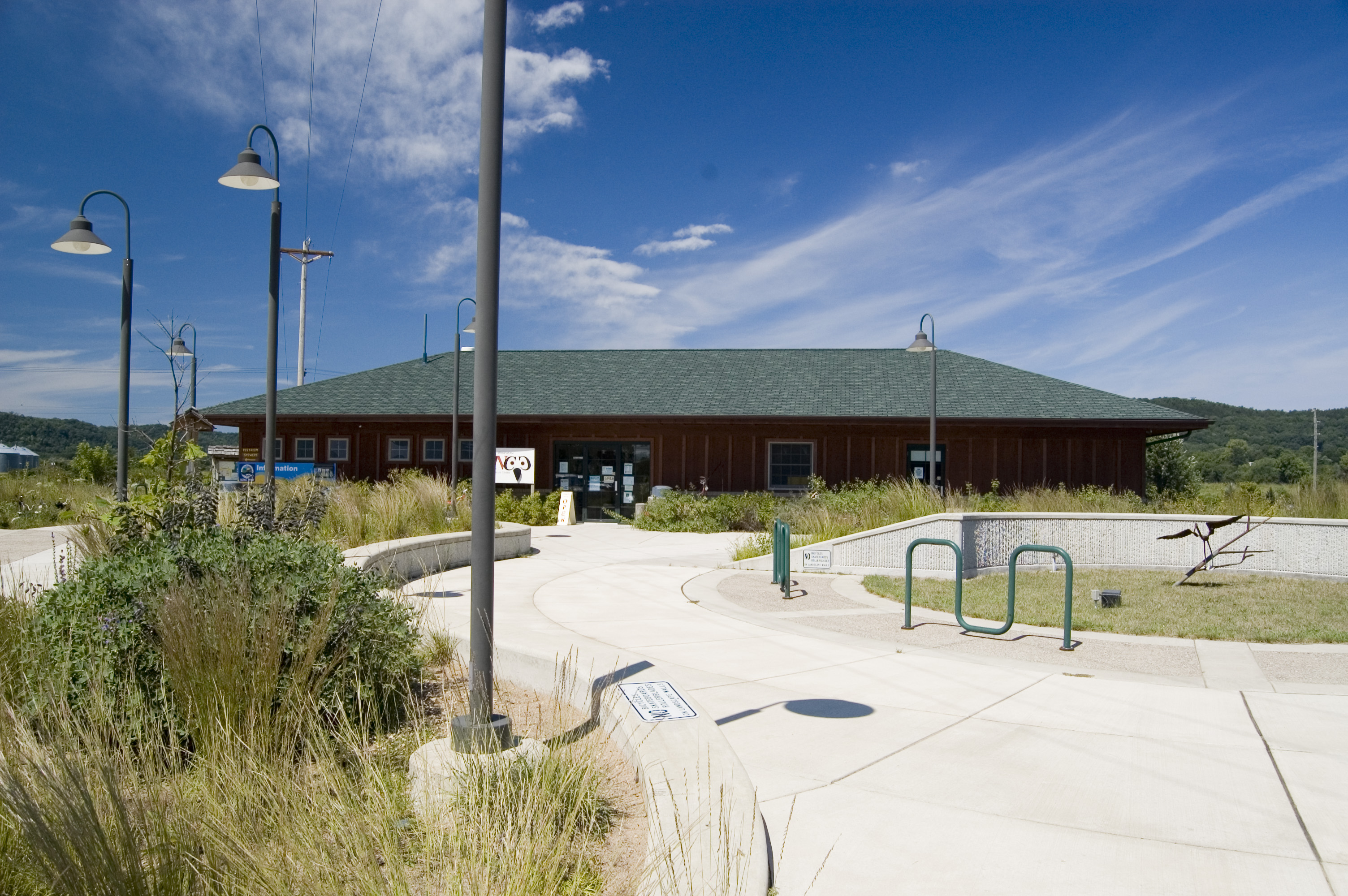
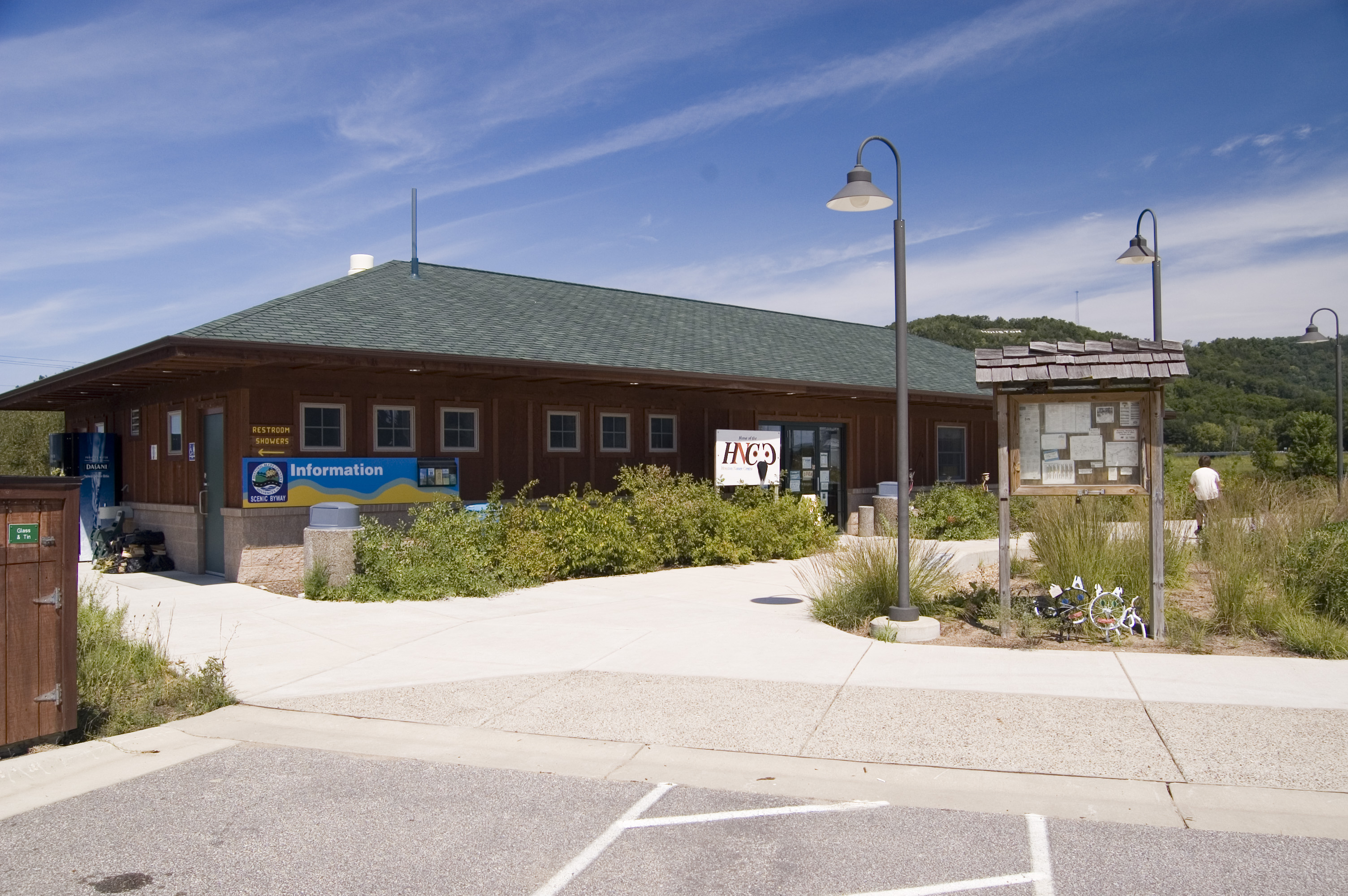
The Houston Nature Center welcomes visitors, bikers and hikers to use its facilities for a day on the Root River Trail.
Public Domain. Photo by A. E. Crane
Download Original (3008 x 2000 pixels, 1621.9 MB)
-
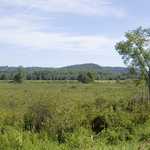
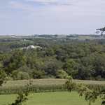
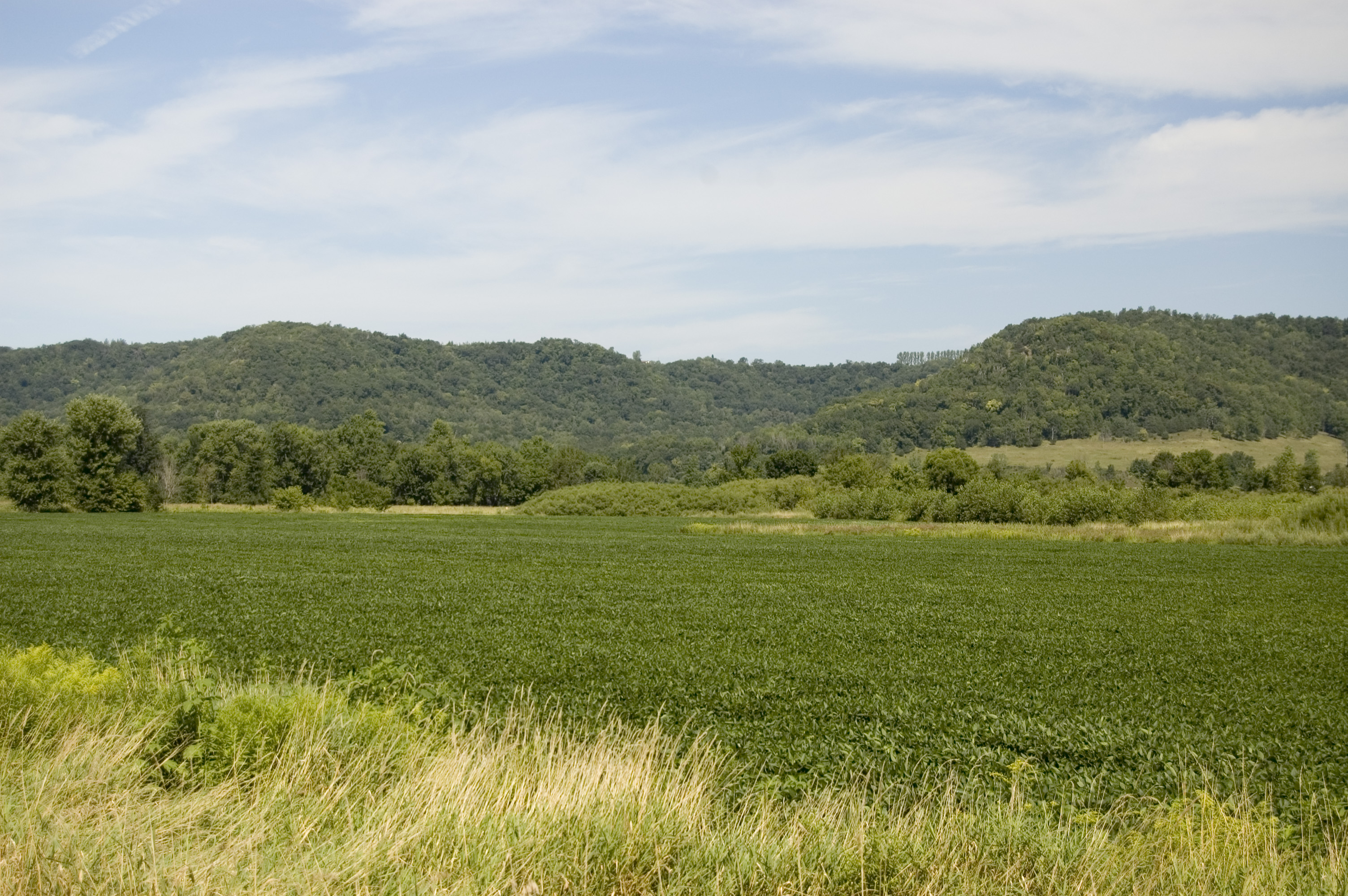
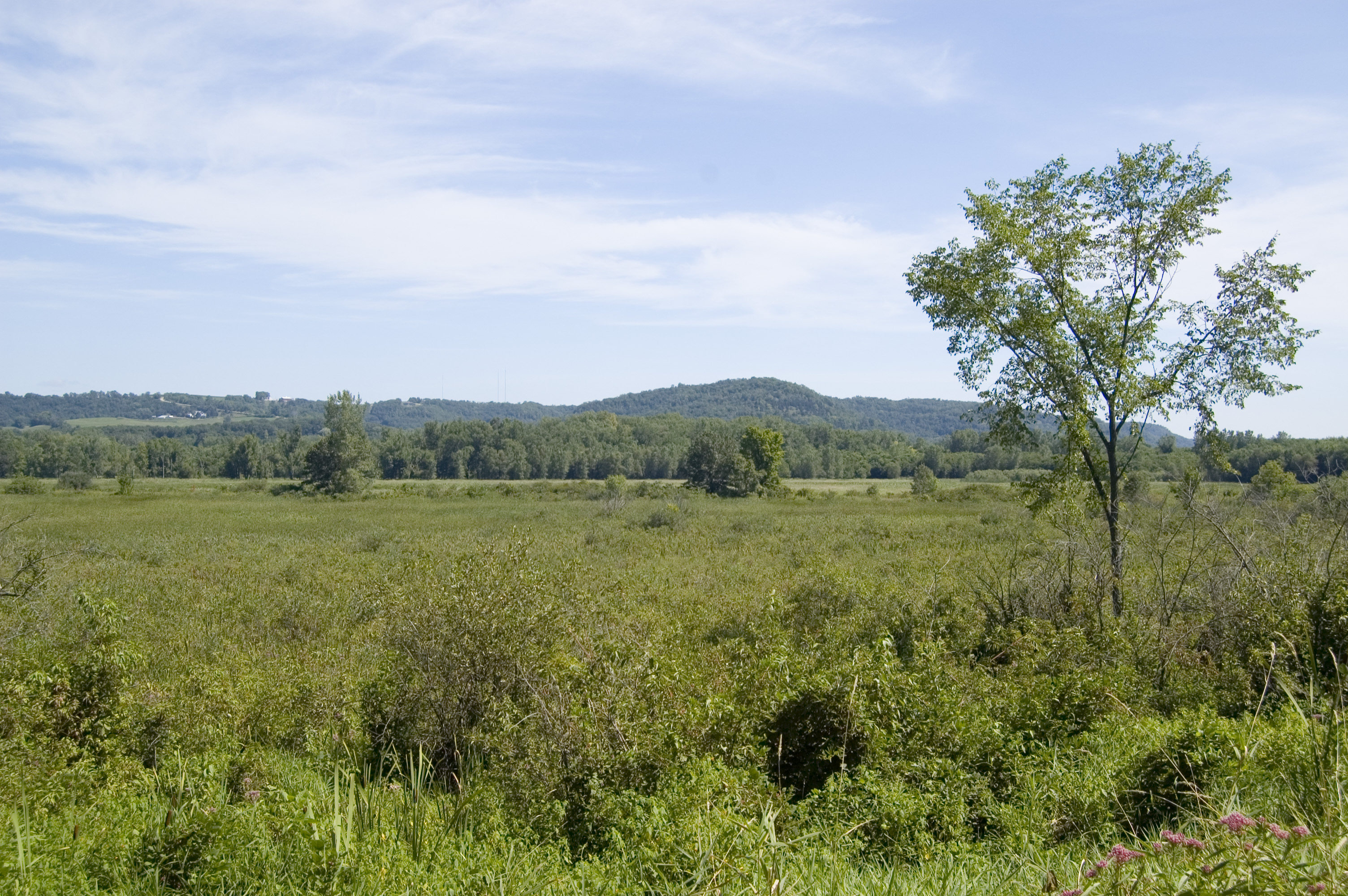
Green fields dotted with brush and trees stretch across the Root River valley near the Mound Prairie Scientific and Natural Area. The bluffs in the distance are part of the Richard J. Dorer Memorial Forest.
Public Domain. Photo by A. E. Crane
Download Original (3008 x 2000 pixels, 2386.4 MB)
-
A scattering of clouds enlivens the sky above a pastoral scene near the Mound Prairie Scientific and Natural Area on the Historic Bluffs Country Scenic Byway.
Public Domain. Photo by A. E. Crane
Download Original (3008 x 2000 pixels, 2290.1 MB)
-
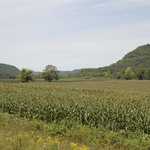
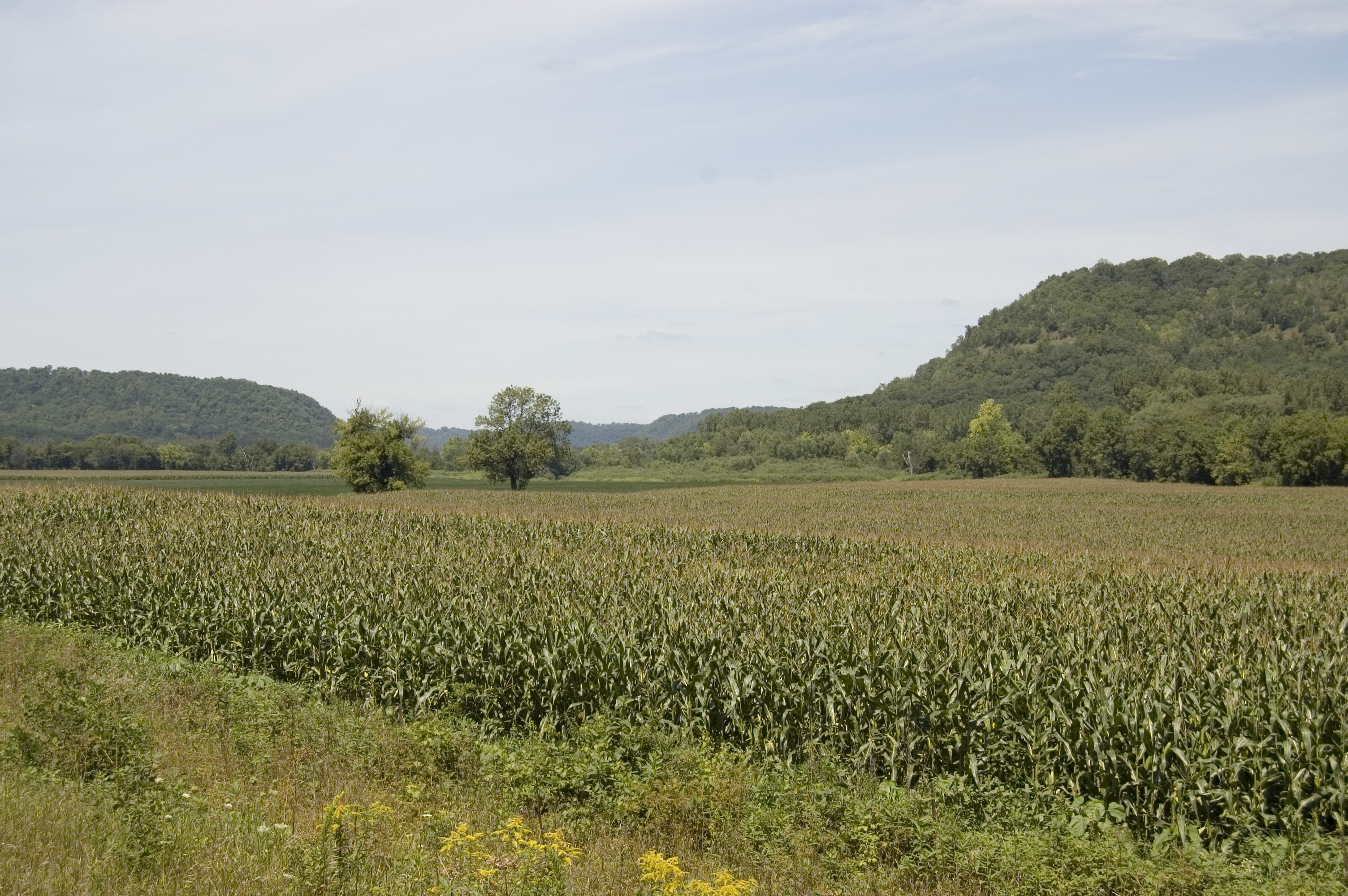
In the Root River Valley, agricultural fields of corn like this one, or other crops are raised in the level valley between the high forested bluffs.
Public Domain. Photo by A. E. Crane
Download Original (3008 x 2000 pixels, 2178.0 MB)
-
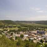
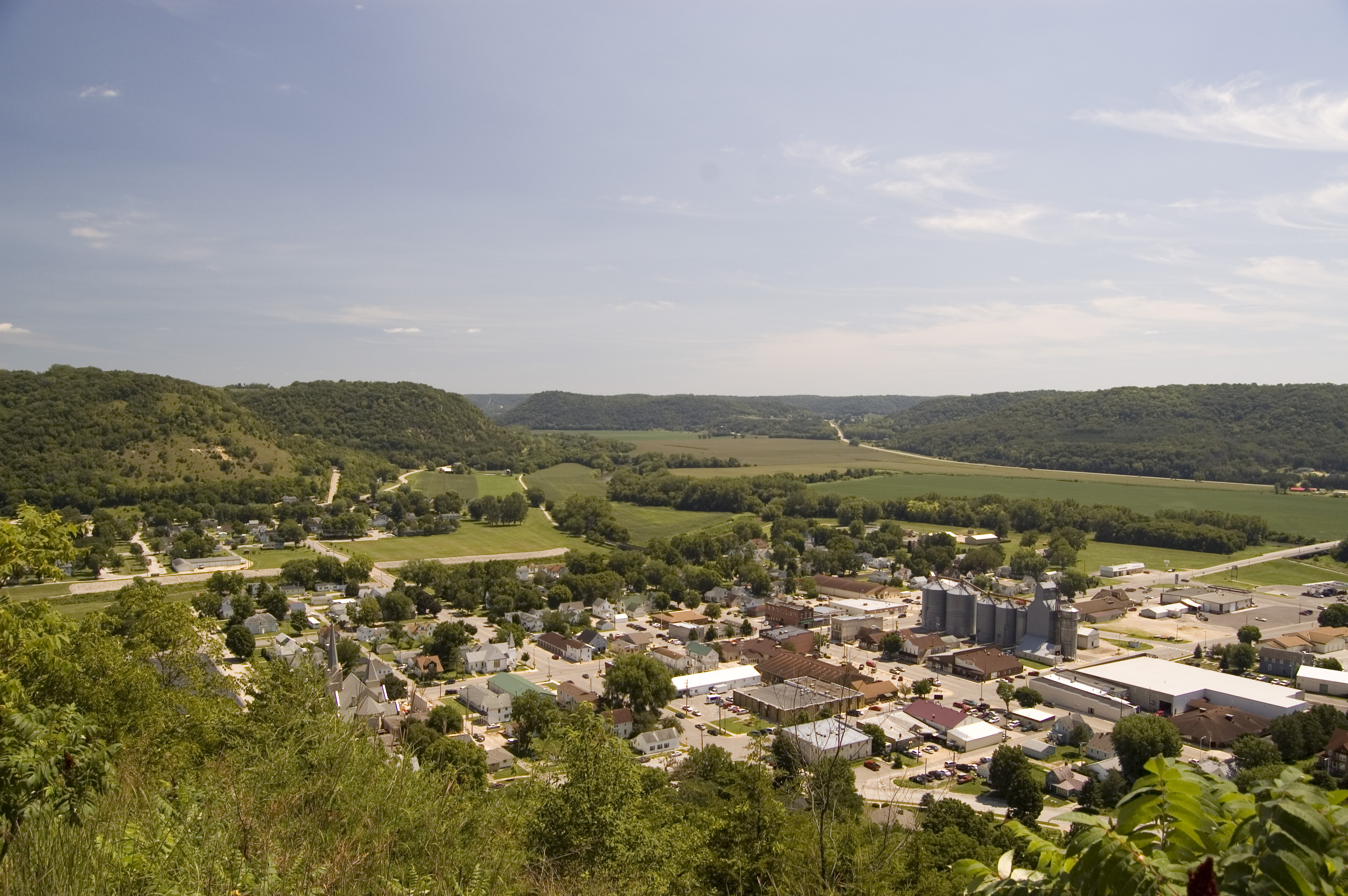
The city of Rushford and the Root River Valley spread below Magelssen Park.
Public Domain. Photo by A. E. Crane
Download Original (3008 x 2000 pixels, 1637.3 MB)
-
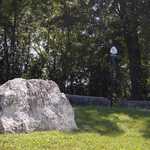
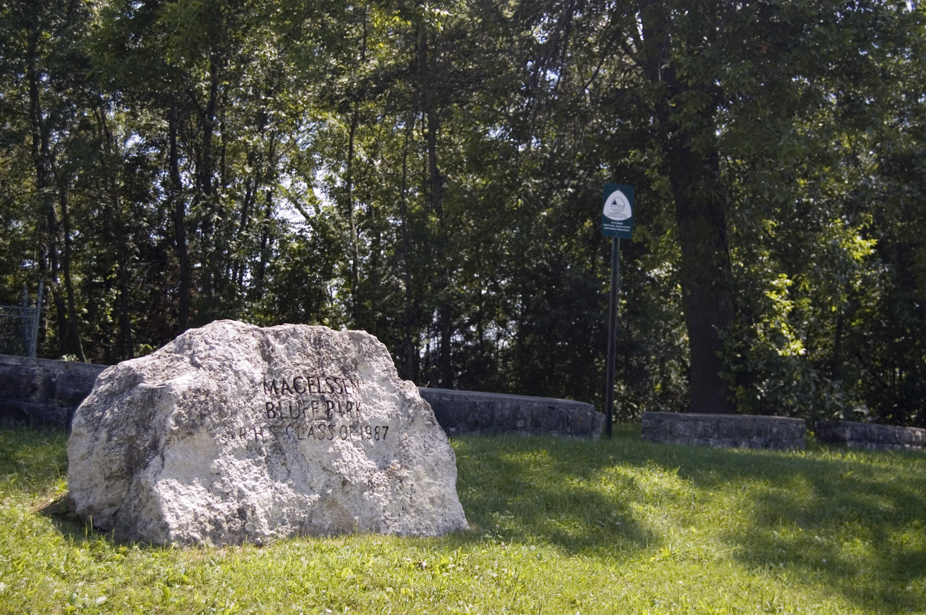
A huge boulder from the Class of 1987 names this park on a bluff high above Rushford as Magelssen Park.
Public Domain. Photo by A. E. Crane
Download Original (3008 x 2000 pixels, 1806.2 MB)
-
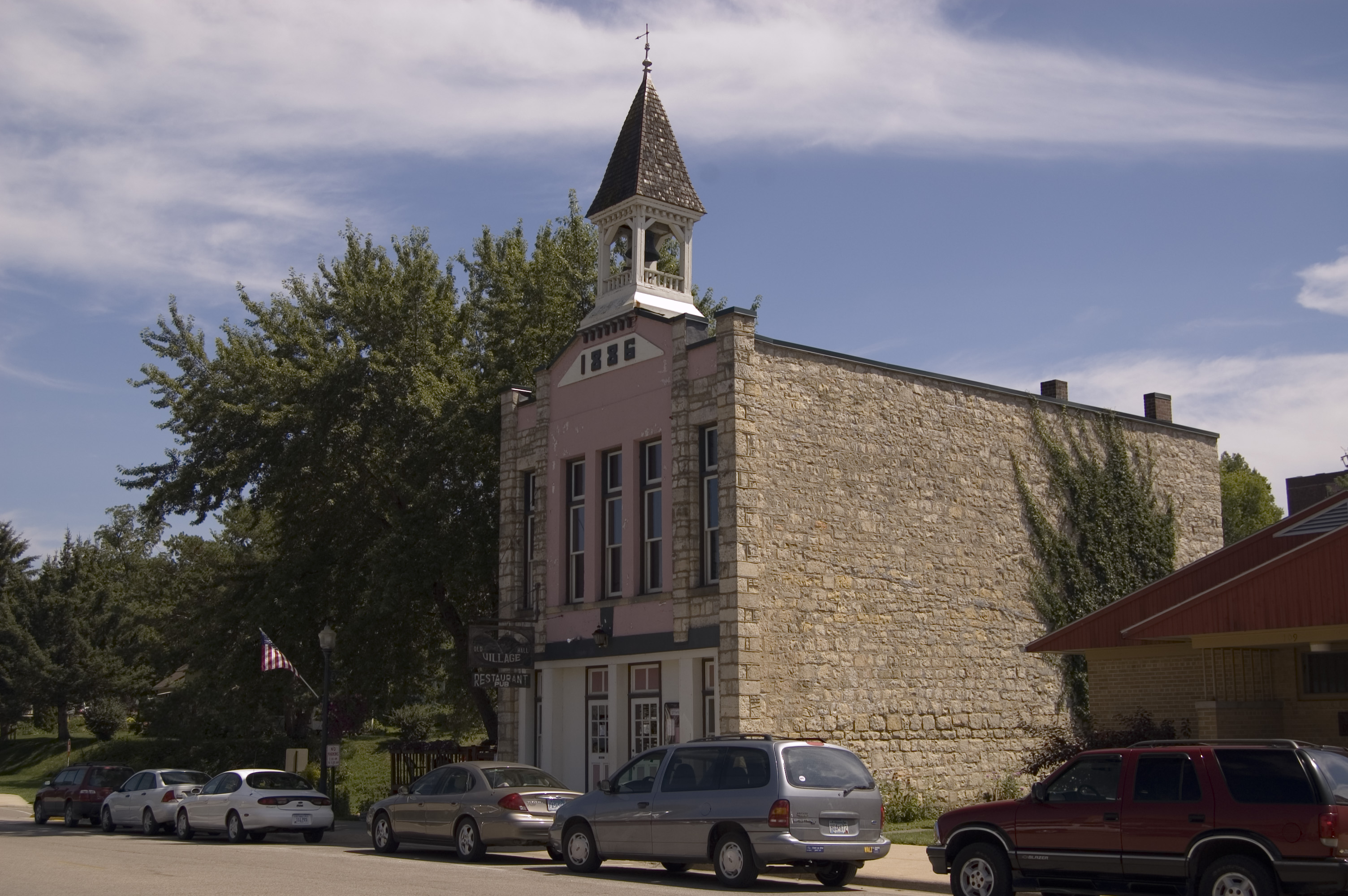
A gift shop now does business in a restored and turreted historic building in Lanesboro, perhaps once a fire station or schoolhouse.
Public Domain. Photo by A. E. Crane
Download Original (3008 x 2000 pixels, 1249.9 MB)
-

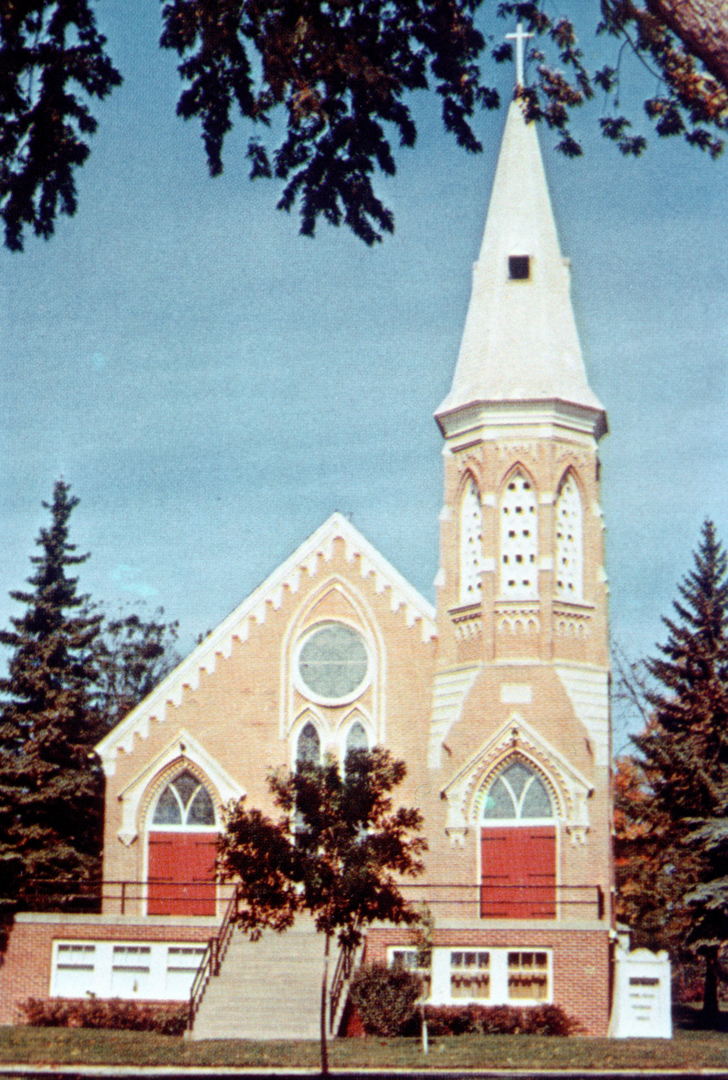
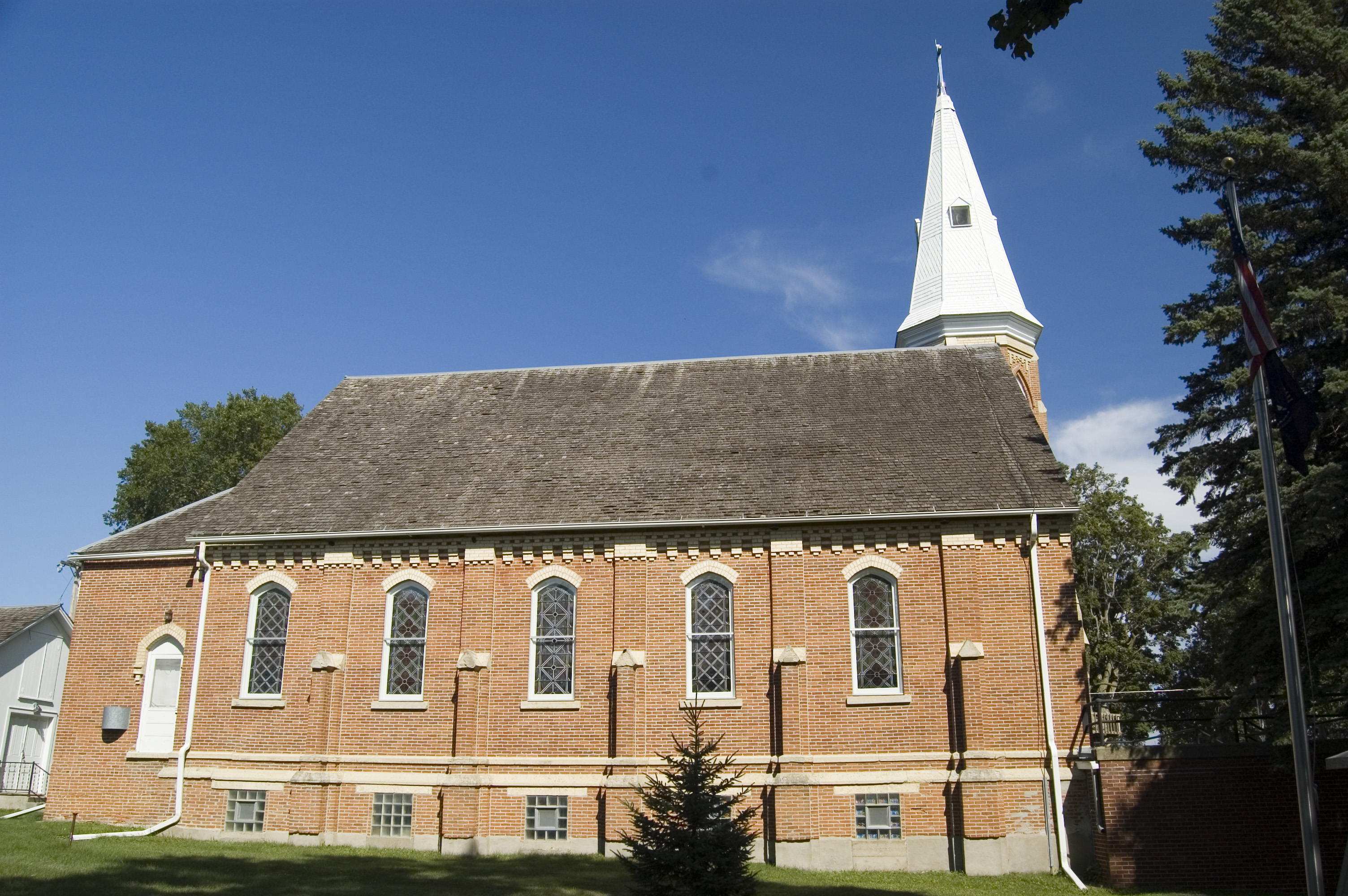
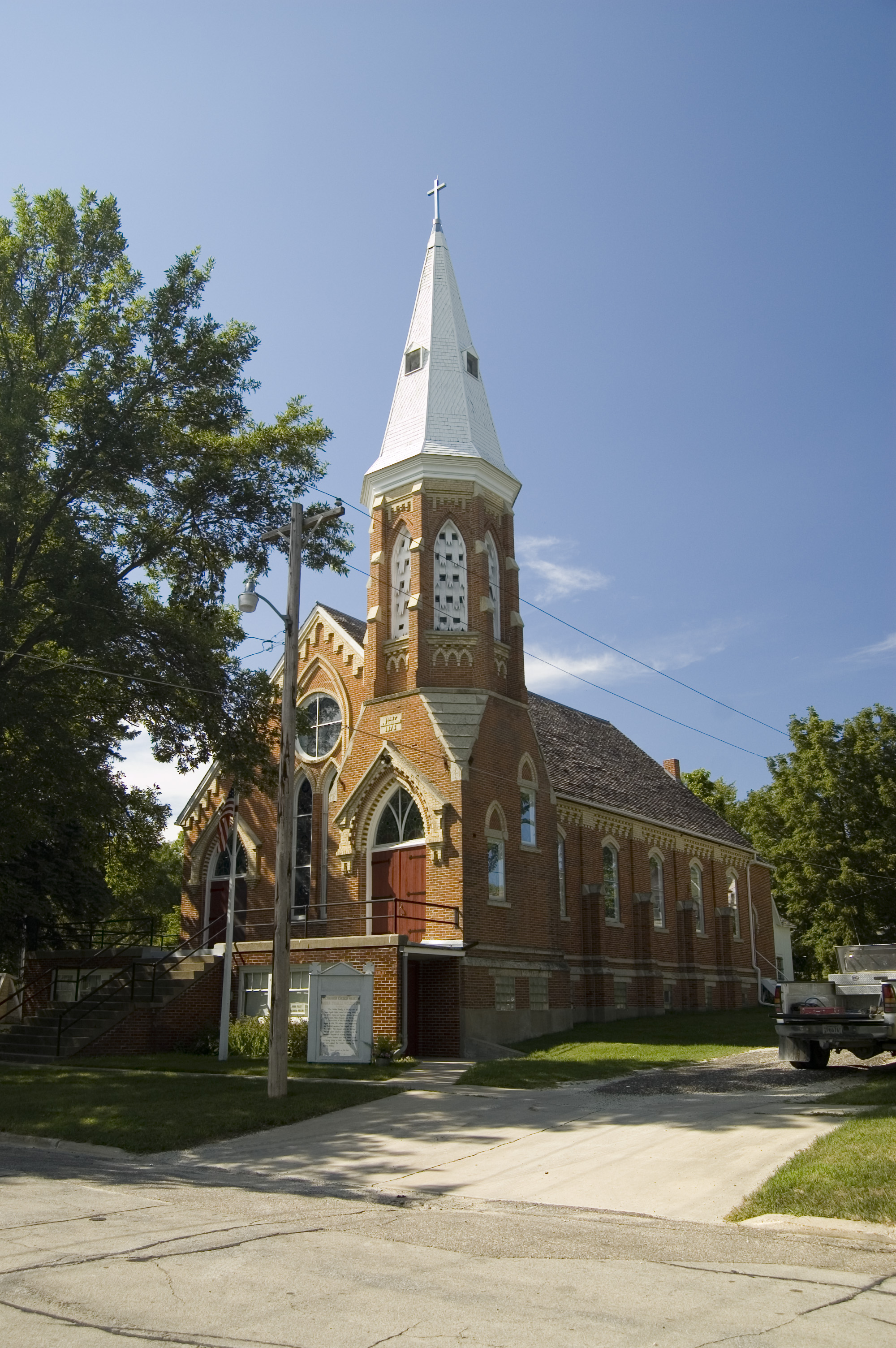
The church shines in the afternoon sun on a summer's day in Spring Valley.
Public Domain. Photo by A. E. Crane
Download Original (3008 x 2000 pixels, 1967.1 MB)
-

The decorative tower of the Spring Valley Methodist Church reaches toward the sky.
Public Domain. Photo by A. E. Crane
Download Original (3008 x 2000 pixels, 1808.4 MB)
-

One of several Laura Ingalls Wilder sites in this area, the Spring Valley Methodist Church also has a museum open to the public.
Public Domain. Photo by A. E. Crane
Download Original (2000 x 3008 pixels, 1649.9 MB)
-

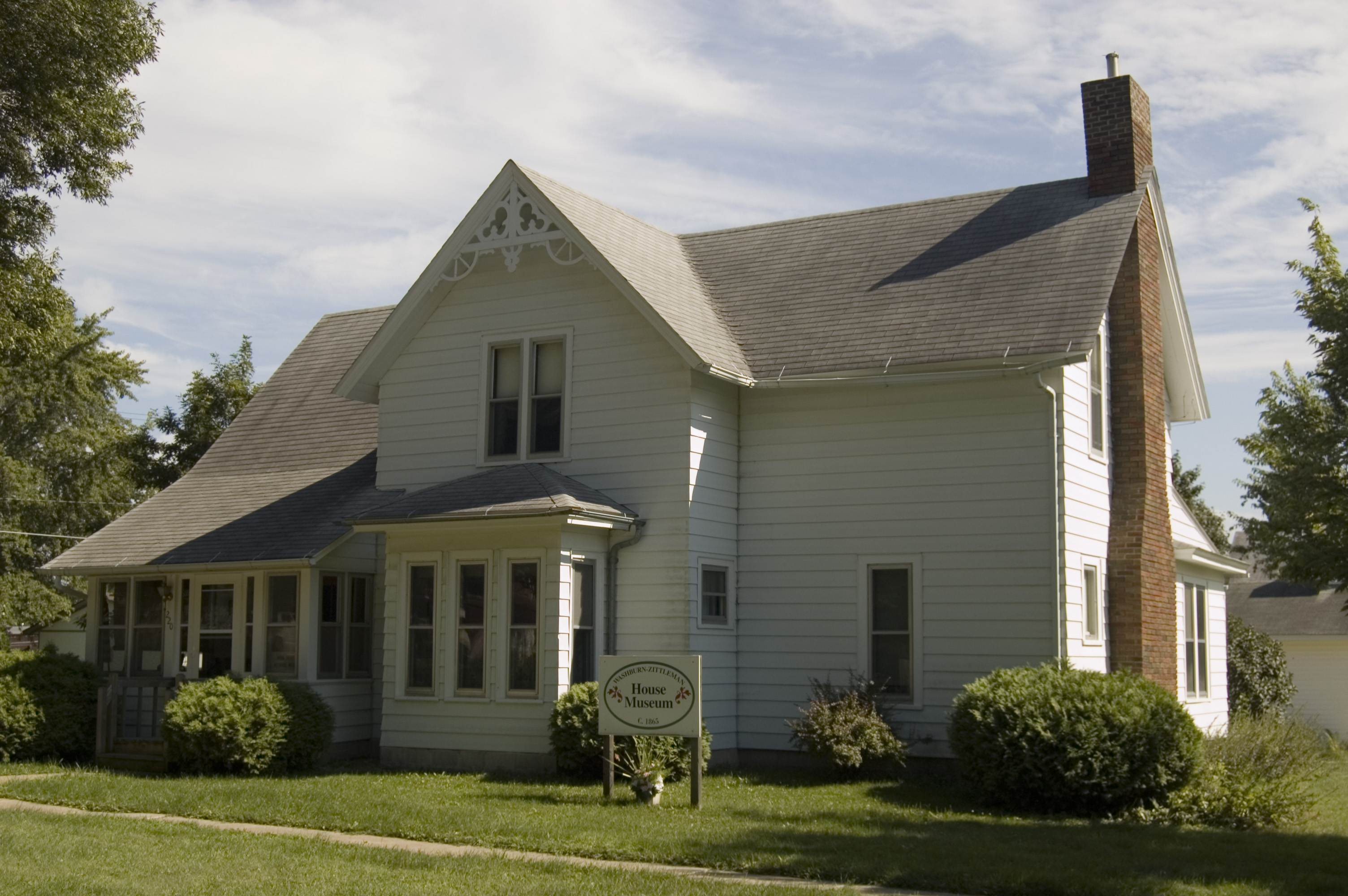
The Washburn-Zittleman House hosts a museum, and is located across the street to the south from the Spring Valley Methodist Church.
Public Domain. Photo by A. E. Crane
Download Original (3008 x 2000 pixels, 1135.1 MB)
-

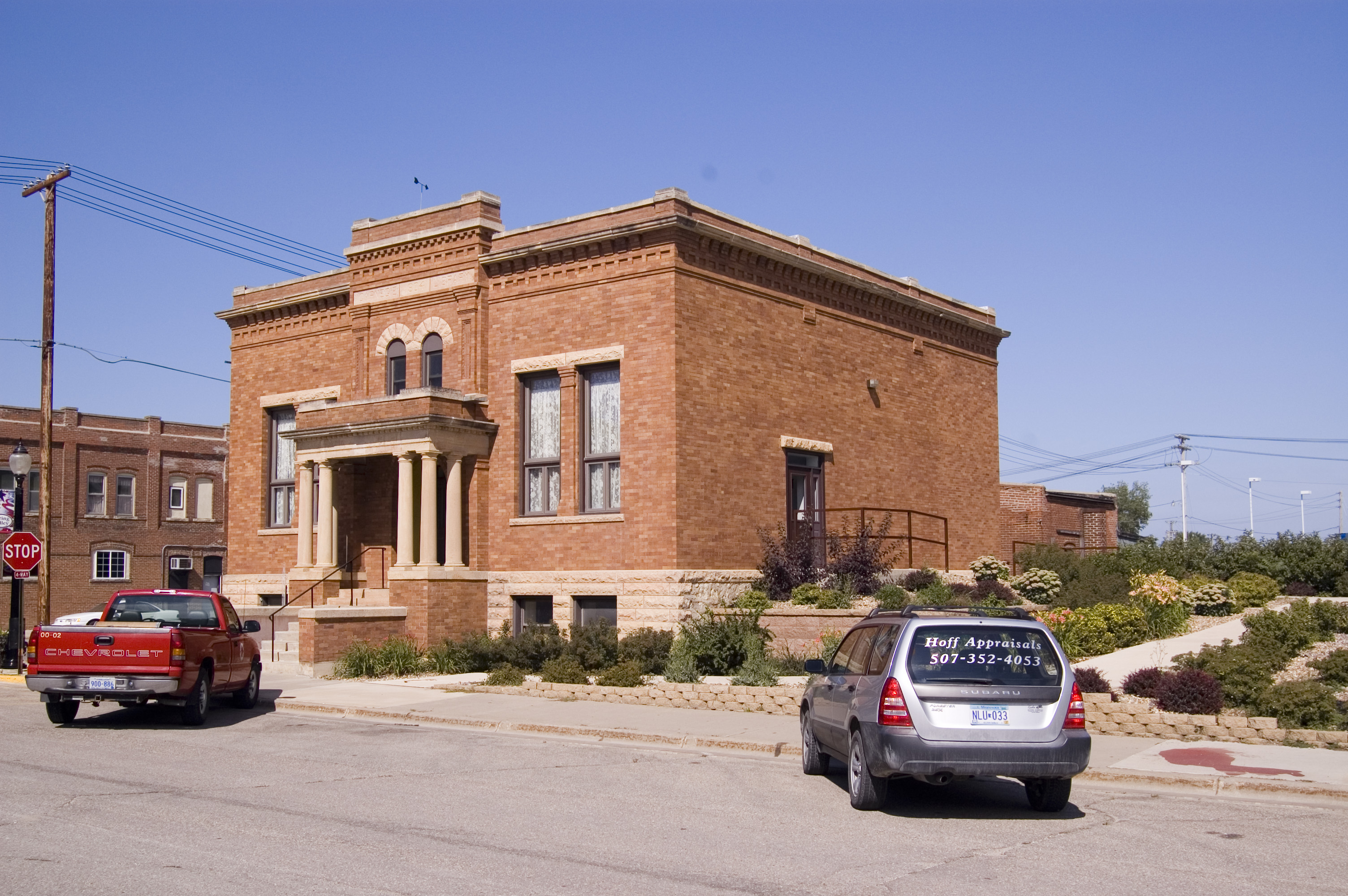
Although it no longer houses the main branch of the Spring Valley library, the old Carnegie Library facility remains part of the Spring Valley's history.
Public Domain. Photo by A. E. Crane
Download Original (3008 x 2000 pixels, 1656.8 MB)
-

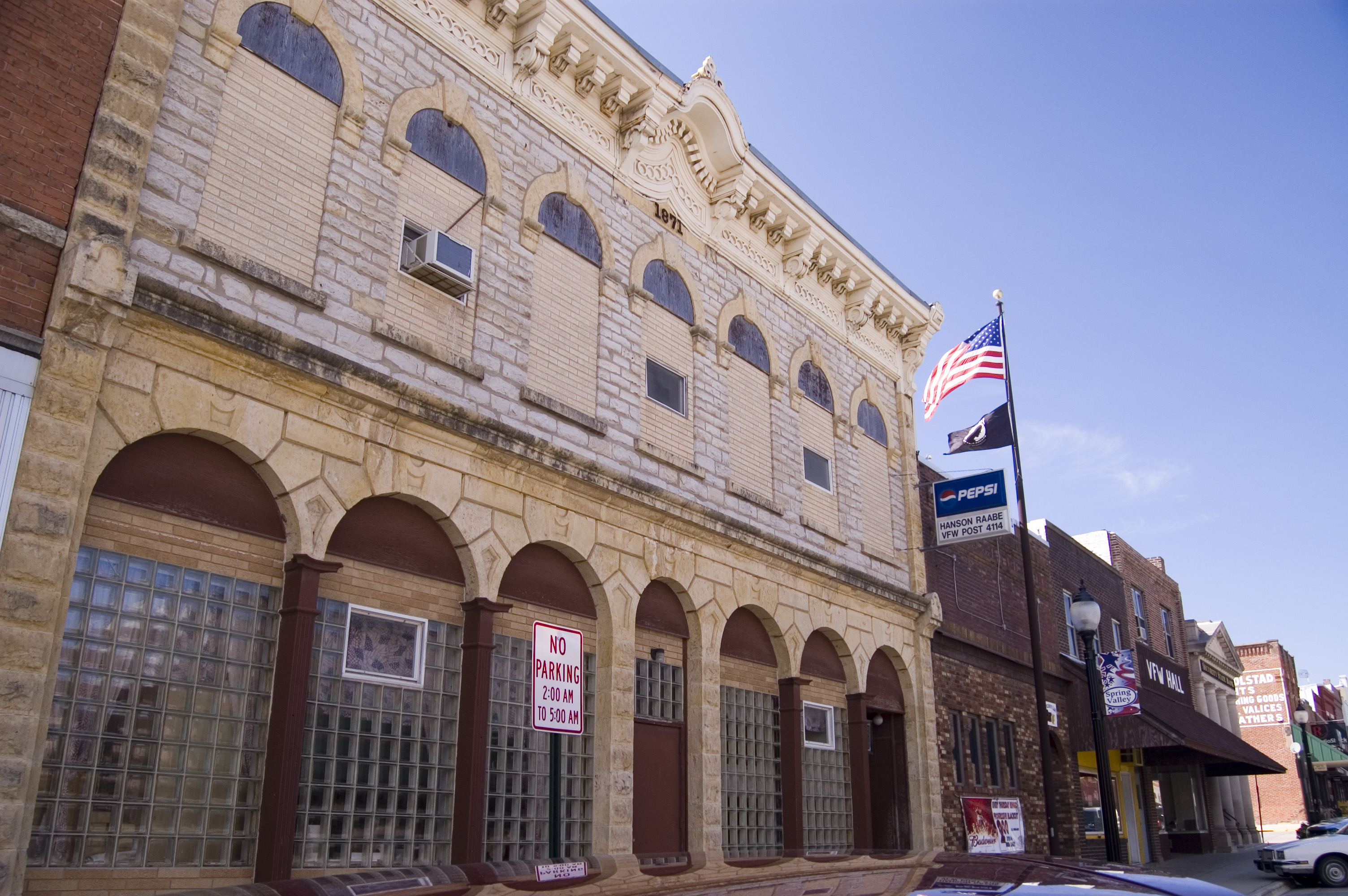
Built of warm golden rock, the Parson's Block and Hall building in downtown Spring Valley is of Victorian Italianate architecture.
Public Domain. Photo by A. E. Crane
Download Original (3008 x 2000 pixels, 1477.4 MB)
-
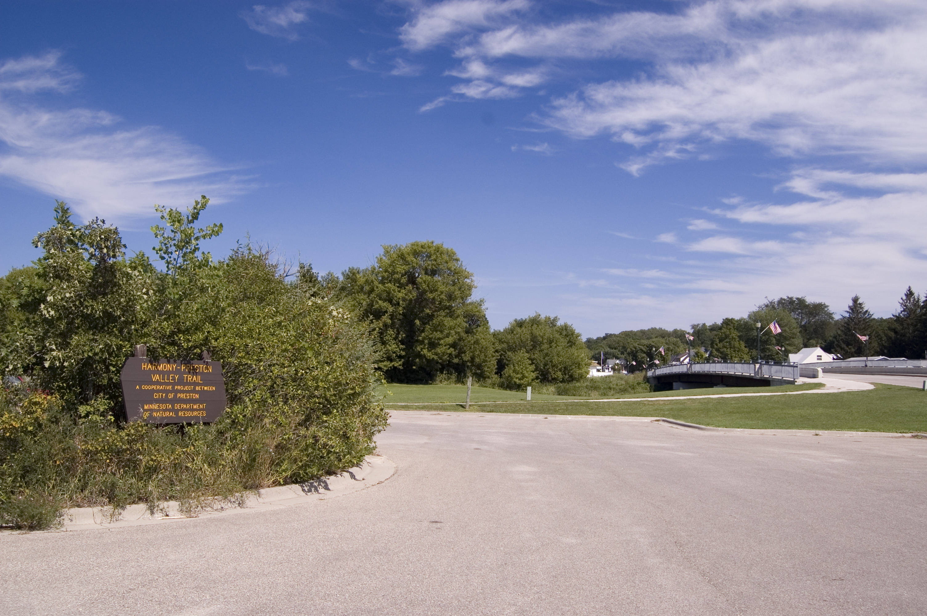
Feathery clouds grace the sky above this riverside park by the Harmony-Preston Trailhead in Preston.
Public Domain. Photo by A. E. Crane
Download Original (3008 x 2000 pixels, 1541.0 MB)
-
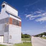
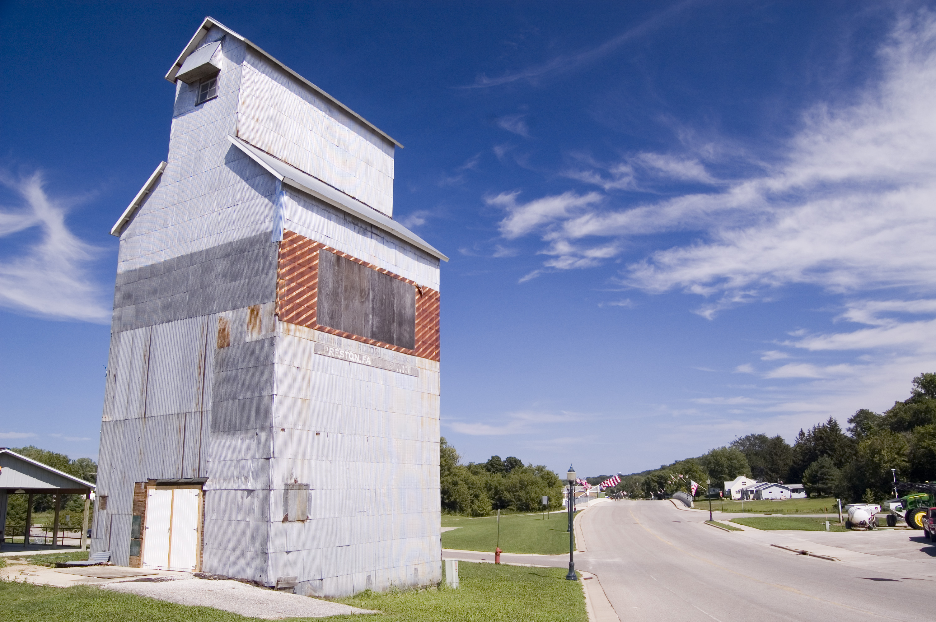
One of the tallest buildings in Preston is this grain elevator, currently awaiting enough funds for restoration.
Public Domain. Photo by A. E. Crane
Download Original (3008 x 2000 pixels, 1431.4 MB)
-
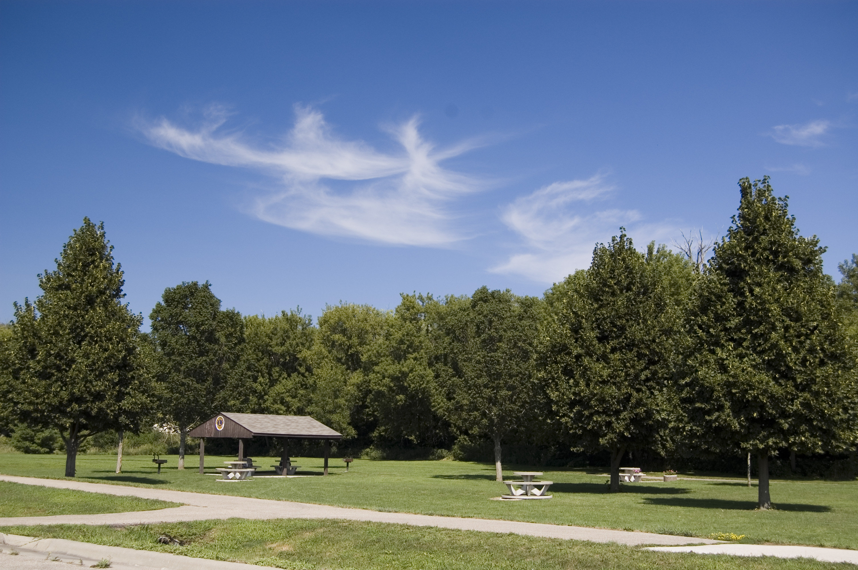
A small park and plenty of parking are two of the features of the Harmony-Preston Valley Trailhead by the grain elevator in Preston.
Public Domain. Photo by A. E. Crane
Download Original (3008 x 2000 pixels, 1629.0 MB)
-
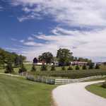
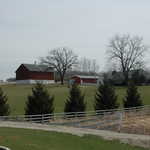
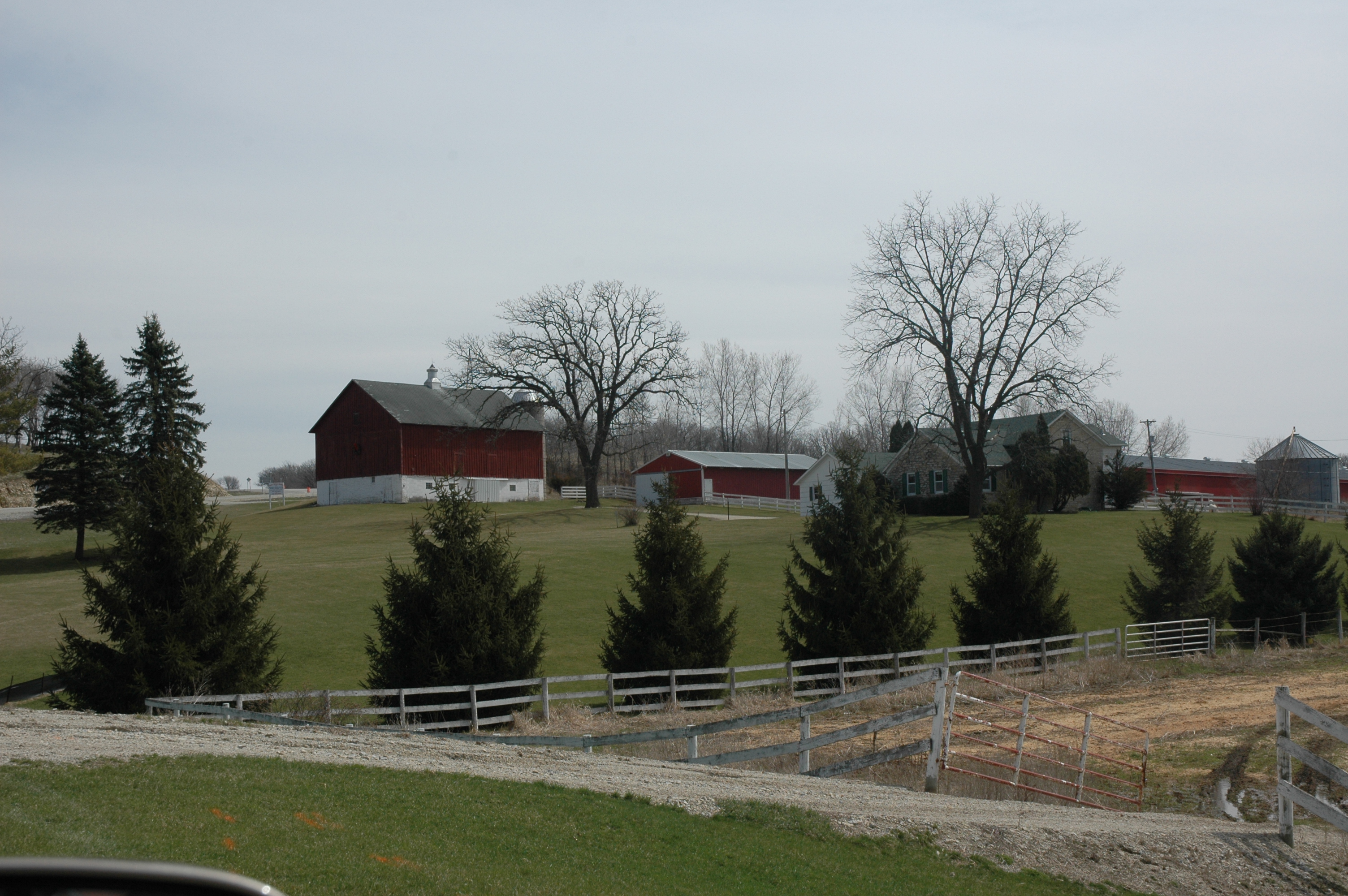
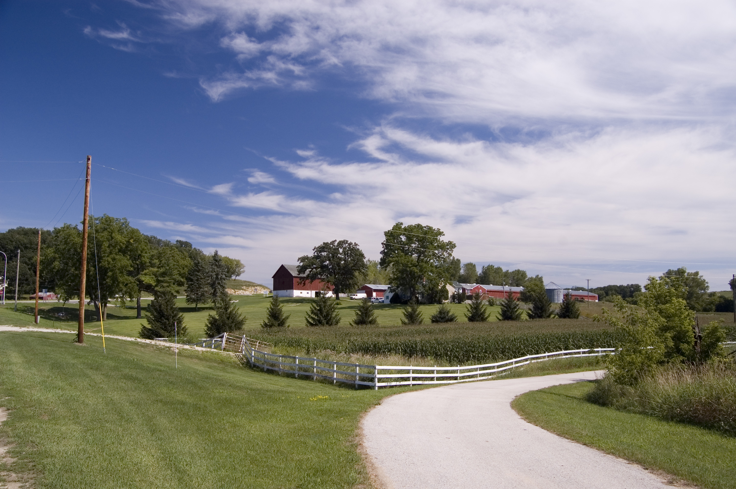
White fences, red farm buildings, and green fields create a pleasant rural scene for bikers and hikers on the Harmony -Preston Valley Trail near Preston.
Public Domain. Photo by A. E. Crane
Download Original (3008 x 2000 pixels, 1512.8 MB)
-
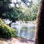
The Root River flows by close to the road at a point south of Preston.
Public Domain. Photo by A. E. Crane
Download Original (3008 x 2000 pixels, 2340.0 MB)
-

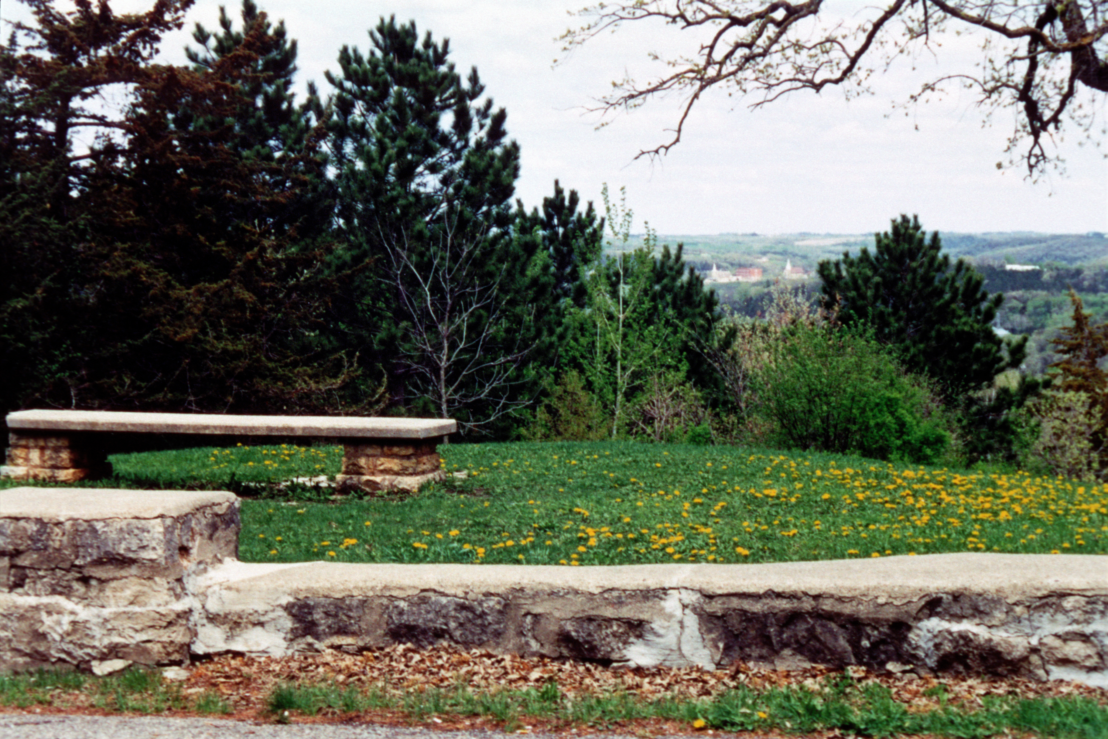
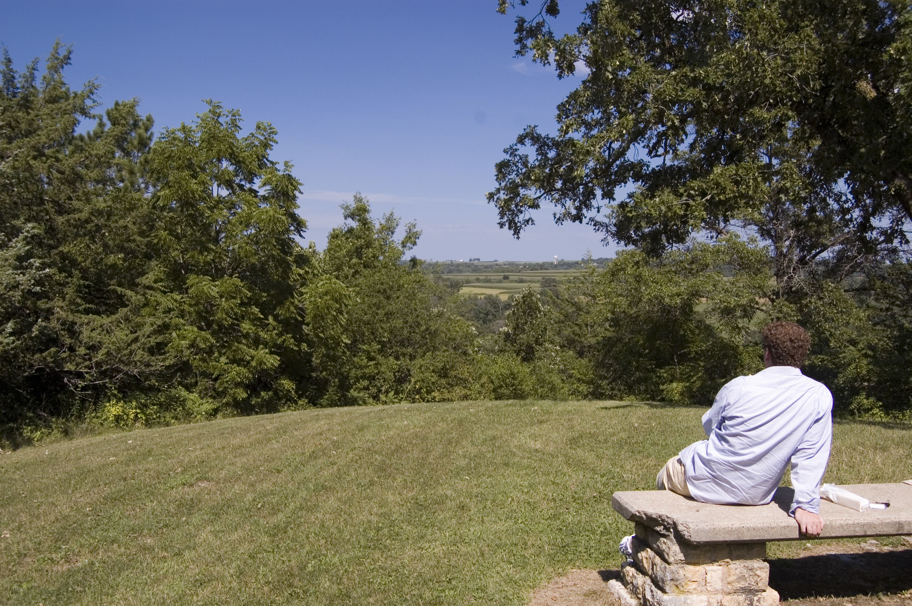
A visitor to Inspiration Point west of Lanesboro relaxes on a stone bench and enjoys the summertime view.
Public Domain. Photo by A. E. Crane
Download Original (3008 x 2000 pixels, 2302.3 MB)
-
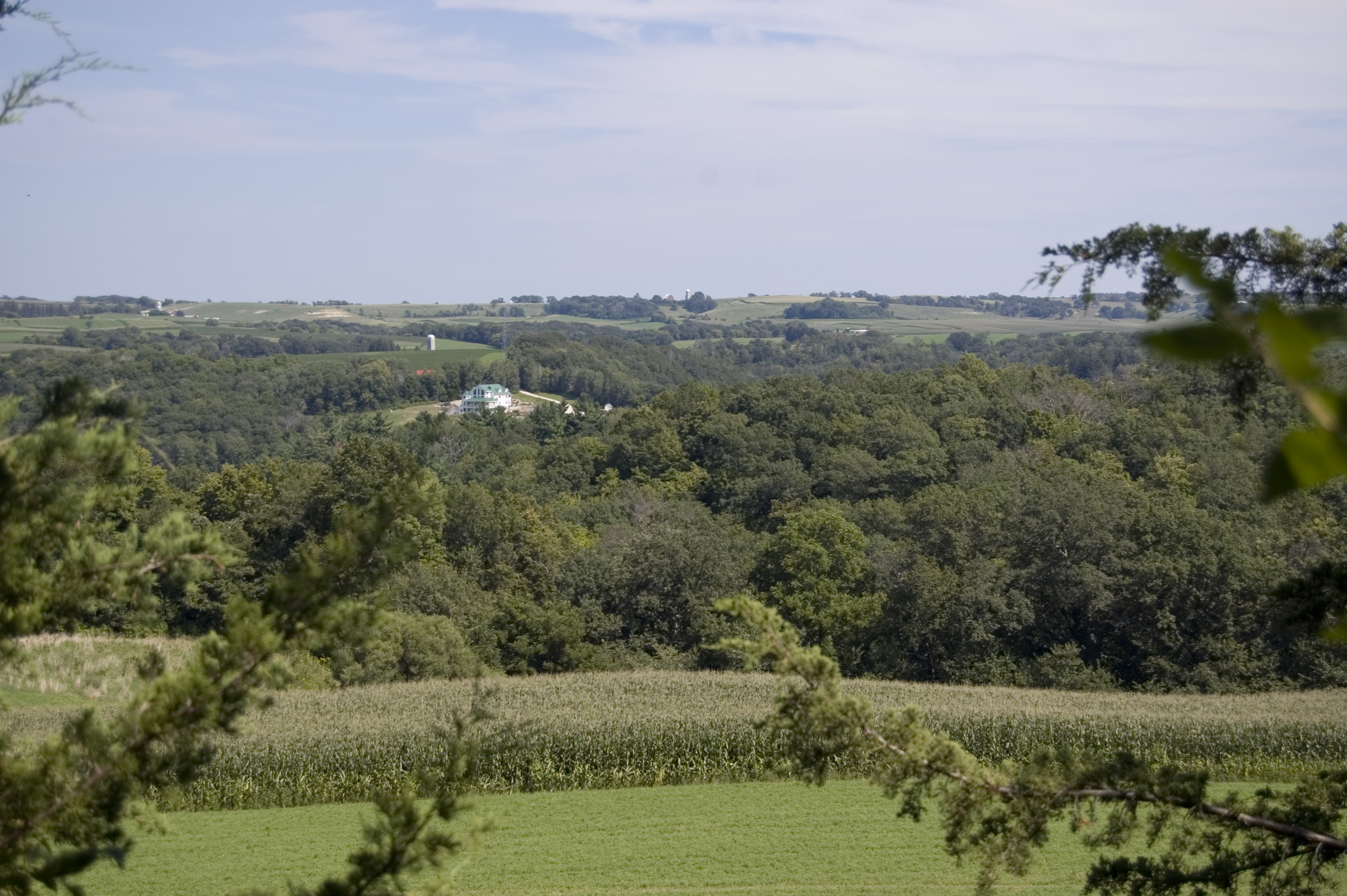
Cornfields and forests stretch as far as the eye can see from this summer view from Inspiration Point west of Lanesboro on SR 16.
Public Domain. Photo by A. E. Crane
Download Original (3008 x 2000 pixels, 1382.3 MB)
-
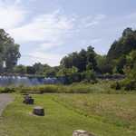
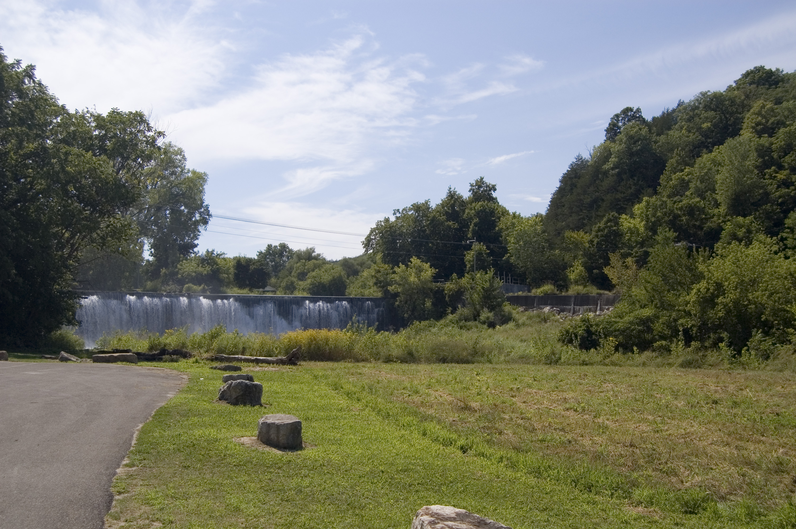
Green grass and trees in full summer glory surround the Old Stone Dam in Lanesboro.
Public Domain. Photo by A. E. Crane
Download Original (3008 x 2000 pixels, 1945.9 MB)
-
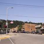
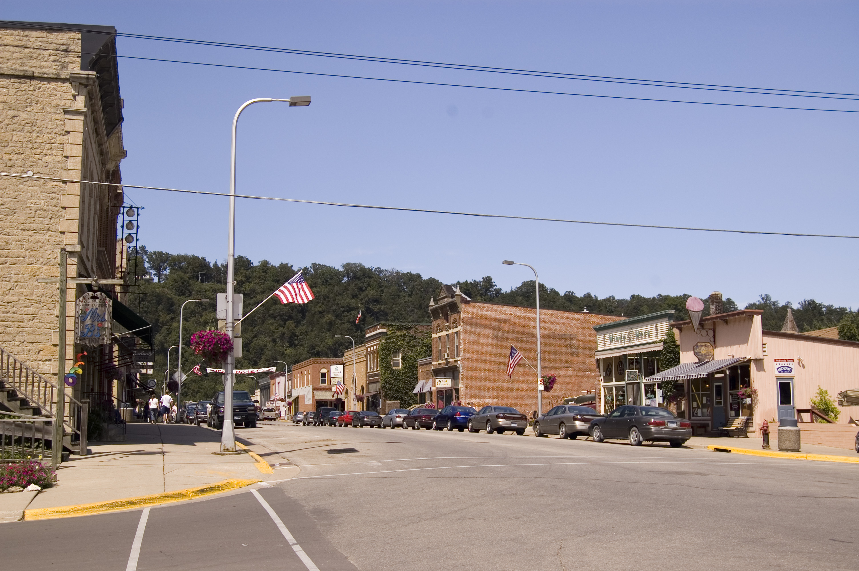
Traffic is light on a weekday afternoon in summer in historic downtown Lanesboro.
Public Domain. Photo by A. E. Crane
Download Original (3008 x 2000 pixels, 1477.9 MB)
-
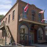
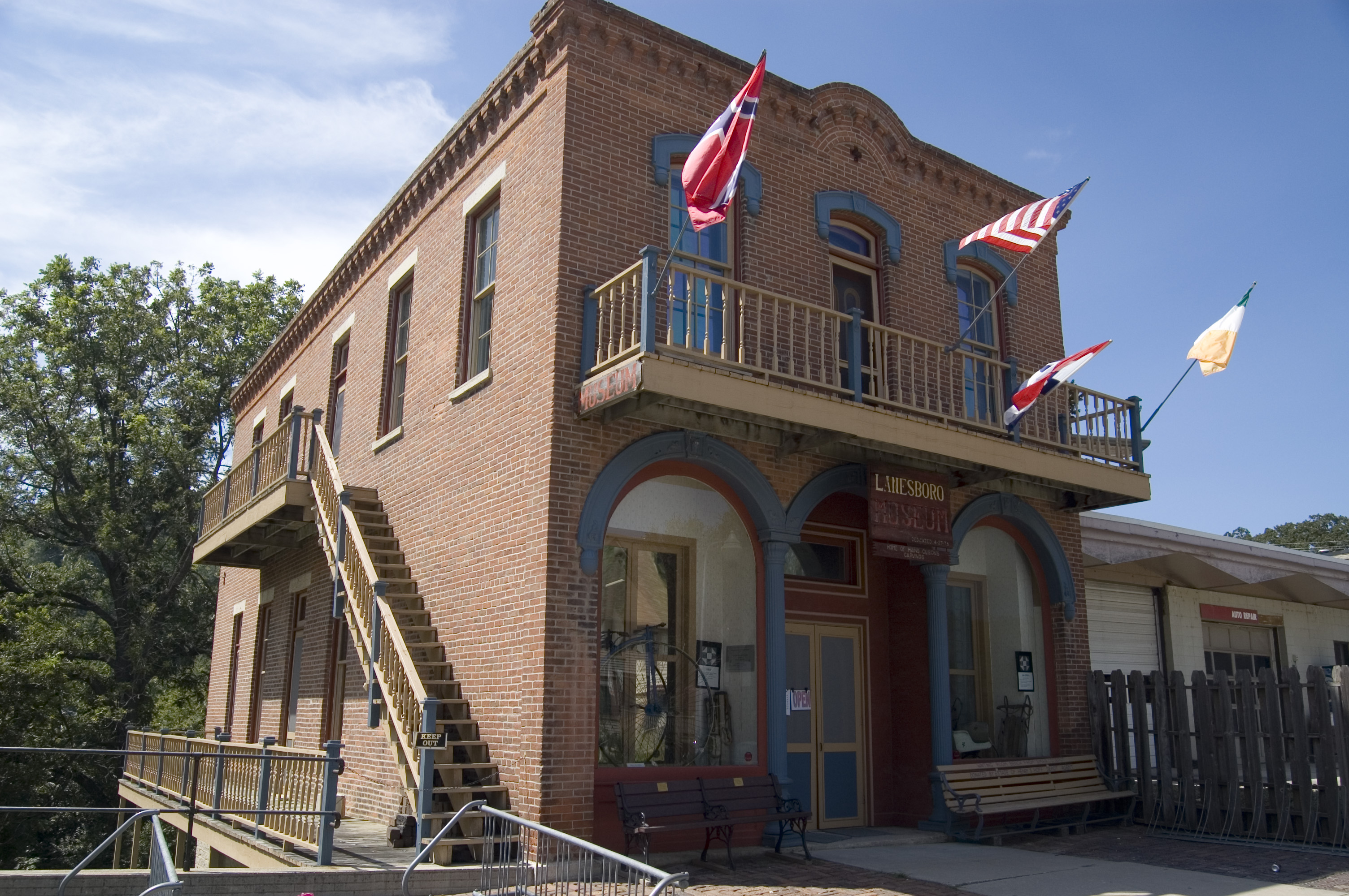
Flags fly proudly over the balcony on the Historic Museum in Lanesboro.
Public Domain. Photo by A. E. Crane
Download Original (3008 x 2000 pixels, 1633.3 MB)
-
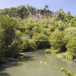
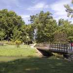
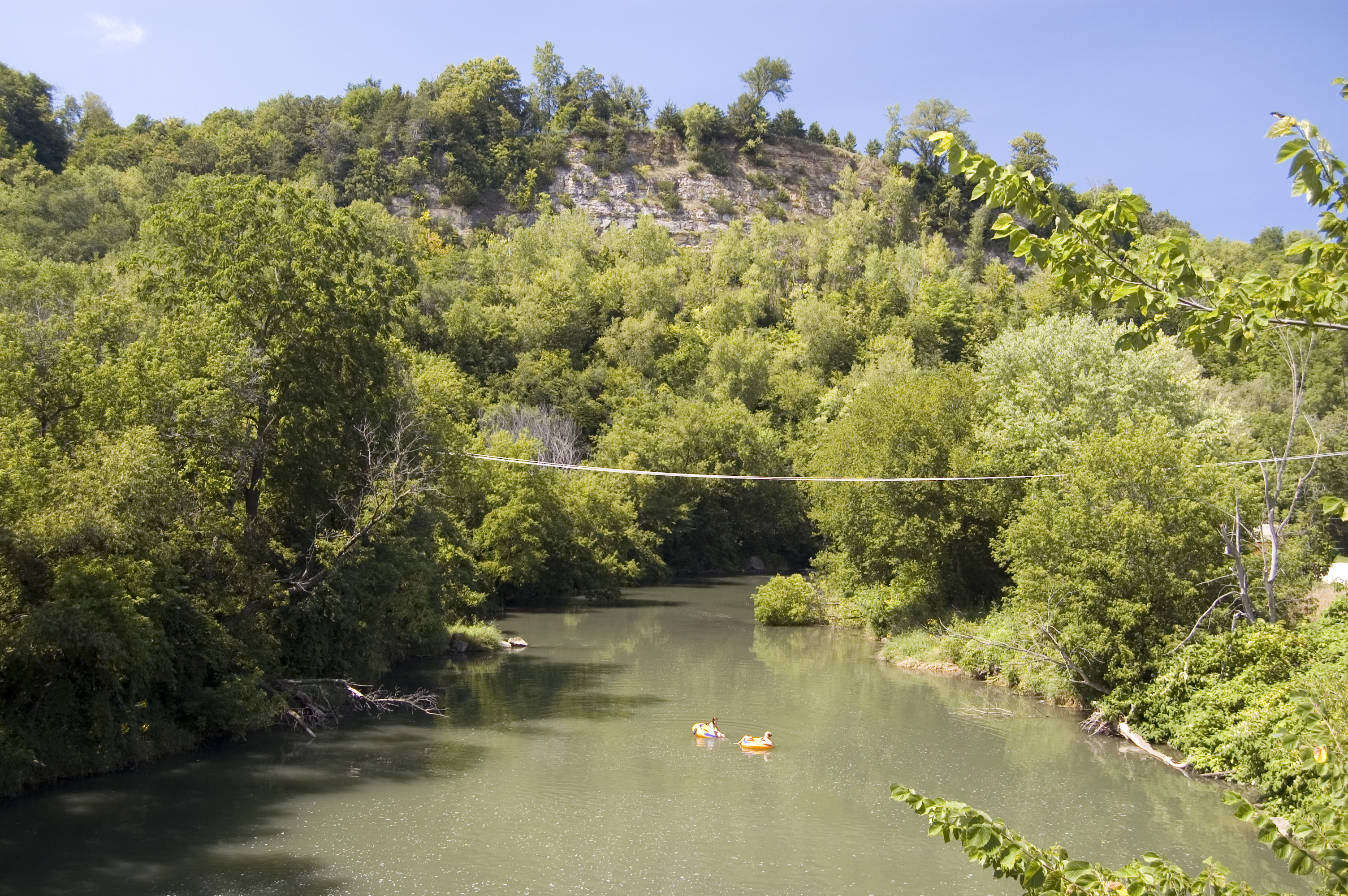
Two girls float past forested hills on the Root River in Lanesboro, as seen from an iron bridge in the center of the historic district.
Public Domain. Photo by A. E. Crane
Download Original (3008 x 2000 pixels, 2589.9 MB)
-
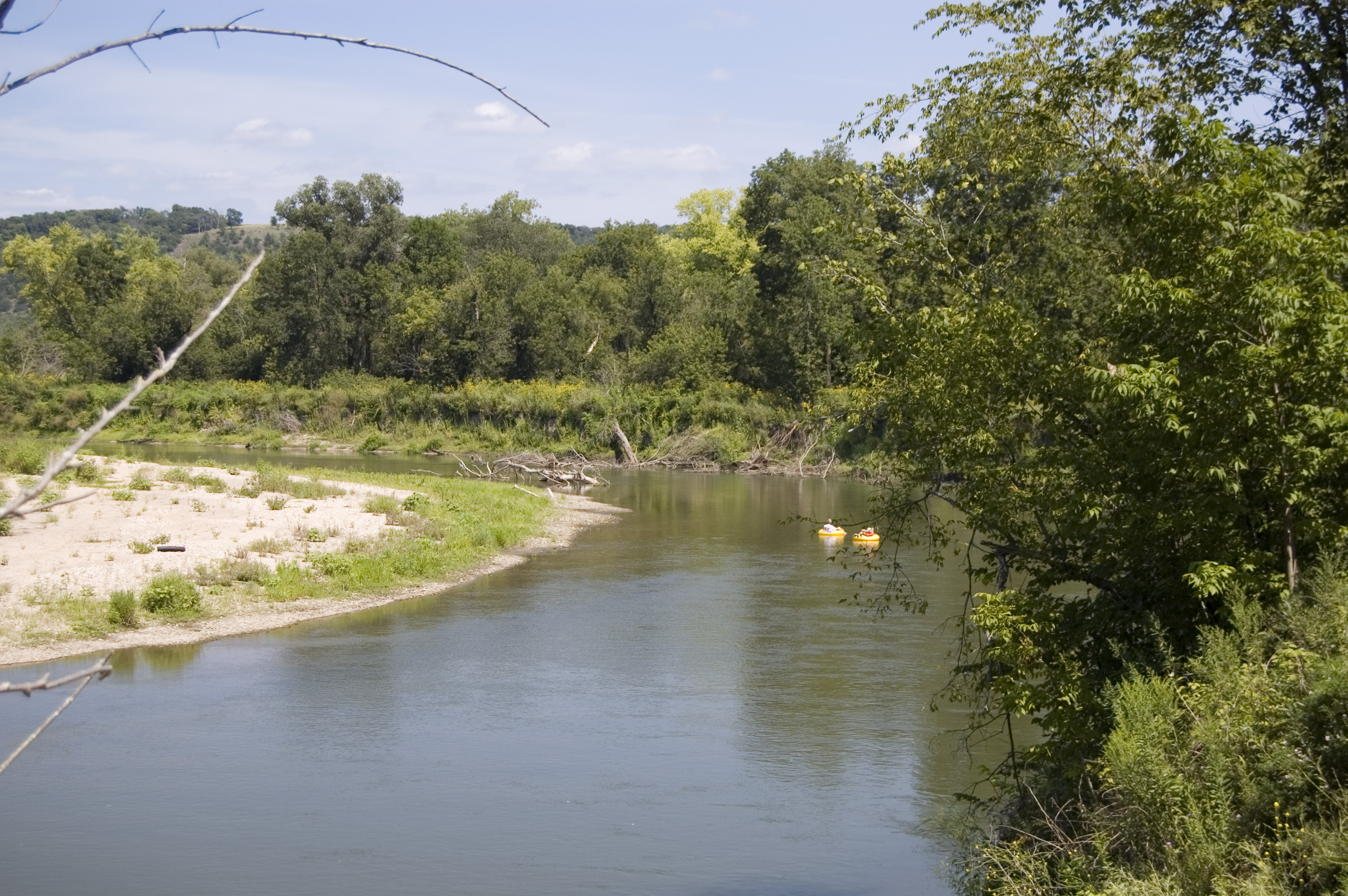
At a curve in the Root River near Peterson, two swimmers float past.
Public Domain. Photo by A. E. Crane
Download Original (3008 x 2000 pixels, 1820.6 MB)
-

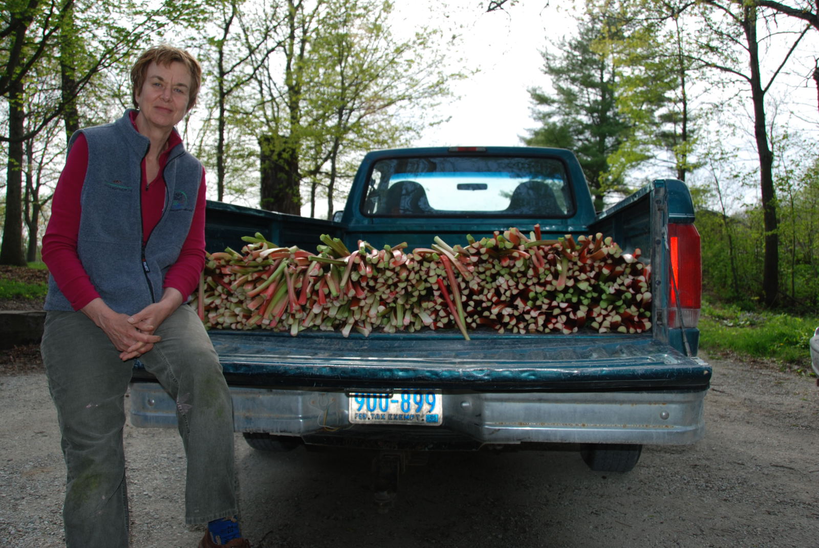
A woman sits beside a bountiful rhubarb crop filling the back of a blue pickup.
Public Domain. Courtesy of Lanesboro Rhubarb Festival Committee
Download Original (1600 x 1071 pixels, 352.7 KB)
-
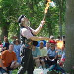
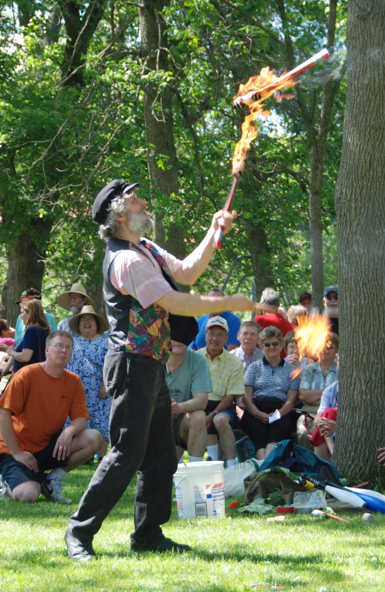
Juggling flaming rhubarb torches, this performer provides just one of the entertainment options at the Lanesboro, MN Rhubarb Festival.
Public Domain. Courtesy of Lanesboro Rhubarb Festival Committee
Download Original (781 x 1200 pixels, 262.5 KB)
-

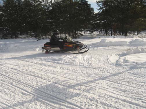
A snowmobiler cruises along the powdery snow amidst wooded Minnesota.
Public Domain.
Download Original (504 x 378 pixels, 73.8 KB)
-

Minnesota's Historic Bluff Country Scenic Byway receives their designation plaque at the Designation 2002 event at Union Station in Washington DC.
 © June 2002 FHWA-NSB.
Download Original (1536 x 1024 pixels, 406.8 KB)
-
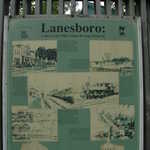
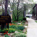
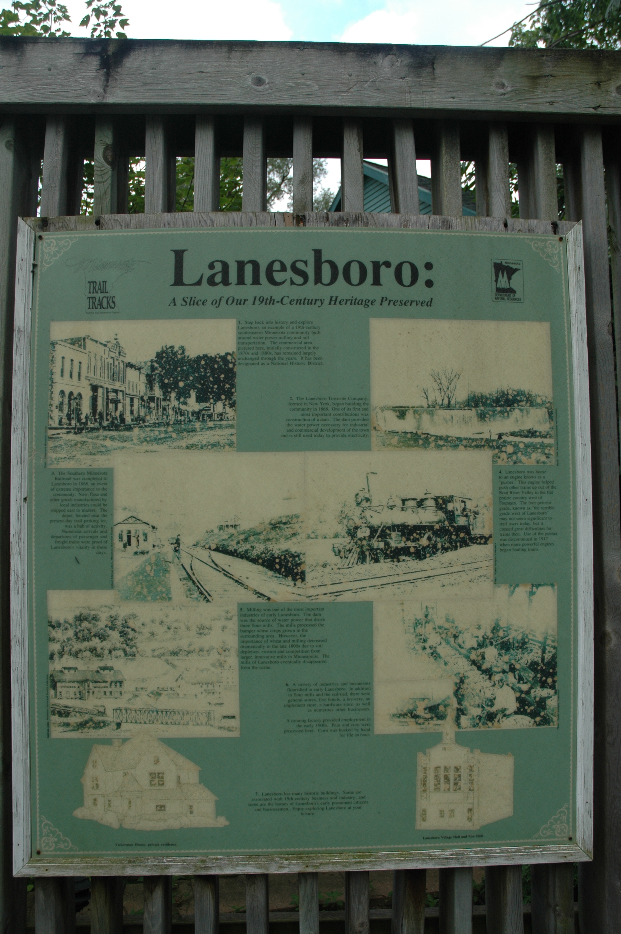
Interpretive sign for Lanesboro along the Root River trail.
Public Domain. Photo by S. Clyde
Download Original (2000 x 3008 pixels, 2365.8 MB)
-
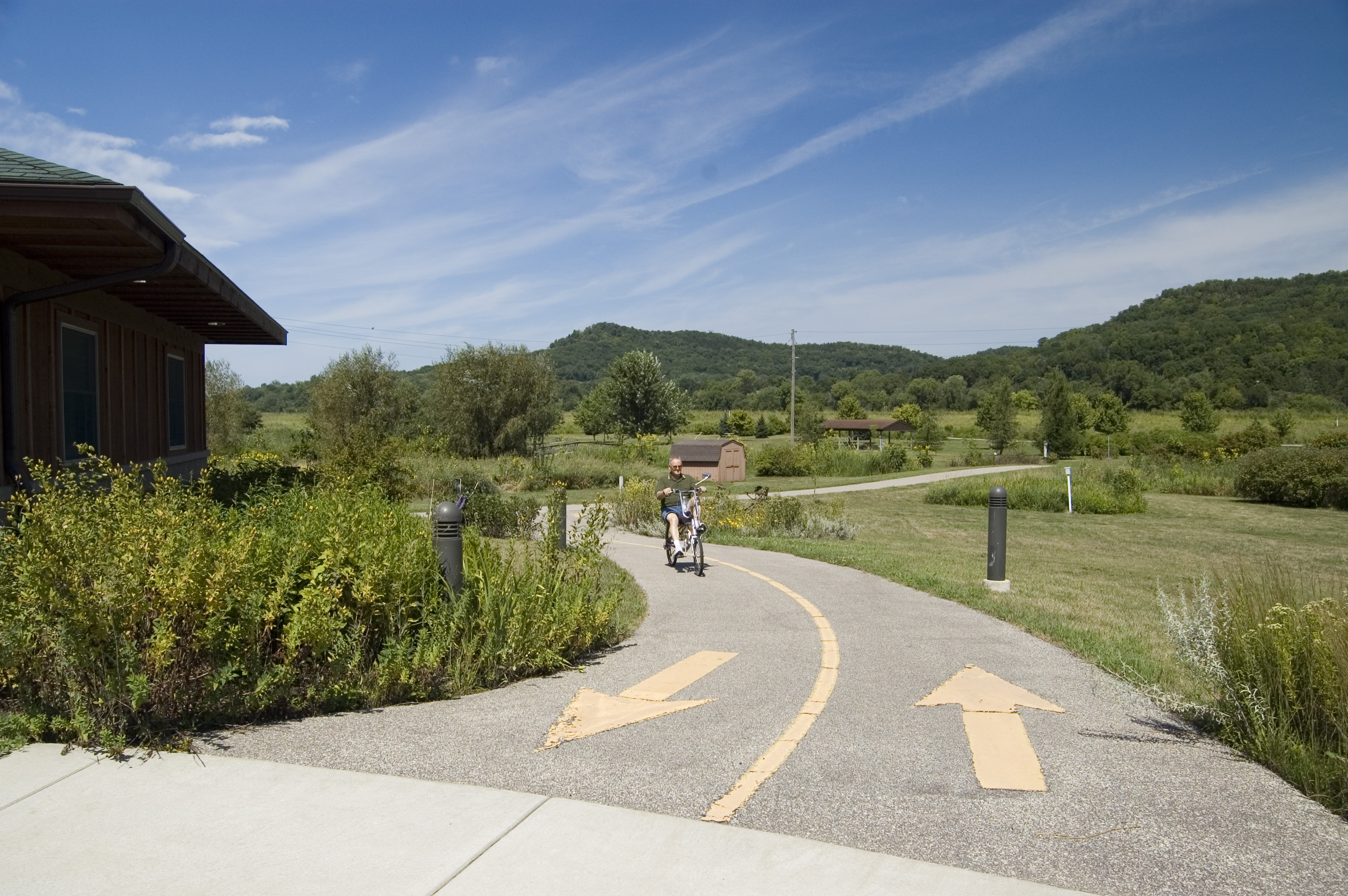
A biker on a reclining-style bike pedals up the trail to the Houston Nature Center.
Public Domain. Photo by A. E. Crane
Download Original (3008 x 2000 pixels, 1865.2 MB)
-
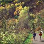
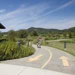
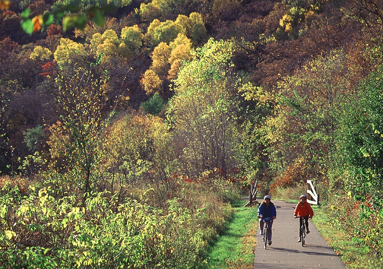
Cyclists enjoy the fall foliage along the Historic Bluff Country Scenic Byway.
Public Domain.
Download Original (768 x 540 pixels, 341.3 KB)
-
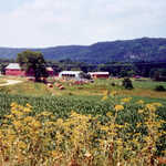
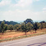
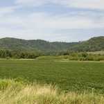
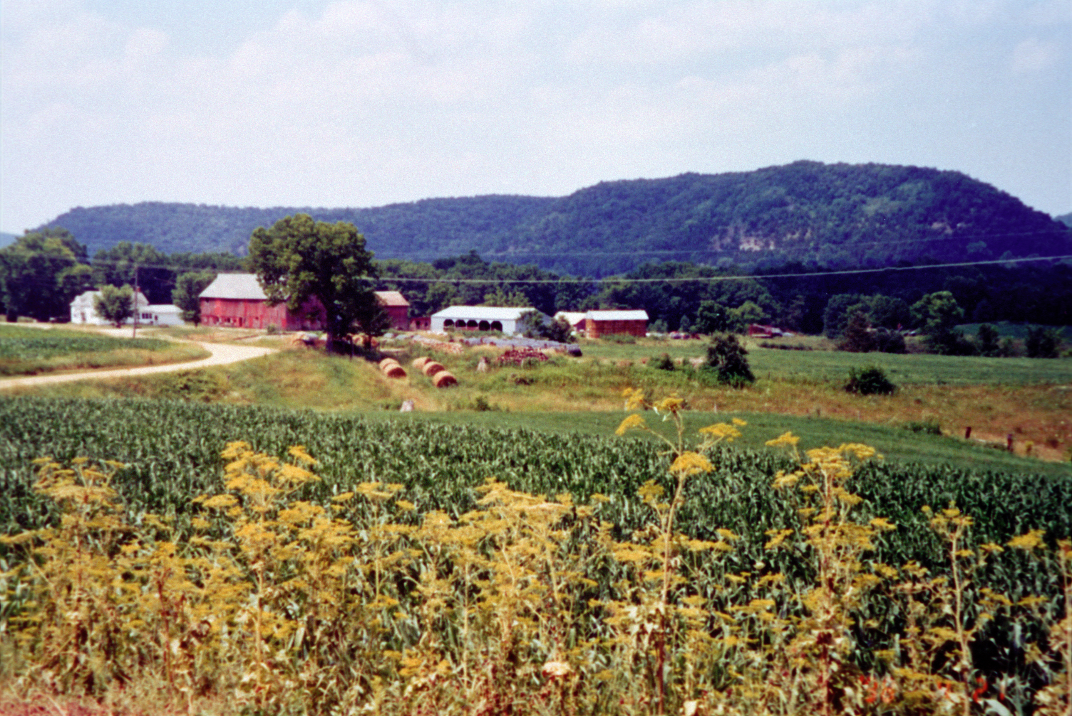
Farmland with bluffs in the background illustrate typical scenes along the byway.
Public Domain.
Download Original (3648 x 2439 pixels, 8919.3 MB)
-

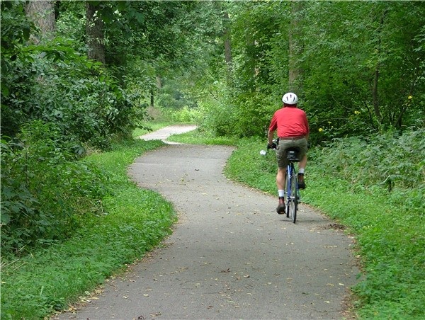
A cyclist peddles through a lush, emerald forest along the Historic Bluff Country Scenic Byway.
Public Domain.
Download Original (600 x 452 pixels, 169.2 KB)
-
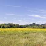
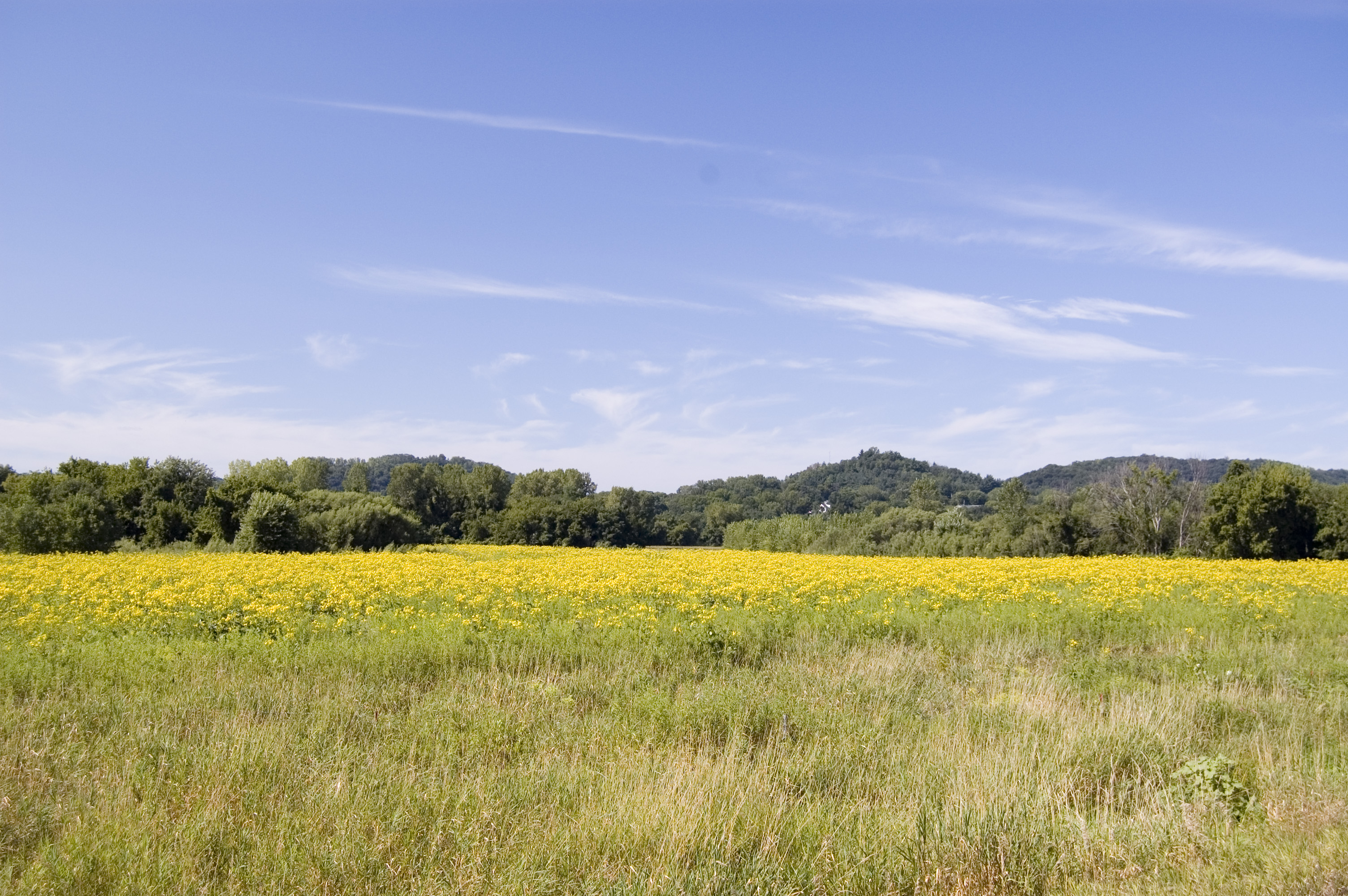
A field full of yellow flowers blooms north of Hokah on the Historic Bluff Country Scenic Byway.
Public Domain. Photo by A. E. Crane
Download Original (3008 x 2000 pixels, 2321.9 MB)
-
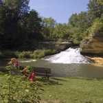
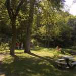
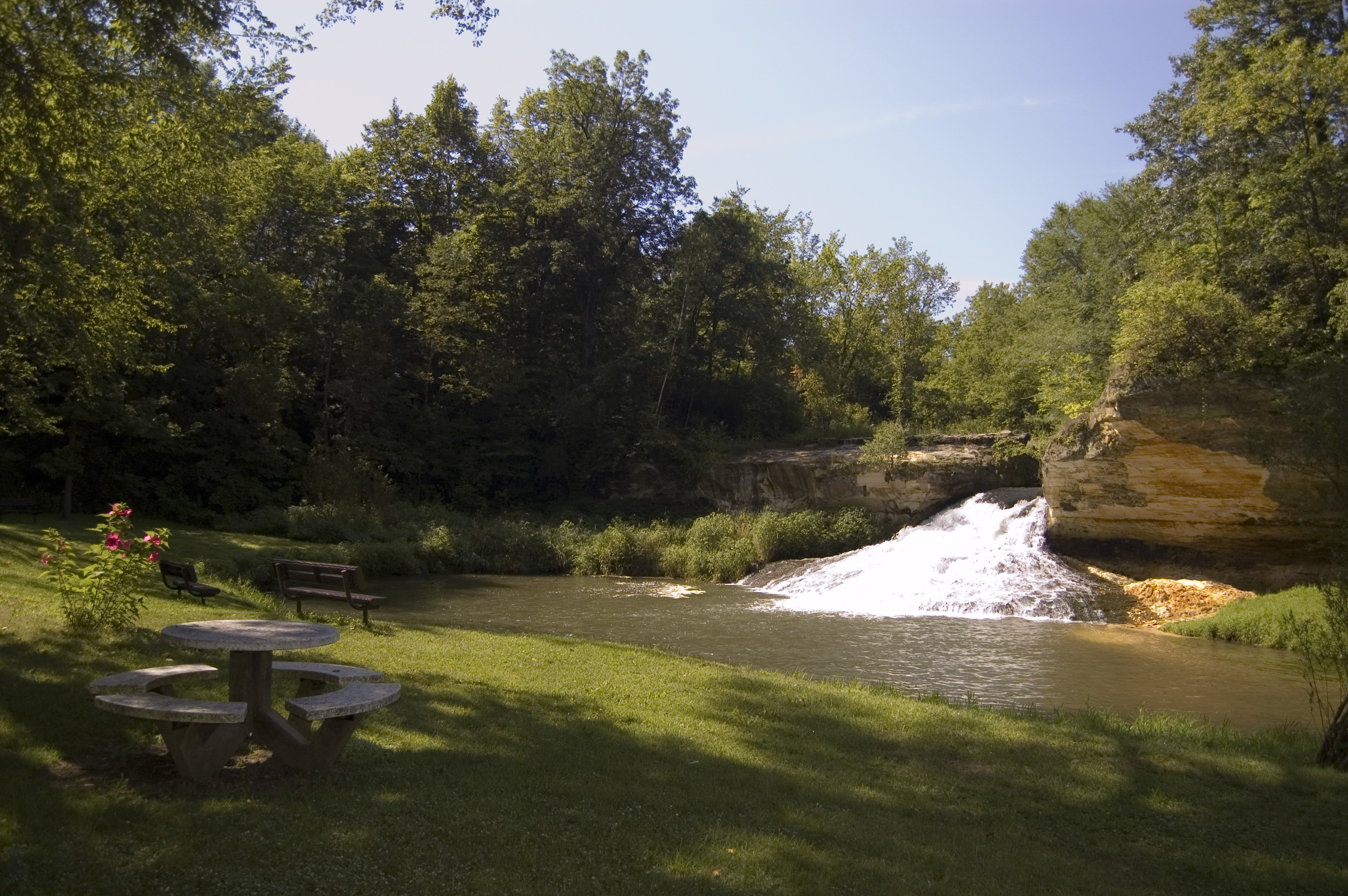
A sturdy round picnic table stands in shade before the white froth of Como Falls.
Public Domain. Photo by A. E. Crane
Download Original (3008 x 2000 pixels, 1905.1 MB)