
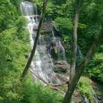
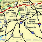
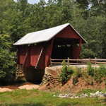
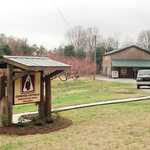
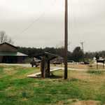
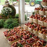
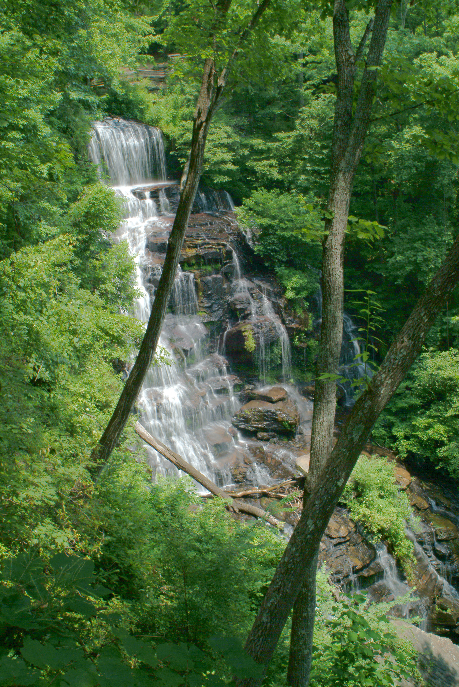
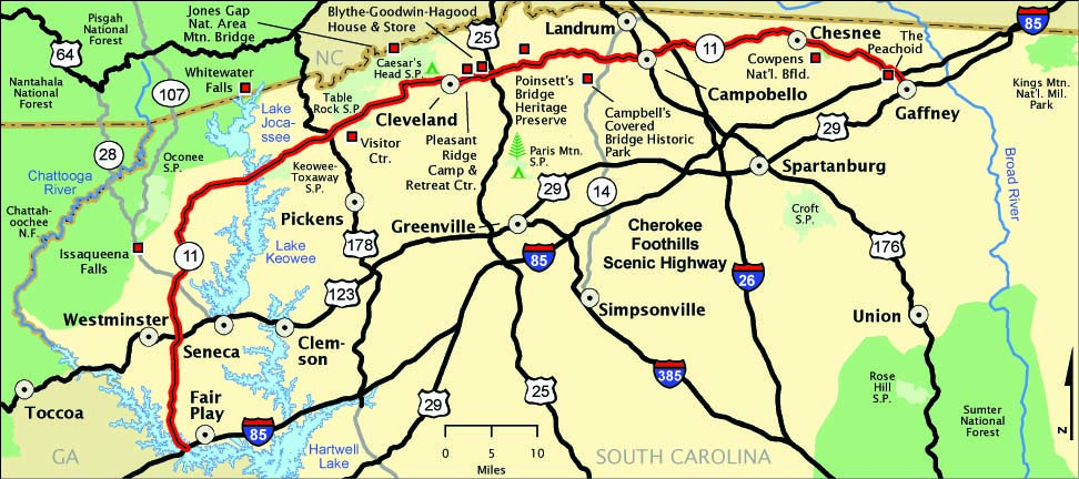
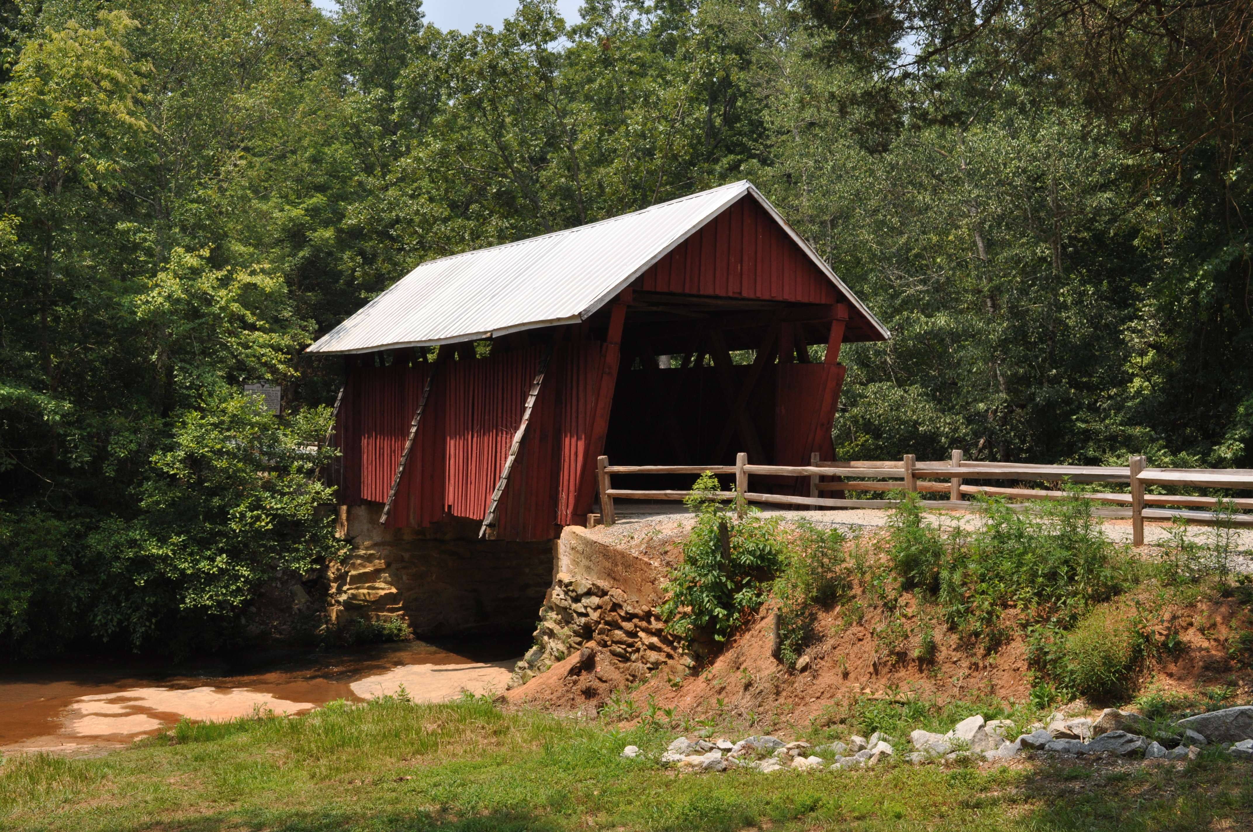
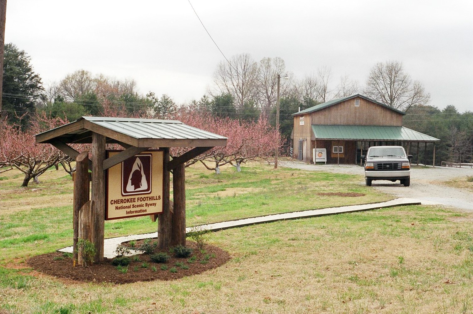
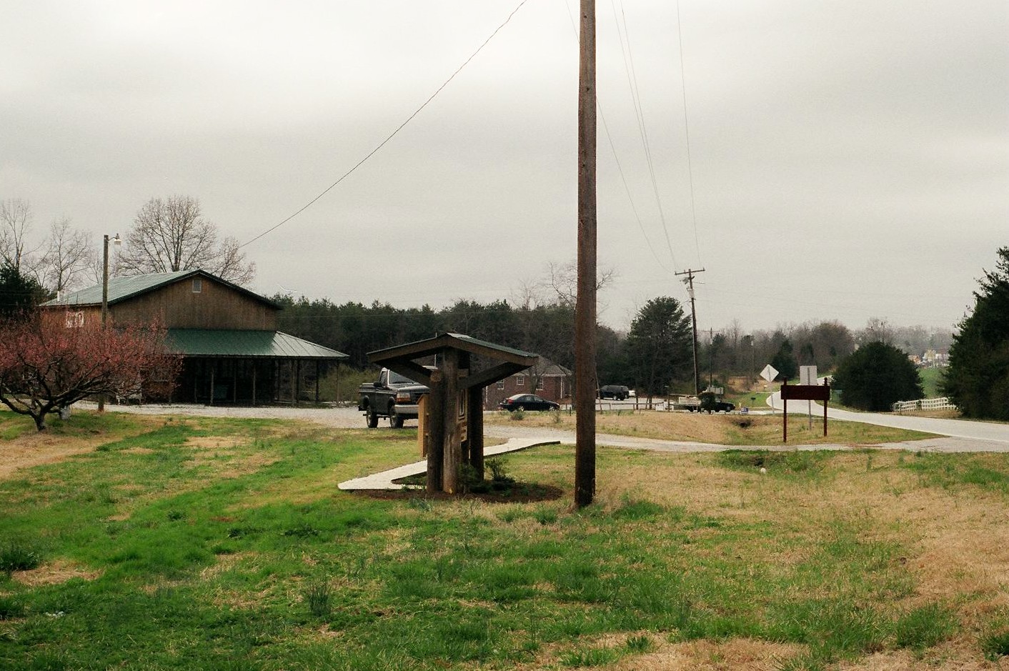
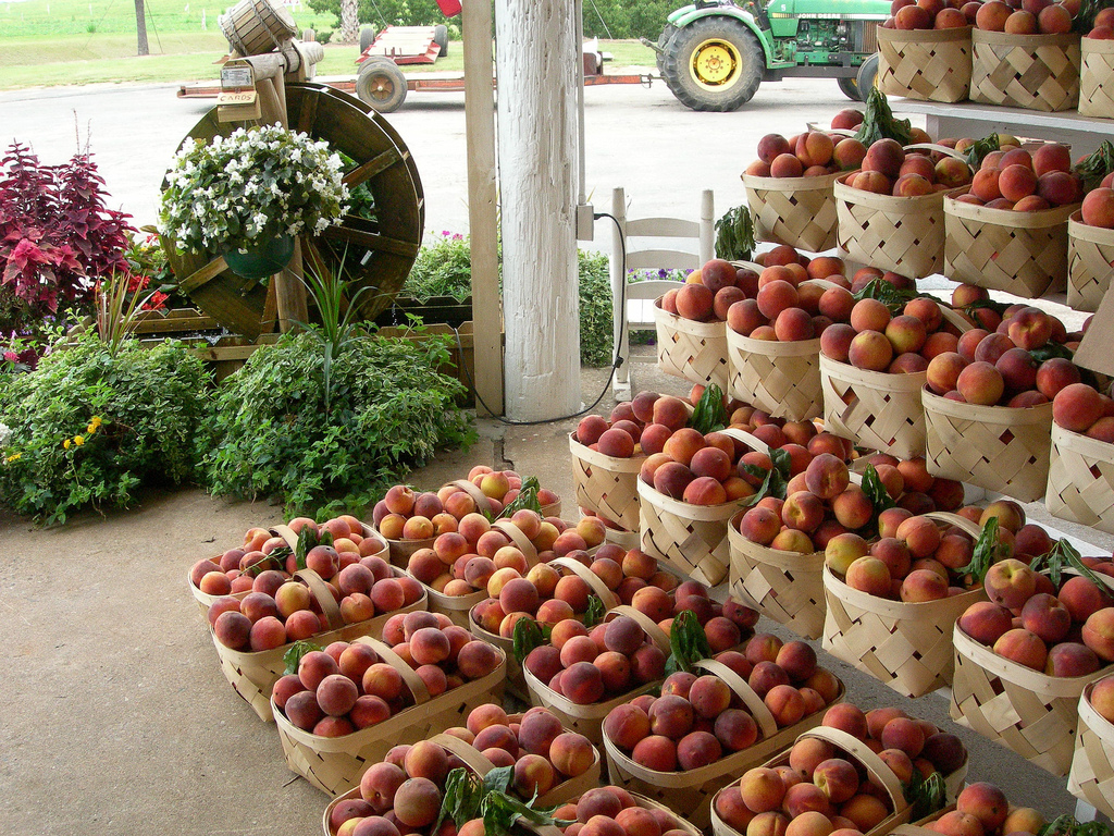
Cherokee Foothills Scenic Highway
All Photos (7)
-

-
-
-
-
-
-
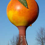
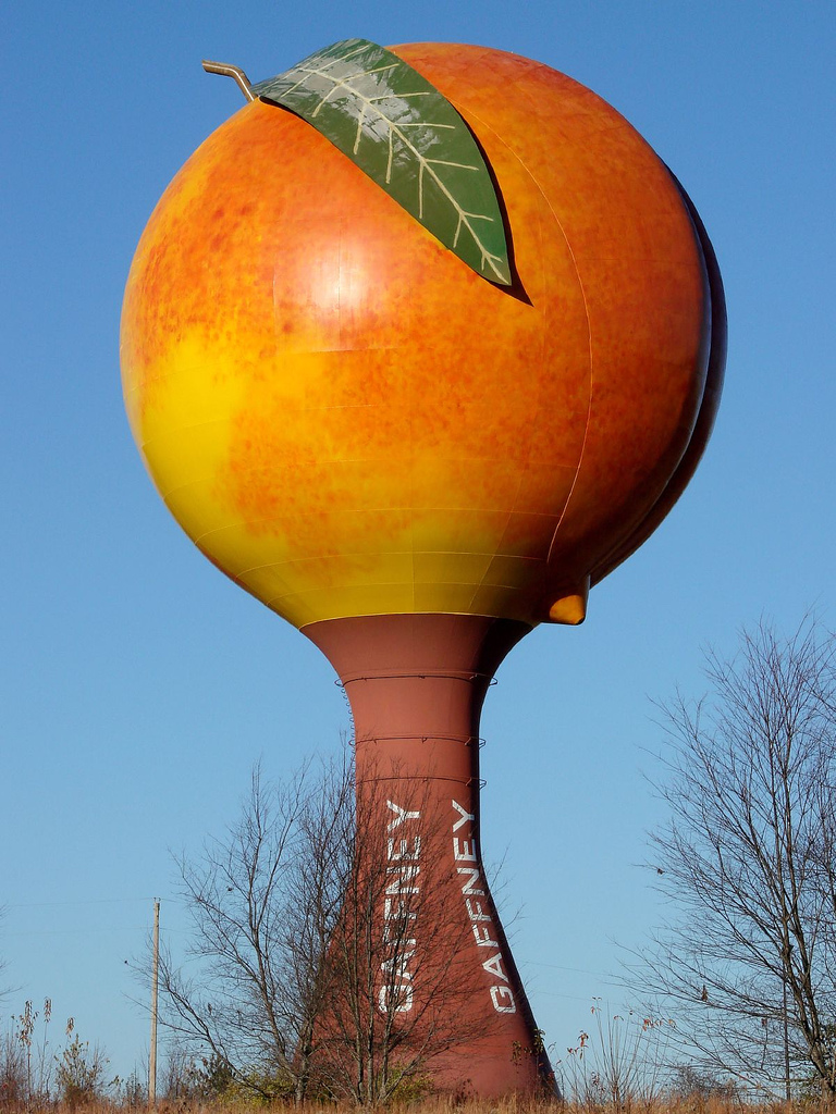
The Peachoid is a functional, million-gallon water tower representing one of South Carolina's favorite agricultural products.
 © 2006 Rob Williams.
Download Original (768 x 1024 pixels, 378.0 KB)