
Historic Columbia River Highway
All Photos (78)
-

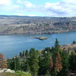
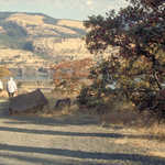
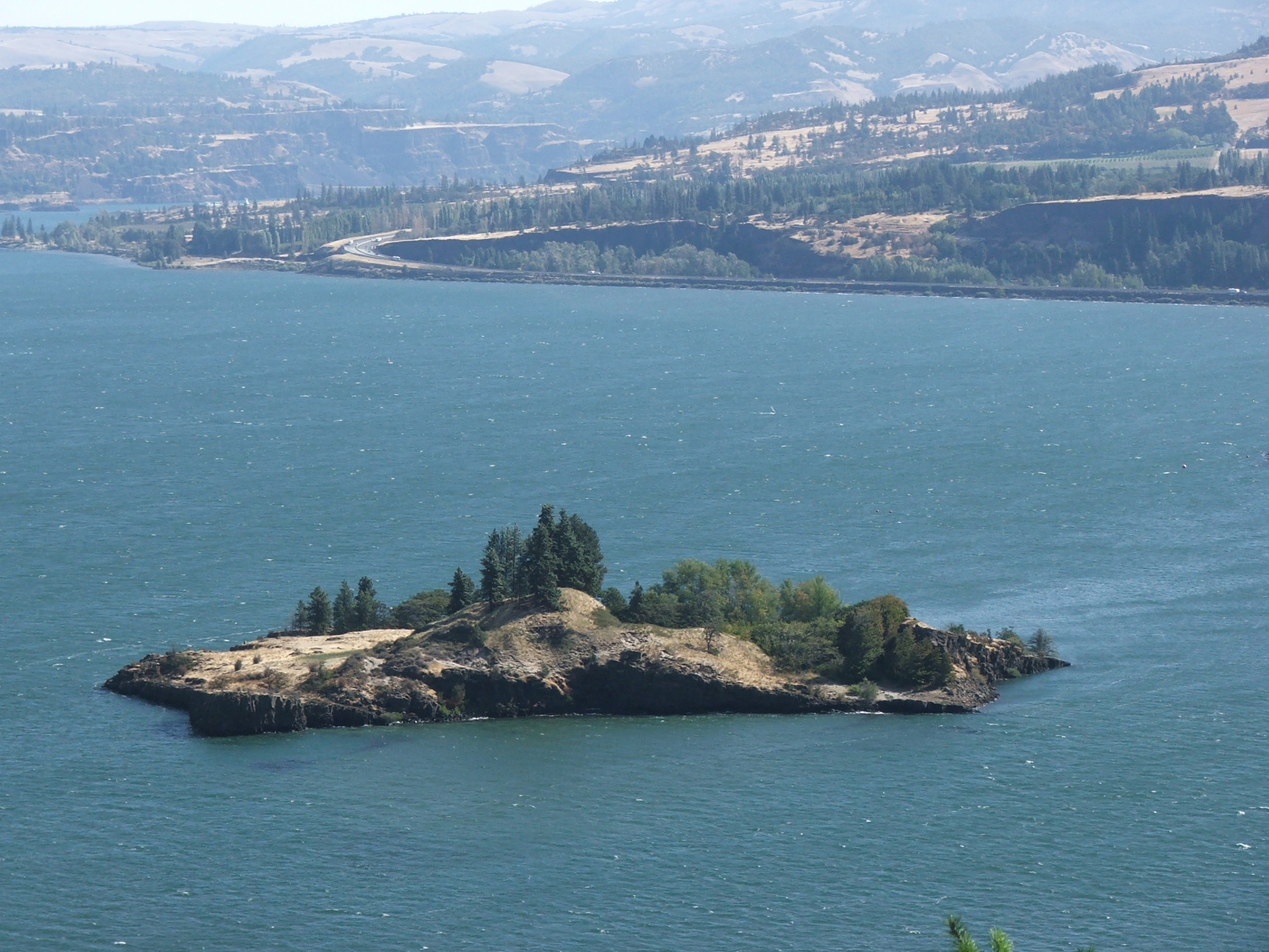
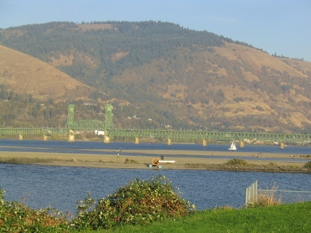
A small island rests on the border of Washington and Oregon in the middle of the Columbia River near Memaloose State Park, as seen from the Historic Columbia River Highway.
Public Domain.
Download Original (2272 x 1704 pixels, 906.2 KB)
-
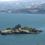
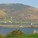
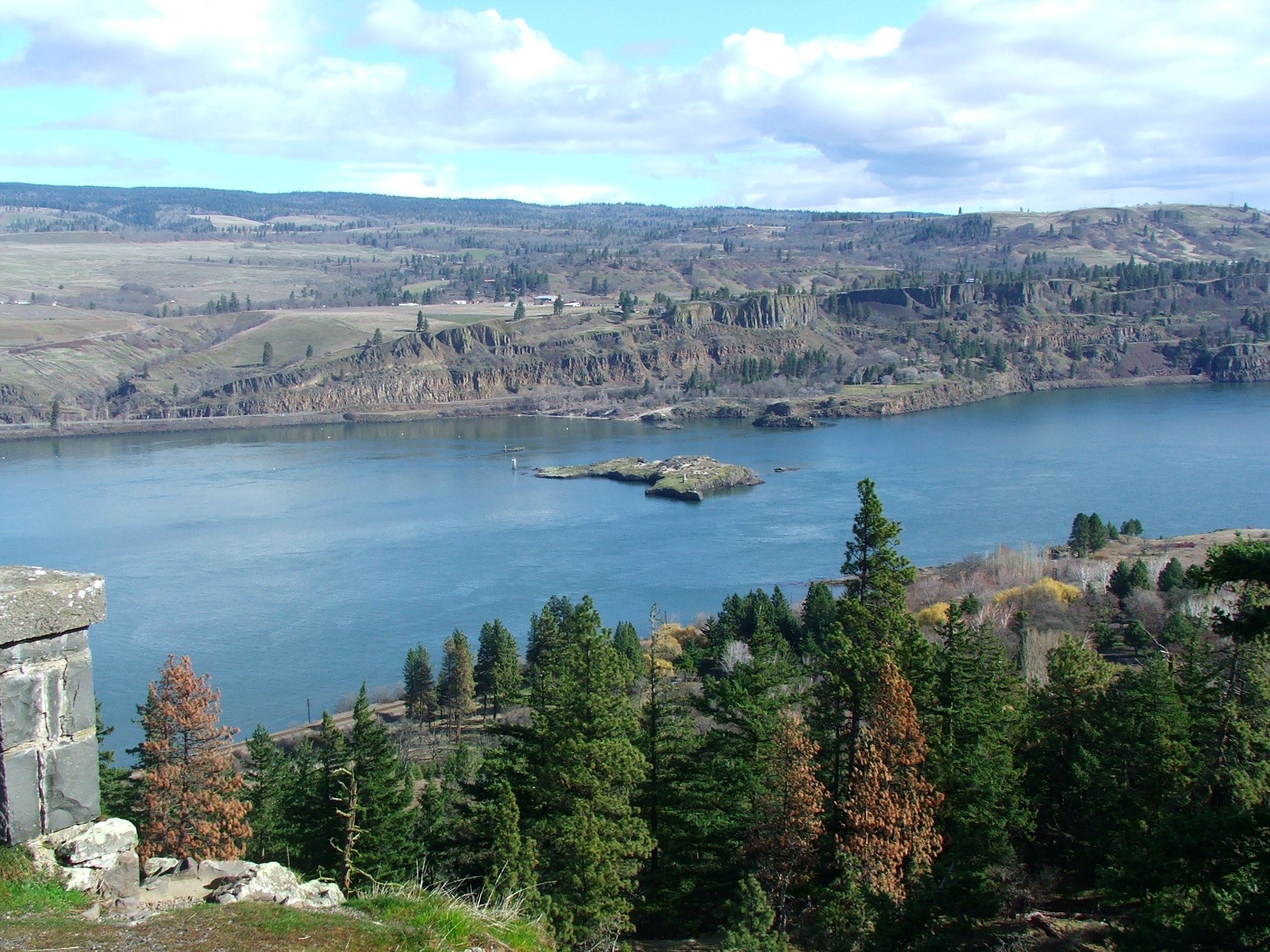
Chicken Charlie's Island, also known as Eighteen Mile Island, is the only privately owned island in the Gorge. It is home to a private summer home.
Public Domain.
Download Original (2272 x 1704 pixels, 890.5 KB)
-
The Columbia River flows peacefully past Memaloose Island on a sunny day. A local pioneer named Victor Trevitt is buried on Memaloose Island. When you are there, you can see his grave marker. Native bones were removed during the construction of Bonneville Dam and are (slowly) being repatriated back to the tribes for reburial.
Public Domain.
Download Original (2272 x 1704 pixels, 906.2 KB)
-
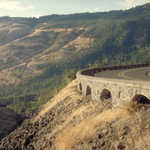
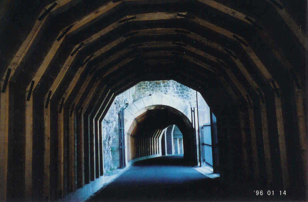
The restored section of the Historic Columbia River Highway winds under the Mosier Twin Tunnels.
Public Domain.
Download Original (1174 x 770 pixels, 57.7 KB)
-
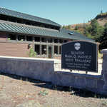
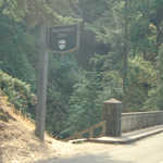
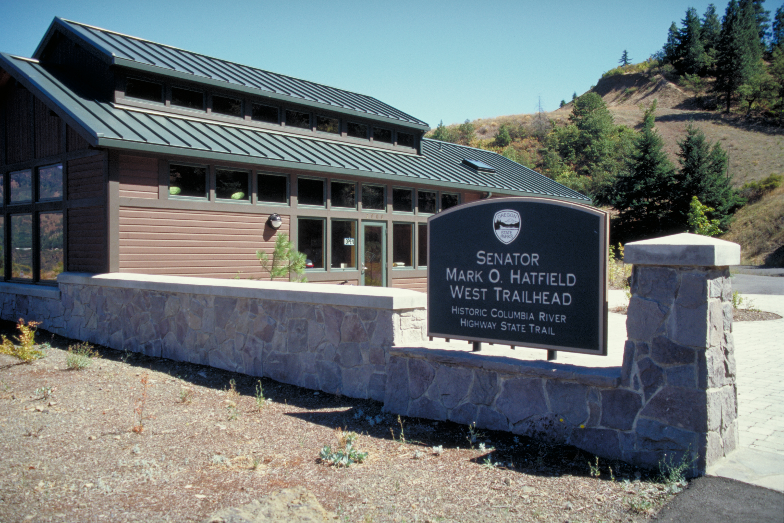
Sign design for this Trailhead's visitor center is consistent, though this particular one is set into and on top of a stone fence around the building.
Public Domain. Photo by Dennis Adams
Download Original (3072 x 2048 pixels, 4320.5 MB)
-
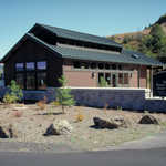
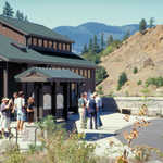
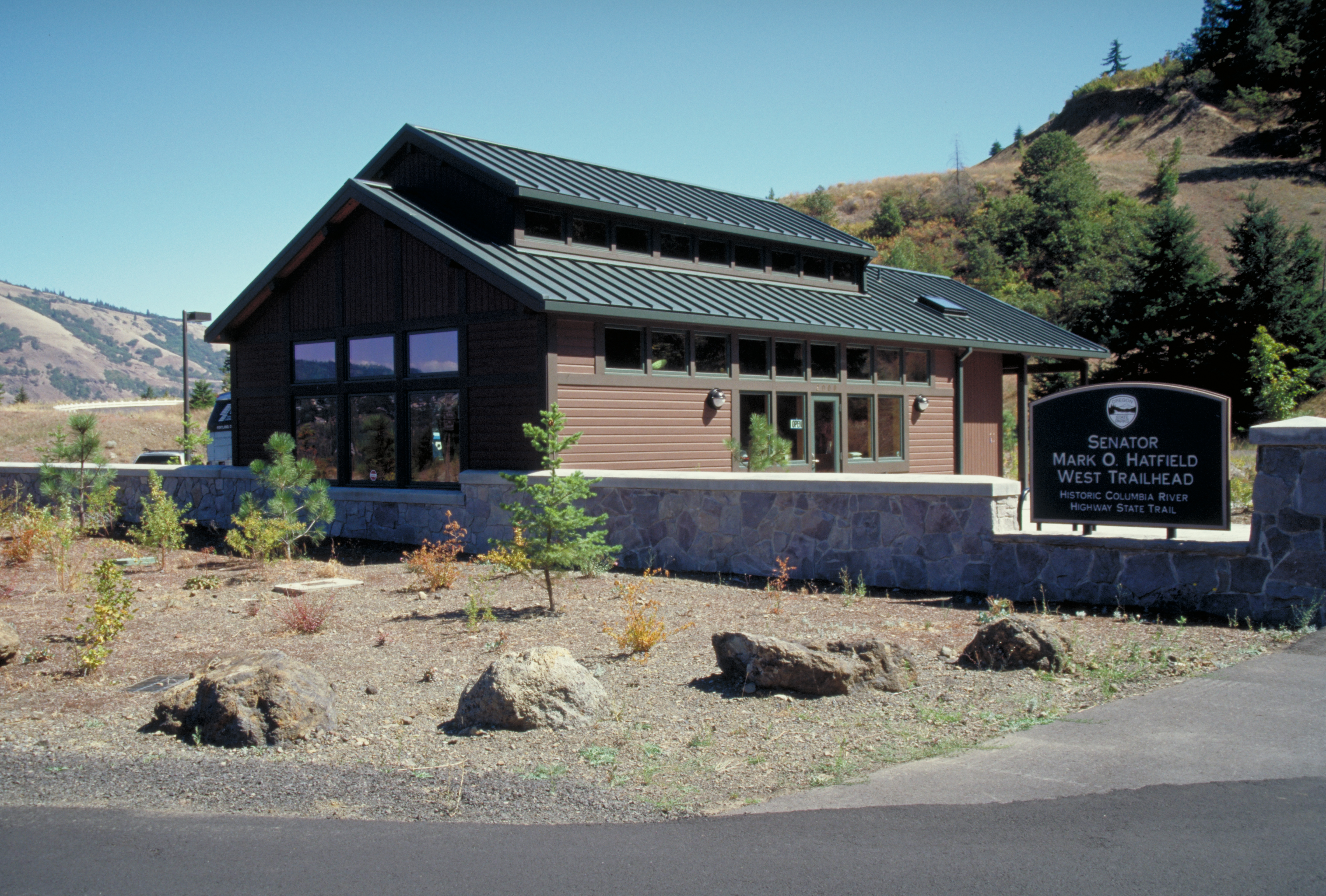
New landscaping and stone fence highlights this fine visitor center on the Historic Columbia River Highway's eastern part.
Public Domain. Photo by Dennis Adams
Download Original (3030 x 2048 pixels, 4418.4 MB)
-
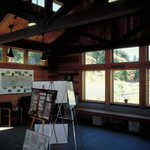
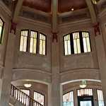
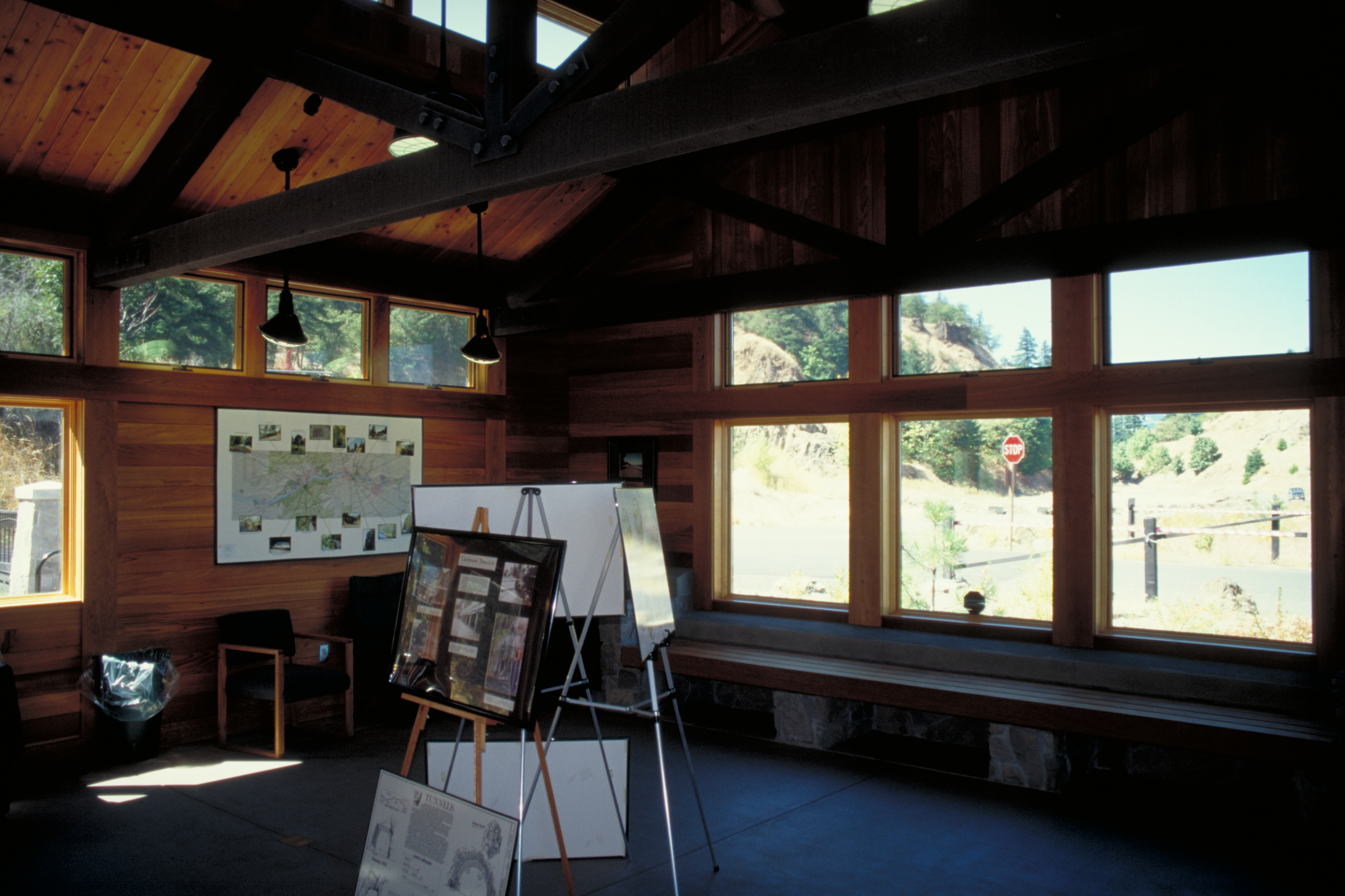
The inside of the visitor center has literature and displays, but visitors may also enjoy its large pane-glass windows.
Public Domain. Photo by Dennis Adams
Download Original (3072 x 2048 pixels, 3306.6 MB)
-
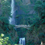
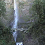
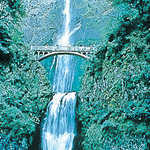
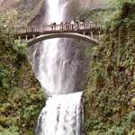
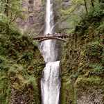
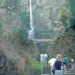
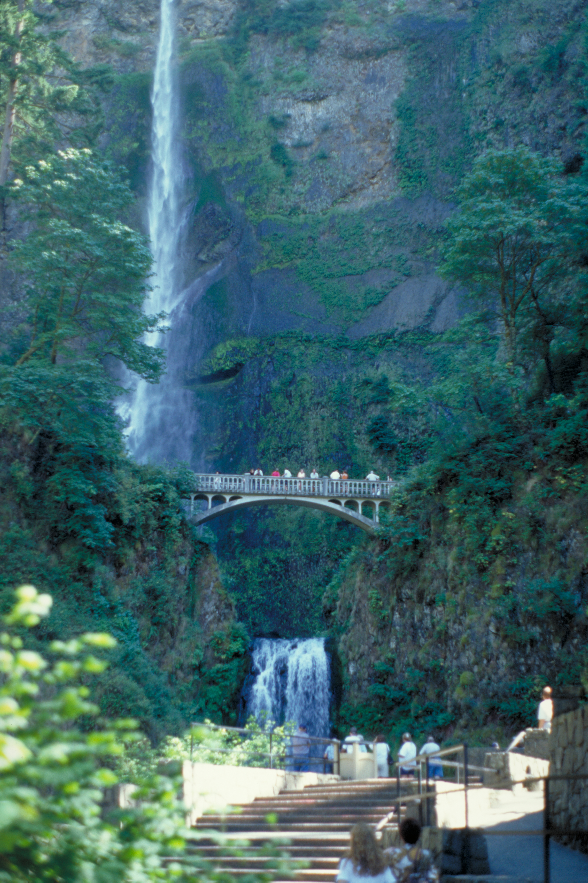
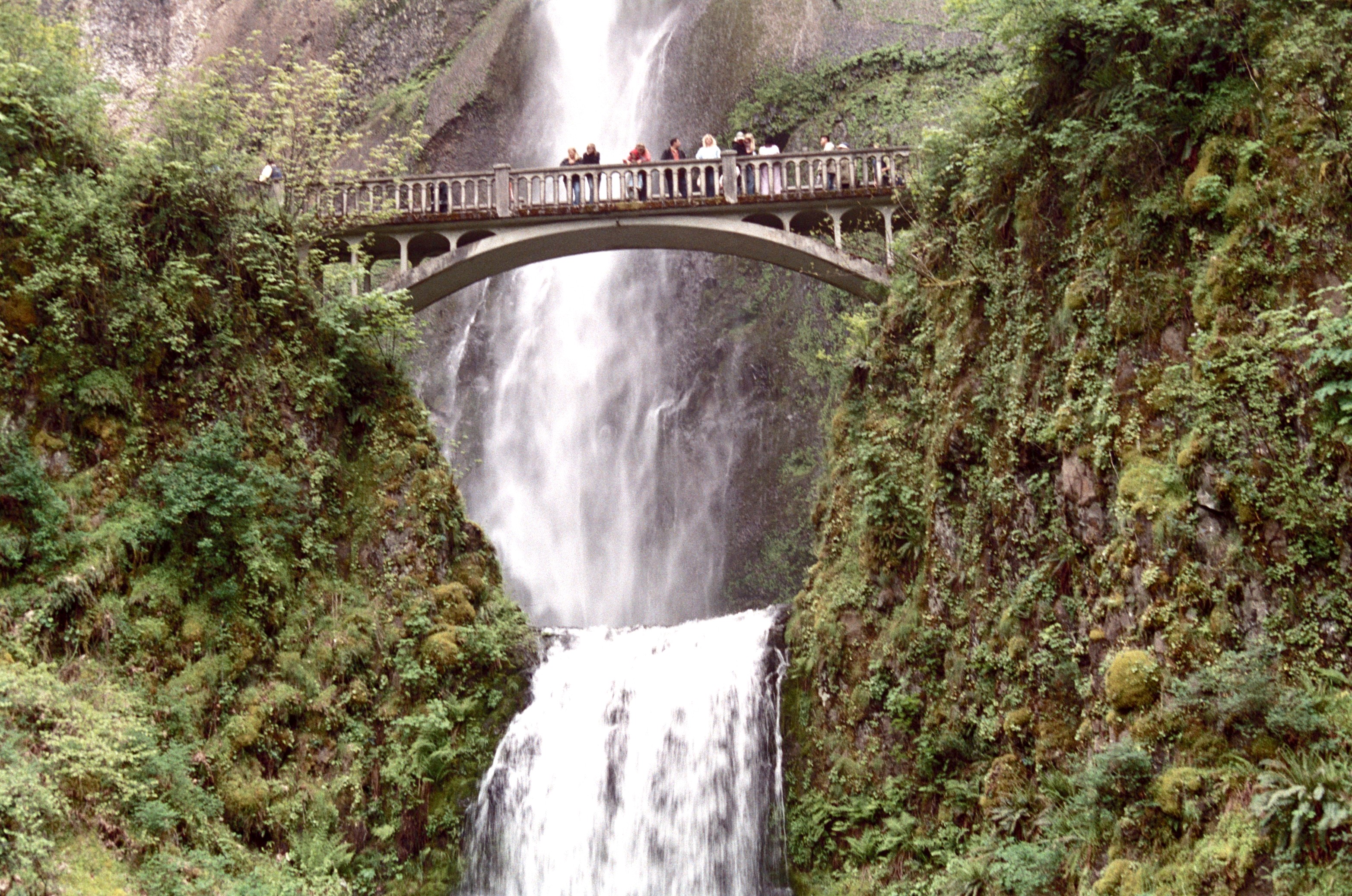
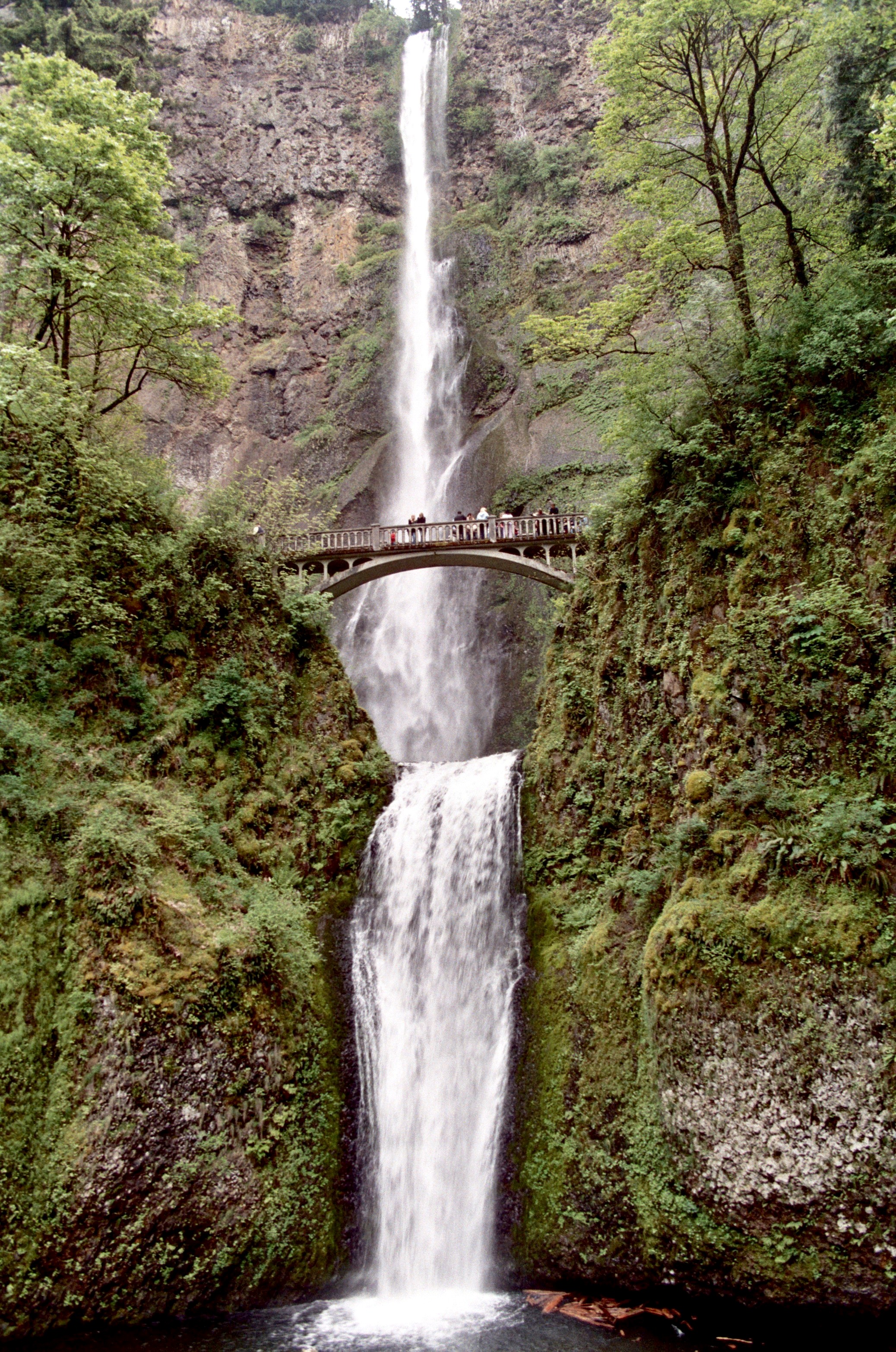
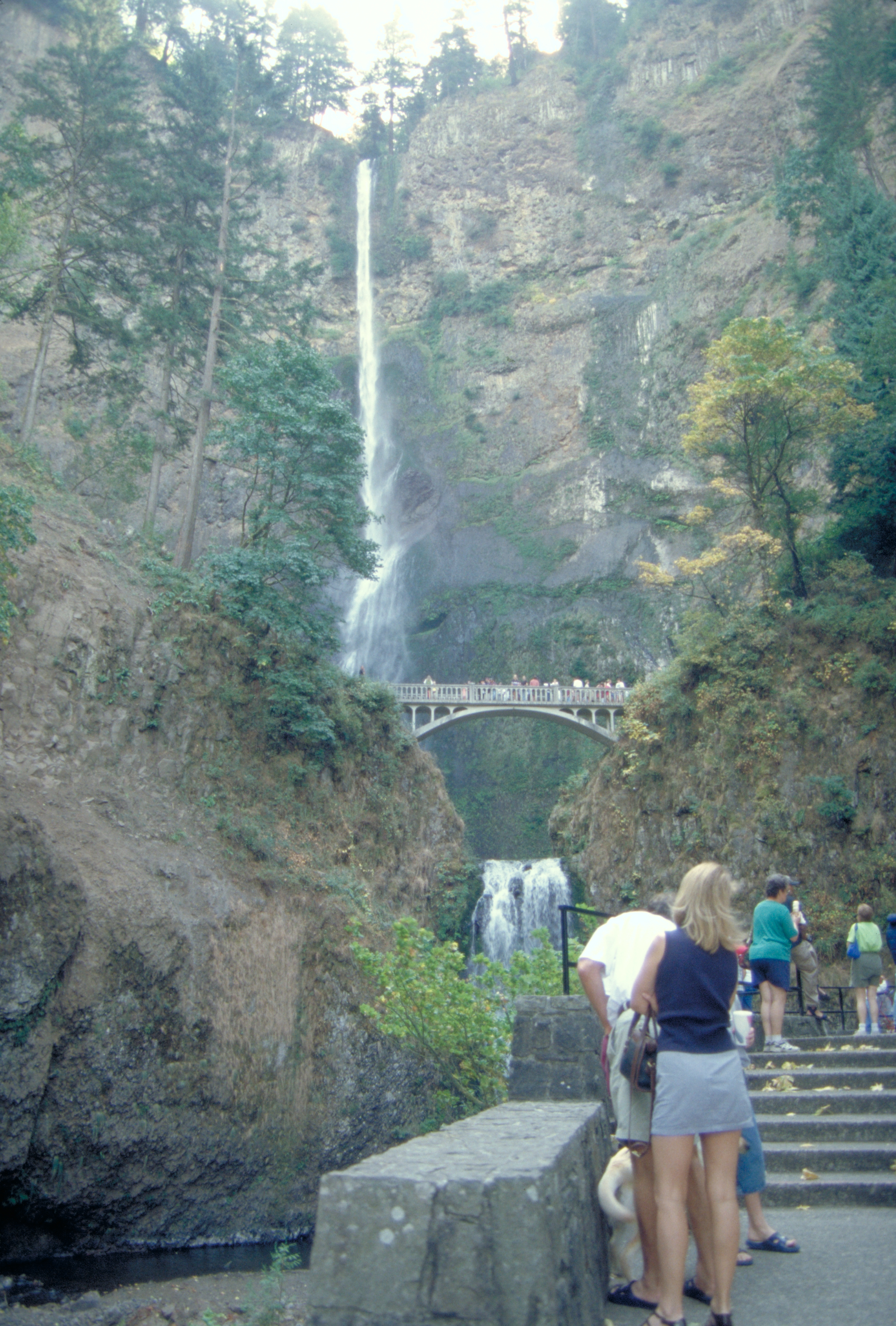
The viewing bridge across the lower falls with the lovely long fall against the cliffs behind make a perfect photo.
Public Domain. Photo by Dennis Adams
Download Original (2048 x 3072 pixels, 4640.1 MB)
-
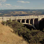
Elegant design went into many bridges on the Historic Columbia River Highway.
Public Domain. Photo by Dennis Adams
Download Original (2916 x 1978 pixels, 4148.1 MB)
-
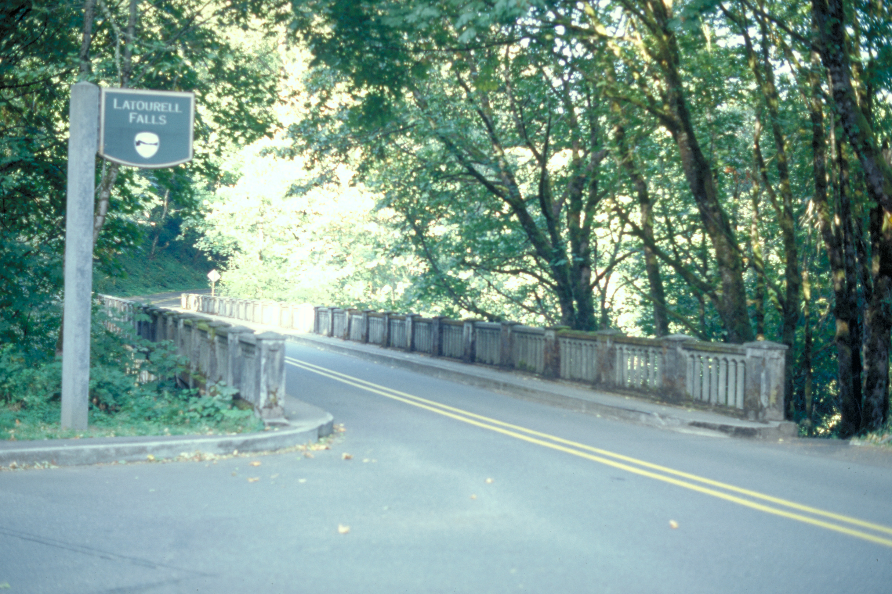
Even though the sign for Latourell Falls is posted on a lampost, it is still consistent in style with the rest of the signs for attractions that are shown along the Historic Columbia River Highway.
Public Domain. Photo by Dennis Adams
Download Original (2922 x 1948 pixels, 3888.1 MB)
-
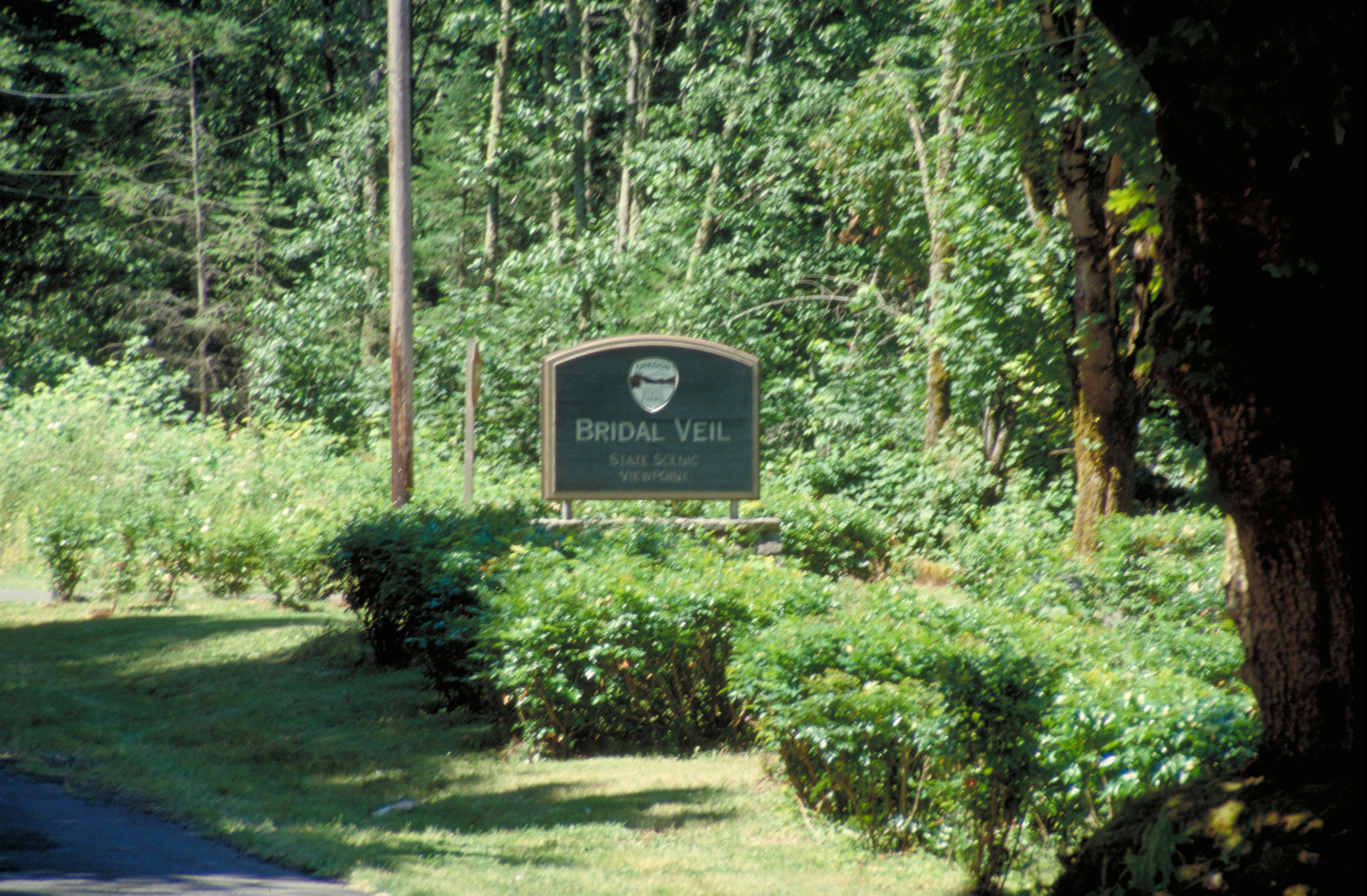
A Bridal Veil Falls stands on a low base, but still matches the same style as the other attraction signs along the Byway.
Public Domain. Photo by Dennis Adams
Download Original (2970 x 1948 pixels, 4330.6 MB)
-
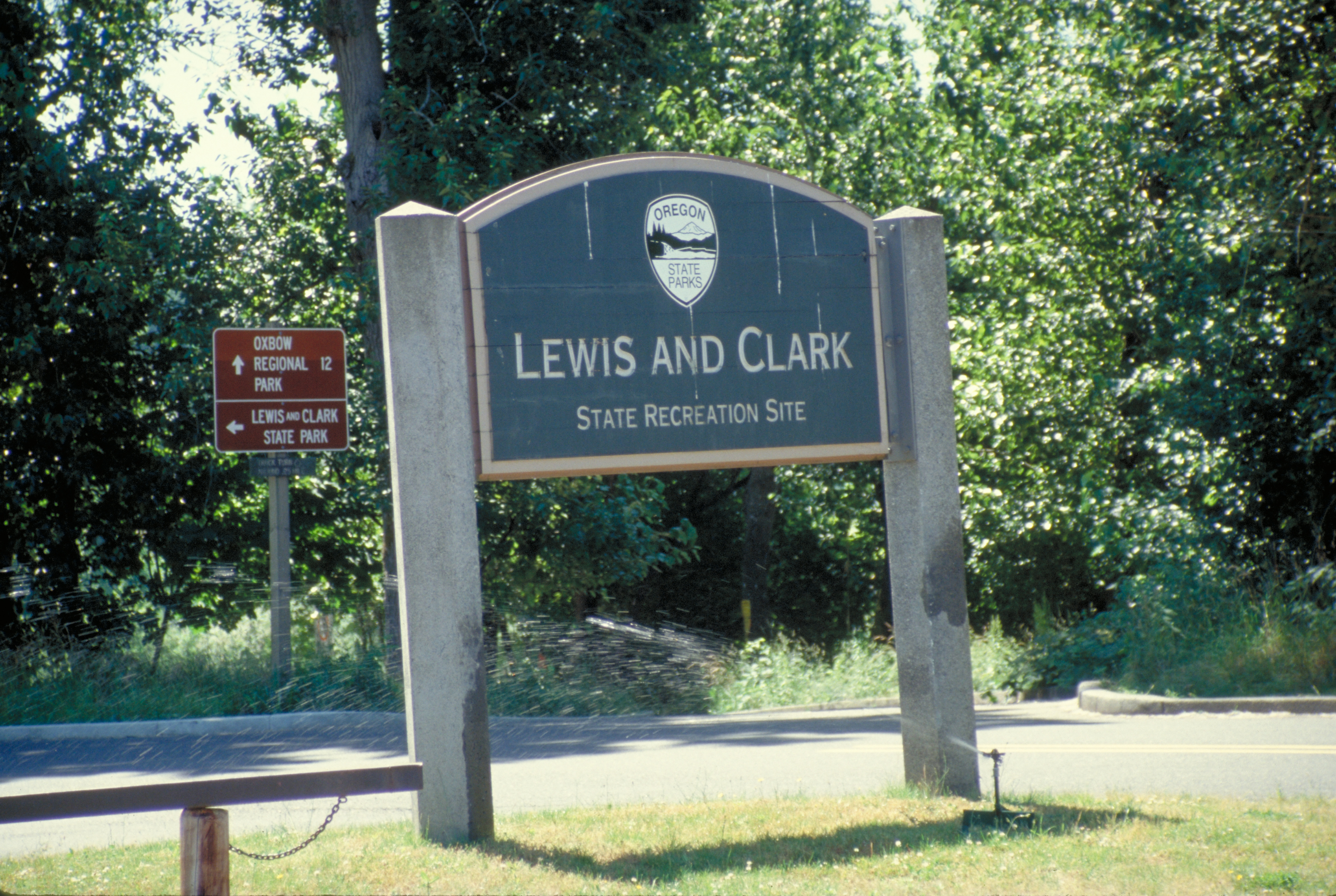
Consistency in signage along this Byway extends even to State Recreation areas.
Public Domain. Photo by Dennis Adams
Download Original (2904 x 1948 pixels, 4367.9 MB)
-
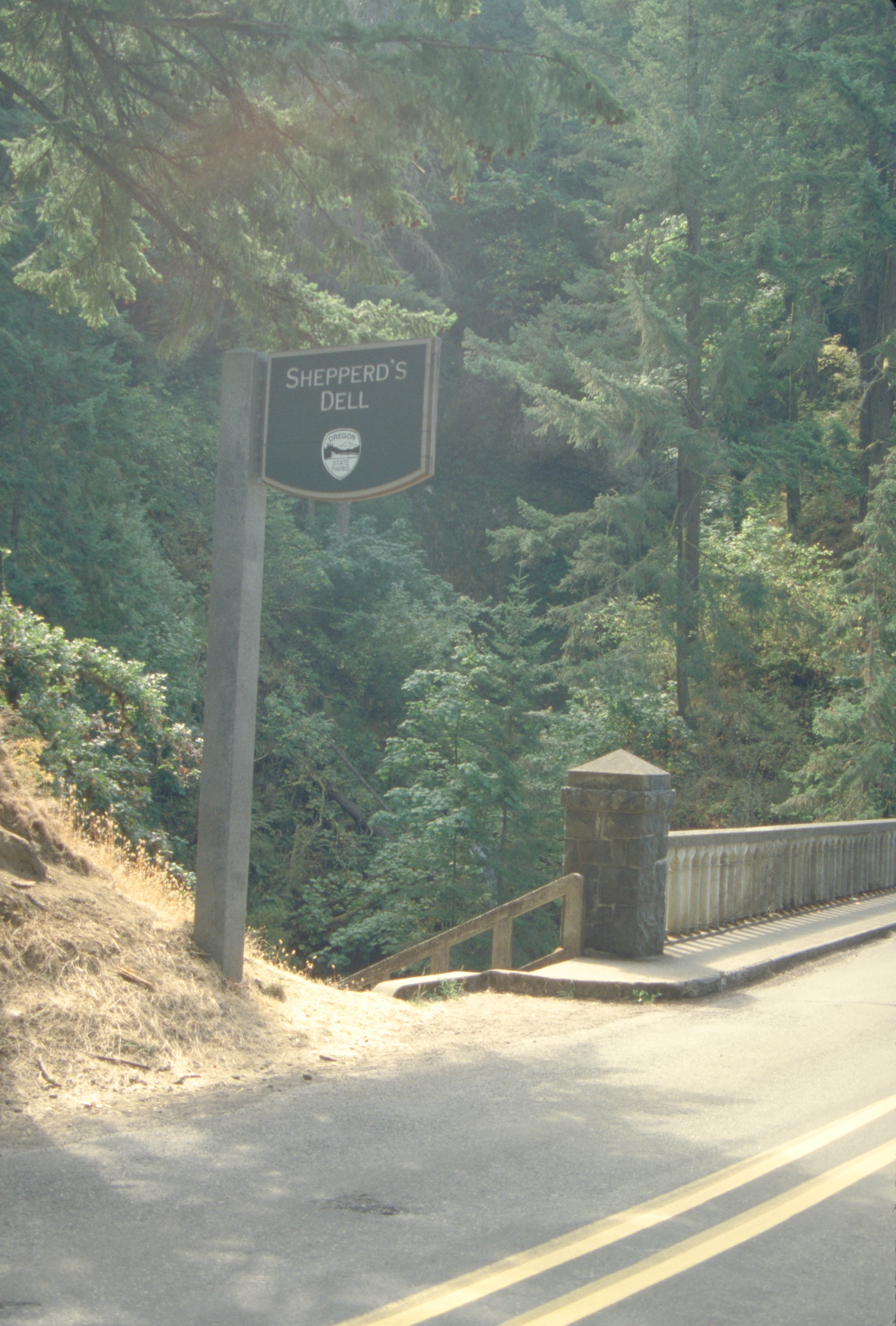
The sunlight streaming through the trees creates a glare on this view of the tall post sign for Shepperd's Dell
Public Domain. Photo by Dennis Adams
Download Original (1972 x 2916 pixels, 3847.4 MB)
-
Evergreen and dry-region vegetation stand behind this overlook sign on the Historic Columbia River Highway.
Public Domain. Photo by Dennis Adams
Download Original (2904 x 1960 pixels, 4515.6 MB)
-
A plaque on a stone stands next to this entrance sign.
Public Domain. Photo by Dennis Adams
Download Original (2940 x 1942 pixels, 4003.2 MB)
-
People explore the Rowena Loops Overlook on the Historic Columbia River Highway near an interpretive sign.
Public Domain. Photo by Dennis Adams
Download Original (2048 x 3072 pixels, 4117.7 MB)
-
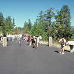
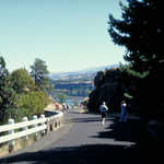
A crowd of hikers walk on the Historic Columbia River Highway
Public Domain. Photo by Dennis Adams
Download Original (3072 x 2048 pixels, 4626.7 MB)
-
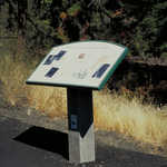
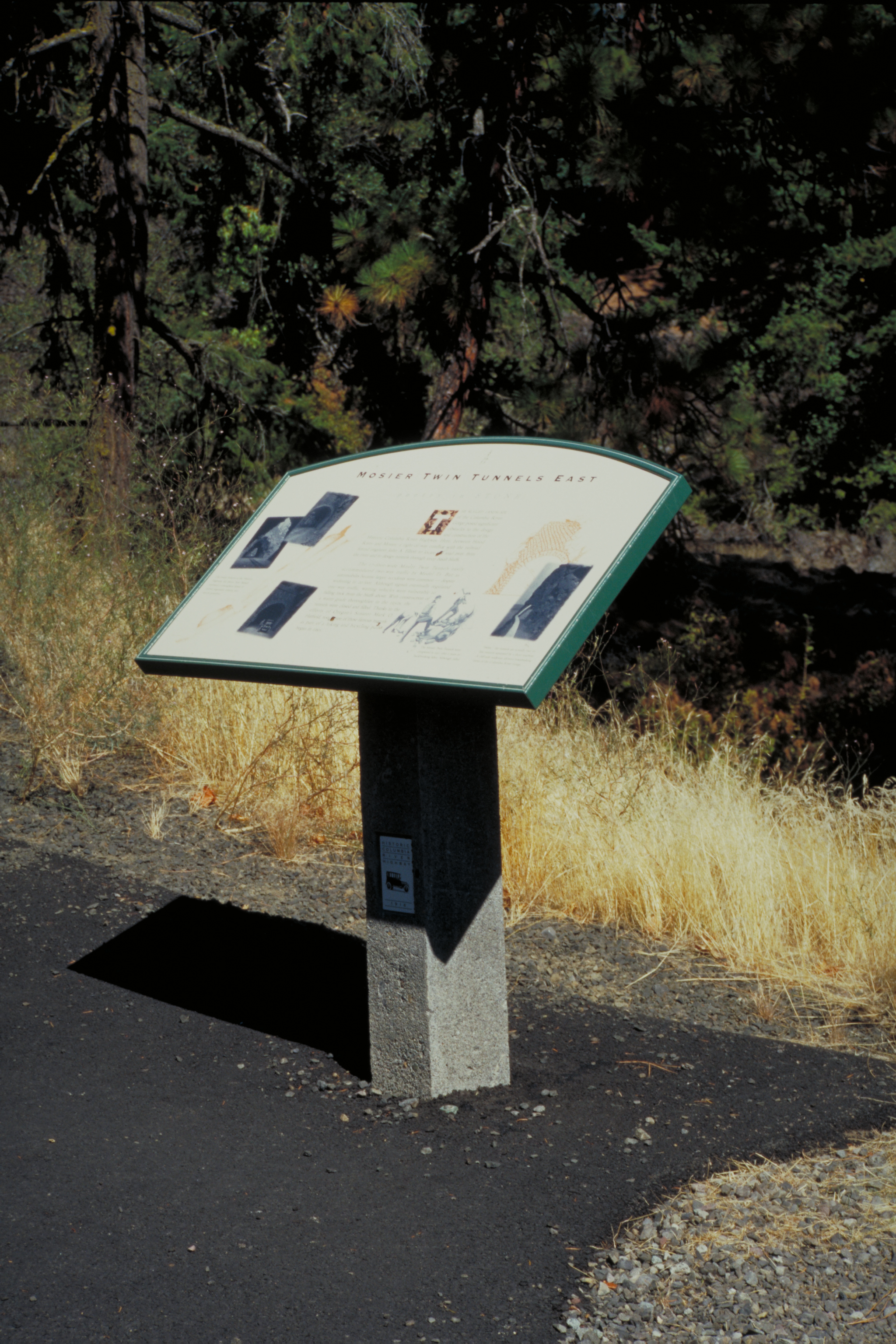
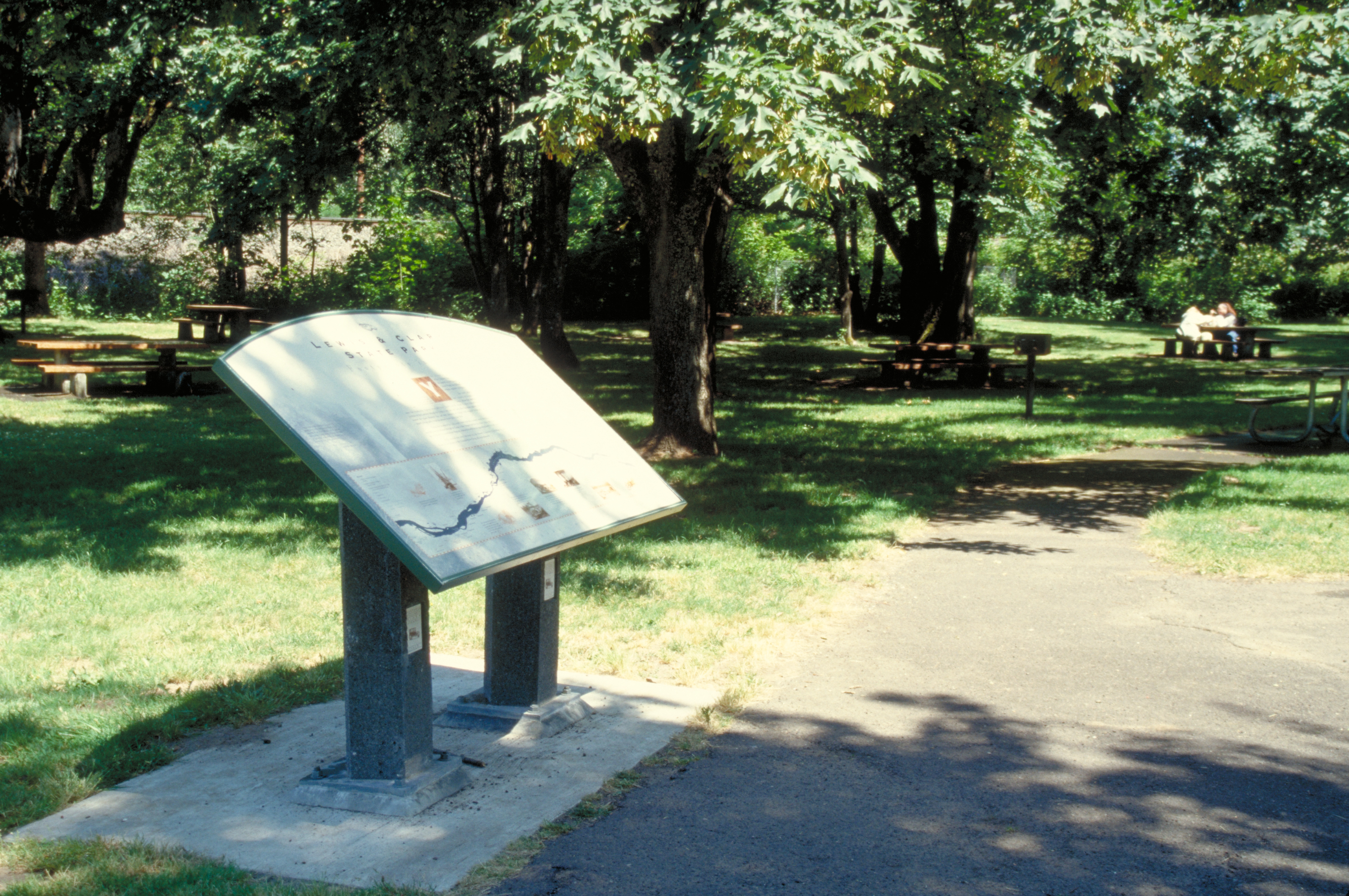
This shows a free-standing interpretive sign on Historic Columbia River Highway
Public Domain. Photo by Dennis Adams
Download Original (2048 x 3072 pixels, 3746.9 MB)
-
A crowd of hikers walk on the Historic Columbia River Highway.
Public Domain. Photo by Dennis Adams
Download Original (3054 x 2048 pixels, 4865.2 MB)
-

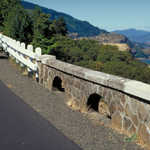
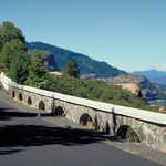
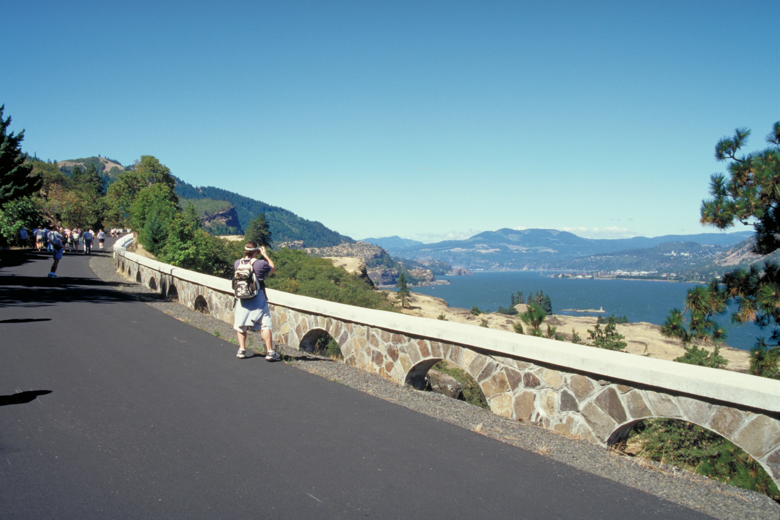
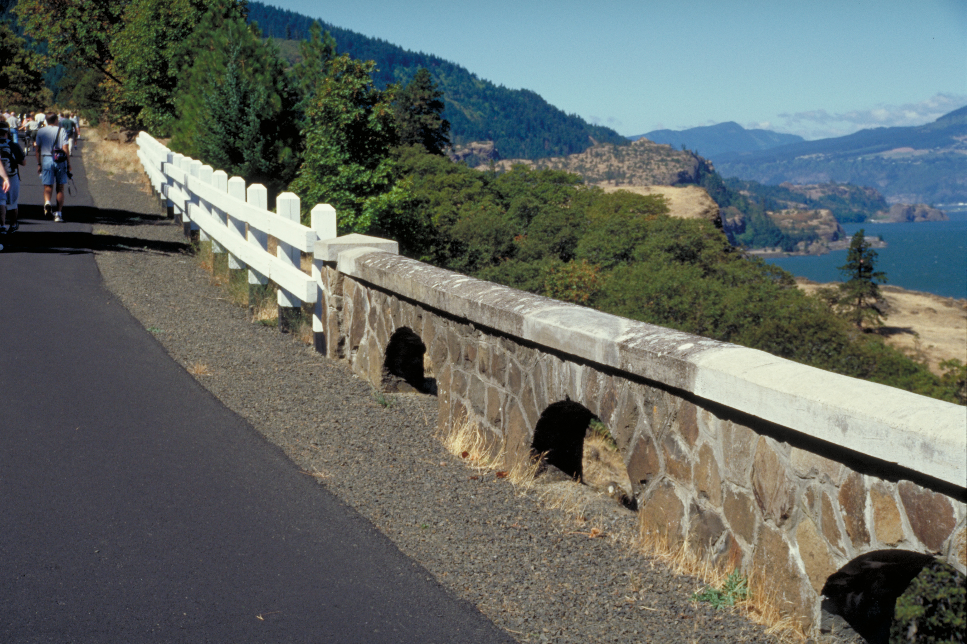
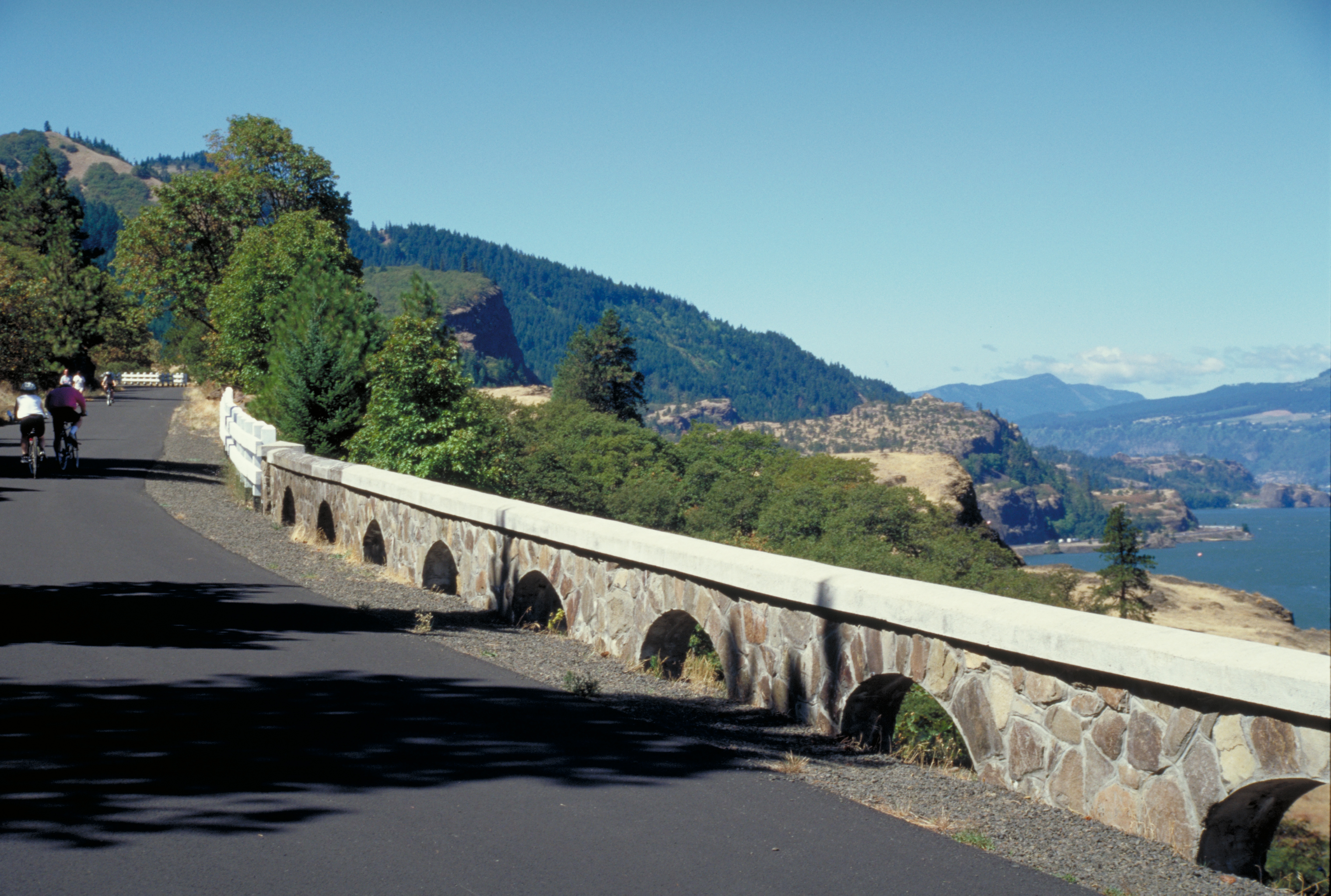
Hikers walk past a beautifully restored stone railing on a pedestrian-only section of the Byway.
Public Domain. Photo by Dennis Adams
Download Original (3072 x 2048 pixels, 3976.8 MB)
-
The old wooden roadside railings conjoin the restored and original stone roadside railings on this section of the Historic Columbia River Highway
Public Domain. Photo by Dennis Adams
Download Original (3072 x 2048 pixels, 4104.3 MB)
-
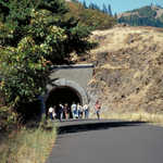
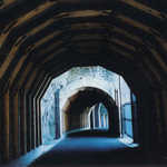
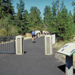
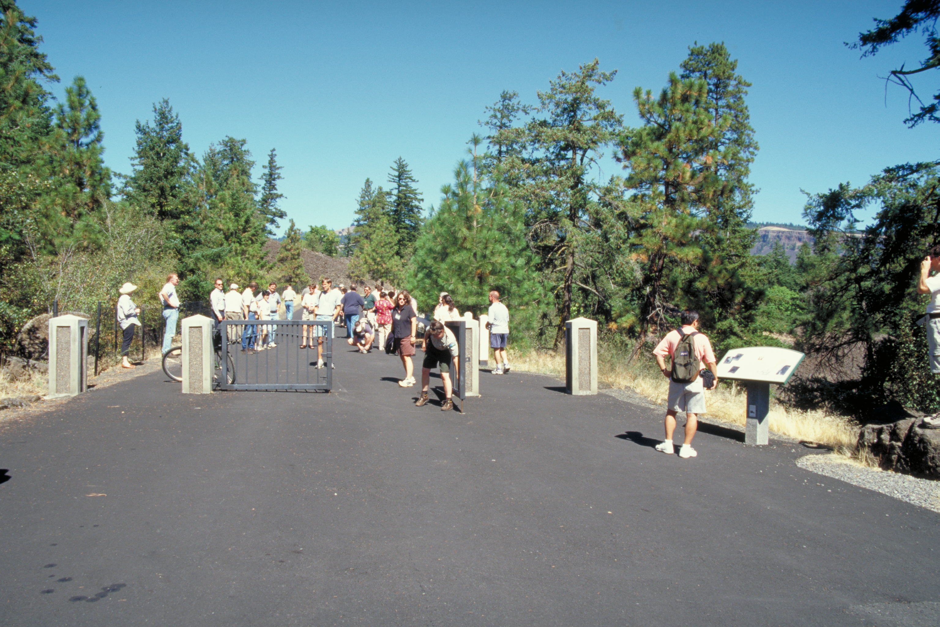
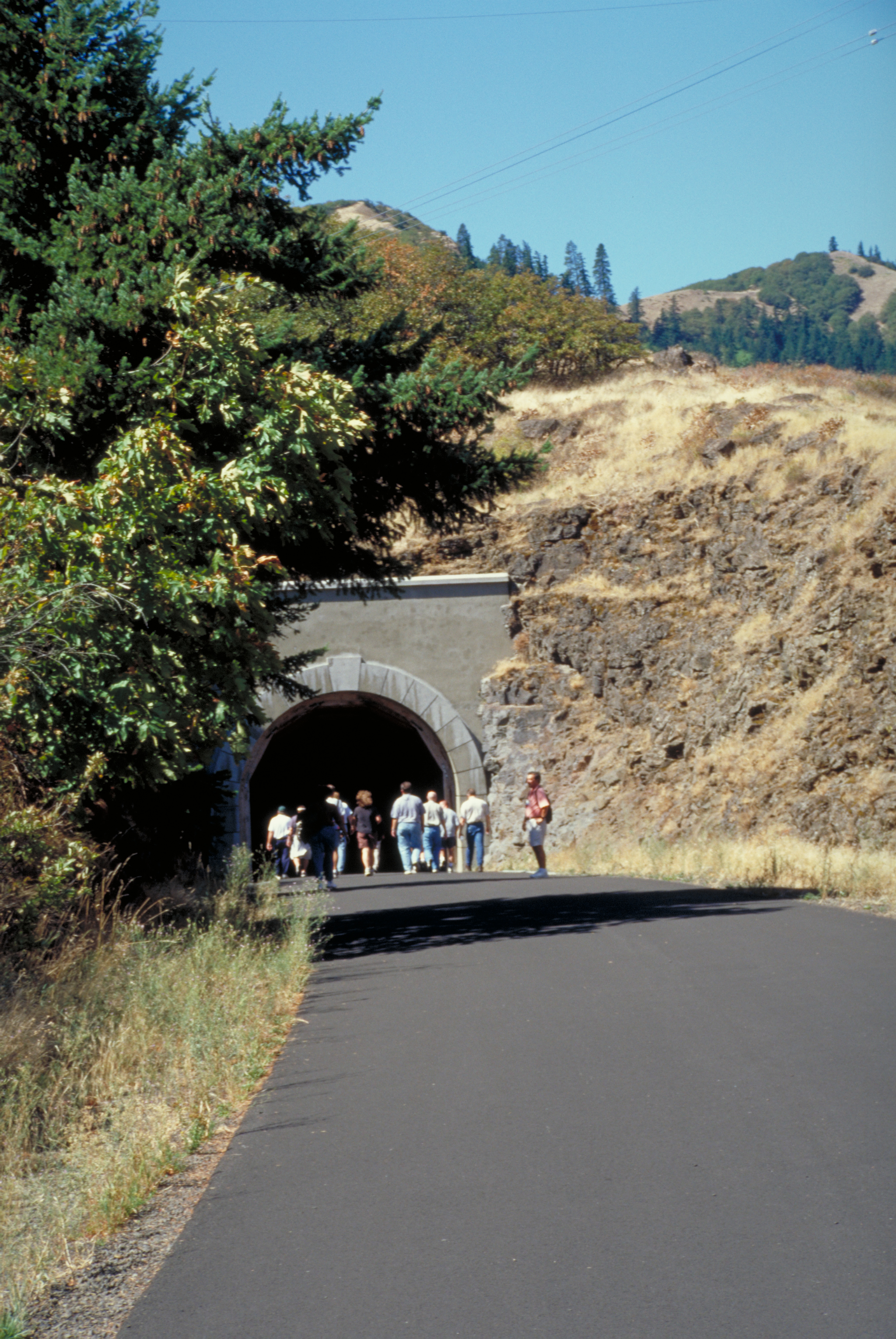
A crowd of people enter one of the tunnels on a pedestrian-only section of the Highway.
Public Domain. Photo by Dennis Adams
Download Original (2048 x 3060 pixels, 4228.6 MB)
-
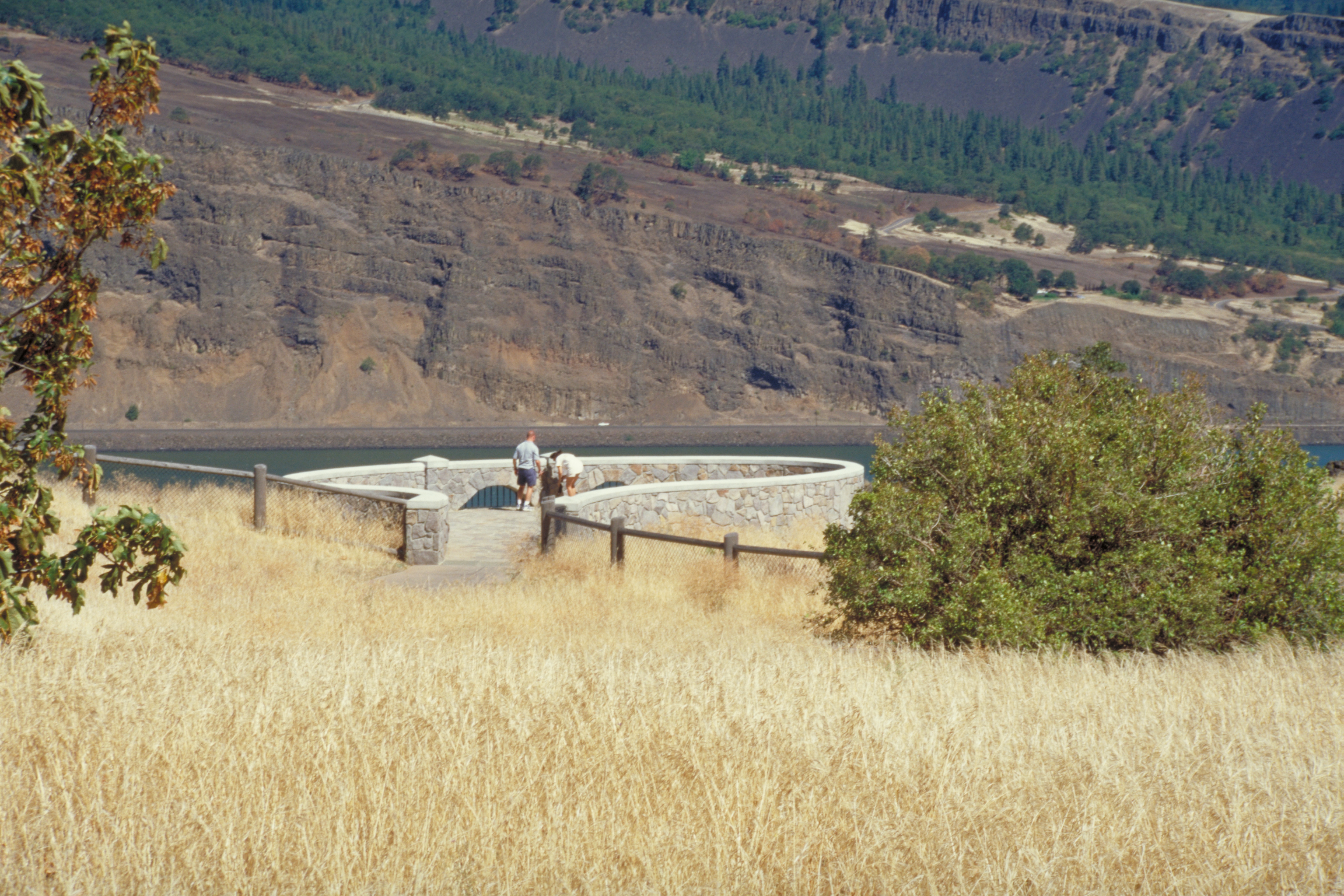
People look out from a circular stone walled overlook on the Byway.
Public Domain. Photo by Dennis Adams
Download Original (3072 x 2048 pixels, 4443.2 MB)
-
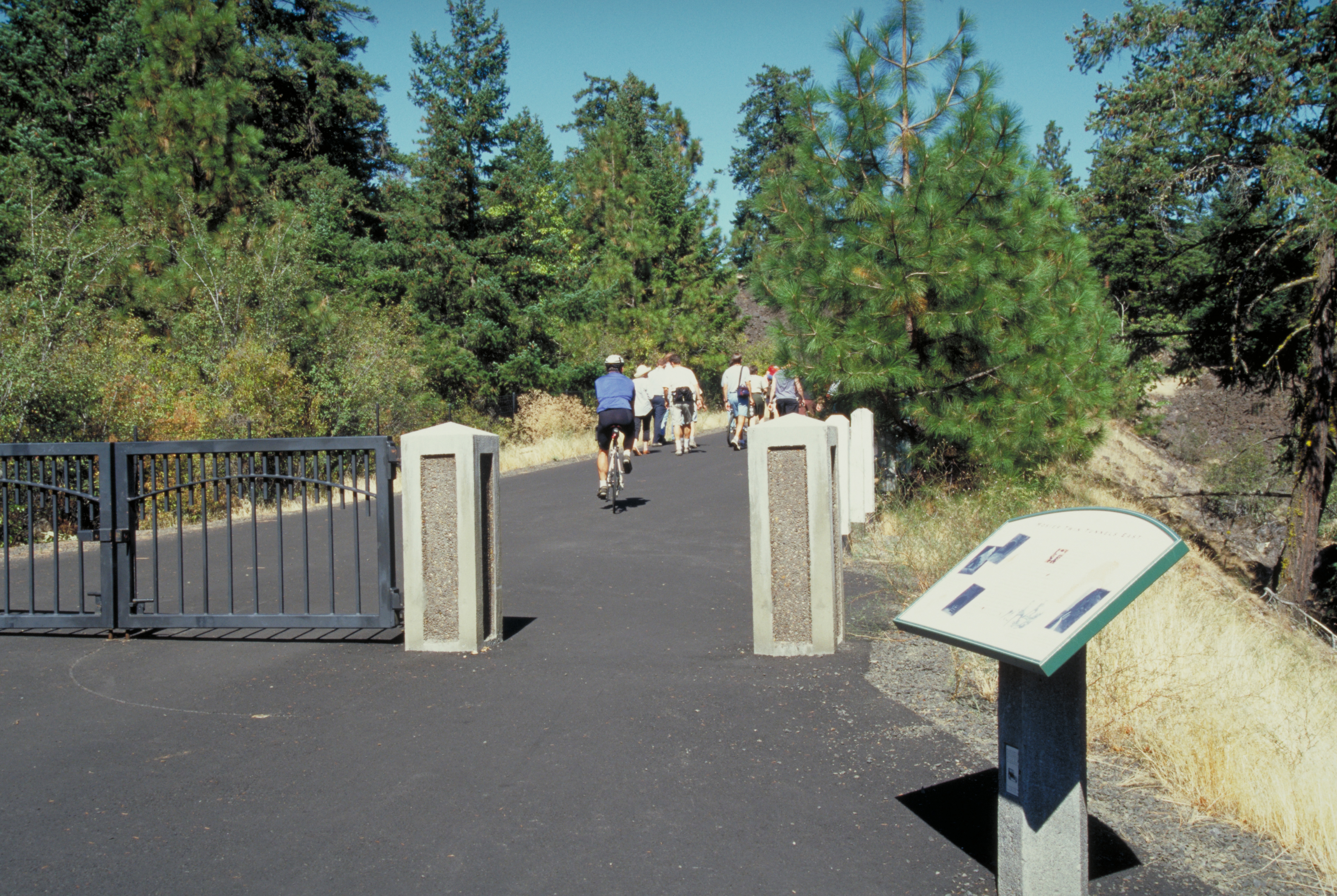
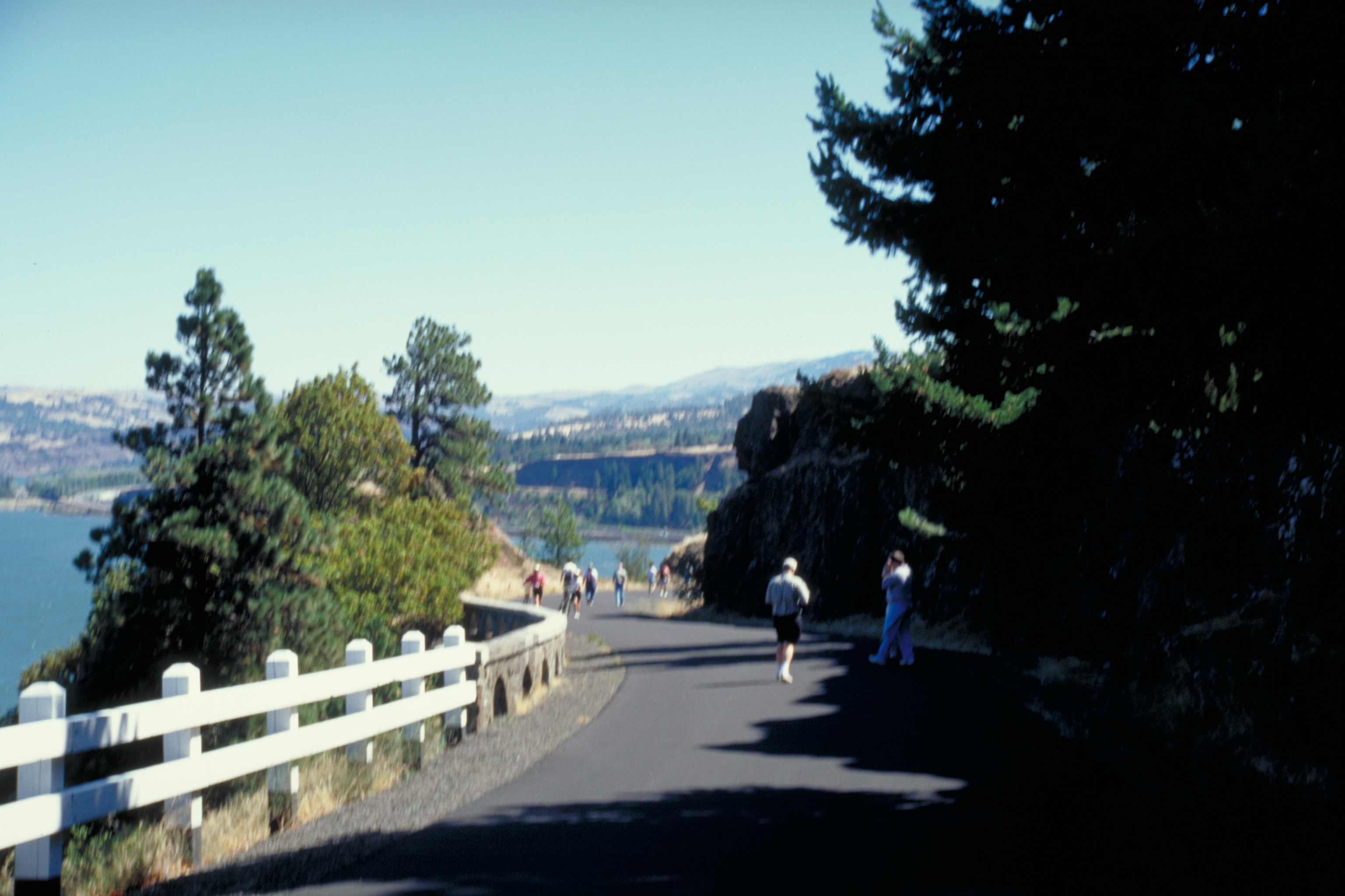
Strong shadows cross the trail on the non-motor-travel section of the Byway.
Public Domain. Photo by Dennis Adams
Download Original (3072 x 2048 pixels, 2704.9 MB)
-
Hikers walk past a beautifully restored stone railing on a pedestrian-only section of the Byway.
Public Domain. Photo by Dennis Adams
Download Original (3042 x 2048 pixels, 3828.3 MB)
-
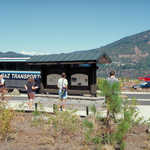
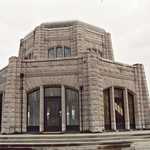
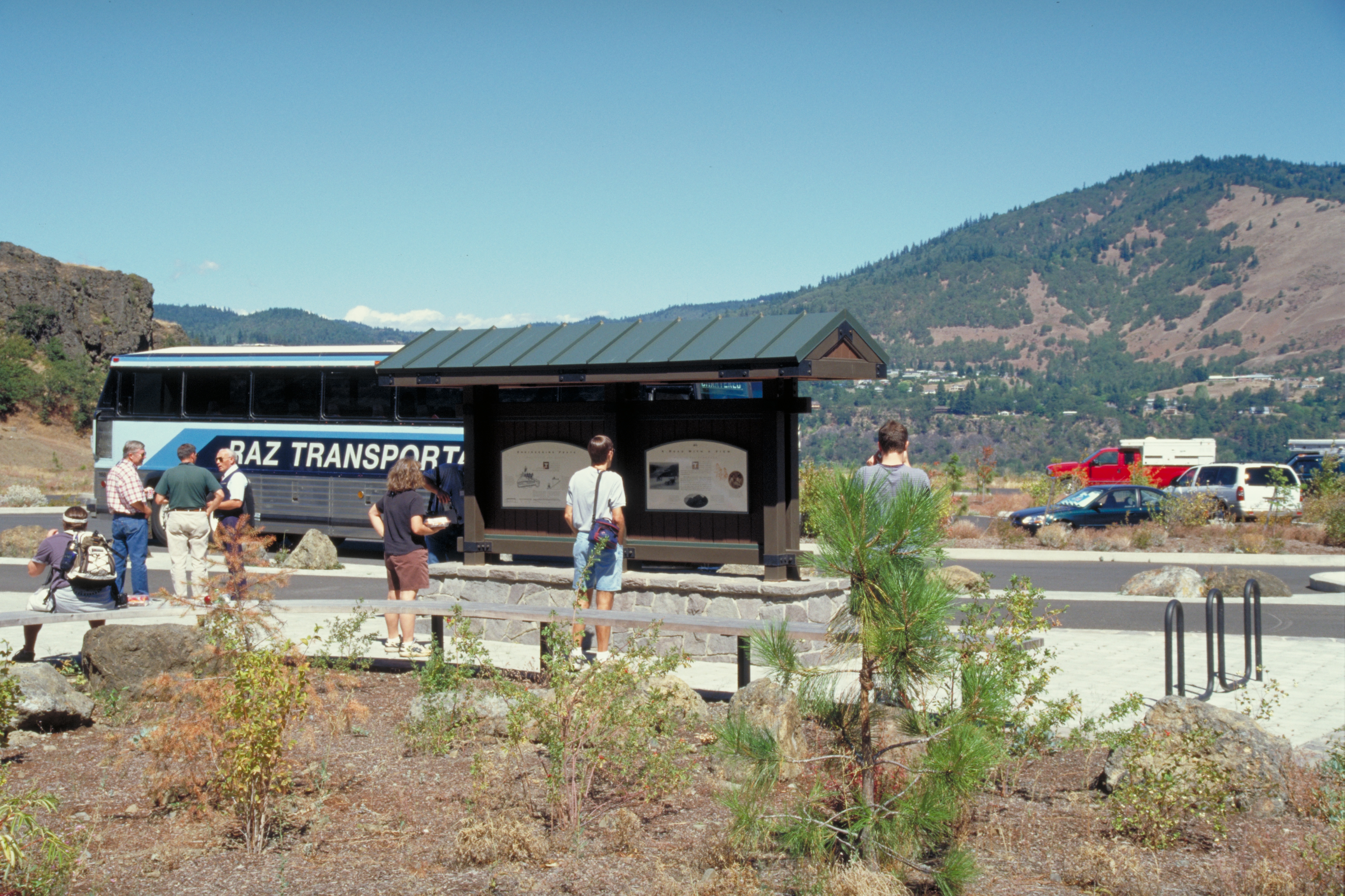
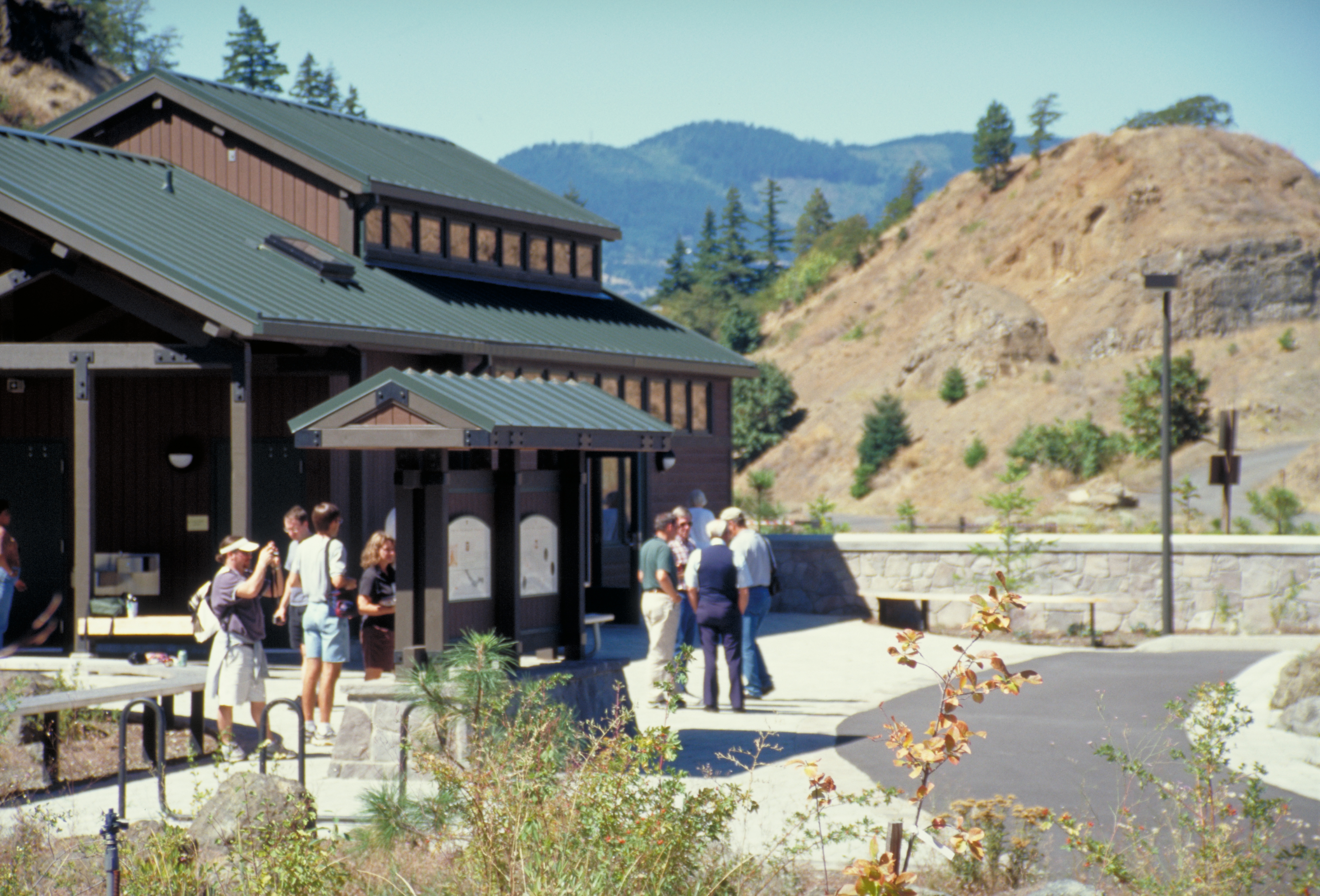
A tour group wander outside the Mark O. Hatfield West Trailhead and Visitor Center.
Public Domain. Photo by Dennis Adams of FHWA
Download Original (3072 x 2048 pixels, 4498.1 MB)
-
A tour group wanders outside the Mark O. Hatfield West Trailhead and Visitor Center.
Public Domain. Photo by Dennis Adams of FHWA
Download Original (2928 x 2048 pixels, 4085.3 MB)
-
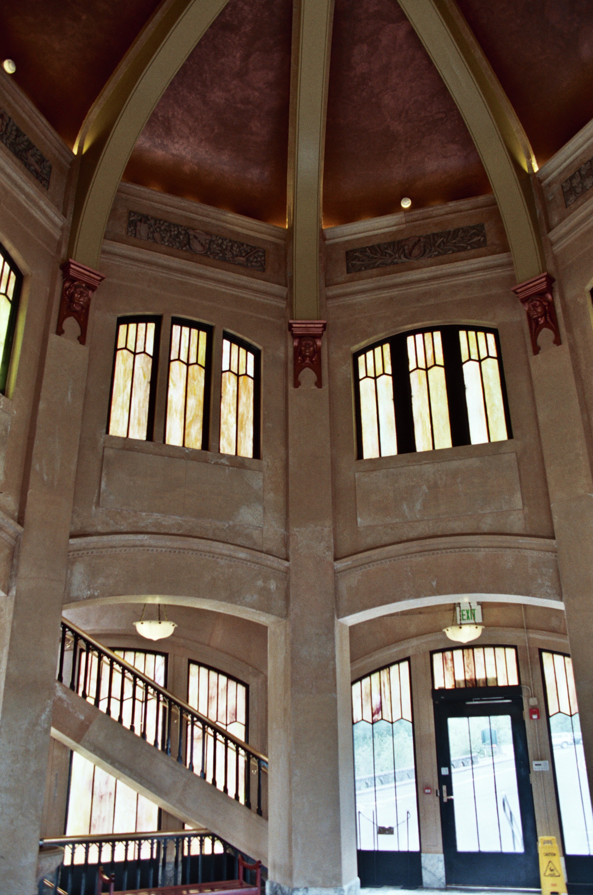
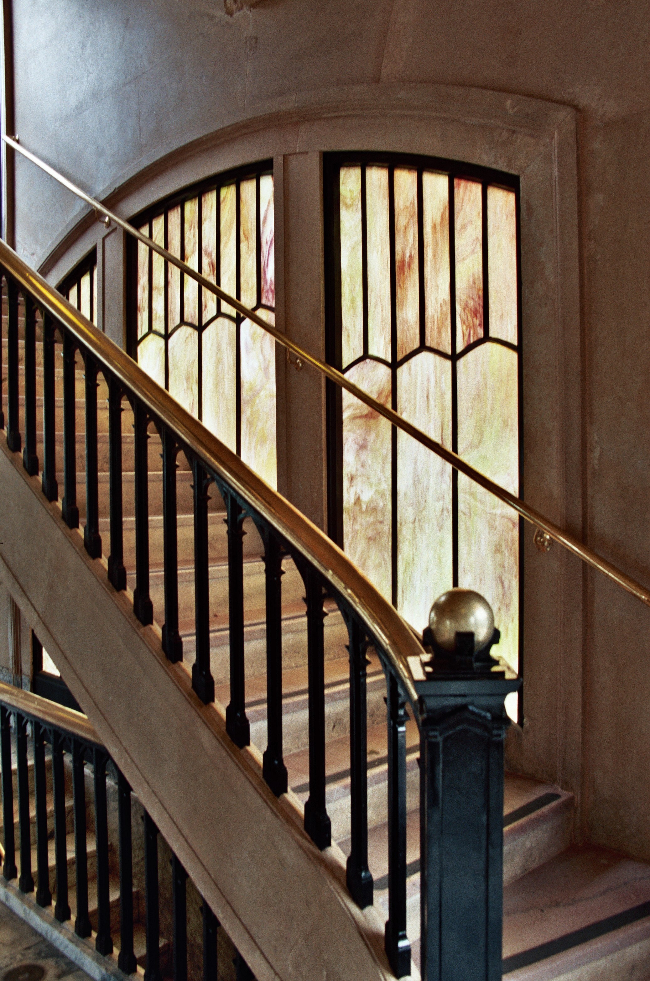
A vaulted ceiling surrounded by tall stained glass windows lines the dome inside the Vista House at Crown Point on the Historic Columbia River Highway.
© June 2007 Bob Ward.
Download Original (2075 x 3130 pixels, 1382.2 MB)
-
A tour group wanders outside the Mark O. Hatfield West Trailhead and Visitor Center.
Public Domain. Photo by Dennis Adams of FHWA
Download Original (3018 x 2048 pixels, 3828.8 MB)
-
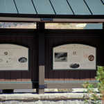
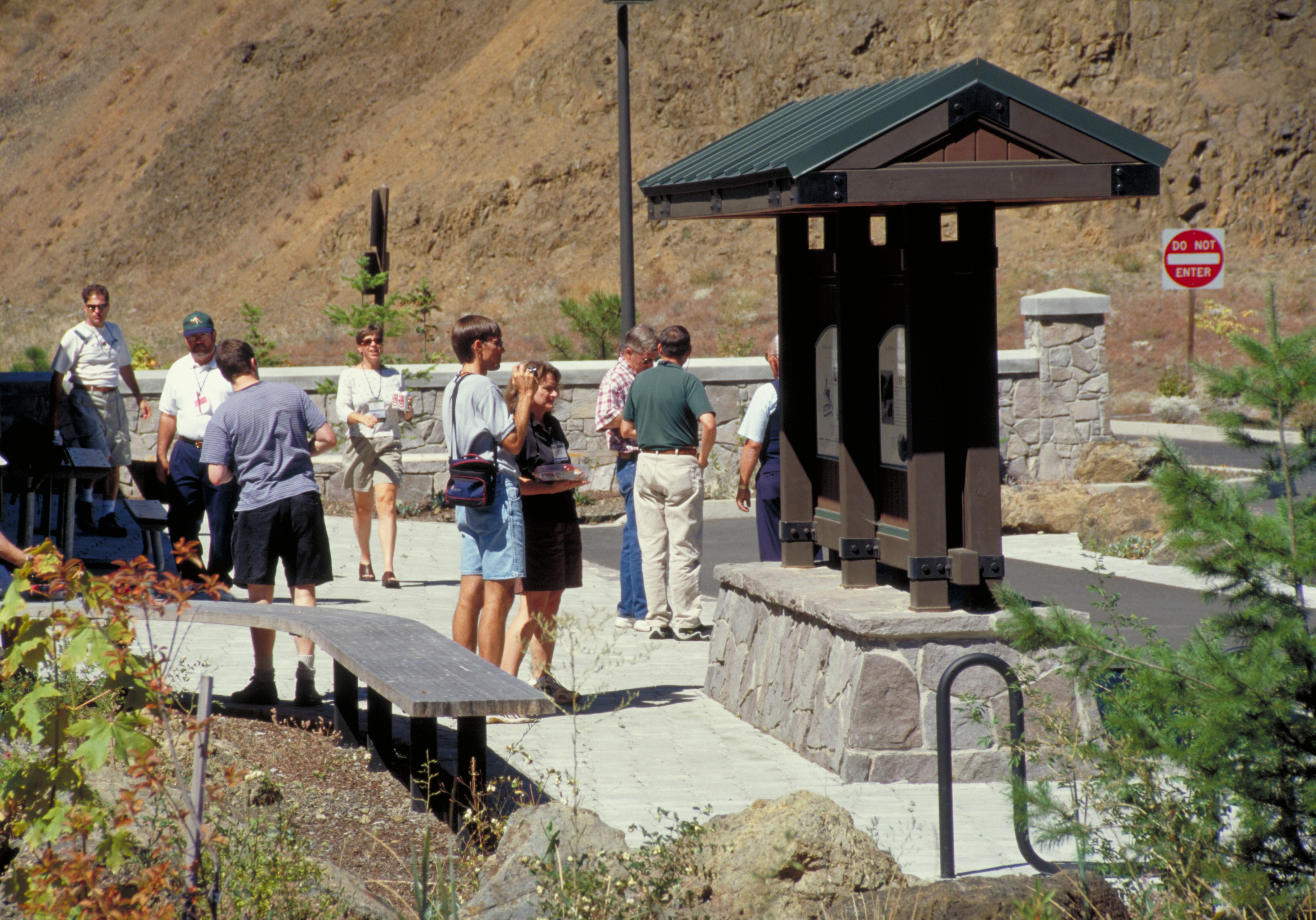
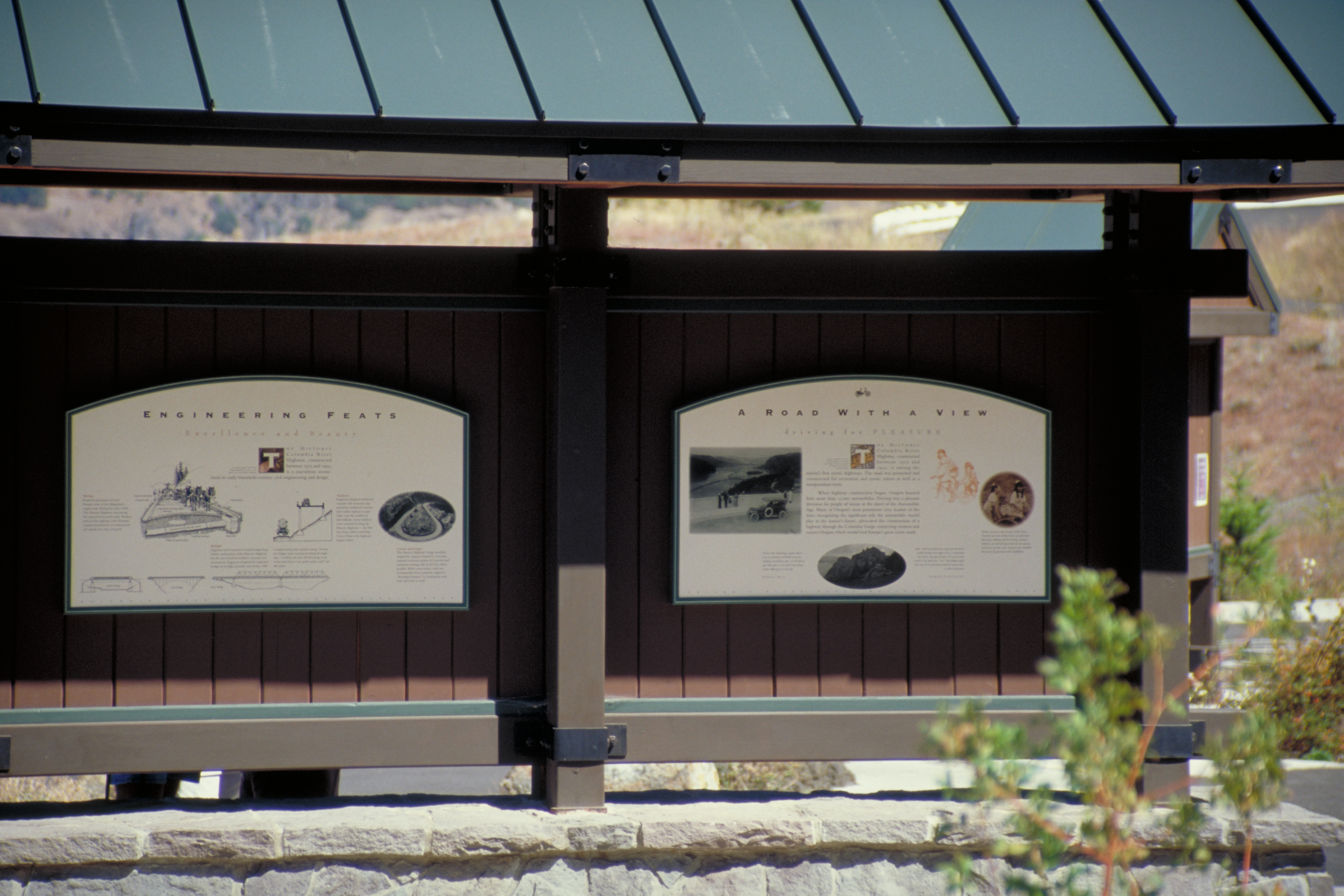
The panel design at this kiosk outside the Visitor Center at the West Trailhead is consistent with signage all along the Byway.
Public Domain. Photo by Dennis Adams of FHWA
Download Original (3072 x 2048 pixels, 3579.7 MB)
-
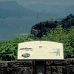
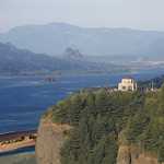
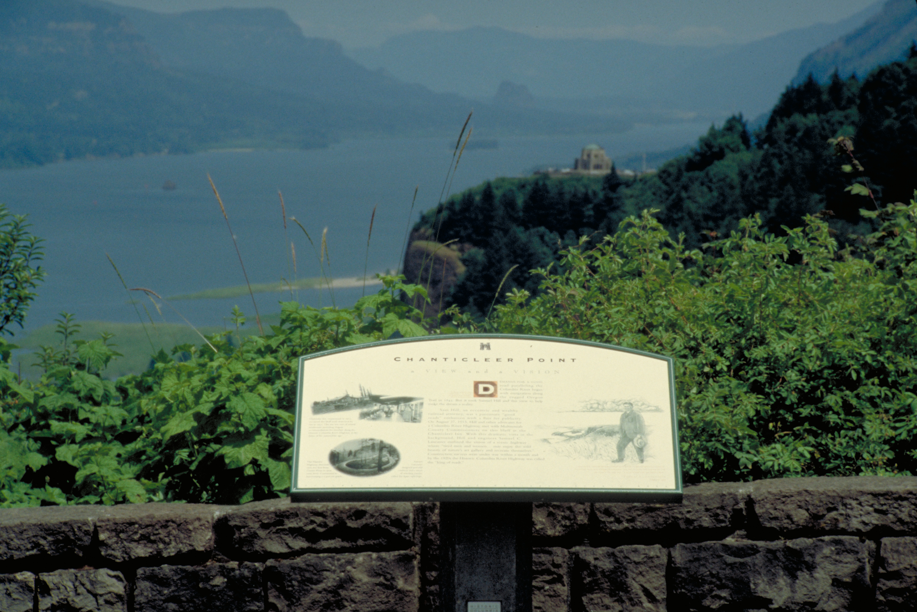
This interpretive sign at the Women's Forum Park overlook is overshadowed by the stunning view of the Gorge and Crown Point House beyond.
Public Domain. Photo by Dennis Adams of FHWA
Download Original (2946 x 1966 pixels, 4038.6 MB)
-
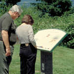
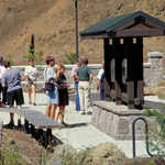
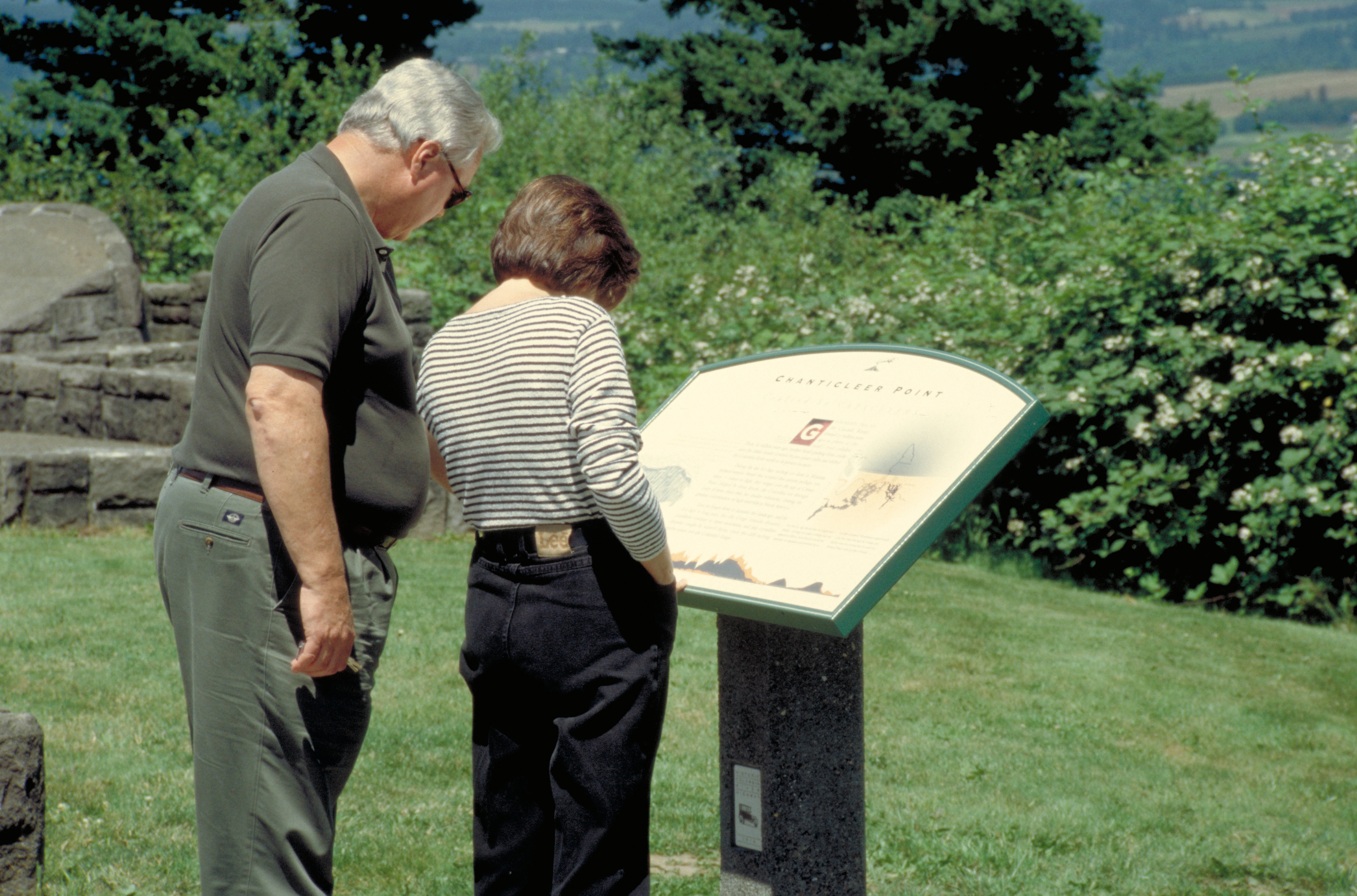
Two visitors are absorbed in this interpretive sign at Women's Forum Park on the Historic Columbia River Highway.
Public Domain. Photo by Dennis Adams of FHWA
Download Original (2940 x 1942 pixels, 3824.3 MB)
-
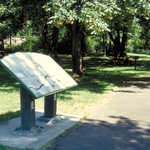
This is an example of an interpretive sign mounted on two posts.
Public Domain. Photo by Dennis Adams of FHWA
Download Original (2940 x 1954 pixels, 4441.1 MB)
-
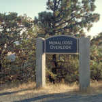
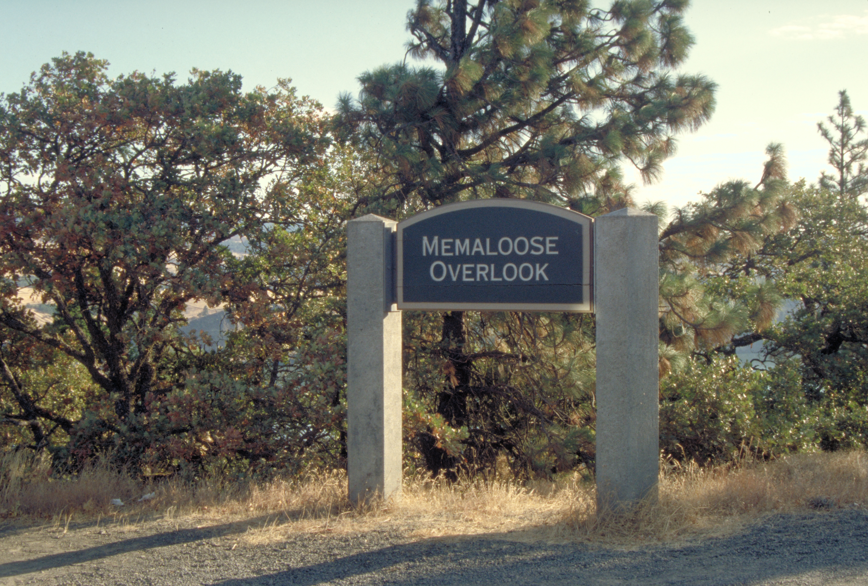
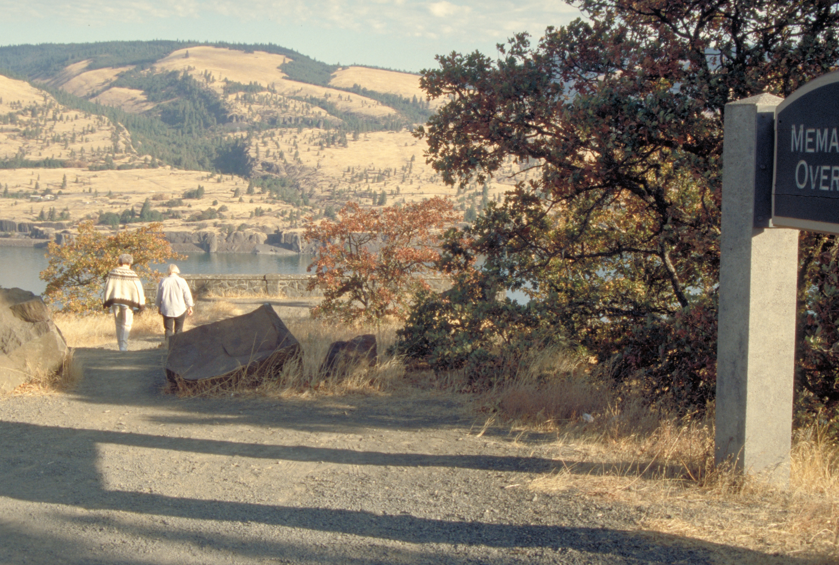
Two hikers stroll past a sign to Memaloose Overlook.
Public Domain. Photo by Dennis Adams of FHWA
Download Original (2886 x 1942 pixels, 4339.4 MB)
-
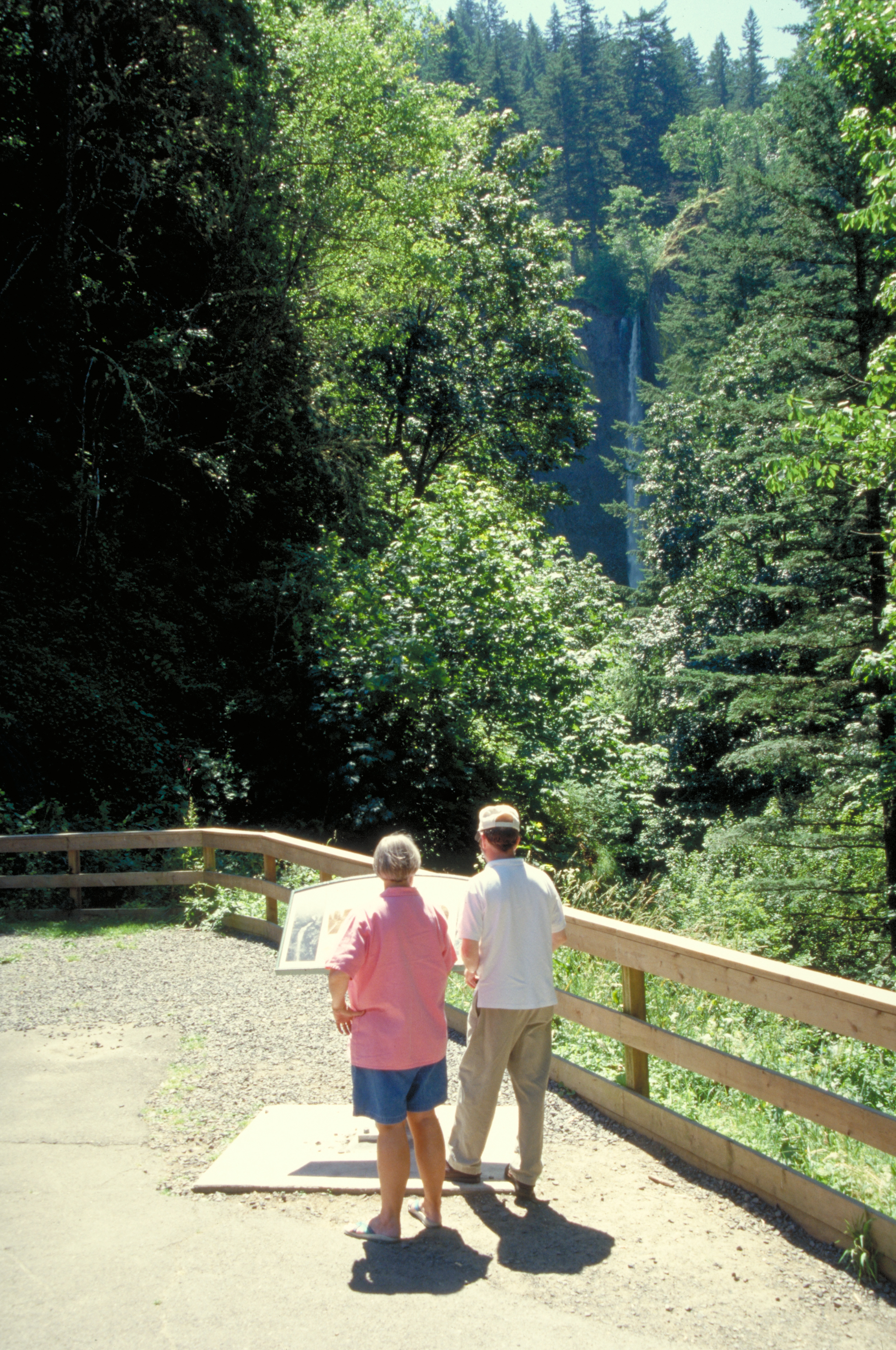
One person reads an interpretive sign set amidst a summer forest.
Public Domain. Photo by Dennis Adams of FHWA
Download Original (2940 x 1948 pixels, 4189.8 MB)
-
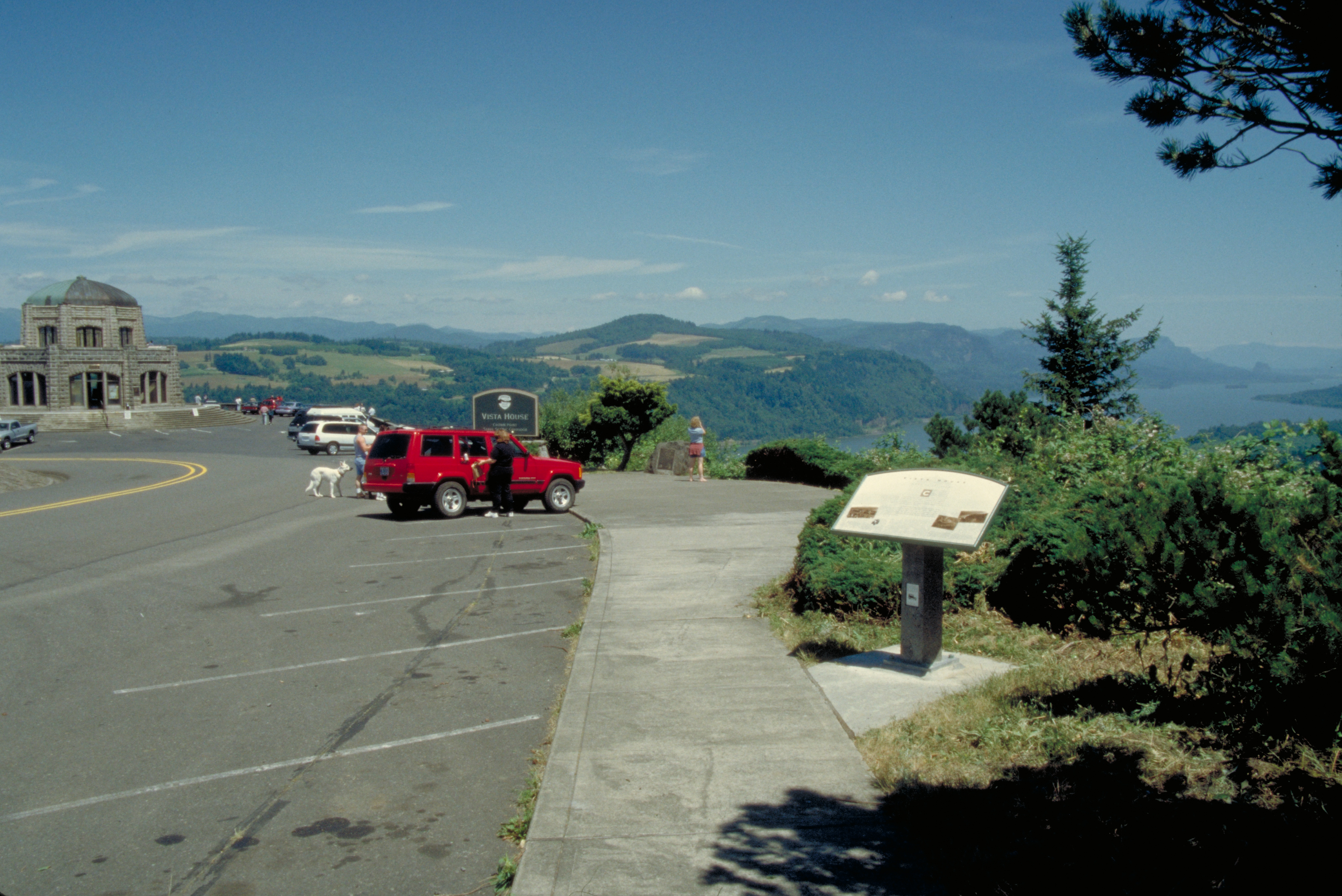
Cars park at the side of the Byway at Crown Point, where there is an interpretive sign outside. Vista House is in the background.
Public Domain. Photo by Dennis Adams of FHWA
Download Original (2952 x 1972 pixels, 3834.6 MB)
-
Tourists read interpretive sign on the Historic Columbia River Highway.
Public Domain. Photo by Dennis Adams of FHWA
Download Original (1948 x 2934 pixels, 4655.5 MB)
-
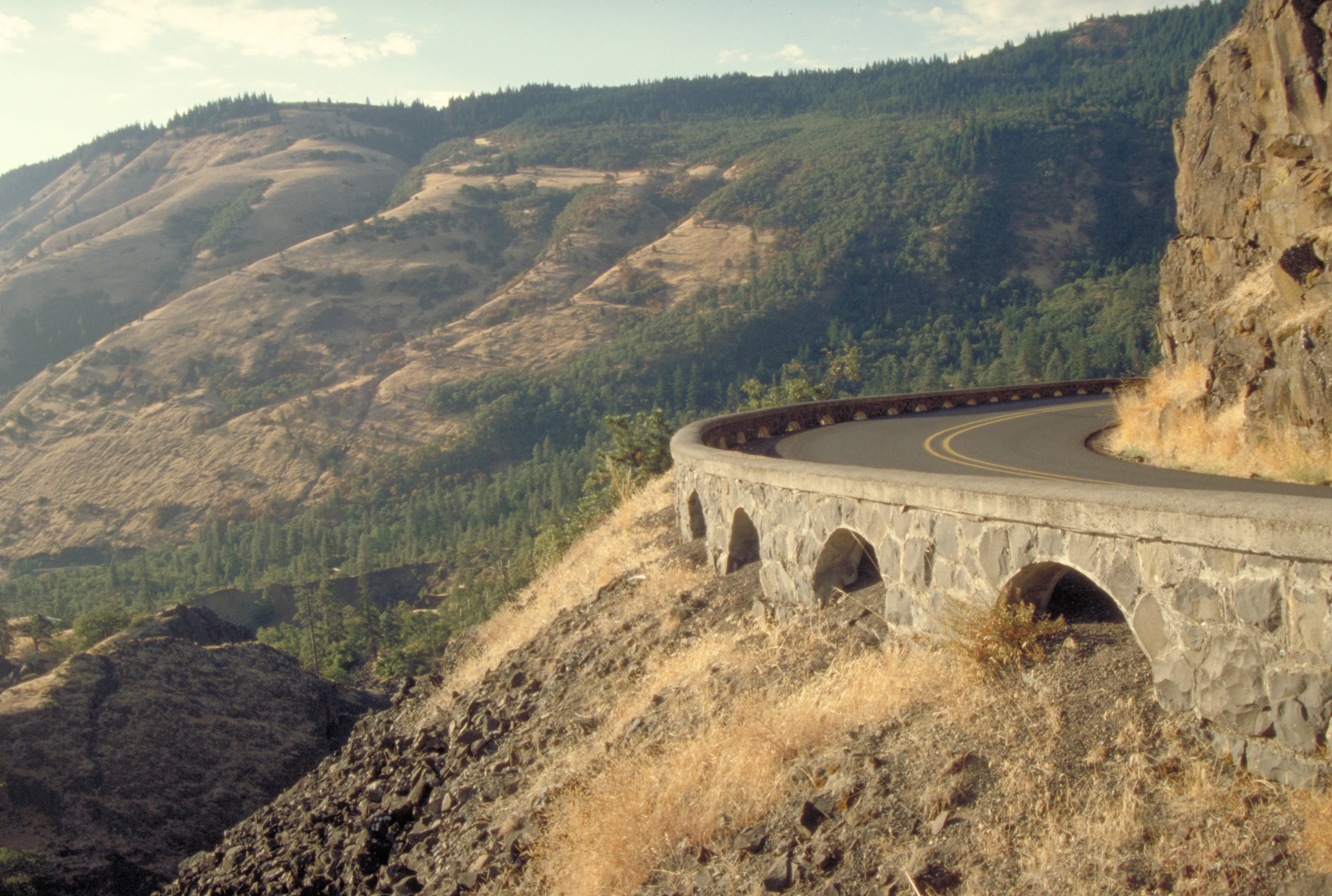
Restored or original stonework lines the highway on the Rowena Loops.
Public Domain. Photo by Dennis Adams
Download Original (2904 x 1954 pixels, 4135.9 MB)
-
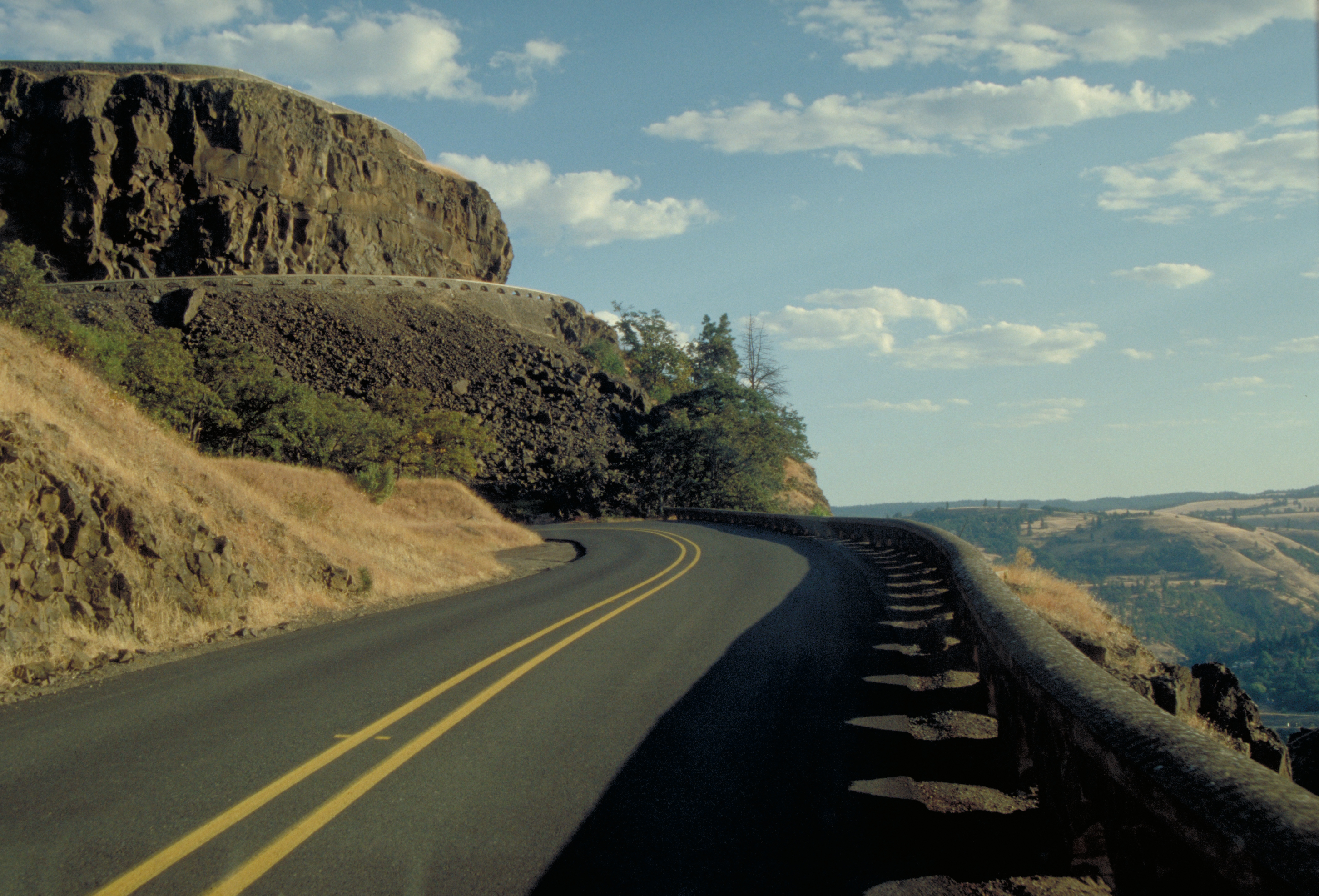
Stone or cement work railings line this sharp curve on the Rowena Loops section of the Historic Columbia River Highway.
Public Domain. Photo by Dennis Adams
Download Original (2904 x 1972 pixels, 3842.2 MB)
-
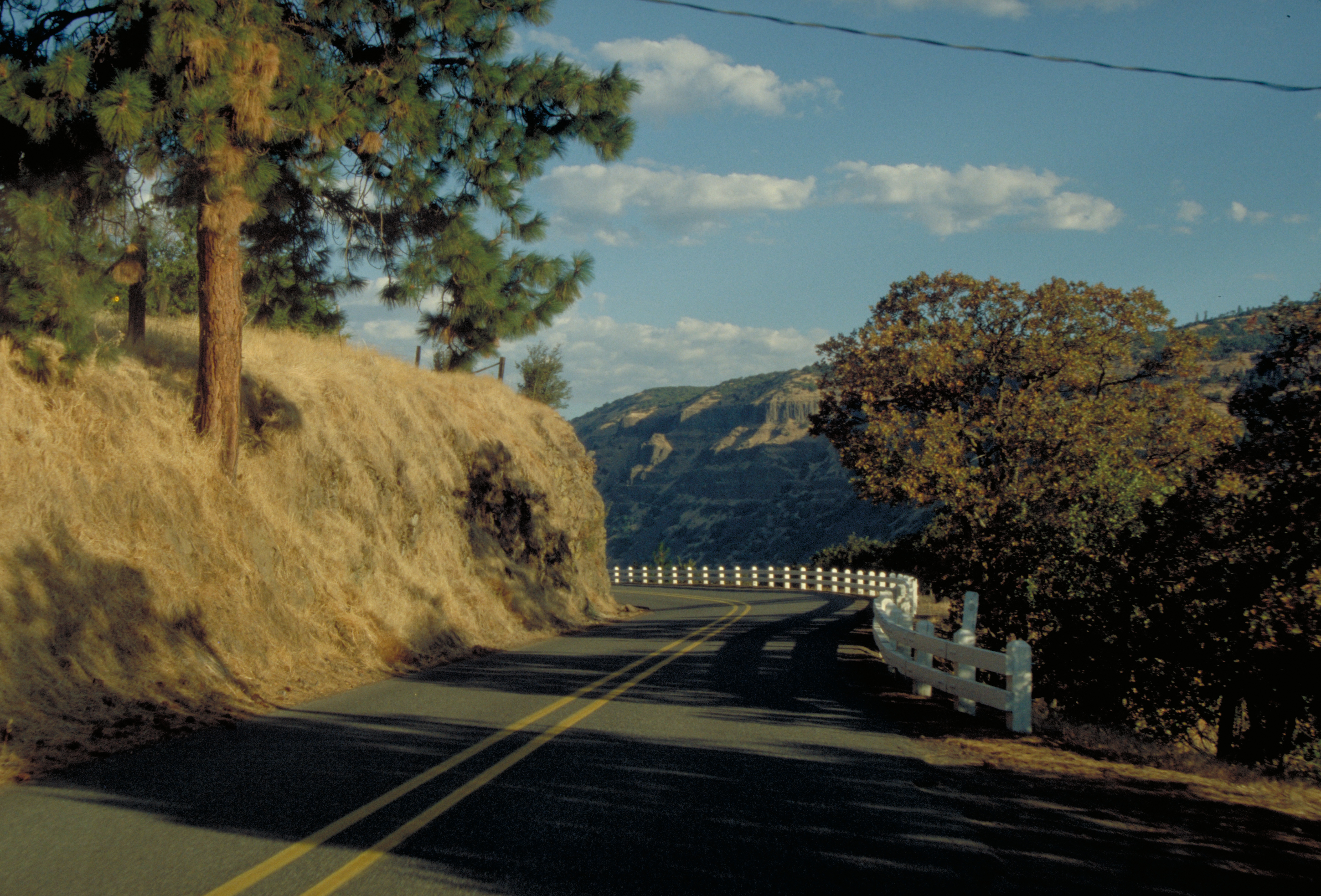
White-painted wooden road railings line this sharp curve on the Historic Columbia River Highway.
Public Domain. Photo by Dennis Adams
Download Original (2898 x 1966 pixels, 4167.7 MB)
-
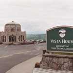
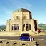
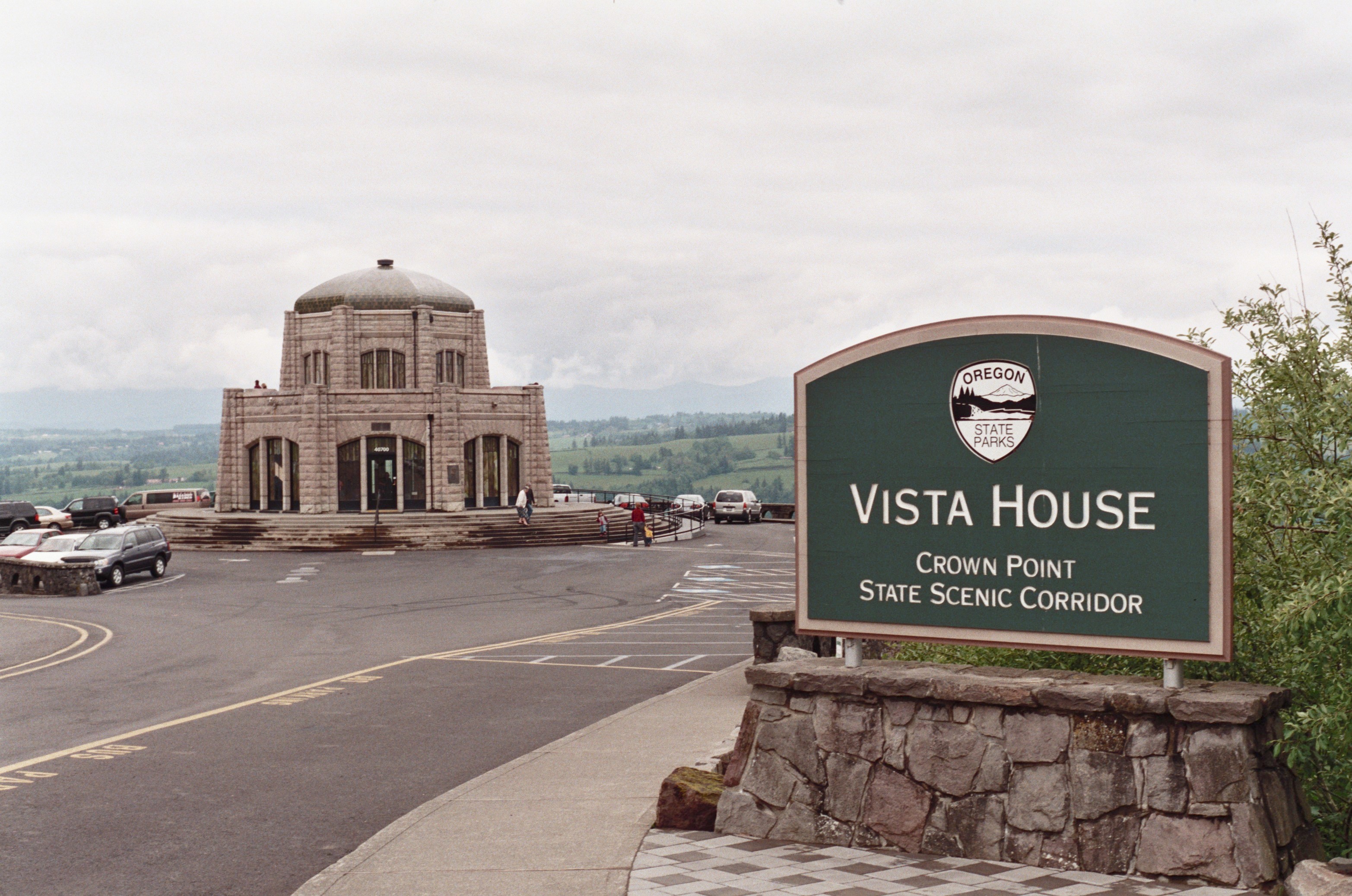
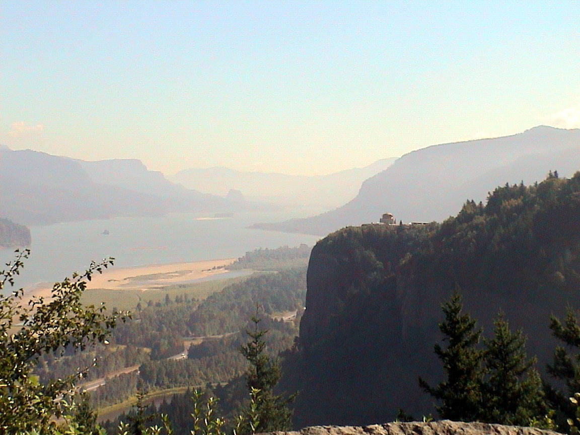
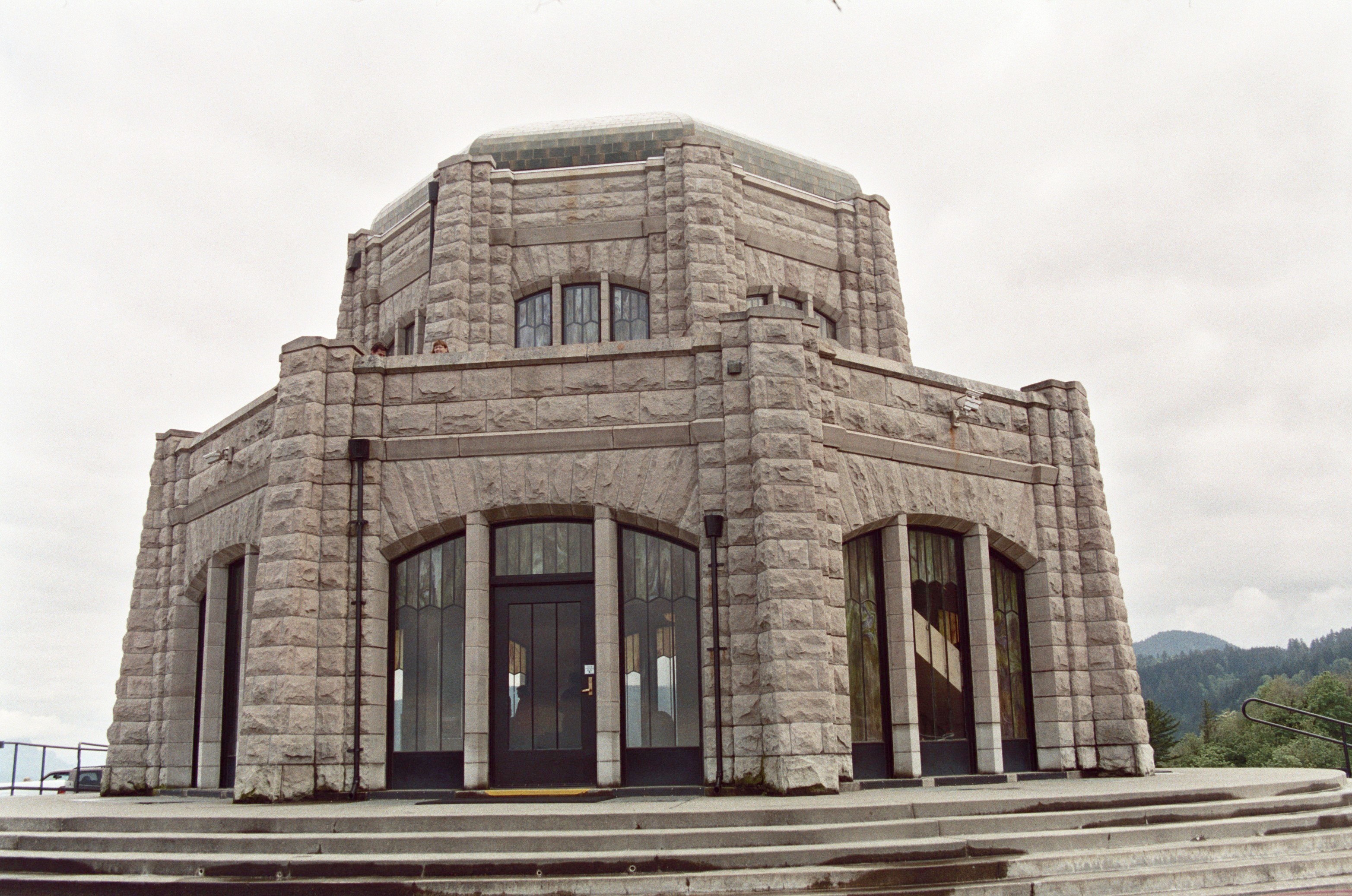
The Vista House, one of Historic Columbia River Highway's most prominent features, stands out against a hazy, green landscape.
© June 2007 Bob Ward.
Download Original (3130 x 2075 pixels, 1395.5 MB)
-
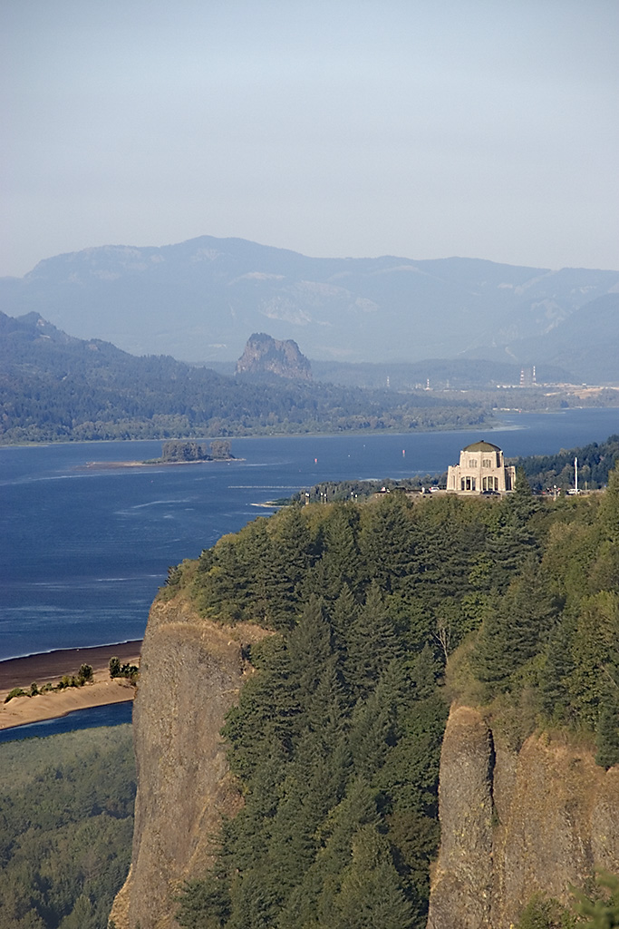
From this elevated point of view, the Vista House can be seen amongst rocky cliffs and dark evergreens.
© September 2005 Neil Li.
Download Original (683 x 1024 pixels, 276.2 KB)
-
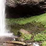
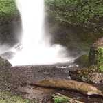
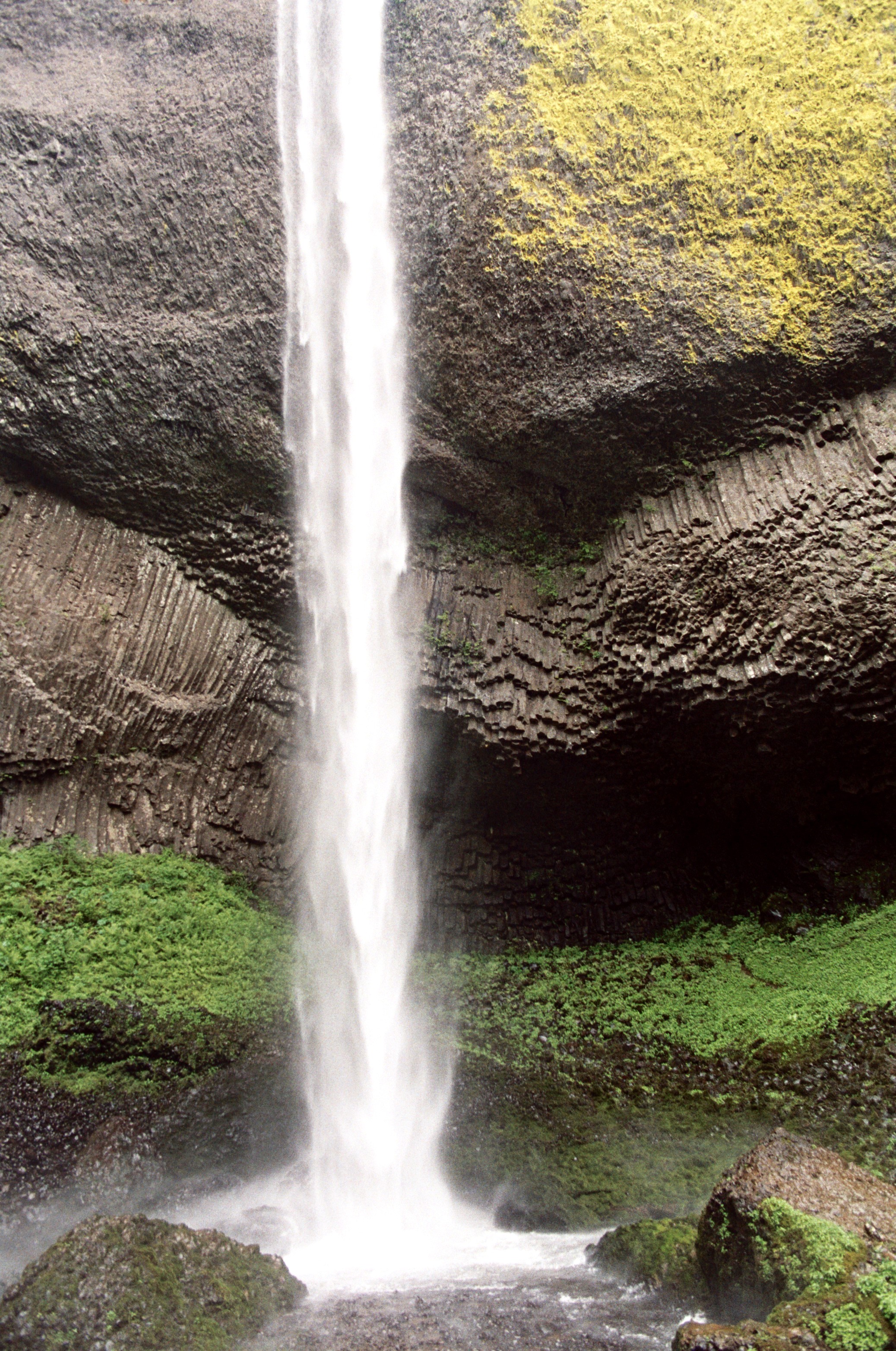
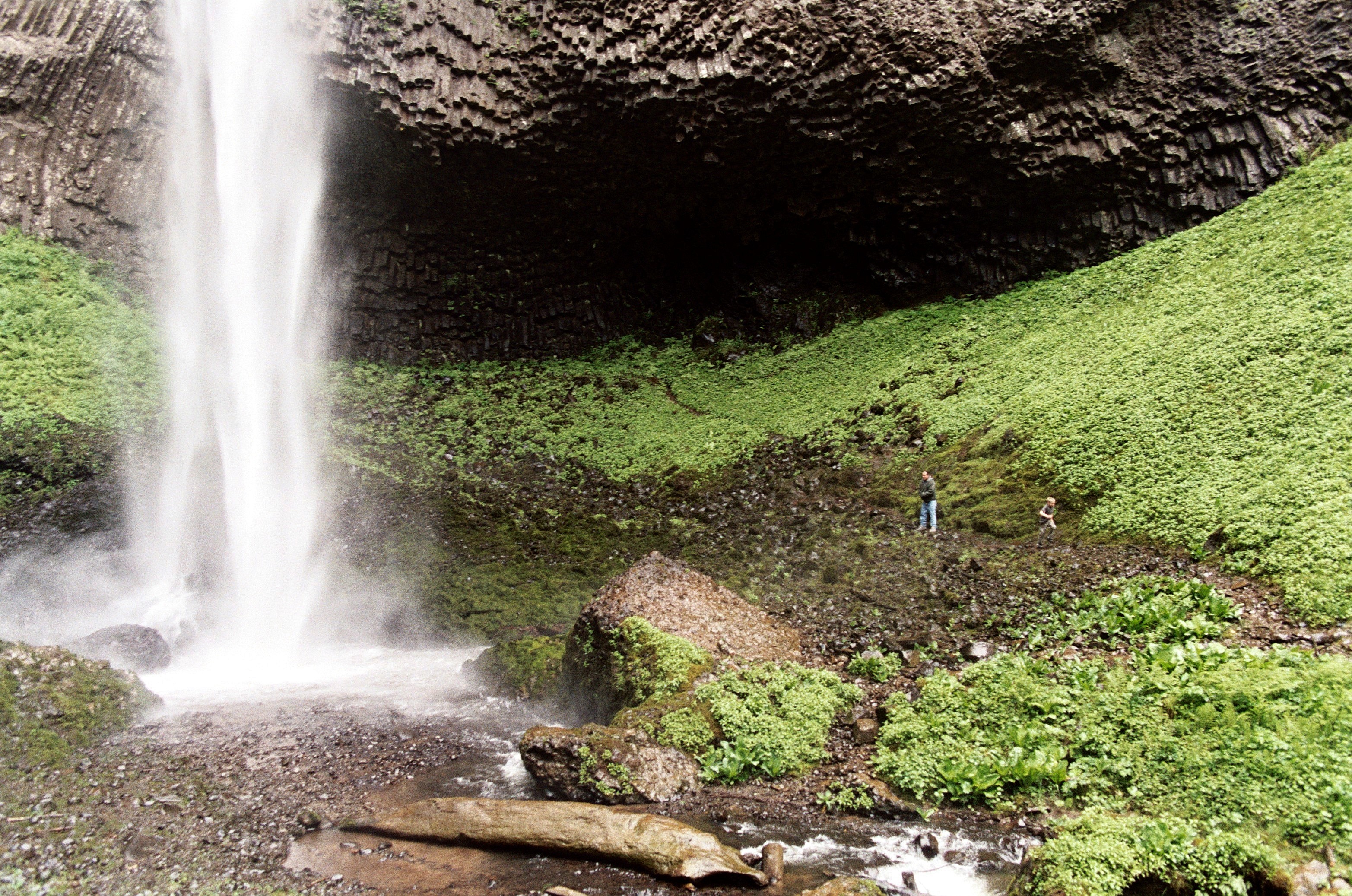
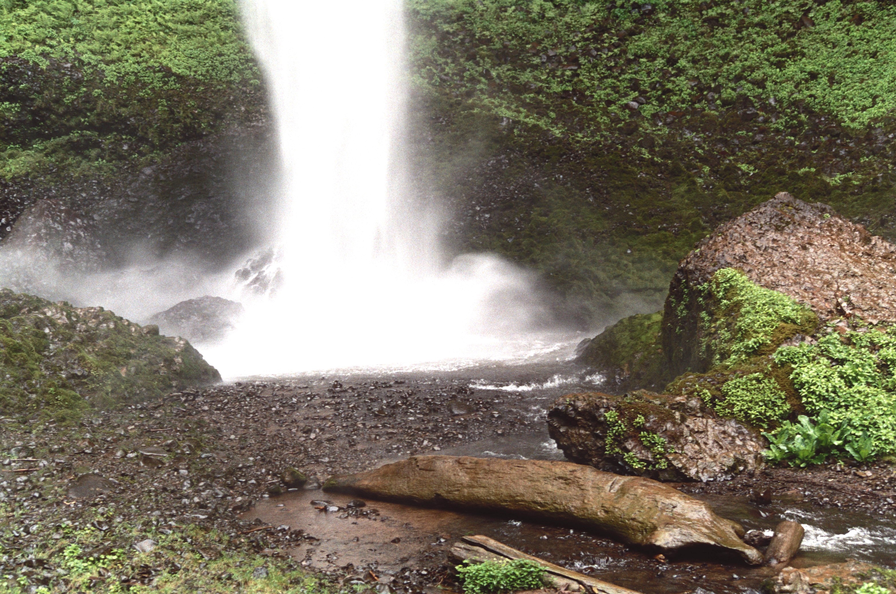
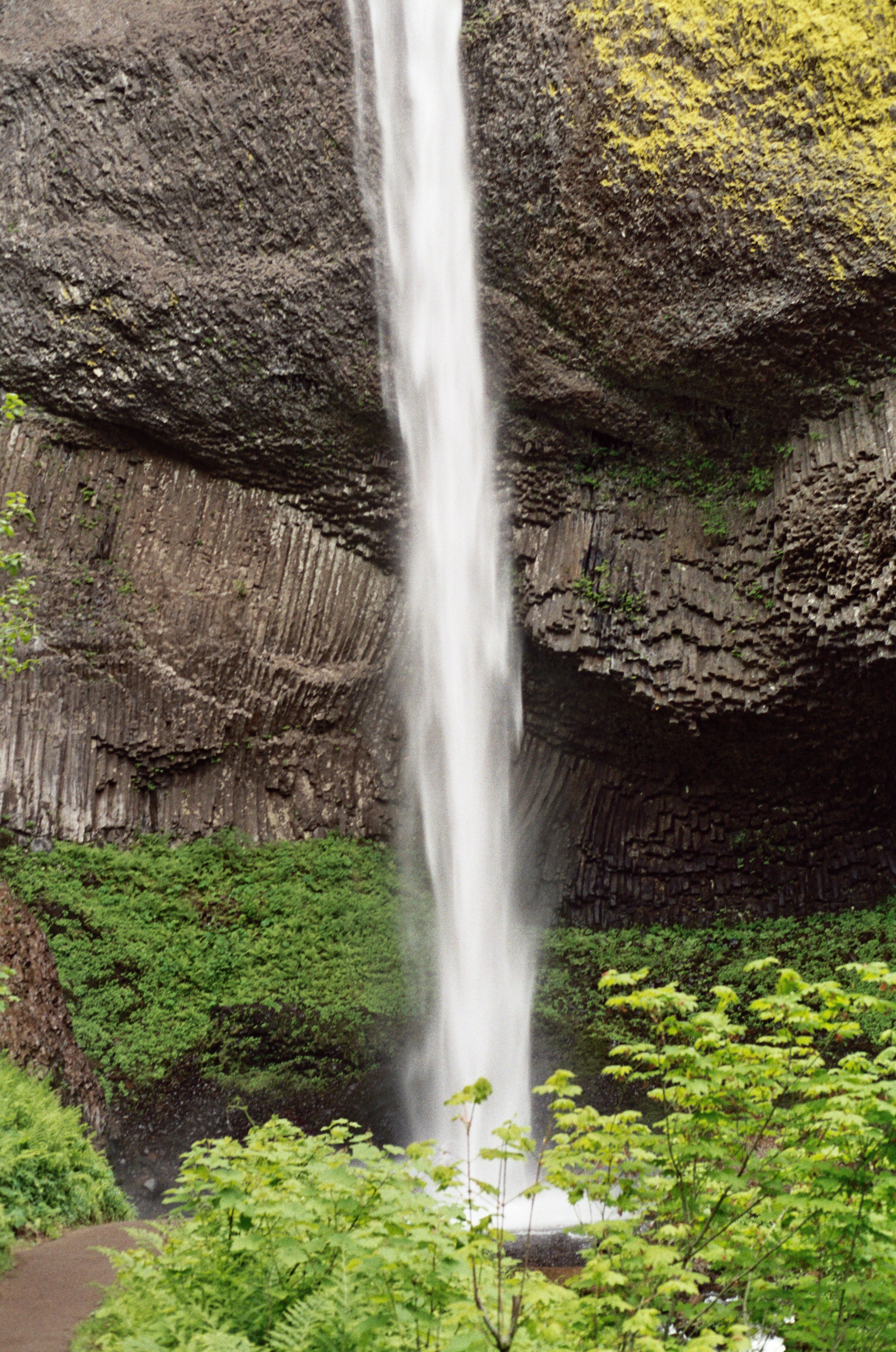
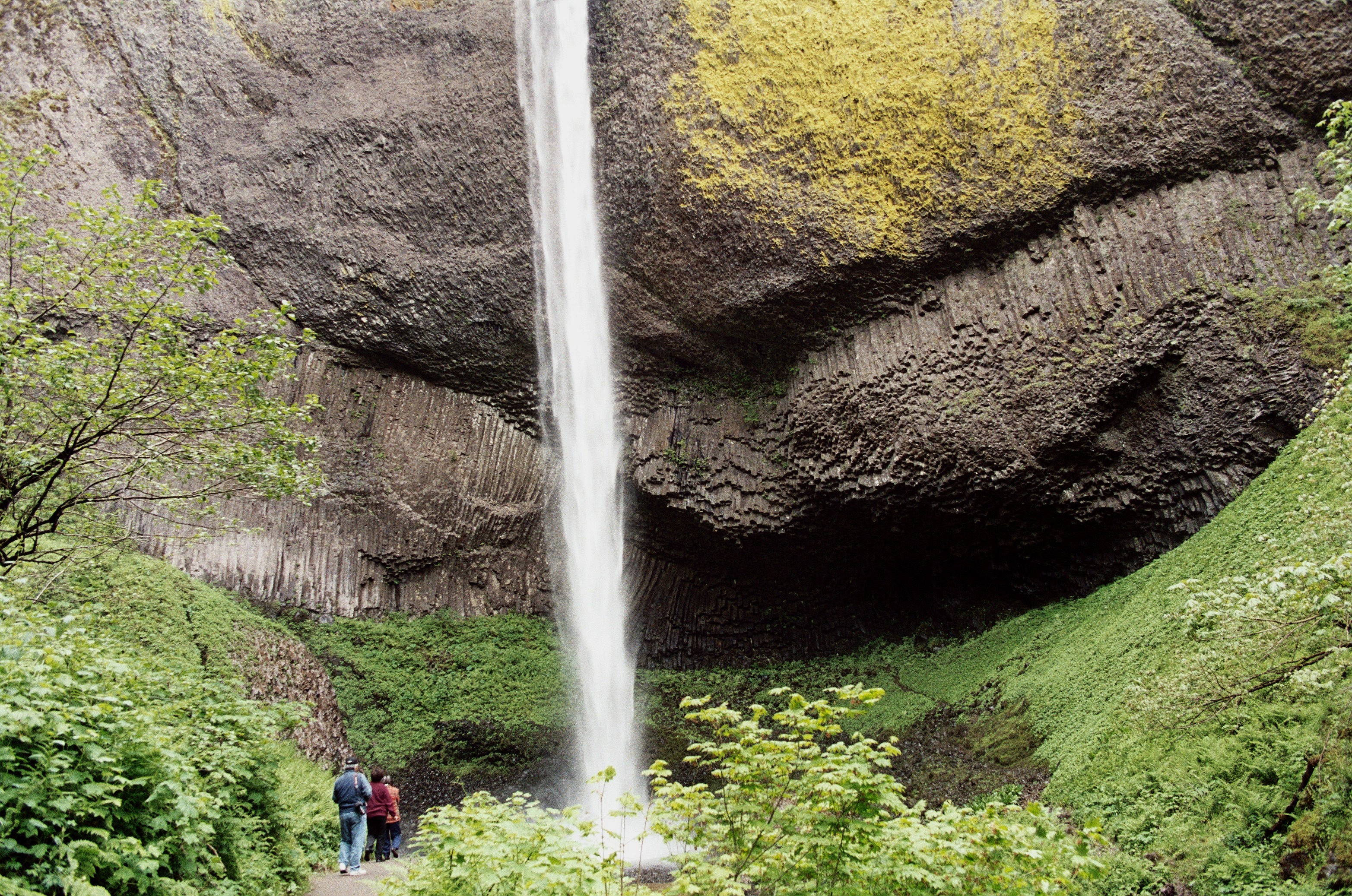
Colorful lichens abound in the misty conditions at the base of the falls.
© July 2007 Bob Ward.
Download Original (2075 x 3130 pixels, 1981.4 MB)
-
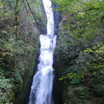
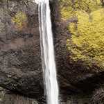
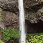
Lush green growth surrounds the base of Latourell Falls.
© July 2007 Bob Ward.
Download Original (2075 x 3130 pixels, 2050.8 MB)
-
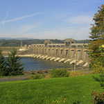
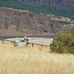
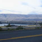
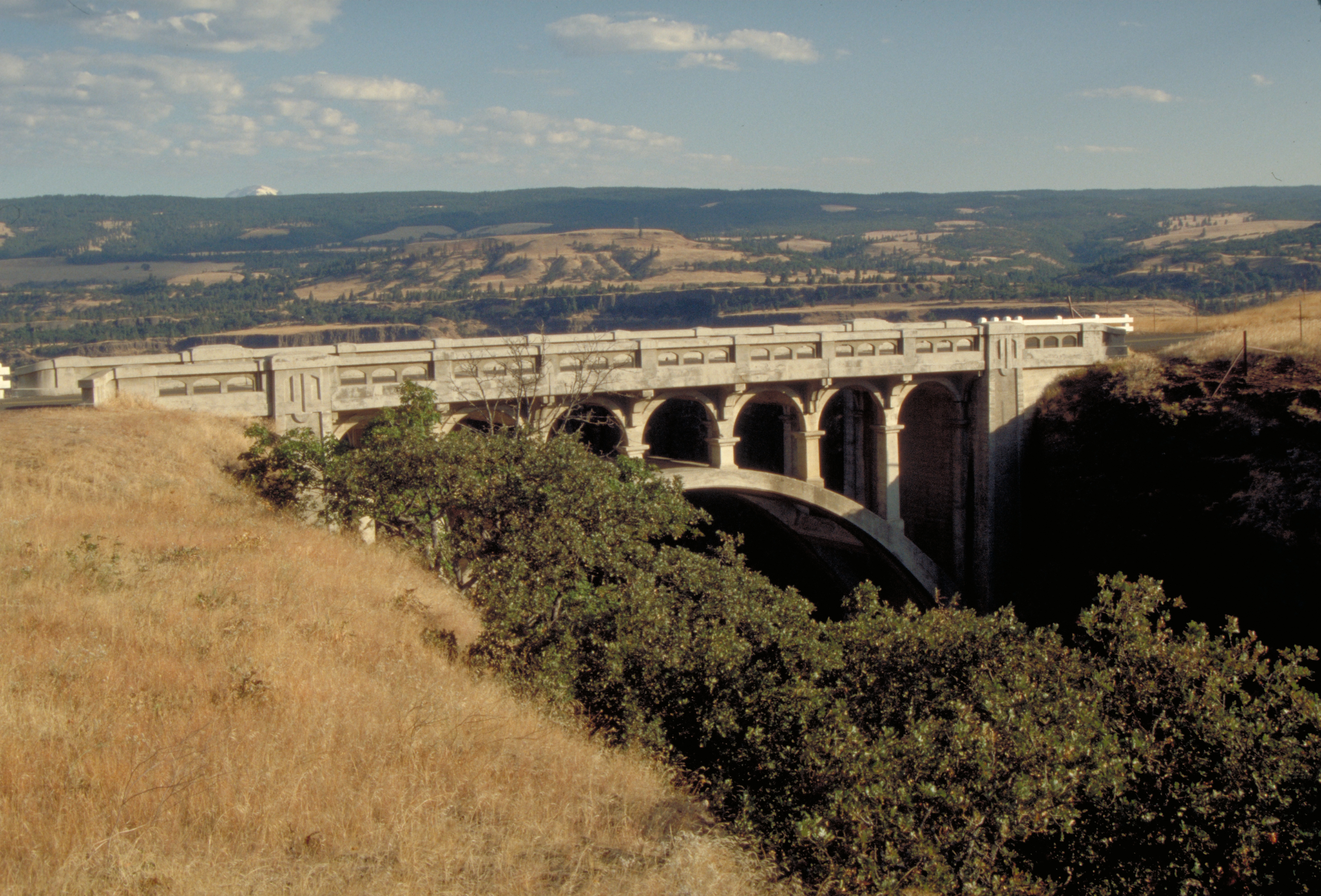
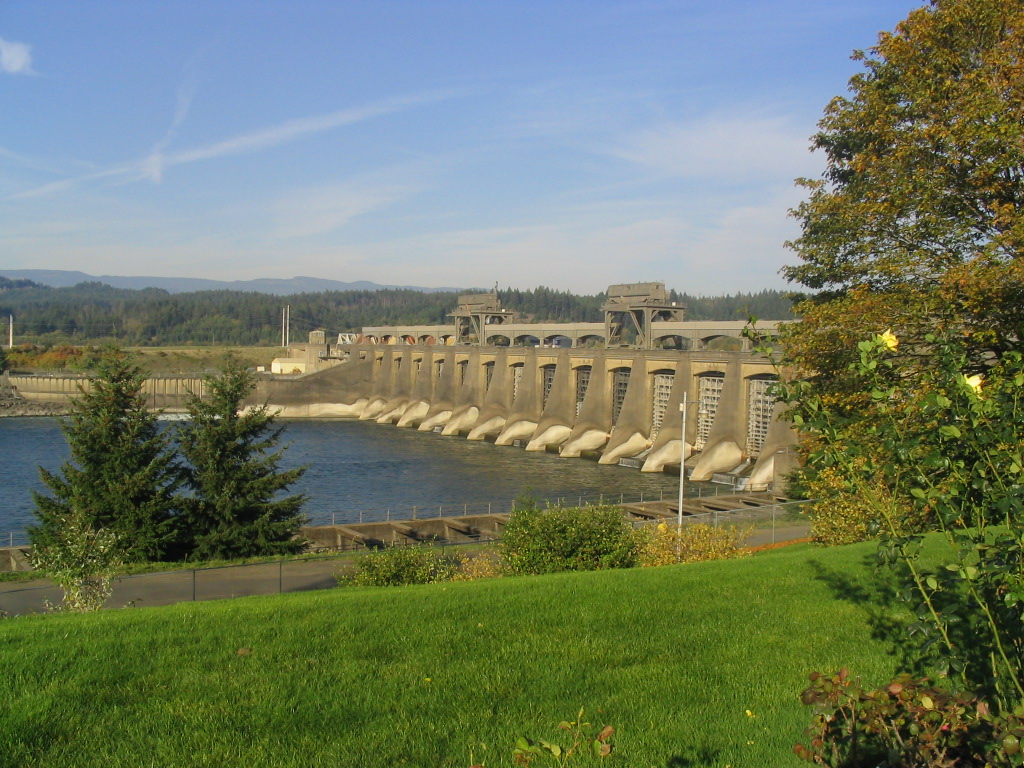
The Bonneville Dam can be seen from the Historic Columbia River Highway in Oregon. The dam provides the region with electrical power and is operated by the US Army Corps of Engineers
Public Domain. Photo by Brett Hansen
Download Original (1024 x 768 pixels, 325.9 KB)
-
The Hood River Bridge spans the Columbia River, stretching from Oregon to Washington.
Public Domain. Photo by Brett Hansen
Download Original (1024 x 768 pixels, 281.3 KB)
-
Bridal Veil Falls, a short hike off of the Historic Columbia River Highway, cascades over two rocky cliffs. A small lookout provides visitors with a view from the bottom of the falls.
Public Domain. Photo by Brett Hansen
Download Original (1024 x 768 pixels, 421.5 KB)
-
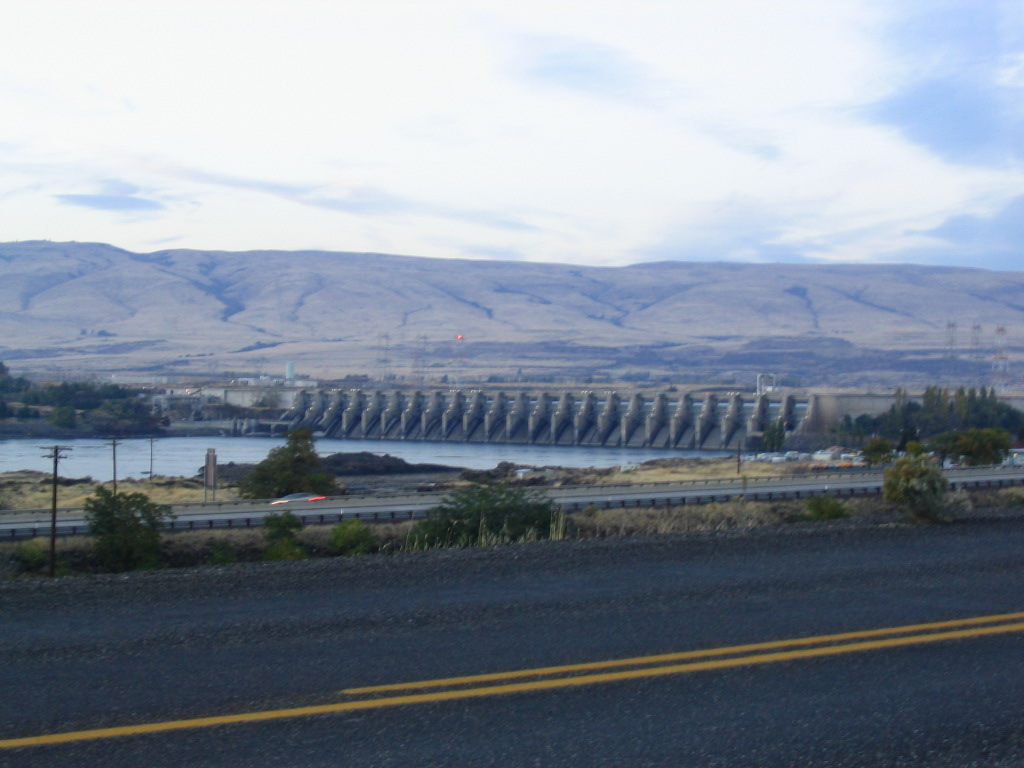
The Dalles Dam serves as a landmark for the east terminus of the Historic Columbia River Highway.
Public Domain. Photo by Brett Hansen
Download Original (1024 x 768 pixels, 168.8 KB)
-
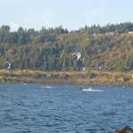
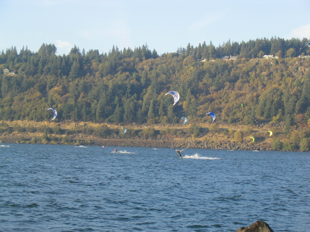
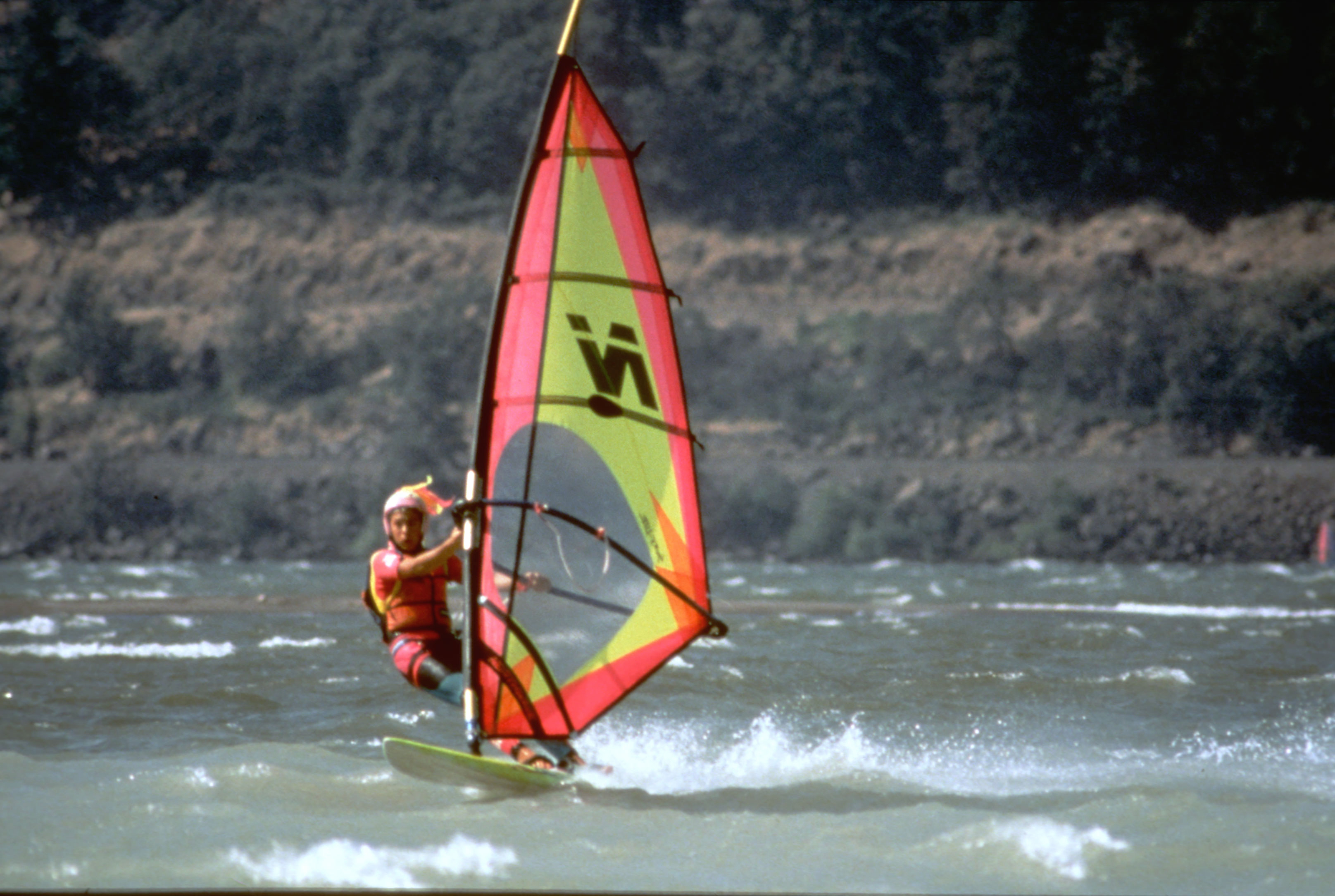
Windsurfers take advantage of a beautiful windy day in Hood River, Oregon, the windsurfing capital of the world.
Public Domain. Photo by Brett Hansen
Download Original (1024 x 768 pixels, 290.5 KB)
-
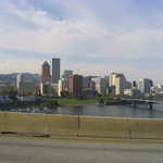
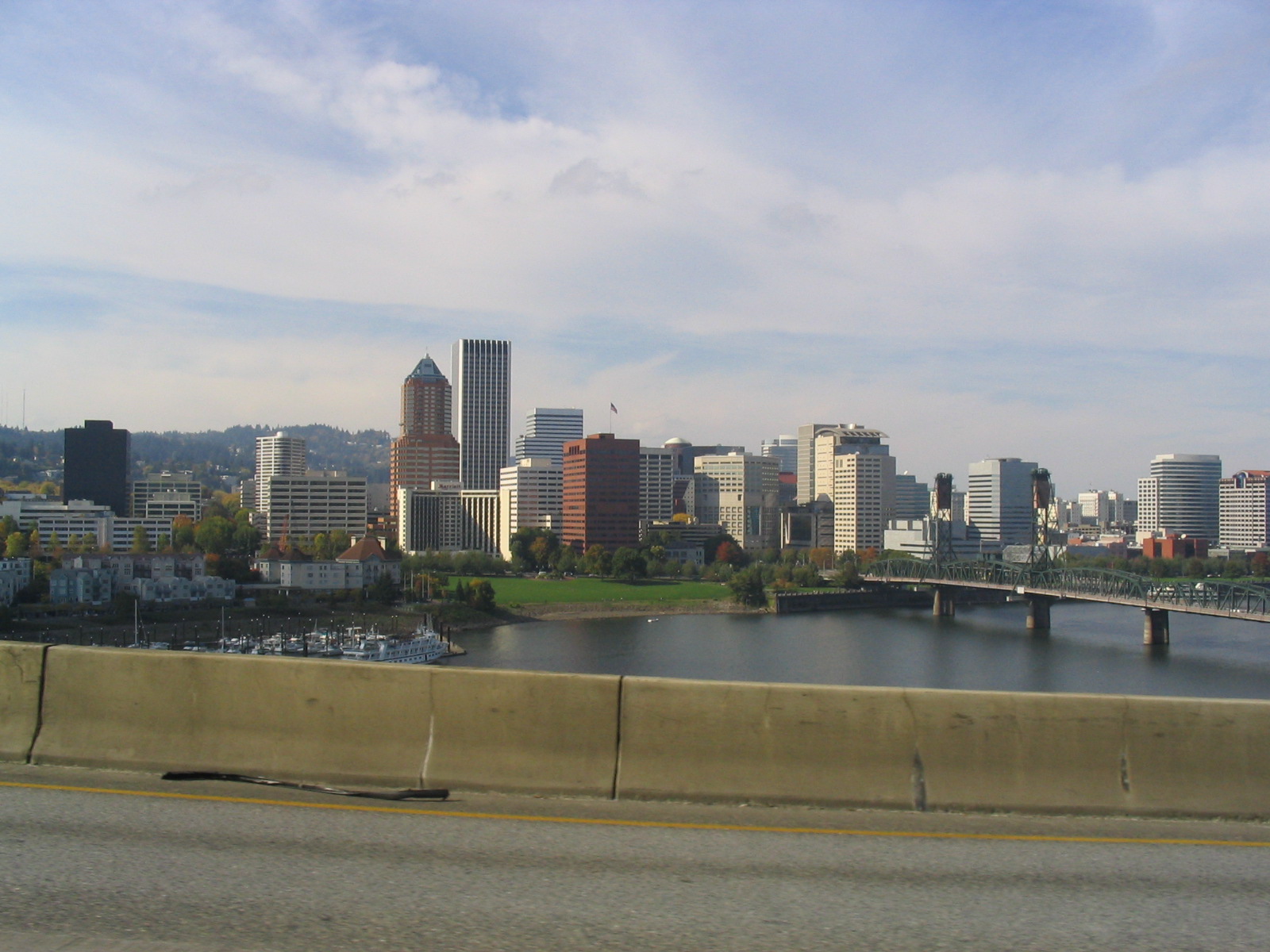
Portland greets visitors to the the west terminus of the Historic Columbia River Highway.
Public Domain. Photo by Brett Hansen
Download Original (1600 x 1200 pixels, 416.7 KB)
-
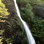
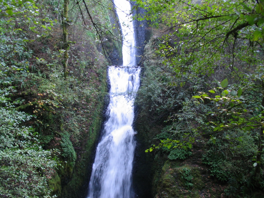
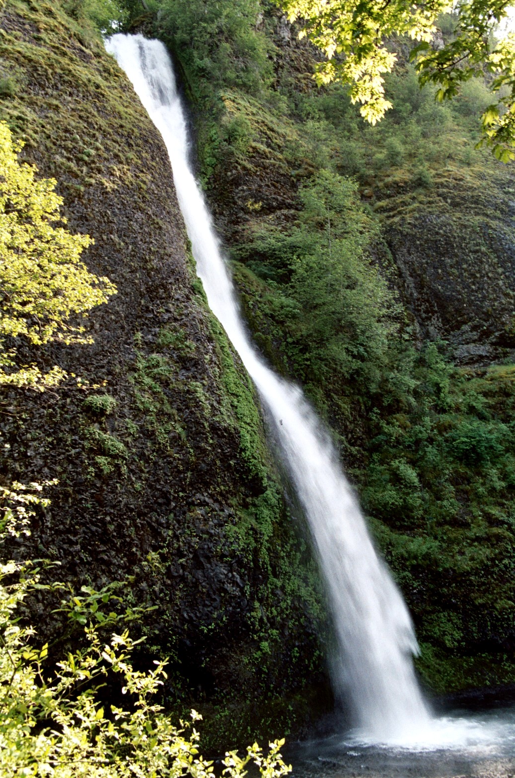
A steady, thin stream of water cascades at Horsetail Falls in Oregon's Columbia River Gorge.
© June 2007 Bob Ward.
Download Original (1037 x 1565 pixels, 655.7 KB)
-
Latourell Falls spills into a calm creek surrounded by lush greenery as two onlookers enjoy the scenery.
© July 2007 Bob Ward.
Download Original (3130 x 2075 pixels, 2316.7 MB)
-
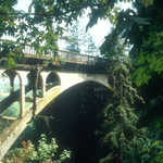
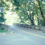
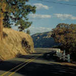
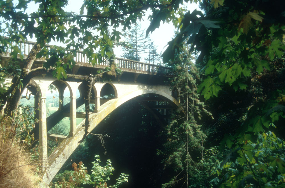
Lush greenery overflows near this historic bridge on the Historic Columbia River Highway.
Public Domain.
Download Original (1000 x 659 pixels, 179.6 KB)
-
This delicate-looking but strong bridge provides an opportunity for photographing the falls.
Public Domain.
Download Original (263 x 408 pixels, 155.8 KB)
-

Sunlight glints through the forest above Multnomah Falls, August 2001
Public Domain. Photo by A. E. Crane
Download Original (824 x 1090 pixels, 264.8 KB)
-
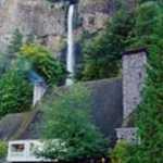
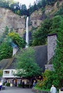
Multnomah Falls Lodge with Multnomah Falls behind.
© 1998 A. E. Crane.
Download Original (128 x 188 pixels, 15.5 KB)
-
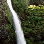
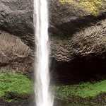
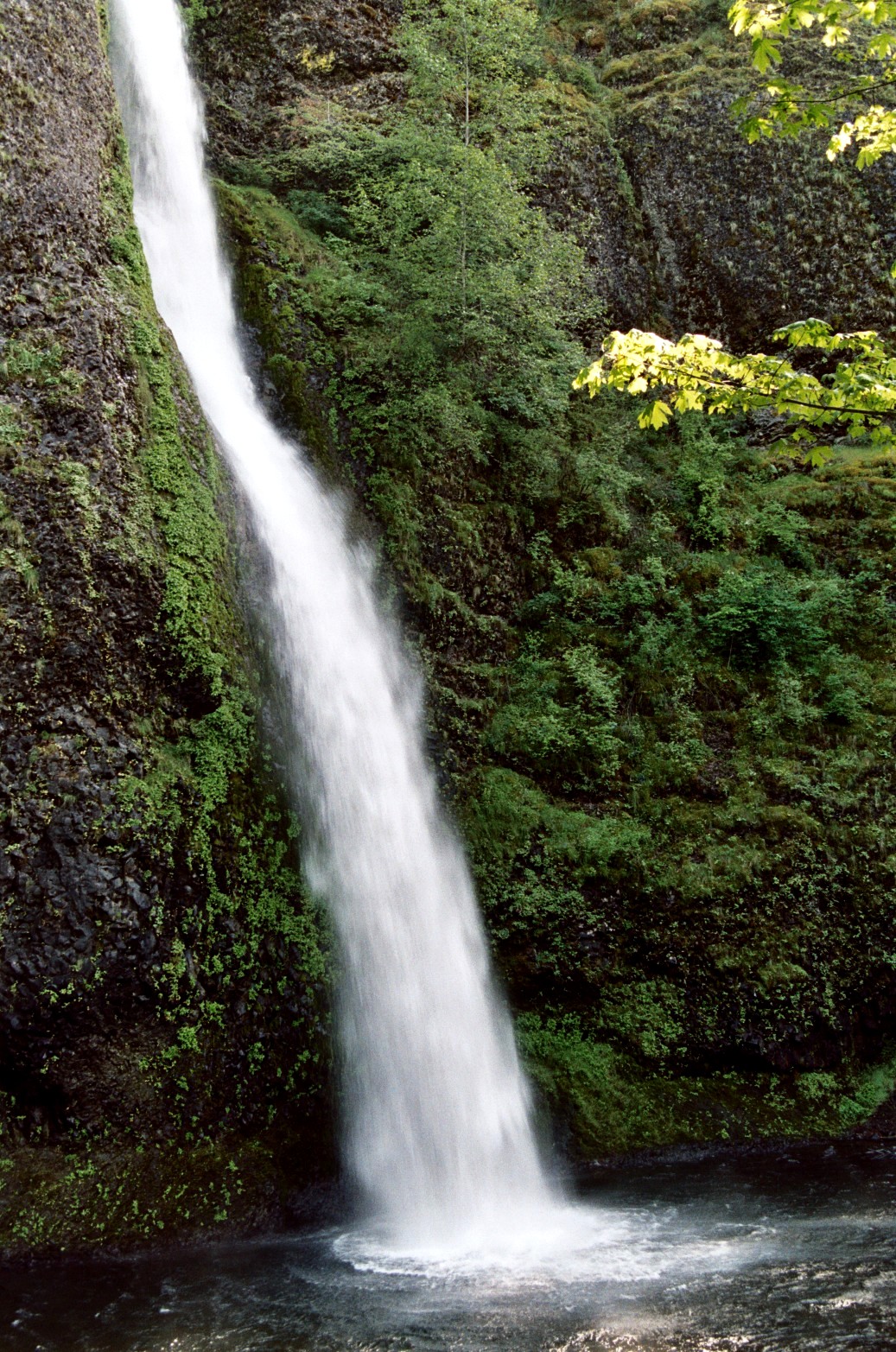
Horsetail Falls cascades into a small pool at Columbia River Gorge in Oregon.
© June 2007 Bob Ward.
Download Original (1037 x 1565 pixels, 653.0 KB)
-
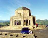
A blue sky arcs over Vista House at Crown Point on a sunny day.
© 1998 A. E. Crane.
Download Original (188 x 147 pixels, 14.4 KB)
-
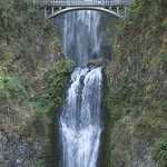
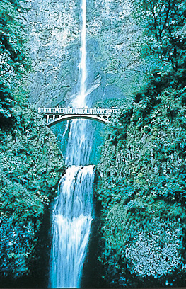
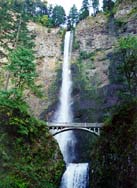
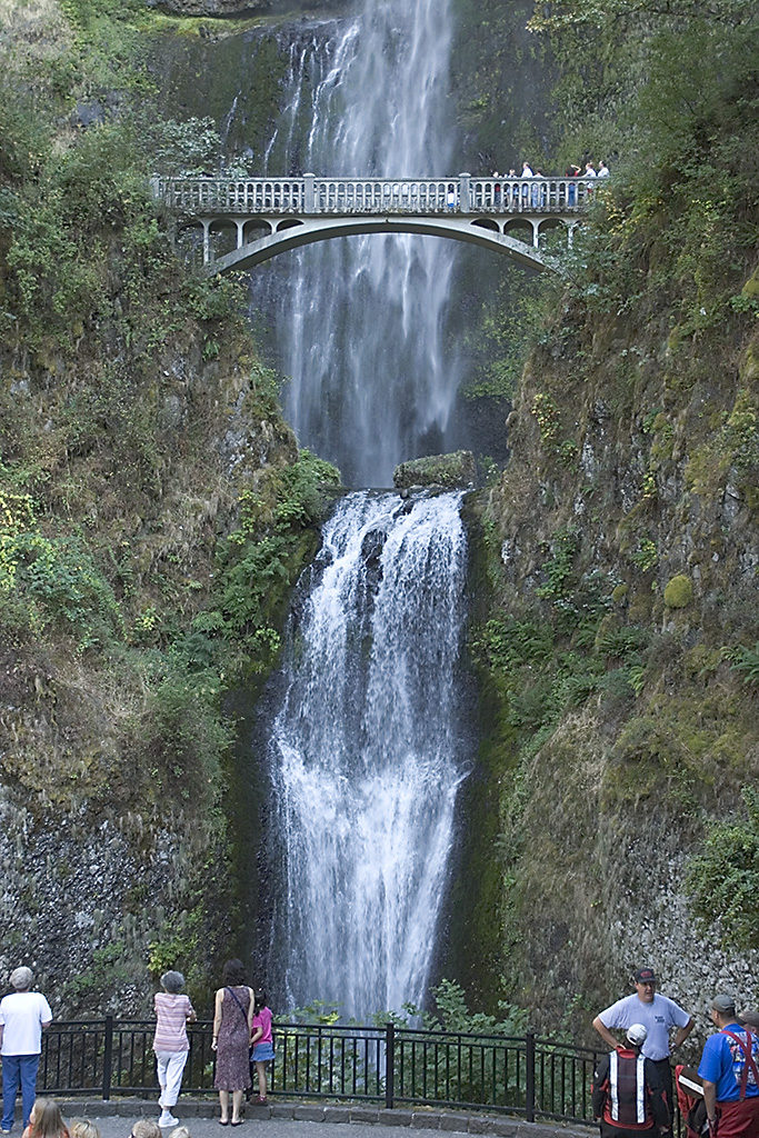
This shot, taken in October, shows Multnomah Falls and Benson Bridge looking up from below.
© 1998 A. E. Crane.
Download Original (137 x 188 pixels, 16.6 KB)
-
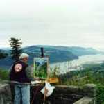
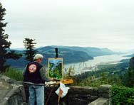
An artist paints the view from Women's Forum State Park or Chanticleer Point on a cloudy day.
© 1998 A. E. Crane.
Download Original (188 x 148 pixels, 13.3 KB)
-

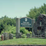
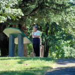
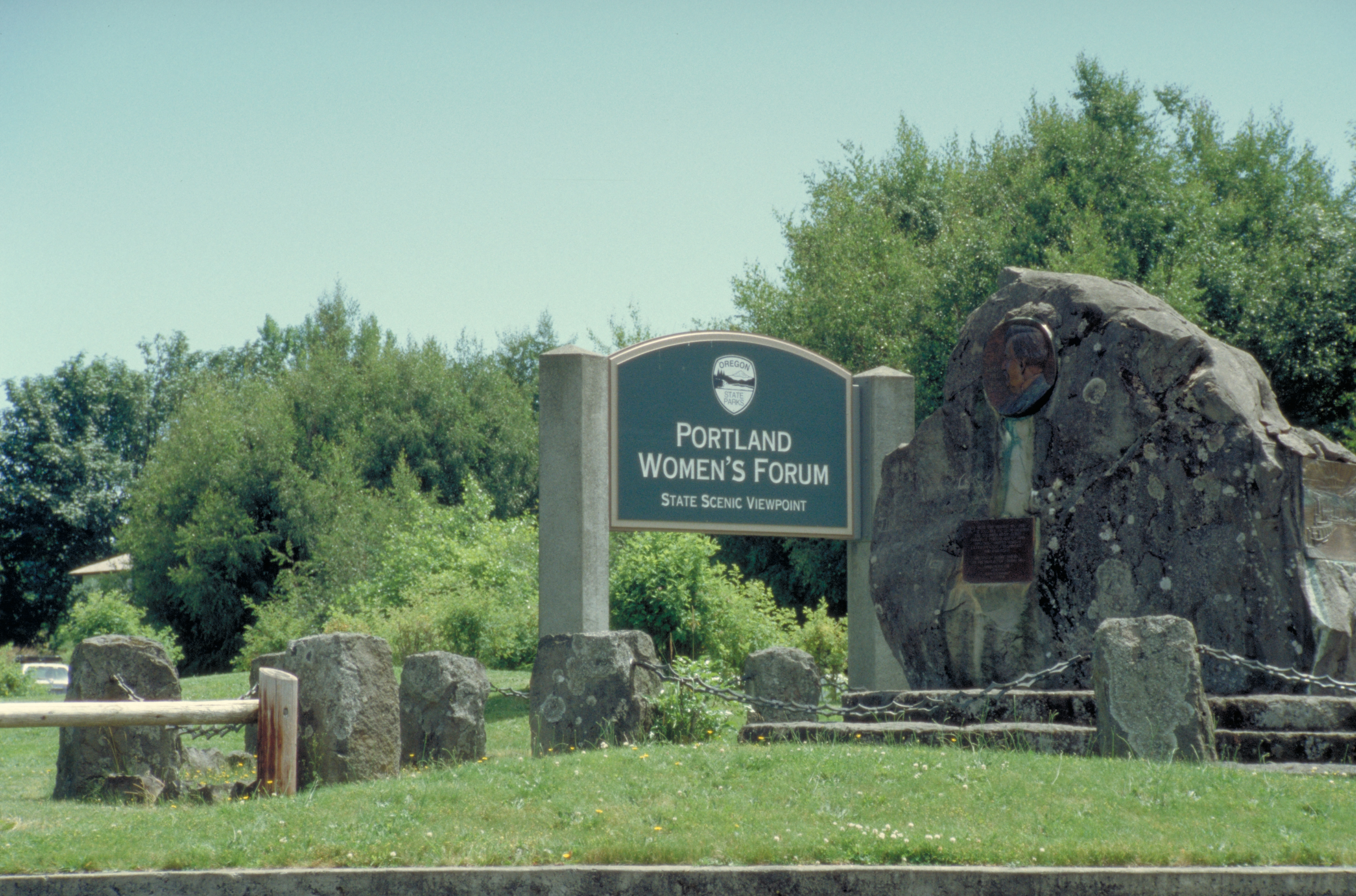
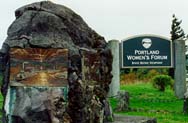
This monument can be seen at Portland Women's Forum State Park Entrance or Chanticleer Point.
© 1998 A. E. Crane.
Download Original (188 x 123 pixels, 14.4 KB)
-
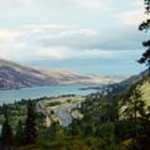
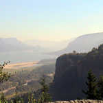
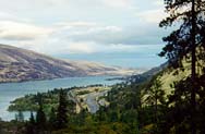
This is a shot looking east along the Columbia River and gorge from the beginning of the Rowena Loops.
© 1998 A. E. Crane.
Download Original (188 x 123 pixels, 13.1 KB)
-
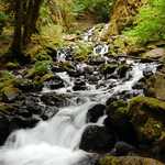
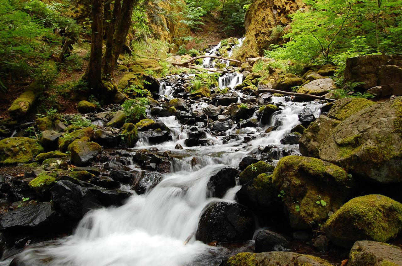
Water rushes rapidly over stones covered with moss. Starvation Creek winds through the Oregon landscape, trees, and bushes rising next to the flow.
Public Domain. Edson Martins
Download Original (1278 x 848 pixels, 319.8 KB)
-
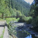
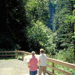
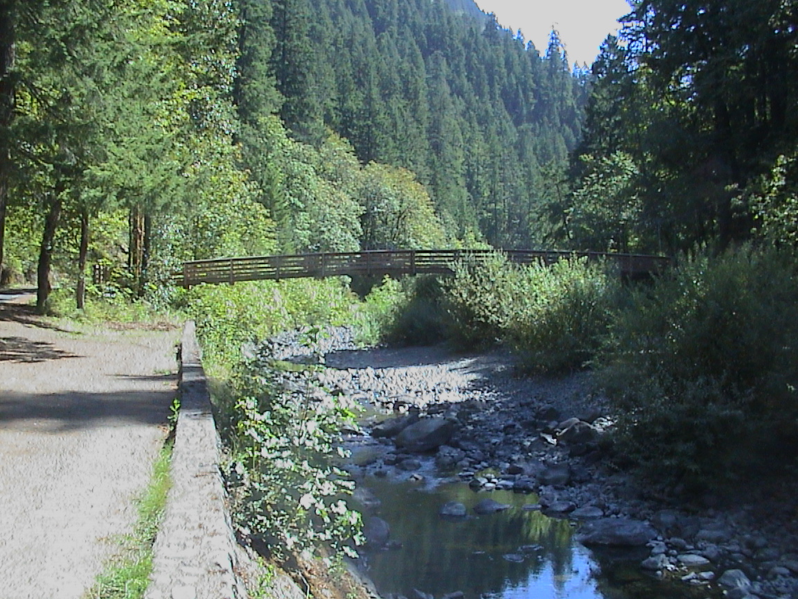
This pedestrian bridge spans Eagle Creek at Eagle Creek Recreation Area on the Historic Columbia River Highway.
Public Domain. Photo by P. Deffendol
Download Original (1152 x 864 pixels, 552.6 KB)
-
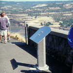
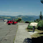
This "wow" view from Chanticleer Point at Portland Women's Forum State Park, was taken in the morning. August 2001
Public Domain. Photo by P. Deffendol
Download Original (1152 x 864 pixels, 199.0 KB)
-
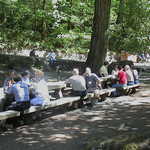
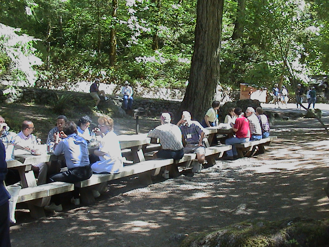
This Byway Conference tour group is having lunch at Eagle Creek Recreation Area on the Historic Columbia River Highway
Public Domain. Photo by P. Deffendol
Download Original (1152 x 864 pixels, 564.0 KB)
-

Windsurfing is very popular on the Columbia River--Historic Columbia River Highway.
Public Domain.
Download Original (3231 x 2169 pixels, 2119.9 MB)
-
The Vista House, crafted from stone and stained glass, is one of Historic Columbia River Highway's most popular sites.
© June 2007 Bob Ward.
Download Original (3130 x 2075 pixels, 1510.9 MB)
-

The interior of the Vista House features beautiful craftsmanship and detail, as shown by a stair banister and the window frames.
© June 2007 Bob Ward.
Download Original (2075 x 3130 pixels, 1568.6 MB)
-
Visitors stand over one falls and before another on the foot bridge spanning Multnomah Falls in the Columbia River Gorge area of Oregon.
© July 2007 Bob Ward.
Download Original (3130 x 2075 pixels, 1947.2 MB)
-
Visitors stand together on a bridge to view the waters of Multnomah Falls cascade over mossy cliffs.
© September 2005 Neil Li.
Download Original (683 x 1024 pixels, 473.8 KB)
-
The white waters of Multnomah Falls crash into a plunge pool surrounded by greenery.
© July 2007 Bob Ward.
Download Original (3130 x 2075 pixels, 1765.0 MB)
-
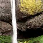
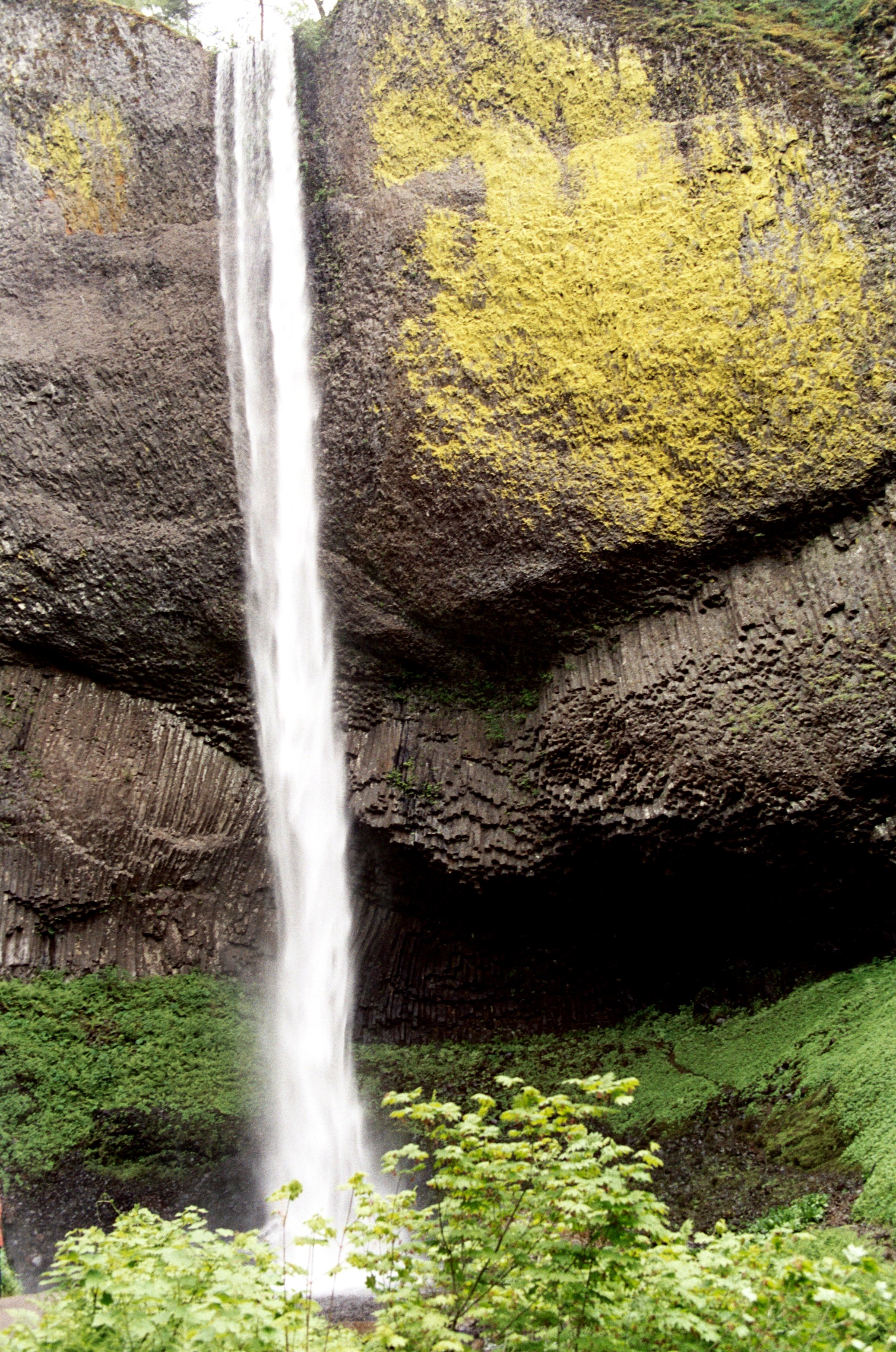
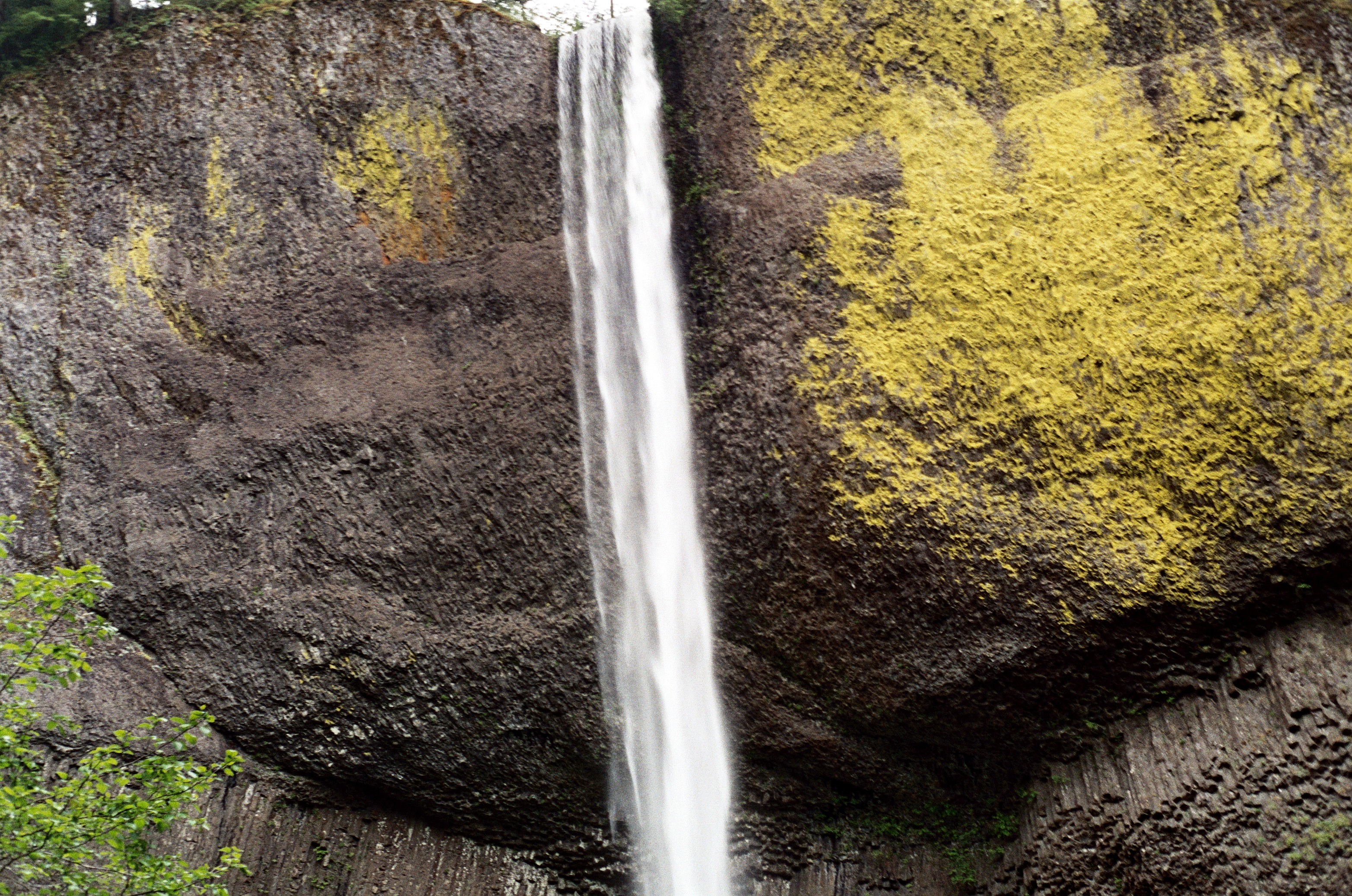
Bright yellow lichens color the gray volcanic rock at Latourell Falls.
© July 2007 Bob Ward.
Download Original (3130 x 2075 pixels, 2377.6 MB)
-
Visitors stand on a bridge and watch Multnomah Falls, a two-tiered waterfall located in the Columbia River Gorge.
© July 2007 Bob Ward.
Download Original (2075 x 3130 pixels, 2226.9 MB)
-
A paved trail leads the short distance from the parking lot to a bridge which crosses the creek at the base of Latourell Falls.
© July 2007 Bob Ward.
Download Original (2075 x 3130 pixels, 1988.4 MB)
-
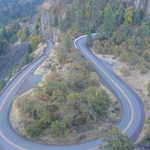
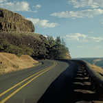
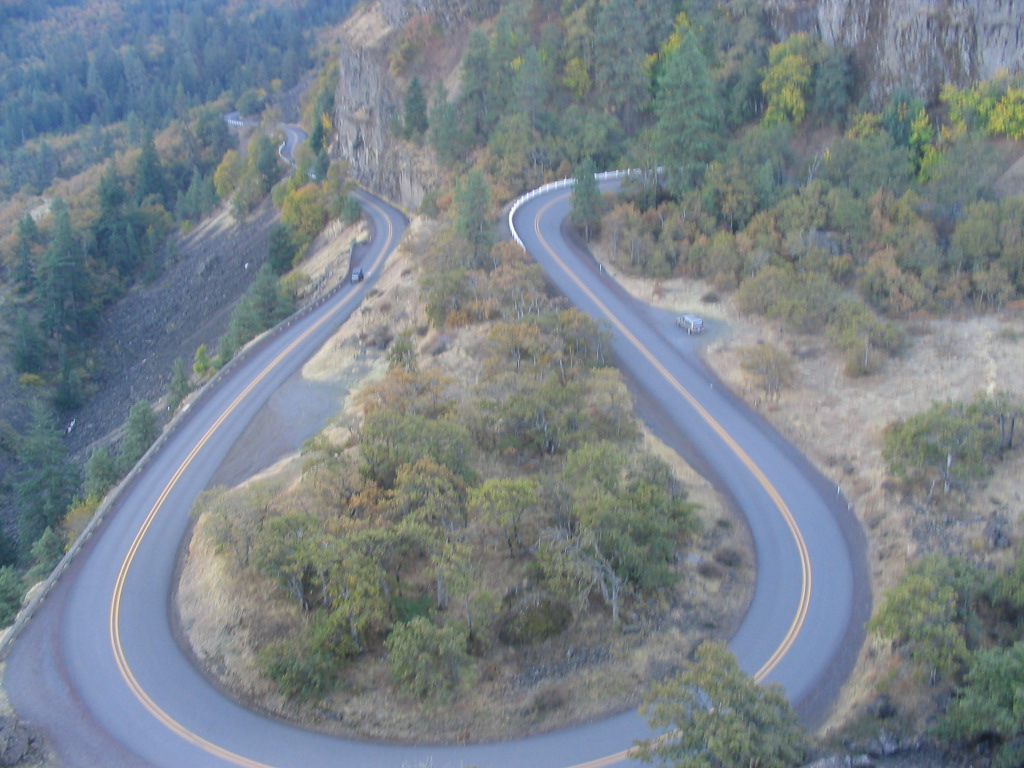
The Historic Columbia River Highway loops around beneath the Rowena Crest Viewpoint. Byway travelers descend from the viewpoint to the loops below.
Public Domain. Photo by Brett Hansen
Download Original (1024 x 768 pixels, 251.1 KB)
-
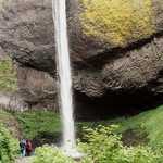
A small group of hikers approach the base of Latourell Falls.
© July 2007 Bob Ward.
Download Original (3130 x 2075 pixels, 2627.6 MB)
-
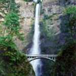
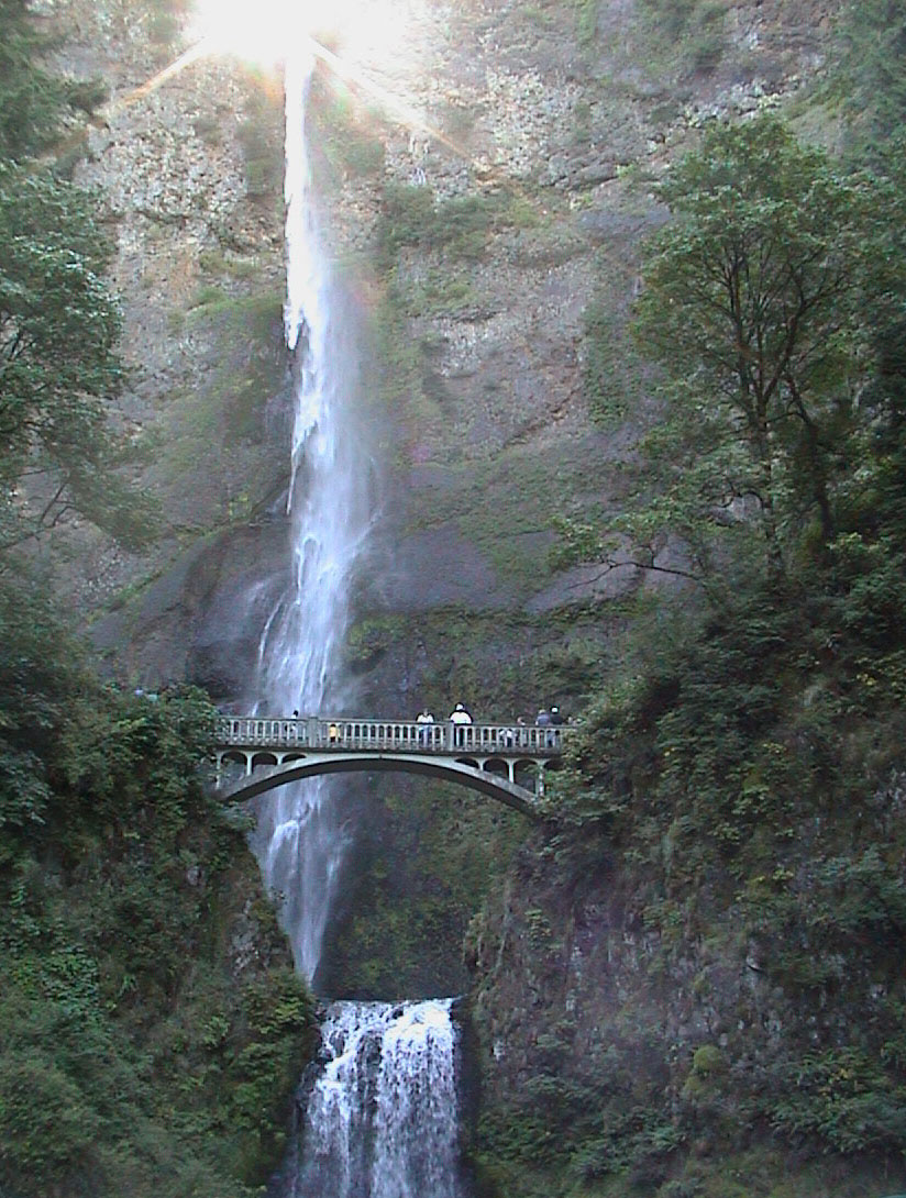
Visitors at Multnomah Falls look up at the water hurtling down the sheer cliff.
Public Domain. Photo by Dennis Adams
Download Original (1966 x 2910 pixels, 4040.8 MB)