
Top of the Rockies
All Photos (72)
-
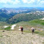
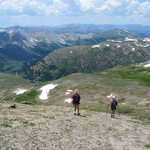
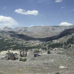
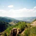
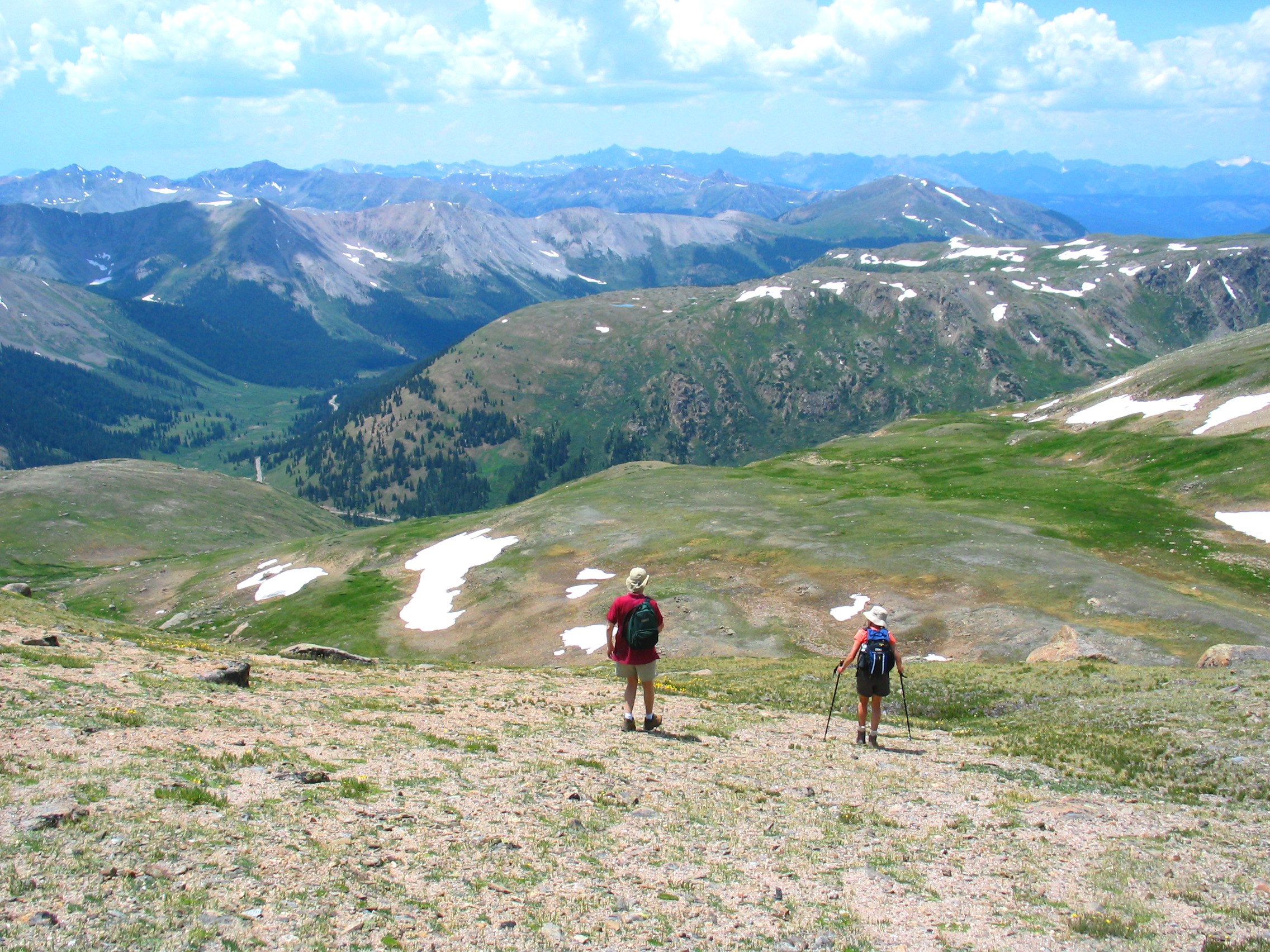
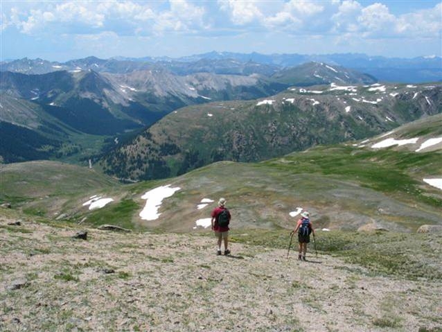
High on snow-dotted Independence Pass, two hikers overlook Highway 82 and the Roaring Fork Valley while to the west the peaks of the Elk Mountains pierce the horizon.
Public Domain.
Download Original (2272 x 1704 pixels, 1145.8 MB)
-
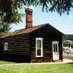
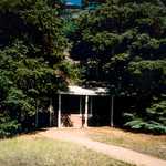
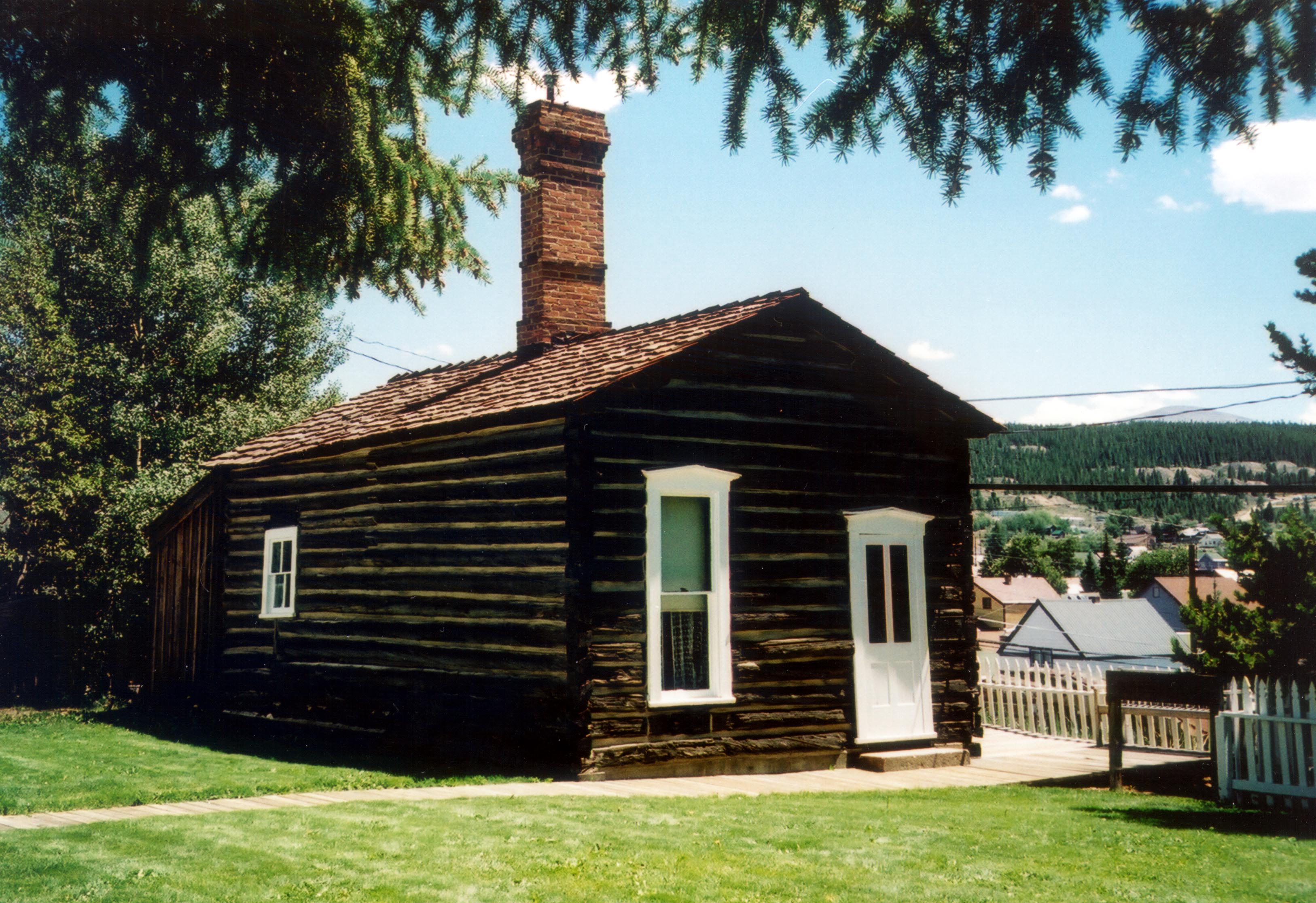
The Dexter Cabin Museum offers visitors a chance to peek in on what it would have been like to live in a luxurious cabin of Leadville's early days.
Public Domain. Photo by Jenette Purdy
Download Original (3253 x 2232 pixels, 834.4 KB)
-
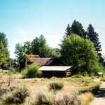
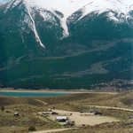
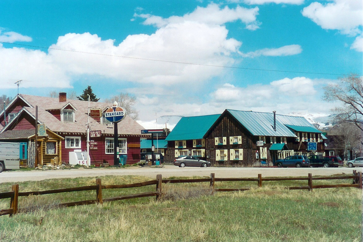
The Twin Lakes Historic District has many remaining structures from the early mining days in the area, September 2002
Public Domain. Photo by Jenette Purdy
Download Original (3372 x 2202 pixels, 908.8 KB)
-
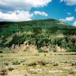
The mountains and area surrounding Climax yield many minerals.
Public Domain. Photo by Jenette Purdy
Download Original (3412 x 2160 pixels, 654.4 KB)
-
The impressive Twin Peaks overlook Twin Lakes and the Twin Lakes Historic District, Sept. 2002.
Public Domain. Photo by Jenette Purdy
Download Original (3318 x 2130 pixels, 710.0 KB)
-
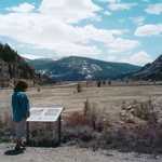
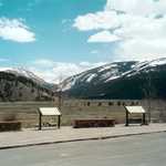
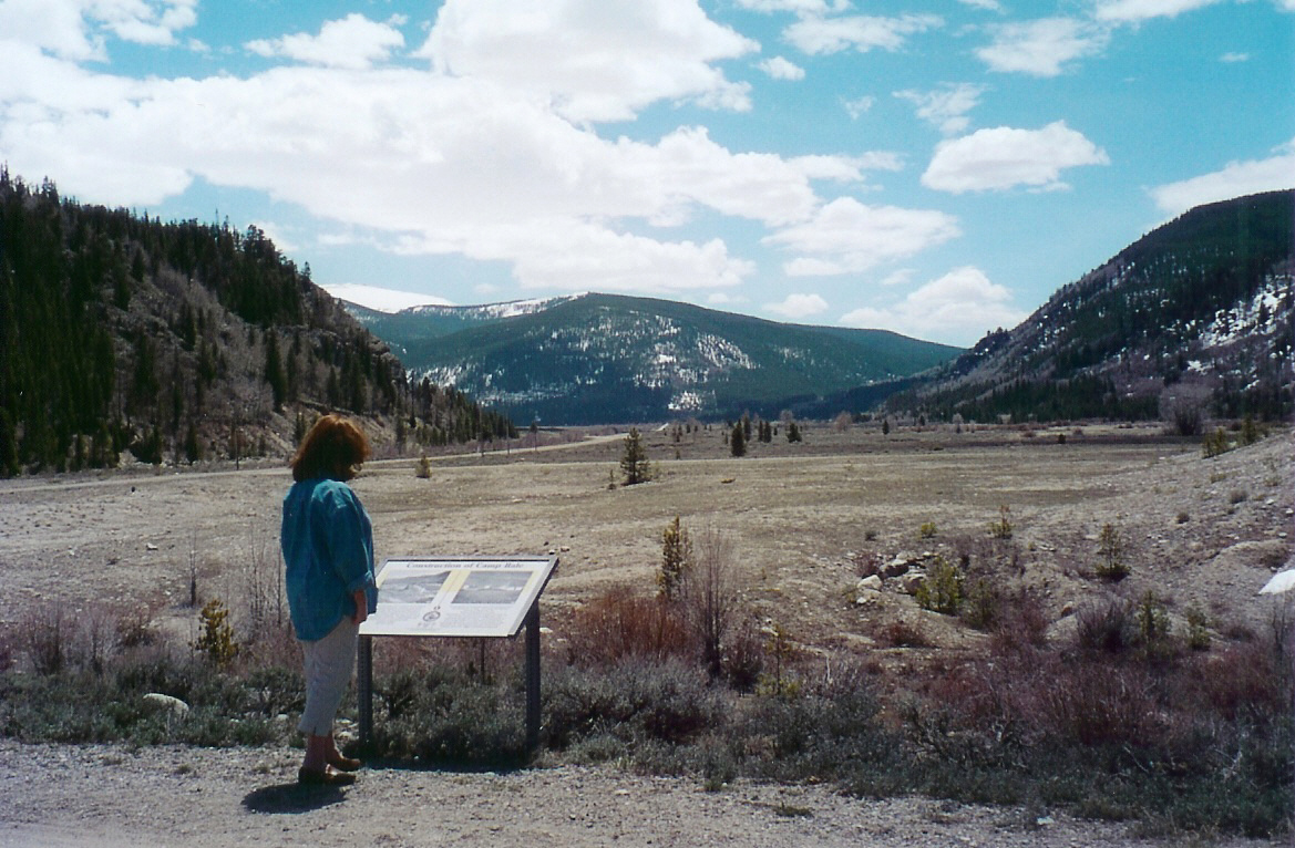
This woman stops to read an interpretive kiosk about Camp Hale.
Public Domain. Photo by Sally Pearce
Download Original (1169 x 766 pixels, 630.9 KB)
-
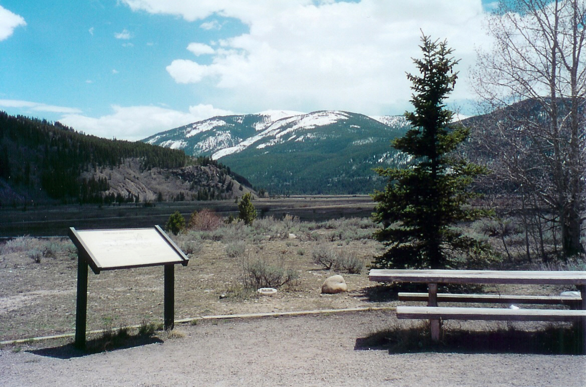
These fields, part of Camp Hale, were used during the WWII training grounds for the 10th Mountain Division.
Public Domain. Photo by Sally Pearce
Download Original (1169 x 772 pixels, 694.4 KB)
-
The sky, though cloudy, adds to the beauty that surrounds Camp Hale Memorial.
Public Domain. Photo by Sally Pearce
Download Original (1169 x 766 pixels, 588.7 KB)
-
The soft mountain hills and cloud-scattered sky create the perfect atmosphere at Camp Hale Memorial.
Public Domain. Photo by Sally Pearce
Download Original (1168 x 772 pixels, 583.2 KB)
-

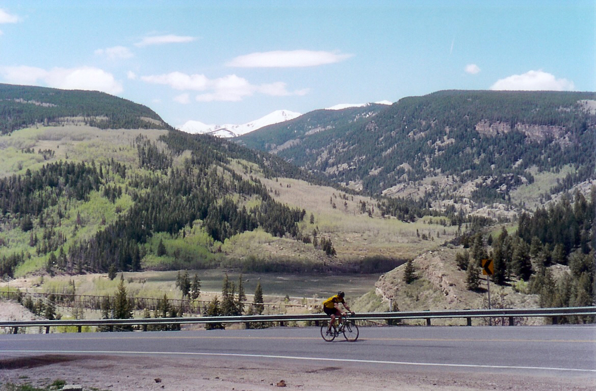
This biker rides along US Highway 24, climbing up Battle Mountain from Minturn.
Public Domain. Photo by Sally Pearce
Download Original (1169 x 766 pixels, 624.4 KB)
-
Historically a railroad town, Minturn serves as the western gateway to the Top of the Rockies.
Public Domain. Photo by Sally Pearce
Download Original (1170 x 780 pixels, 651.3 KB)
-
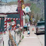
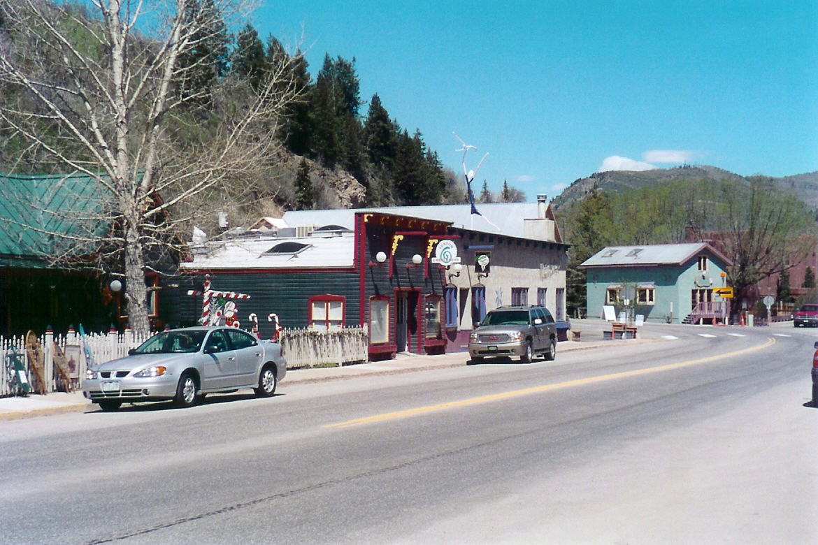
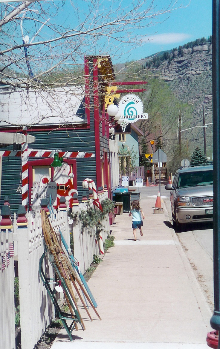
Small shops are a popular feature in the small town of Minturn.
Public Domain. Photo by Sally Pearce
Download Original (736 x 1164 pixels, 707.1 KB)
-
The highest peak in Colorado at 14,433 feet above sea level, Mount Elbert forms a backdrop against and a reflection in Turquoise Lake on a cloud-free day.
Public Domain. Photo by Sally Pearce
Download Original (996 x 662 pixels, 416.9 KB)
-
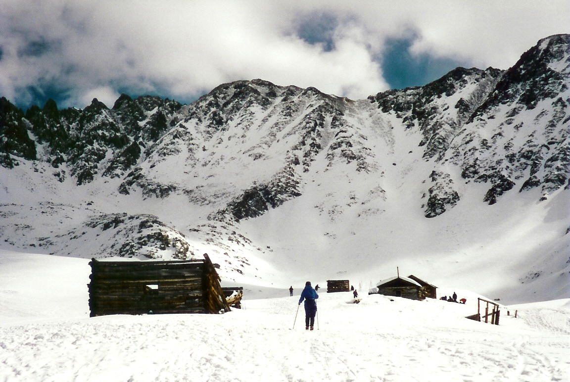
Crosscountry skiing is one of the winter recreation activities along the Top of the Rockies, Mayflower Gulch being one of the top destinations.
Public Domain. Photo by Sally Pearce
Download Original (1152 x 772 pixels, 590.3 KB)
-
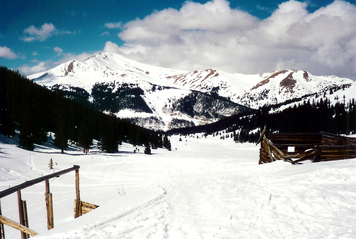
With white in the sky and on the ground, Mayflower Gulch provides the perfect place to snow ski.
Public Domain. Photo by Sally Pearce
Download Original (1154 x 772 pixels, 555.7 KB)
-
The area above Leadville was historically mined for its gold and silver. The hills can be seen between the trees and next to the road ahead.
Public Domain. Photo by Sally Pearce
Download Original (1140 x 758 pixels, 570.9 KB)
-
This view from the mining area reveals the peaceful landscapes below.
Public Domain. Photo by Sally Pearce
Download Original (1466 x 972 pixels, 859.8 KB)
-
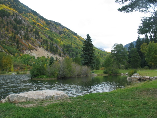
South of Leadville, Hayden Meadows Pond ripples in the soft breeze of a spring day.
Public Domain. Photo by Sally Pearce
Download Original (1172 x 772 pixels, 673.1 KB)
-

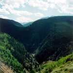
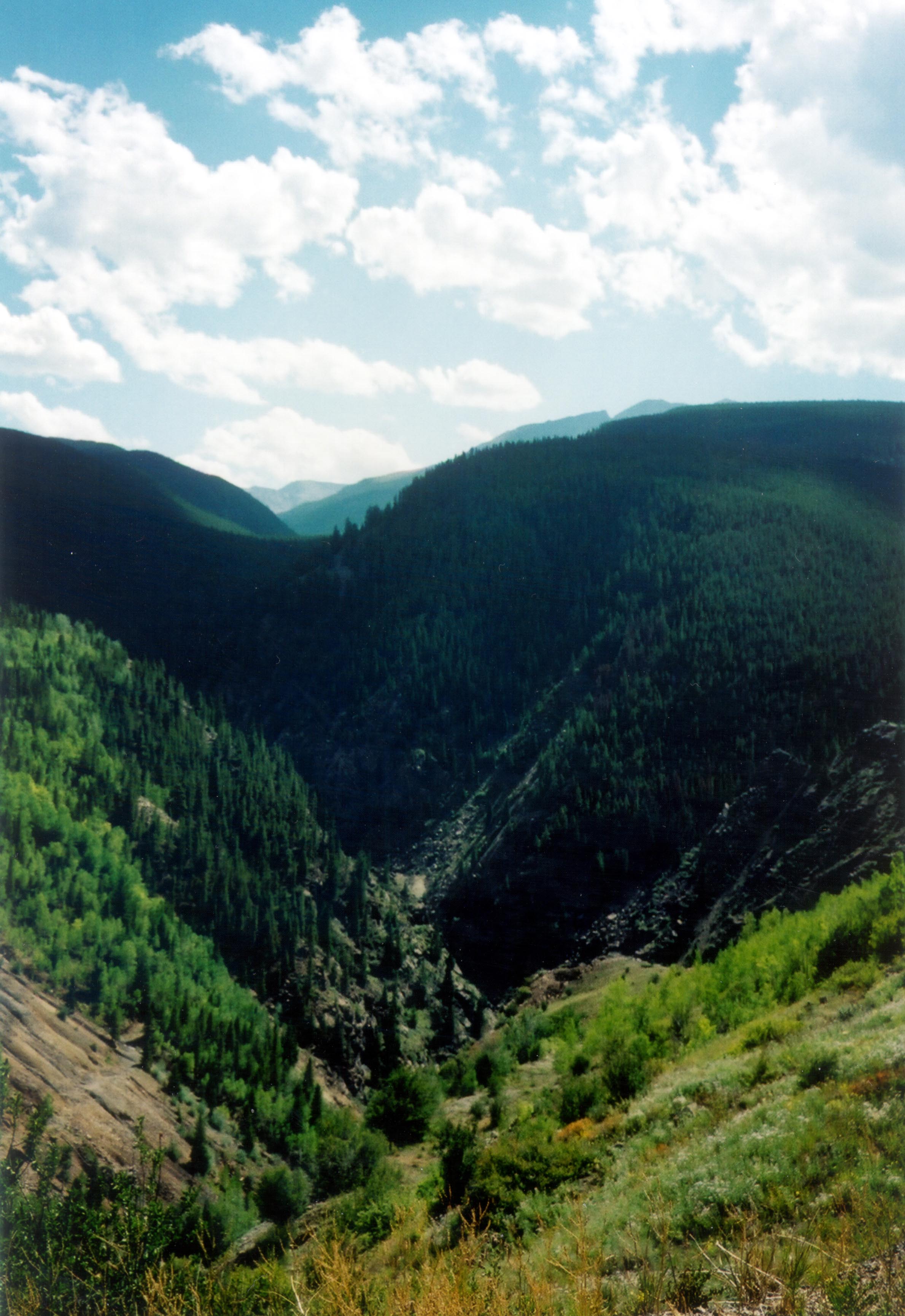
A steep canyon between the mountains lies just behind Twin Lakes.
Public Domain. Photo by Sally Pearce
Download Original (1166 x 780 pixels, 624.0 KB)
-
This snow-capped mountain peak hovers over Twin Lakes.
Public Domain. Photo by Sally Pearce
Download Original (756 x 1159 pixels, 623.7 KB)
-
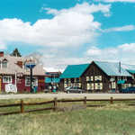
The town of Twin Lakes boasts quaint little shops popular since the 1890s.
Public Domain. Photo by Sally Pearce
Download Original (1170 x 780 pixels, 657.2 KB)
-
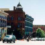
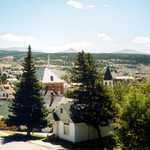
The bustling, mining town of Leadville is rich in history and beautiful architecture.
Public Domain. Photo by Dennis Adams
Download Original (2922 x 1972 pixels, 4300.6 MB)
-
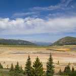
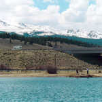
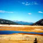
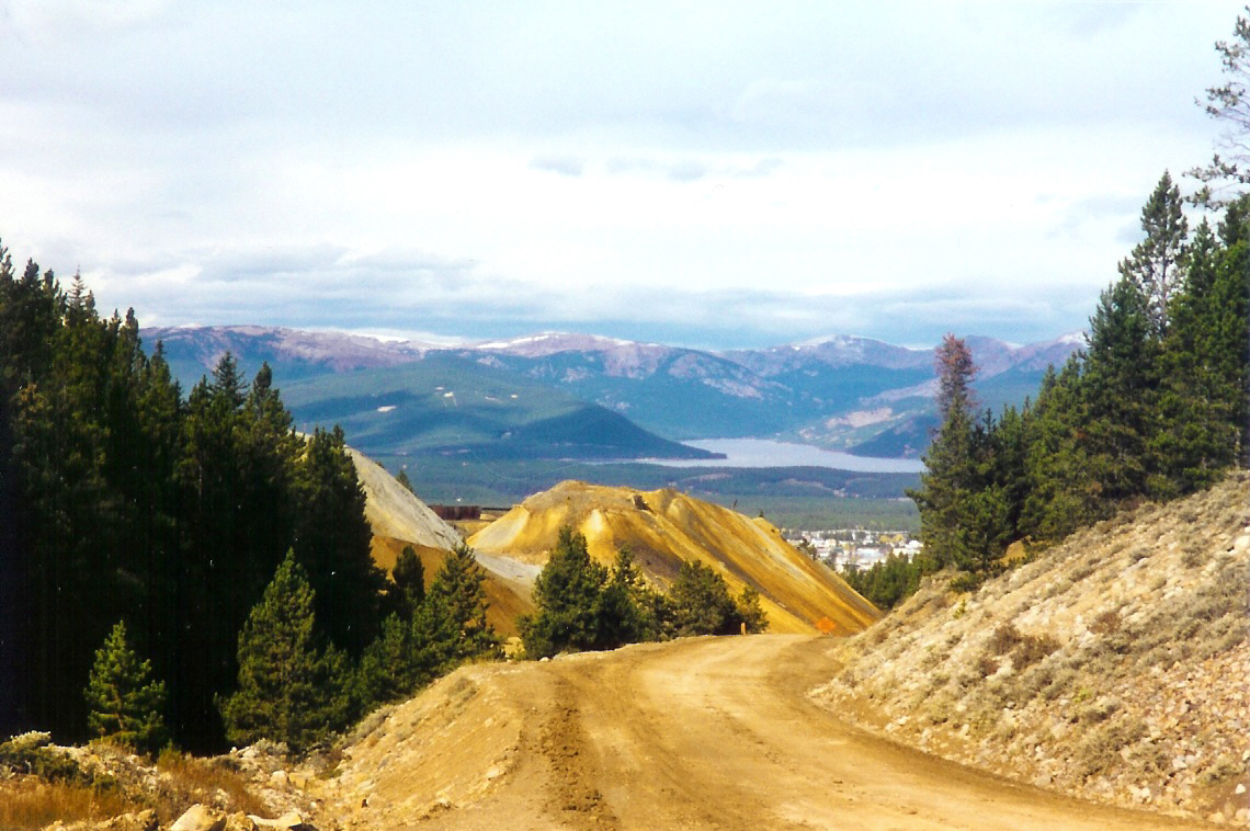
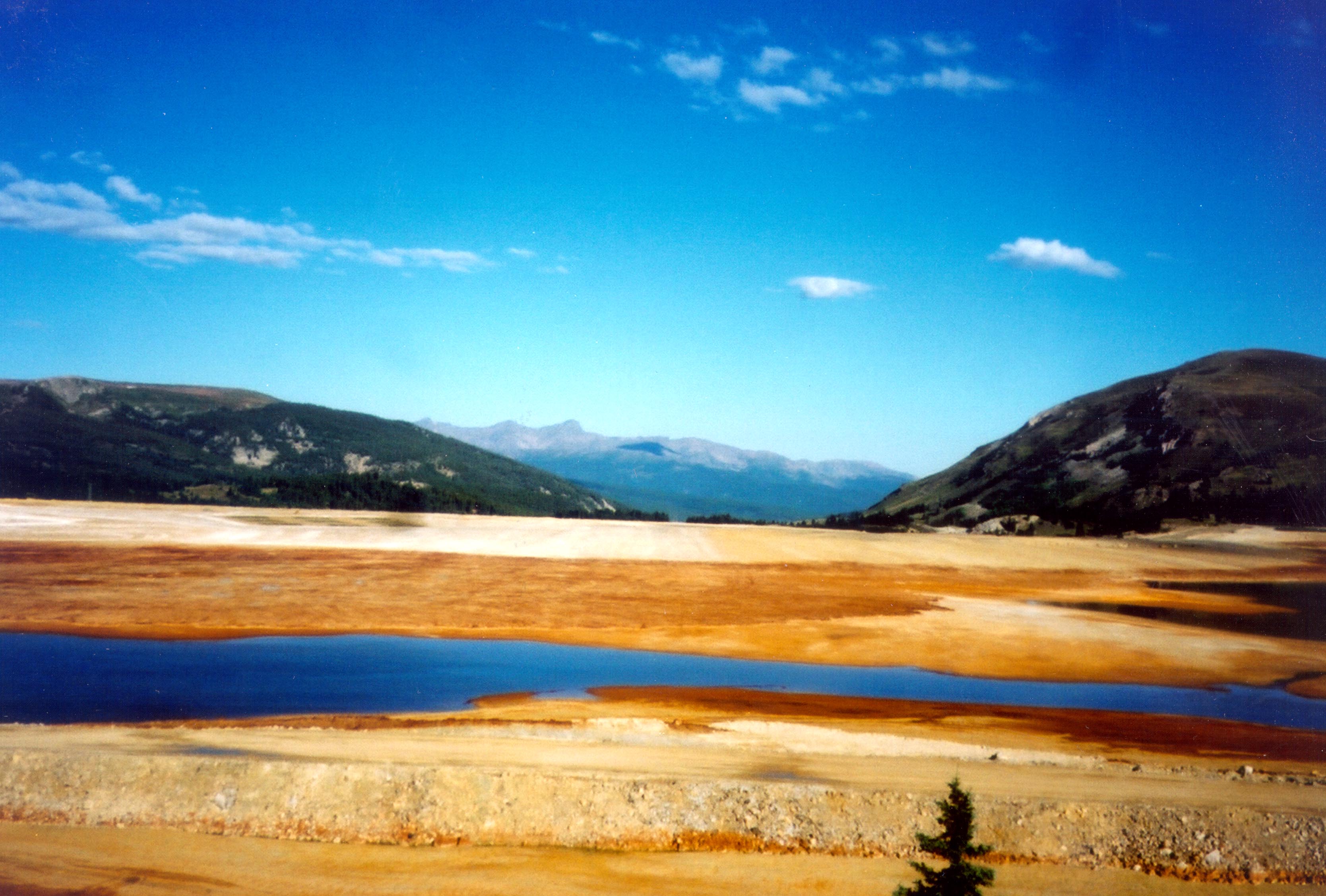
Looking down from Highway 91, colorful soil sets the foreground for sloping green hills.
© August 2006 Neil Li.
Download Original (1280 x 857 pixels, 373.0 KB)
-
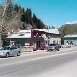
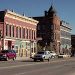
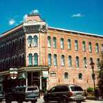
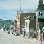
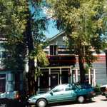
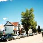
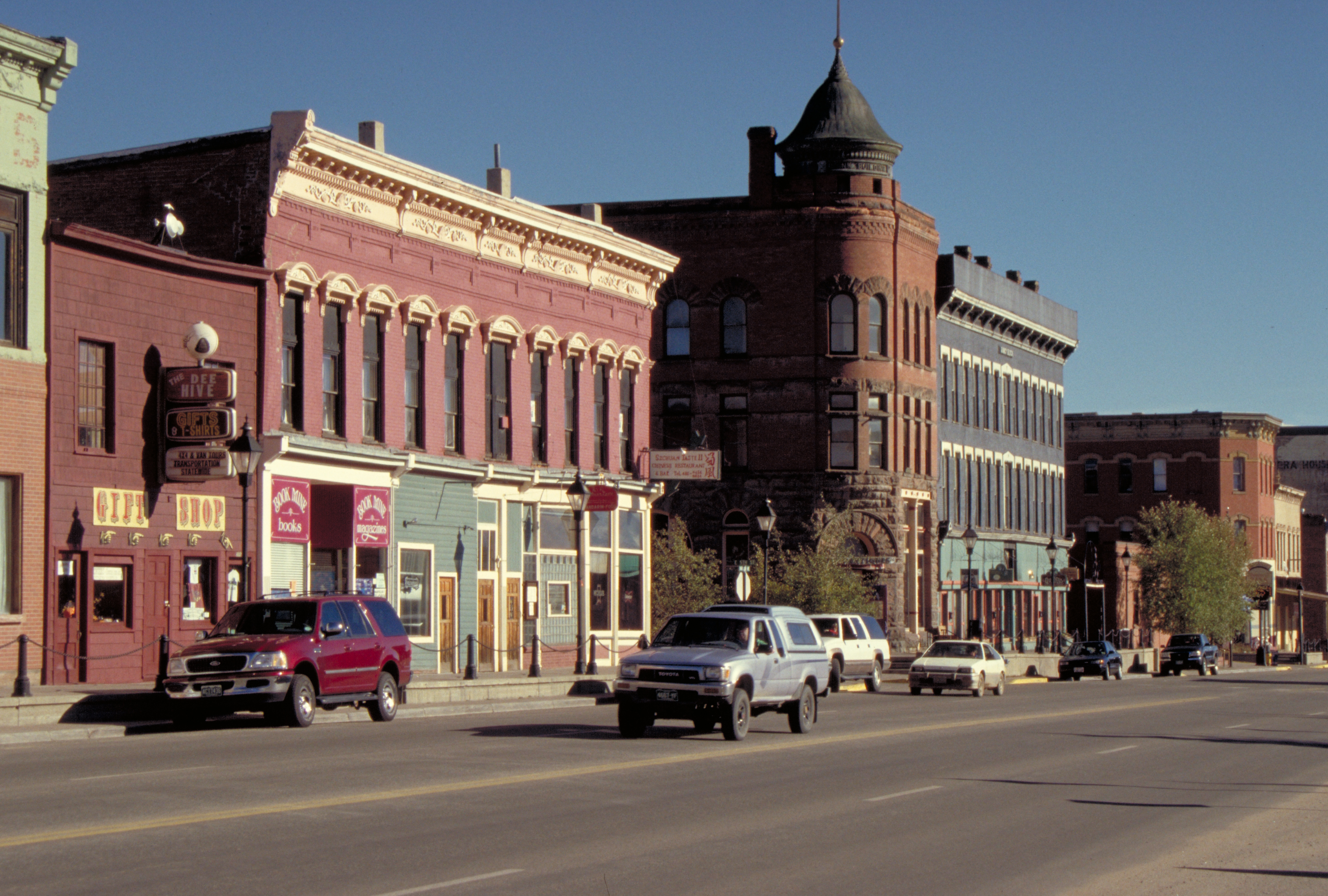
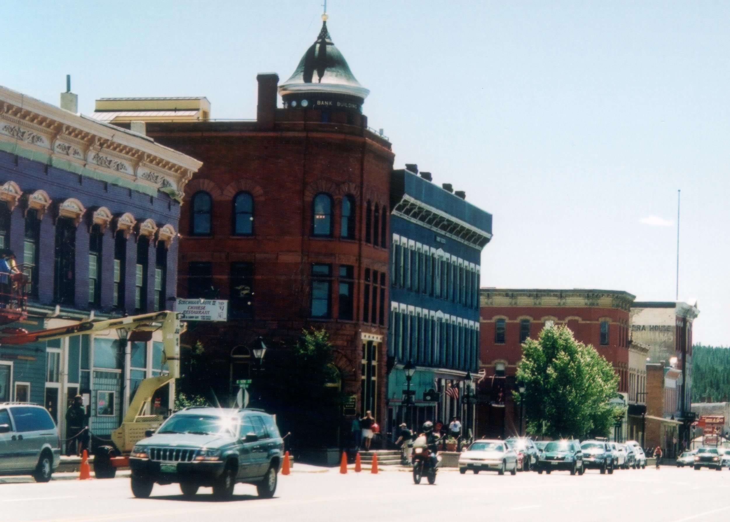
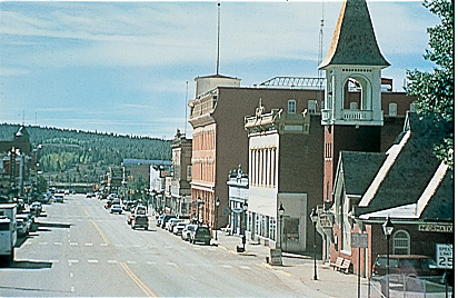
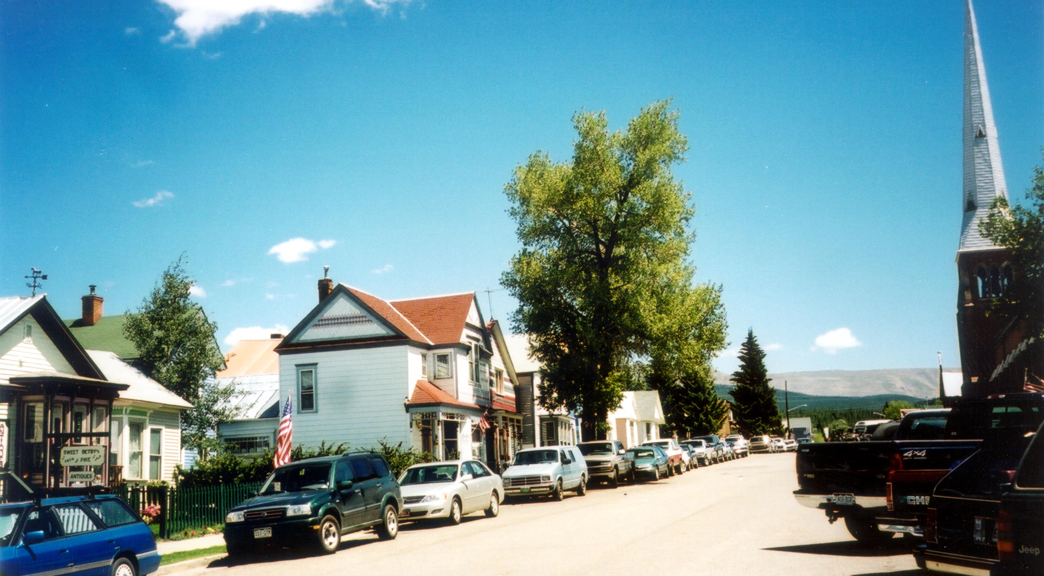
The hub of Leadville is Harrison Avenue with its many historic buildings.
Public Domain. Photo by Jenette Purdy, August 2002
Download Original (2502 x 1788 pixels, 346.7 KB)
-
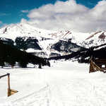
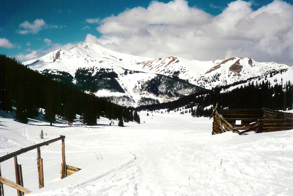
Snow covers this popular cross-country skiing location along Top of the Rockies.
Public Domain. Photo by Sally Pearce
Download Original (1148 x 772 pixels, 558.8 KB)
-
The road to Twin Lakes is characterized by many features, including distant mountains and this irrigation ditch.
© August 2002 Jenette Purdy.
Download Original (3307 x 2166 pixels, 879.8 KB)
-
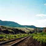
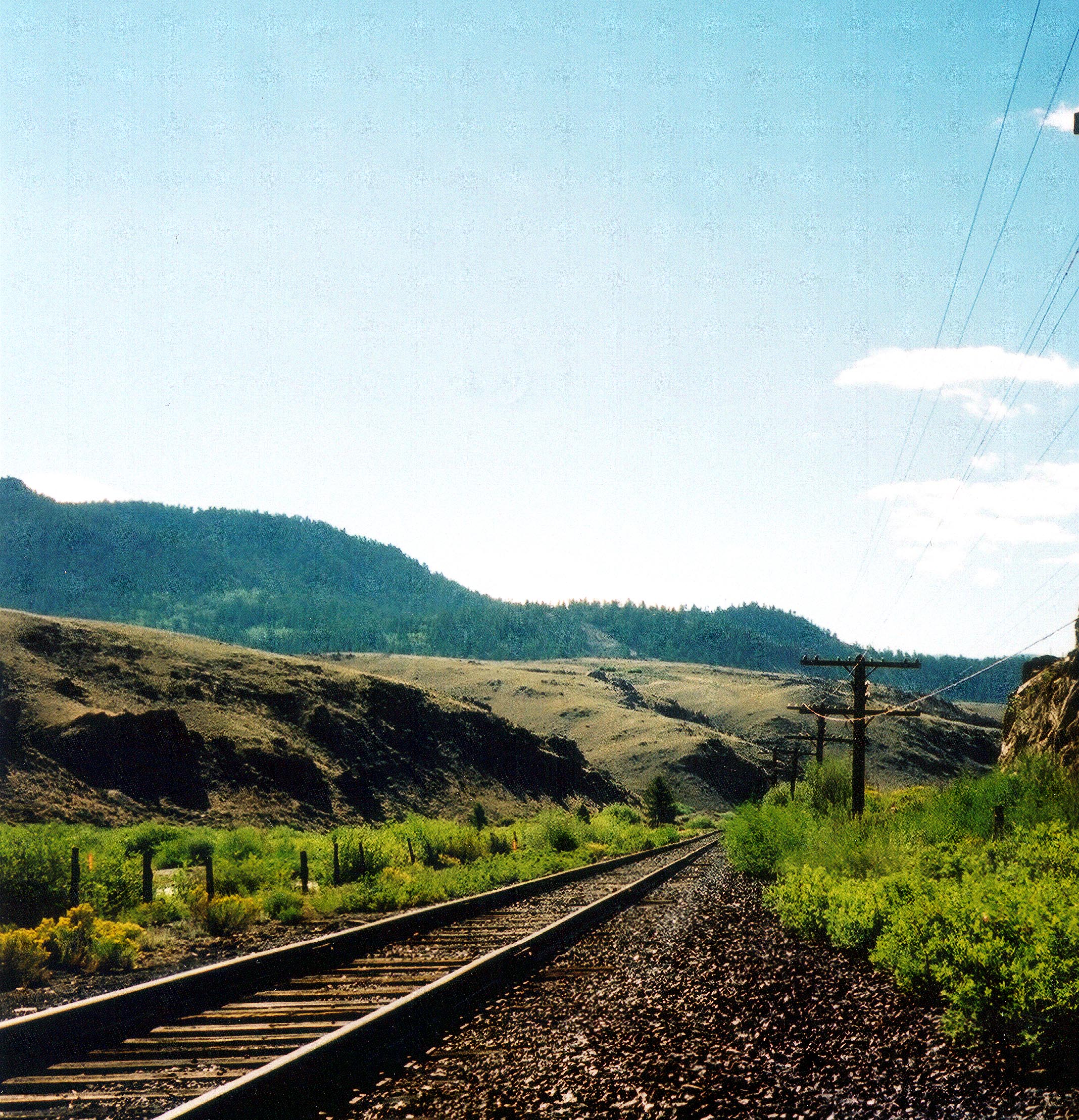
Present day railroad tracks are a reminder of the early days along the Byway when the railroad played such a vital role in the economy of the area.
© September 2002 Jenette Purdy.
Download Original (2136 x 2218 pixels, 1621.8 MB)
-
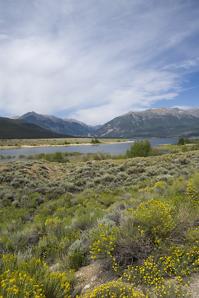
Clouds smear across the sky above a field of wildflowers that sits next to Twin Lakes.
© August 2006 Neil Li.
Download Original (685 x 1024 pixels, 364.7 KB)
-
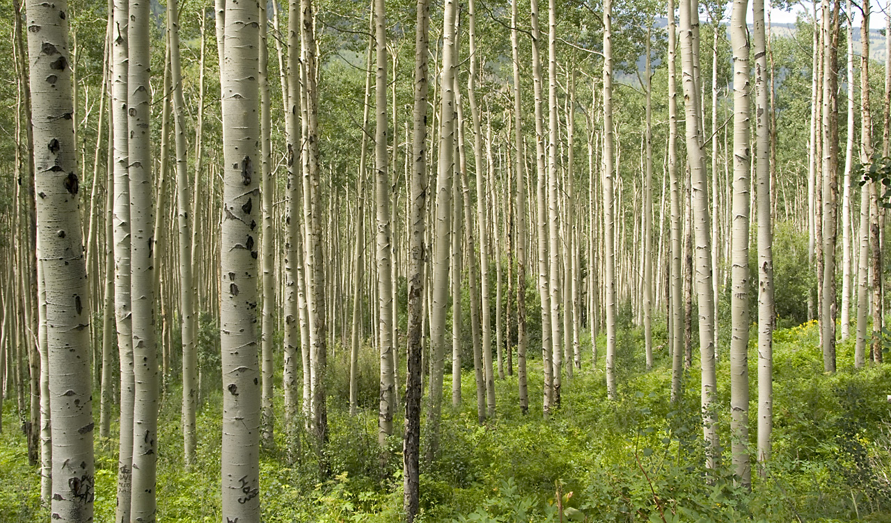
Aspen trees flourish in the summertime along Highway 82 in Colorado.
© August 2006 Neil Li.
Download Original (1280 x 752 pixels, 702.1 KB)
-

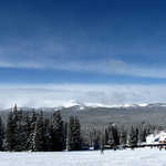
Two hikers enjoy the wide expanse near Independence Pass along Top of the Rockies.
Public Domain.
Download Original (638 x 479 pixels, 169.6 KB)
-
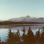
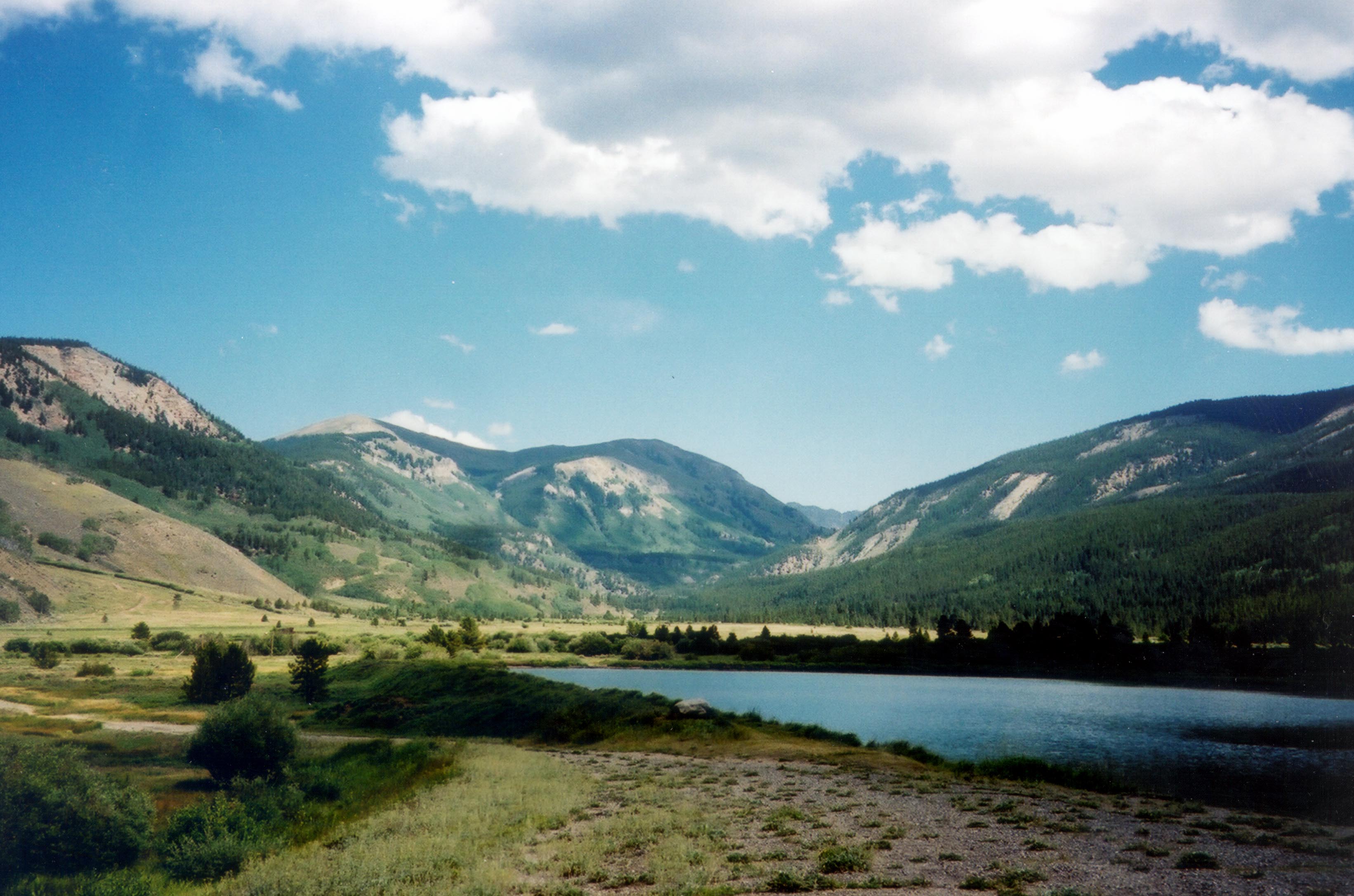
A green field in Twin Lakes shares a calm day with wispy clouds hover near rocky mountain tops.
Public Domain.
Download Original (642 x 481 pixels, 147.1 KB)
-
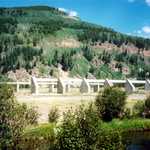
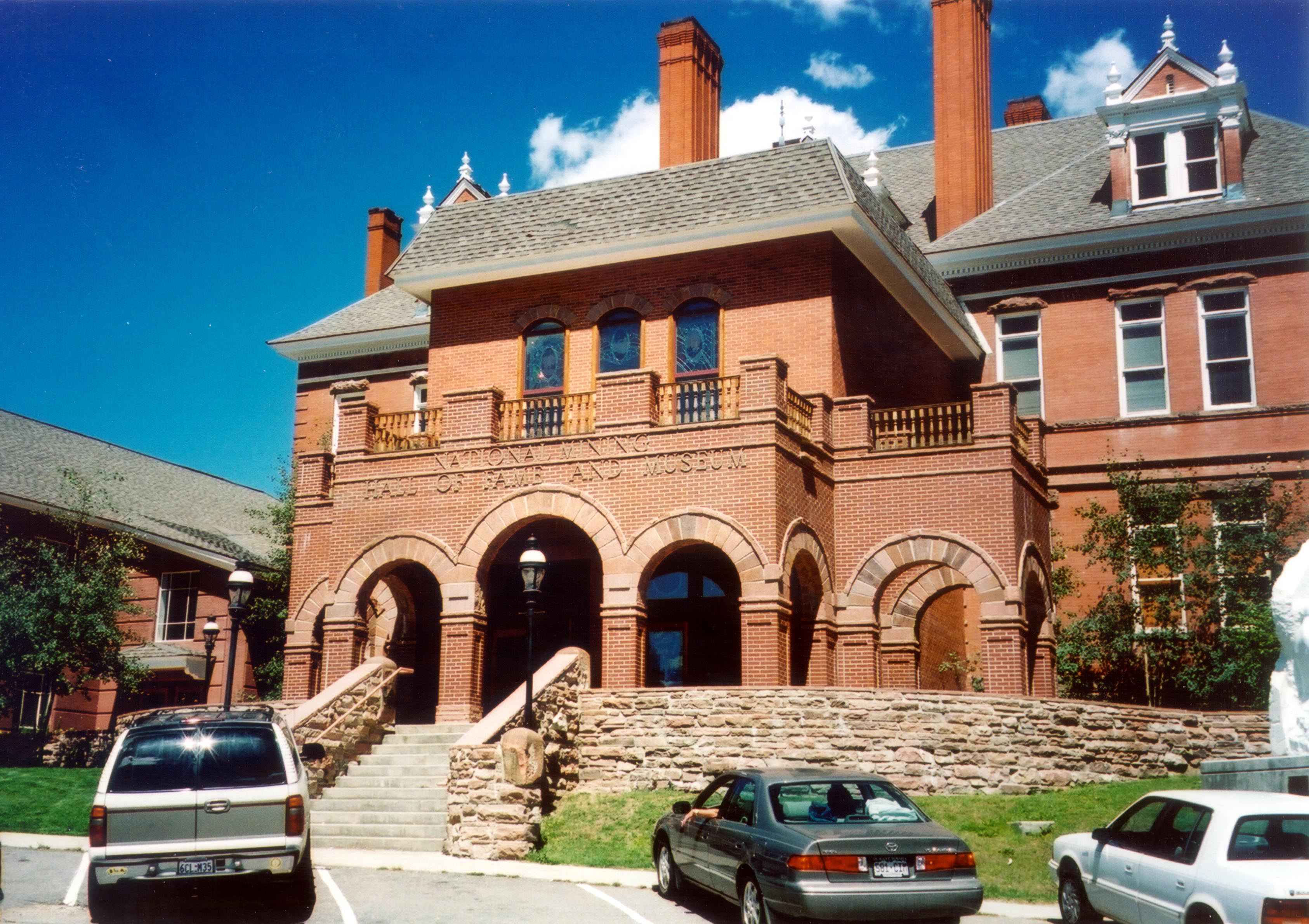
Vehicles wait at the National Mining Hall of Fame and Museum, which stands in grand stature against a piercing blue sky.
Public Domain. Photo by Jenette Purdy
Download Original (3372 x 2381 pixels, 910.3 KB)
-
Looking toward Independence Pass, travelers can see the peacefulness of Tagert Lake and mature Aspen groves beginning to show a hint of gold on the steep hillside.
Public Domain.
Download Original (640 x 480 pixels, 254.0 KB)
-
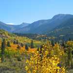
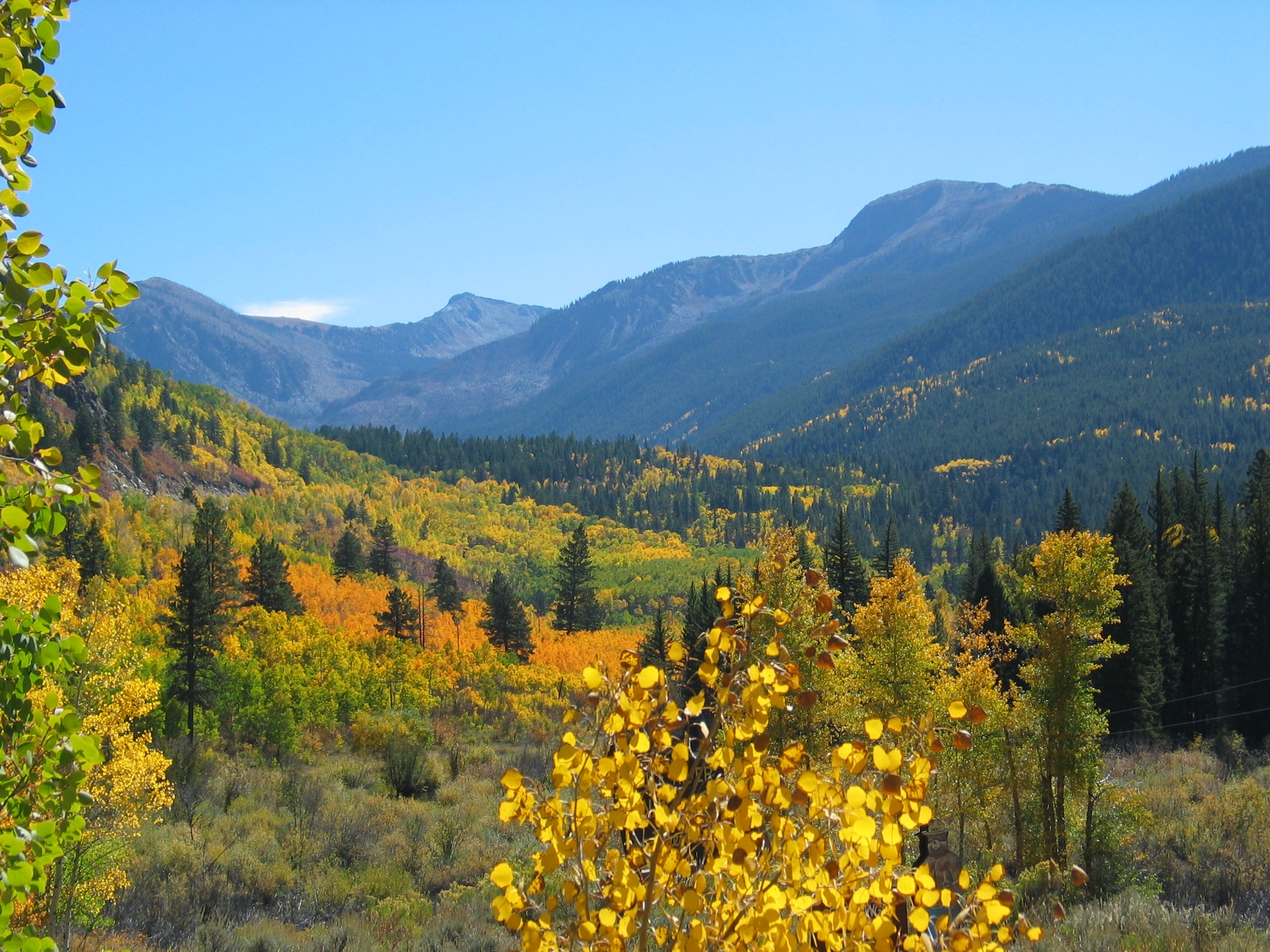
As summer turns to fall, vibrant fall foliage lights up the entire valley below Shimer Peak.
Public Domain.
Download Original (2272 x 1704 pixels, 2691.3 MB)
-
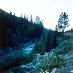
Driving along Highway 82 between Weller and Lost Man, a glimpse of the Roaring Fork River cascading over the rocks below becomes visible.
Public Domain.
Download Original (640 x 480 pixels, 347.6 KB)
-
As Highway 82 winds up to the summit of Independence Pass, the Roaring Fork River and beaver ponds meander around the deserted buildings of the Independence Ghost town.
Public Domain.
Download Original (2592 x 1944 pixels, 2896.5 MB)
-
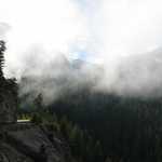
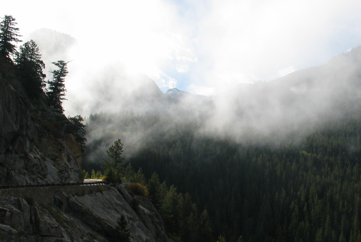
Winding through the Narrows, Highway 82 clings to the cliff as low lying clouds allow a glimpse at a peak near the Independence Pass ridgeline and the vibrant blue Colorado sky.
Public Domain.
Download Original (1448 x 972 pixels, 365.8 KB)
-
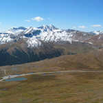
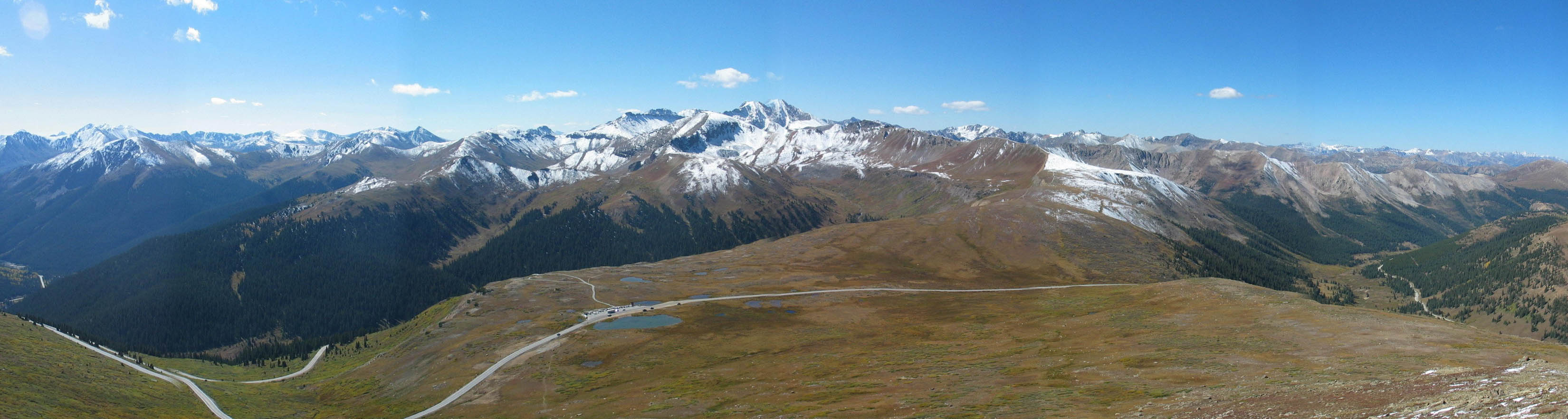
In this panoramic view, Highway 82 crosses the summit of Independence Pass at an elevation of 12,095 feet, one of the highest paved roads in the US. Stretching off to the west from the summit is the Roaring Fork River valley leading to Aspen, and to the east, the South Fork of Lake Creek leading to Twin Lakes and beyond.
Public Domain.
Download Original (3300 x 882 pixels, 329.6 KB)
-
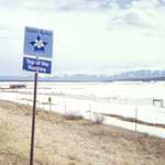
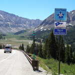
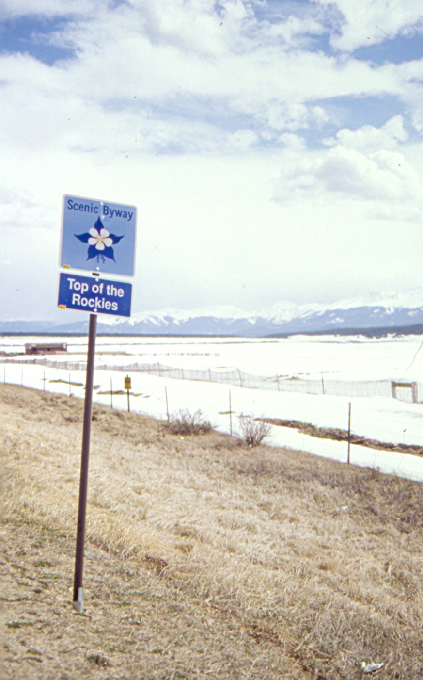
Directional signage featuring the state scenic byway logo guides visitors along the Top of the Rockies Scenic Byway.
Public Domain.
Download Original (873 x 1402 pixels, 877.3 KB)
-
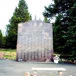
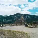
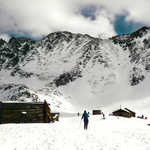
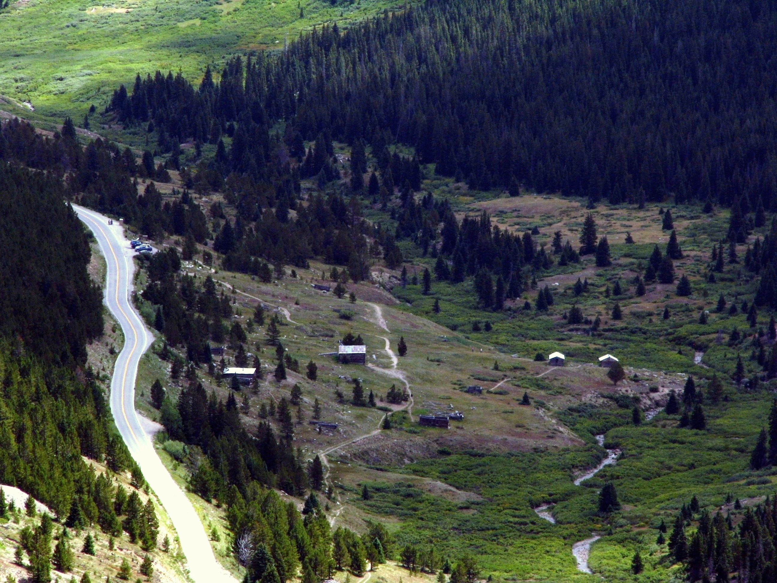
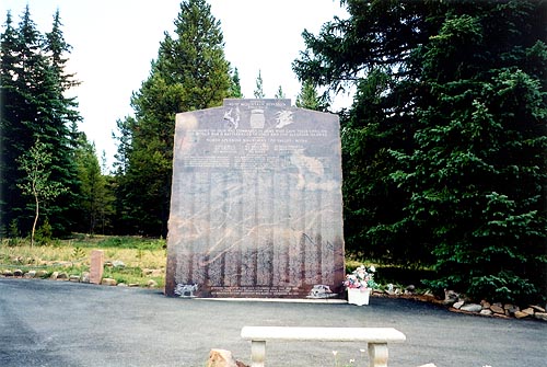
At the entrance to Ski Copper is this memorial to the 10th Mountain Division who trained and camped in the area.
© August 2002 Jenette Purdy.
Download Original (500 x 335 pixels, 62.3 KB)
-
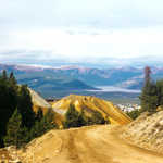
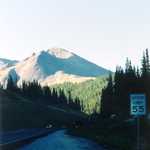
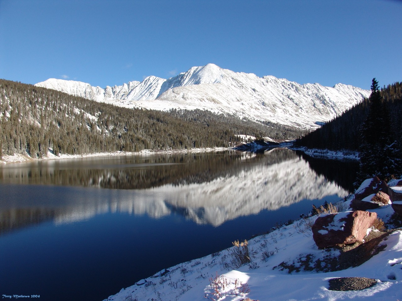
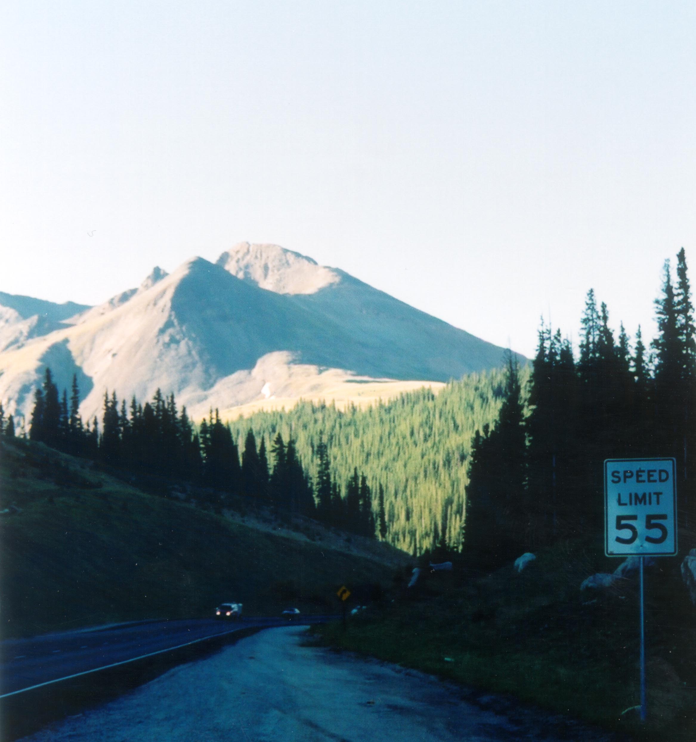
Crystal Peak stands at 13,852 feet along the Top of the Rockies Scenic Byway between Copper Mountain and Leadville, CO.
© April 2005 Terry Mathews.
Download Original (1280 x 960 pixels, 305.8 KB)
-
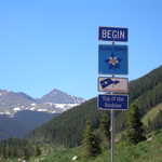
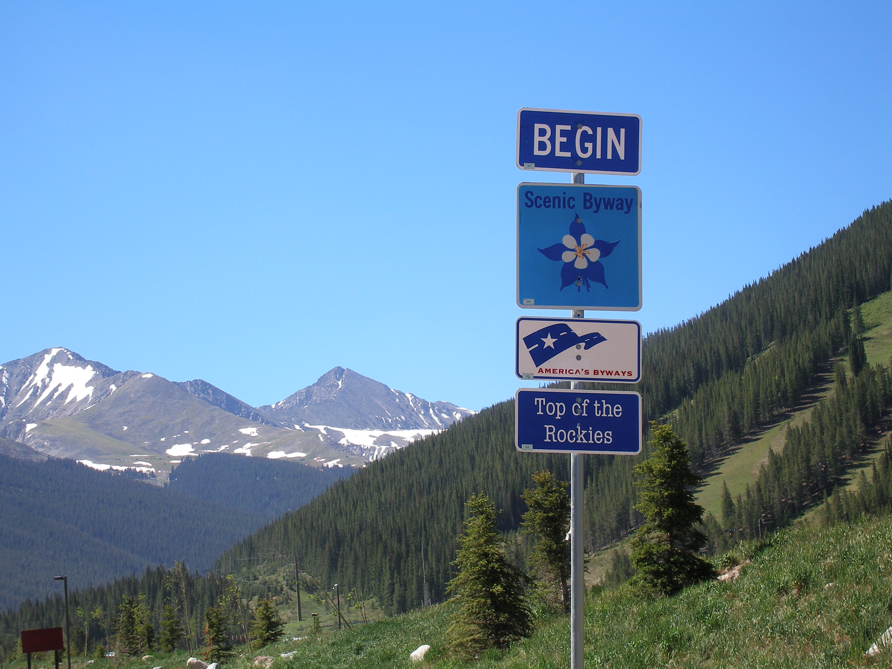
Signage at the start of the Top of the Rockies Scenic Byway in Colorado consists of four parts: a "begin" sign, a Colorado State Scenic Byway sign, an America's Byways sign, and a sign with the name of the byway.
Public Domain.
Download Original (3072 x 2304 pixels, 1618.3 MB)
-
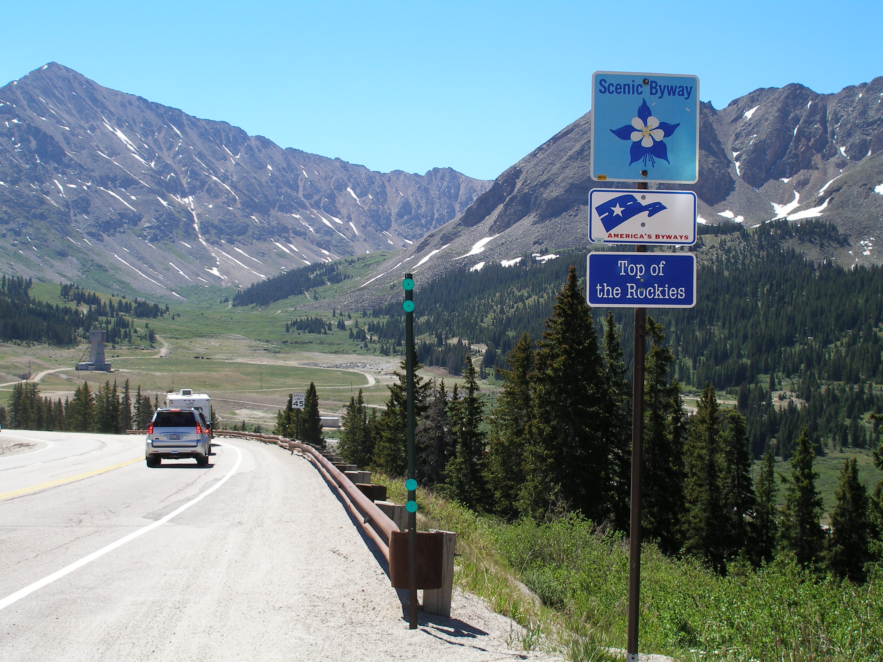
Roadside signage in a mountain valley on the Top of the Rockies Scenic Byway in Colorado consists of three parts: a Colorado State Scenic Byway sign, an America's Byways sign, and a sign with the name of the byway.
Public Domain.
Download Original (3072 x 2304 pixels, 1387.1 MB)
-
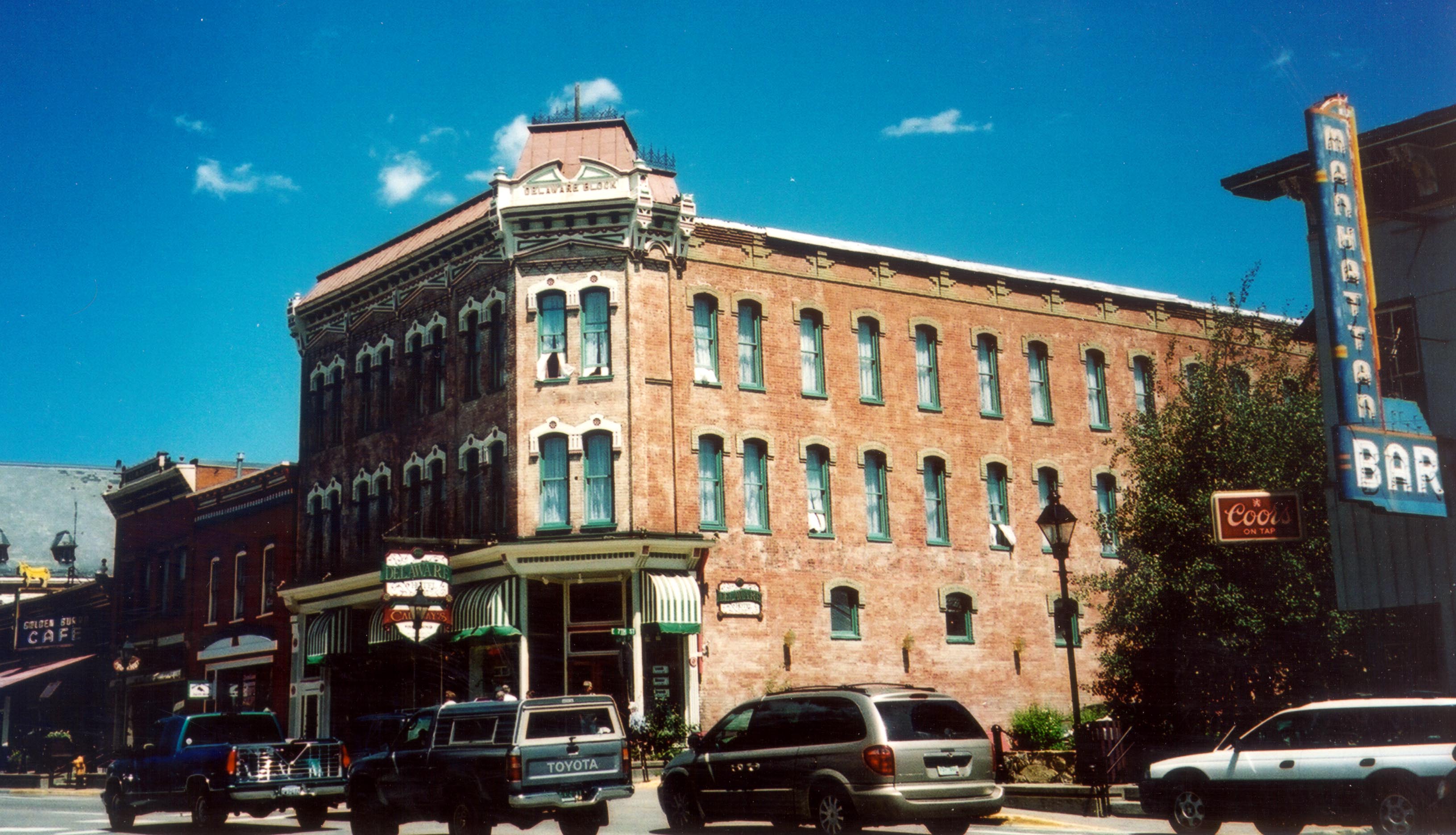
The Delaware Inn is only one of the many historic buildings located along Leadville's Harrison Avenue.
Public Domain. Photo by Jenette Purdy
Download Original (3263 x 1872 pixels, 640.7 KB)
-
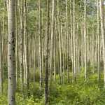
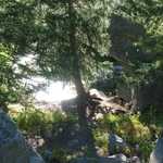
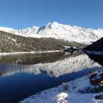
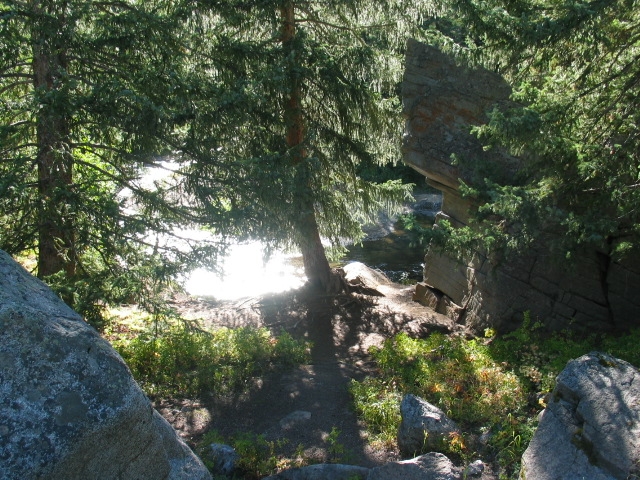
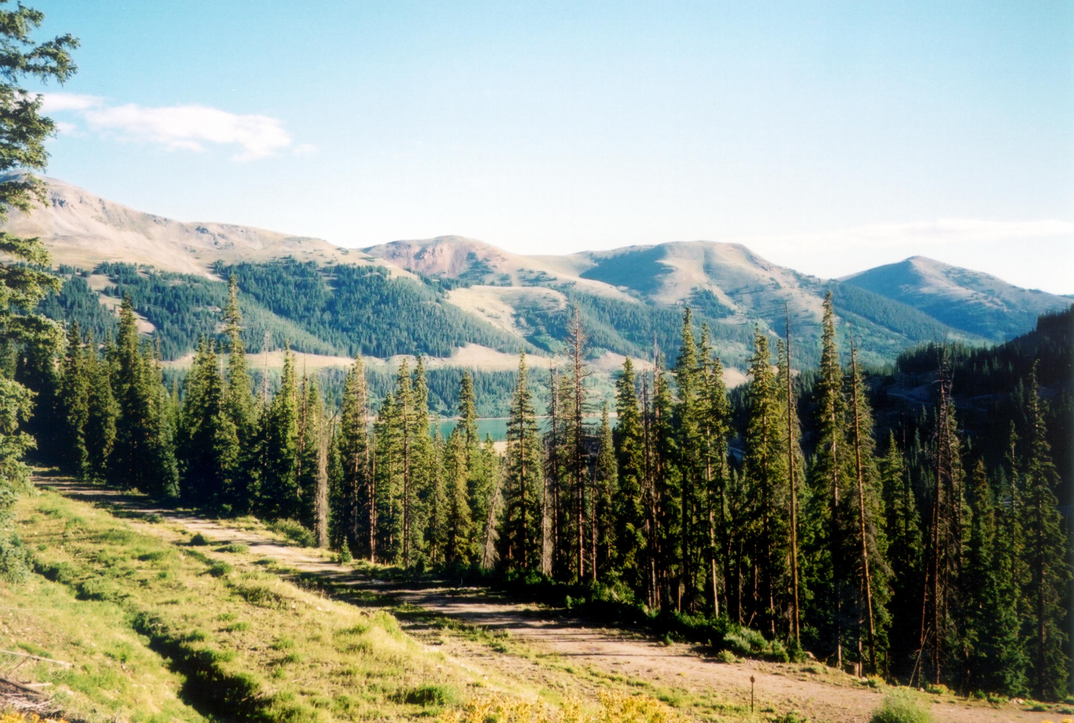
A mountain lake is concealed among the thick stands of pine trees in the Arapaho National Forest.
Public Domain. Photo by Jenette Purdy of NSBO
Download Original (3449 x 2321 pixels, 849.0 KB)
-
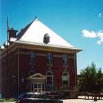
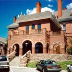
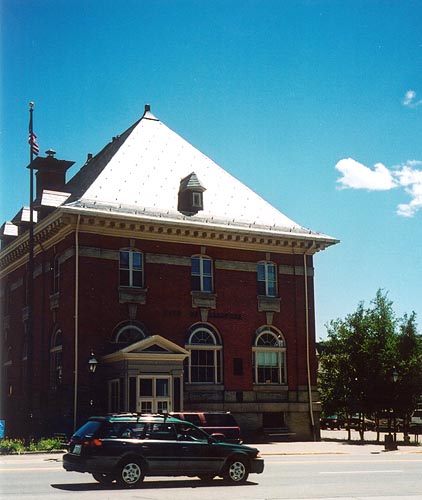
The building which now houses the Leadville City Hall was once the town's post office.
Public Domain. Photo by Jenette Purdy of NSBO
Download Original (422 x 500 pixels, 42.4 KB)
-
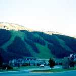
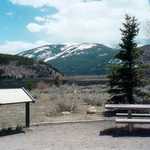
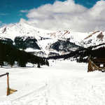
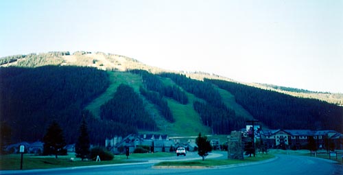
Early morning light hits the slopes of Copper Mountain, located just off I-70.
Public Domain. Photo by Jenette Purdy
Download Original (500 x 255 pixels, 22.5 KB)
-
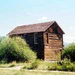
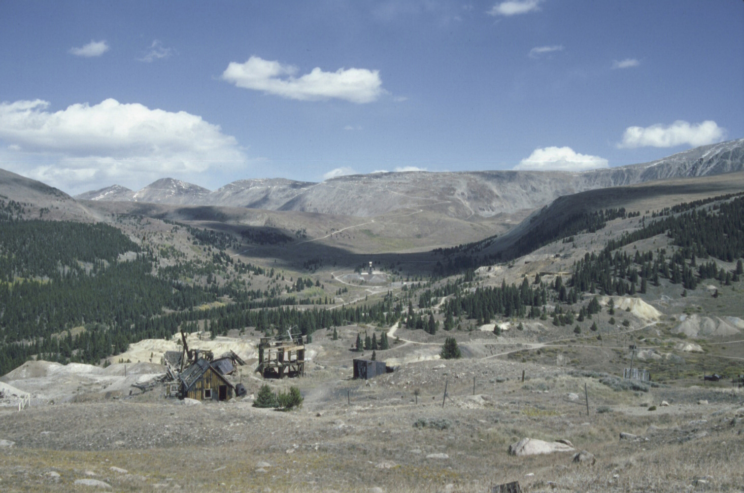
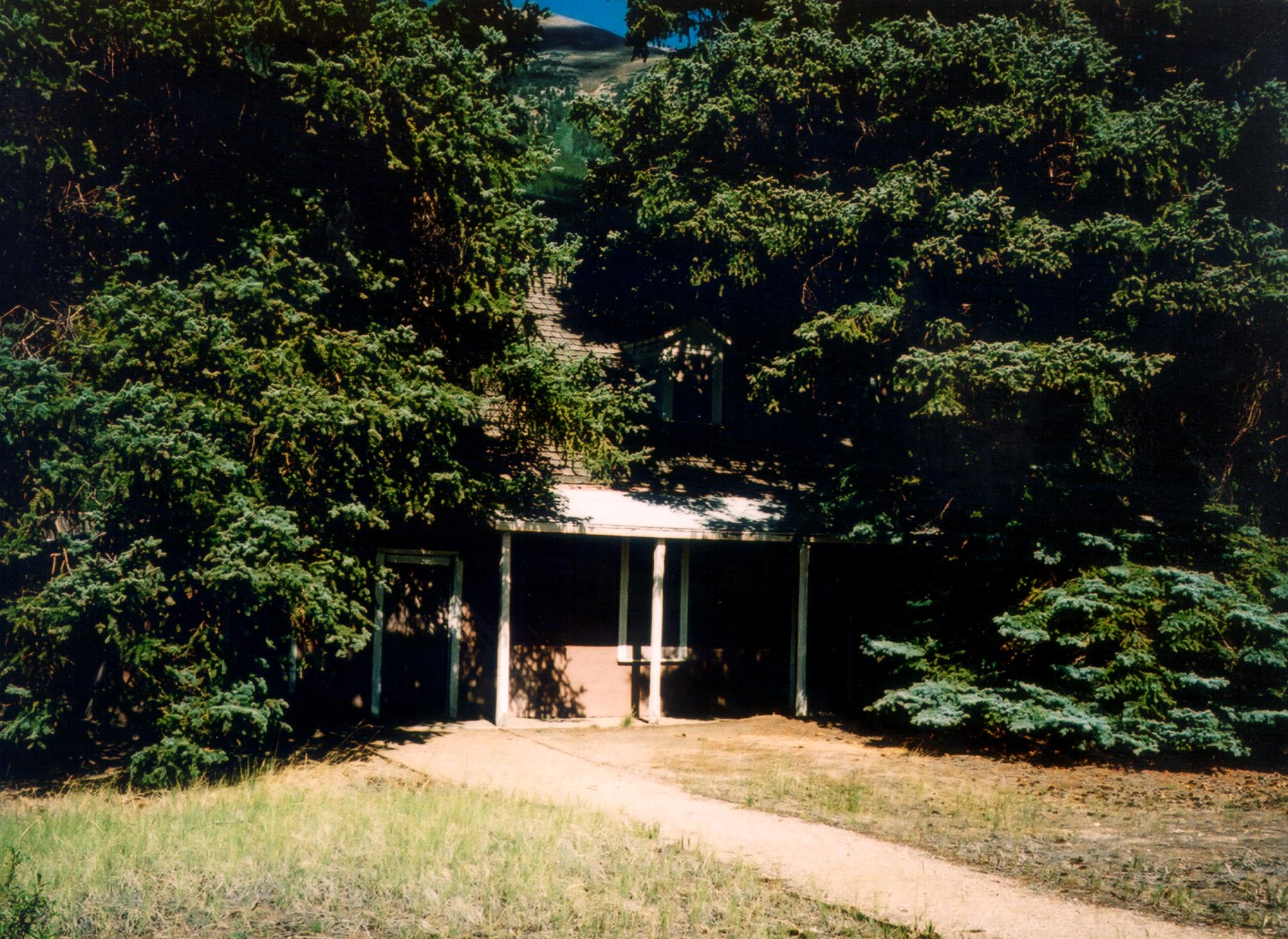
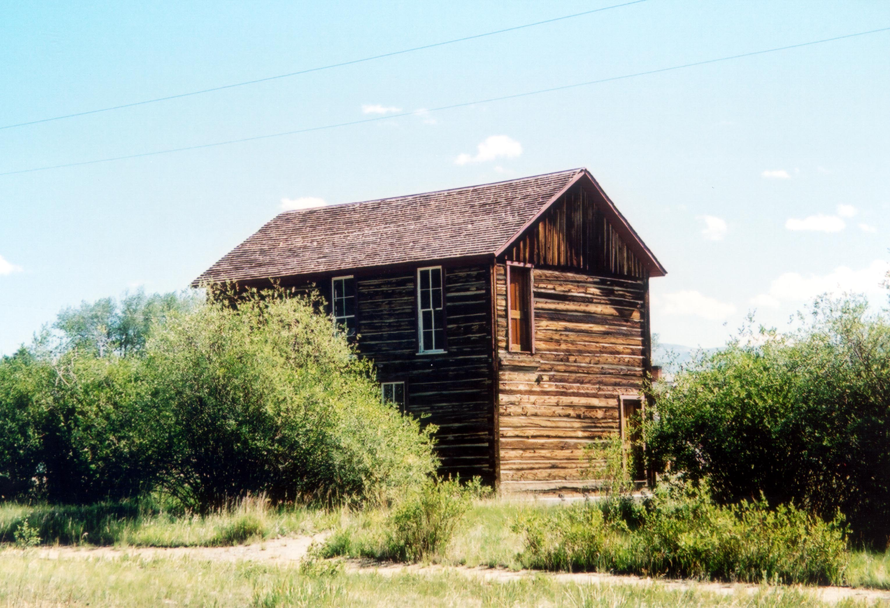
This town shows the impact mining had on the region.
Public Domain.
Download Original (412 x 268 pixels, 92.8 KB)
-
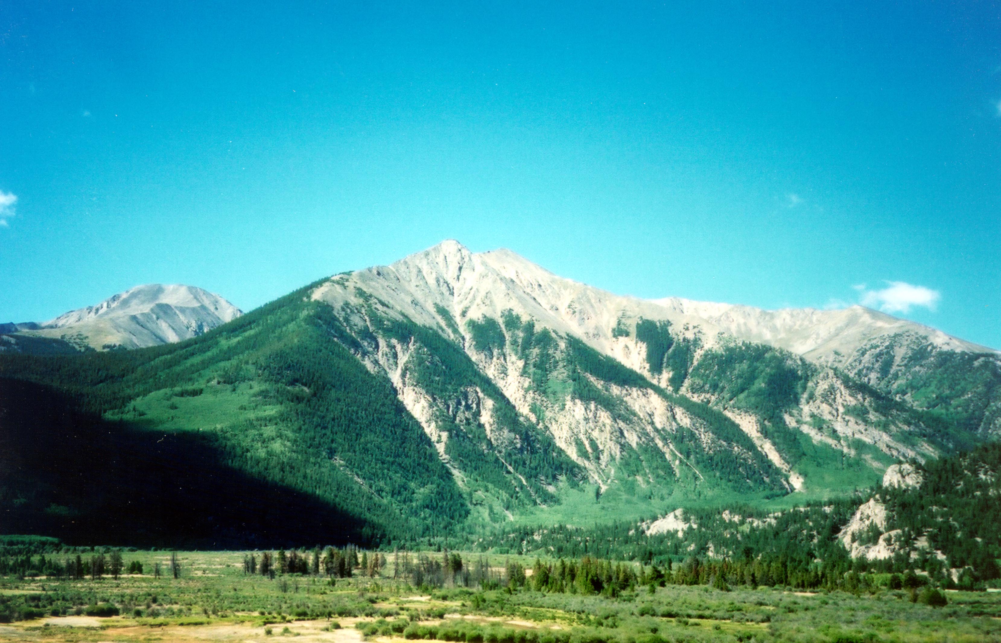
Many shades of green characterize the mountainside along SR 91.
© August 2002 Jenette Purdy.
Download Original (2312 x 3324 pixels, 1003.6 MB)
-
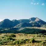
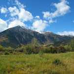
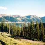
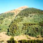
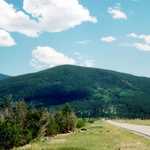
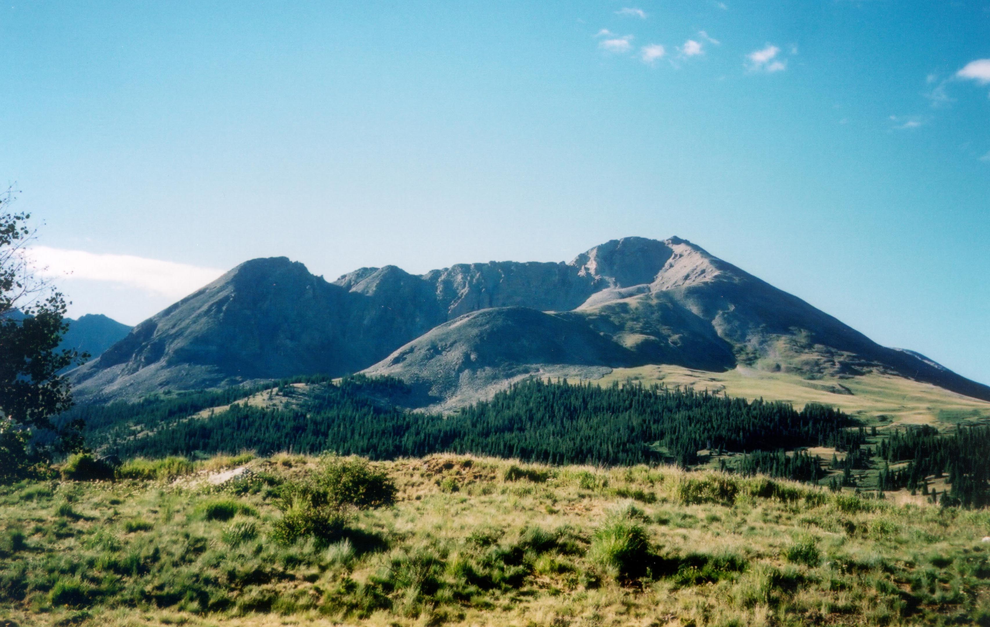
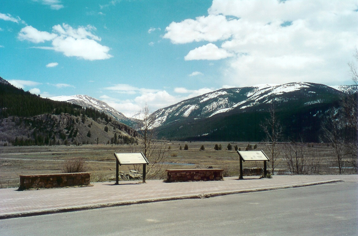
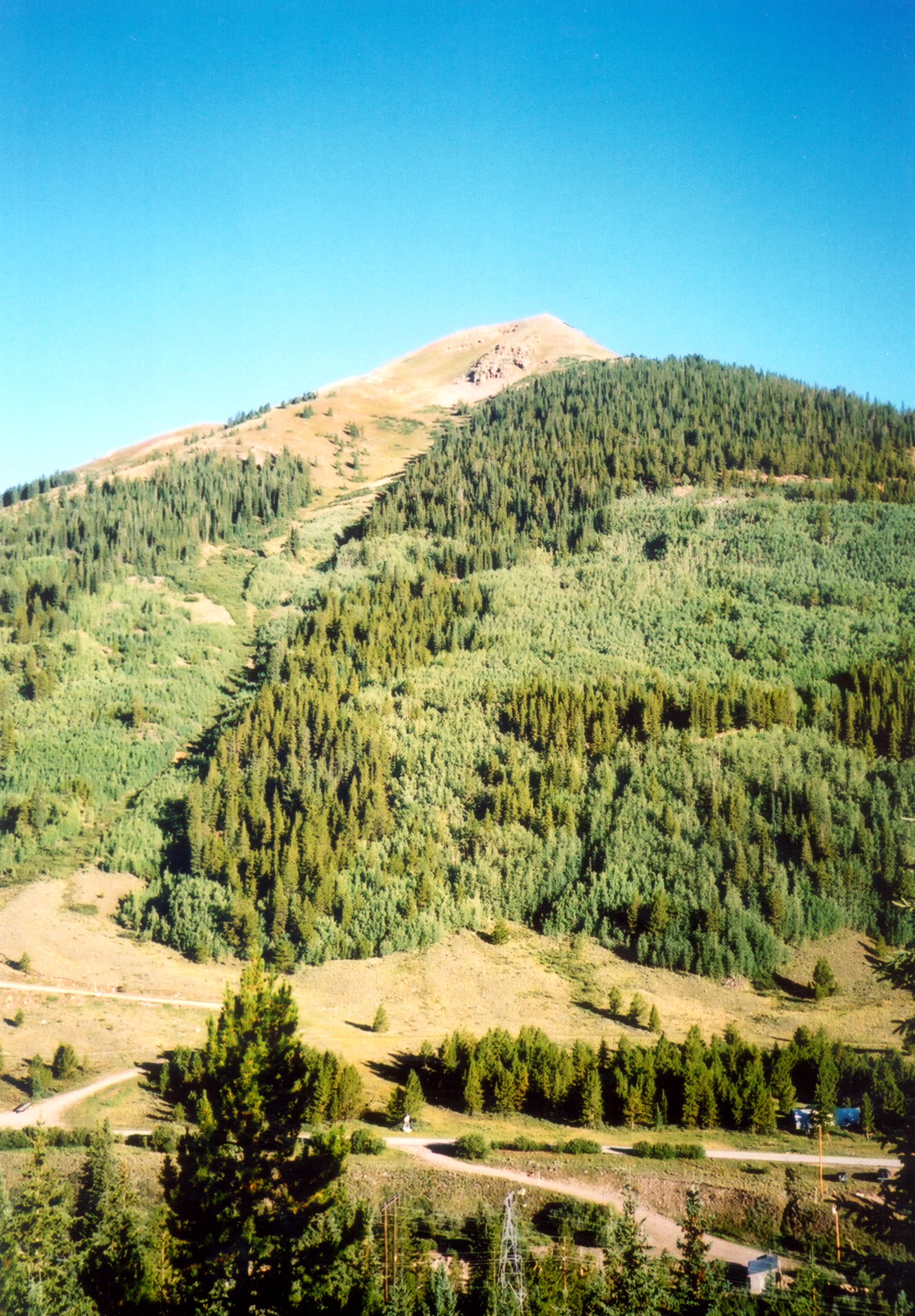
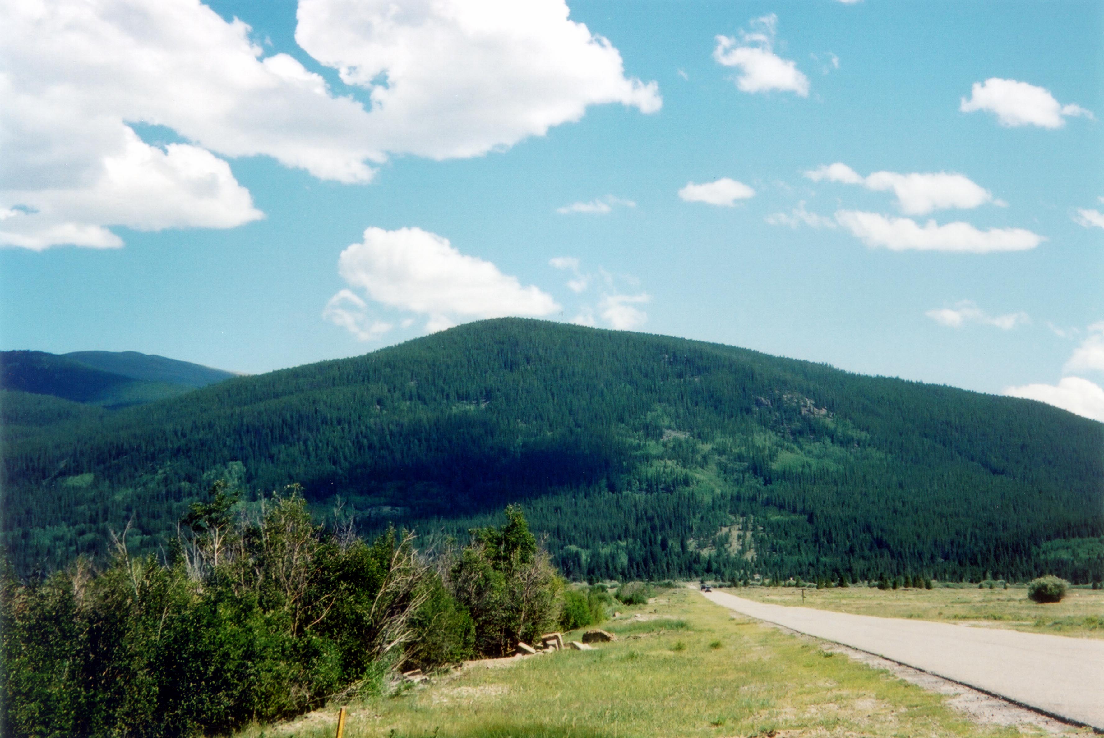
Many of the mountains along the Top of the Rockies stand above the tree line.
© August 2002 Jenette Purdy.
Download Original (2334 x 2490 pixels, 311.3 KB)
-
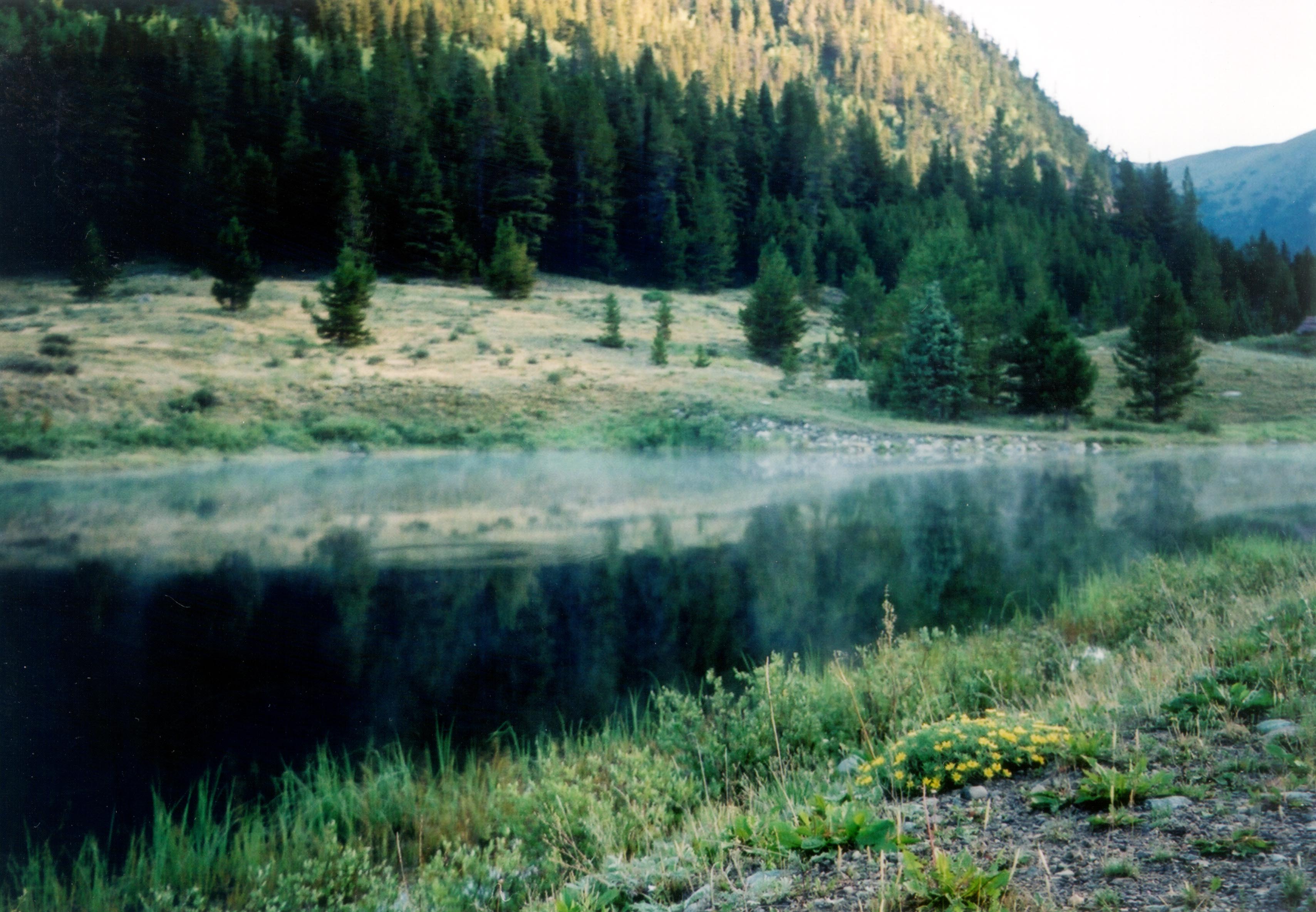
Early morning mist rises from a roadside pond along SR 91.
© August 2002 Jenette Purdy.
Download Original (3417 x 2367 pixels, 708.2 KB)
-
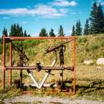
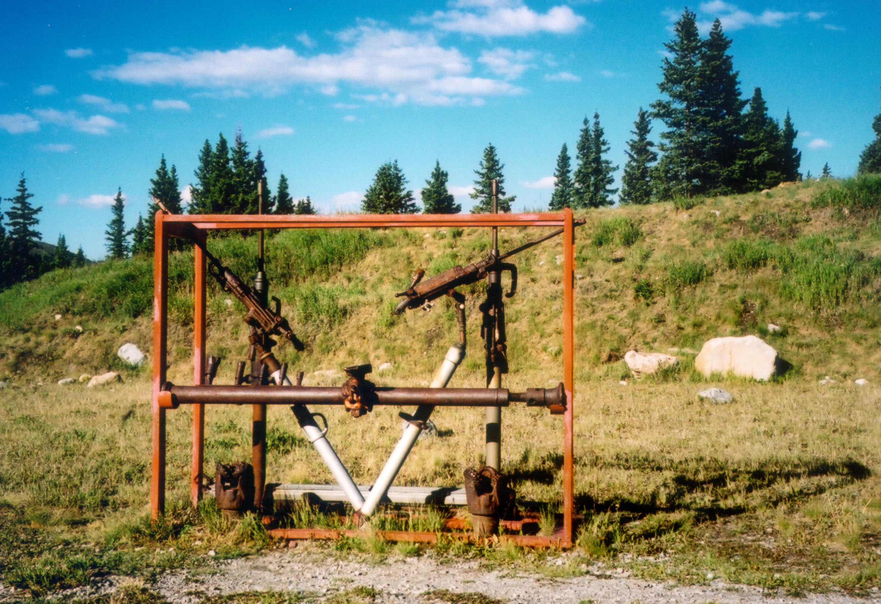
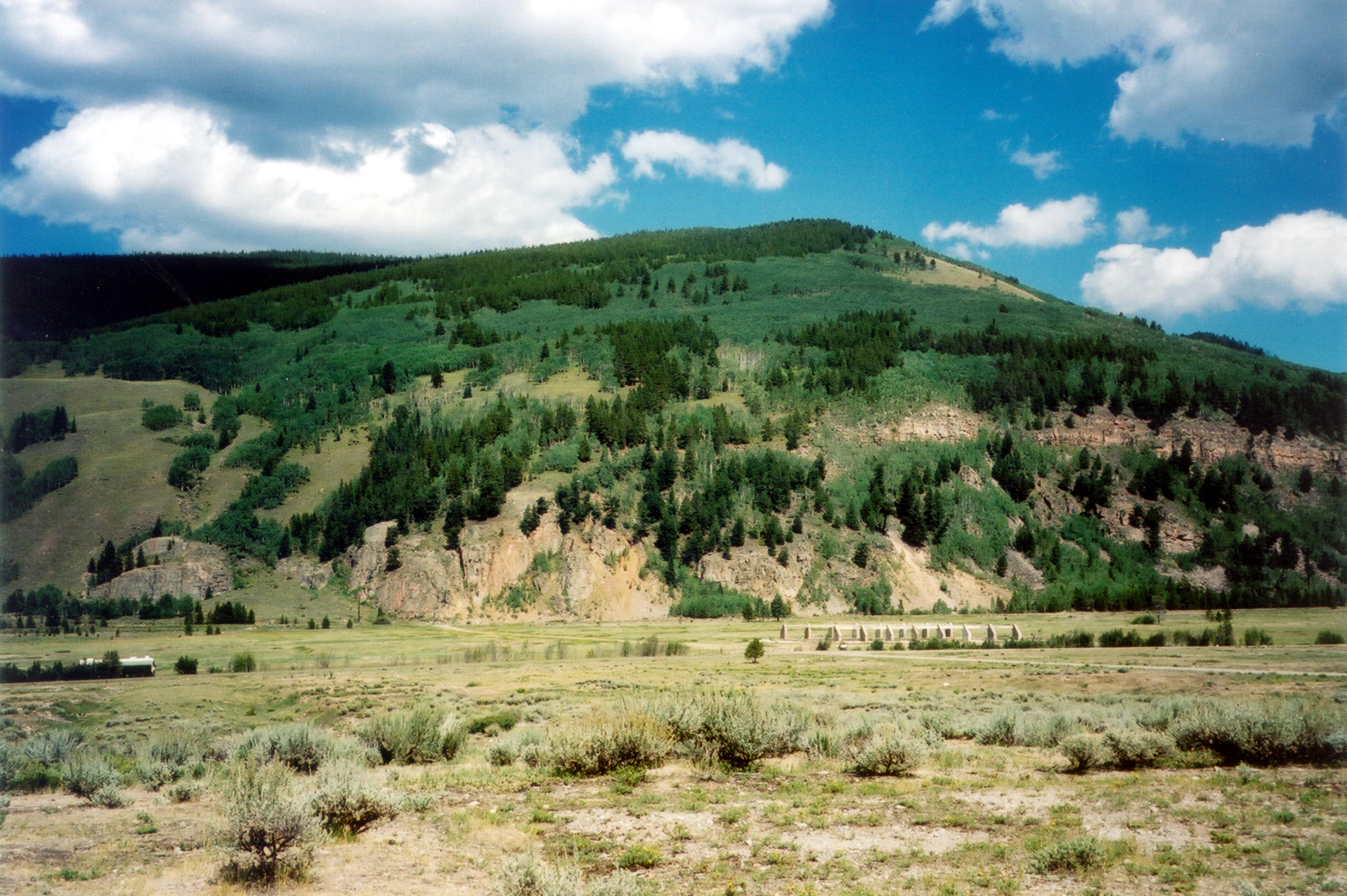
Mining equipment and interpretive signs tell the story about the Climax Mine, which is just across the road.
© August 2002 Jenette Purdy.
Download Original (2944 x 2019 pixels, 766.1 KB)
-
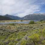
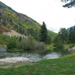
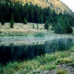
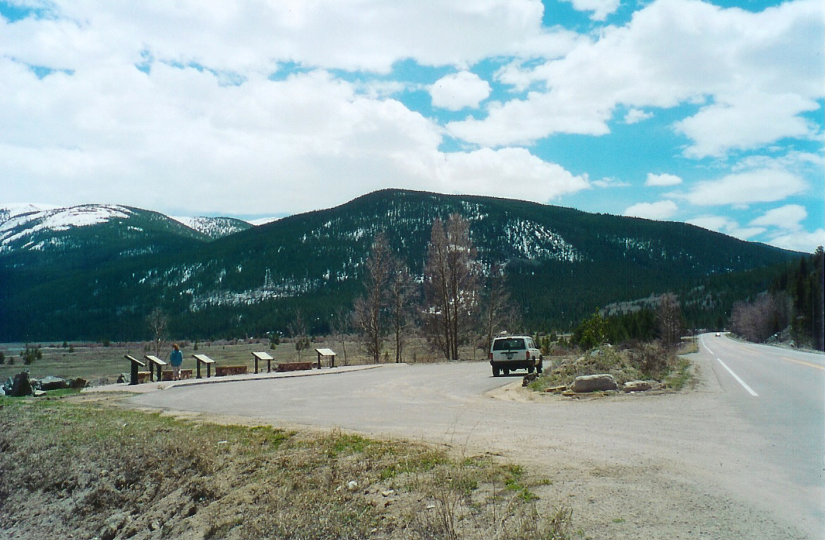
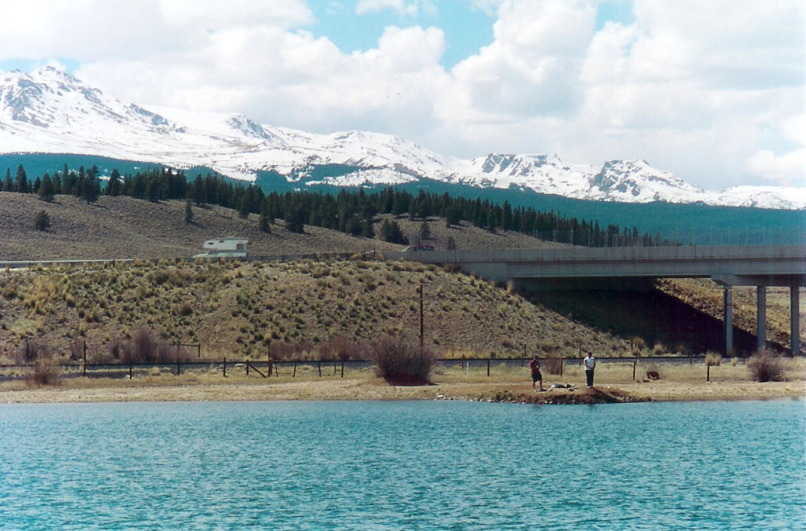
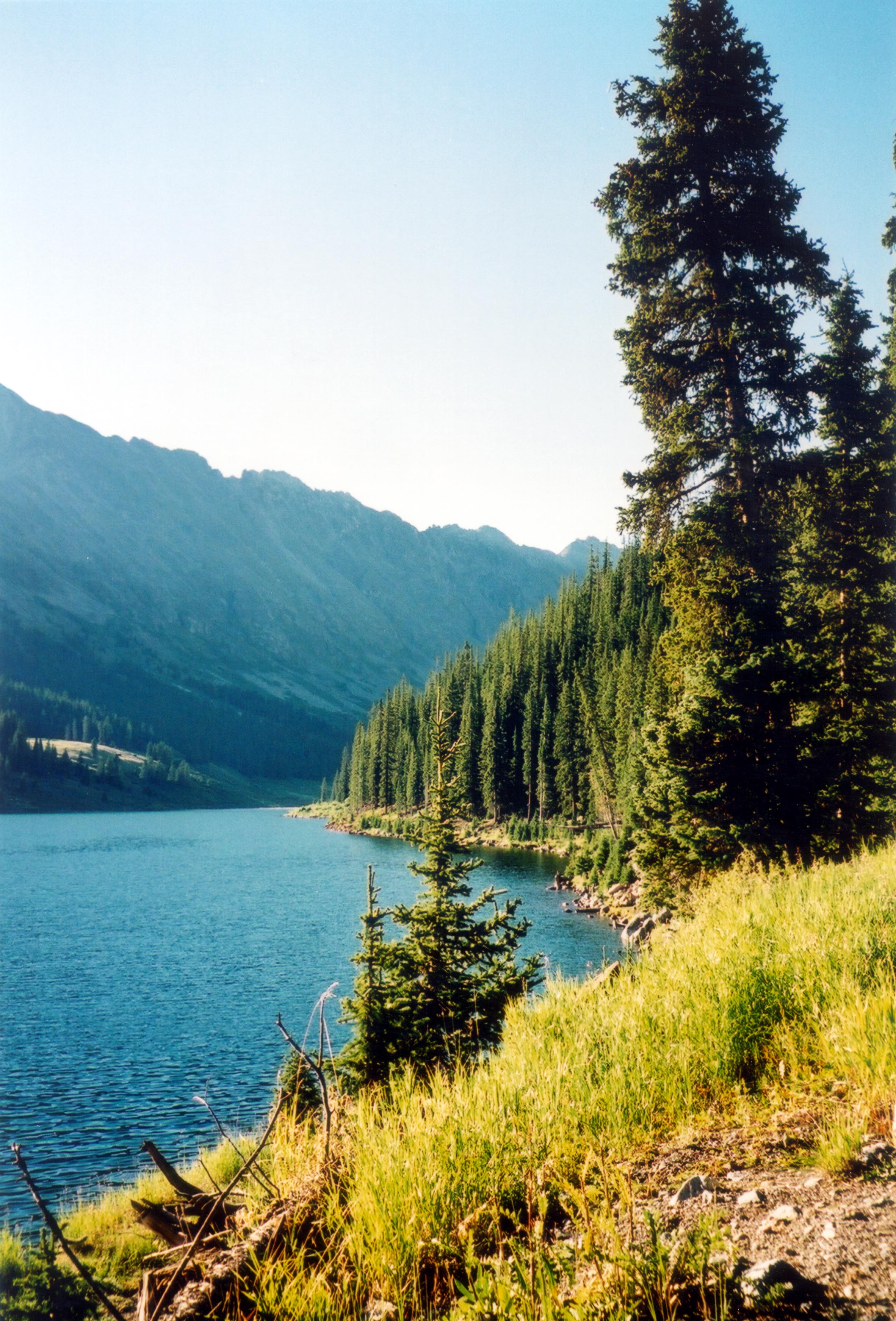
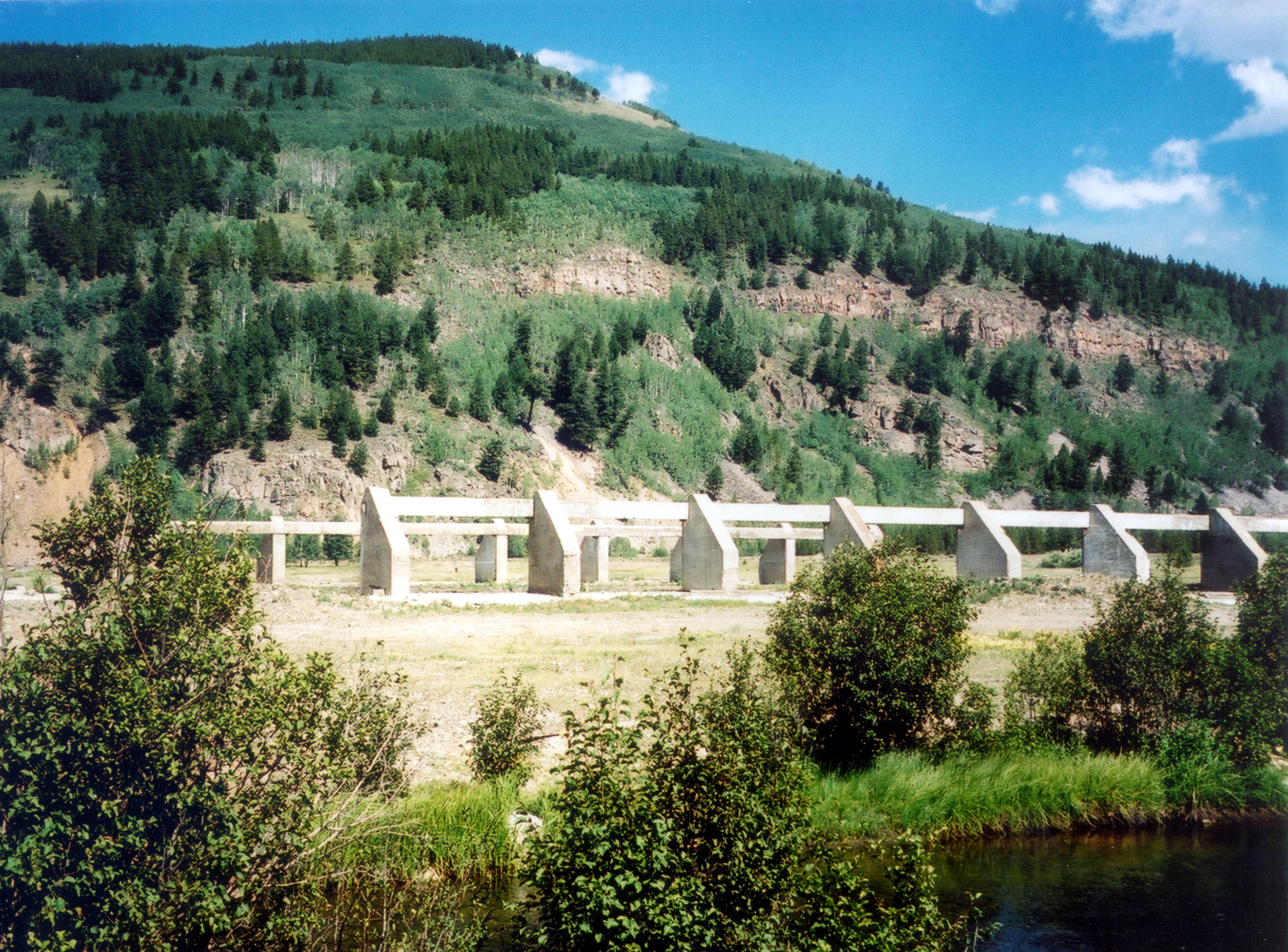
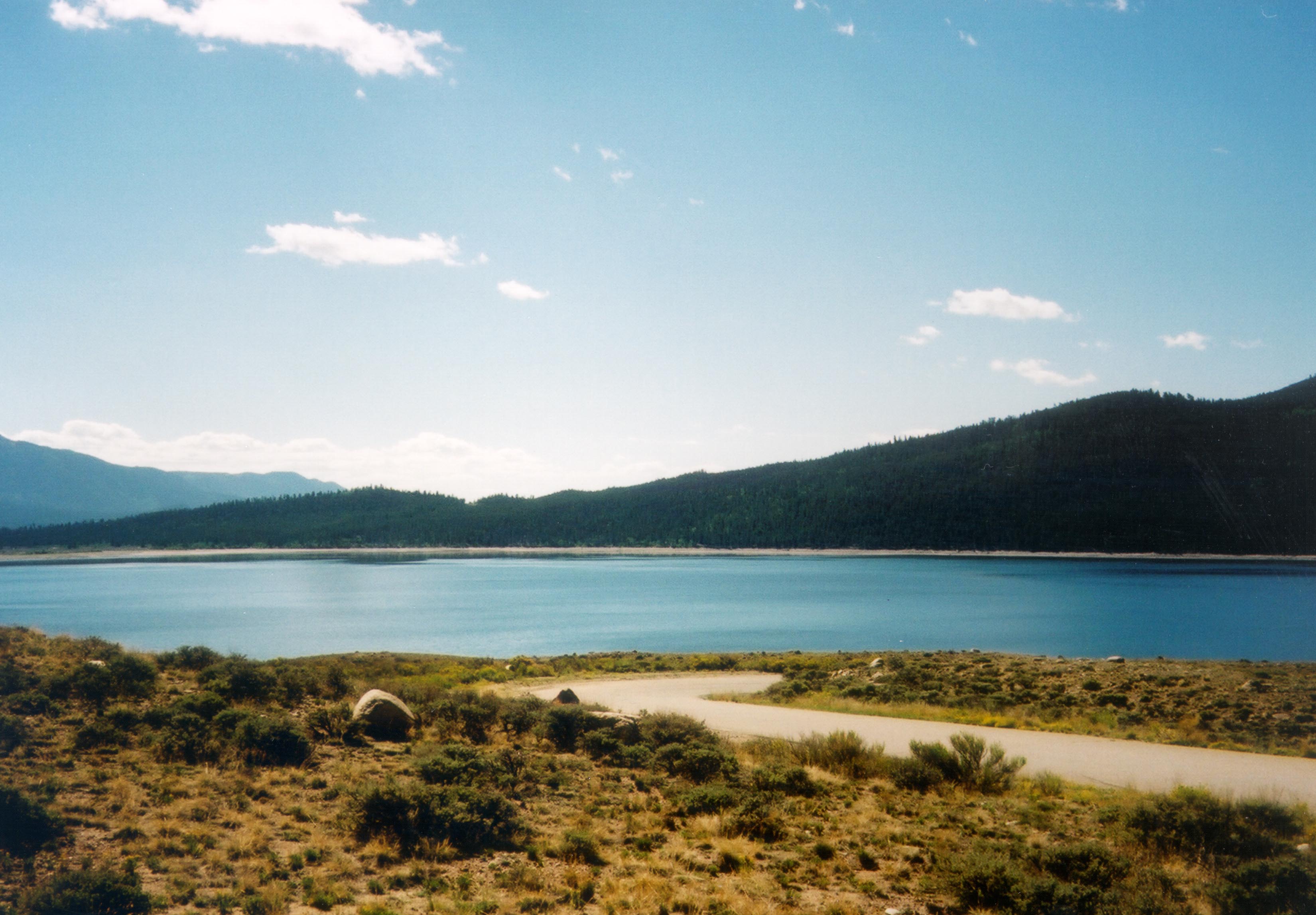
This lake near Camp Hale is only one of the many lakes and reservoirs that dot the area around the byway.
© August 2002 Jenette Purdy.
Download Original (3282 x 2172 pixels, 587.4 KB)
-
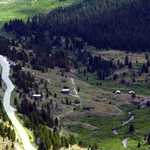
The towns of Kokomo, Recen, and Robinson were established in this valley that is now characterized by mine tailings.
© August 2002 Jenette Purdy.
Download Original (3336 x 2255 pixels, 643.2 KB)
-
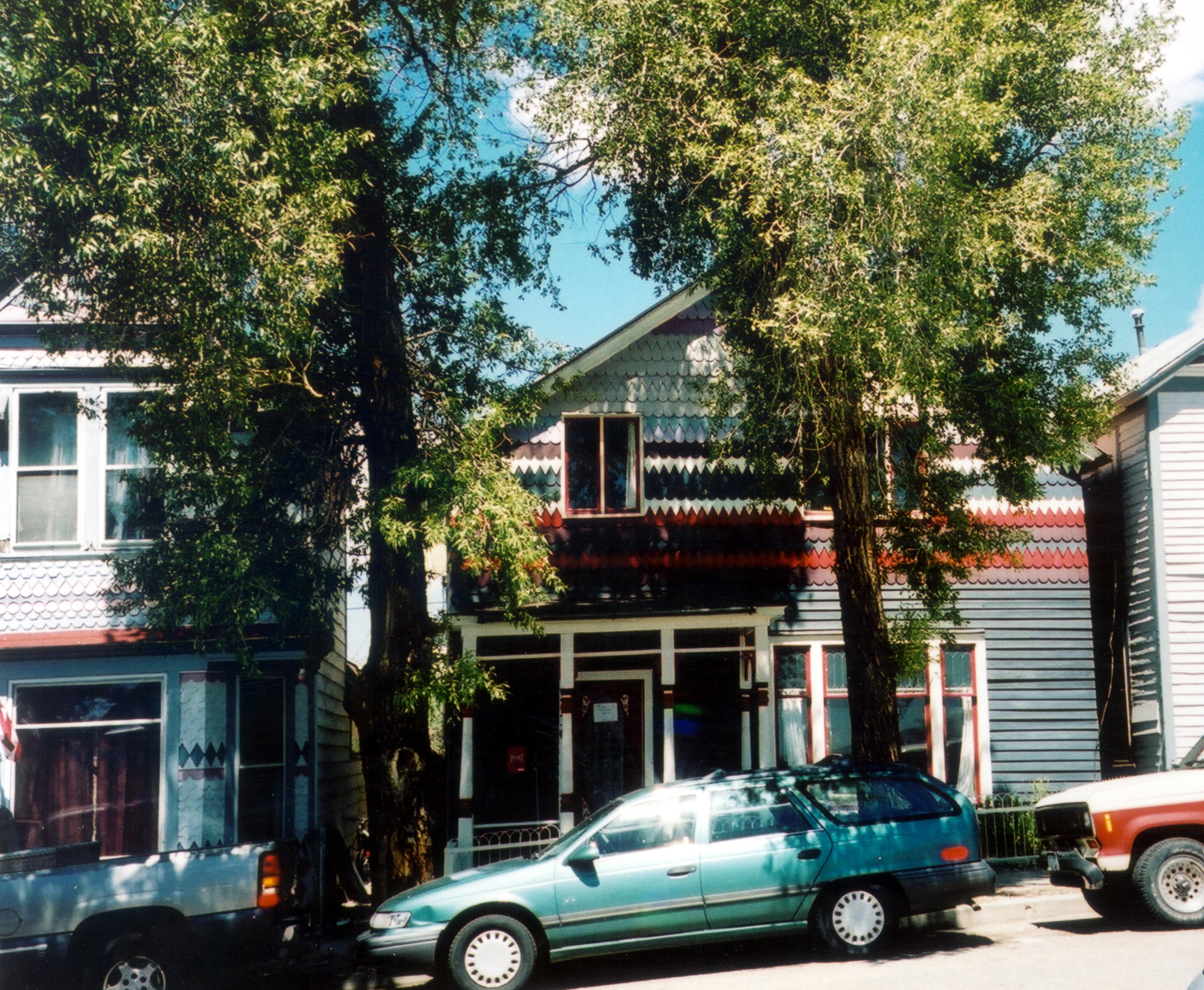
Bright colors and distinct color schemes characterize many of the houses in Leadville.
© August 2002 Jenette Purdy.
Download Original (2712 x 2231 pixels, 876.7 KB)
-
The peaceful banks of the small Clinton Reservoir provide a nice rest stop for the traveler.
© August 2002 Jenette Purdy.
Download Original (2364 x 3485 pixels, 979.7 KB)
-
The Clarion Hotel is one of the finely preserved structures at the Twin Lakes Historic District.
© August 2002 Jenette Purdy.
Download Original (1826 x 1332 pixels, 420.2 KB)
-
Camp Hale was the training ground for the 10th Mountain Division who saw action during WWII in Italy.
© August 2002 Jenette Purdy.
Download Original (3450 x 2309 pixels, 966.2 KB)
-
The field house at Camp Hale was once the gathering place for hundreds of soldiers.
© August 2002 Jenette Purdy.
Download Original (3132 x 2314 pixels, 1064.8 MB)
-
The B-Slope is where the 10th Mountain Division trained for combat.
© August 2002 Jenette Purdy.
Download Original (3551 x 2375 pixels, 686.1 KB)
-
The valley that once housed thousands of soldiers now accommodates a few campers and picnickers.
© August 2002 National Scenic Byways Online.
Download Original (3539 x 2355 pixels, 947.5 KB)
-
The Annunciation Church stands on the corner of this quaint Leadville street.
© August 2002 Jenette Purdy.
Download Original (3522 x 1943 pixels, 653.6 KB)
-

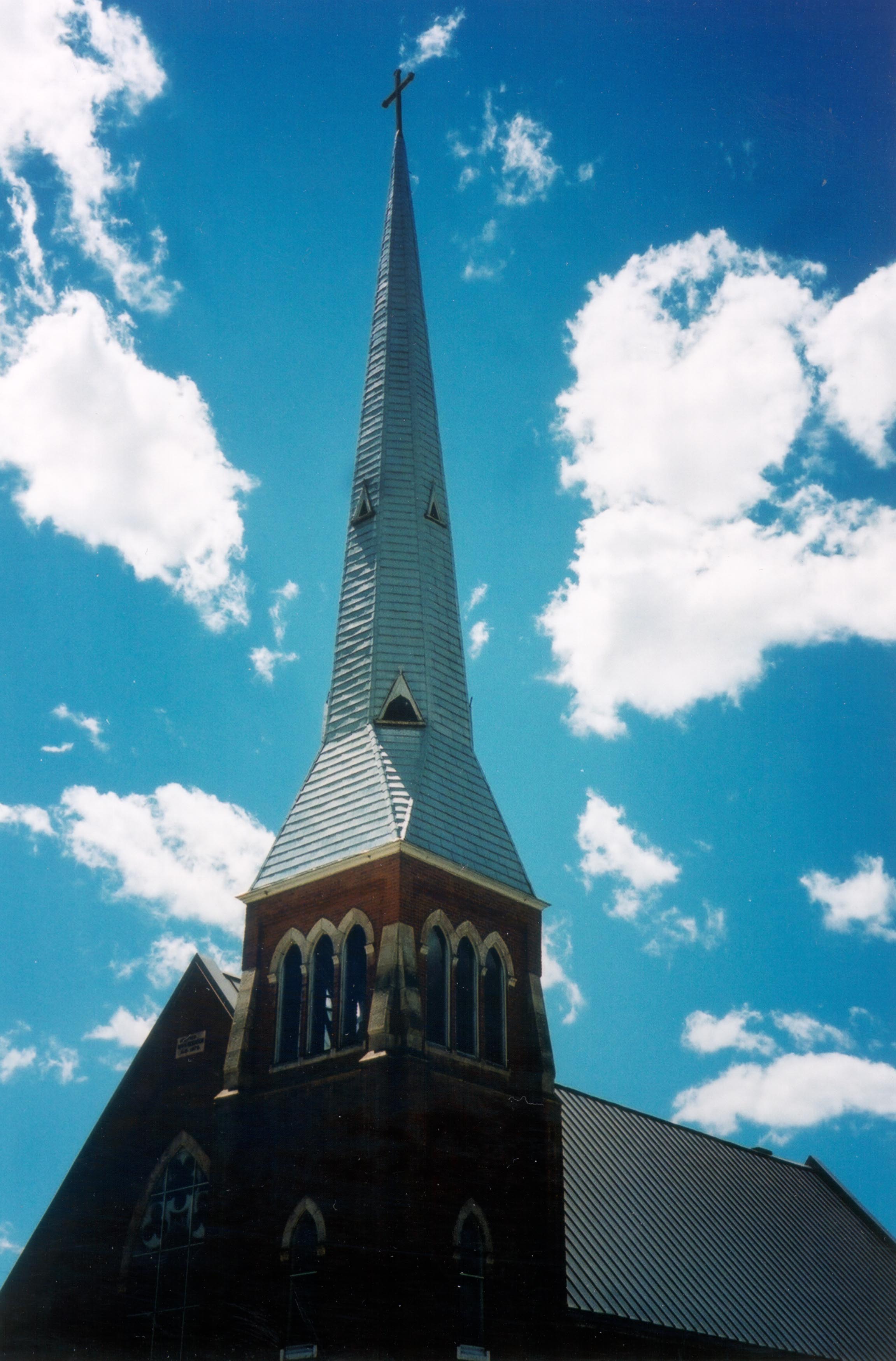
The Annunciation Church spire, a landmark of Leadville, points sharply into a rich azure sky spotted with puffy clouds.
© August 2002 Jenette Purdy.
Download Original (2303 x 3498 pixels, 597.0 KB)
-
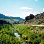
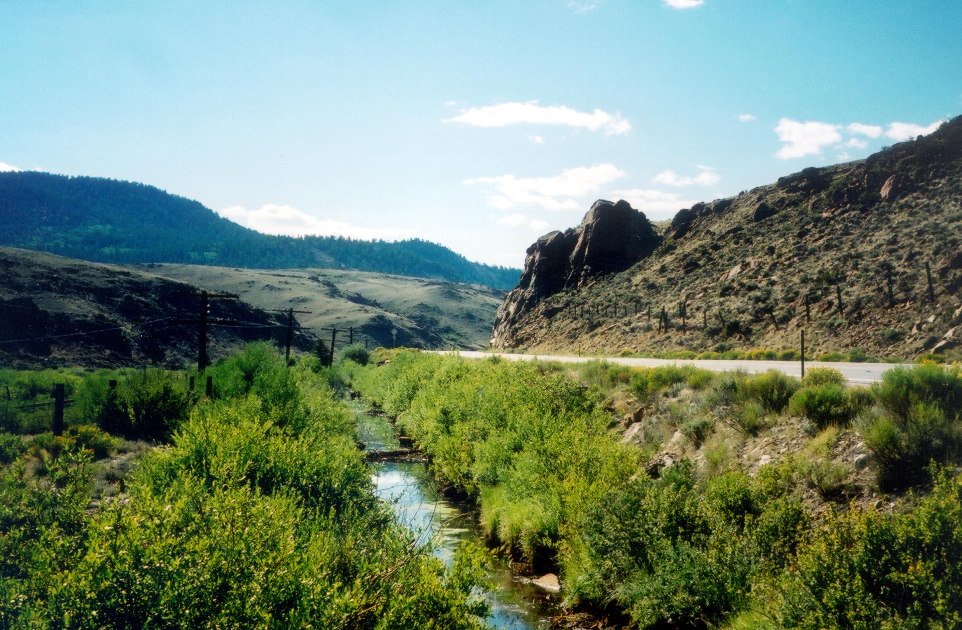
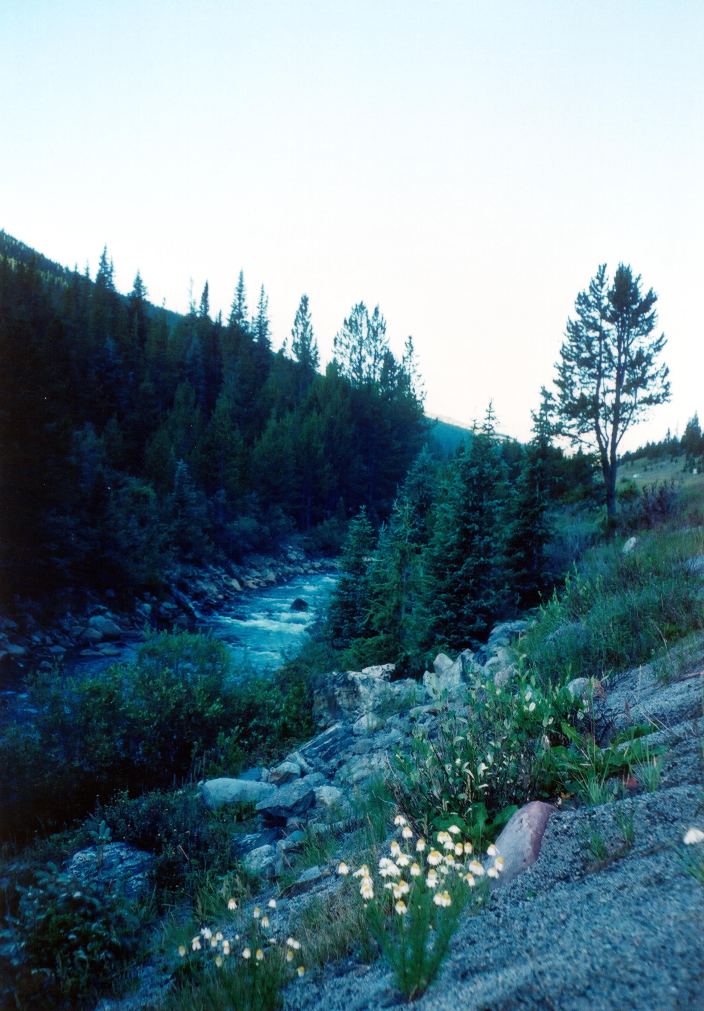
Wildflowers grace this roadside stream located along SR 91.
© September 2002 Jenette Purdy.
Download Original (2336 x 3357 pixels, 702.2 KB)
-
The Red Rooster Tavern in the Twin Lakes Historic District was known as being "a place of ill repute."
© September 2002 Jenette Purdy.
Download Original (3060 x 2092 pixels, 668.2 KB)
-
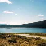
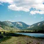
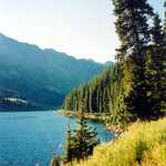
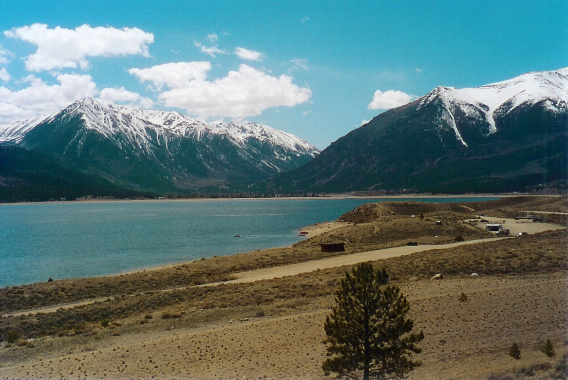
Twin Lakes, located along SR 82, lies under a vast blue sky on a sunny day.
© September 2002 Jenette Purdy.
Download Original (3300 x 2295 pixels, 591.2 KB)
-
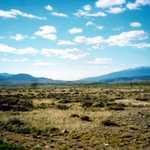
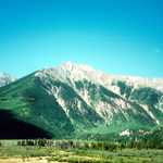
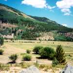
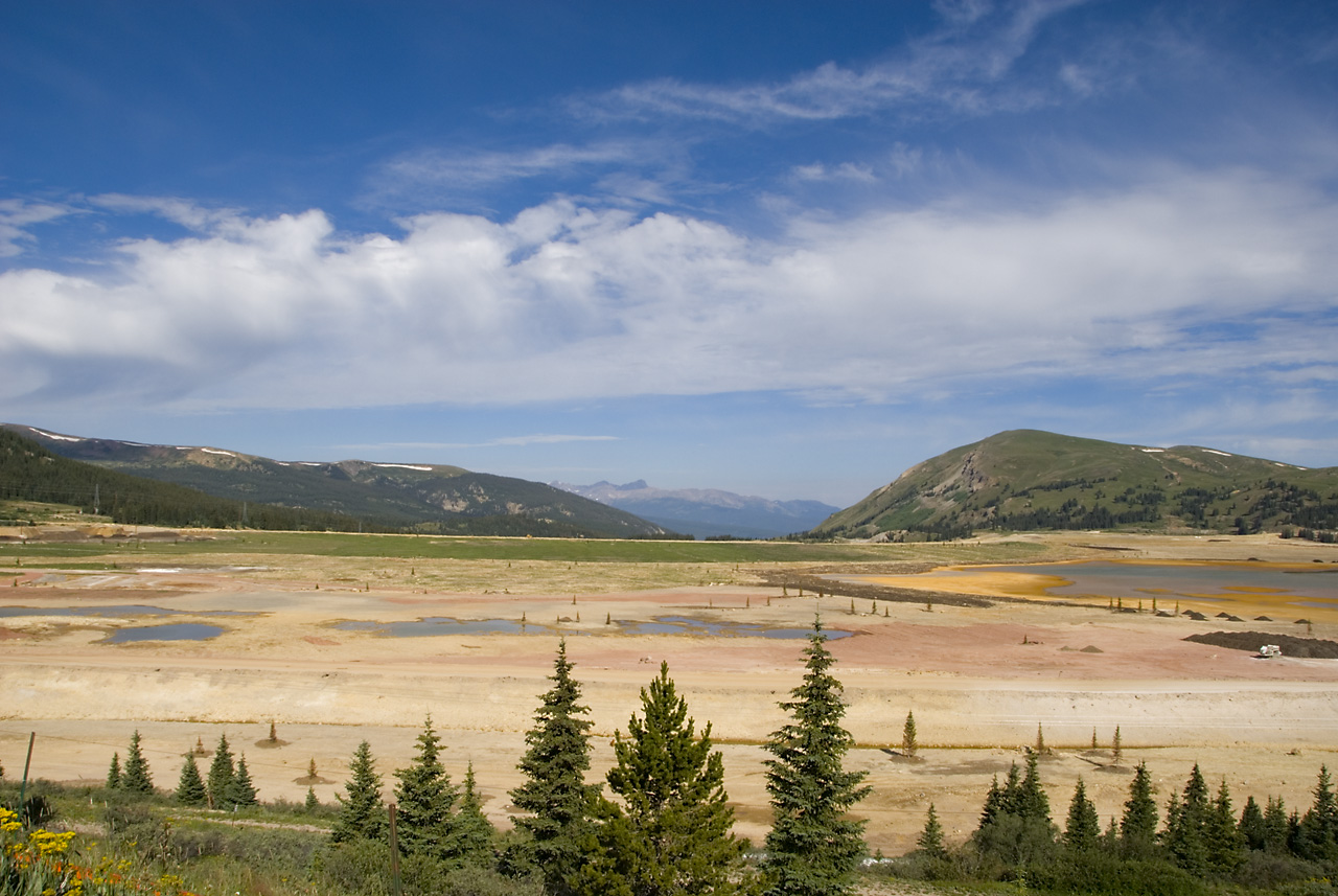
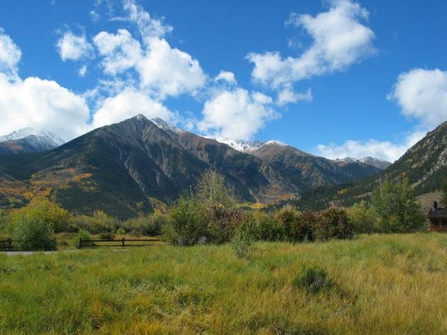
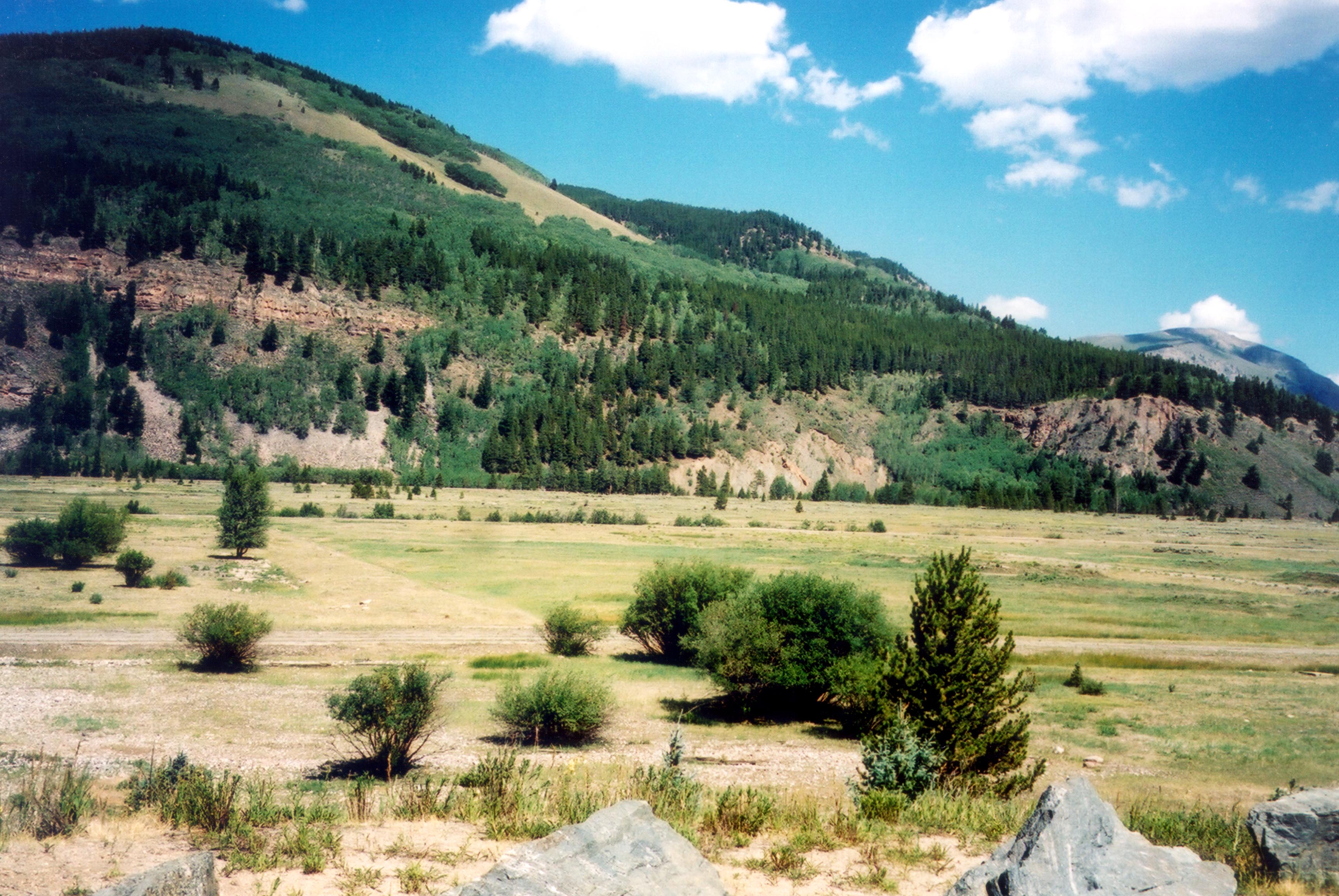
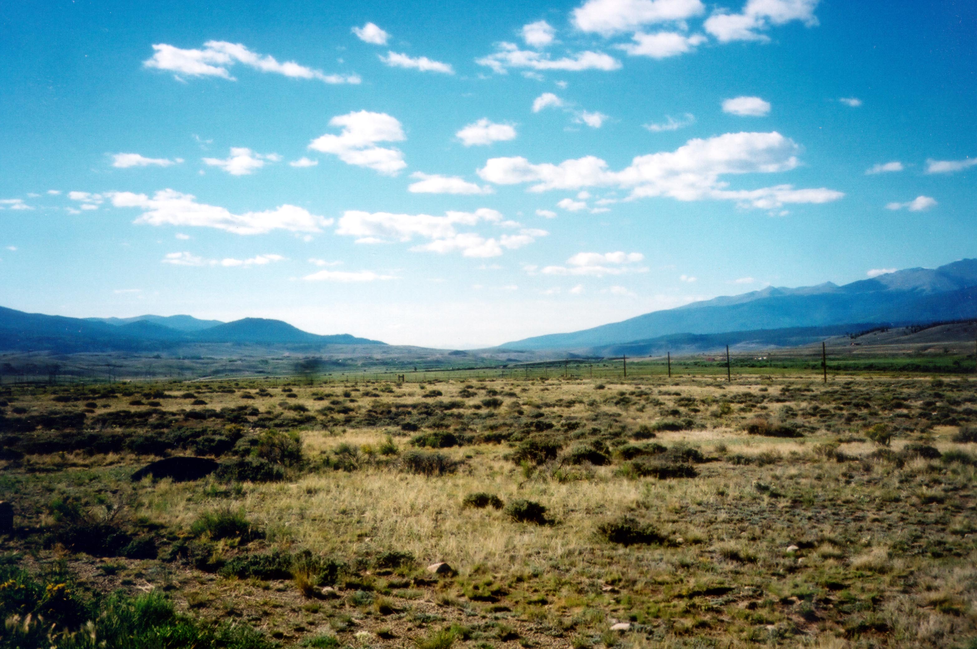
The open valley outside of Leadville is flanked by the Sawatch Mountain Range on the west.
© September 2002 Jenette Purdy.
Download Original (3132 x 2082 pixels, 660.0 KB)
-
US 24 from Leadville leads the traveler over the top of the Rockies.
© September 2002 Jenette Purdy.
Download Original (3414 x 2301 pixels, 692.8 KB)
-
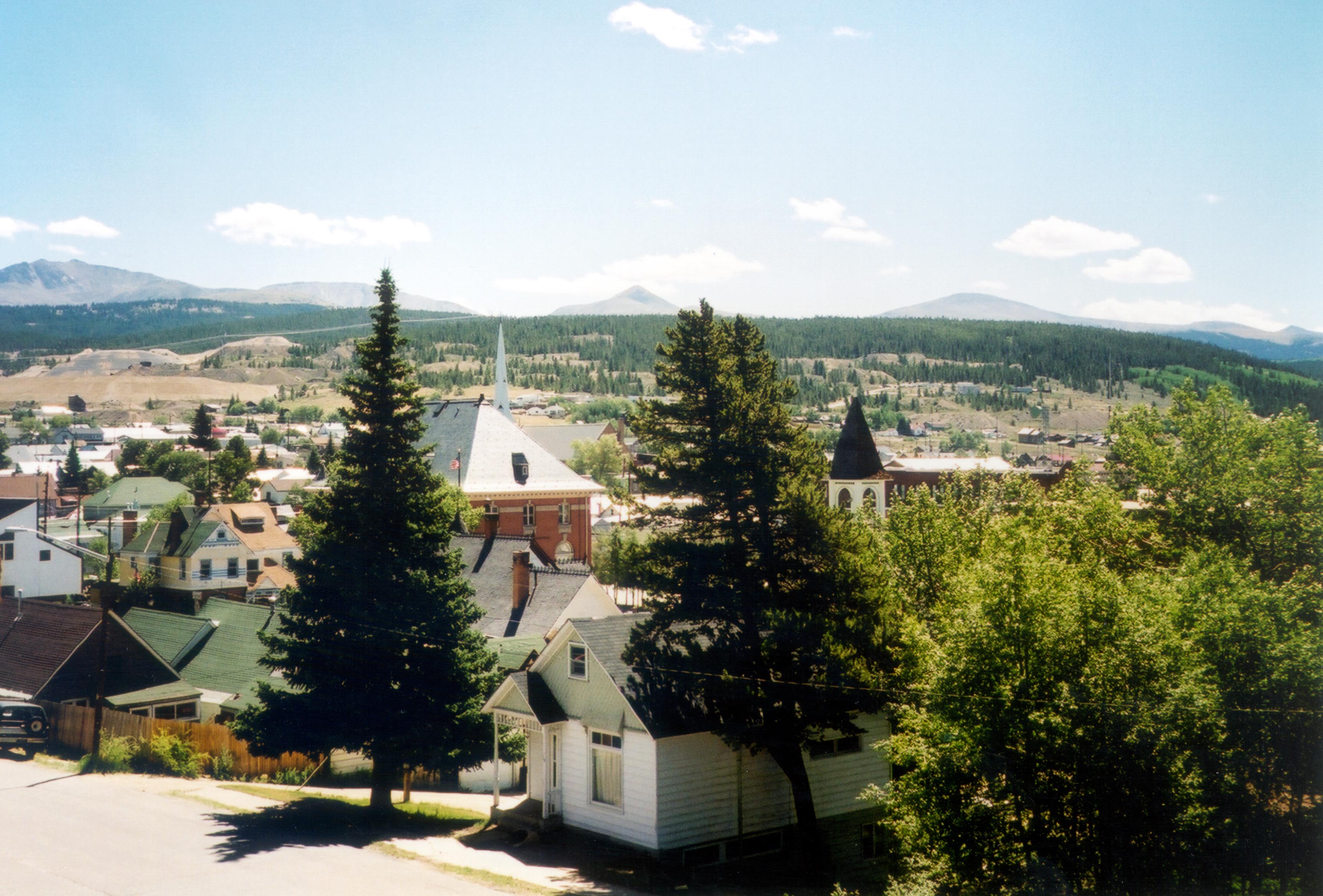
From the National Mining Hall of Fame and Museum, you can look over the rooftops of Leadville.
Public Domain. Photo by Jenette Purdy
Download Original (3453 x 2339 pixels, 762.9 KB)
-
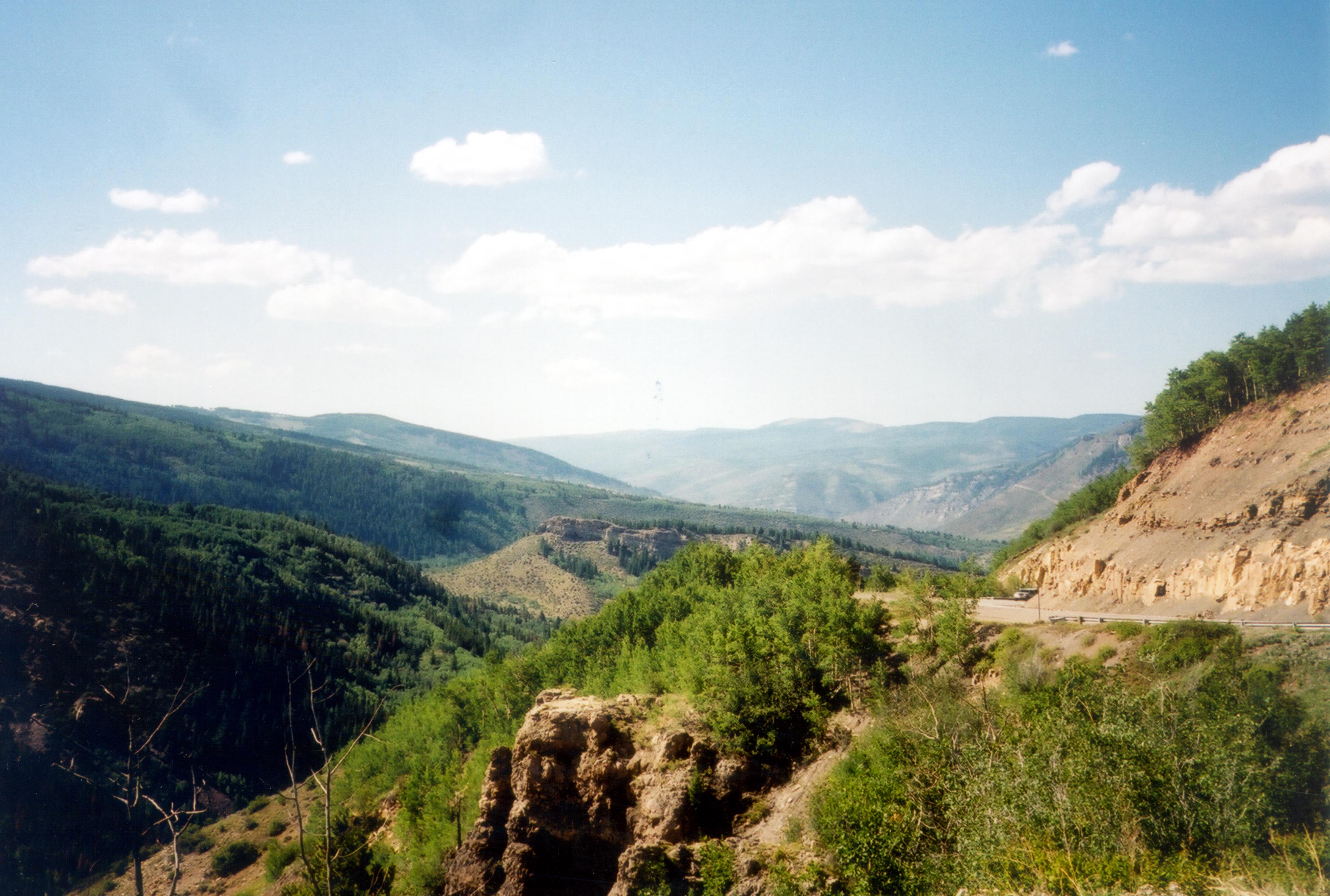
Bright white clouds cast shadows over a valley filled with lush greenery in the Colorado Rockies along US Highway 24.
Public Domain. Photo by Jenette Purdy
Download Original (2379 x 3459 pixels, 631.6 KB)
-
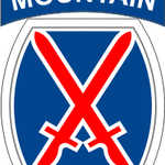
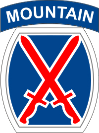
This is a representation of the badge used by the United States Army mountain soldiers of the historic 10th Mountain Division.
 © June 2009 Tumbleweed:-).
Download Original (200 x 268 pixels, 106.1 KB)
-
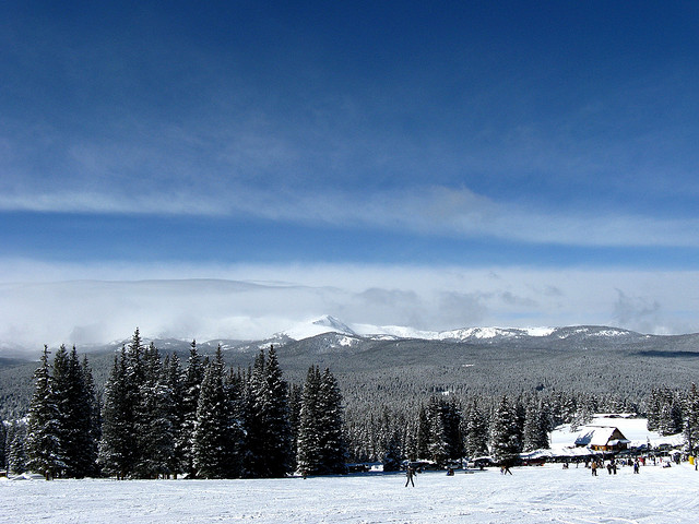
A blue sky and a beautiful pine forest greets visitors to the Ski Cooper Resort in Colorado.
 © December 2008 Checkered and aMUSEd of flickr.com.
Download Original (640 x 480 pixels, 98.3 KB)