
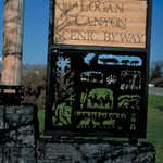
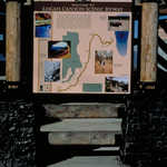
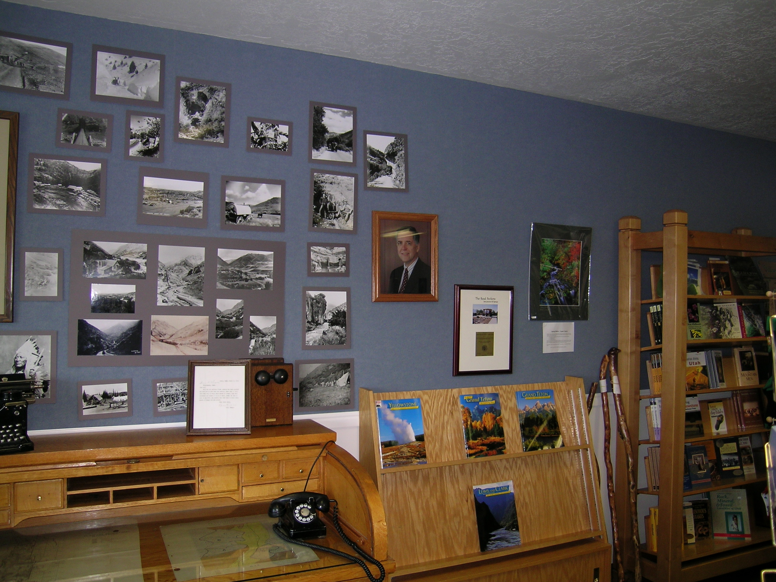
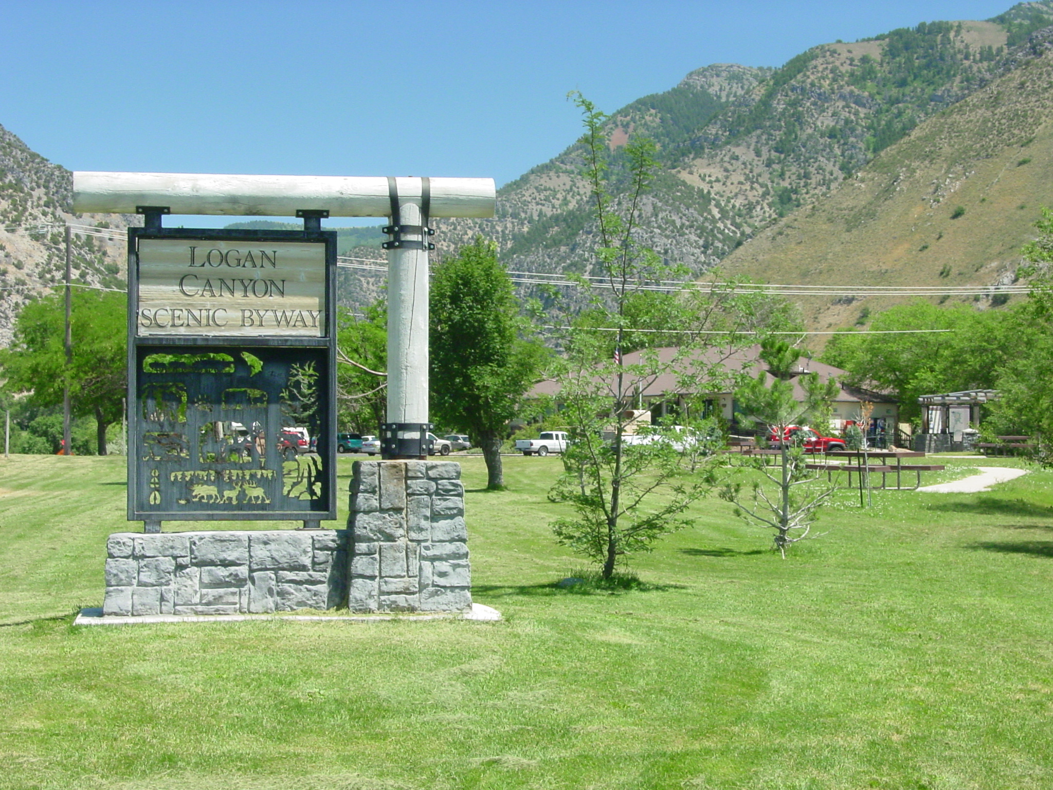
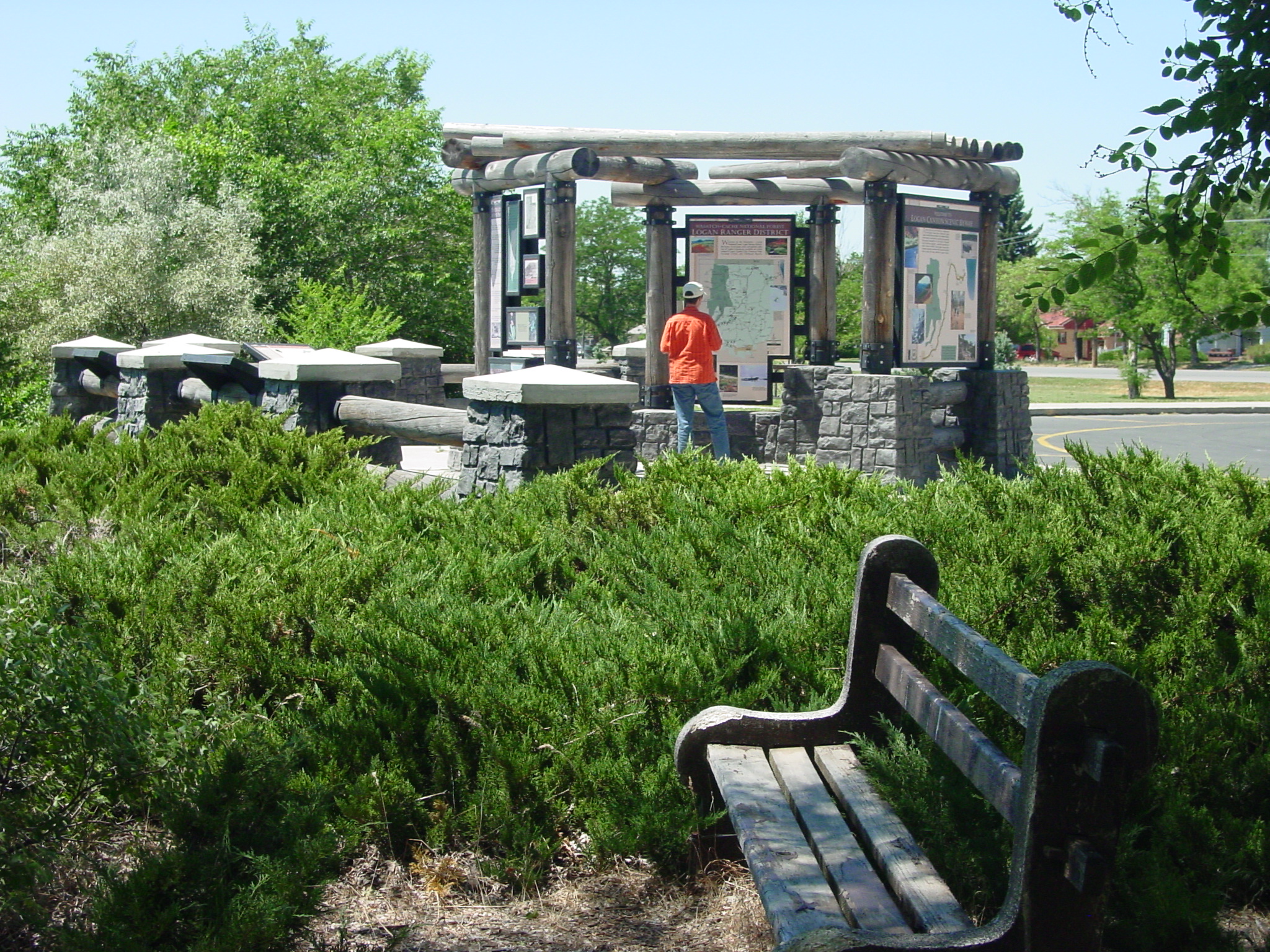
Logan Canyon Scenic Byway
All Photos (295)
-
-
-
-
-
-
-
-
-
-
-
-
-
-
-
-
-
-
-
-
-
-
-
-
-
-
-
-
-
-
-
-
-
-
-
-
-
-
-
-
-
-
-
-
-
-
-
-
-
-
-
-
-
-
-
-
-
-
-
-
-
-
-
-
-
-
-
-
-
-
-
-
-
-
-
-
-
-
-
-
-
-
-
-
-
-
-
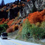
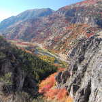
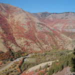
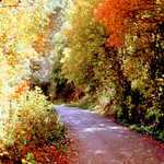
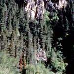
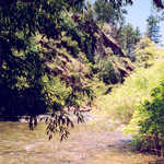
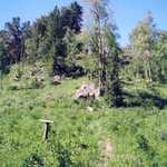
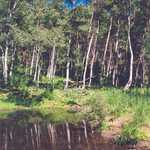
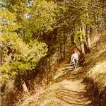
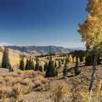
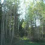
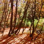
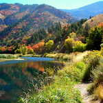
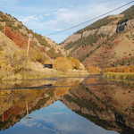
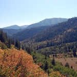
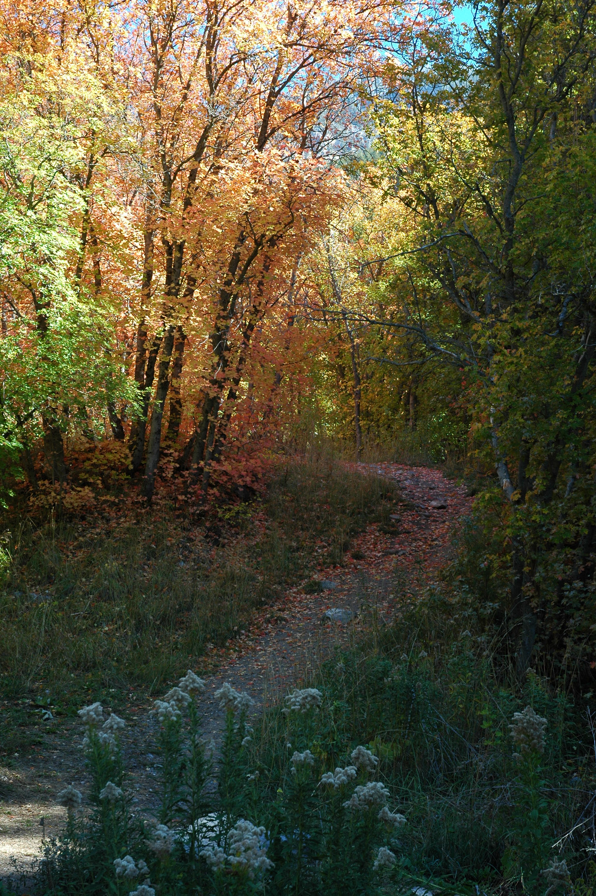
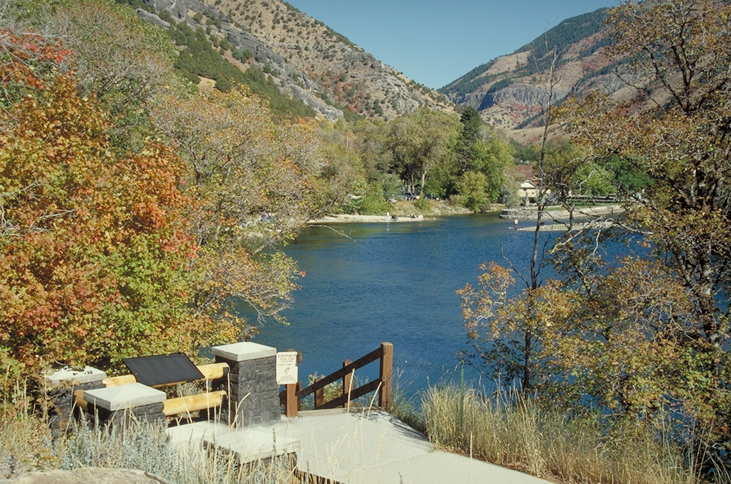
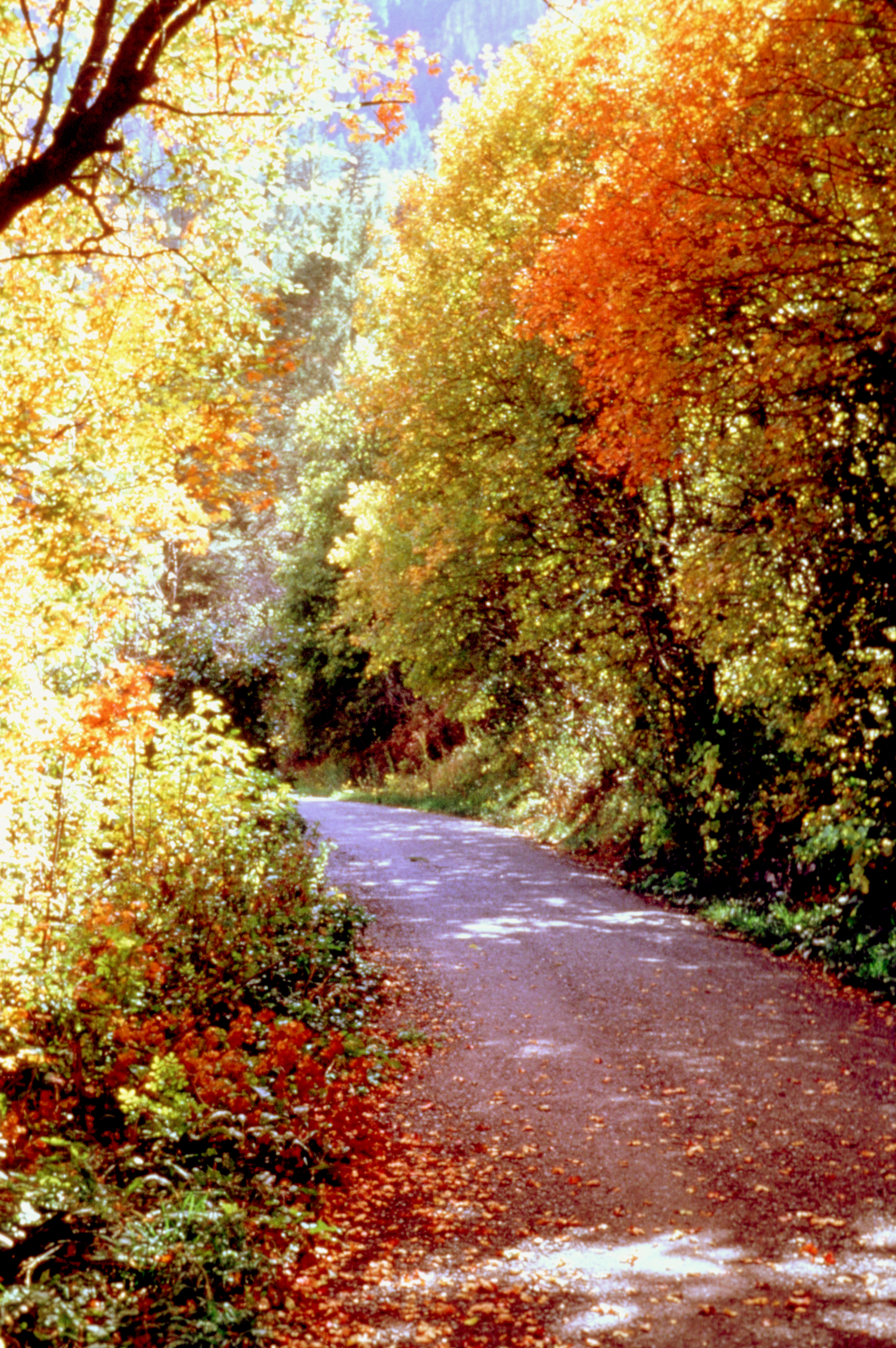
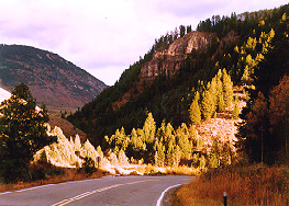
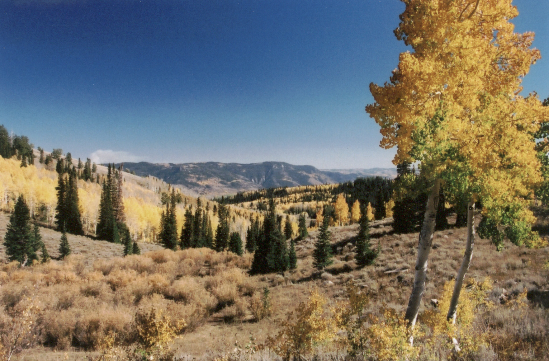
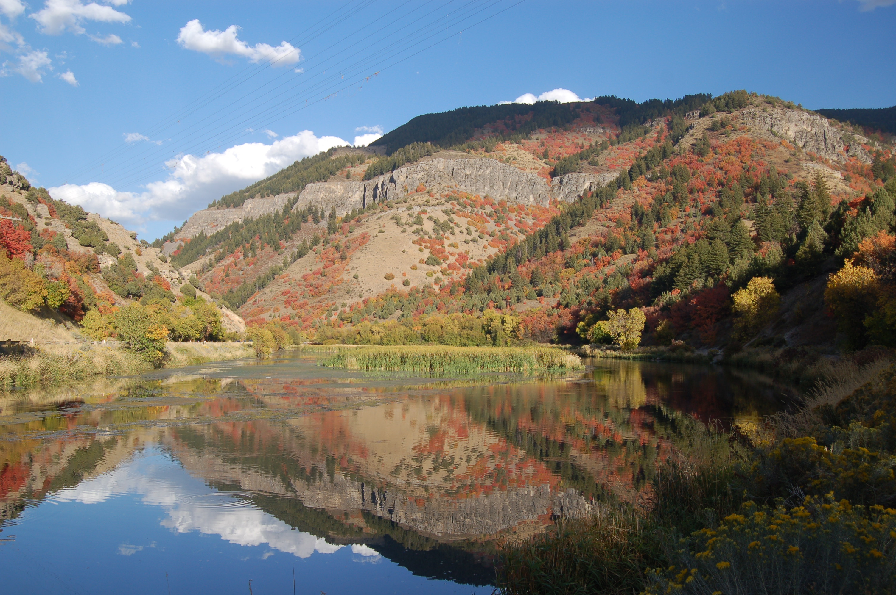
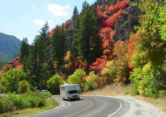
Logan Canyon Scenic Byway winds past golden aspen in the Middle Sinks area.
 © 1998 J. Crane.
Download Original (365 x 246 pixels, 263.5 KB)
-
-
-
-
-
-
-
-
-
-
-
-
-
-
-
-
-
-
-
-
-
-
-
-
-
-
-
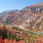
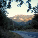
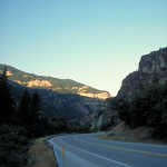
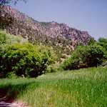
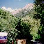
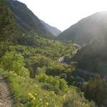
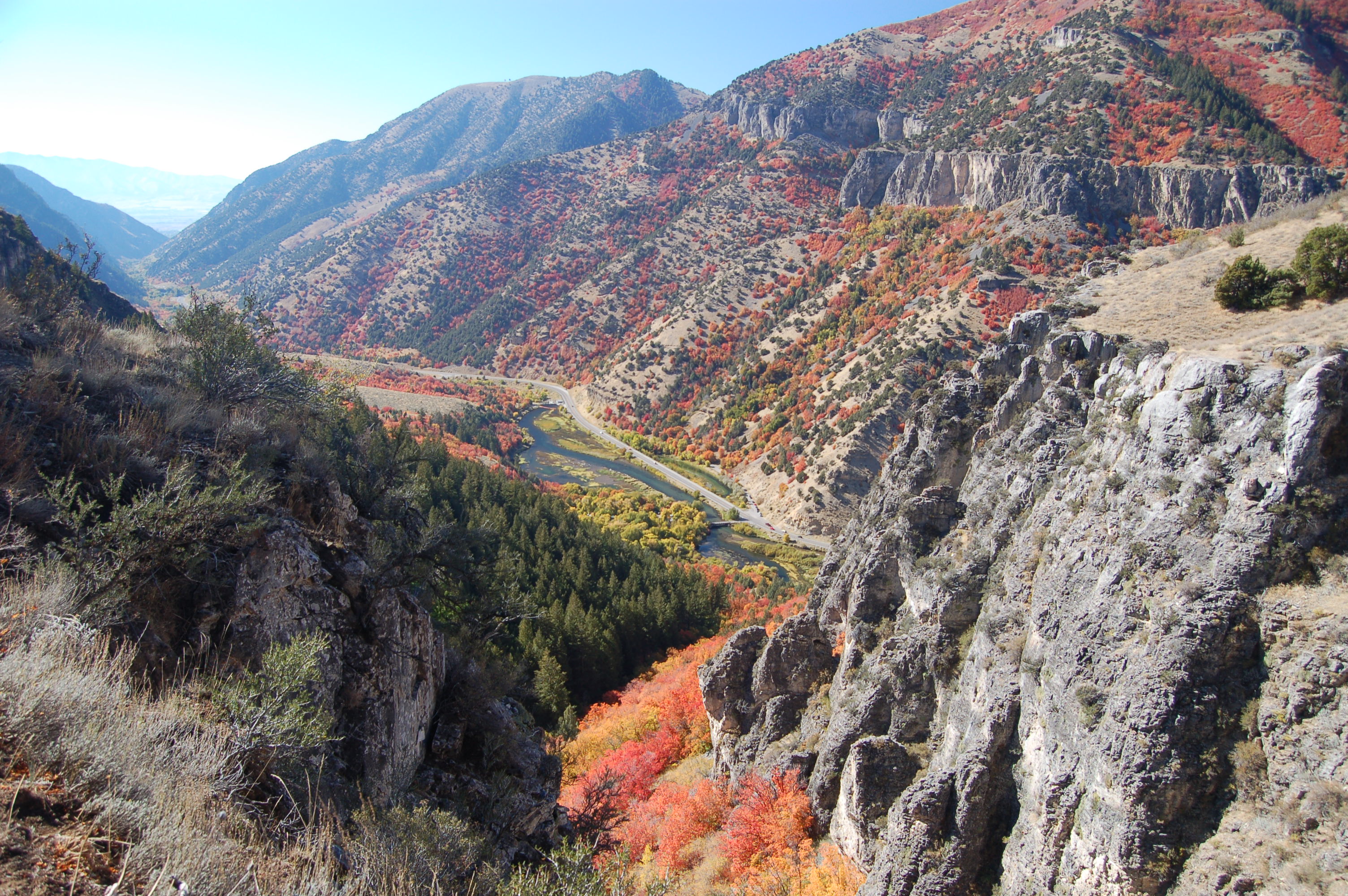
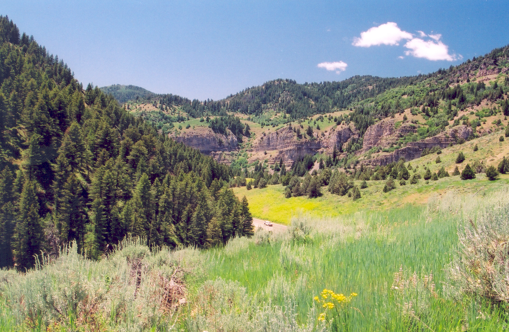
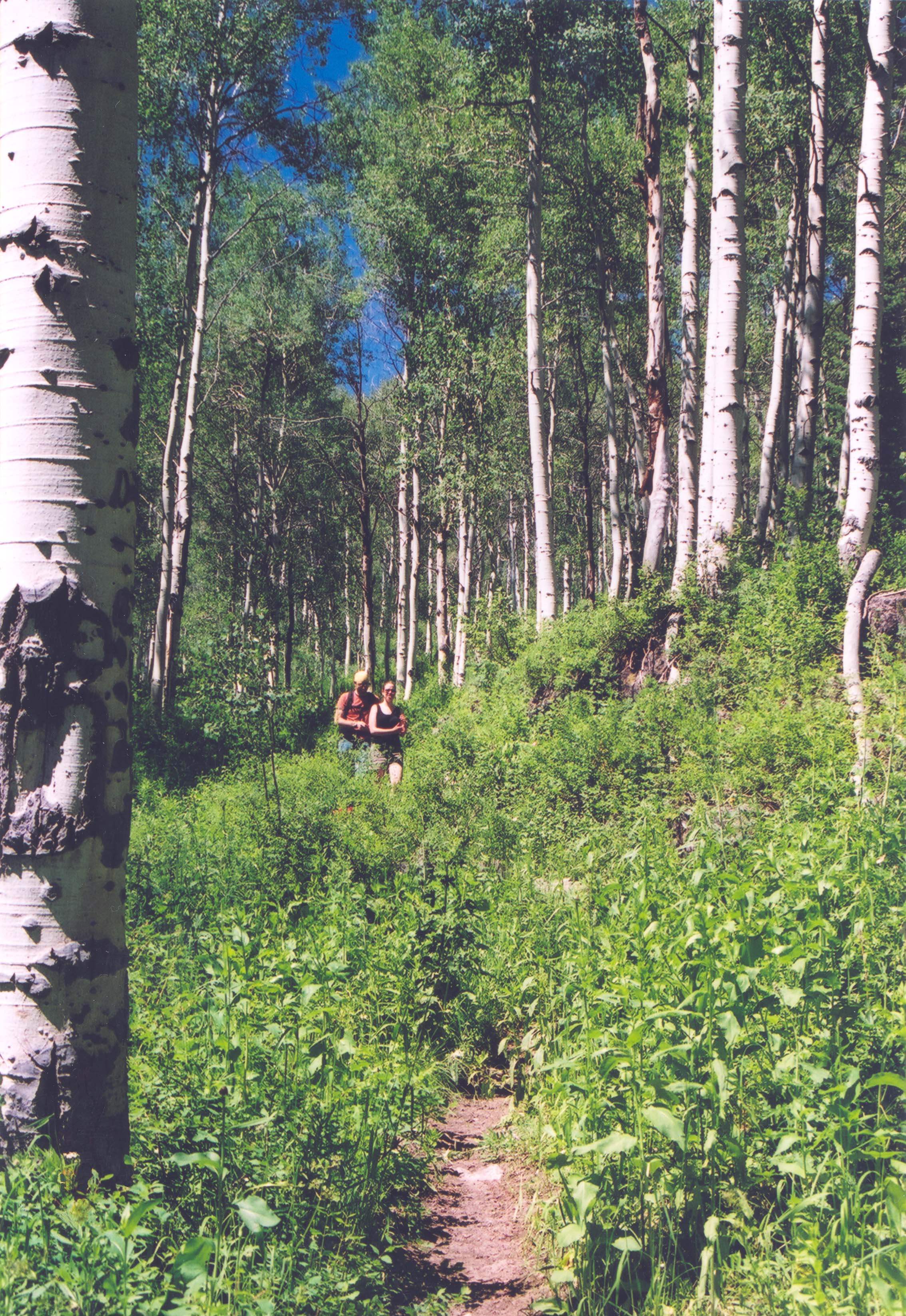
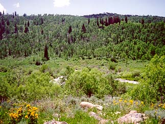
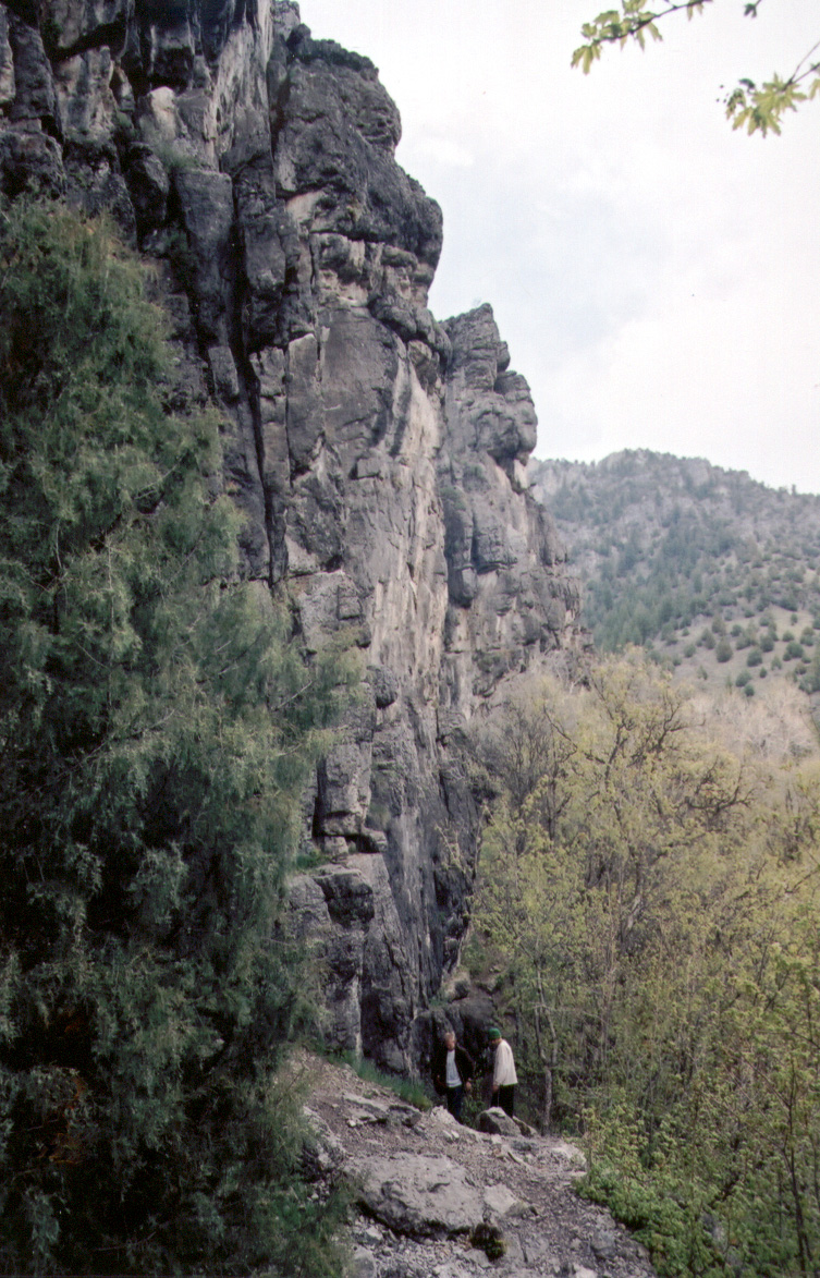
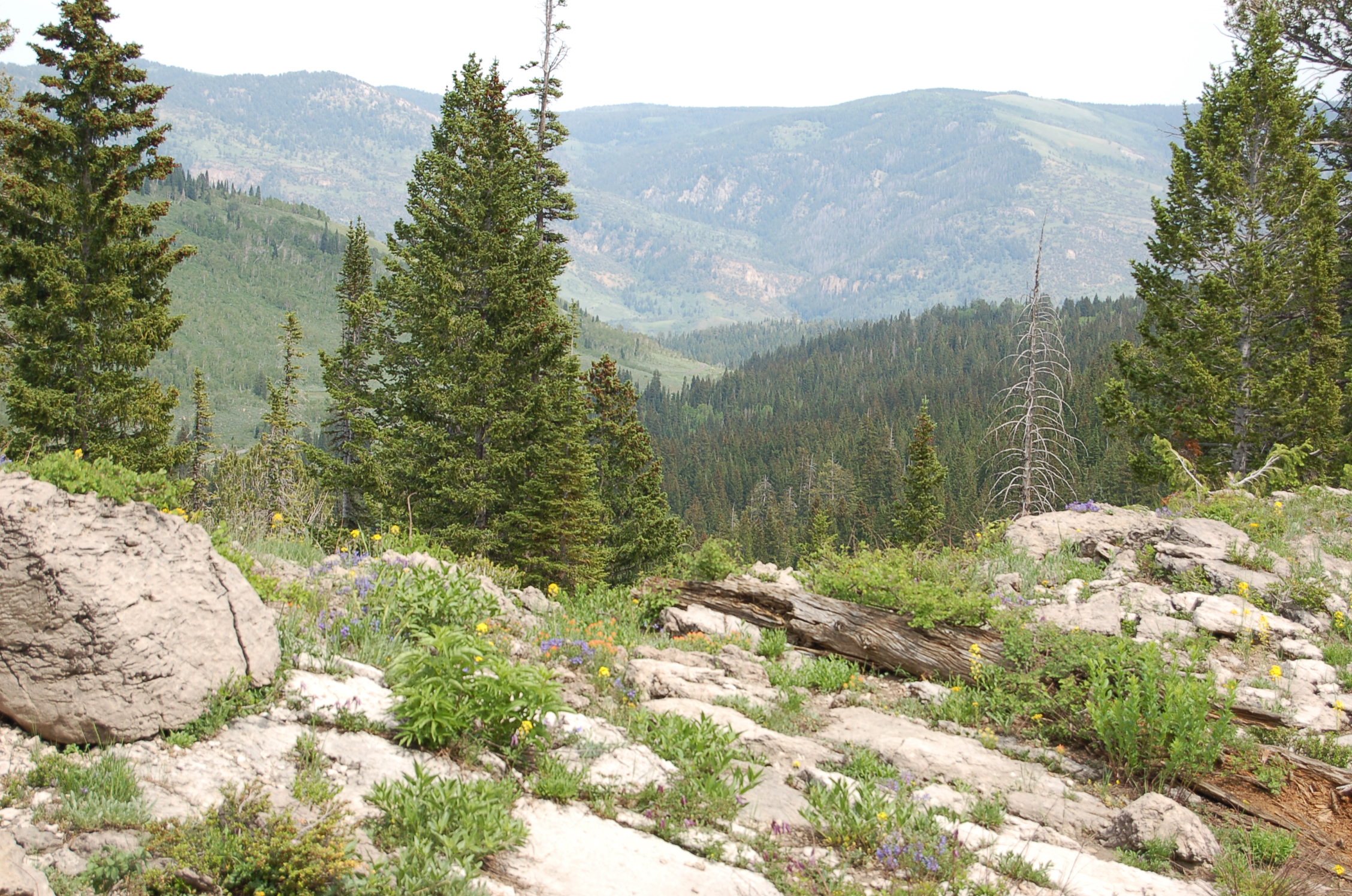
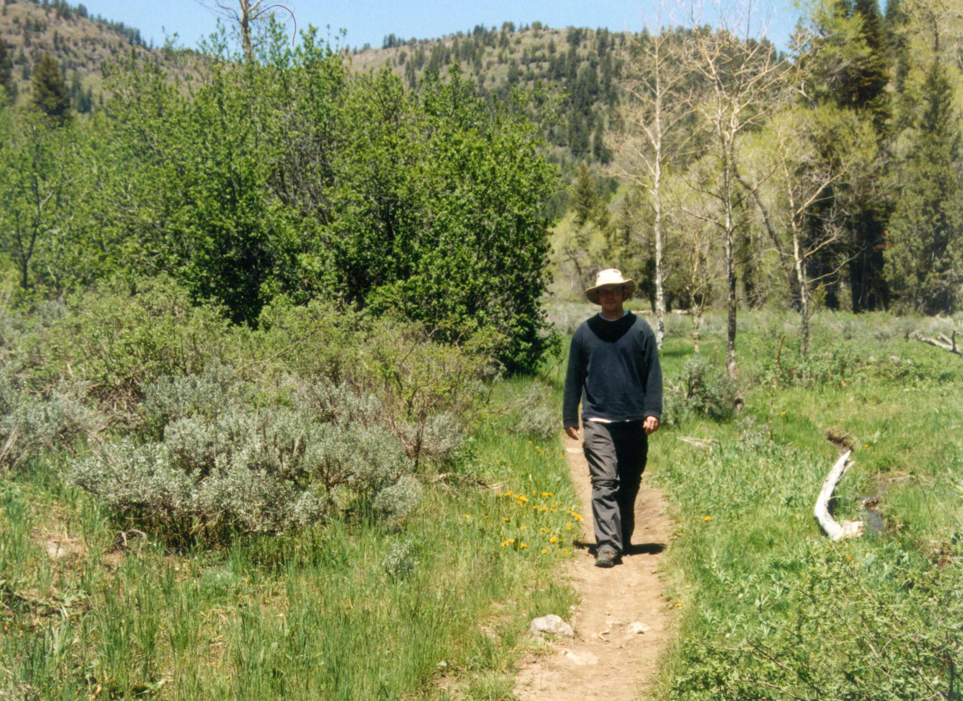
The view down Logan Canyon at the start of Blind Hollow Trail is breathtaking in June.
© June 2004 A. E. Crane.
Download Original (1757 x 1146 pixels, 2856.9 MB)
-
-
-
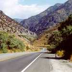
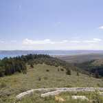
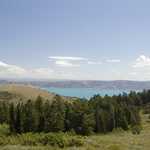
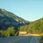
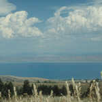
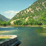
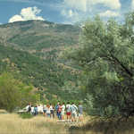
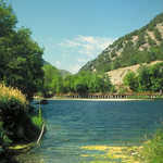
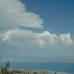
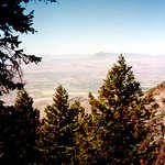
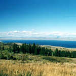
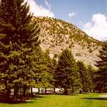
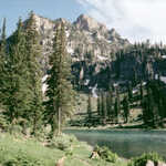
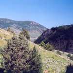
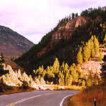
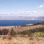
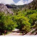
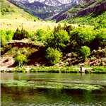
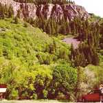
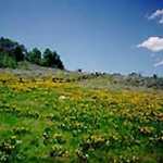
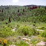
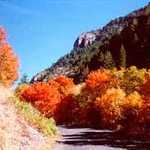
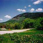
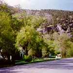
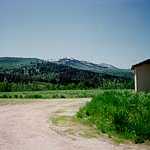
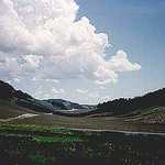
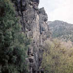
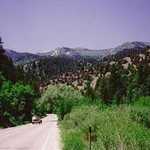
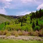
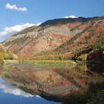
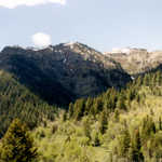
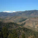
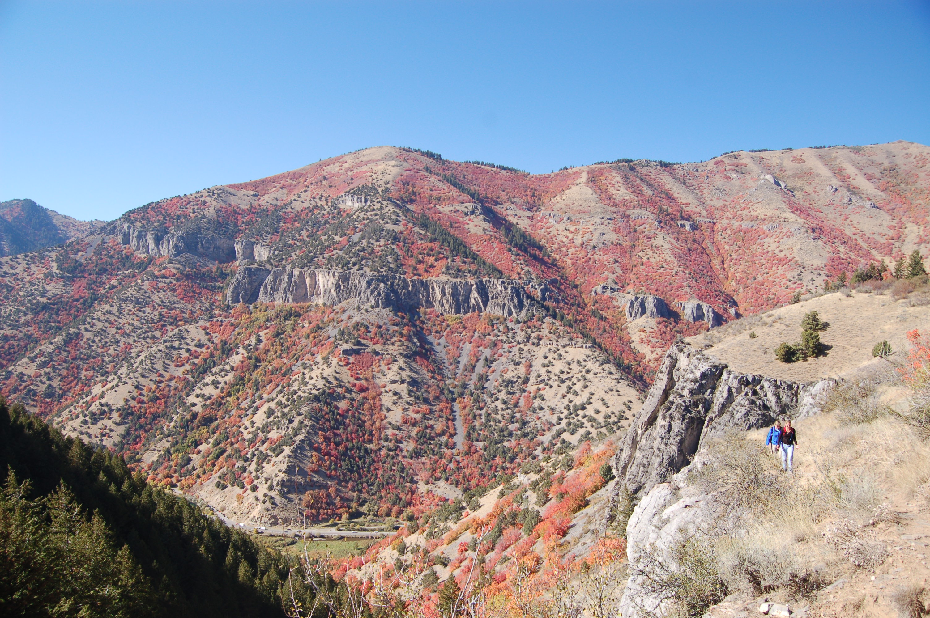
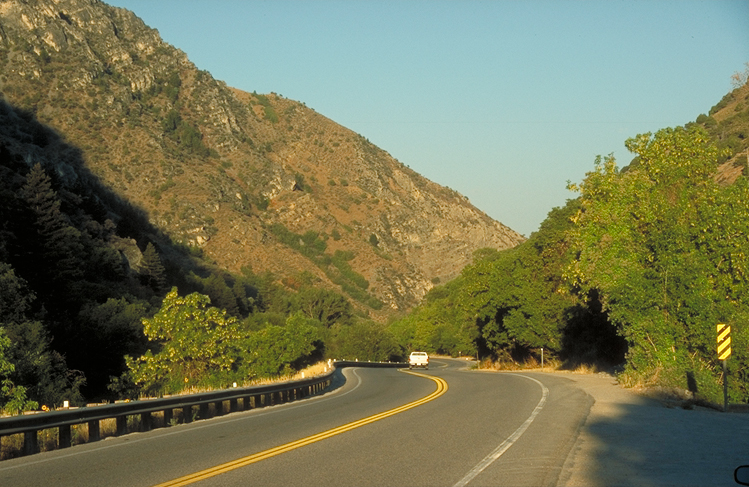
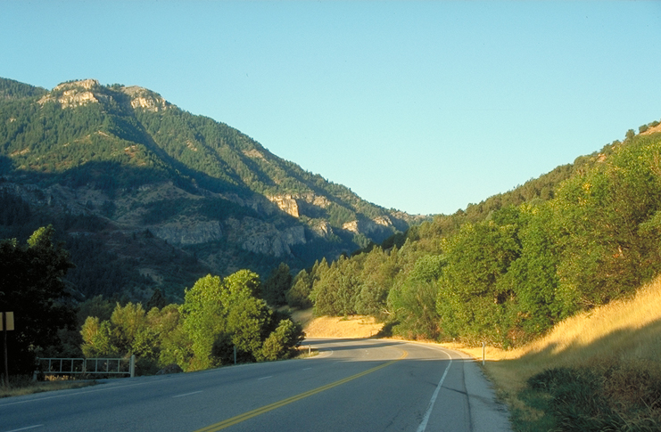
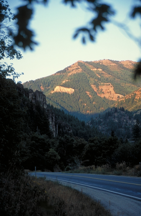
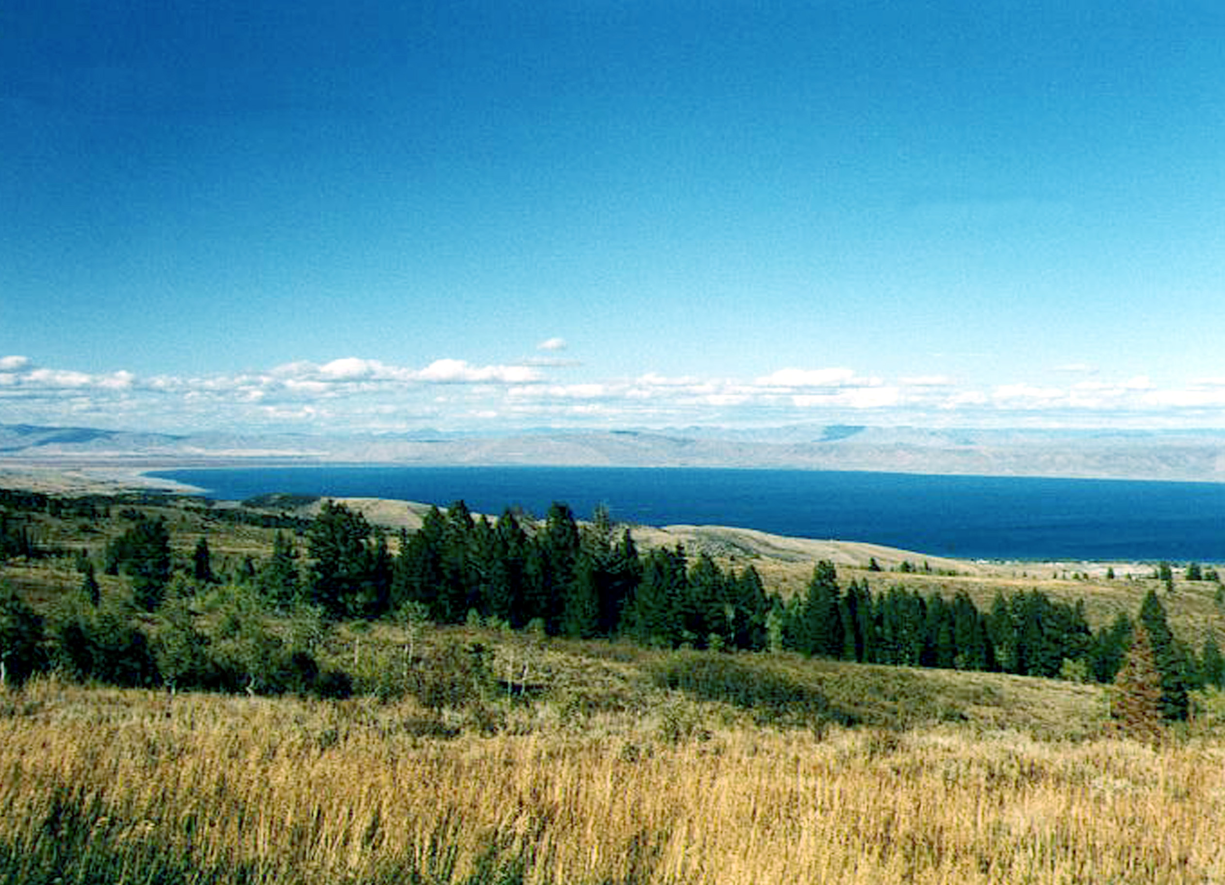
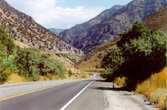
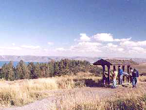
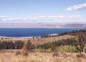
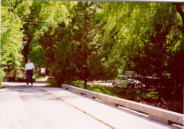
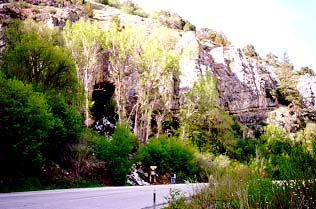
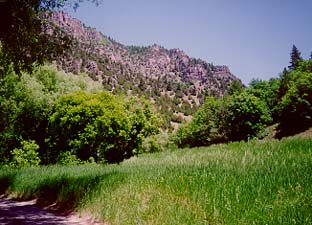
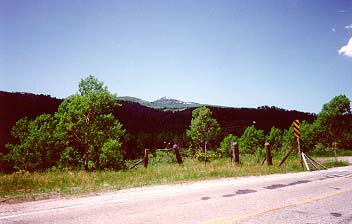
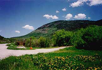
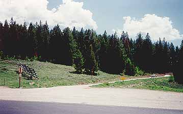
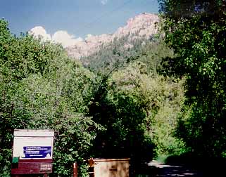
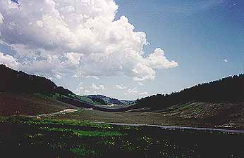
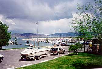
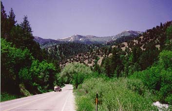
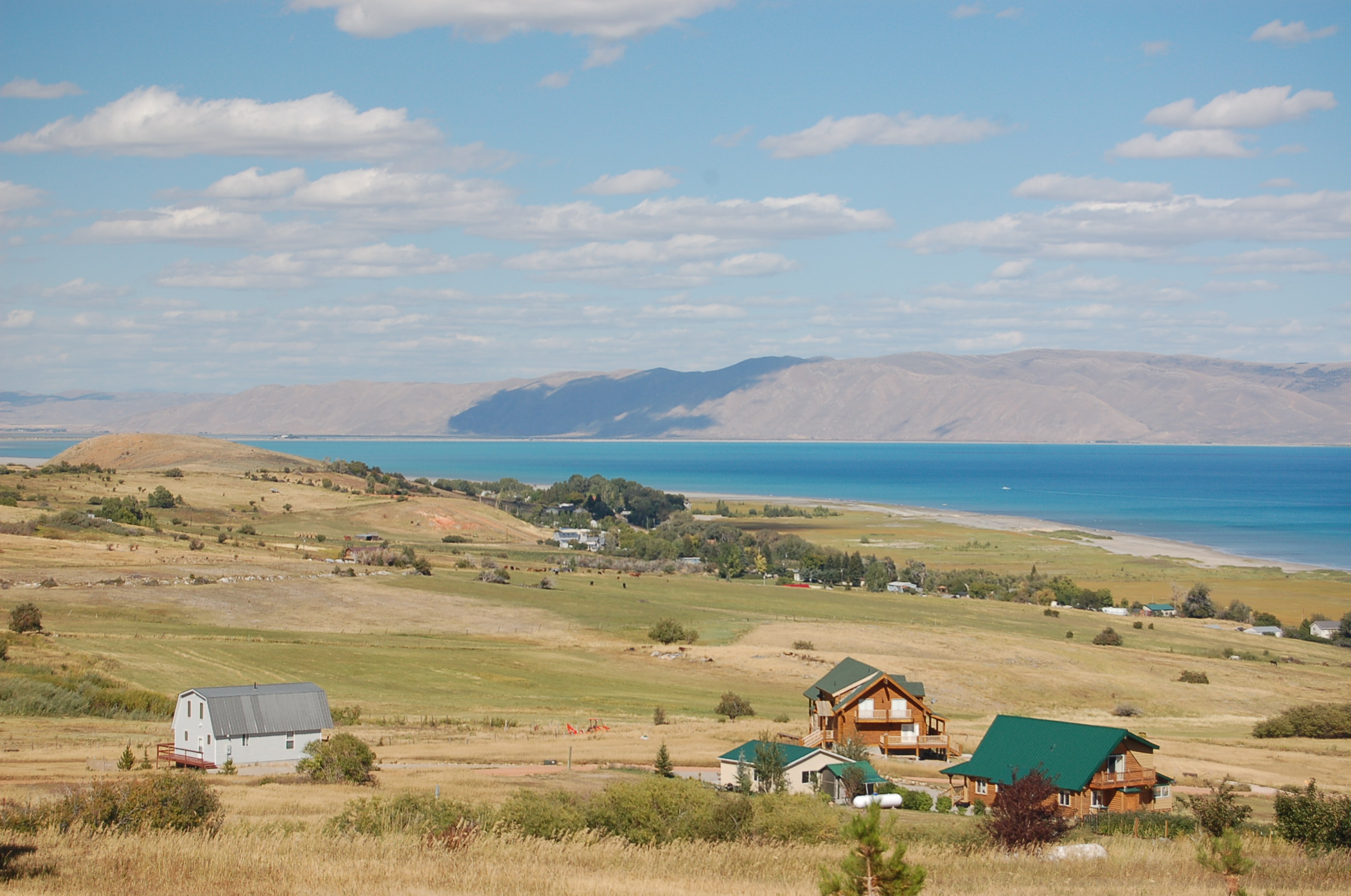
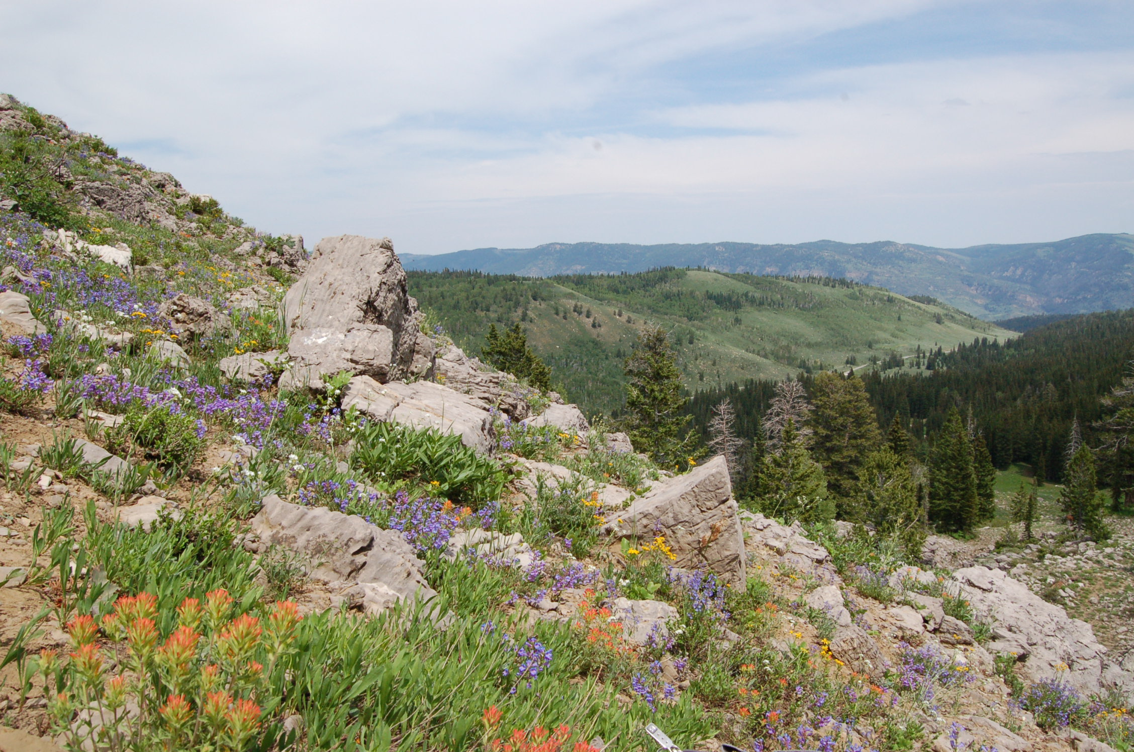
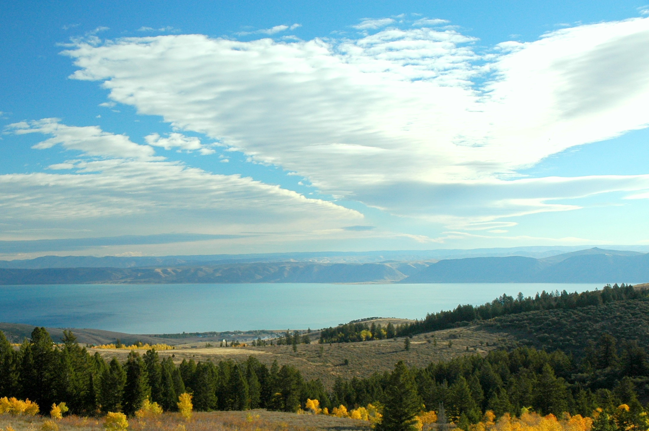
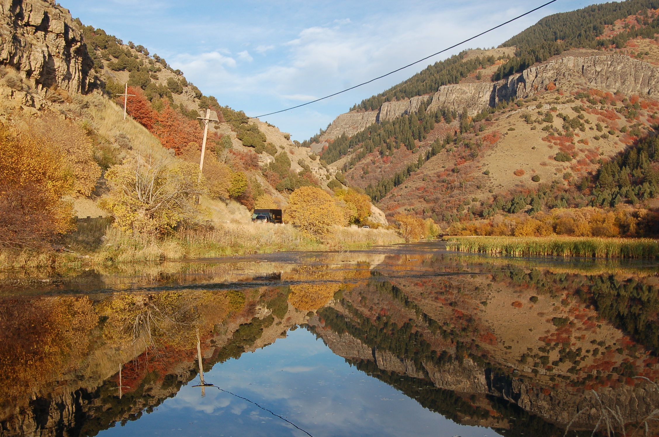
Enter through the western opening of the canyon to find this view of grand mountains.
© 1995 A. E. Crane.
Download Original (341 x 225 pixels, 14.2 KB)
-
-
-
-
-
-

-
-
-
-
-
-
-
-
-
-
-

-
-
-
-
-
-
-
-
-
-

-
-
-
-
-
-
-
-
-
-
-
-
-
-
-
-
-
-
-
-
-
-
-
-
-
-
-
-
-
-
-
-
-
-
-
-
-
-
-
-
-
-
-
-

-
-
-
-
-
-
-
-
-
-
-
-
-
-
-
-
-
-
-
-
-
-
-
-
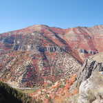
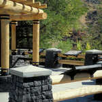
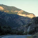
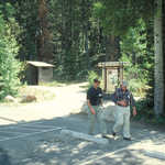
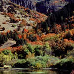
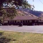
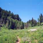
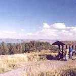
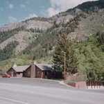
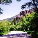
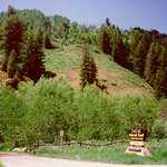
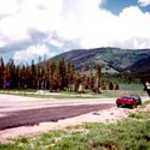
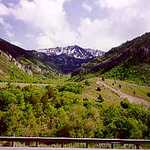
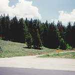
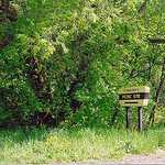
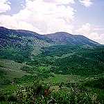
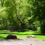
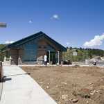
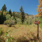
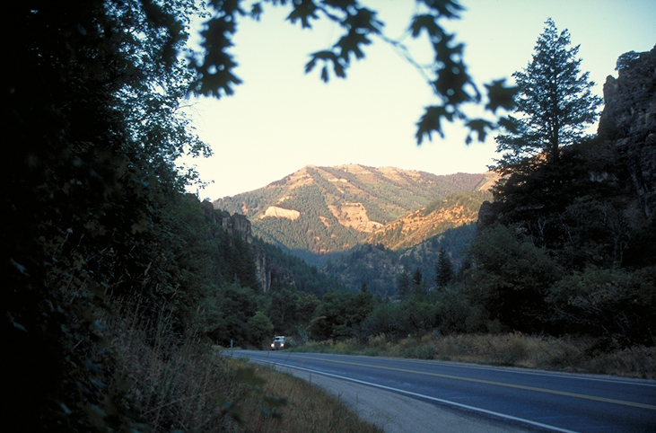
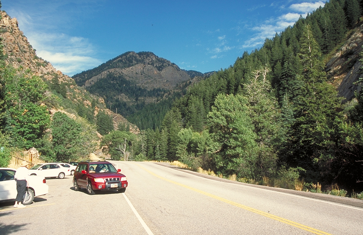
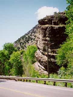
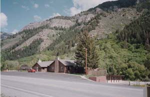
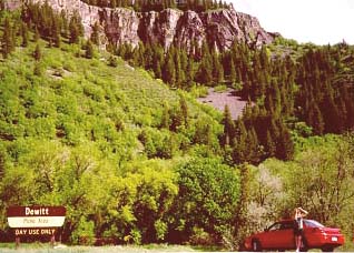
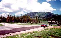
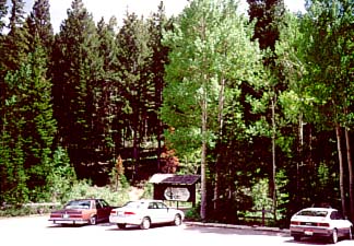
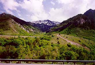
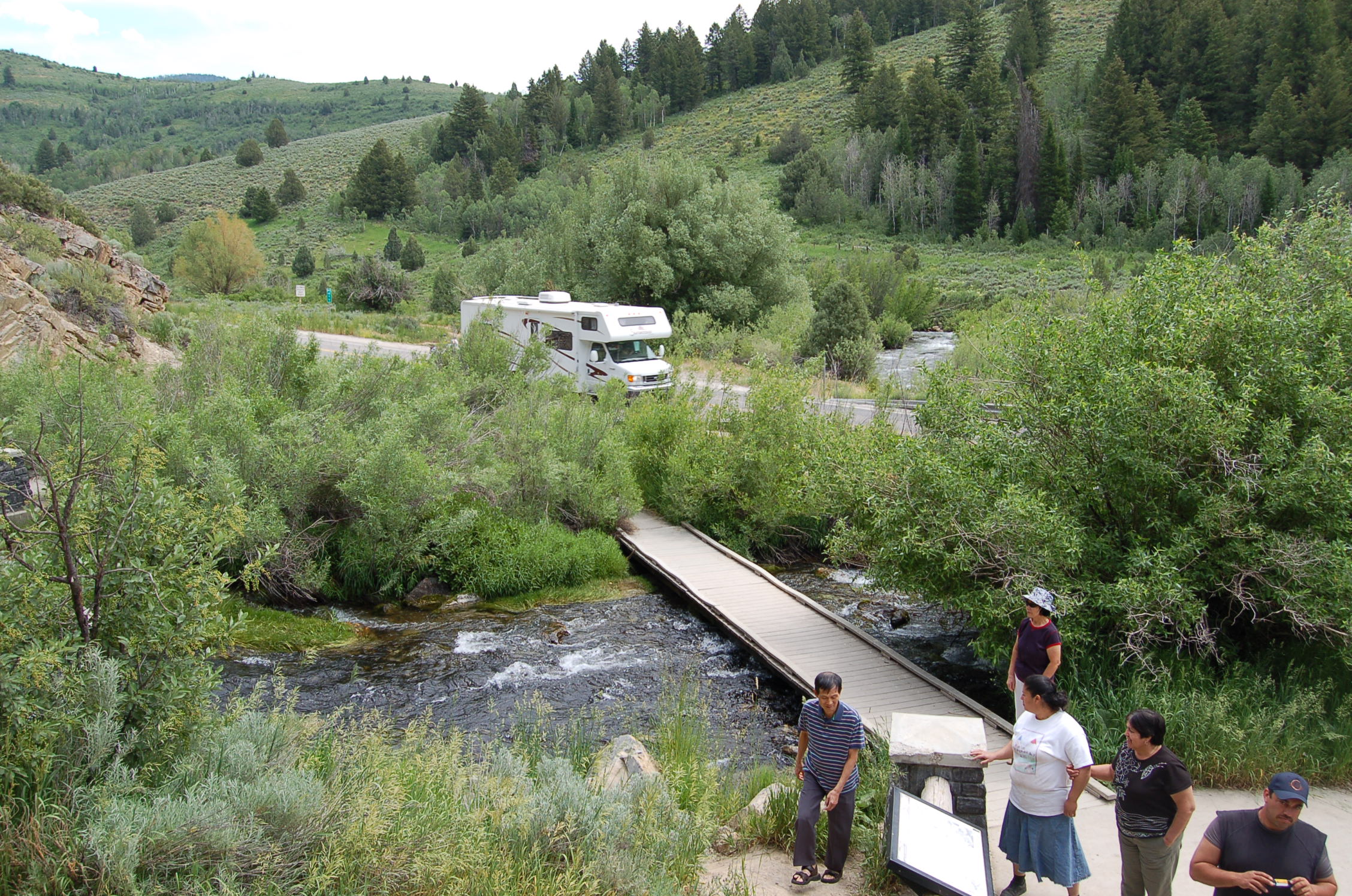
Mountains are seen above the highway by the curve of Wood Camp Campground.
© 2001 A. E. Crane.
Download Original (353 x 228 pixels, 19.4 KB)
-

-
-
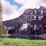
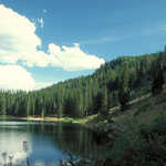
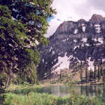
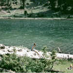
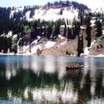
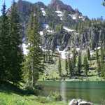
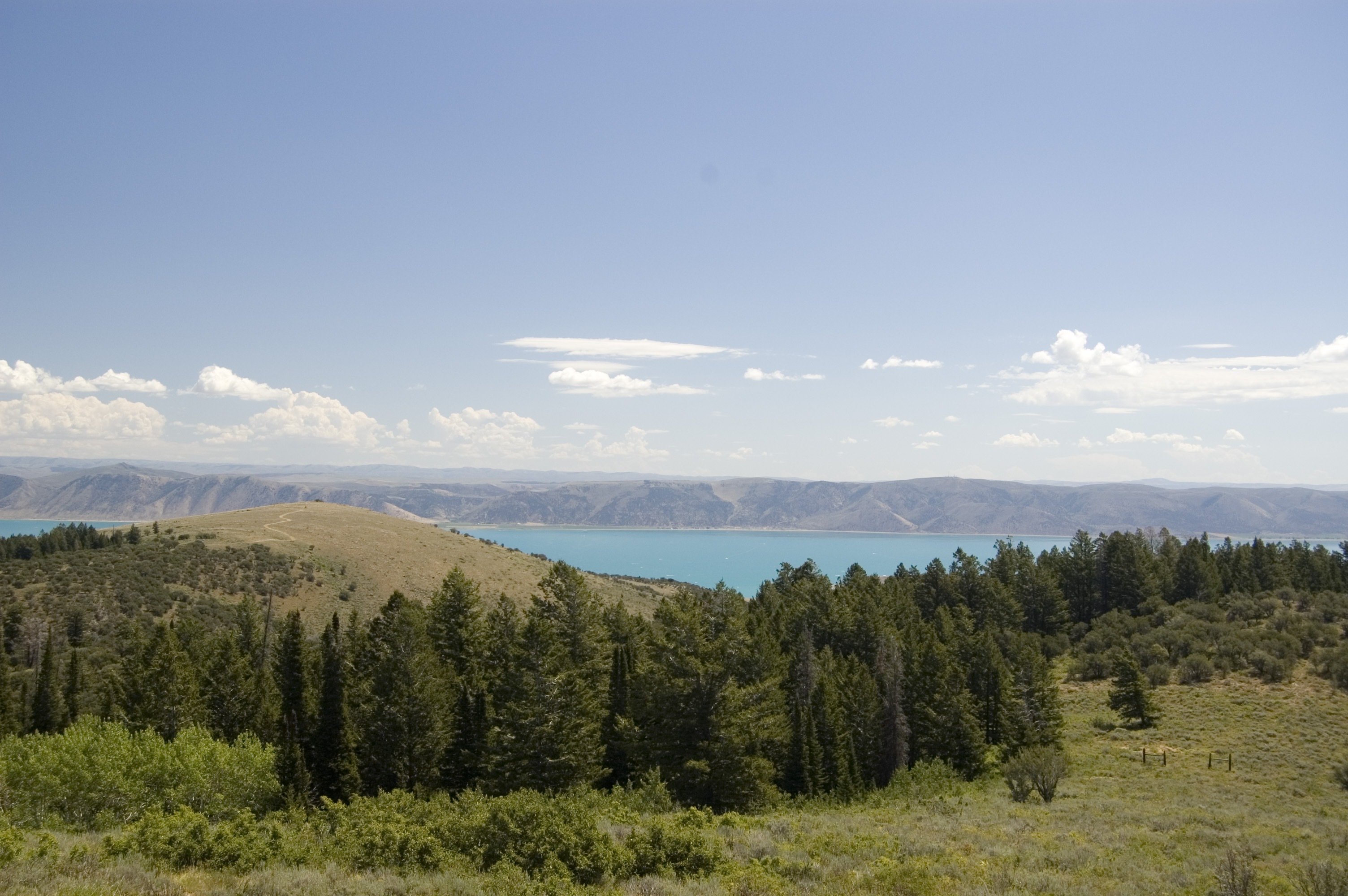
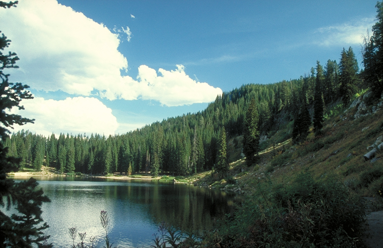
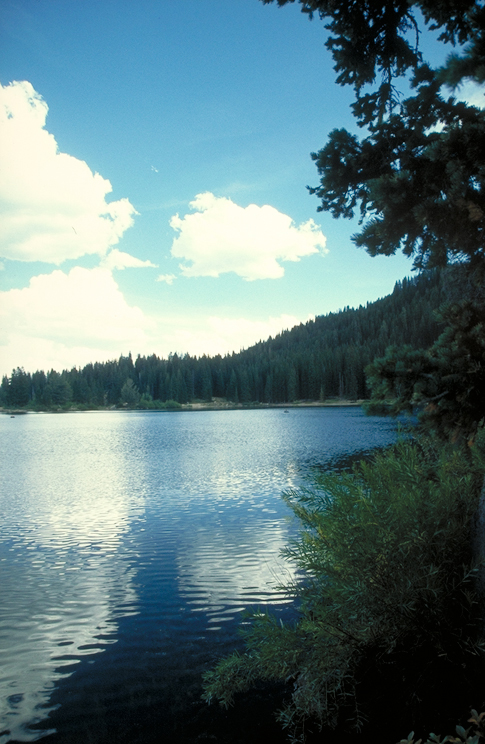
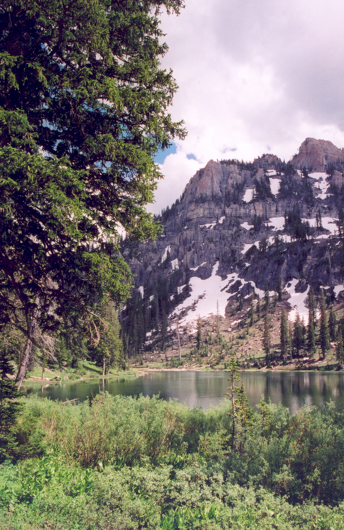
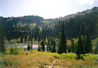
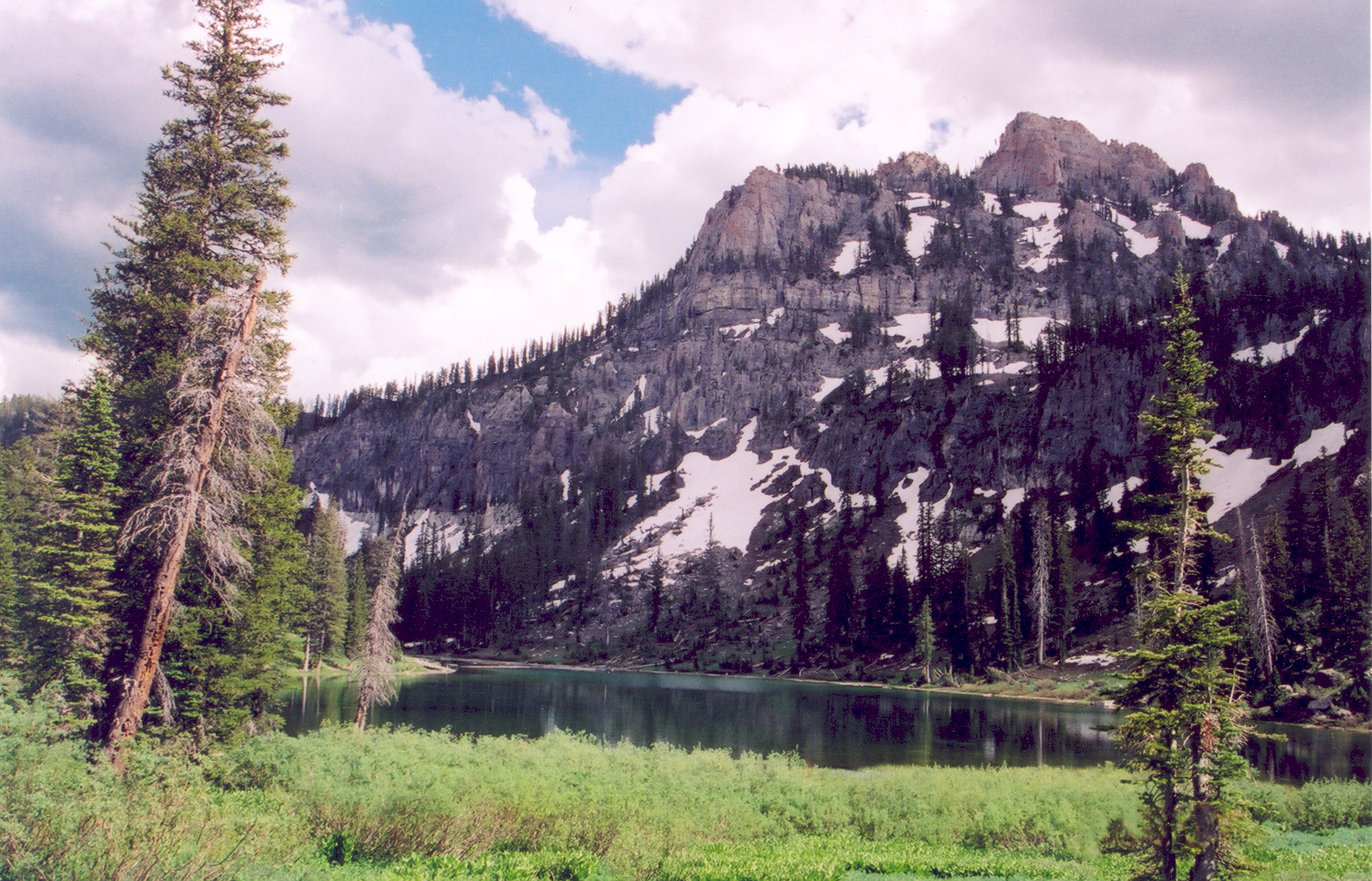
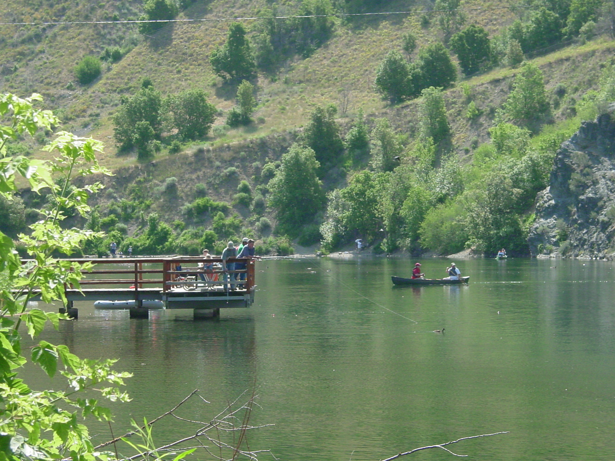
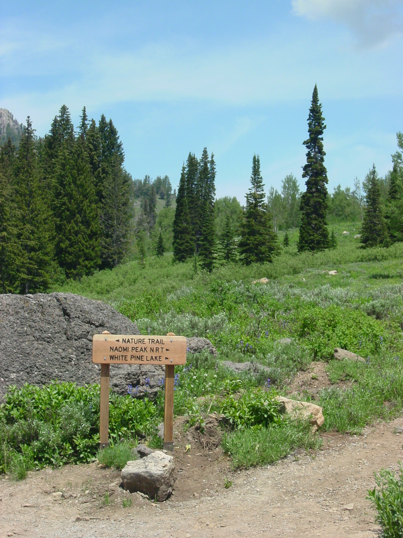
Snow-speckled Mt. Magog provides a majestic backdrop to White Pine Lake.
© June 2004 A. E. Crane.
Download Original (1784 x 1146 pixels, 2848.4 MB)
-
-
-
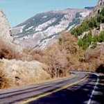
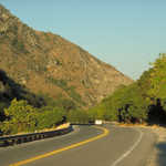
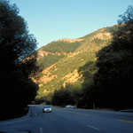
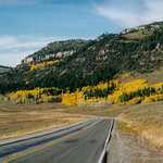
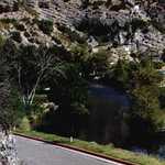
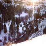
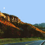
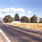
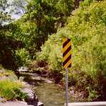
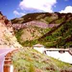
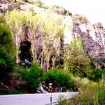
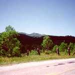
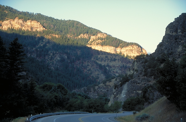
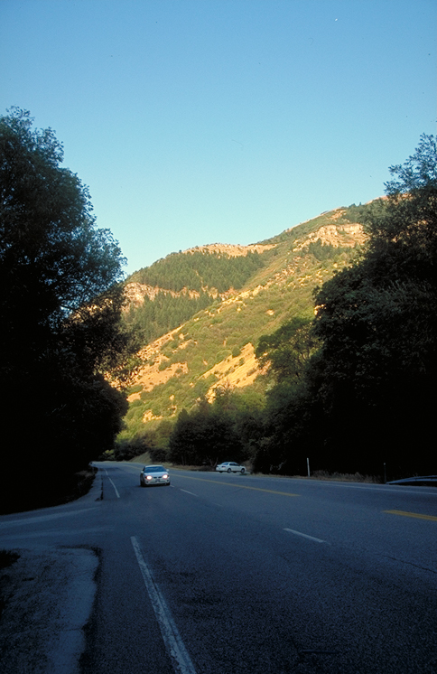
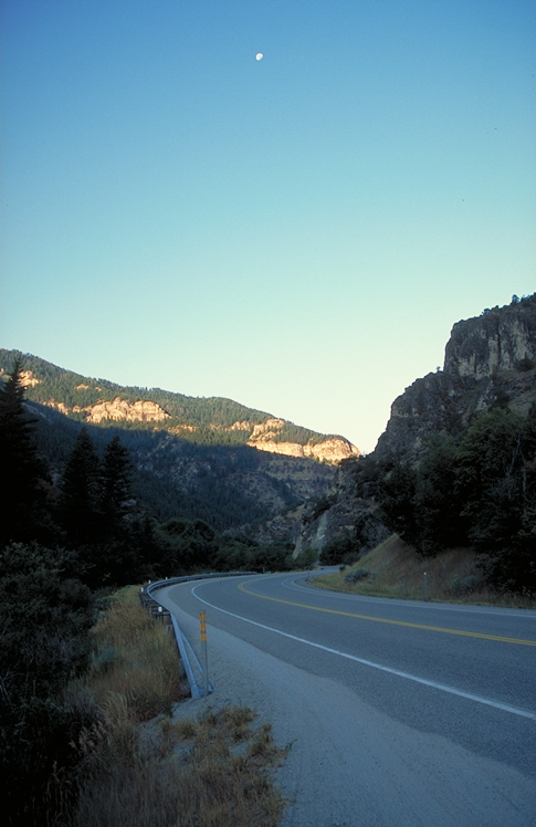
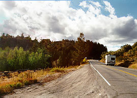
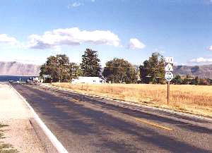
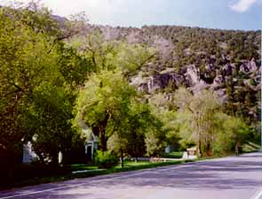
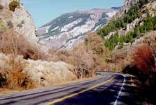
Snow dusts the mountains behind a curve in the road near the entrance to Logan Canyon.
 © 1996 S. W. Clyde.
Download Original (225 x 152 pixels, 15.6 KB)
-
-
-
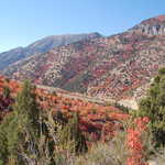
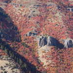
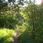
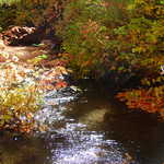
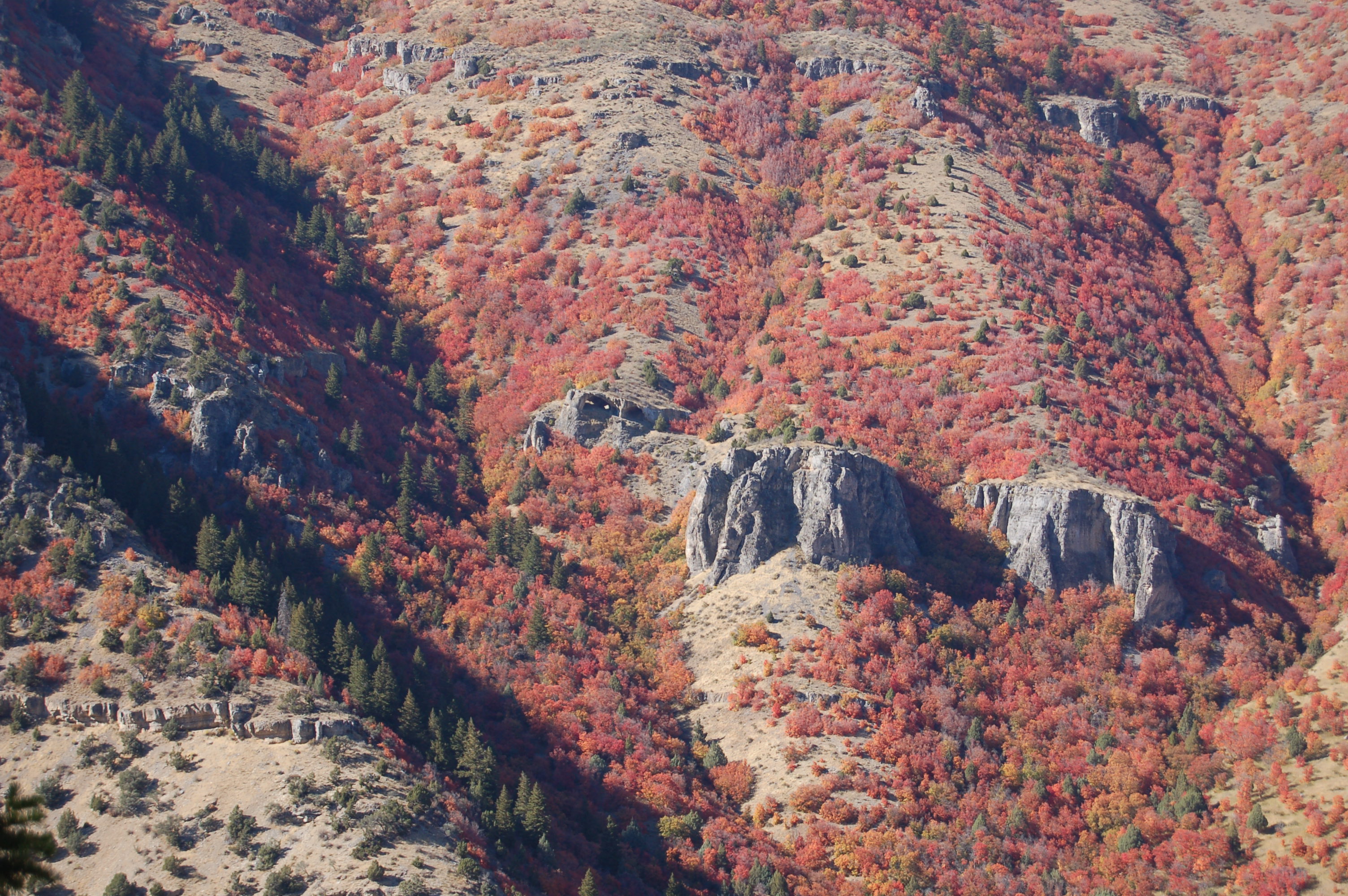
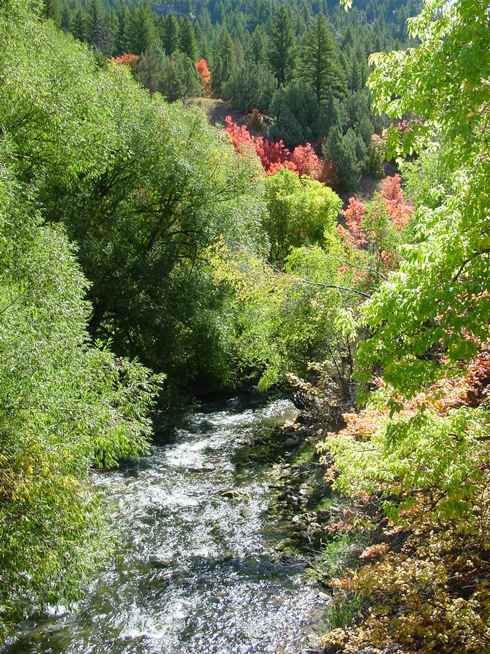
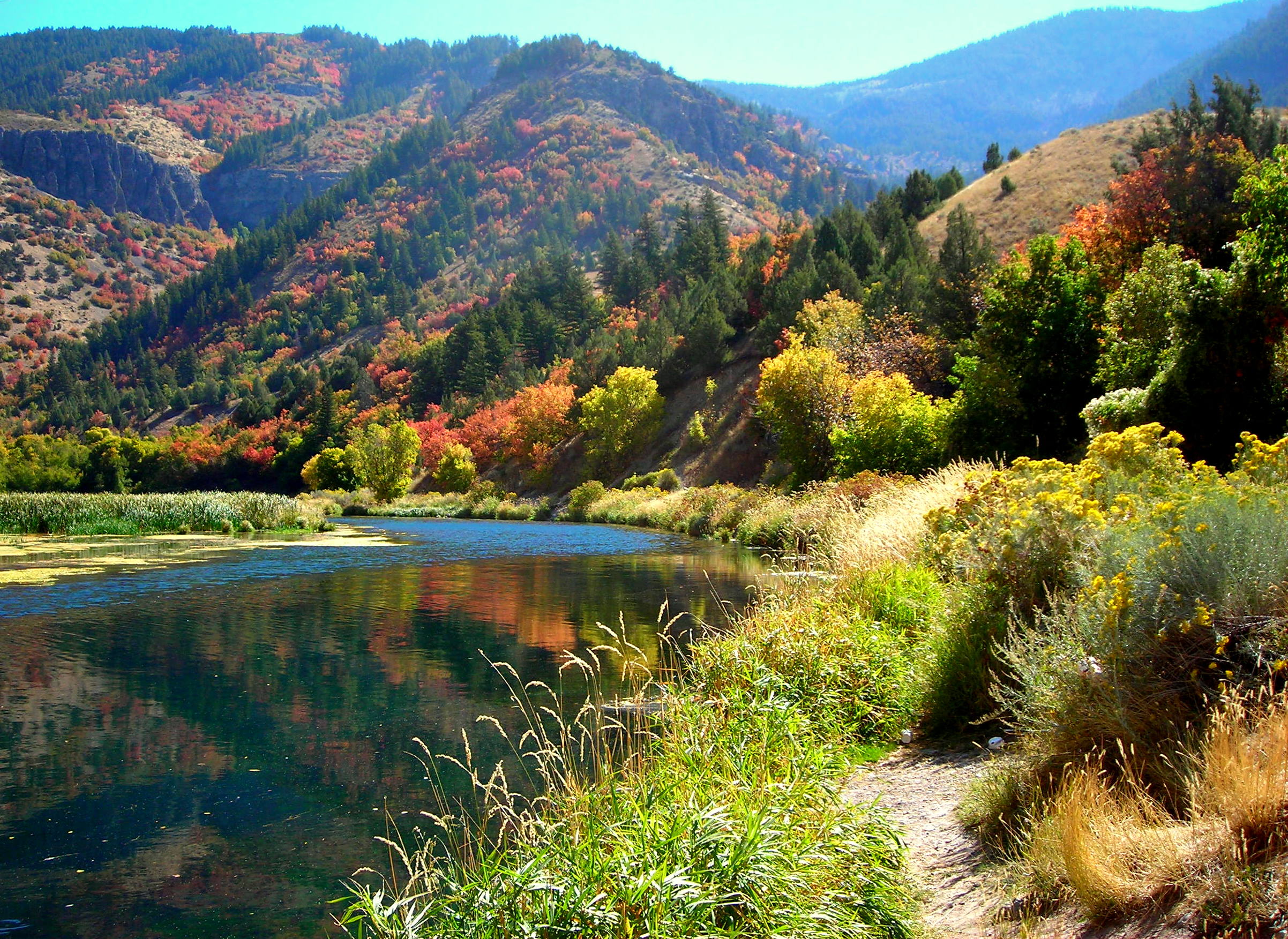
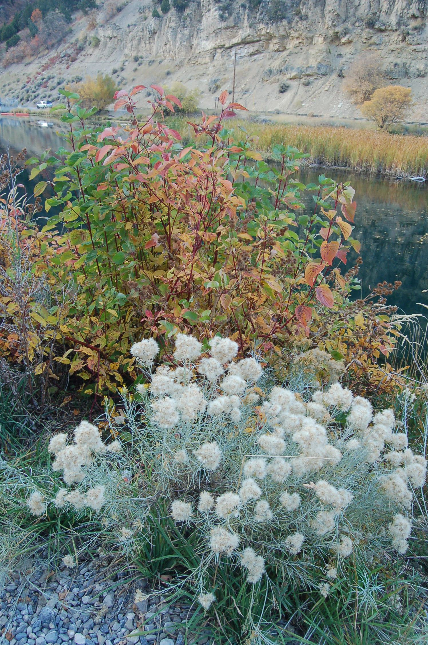
Fall has nipped these aspen trees on the White Pine Lake Trail in the Wasatch Mountains of Utah.
 © September 2003 A. E. Crane.
Download Original (1763 x 1160 pixels, 653.5 KB)
-
-
-
-
-
-
-
-
-
-
-
-
-
-
-
-
-
-
-
-
-
-
-
-
-

-
-
-
-
-
-
-
-
-
-
-

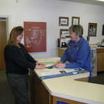
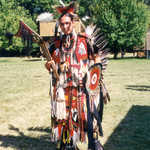
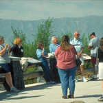
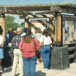
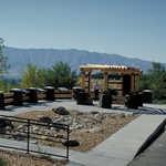
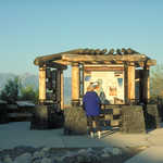
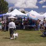
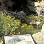
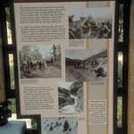
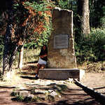
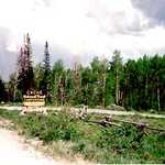
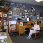
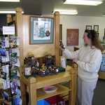
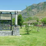
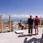
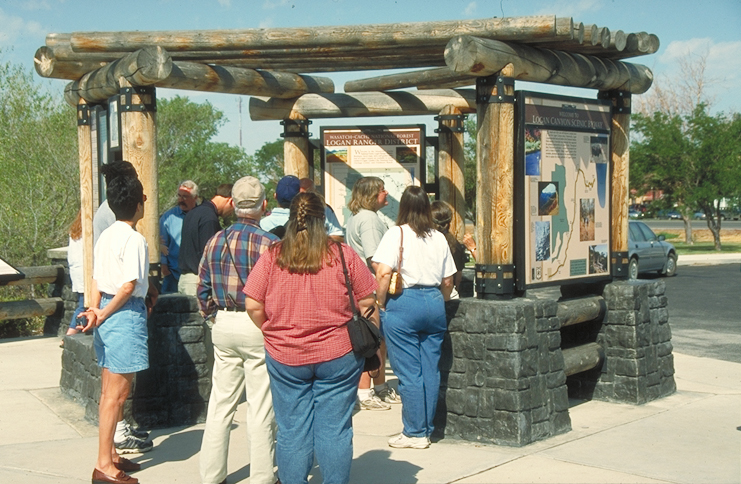
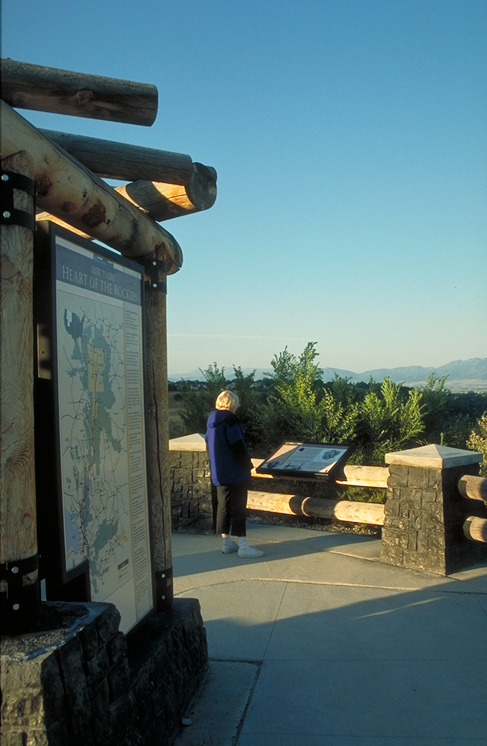
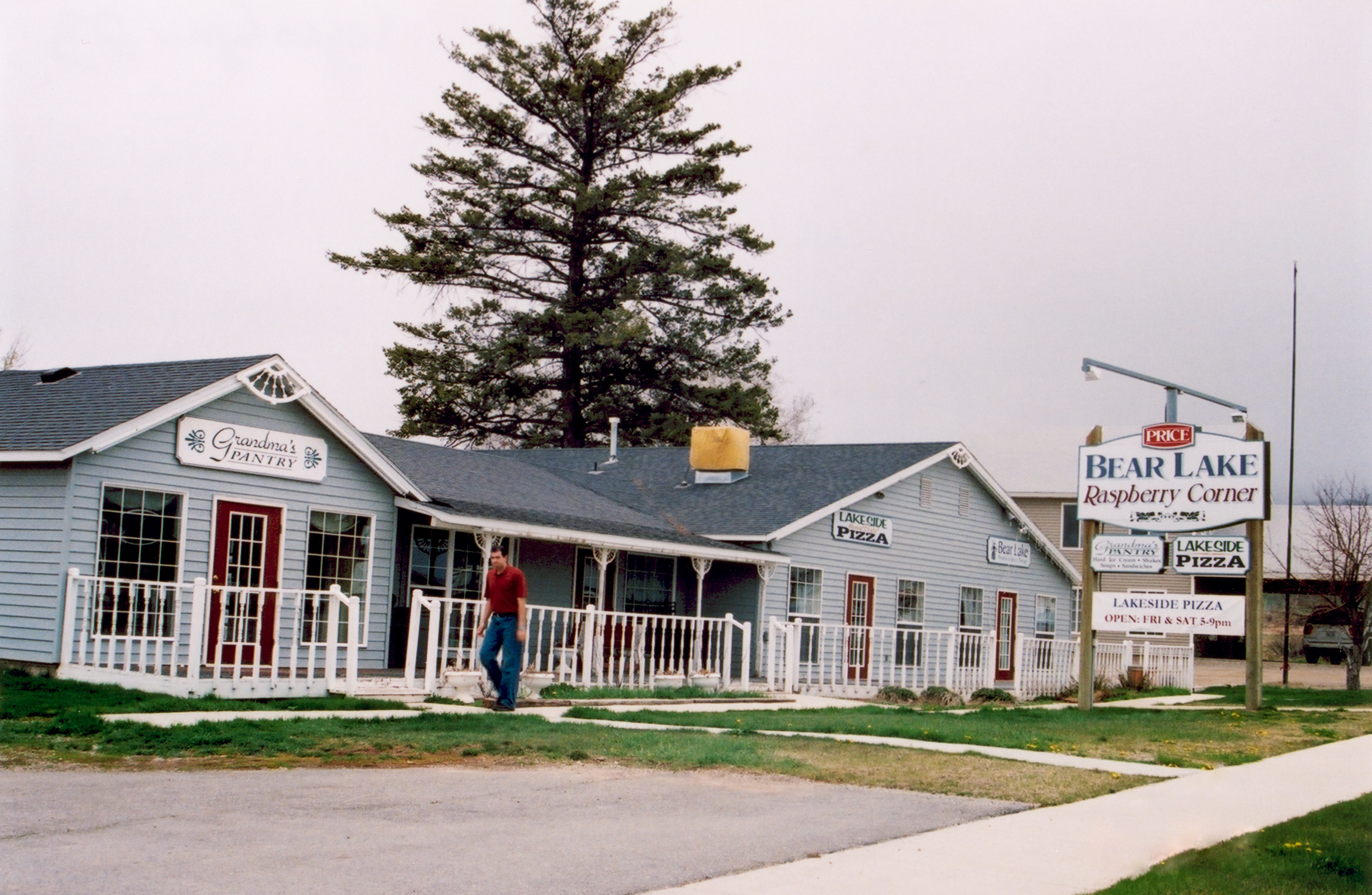
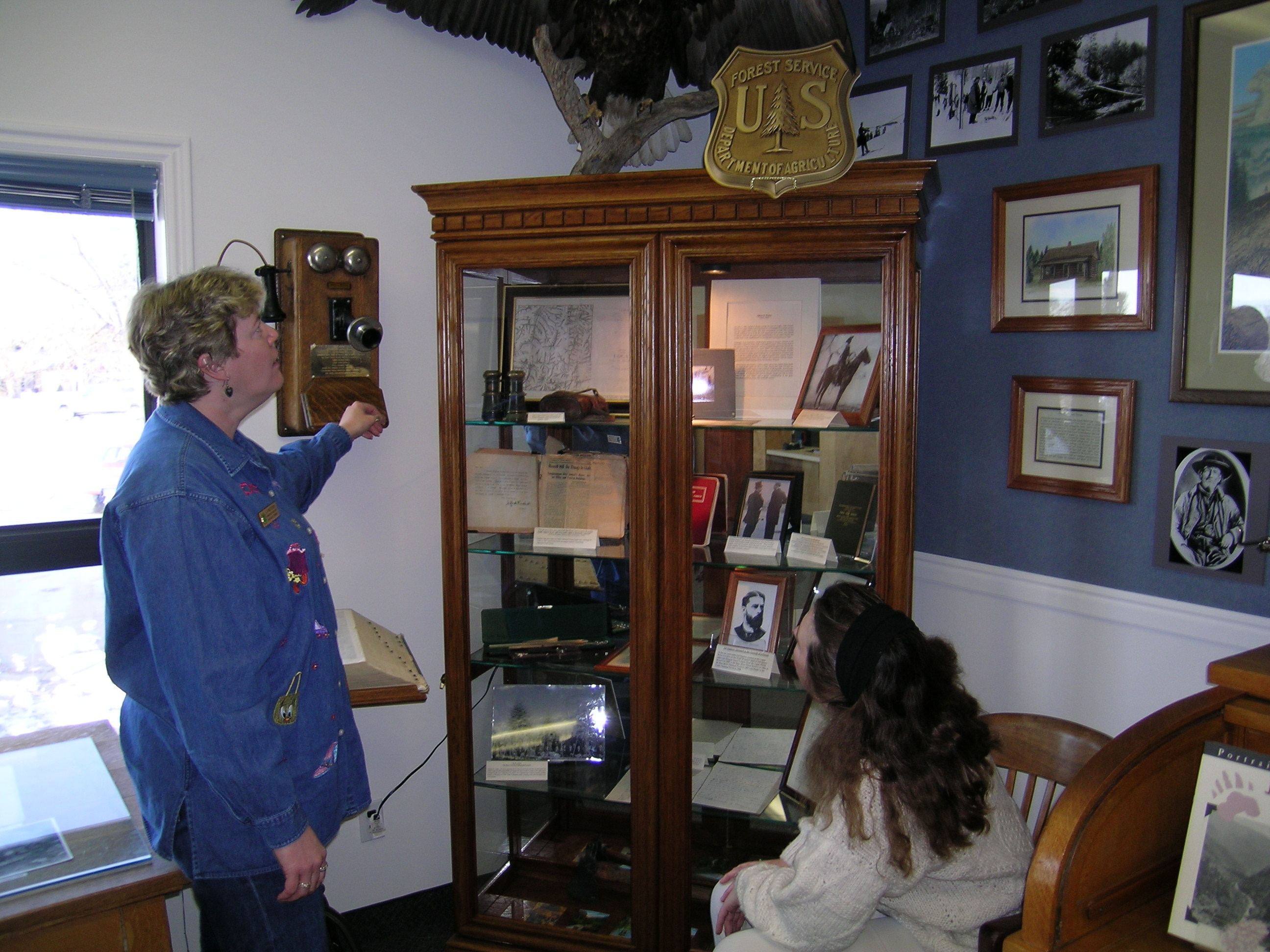
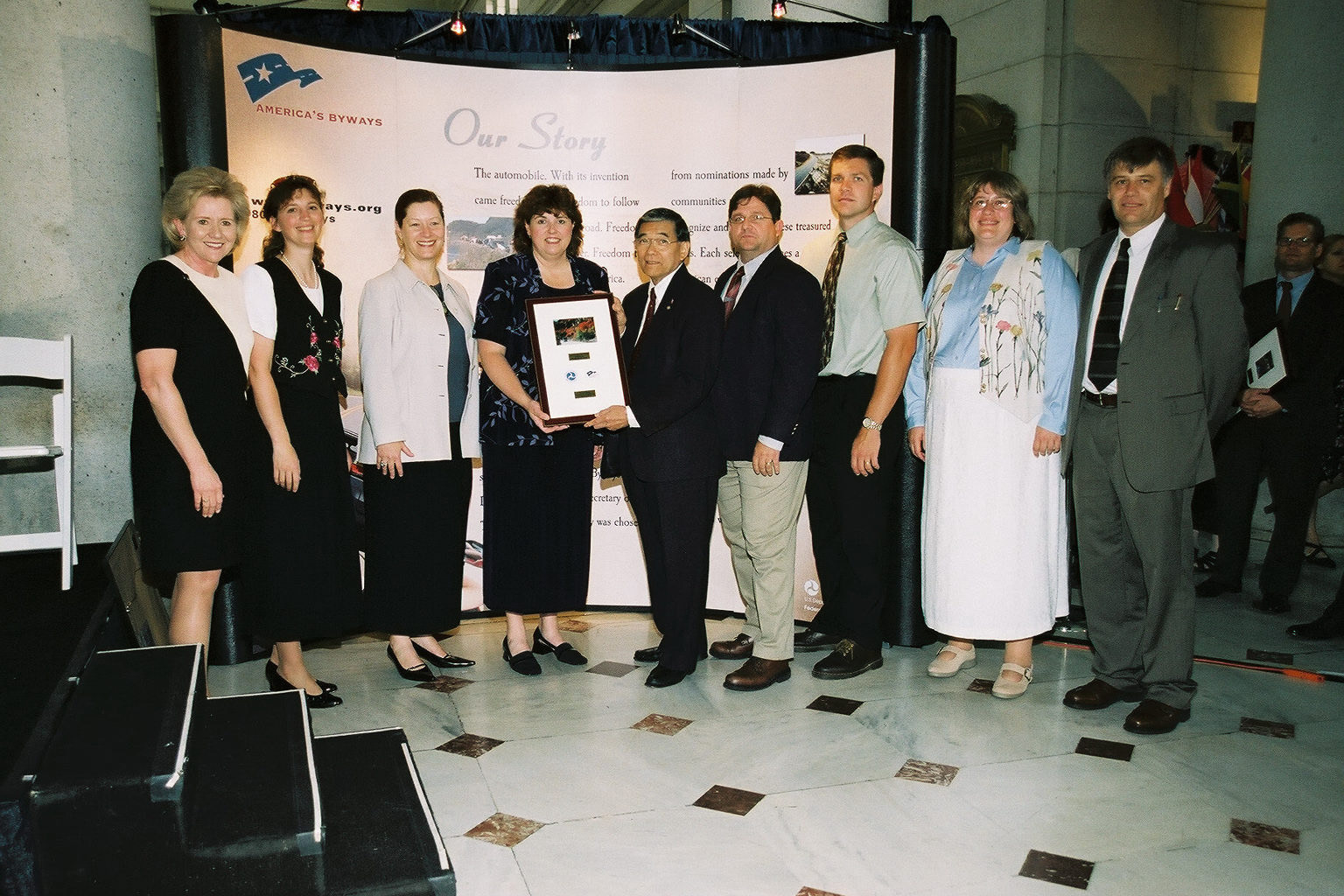
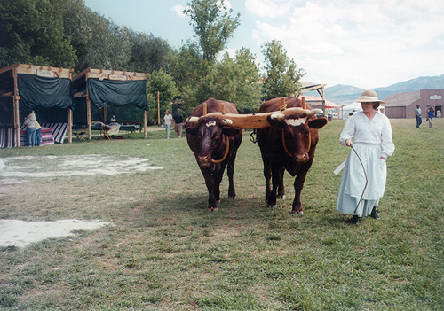
Utah's Logan Canyon Scenic Byway receives their designation plaque at the Designation 2002 event at Union Station in Washington DC.
 © June 2002 FHWA-NSB.
Download Original (1536 x 1024 pixels, 463.7 KB)
-
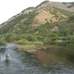
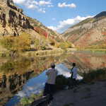
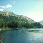
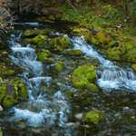
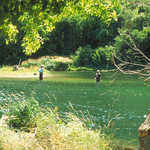
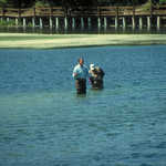
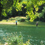
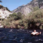
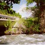
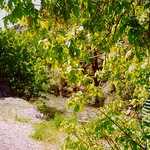
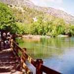
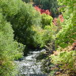
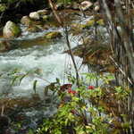
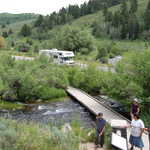
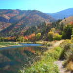
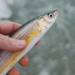
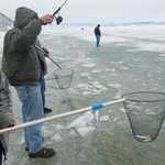
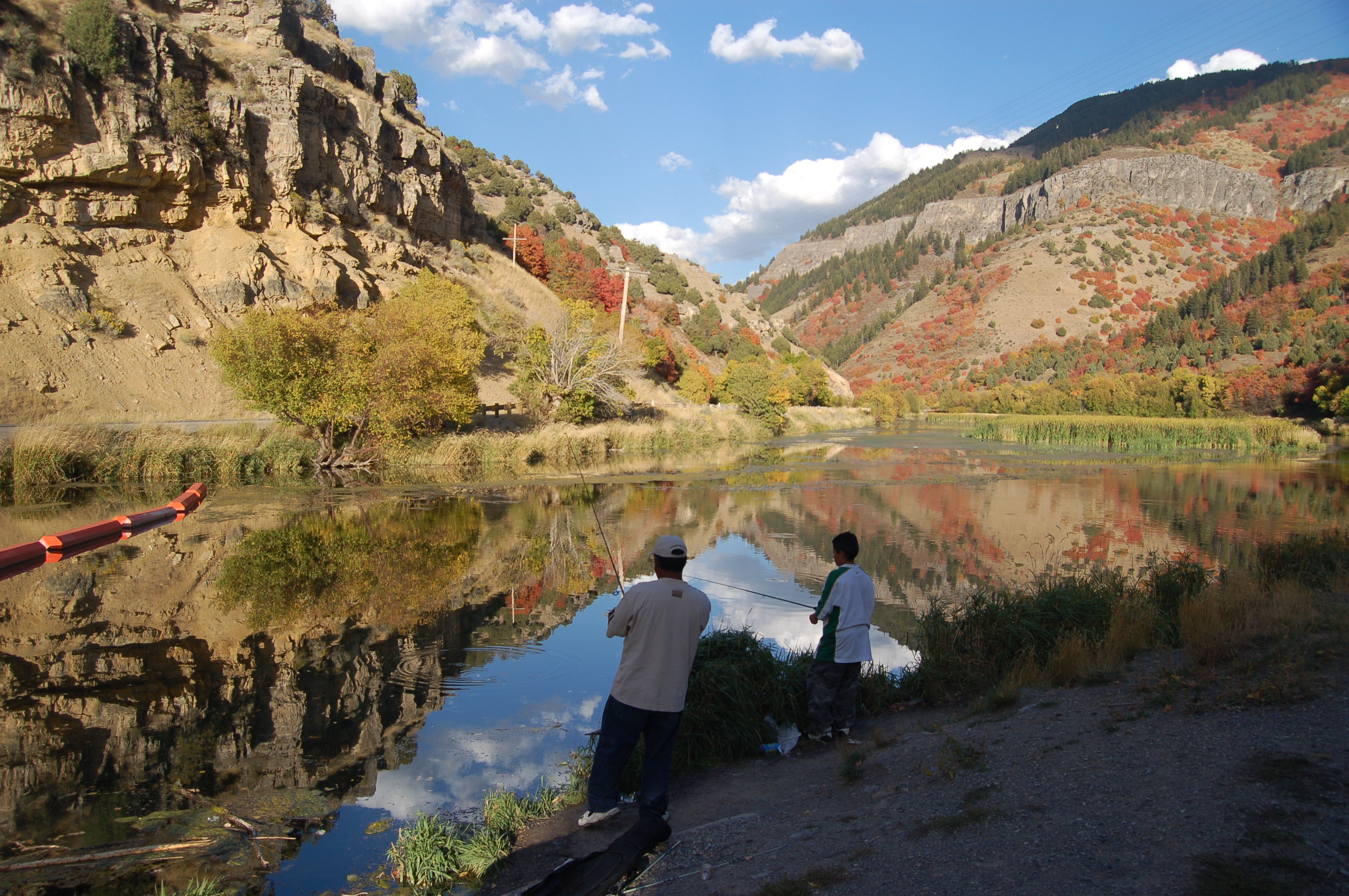
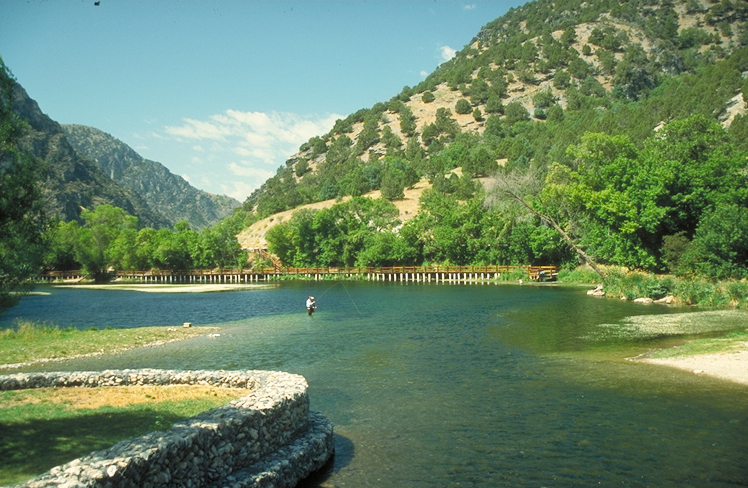
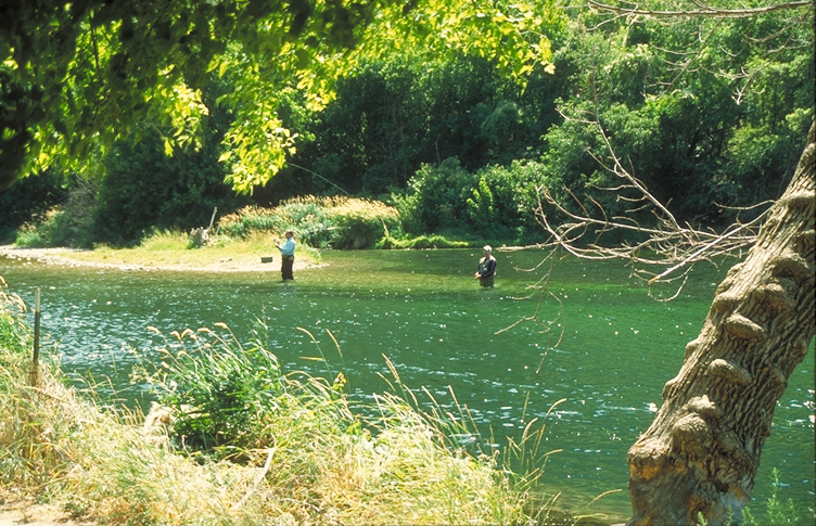
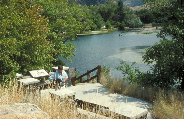
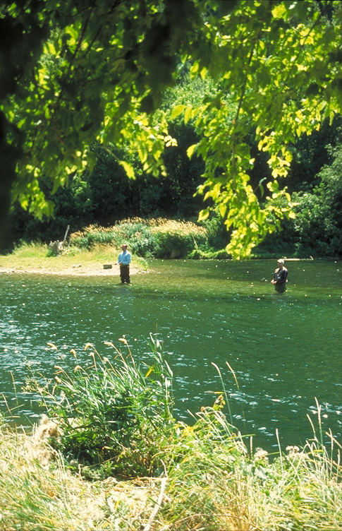
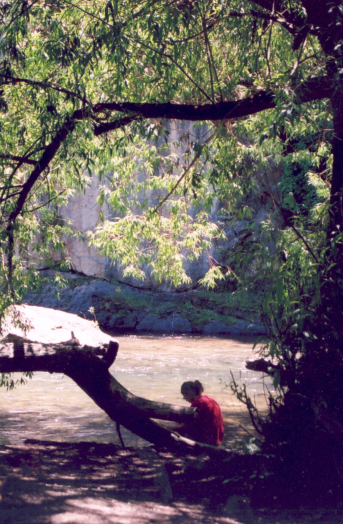
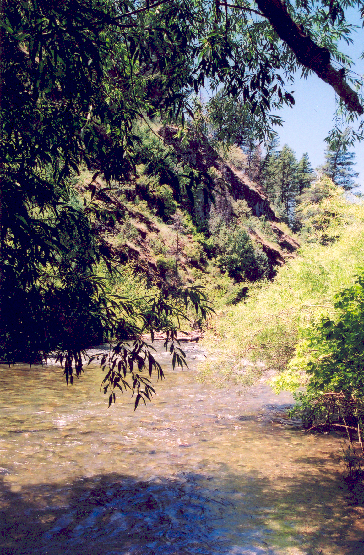
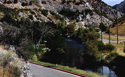
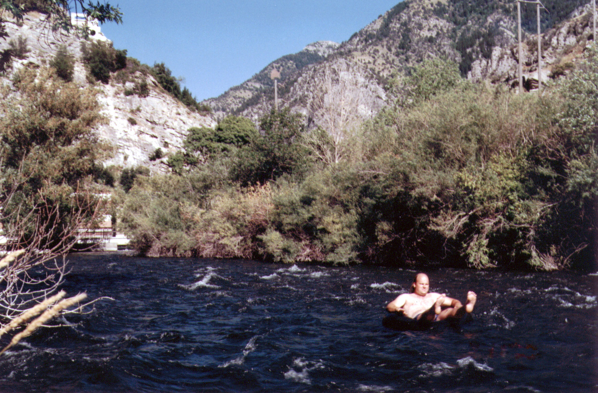
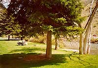
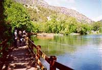
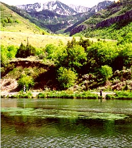
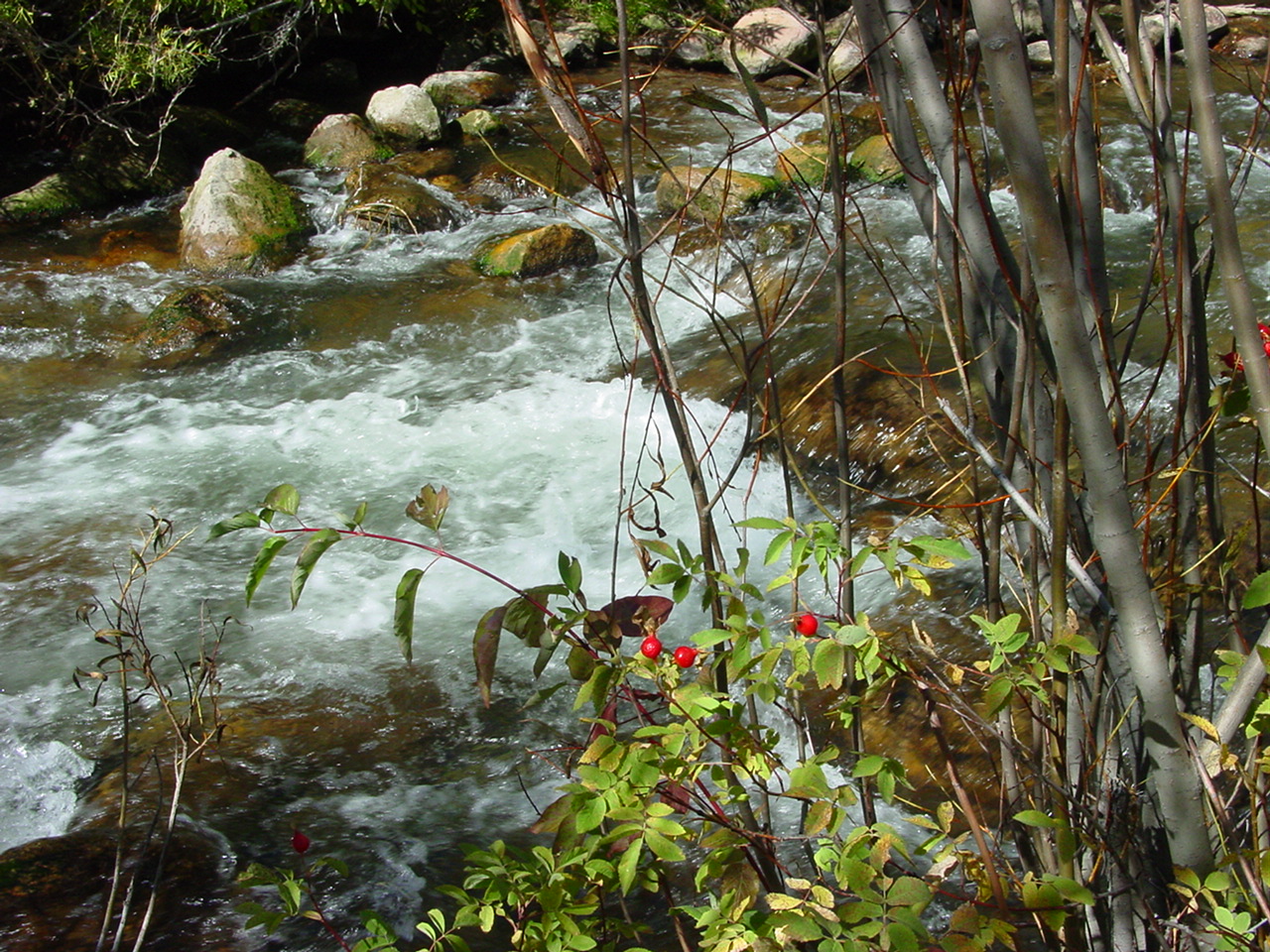
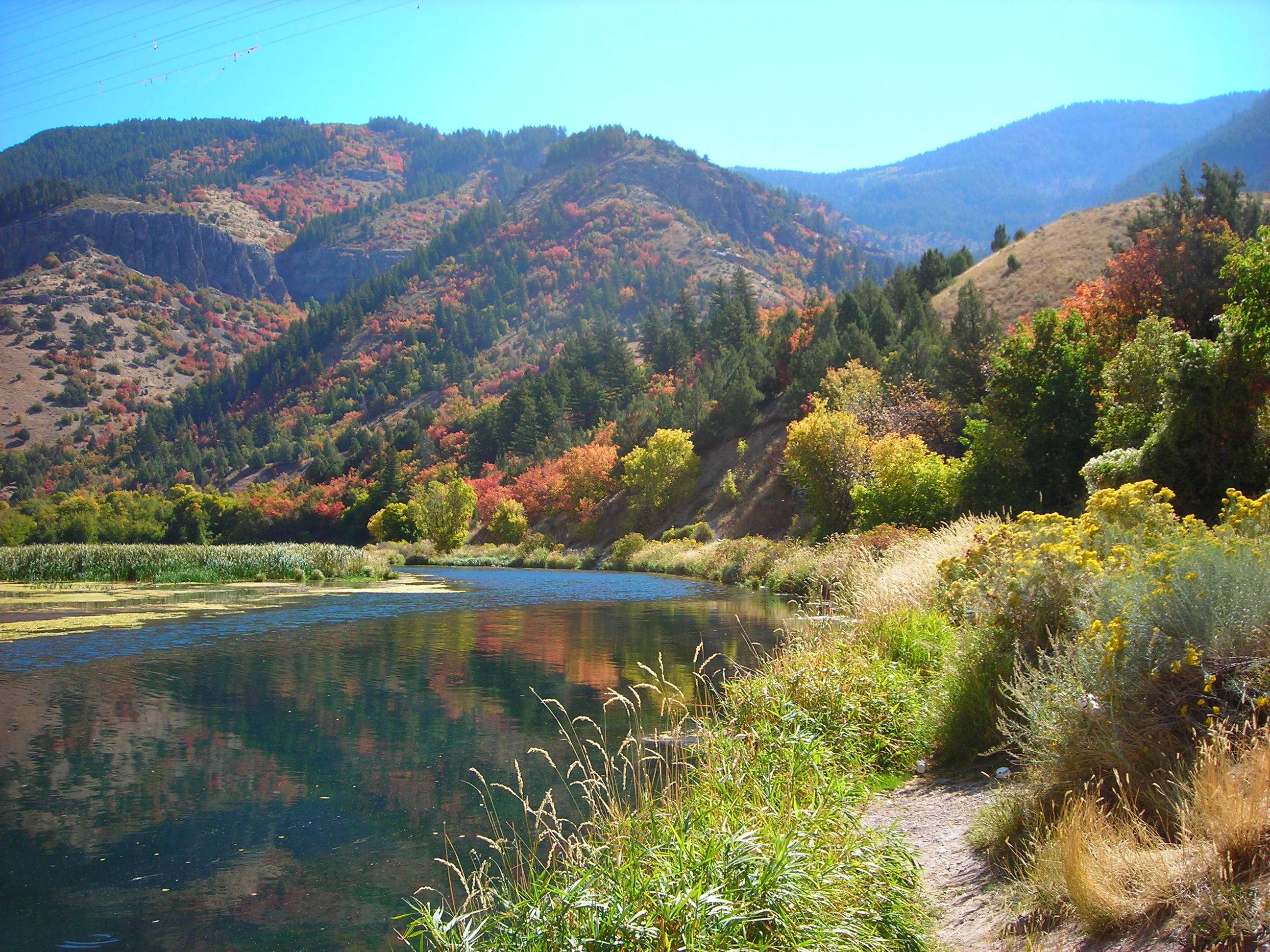
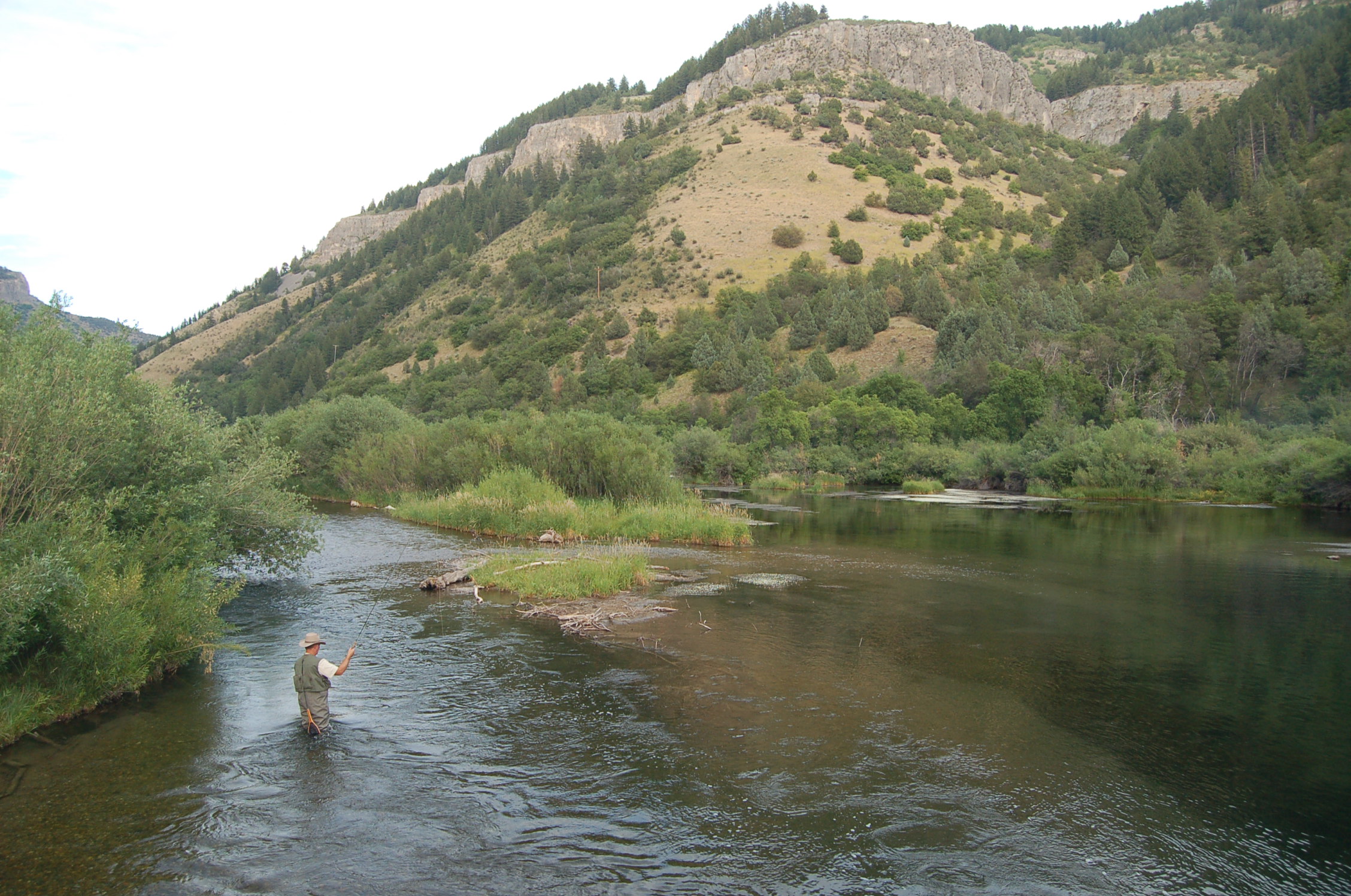
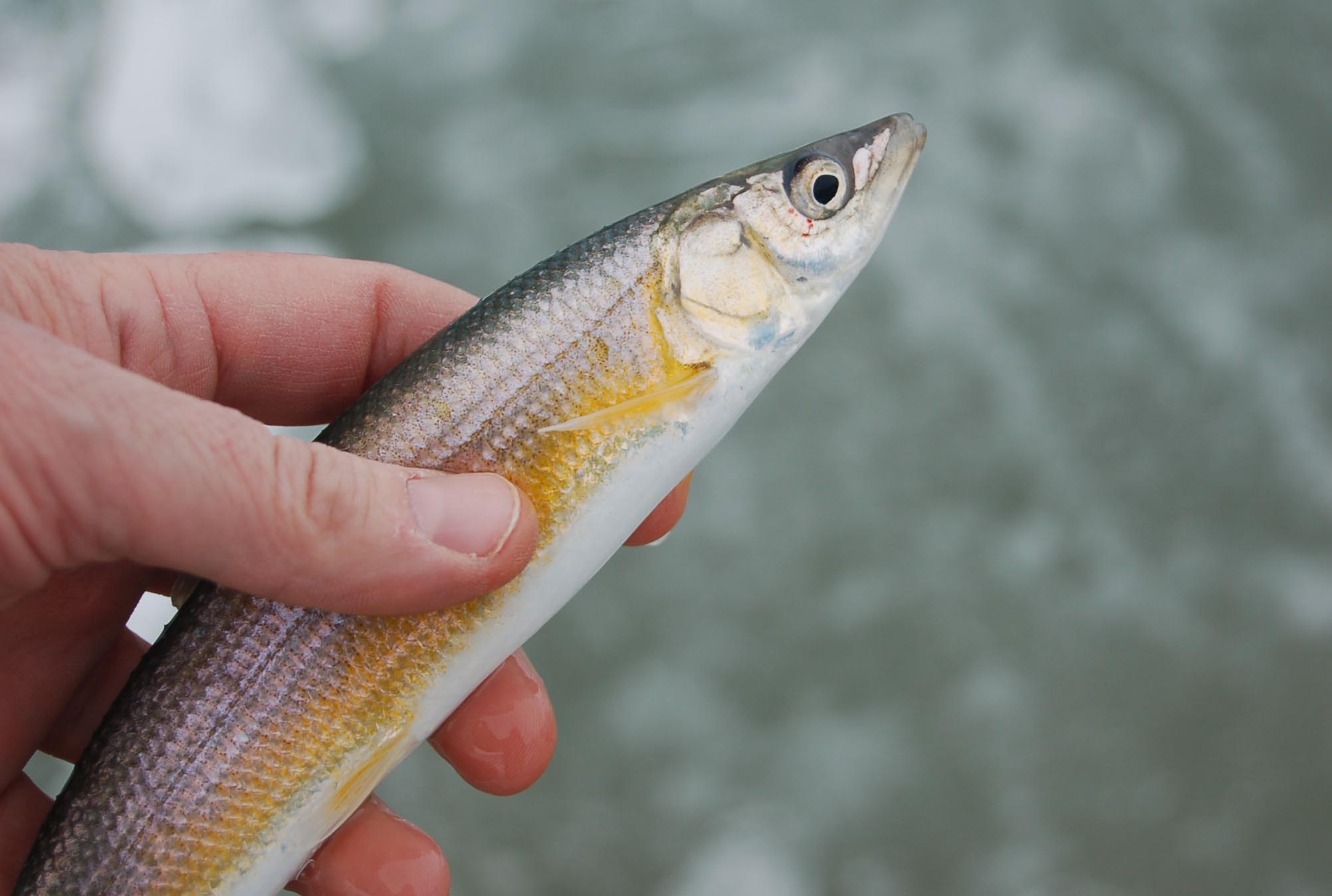
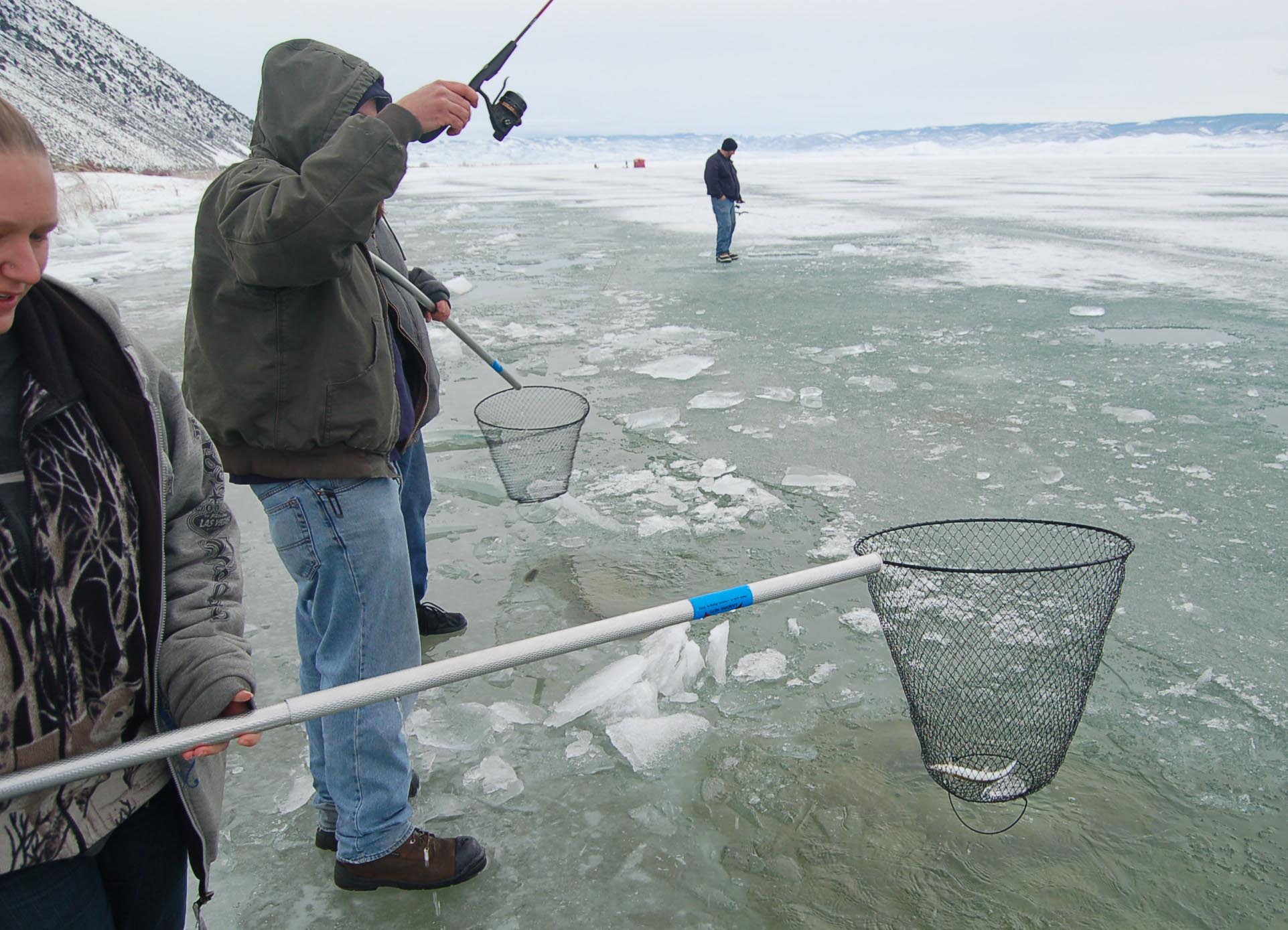
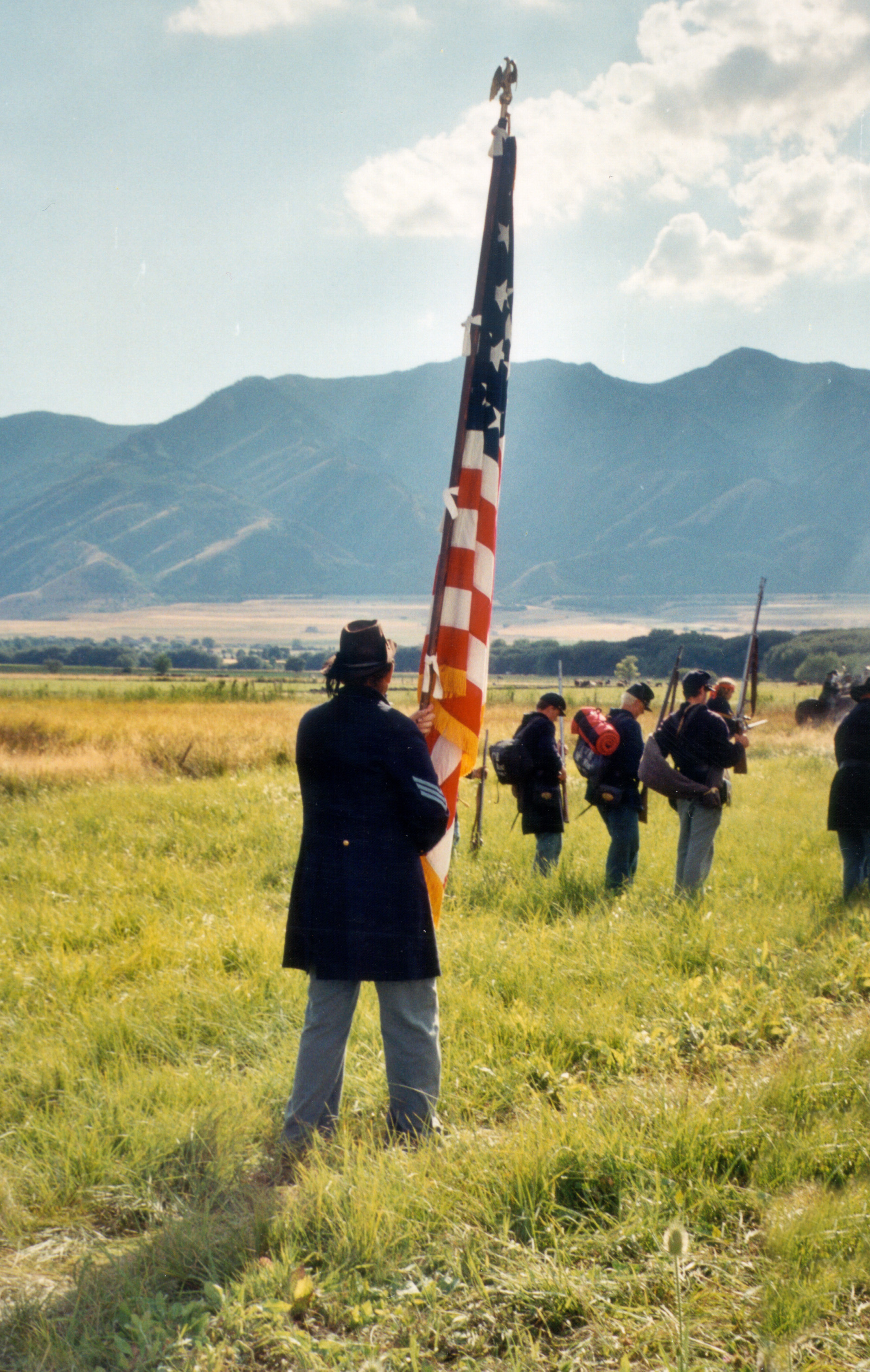
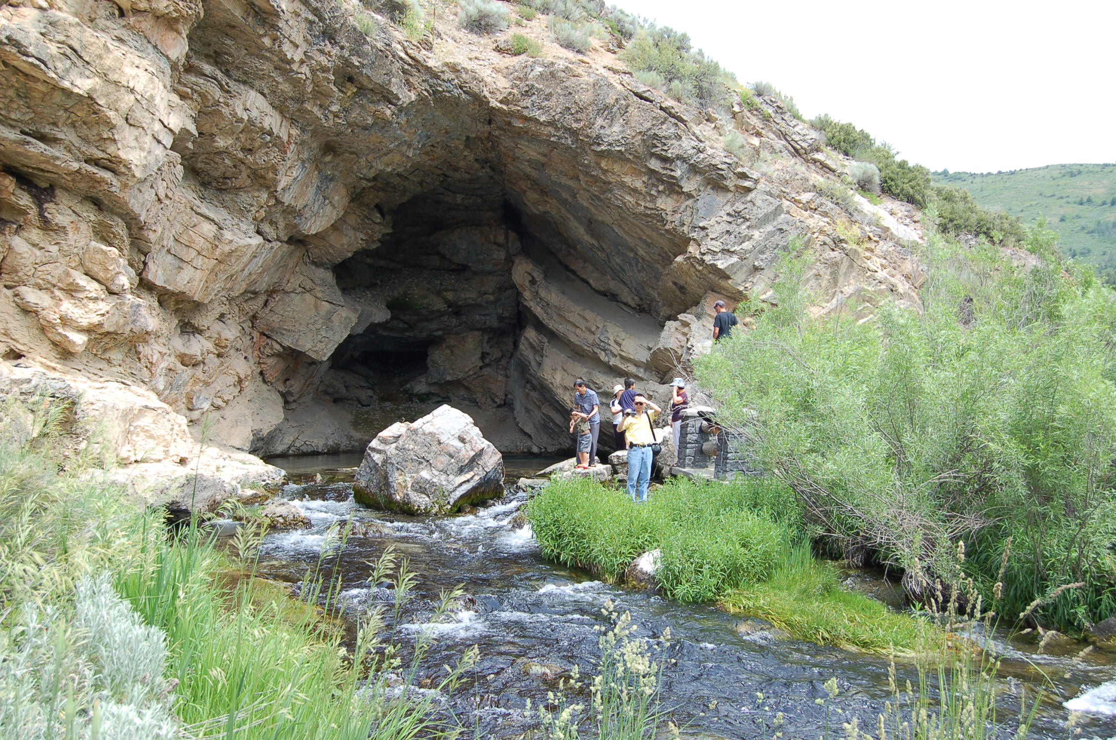
Hip-deep in the Logan River at Third Dam, a fisherman readies his line.
© July 2010 A. Crane.
Download Original (2256 x 1496 pixels, 896.1 KB)
-
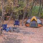
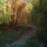
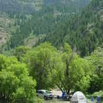
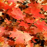
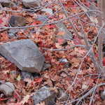
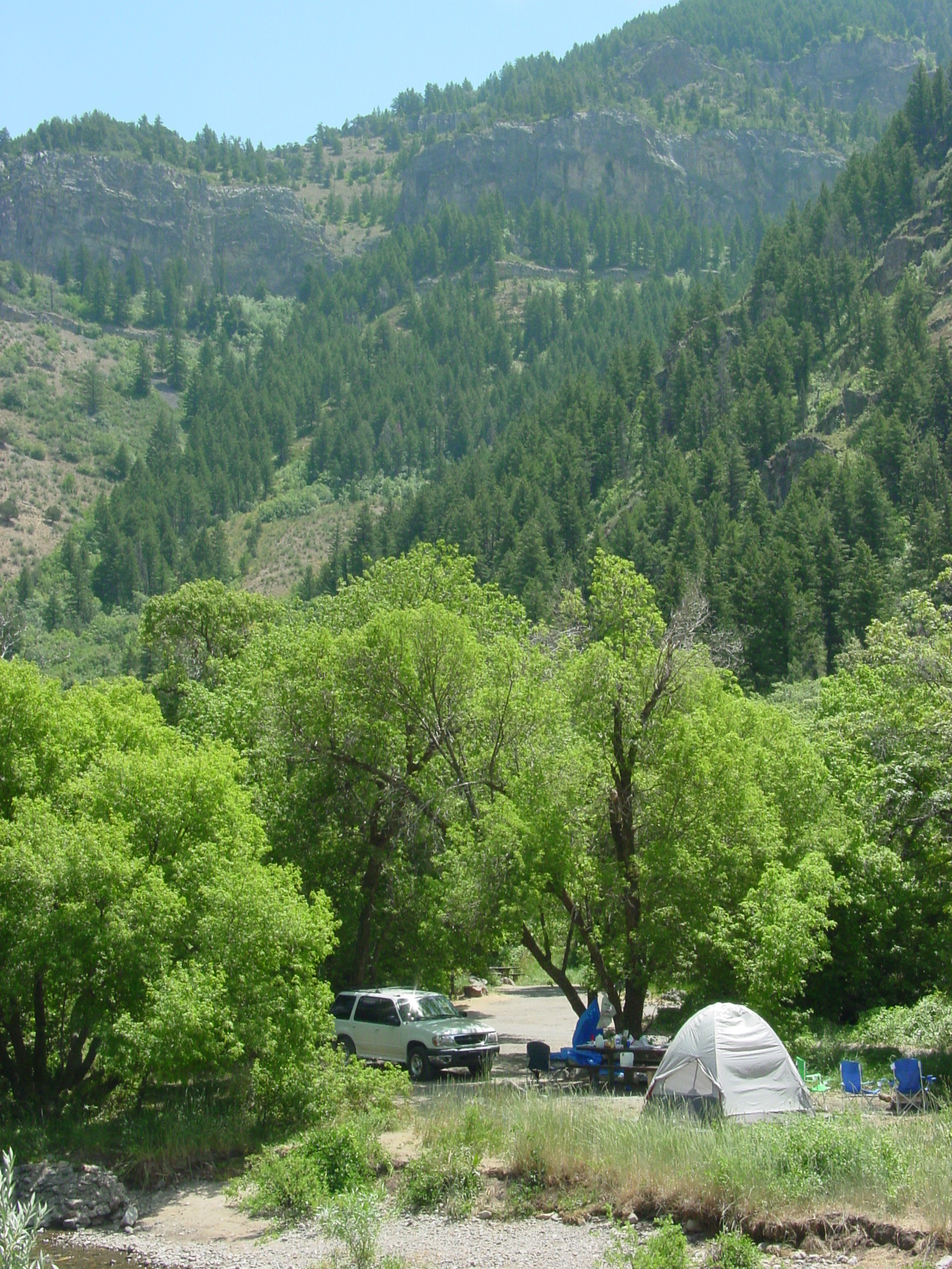
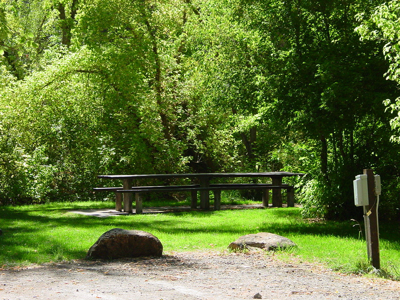
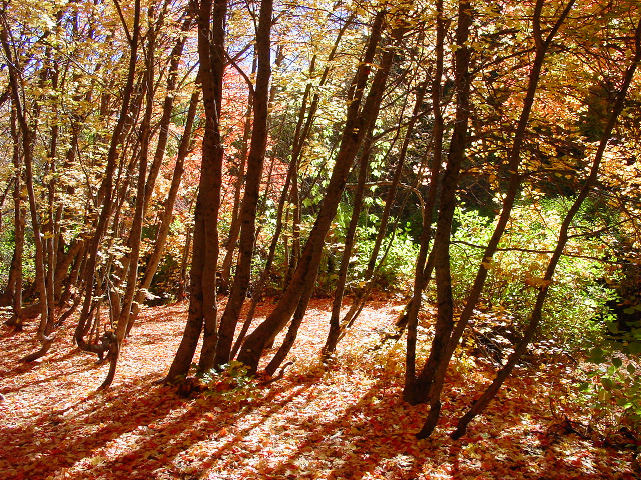
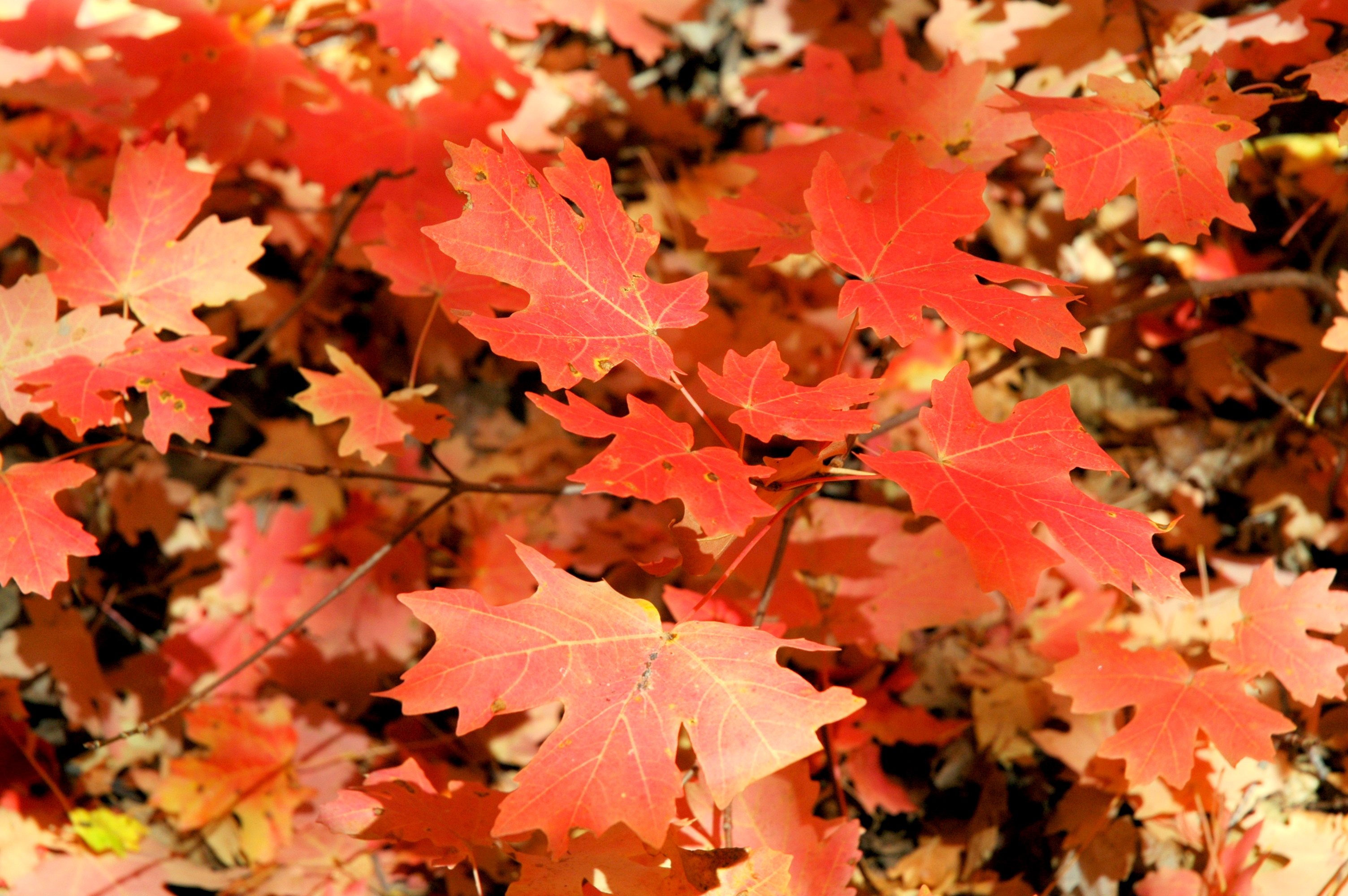
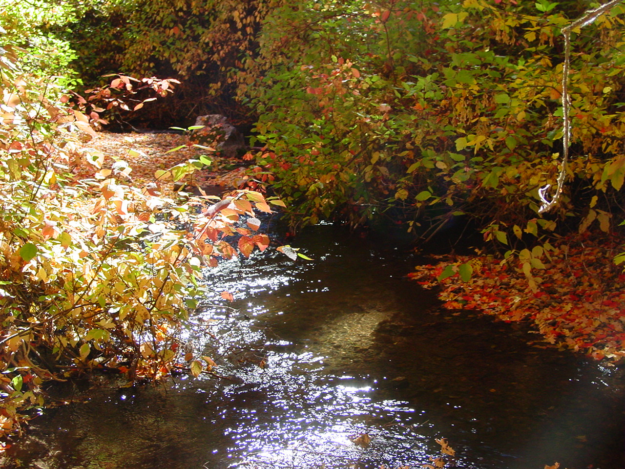
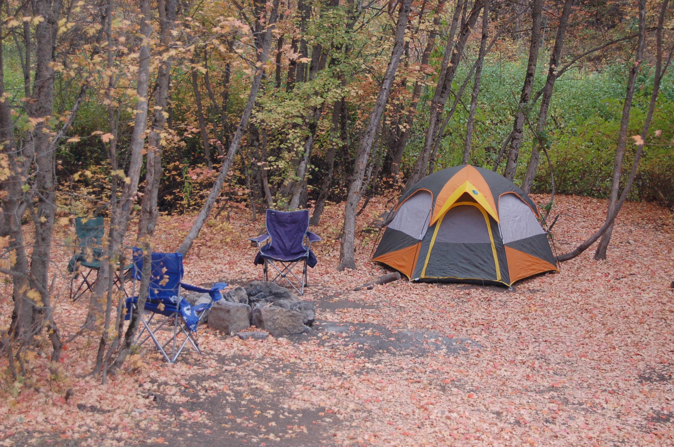
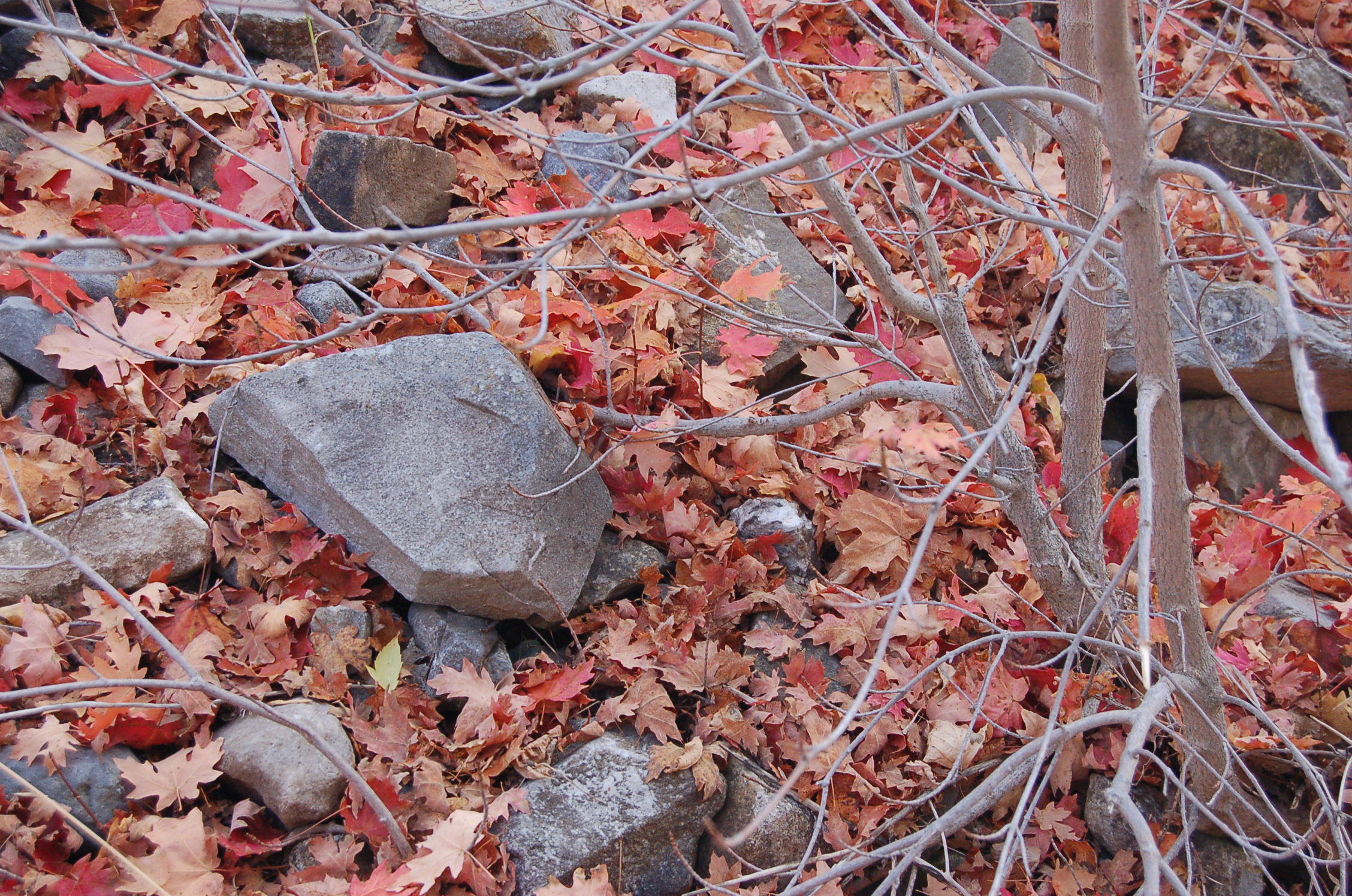
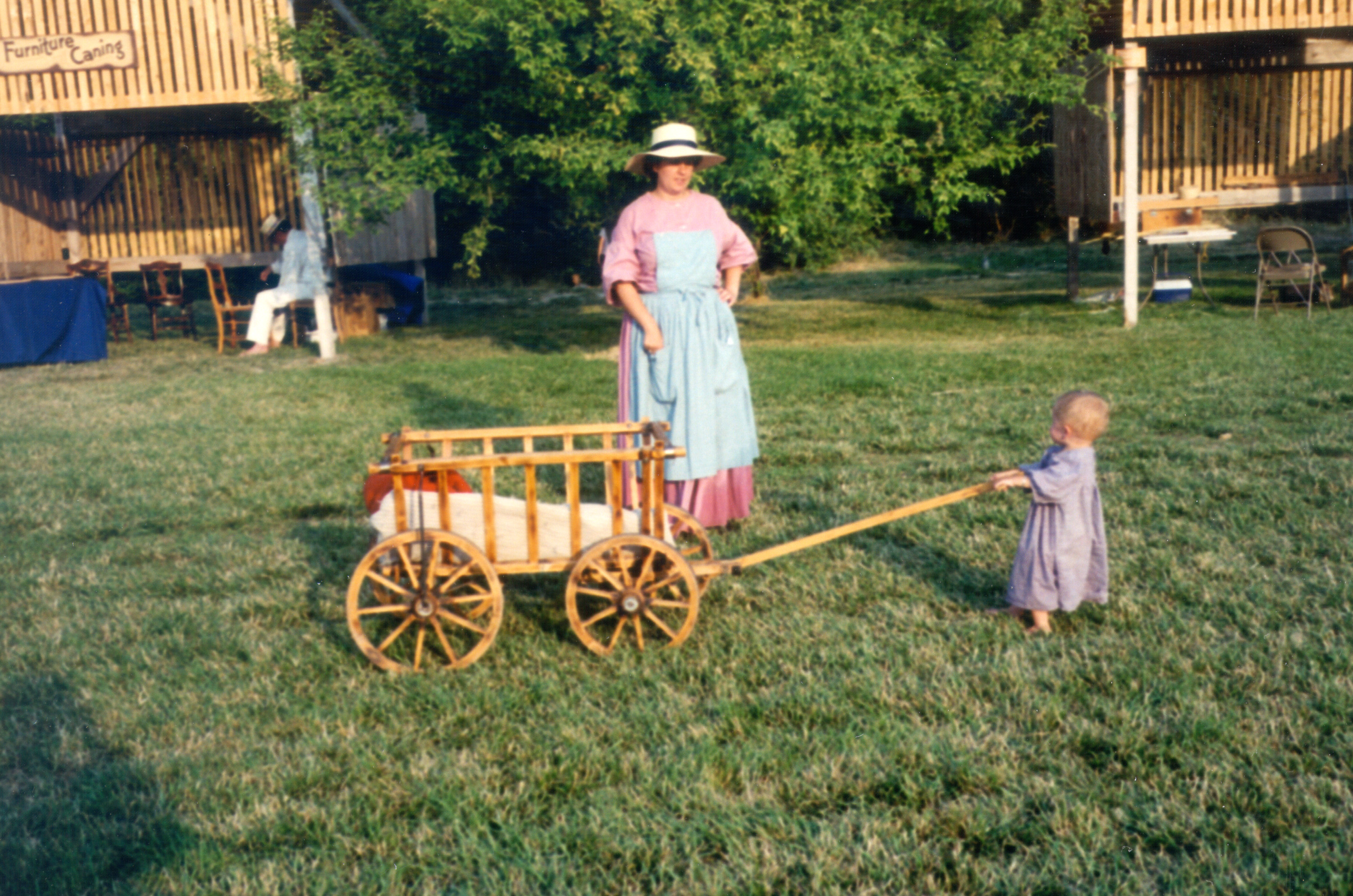
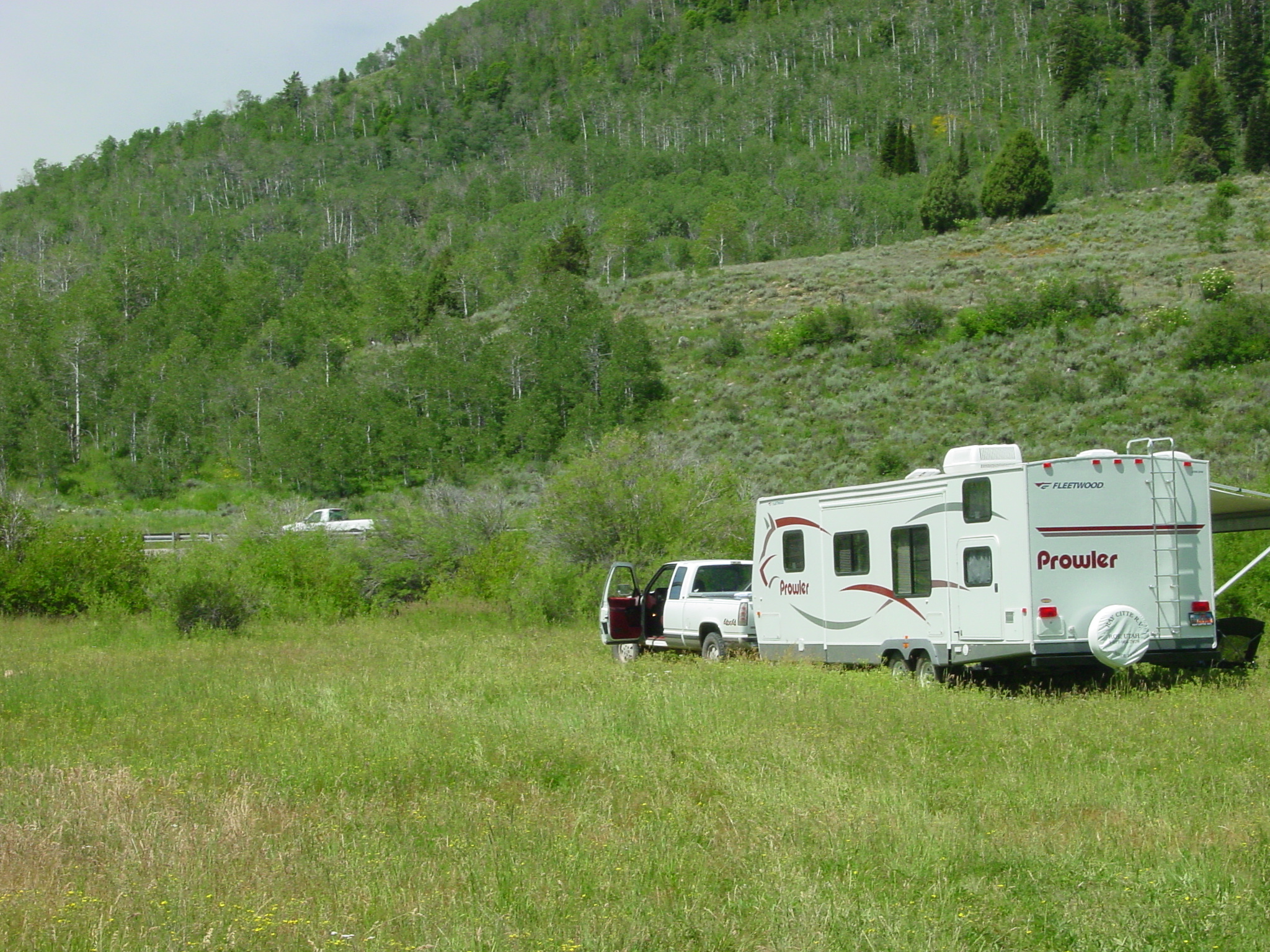
Red maple leaves coat the ground at a campsite in Right Hand Fork of Logan Canyon, where a tent and two chairs are ready for the approaching evening.
 © October 2010 A. E. Crane.
Download Original (2256 x 1496 pixels, 2310.5 MB)
-
-
-

-
-
-
-
-
-
-
-
-
-
-
-
-
-
-
-
-
-
-
-
-
-
-
-
-
-
-
-
-
-
-
-
-