
The Energy Loop: Huntington/Eccles Canyons Scenic Byway
All Photos (93)
-
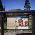
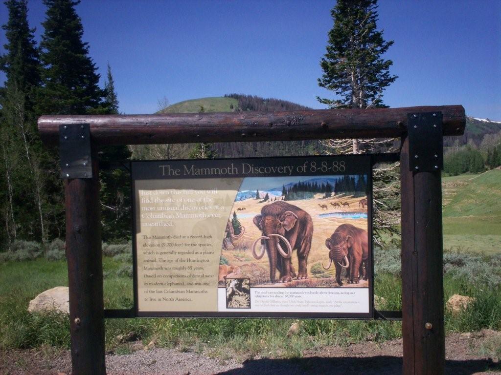
Information about Mammoths in Utah can be found on this sign on the Energy Loop Scenic Byway.
Public Domain.
Download Original (1024 x 768 pixels, 132.7 KB)
-
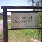
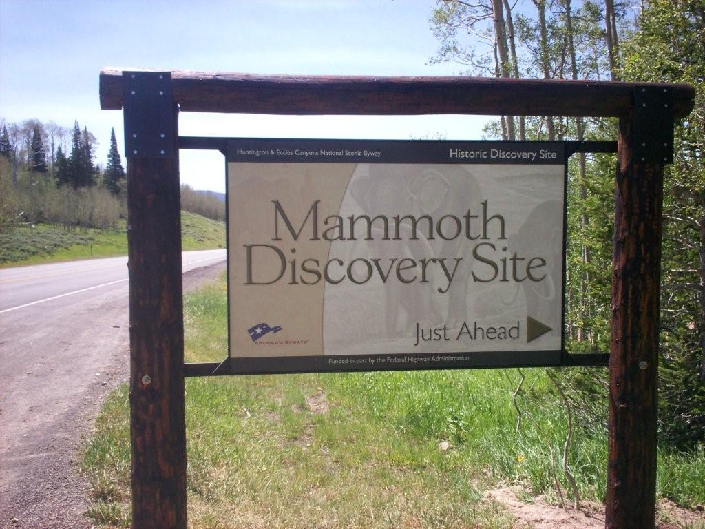
A new sign found along the Energy Loop in Utah points visitors to the Mammoth Discovery Site.
Public Domain.
Download Original (1024 x 768 pixels, 148.5 KB)
-
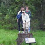
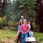
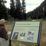
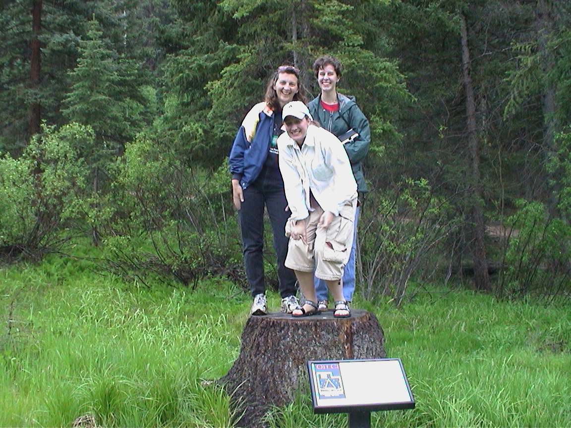
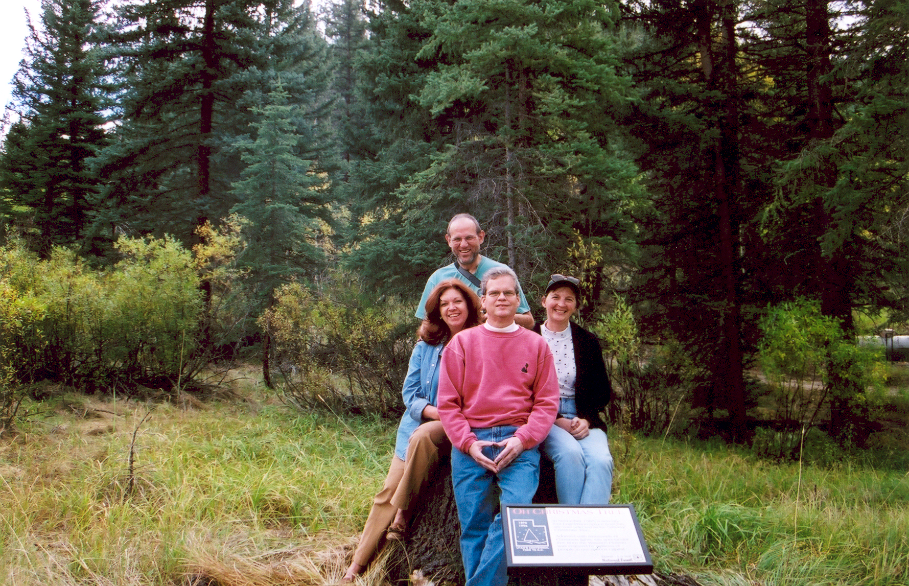
Angel, Leslie, and Carrie stand on the National Christmas Tree stump for 1995 at the Stuart Guard Station on the Energy Loop.
Public Domain. Photo by S. Clyde
Download Original (1152 x 864 pixels, 539.6 KB)
-
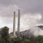
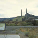
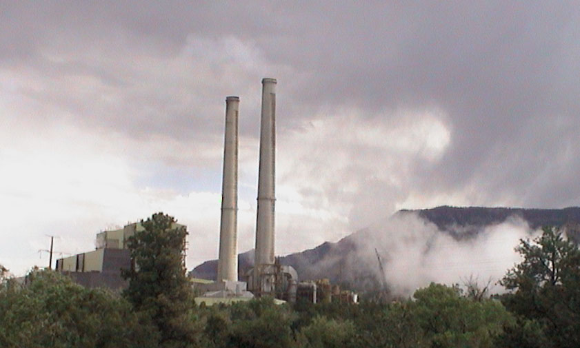
The Huntington Power Plant among green foliage and rainclouds on the Energy Loop.
Public Domain. Photo by S. Clyde
Download Original (841 x 505 pixels, 71.1 KB)
-
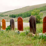
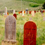
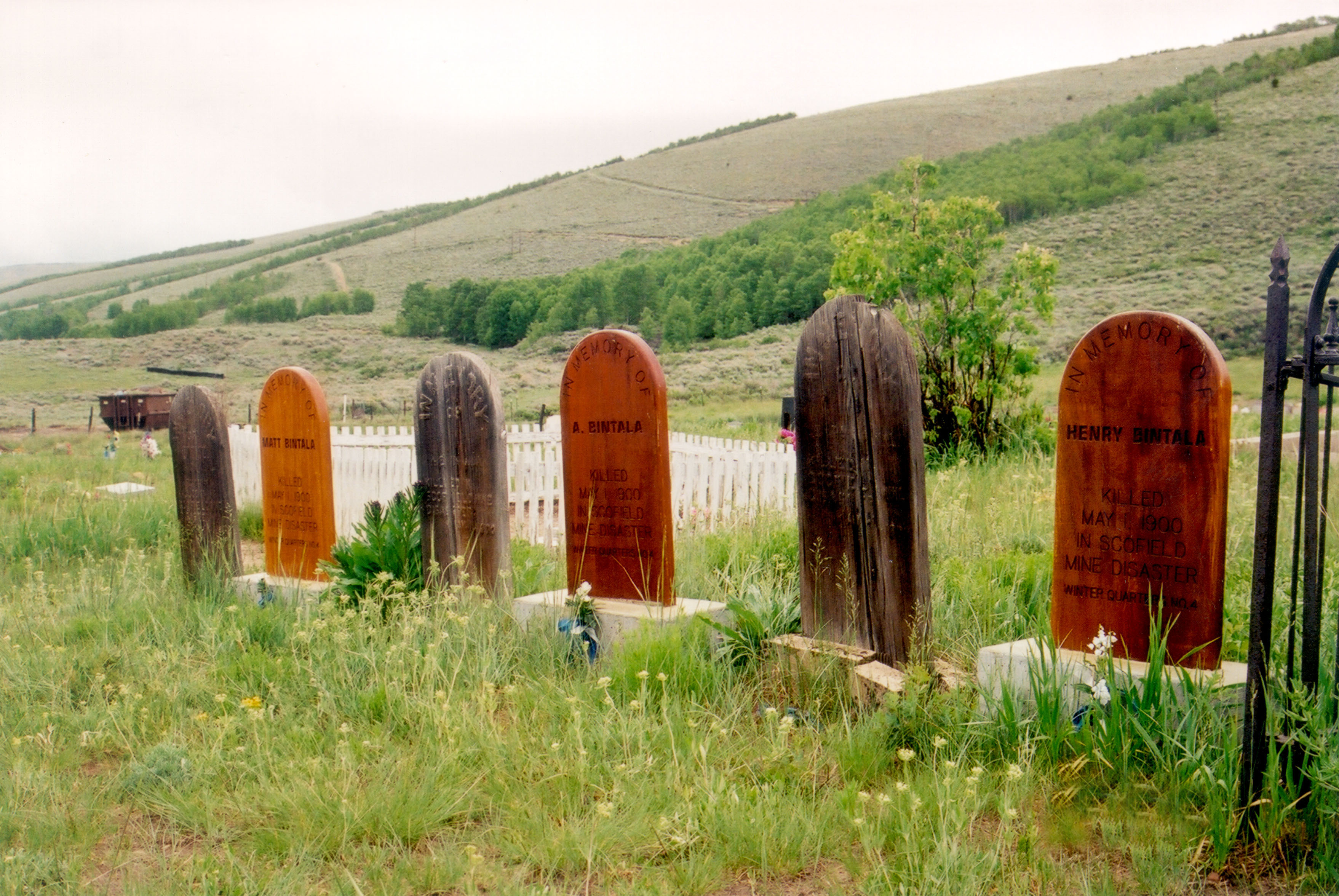
A tragedy in triplicate lives on in the ancient wooden gravemarkers at Scofield Cemetery.
Public Domain. Photo by A. E. Crane
Download Original (3516 x 2354 pixels, 1287.8 MB)
-
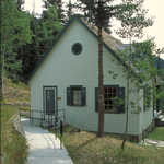
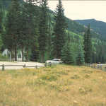
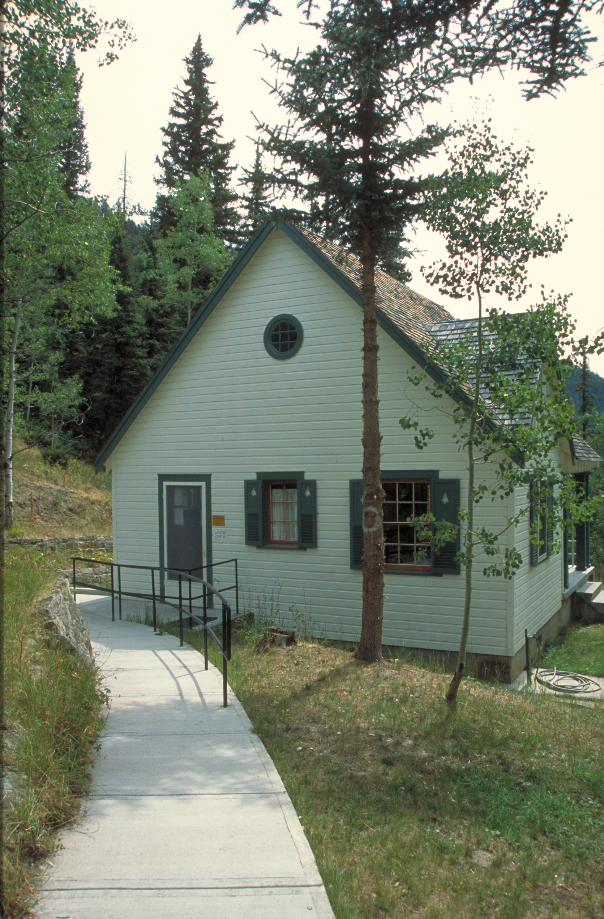
The Stuart Guard Station still stands watch on The Energy Loop: Huntington/Eccles Canyons Scenic Byway.
Public Domain. Photo by S. Clyde
Download Original (1152 x 864 pixels, 565.0 KB)
-
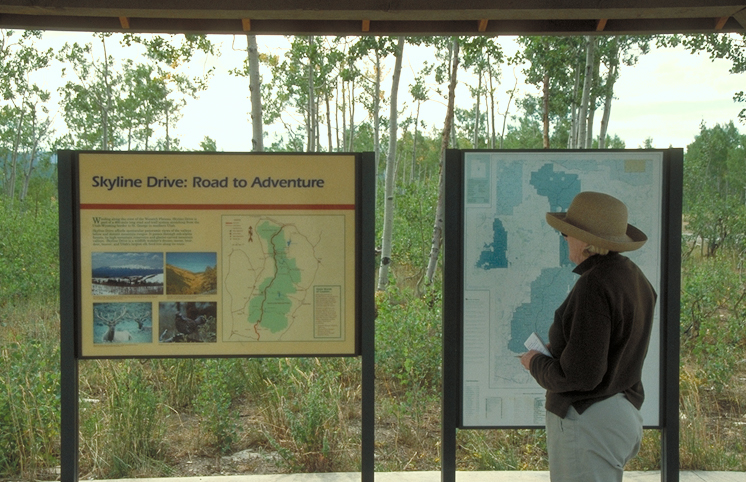
A visitor reads about off-roading on the Skyline Drive.
Public Domain. Photo by Dennis Adams of FHWA
Download Original (746 x 482 pixels, 409.5 KB)
-
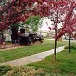
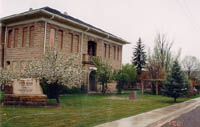
Spring rains glisten on the sidewalks near the Fairview Museum of History and Art.
Public Domain. Photo by A. E. Crane
Download Original (200 x 127 pixels, 13.7 KB)
-
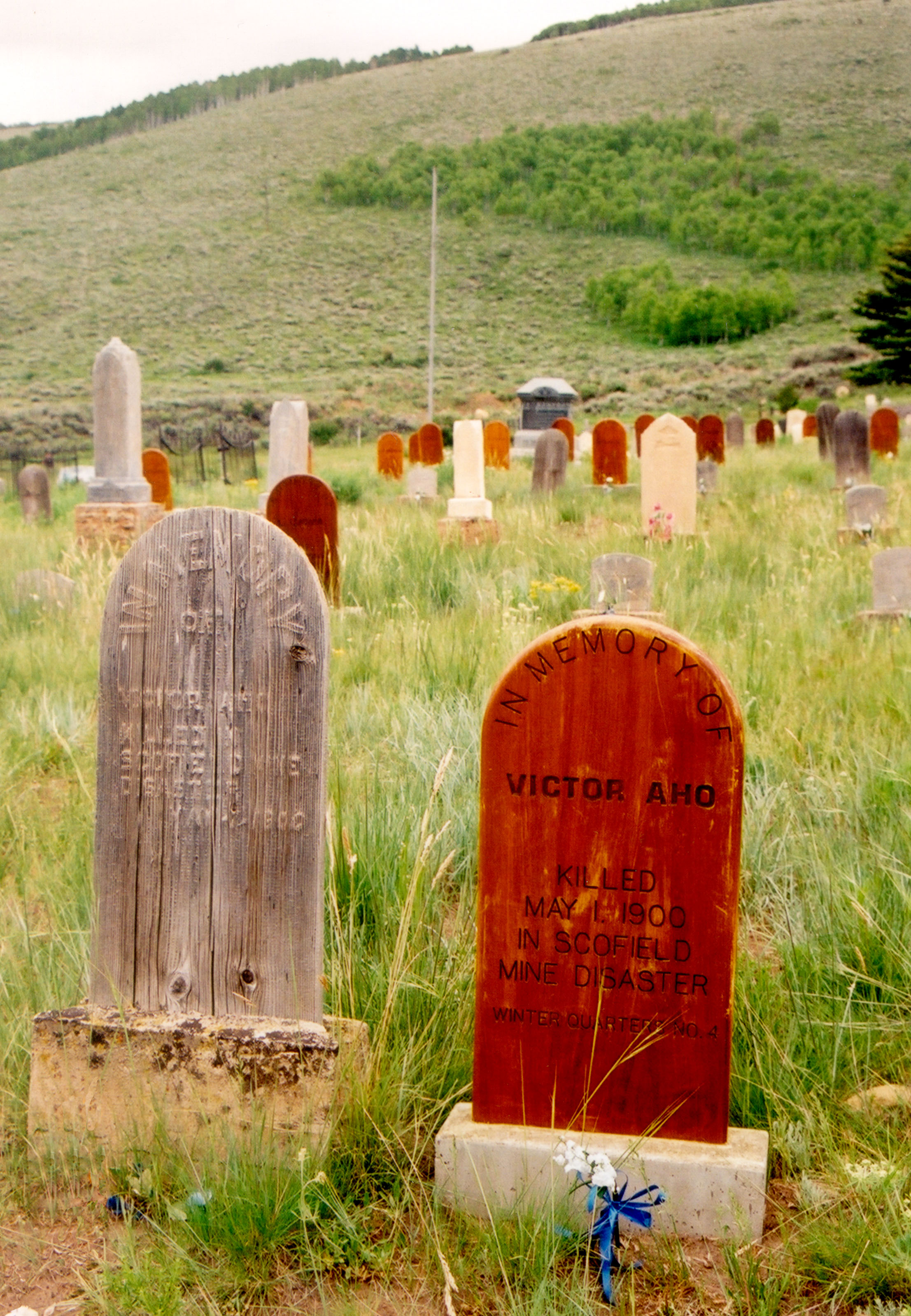
Two headstones stand side by side-- the old and the new both for the same man killed in the Scofield Mining Disaster.
Public Domain. Photo by A. E. Crane
Download Original (2213 x 3198 pixels, 1156.8 MB)
-
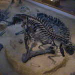
A skeletal replica of the Giant Ground Sloth that existed during the last Ice Age in the area of The Energy Loop: Huntington/Eccles Canyons Scenic Byway.
© 2001 Carrie Farmer.
Download Original (3108 x 2322 pixels, 1295.1 MB)
-
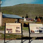
Informative signs near Scofield tell about the mining disaster of May 1900.
Public Domain. Photo by A. E. Crane
Download Original (200 x 130 pixels, 15.7 KB)
-
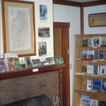
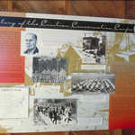
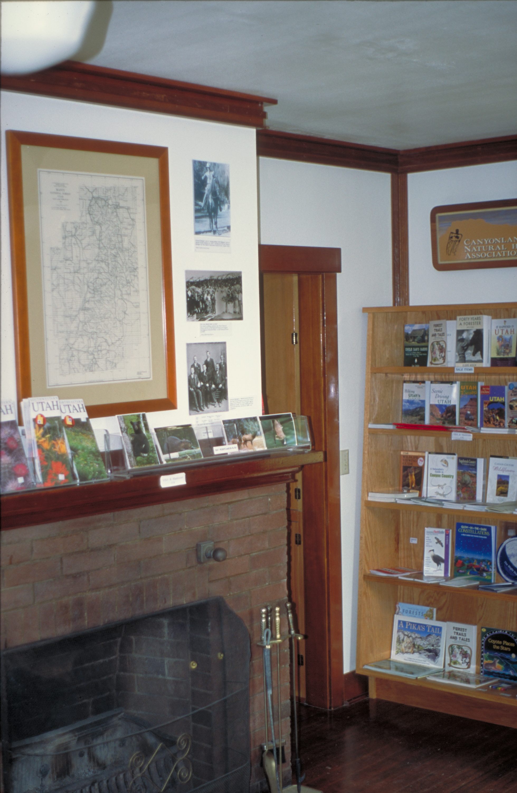
Historic photos, maps and other items wait above a fireplace and on shelves to tell the story of the Stuart Guard Station and the Manti-La Sal National Forest.
Public Domain. Photo by Dennis Adams
Download Original (1959 x 3006 pixels, 3684.3 MB)
-
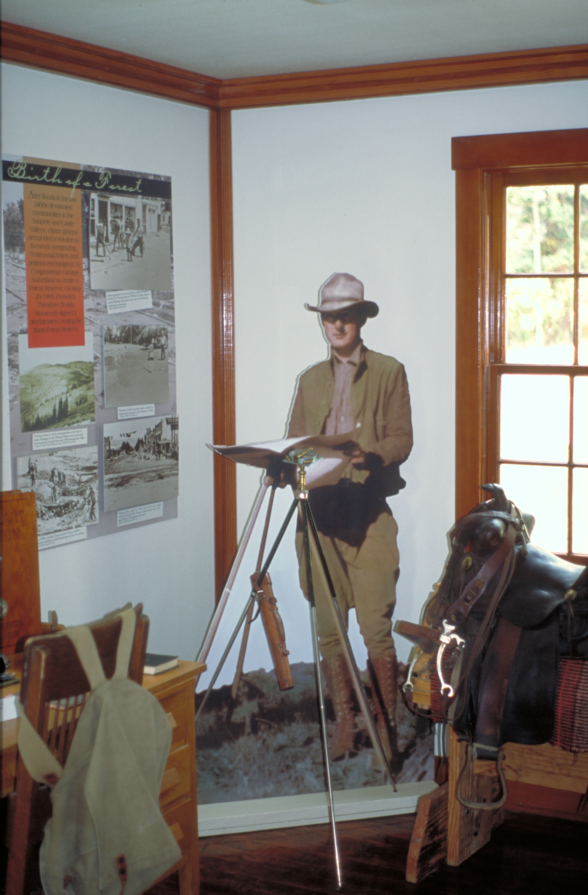
A display inside the Stuart Guard Station depicts the hard and adventurous life of a forest ranger in the early days of the Manti and La Sal Forests of Utah.
Public Domain. Photo by Dennis Adams
Download Original (1953 x 2970 pixels, 3492.1 MB)
-
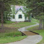
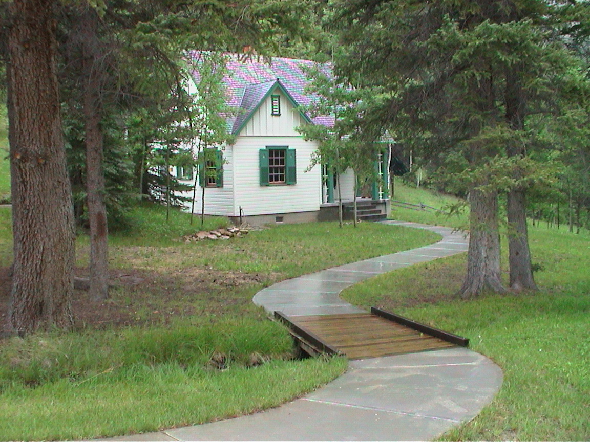
A nice sidewalk provides access to the Stuart Guard Station.
Public Domain. Photo by Dennis Adams
Download Original (1953 x 2970 pixels, 4413.1 MB)
-
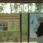
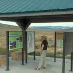
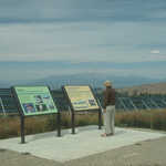
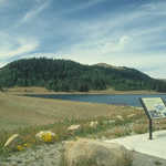
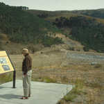
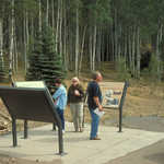
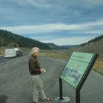
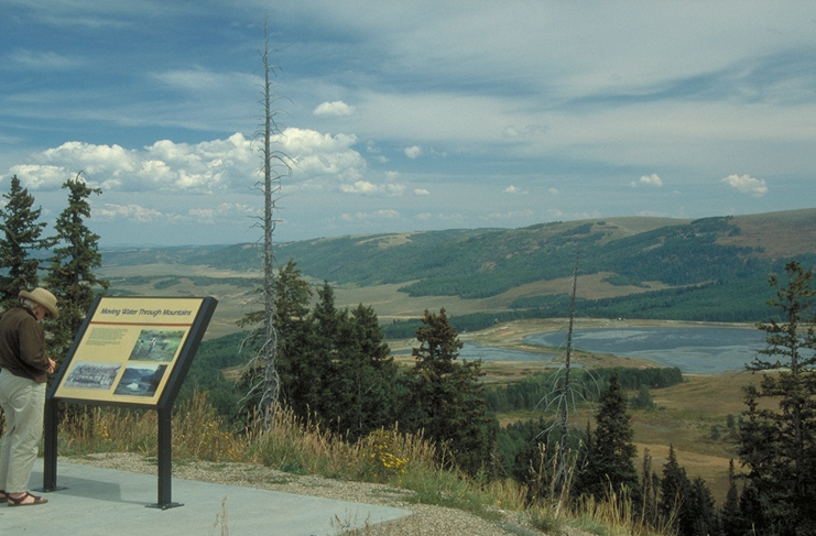
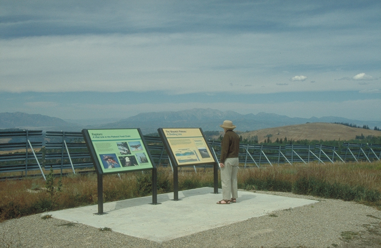
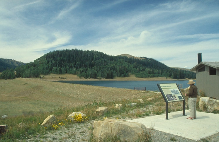
A visitor studies an interpretive sign which overlooks Electric Lake surrounded by trees and rolling hills.
Public Domain. Photo by Dennis Adams of FHWA
Download Original (741 x 487 pixels, 334.0 KB)
-
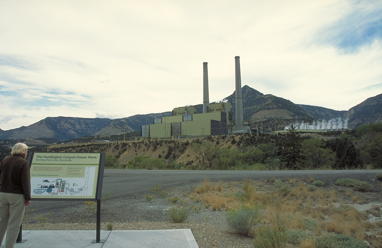
A visitor reads about energy production in Huntington Canyon, near the Huntington Power Plant.
Public Domain. Photo by Dennis Adams of FHWA
Download Original (747 x 485 pixels, 273.8 KB)
-
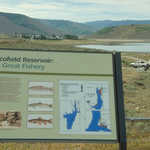
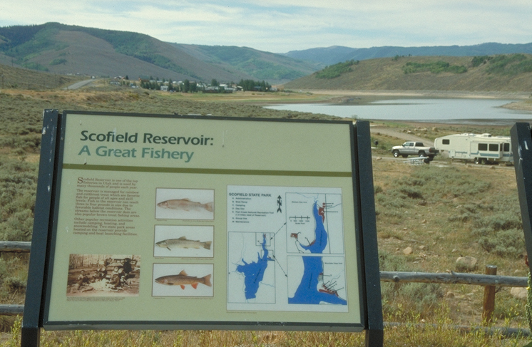
Beyond this sign panel entitled "Scofield Reservoir: A Great Fishery" lies Scofield Lake surrounded by rocky mountaintops dry with summer.
Public Domain. Photo by Dennis Adams of FHWA
Download Original (746 x 487 pixels, 328.9 KB)
-
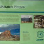
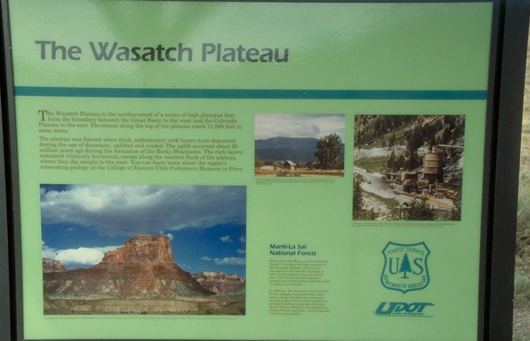
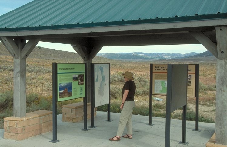
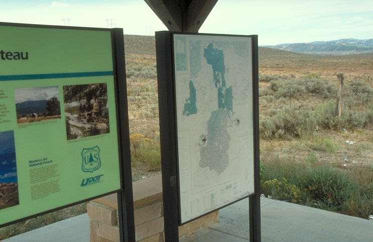
Photos illustrate this information sign about the Wasatch Plateau in this closeup photo.
Public Domain. Photo by Dennis Adams of FHWA
Download Original (752 x 484 pixels, 312.8 KB)
-
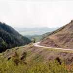
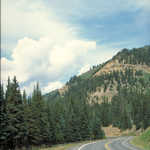
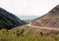
The Energy Loop: Huntington/Eccles Canyons Scenic Byway winds its way through Utah mountains.
Public Domain. Photo by A. E. Crane
Download Original (200 x 138 pixels, 15.1 KB)
-
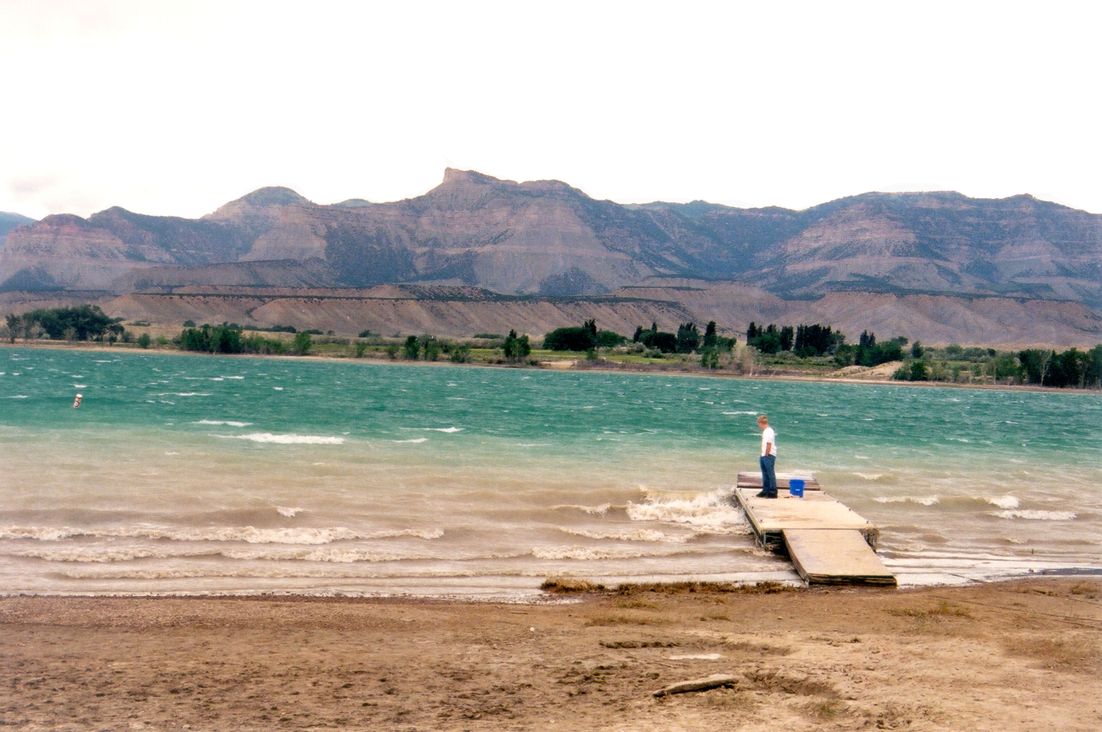
A young fisherman braves the strong winds on the reservoir at Huntington State Park on the Energy Loop.
Public Domain. Photo by A. E. Crane
Download Original (3528 x 2344 pixels, 1107.7 MB)
-
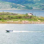
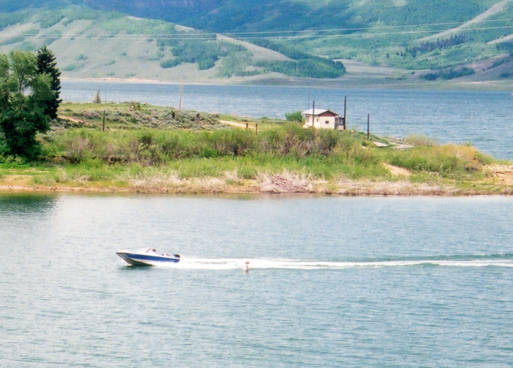
A boat races across an inlet of the Scofield Reservoir on the Energy Loop.
Public Domain. Photo by A. E. Crane
Download Original (1793 x 1289 pixels, 364.7 KB)
-
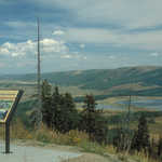
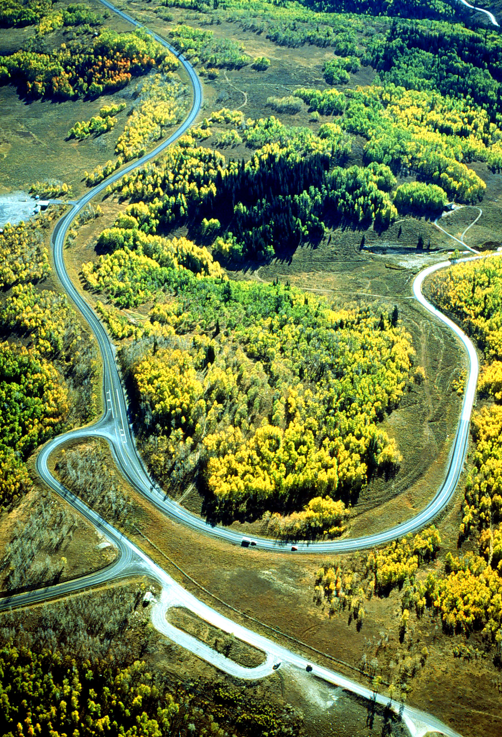
At the top of the Wasatch Plateau, two of the three roadways that make up The Energy Loop: Huntington/Eccles Canyons Scenic Byway. The area has tremendous 360 degree views of mountain ranges and valleys in all directions, some as far as 100 miles away.
© 1999 Energy Loop Scenic Byway Committee.
Download Original (1640 x 2404 pixels, 1358.7 MB)
-
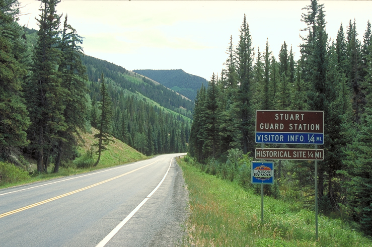
Byway and highway signs along The Energy Loop: Huntington/Eccles Canyons Scenic Byway alert travelers to the upcoming Stuart Guard Station and other features. Pine trees tower along the roadside.
Public Domain. Photo by Dennis Adams of FHWA
Download Original (739 x 491 pixels, 402.6 KB)
-
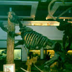
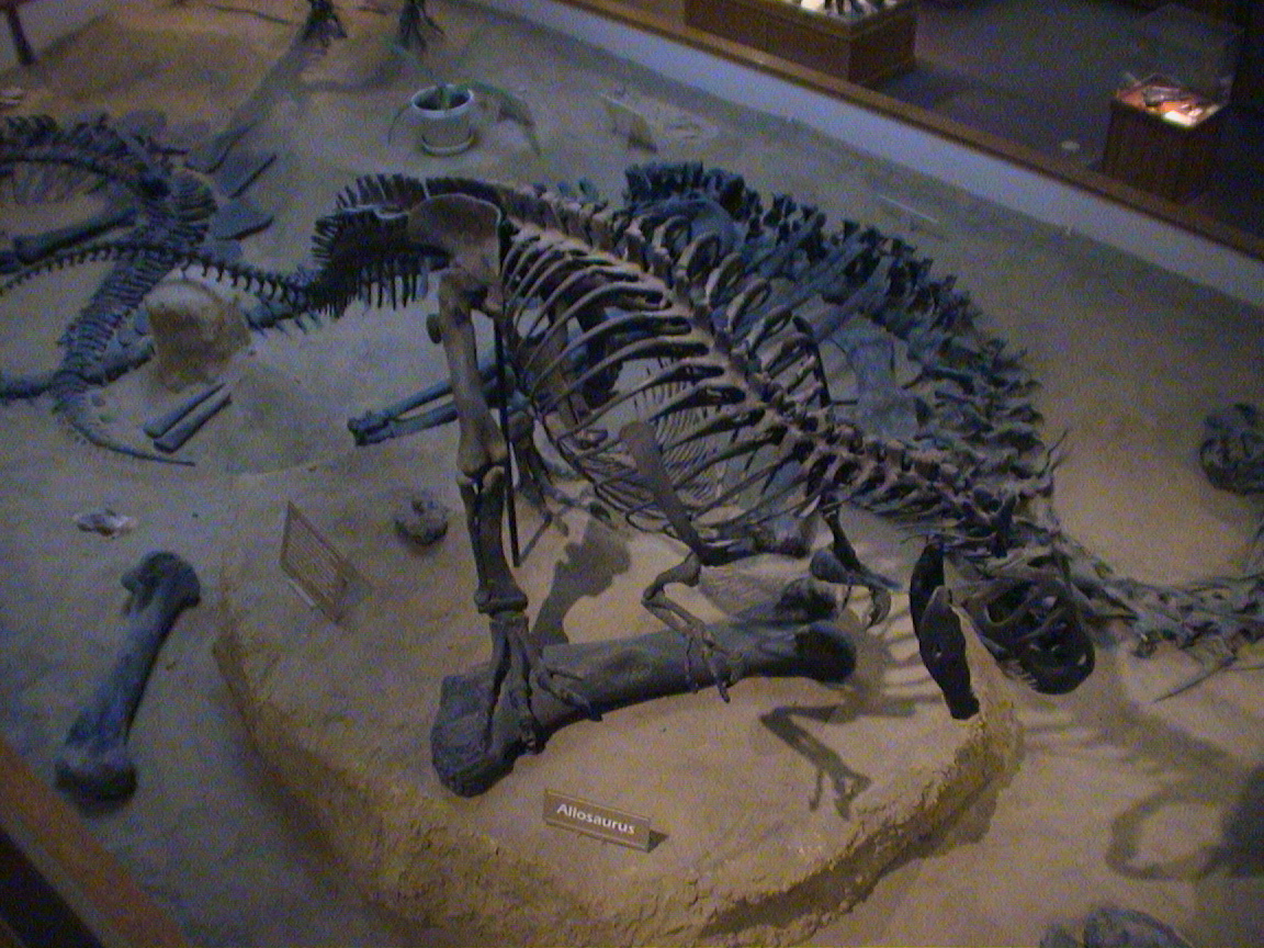
The Allosaurus skeleton and other dinosaur bones at the CEU Prehistoric Museum.
Public Domain. Photo by S. Clyde
Download Original (1152 x 864 pixels, 578.4 KB)
-
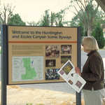
Visitor reads the Huntington entrance kiosk on The Energy Loop: Huntington/Eccles Canyons Scenic Byway.
Public Domain. Photo by Dennis Adams
Download Original (749 x 487 pixels, 329.1 KB)
-
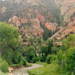
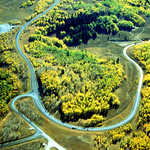
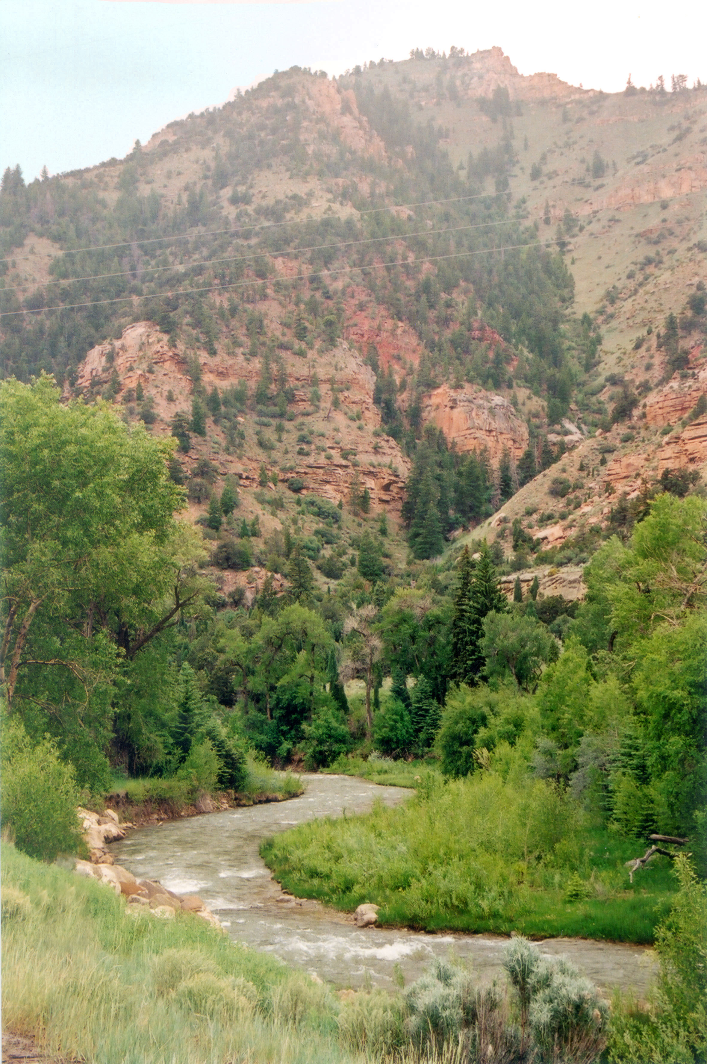
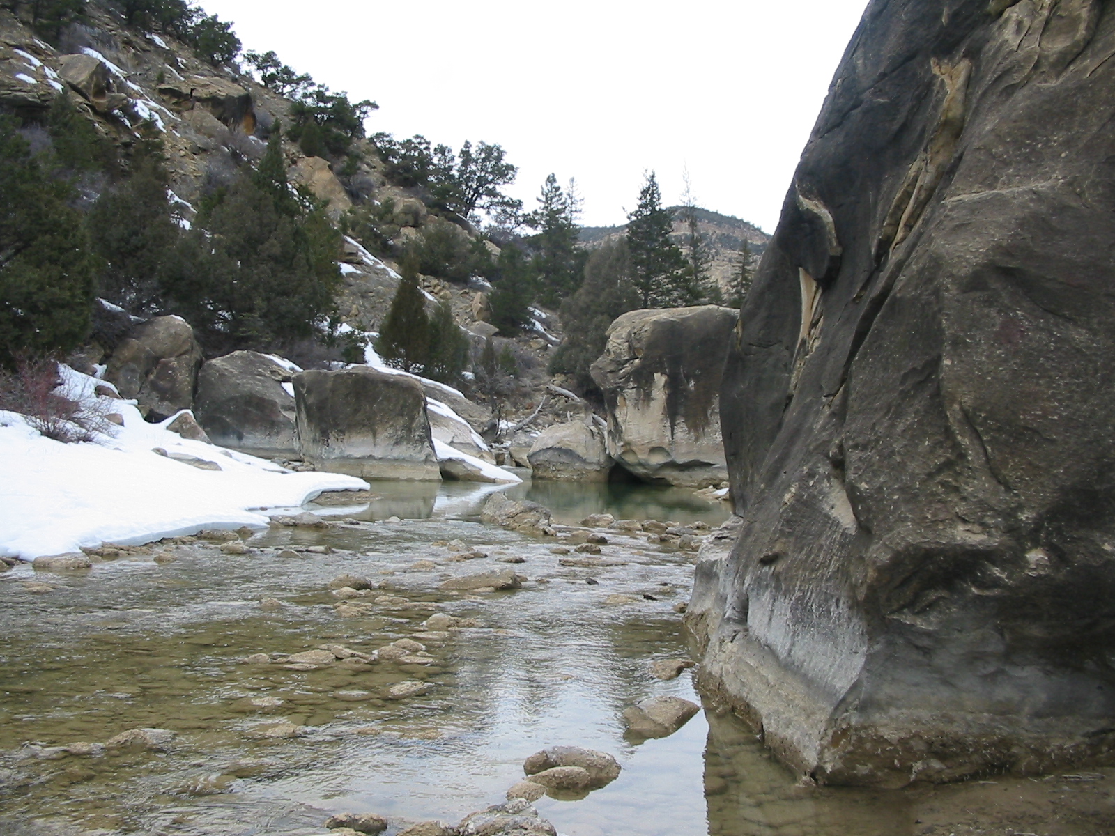
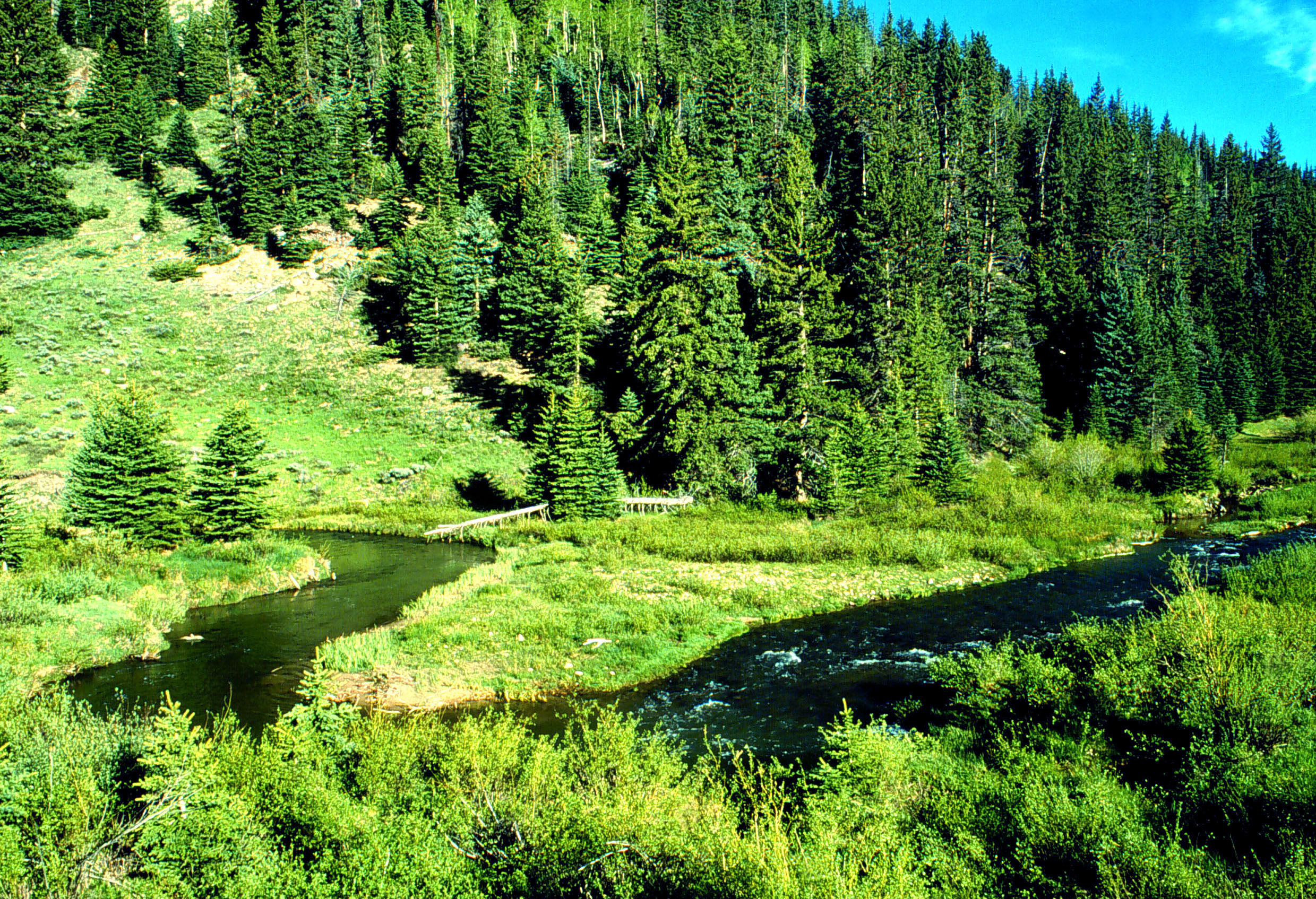
The Huntington River's spring flow underneath the sparsely forested canyon walls near the east end of Huntington Canyon.
Public Domain. Photo by A. E. Crane
Download Original (2361 x 3553 pixels, 1337.2 MB)
-
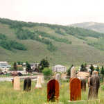
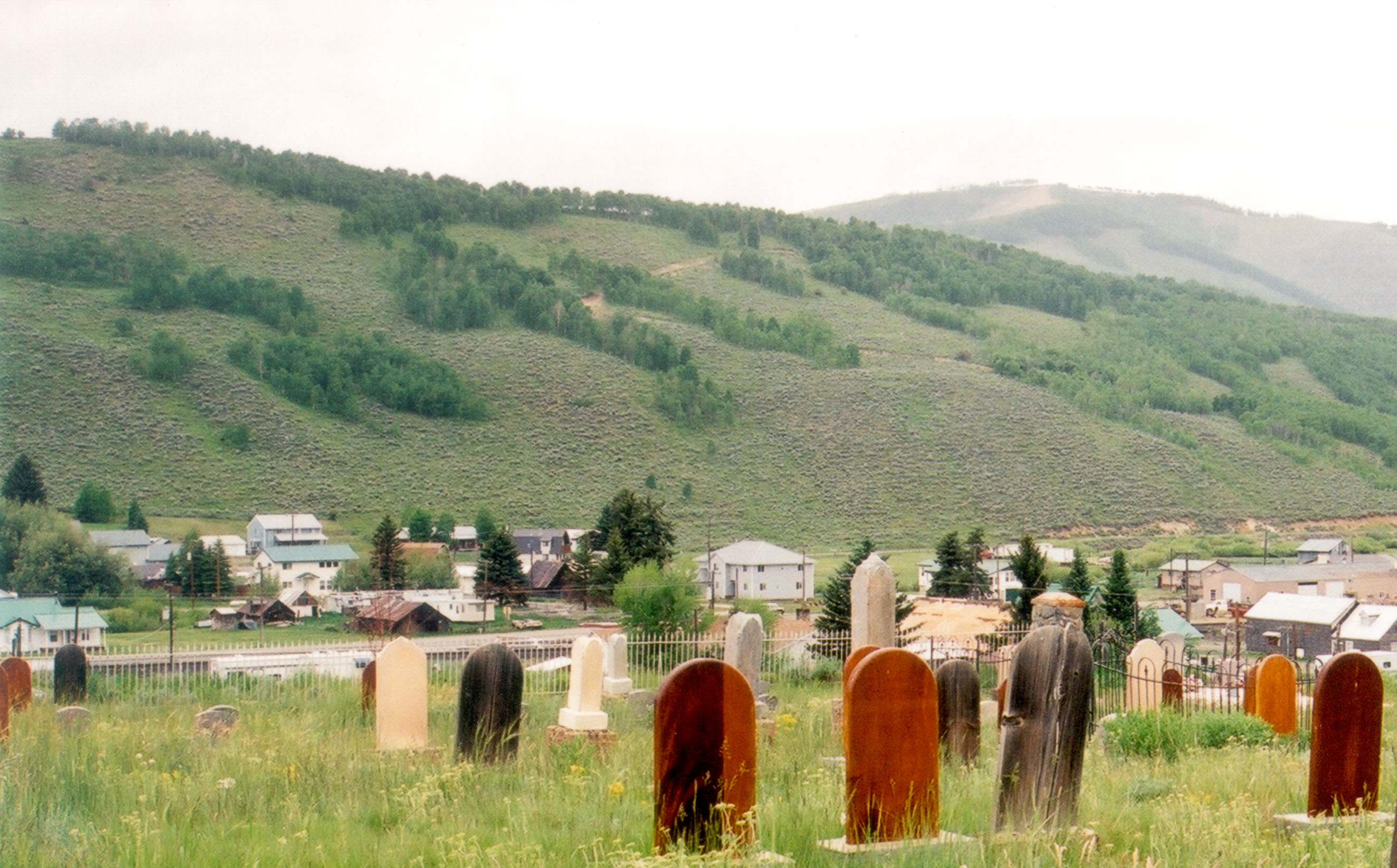
The Scofield Cemetery sits on a small hill above the town of Scofield.
Public Domain. Photo by A. E. Crane
Download Original (2644 x 1643 pixels, 636.2 KB)
-

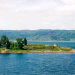
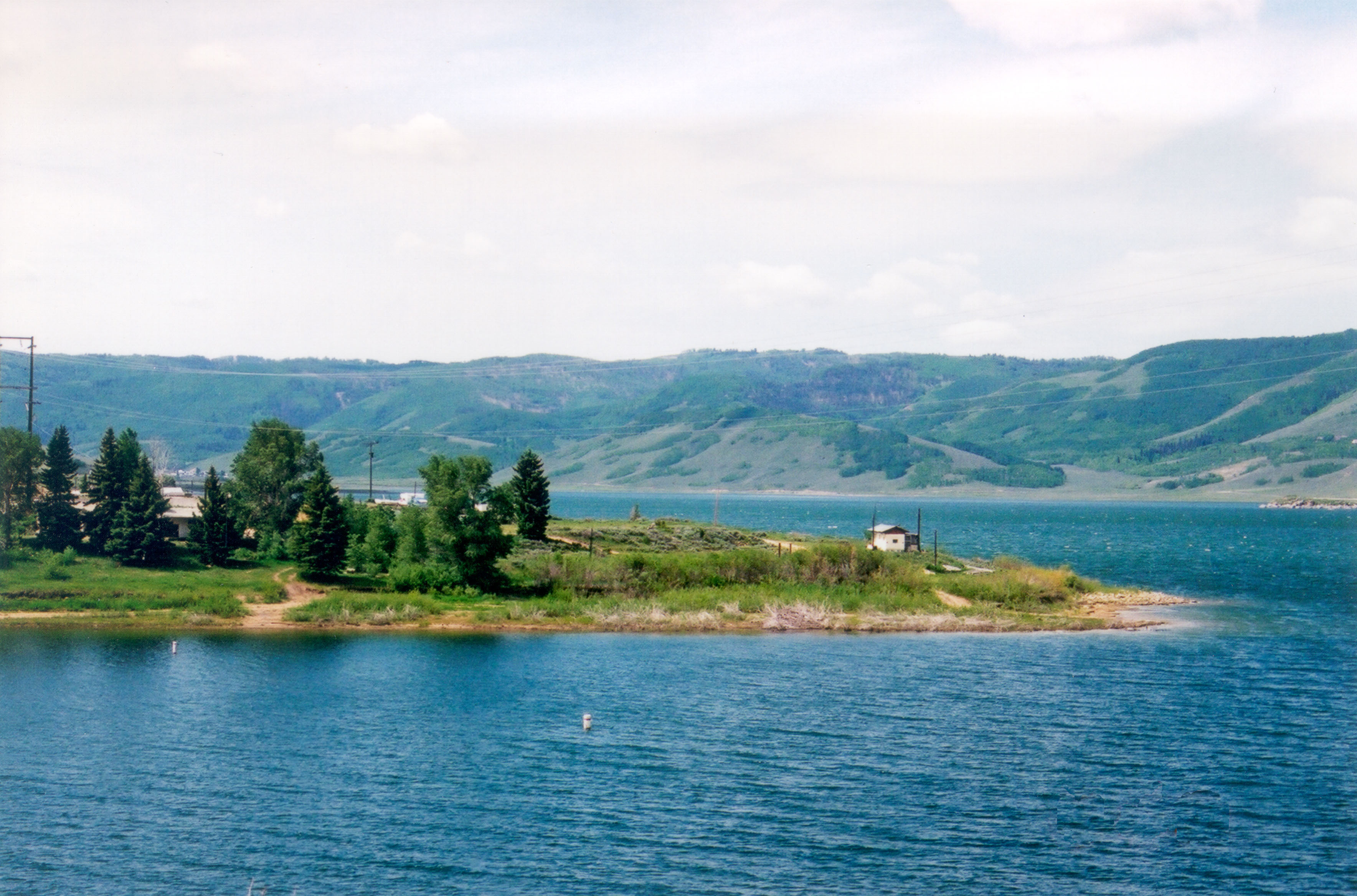
Bright blues describe this little bay of the Scofield Reservoir on the Energy Loop.
Public Domain. Photo by A. E. Crane
Download Original (3536 x 2336 pixels, 991.2 KB)
-
The Energy Loop: Huntington/Eccles Canyons Scenic Byway Entrance Kiosk is located at Huntington with the mountains of Huntington Canyon beyond.
Public Domain. Photo by Dennis Adams
Download Original (749 x 487 pixels, 346.1 KB)
-
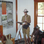
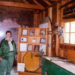
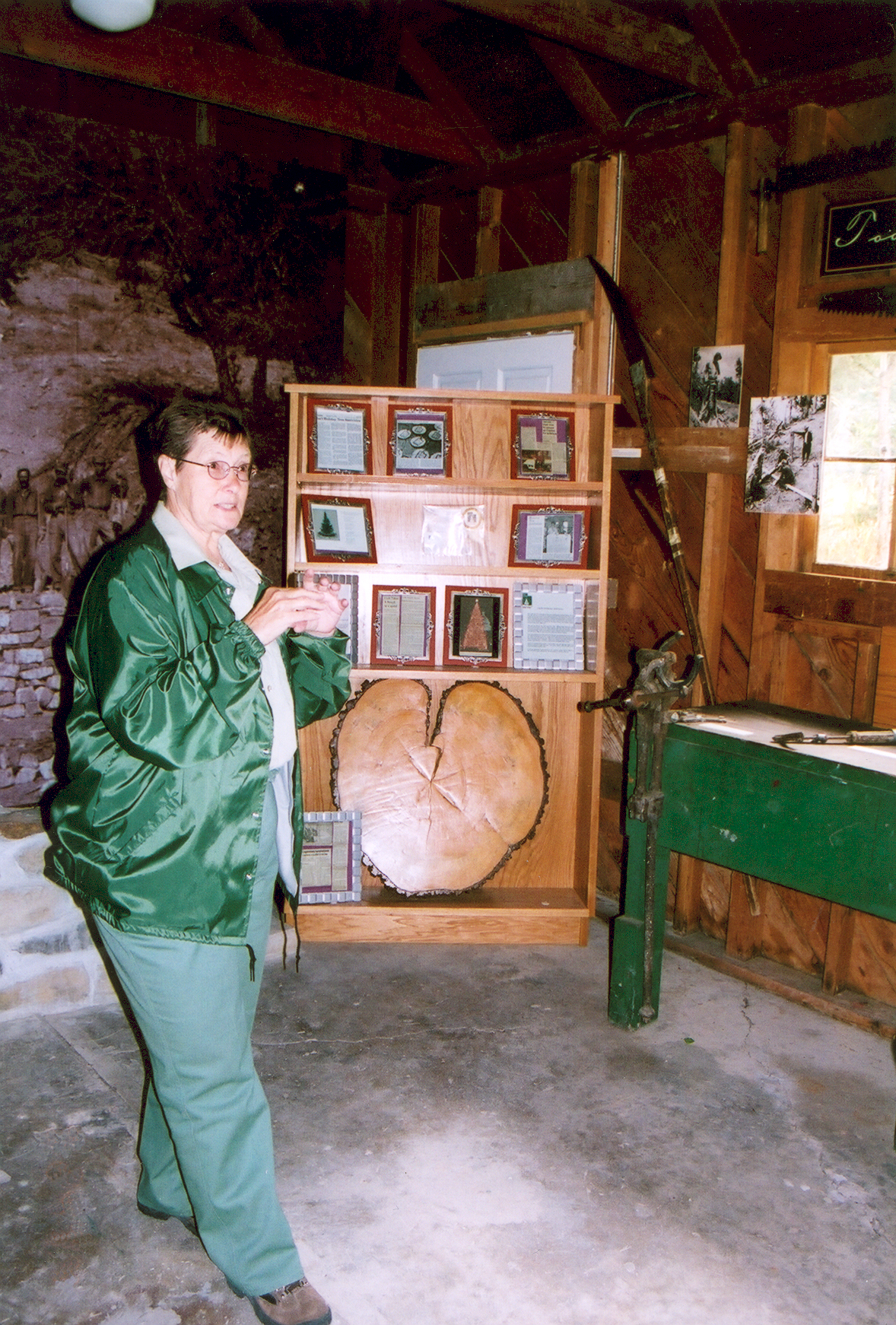
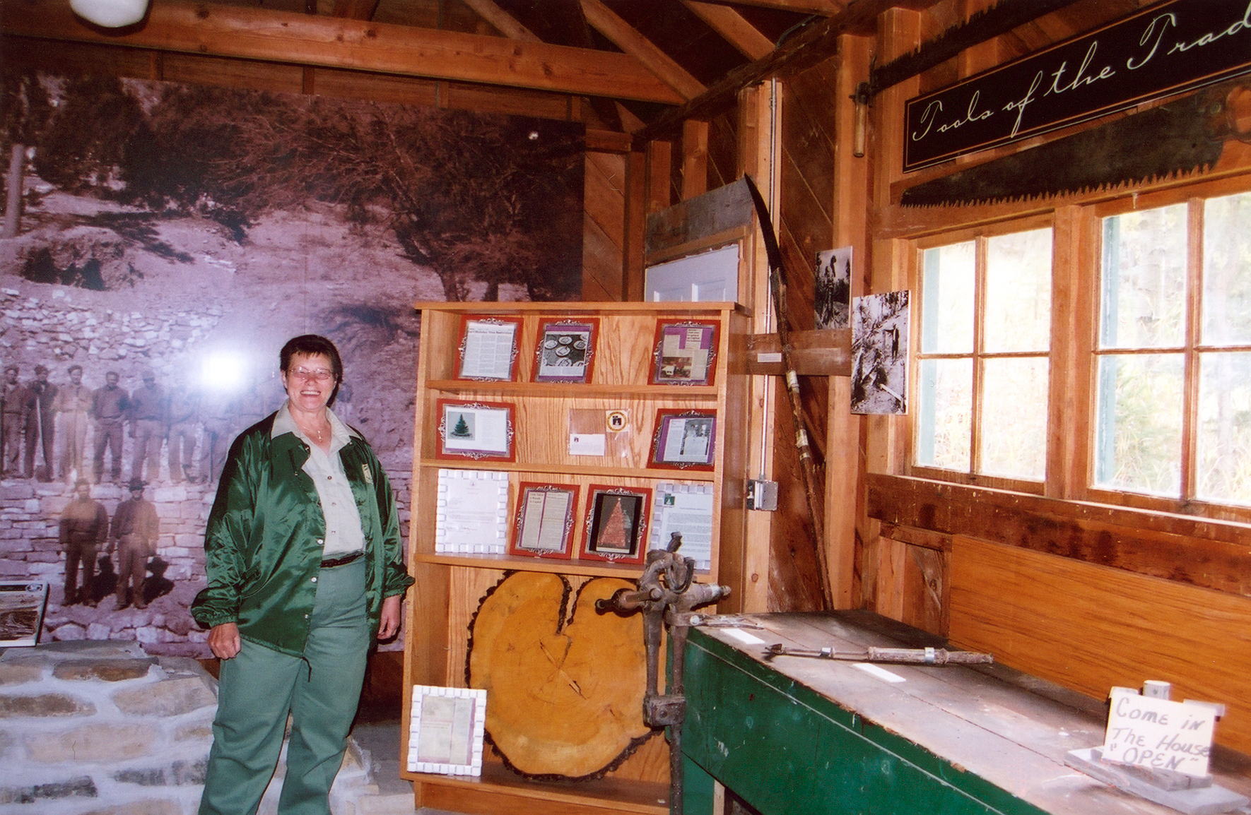
A USDA Forest Ranger discusses an exhibit at the Stuart Guard Station.
Public Domain. Photo by A. E. Crane
Download Original (1178 x 1742 pixels, 2791.7 MB)
-

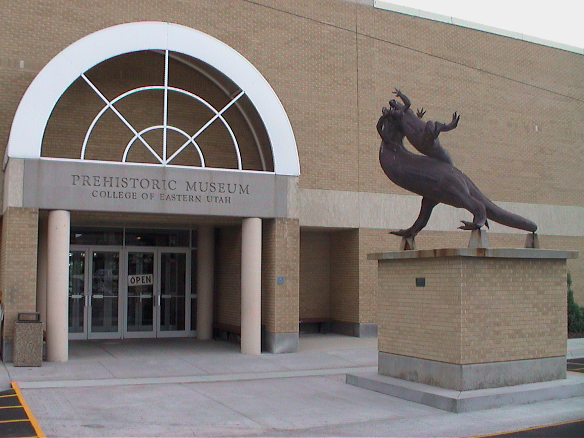
Entering the College of Eastern Utah Prehistoric Museum in Price, Utah, transports visitors to another time.
Public Domain. Photo by S. Clyde
Download Original (1152 x 864 pixels, 533.5 KB)
-
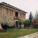
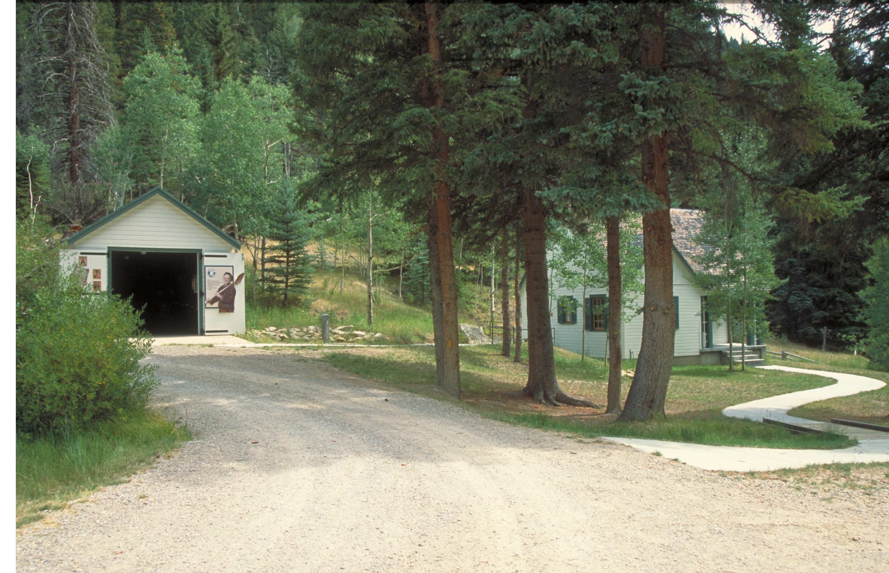
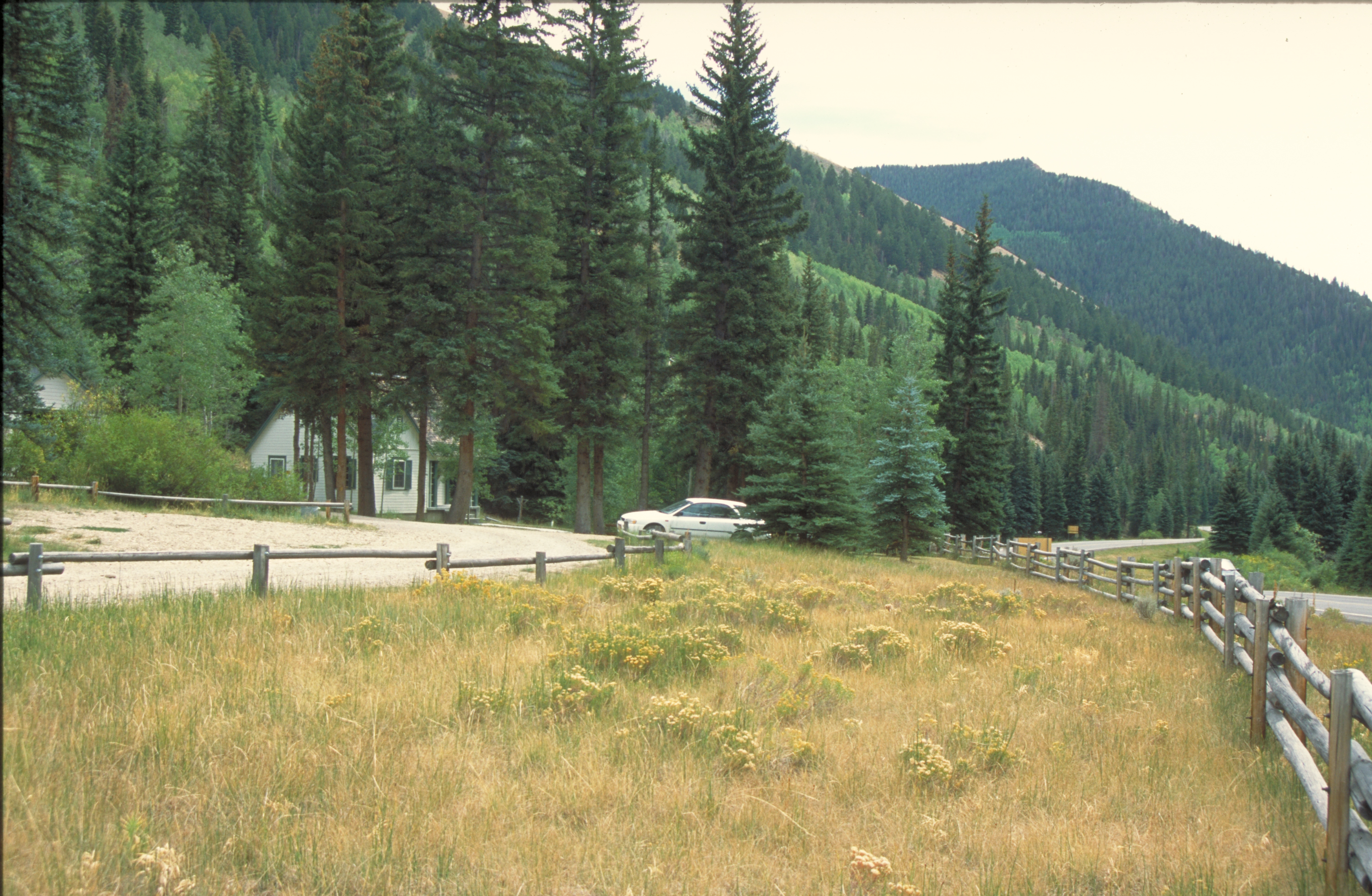
Trees line the driveway and rise behind the grounds of the Stuart Guard Station in summer.
Public Domain. Photo by Dennis Adams
Download Original (3030 x 1953 pixels, 4555.4 MB)
-
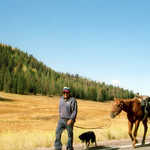
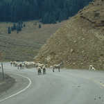
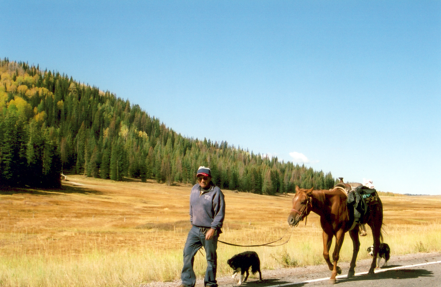
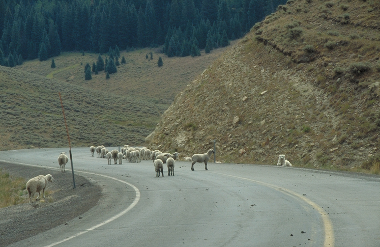
A shepherd follows his flock on U-96.
Public Domain. Photo by A. E. Crane
Download Original (1761 x 1147 pixels, 2430.0 MB)
-
A USDA Forest Ranger presents Tools of the Trade at the Stuart Guard Station.
Public Domain. Photo by A. E. Crane
Download Original (1770 x 1154 pixels, 2583.5 MB)
-
A group of visitors pose on the National Christmas Tree Stump at Stuart Guard Station.
Public Domain. Photo by A. E. Crane
Download Original (1779 x 1147 pixels, 3085.4 MB)
-
A cloudy sky presides over a late summer view of the approach and grounds of Stuart Guard Station along The Energy Loop: Huntington/Eccles Canyons Scenic Byway.
Public Domain. Photo by Dennis Adams
Download Original (3000 x 1959 pixels, 4361.7 MB)
-
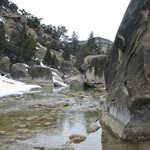
A wafer-thin layer of ice covers much of the creek descending through massive boulders from Joes Valley Reservoir.
© March 2005 Matt Howard.
Download Original (1600 x 1200 pixels, 984.2 KB)
-
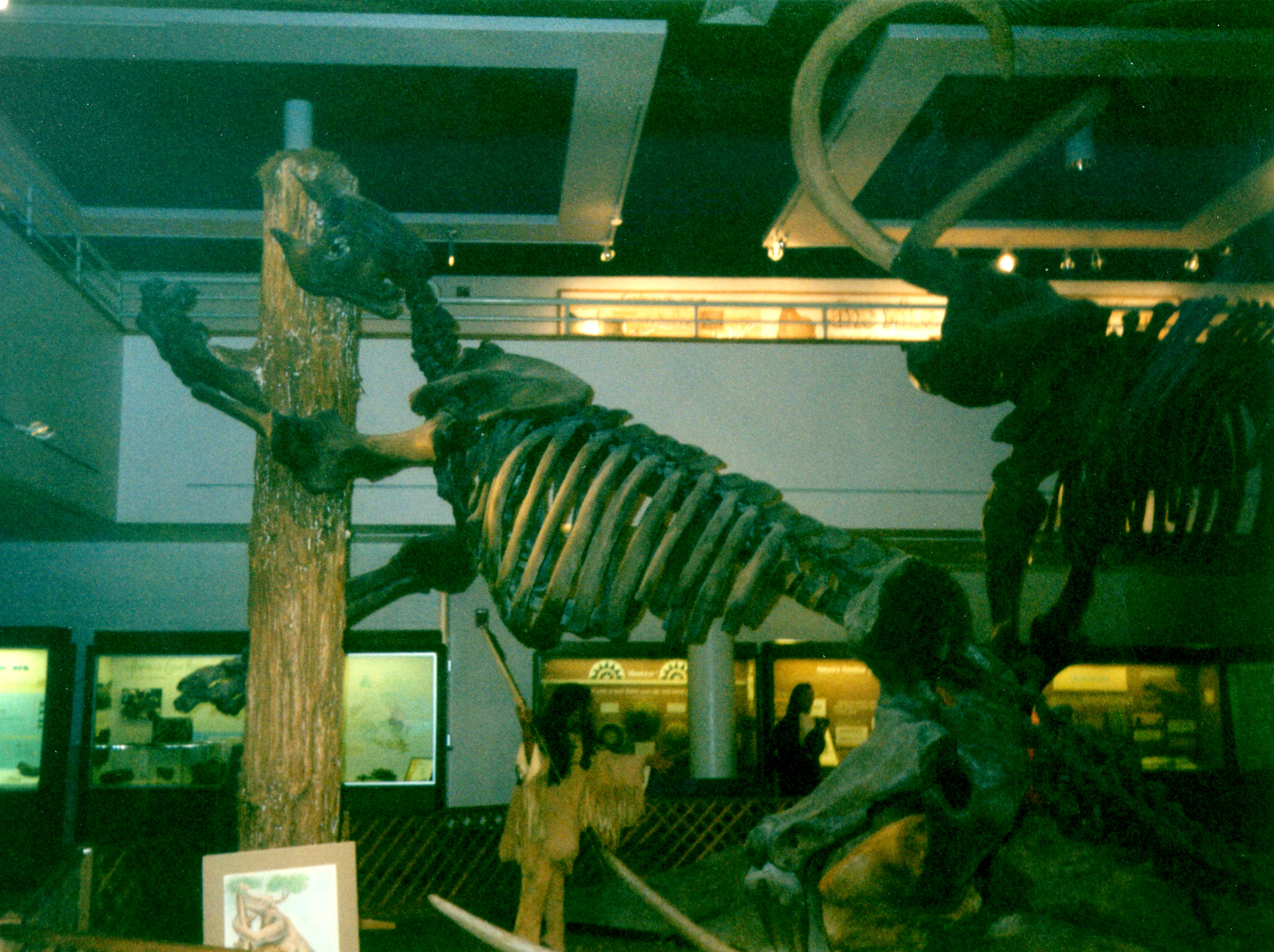
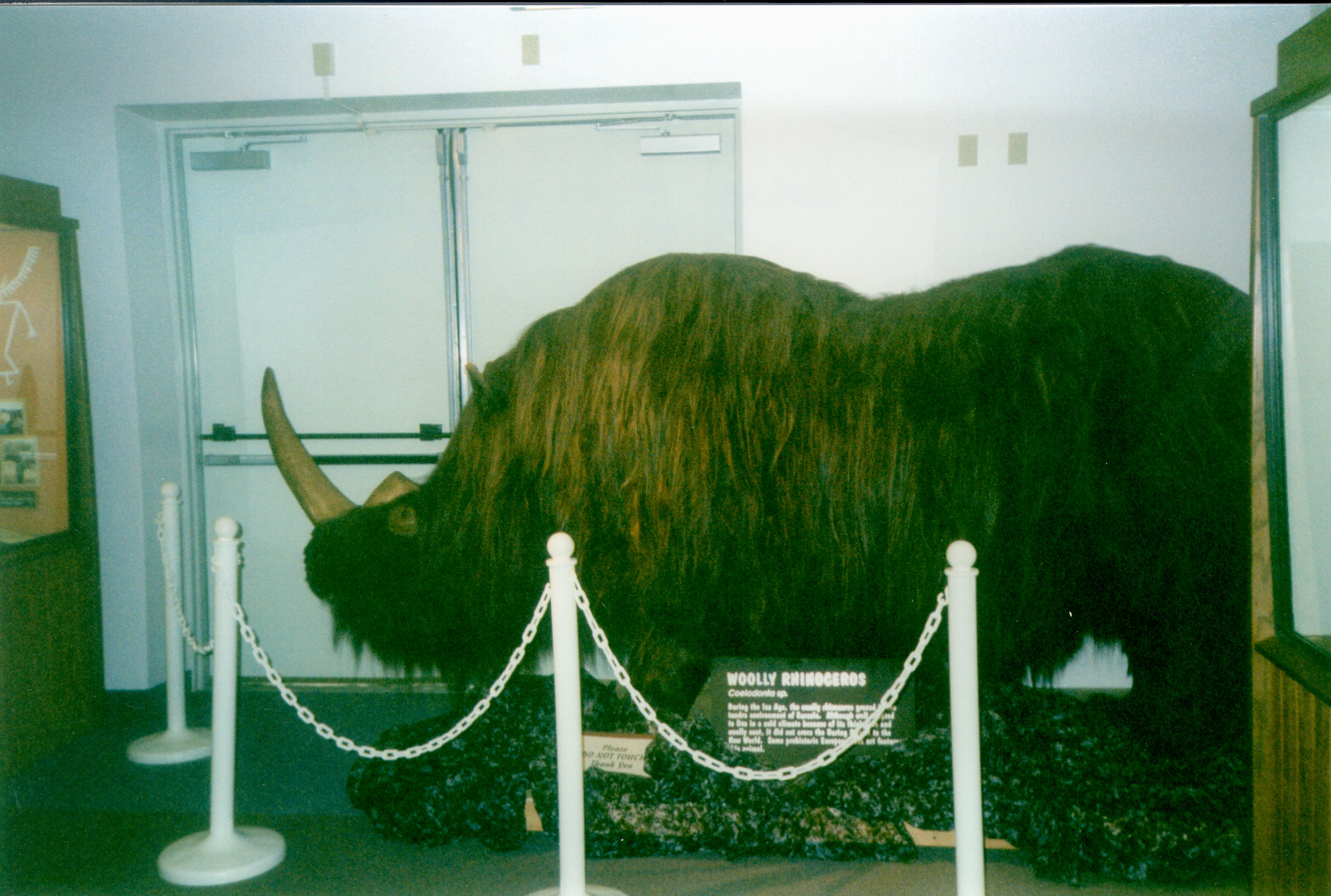
A replica of a wooly rhinoceros that lived during the last Ice Age is on display at the College of Eastern Utah Prehistoric Museum.
© 2001 Carrie Farmer.
Download Original (3545 x 2387 pixels, 1429.9 MB)
-
A visitor reads signs about the power of geology and Wasatch Plateau story.
Public Domain. Photo by Dennis Adams of FHWA
Download Original (750 x 489 pixels, 297.2 KB)
-
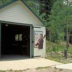
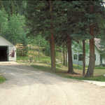
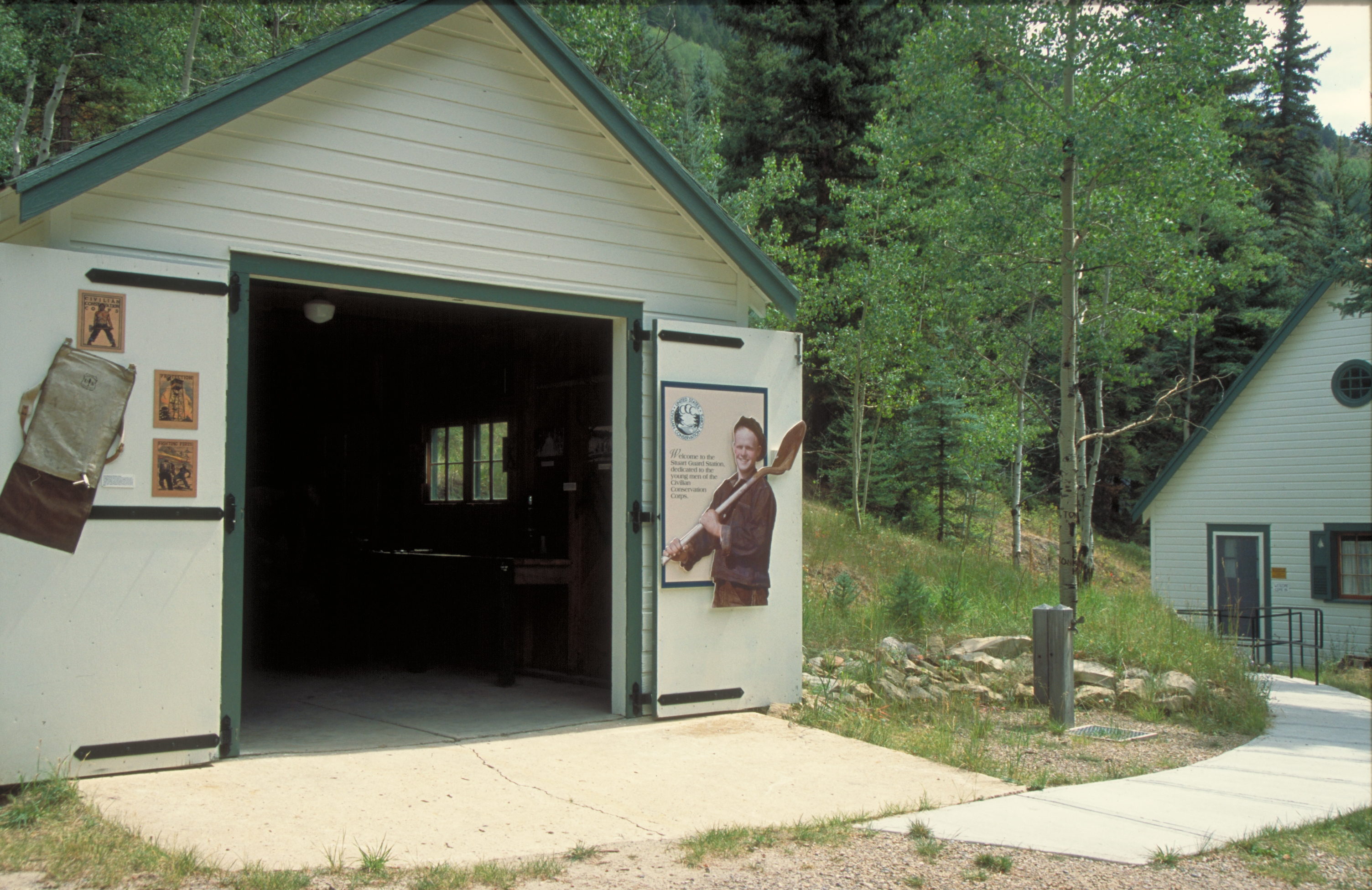
A garage at Stuart Guard Station on The Energy Loop: Huntington/Eccles Canyons Scenic Byway contains the story of the CCC's work in this area.
Public Domain. Photo by Dennis Adams
Download Original (3008 x 1952 pixels, 4101.6 MB)
-
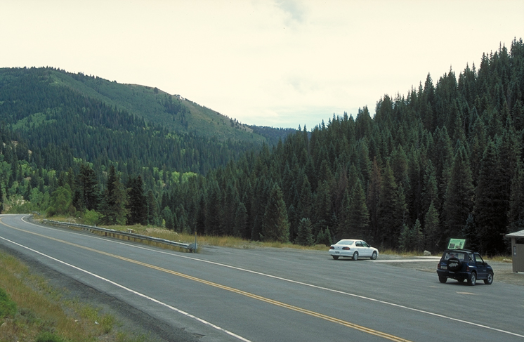
Cars are parked along The Energy Loop: Huntington/Eccles Canyons Scenic Byway where people have stopped to read the story of the Riparian community. Tall trees and grassy hills line both sides of the road.
Public Domain. Photo by Dennis Adams of FHWA
Download Original (746 x 487 pixels, 293.6 KB)
-
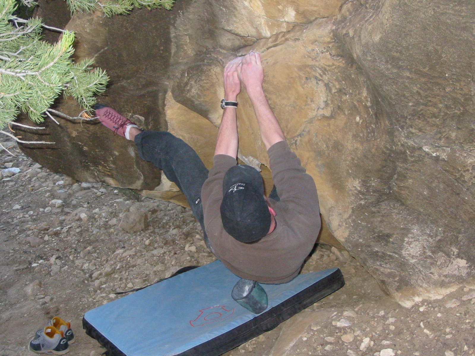
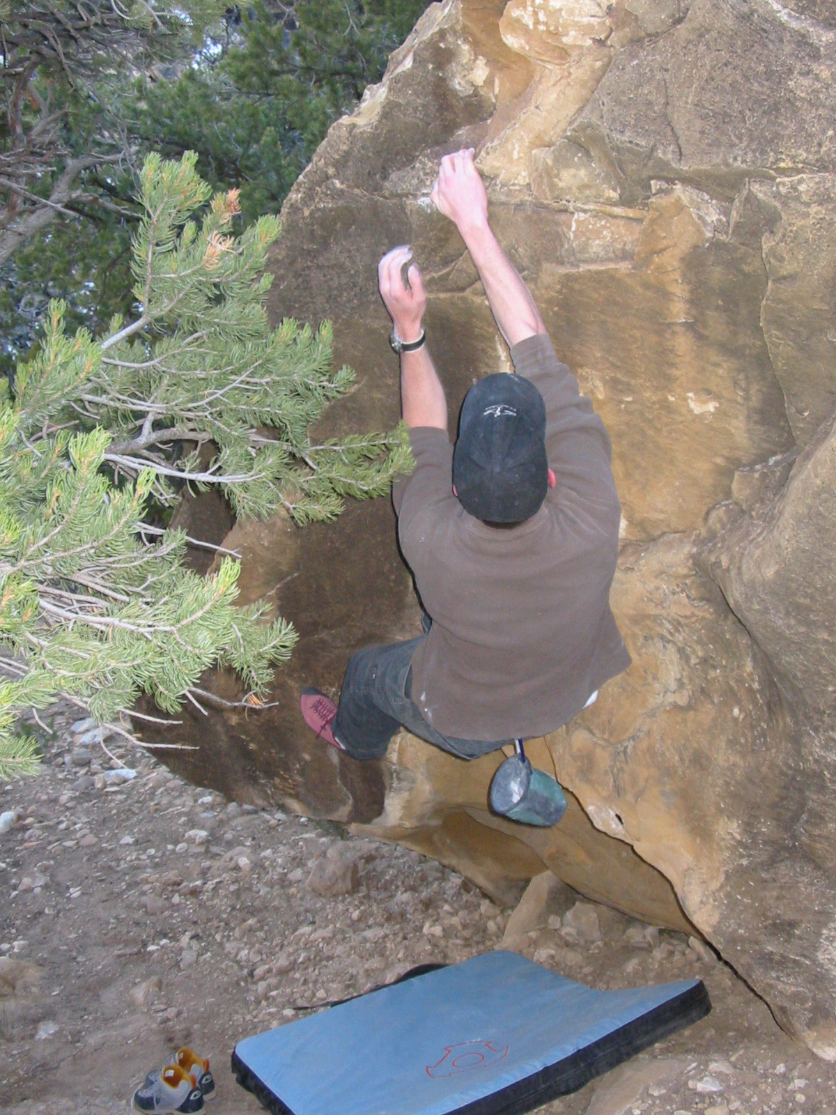
Tan and black sandstone boulders make Joes Valley a climber's paradise. A climber practices a move with a ground pad to catch his very short fall.
© March 2005 Matt Howard.
Download Original (1600 x 1200 pixels, 1084.7 MB)
-
A display inside a garage at Stuart Guard Station on The Energy Loop: Huntington/Eccles Canyons Scenic Byway tells the story of the CCC's work in this area.
Public Domain. Photo by Dennis Adams
Download Original (3012 x 1959 pixels, 3852.3 MB)
-
Sheep (and other ranch animals) may be encountered along The Energy Loop: Huntington/Eccles Canyons Scenic Byway, as they move between pastures and forage lands. These are above Burnout Canyon.
Public Domain. Photo by Dennis Adams
Download Original (747 x 485 pixels, 347.0 KB)
-
One of the reasons for the name of The Energy Loop: Huntington/Eccles Canyons Scenic Byway is quite visible, but not an overly jarring presence, beside the road.
Public Domain. Photo by Dennis Adams
Download Original (749 x 483 pixels, 301.3 KB)
-
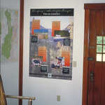
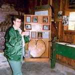
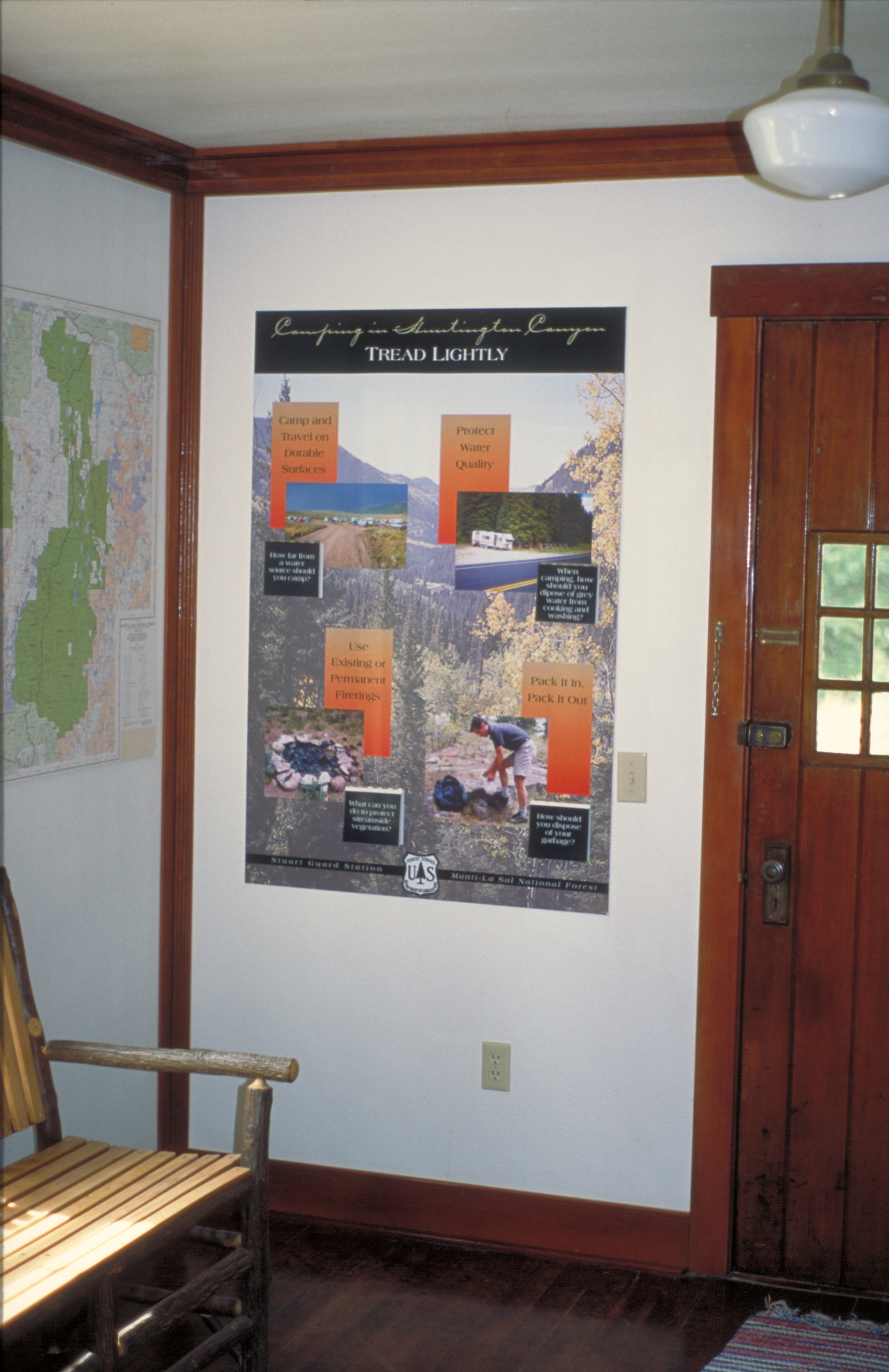
This panel inside the Stuart Guard Station shows in multi-colored detail the many resources of The Energy Loop: Huntington/Eccles Canyons Scenic Byway in central Utah.
Public Domain. Photo by Dennis Adams
Download Original (1947 x 3006 pixels, 3536.1 MB)
-
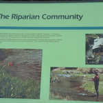
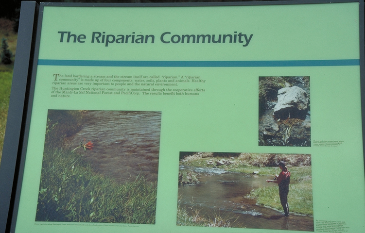
This sign, found along The Energy Loop: Huntington/Eccles Canyons Scenic Byway, tells about the Riparian Community.
Public Domain. Photo by Dennis Adams of FHWA
Download Original (751 x 480 pixels, 298.0 KB)
-
Taking advantage of extremely grippy sandstone, a climber concentrates on the Joes Valley classic, The Angler.
© March 2005 Matt Howard.
Download Original (1600 x 1200 pixels, 1218.3 MB)
-
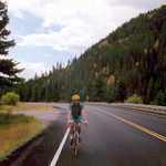
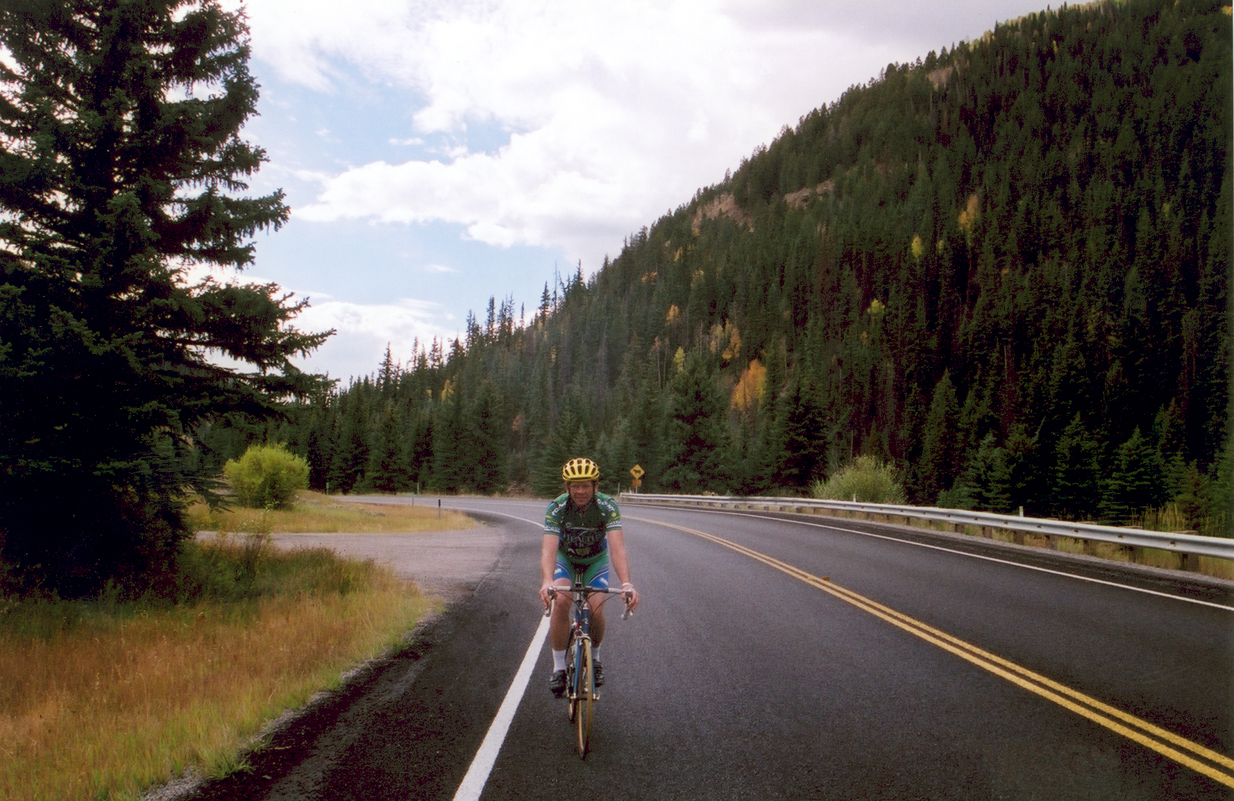
Scenic passes make The Energy Loop: Huntington/Eccles Canyons Scenic Byway a delightful and challenging bike ride.
Public Domain. A. E. Crane
Download Original (1778 x 1154 pixels, 2777.4 MB)
-
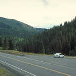
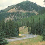
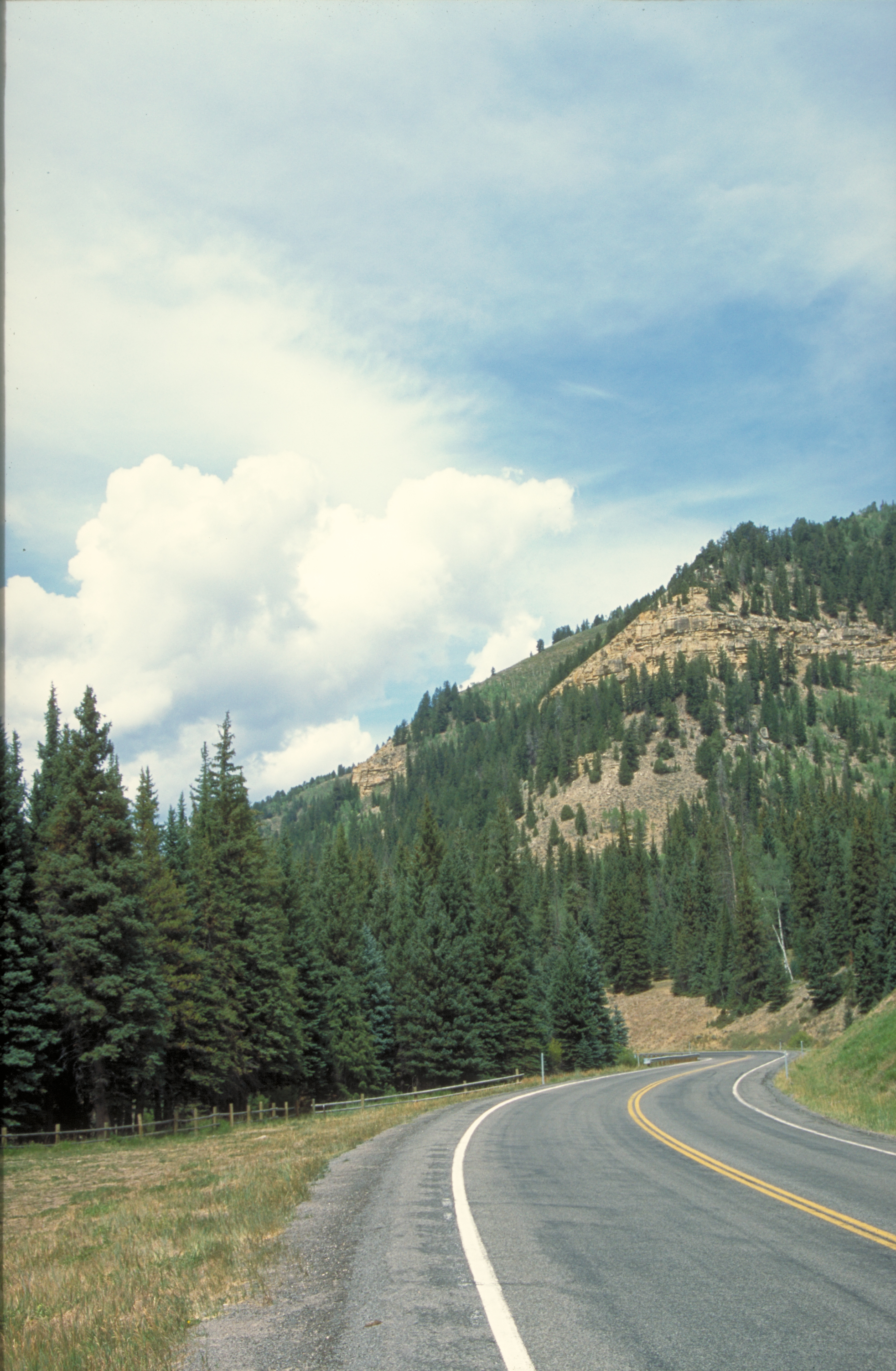
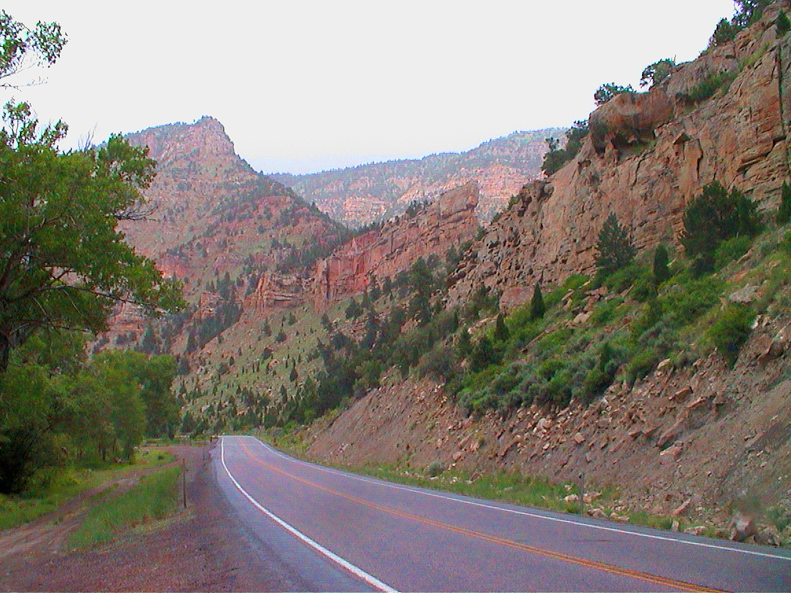
The Energy Loop: Huntington/Eccles Canyons Scenic Byway curves past evergreens in Huntington Canyon.
Public Domain. Photo by Dennis Adams of FHWA
Download Original (1965 x 3006 pixels, 3627.8 MB)
-
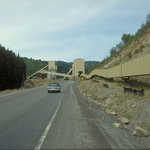
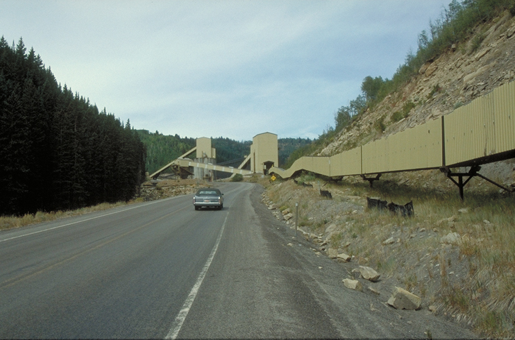
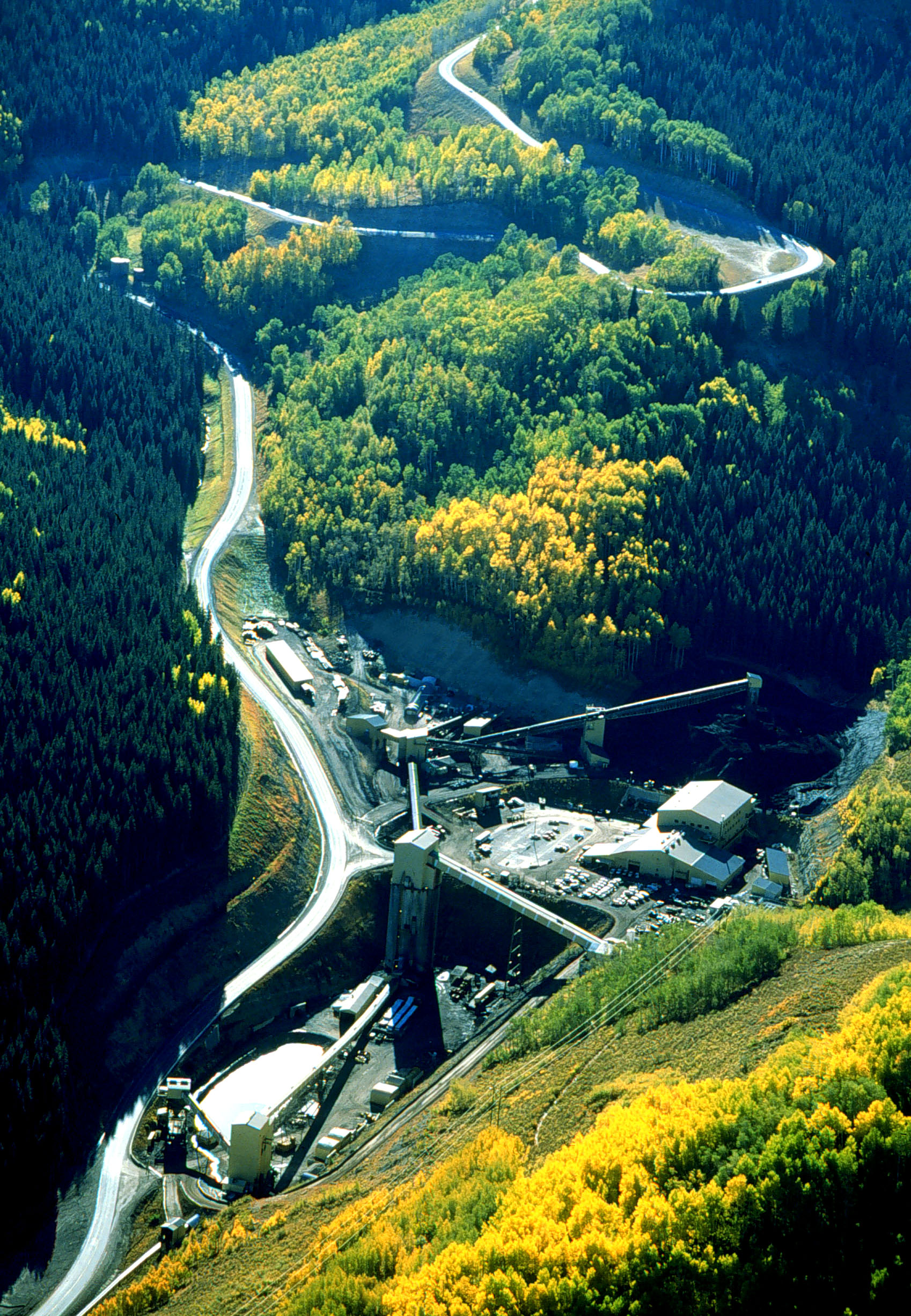
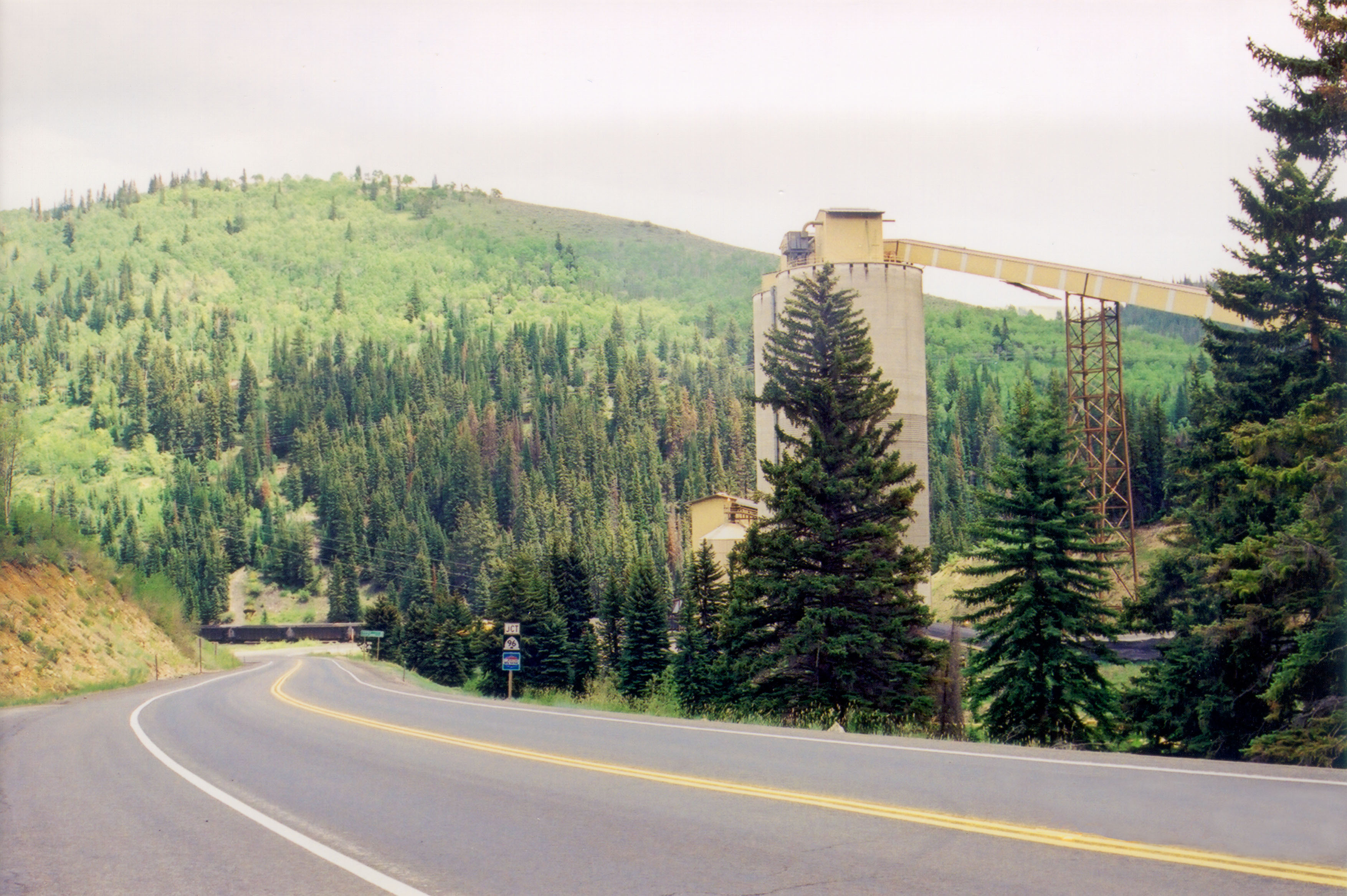
A covered mine conveyor belt parallels The Energy Loop: Huntington/Eccles Canyons Scenic Byway for a long stretch. This is the section from the high-mountain t-junction at the top of all three canyons, and heading toward Scofield.
Public Domain. Photo by Dennis Adams
Download Original (742 x 490 pixels, 314.2 KB)
-
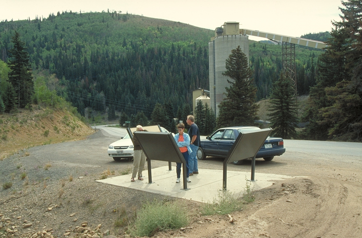
Several travelers read an interpretive sign about the region's coal. A tall building of the Skyline Mine complex is in the background.
Public Domain. Photo by Dennis Adams of FHWA
Download Original (743 x 488 pixels, 365.5 KB)
-
A visitor admires a beautiful landscape and creek while stopping to read about riparian communities on The Energy Loop: Huntington/Eccles Canyons Scenic Byway.
Public Domain. Photo by Dennis Adams of FHWA
Download Original (749 x 485 pixels, 385.3 KB)
-
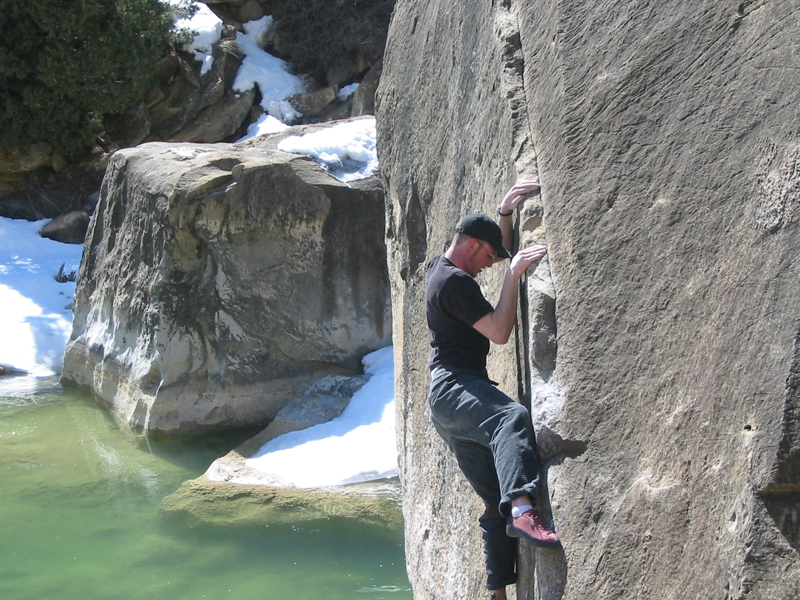
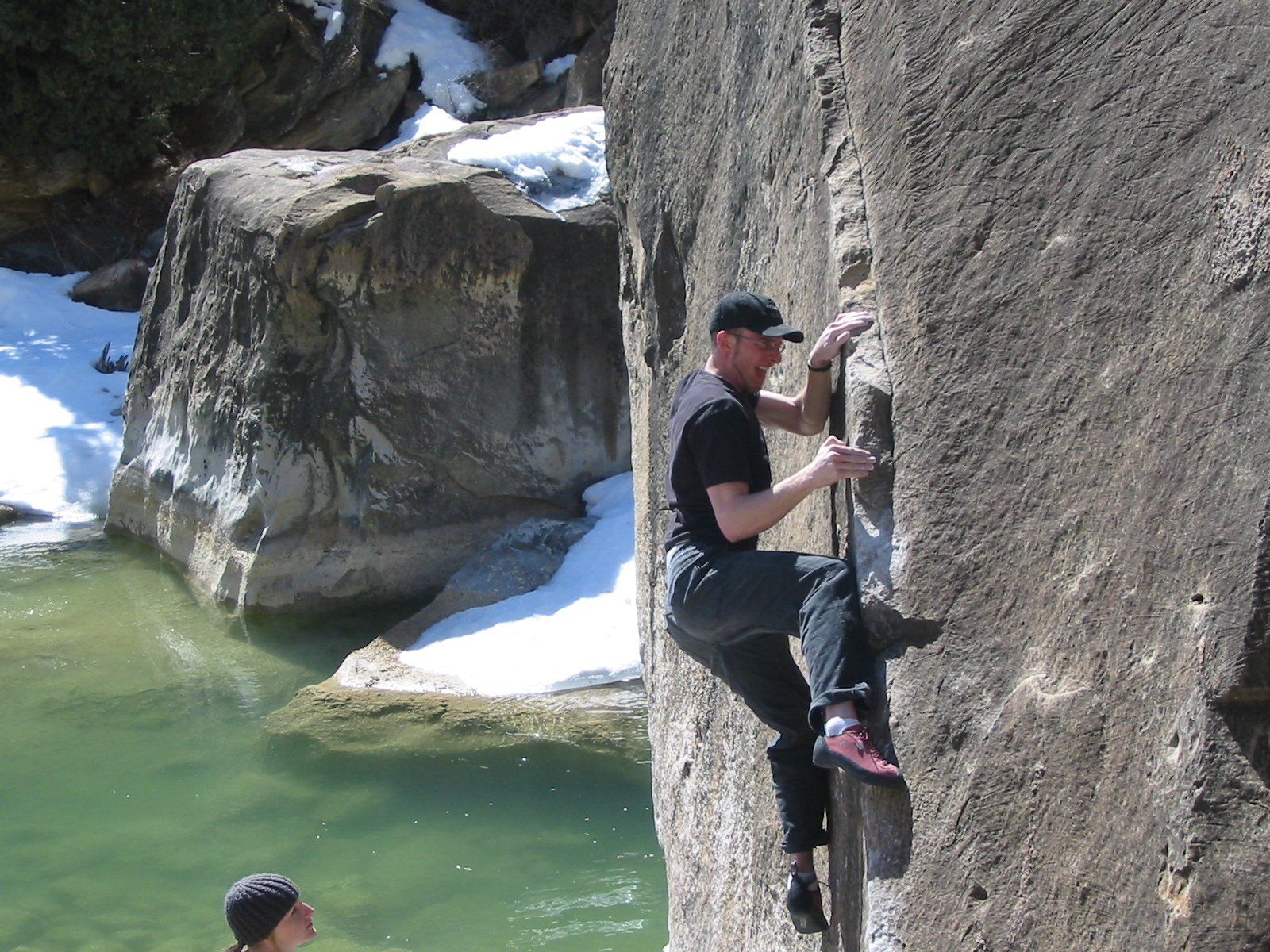
A climber clings to holds on a sheer cliff above icy, emerald green pools.
© March 2005 Matt Howard.
Download Original (1600 x 1200 pixels, 1138.0 MB)
-
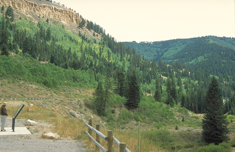
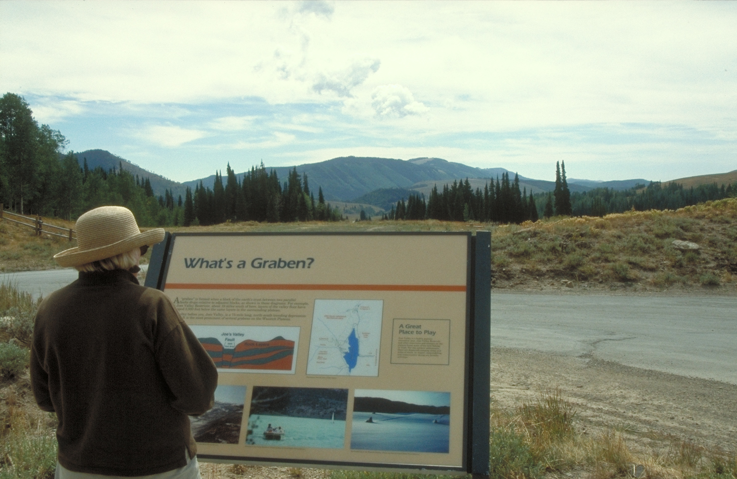
An interpretive sign at Joes Valley Overlook on The Energy Loop: Huntington/Eccles Canyons Scenic Byway explains the geology of this popular recreation area.
Public Domain. Photo by Dennis Adams of FHWA
Download Original (1494 x 972 pixels, 934.6 KB)
-
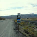
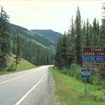
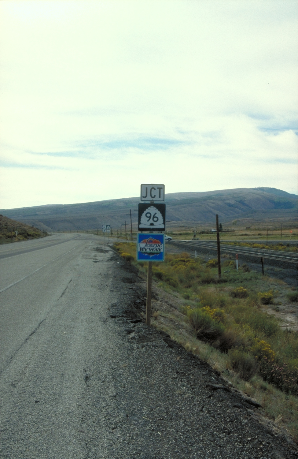
A state byway sign underneath the Utah Highway 96 sign indicates an approaching junction along The Energy Loop: Huntington/Eccles Canyons Scenic Byway.
Public Domain. Photo by Dennis Adams of FHWA
Download Original (975 x 1500 pixels, 893.8 KB)
-
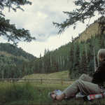
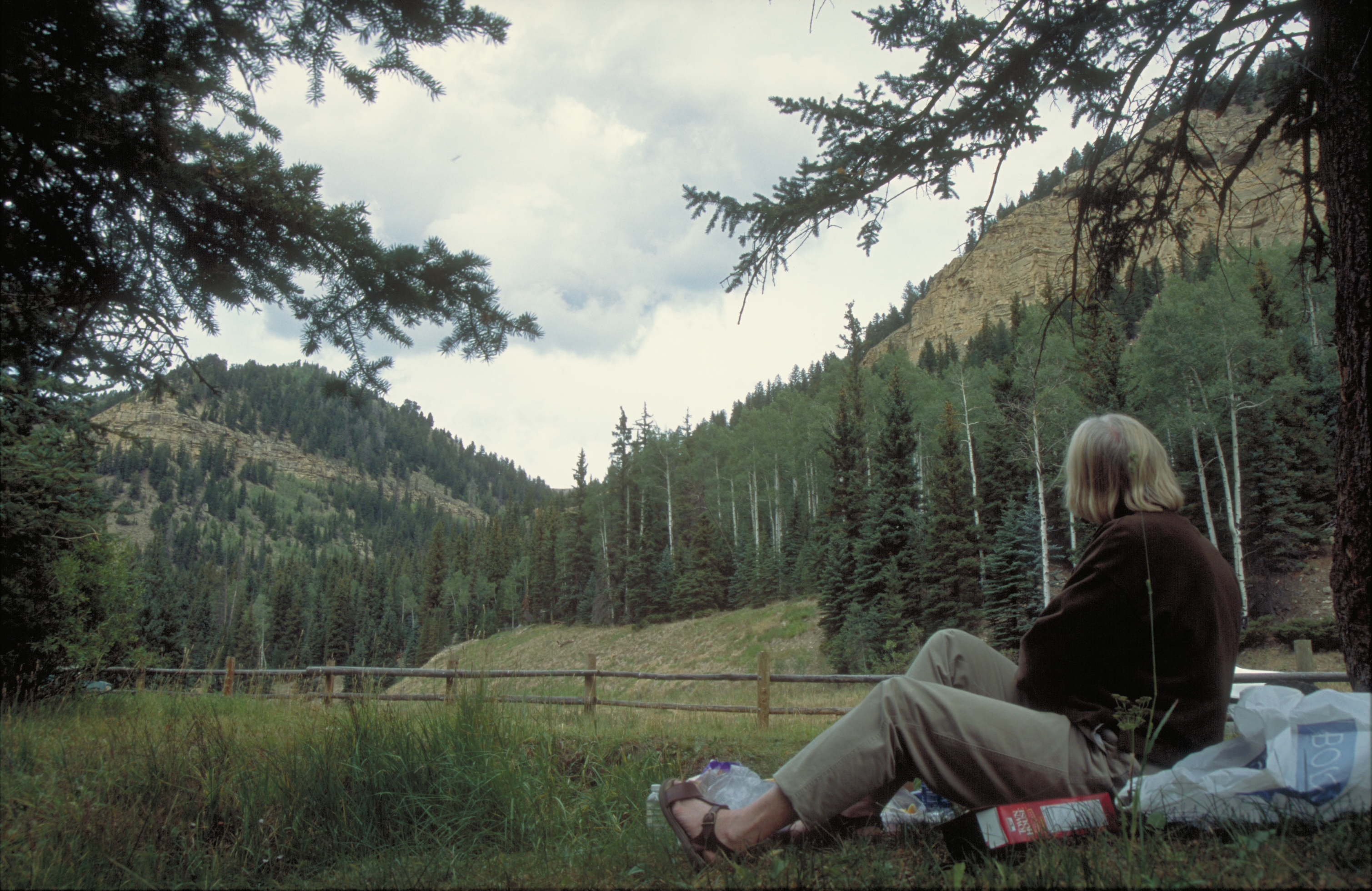
A visitor contemplates the high mountain forests while enjoying a picnic lunch on The Energy Loop: Huntington/Eccles Canyons Scenic Byway.
Public Domain. Photo by Dennis Adams
Download Original (3018 x 1960 pixels, 4294.0 MB)
-
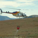
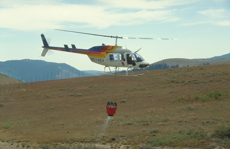
A helicopter lifts water from a reservoir to fight fires in the mountains of The Energy Loop: Huntington/Eccles Canyons Scenic Byway.
Public Domain. Photo by Dennis Adams of FHWA
Download Original (746 x 485 pixels, 286.7 KB)
-
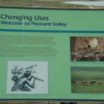
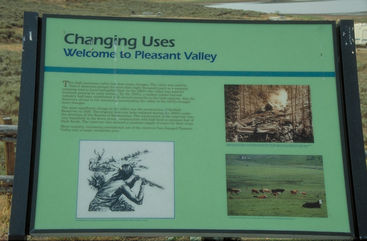
Read about changing land use at this Scofield Lake wayside sign on The Energy Loop: Huntington/Eccles Canyons Scenic Byway.
Public Domain. Photo by Dennis Adams of FHWA
Download Original (749 x 491 pixels, 318.9 KB)
-
Two visitors read about coal mining near Skyline Mine.
Public Domain. Photo by A. E. Crane
Download Original (1786 x 1154 pixels, 3127.4 MB)
-
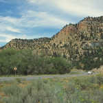
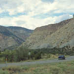
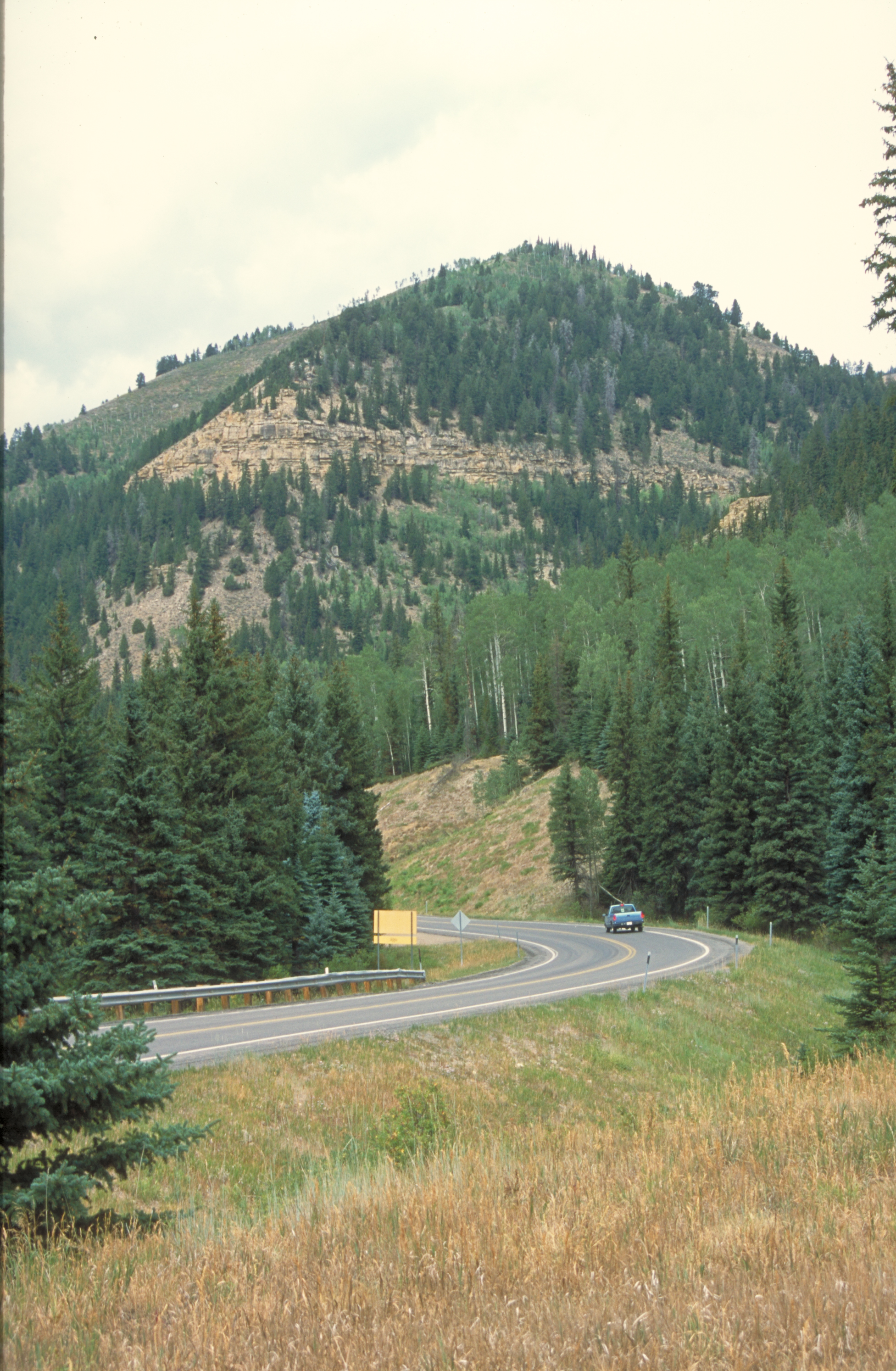
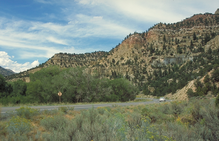
A car passes underneath a pyramidal mountain in Huntington Canyon. Pine trees border the The Energy Loop: Huntington/Eccles Canyons Scenic Byway.
Public Domain. Photo by Dennis Adams of FHWA
Download Original (1953 x 2988 pixels, 3920.1 MB)
-
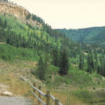
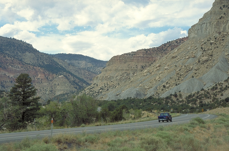
Juniper-strewn canyon walls tower over The Energy Loop: Huntington/Eccles Canyons Scenic Byway in the lower canyon.
Public Domain. Photo by Dennis Adams
Download Original (747 x 482 pixels, 386.7 KB)
-
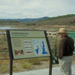
Visitor reads about Huntington Reservoir (and probably the discovery of the Huntington Mammoth) at a rest stop beside The Energy Loop: Huntington/Eccles Canyons Scenic Byway.
Public Domain. Photo by Dennis Adams
Download Original (747 x 485 pixels, 329.6 KB)
-
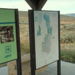
National Forest maps and Wasatch Mountains signs provide orientation along The Energy Loop: Huntington/Eccles Canyons Scenic Byway.
Public Domain. Photo by Dennis Adams of FHWA
Download Original (743 x 482 pixels, 308.4 KB)
-
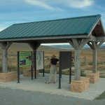
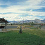
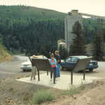
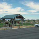
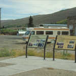
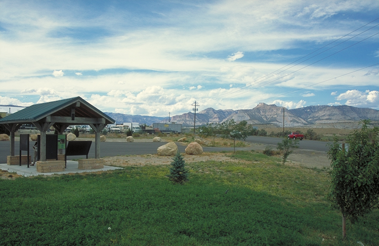
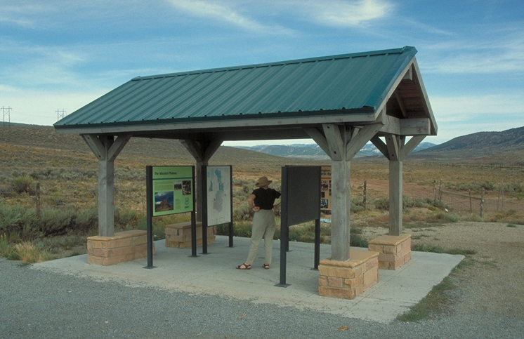
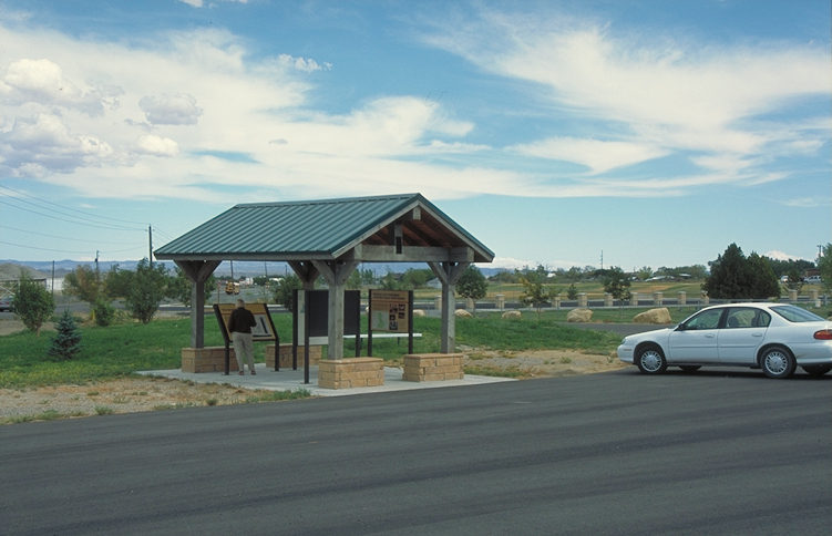
A visitor stops by this roofed information kiosk at Highway 96 on The Energy Loop: Huntington/Eccles Canyons Scenic Byway.
Public Domain. Photo by Dennis Adams of FHWA
Download Original (746 x 483 pixels, 320.7 KB)
-
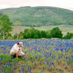
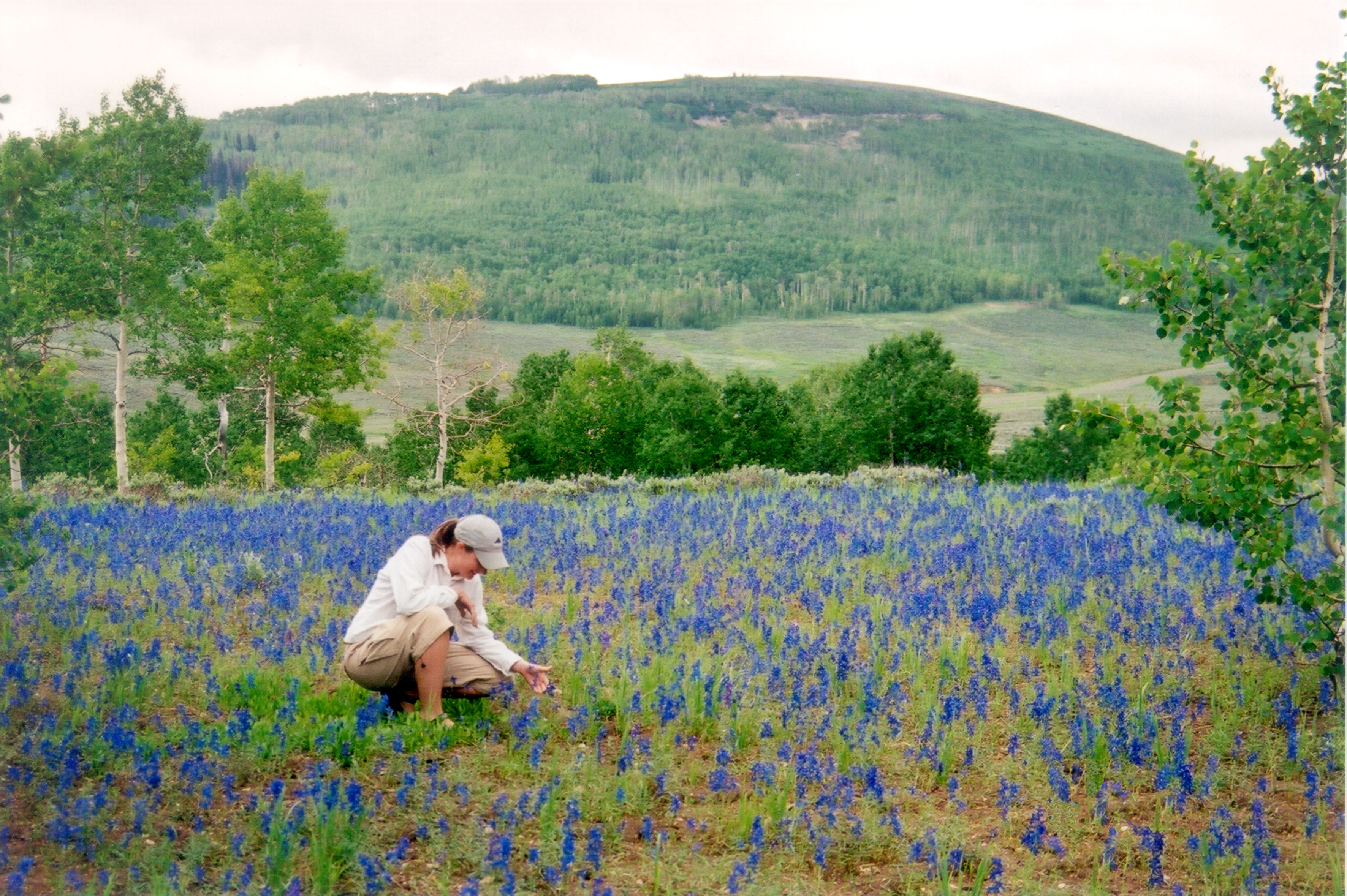
Carrie inspects the larkspur fields of The Energy Loop: Huntington/Eccles Canyons Scenic Byway just past the junction.
© A.E. Crane.
Download Original (3545 x 2359 pixels, 1487.0 MB)
-
The Energy Loop: Huntington/Eccles Canyons Scenic Byway includes both historic and modern-day mining and energy operations.
© 1999 Scenic Byway Committee.
Download Original (1698 x 2452 pixels, 1045.0 MB)
-
This view of the kiosk and parking area reveals green landscaping and a very nice skyscape.
Public Domain. Photo by Dennis Adams
Download Original (751 x 484 pixels, 288.1 KB)
-
As travelers proceed from the mountains down through Huntington Canyon, they are entering a much drier ecology. The canyonsides are more barren, showing off the striking geology, and the roadside vegetation is sparser and shorter.
Public Domain. Photo by Dennis Adams
Download Original (736 x 484 pixels, 339.3 KB)
-
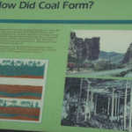
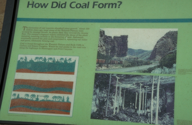
This sign along The Energy Loop: Huntington/Eccles Canyons Scenic Byway informs visiters about how coal is formed.
Public Domain. Photo by Dennis Adams of FHWA
Download Original (743 x 486 pixels, 322.6 KB)
-
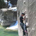
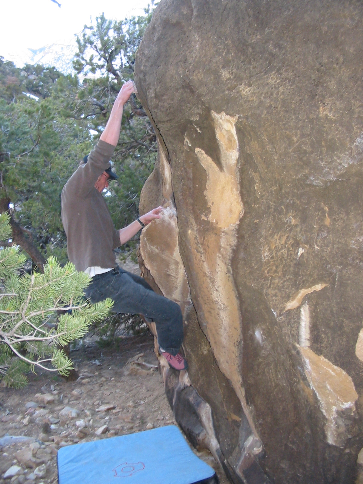
A climber commits to a big move on this overhanging problem in Joes Valley in central Utah.
© March 2005 Matt Howard.
Download Original (1200 x 1600 pixels, 1019.2 MB)
-
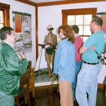
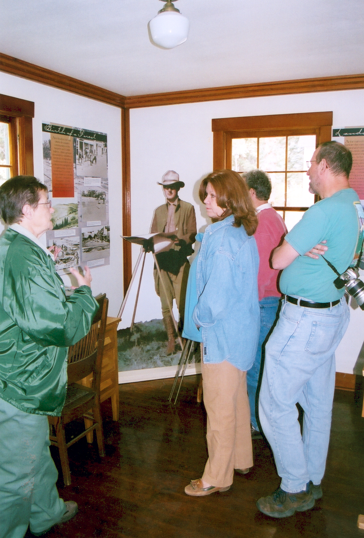
A USDA Forest Ranger guides a group through the exhibits inside the house at the Stuart Guard Station on The Energy Loop: Huntington/Eccles Canyons Scenic Byway.
Public Domain. Photo by A. E. Crane
Download Original (1175 x 1734 pixels, 2456.8 MB)
-
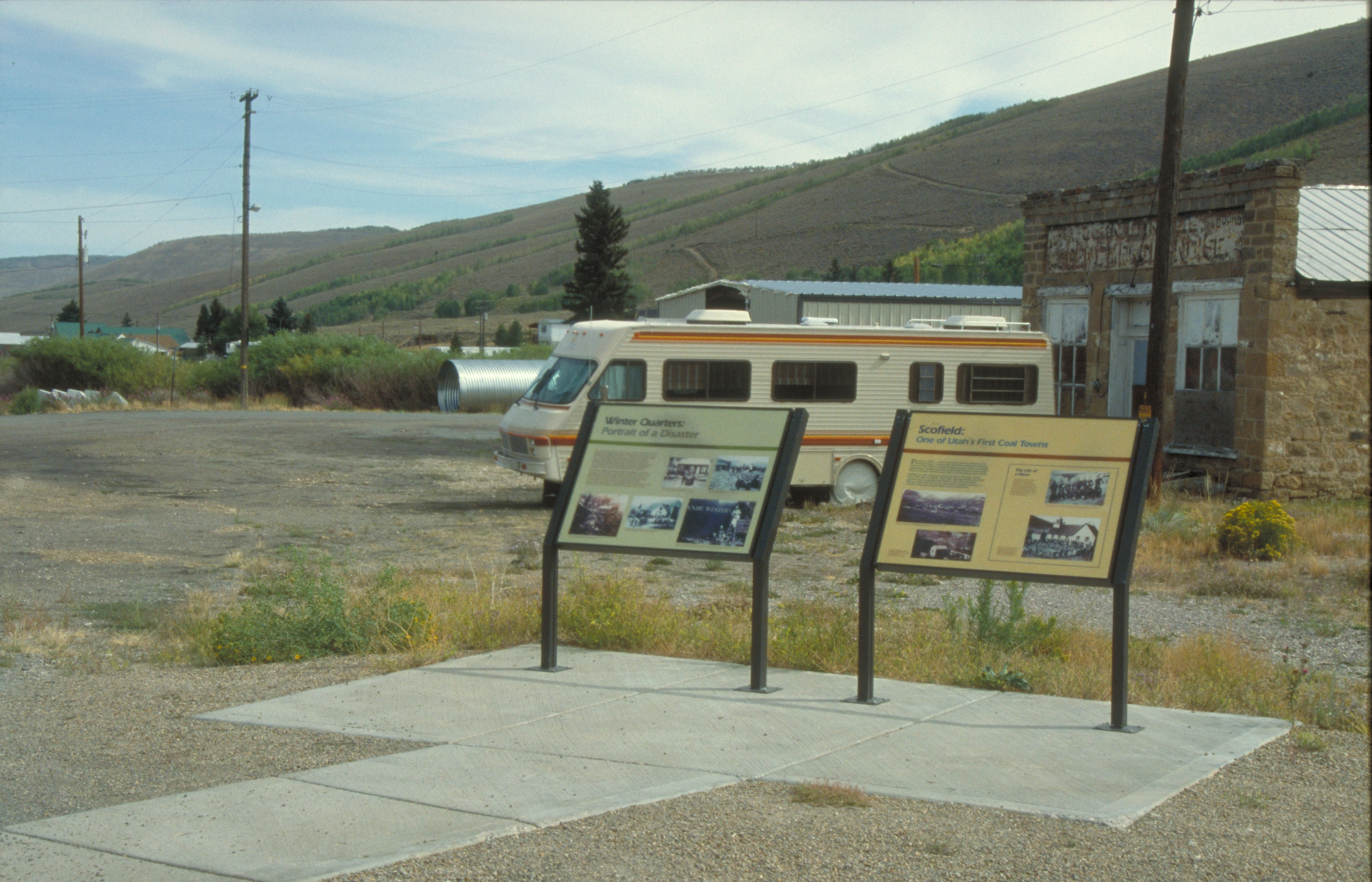
An RV waits in the ample parking area by the History of Scofield Mining Disaster on The Energy Loop: Huntington/Eccles Canyons Scenic Byway.
Public Domain. Photo by Dennis Adams of FHWA
Download Original (3012 x 1936 pixels, 4454.4 MB)
-
Huntington Creek runs along a good length of SR-31, providing both pleasing scenery and recreational opportunities. Many campsites, fishing holes, and pull-offs along the creek make it an important part of the The Energy Loop: Huntington/Eccles Canyons Scenic Byway.
© 1999 Scenic Byway Committee.
Download Original (2479 x 1695 pixels, 1599.0 MB)
-
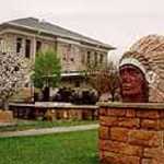
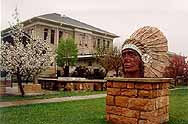
The well-kept grounds of the Fairview Museum of History and Art are decorated with a giant American Indian head.
Public Domain. Photo by A. E. Crane
Download Original (188 x 124 pixels, 14.5 KB)
-
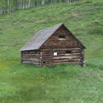
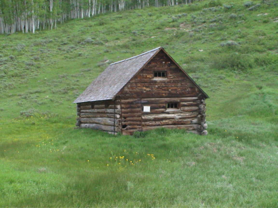
An old cabin in a meadow in Eccles Canyon stands as a reminder of the settling of the West.
Public Domain. Photo by S. Clyde
Download Original (1152 x 864 pixels, 583.5 KB)
-
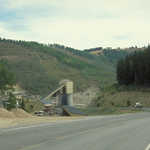
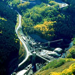
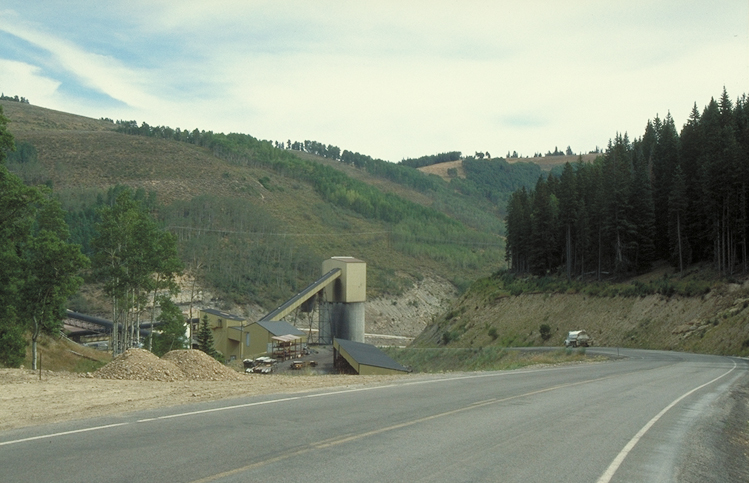
The Skyline Mine facilities are near the junction of U-96 and the Eccles Scenic Byway on the Energy Loop.
Public Domain. Photo by A. E. Crane
Download Original (3509 x 2335 pixels, 1146.4 MB)
-
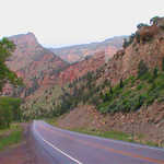
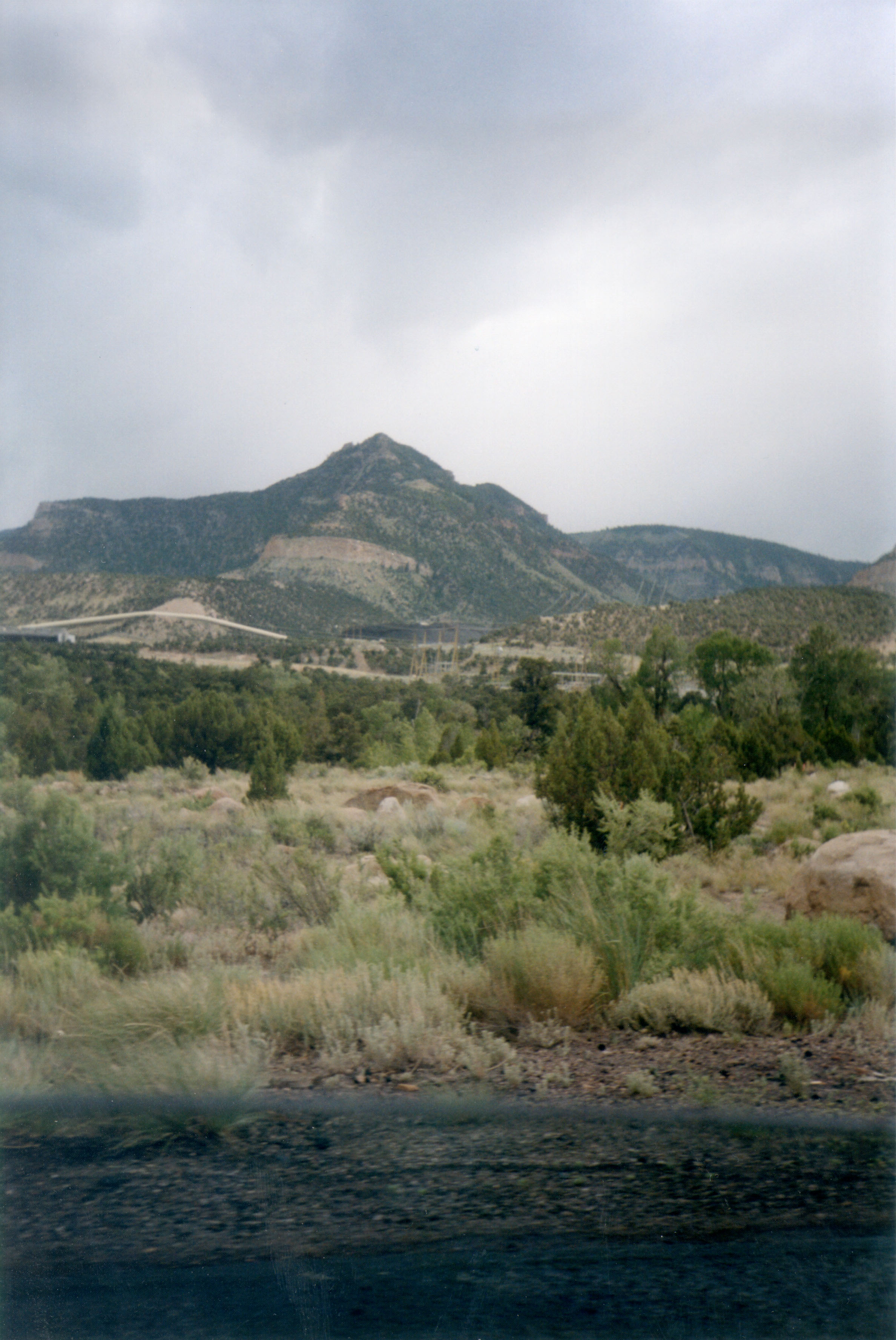
Red rocks and plateaus create a panorama from The Energy Loop: Huntington/Eccles Canyons Scenic Byway.
Public Domain. Photo by S. Clyde
Download Original (1152 x 864 pixels, 572.8 KB)
-
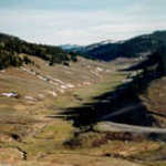
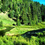
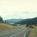
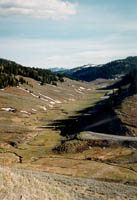
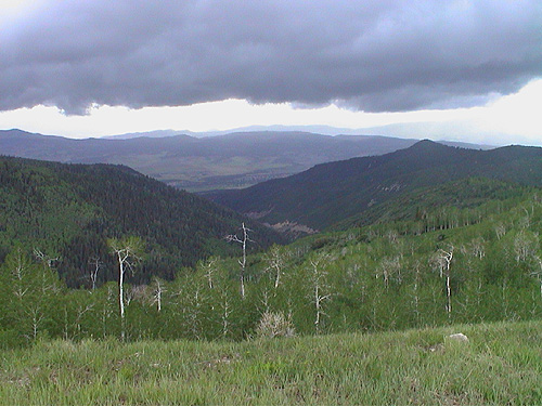
The Energy Loop: Huntington/Eccles Canyons Scenic Byway meanders through lush valleys and over high peaks.
Public Domain. Photo by A. E. Crane
Download Original (137 x 200 pixels, 14.5 KB)
-
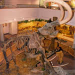
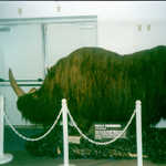
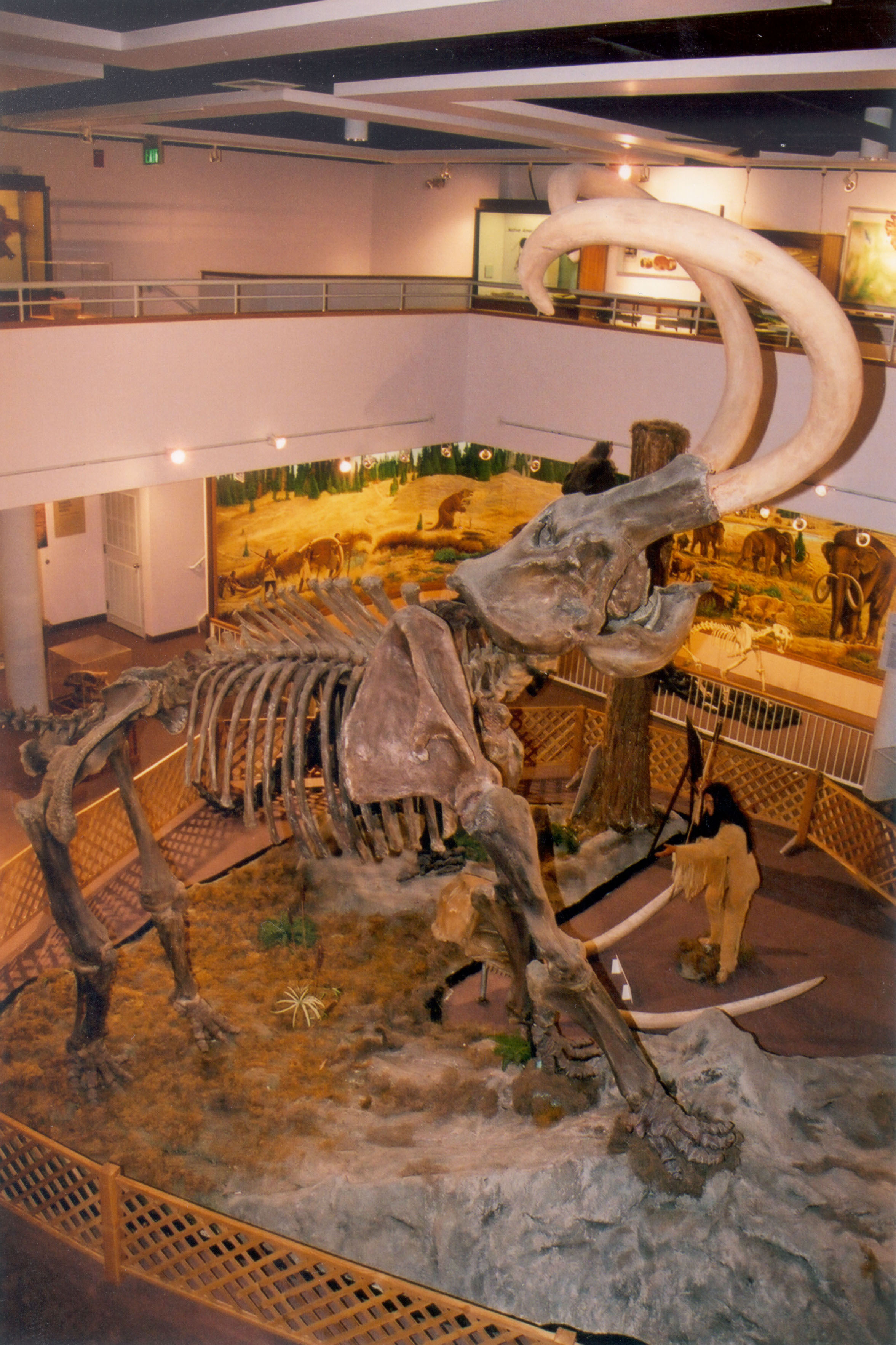
The Huntington Mammoth is on display at the College of Eastern Utah Prehistoric Museum in Price.
Public Domain. Photo by S. Clyde
Download Original (2353 x 3531 pixels, 1070.6 MB)
-
This view from The Energy Loop: Huntington/Eccles Canyons Scenic Byway reveals a slice of the scenery.
© 2001 Carrie Farmer.
Download Original (2376 x 3552 pixels, 834.4 KB)
-
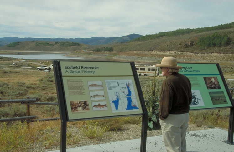
A visitor reads about fishing Scofield Lake from one of three sign panels at this stop overlooking Scofield Lake which is surrounded by summer-dry mountaintops.
Public Domain. Photo by Dennis Adams of FHWA
Download Original (747 x 487 pixels, 340.2 KB)
-
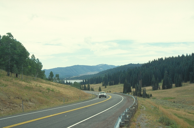
A car on The Energy Loop: Huntington/Eccles Canyons Scenic Byway in the upper canyons has passed a reservoir, of which a tiny glimpse can be seen in the background
Public Domain. Photo by Dennis Adams
Download Original (739 x 488 pixels, 263.4 KB)
-
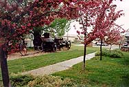
Crabapple trees frame and outdoor exhibit at the Fairview Museum.
Public Domain. Photo by A. E. Crane
Download Original (188 x 128 pixels, 19.1 KB)
-
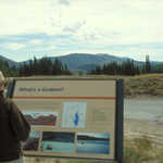
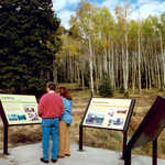
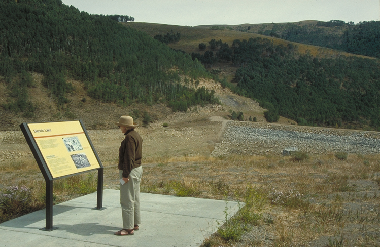
Visitor reads about Electric Lake at this interpretive stop on The Energy Loop: Huntington/Eccles Canyons Scenic Byway.
Public Domain. Photo by Dennis Adams of FHWA
Download Original (749 x 488 pixels, 373.8 KB)
-
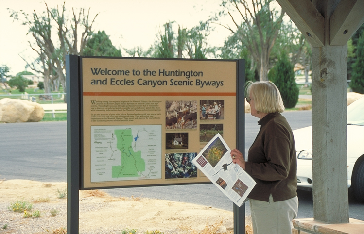
With a Byway brochure in hand, a visitor reads a welcome panel in the Huntington entrance kiosk on The Energy Loop: Huntington/Eccles Canyons Scenic Byway.
Public Domain. Photo by Dennis Adams
Download Original (749 x 482 pixels, 329.1 KB)
-
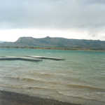
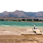
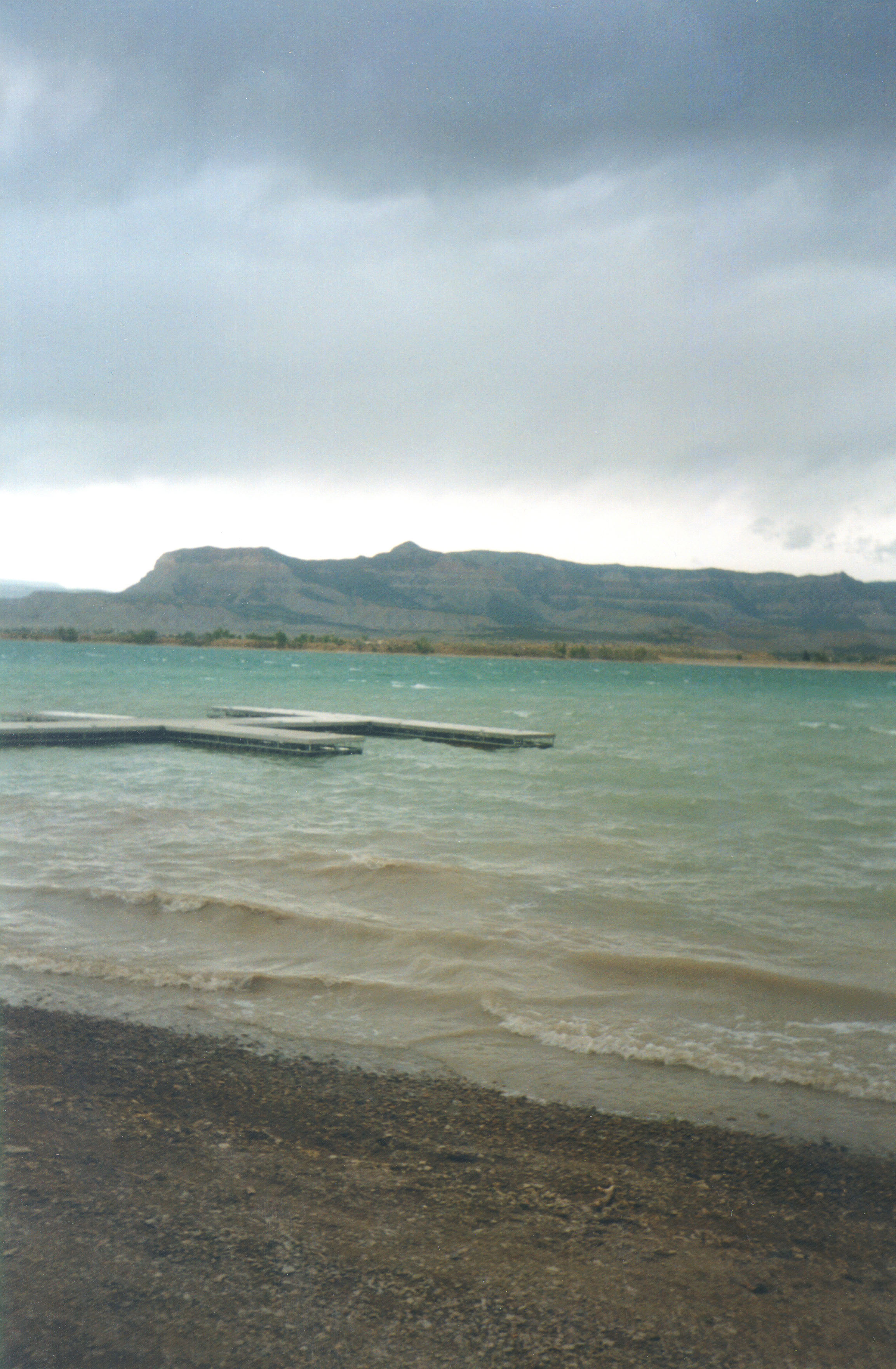
Muddy waters lap the reservoir shore on this windy day.
© 2001 Carrie Farmer.
Download Original (2307 x 3524 pixels, 1124.7 MB)
-
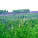
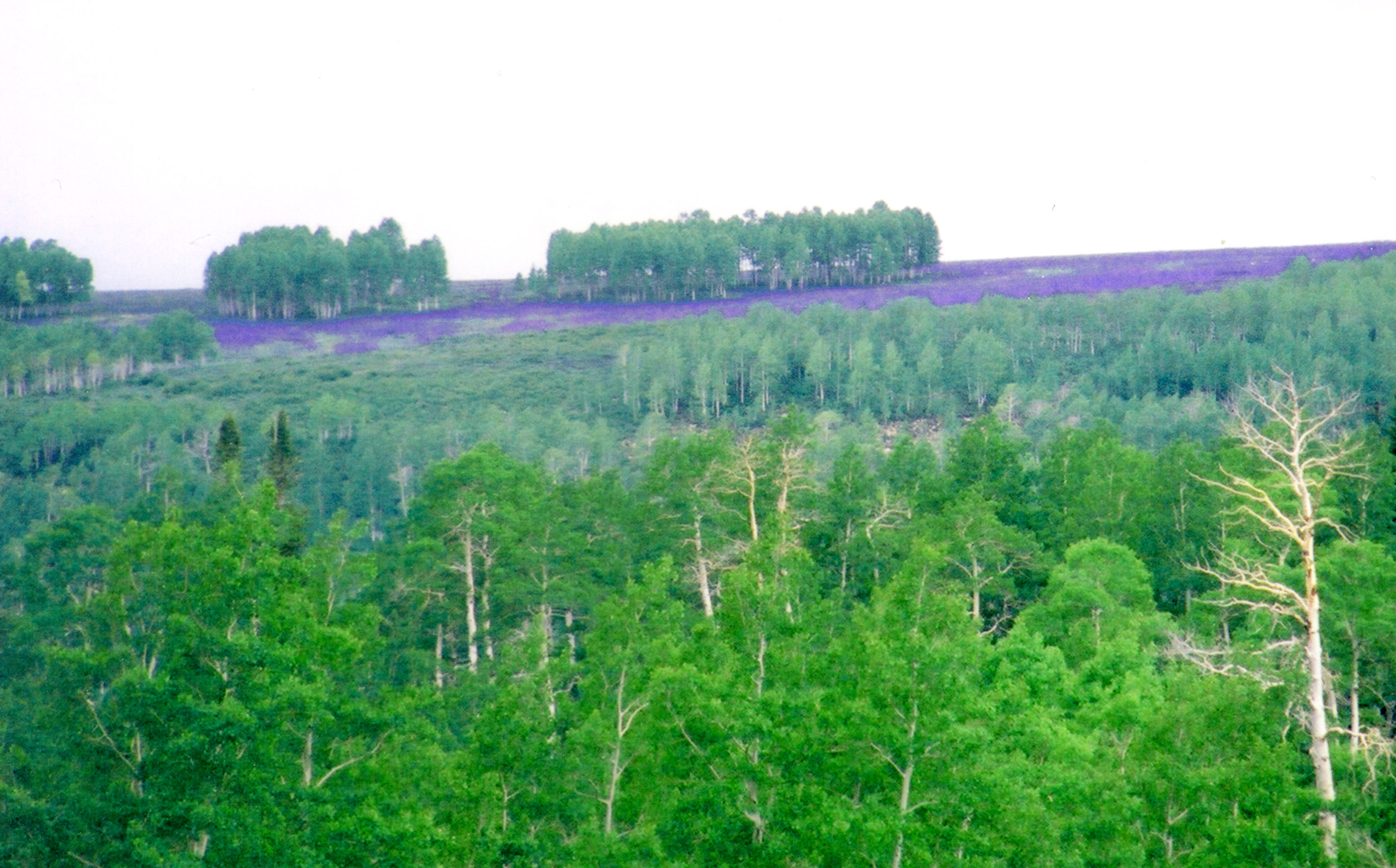
Larkspur turns the high ridges a glorious purple in the springtime on the Energy Loop.
Public Domain. Photo by S. Clyde
Download Original (2845 x 1770 pixels, 716.4 KB)
-
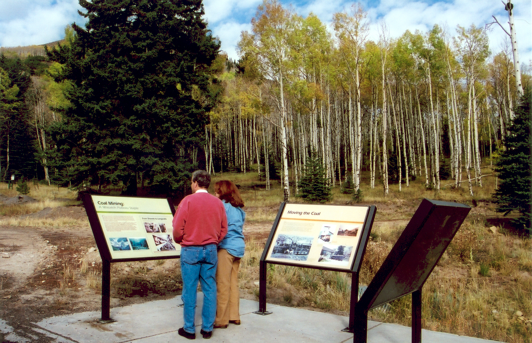
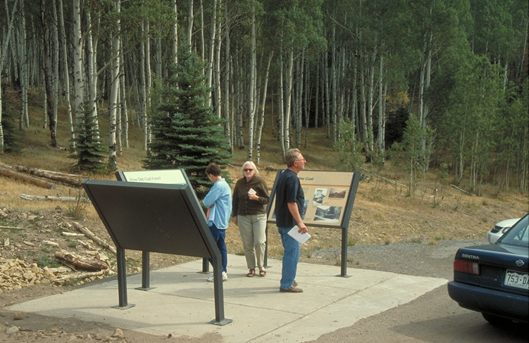
Visitors read about coal at this interpretive stop on The Energy Loop: Huntington/Eccles Canyons Scenic Byway.
Public Domain. Photo by Dennis Adams of FHWA
Download Original (751 x 488 pixels, 407.8 KB)
-
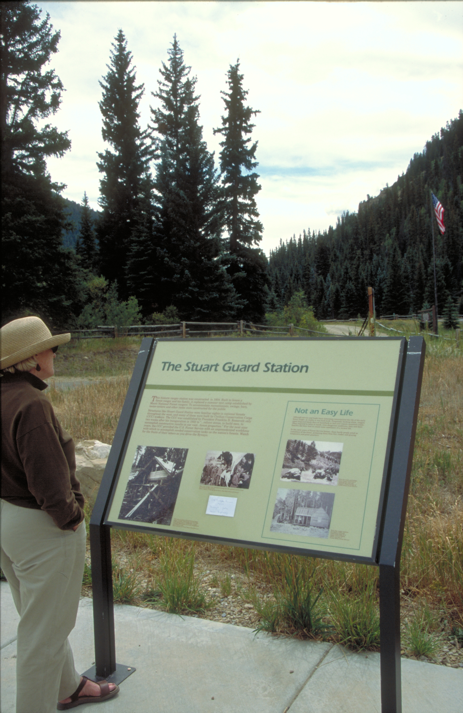
A visitor reads about the Stuart Guard Station on The Energy Loop: Huntington/Eccles Canyons Scenic Byway.
Public Domain. Photo by Dennis Adams
Download Original (1959 x 3018 pixels, 3773.0 MB)
-
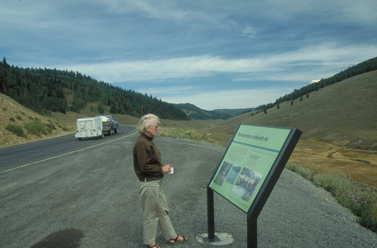
This visitor stops to read the panel that tells of energy and pipe lines along The Energy Loop: Huntington/Eccles Canyons Scenic Byway.
Public Domain. Photo by Dennis Adams of FHWA
Download Original (743 x 488 pixels, 312.8 KB)
-
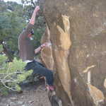
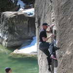
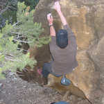
Clinging to a tiny flake of sandstone and praying it will hold, this climber is one move from finishing Sole Food on the Sabotage boulder in Joes Valley. "Bomb-proof" is a climber's term for a hold in which you can have a lot of confidence.
© March 2005 Matt Howard.
Download Original (1200 x 1600 pixels, 876.3 KB)
-
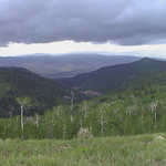
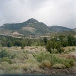
Heavy clouds create a dramatic view of the Sanpete Overlook right before a rainstorm.
Public Domain. Photo by S. Clyde
Download Original (500 x 375 pixels, 97.6 KB)