
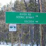
River Road Scenic Byway
All Photos (61)
-
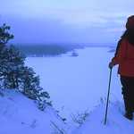
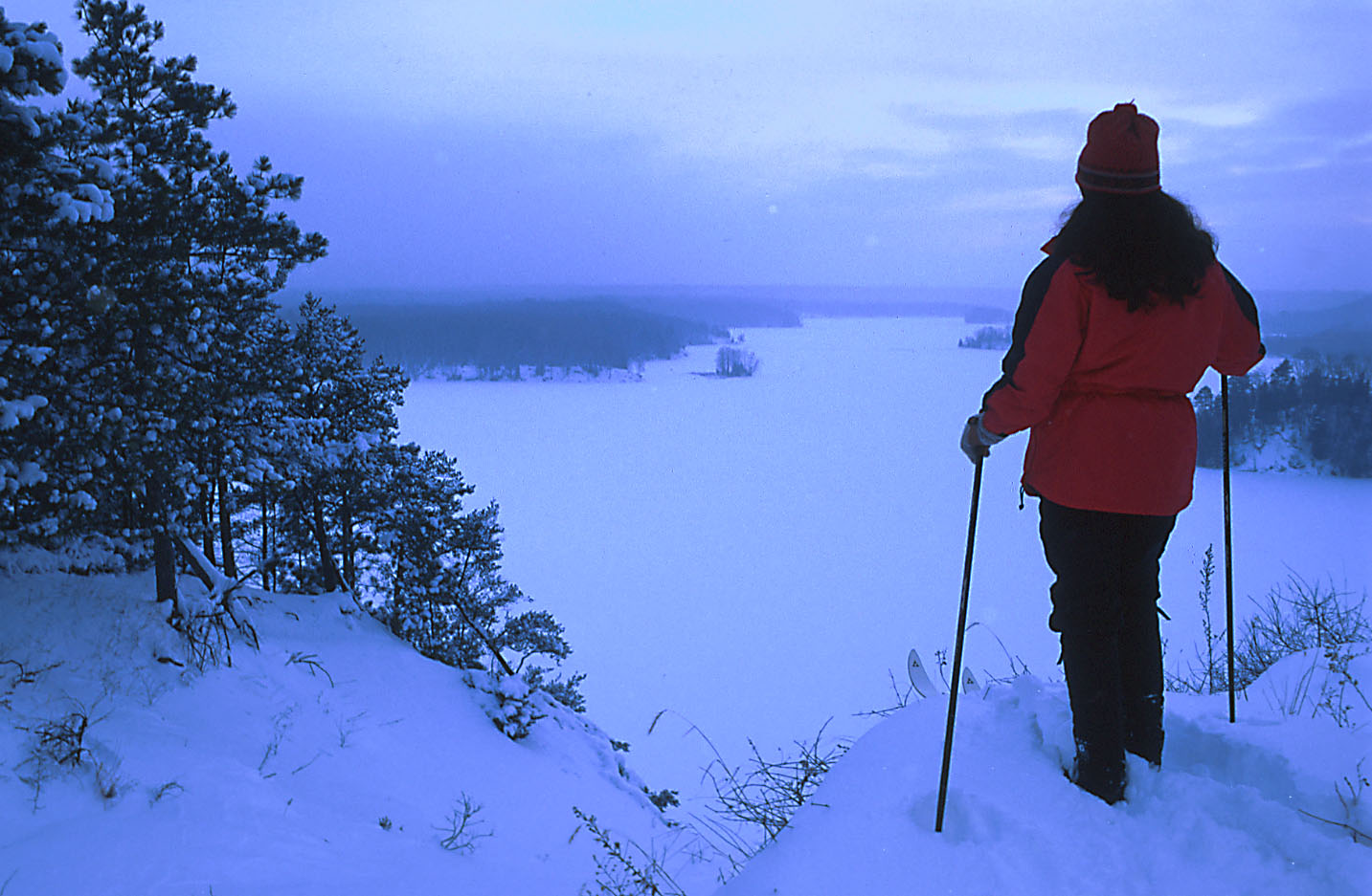
A Corsair Trail volunteer enjoys the view from the Highbanks Trail during a pause in her cross country ski run.
Public Domain. Photo provided by Gordon Haase and Tess Nelkie
Download Original (1433 x 937 pixels, 272.9 KB)
-
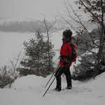
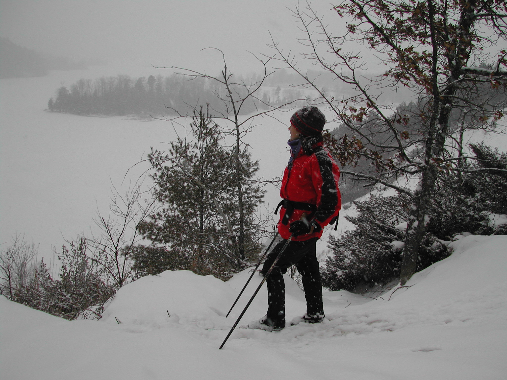
A skier pauses during a cross country skiing run on the Highbanks Trail.
Public Domain. Photo provided by Gordon Haase and Tess Nelkie
Download Original (2048 x 1536 pixels, 621.7 KB)
-
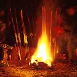
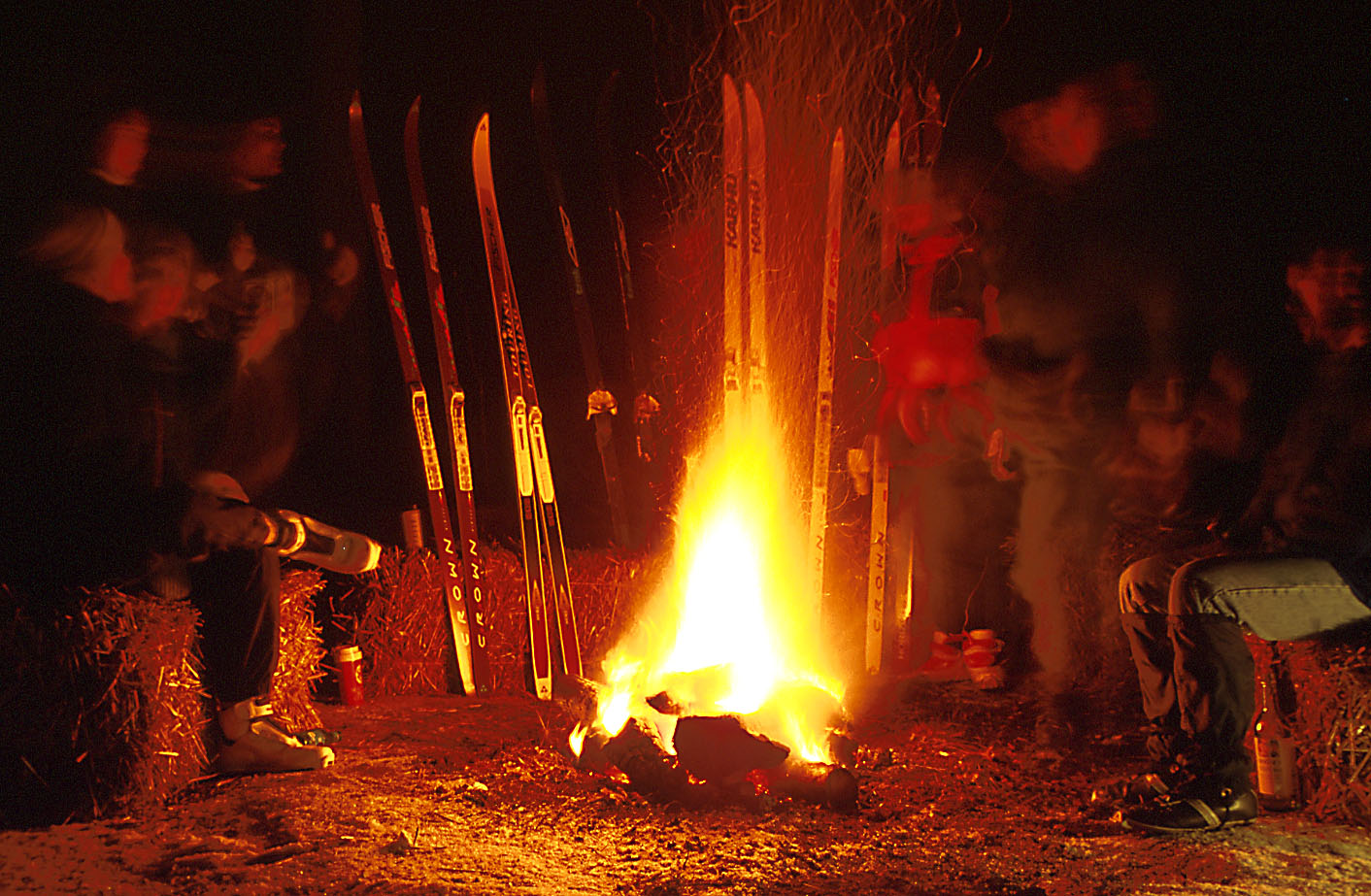
A group of skiers enjoys a midnight bonfire on the Corsair Trail System.
Public Domain. Photo provided by Gordon Haase
Download Original (1412 x 923 pixels, 345.6 KB)
-
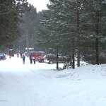
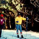
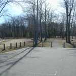
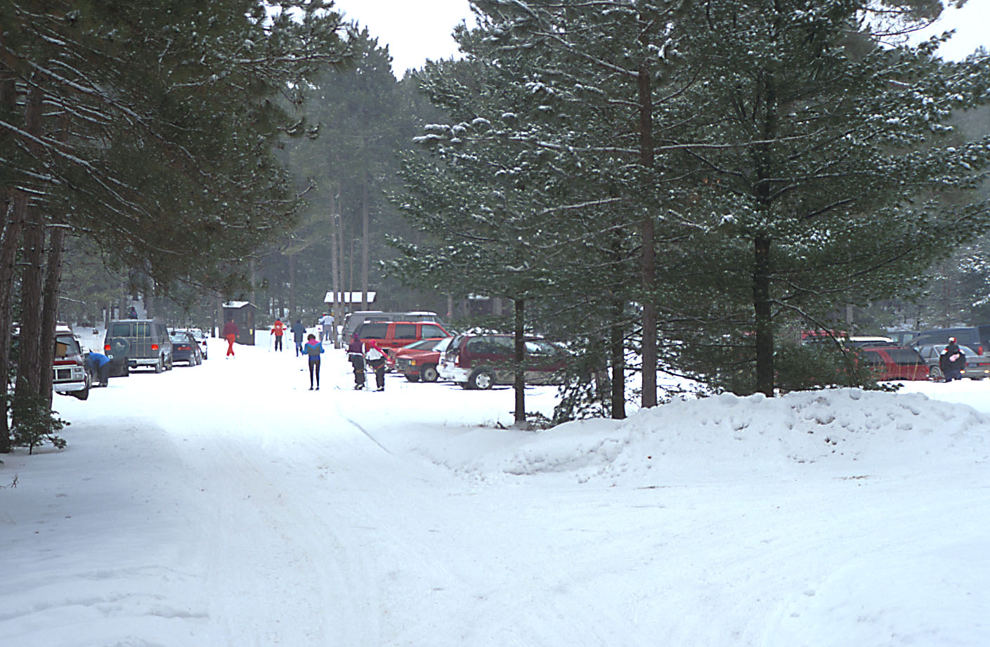
Skiers gather at the Wright Lake Trailhead for a day of cross country skiing on the Corsair Trail System.
Public Domain. Photo provided by Gordon Haase
Download Original (1409 x 921 pixels, 309.8 KB)
-
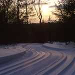
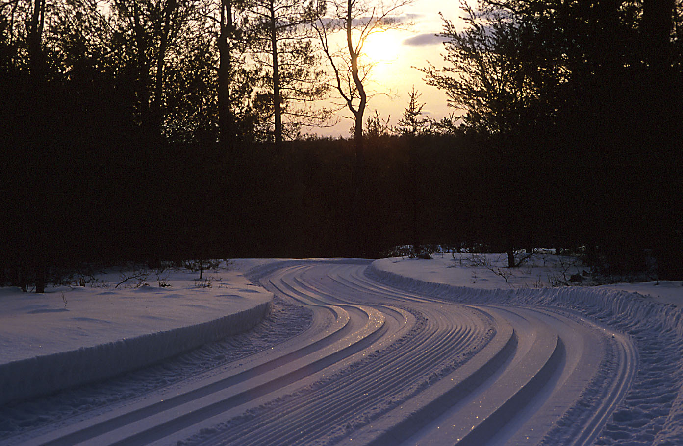
A freshly groomed trail on the Corsair Trail System glitters in the sunset.
Public Domain. Photo provided by Gordon Haase
Download Original (1393 x 911 pixels, 342.2 KB)
-
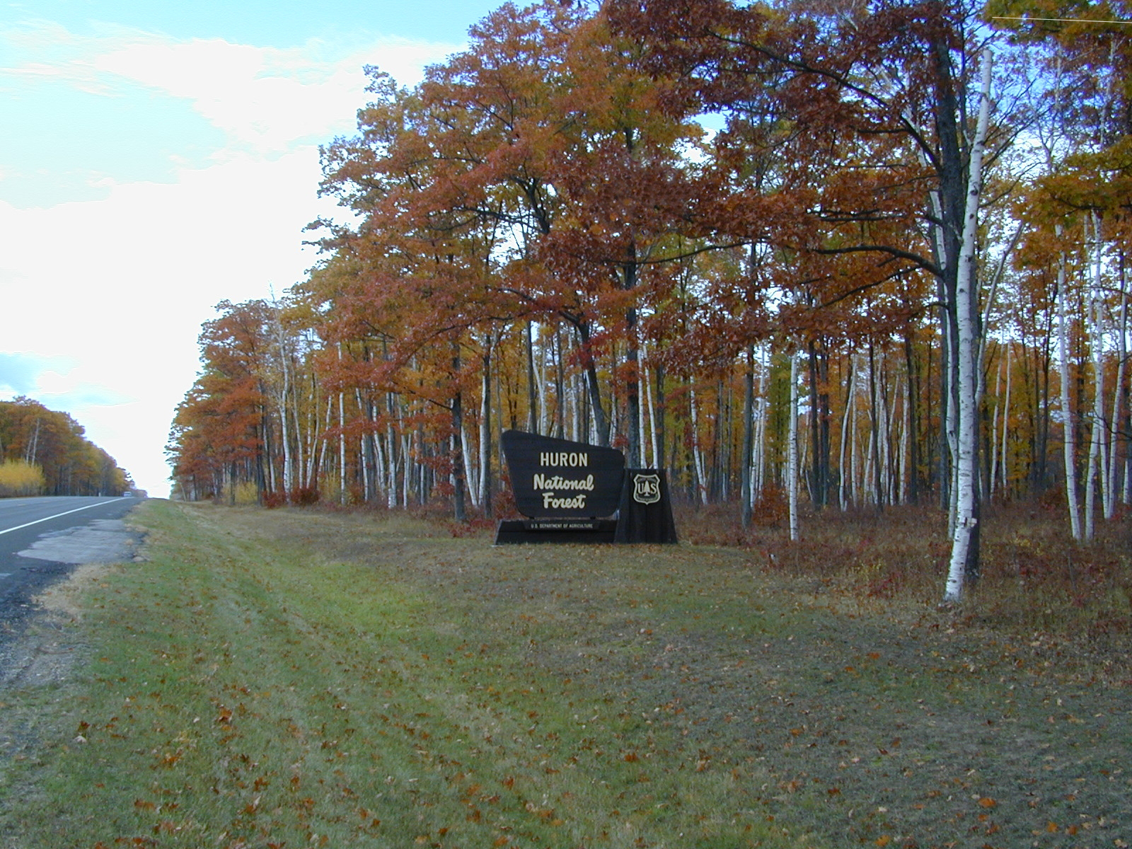
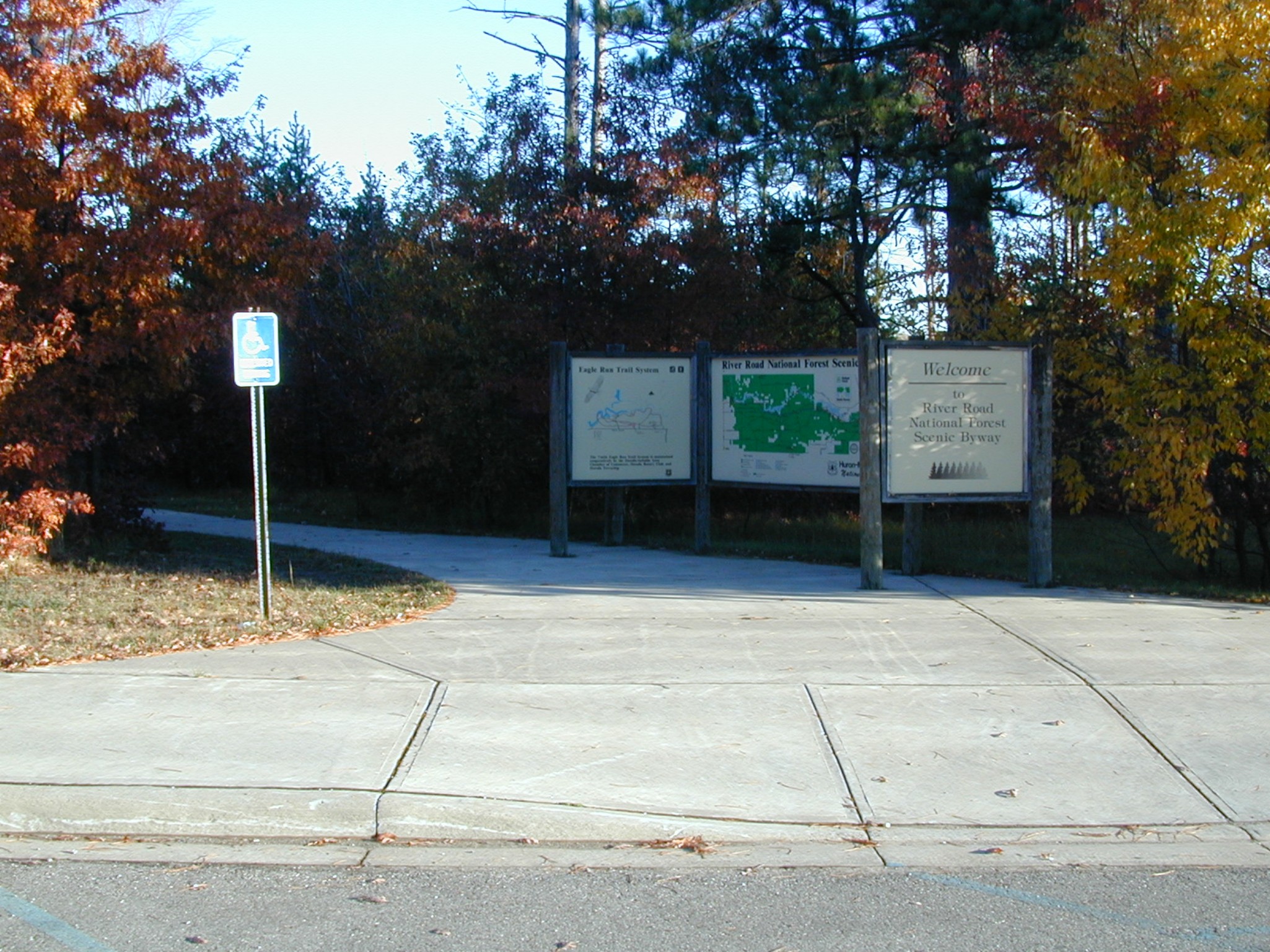
The National Forest sign welcomes visitors into the fall dappled forest along Highway 72.
Public Domain.
Download Original (1600 x 1200 pixels, 1569.4 MB)
-
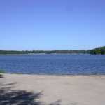
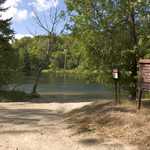
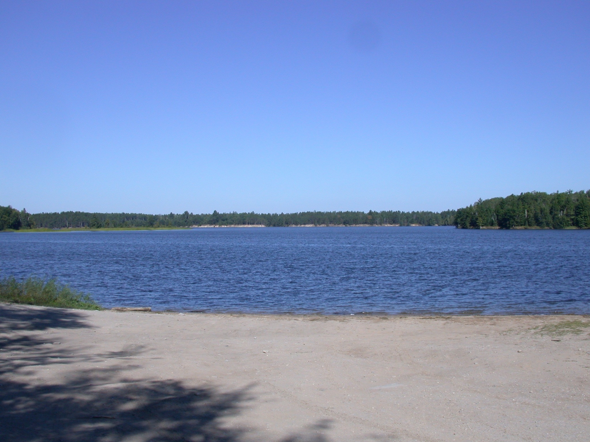
The shore leads effortlessly to the bright blue lapping waters of the Loud Dam Pond. This is a fishing access site.
Public Domain.
Download Original (2048 x 1536 pixels, 1454.6 MB)
-
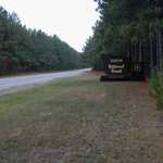
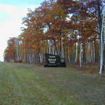
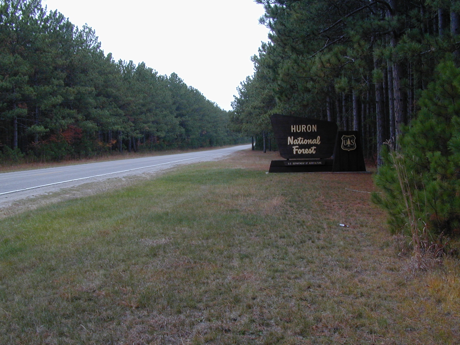
Dark green pines huddle around a sign on Monument Road, welcoming visitors to the Huron National Forest.
Public Domain.
Download Original (1600 x 1200 pixels, 1207.4 MB)
-
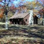
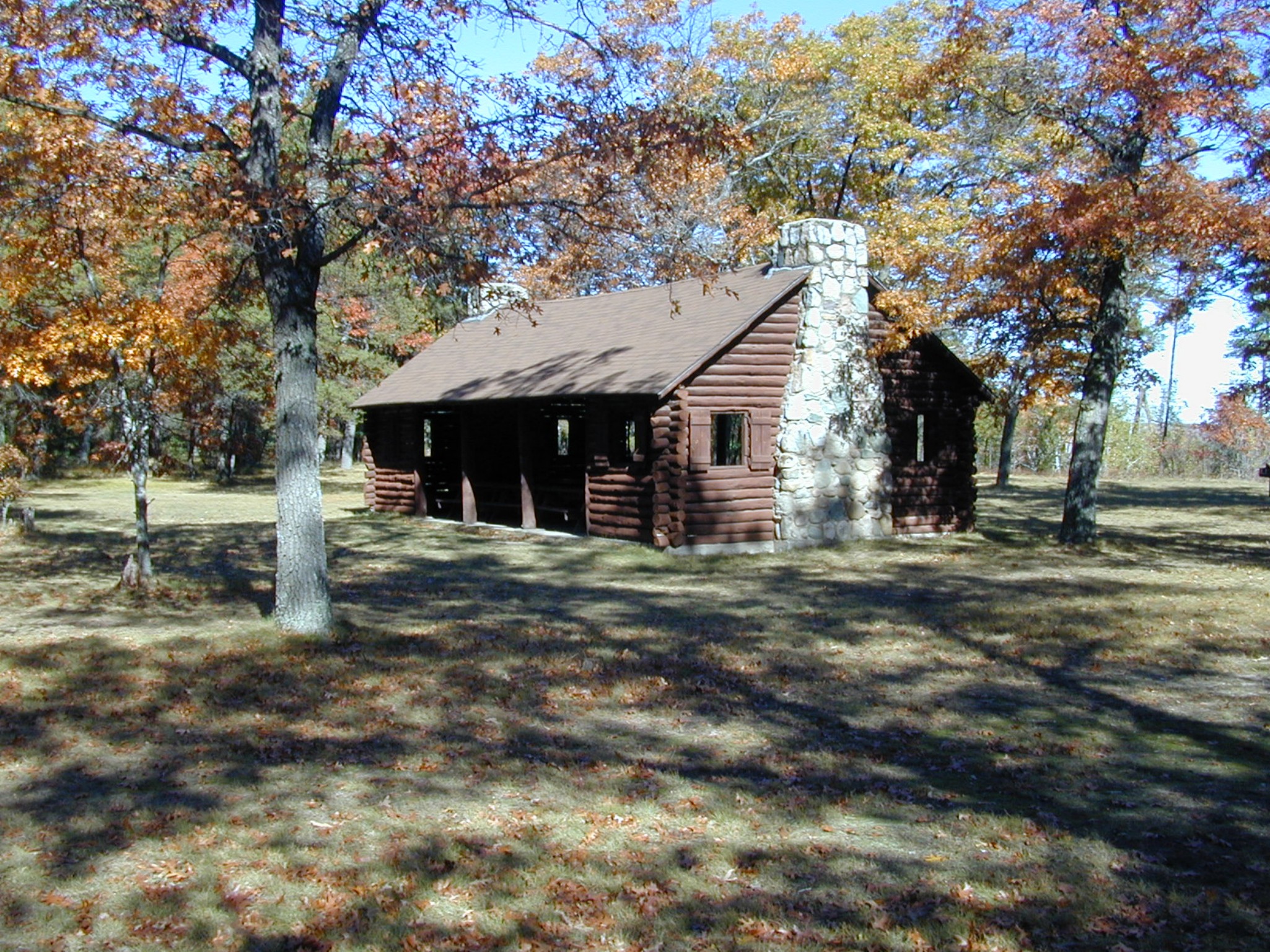
Fall colors overhang the log-built Rollways Picnic Shelter. The cabin sits near Loud Pond of the Au Sable River.
Public Domain.
Download Original (2050 x 1537 pixels, 992.5 KB)
-
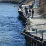
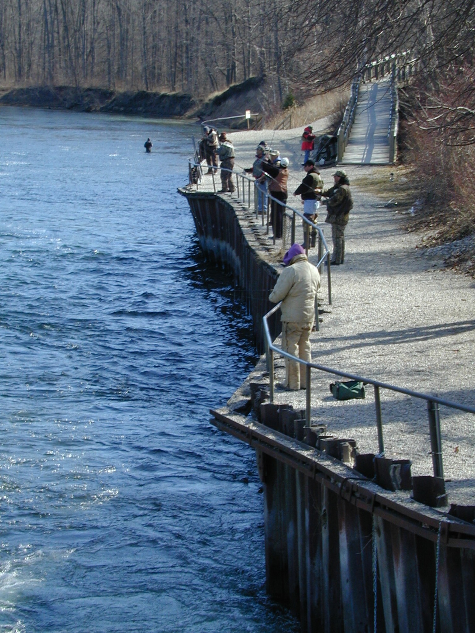
Fishermen lean on the railings to try to catch a steelhead fish at the Foote Hydroelectric Dam.
Public Domain.
Download Original (1537 x 2050 pixels, 739.4 KB)
-
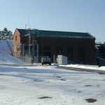
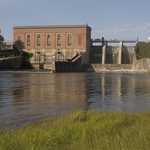
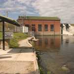
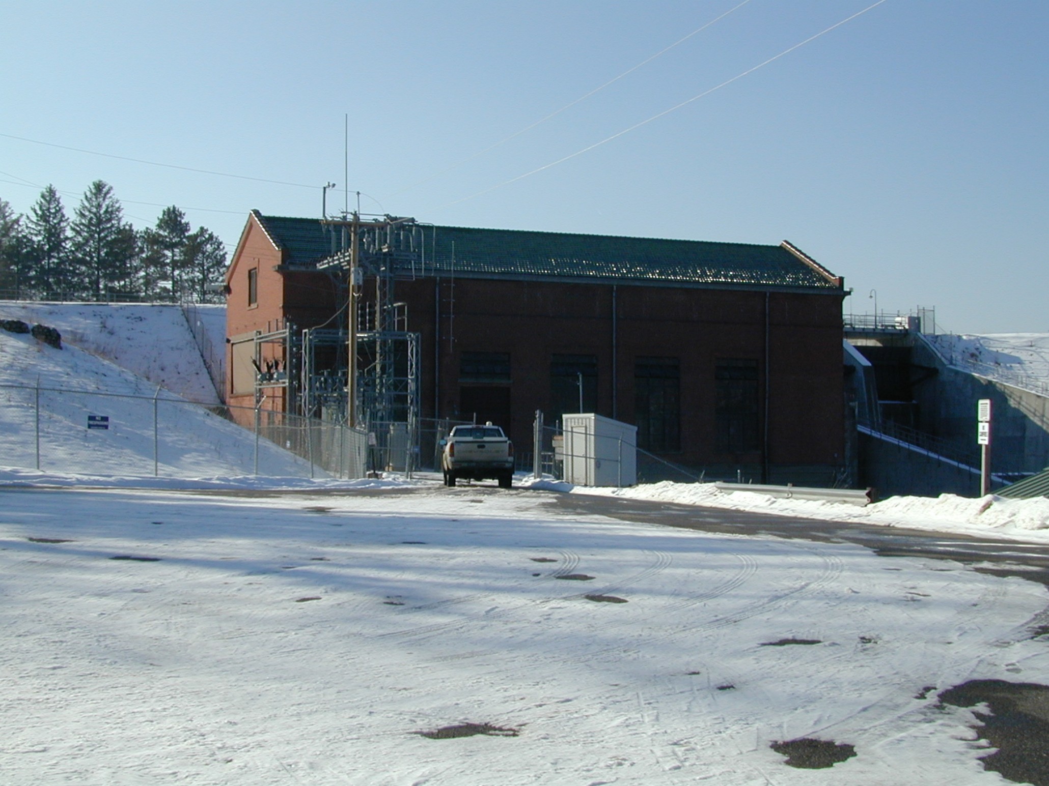
The red brick of the Cooke Hydroelectric Dam powerhouse contrasts brightly with surrounding snow and ice.
Public Domain.
Download Original (2060 x 1545 pixels, 524.5 KB)
-
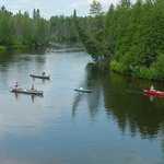
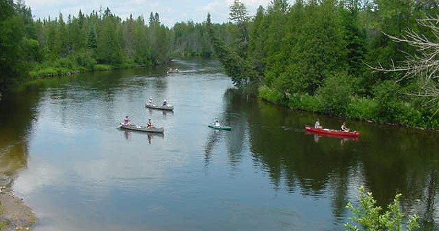
Canoeists float along the pristine waters of the Au Sable River.
Public Domain.
Download Original (634 x 334 pixels, 62.5 KB)
-
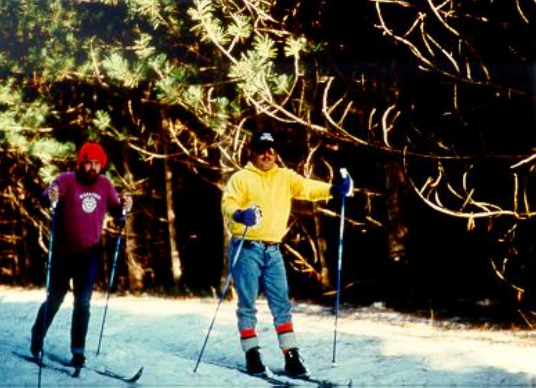
Skiiers enjoy a day on the Corsair Trail System.
Public Domain.
Download Original (2060 x 1491 pixels, 424.4 KB)
-

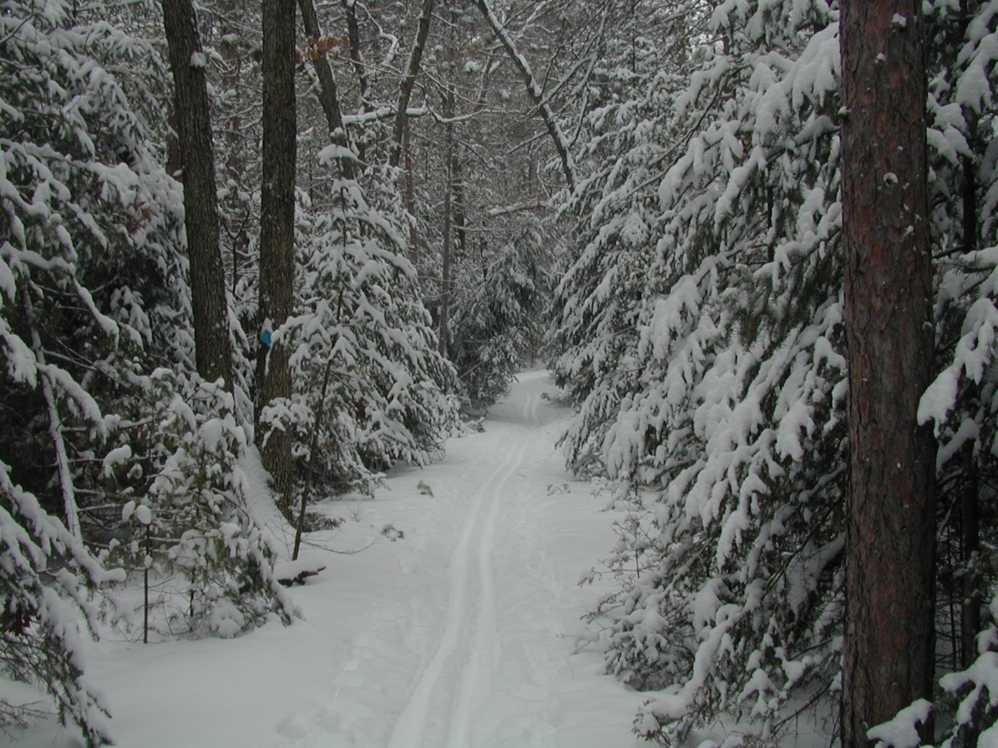
A lone set of ski tracks marks the snow between tall trees along the Highbanks Trail.
Public Domain.
Download Original (2050 x 1537 pixels, 716.4 KB)
-
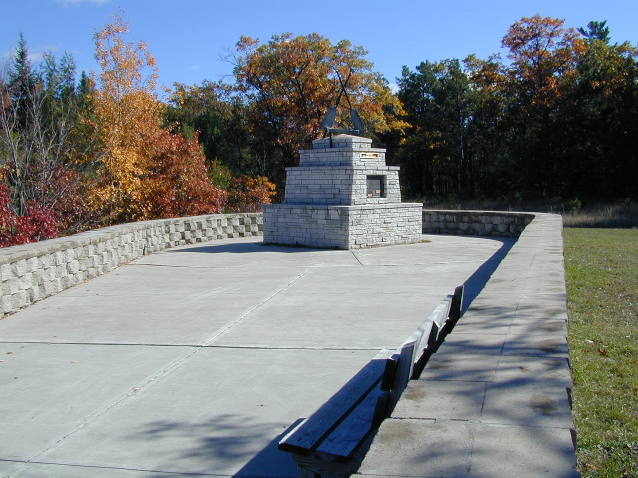
The pale stone of Canoers Memorial is edged by trees in fall color.
Public Domain.
Download Original (2060 x 1545 pixels, 671.1 KB)
-
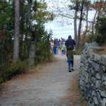
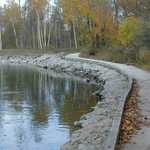
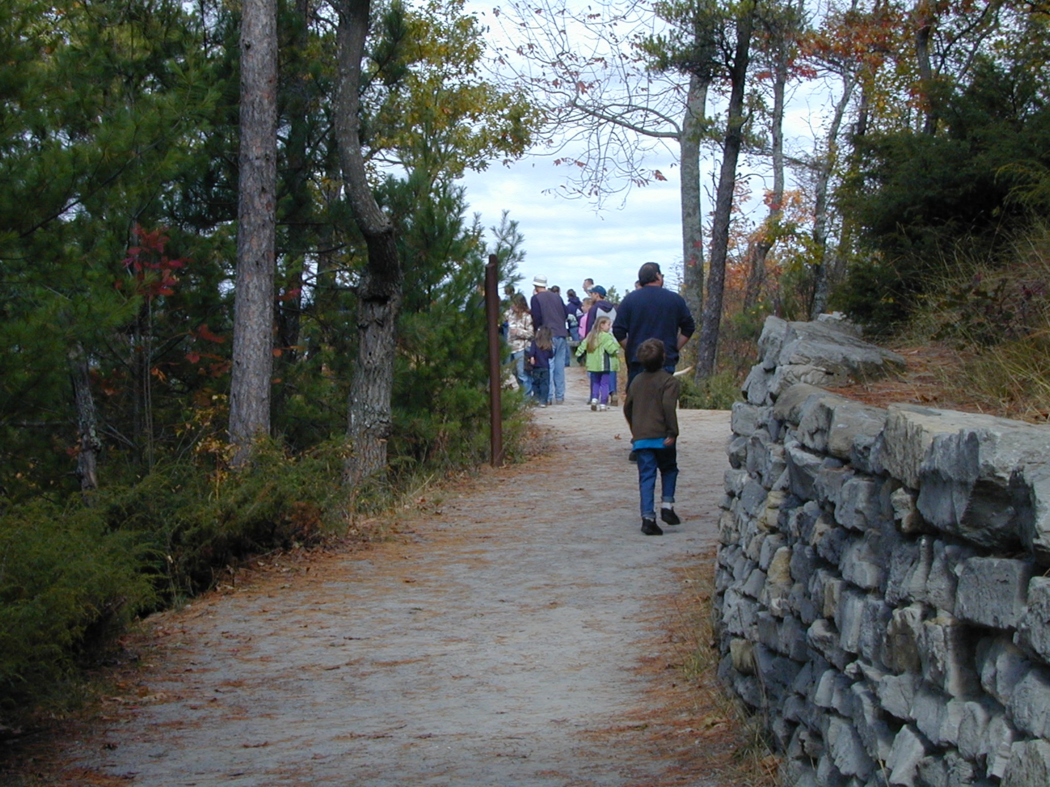
Visitors enjoy an autumn walk along the Dune Trail at Lumberman's Monument Visitor Center. This short trail is hard surfaced and flat, ending at the dune area observation deck.
Public Domain.
Download Original (2050 x 1537 pixels, 753.2 KB)
-
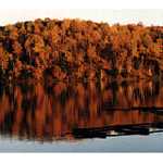
Reflected as if it were in a pool of glass, this forest is on fire with color.
Public Domain.
Download Original (286 x 160 pixels, 30.0 KB)
-
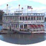
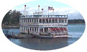
The River Queen, the only paddlewheel river boat operating in northern Michigan, take off from the docks.
Public Domain.
Download Original (180 x 109 pixels, 9.6 KB)
-

This signboard located at Eastgate Welcome Center contains orientation maps and other information to help travelers with their destination plans.
Public Domain.
Download Original (2050 x 1537 pixels, 774.7 KB)
-
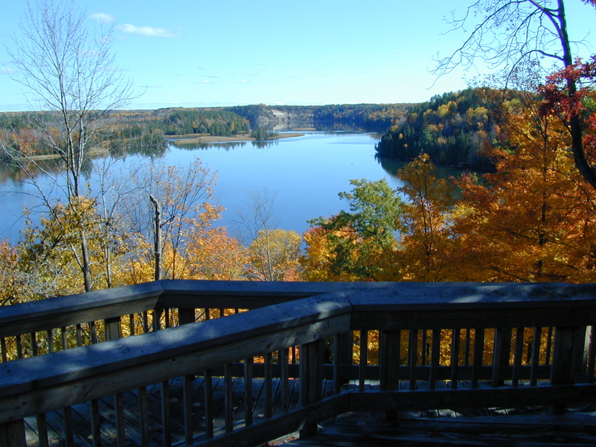
The blue of the Au Sable River is made brighter by surrounding autumn foliage in this view from the east overlook at Westgate Welcome Center. The viewing platforms are fully accessible and located close to parking.
Public Domain.
Download Original (2060 x 1545 pixels, 684.3 KB)
-

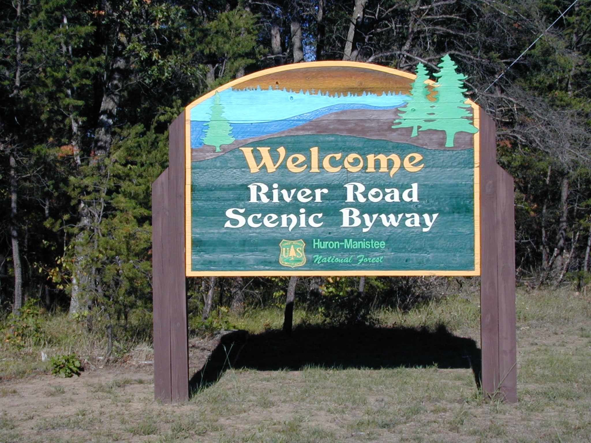
Bright, bold signs welcome visitors to River Road Scenic Byway and the Huron-Manistee National Forests. The unique signing along River Road lets travelers know they are entering a special area within the forest.
Public Domain.
Download Original (2048 x 1536 pixels, 730.5 KB)
-
A scenic byway assurance marker is attached below the larger M-65 and River Road Junction sign.
Public Domain.
Download Original (2060 x 1545 pixels, 761.7 KB)
-
This public fishing pier on Cooke Pond provides an easily accessible area to anyone wishing to dangle a hook in the water. It's also an inviting place to sit and enjoy the water or view the operation of Cooke Dam.
Public Domain.
Download Original (1545 x 2060 pixels, 739.0 KB)
-
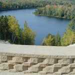
The Foote Pond Overlook offers a broad view of the Au Sable River Valley landscape. The overlook is an excellent location for taking fall color photographs or watching for bald eagles soaring over the water.
Public Domain.
Download Original (1537 x 2050 pixels, 680.9 KB)
-

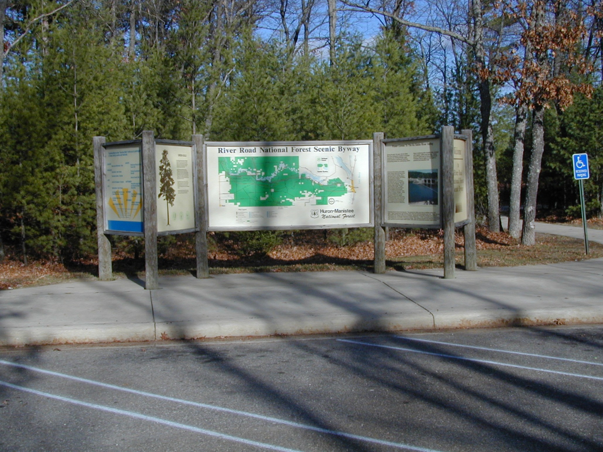
The many panels of an orientation kiosk offer helpful information at the Westgate Welcome Center. The Westgate and Eastgate Welcome Centers have large maps showing the Byway route, features, trails, and visitor facilities. Interpretive panels tell about historical events and natural features of the Au Sable River Valley.
Public Domain.
Download Original (2060 x 1545 pixels, 714.6 KB)
-

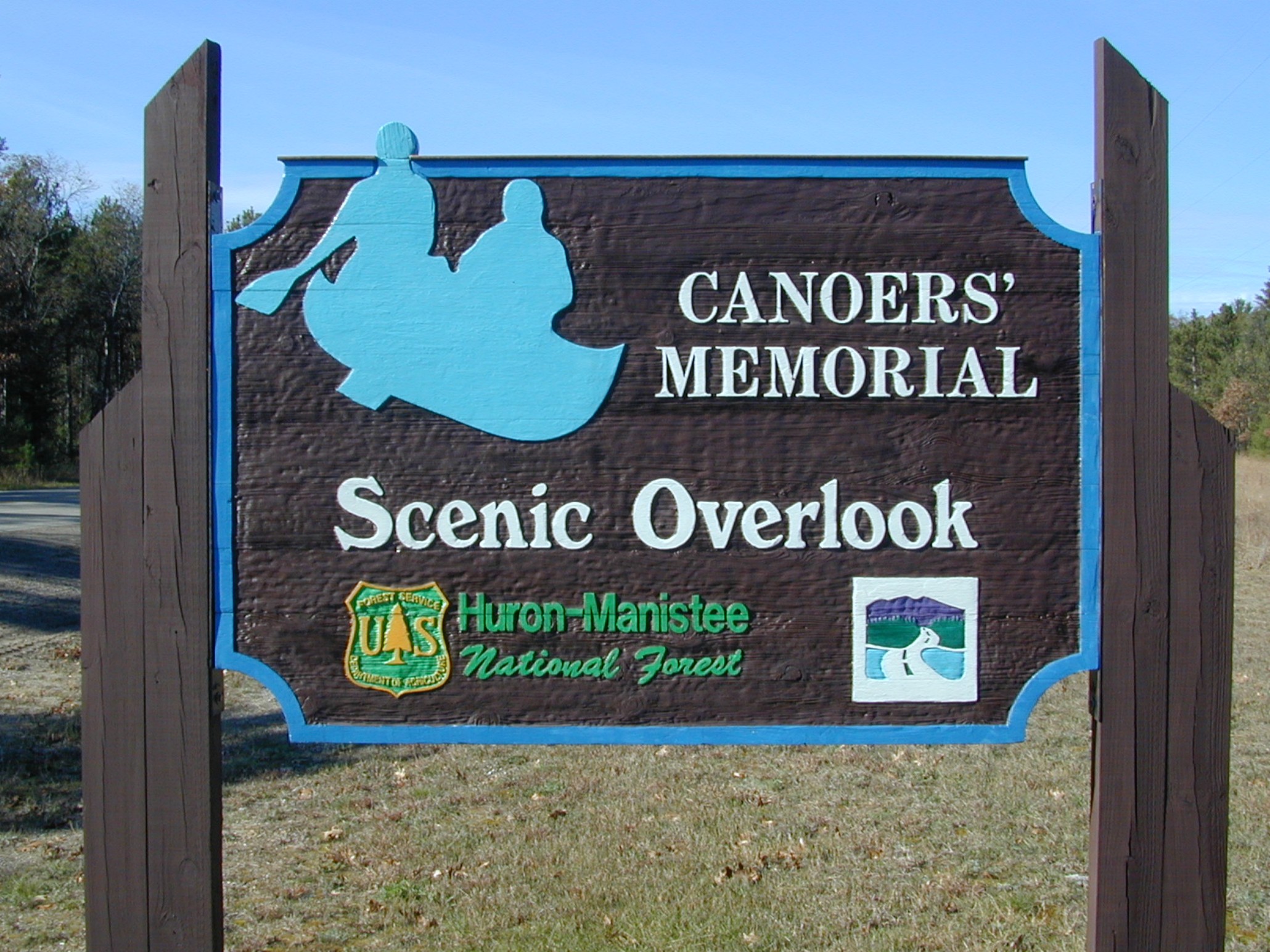
Immediately evident from the highway, the unique design of the Canoers Memorial Entrance Sign lets travelers know this is a Byway attraction.
Public Domain.
Download Original (2060 x 1545 pixels, 671.6 KB)
-
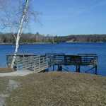
This fishing area at Whirlpool River Access is one of three located along River Road. These fishing piers offer easy access to the water for those travelers that don't want to negotiate steep banks or don't have a boat to get out onto the water.
Public Domain.
Download Original (2050 x 1066 pixels, 550.8 KB)
-
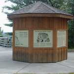
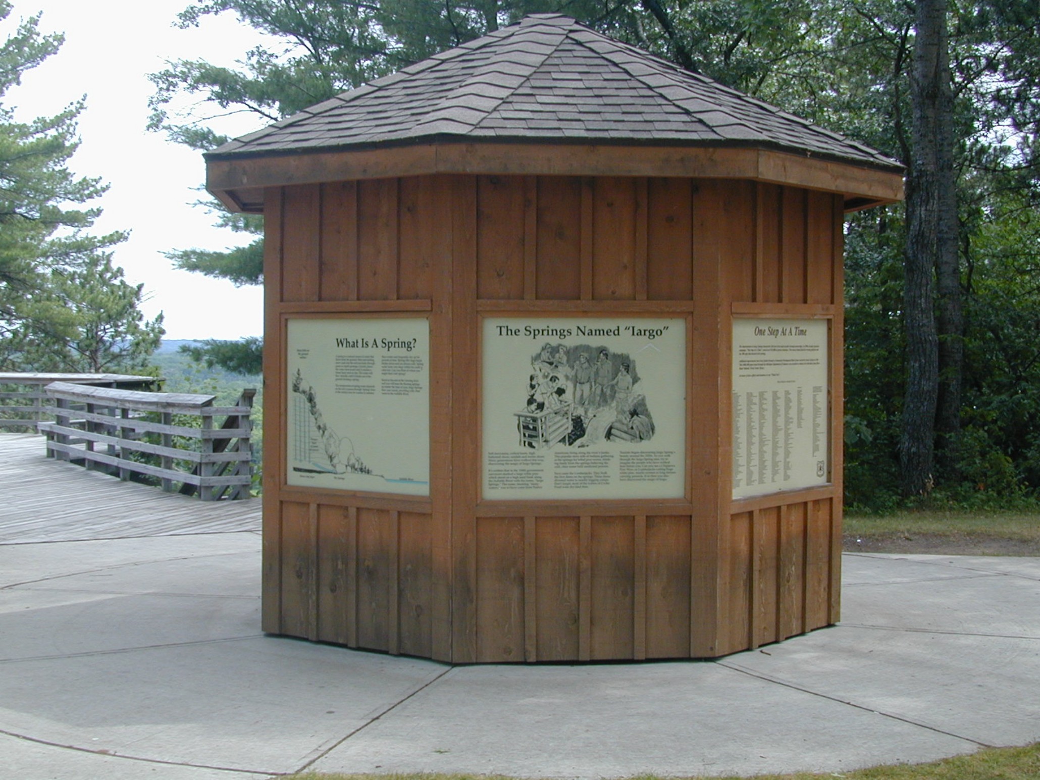
These interpretive signs at Iargo Springs tell of the area's cultural and natural history. A pictorial display of the spring area gives those unable to go down the stairway an opportunity to share the experience through photographs.
Public Domain.
Download Original (2060 x 1545 pixels, 610.8 KB)
-
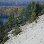
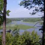
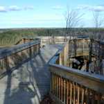
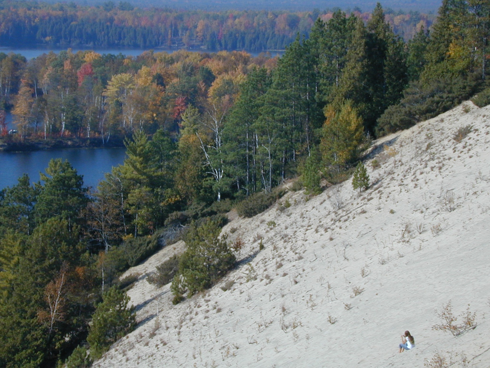
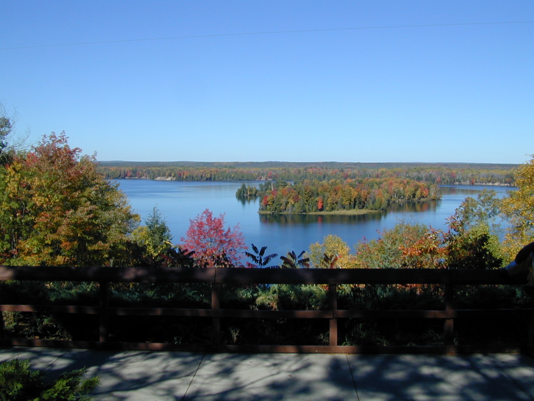
The view from the Highbanks Sand Dune at Lumberman's Monument is legendary. Close to 200 feet above the Au Sable River, this expansive view is spellbinding to visitors of all ages.
Public Domain.
Download Original (2060 x 1545 pixels, 684.6 KB)
-
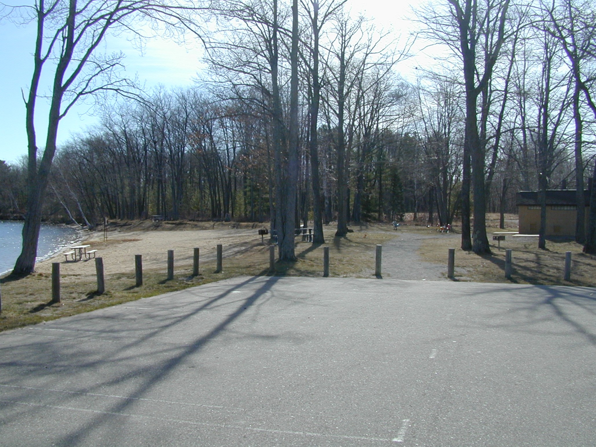
The park is still quiet in this early spring photo, but as the only swimming beach along River Road, the spot will explode with activity come summer.
Public Domain.
Download Original (2060 x 1545 pixels, 804.2 KB)
-
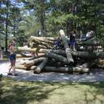
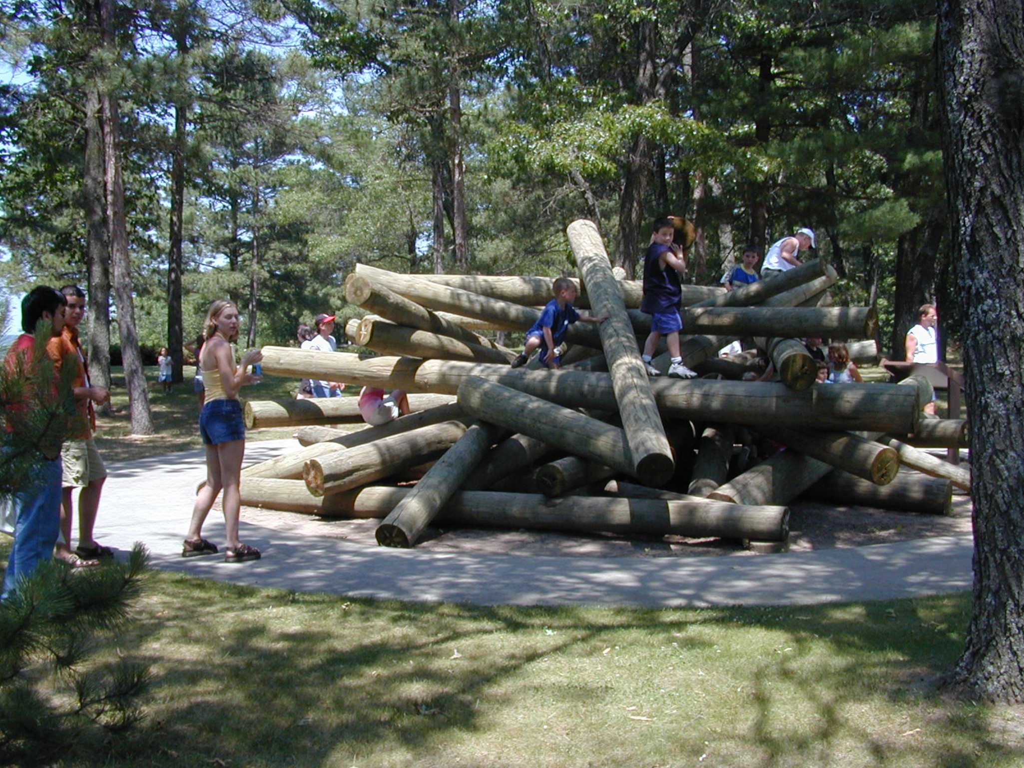
Visitors climb through a simulated log jam at Lumberman's Monument Visitor Center. This is one of several exhibits that tell the lumberjacks' stories.
Public Domain.
Download Original (2050 x 1537 pixels, 792.4 KB)
-
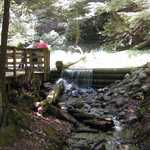
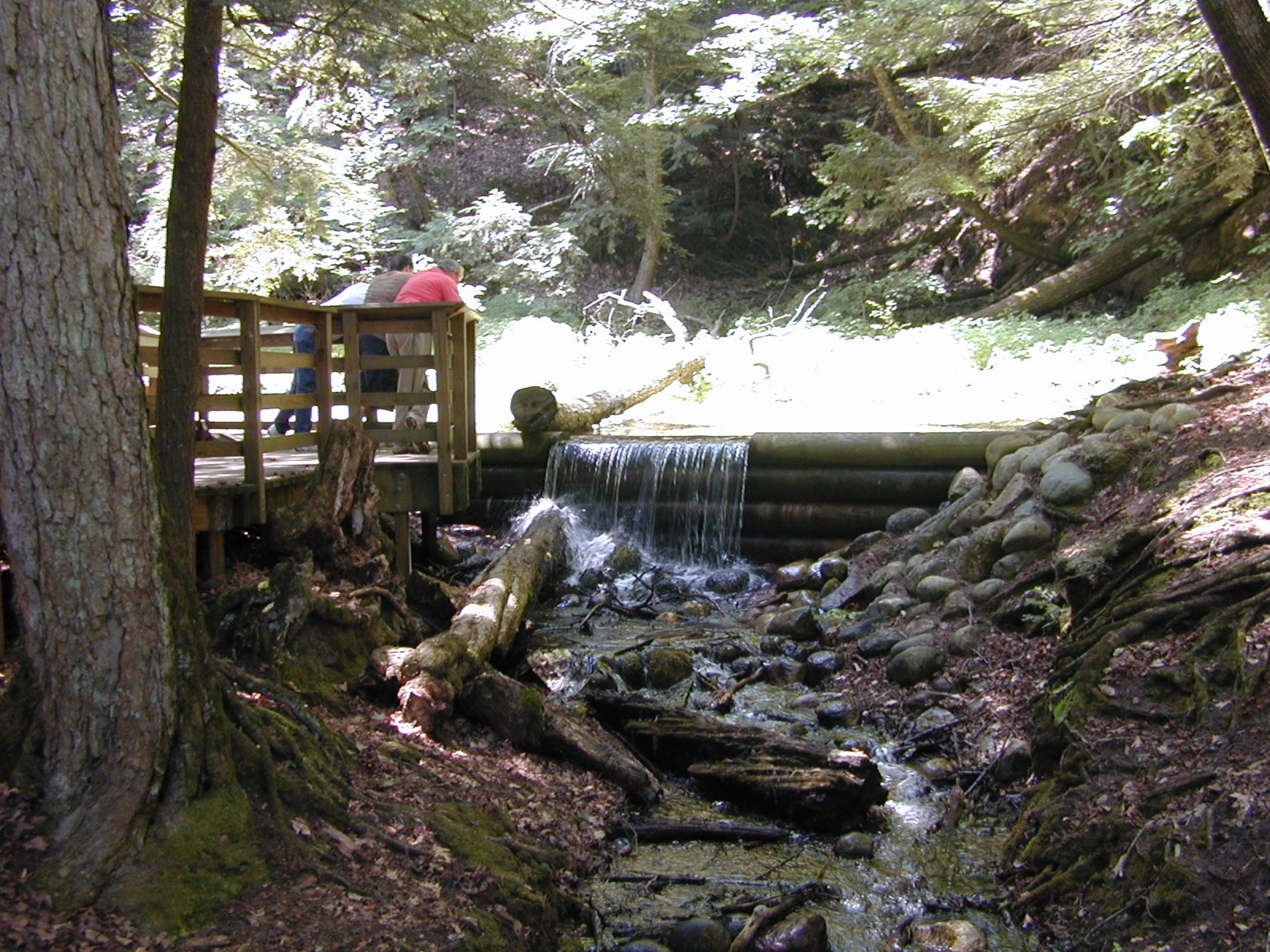
Low-level log dams create small waterfalls on two of the springs.Viewing decks offer quiet areas to reflect and enjoy the gurgling streams that flow year-round.
Public Domain.
Download Original (2048 x 1536 pixels, 848.3 KB)
-
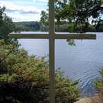
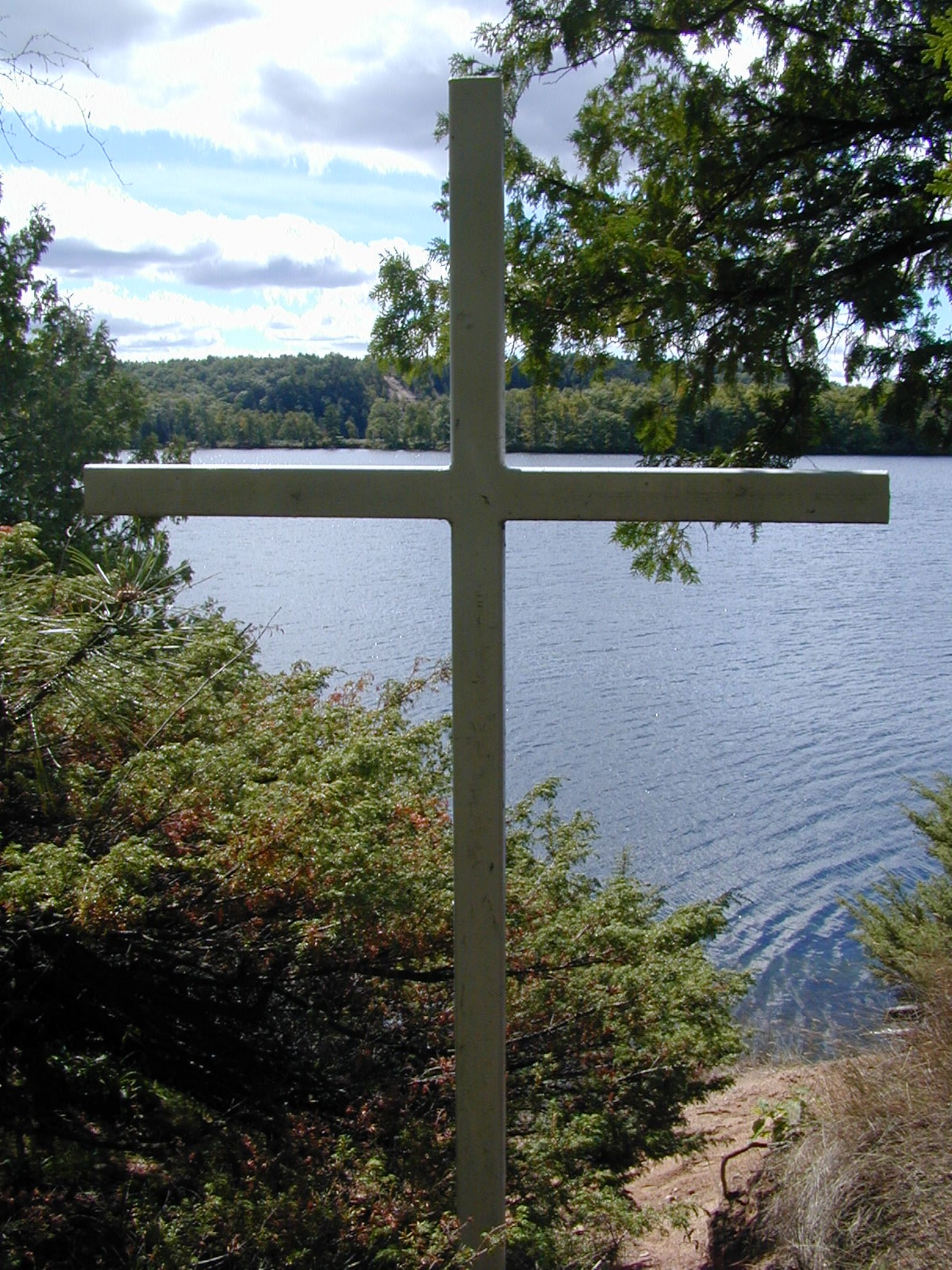
This cross has stood on the banks of Cooke Pond for several decades. Tucked among the trees, it marks the grave location of a lumberjack that lost his life while floating logs to Lake Huron.
Public Domain.
Download Original (1545 x 2060 pixels, 799.8 KB)
-
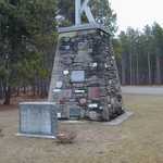
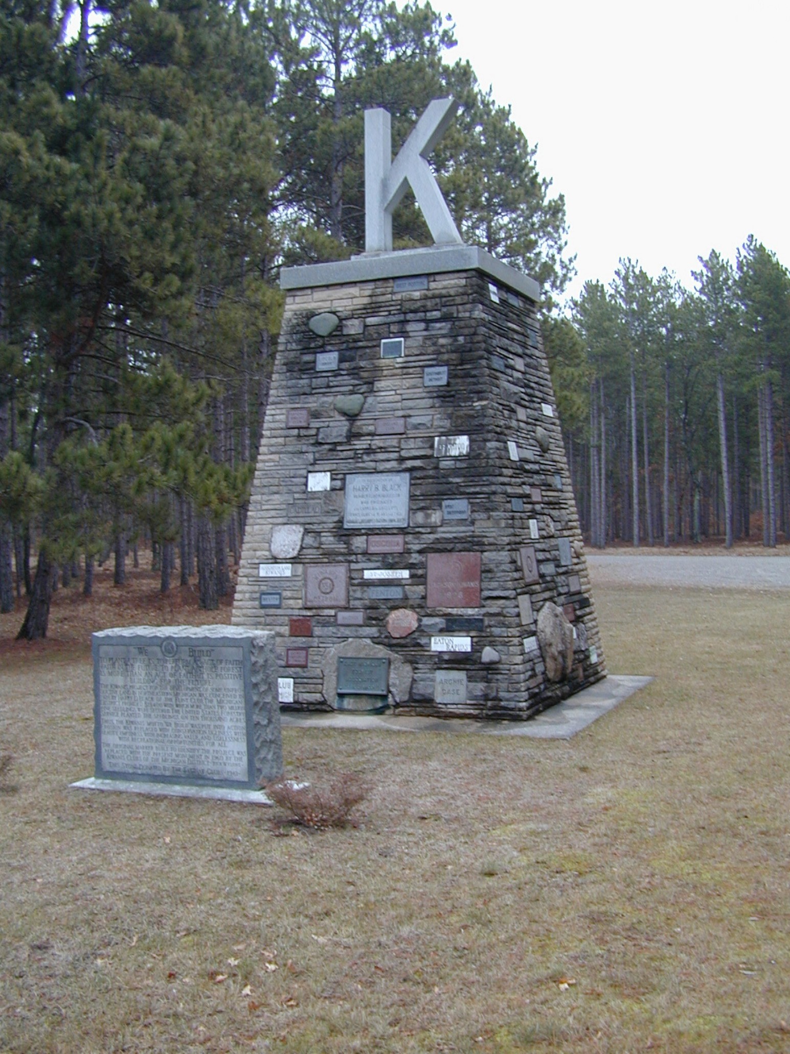
The Kiwanis Monument was constructed by the Kiwanis Clubs of Michigan, in recognition of their contribution to the reforestation efforts on the national forest. Each club is recognized with its own marker on the Monument.
Public Domain.
Download Original (1545 x 2060 pixels, 705.9 KB)
-
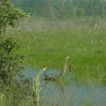
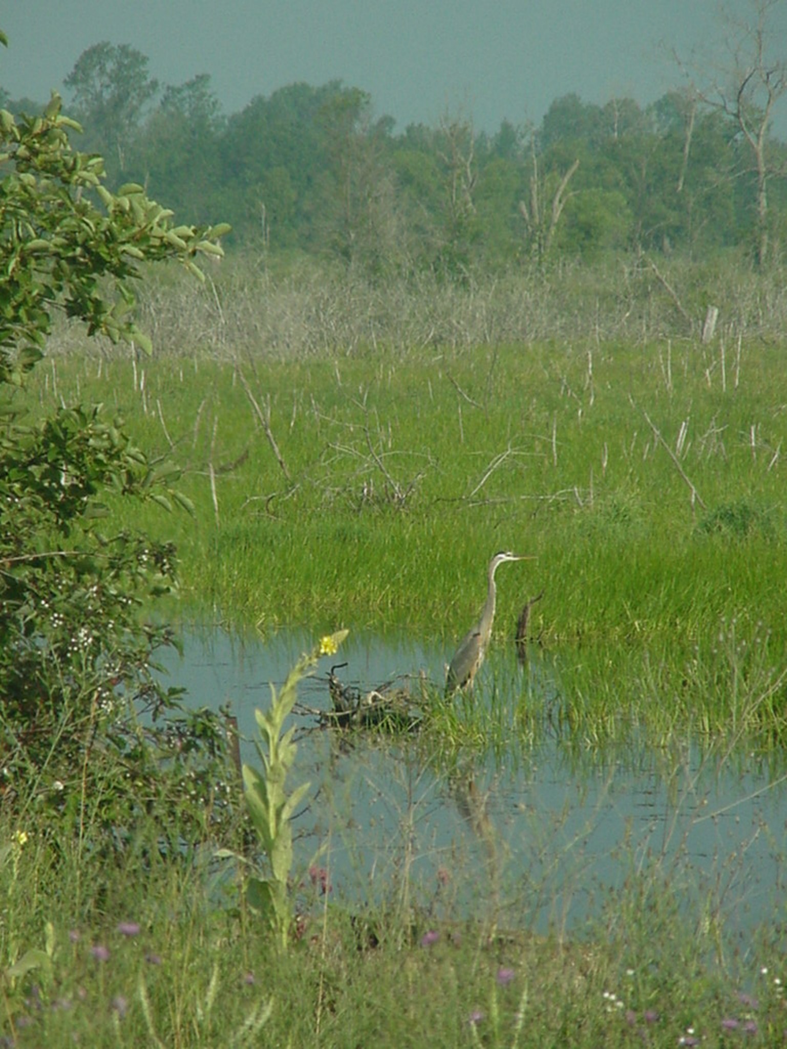
A great blue heron stands in one of the flooded ponds at Tuttle Marsh Wildlife Area.
Public Domain.
Download Original (1537 x 2050 pixels, 541.2 KB)
-
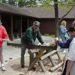
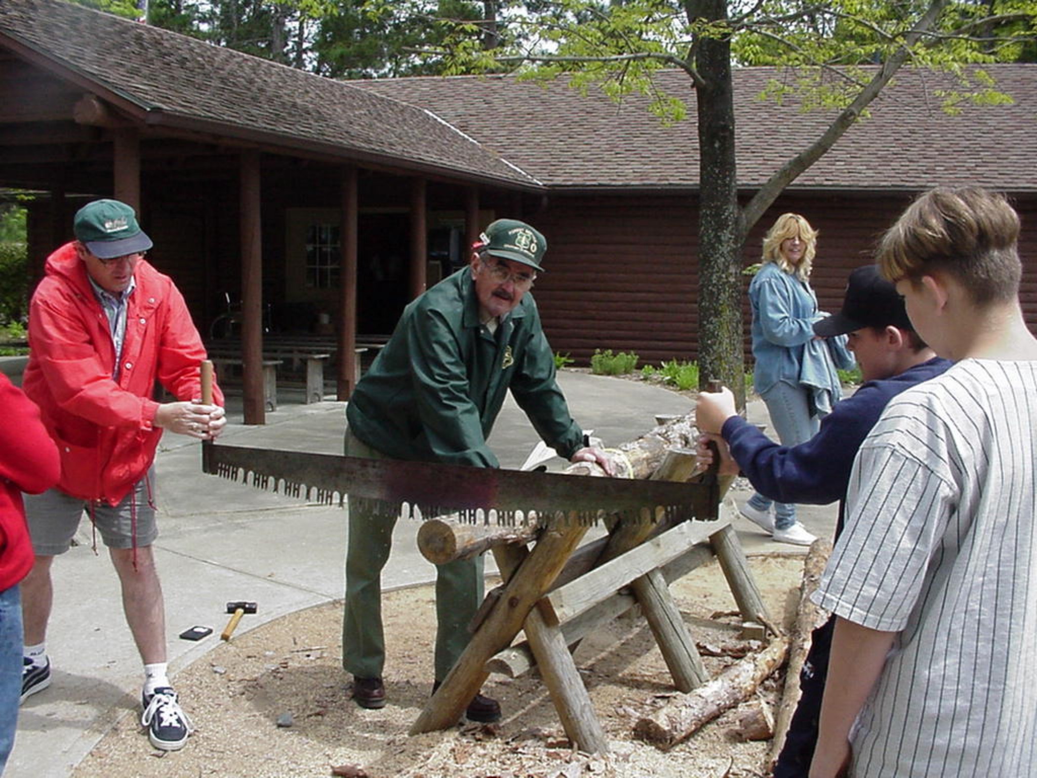
Visitors try their hand at using a cross-cut saw. Cut your own lumberjack cookie using a cross-cut saw in just one of many hands-on opportunities at Lumberman's Monument Visitor Center.
Public Domain.
Download Original (2048 x 1536 pixels, 630.7 KB)
-
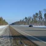
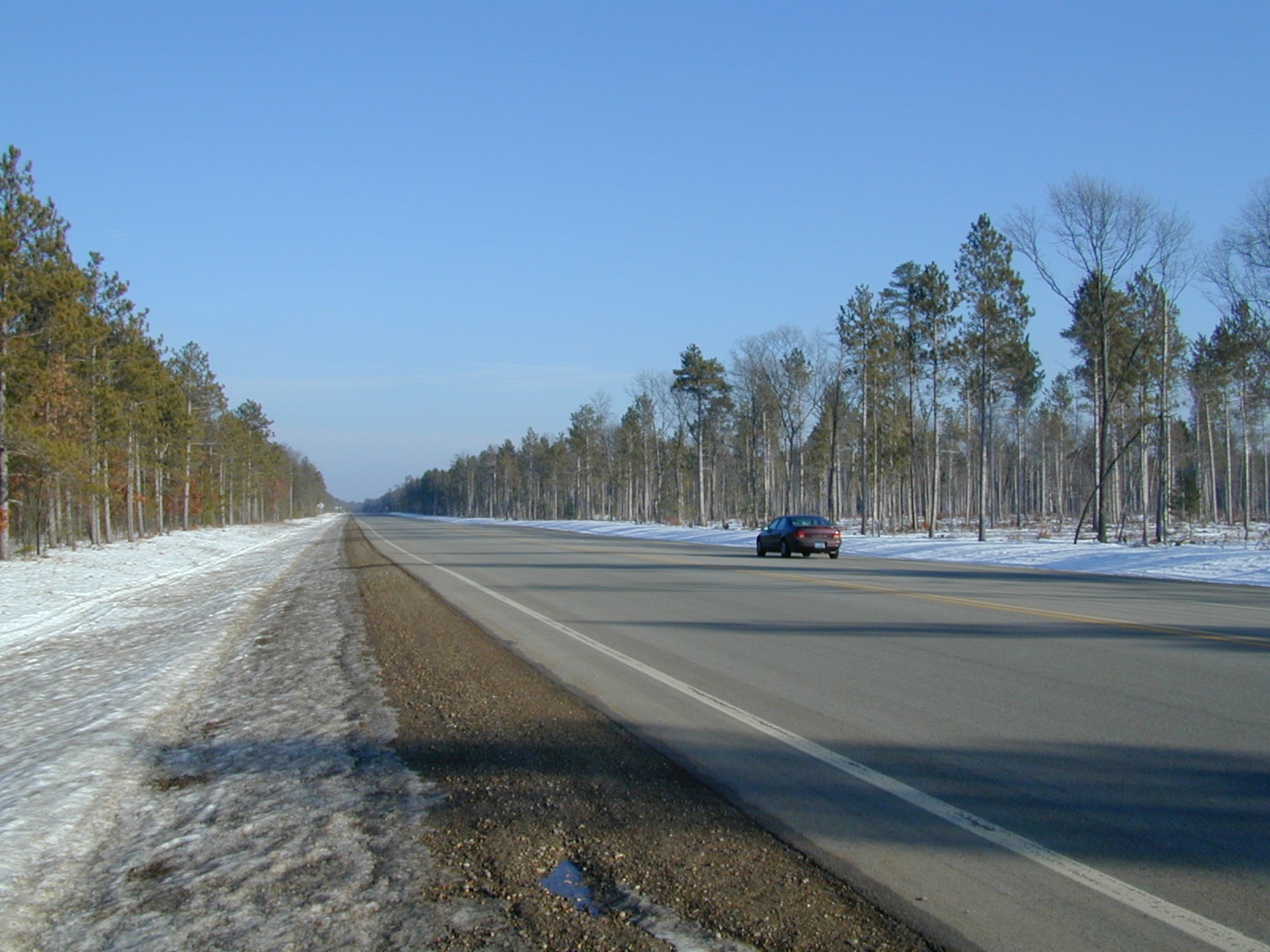
Trees line a wintry stretch of M-65. Byway travelers will experience a working national forest including tree harvesting, prescribed burning, wildfire control, and wildlife habitat improvement.
Public Domain.
Download Original (2060 x 1545 pixels, 569.2 KB)
-
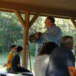
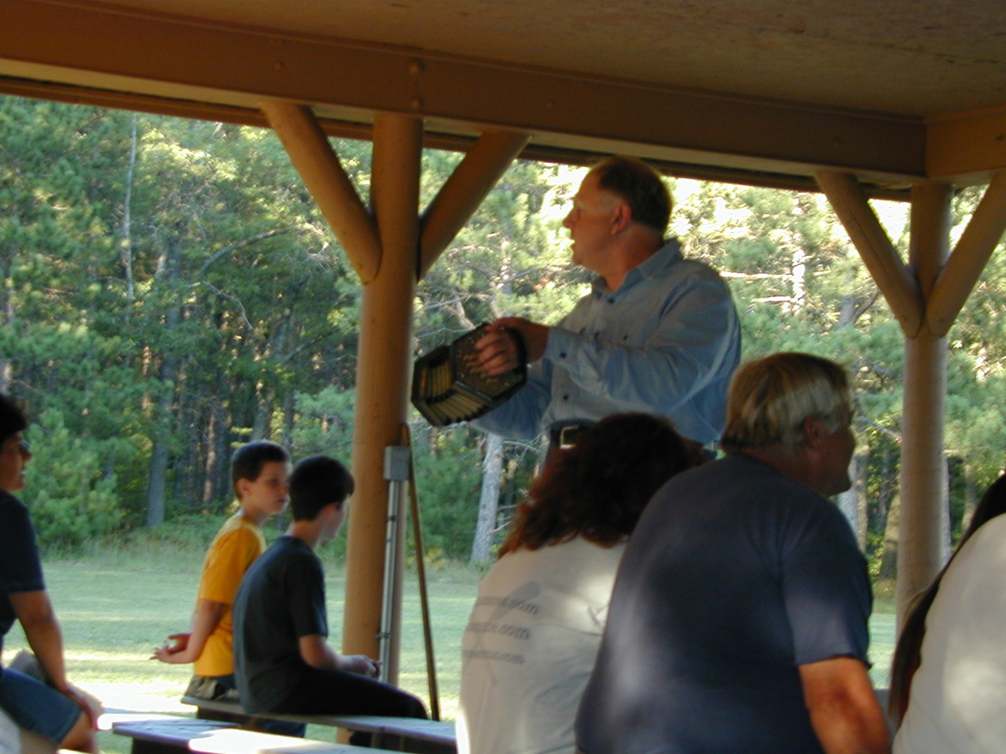
Michael Deren entertains the audience while telling the stories of the Michigan lumberjack. Interpretive programs are offered at Lumberman's Monument throughout the summer.
Public Domain.
Download Original (2050 x 1537 pixels, 535.5 KB)
-
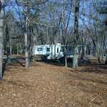
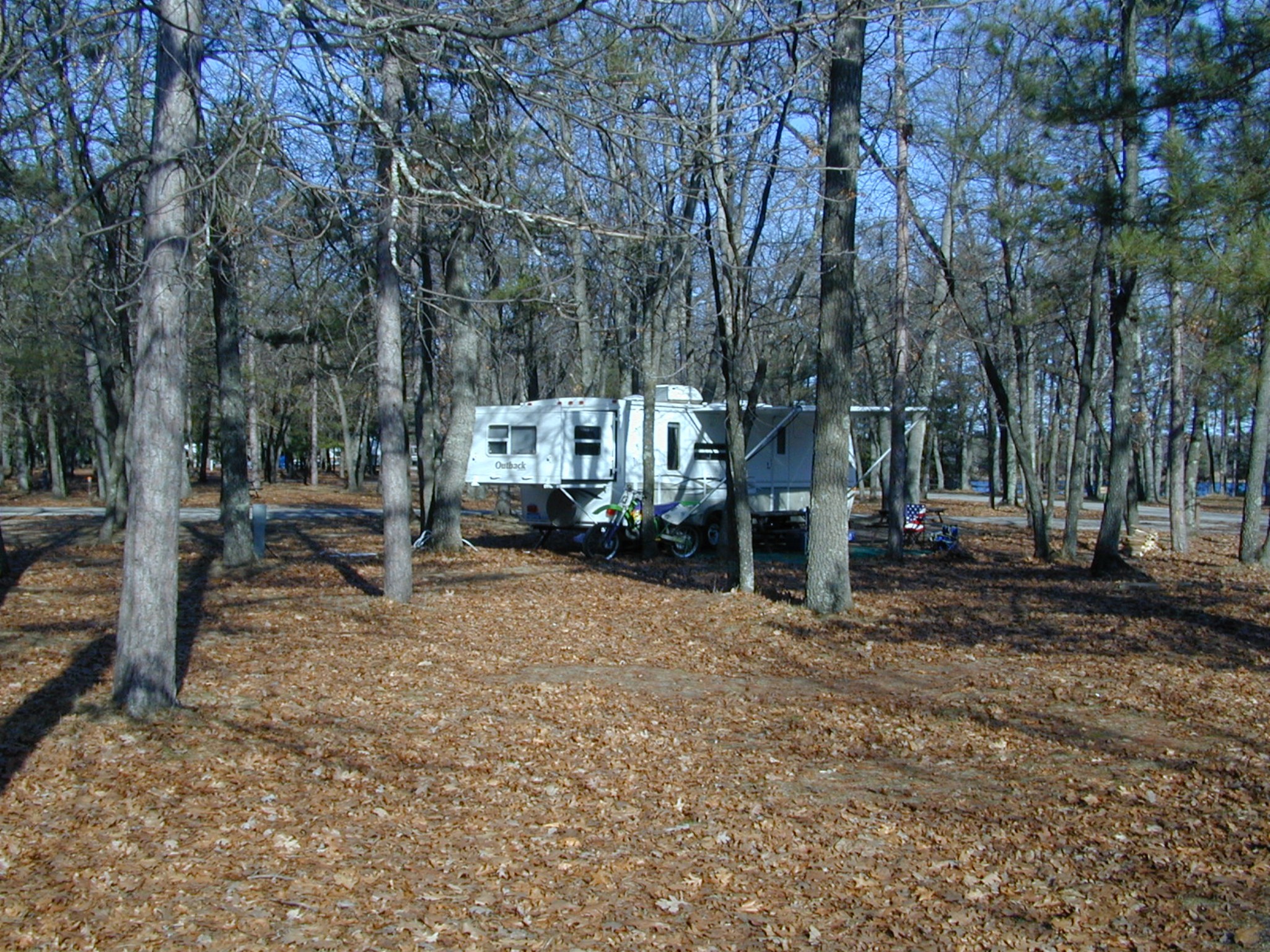
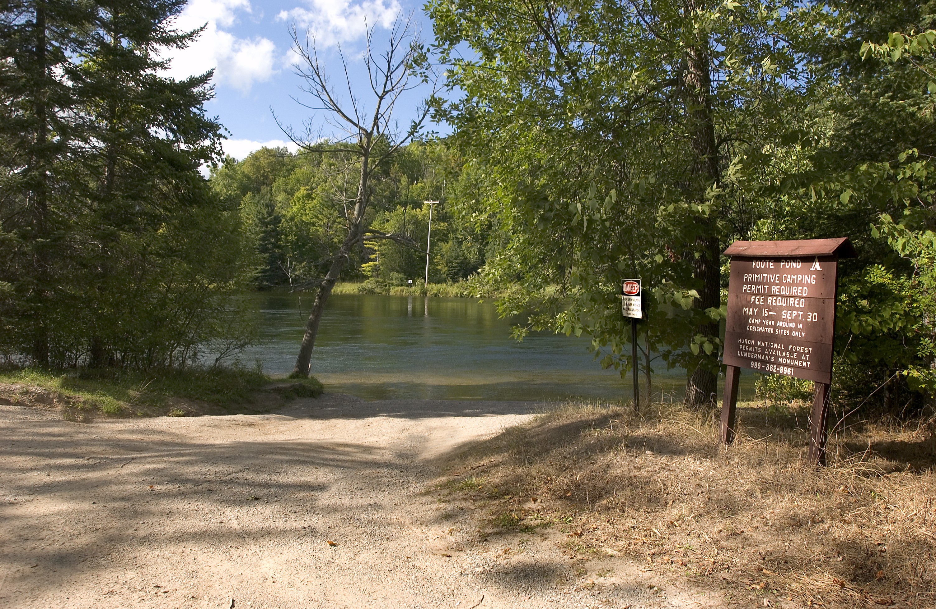
Old Orchard Campground sits along the shoreline of Foote Pond. The campsites are well shaded with plenty of room for large trailers and RVs. This campground does get busy on summer weekends and will fill up on holiday weekends.
Public Domain.
Download Original (2050 x 1537 pixels, 990.5 KB)
-

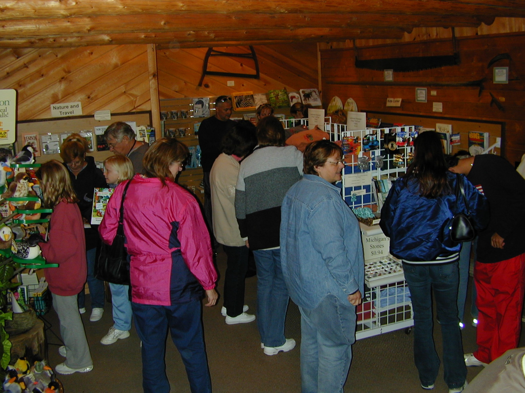
Visitors browse the small gift shop inside Lumberman's Monument Visitor Center, which features many books about the area's history, native plant and animal species, and travel guides. Postcards, T-shirts, and other souvenirs can be found here, as well.
Public Domain.
Download Original (2050 x 1537 pixels, 583.8 KB)
-
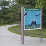
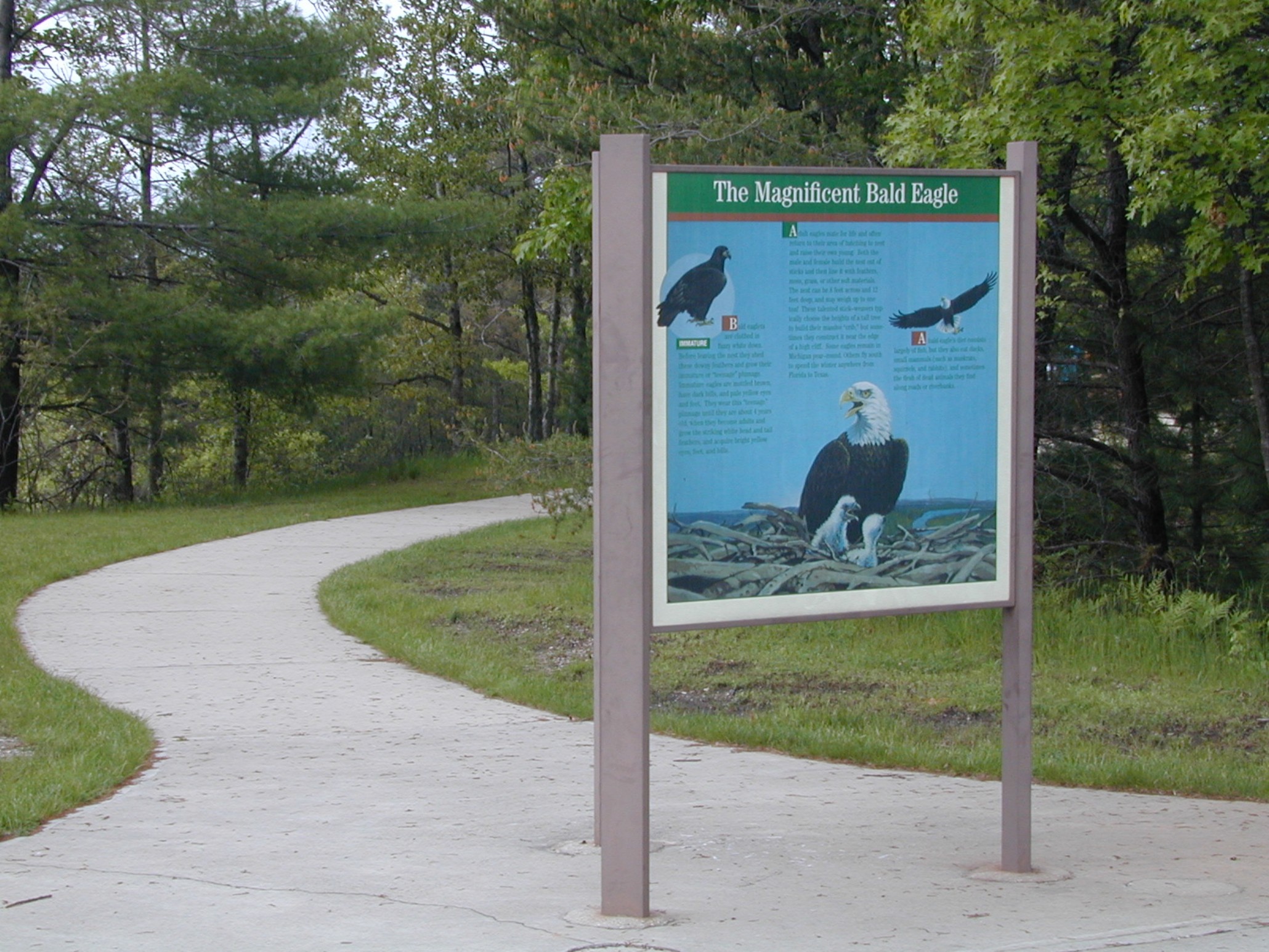
These panels at Foote Pond Overlook highlight the Bald Eagle, its history along the river, identification tips, and how the National Forest protects this magnificent bird.
Public Domain.
Download Original (2060 x 1545 pixels, 674.3 KB)
-

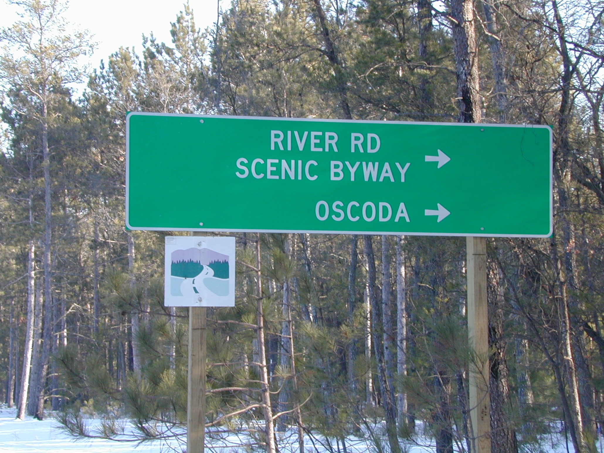
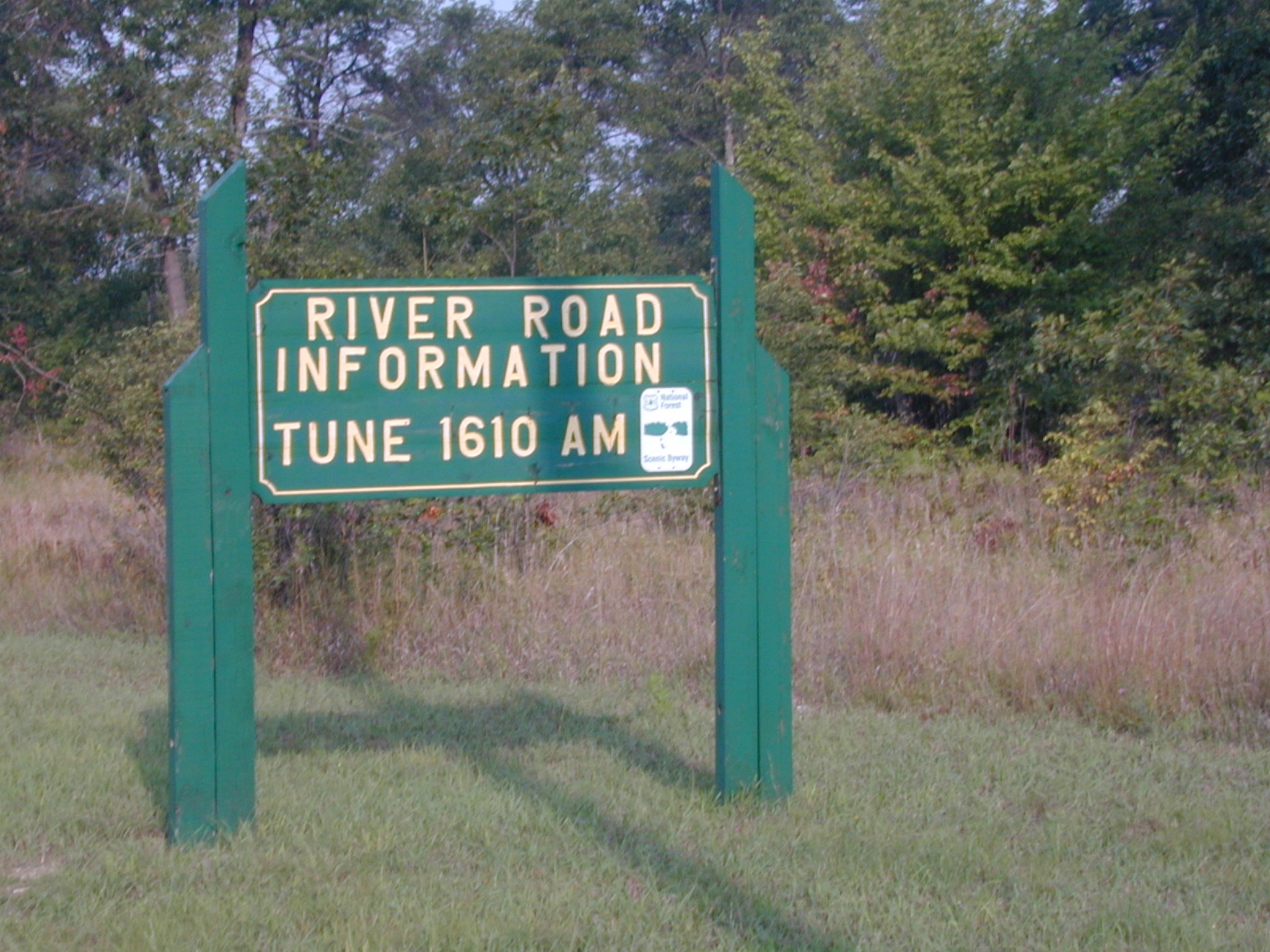
Signs such as this one can be found at each entrance to the River Road Scenic Byway and let travelers know to tune their radios to 1610 for up-to-date information about Byway activities, recreation, and where to go for more information.
Public Domain.
Download Original (2050 x 1537 pixels, 636.5 KB)
-
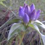
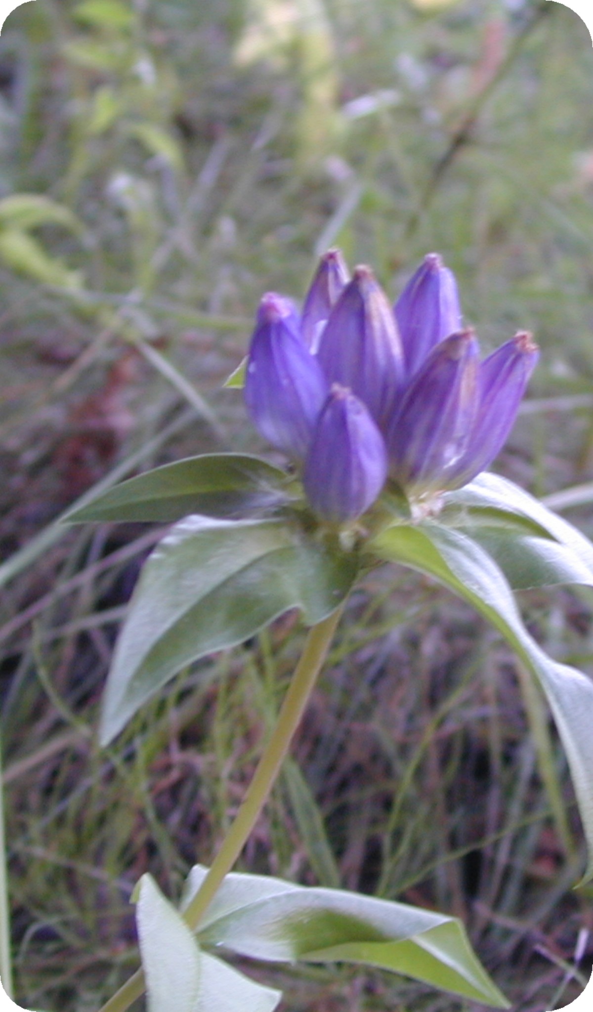
A lovely example of Bottle Gentian grows along the Au Sable River.
Public Domain.
Download Original (1200 x 2048 pixels, 310.8 KB)
-
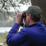
A byway enthusiast watches for birds at Iargo Springs.
Public Domain.
Download Original (2050 x 1537 pixels, 649.8 KB)
-
Shadows dapple the dirt road leading to the unimproved boat launch below Cooke Dam.
Public Domain. Photo courtesy of Consumers Energy
Download Original (3008 x 1960 pixels, 2201.1 MB)
-
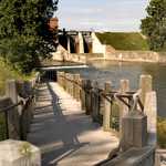
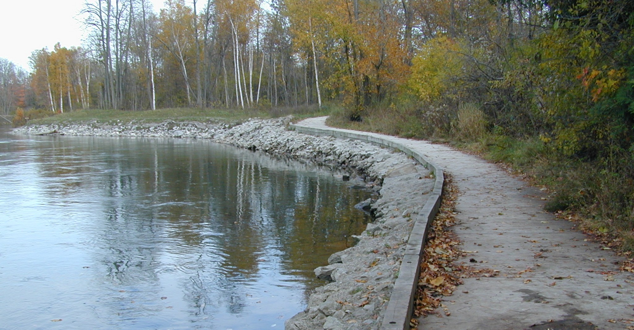
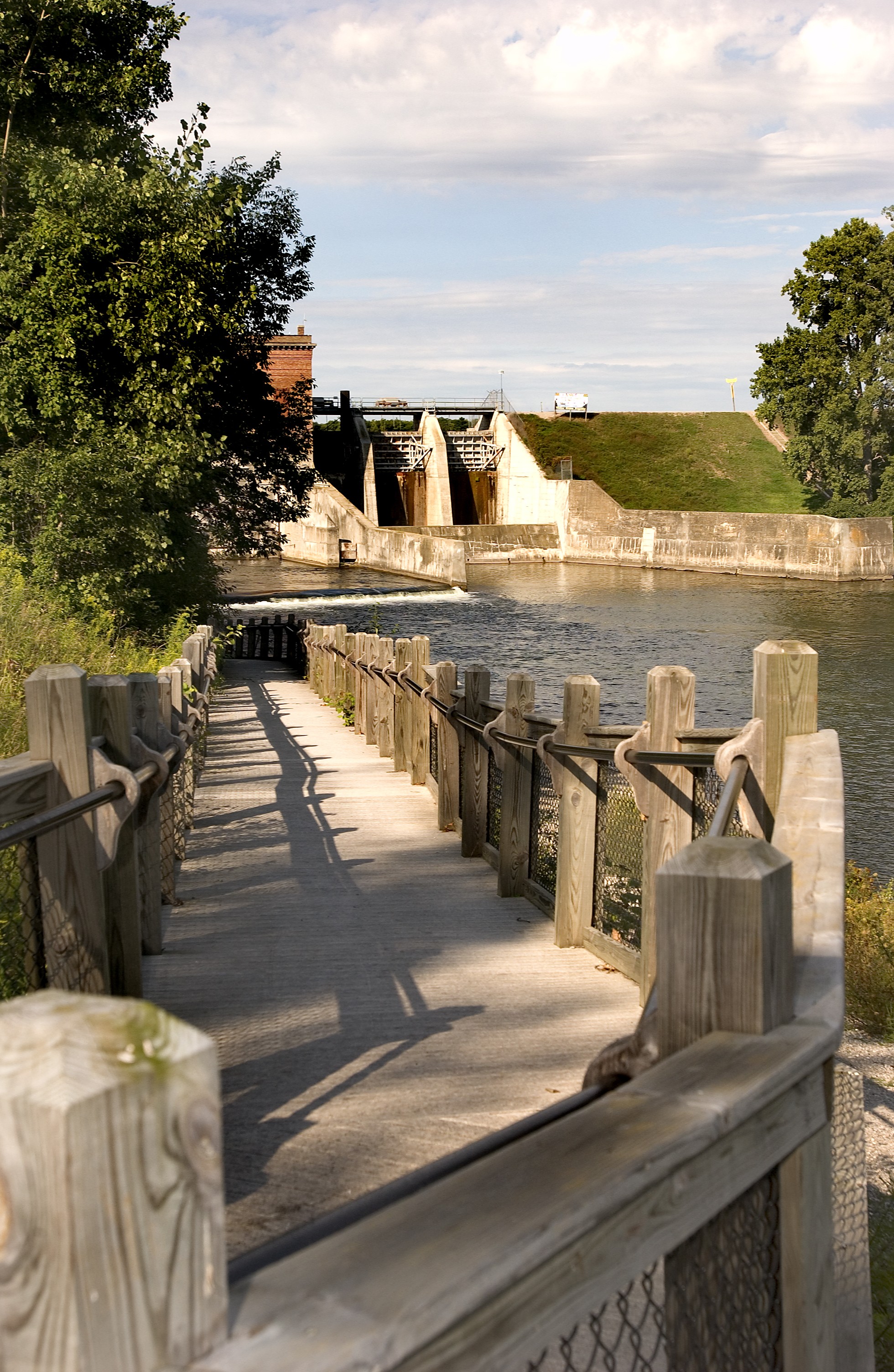
When visiting the Foote Dam, visitors can take a leisurely stroll along this path by the AuSable River.
Public Domain. Photo courtesy of Consumers Energy
Download Original (1960 x 3008 pixels, 1444.3 MB)
-
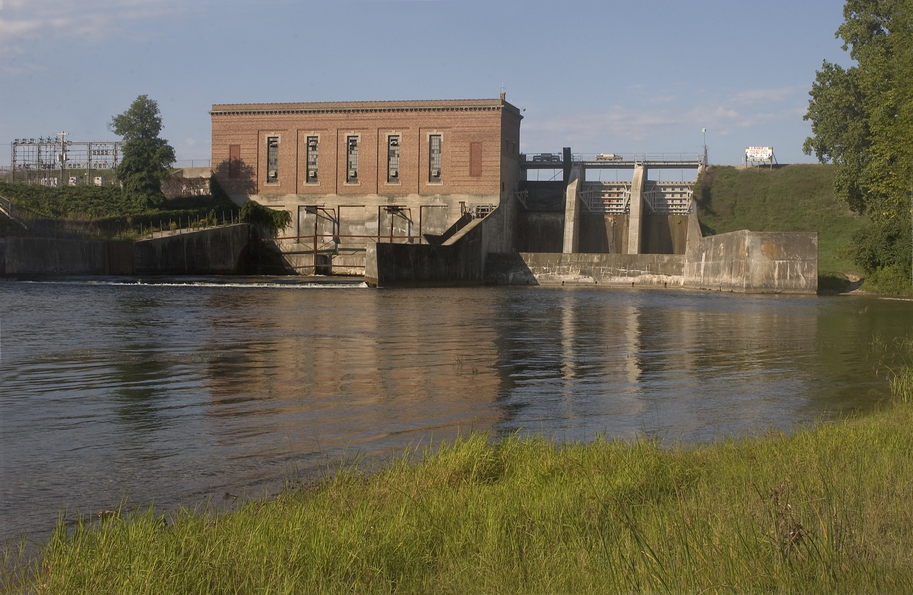
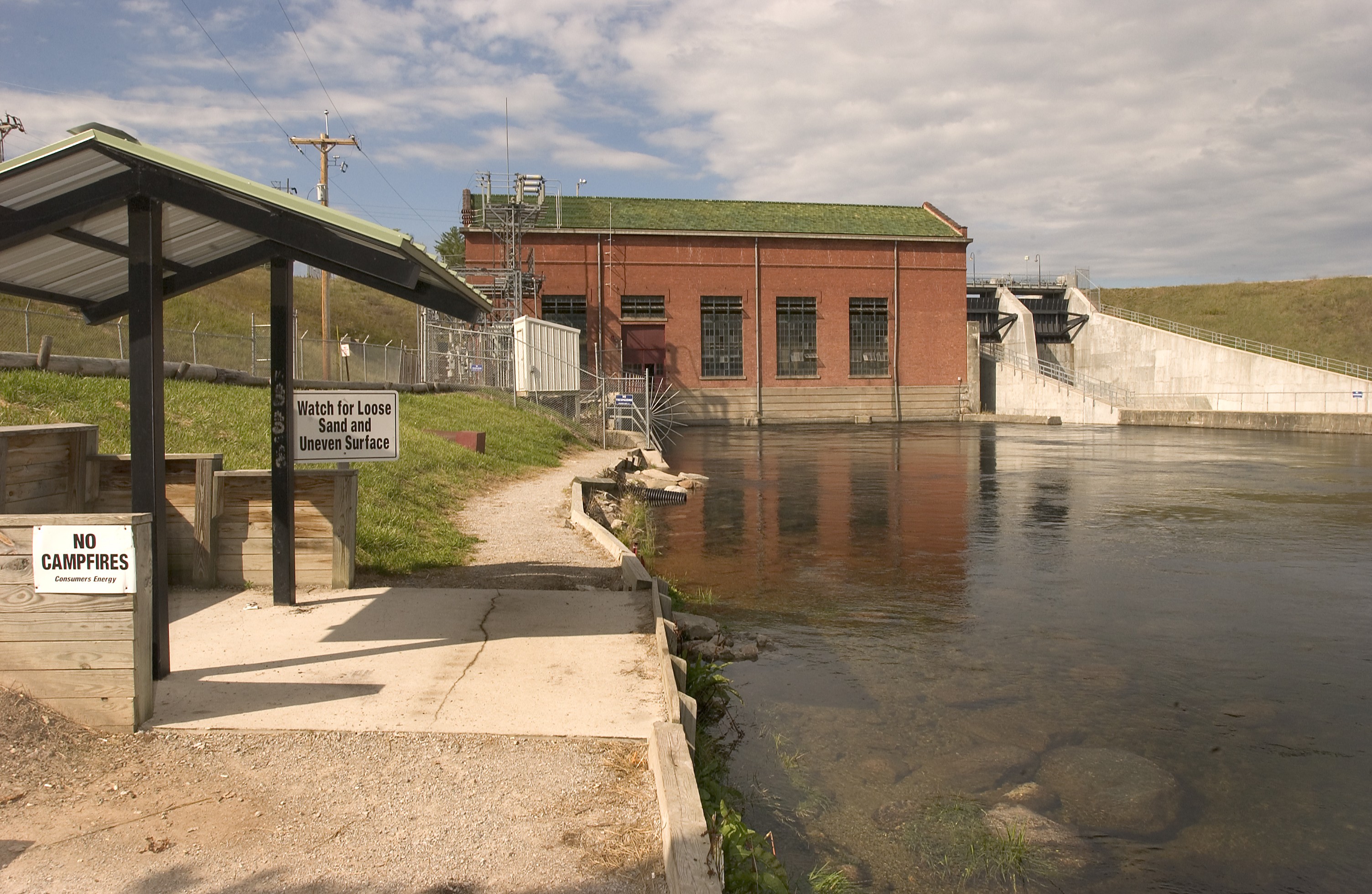
A weathered hydroelectric building associated with Foote Dam operations stands in the distance. The dam is on the AuSable River on the River Road Scenic Byway.
Public Domain. Photo courtesy of Consumers Energy
Download Original (3008 x 1960 pixels, 1436.2 MB)
-
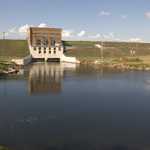
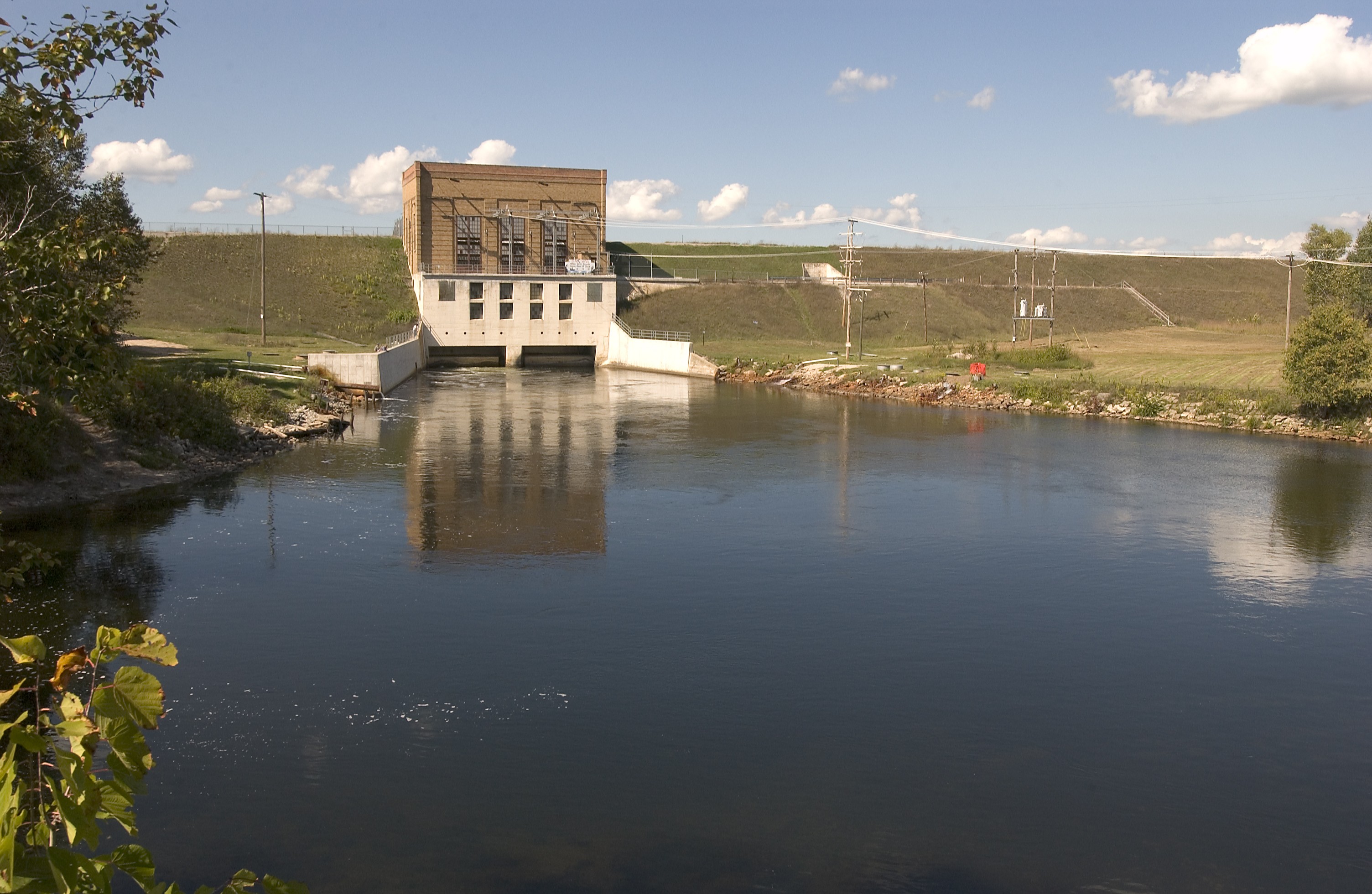
The water path of the AuSable River leads effortlessly up to Loud Dam.
Public Domain. Photo courtesy of Consumers Energy
Download Original (3008 x 1960 pixels, 992.2 KB)
-
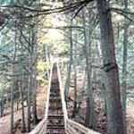
A fenced walkway leads the visitor through the pined woods.
Public Domain.
Download Original (126 x 230 pixels, 11.2 KB)
-
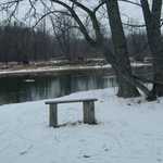
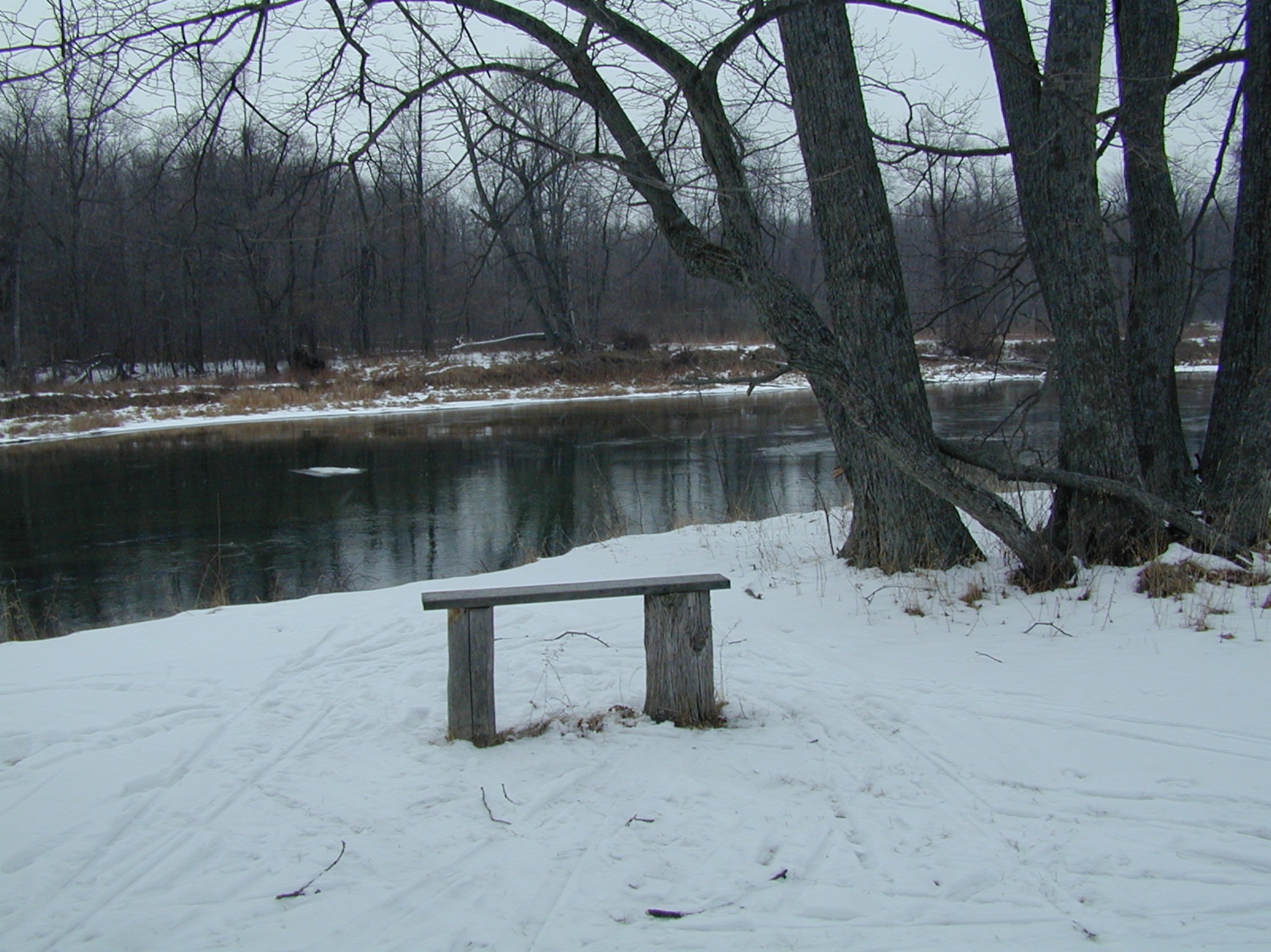
A bench alongside the Eagle Run Trail waits for skiers in need of a rest.
Public Domain.
Download Original (2050 x 1537 pixels, 634.6 KB)
-
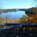
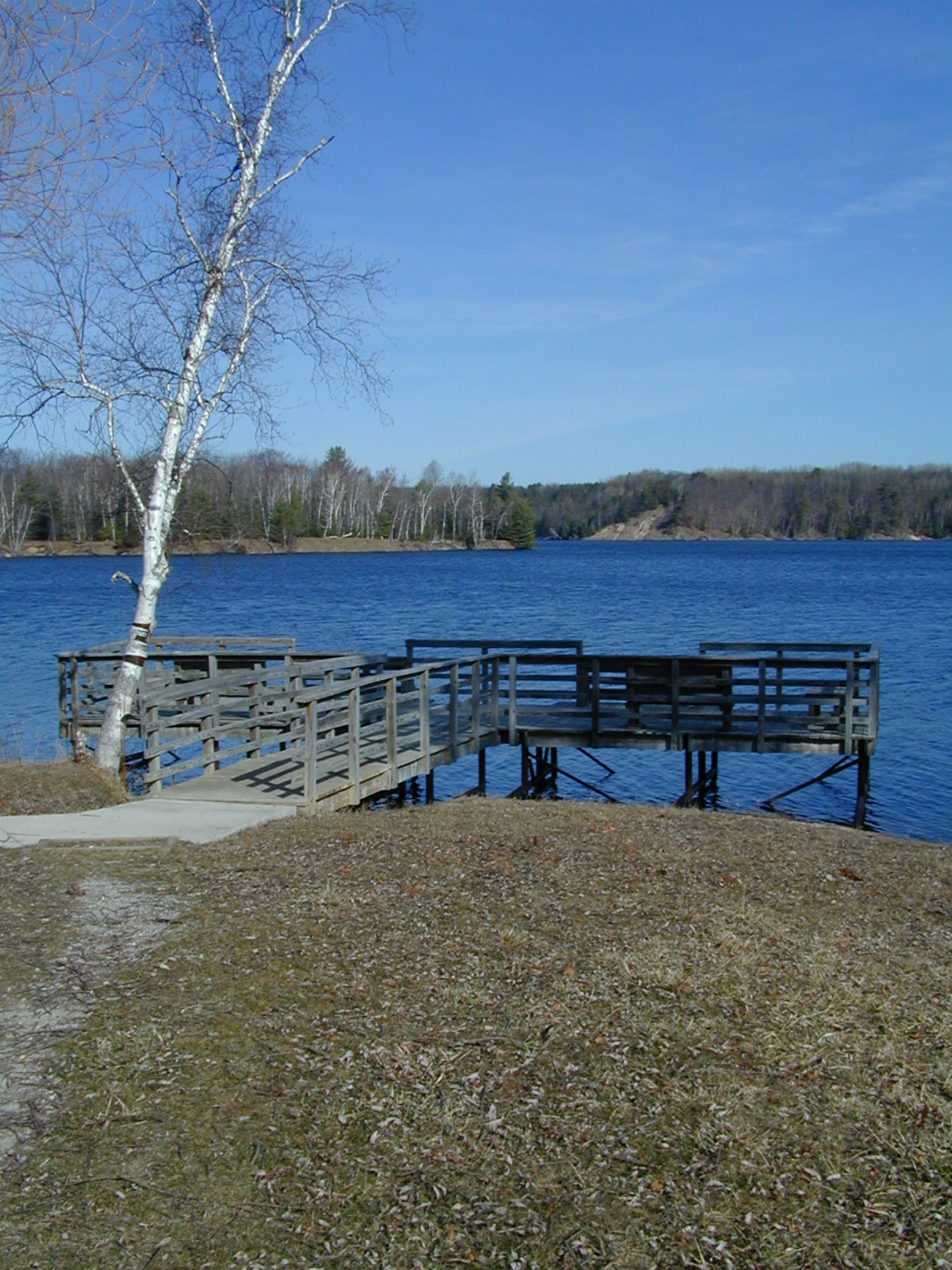
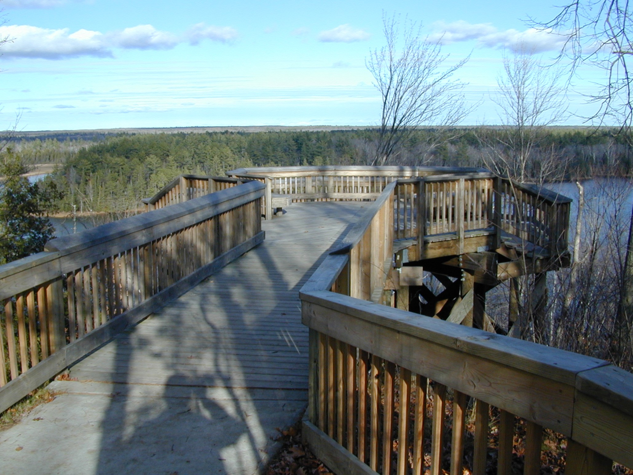
At Westgate Welcome Center, travelers will view Loud Pond of the Au Sable River from two observation decks.
Public Domain.
Download Original (2060 x 1545 pixels, 623.1 KB)
-
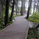
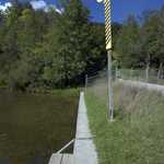
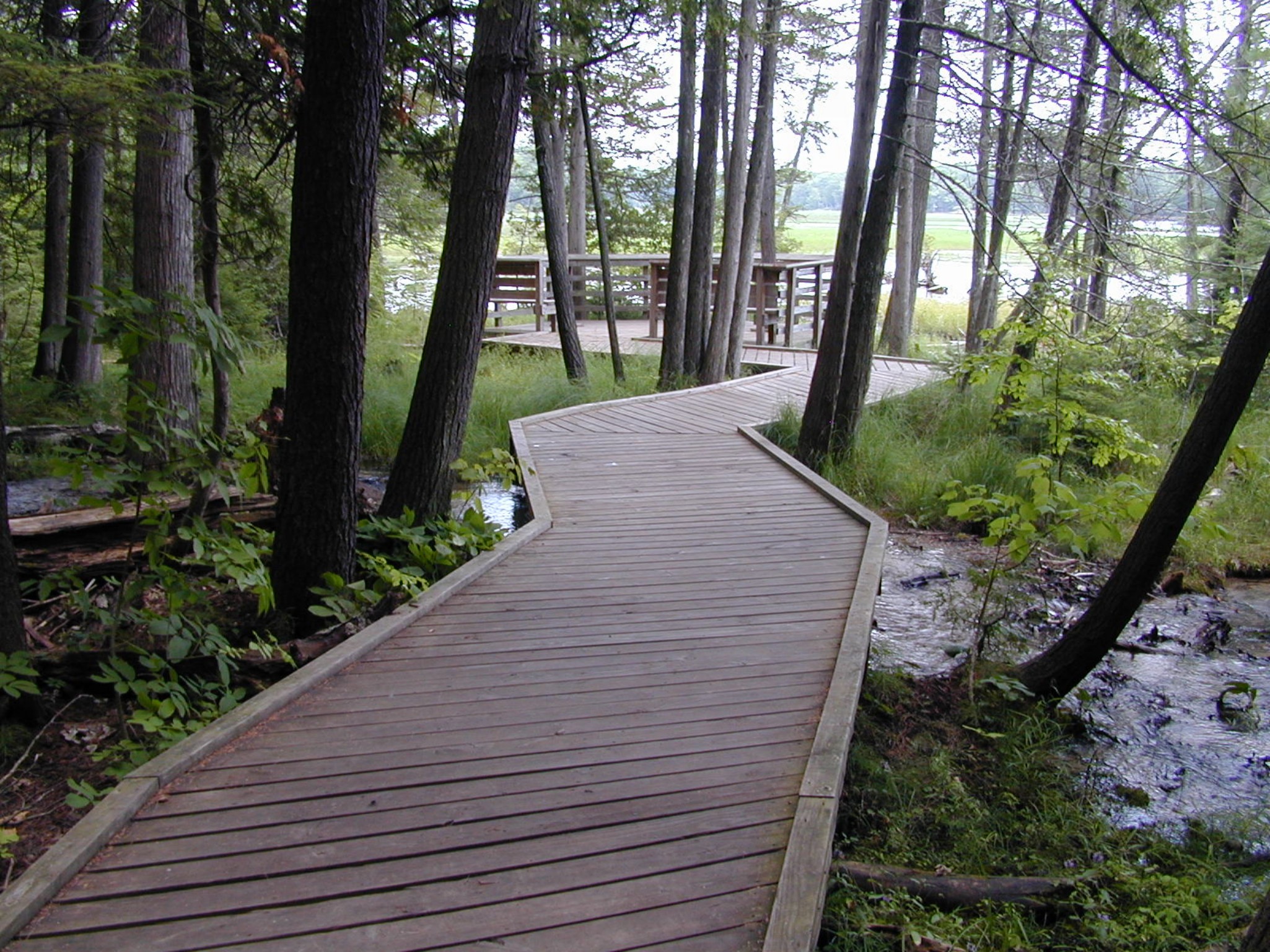
Several hundred feet of elevated boardwalk meander through the Iargo Springs Interpretive Site and lead to small platforms overlooking the river. Large pines, maple, hemlock, and cedar give the impression of walking through an ancient forest.
Public Domain.
Download Original (2050 x 1537 pixels, 832.5 KB)
-
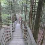
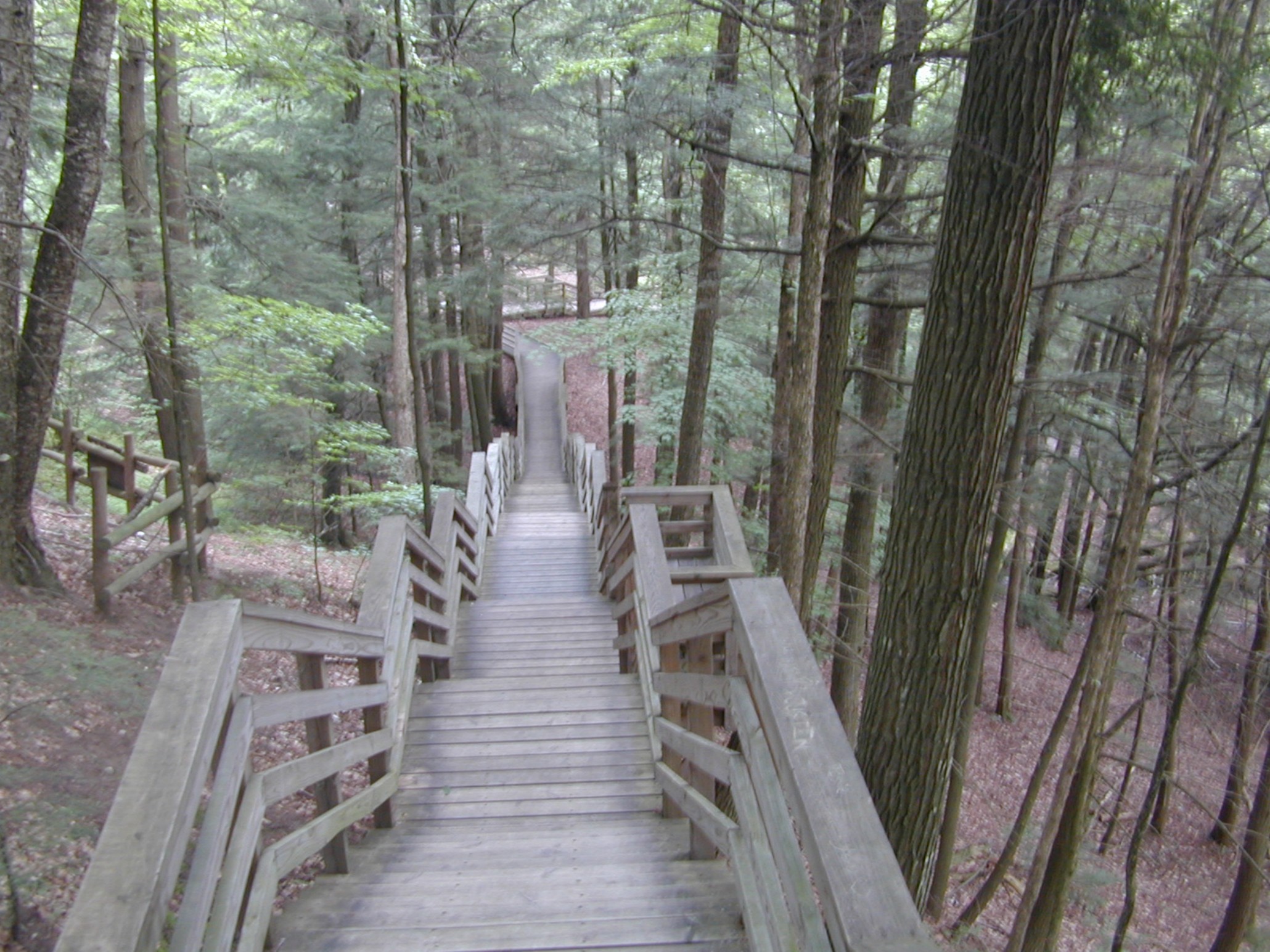
This stairway at Iargo Springs is 304 steps down to the spring area. Large white and red pine, hemlock, and maple line the staircase, providing shade on hot summer days.
Public Domain.
Download Original (2060 x 1545 pixels, 669.0 KB)
-
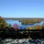
Horseshoe Island nestles in blue waters against an autumn backdrop.
Public Domain.
Download Original (2050 x 1537 pixels, 484.1 KB)
-
The waters of the Cooke Dam lap up against the artificial shores.
Public Domain. Photo courtesy of Consumers Energy
Download Original (3008 x 1960 pixels, 1286.5 MB)
-
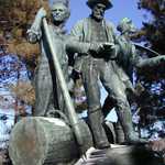
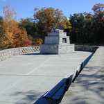
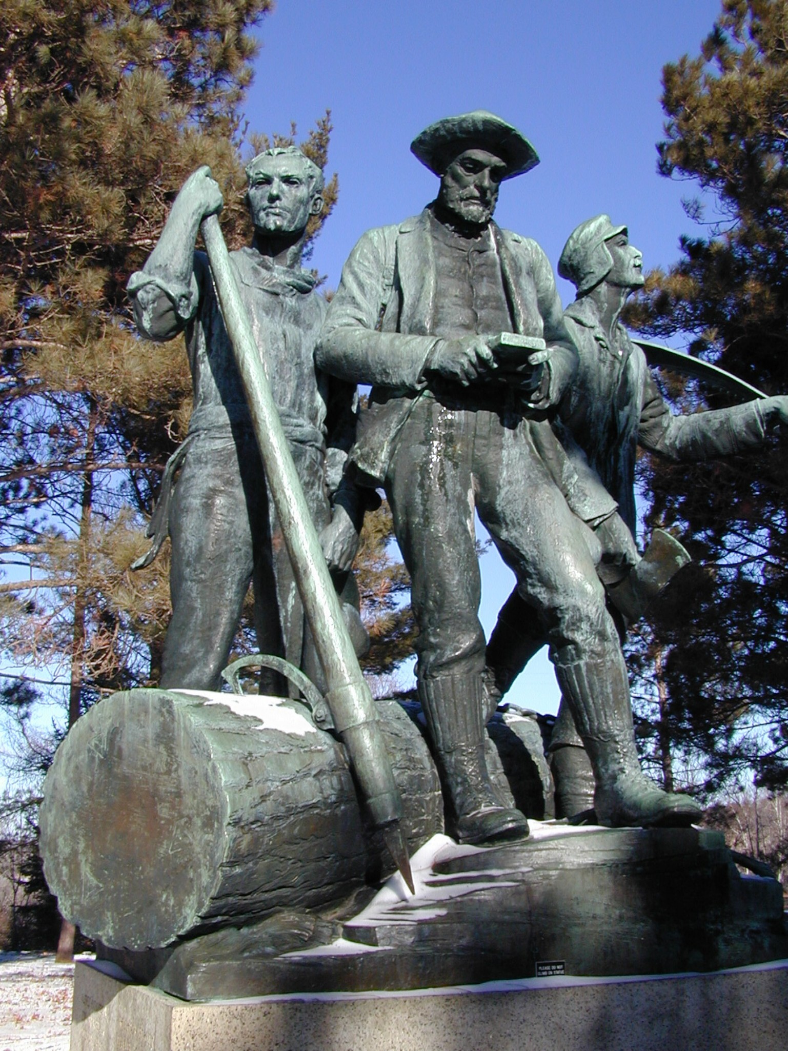
Lumberman's Monument is a 14 foot bronze and granite statue that pays tribute to the early lumbermen who played a significant role in the development of Michigan.
Public Domain.
Download Original (1537 x 2050 pixels, 782.5 KB)
-
A sign on top of Cooke Dam signals to canoers that there is a place to dock here.
Public Domain. Photo courtesy of Consumers Energy
Download Original (1960 x 3008 pixels, 1443.0 MB)
-

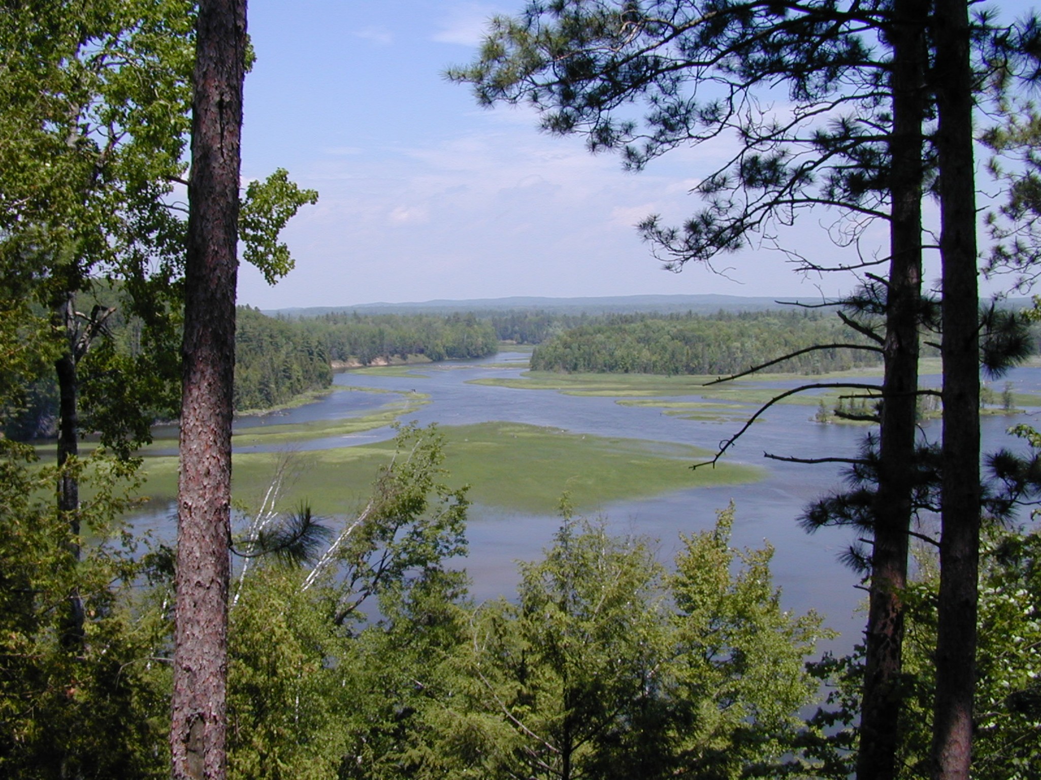
This view of Loud Pond and the Au Sable River is from the small observation deck at Westgate Welcome Center. The observation deck is tucked among large pines, allowing an eagle's eye view of the water below.
Public Domain. Courtesy of U.S. Forest Service
Download Original (2050 x 1537 pixels, 779.6 KB)
-
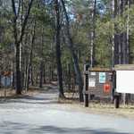
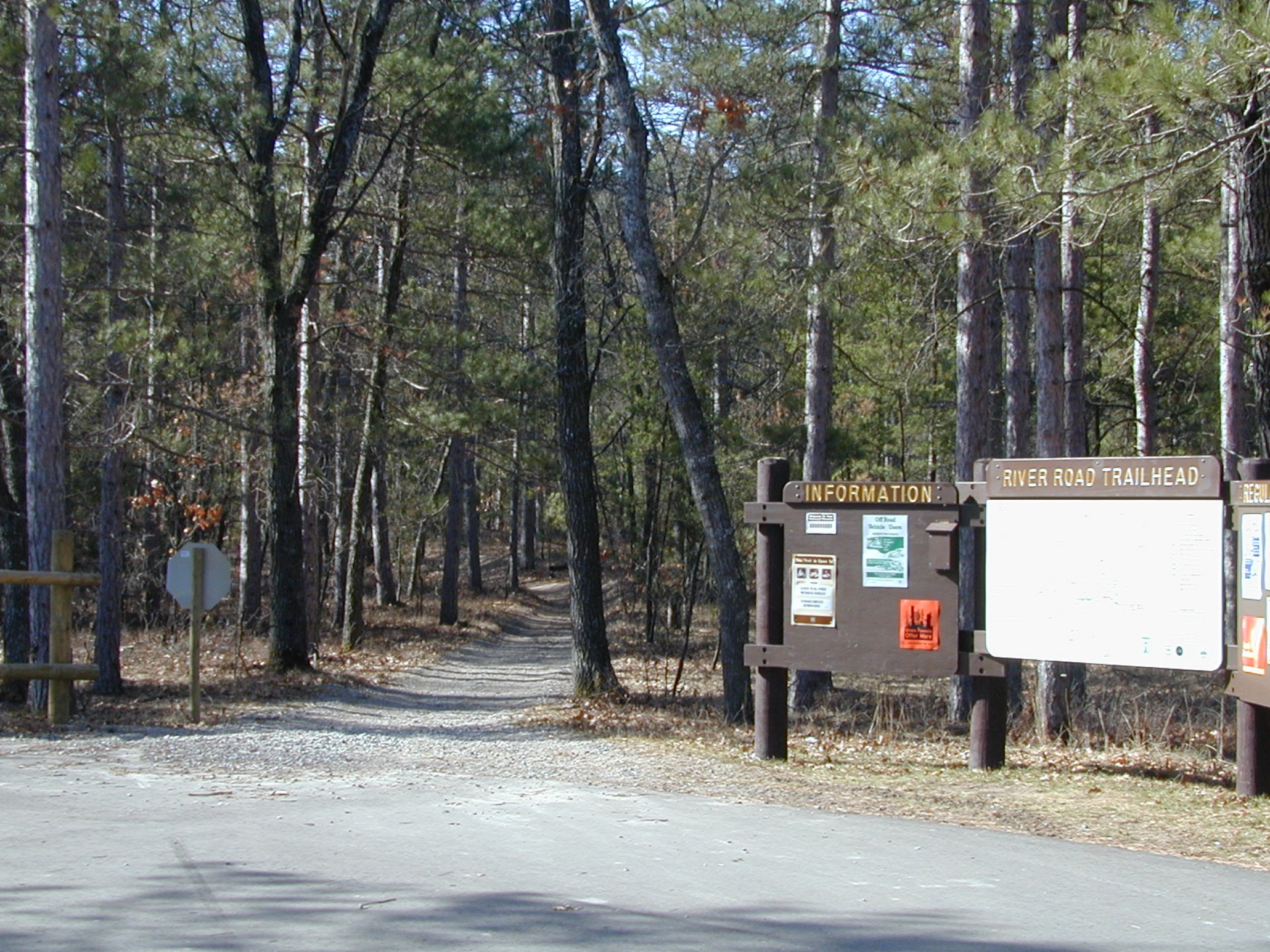
Large information boards provide route maps, rules and regulations, and information for riders at the River Road off-highway vehicle (OHV) trailhead.
Public Domain.
Download Original (2060 x 1545 pixels, 860.3 KB)
-
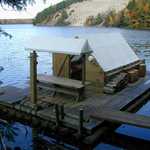
A wanigan, the floating cook shacks that followed the river drivers as they floated logs to the sawmills, sits at the bottom of the 300 step stairway at Lumberman's Monument Visitor Center.
Public Domain.
Download Original (2050 x 1537 pixels, 656.7 KB)
-
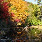
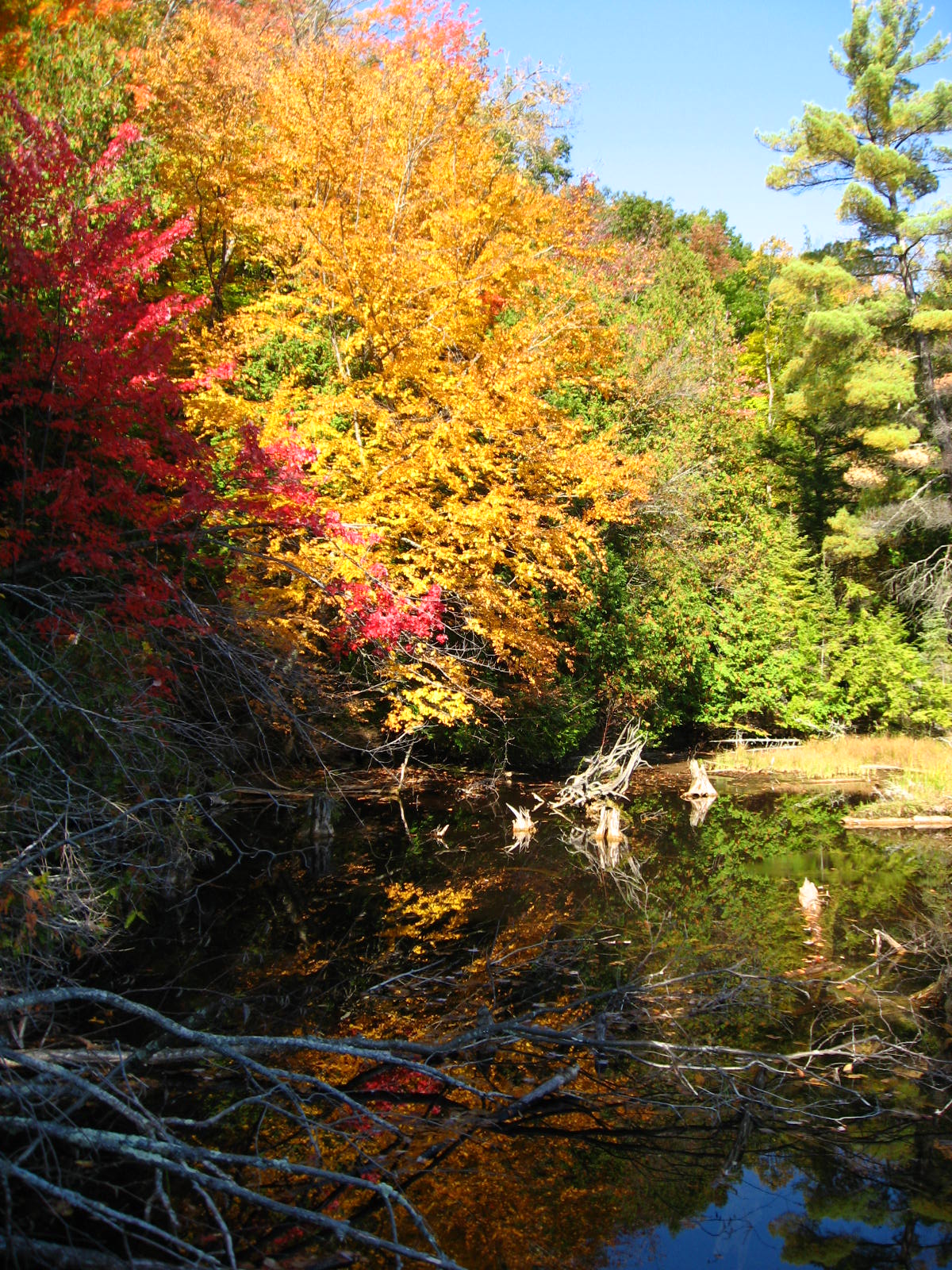
The rhythmic current of the Au Sable River flows past thickly clustered trees that have become red and gold in fall's cool air.
 © October 2008 Linda N. of Flickr.com.
Download Original (1200 x 1600 pixels, 588.9 KB)